WWW.KARLSWALKS.CO.UK
PICTURES AND TRIP REPORTS FROM MY WALKS IN THE ENGLISH LAKE DISTRICT
|
E-mail - karl@karlswalks.co.uk |
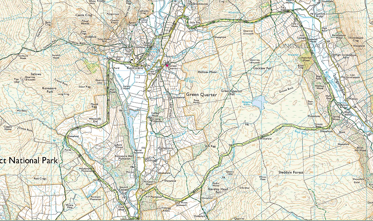
A spell of miserable weather and a touch of man flu has meant that it's been over a month since my last Lakeland walk so a forecast which promised a very low chance of rain and maybe even a sunny spell or two was grabbed at with both hands ( feet? ). I really like the walks from the Staveley area, the navigation is easy,I like the contrast between the lush valley bottoms and the wide open and gloriously desolate moorland, it's usually very quiet and as a bonus Staveley is only just over an hour from my house.
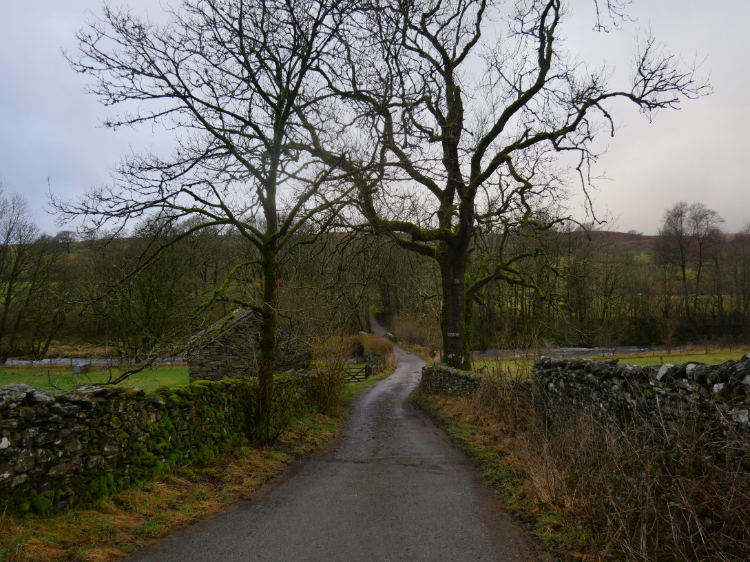
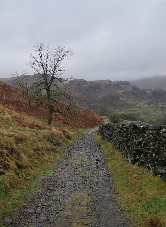
Not a really early start but the small car parking spot by Ullthwaite Bridge was empty. This is the track down to the bridge and the river Kent.
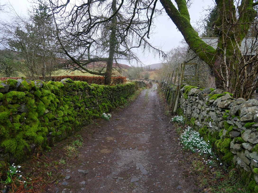
After passing Croft Head I took a path which I've never walked before which heads up to the higher ground above the valley.
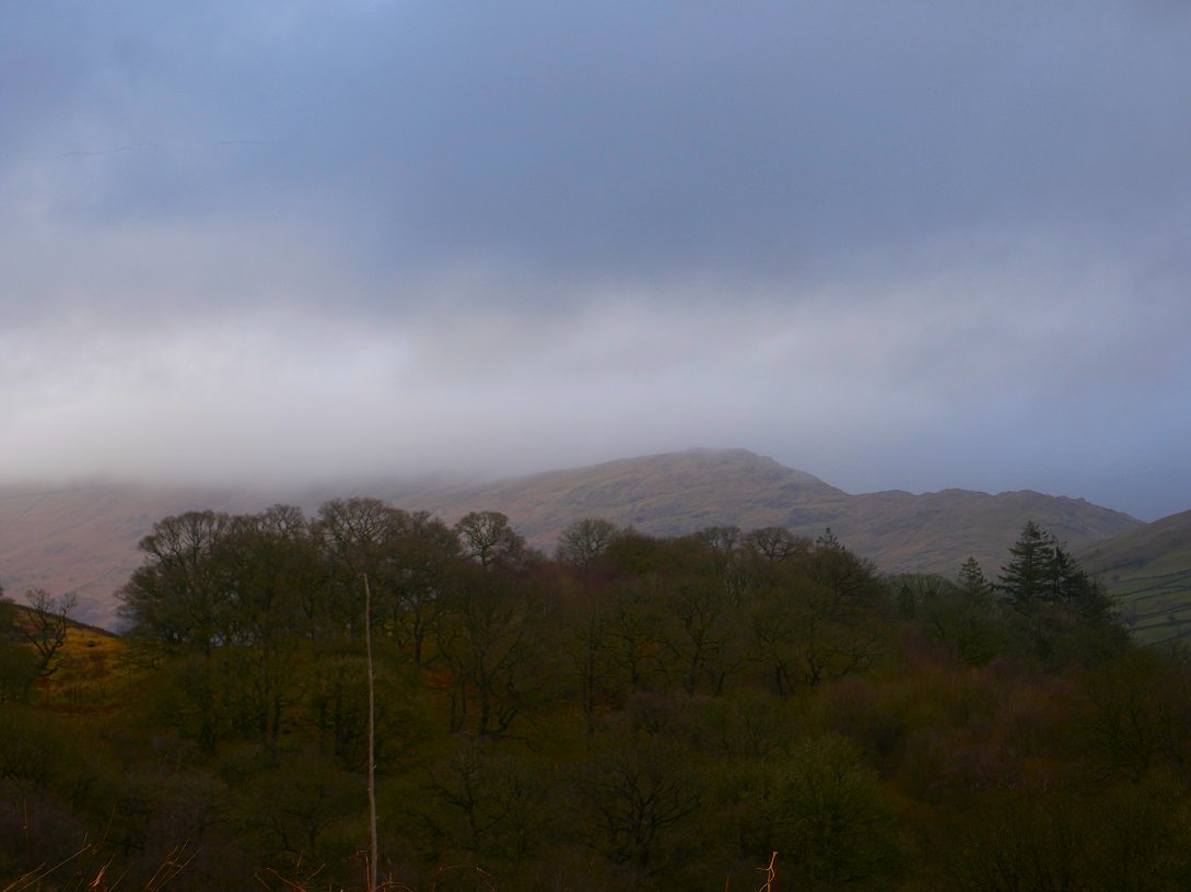
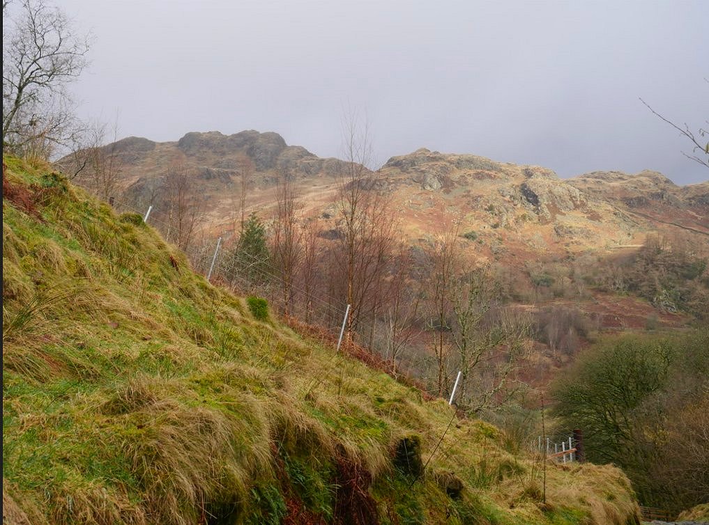
The skies over Wray Crag and Shipman Knotts were brightening up nicely, although Kentmere Pike is still in cloud.
My "new" track eventually met up with the path around Whiteside End from where as you round the corner you get a view down to Castle Crag and the other little tops above the Garburn pass.
Nice bit of sunlight on what I think is Piked Howes.
.
And a nice bit of blue sky over Green Quarter Fell.

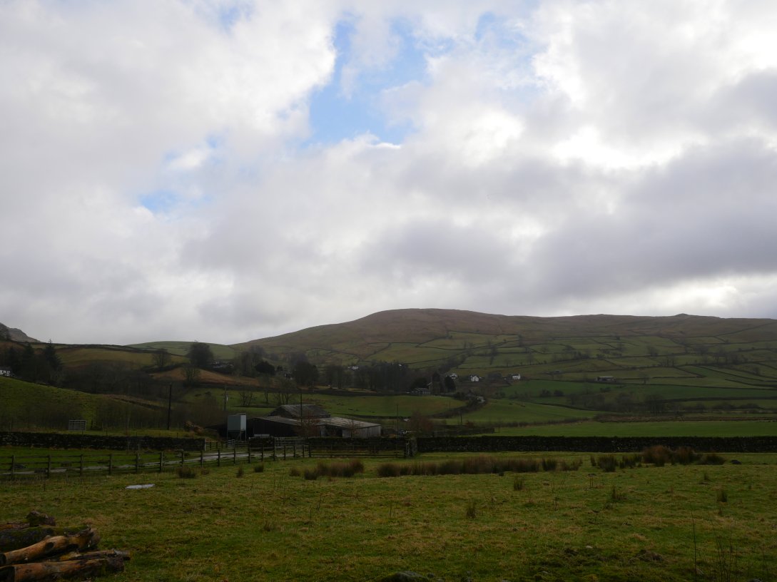
In the time it took me to walk through Kentmere the cloud had lifted from the full extent of the KentmerPike/Harter Fell ridge and from the head of the valley as well revealing Lingmell End.
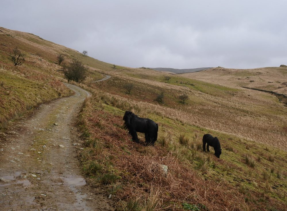
The free roaming ponies which roam over the fells locally were down on the pass over to Longsleddale.
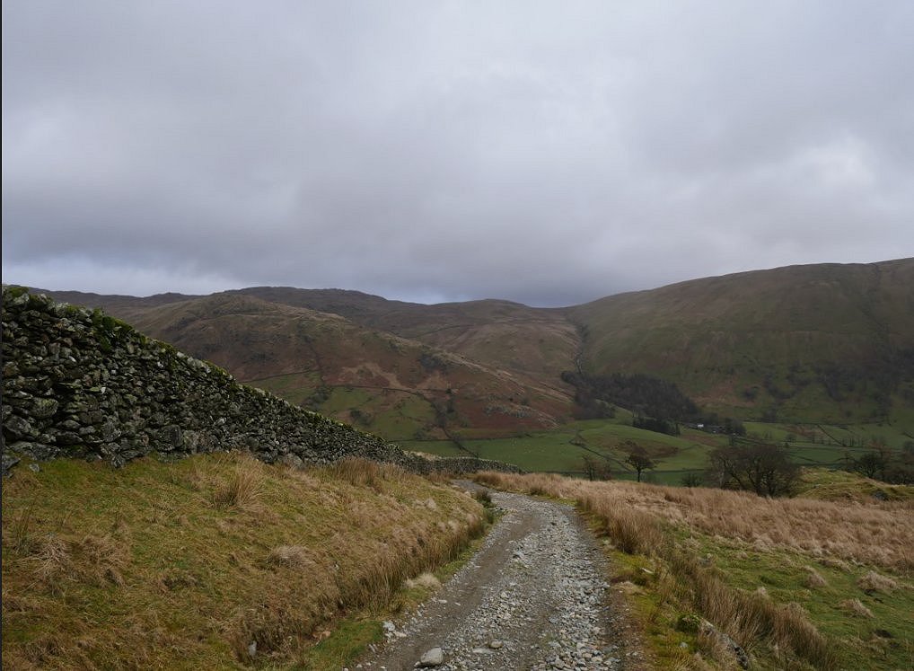
And here is Longsleddale. The steep stream ravine and hillside across the valley above the trees are where I came down on a very wet day a few years ago and is not a descent I remember with any fondness.
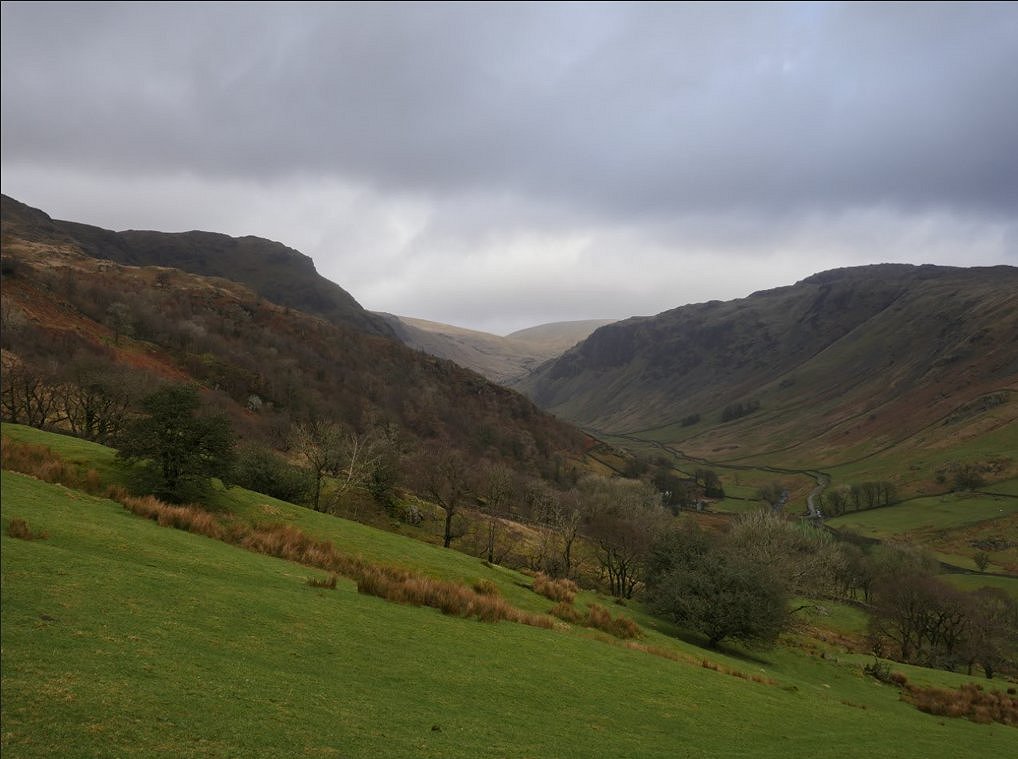
The view along lovely Longsleddale.
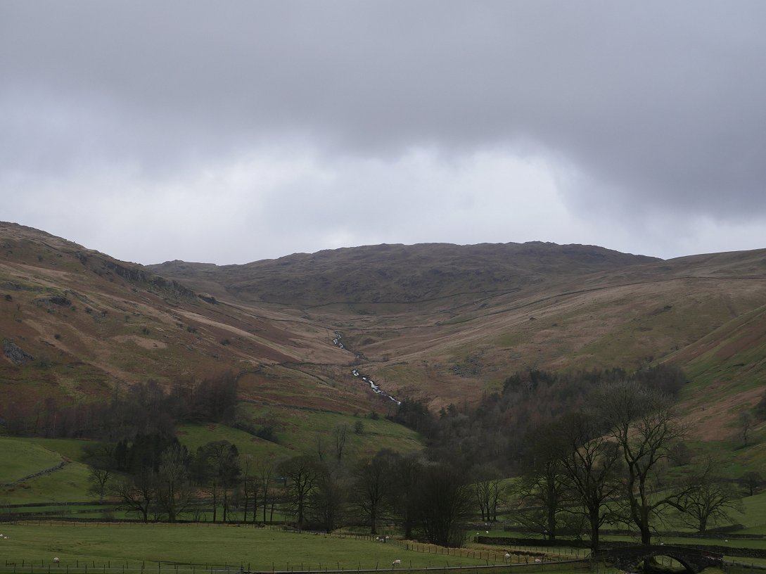
Looking up from Till's Hole to an unnamed Gill which climbs up to Sleddale Fell and Grey Crag which I filed away as a subject for future exploration.
After following the pleasant path along the valley for just over a mile I reach the farm named Hollins Root from where a path winds back up to higher ground.
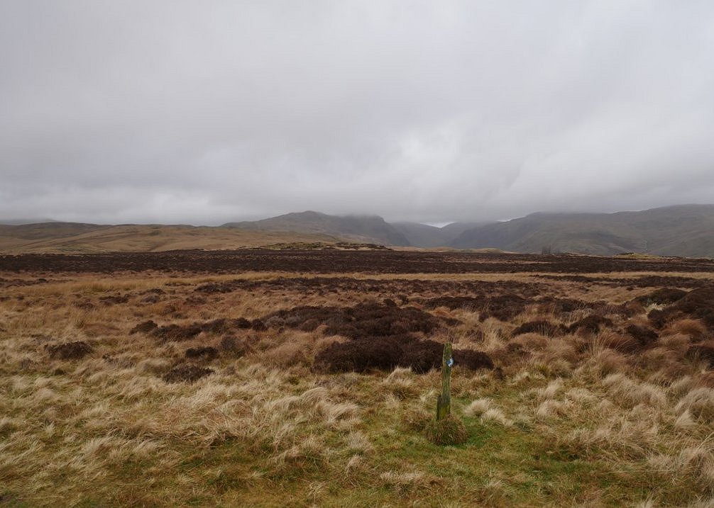
And soon I'm experiencing the glorious desolation of the moor. The skies have darkened and the cloud is descending back on to the high fells.There were spots of rain in the air but they didn't come to anything.
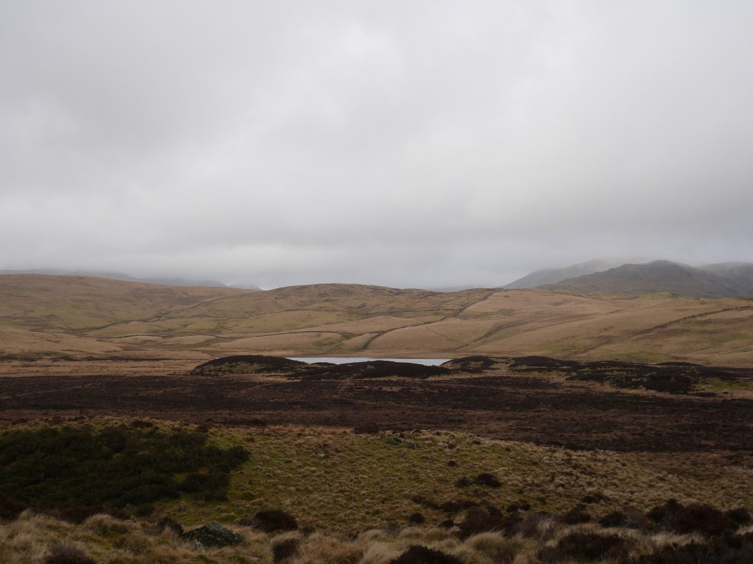
Passing Skeggles Water and unlike the sunny day last summer I wasn't tempted to have a dip.
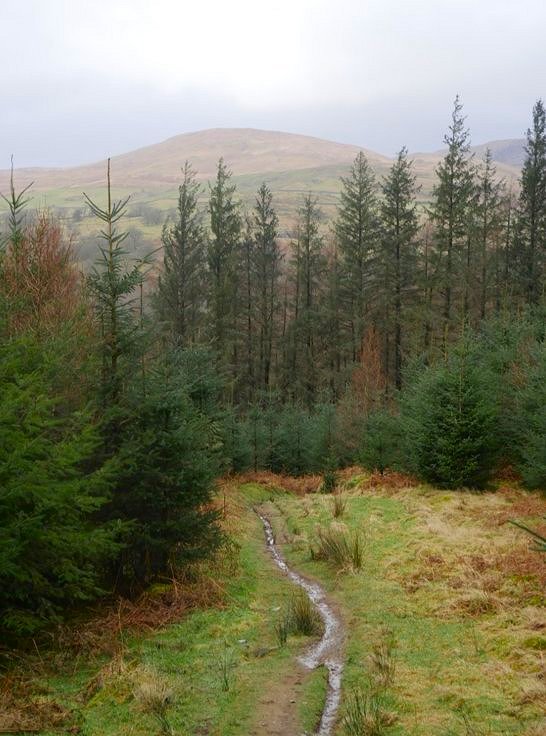
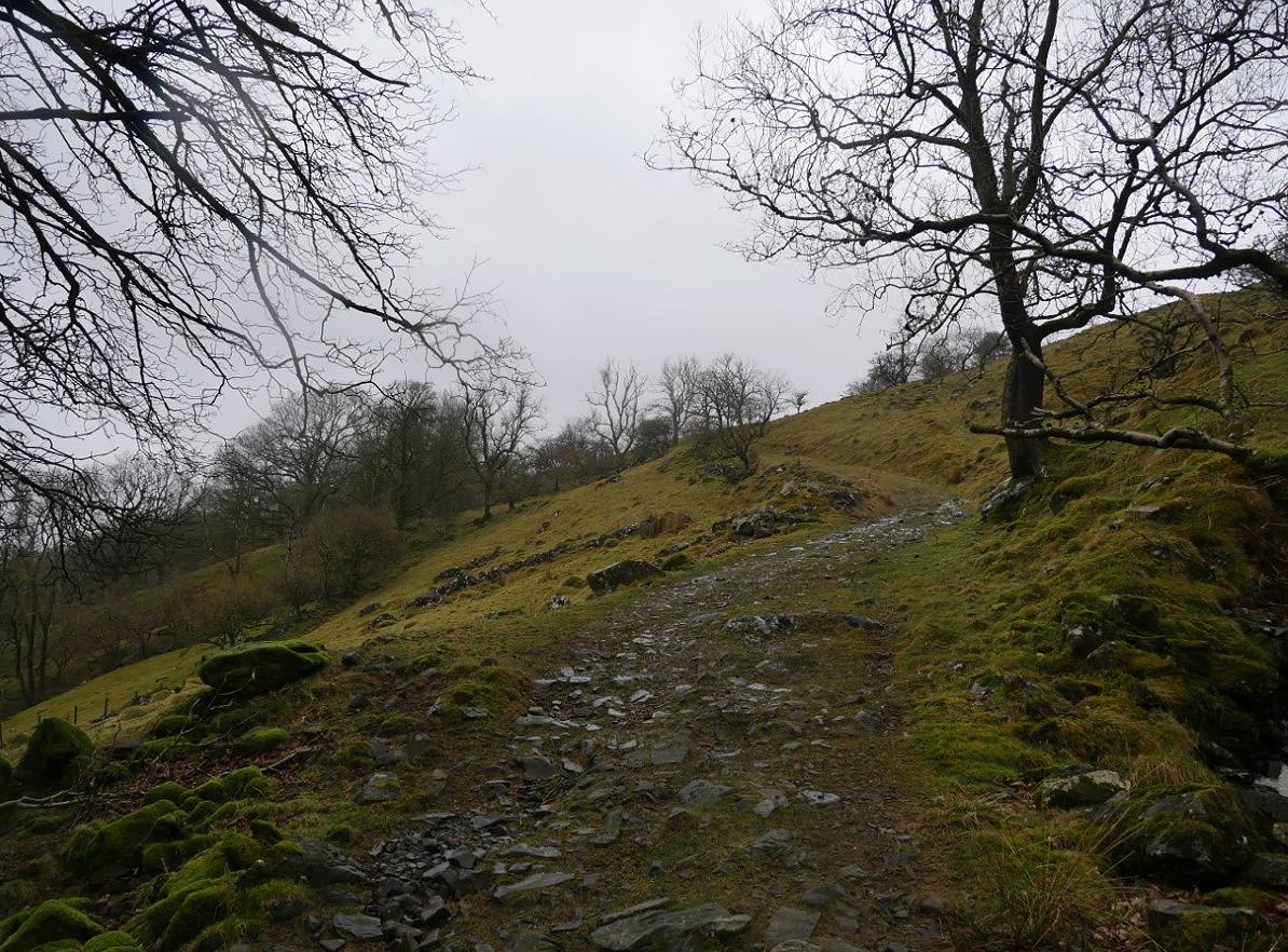
Eventually the moorland ends and I take a narrow winding path down through the HP plantation to meet the road a couple of hundred yards from my car.
Previous walk --Three days in Borrowdale - Next walk - A night on Steel Pike