WWW.KARLSWALKS.CO.UK
PICTURES AND TRIP REPORTS FROM MY WALKS IN THE ENGLISH LAKE DISTRICT
|
E-mail - karl@karlswalks.co.uk |
I met up with Richard from wildaboutwalking for a a camp in the grounds of Borrowdale youth hostel. Our plans were very fluid and depended largely on the weather which although dull at times turned out to be not as bad as feared which meant we got three nice walks in.
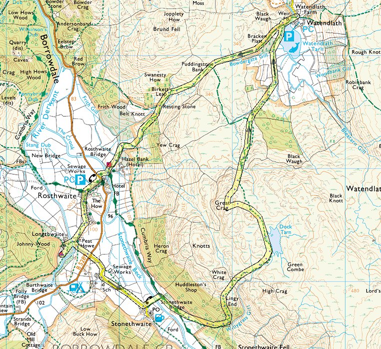
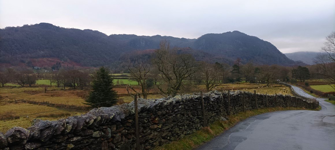
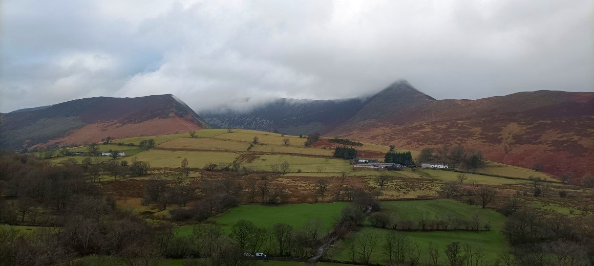
We arrived mid morning and after parking up we walked straight from the hostel to walk a round that I've done a few times. It was quite mild and looking to the north from the road to Stonethwaite there were quite a few patches of blue sky,
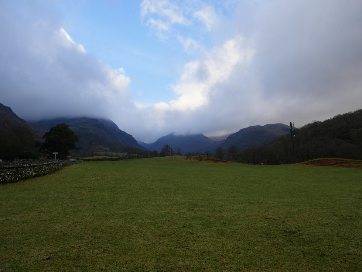
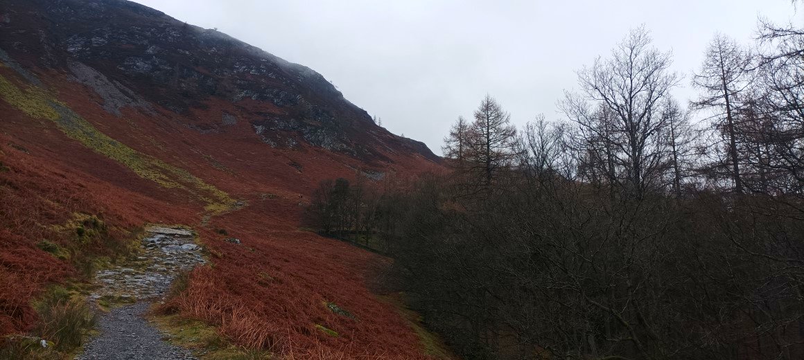
And a nice bit of winter sun on High Doat seen from the climb to the base of the steep steps to Lingy End.
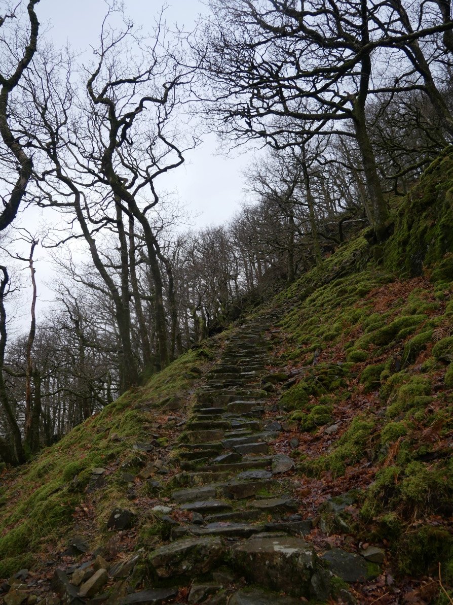
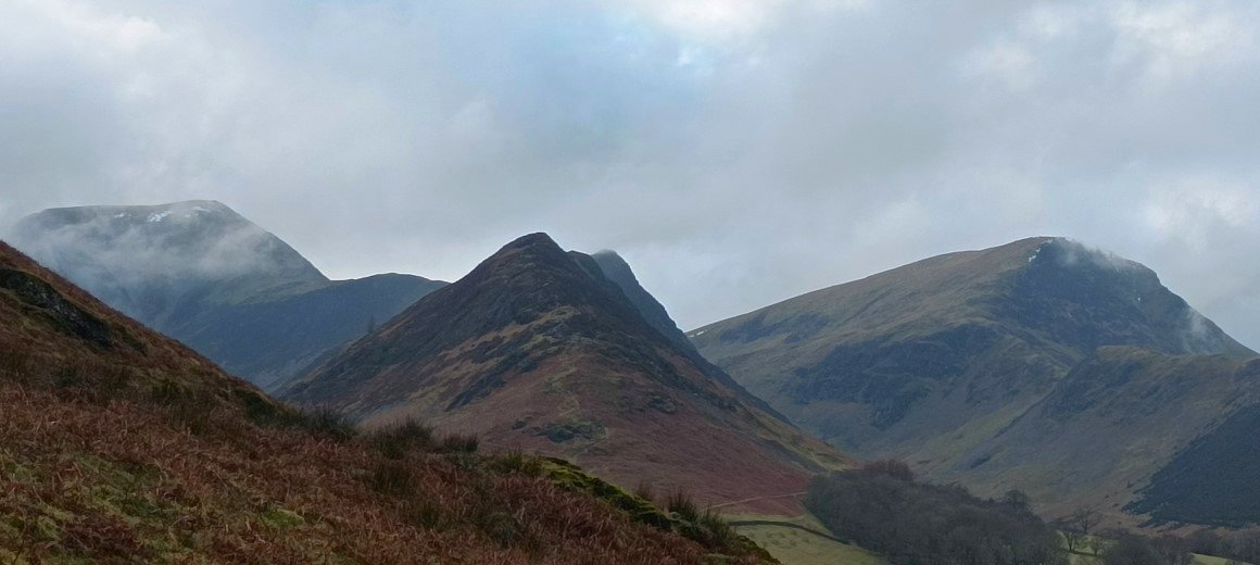
And they never seem to get any easier.
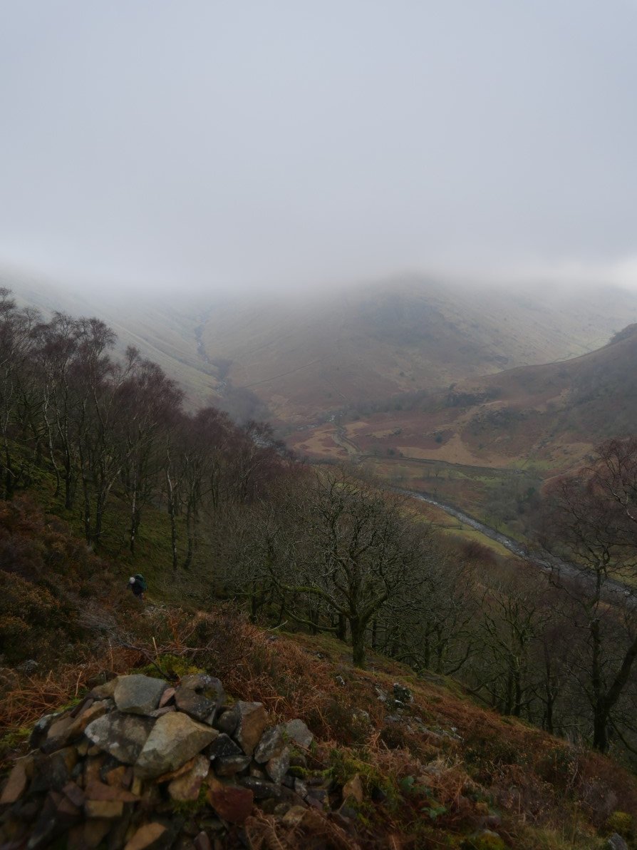
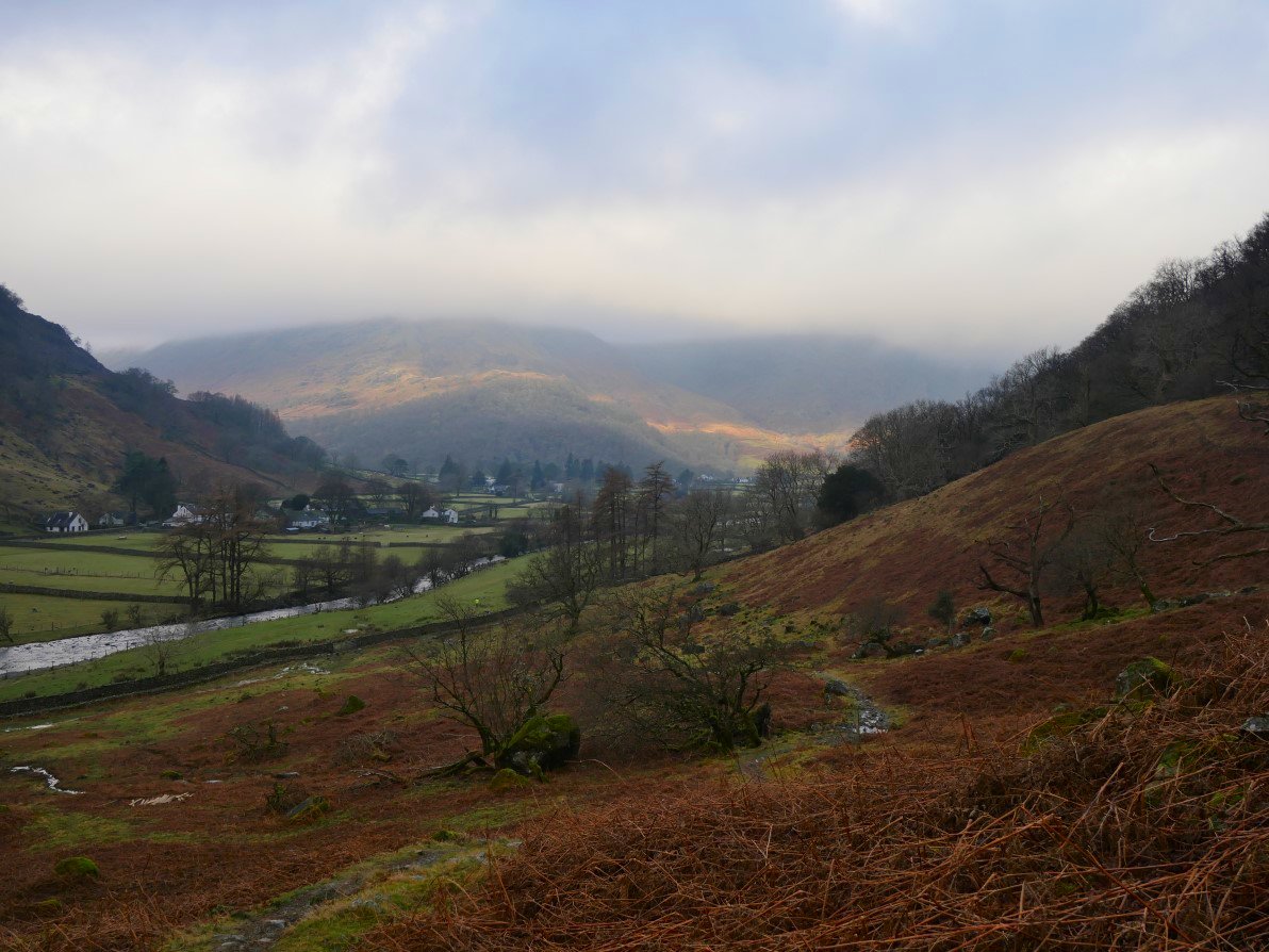
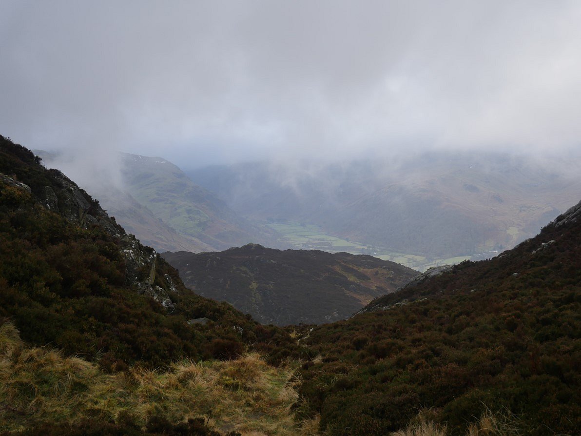
From the top of the steps there is not much sunshine to see over Eagle Crag and Langstrath.
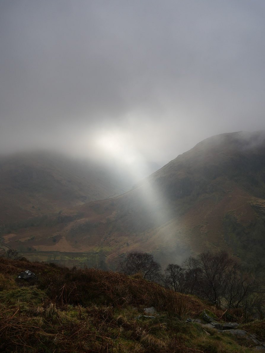
But suddenly...
.
Richard had never been to Dock Tarn so I was glad that we had a few minutes of bright skies to show the tarn off better. I urged him to come back on a sunny day in August when the heather is glorious.
We diverted from the main path which runs along side the tarn to Climb Great Crag.
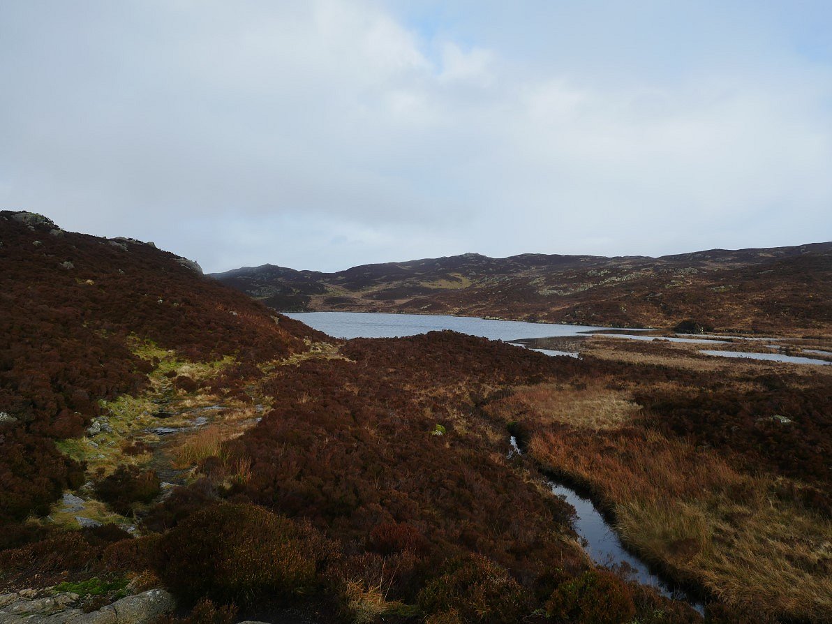
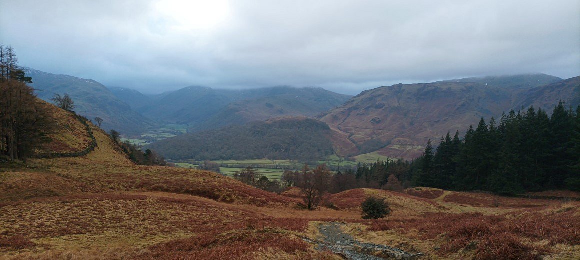
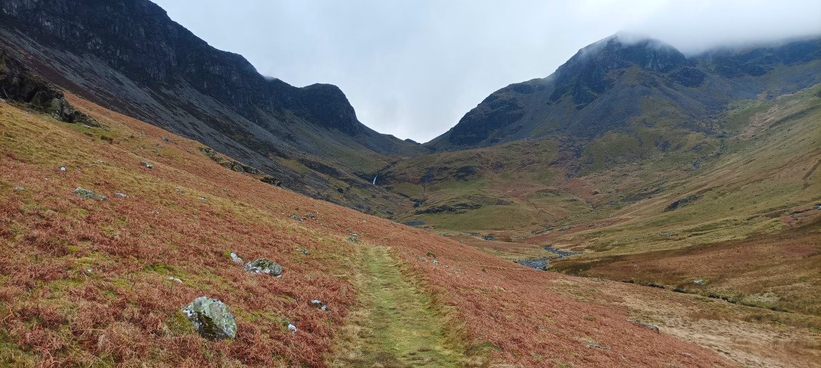
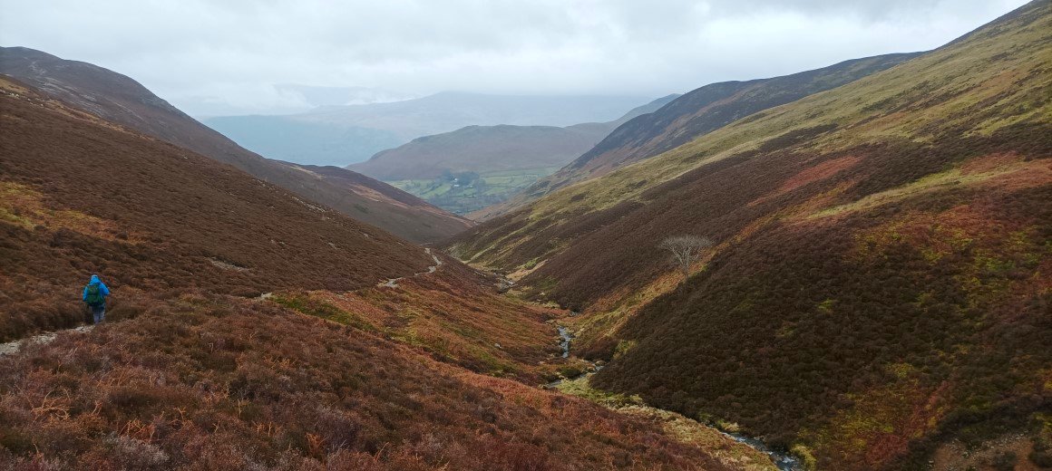
And from a col just before the summit we had a misty view along the Seathwaite valley.
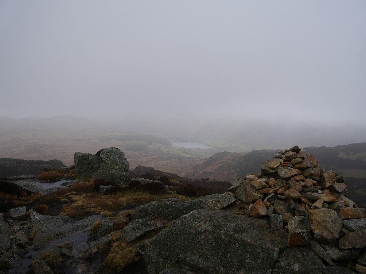
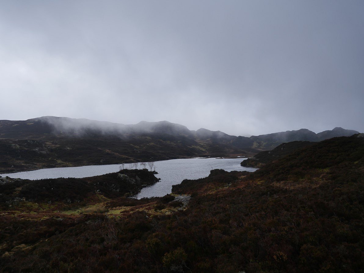
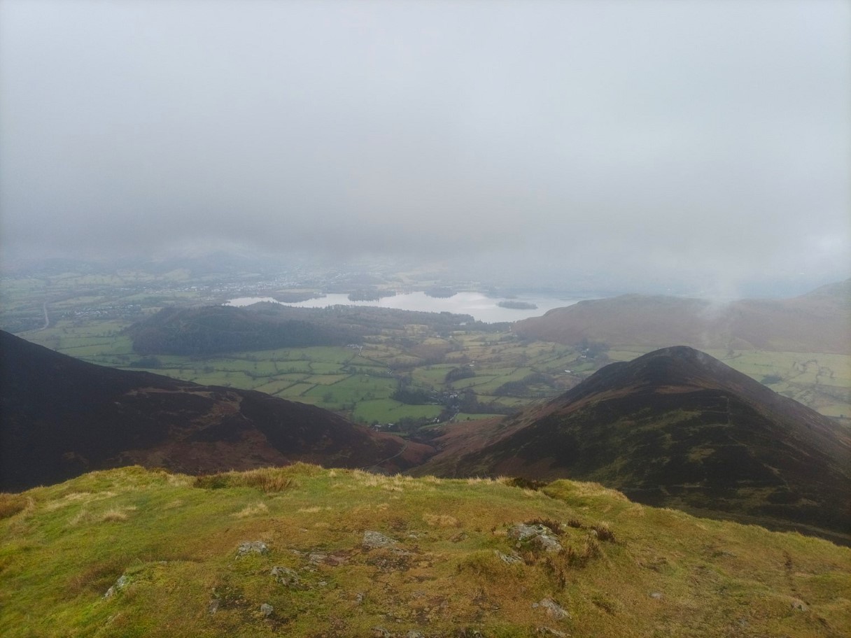
Watendlath just about visible from Great Crag.
Looking across to the several bumps that form the summit of Grange Fell.
Although the day was quite mild and we had no ice the steps down the steep gully were very greasy so we took our time.
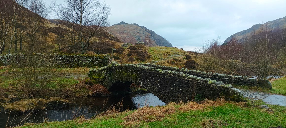
The teashop at Watendlath was closed so we had a break and a bite to eat leant against a wall sheltering from the chilly breeze that had started blowing. This is the often photographed bridge at Watendlath
Looking down to Borrowdale, luckily it stayed dry so we got our tents up without any trouble and enjoyed a nice evening around the roaring fire in the hostel.
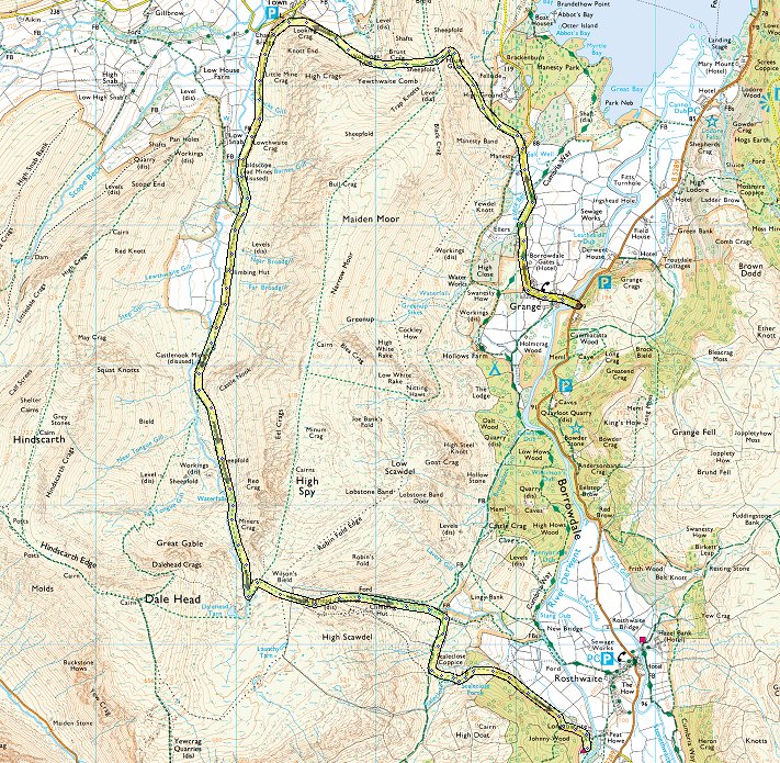
Route 17th - Grange - Hause Gate - Yewthwaite Comb - following Newlands Beck - Rigghead Quarries - Johnny Wood - ( About 7 miles 2200ft of ascent )
Today we had planned to climb up to Glaramara but the cloud if anything was lower than yesterday so Richard suggested a walk starting from Grange.
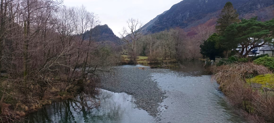
We saved ourselves a couple of miles by getting the bus to Grange. This is Castle Crag seen from the bridge over the river Derwent.
King's How seen from the short road walk to the start of the path up to Hause Gate..
On the path now which climbs steadily upwards at a nice gradient but there are a couple of steeper zig zags near the top which are hidden from below.
Nice view over Derwentwater, the distinctive prow of Walla Crag is clear but Skiddaw and Blencathra are both well covered.
Over the hause and down through the quarry spoil on the other side. Binsey is just about keeping out of the cloud.
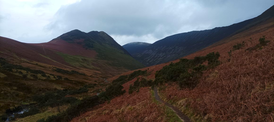
As we rounded the corner into the valley of Newlands Beck we both remarked that Scope End, Hindscarth and Robinson were well seen from this angle.
Across the Newlands valley are the Causey Pike/Scar Crags ridge on the right and the Ard Crags/Knott Rigg ridge on the left
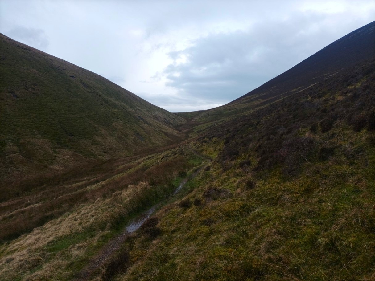
Approaching the end of the valley. We were entertained on our walk by a couple of trainee search dogs trailing up and down the fellside looking for a "casualty".
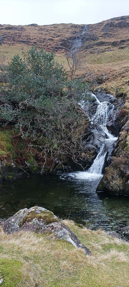
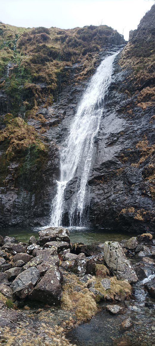
There are several lovely cascades and pools which take your mind off the steep climb here are a couple of them.
Unfortunately when we reached the top of the hill my phone battery died so I couldn't take any photos of our descent through the quarries and back to the Hostel.
Route 18th - Rigg Beck Quarry - Rigg Beck - Rigg Screes - Scar Crags - Causey Pike - High Moss- Stonycroft mine road - Rigg Beck Quarry- ( About 6 miles 1900ft of ascent )
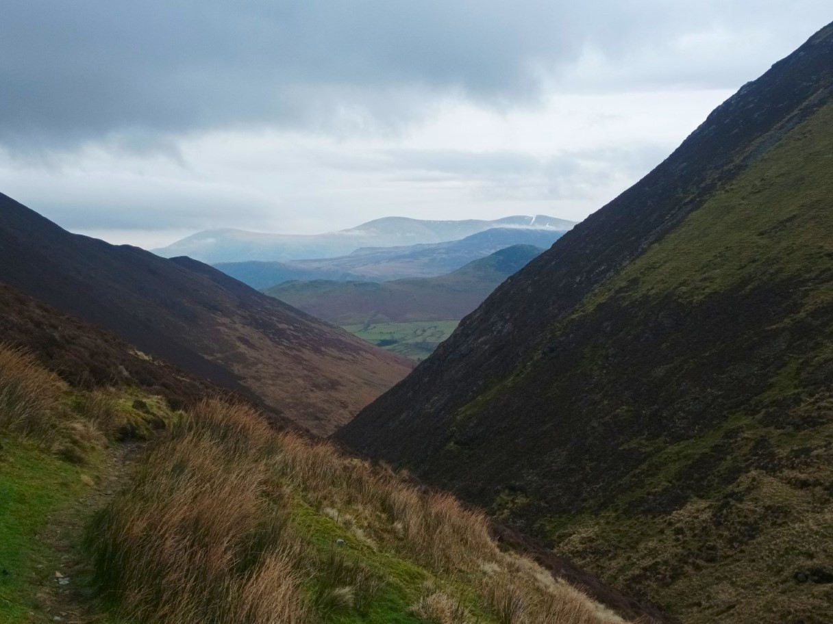
After a rainy night it was dry in the morning so we packed the tents away and drove around to the small car parking space in the old quarry at the eastern end of the track to Buttermere. Our plan today was to walk up the valley of Rigg Beck till we reached the highest point. This was my first time walking this section of path and I found it really enjoyable as it climbed gently upwards underneath the high fellsides and by the rushing beck.
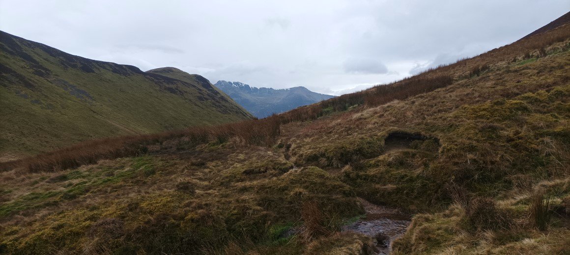
Nearly at the summit of the pass from where we were to turn right onto the slanting path to another higher col between Sail and Scar Crags.
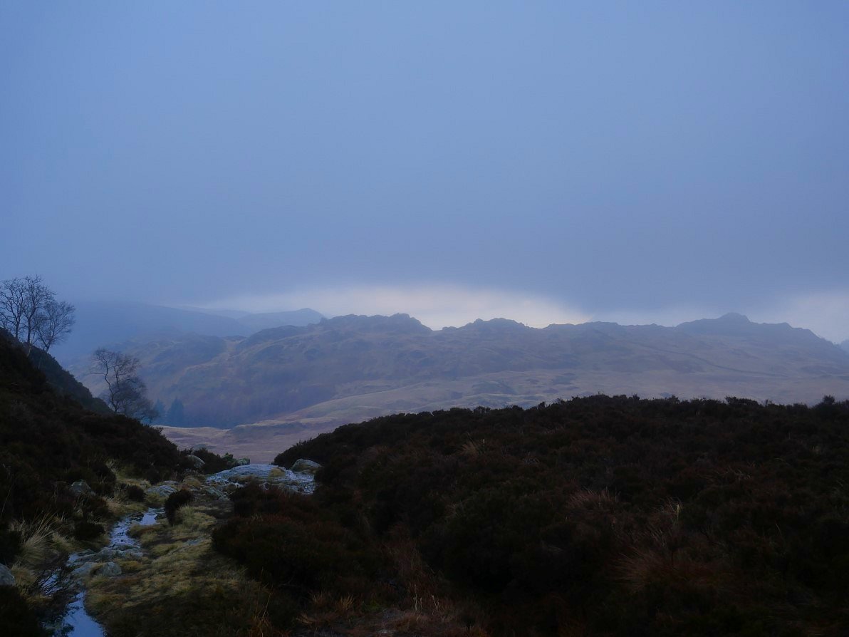
Great view back to the Helvellyn ridge from the col.
And in front of us are Red Pike and High Stile.
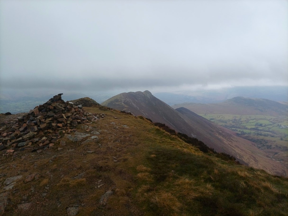
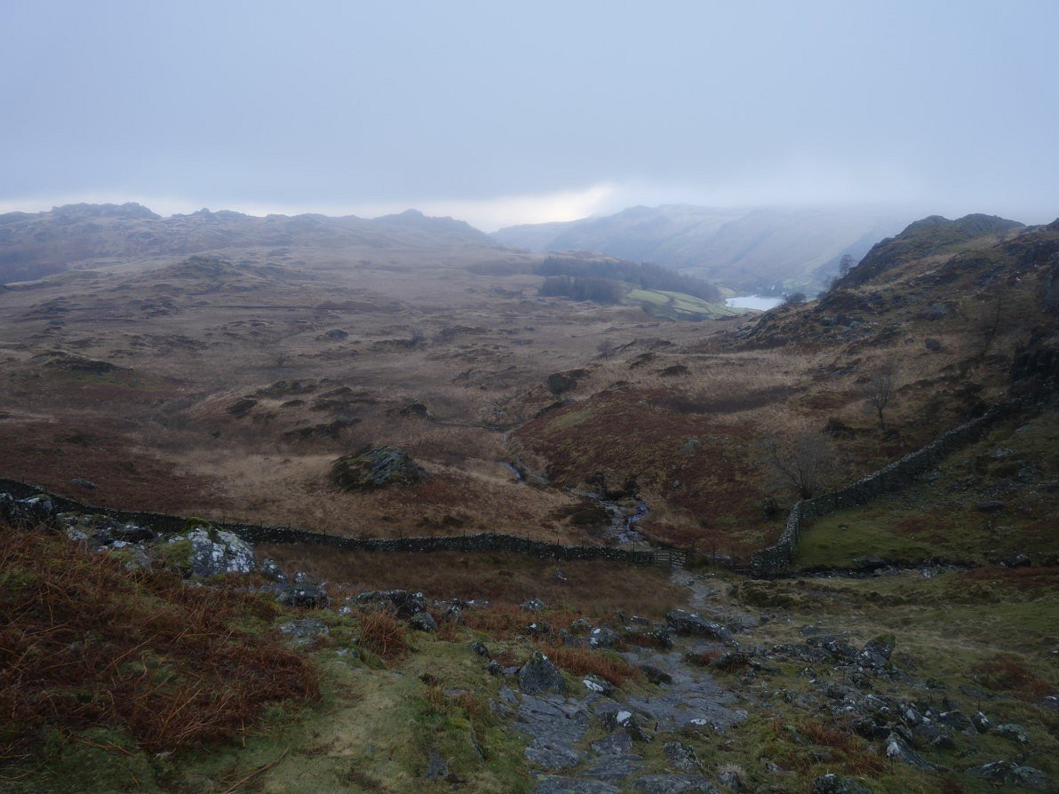
From the higher col we climbed up the zig zag path to Scar Crags from where there is a good view along to Causey PIke. The weather was closing in now with rain blowing in on a bitter wind.
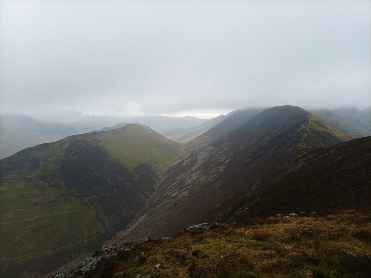
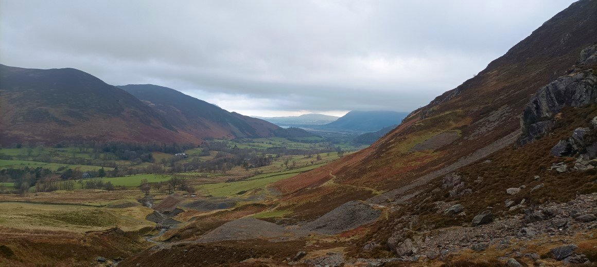
Looking down to the valley of Rigg Beck with Ard Crags above to the left and Scar Crags above to the right.
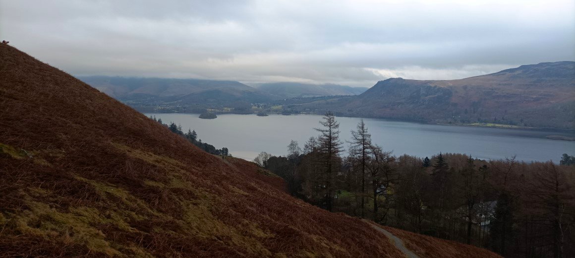
Very cold on Causey Pike so we didn't hang around. Derwentwater below under low cloud.
And a final photo as we descend the Stoneycroft mine track back to the road and the car. It was great to spend time with Richard and we agreed that for January we did pretty well with the weather, it could have been better but definitely could have been a lot worse.
Previous walk -- A Dunnerdale wander - Next walk - Around Green Quarter