WWW.KARLSWALKS.CO.UK
PICTURES AND TRIP REPORTS FROM MY WALKS IN THE ENGLISH LAKE DISTRICT
|
E-mail - karl@karlswalks.co.uk |
I had to work on Saturday morning so after getting my stuff together and making my way up the motorway it was nearly four when I tackled what seems like the longest single track road in the world and arrived at Sadgill.
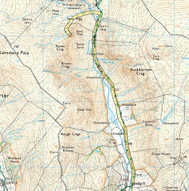
I think I'd missed out on the very nice weather from earlier in the day but it was still pretty good as I made my way along Longsleddale.
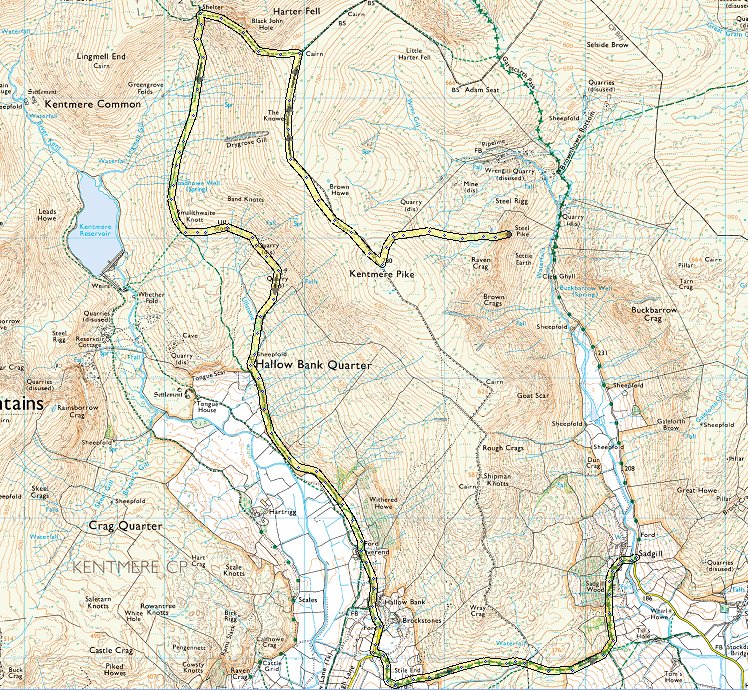
But looking back down the valley cloudier skies are moving in from the south.
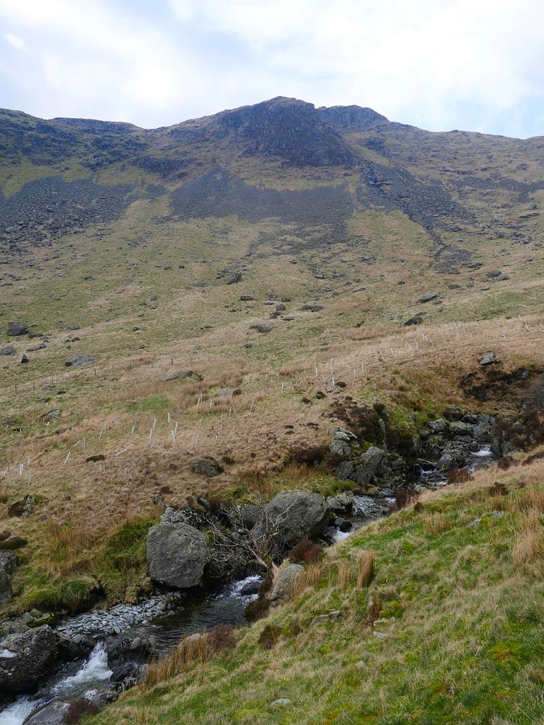
Further up the valley I'm passing under Steel Pike where I plan to camp. I've camped here once before but it rained virtually from the moment I arrived so fingers crossed the forecast is correct and I'll have a dry night..
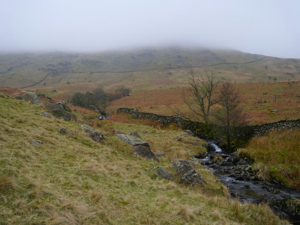
There are some lovely little cascades in the river Sprint. You sometimes need to leave the track to see them at their best but this one can be seen from the path.
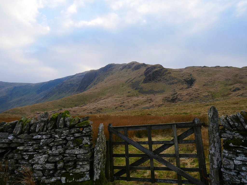
Eventually I reach the gate just before Wrengill Quarry, I intend to climb the knobbly ridge of Steel Rigg and then descend slightly to Steel Pike.
.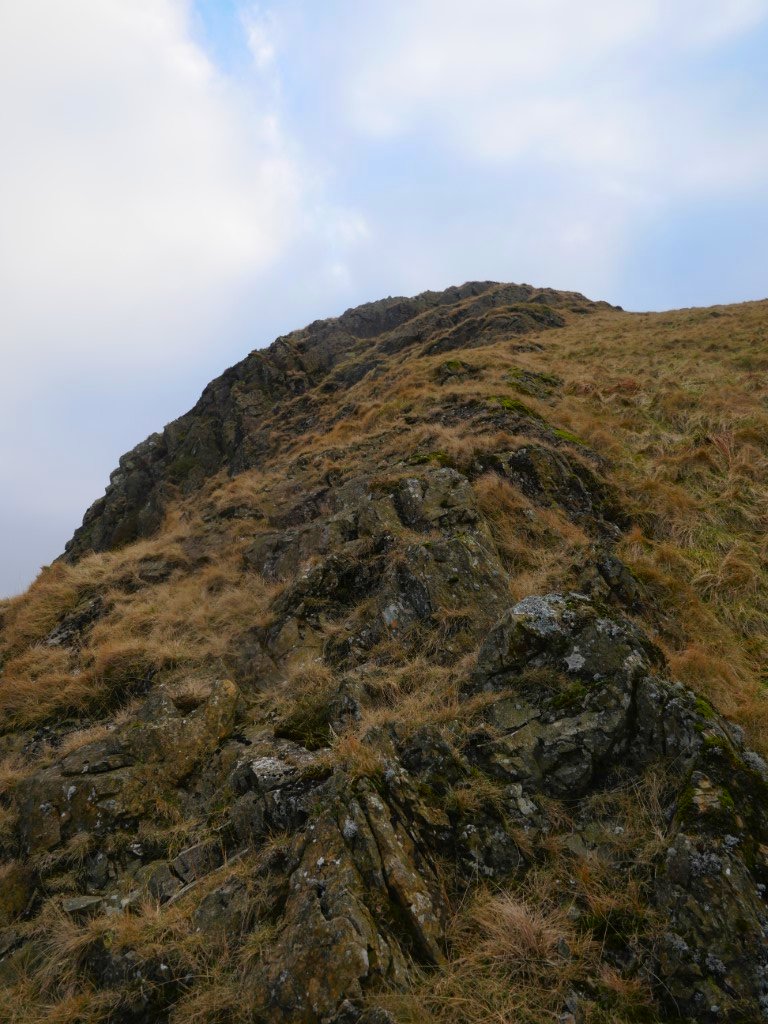
The climb was mostly on grass but I did seek out the odd bit of rock for an easy scramble.
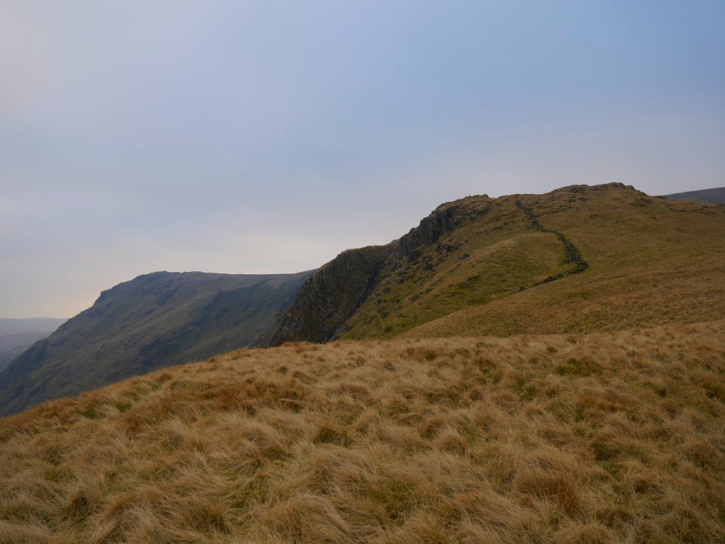
Not far to climb now. Steel Pike is the dark crag jutting out from Steel Rigg.
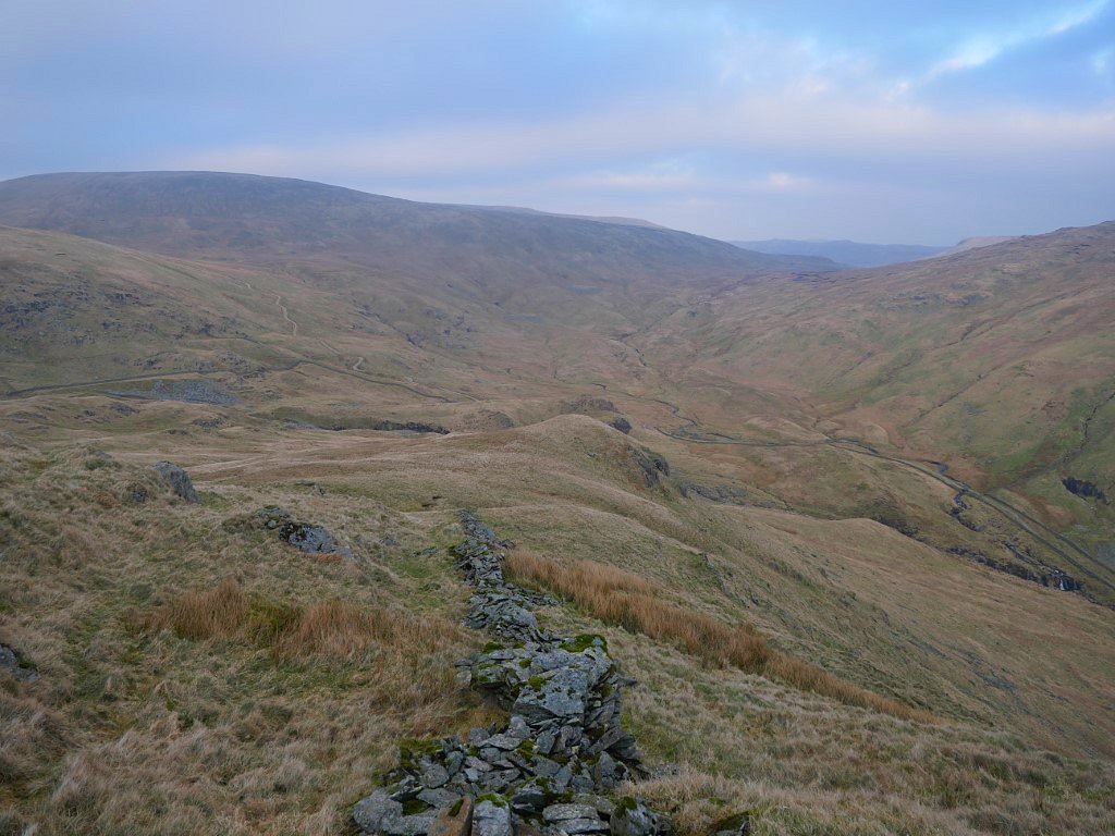
Looking down to Brownhowe Bottom and Mosedale. Branstree is to the left and The lower slopes of Tarn Crag to the right.
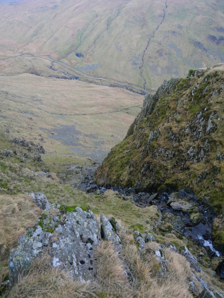
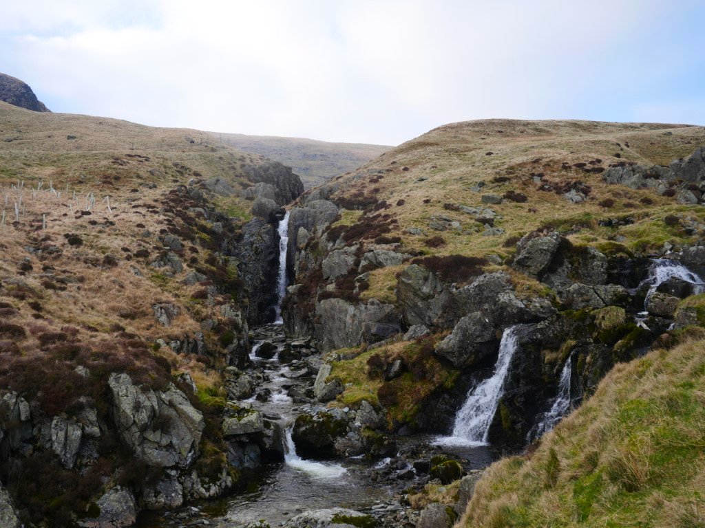
Between Steel Rigg and Steel Pike is this steep stream ravine which you have to cross and is probably not the best place to trip over your shoelace.
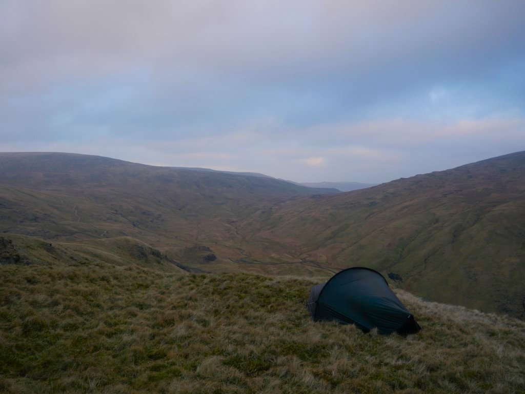
All set up now looking over to Branstree, Mosedale and in the distance the fells above Swindale.
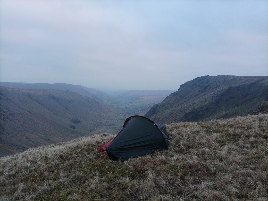
And looking back down Longsleddale. Goat Crag is the top to the right.
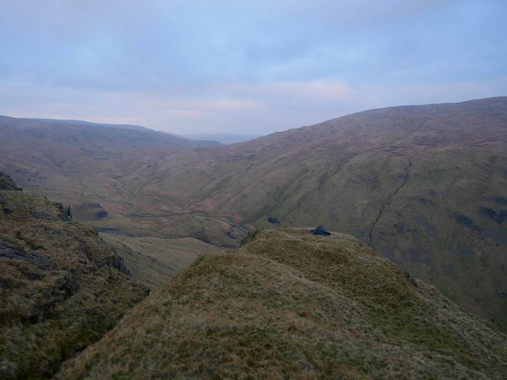
Looking back to my pitch from a wander around the hillside after tea. It was a very still evening but quite chilly and I was glad to get back to the tent and make a warming brew.
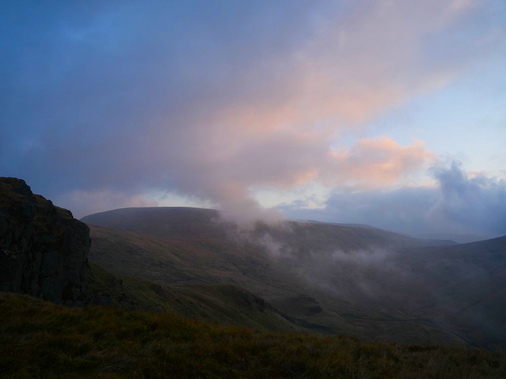
After a dry and calm night I woke to a great show of wind whipping cloud along the valley below and the over Branstree. No great sunrise but a nice bit of colour in the clouds.
It was really strange, I was in perfectly still conditions but just a few feet below I could hear the wind roaring along.
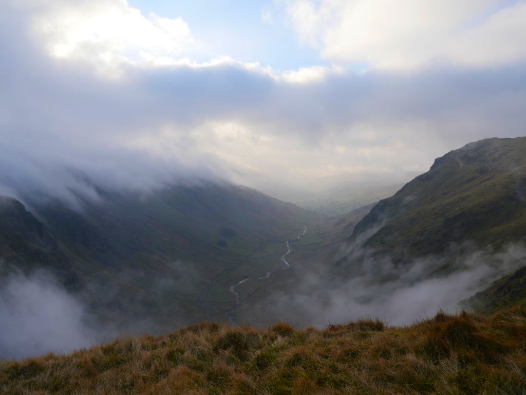
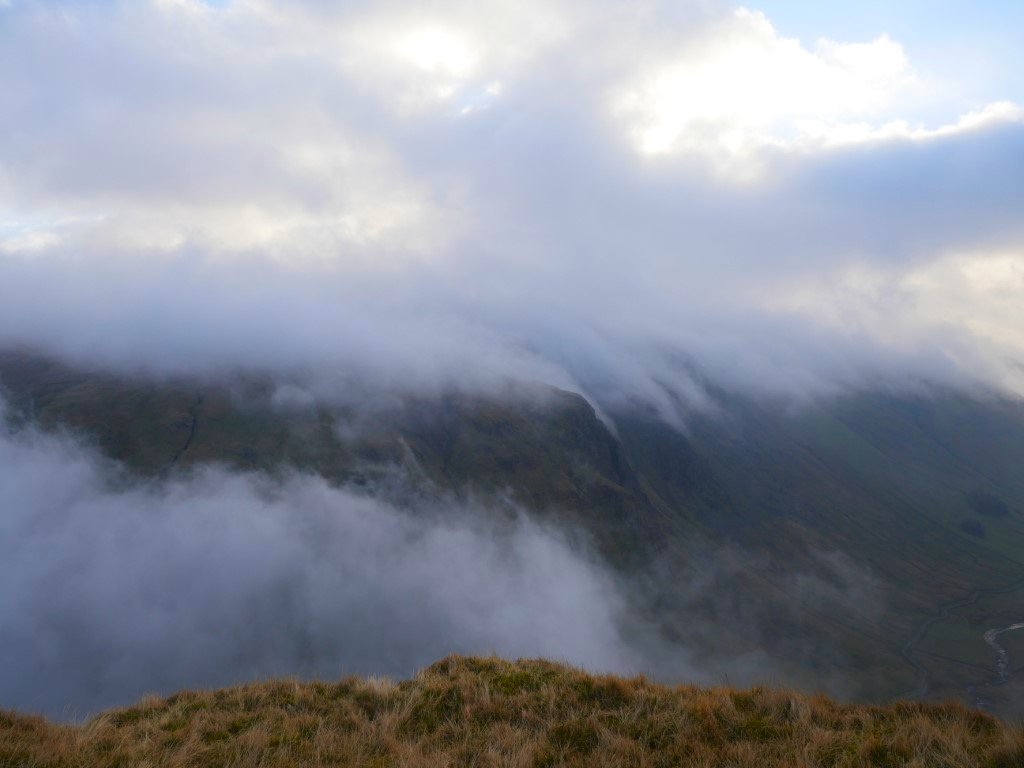
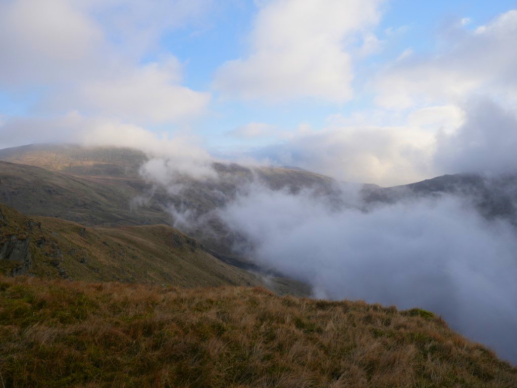
Cloud was tumbling down from Tarn Crag into the valley.
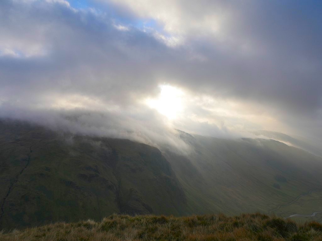
The sun breaking through which was nice as it was still quite cold.
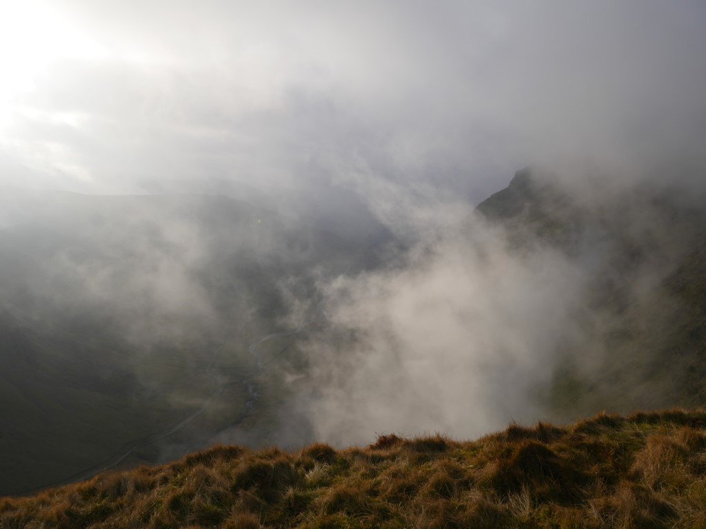
Just as I'd packed away and was setting off the cloud started to boil up over Steel Pike.
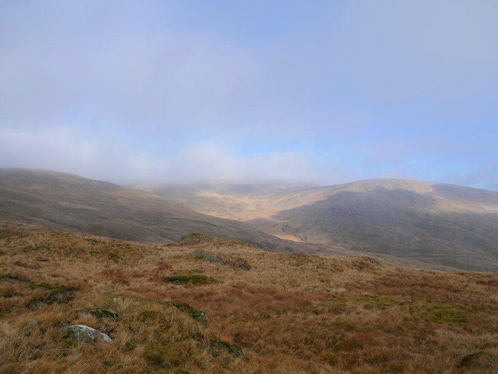
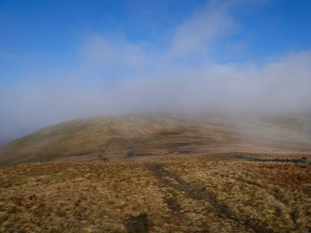
But only a few minutes walking got me in the clear although Harter Fell looks to be covered.
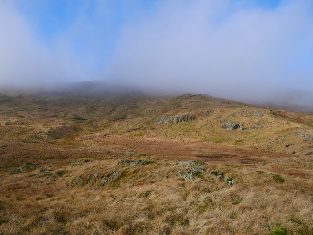
As does Kentmere Pike where I'm heading for next.
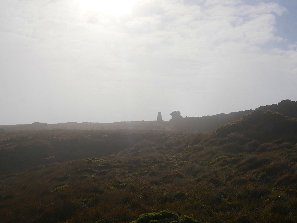
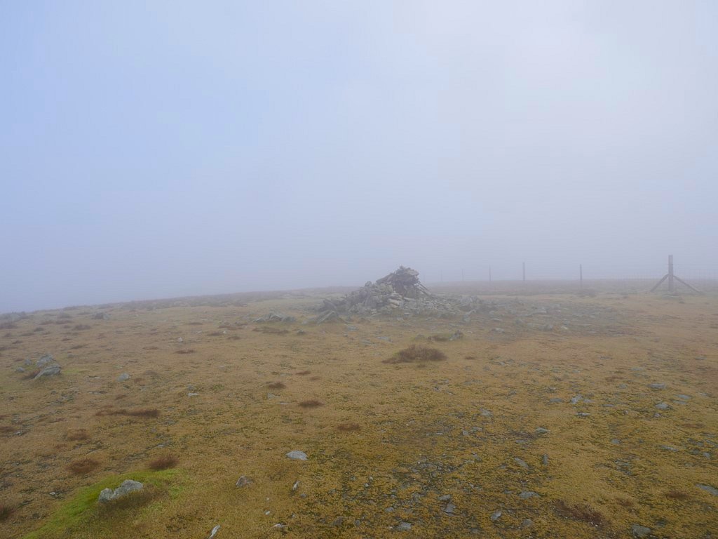
A ghostly trig and wall on Kentmere Pike.
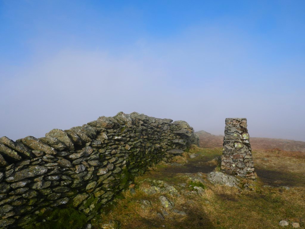
But quite a bit of blue sky by the time I'd reached them.
I hoped the cloud might lift from Harter Fell in the time it would take me to get there.
But alas not.
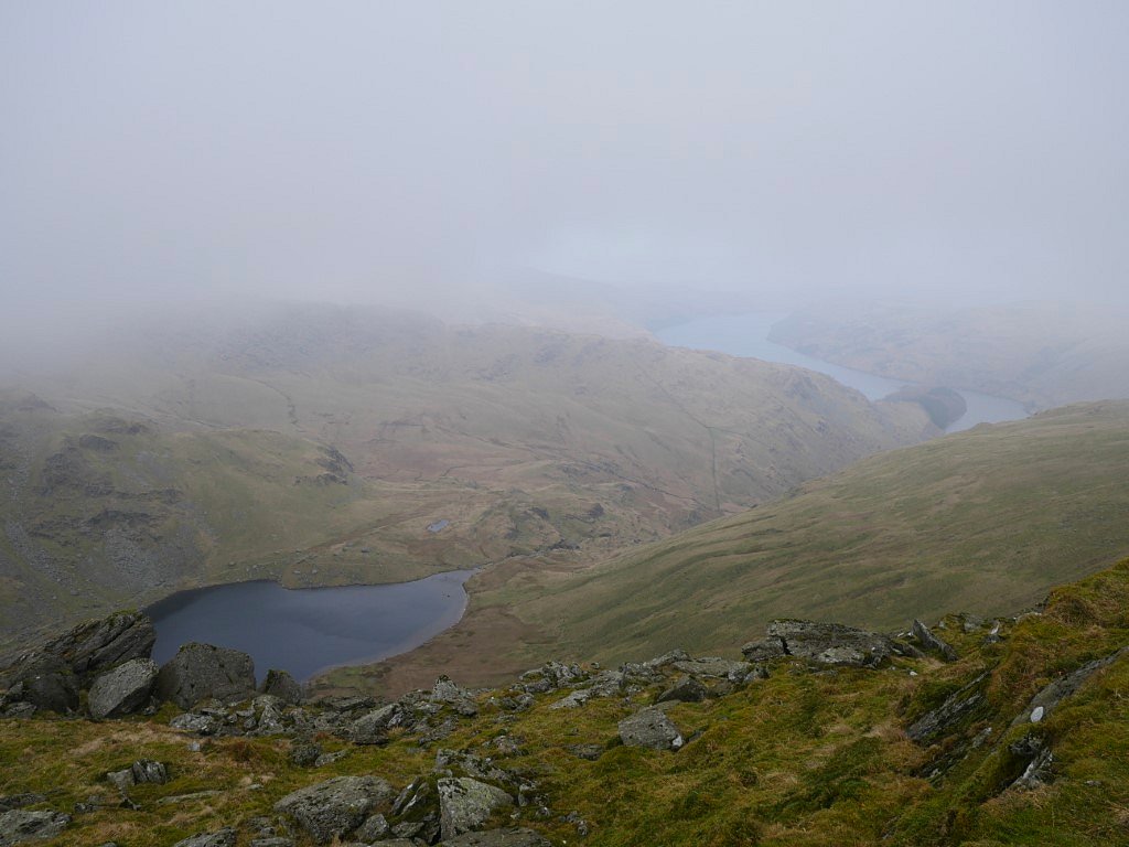
A clear Small Water but a hazy Haweswater.
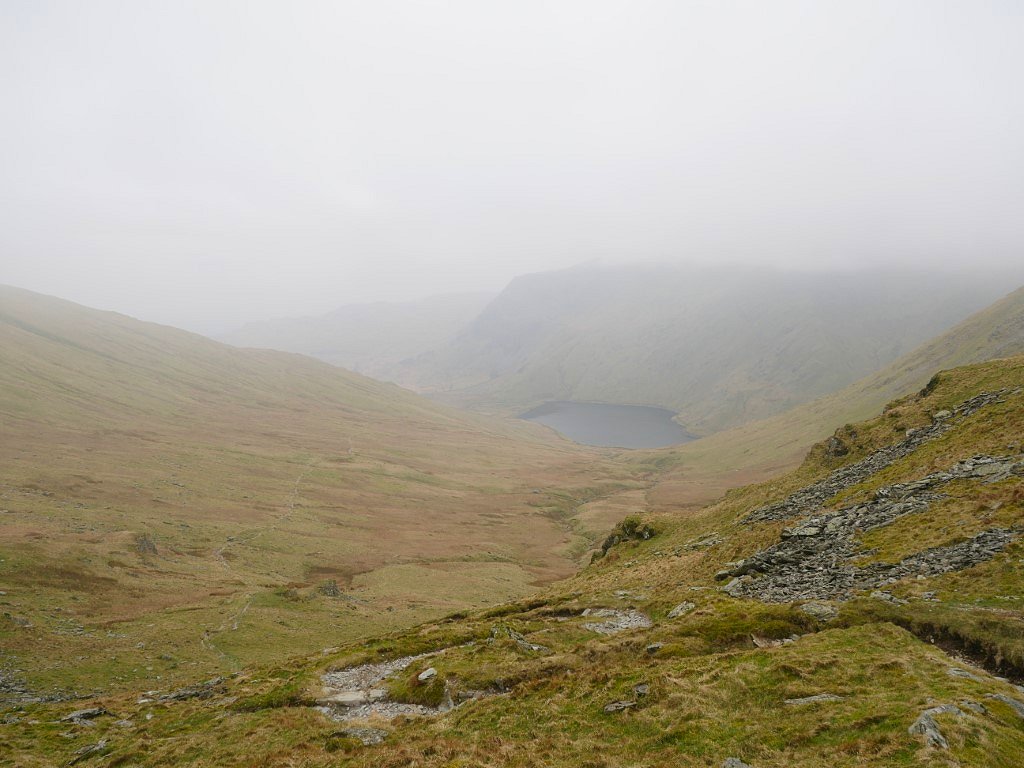
I sat for a while in the Nan Bield shelter hoping the cloud might lift from the Ill Bell ridge which I had planned to return by but as it showed no signs of doing so I decided to take the valley route and would have a look at a couple of things that I've had in mind to visit for a while.
Looking over to Rainsborrow Crag and cove where I camped last year.
The couple of things I wanted to visit were the Ull Stone which is the large boulder on the left and the large cleft of Hart Crag quarry which is on the right.
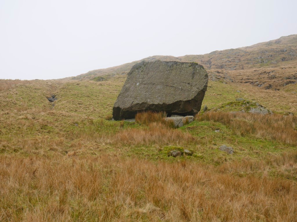
The Ull Stone is a quite impressive glacial erratic. I did have a tentative attempt to climb it but it was covered in a lot of slippery moss which I probably could have got over getting up but coming down might have been an uncontrolled descent straight to A&E.
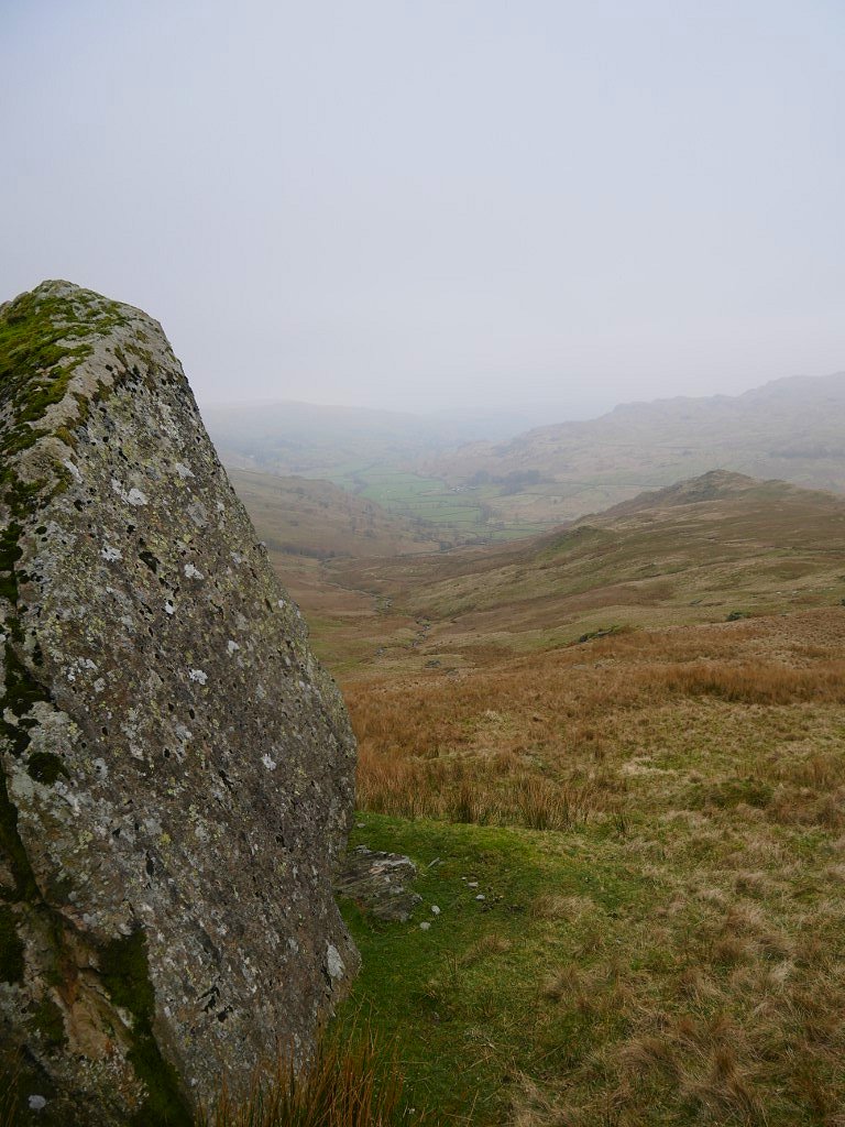
The Kentmere valley from the Ull Stone.
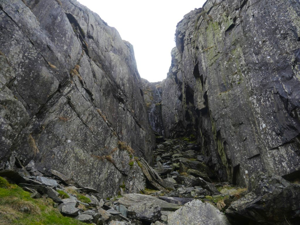
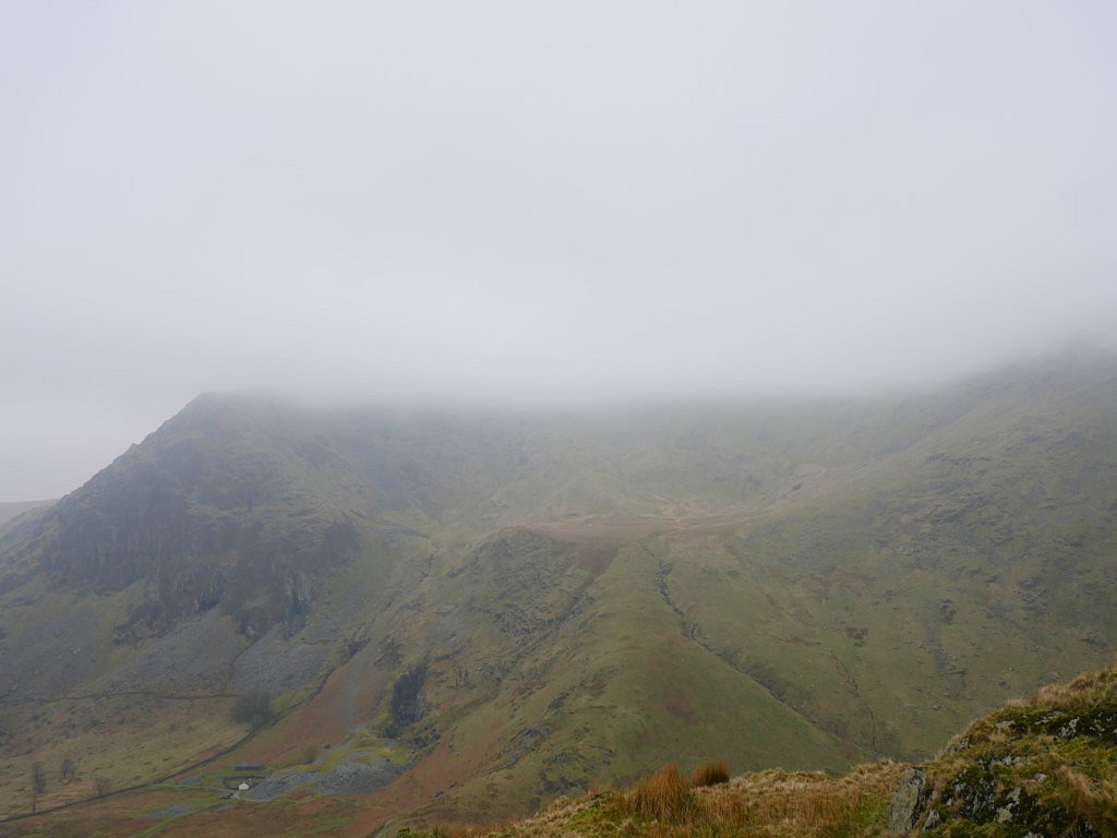
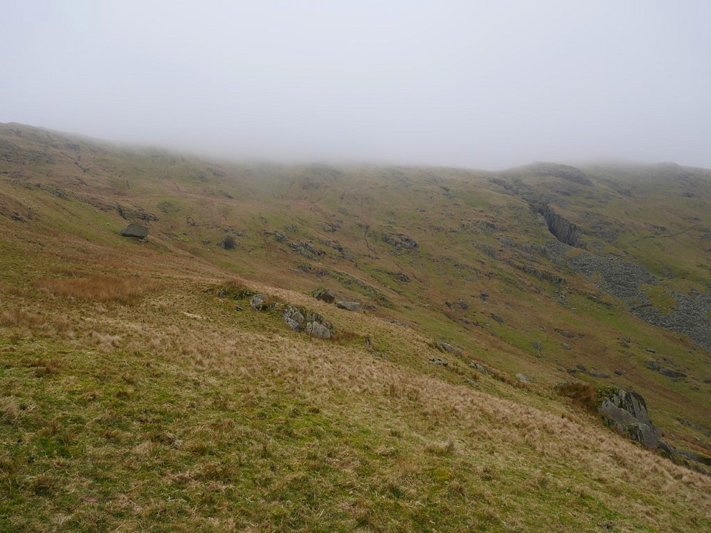
Anyone walking in these parts can't have failed to notice the massive gash in the hillside below the Harter Fell/Kentmere Pike ridge so I've long wanted to have a closer look. This photo doesn't really do justice to how big the quarry is when you are stood in it. A stream comes down from the fell and cascades over the back wall.
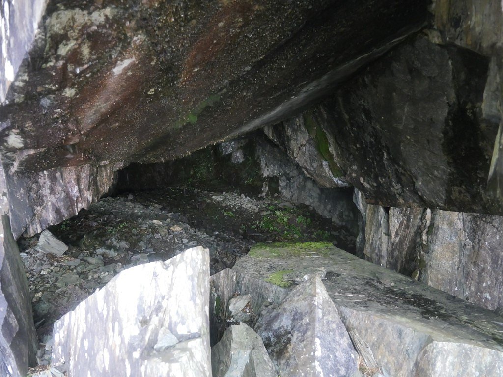
There is a small cavern which you could bivvy in.....
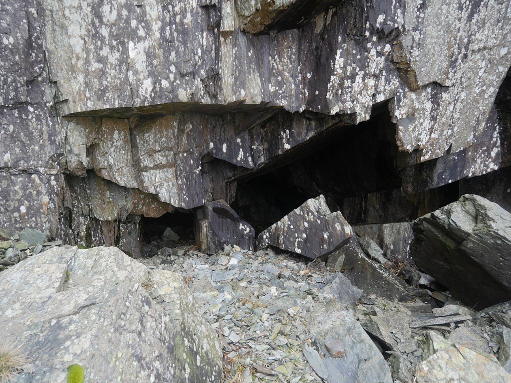
.....but I'm not sure I would get much sleep thinking about that lot hanging over my head.
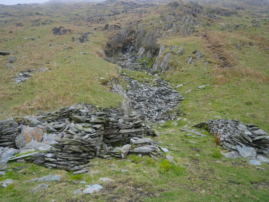
Just along the hillside is another much smaller quarry. From here I headed down hill to meet the path which runs down from the pass to Kentmere.
Only stopping for a brew and a snack at this nice spot by Ullstone Gill.
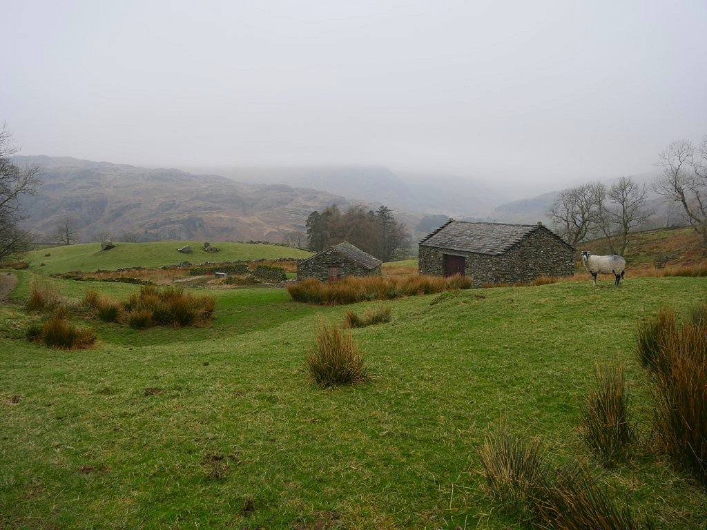
The normally excellent view along upper Kentmere is nowhere to be seen today.
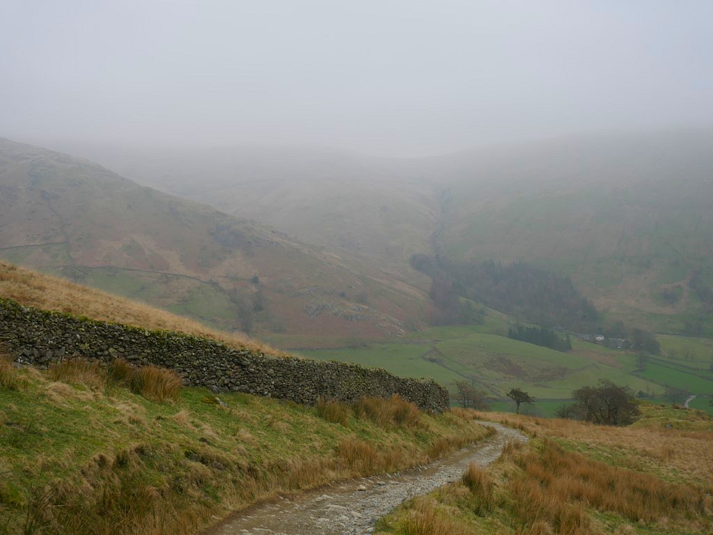
And the hills above Sadgill are obscured today as well. As I rounded the corner it started to rain which was excellent timing as I was back at my car in five minutes.
Previous walk -- Around Green Quarter Fell - Next walk - Waberthwaite Fell and a night on Yoadcastle