WWW.KARLSWALKS.CO.UK
PICTURES AND TRIP REPORTS FROM MY WALKS IN THE ENGLISH LAKE DISTRICT
|
|
|
|
At the end of March the whole country changed. Travelling for pleasure was no longer allowed and now also I'm temporarily without a job but fortunate in having the open moor only a ten to fifteen minute walk from my door so I set about discovering new paths and re discovering paths I hadn't walked for years.

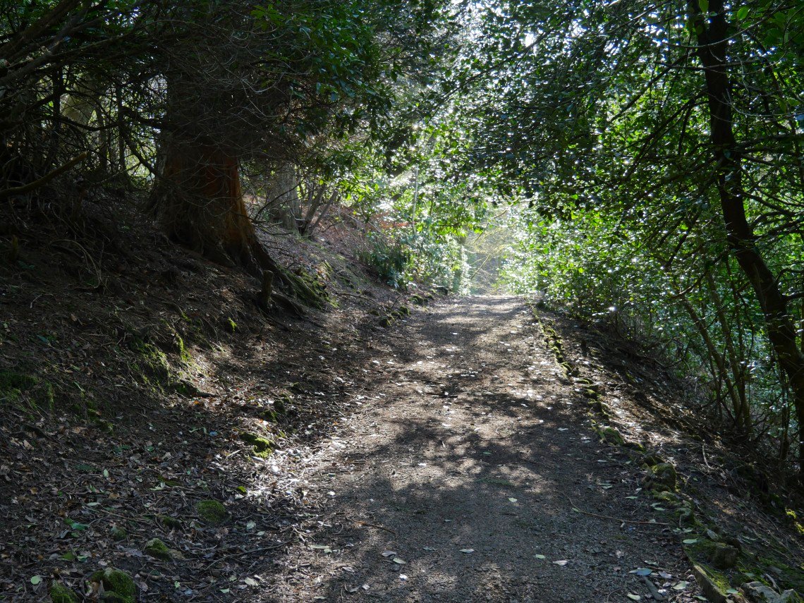
My walks to the open moor take me through the park.
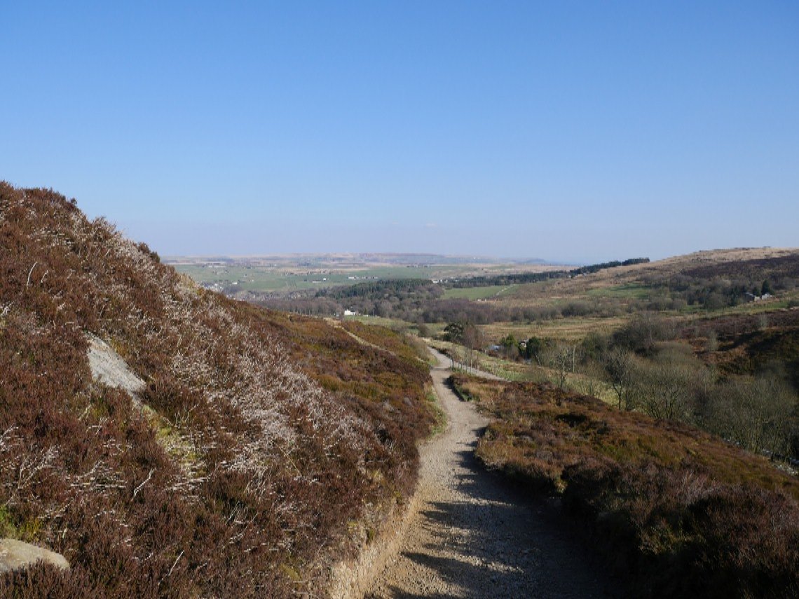
After passing the white farmhouse I climb this path which when the kids and I used to come up here on our bikes we called the killer hill. (It's a lot steeper than it looks in this picture ).
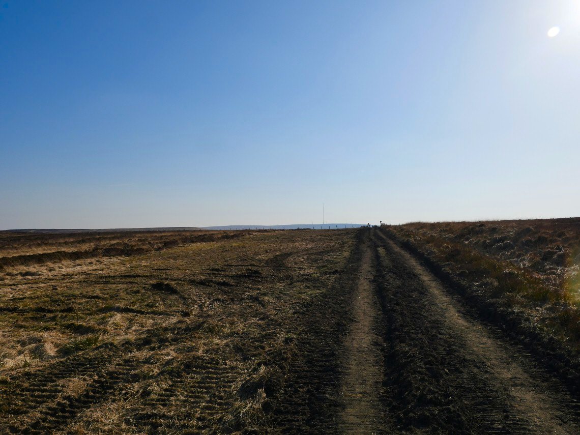
On to the open moor with Winter Hill and it's TV masts in the distance.
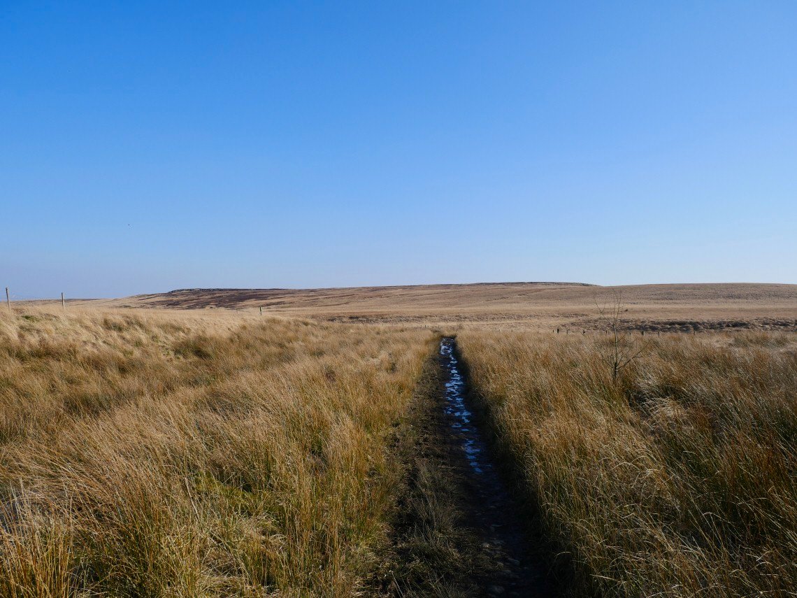
The moor is crossed by several paths with this the main one, it's part of the Witton weavers way which runs roughly north to south over Turton and Darwen moor. In the distance is the ridge of Hanging Stone and Big Grey Stones.
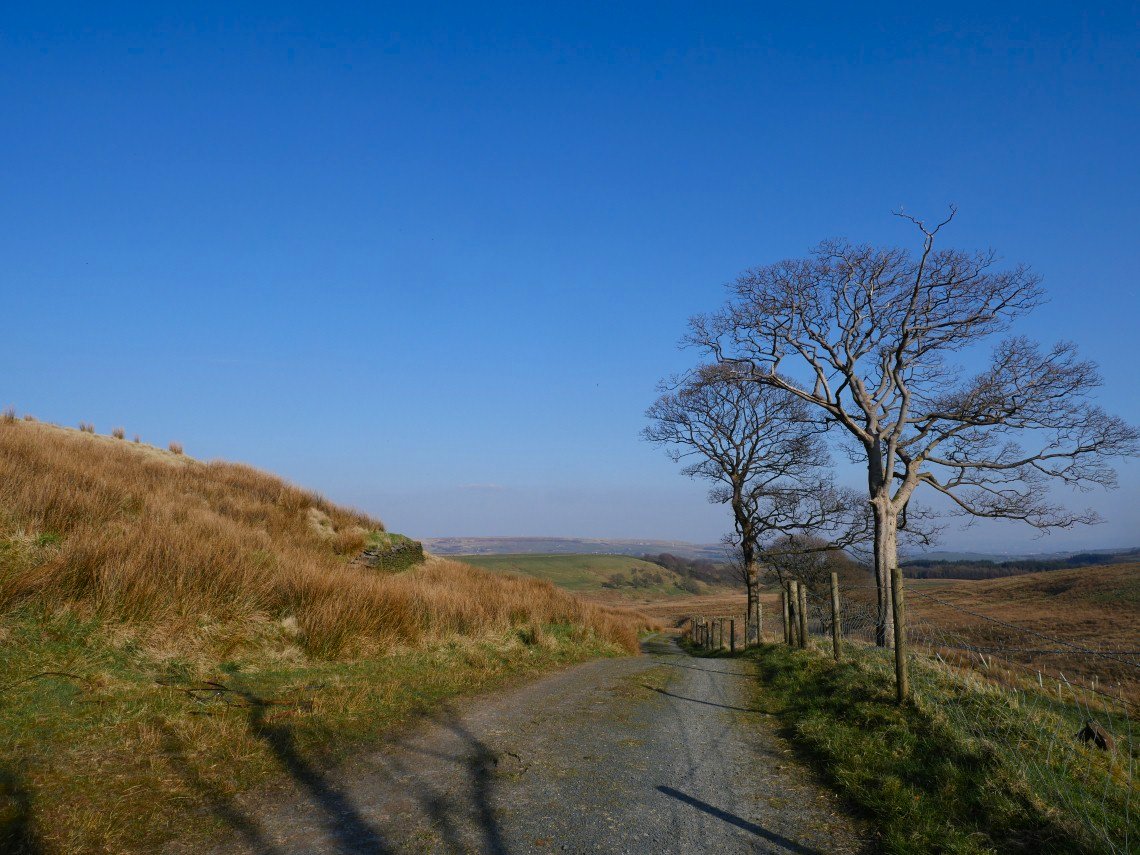
The track descends to farmland.
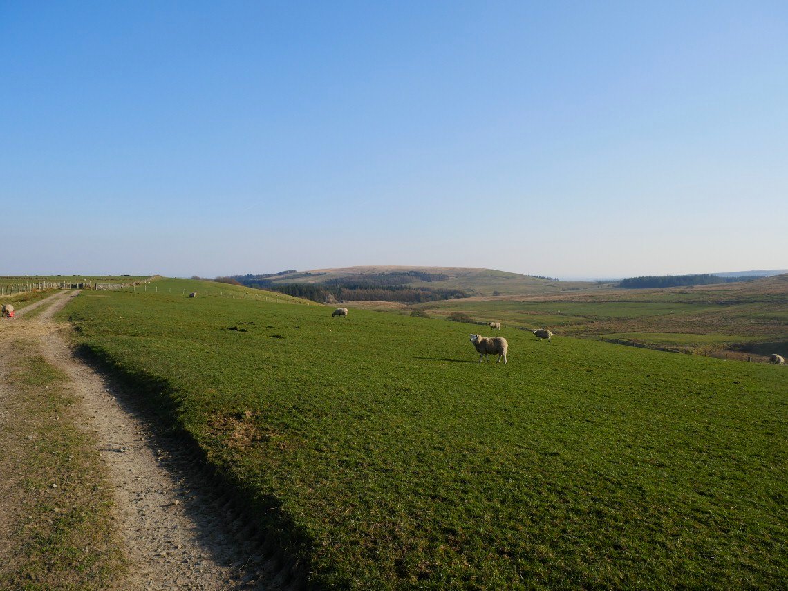
The high ground in the distance is Turton Heights.
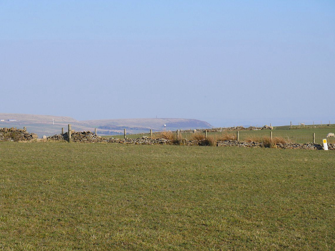
I leave the main path and turn for home climbing back over the hill. Peel Tower above Ramsbottom is just visible.
.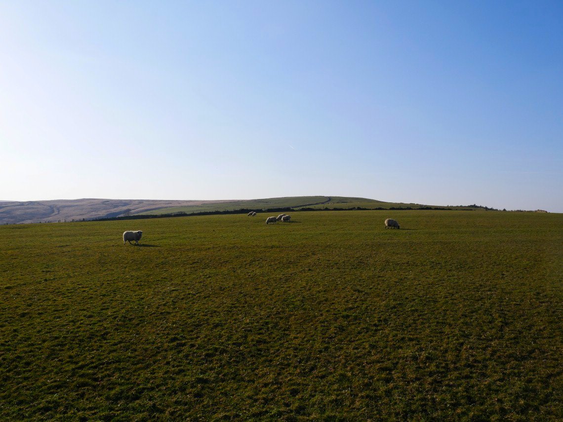
Looking back the way I have come.
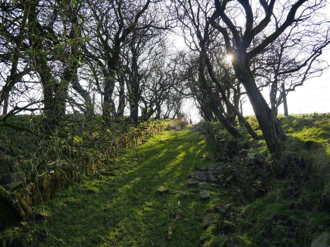
My way home takes in this old walled lane. Not a bad first outing and still plenty of places on the map to explore yet.
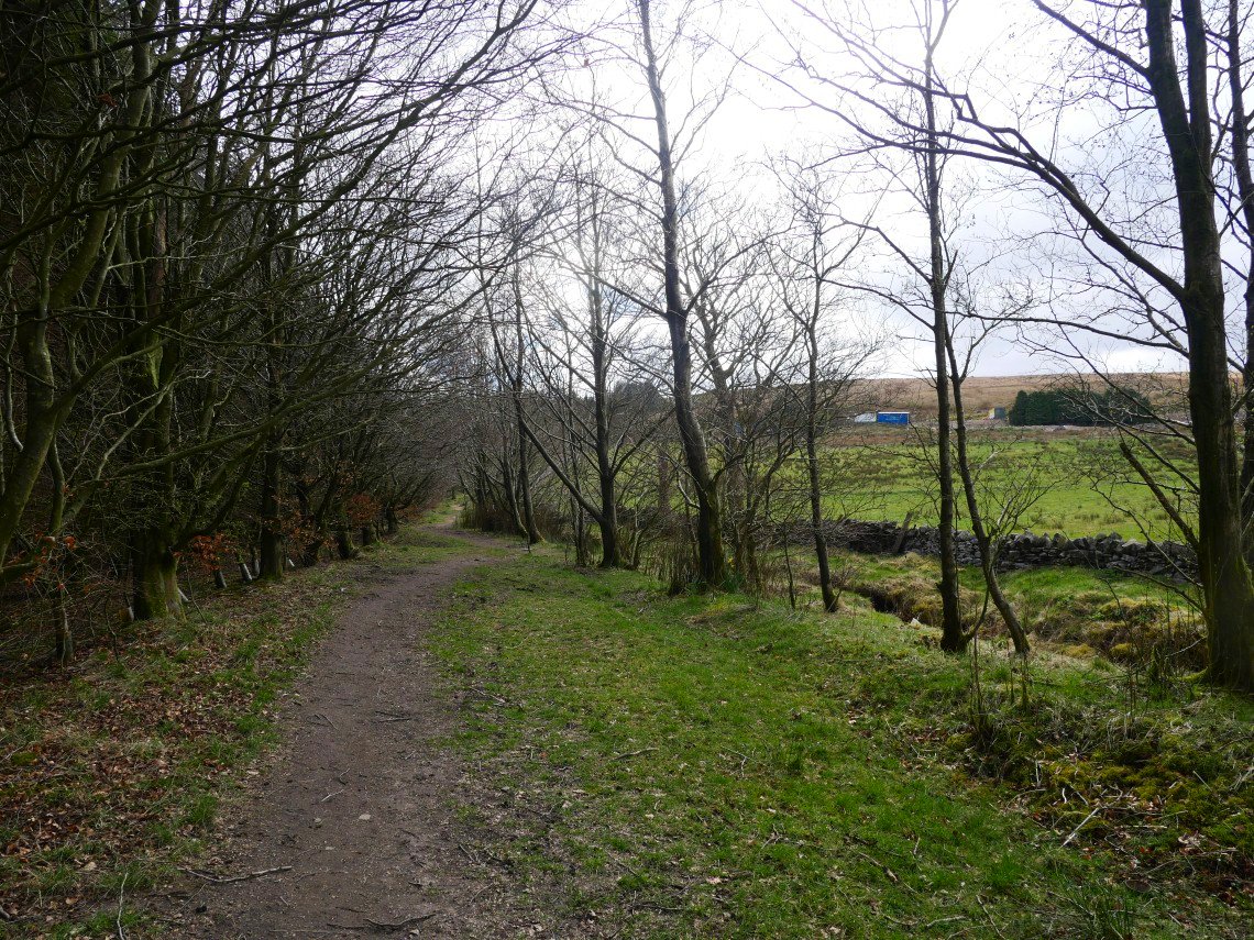
I've varied my route up to the moor today as my previous route went through the farmyard of Higher House Farm and although this is a right of way I didn't want to add to the farmers worries of having people opening and shutting his gates. ( And as a bonus this way avoids the killer hill ).
This path through the tree looks a lot different just 4 weeks later as you'll see
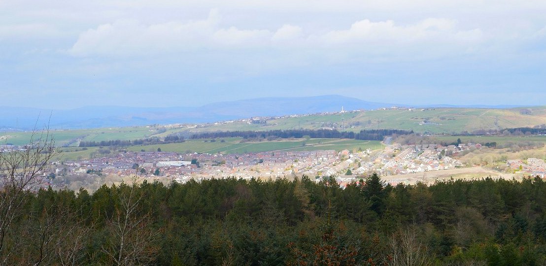
Pendle Hill in the distance.
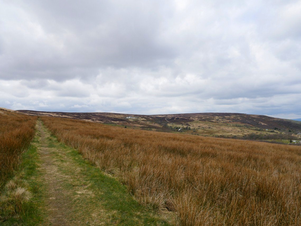
My new path crosses this rough meadow, killer hill can be seen as a light coloured line on the hillside.
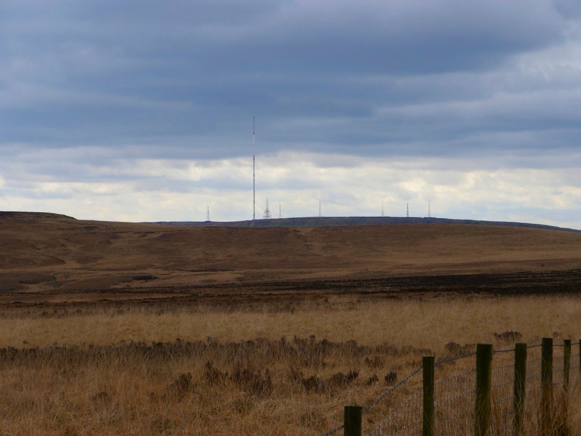
On to the open moor and Winter Hill is a lot clearer in today's cooler air.
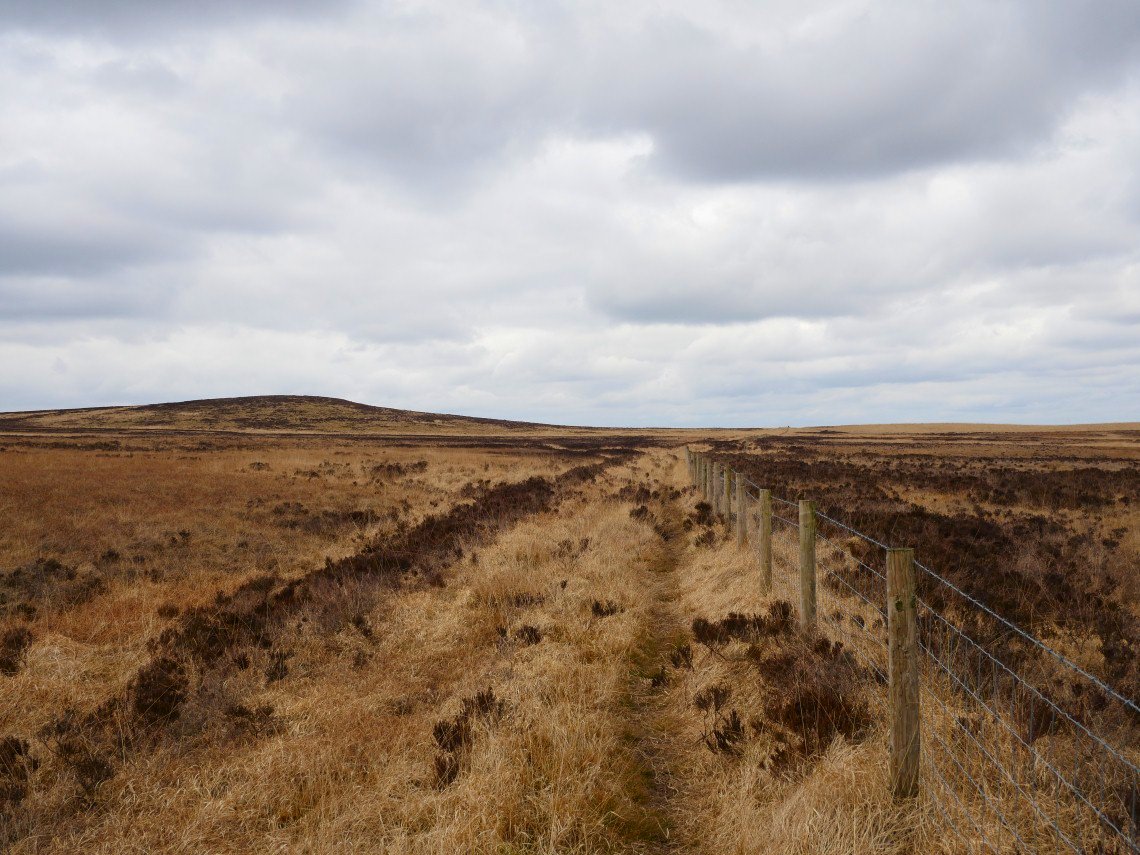
This track will become one of my regular routes as it crosses the moor from east to west.
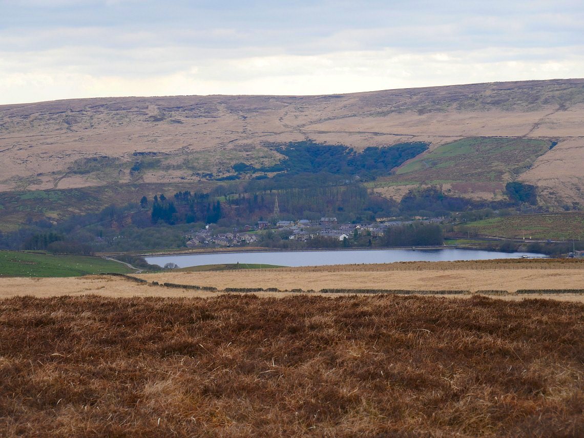
I'm heading for Hanging Stone today and as I reach the ridge Belmont Reservoir and village appear below.
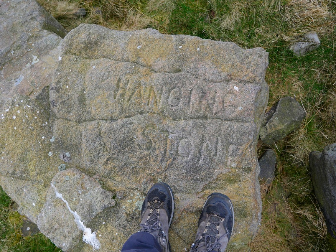
I think I'm at the right place. The stone was apparently hurled across the valley from Winter Hill by an angry giant and you can still see the indentations made by his fingers in the rock.
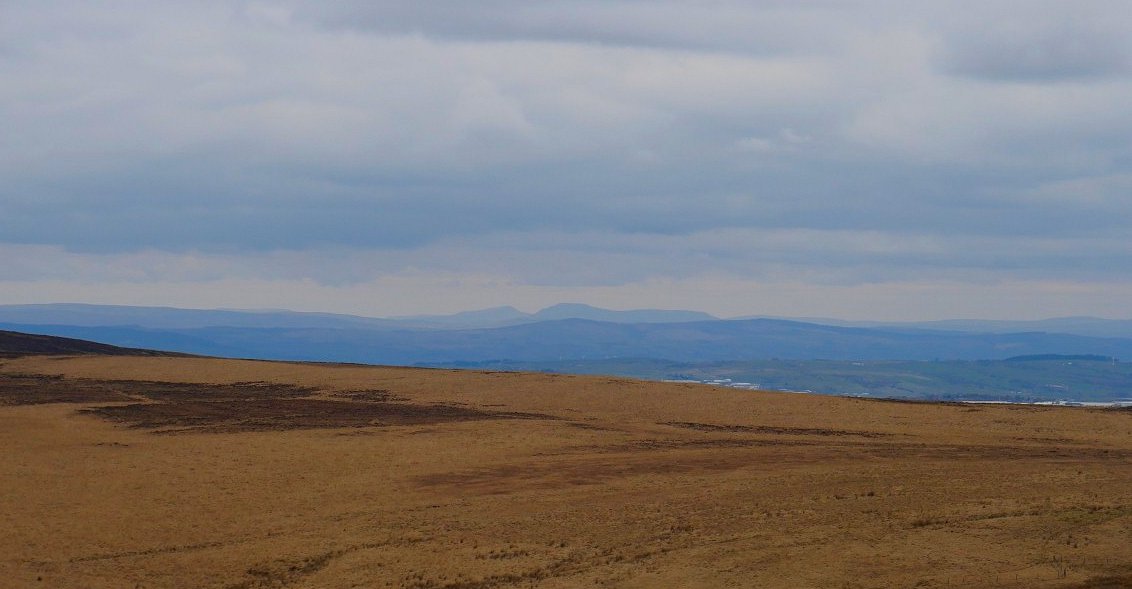
Ingleborough ( on the right ) and Whernside can be seen today.
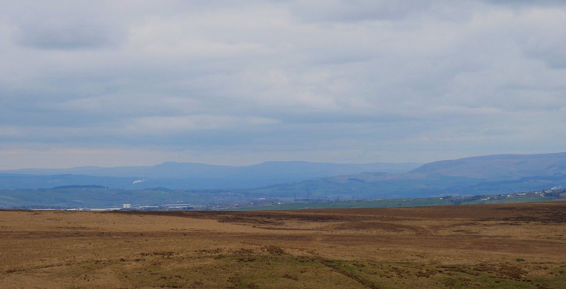
And further to the south are Pen -y-Ghent and Fountains Fell.
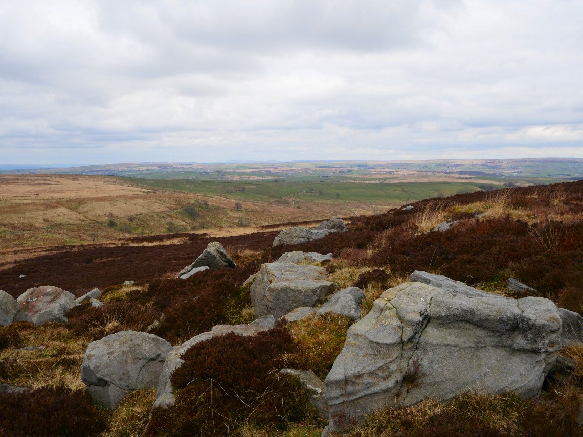
Big Grey Stones are as named on the map.
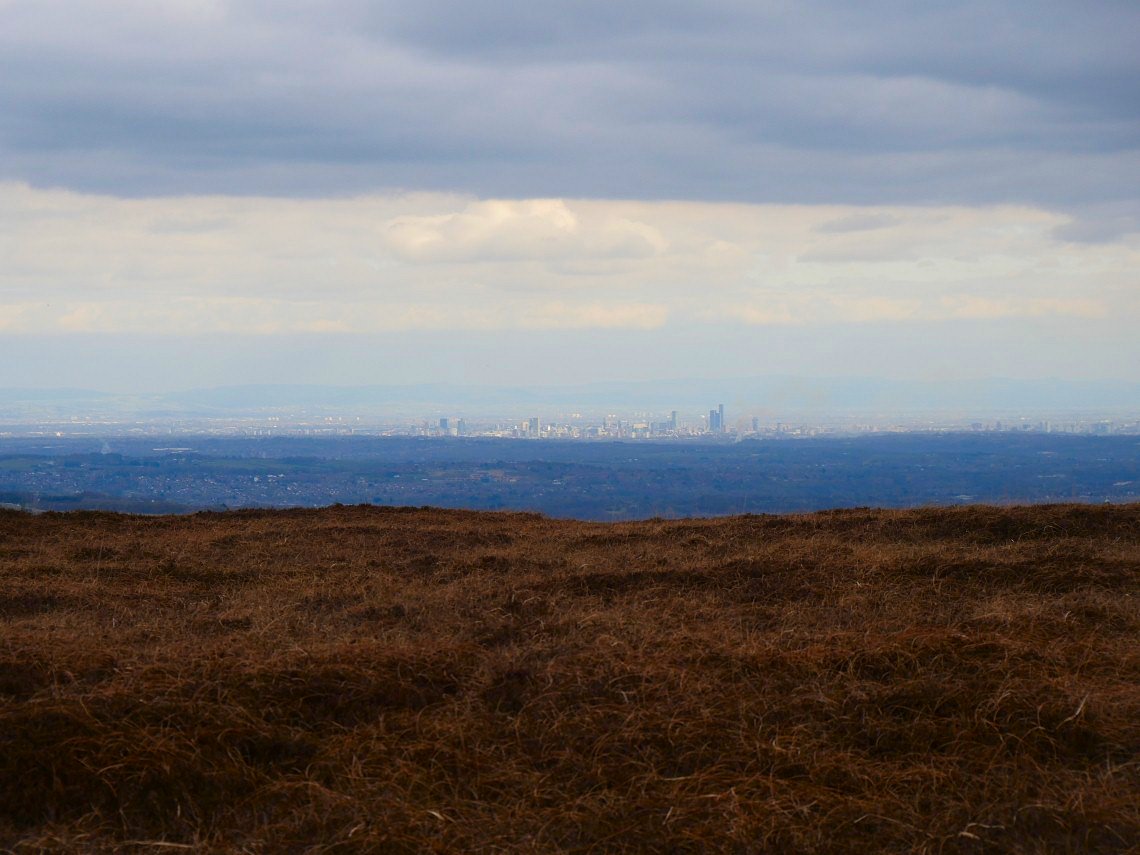
Manchester city centre to the south.
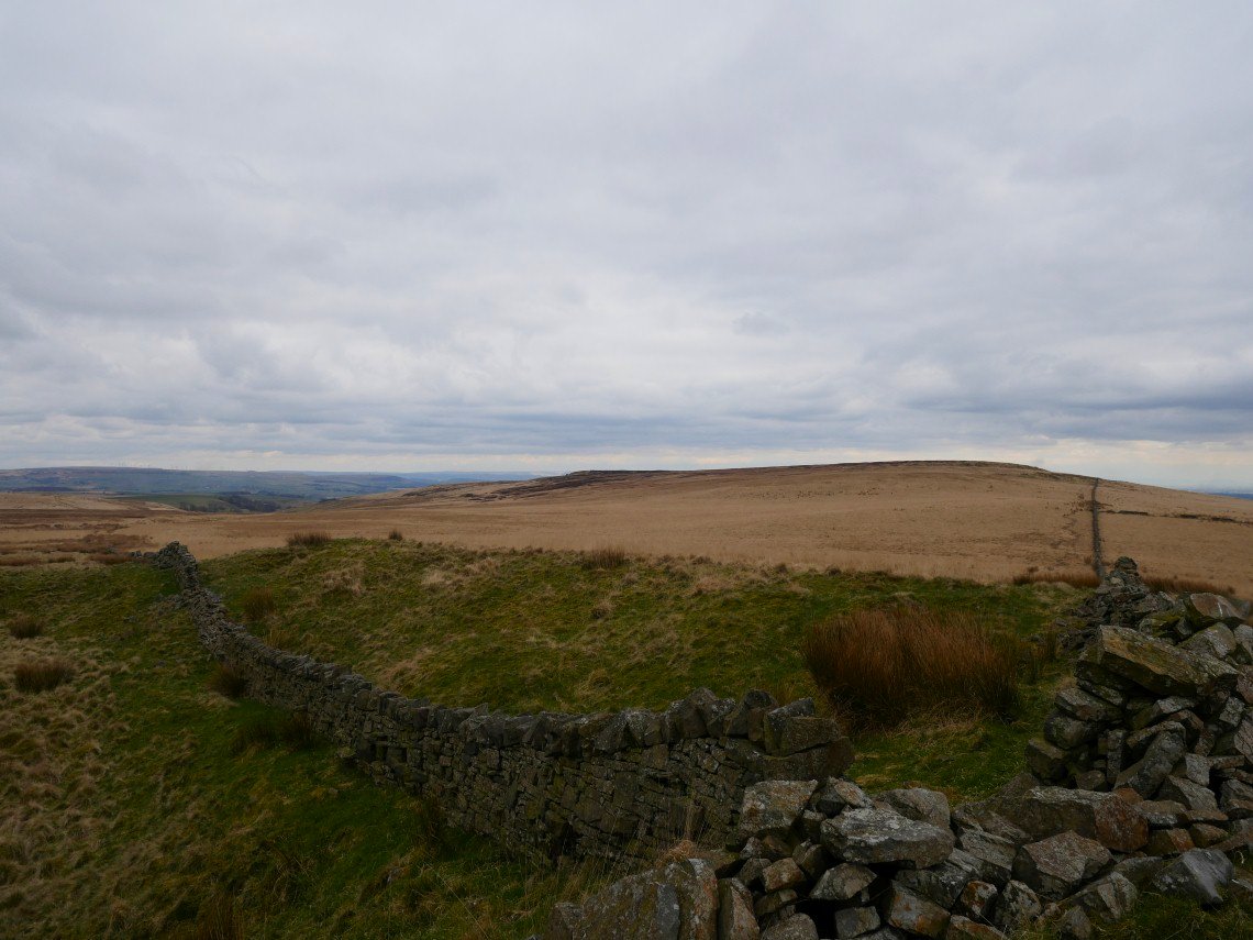
From Big Grey Stones I retraced my steps back past Hanging Stone and followed the wall back to the path running east west across the moor.
.
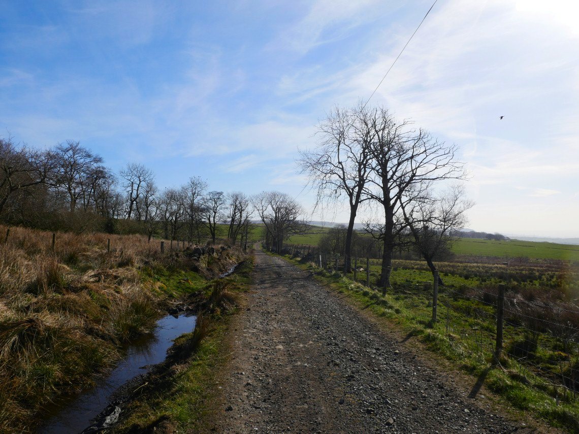
A change from the open moor today as I walked around two of the reservoirs to the south of me . I set off early as they are very popular with dog walkers and runners A little bit of road walking got me to Edge Lane a rough track to the reservoirs..
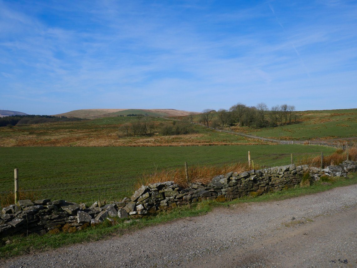
Looking back along Edge Lane to the high ground walked previously.
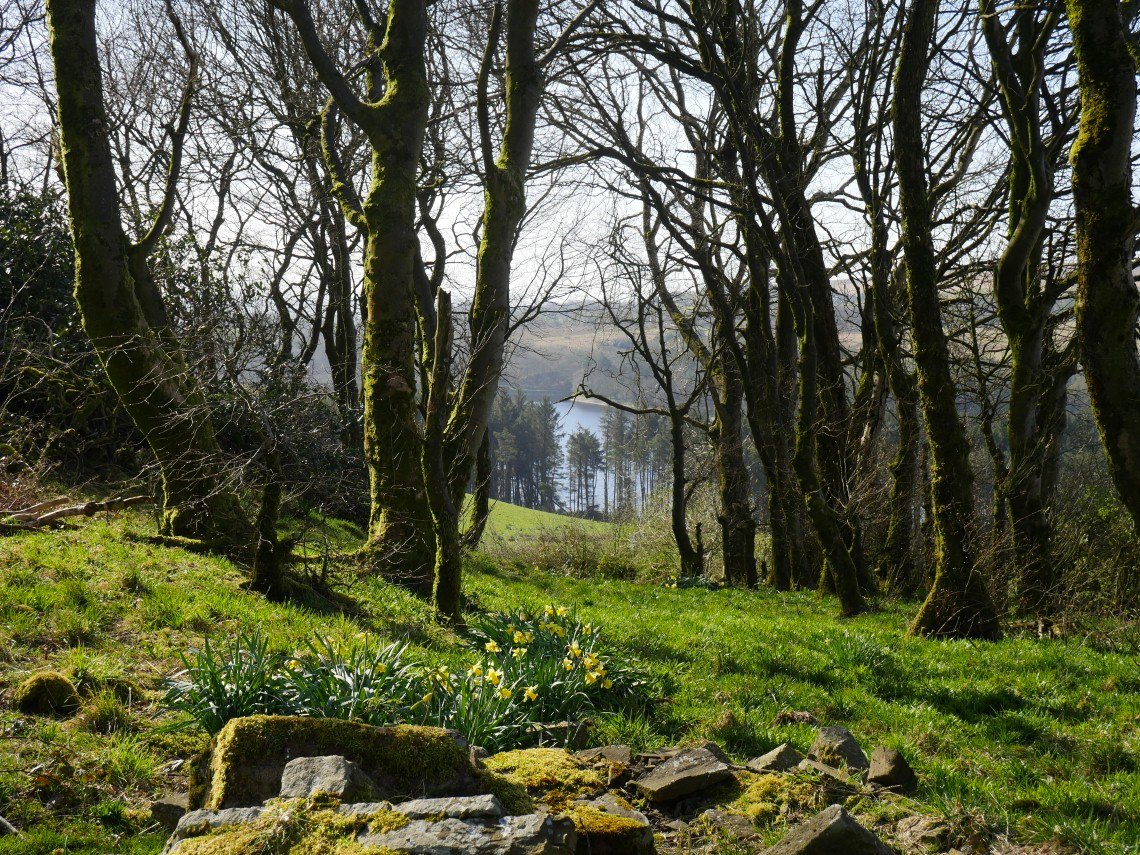
Entwistle reservoir glimpsed through the trees.
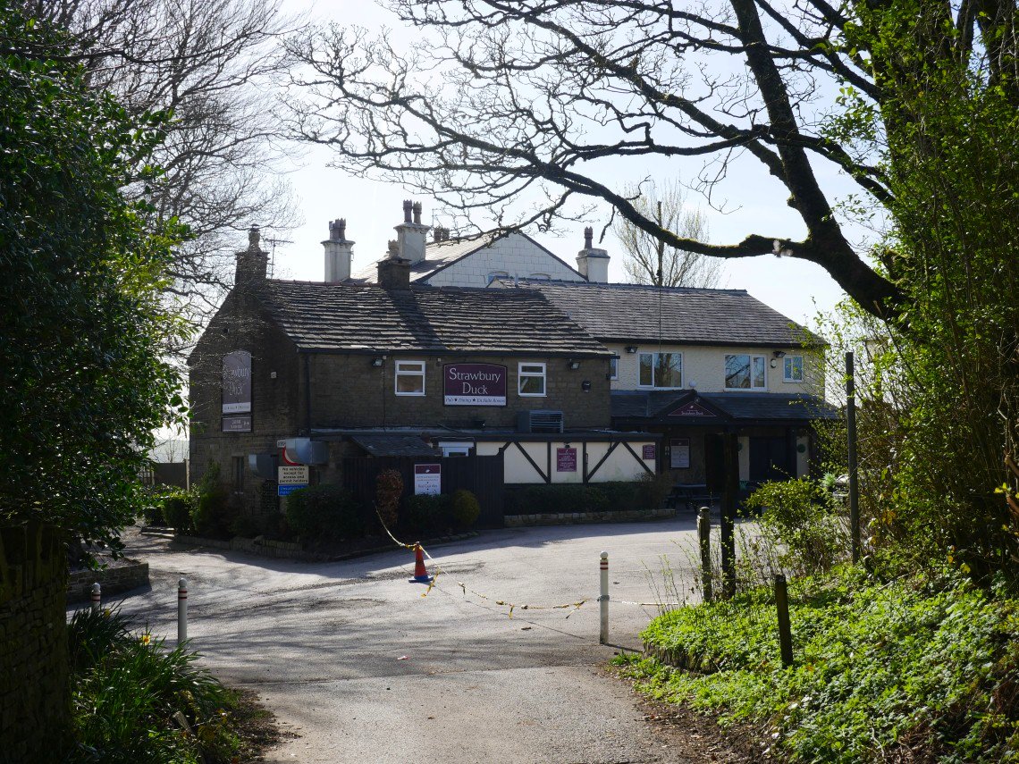
Edge Lane takes you to the hamlet of Entwistle who's pub the Strawbury Duck looks sad closed for the duration..
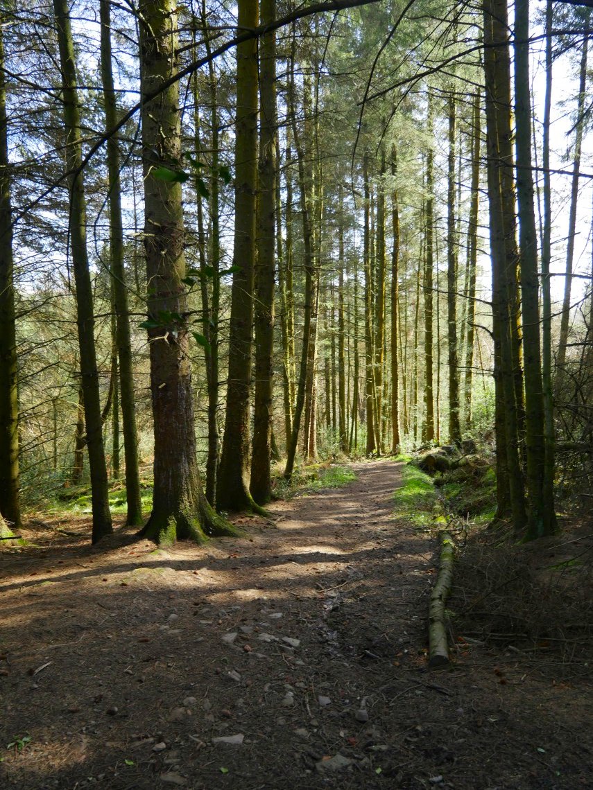
A pleasant path winds down through woodland to Wayoh Reservoir.
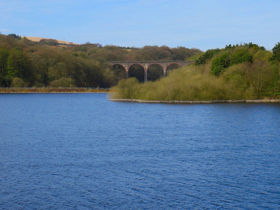
Armsgrove viaduct across Wayoh. This carries the Bolton to Blackburn railway.
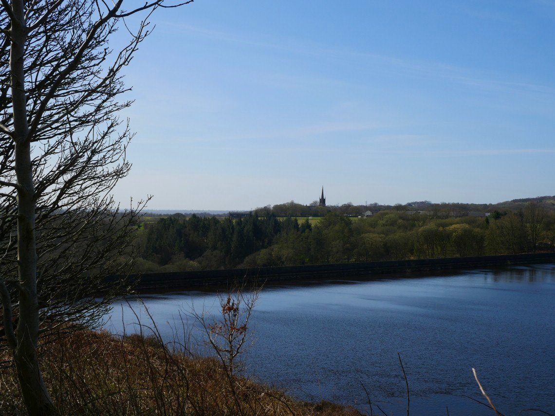
Looking across the dam to the village of Chapeltown.
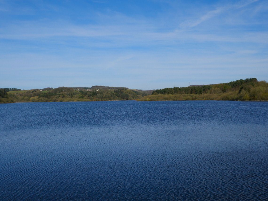
Entwistle is on the hill above Wayoh.
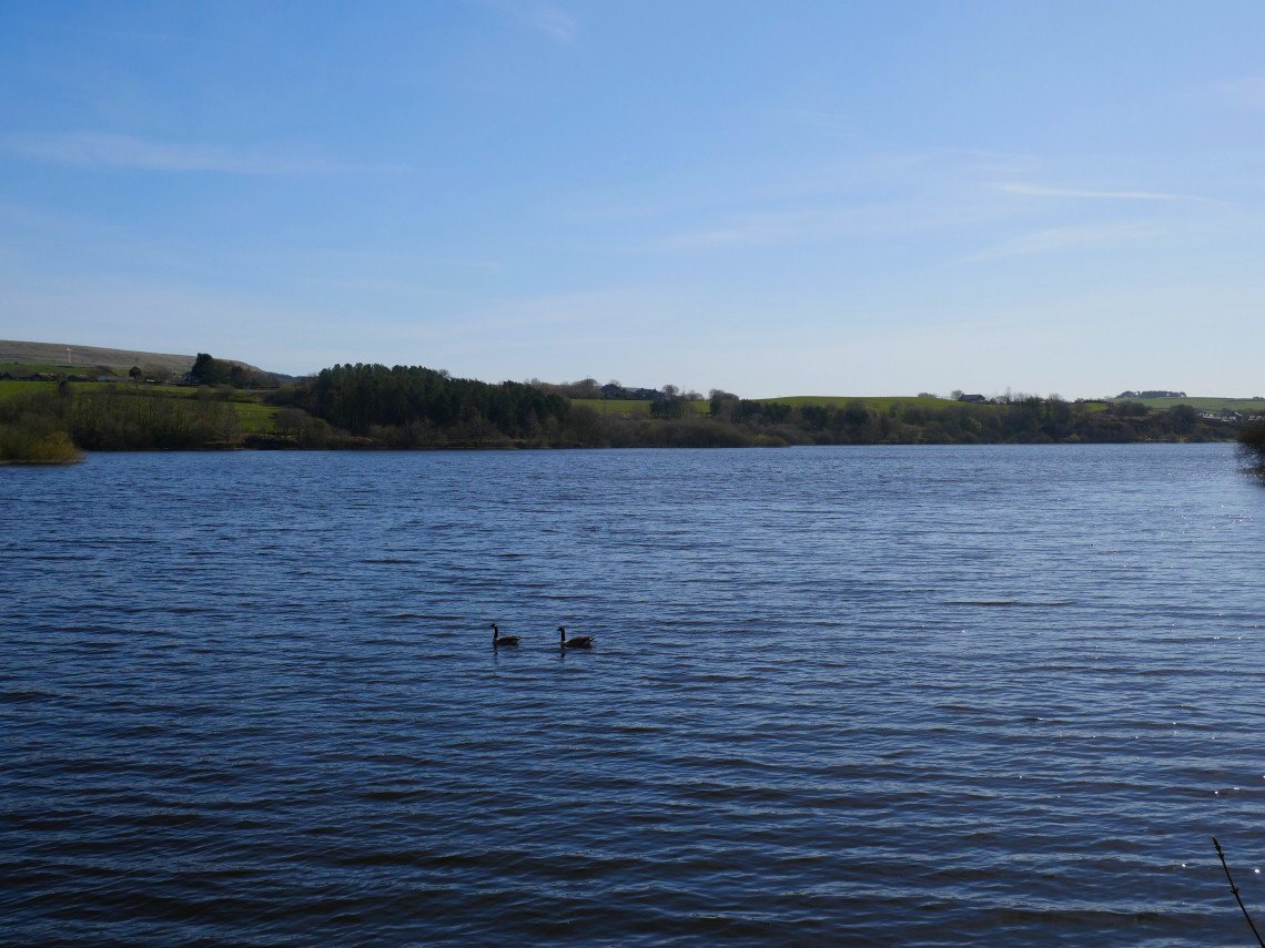
Looking back down to the dam.
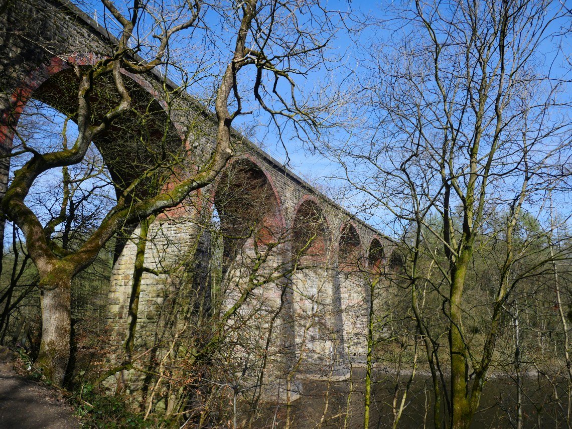
The path connecting the two reservoirs goes under the viaduct.
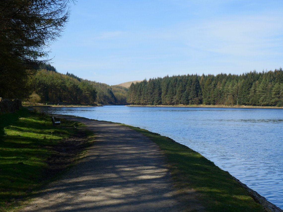
Walking along Entwistle Reservoir.
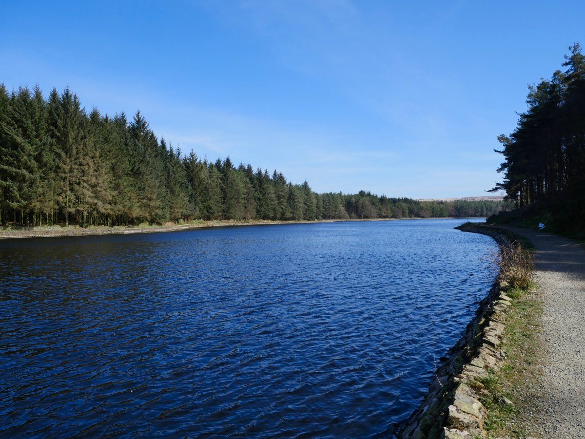
And looking back.
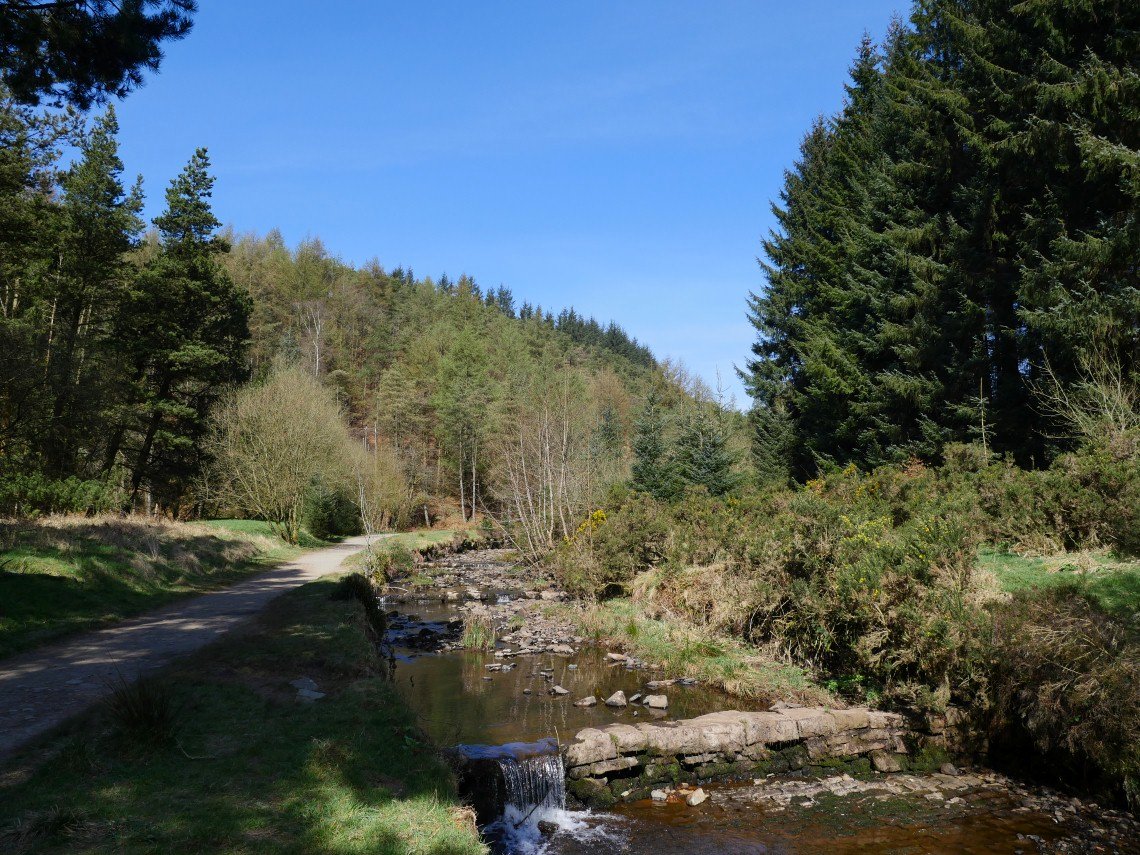
The inflow of Entwistle is Cadshaw Brook which comes down this lovely little dale of Yarnsdale.
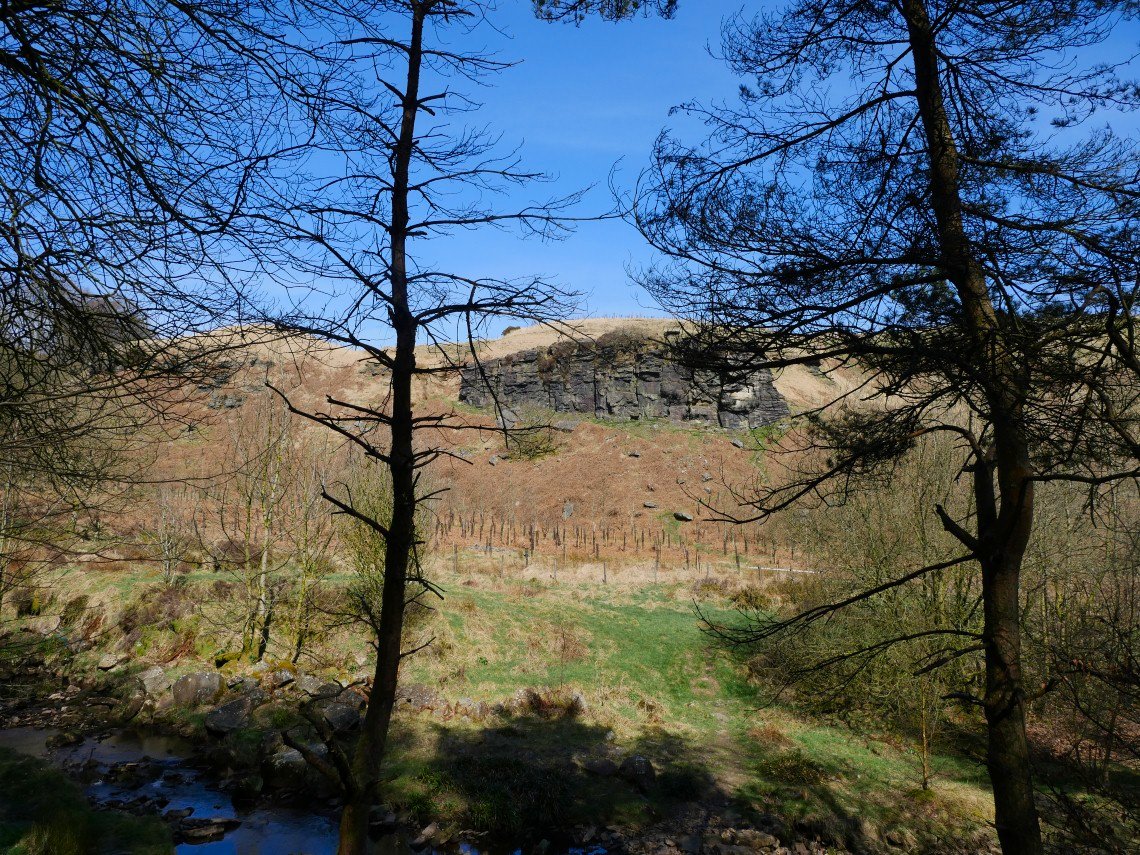
This outcrop has the unusual name of Fairy Battery and is a popular climbing crag.
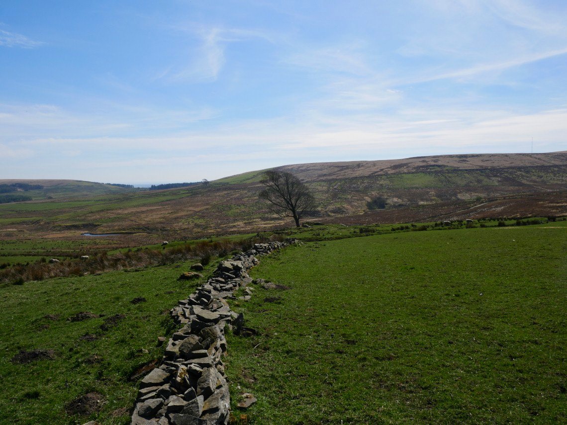
Back to the moor today but exploring the paths more to the south near to the A666. I'm heading past the first tree to the tree you can see in the distance.
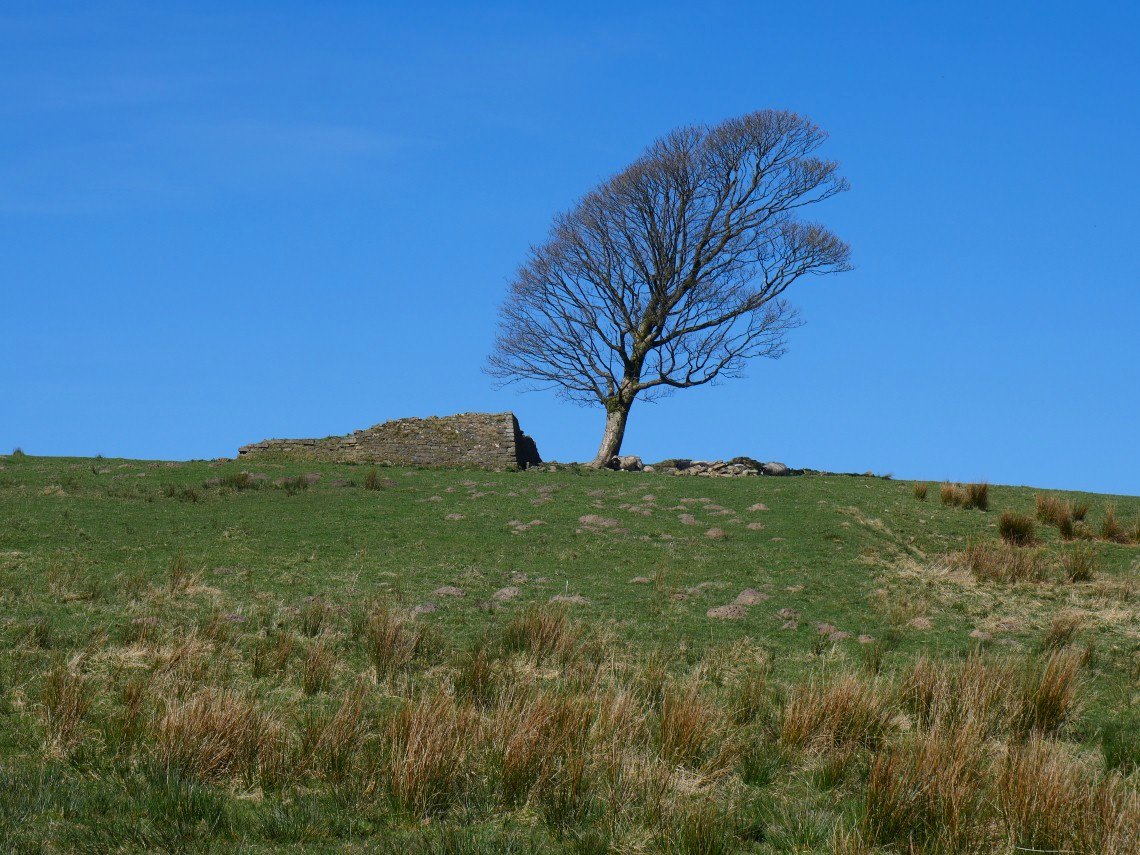
Lots of these ruined farms on these moors.
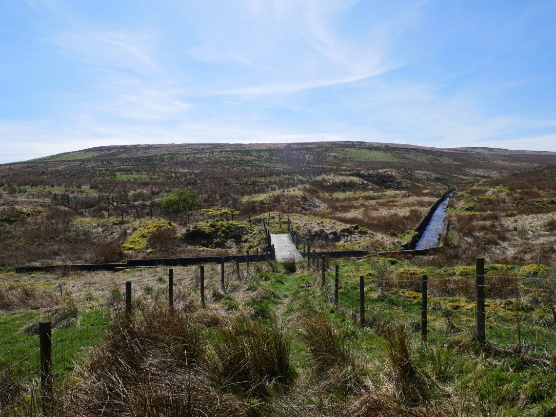
This rickety wooden bridge crosses the stream which here has been converted into a leat.
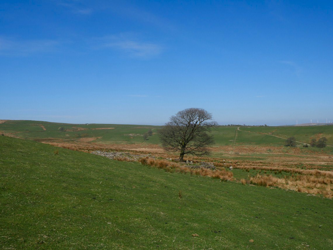
Passing the second tree. I came over the hill by the line of lighter coloured grass you can see on the left.
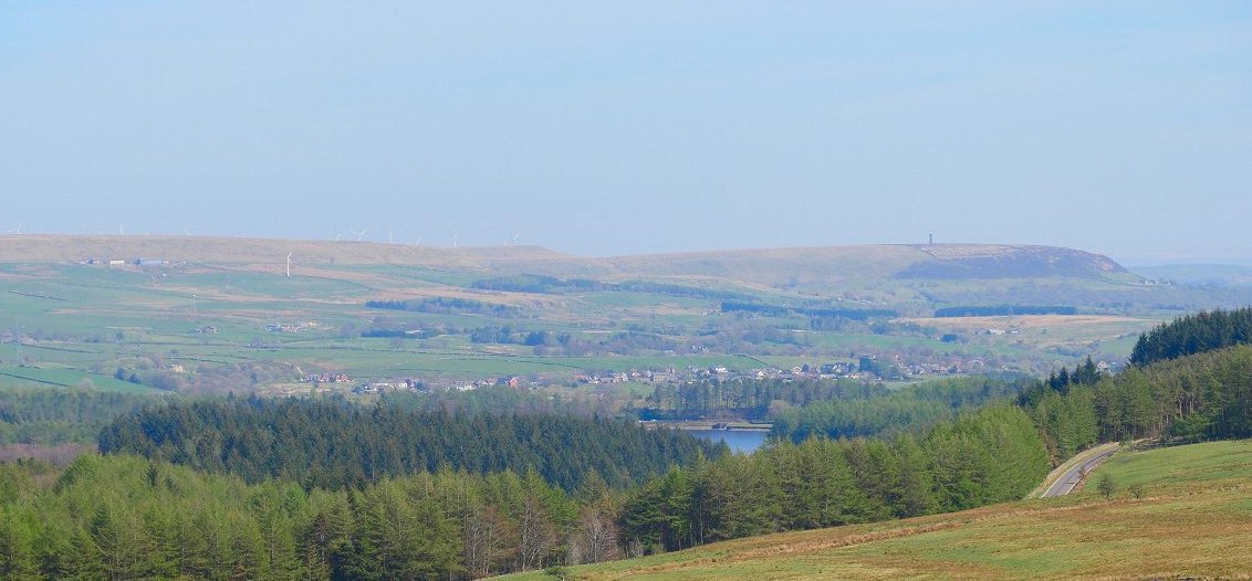
Peel Tower and a little bit of Entwistle Res and dam.
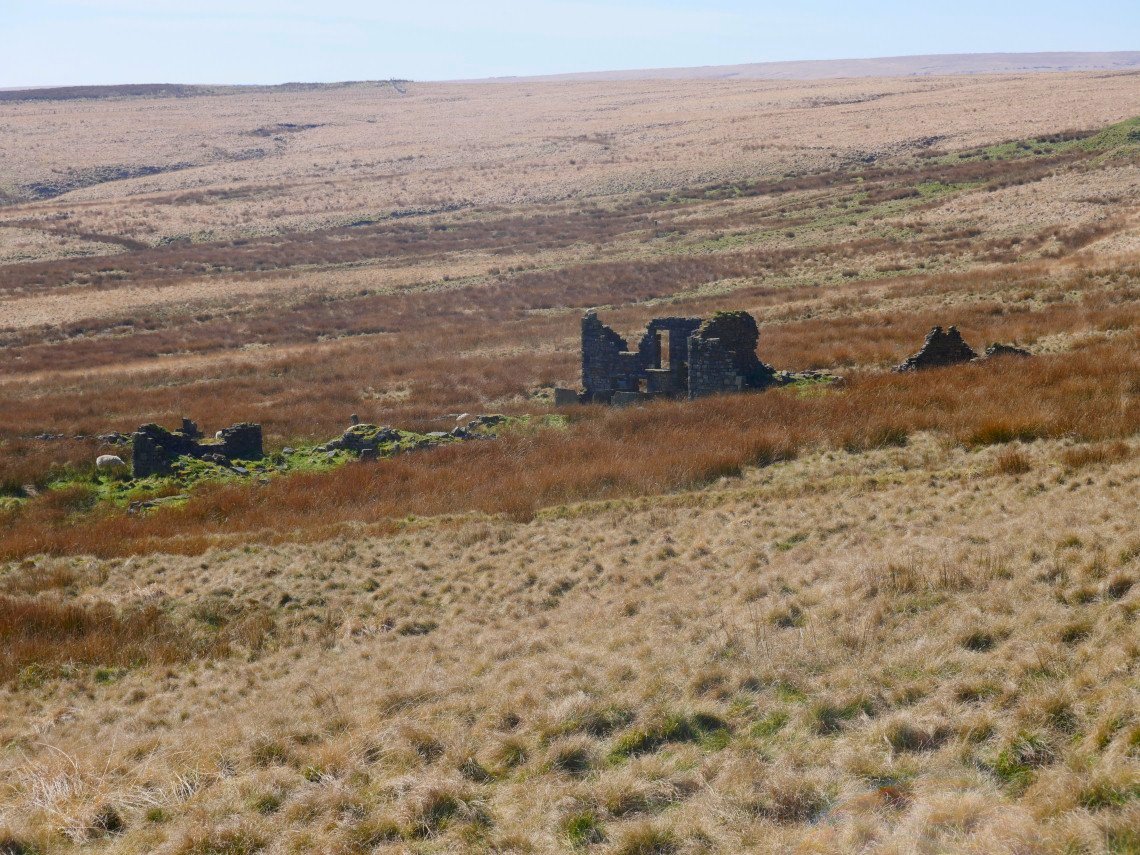
Another ruined farm at Rabbit Warren
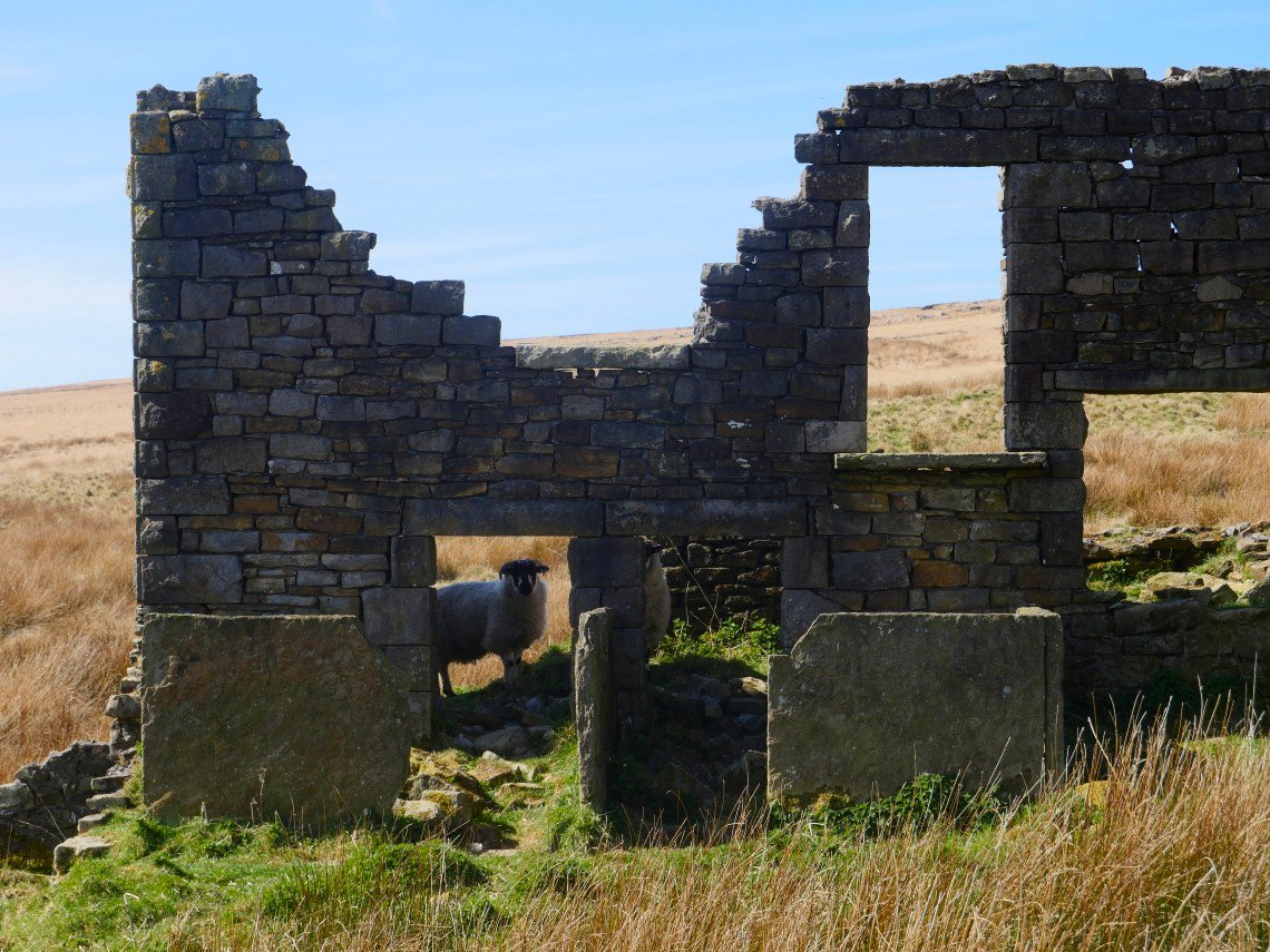
Not uninhabited though.
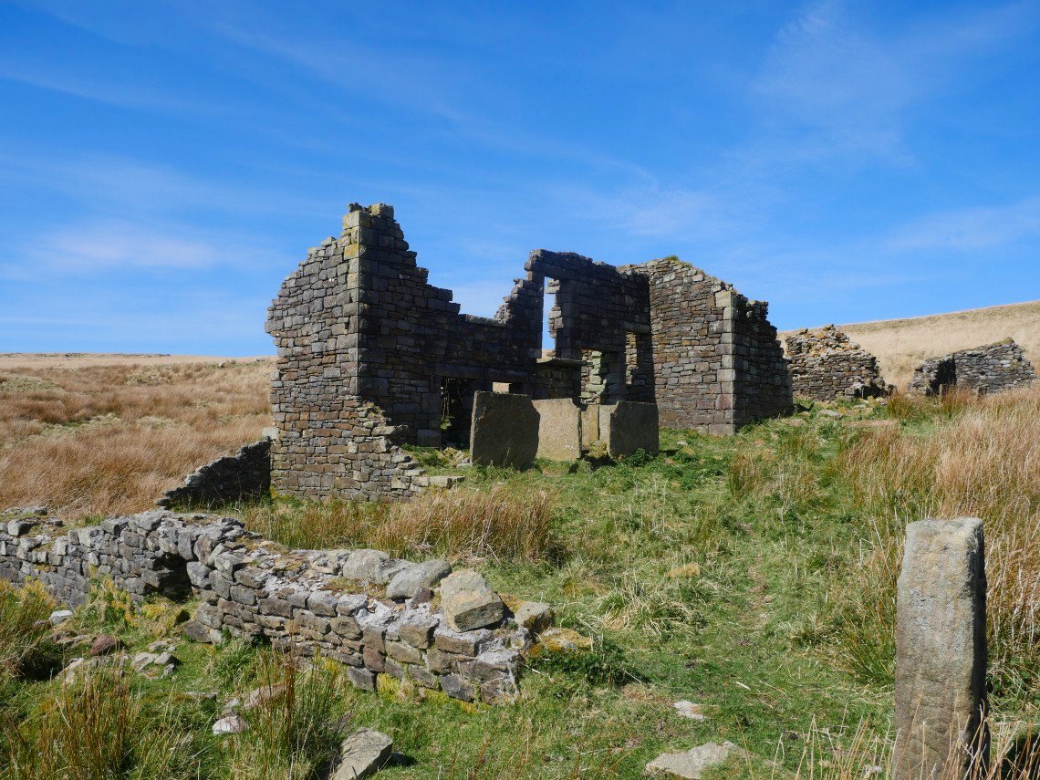
It's unusual to see ruins this extensive they've usually collapsed in on themselves.
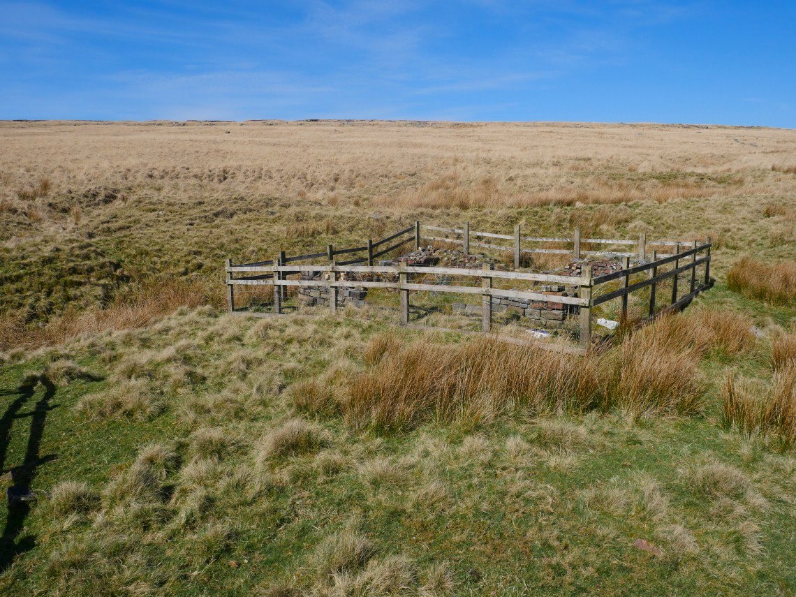
.A few minutes walk from the farm are these old coal pits.
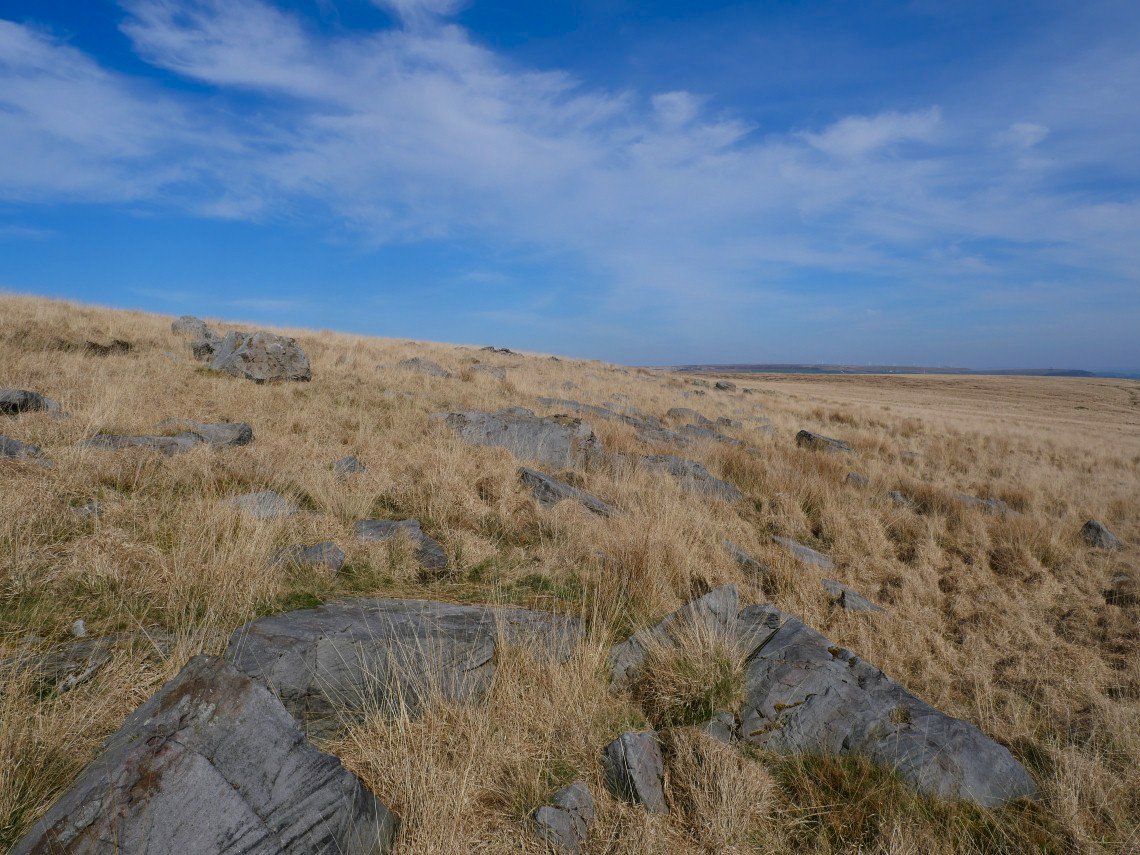
Another place which I've noticed on the map is Andrew's Buttery which I'd read was a rock formation similar to the grey stones so I struggled through the tussocks and holes to reach it.
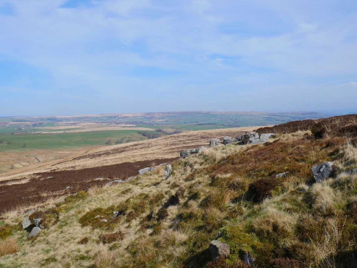
It's not far to the slightly more impressive Big Grey Stones and on to the east west path home.
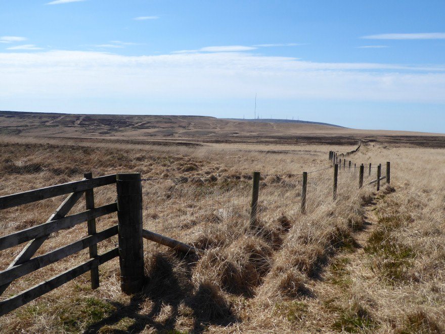
Back on the east west path again but this time heading in a northern loop hoping to get a view of the Lake District fells.
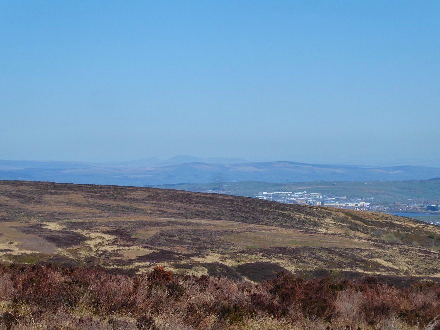
It's not as good viewing conditions today though, Ingleborough is only just visible.
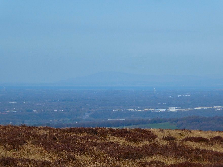
As are Morcambe Bay and Black Combe.
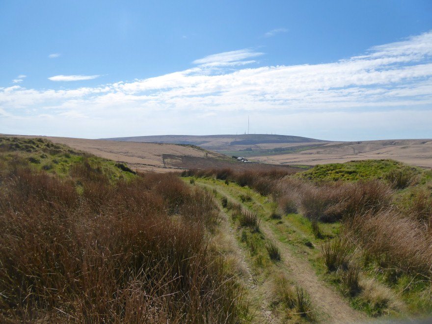
But I discovered another nice path which allowed to me to make a circular route home.
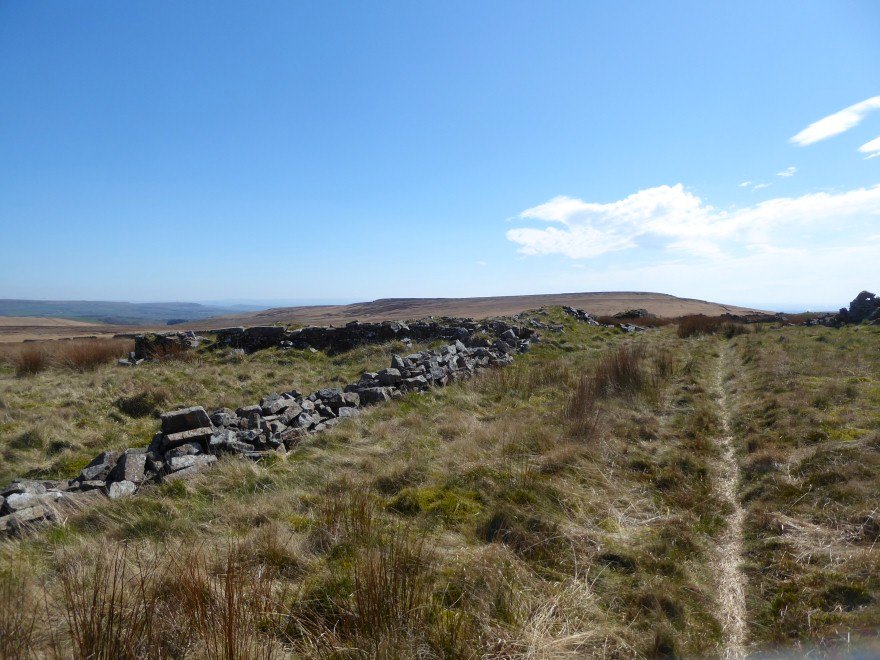
But it was such a nice day I walked back along the wall to Hanging Stone.
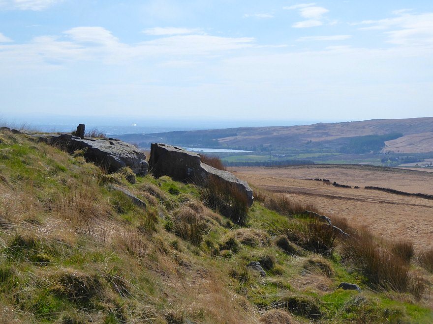
Hanging Stone.
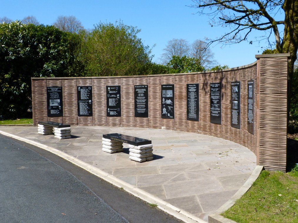
Our local cemetery has reopened so I can walk through there to the moor passing this smart new war memorial on the way.
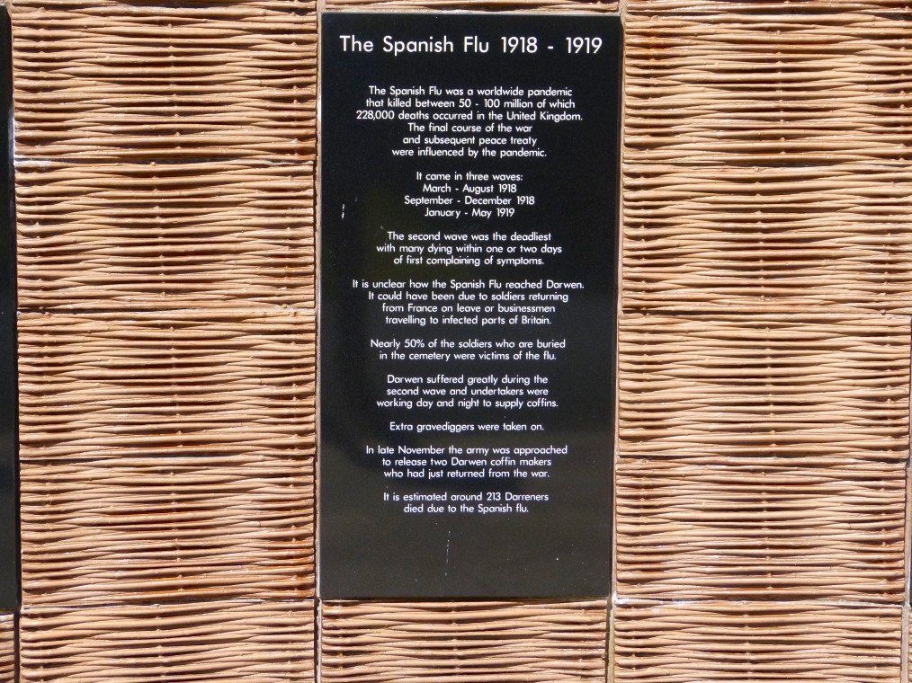
I thought this information board was especially relevant.
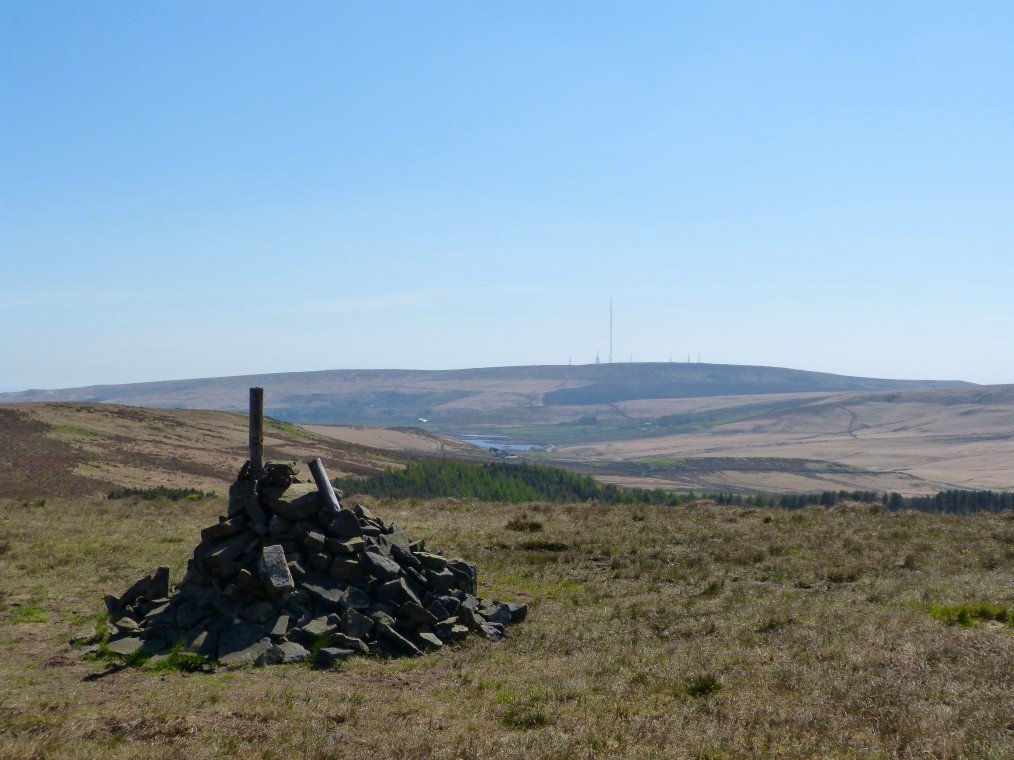
I was heading for Cartridge Hill today which at 401 meters is the highest ground I can reach fairly quickly from home. The highest ground is Winter Hill at 456 meters which as you can see is a bit too far for a quick stroll out of the door. I was checking out the quickest way as from Cartridge Hill there is an uninterrupted view northwards to the Lakes and I intend coming in the evening to see the sunset and hopefully the fells.
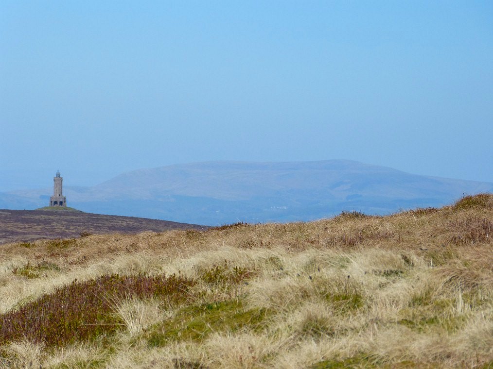
Darwen Tower and Pendle Hill.
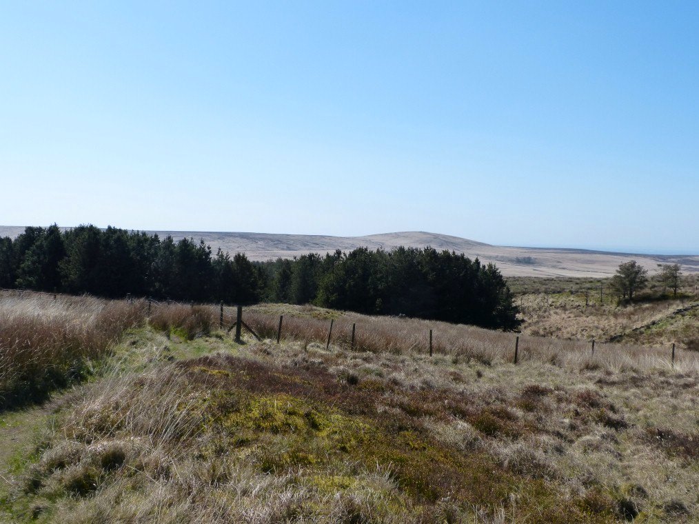
.I found another lovely path to come home on . That's Great Hill beyond the trees.
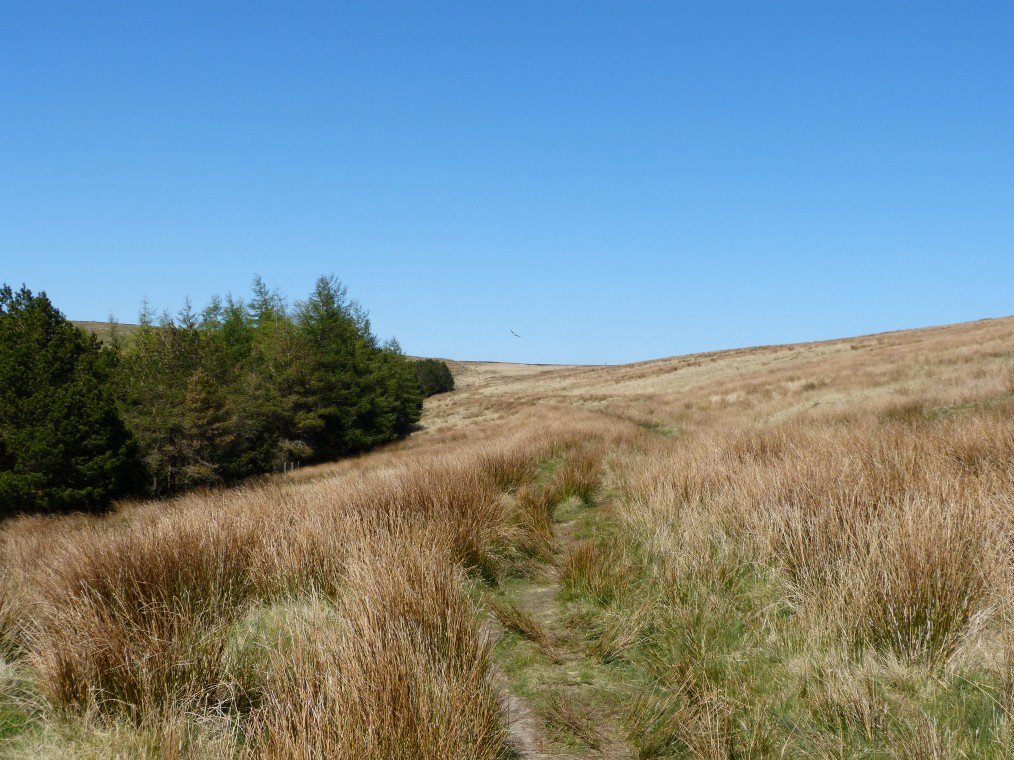
Looking back to Cartridge Hill. As you can see the weather has been absolutely wonderful all through April which at first I was annoyed by as I would like to be in the Lakes but then I thought if the weather had been horrible the lockdown would seem even harder than it is.
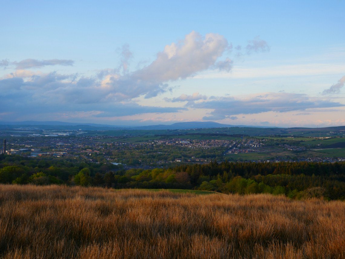
I'm out after tea now trying to catch the sunset. The air is quite clear although it's not that cold. Pendle Hill is well seen tonight.
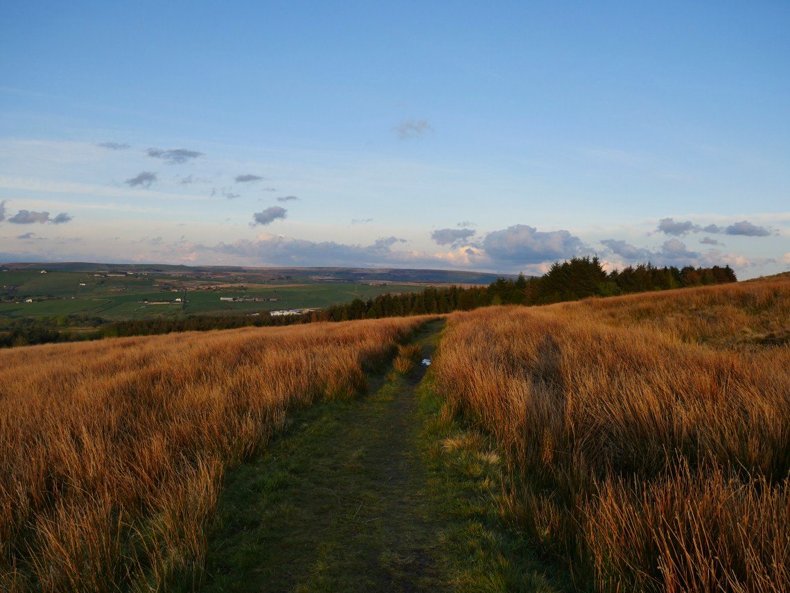
I thinking that I might have set off a bit too late as the rough meadow is already glowing in the setting sun.
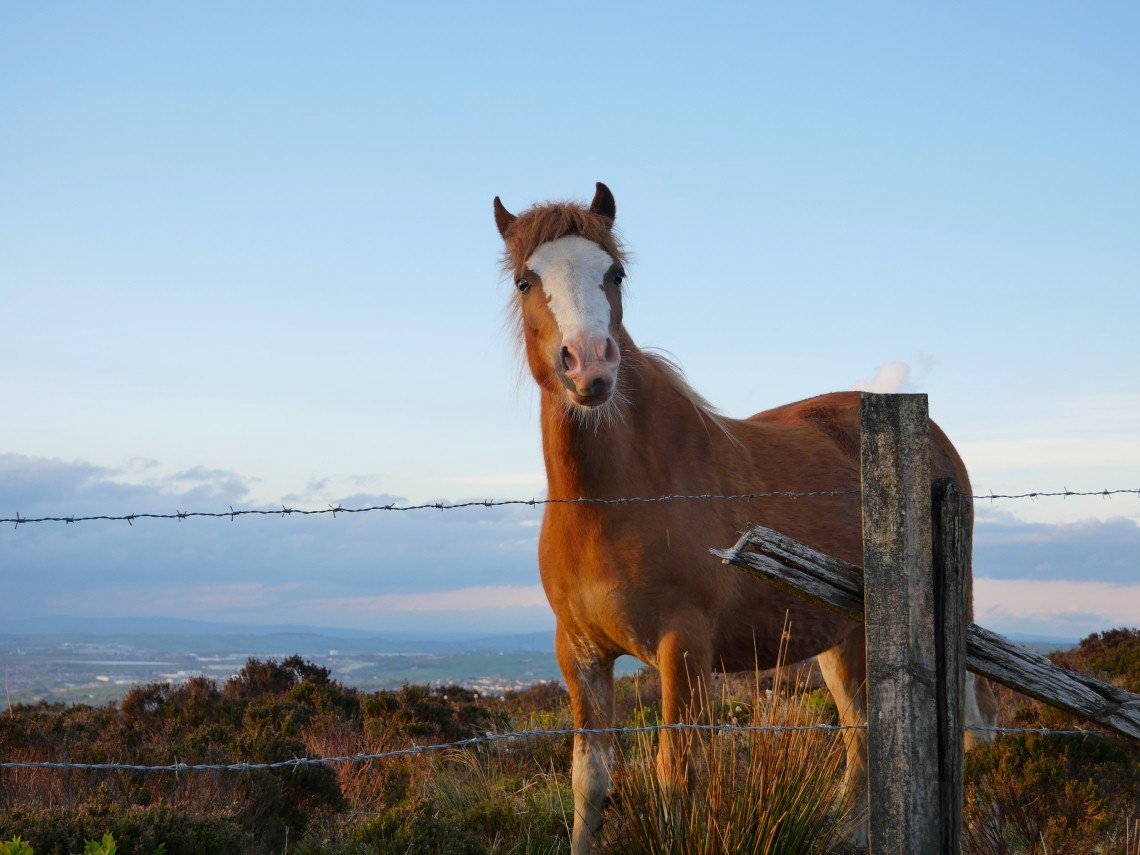
And this pony wanted a chat.
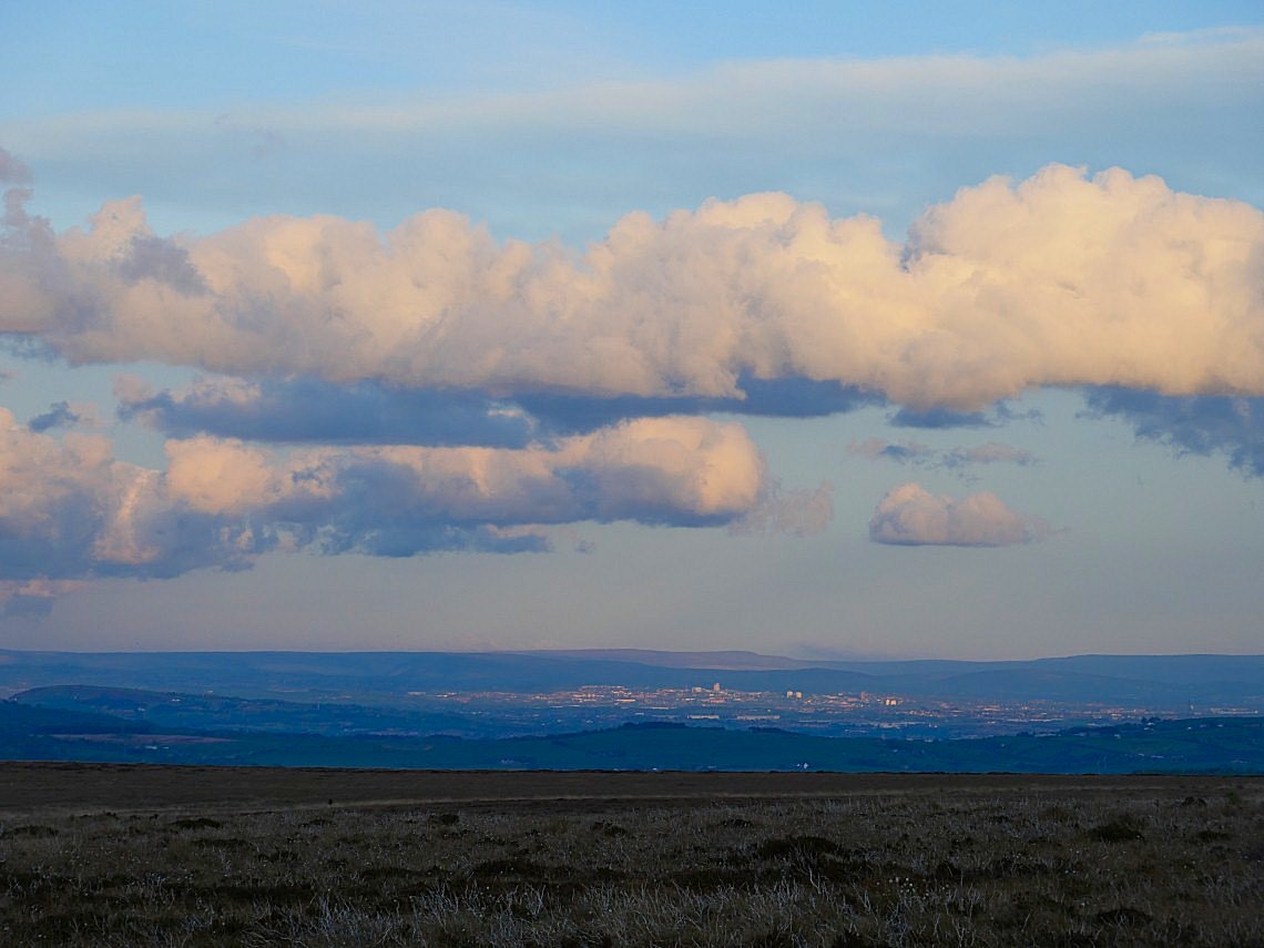
Manchester and the Peak District very clear.
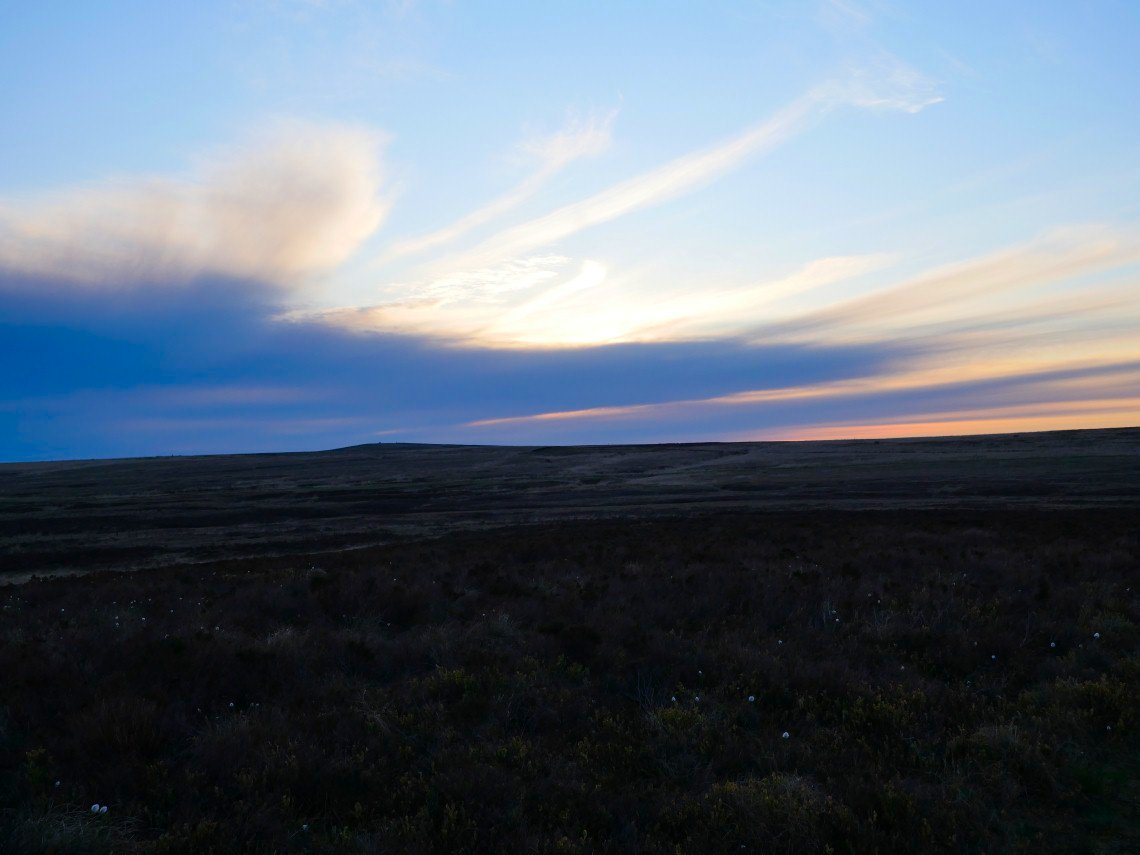
Cartridge Hill in the distance and I'm thinking I might be too late.
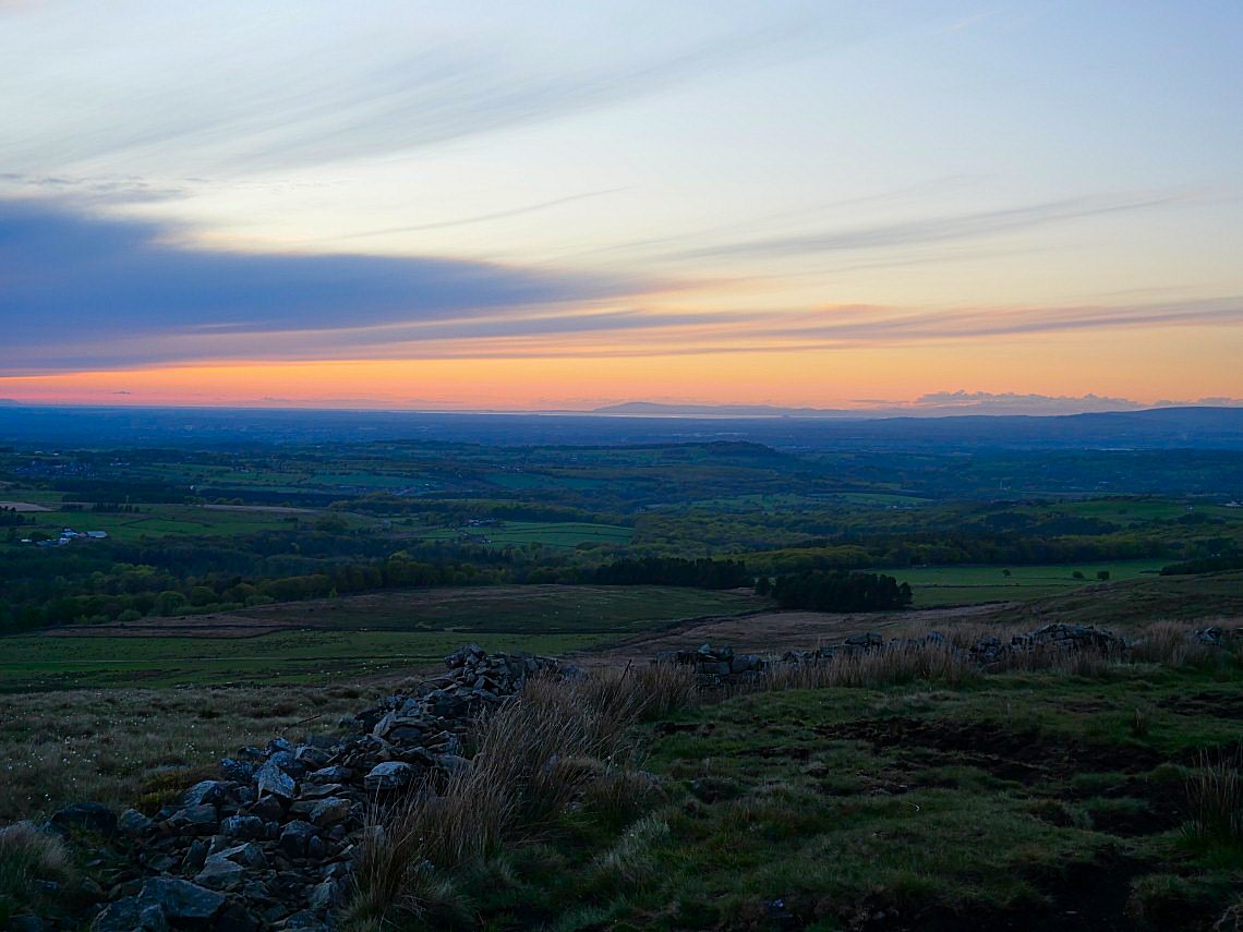
But I'm just in time and as a bonus Black Combe is very clear.
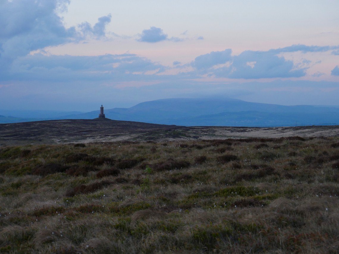
Pendle is clouding over though.
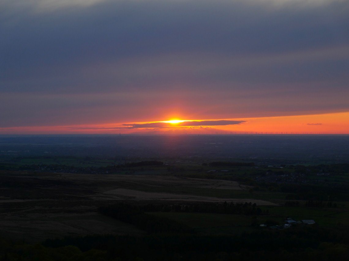
Not the best sunset I've ever seen but well worth the walk and when I looked at the pictures on my computer I realised that the sun is setting behind the Isle of Man
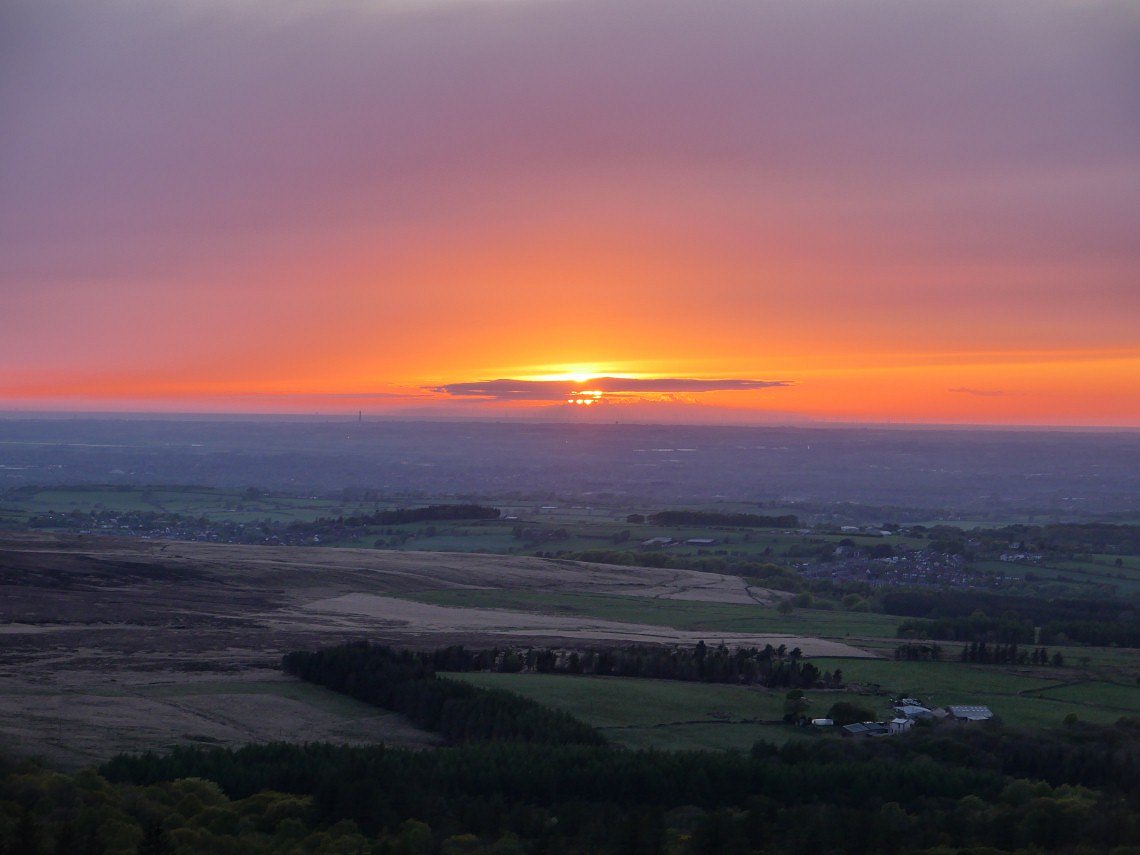
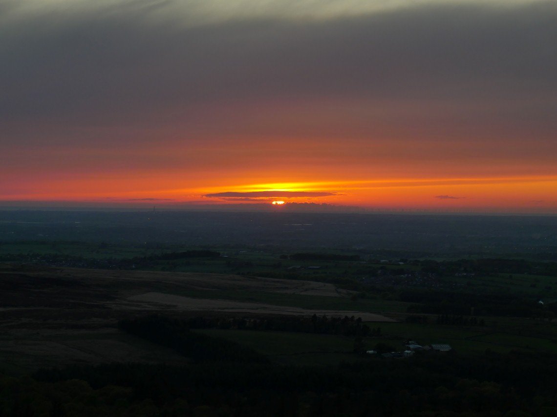
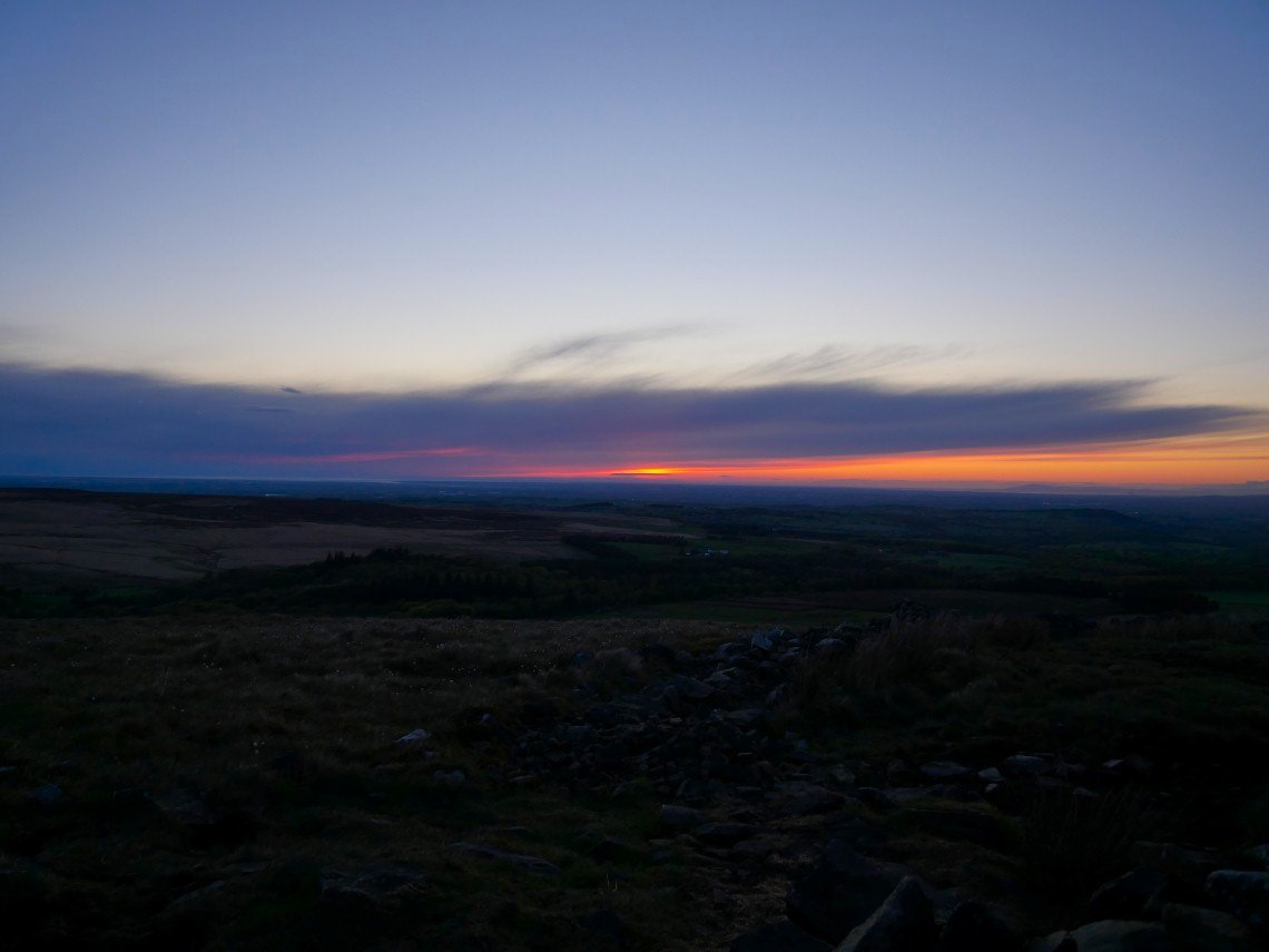
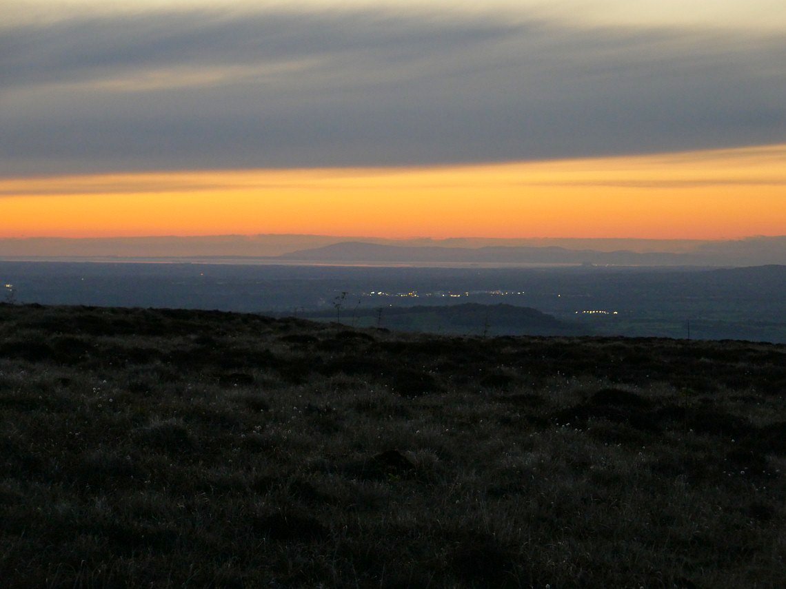
Black Combe leads on to the Stainton fells then Caw and Pikes and the just about White Pike after that the cloud is down over central Lakeland.
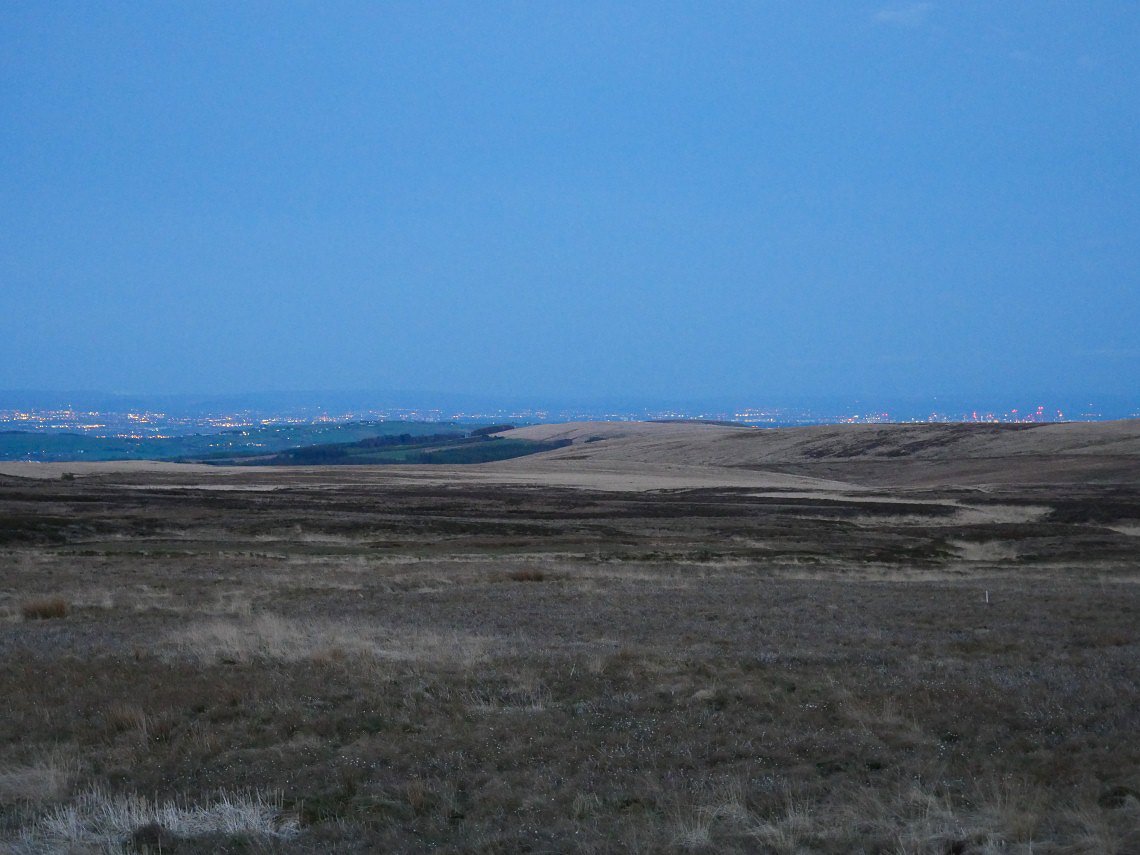
The lights of Manchester.
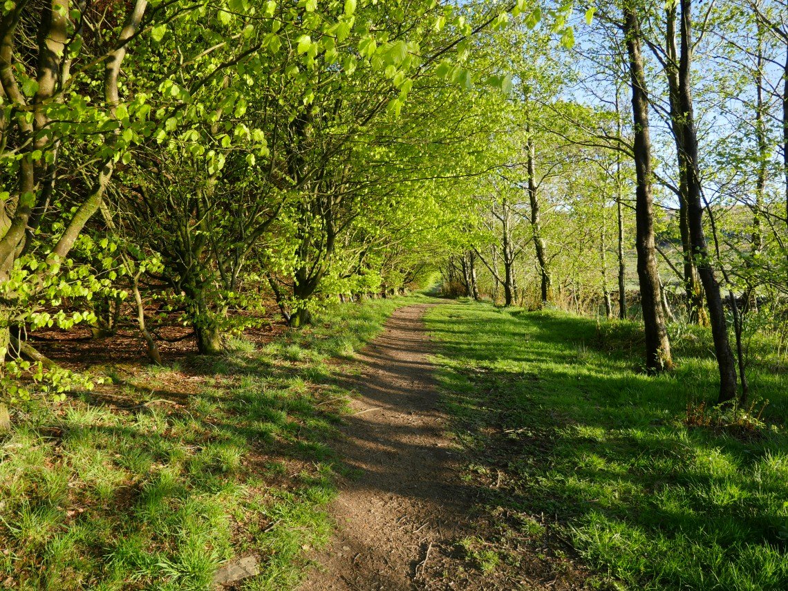
I'm setting off earlier tonight so should have plenty of time on Cartridge Hill.This is the avenue of trees now fully in leaf and making for a lovely start to the walk.
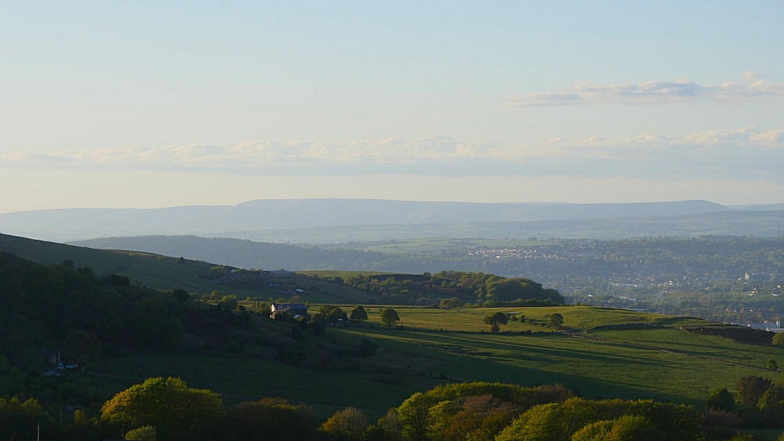
Longridge Fell.
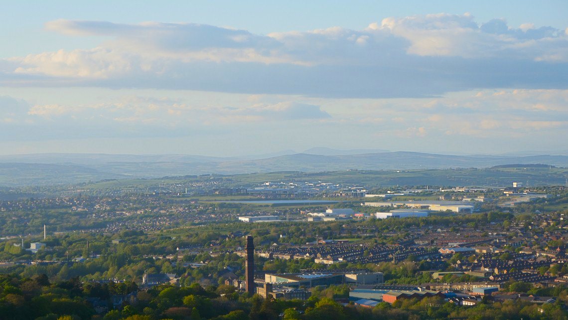
Again Ingleborough just about visible.
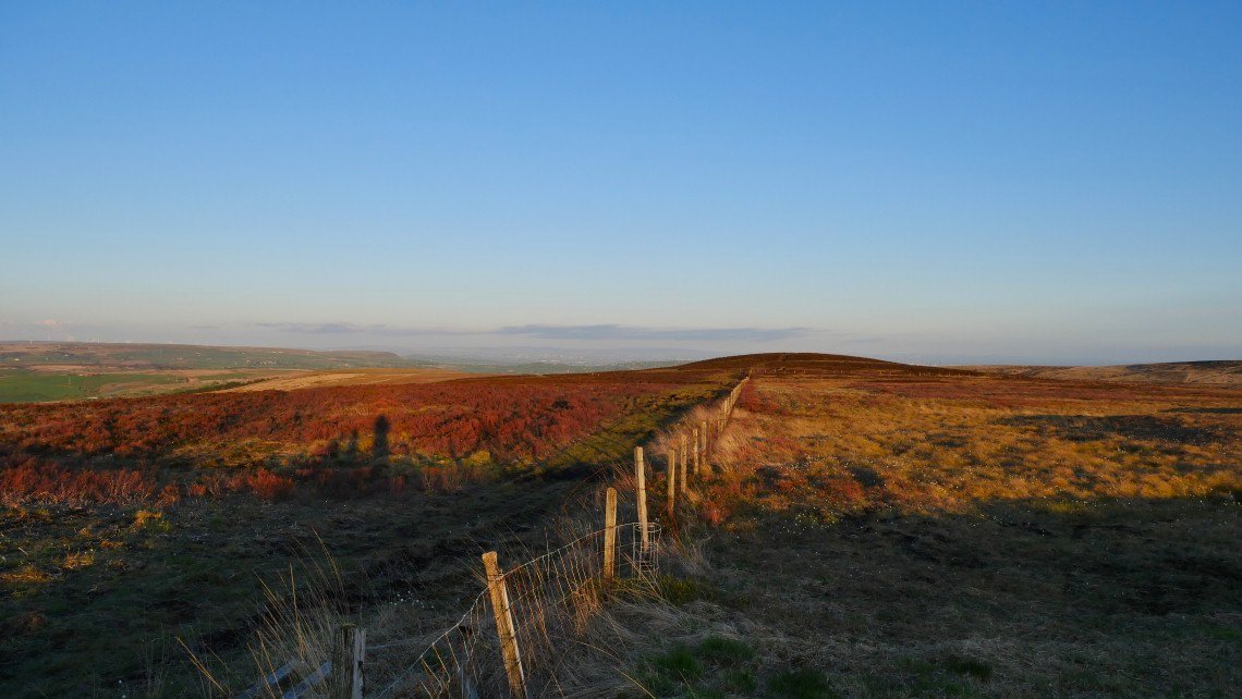
We had a couple of days of rain so the moors were back to their usual boggy self, especially on this pathless short cut over Brown Low which I take to Cartridge Hill.
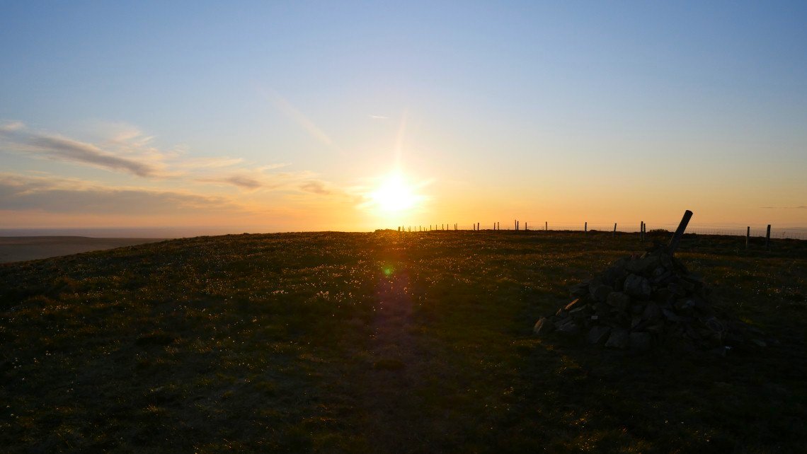
On to Cartridge Hill in plenty of time.
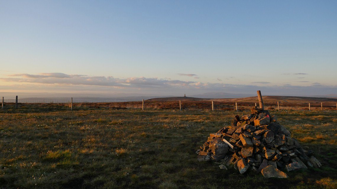
Darwen Tower from Cartridge Hill.
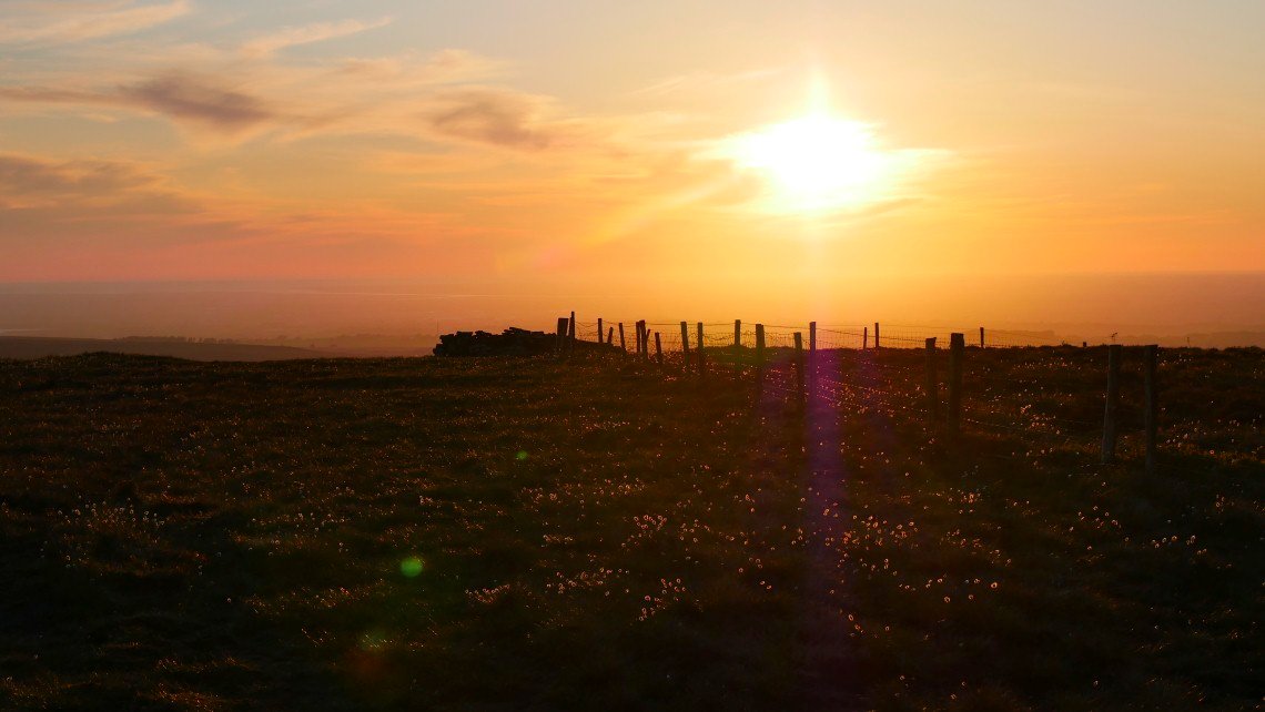
There is a nice little seat in the wind shelter so I made myself comfortable and hoped for the best.
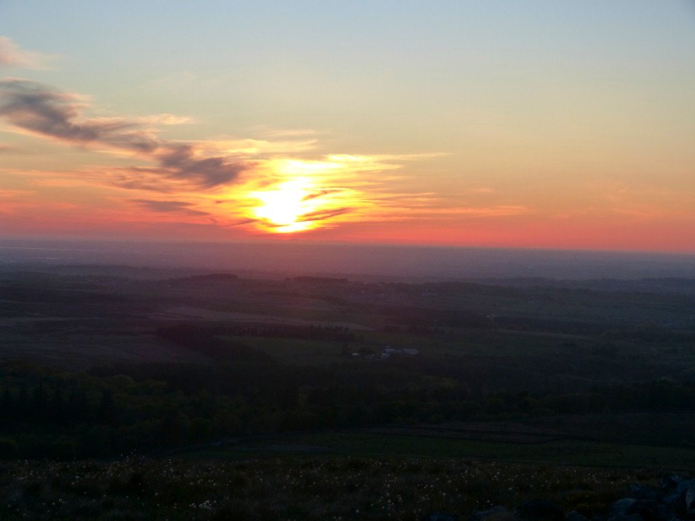
And it wasn't bad
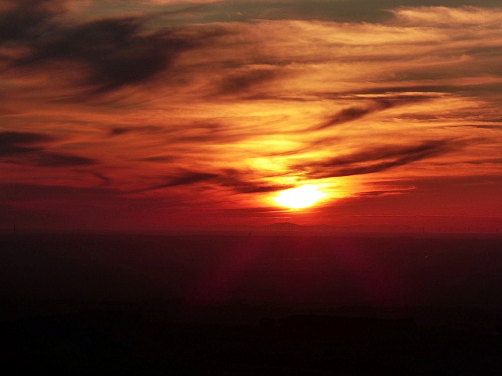
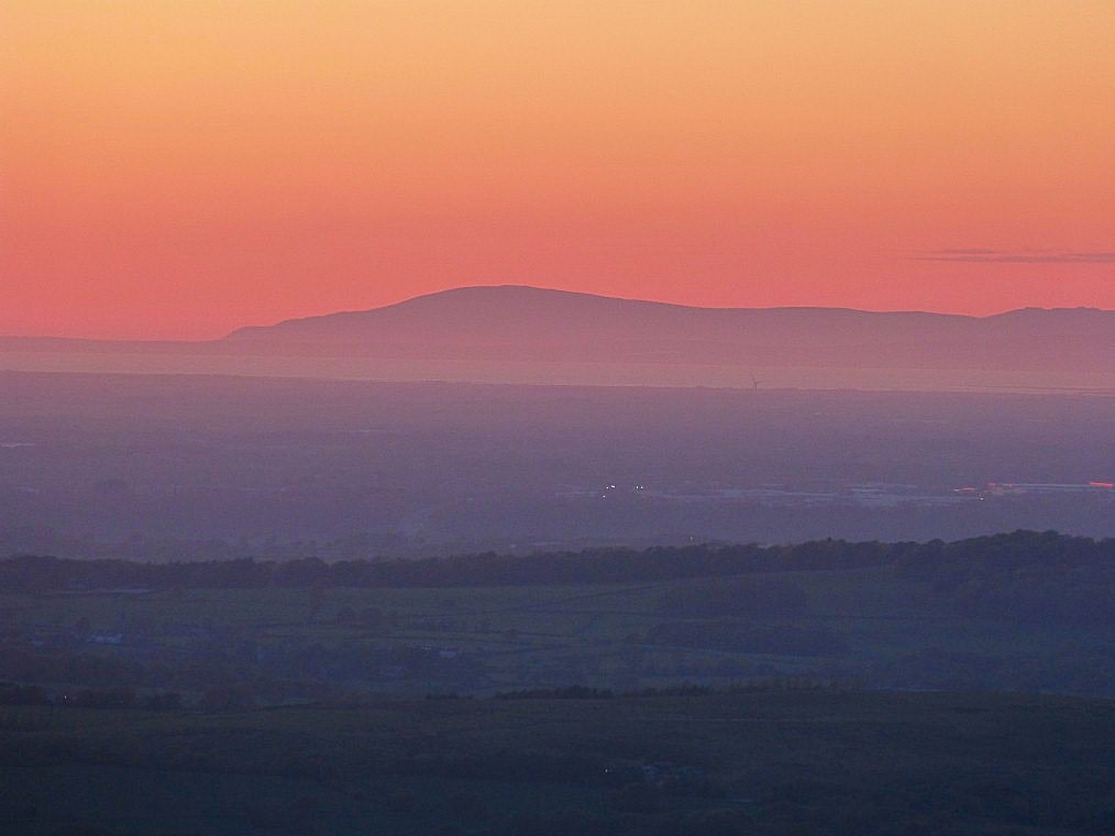
The Lakeland fell were cloud free tonight
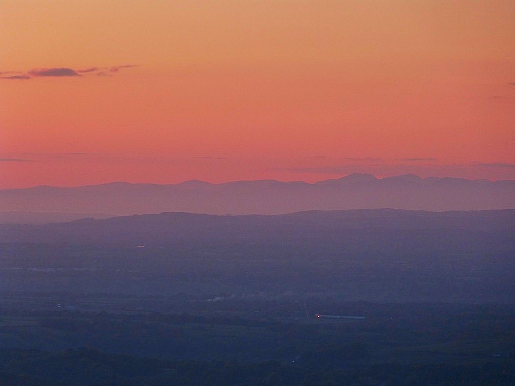
Scafell and the Pike were very clear. (right of centre)
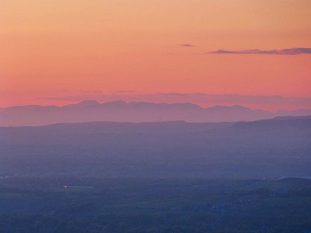
And then Esk Pike and Bowfell to the Langdale Pikes.
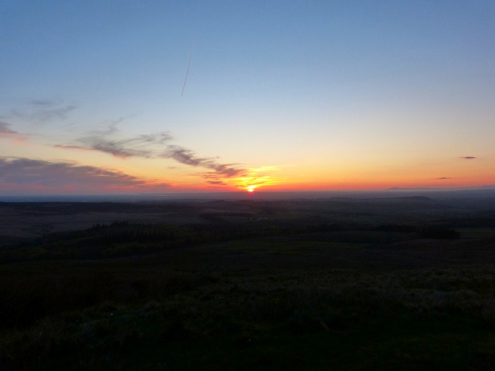
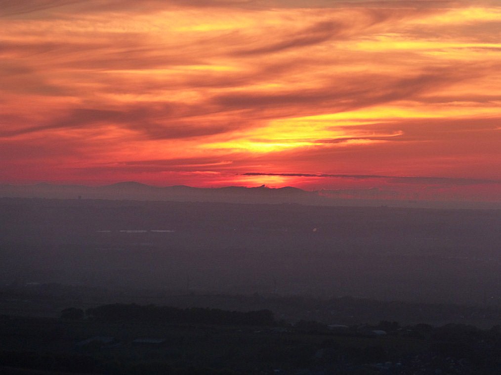
The Isle of Man very clear
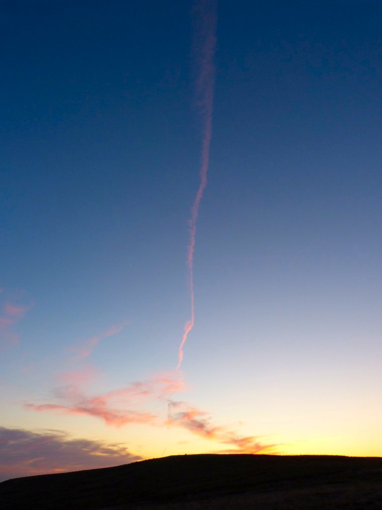
I realised that this was the first plane I'd seen in about six weeks.
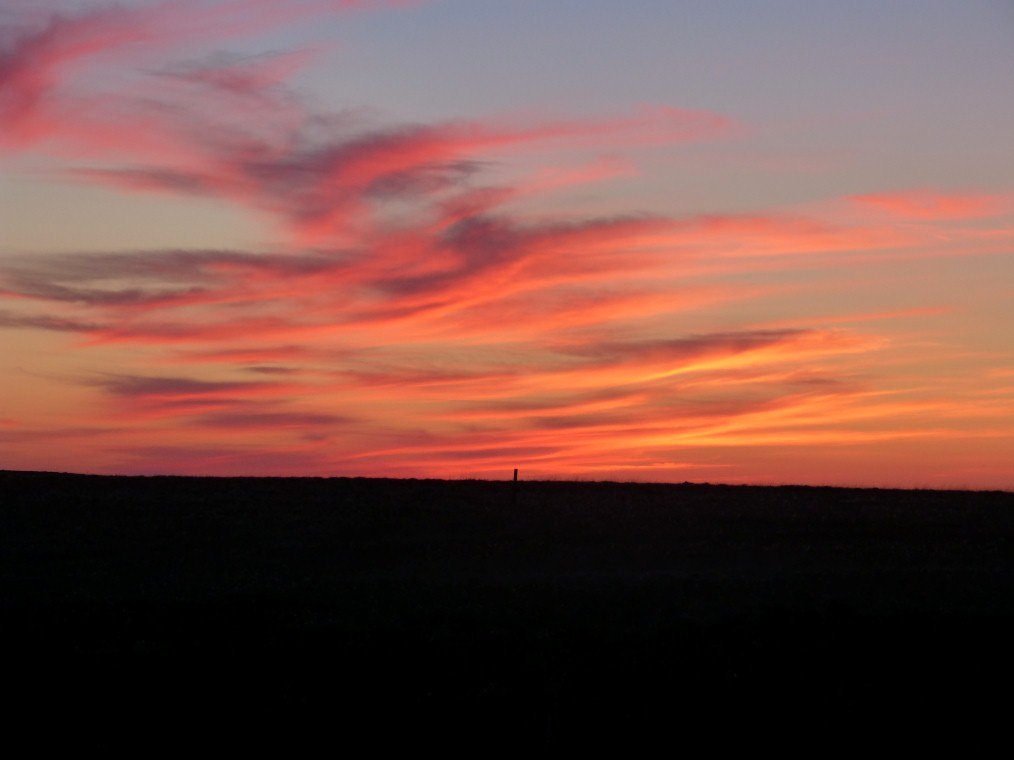
Clouds over Cartridge Hill.
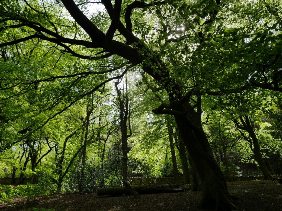
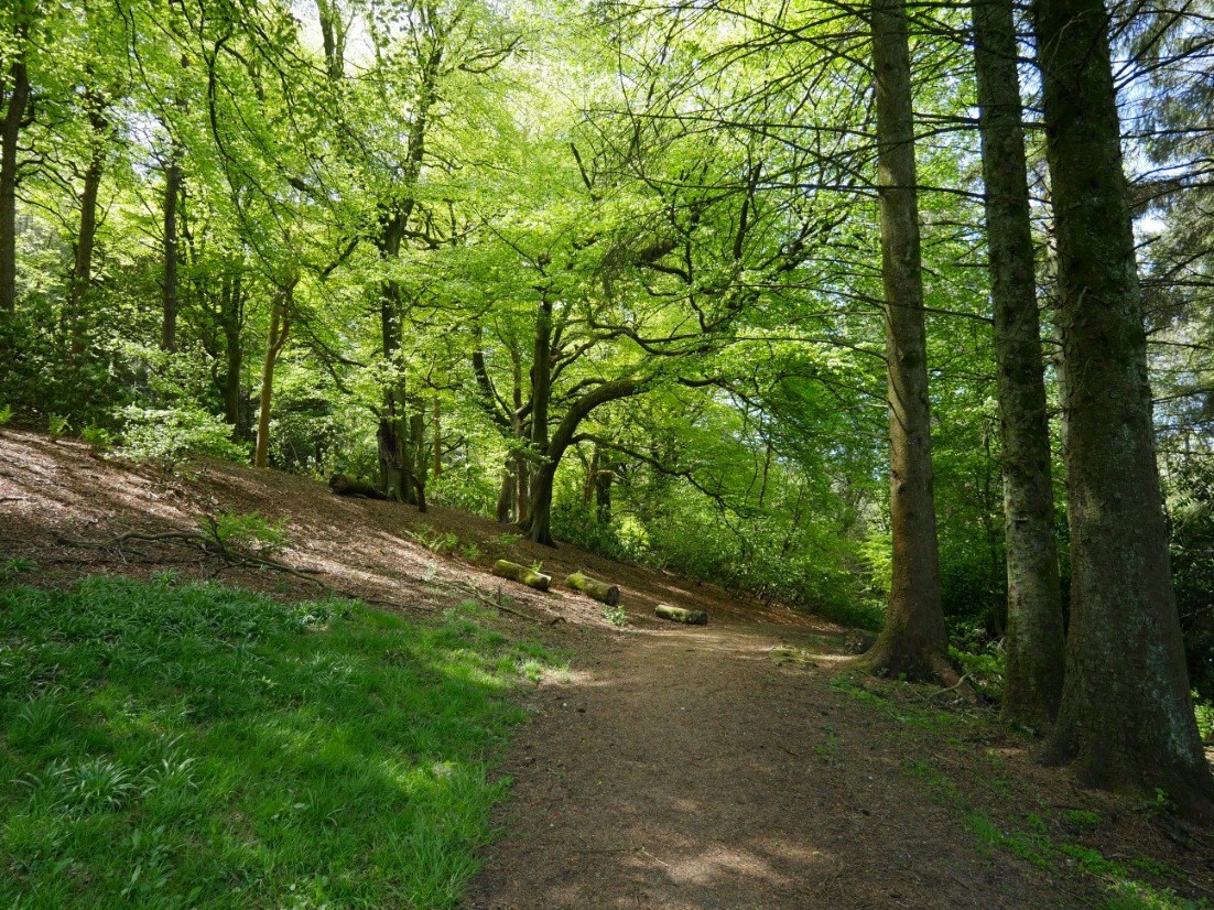
Another lovely day especially under the canopy of the trees in the cemetery.
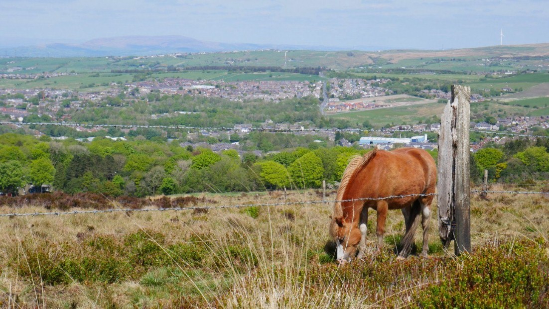
The pony was too busy to chat today.
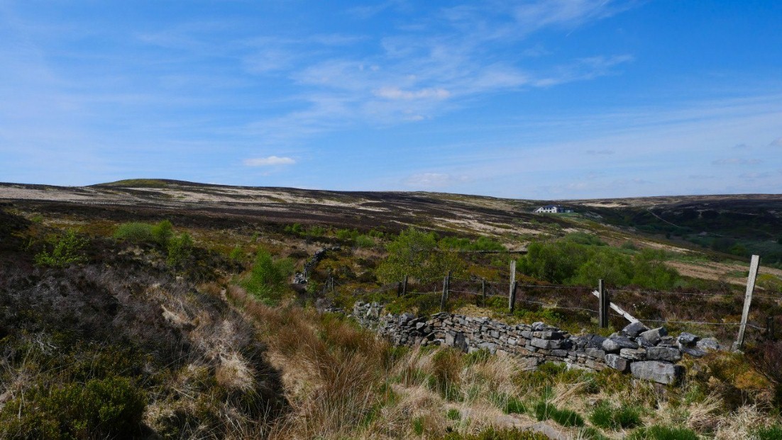
Just a short walk today and I'm exploring a couple of paths which I've not yet been along.
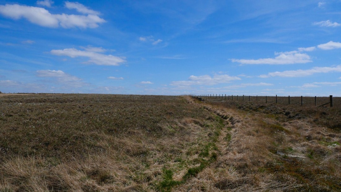
Which I thought were very nice especially as the weather had improved again so they were quite dry.
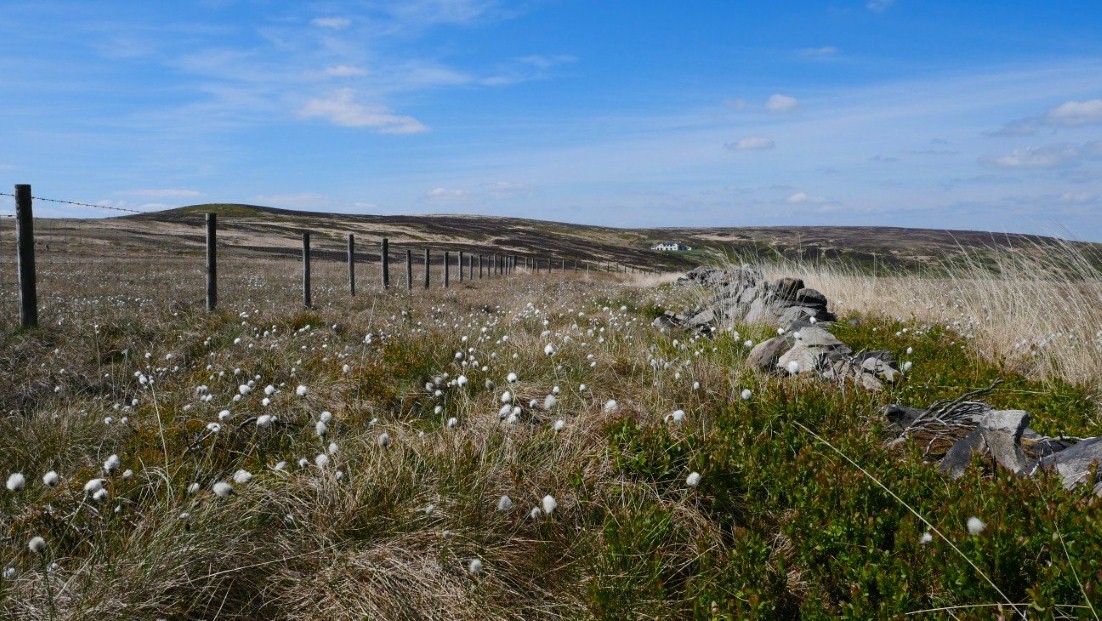
The bog Cotton has bloomed.
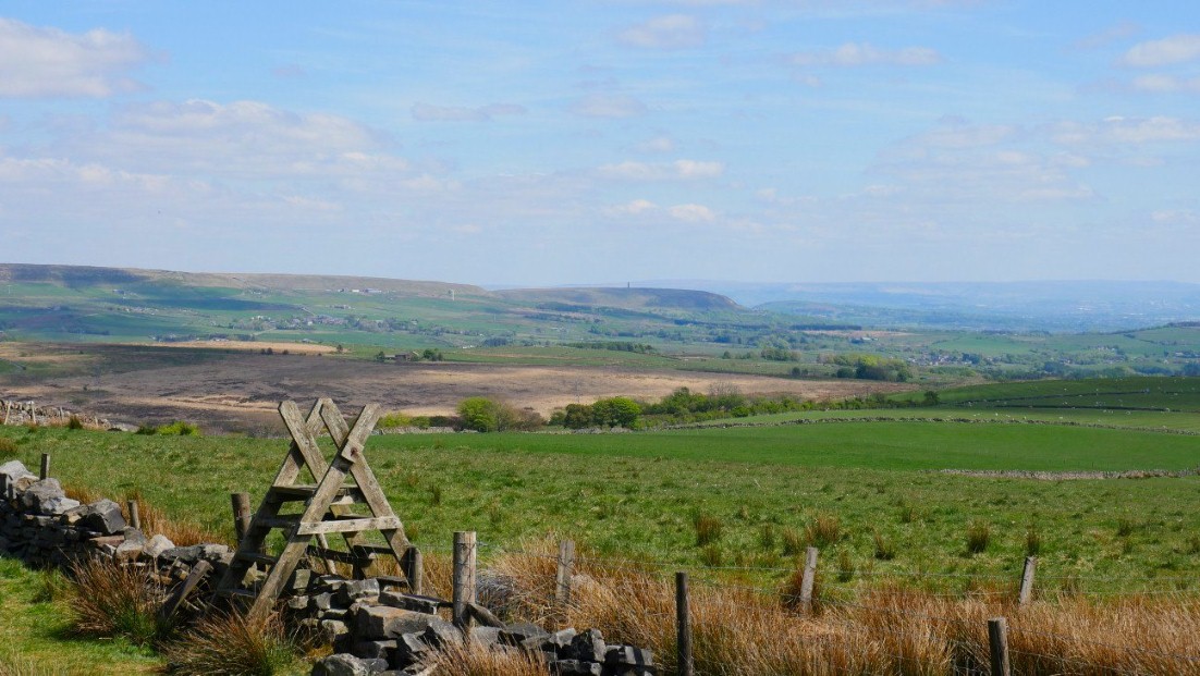
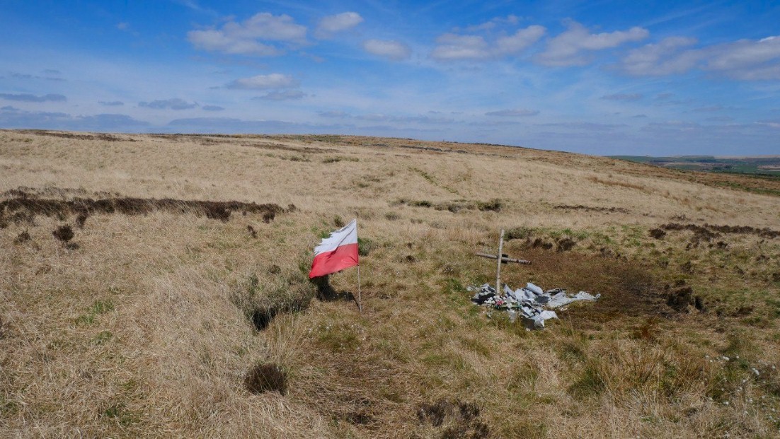
Peel Tower again away to the south. When I stood on the stile to get my bearings I saw something on the moor which I went to investigate.
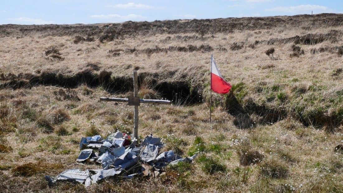
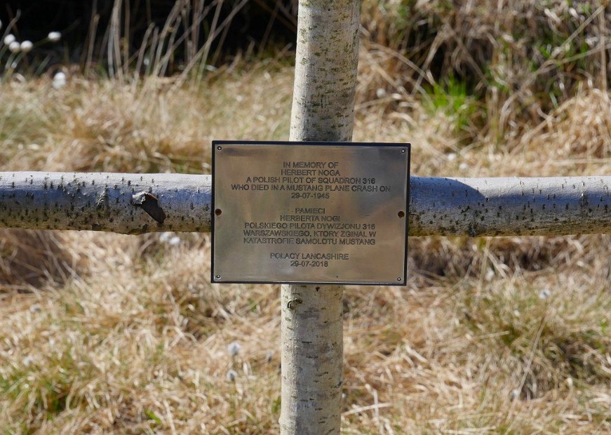
Which turned out to be a Polish flag which stands over a shrine to a Polish airman who crashed here in 1945.
After a very dull and cold day the weather perked up after tea so I had another walk to Cartridge Hill to see if I could catch a nice sunset.
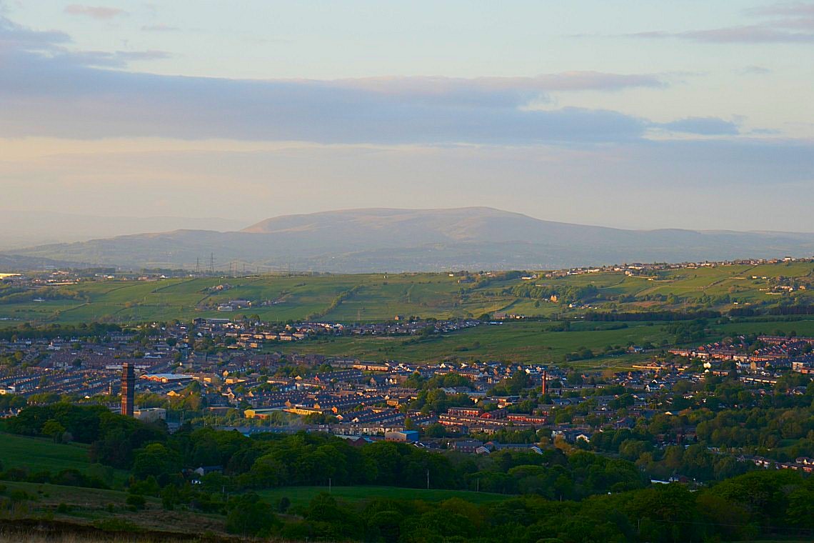
Still quite cold though so Pendle was very clear.
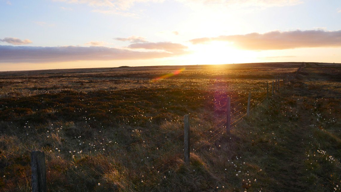
Coming over Brown Lowe.
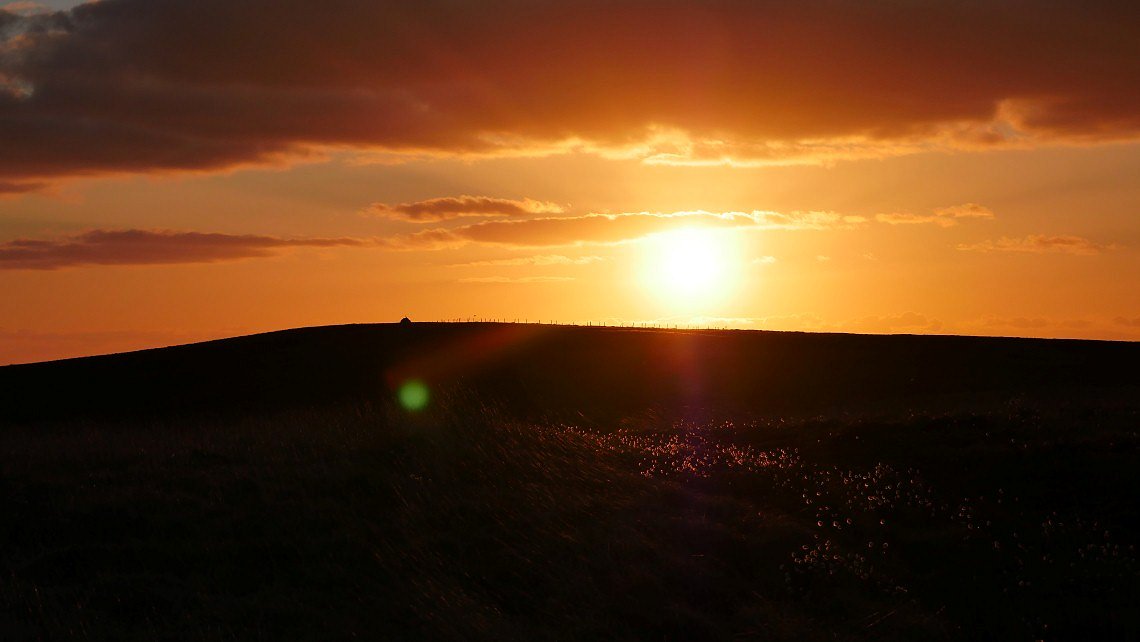
Cartridge Hill.
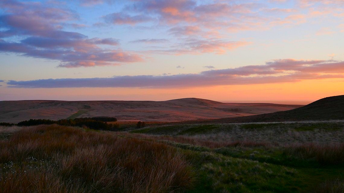
Great Hill was catching the sun tonight.
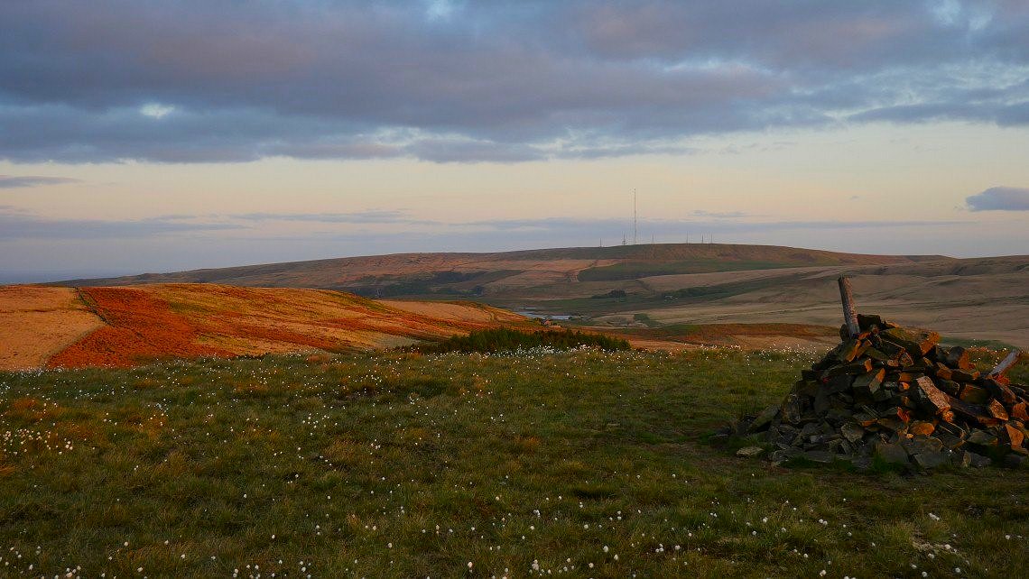
Winter Hill with Belmont reservoir below.
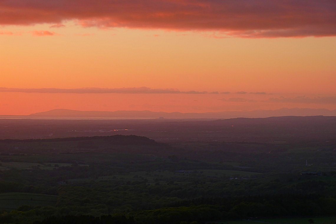
Lakeland fells.
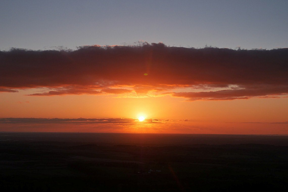
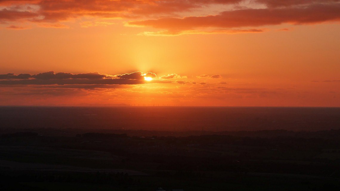
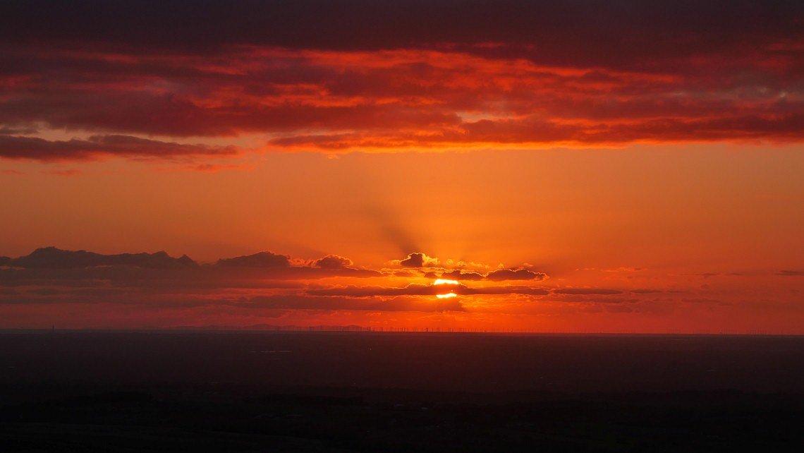
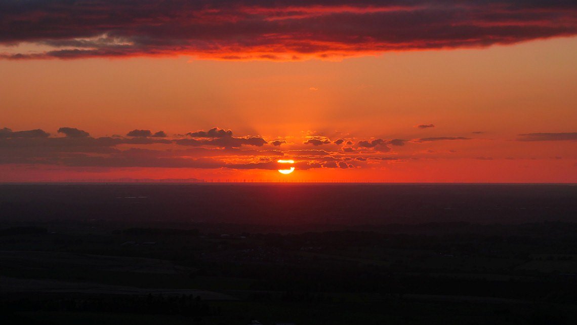
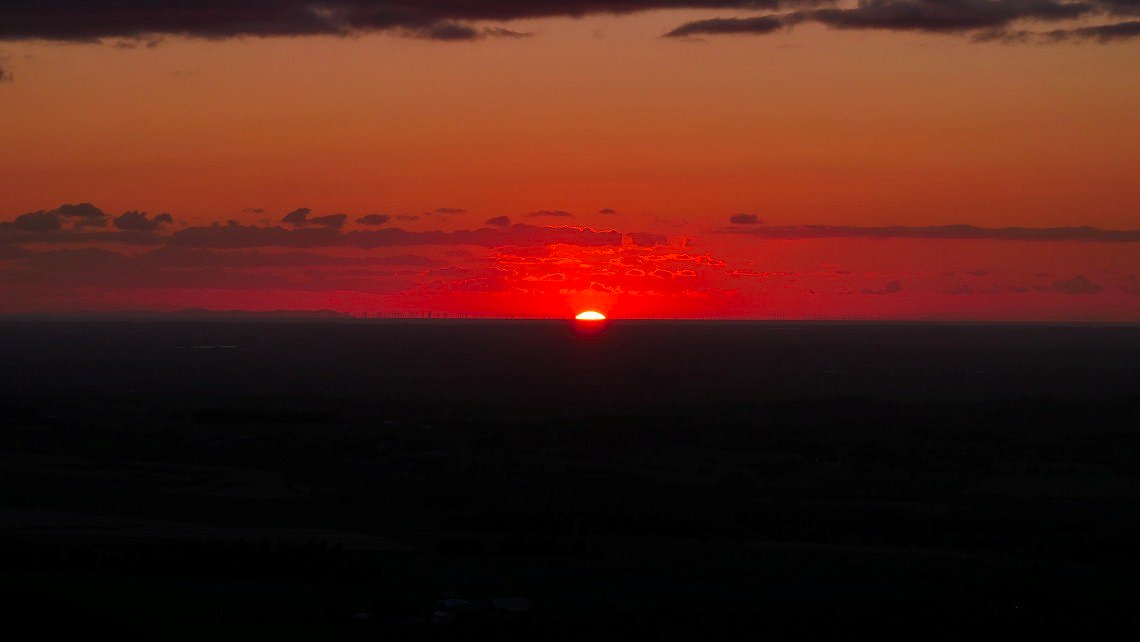
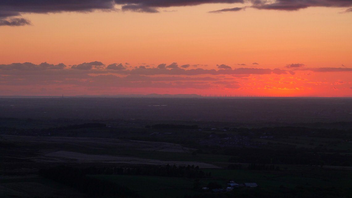
The Isle of Man and the offshore windfarm in Morecambe Bay very clear tonight
Its back to work on Monday so this may be the final Coronavirus walk. There probably will be a few more local walks as although I could go to the Lakes the advice from the mountain rescue and tourist bodies is to stay away until the risk from spreading the virus to isolated rural communities is lessened.
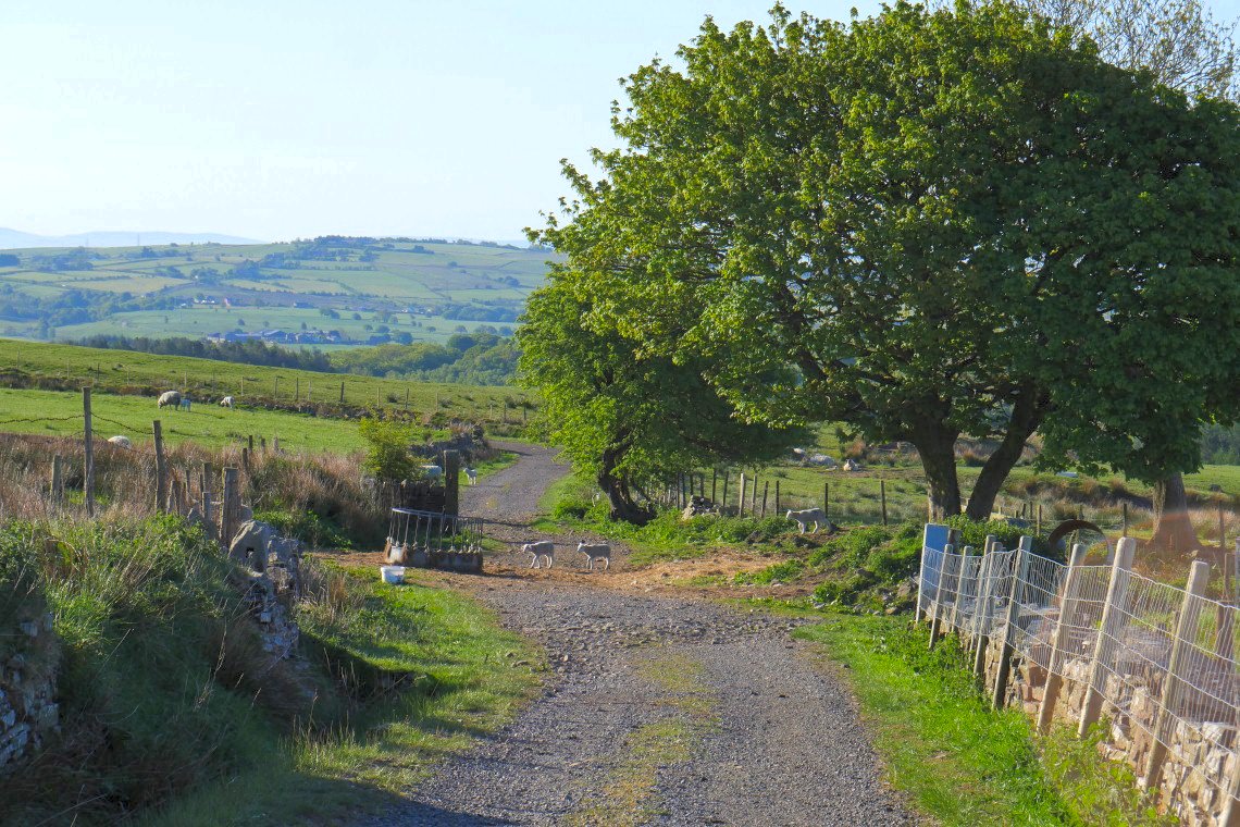
It's a lovely morning today and I'm back walking down Edge Lane towards Entwistle reservoir.
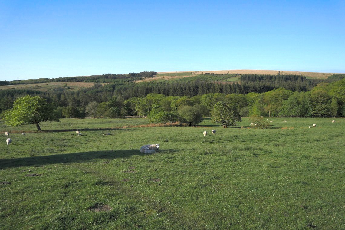
Rather than drop all the way down to Entwistle village I take a path which leads down to the path around the reservoir. From the reservoir I'm heading to Turton Heights, the high ground in the distance.
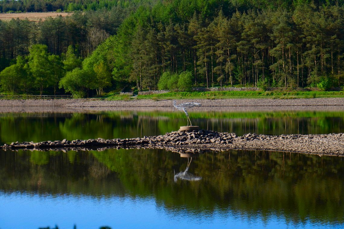
Heron sculpture.
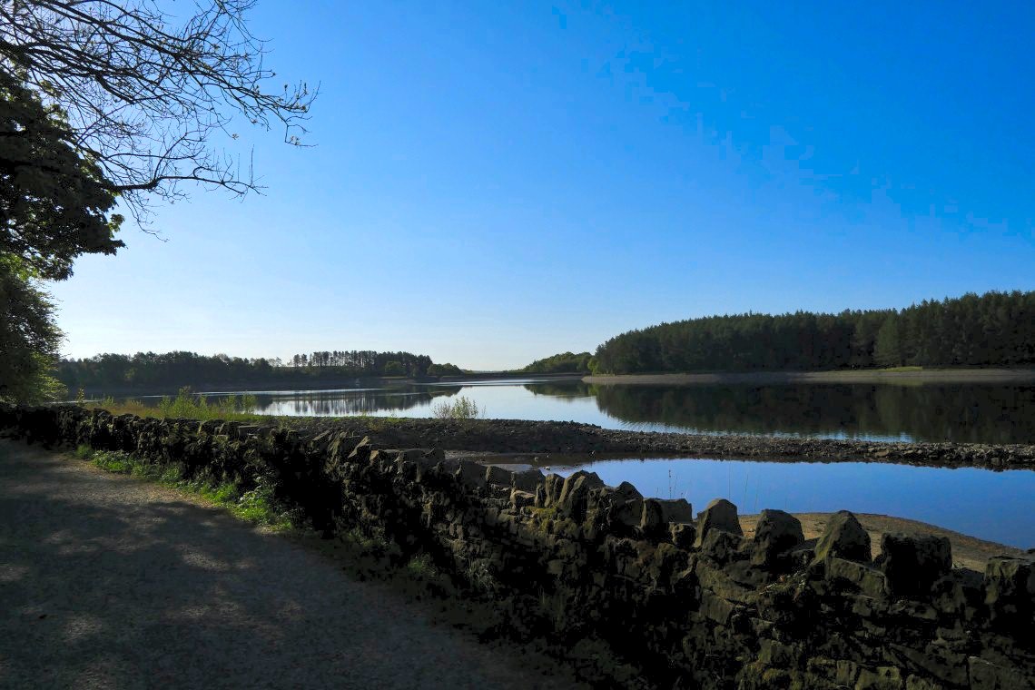
View to the dam.
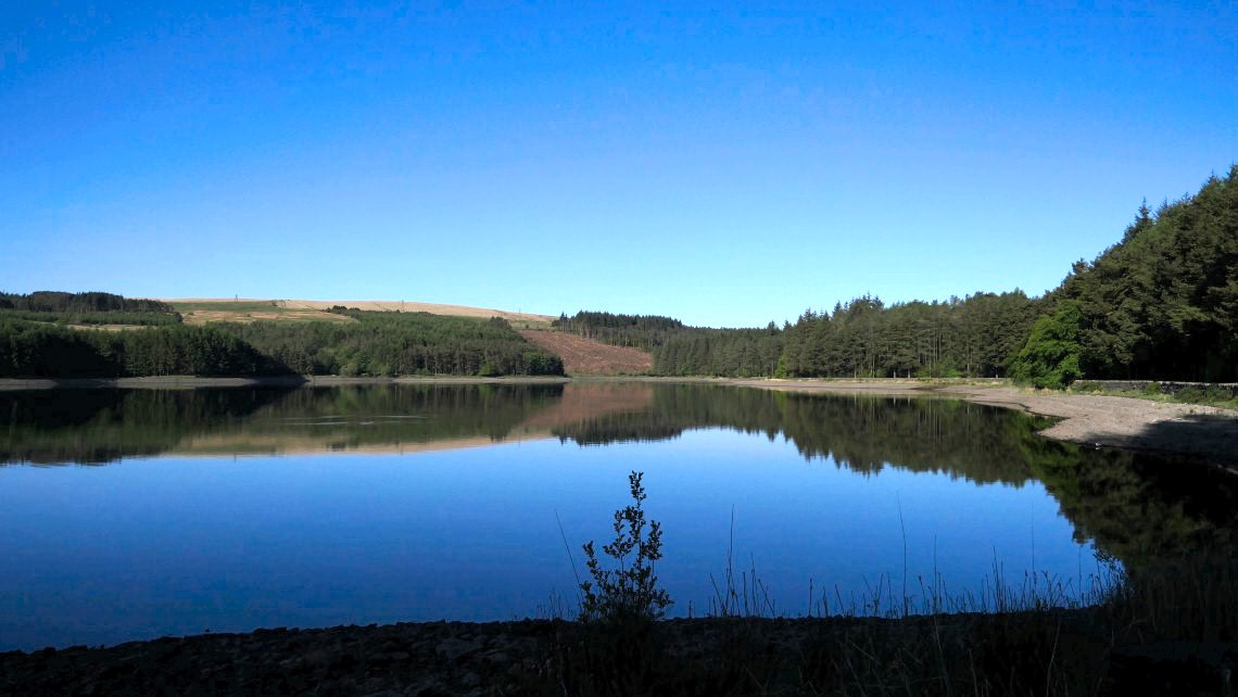
and a view back. I joined the path around three quarters of the way along.
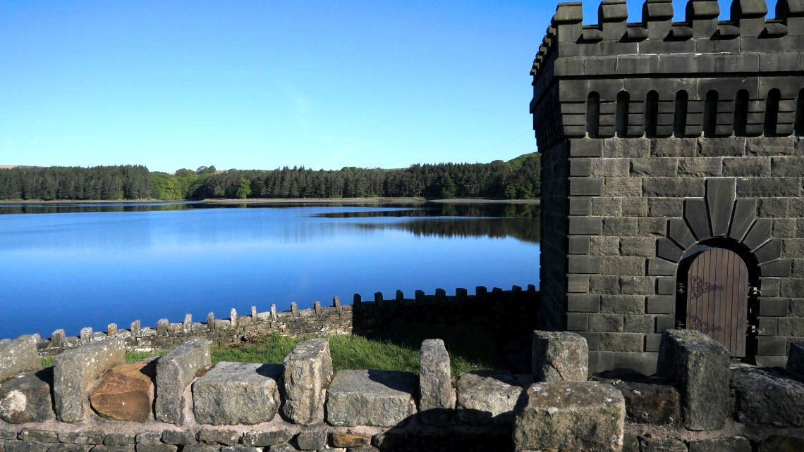
The pumping station on the dam.
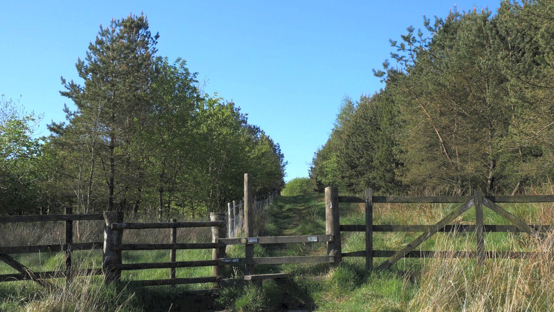
It's a gentle climb away from the res on this lovely tree lined path.
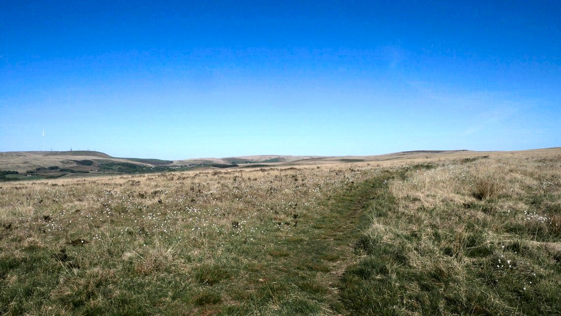
On to the open moor looking northwards.
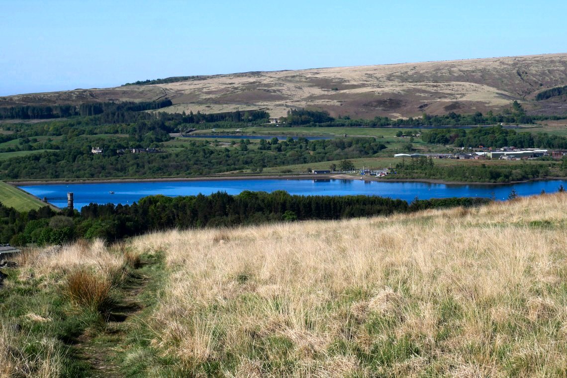
My route today only spends a short while on the top before descending down towards Delph reservoir.
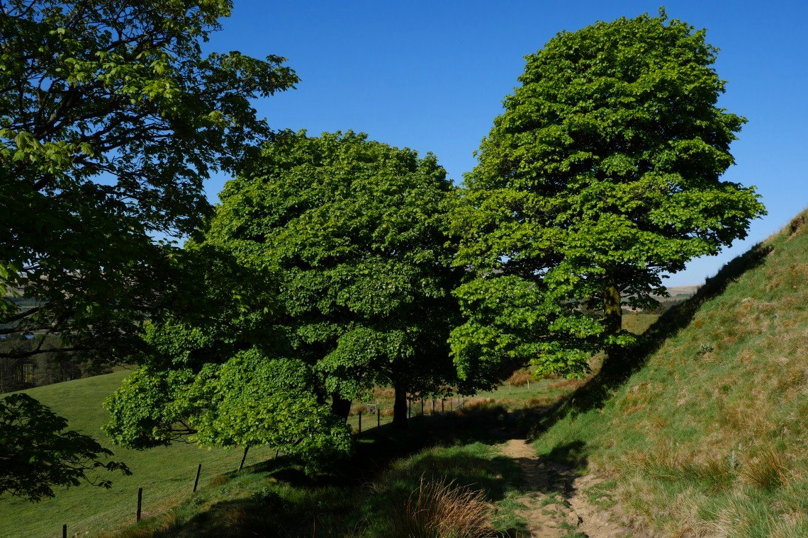
Passing under these two nice trees.
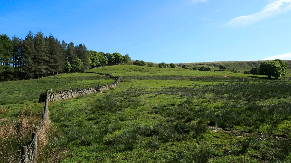
And down by this wall.
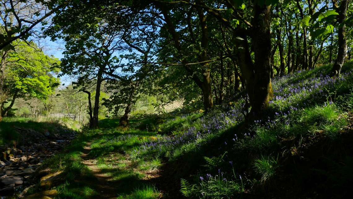
After crossing the busy A666 ( which now seems to be carrying the same amount of traffic as before the lockdown ) I pass these bluebells in this small copse. They are a little way beyond their best but still lovely.
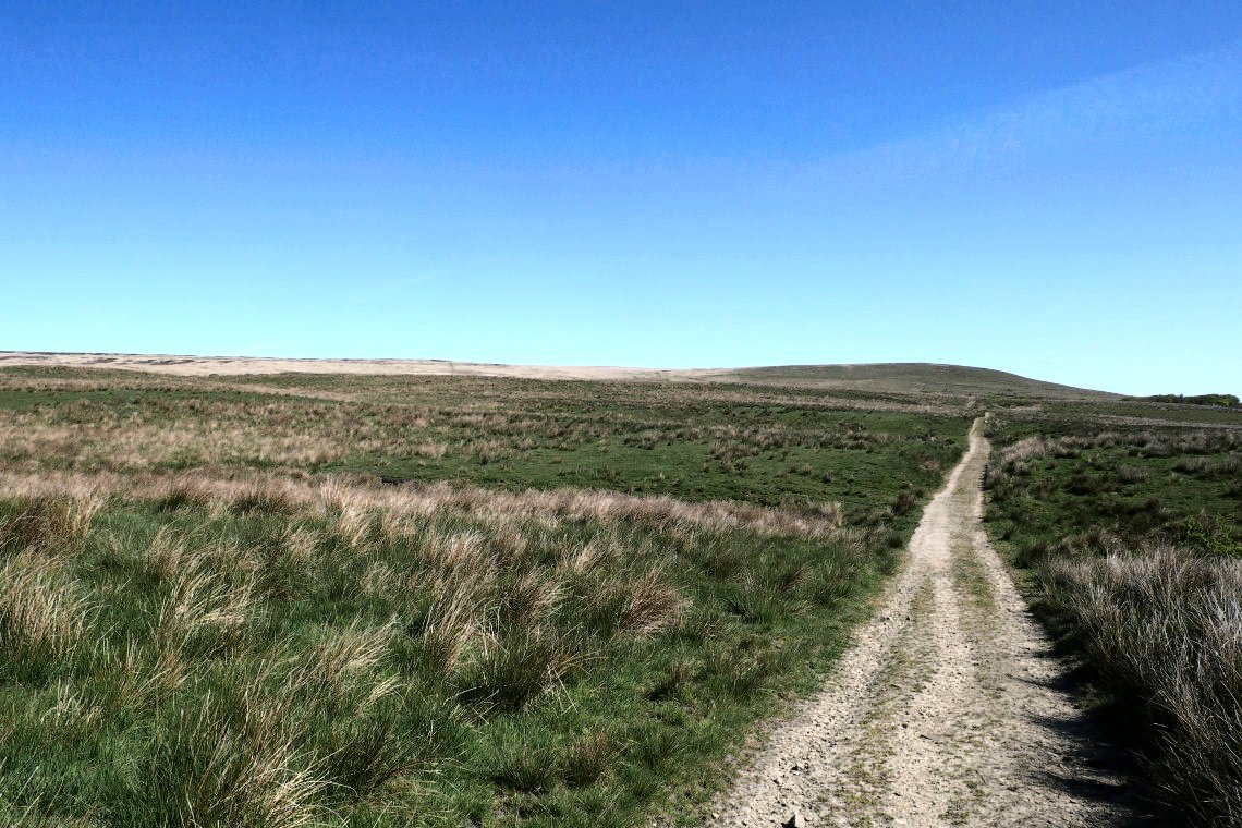
On the way back home now, although I don't think I've walked this particular path before.
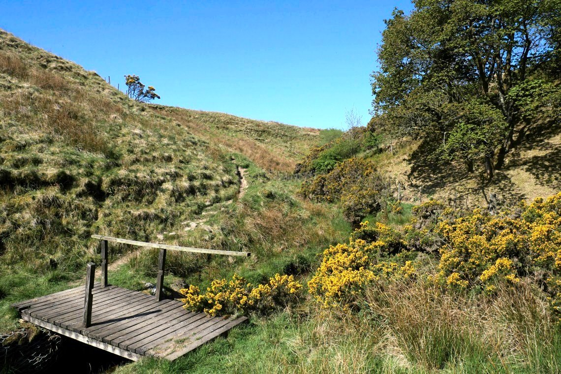
Crossing Holden Brook which runs through Owshaw Clough.
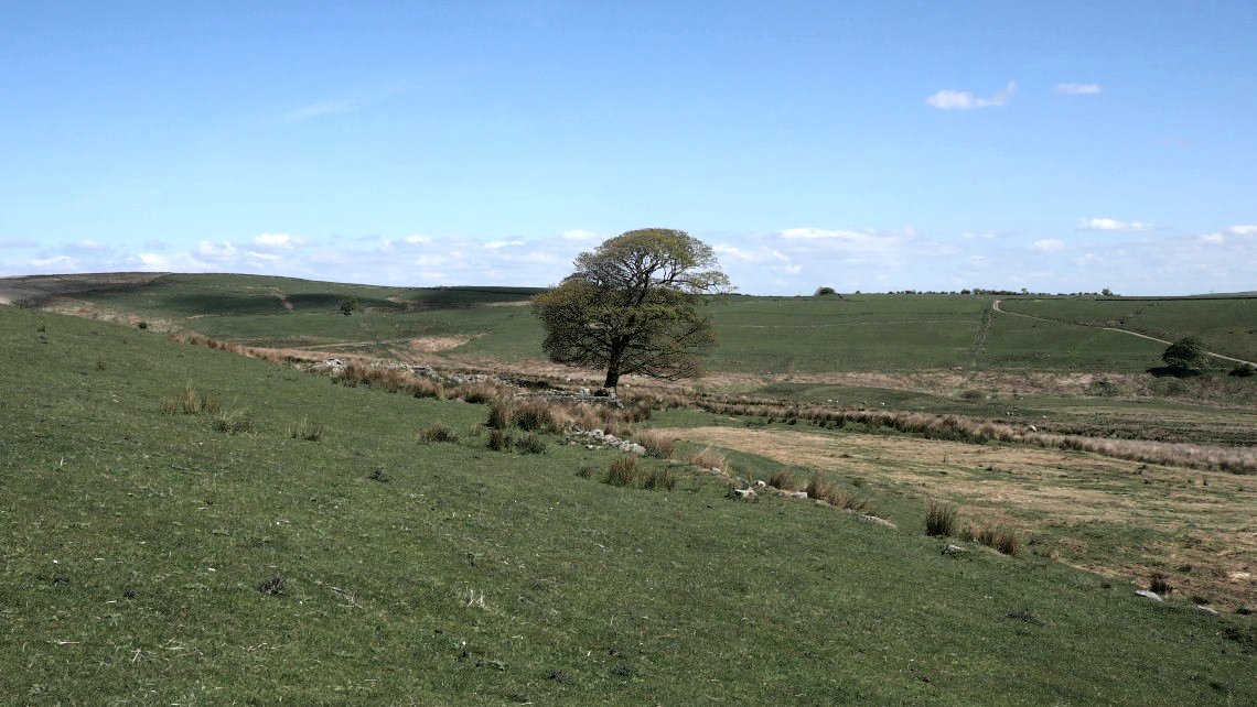
Back to the tree and ruined farm on Grindle End.