WWW.KARLSWALKS.CO.UK
PICTURES AND TRIP REPORTS FROM MY WALKS IN THE ENGLISH LAKE DISTRICT
|
E-mail - karl@karlswalks.co.uk |
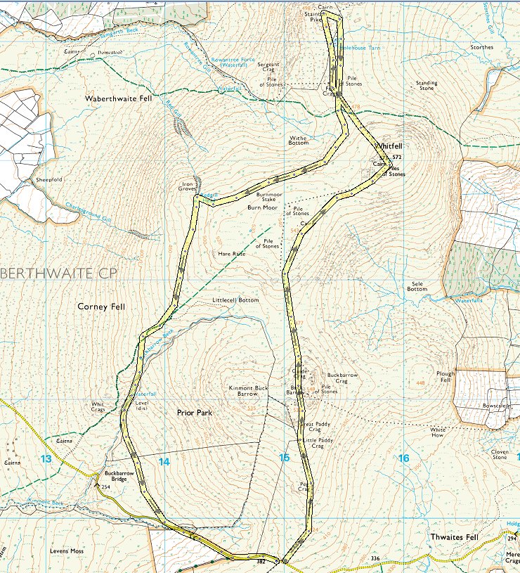
A return to the Stainton Fells for a quick overnighter squeezed in between work and the football.
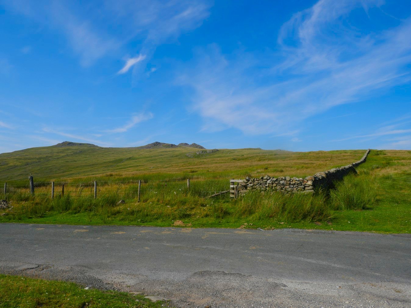
The conditions couldn't have been more different from last week as Emily and I made our way up the gentle slope by the wall headed for Buck Barrow. We arrived around five to avoid the hottest part of the day but it was still around 28 degrees. The heat wasn't our only problem though as every step brought flies and other stinging bugs up out of the grass and with no breeze at all we were both soon stung and bitten.
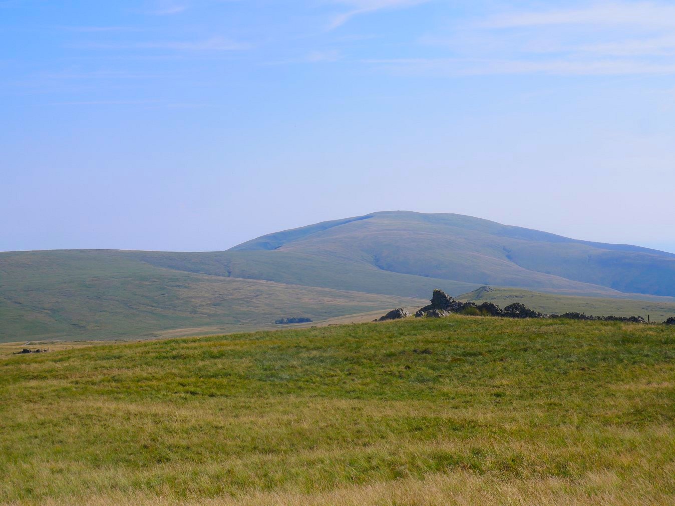
Looking back down the path over the small bump of Stoneside Hill and the trees of Charity Chair to White and Black Combe.
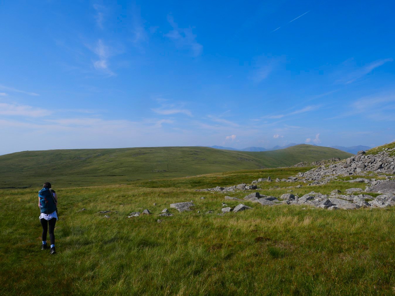
A slight breeze got up as we reached Buck Barrow which gave us a few minutes of respite from the bugs. Unfortunately the breeze disappeared as we dropped the short way down across Littlecell Bottom and the critters resumed their attack.
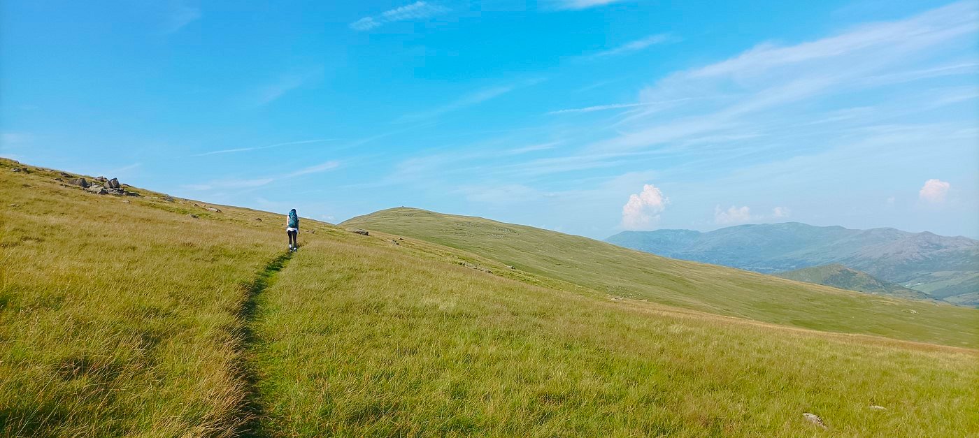
Thankfully as we climbed the slope up to Whitfell the breeze returned and as well as blowing the bugs away now walking was a lot more comfortable.
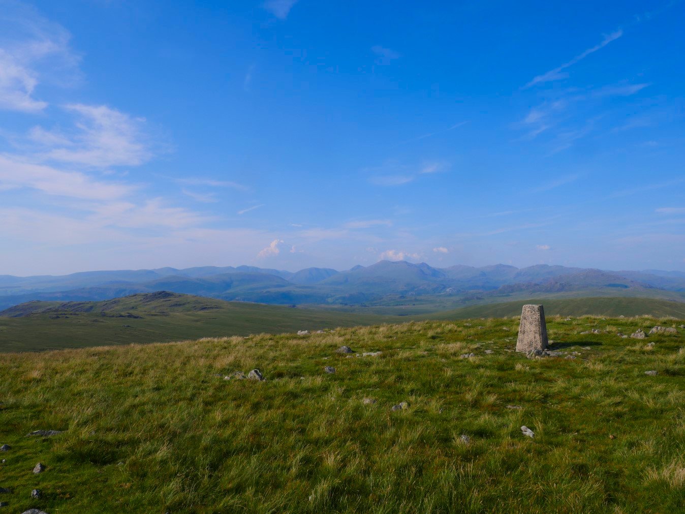
There is an extensive view of the high fells from Whitfell ranging from Seatallen and Haycock on the left to Pillar, Kirk Fell, Great Gable, the Scafell group then Esk Pike, Bowfell and Crinkle Crags.
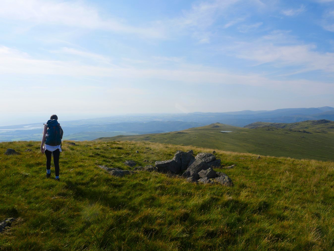
Stainton Pike where we are hoping to camp is the cairned top above Holehouse Tarn.
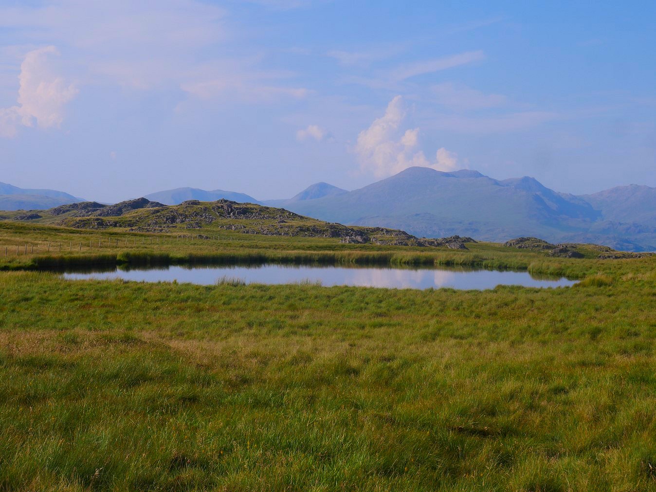
And not to long after descending from Whitfell we arrive at the tarn. It was still much to warm to put the tents up so we found a shaded spot behind Stainton PIke and had our tea
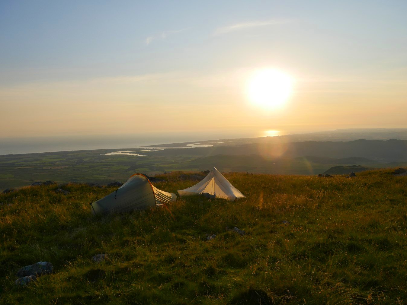
. Later in the afternoon a welcome breeze got up which cooled things down nicely so we put up our tents and admired the sunset.
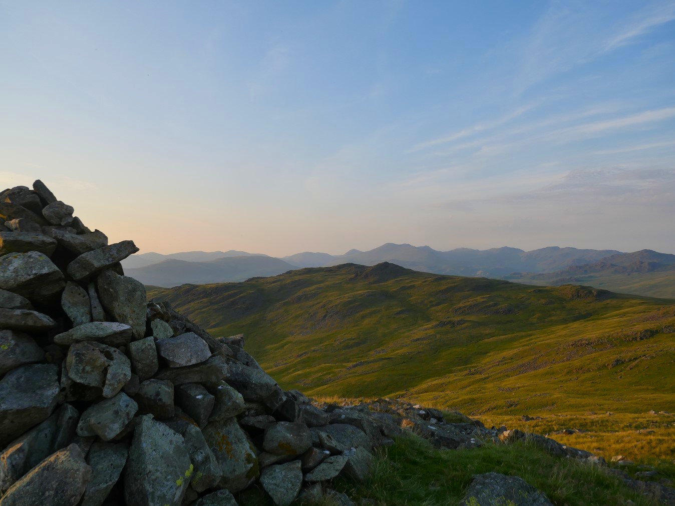
Looking over to Yoadccastle and Woodend Height.
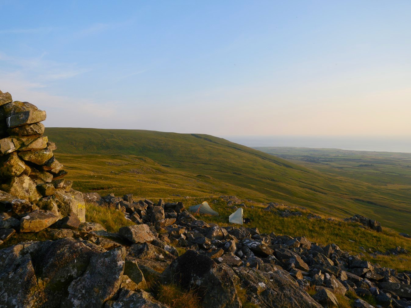
And looking over to Redgill Head which we would be going to visit on our way back tomorrow.
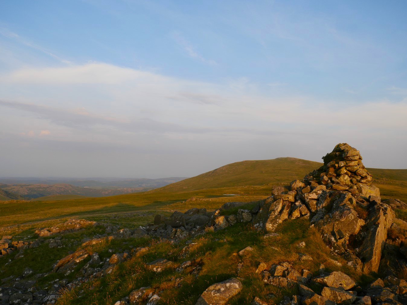
Whitfell.
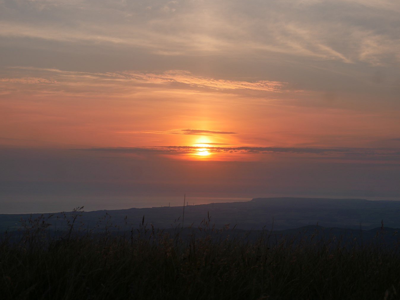
Sunsets are usually good from these western fells and tonight's wasn't bad.
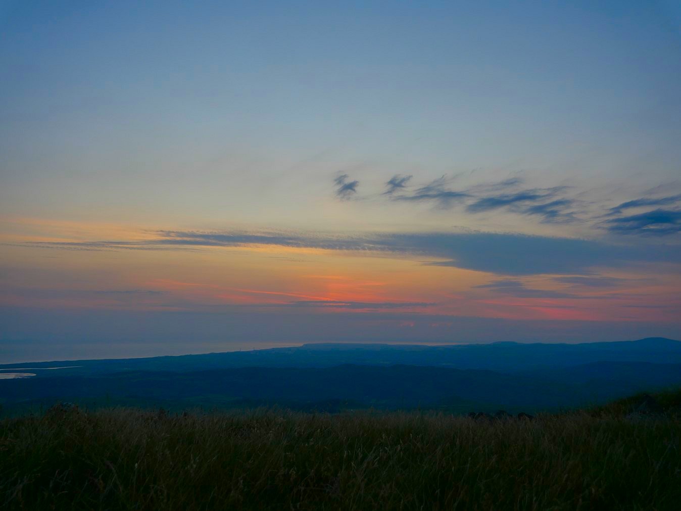
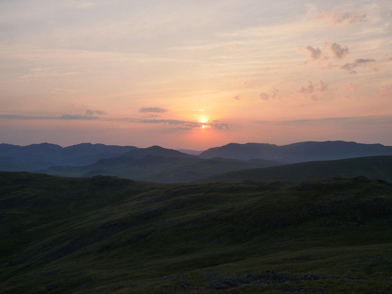
Sunrises are usually good as well.
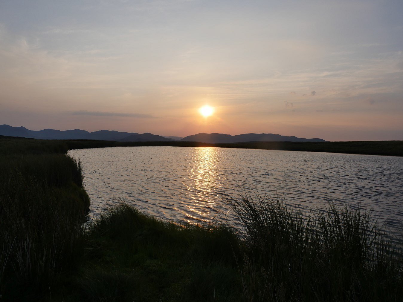
We needed a bit of water so I walked down to the tarn and after collecting our water I couldn't resist an early morning dip.
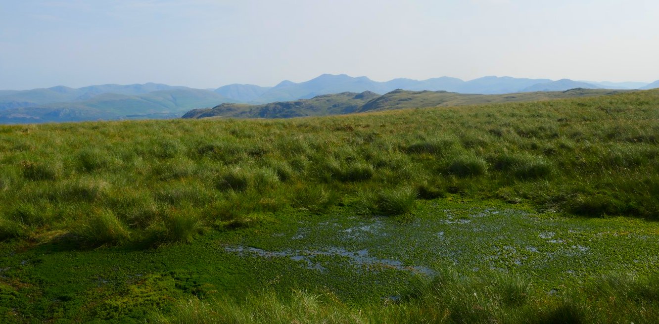
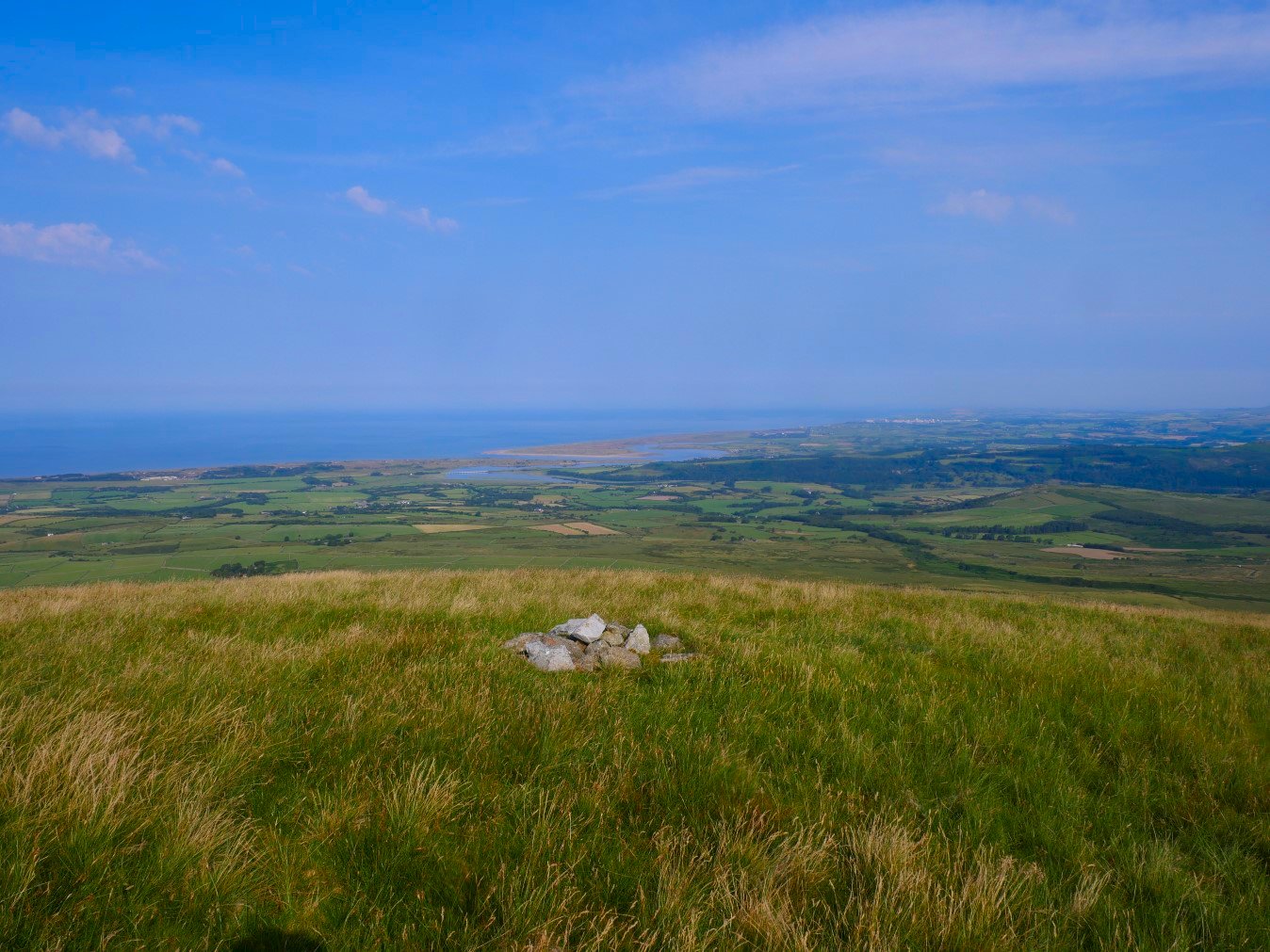
A nice view of the coast and Eskmeals from Redgill Head though.
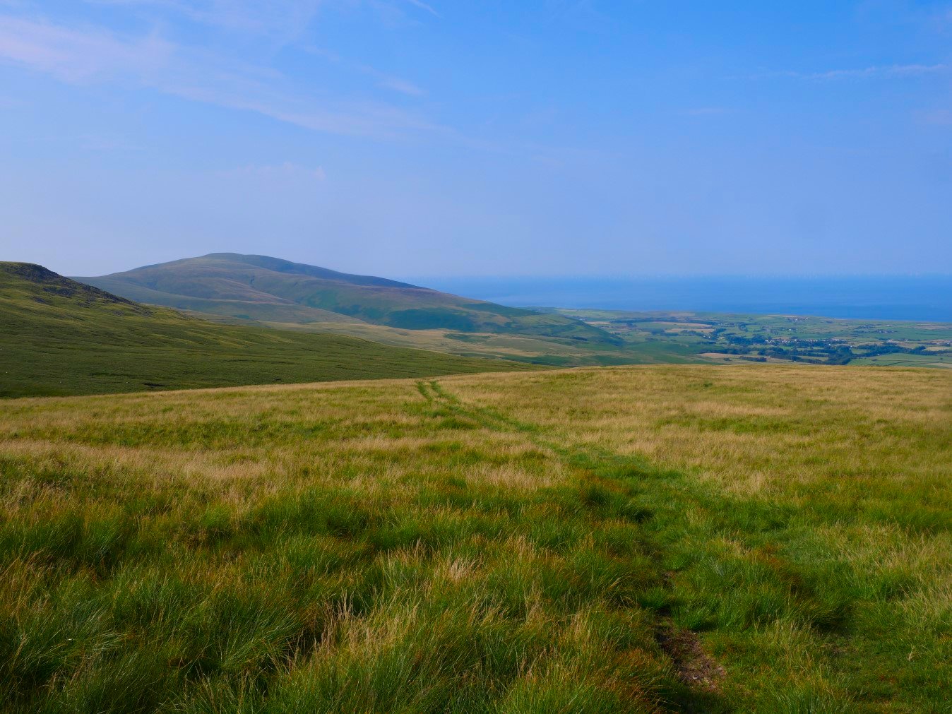
From Redgill Head we had another pathless tramp across the hillside until we met the path descending down towards Buckbarrow Beck.
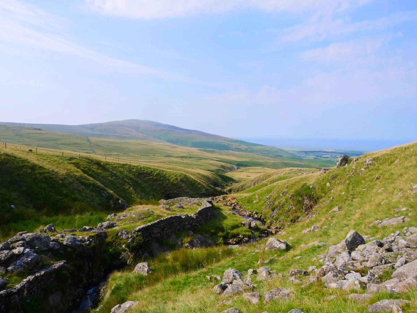
We diverted of the path to follow the beck downhill.
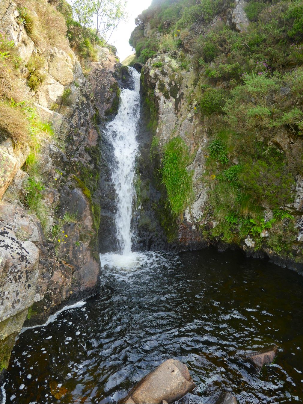
In January 2025 I had walked up this way and had passed this pool and waterfall. January was too cold for a swim but today definitely wasn't so we both had a splash about under the falls and in the pool which was about five foot deep.
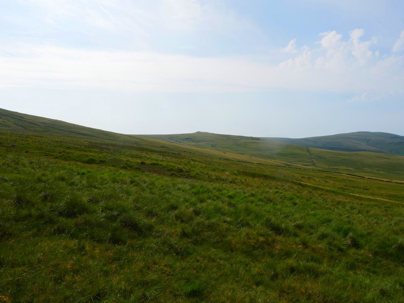
The only downside of following the beck down was that we now had to walk back up the road to the car which is parked just to the left of Stoneside Hill which is the hill in the centre of the photo. We decided to cut the corner which was very wet but did gain us quite a bit of Height.
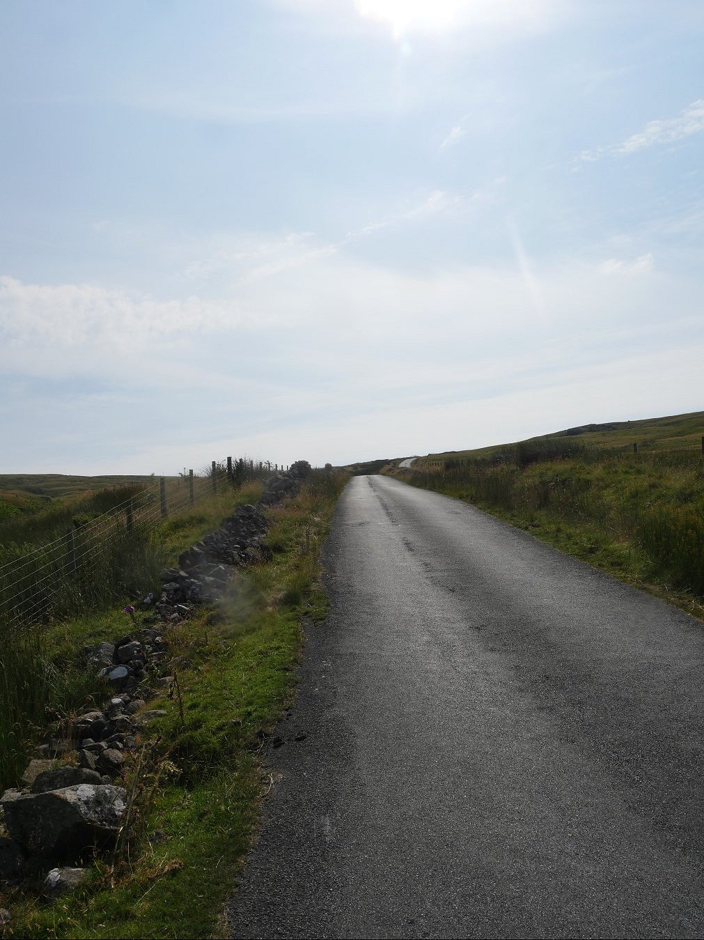
We still had a steep section of road to climb though.
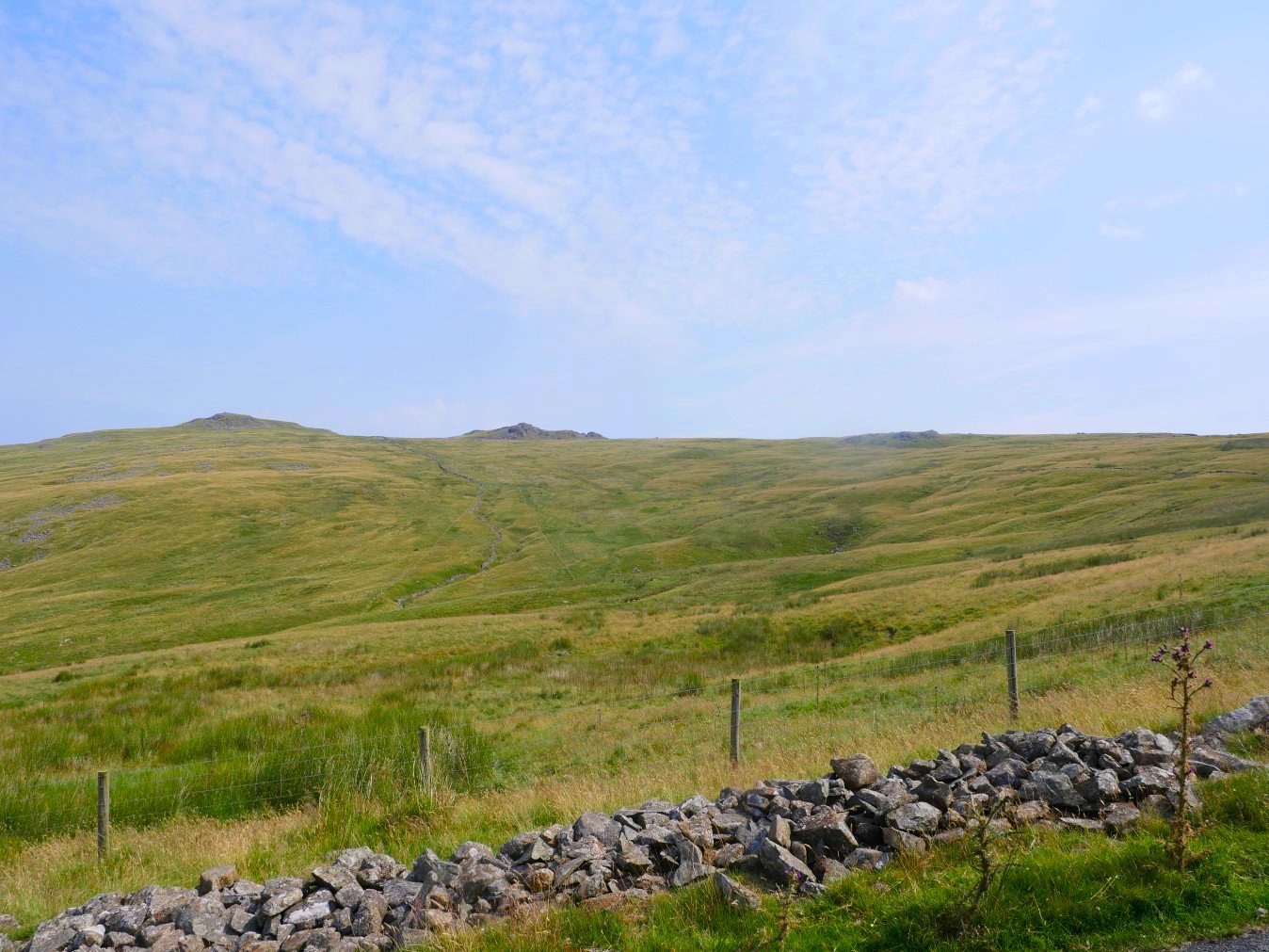
As the Buck Barrow group of fells came in to sight we knew we couldn't be far from the summit of the road and the car.
Previous walk -- Hallthwaites to Ravenglass - Next walk - Scafell Pike from Cockley Beck