WWW.KARLSWALKS.CO.UK
PICTURES AND TRIP REPORTS FROM MY WALKS IN THE ENGLISH LAKE DISTRICT
|
E-mail - karl@karlswalks.co.uk |
So two or three weeks later than planned I was on the scenic rail journey up the west Cumbrian coast heading for Bootle station which was a new starting point for me..
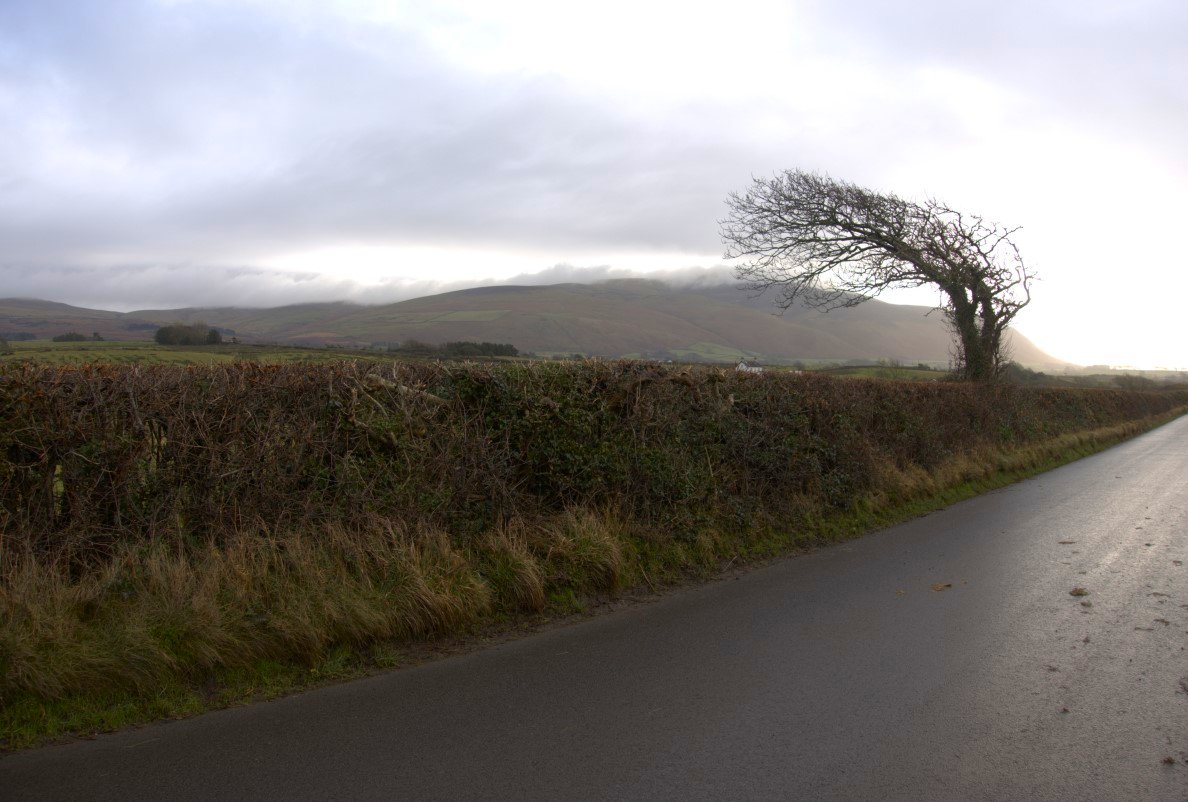
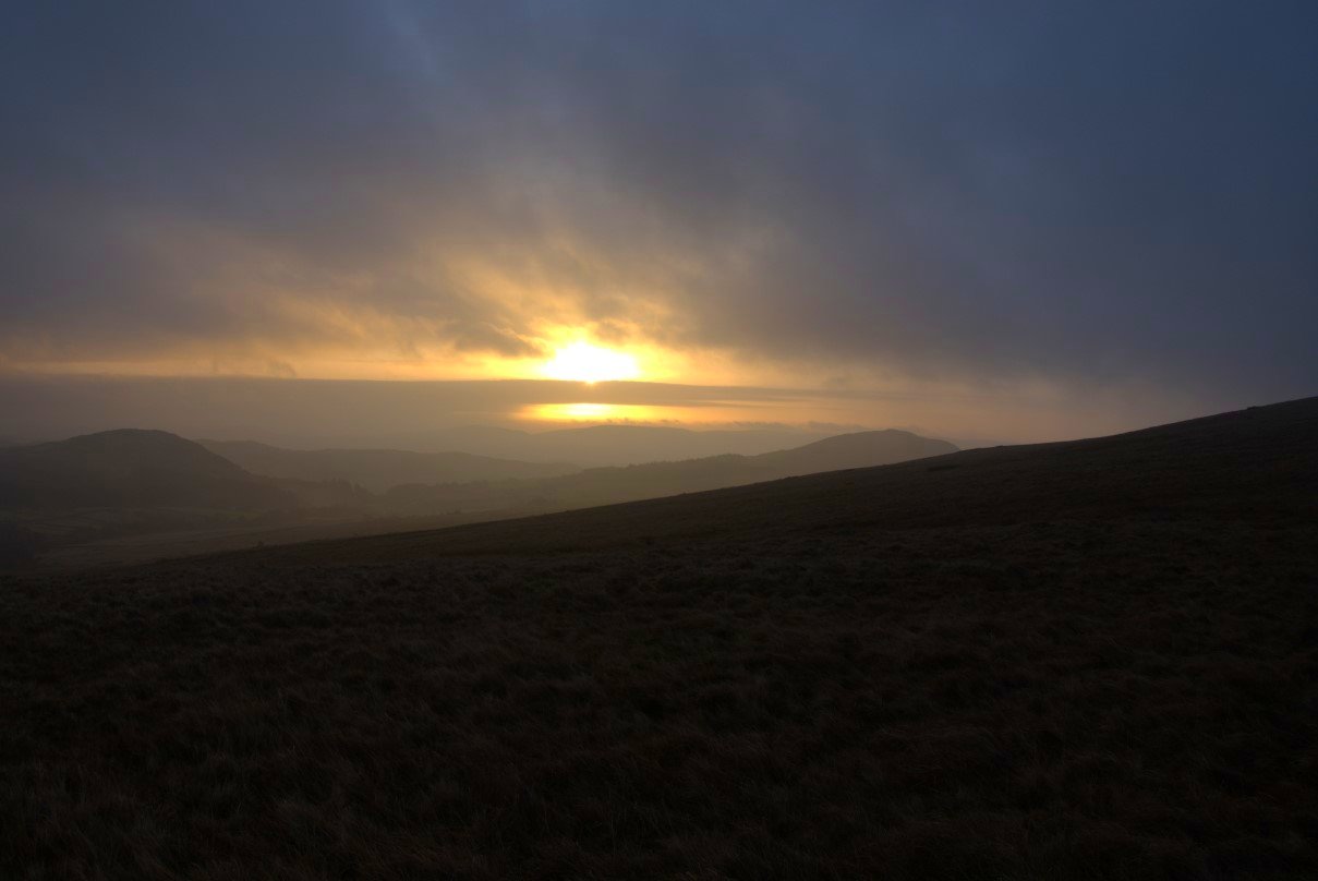
The weather forecast was for two cloudy but mainly dry days with perhaps a little rain overnight and it was dry but cloudy when I left the train. There was a little bit of road walking to do before I started the climb to the fells. This is looking over to Black Combe and it does look like westerly winds are not unheard of here.
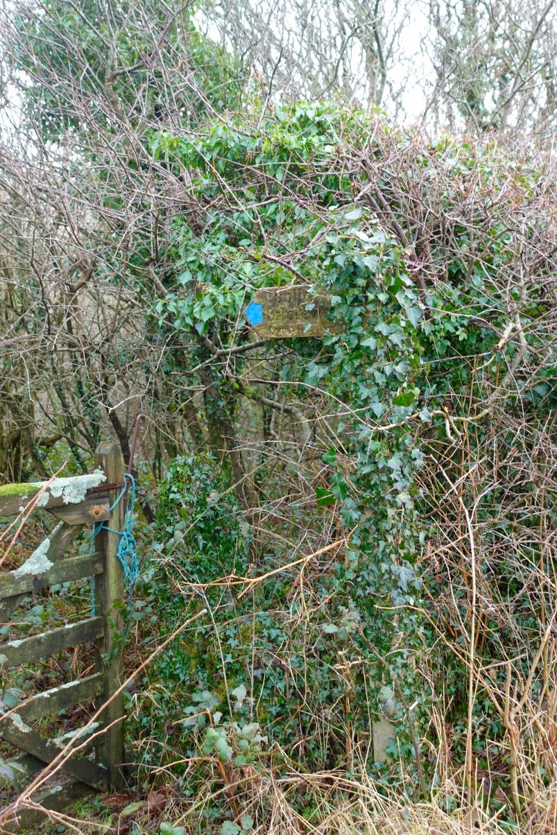
I left the road to walk through Kinmont Wood and even though I had the map in hand and was looking for it I still managed to walk past this well camouflaged signpost.
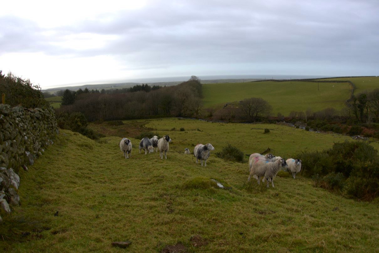
After leaving the wood the path crosses farmland gently climbing all the time to the Corney Fell road. Kinmont Wood is below with the coast in the distance.
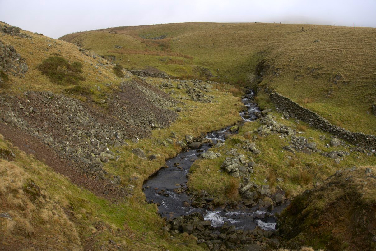
As I neared the road I thought I'd hear it before seeing it but I'd forgotten that it's closed for work on Buckbarrow bridge so it was a bit of a surprise when I reached it. After crossing the road the scenery becomes a little more wild, a narrow but clear trod climbs into the hills but I diverted off as I wanted to try and follow Buckbarrow Beck to see if there were any interesting cascades and pools.
.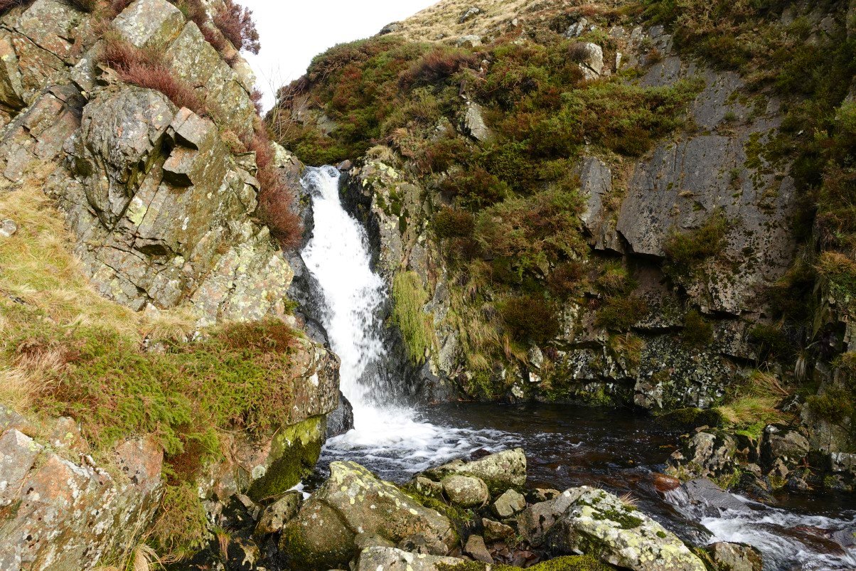
And there was one. The pool was quite deep but It's definitely too early in the year for a dip.

As you can see the weather has improved with quite a bit of blue sky above, it was still quite chilly in the breeze though. I'm still following the beck uphill.
Looking back to the road and Bootle Fell.

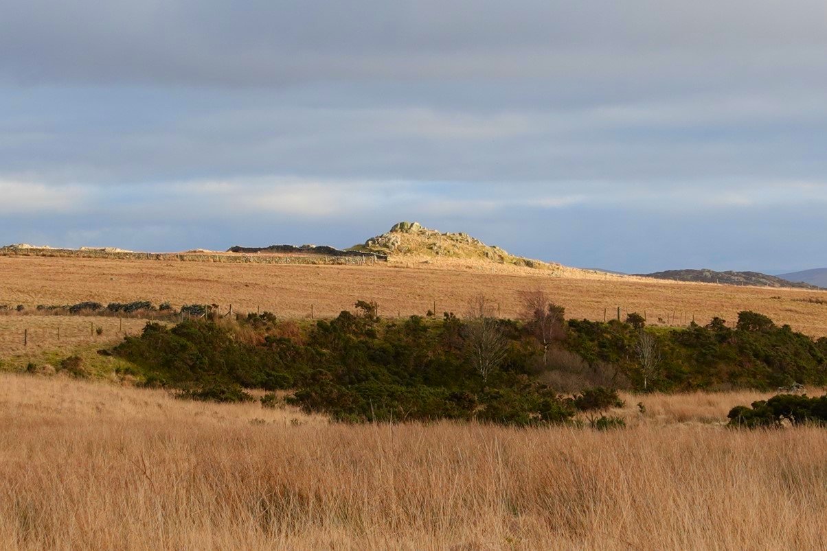
Above me is Kinmont Buck Barrow. From around here the beck petered out into bog and it was quite a splodgy plod for what felt like hours across Littlecell Bottom until I reached dry land on the edge of Buckbarrow.
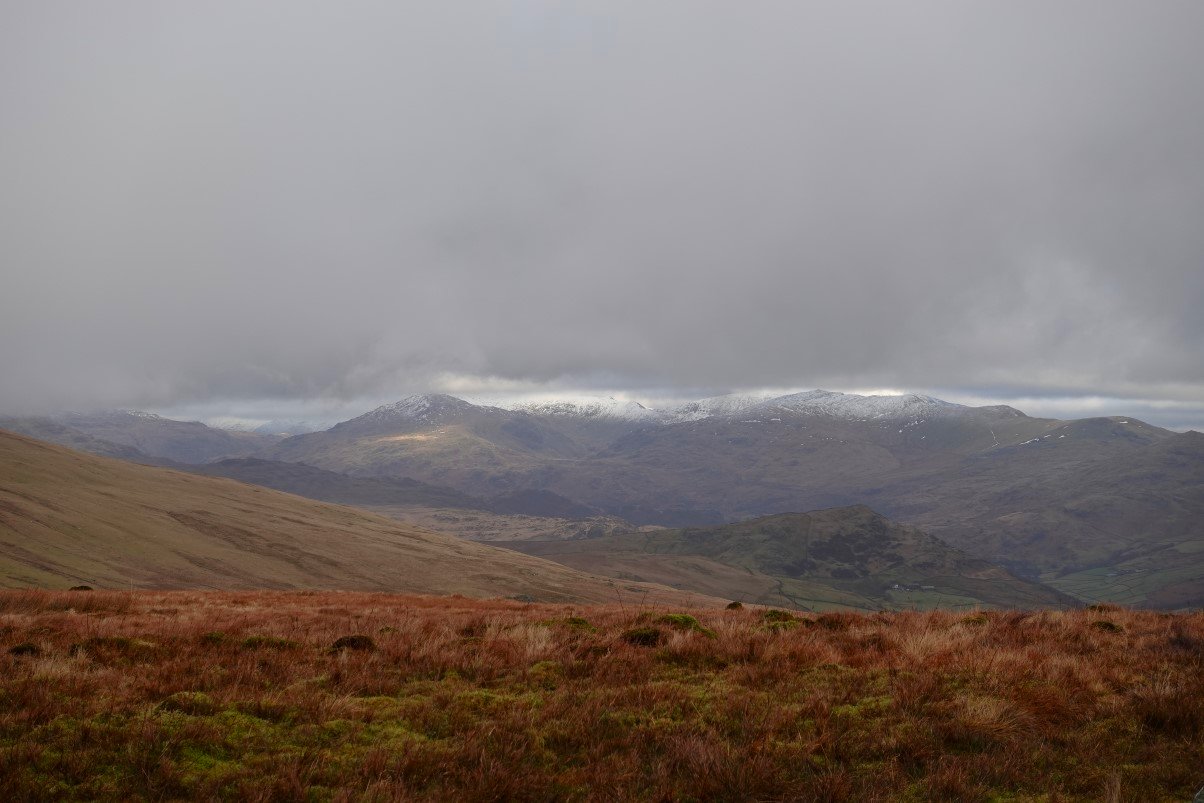
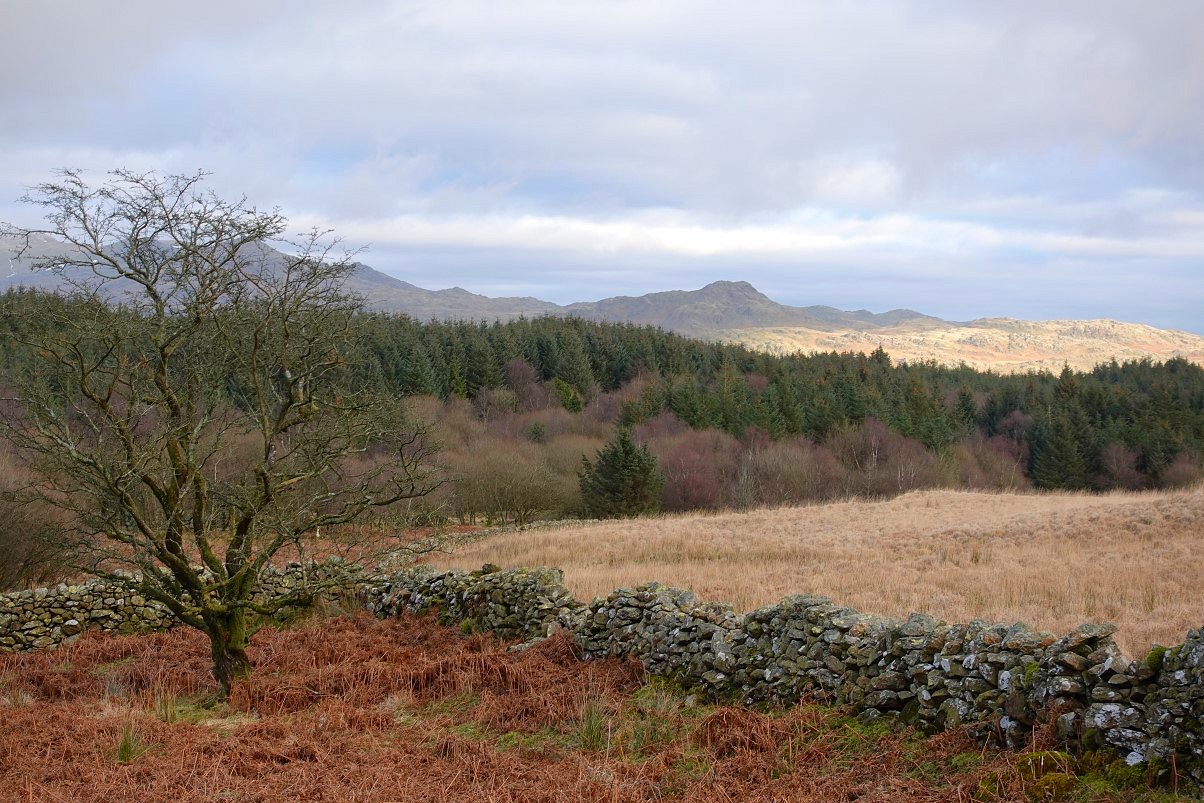
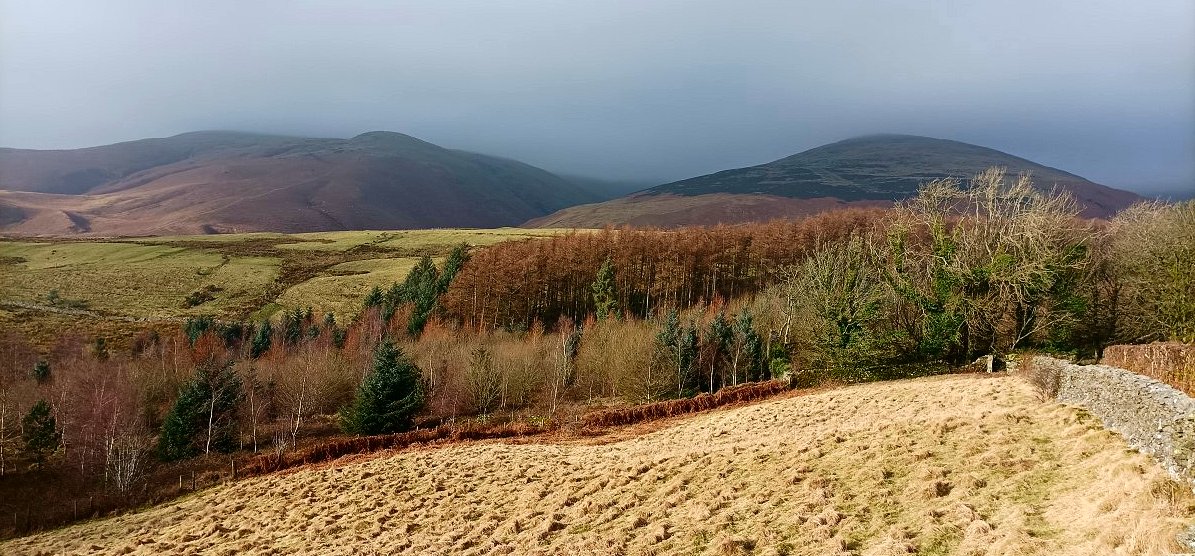
Lovely view of Grey Friar and the Coniston fells from below Buckbarrow. The pointed fell below is The Pike.
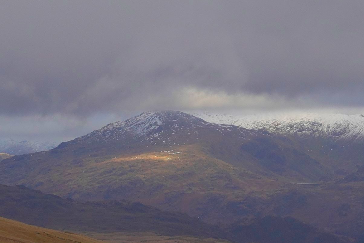
Zooming in on Grey Friar with Seathwaite Tarn to the right.
It was back to the boggy stuff as I traversed the slopes of Plough Fell. The trees you can see in the centre of the photo are were I'm heading.
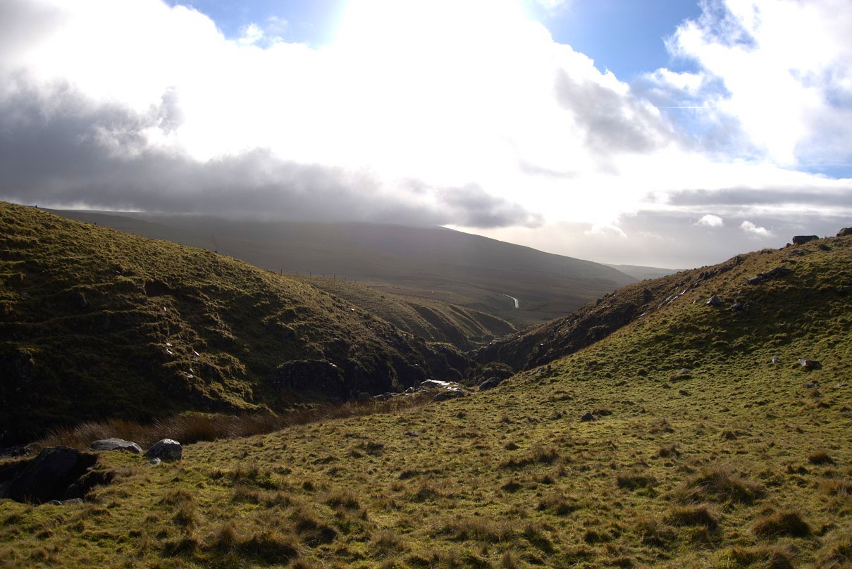
On the descent from Plough Fell now I headed down to Logan Beck where the map said there were some waterfalls.
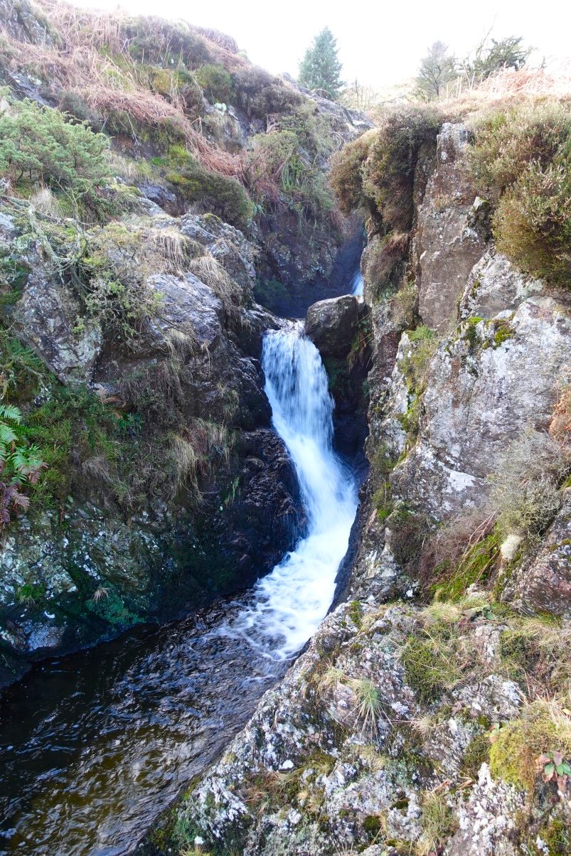
The map was correct there were some quite impressive cascades but they were set deeply in the rock and were quite hard to access.
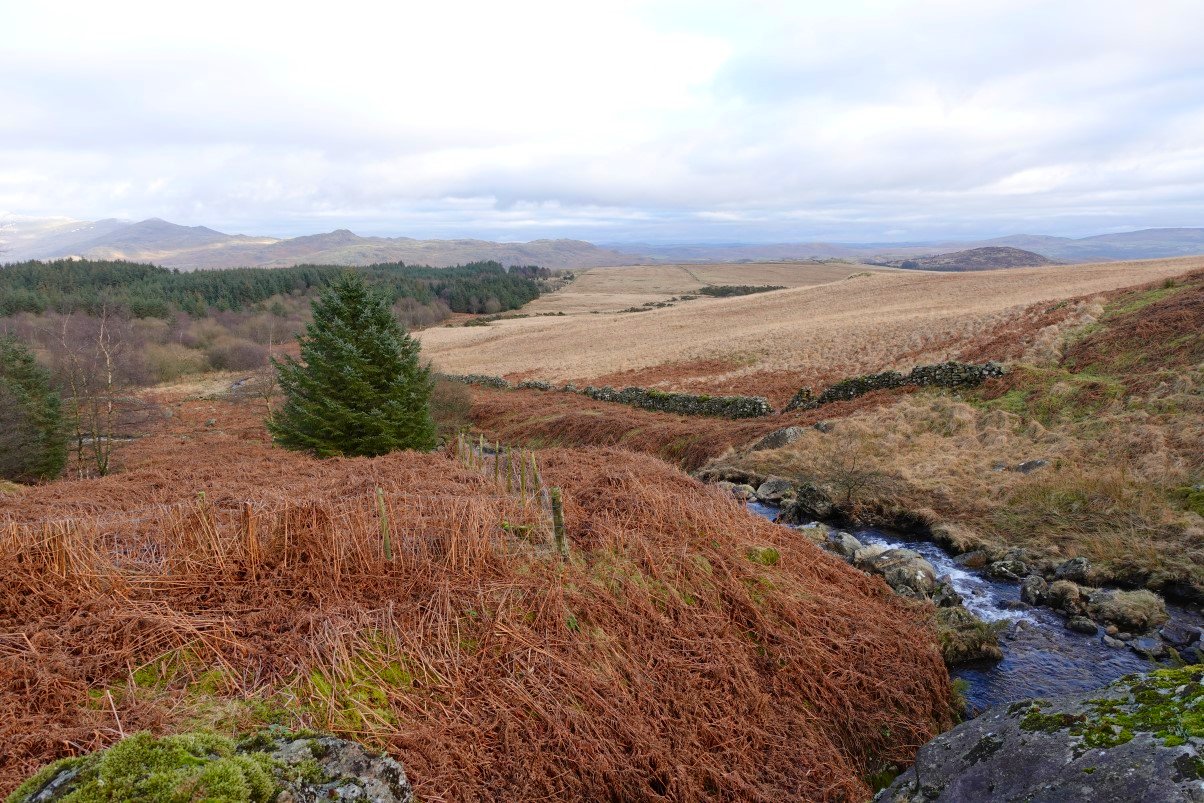
I now followed Logan Beck downstream there were traces of a path but mostly the ground was very tussocky and wet and I did start to wonder if I would find a suitable camp spot.
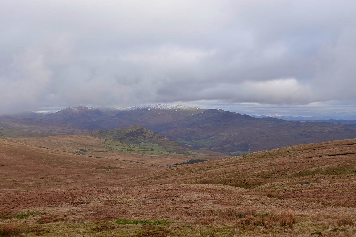
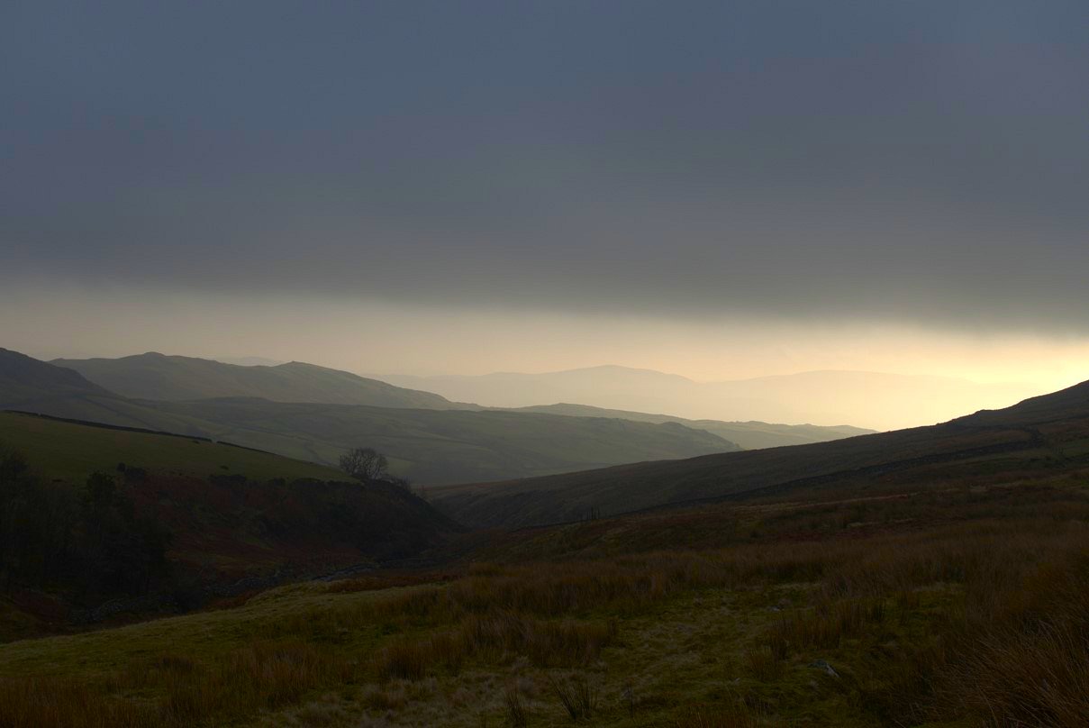
Despite the heavy going I thought this was a lovely remote area. I hadn't seen another person since I left the train ( and apart from the farmer at Swinside saw nobody the next day ). Stickle Pike is the hill ahead and Caw is hidden behind the tree.
Looking back up to Plough Fell
The little bump of Whelpsty How is picked out by the sun. I did consider going across and camping there but I was getting a bit tired of tussock hopping and luckily there was a nice bit of green grass around the copper mine.
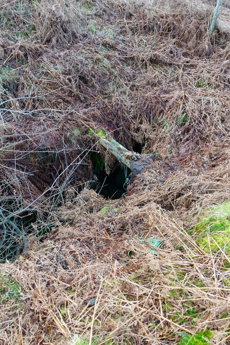
There were a couple of open shafts. This one with a rope dangling in.
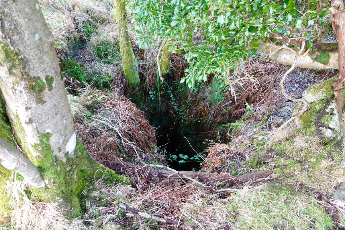
And a larger shaft which I kept well away from.
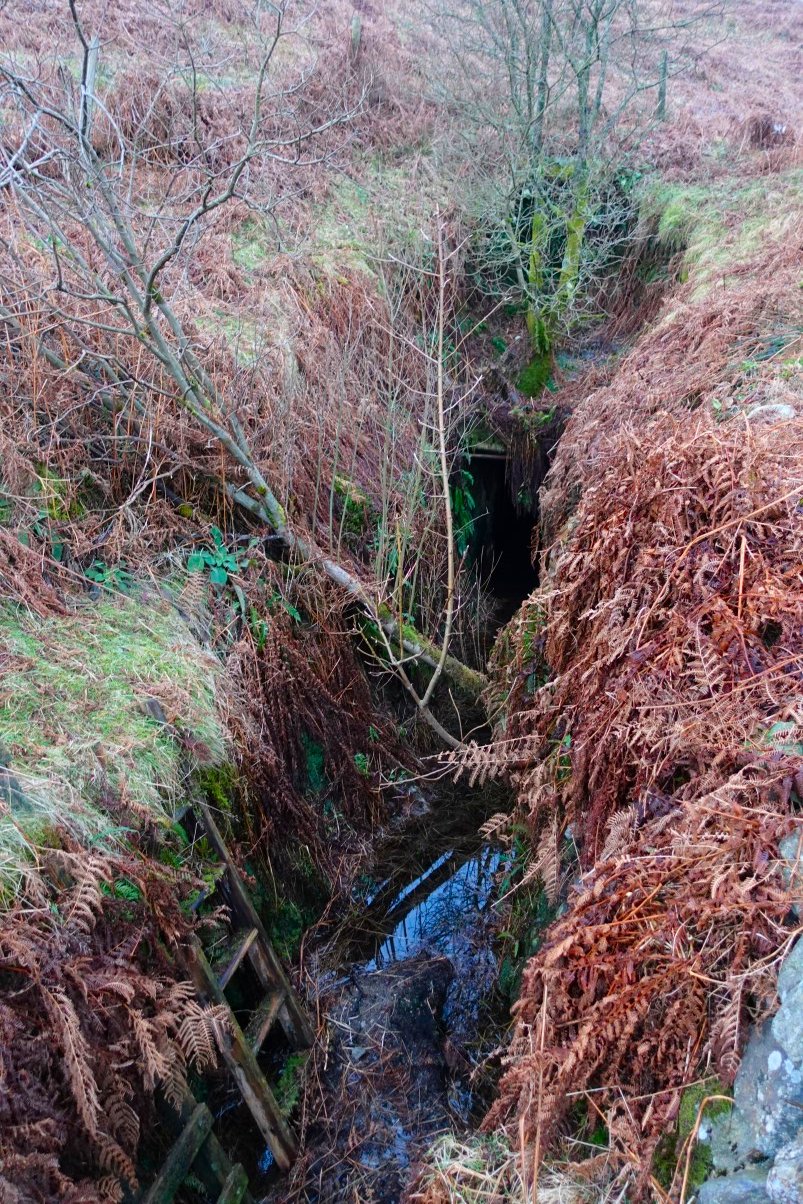
A few yards away was the open level, the water was too deep for any serious exploring.
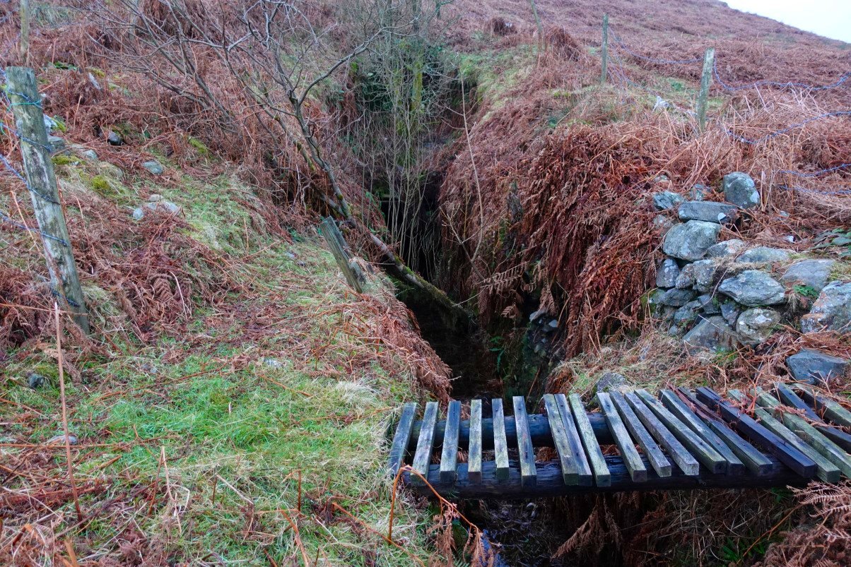
I took the previous photo stood on this bridge which was a lot more sturdy than it looks.
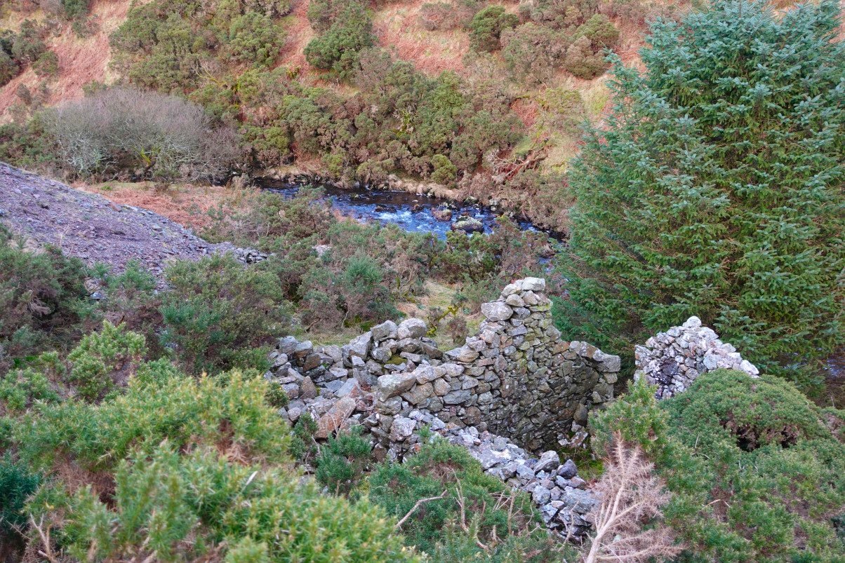
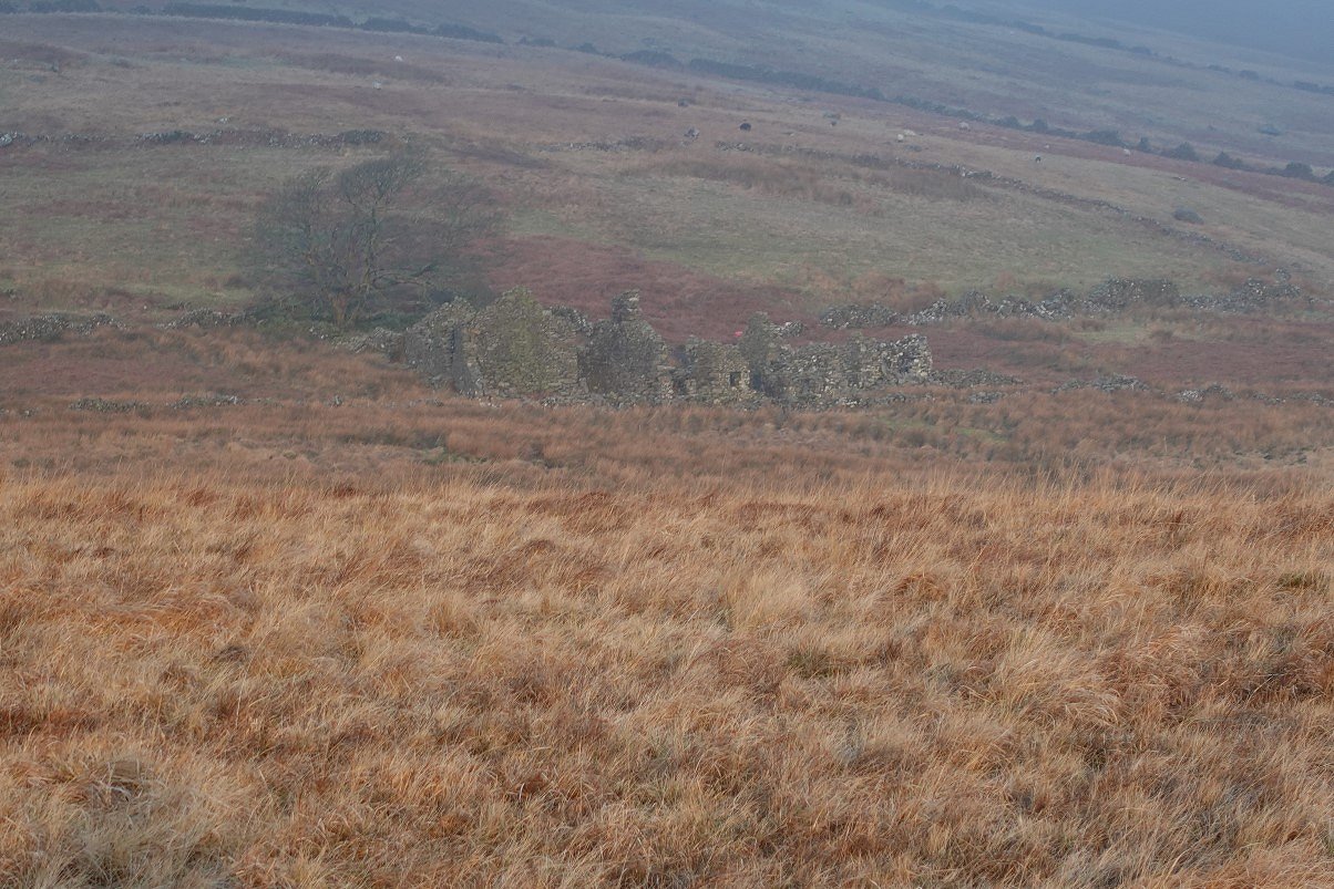
Old ruin next to Logan Beck.
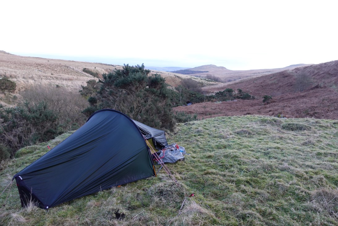
And the tent of an old ruin. I had a very comfortable night, it wasn't overly cold and there wasn't a breath of wind.
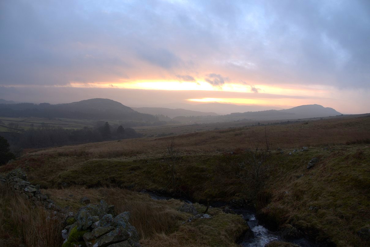
I had a ticket fro the midday train so set out at first light. The sun rose as I reached Bowscale Beck which I crossed and headed up the trackless grass aiming for the Corney Fell road.
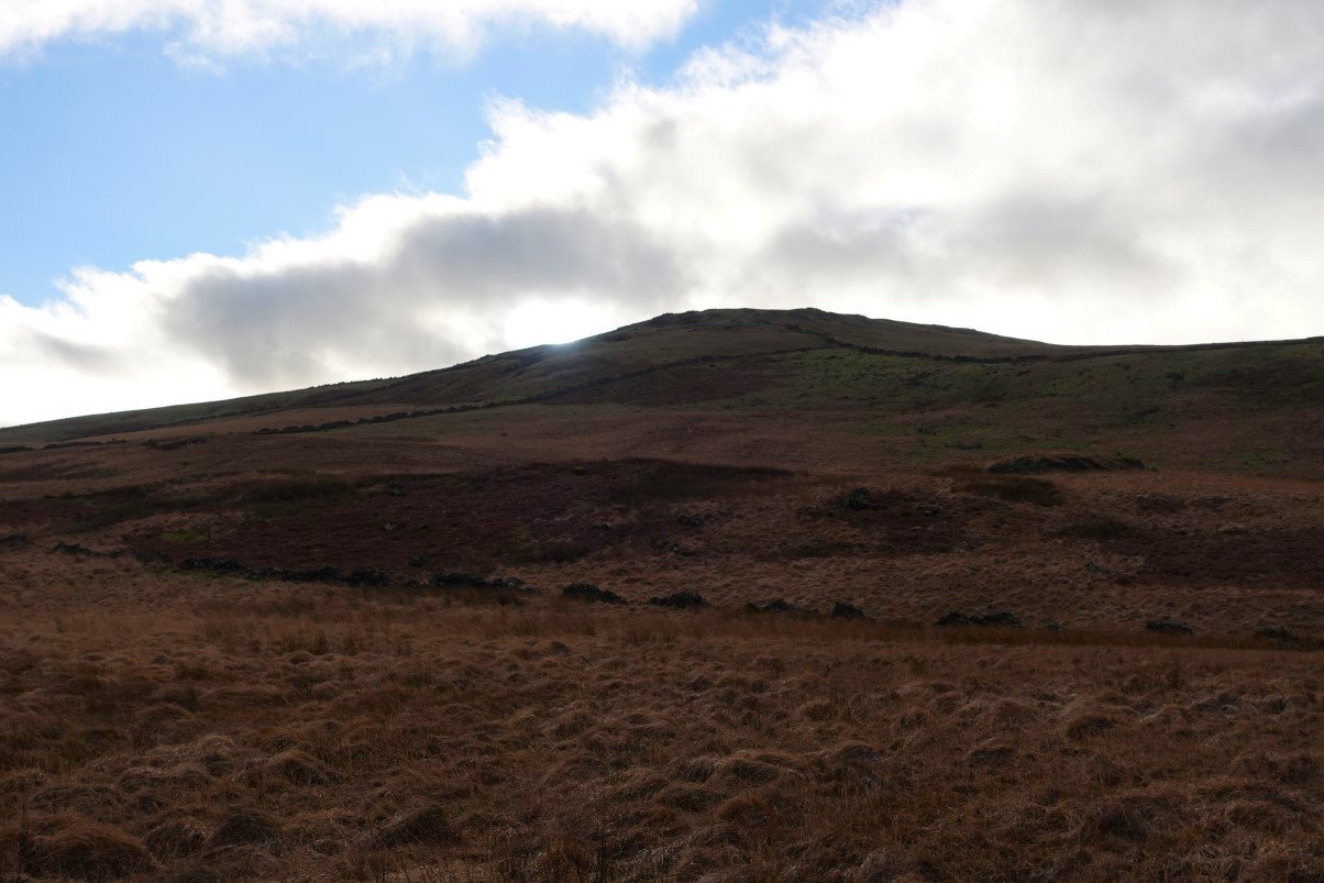
The hill on the left is Penn and on the right is Barrow.
Passing the extensive ruins of Bowscale farm.
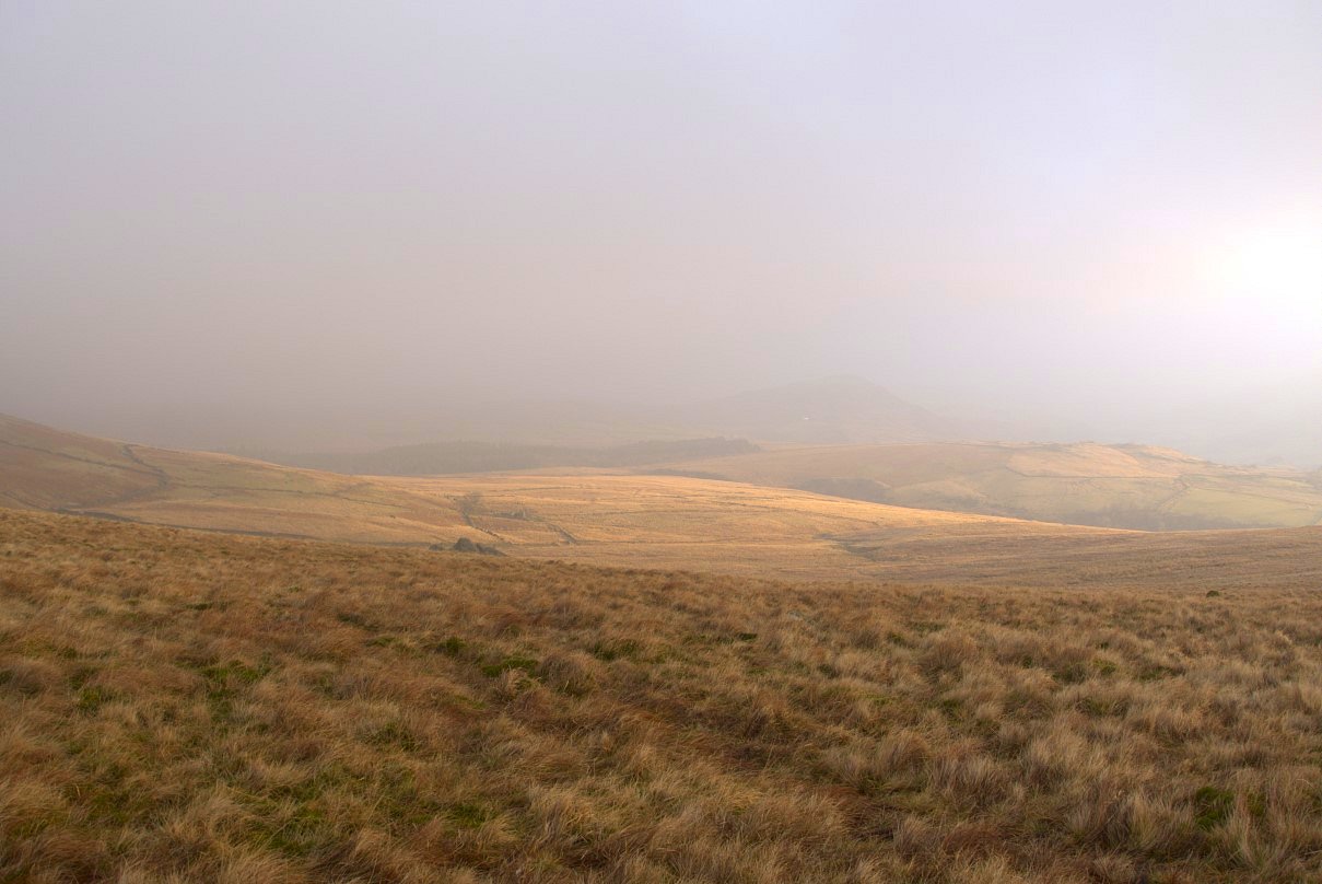
Looking back over the moor from where I'd come.
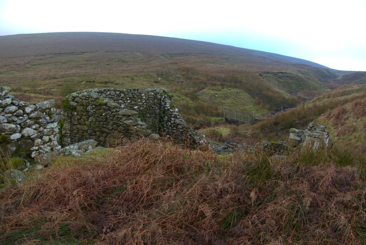
After reaching the road I took a track which brought me out at another old hut and footbridge over Peathouse Beck.
From here on there was a very clear path on a small elevated dyke which was lovely to walk on after all the bogs and tussocks I'd crossed so far.
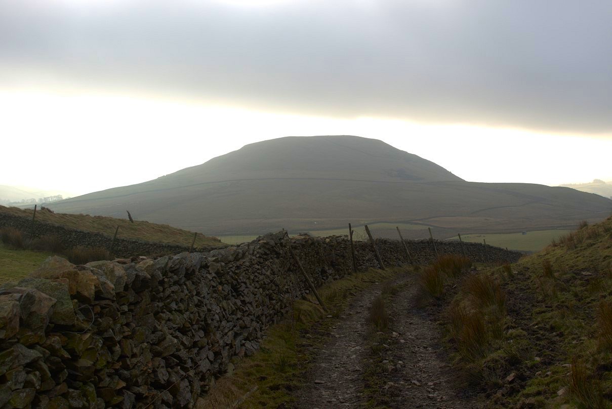
The dyke ended at a track which I followed down to Swinside. I was impressed with Knott Hill which is only 281 mtrs in height but seemed to dominate the scene from all around.
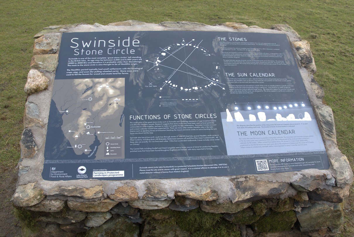
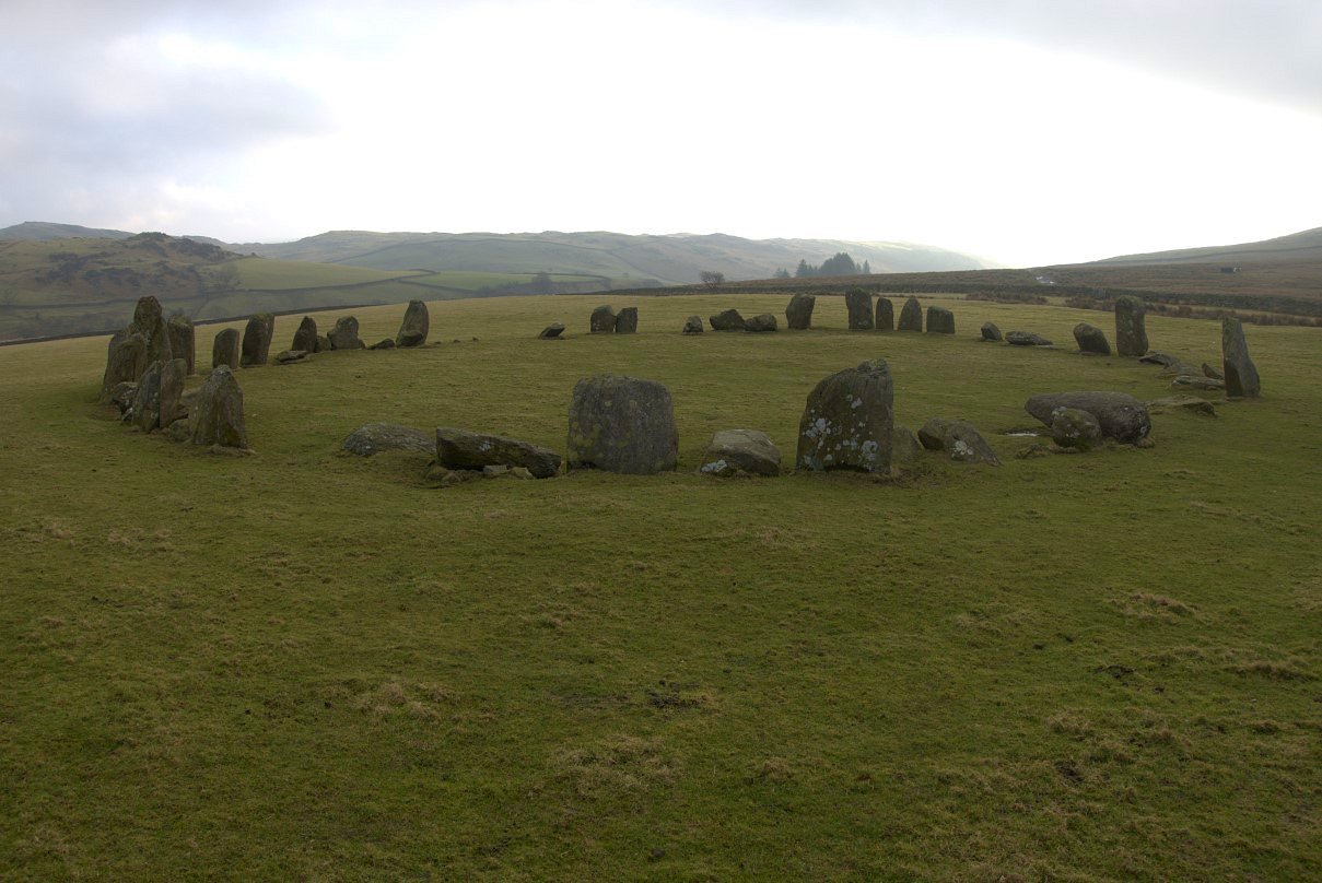
I was also impressed with Swinside stone circle which was larger than I was expecting.
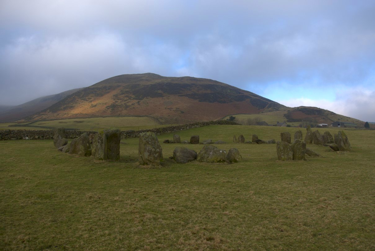
Swinside farm and Raven Crag behind. My path came over the little saddle on the right above the farm.
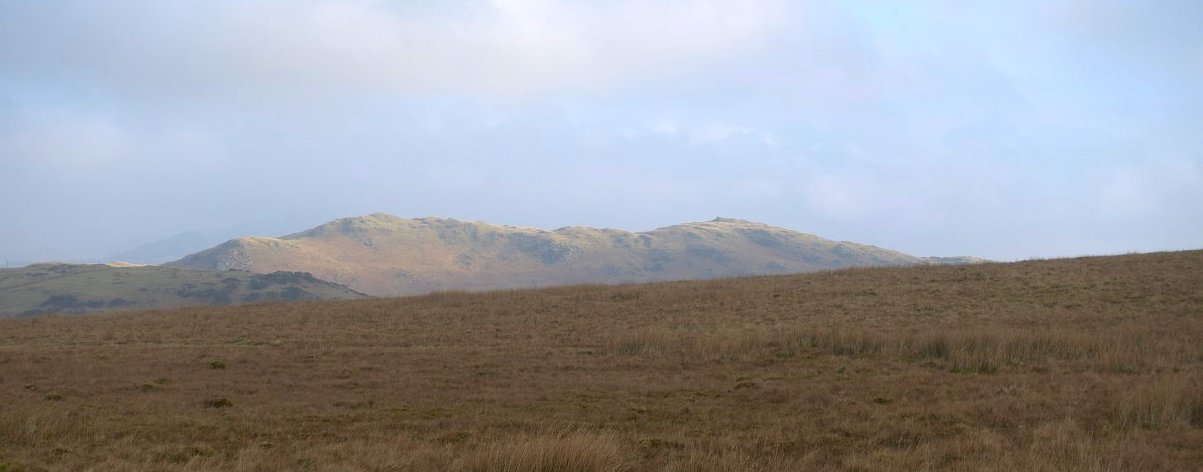
The Blawith fells and Burney stand out in the morning sunshine.
More boggy stuff had to be tackled but the path improved as I passed the ruins of Knottend This is looking over to White and Black Combe.
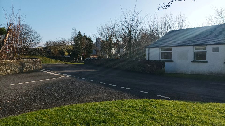
After a short road walk I reached The Green. Unfortunately the village pub has shut down so I passed the time waiting for the train by making a brew sat in the sunshine on the bench on the small village green.
Previous walk -- A round from Staveley - Next walk - Great Langdale to Skelwith Bridge via Little Stand