WWW.KARLSWALKS.CO.UK
PICTURES AND TRIP REPORTS FROM MY WALKS IN THE ENGLISH LAKE DISTRICT
|
E-mail - karl@karlswalks.co.uk |
I thought I'd take a chance on a far from perfect weather forecast and although the high fells were all in cloud, Saturday in particular was a much better day than forecast although Sunday's weather was as predicted, warm and wet.
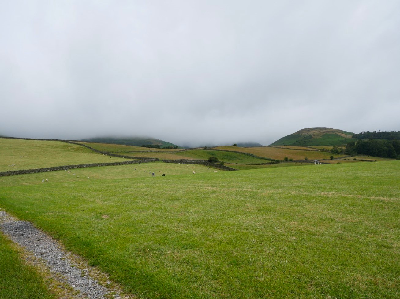
It was a nice bright and dry morning when I parked up by St. Anne's church and after quickly scurrying up the busy A595 I reached the path crossing the fields heading for Swinside where it looks like the cloud is waiting for me.
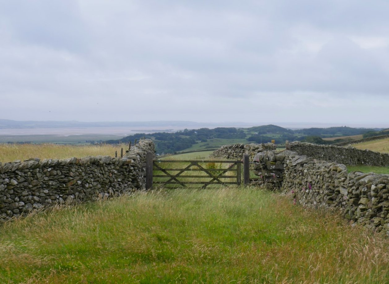
It's quite clear out over the Duddon Estuary.
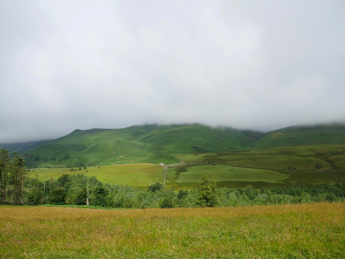
Looking over to White Combe.
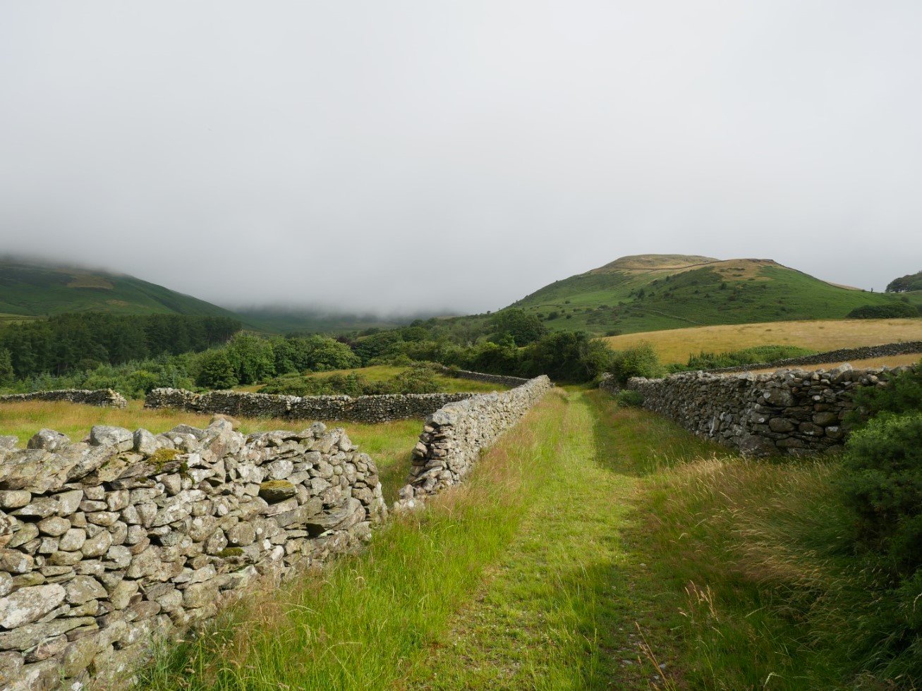
I think I've mentioned before that I really like this path. It winds its way between the walls heading for the ruined farm at Knottend. Knott Hill is the hill ahead and once again I remind myself that I've yet to climb it. I'll get around to it one day!
.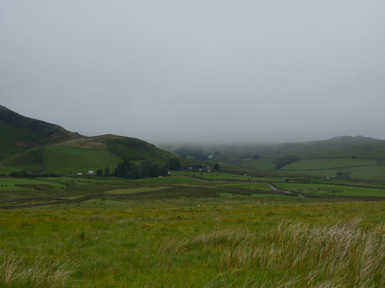
Things look a bit darker over in the direction of Swinside.
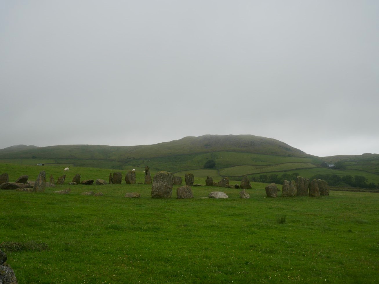
Swinside ( or Sunkenkirk as it's named on the O/S map ) stone circle.
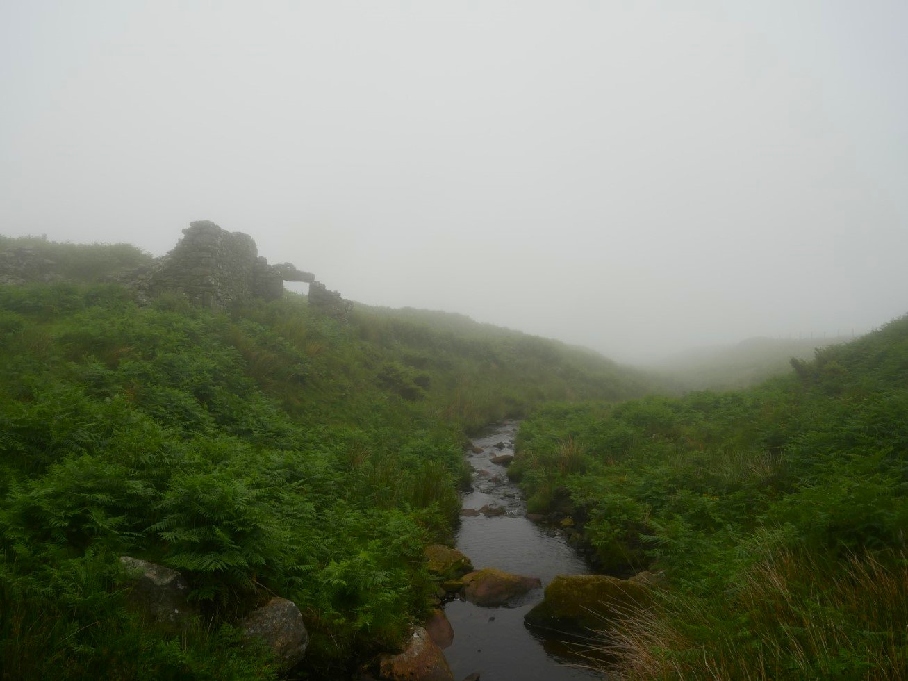
As I passed through the farm and climbed around the shoulder of Raven Crag all my views disappeared but the path to the footbridge over Peathouse Beck is very good and quite clear. From here though the path covering the last couple of hundred yards to the Corney Fell Rd is neither good or clear I soon lost the line so ended up just slanting my way uphill across the bogs till I reached the road.
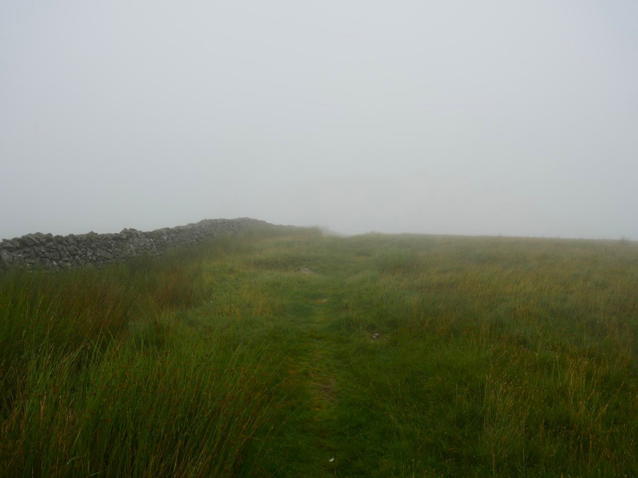
After walking up the road for around half a mile I turned right and followed the wall up towards the Buck Barrow fells. Again not much in the way of views.
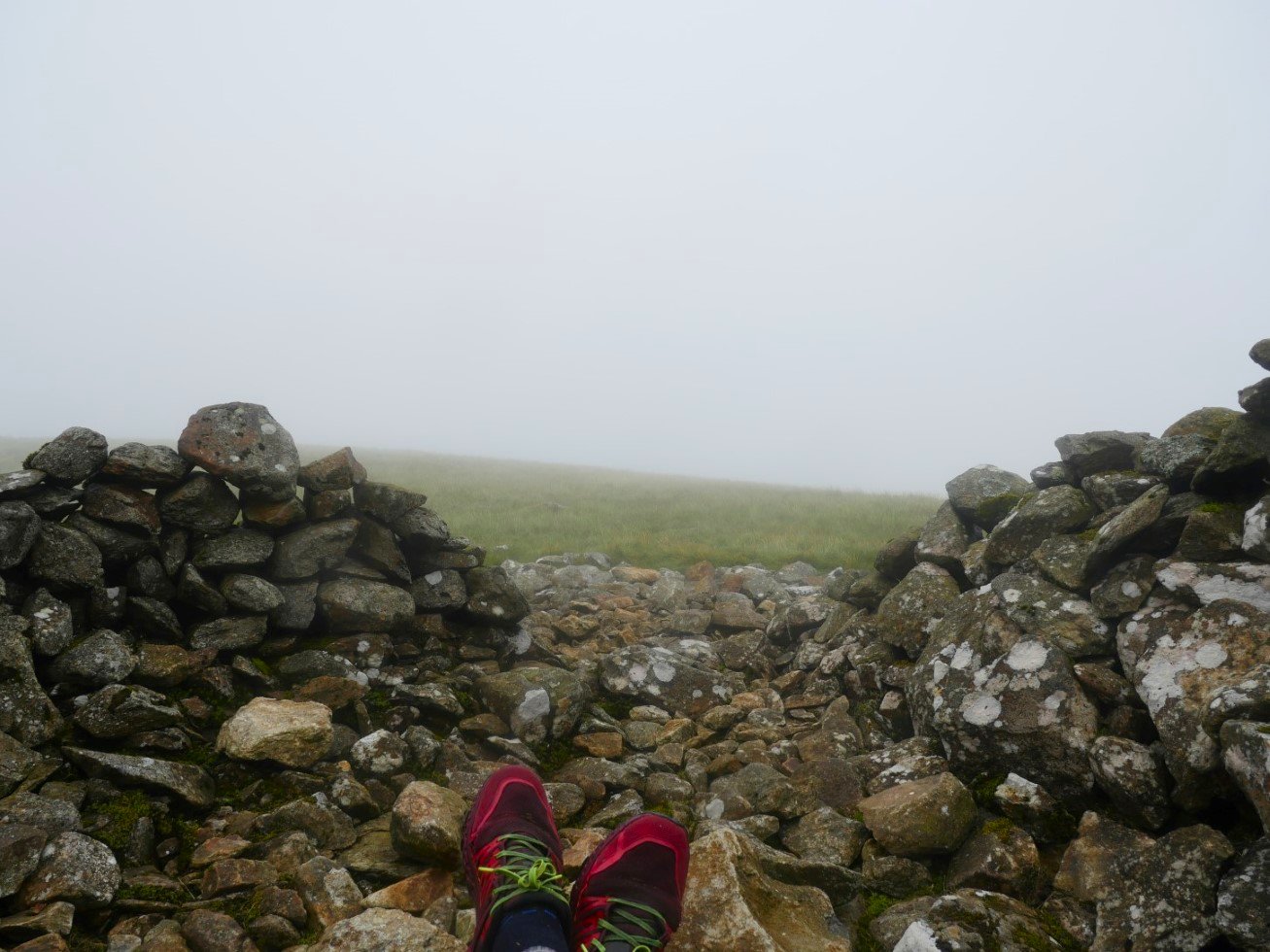
It took quite a bit of concentration and close reading of the map to find the grassy path which leads you up to Whitfell where I have a quick break in the wind shelter.
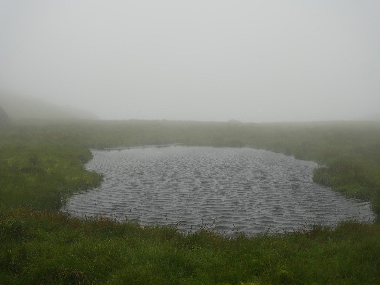
From Whitfell I dropped steeply down towards what I should think that if you were coming here for the first time in these conditions would be a test of your nav skills. As I've done this stretch several times I know to keep any rock bits on your left and be careful not to drift downhill towards Storthes. In around forty minutes you'll arrive below Yodcastle, and in the hollow between Yoadcastle and Woodend Heights is the tiny tarn which just as last time I was here is giving a good indication of the windspeed and direction.
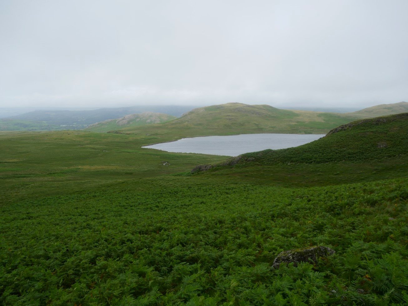
From the little tarn I followed a path which led my downhill skirting under White Pike. I diverted off the path to climb Stord's Hill which unfortunately was still in the clag. Eventually I descended enough that views returned, Devoke Water is below over the bracken and hidden rocks which I struggled across.
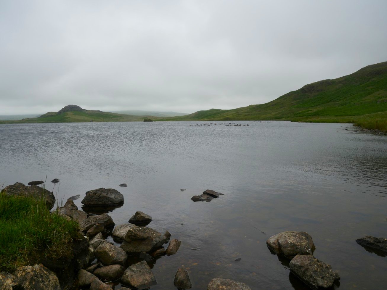
Looking along Devoke Water past the geese to Seat How.
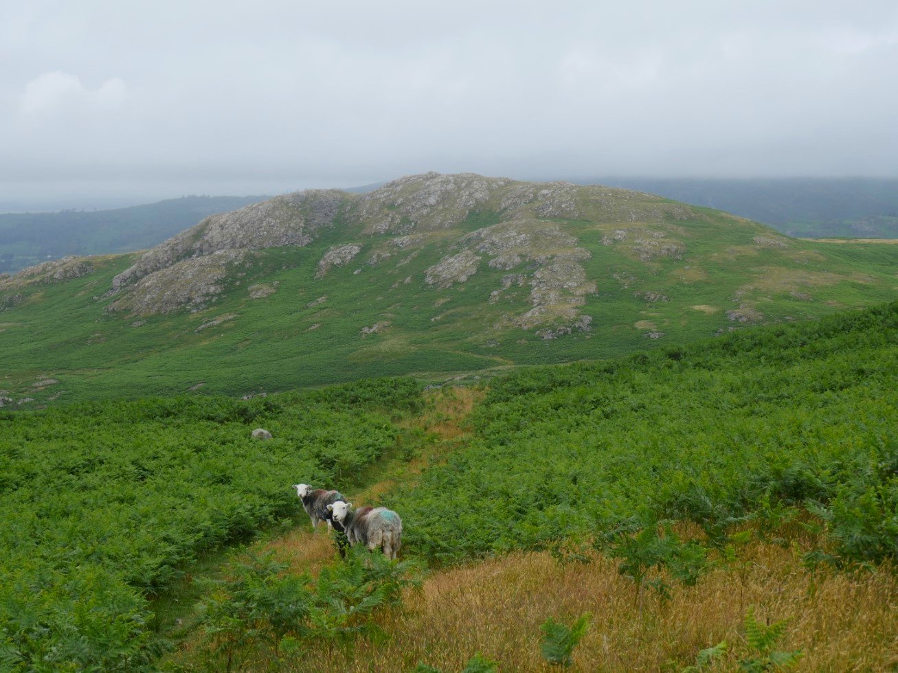
I had planned to camp on the top of Brantrake Crag which is the hill ahead but when I reached the base of the fell I couldn't find a route up that didn't involve fighting my way through chest high bracken.
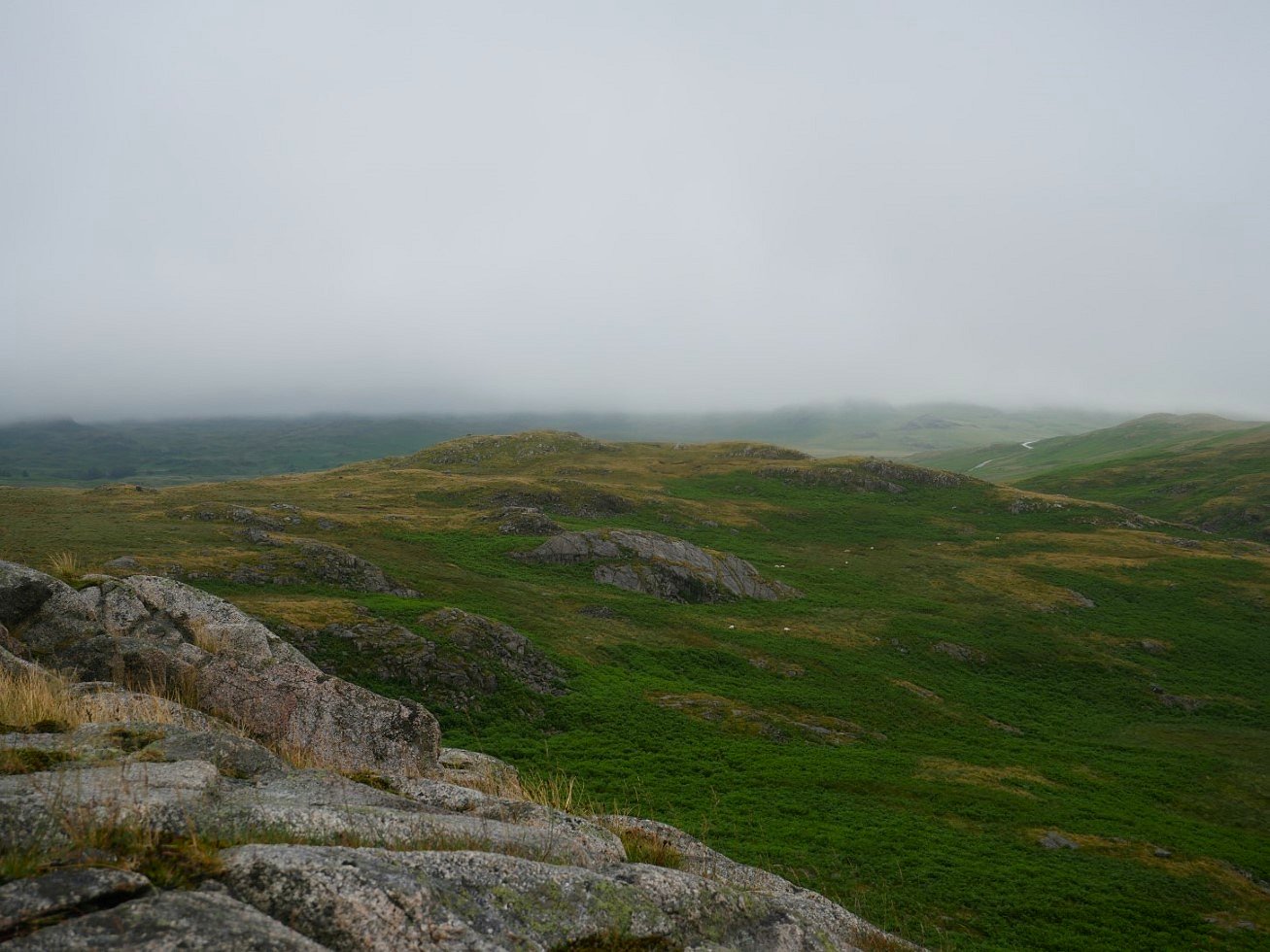
So I had a change of plan and decided to try the slightly lower top on the other side of Brantrake Moss.
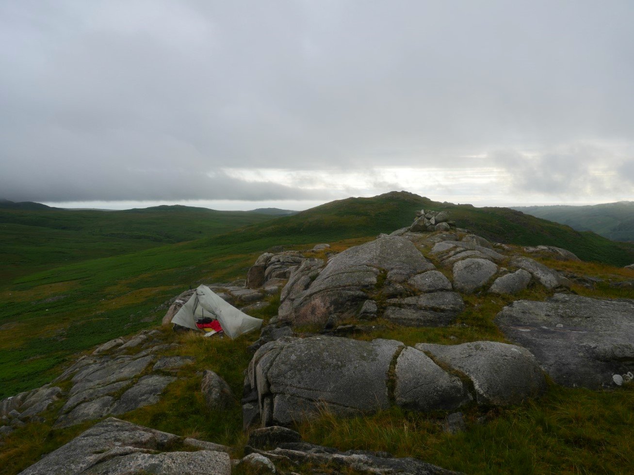
I found a nice spot just by the summit cairn. The map says this top is only ten meters lower than the main top but from here the main top looks a lot higher.
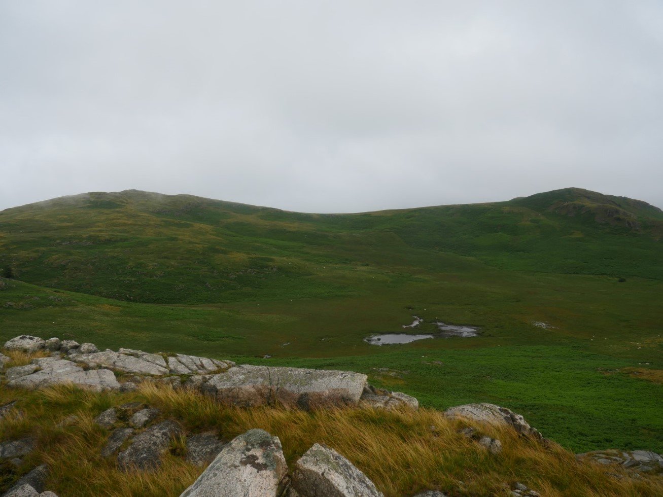
The view over Brantrake Moss to Water Crag on the right and Rough Crag on the left
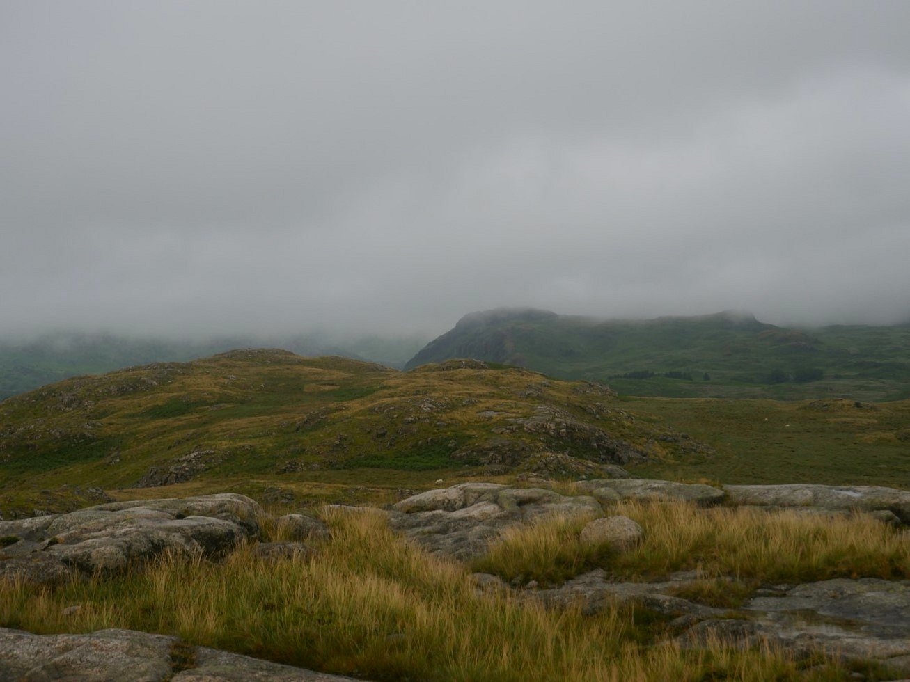
Later in the day the cloud did lift slightly allowing me to see Hartley Crag.
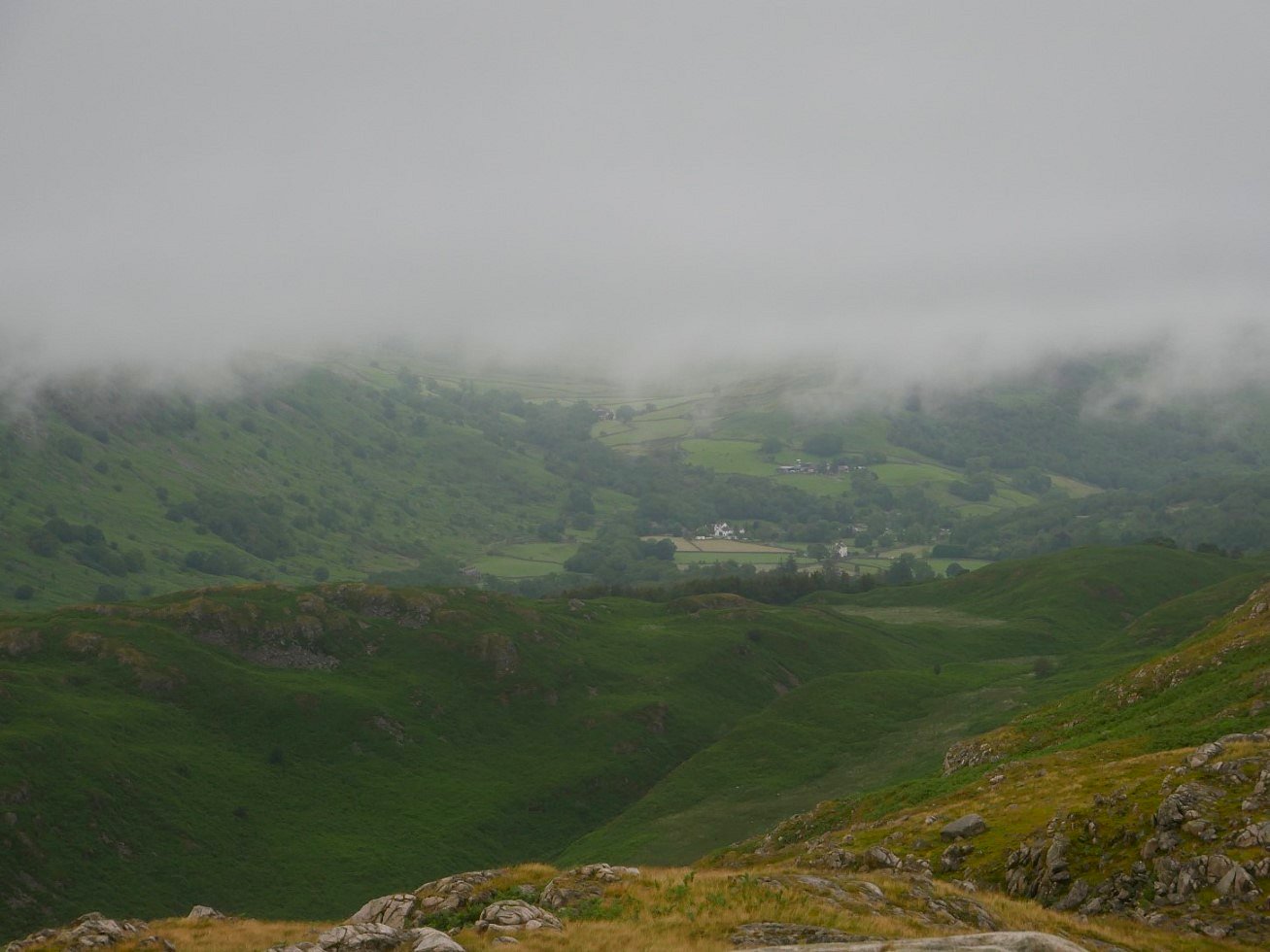
And the hamlet of Boot. The two white buildings are the Boot Inn and the Burnmoor Inn where Sue and I enjoyed a couple of excellent evening meals on our week in Eskdale.
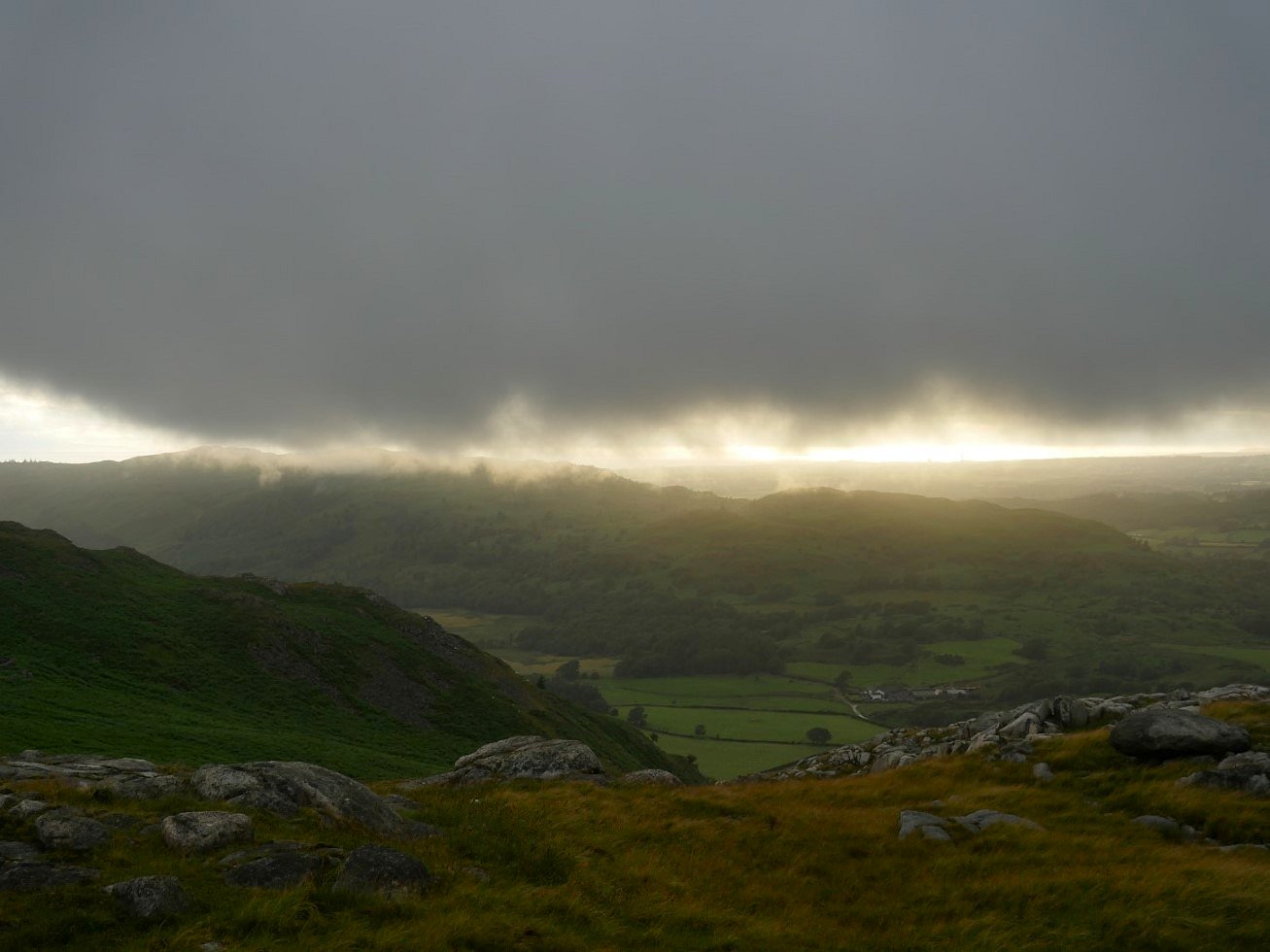
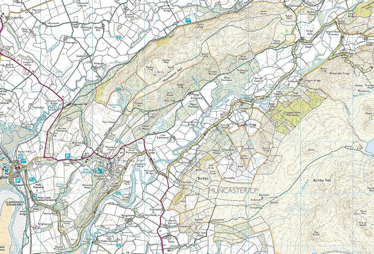
Muncaster Fell is just about clear and there is even a bit of sunshine out over the sea. Later the cloud returned and with it rain which came on and off all night.
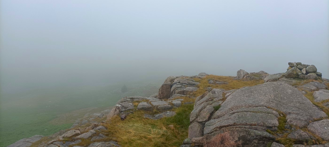
The cloud was even lower in the morning but the rain did stop whilst I packed away my tent and then made my way down to the valley floor by way of Brant Rake.
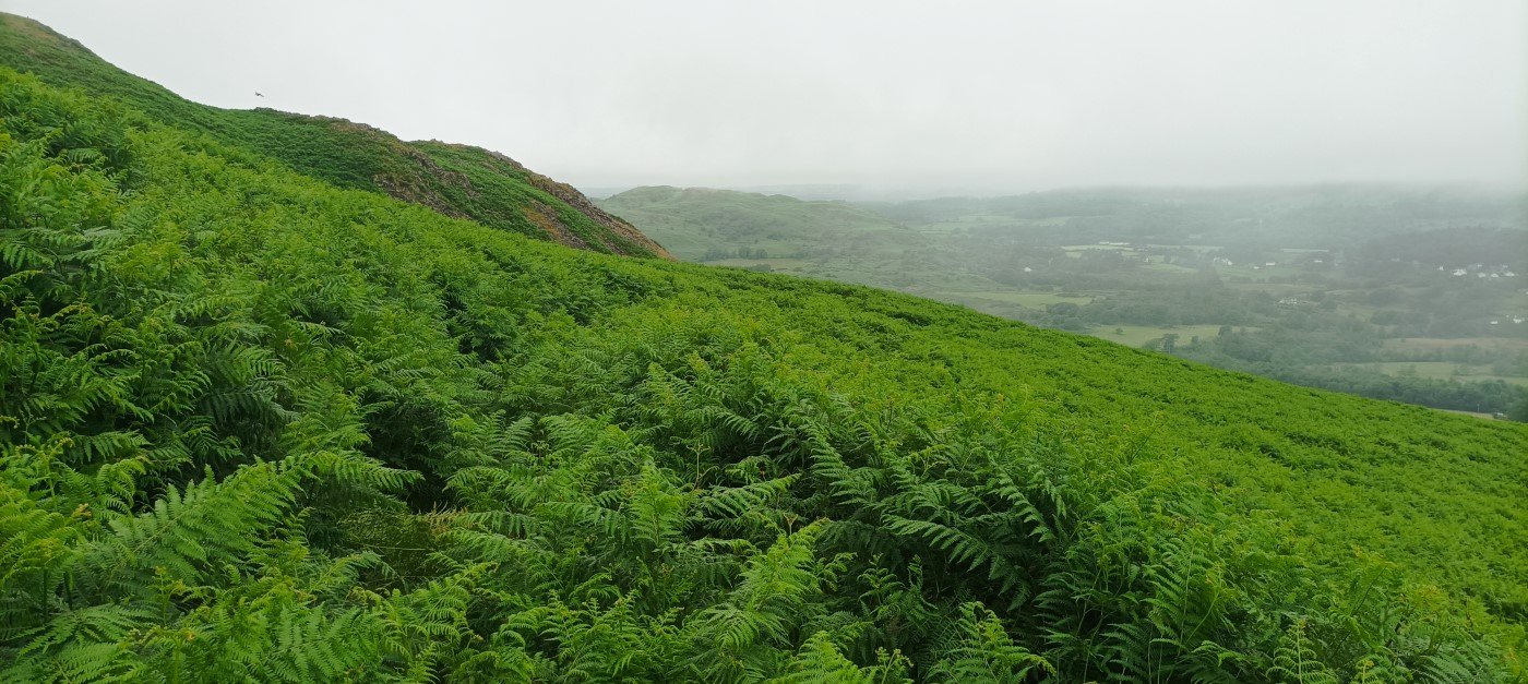
Which at times was quite tricky to follow.
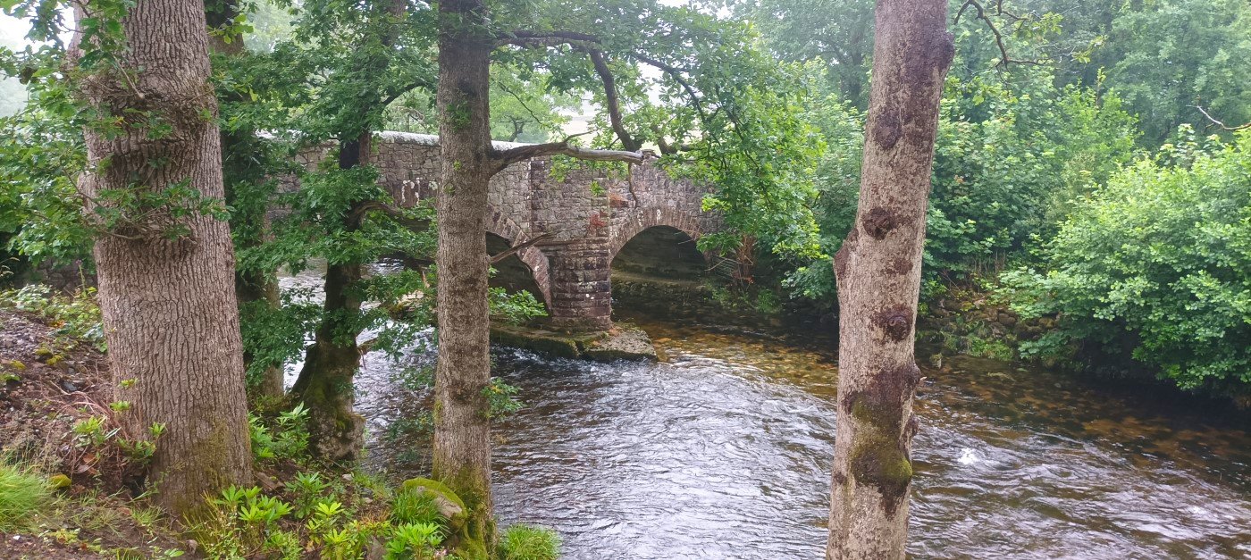
This is the bridge over the river Esk just after the start of the Esk trail.
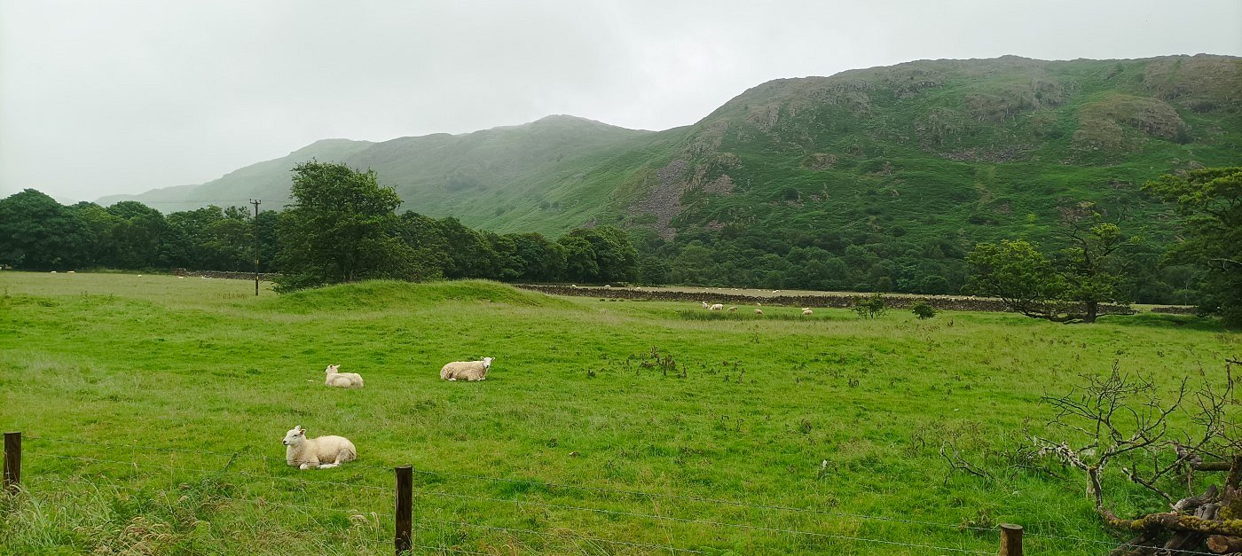
. Rather than follow the Esk trail to Ravenglass I tried a route which would follow the river, on the map I had seen a feature in the river named Plum Dub so I went to have a look.
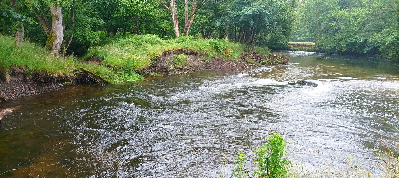
Dub is a northern word for a deep pool of slower moving water that usually forms in a bend in a river. This picture seems to show that so I think this is Plum Dub.
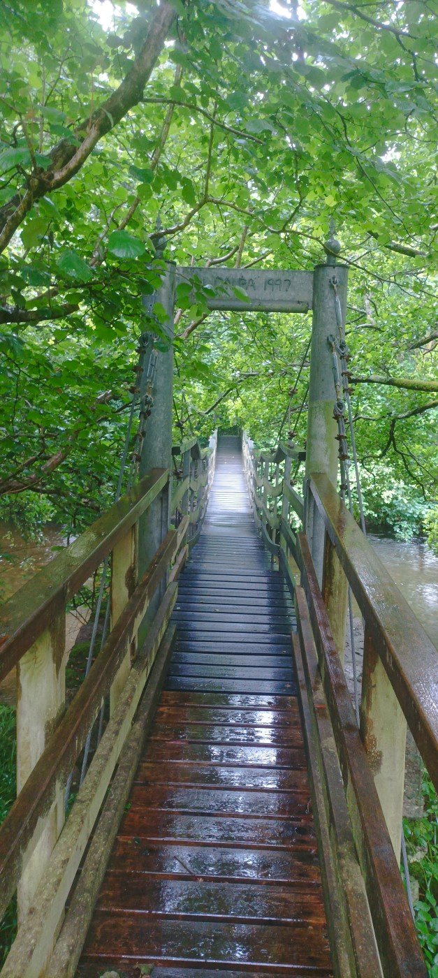
The path crosses the Esk at Stock's bridge which was very bouncy ! I had to walk on the minor road for a mile or so to meet up with the A 595 along which you have a dodgy five minutes till you reach Hirst Lodge and the track to Ravenglass.
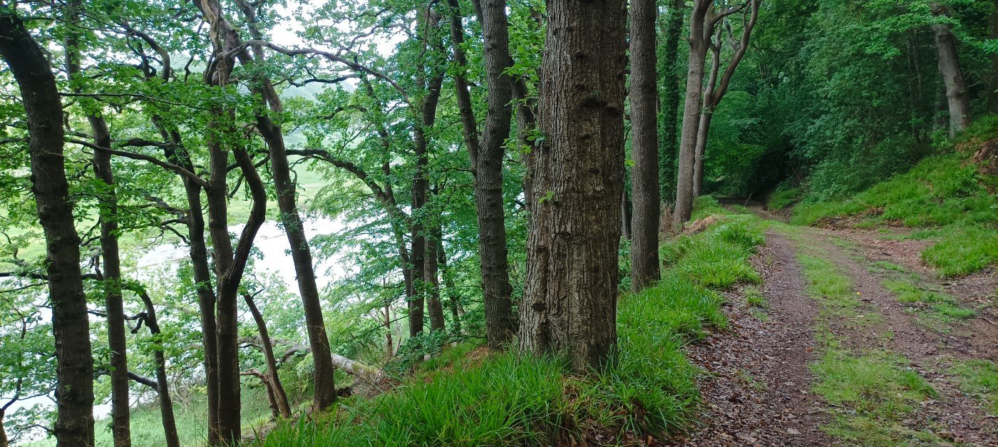
The track passes below Muncaster Castle and follows the river to the sea.
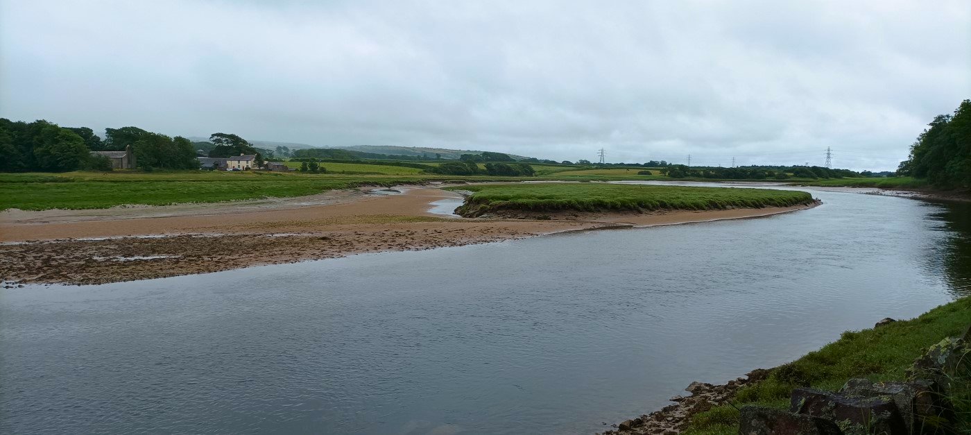
Hall Waberthwaite across the river. Just after here I turned away from the coast, passed Newtown Knott and caught the train from Ravenglass to Green Road from where I had a twenty minute walk back to my car.
Previous walk -- Bowscale and Carrock Fell - Next walk - A flying visit to Stainton Pike