WWW.KARLSWALKS.CO.UK
PICTURES AND TRIP REPORTS FROM MY WALKS IN THE ENGLISH LAKE DISTRICT
|
E-mail - karl@karlswalks.co.uk |
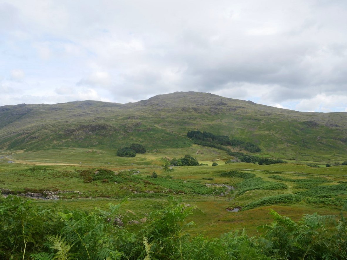
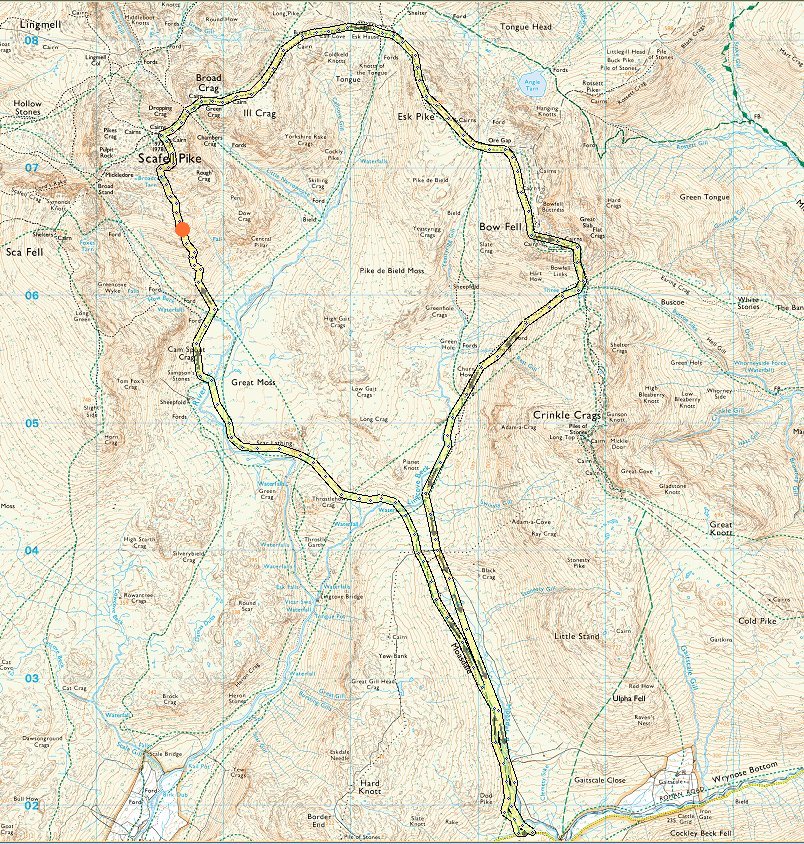
It was a much more comfortable day for walking than it has been of late, I set out from the roadside parking near Cockley Bridge around three PM. This is looking back to Cockley Beck with Grey Friar behind.
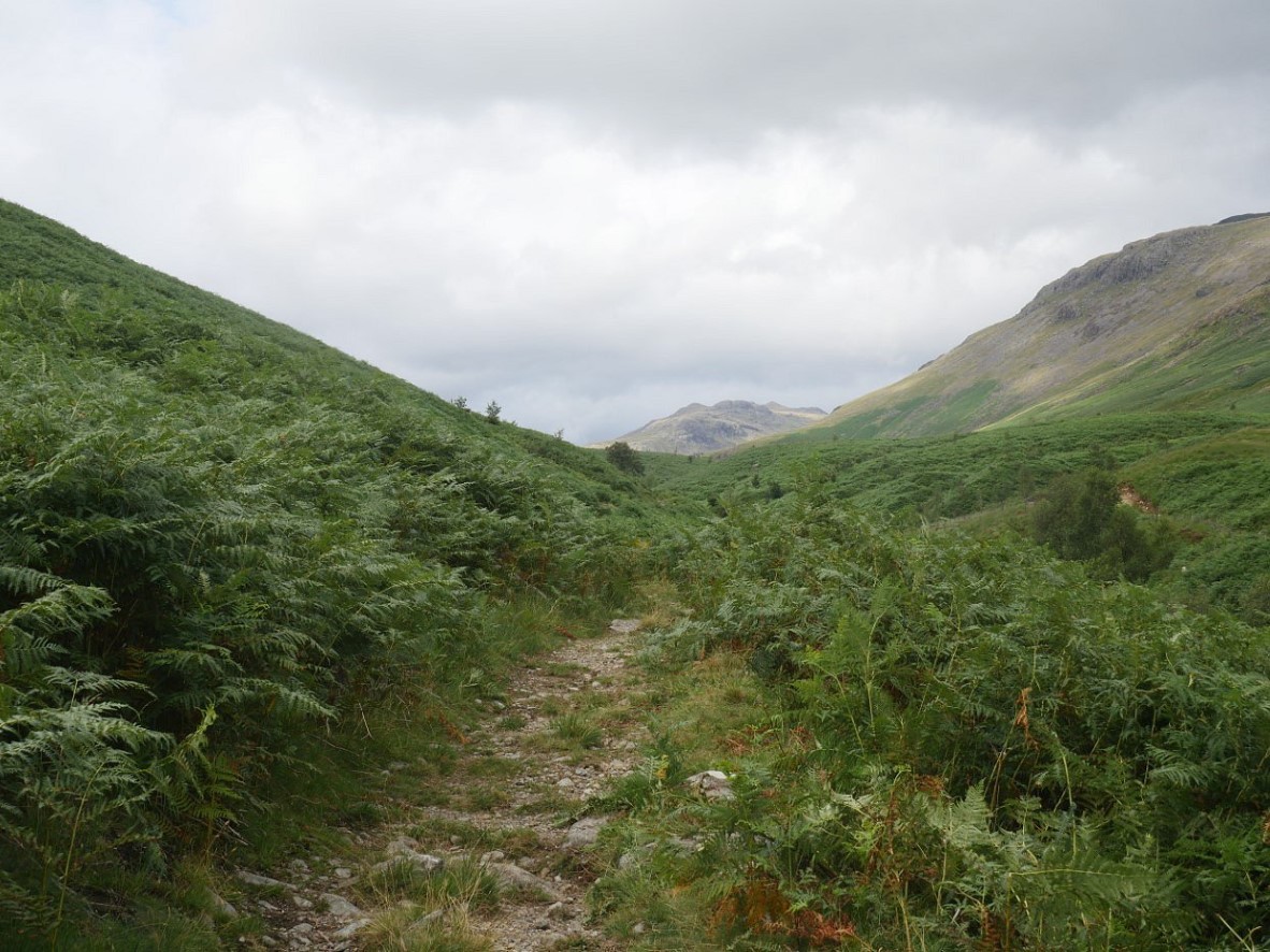
Anyone who's not been along Moasdale might look at this photo and think that looks a decent path however anyone who has been this way knows that in a couple of hundred yards this path disappears and from then on its a boggy meander all the way along to the higher ground above Lingcove Beck.
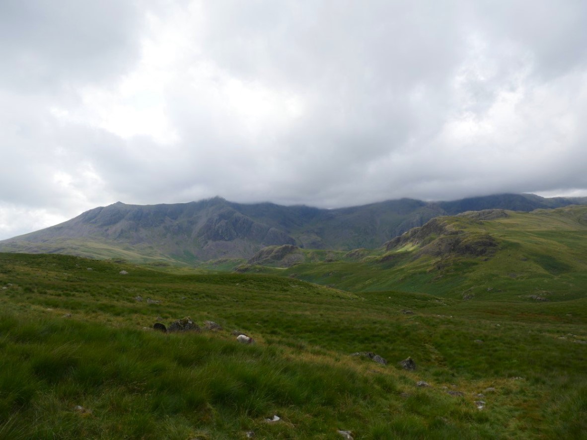
This view of the high fells when you reach the end of Moasdale are worth getting your feet wet. The very tops of the Scafell group are in cloud at the moment.
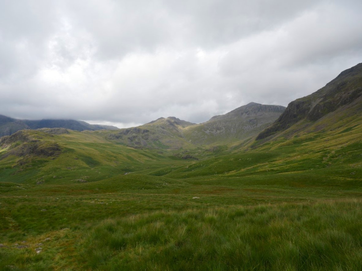
But Esk Pike and Bowfell are beautifully clear.
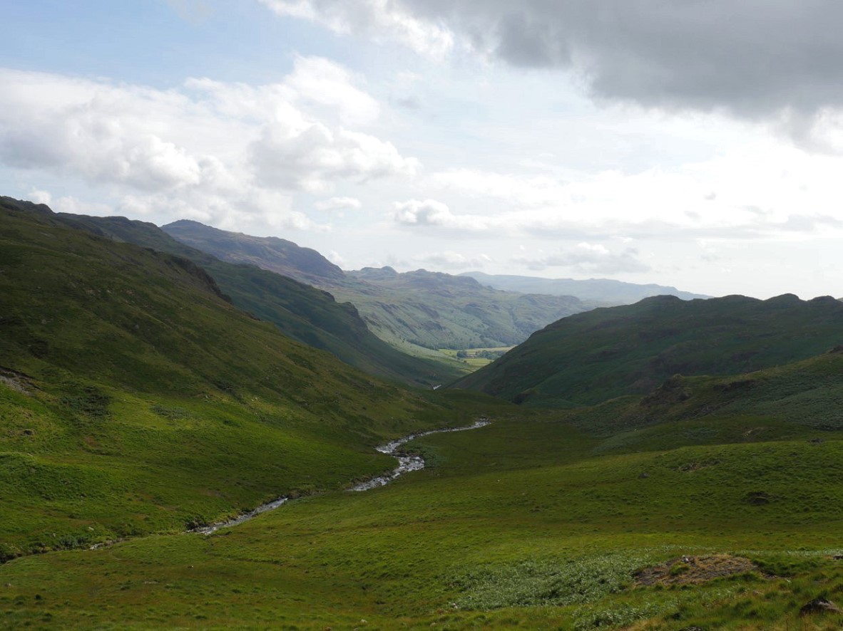
I've dropped down from Moasedale and crossed Lingcove Beck and I'm now climbing the mostly pathless hillside below Pianet Knott and behind Throstlehow Crag. The green fields of Eskdale can be seen at the end of the valley of the Esk.
.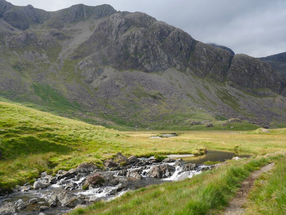
Eventually I reach the bend in the Esk where it leaves the Great Moss. The huge bulk of Camspout Crag is ahead.
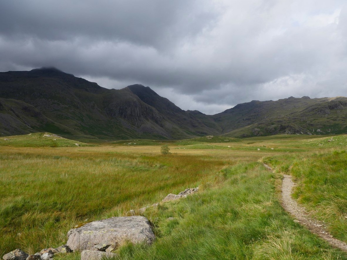
Although Scafell Pike, Pen and Ill Crag look very dark it never felt like it would rain The sunshine was flitting in and out and here it's lighting up the Great Moss.
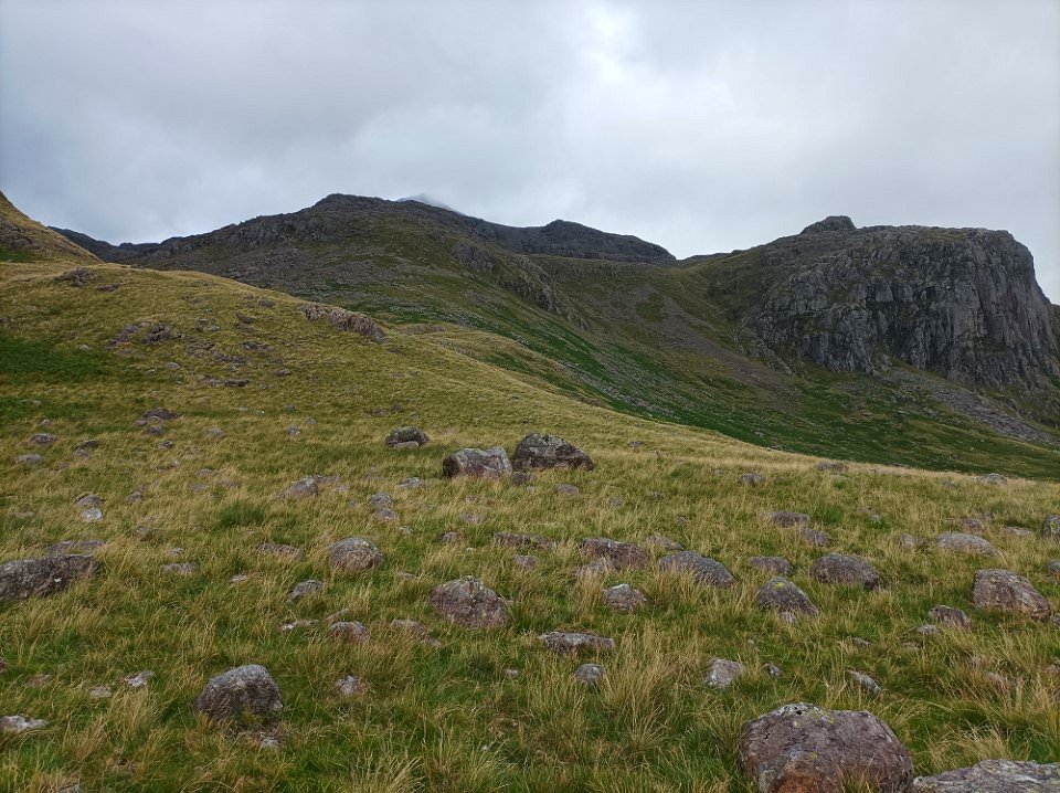
After passing the falls at Cam Spout I activated my gpx "dot" on my phone map and made a bee line up the steep grassy hillside towards it.
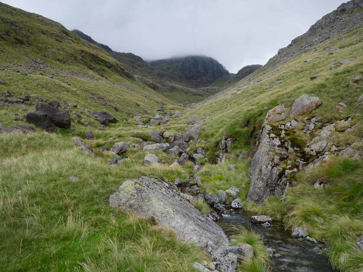
There is another stream coming down from Mickledore just along the valley from the falls which I followed for a while until I needed to climb out to the right. Broad Stand is above.
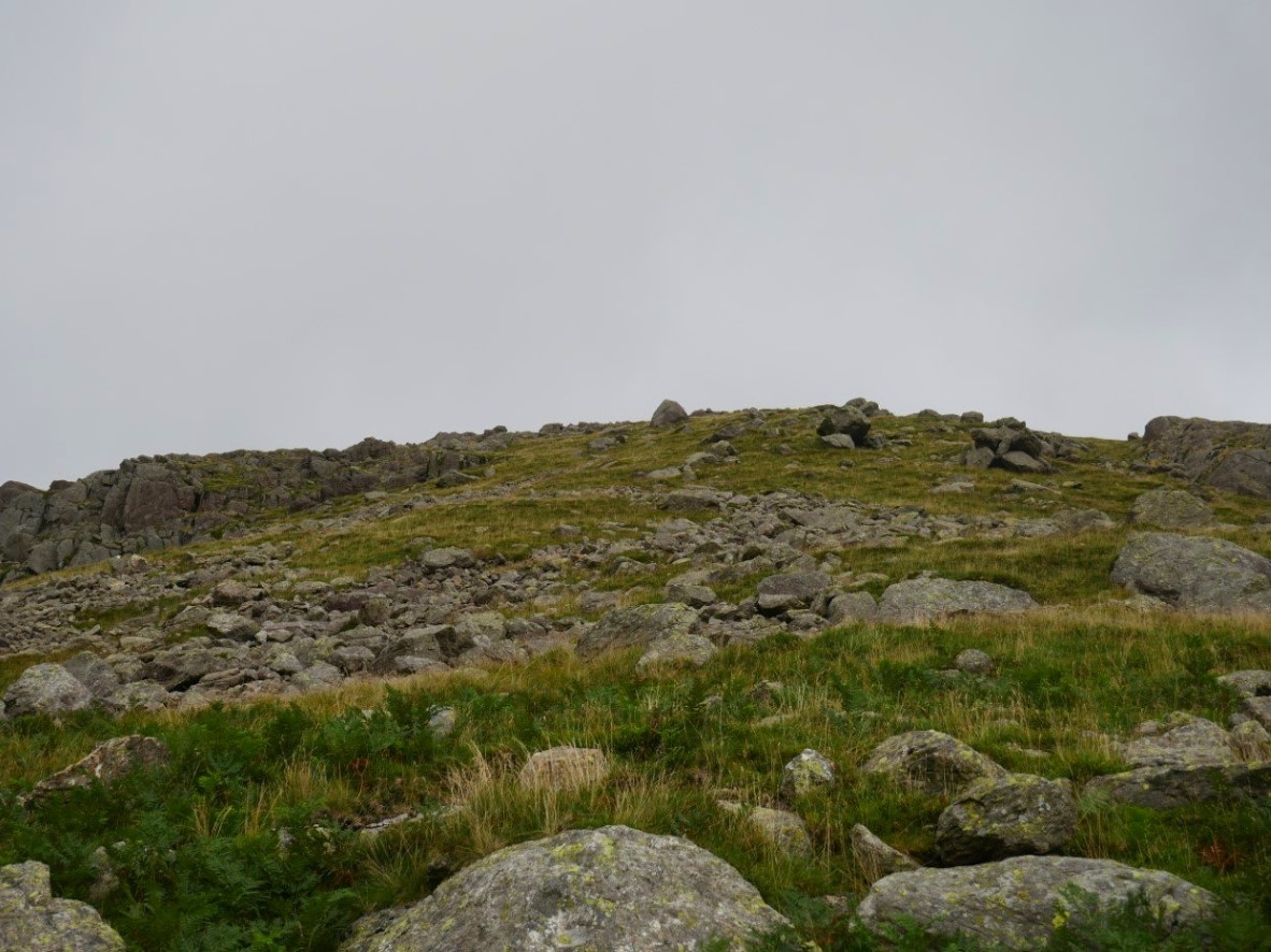
It was now just a case of plodding up the relentlessly steep hillside over grass and rock. When I'm on a climb like this I set myself little targets such as the rock in the centre of the pic. When I reach it I have a micro rest, maybe take a picture and then push on.
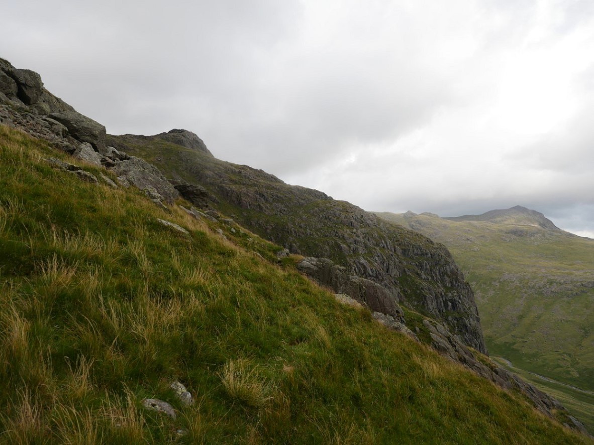
Once I can see Dow Crag and Pen I know I must be close as it was at about this height that we abandoned our climb to Pen.
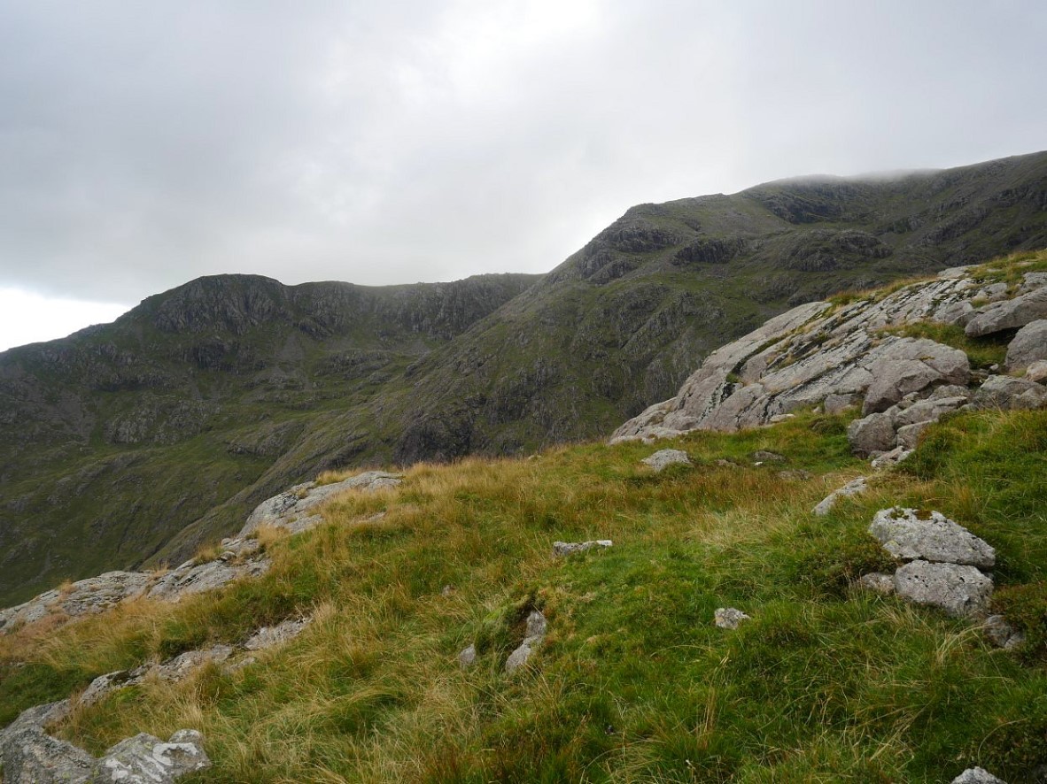
And after climbing up a grassy rake there it is. I once again thanked our lucky stars that we managed to stumble on this place when we needed to.
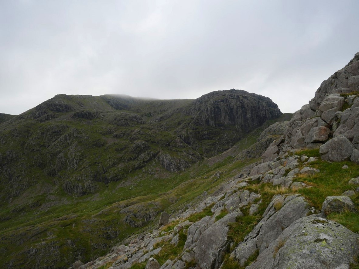
I climbed a rocky step in the direction of Cam Spout and saw that I was virtually level with the path up the Foxes Tarn gully. The worn stony path can be seen coming down below Broad Stand from Mickledore.
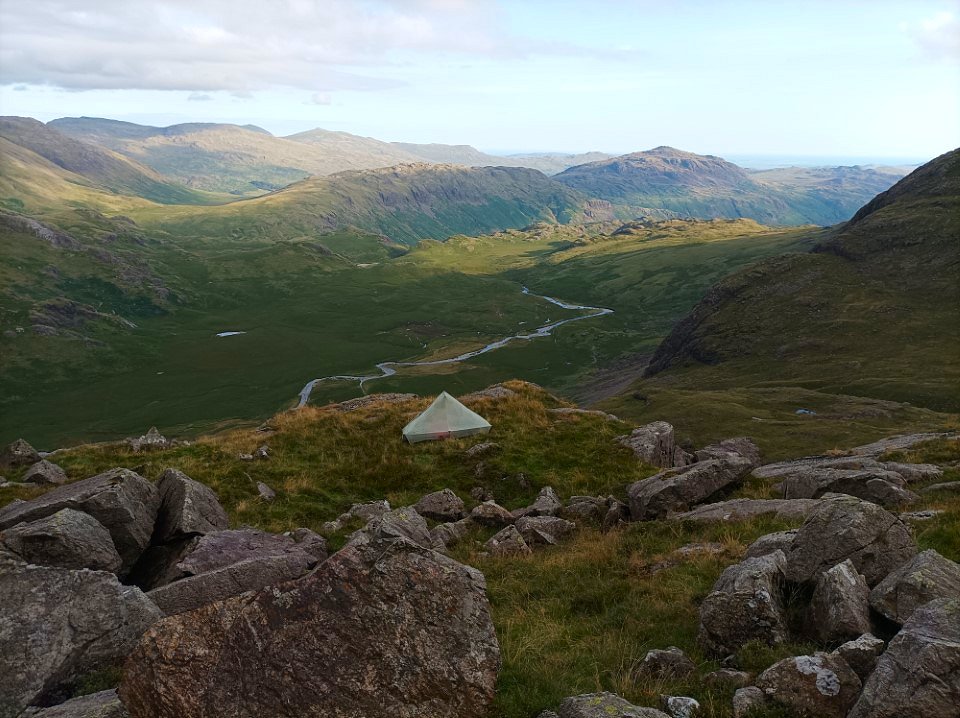
The tents up now and I've climbed up to get the view over the Great Moss and River Esk. The sun is lighting up the Silverybield Crag area with Hard Knott and Harter Fell beyond and beyond those are Dow Crag, White Pike and the Coniston fells.
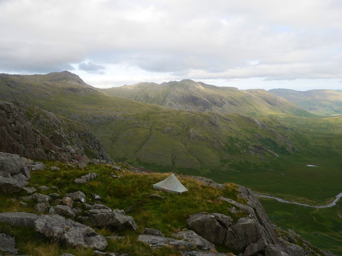
And in the other direction is the long southern ridge of Esk Pike, Bowfell and Crinkle Crags.
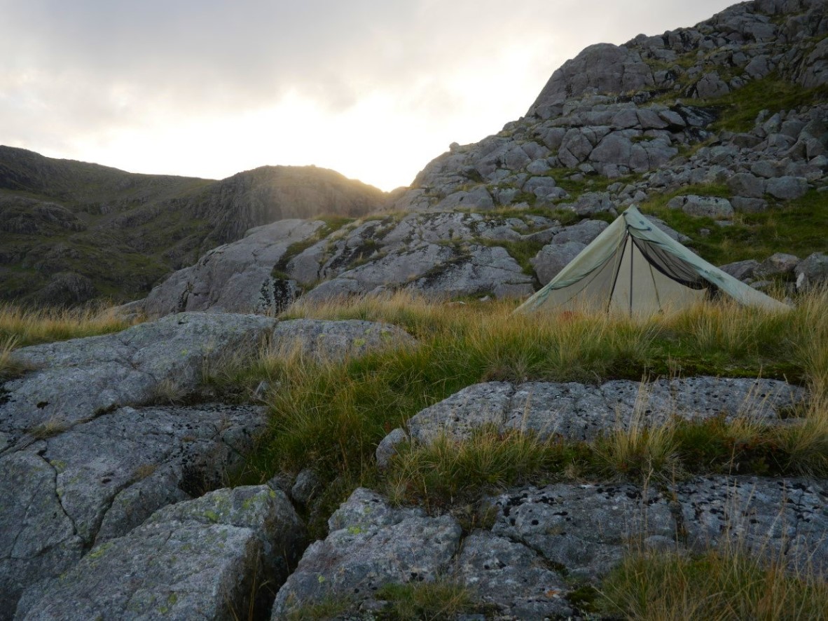
The sun was setting behind Broad Stand. Behind the tent you can see the rough boulders over which I would be climbing to the Pike in the morning.
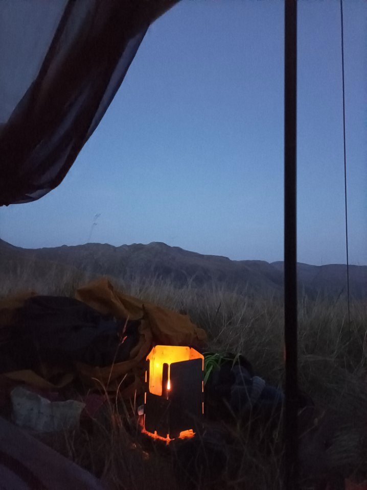
Just about to make a hot chocolate to finish off the day nicely ( my stove was on a stone not the grass).
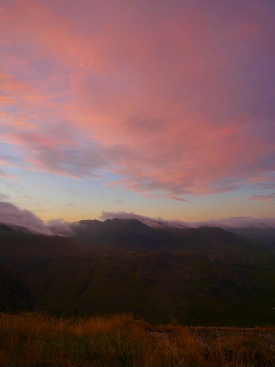
Dawn brought low cloud draped over Crinkle Crags with morning pink cloud above.
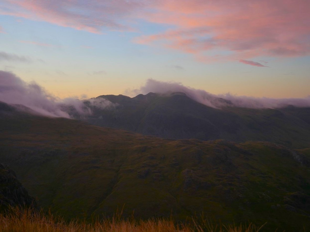
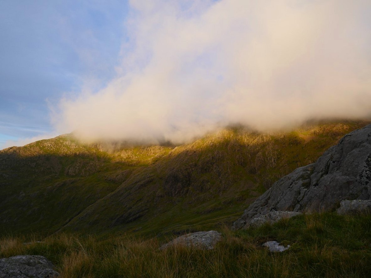
Later in the morning the sun has cleared the fells to the east and is lighting up the top of Cam Spout and Scafell.
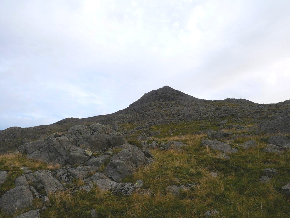
On my way to the Pike now. The rough slopes behind my tent gave way to a large flatter terrace and beyond that was the impressive prow of Broad Crags. I did have a couple of tentative attempts at climbing straight up the front but the tempting gully's were just a little bit beyond my comfort zone so I contoured around the base to the right in the direction of Rough Crag.
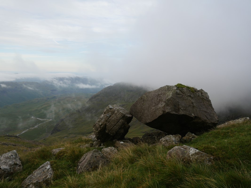
Just below Broad Crags were these two huge balanced boulders which I thought looked like something Wainwright would draw ( I checked, he hadn't ).
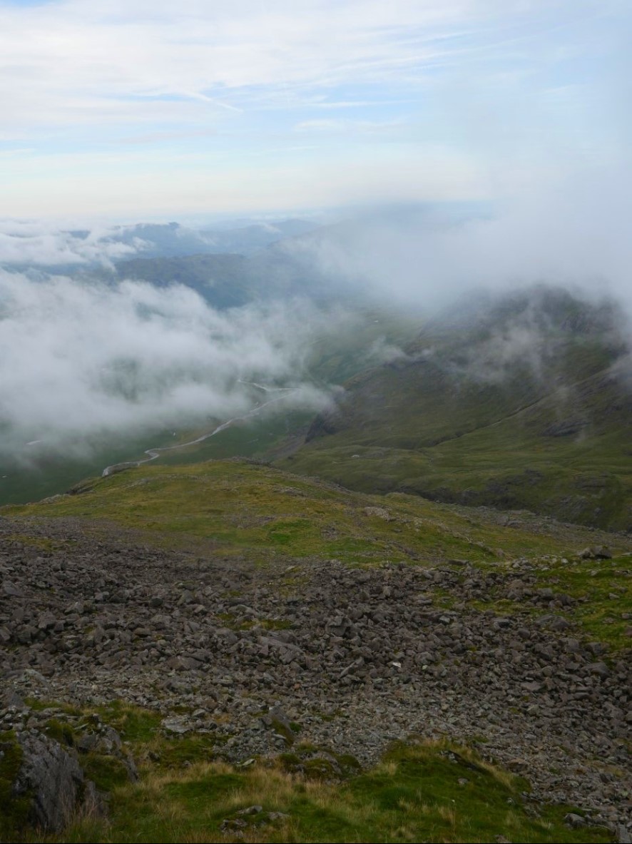
The view back down from the base of Broad Crag.
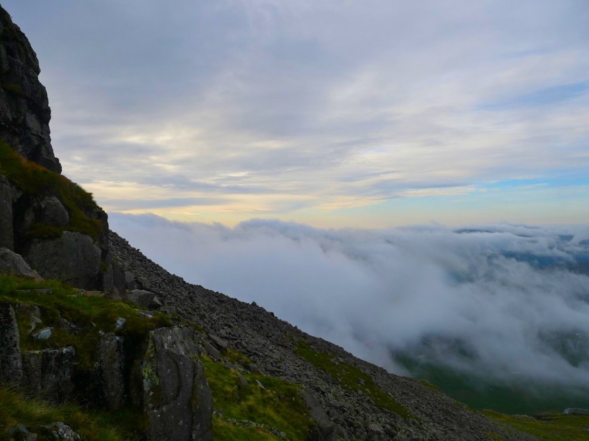
The morning sky with low cloud still hanging over Esk Pike.
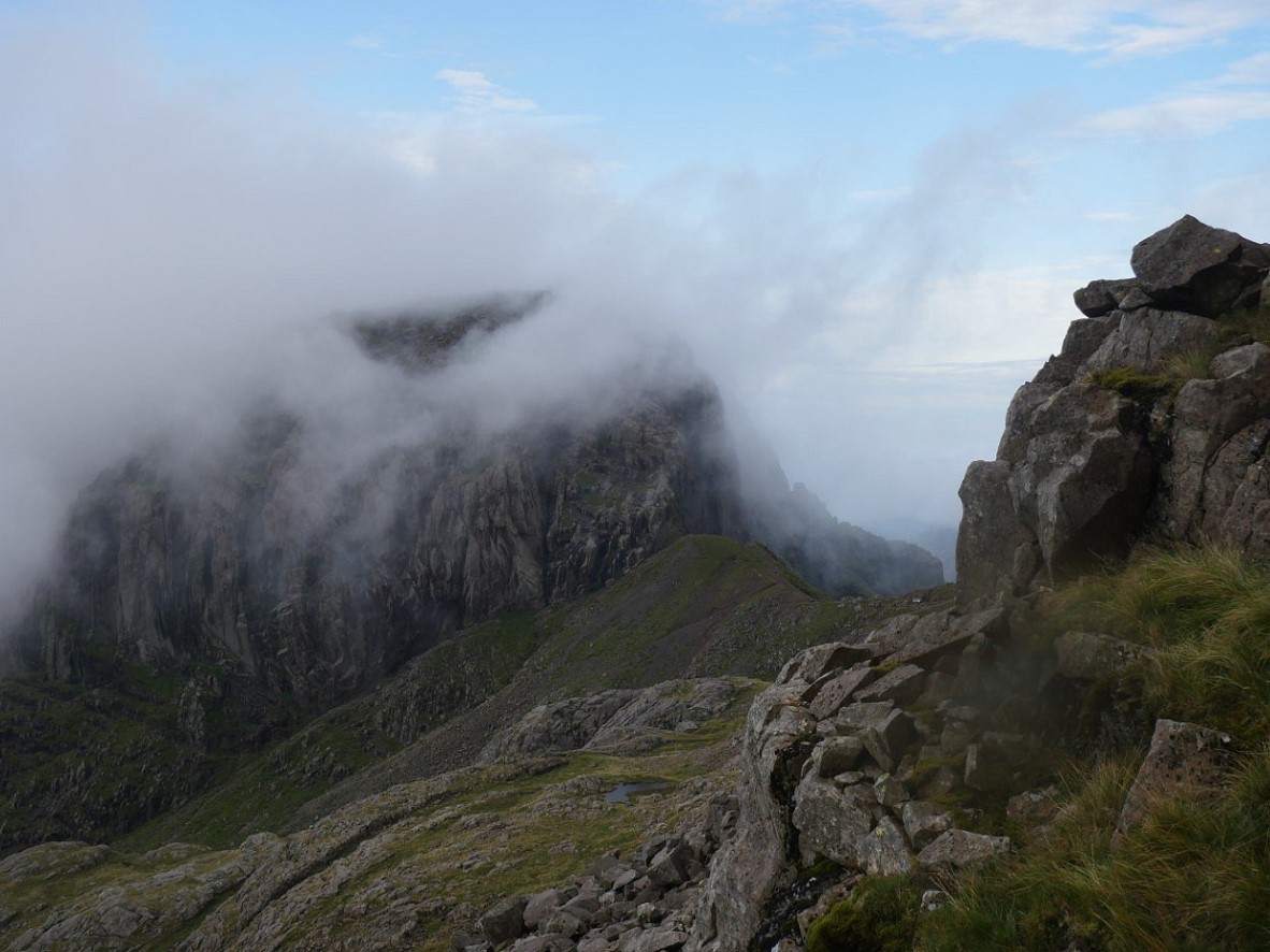
Broad Stand can't shake off the cloud either. Broad Crag tarn is the water below.
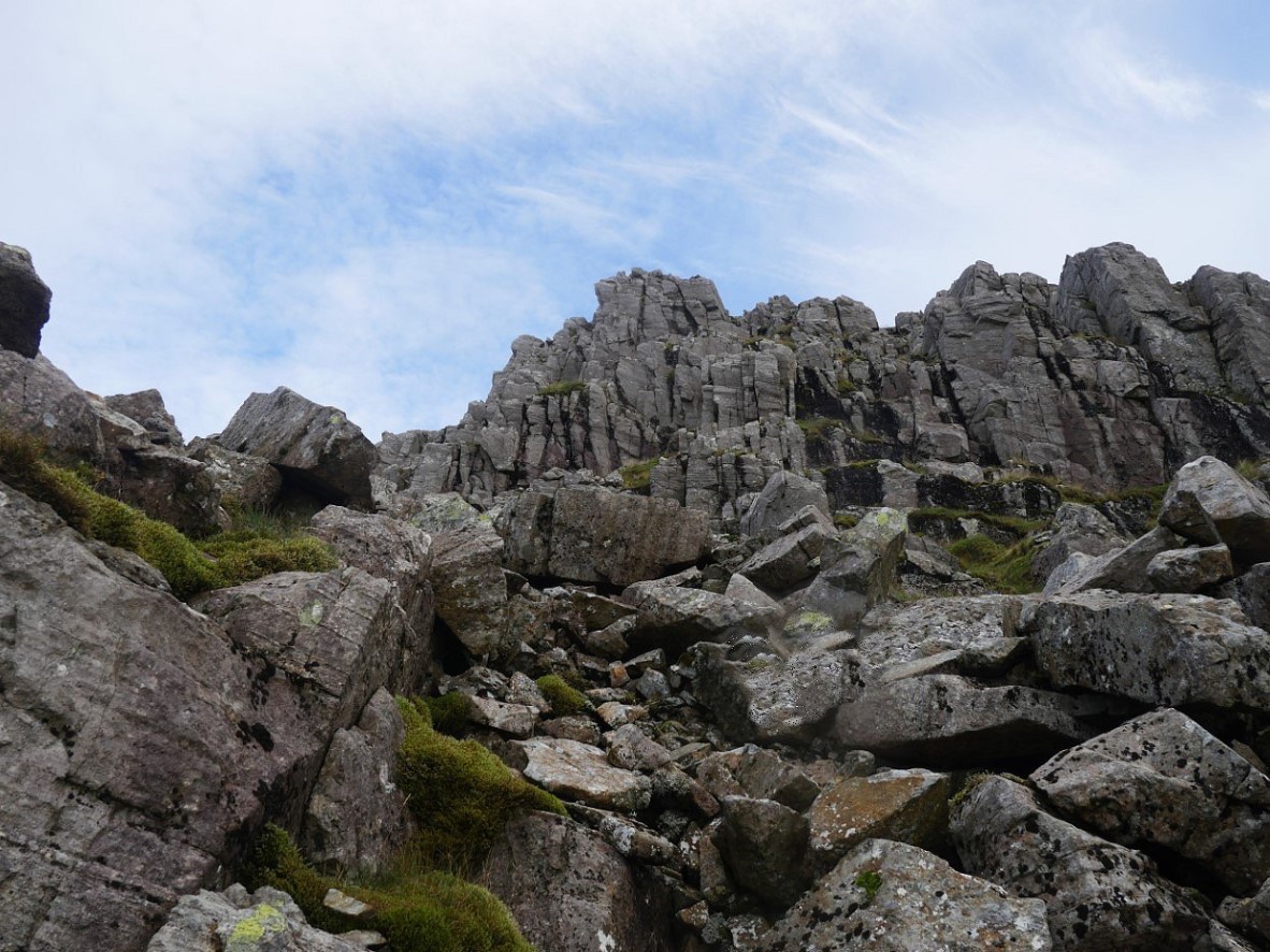
Scafell Pike is a rough old hill from every side and this eastern flank is no exception. I carefully picked my way across the stones.
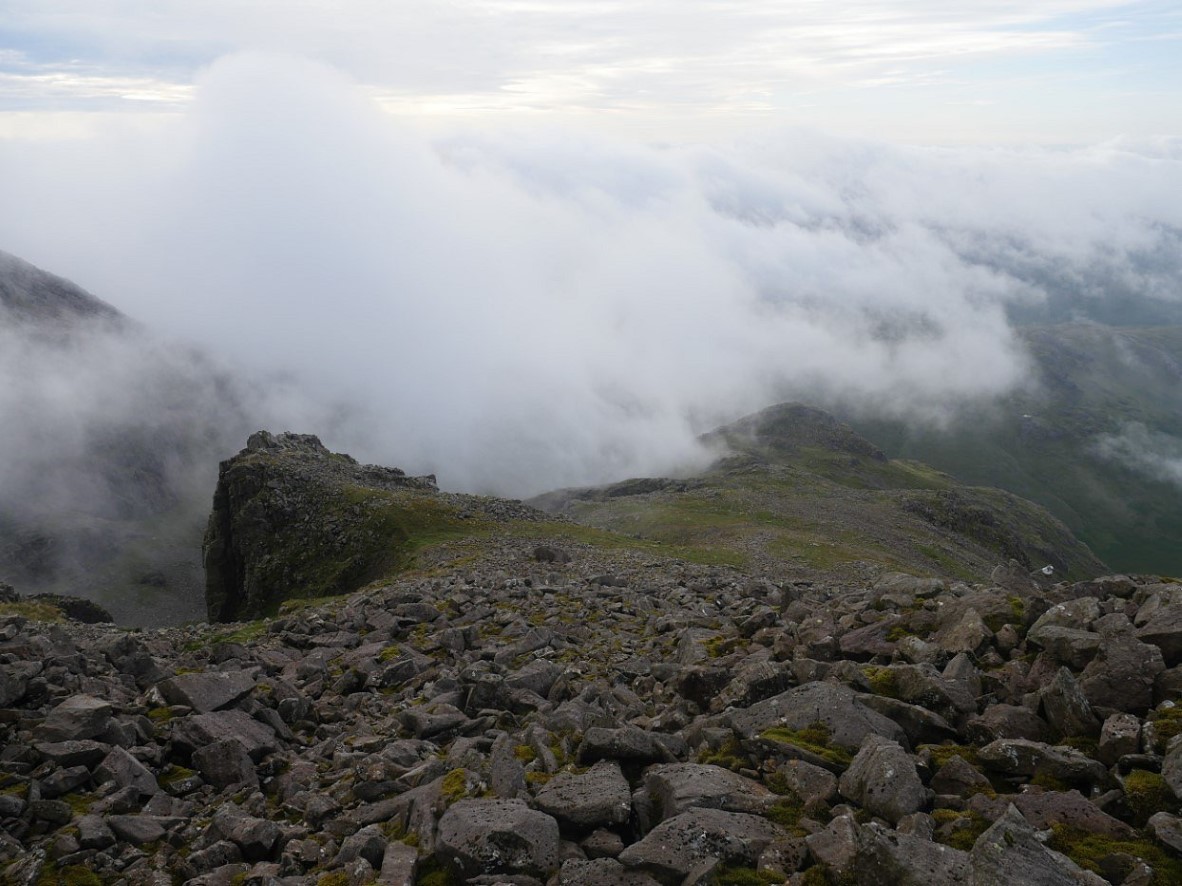
Back on familiar ground now with Rough Crag and Pen below.
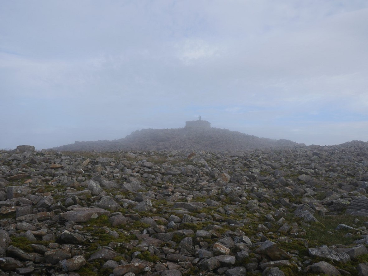
Just a couple of lads at the top, no drones or boom boxes ( yet ).
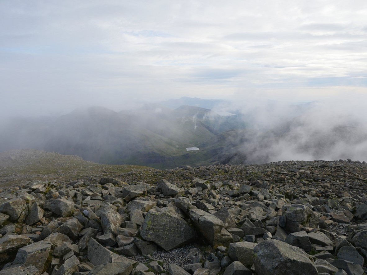
The cloud blew in and out on a lively breeze. The view down to Styhead and Derwentwater was revealed for thirty seconds.
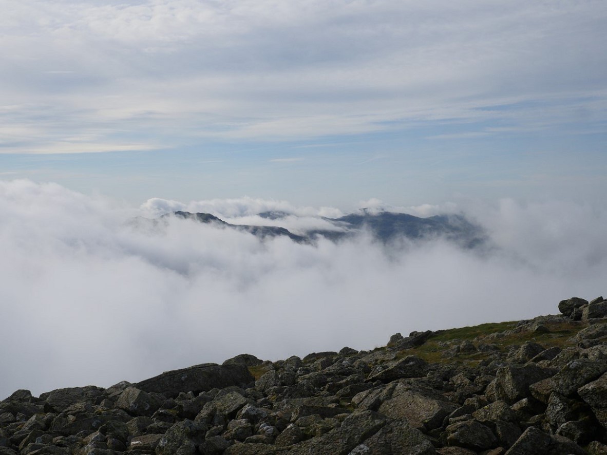
I think that's the very top of Esk Pike just about free of cloud.
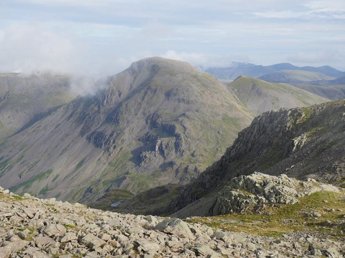
On my way down to Broad Crag Col Great and Green Gable burst out of the cloud.
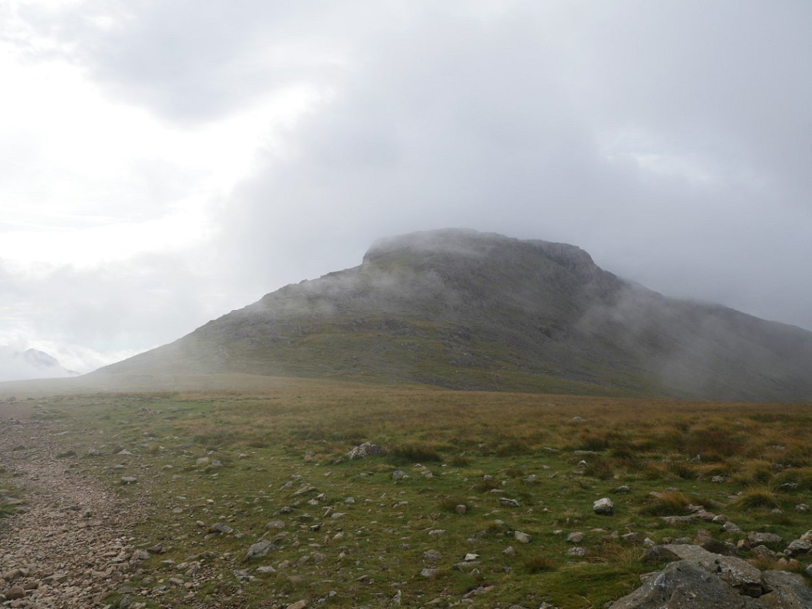
As does Esk Pike.
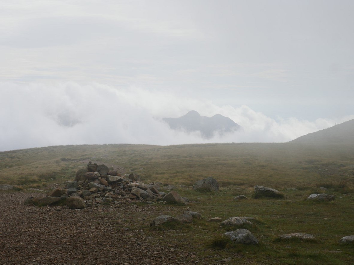
The Langdale Pikes are just a ghostly outline.
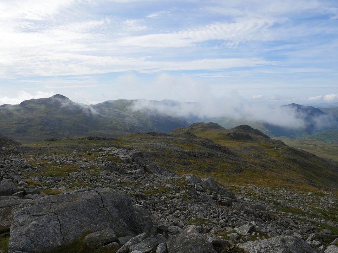
In the time it took me to climb Esk Pike the cloud was finally being burnt away by the warm sunshine. This is looking down the southern ridge to Pike De Bield.
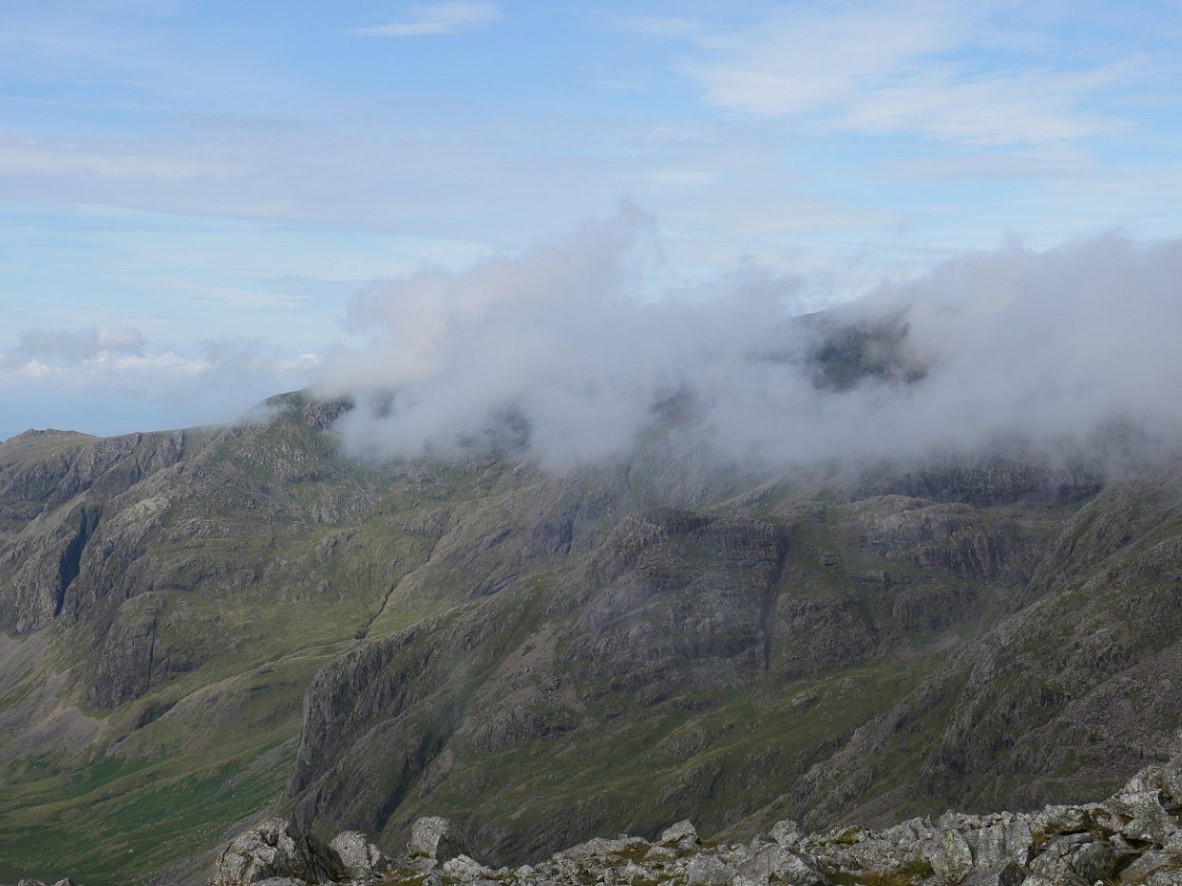
My camp spot is over there somewhere.
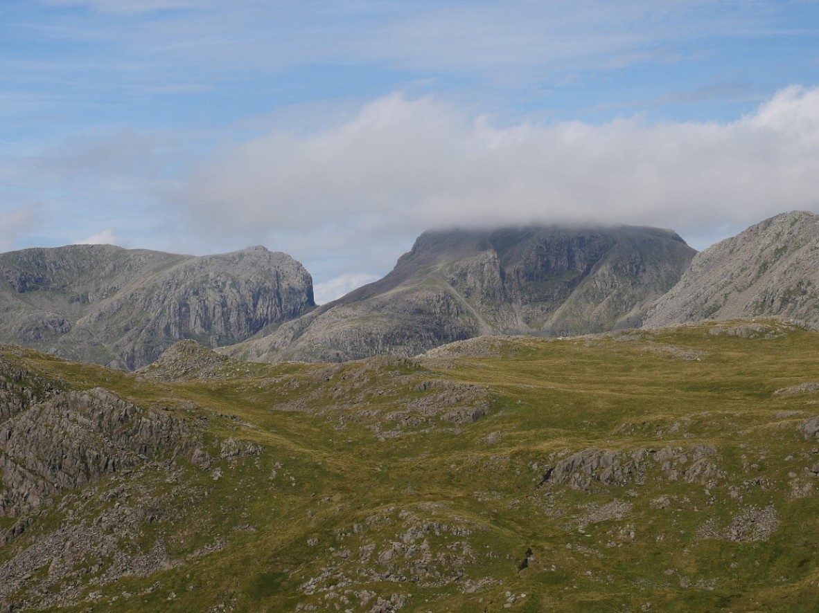
Everywhere bar the top of the Pike is clear now.
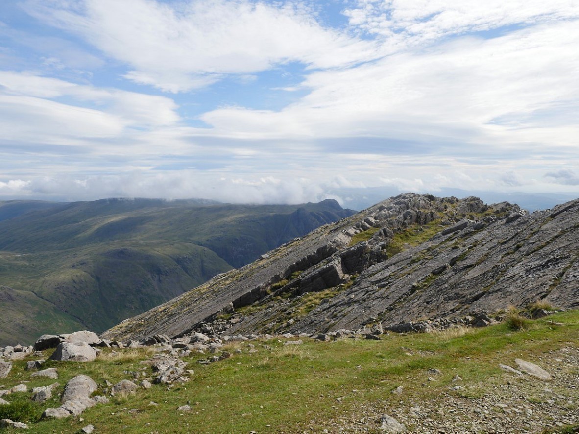
The top of Bowfell was very busy so I didn't linger The Langdale Pikes are now clear seen over the Great Slab.
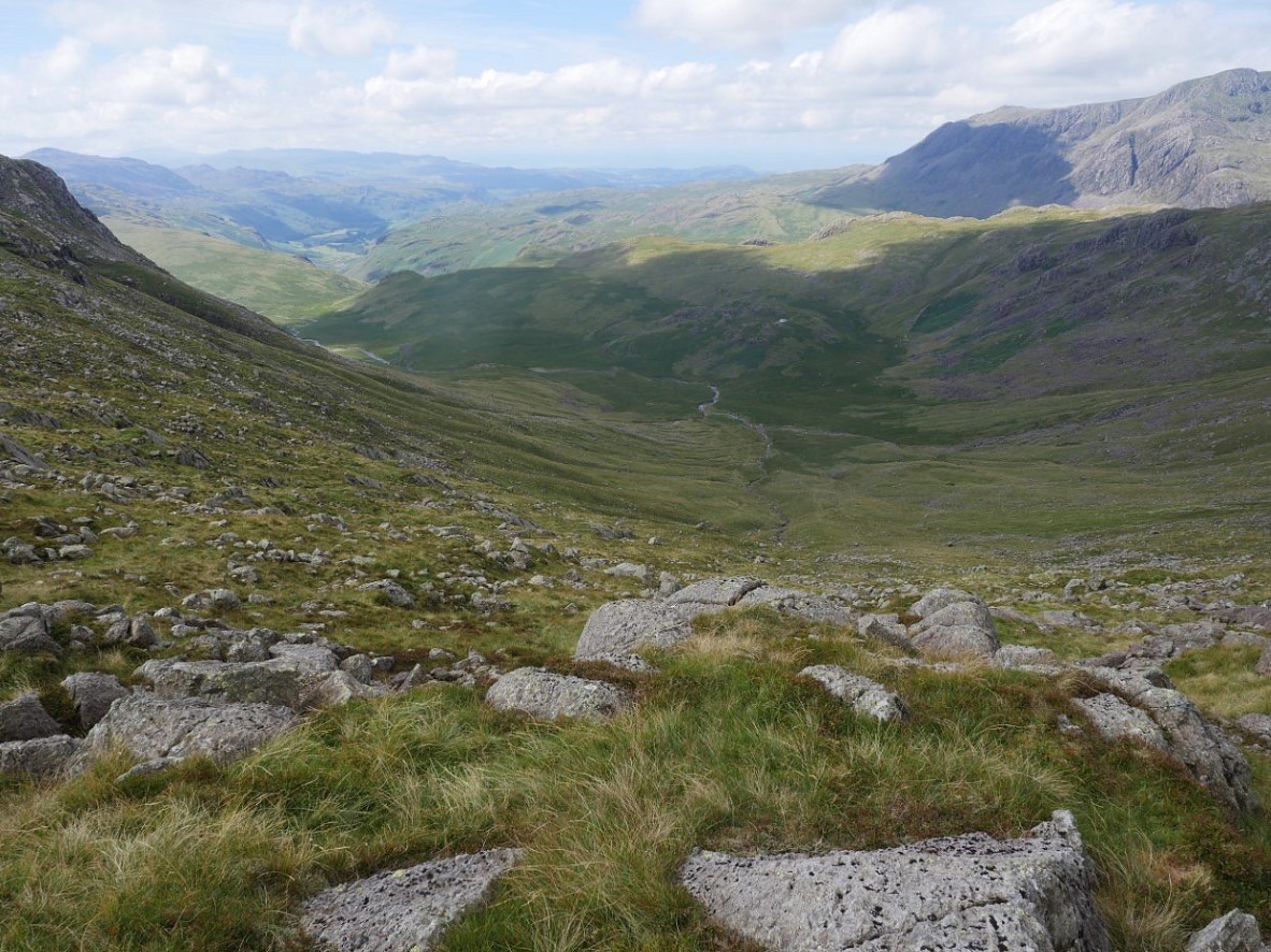
From Three Tarns I dropped down the steep and rough hillside to Green Hole and Lingcove Beck,
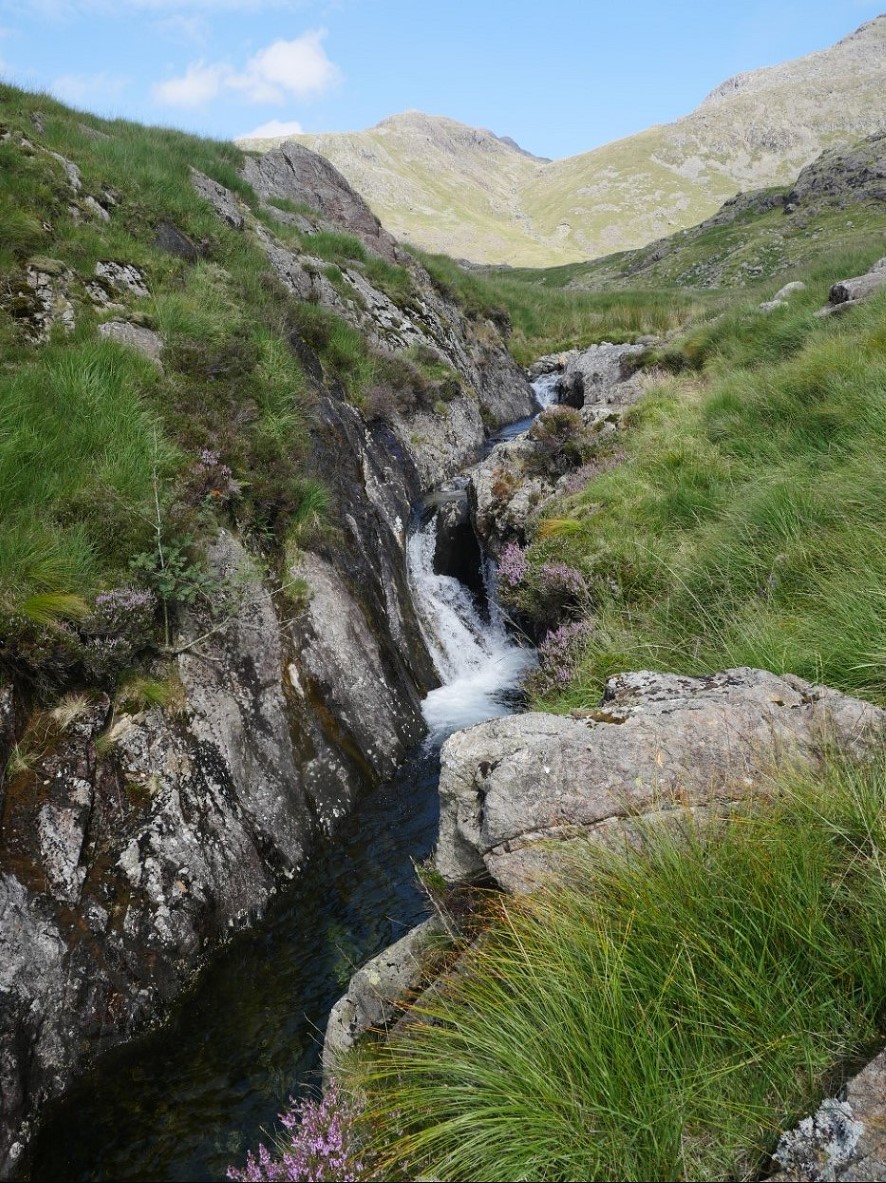
There a couple of lovely cascades in the upper reaches.
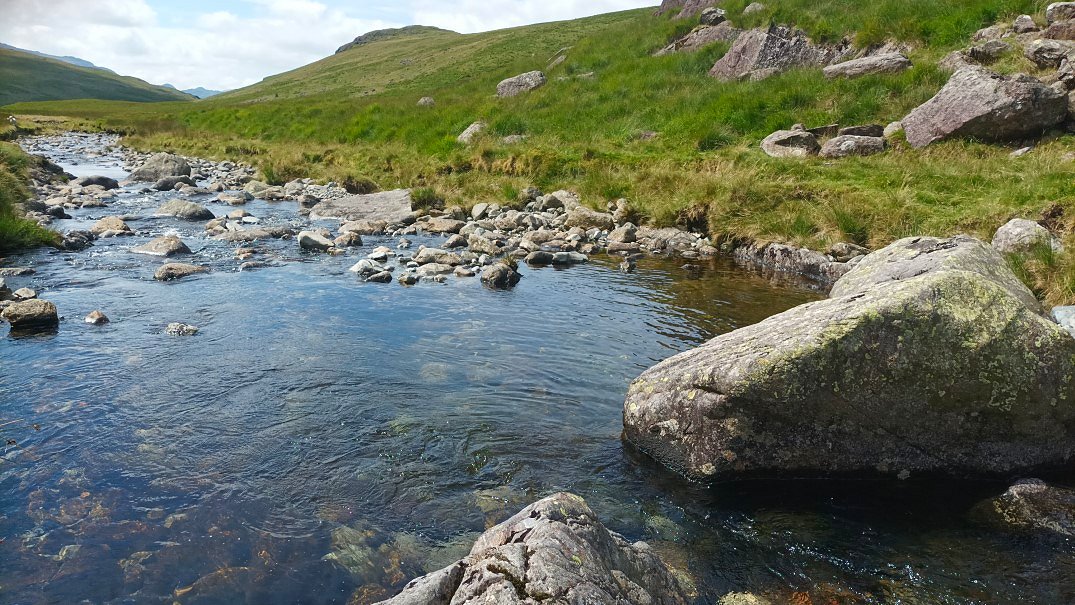
And a nice pool which was very refreshing.
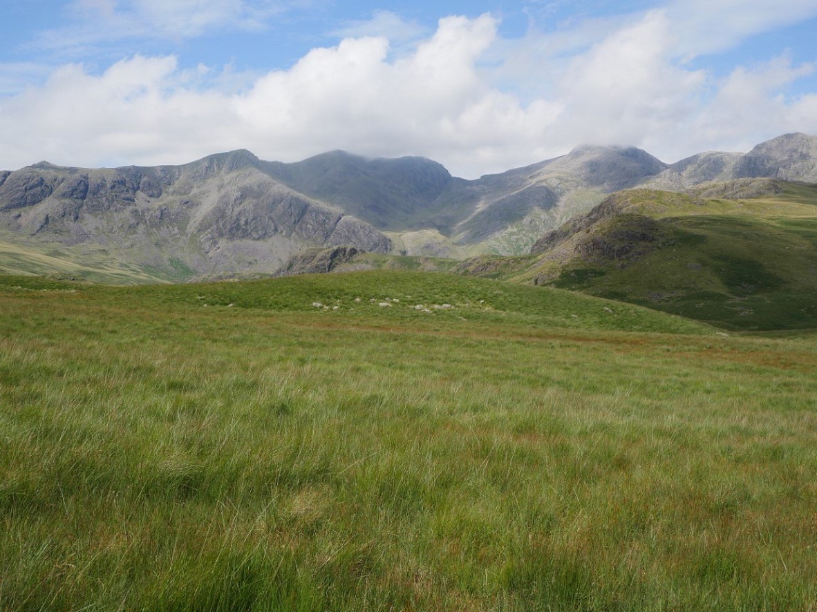
A final look back to the high fells from the crest of the little rise above Moasdale.
Previous walk -- Stainton Pike camp - next walk - Bethecar Moor from Oxen Park