WWW.KARLSWALKS.CO.UK
PICTURES AND TRIP REPORTS FROM MY WALKS IN THE ENGLISH LAKE DISTRICT
|
E-mail - karl@karlswalks.co.uk |
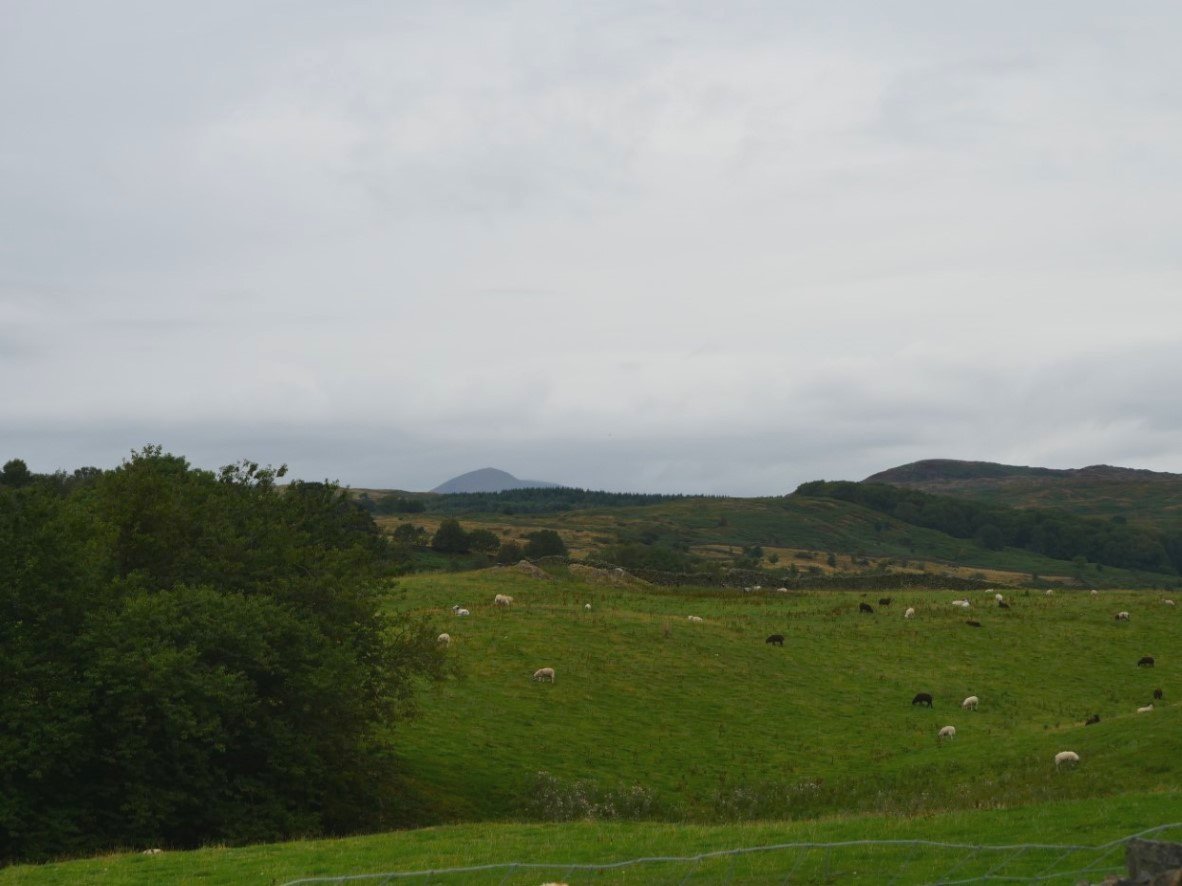
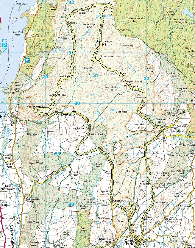
The heatwave is over and it's back to grey skies with the promise of a light shower. It was though, a nice temperature for walking with a very light breeze. I managed to park outside the village in a small lay-by. Coniston Old Man is just visible over the fields.
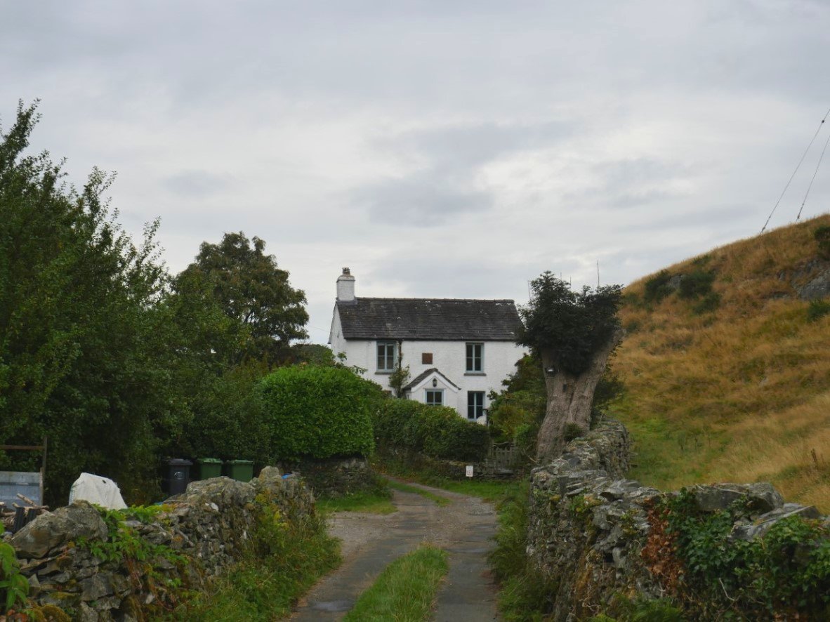
My first couple of miles were on a very nice track which wound its way through the fields and pastures. This nicely situated house is named on the map as New House.
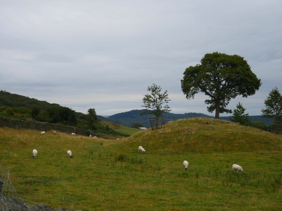
The trees of the Grisedale plantations were always a feature over to the east. The track meets a tarmac road at the hamlet of High Ickenthwaite.
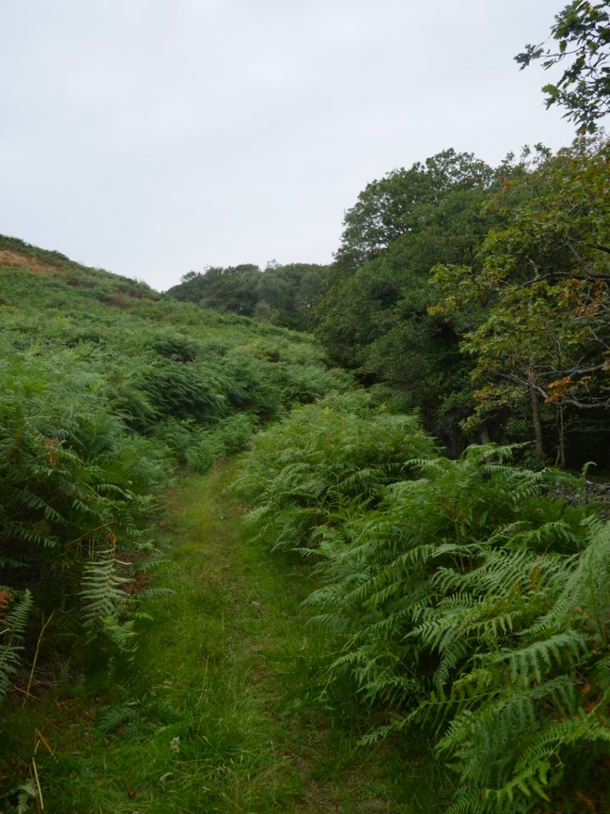
From High Ickenthwaite a path climbs gently uphill following a narrow trod between Red Bank and Chamley Bank.
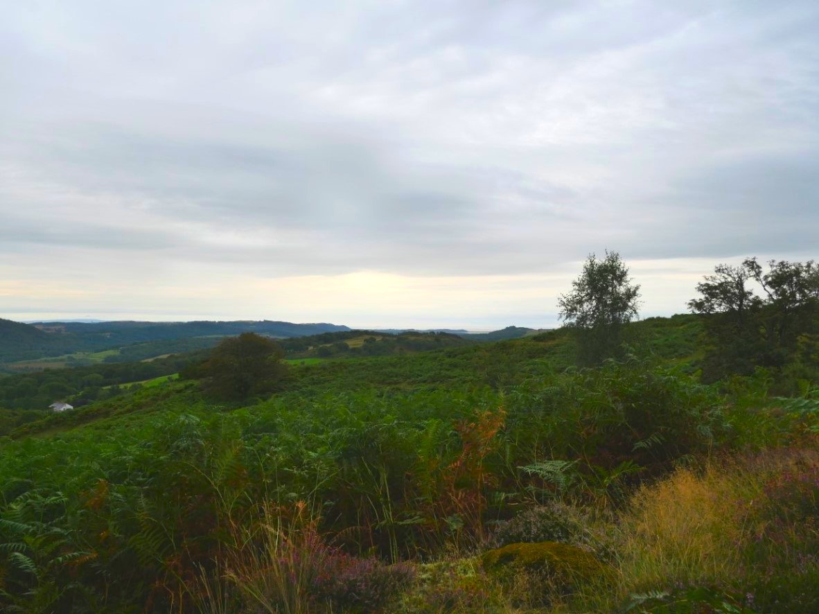
Looking back the way I've come. The coast comes into sight as you gain height.
.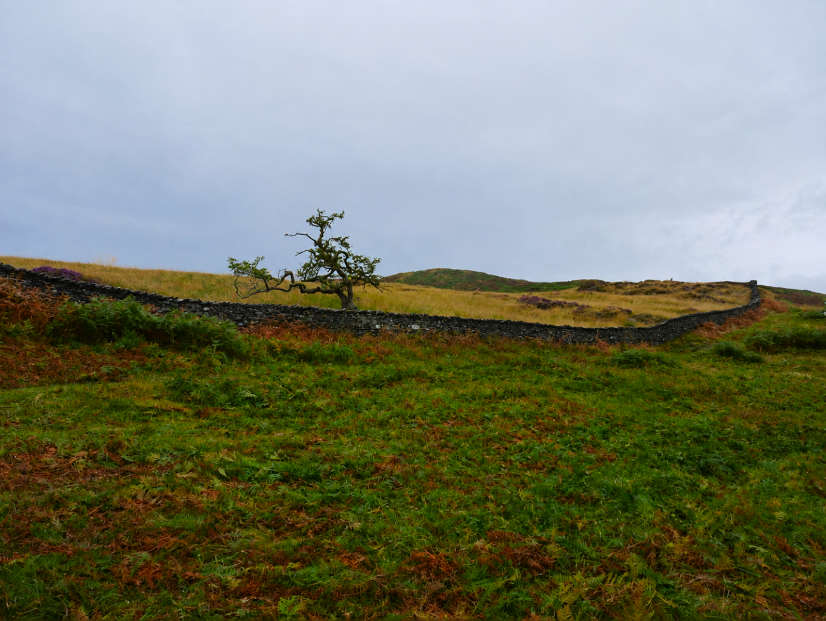
The path levels out at Old Parrock which is an enclosed intake or I suppose a giant sheep fold.
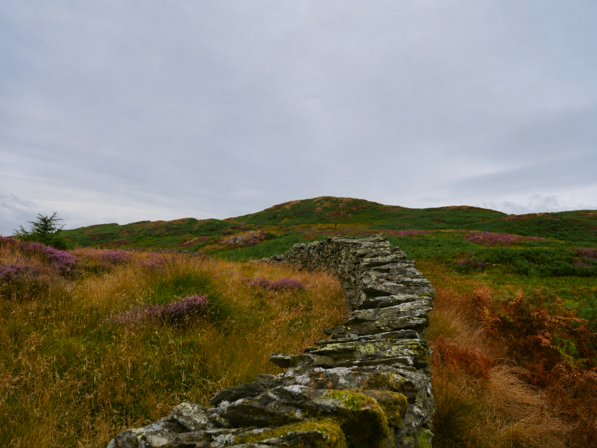
Old Parrock hill is my next target and it was further away than it looked and with the pathless rough ground it seemed harder to climb than it should.
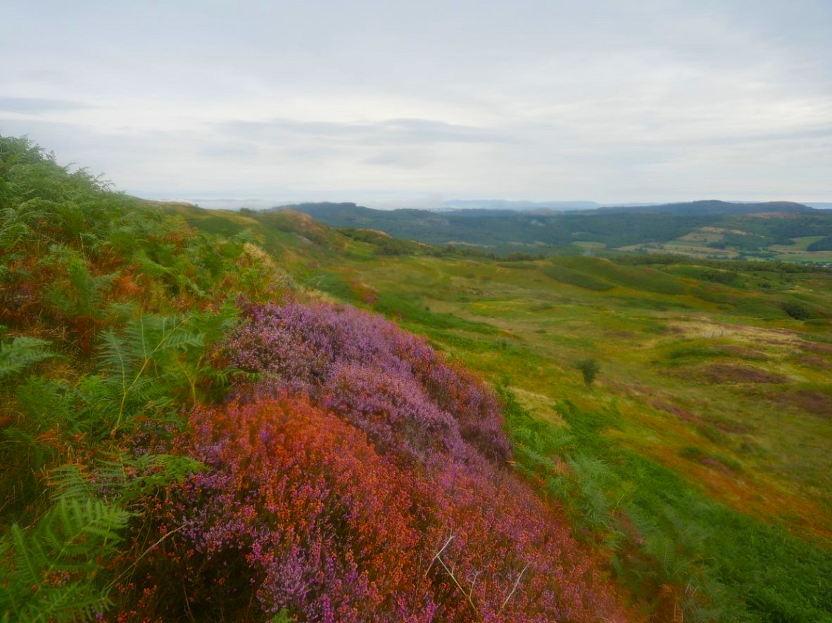
Even though it was a bit of a dull day the heather was still lovely.
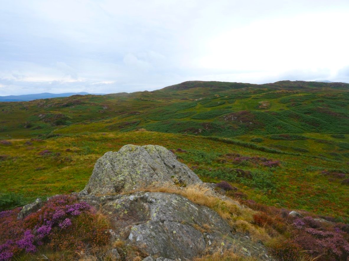
On the top and looking to Stang Hill which again meant traveling over rough mainly pathless ground.
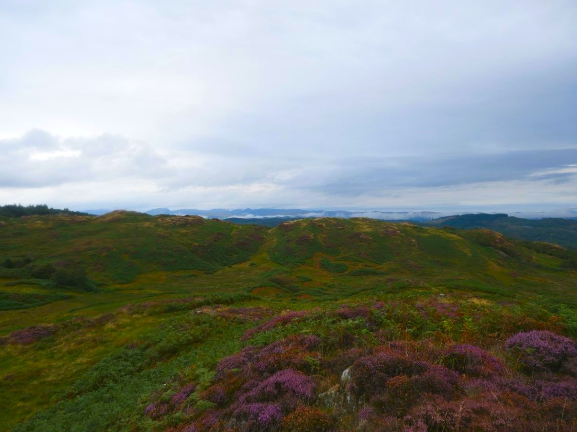
Perhaps because of the rough ground I did take the chance once or twice to escape and climb a small hill and from this one there is a view of the distant eastern fells with Red Screes prominent to the left and the pointed top of Ill Bell in the centre.
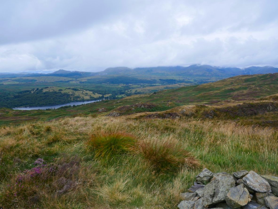
From Stang Hill I get my first view of Coniston Water and the Coniston Fells who's heads are mostly in the cloud.
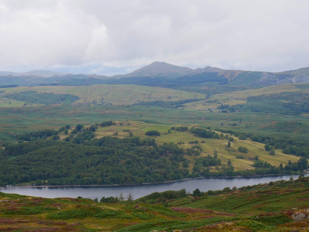
Although Caw and Pikes are clear.
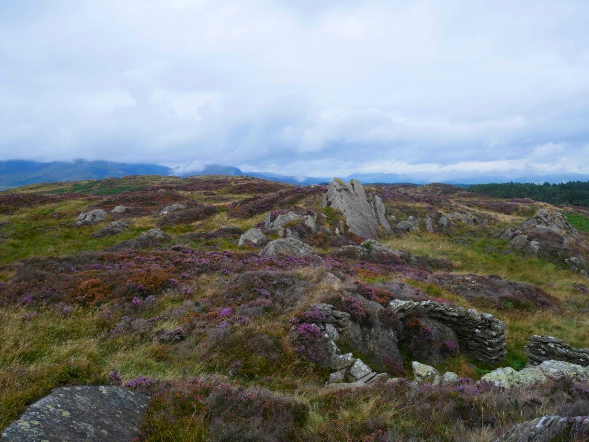
There is a well walked path from Stang Hill to Arnsbarrow Hill so It didn't take too long to get there. There is a small shelter just below the summit.
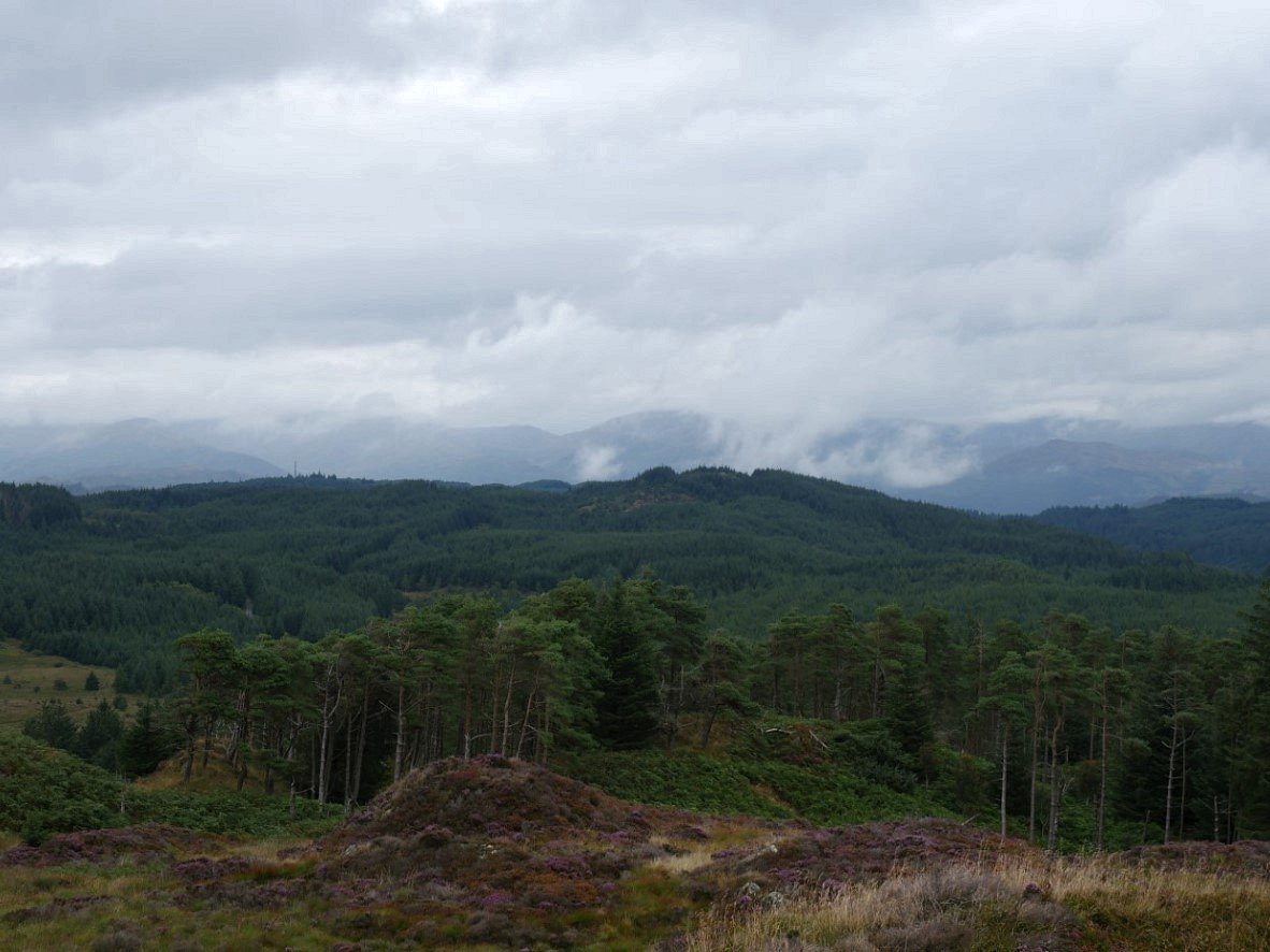
My next stop was Heel Toe Hill and to be honest who could resist climbing a hill with a name like that. The high ground in the forest is Carron Crag. It did start to spit with rain here but thankfully lasted only a few minutes.
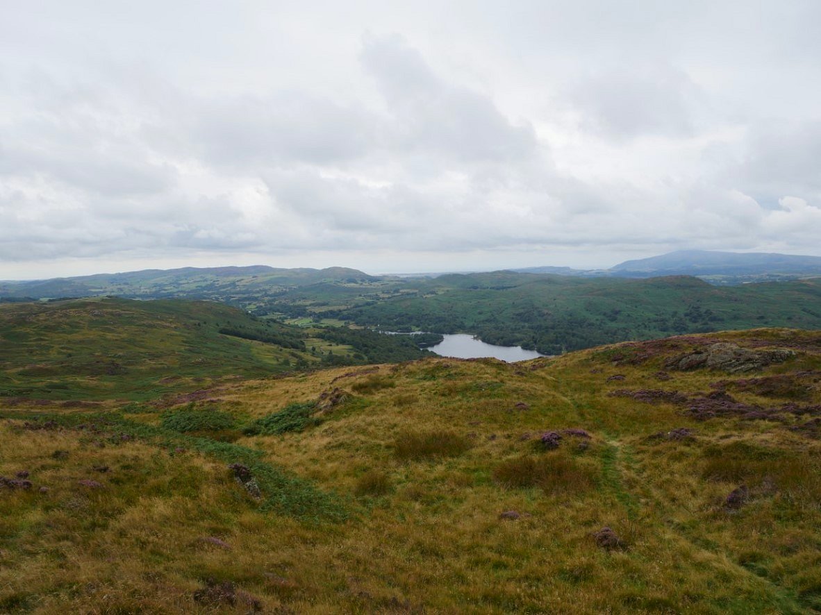
From Heel Toe Hill it's a short walk to Top 'O Selside which is just about my highest hill of the day. From here I turned back southwards and down hill.
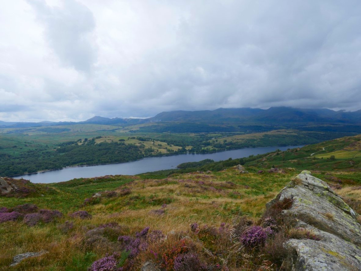
The cloud is showing no signs of lifting. This is from another little bump just before I reach High Light Haw.
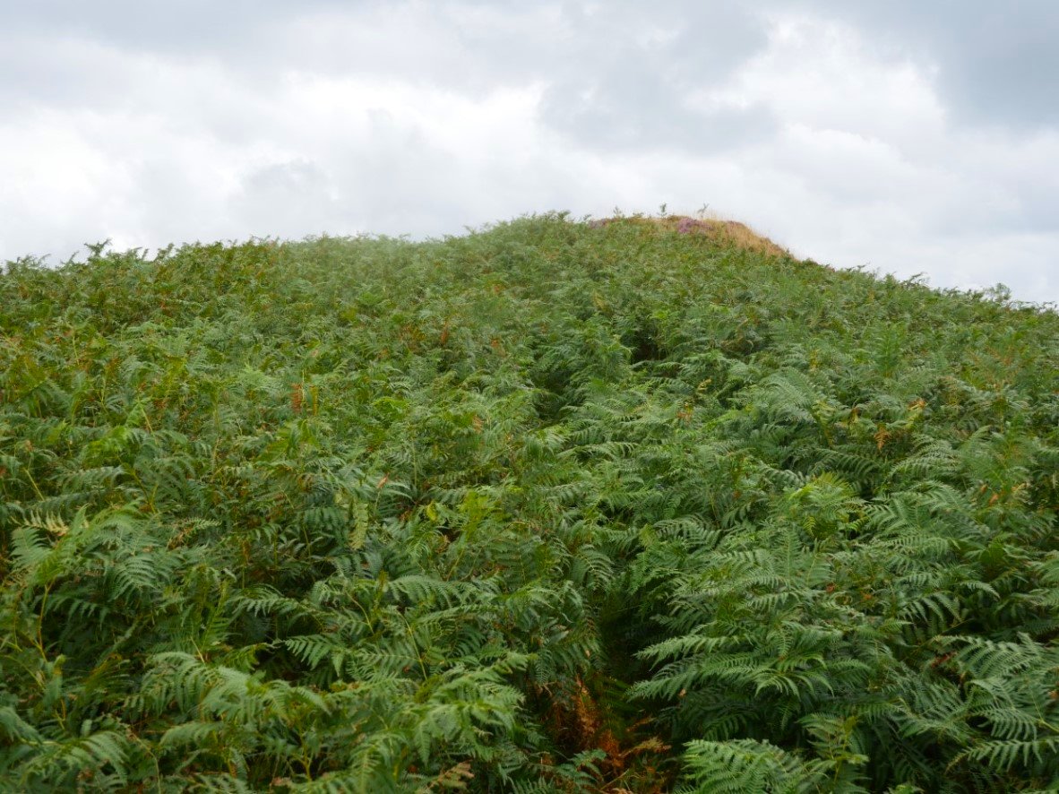
Which was quite well defended. I'm getting a bit fed up of this bracken !
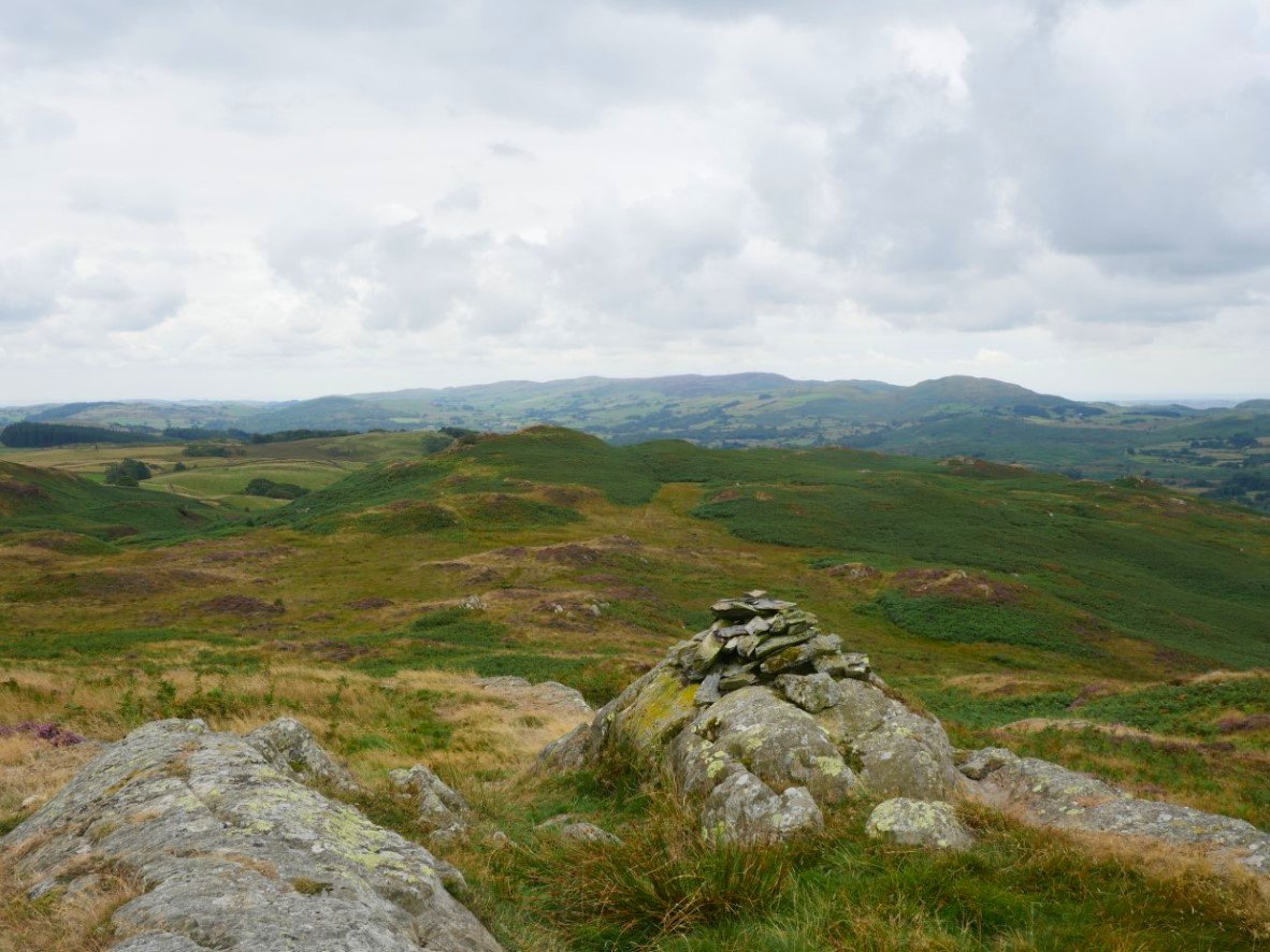
Great Burney and the Lowick fells from the top of High Light Haw.
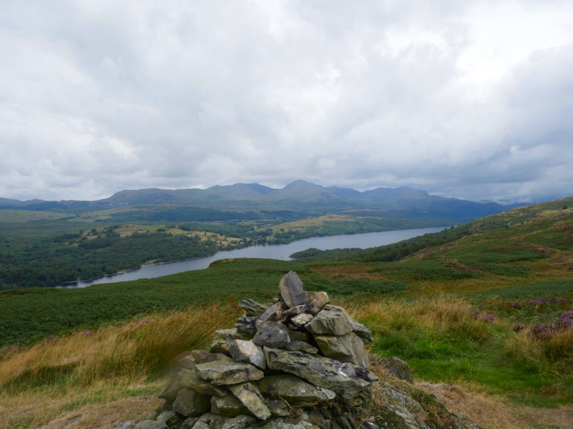
In the ten minutes it took me to get to Low Light Haw the Coniston fells have cleared.
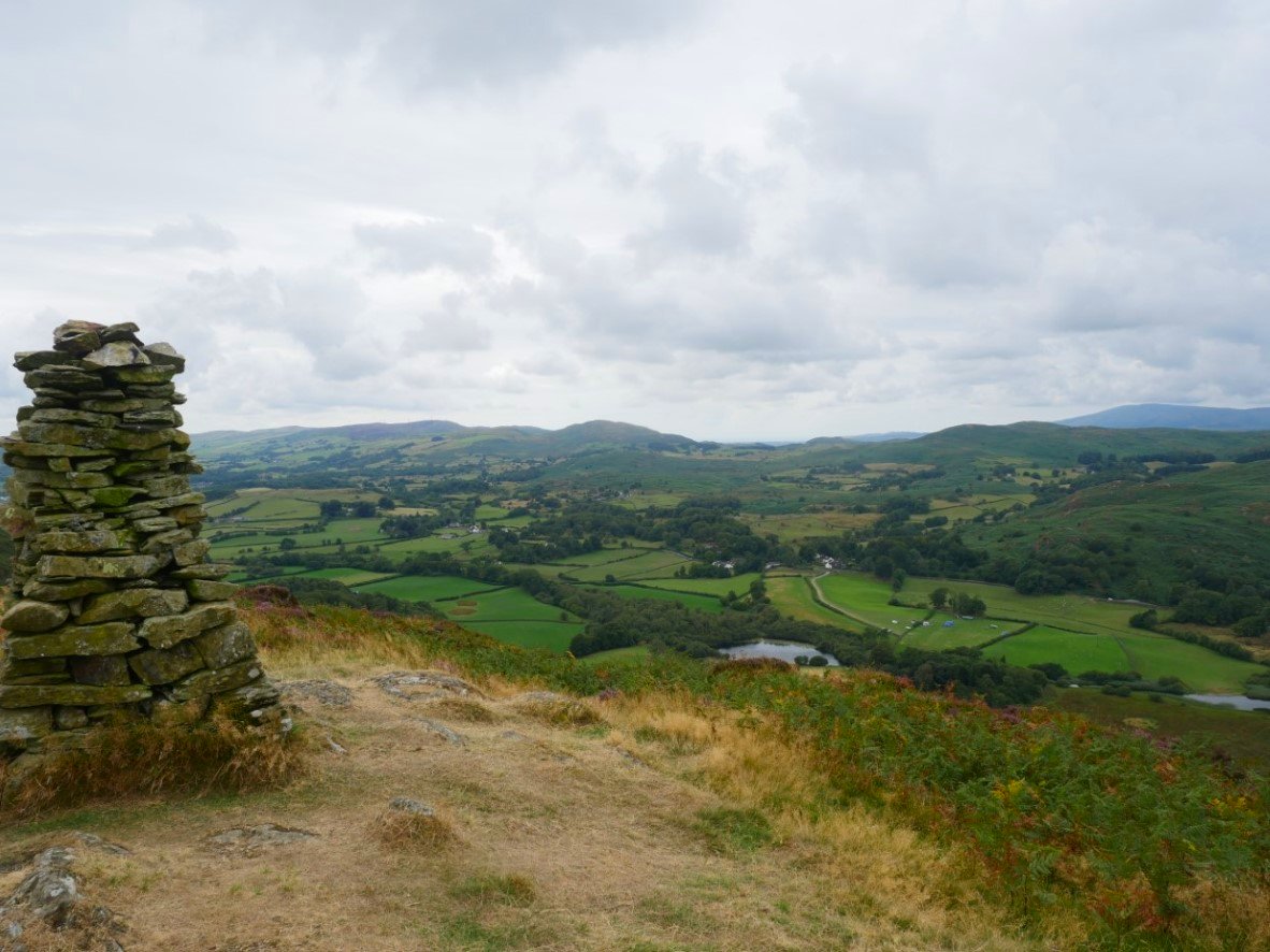
The impressive cairn on Brock Barrow. Allan Tarn below.
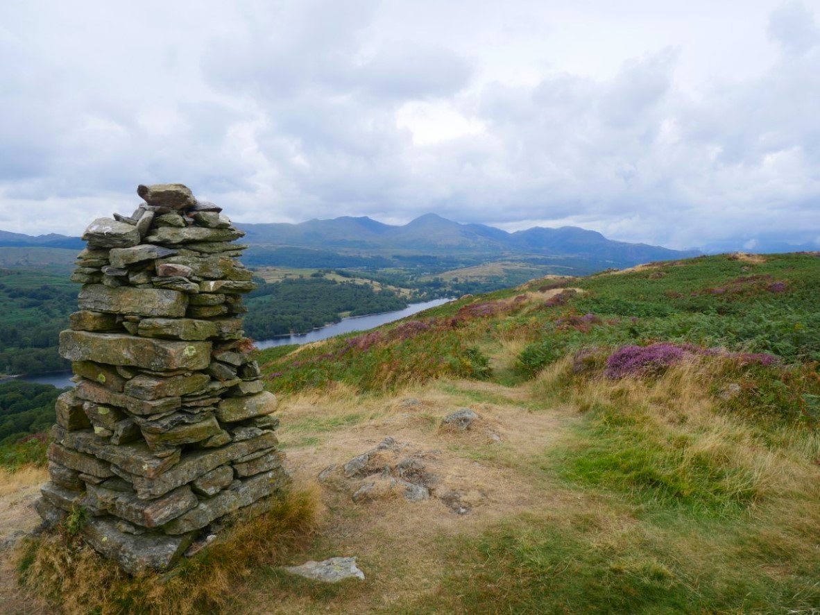
Those Coniston fells again. From here I followed the good path which leads back to Nibthwaite until I turned back uphill following Caws Beck, this was a very difficult section with the very high bracken but I did manage to get down to the stream bed and across to better ground heading for the farm at High Bethecar.
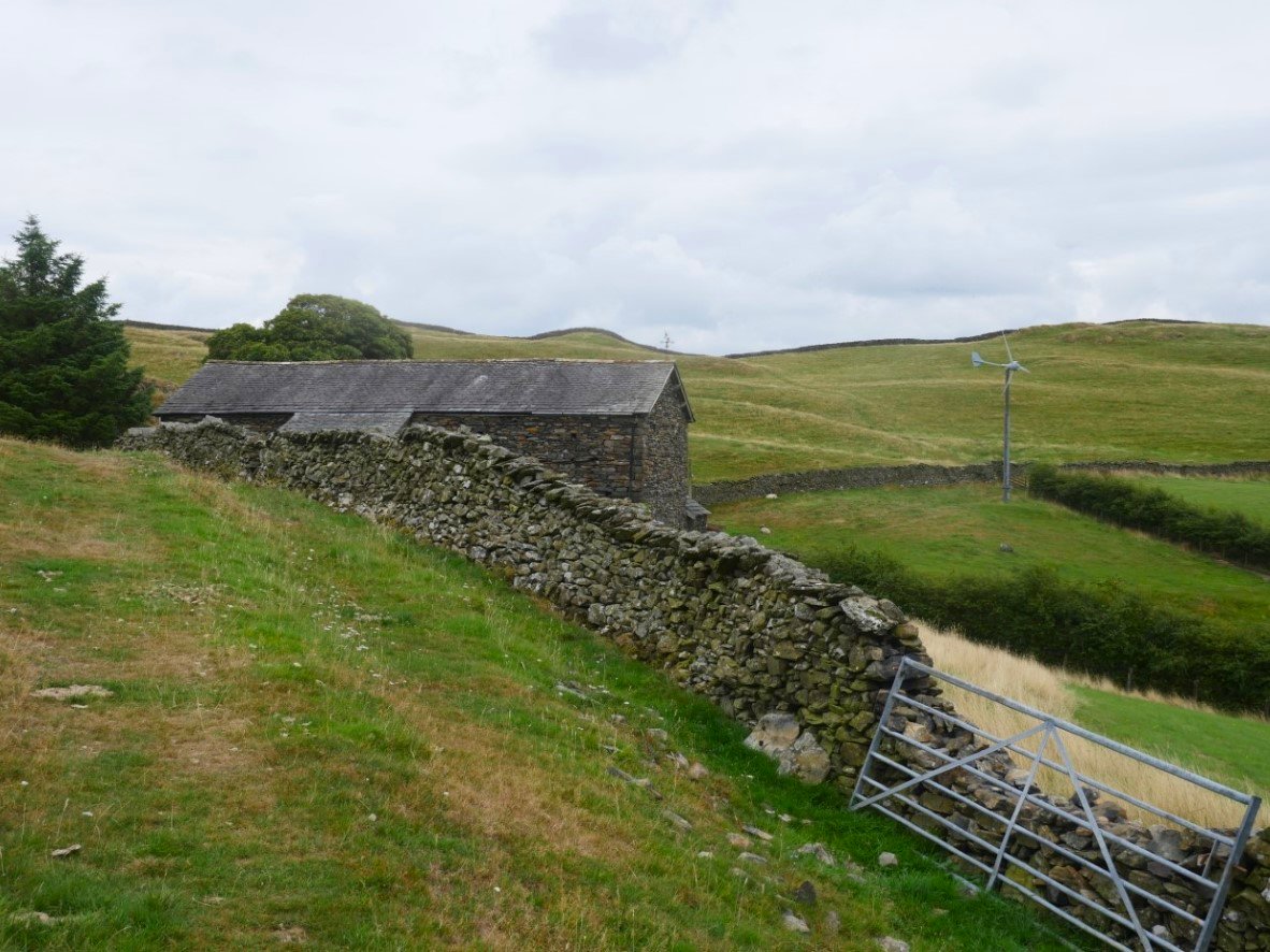
And there's the farm at High Bethecar.
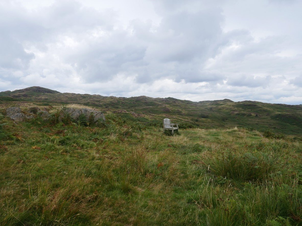
I came across this bench seemingly in the middle of nowhere. It was dedicated to Robert Milburn who farmed Stock Farm and walked these fells for years gathering sheep.
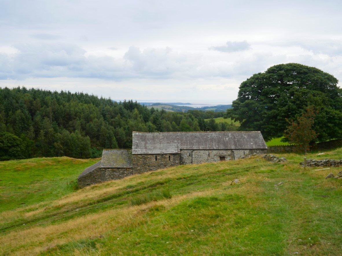
Low Bethacar. This part of the Lakes couldn't be more different than where I was last week but I think it's just as beautiful in it's own way.
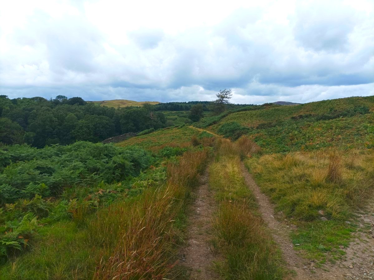
Looking back to the higher ground from the track down to Abbot Park.
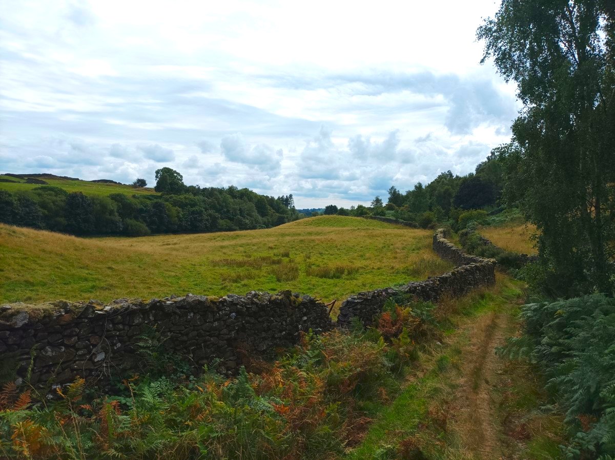
Another lovely old track just outside Oxen Park.
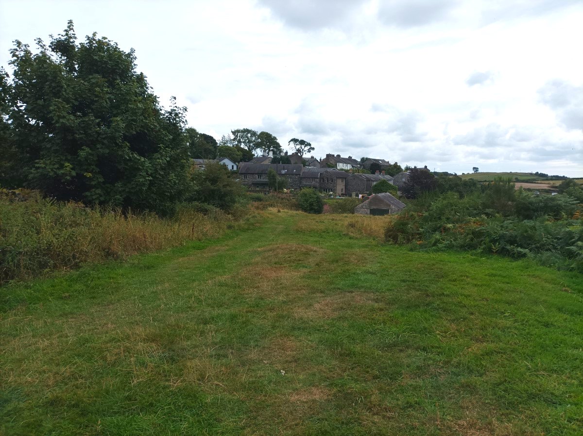
Back to Oxen Park and my car. I did see that there is a small car park just down the hill off the main road through the village.
Previous walk -- Scafell Pike from Cockley Beck - Next walk - Bannisdale, Borrowdale, Crookdale and a night on Yarlside Crag