WWW.KARLSWALKS.CO.UK
PICTURES AND TRIP REPORTS FROM MY WALKS IN THE ENGLISH LAKE DISTRICT
|
E-mail - karl@karlswalks.co.uk |
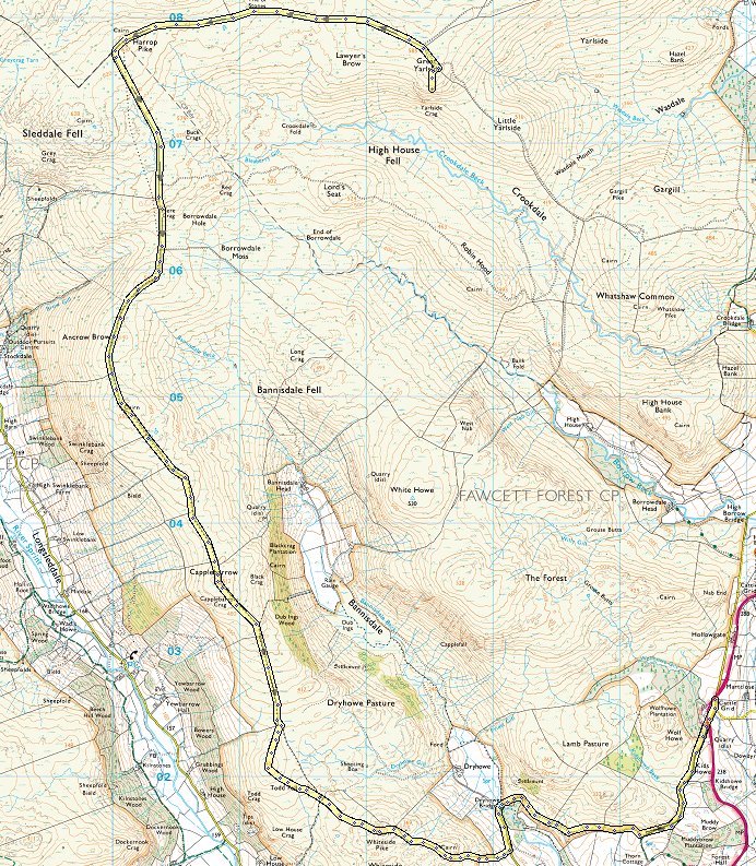
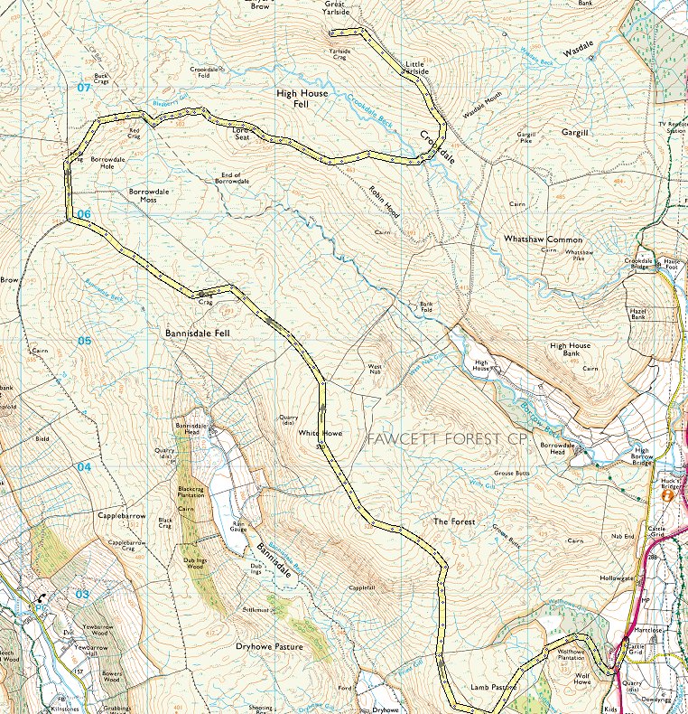
A walk this week on the grassy wide open fells to the west of the A6. I'd read that on Saturday there were hundreds of people walking up Birkhouse Moor to Helvellyn, if you don't fancy that you should come here. I saw nobody on Saturday and only five on Sunday, one girl out early bagging the Wainwrights of Grey Crag and Tarn Crag and four starting out on the Bannisdale Horseshoe.
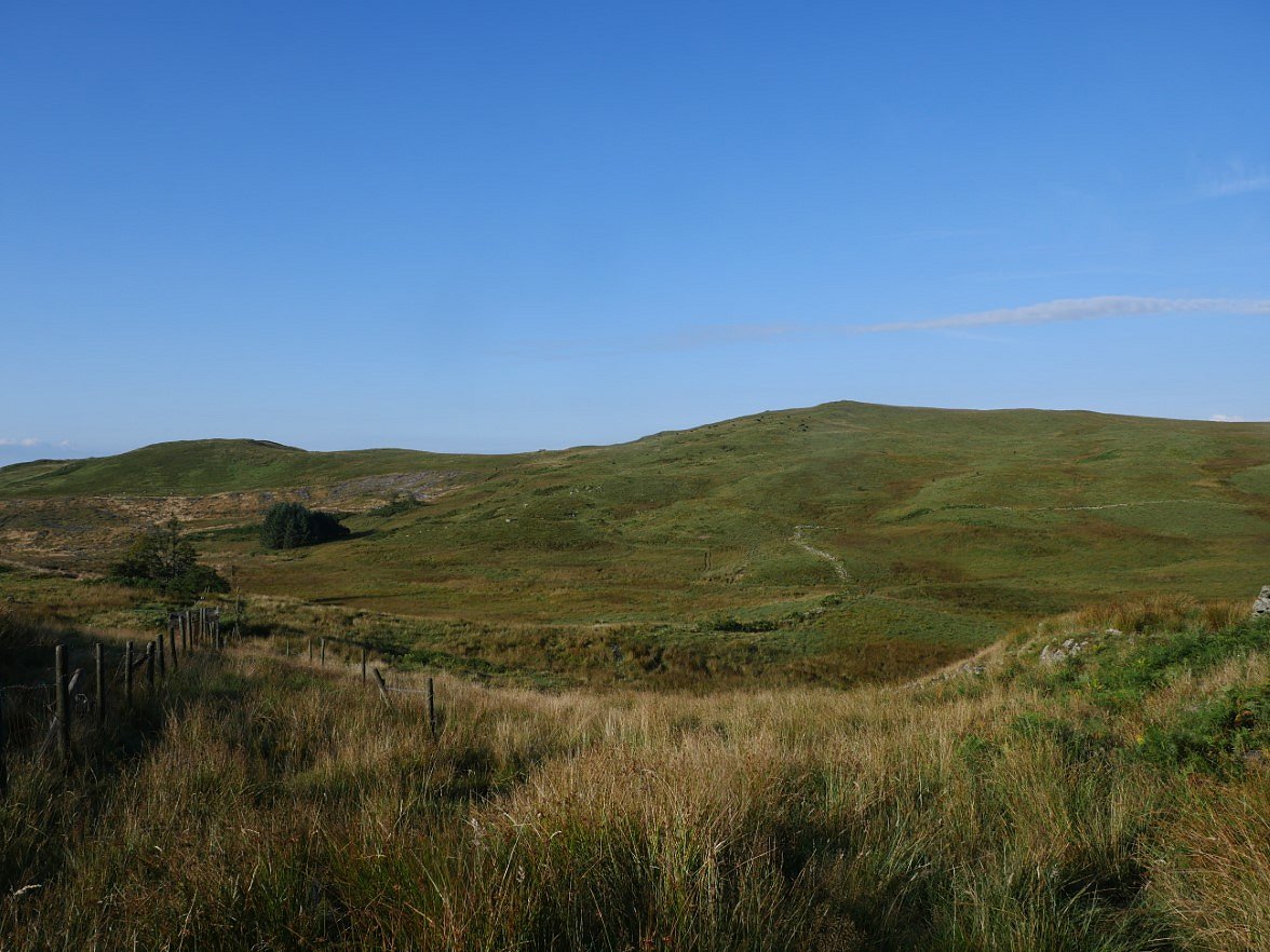
I parked in a lay-by on the A6 just up the road from Kendal Caravans. I was originally intending to climb up by Wolf Howe but saw that there was a track going up through the trees so I followed that instead. This wasn't on access land but there were no "private" signs so I quickly walked up to where it met the open fell. The top of Lamb Pasture is the hill ahead but there were quite a few cattle with calves just below the top so I had to divert over to the left to get a fence between me and them.
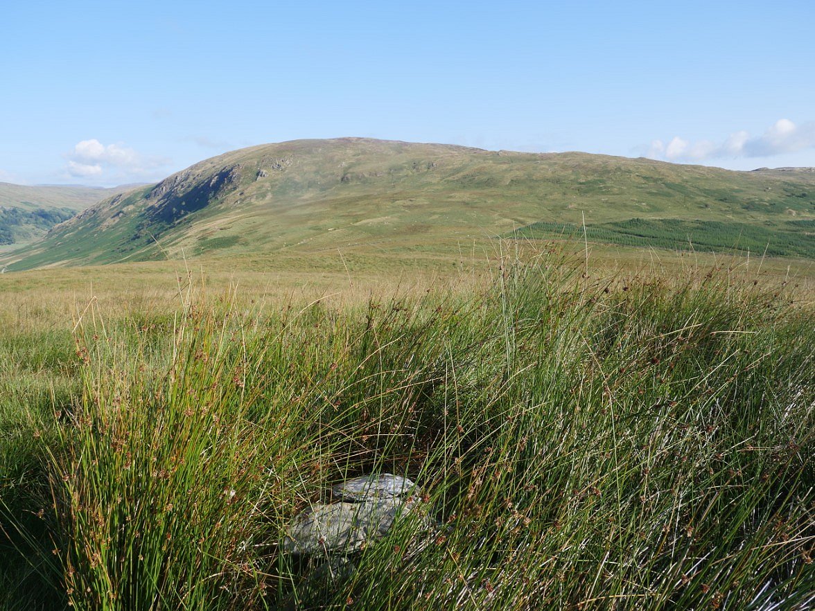
Borrowdale Head from the small pile of stones which marks the top of Lamb Pasture.
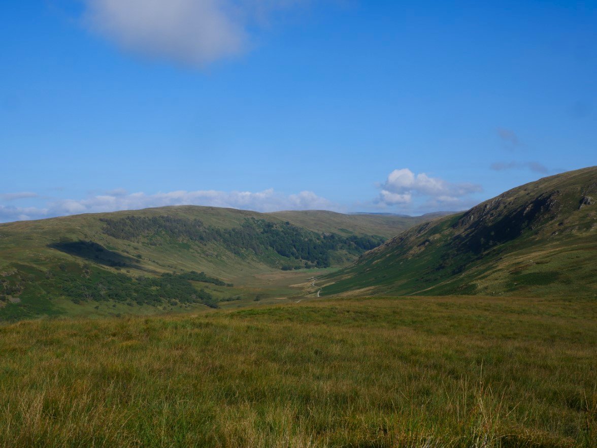
The Bannisdale valley is below. I'll be walking back along the hills to the left of it tomorrow.
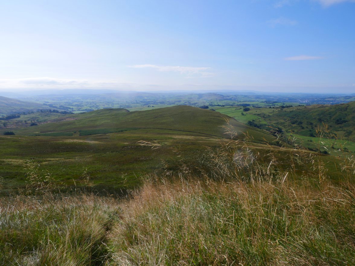
Looking back down to Lamb Pasture from the top of the steep little climb up away from the boggy field. Even with the dry summer we've had this was still wet and I found it quite hard going.
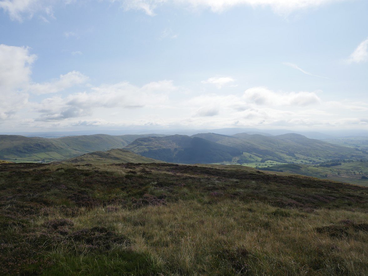
The Whinfell ridge on the eastern side of the A6 from Borrowdale head.
.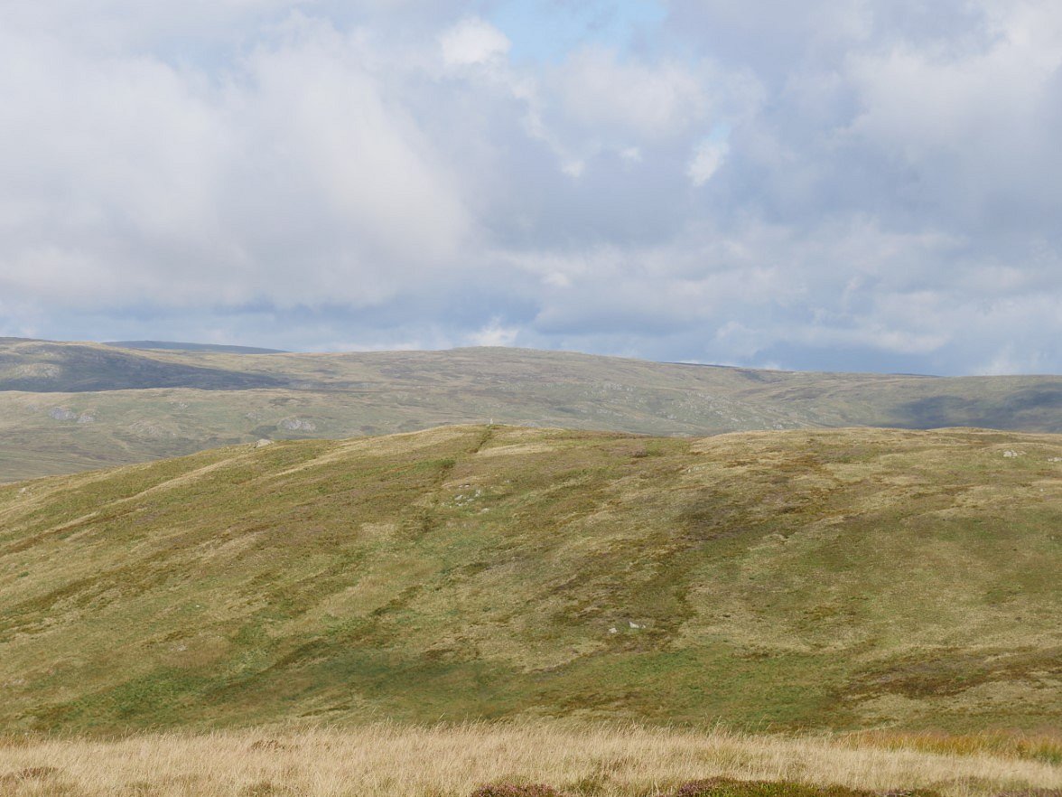
Next stop is White Howe. The trig point on the top and the path to it can be clearly seen.
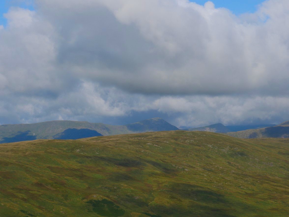
Yoke, Ill Bell and Froswick come into view over the top of Ancrow Brow.
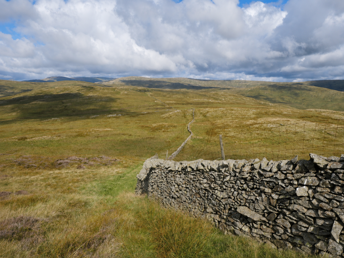
From White Howe I dropped down to the wall which would guide me to Long Crag. This is another one of those view points from which you can see the fells stretching out seemingly forever.
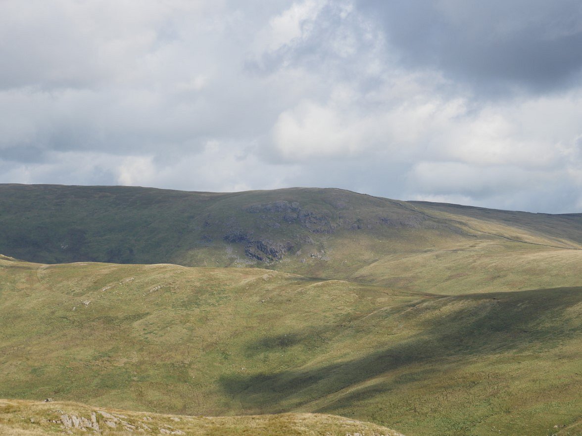
Over the wall I could see Yarlside Crag where I hoped to spend the night. A few more twists and turns to do before I get there though.
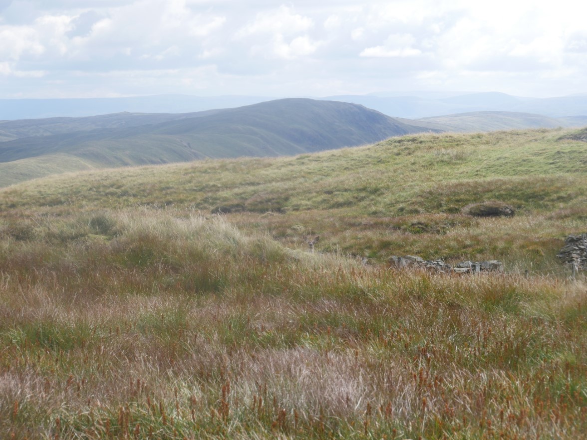
After making the short out and back to long Crag I settled down in a comfortable spot against a small rocky outcrop. Suddenly out of nowhere a deer came trotting past no more than twenty feet away, gave me a comedy double take and legged it off but it couldn't jump the wall so peeped out at me from the long grass.
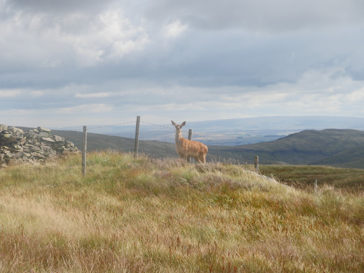
It then walked up along the fence no more than fifty feet way and stood watching me for a few minutes.
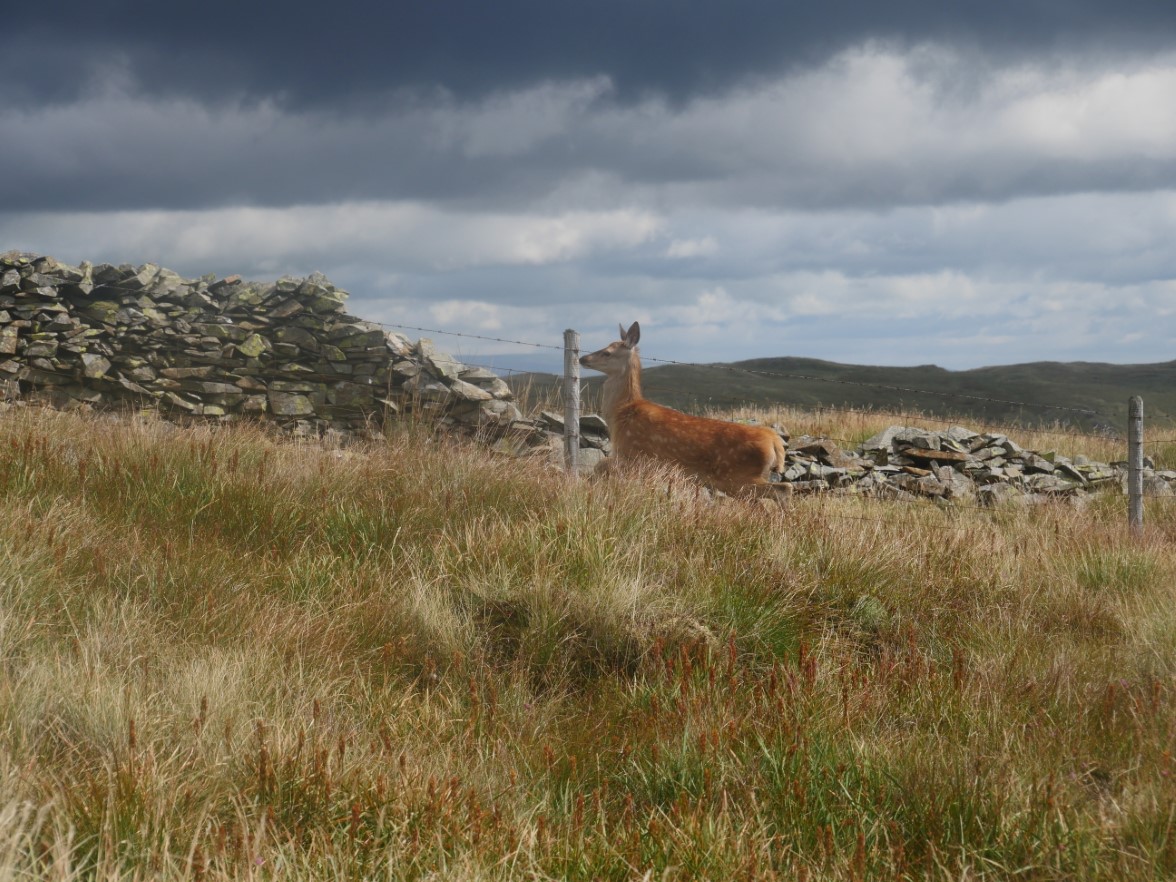
Deciding that I wasn't going to share my sandwich it made off.
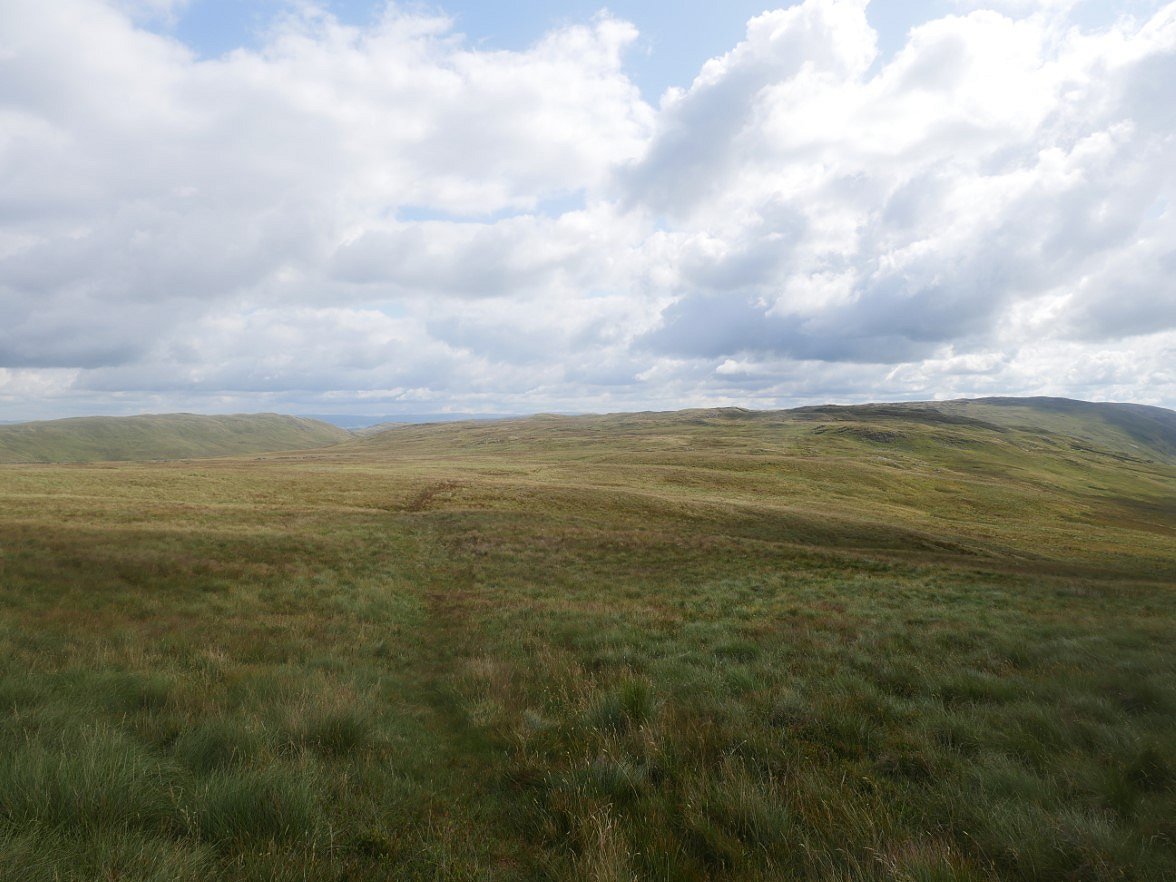
My planned route had me following the fence all the way to the head of Borrowdale Moss which would save me the ascent of the 540M top at the end of Bannisdale but further along I got the boggier and harder the ground became so I reluctantly turned back and found the path up the Hill. This is looking back over Long Crag to White Howe.
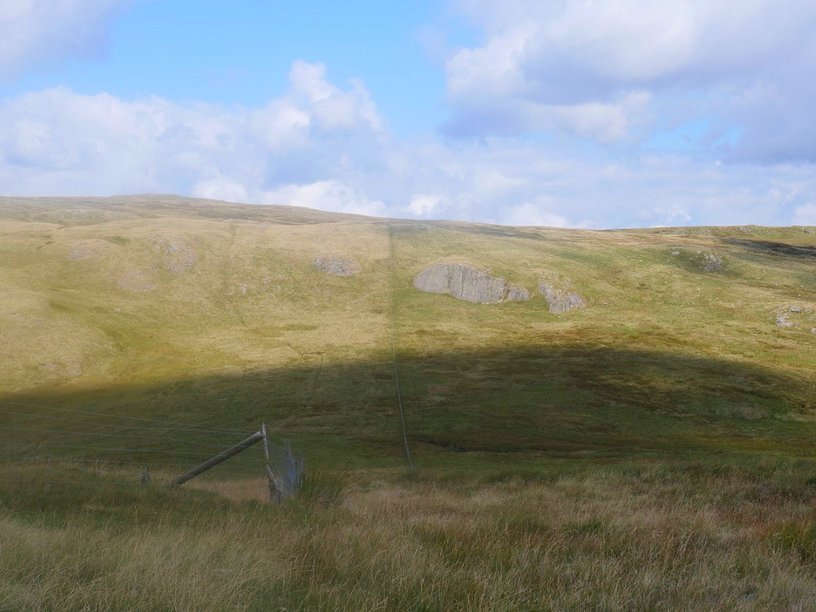
From the top I followed the fence down towards the distinctive Mere Crag but from just below the crag I made a right turn to cut the corner to meet the quad bike track leading past Red Crag and then on to Lord's Seat.
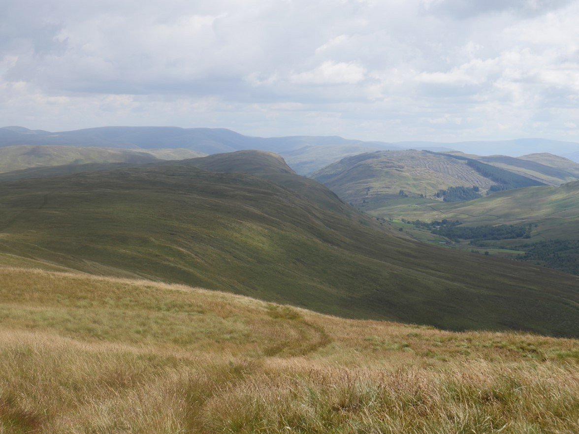
The western end of the Borrowdale valley is below with Ashstead Fell beyond that. Robin Hood and High House bank are the fells further along the ridge I'm on but I'm turning off before then to descend to Crookdale Beck.
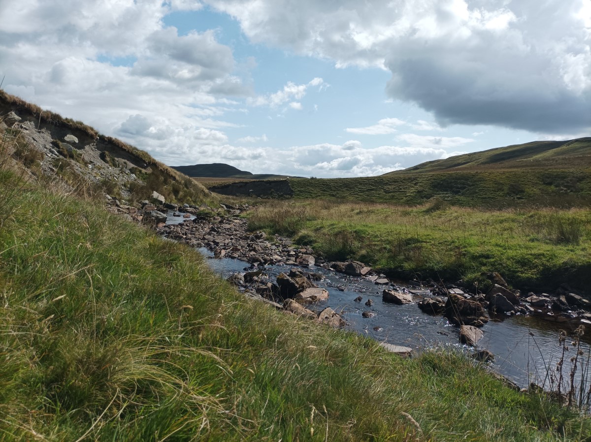
And here is Crookdale Beck.
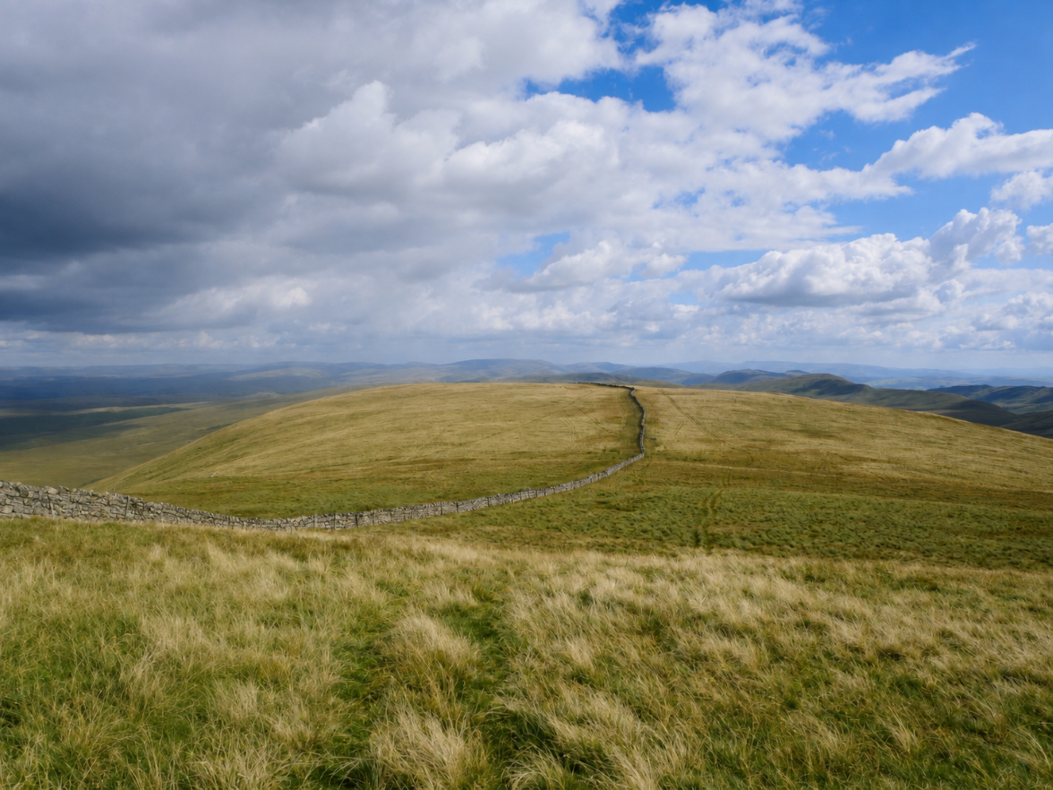
From the beck I climbed up another boggy field until I reached the wall climbing up to Little Yarlside This is looking back to Little Yarlside from my final climb of the day up to Yarlside Crag.
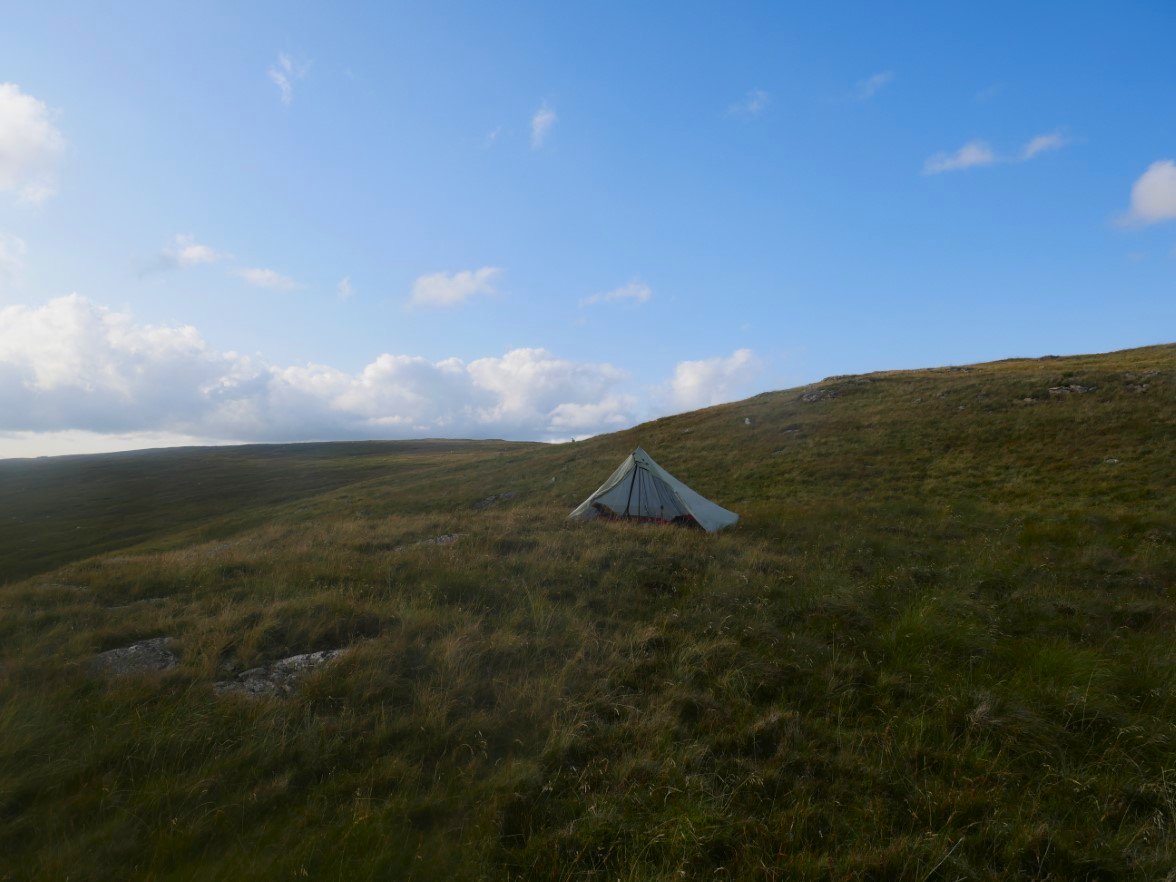
I found a nice flat flat pitch right on the top of the crag.
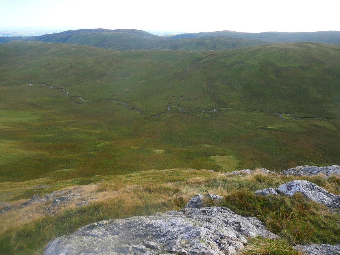
Crookdale below with the Lord's Seat ridge above then beyond that is the Long Crag ridge and in the distance the western leg of the Bannisdale Horseshoe which is my way home tomorrow.
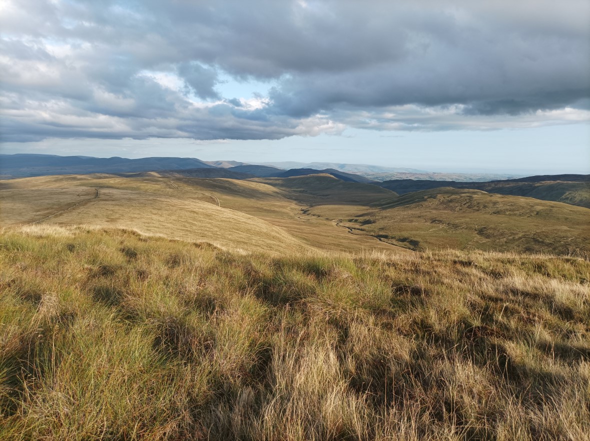
Later in the day the low sun gave a lovely glow to Crookdale.
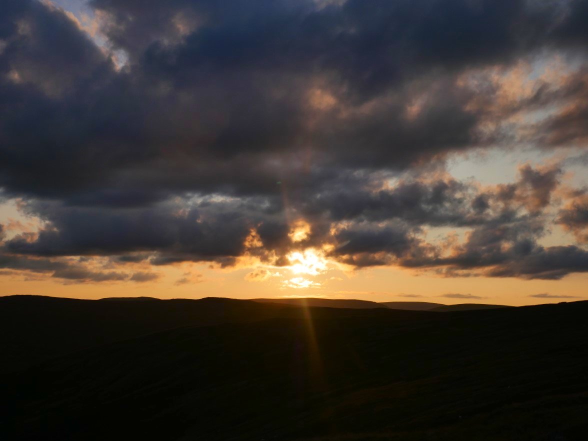
The sun sinking down behind Branstree and Selside.
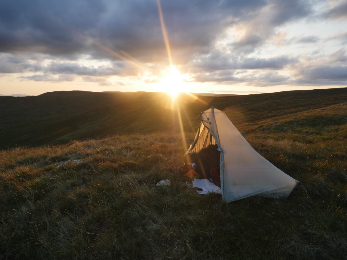
The end of a sometimes tiring but great days walking.
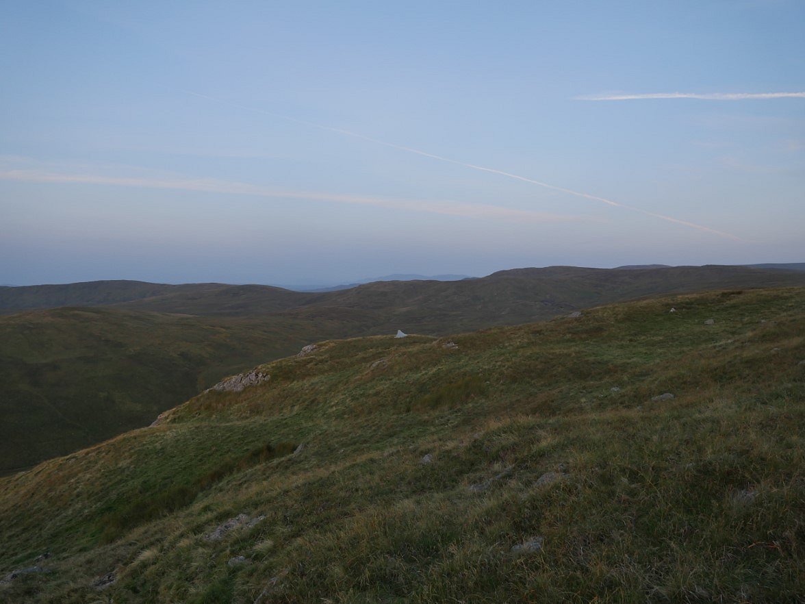
I was up early and climbed further up Great Yarlside so I could see the sun rising. My pitch from my path up the fell.
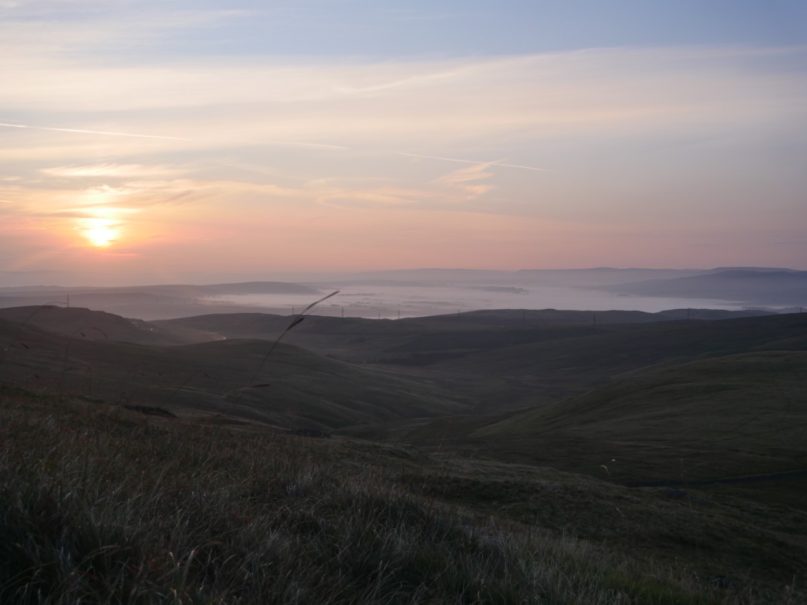
Another lovely morning with just a touch of an Autumn chill, not really cold but nice and fresh. I've noticed before that the Eden Valley is often under an Inversion.
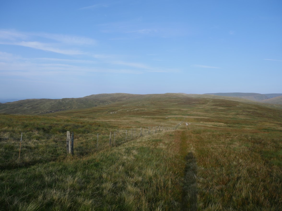
Up over Yarlside and following the fence to Harrop Pike.
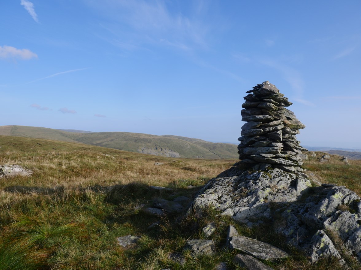
The quarry on the side of Branstree from Harrop Pike. This is where I met my first person of the weekend a Wainwright bagger heading for Tarn Crag.
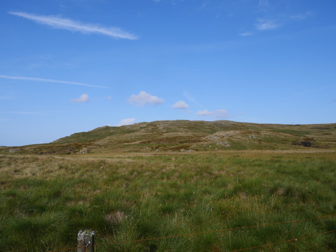
She had come from Grey Crag.
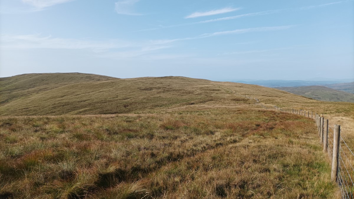
It's now just a case of following the fence all the way along the western leg of the Bannisdale Horseshoe.
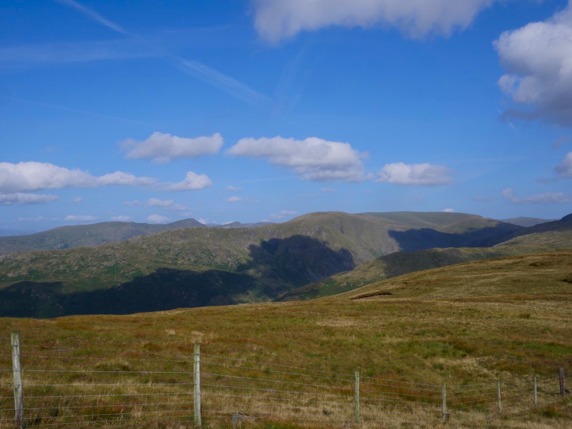
And just across Longsleddale is another horseshoe, the Kentmere one.
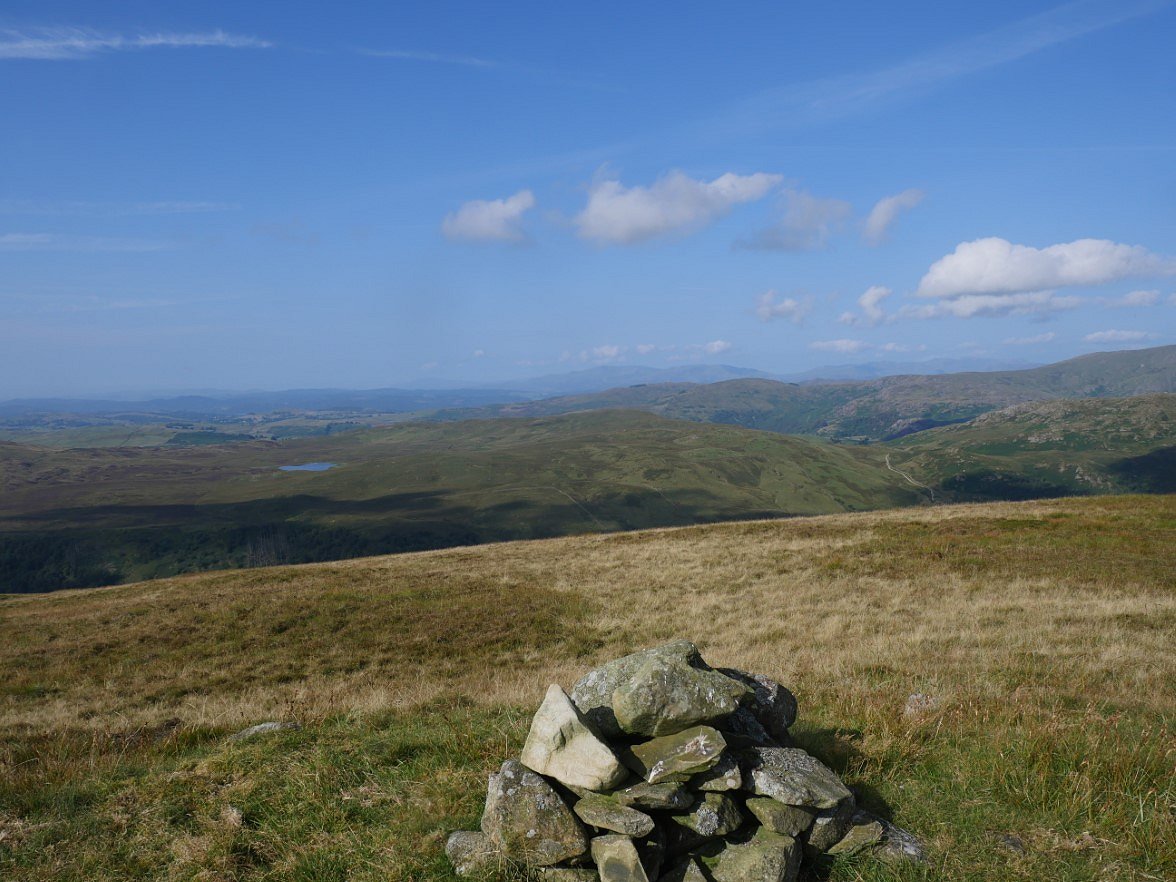
Skeggles water and Green Quarter Fell from Ancrow Brow.
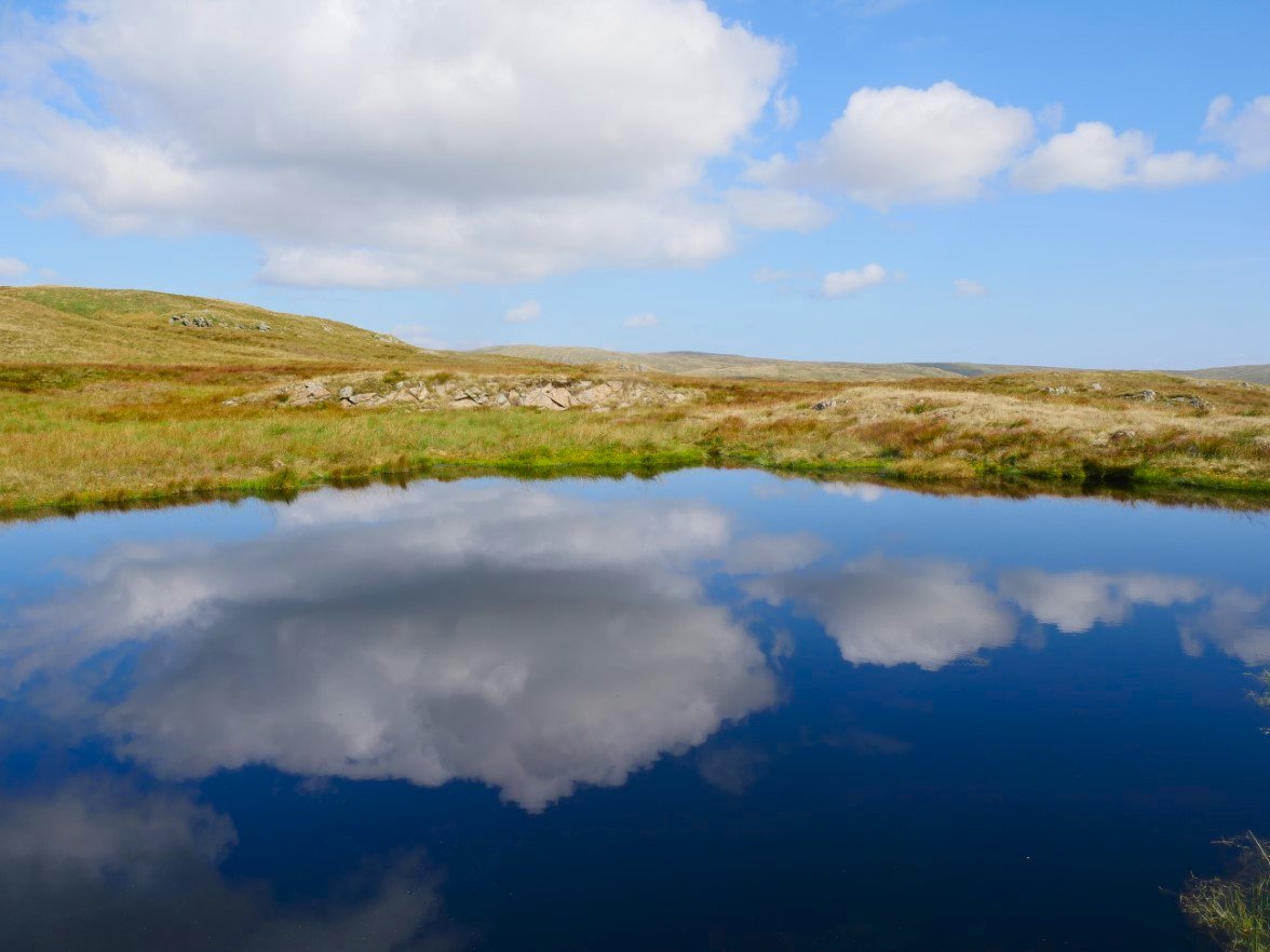
Just beyond the 555M top of Ancrow Brow is this little tarn which today in the sunshine looked particularly attractive.
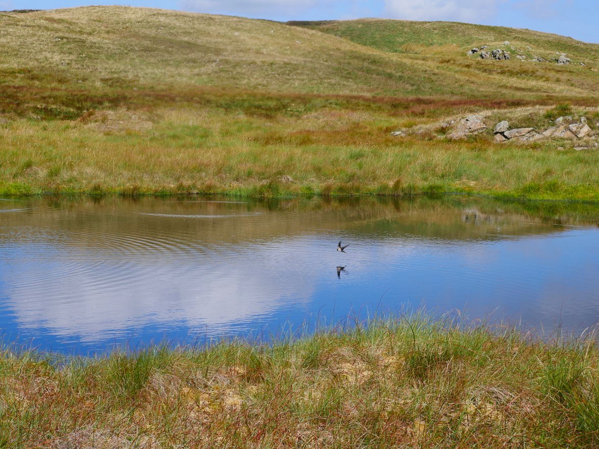
I sat for quite a while watching swallows skimming along the water gobbling up insects.
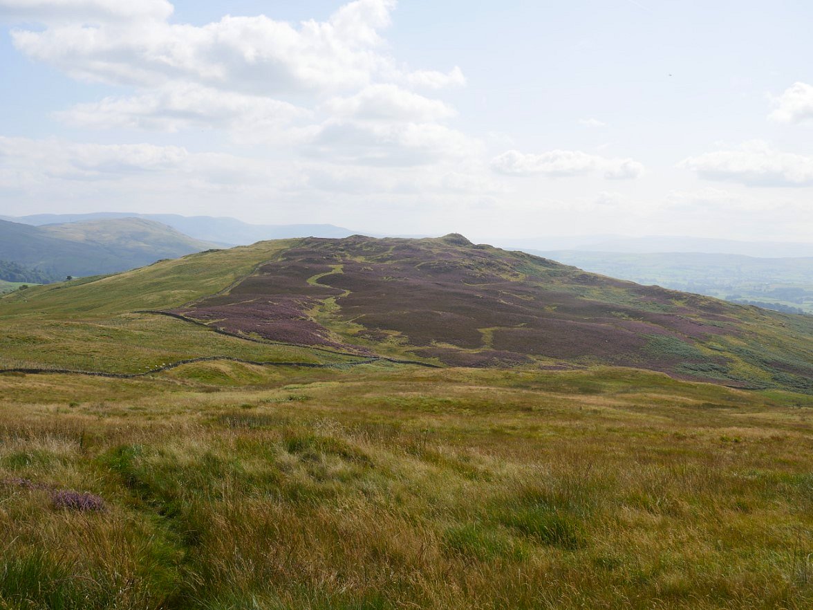
The path now meanders a bit to avoid the wettest patches all the time losing height. At a ladder stile you make the easy climb to Todd Fell from where I can see my final fell of the day Whiteside Pike. There was quite a clear path to follow down to the wall junction below where there are through steps.
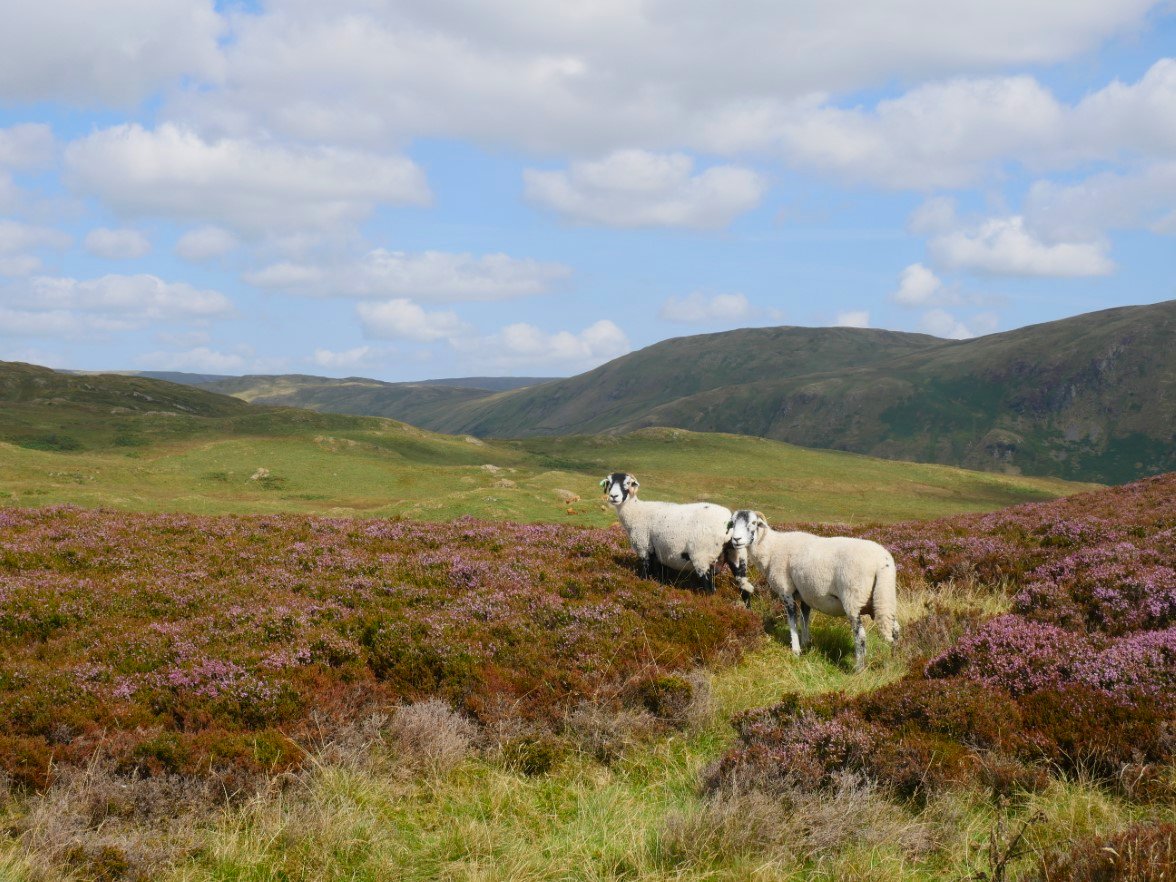
White Howe from the path through the heather to the summit rocks of Whiteside Pike.
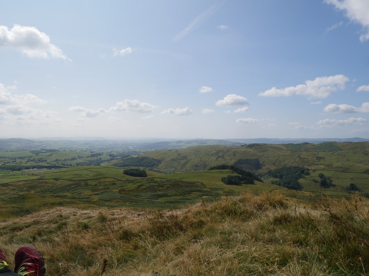
Murthwaite Knott in the trees with Potter Fell across the southern end of Longsleddale.
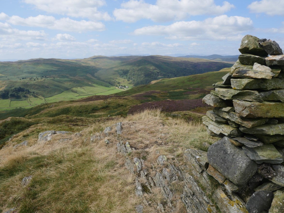
The fine cairn on Whiteside Pike. Further north across Longsleddale is Dockernook Crag above the trees with Sleddale Forest and Brunt Knott above.
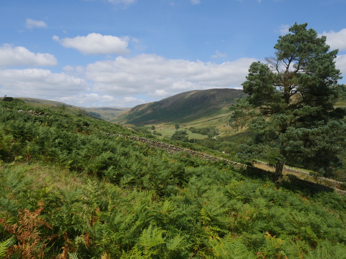
I made my way roughly handrailing the wall down to the road to Dryhowe Bridge. The Bannisdale Valley stretches out into the distance. I had to do a quick bit of trespassing to reach the road and the "keep out"signs which seem to come and go were back on the two gates.
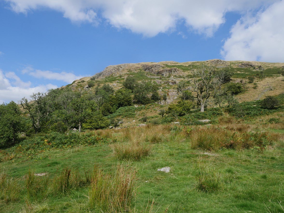
The rugged side of Lamb Pasture seen from the track which I think is the Old Shap road.
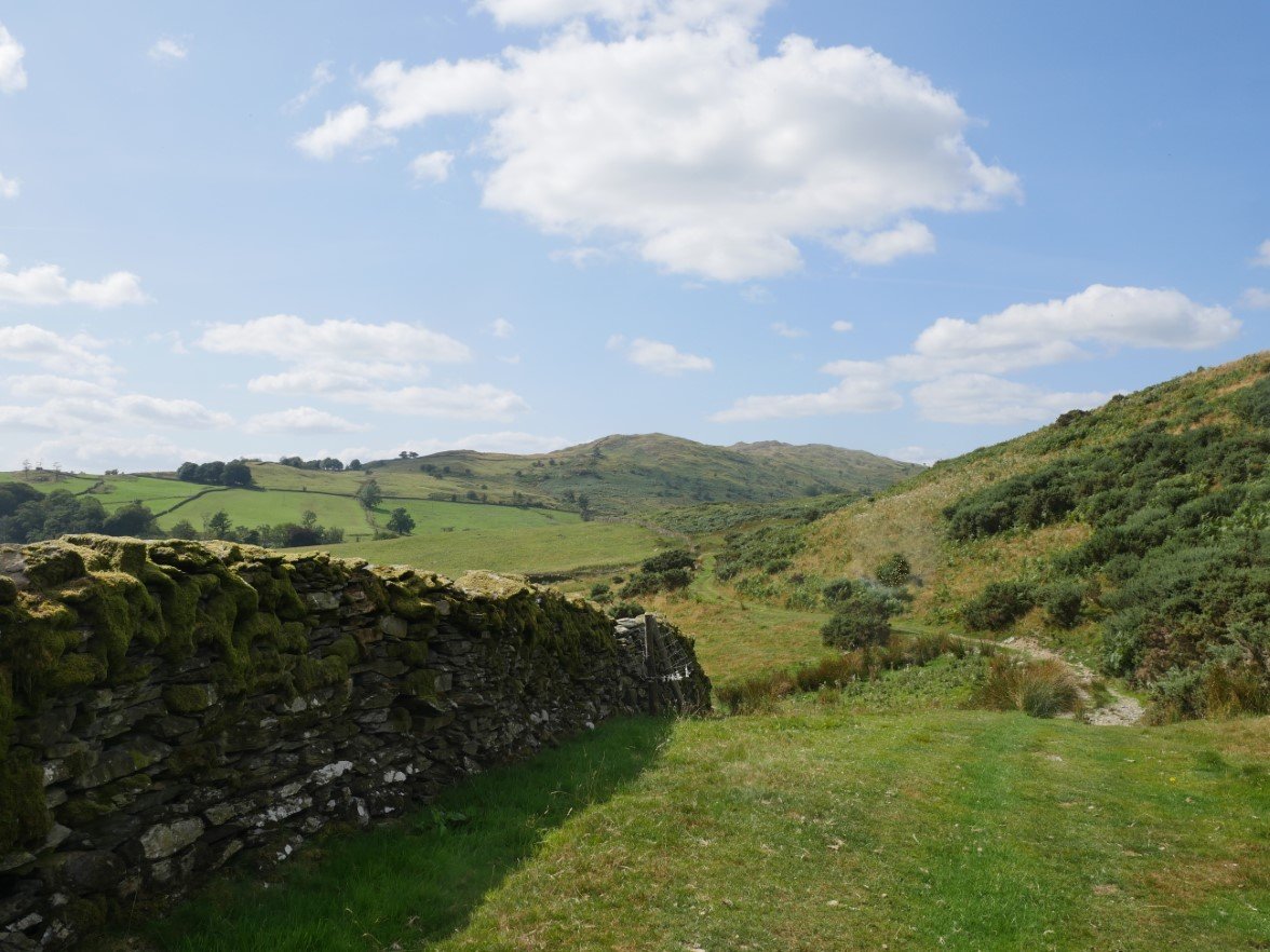
Whiteside Pike from the track. The track is well made as you'd expect if it used to carry traffic and it was very pleasant walking along in the afternoon sunshine knowing I hadn't far to go and soon I could hear the traffic on the A6.
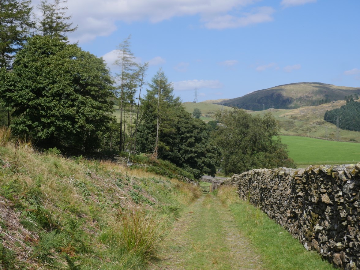
And finally back where I started.
Previous walk -- Bethecar Moor