WWW.KARLSWALKS.CO.UK
PICTURES AND TRIP REPORTS FROM MY WALKS IN THE ENGLISH LAKE DISTRICT
|
E-mail - karl@karlswalks.co.uk |
January 2025 has been a frustrating month for me regarding getting out for a walk. At the end of the first week I was struck down with a nasty virus which took nearly a fortnight to completely recover from and pretty much immediately after I had a recurrence of the trapped nerve in my shoulder which took me over a week to get over. I missed out on all the blue sky snowy days which was very annoying but I saw there was a small weather window of a few hours which enabled to get out on a short but interesting walk.
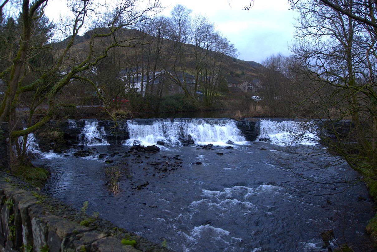
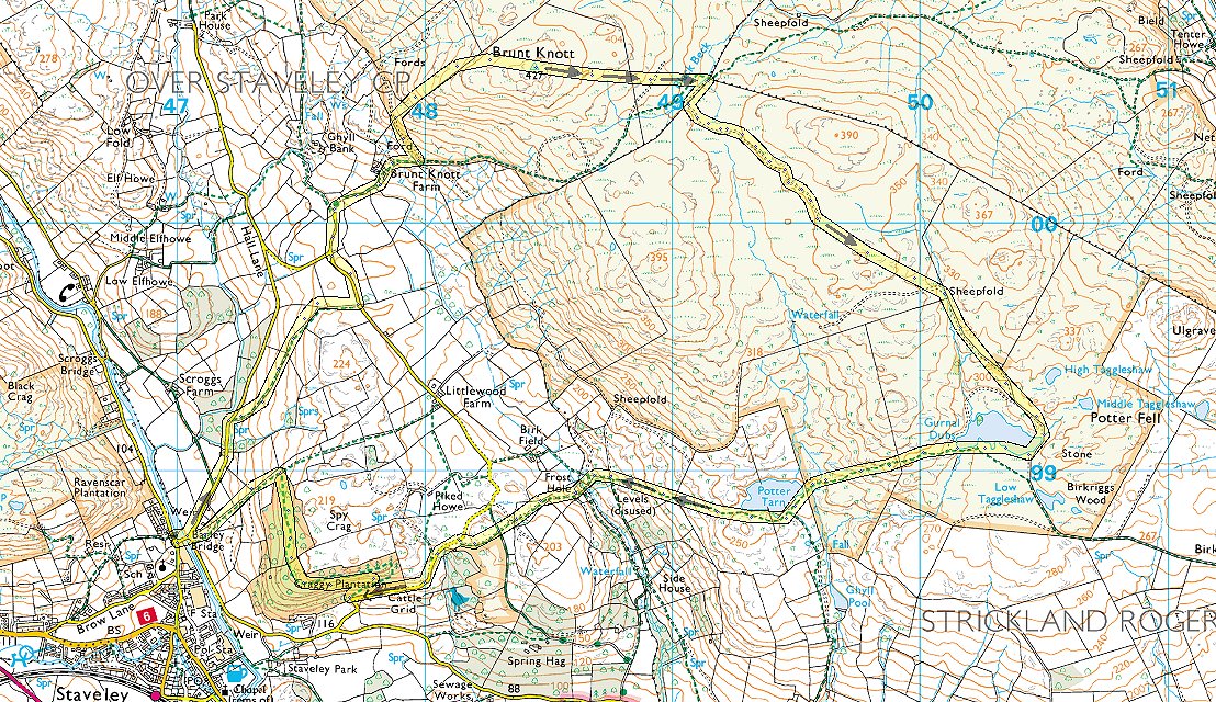
Rain was due around lunchtime so I set out quite early from Staveley crossing Barley Bridge heading up the lane towards Brunt Knott. This is the river Kent coming over the weir at Staveley.
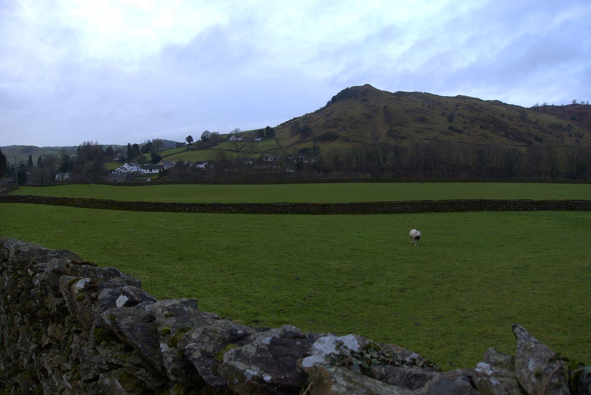
Reston Scar on the otherside of the village.
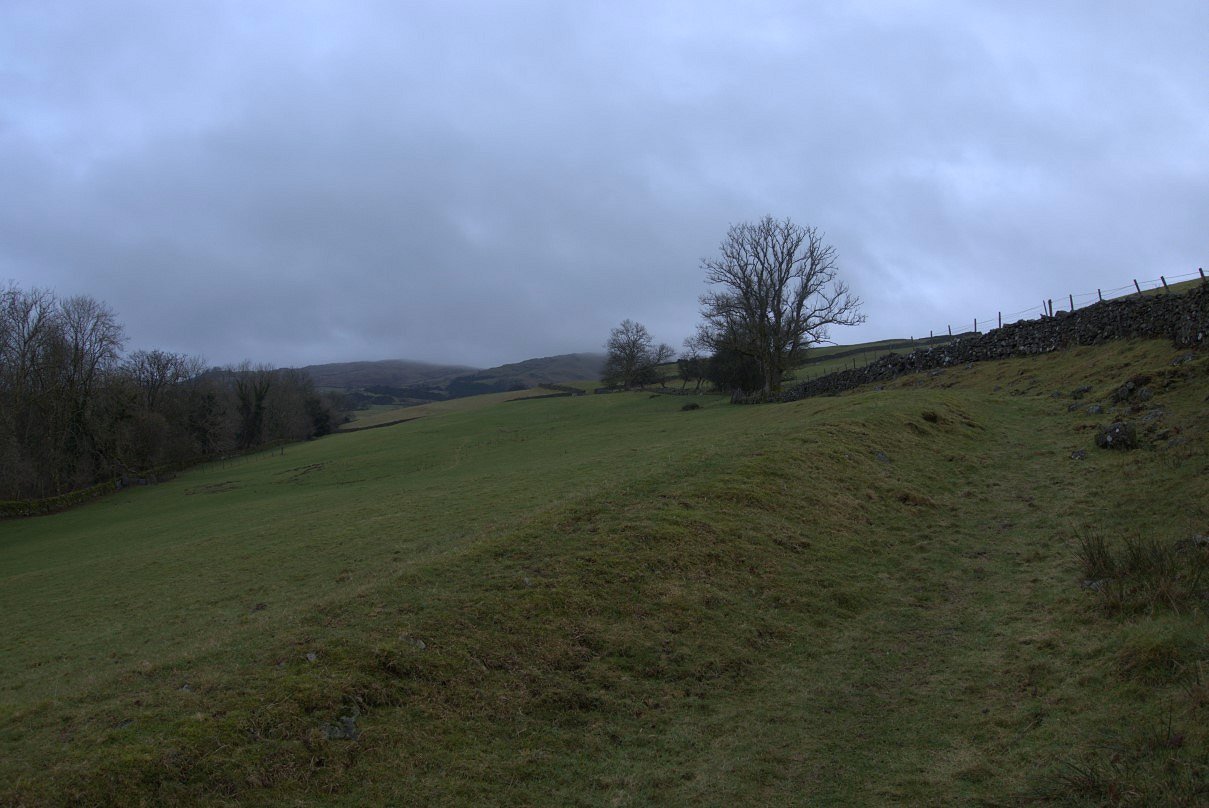
After a short road walk you can climb over a high ladder stile and take this ancient looking track over the fields and up the hill.
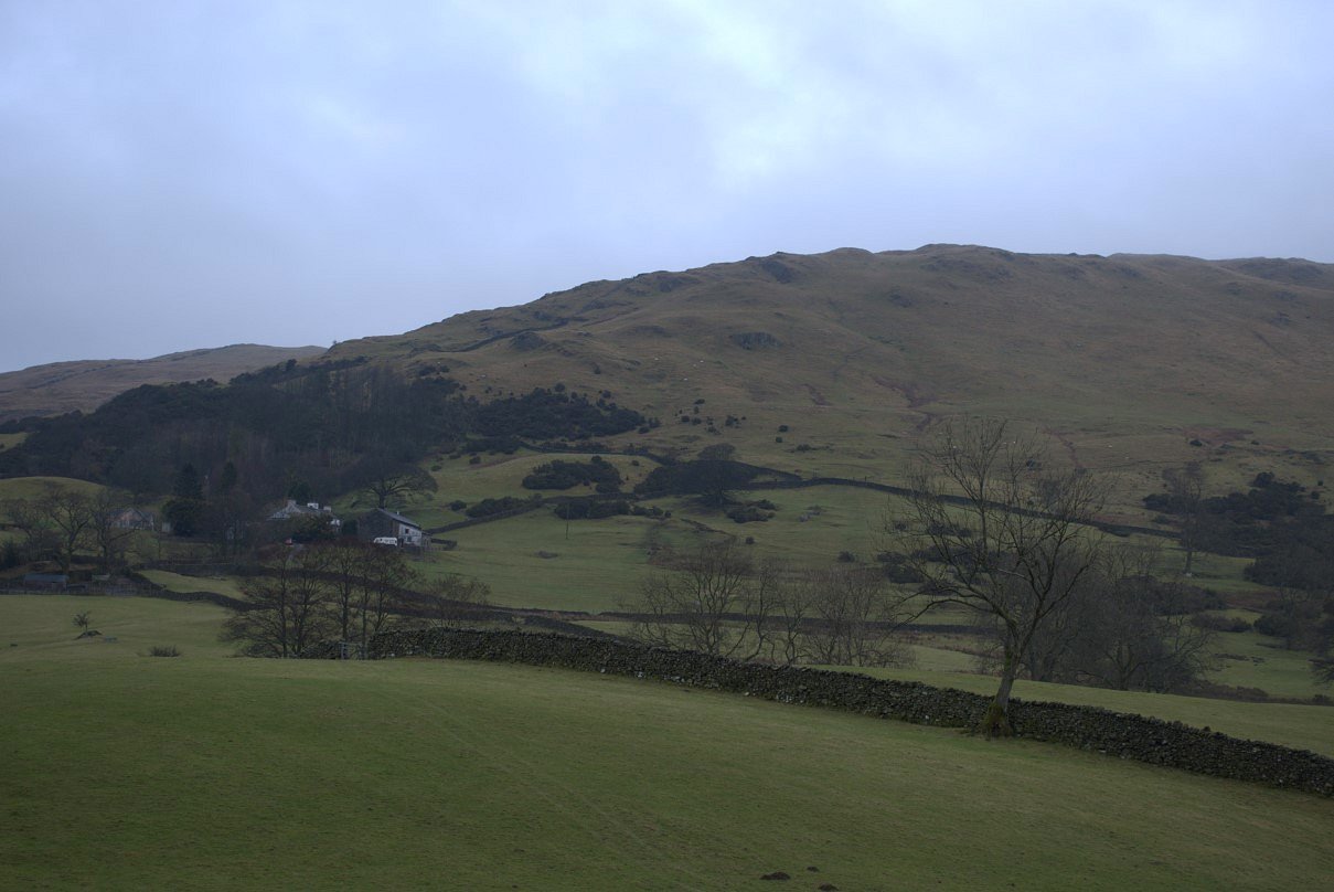
Brunt Knott farm with Brunt Knott above.
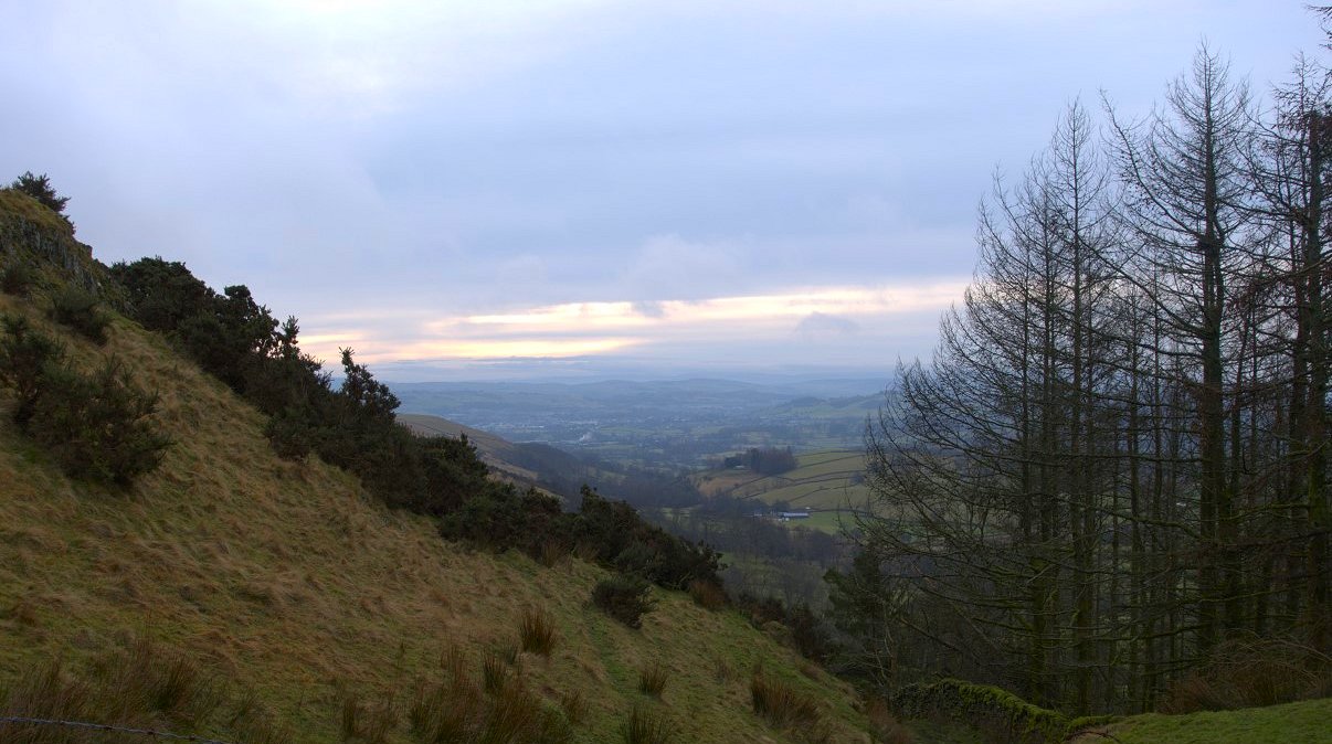
There are a few ways to climb Brunt Knott and today I turned off the main path and followed the bridleway which heads for High House till I reached the wall which leads to the summit. A little bit of colour in the sky.
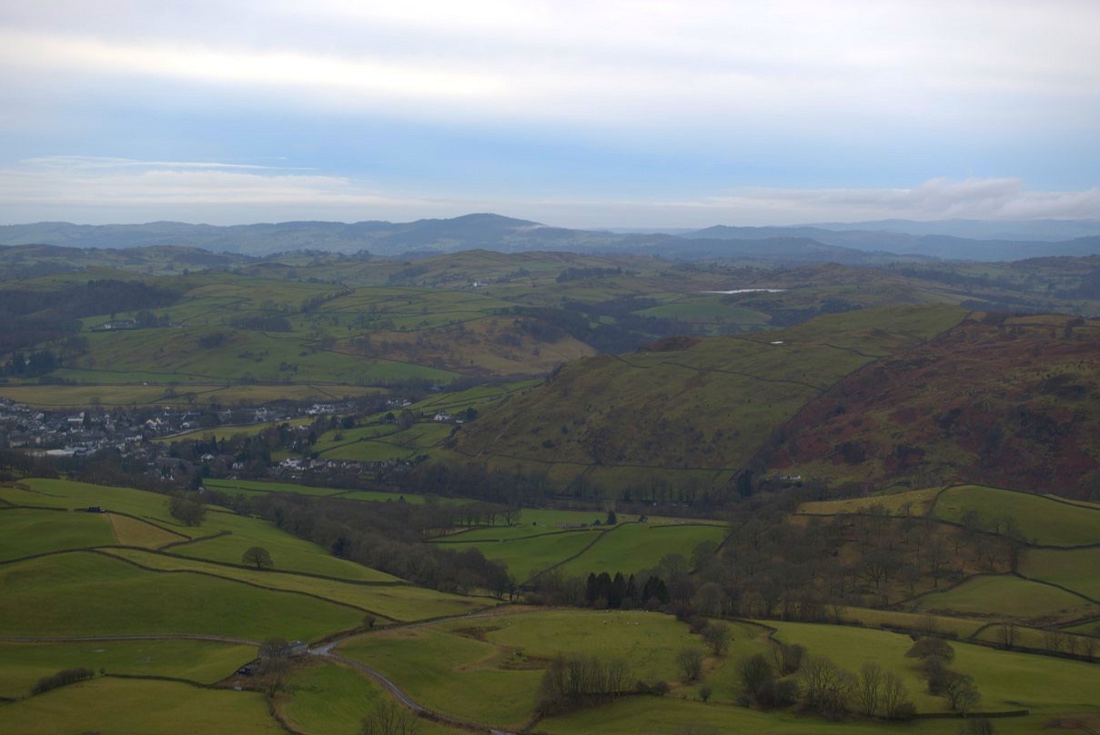
Looking back from the climb by the wall. I think the body of water is the unnamed reservoir above Windermere and I'm pretty sure the hill in the centre of the view is Gummer's How.
.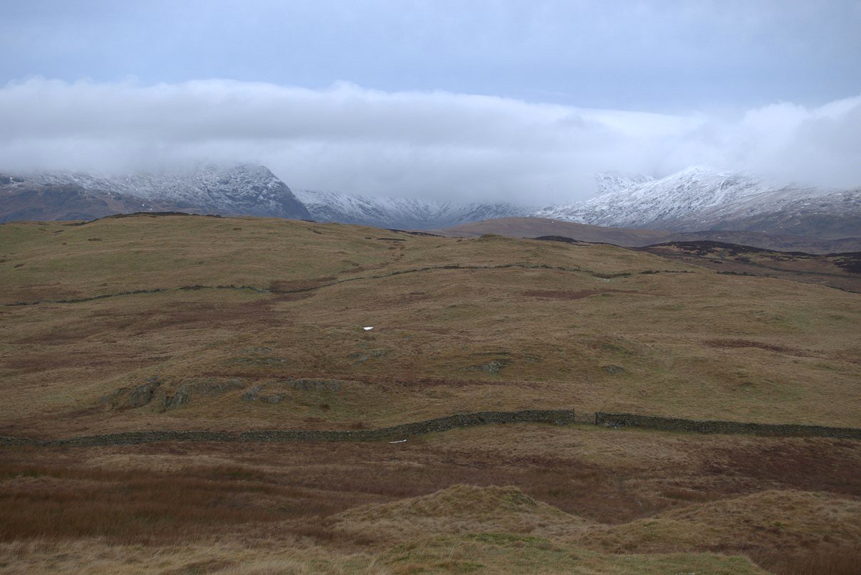
On to the summit now and a good view of the fells around the head of the Kentmere valley.
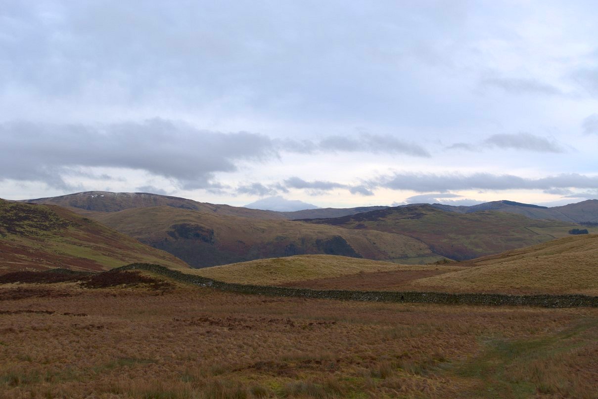
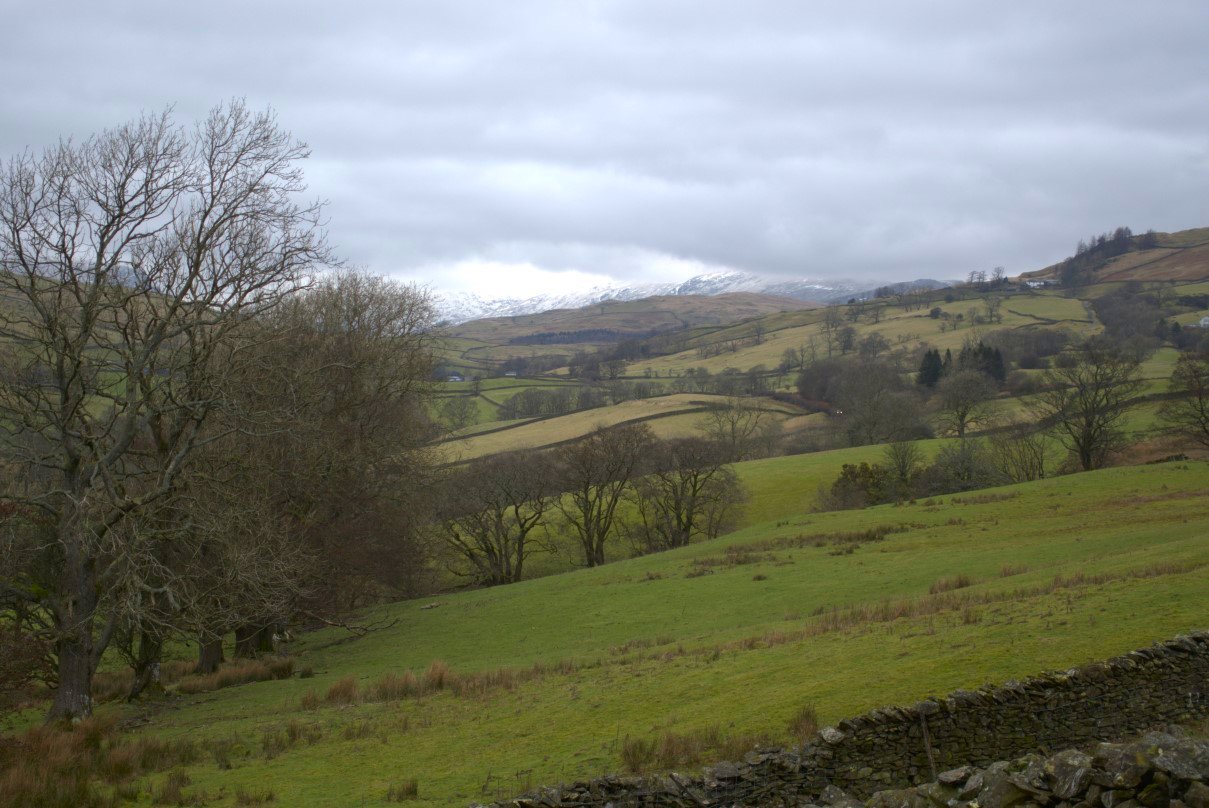
And a bit further to the west are the Bannisdale fells and the fells above Longsleddale. I really like this chunk of high ground between Staveley/Kentmere and Longsleddale as it feels really remote and wild considering you are only a couple of miles from civilisation.
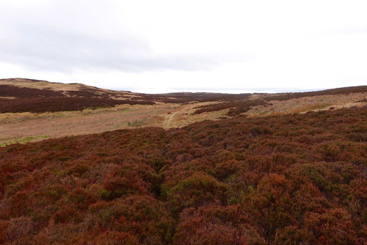
After dropping down from Brunt Fell I pick up the soggy path which winds its way through the low hills towards Gurnal Dubs.
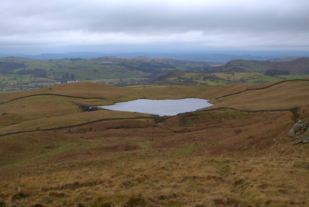
And after a while Gurnal Dubs appears.
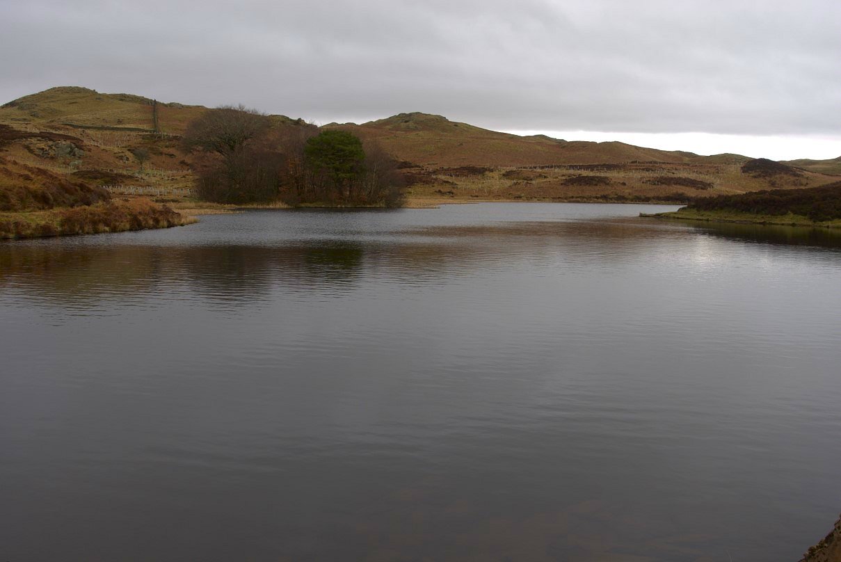
Gurnal Dubs.
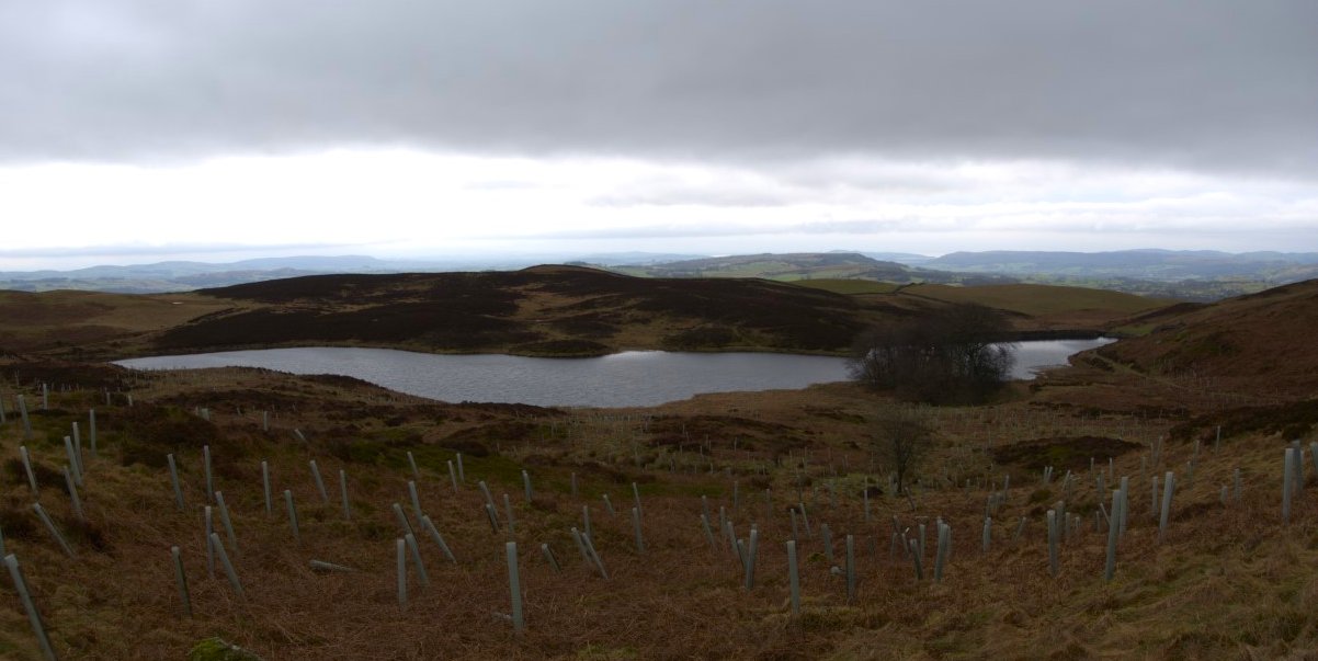
There is a little rise to climb as you leave Gurnal Dubs but at the crest Potter Tarn and the path towards Staveley is seen below.
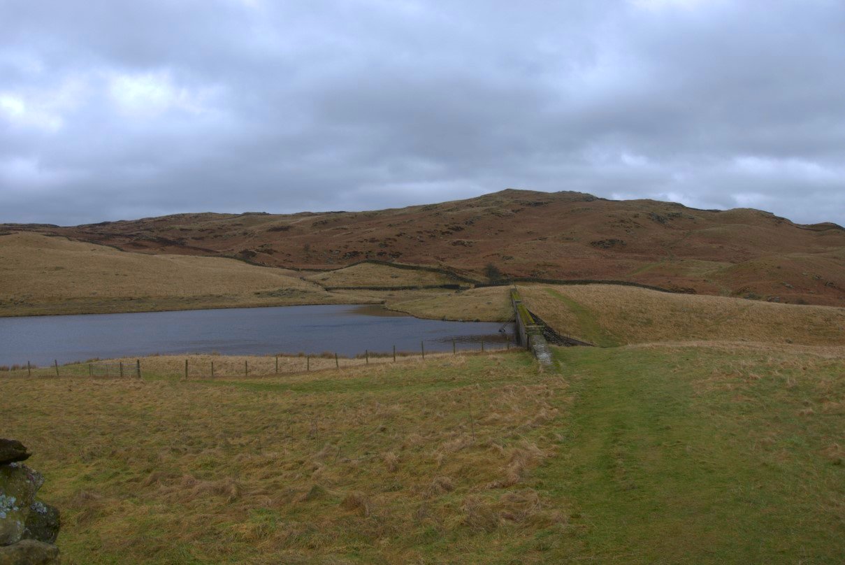
Looking back to the high ground which hides Gurnal Dubs.
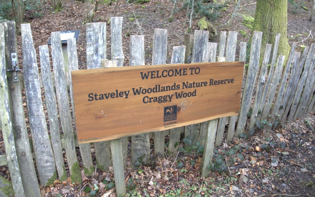
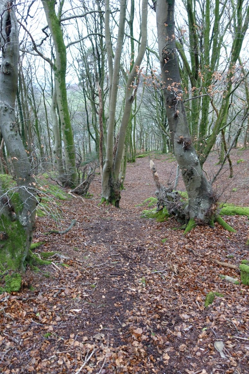
I'd made good time so I diverted off my intended route to have a look at Craggy Wood.
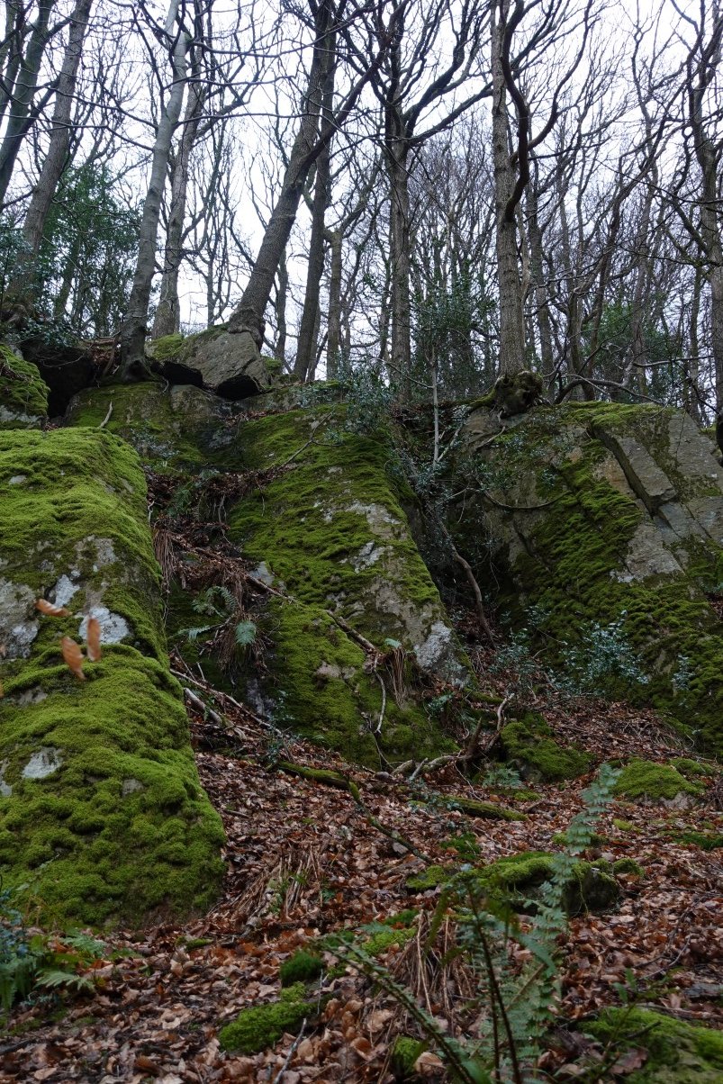
It's a really interesting path through the wood with lots of mossy craggy outcrops ( as you'd expect ) to negotiate, with the help of a rope in one place.
I lost the path occasionally but just headed through the wood in the direction I thought was right and it usually reappeared and I eventually came to the opening in the wall which I'd passed when I last did a variation of this walk..
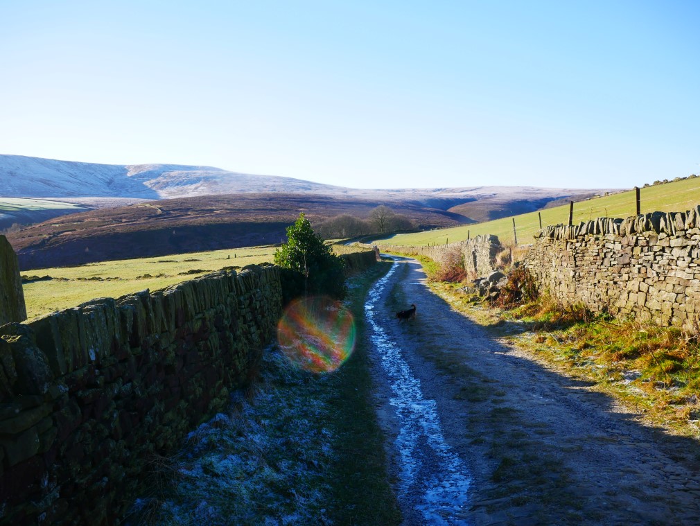
The opening in the wall leads to the path coming down steeply from Littlewood Farm and down to Staveley.
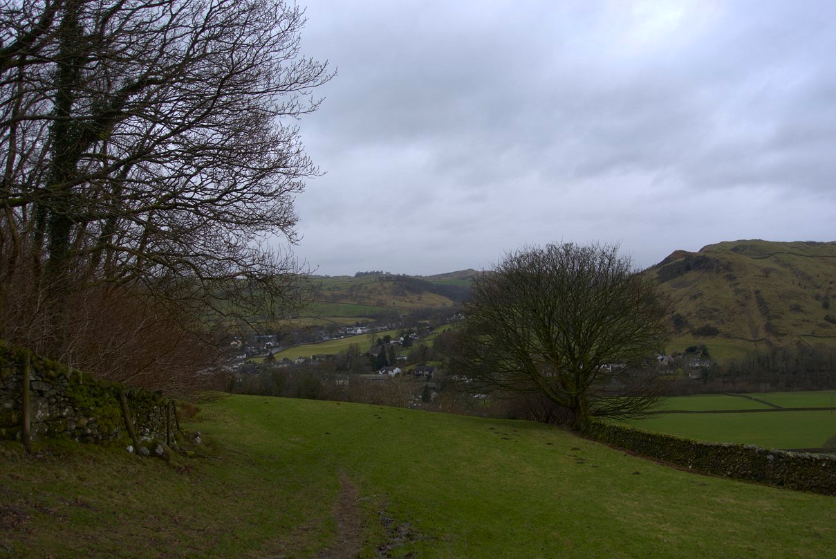
Nearly back to the village now and my timing was pretty much perfect as it started spitting here.
The turn of the year and early January was not a complete write off. I managed to get out for a couple of lovely days before I was Ill.
I accompanied Andy and family on their annual trip up to Grasmere and this year they visited Alcock Tarn on a beautiful day.
Looking back from low down on the climb.

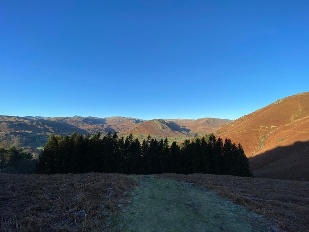
Stone Arthur in the sunshine.
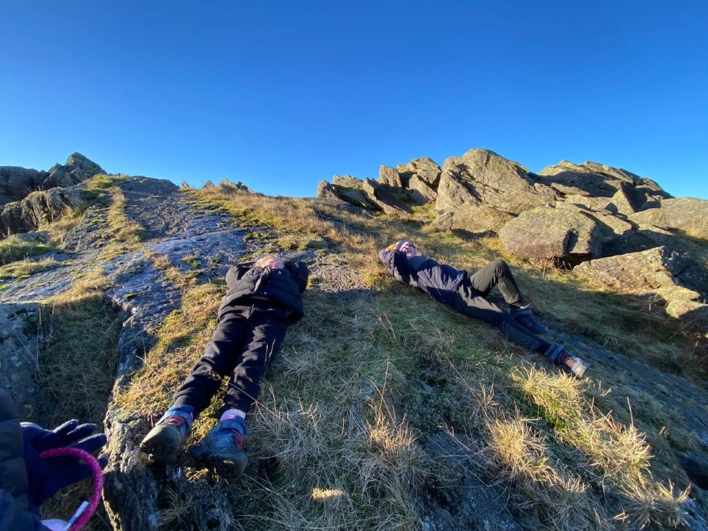
On a beautiful sunny day what do you do? Sunbathe of course.
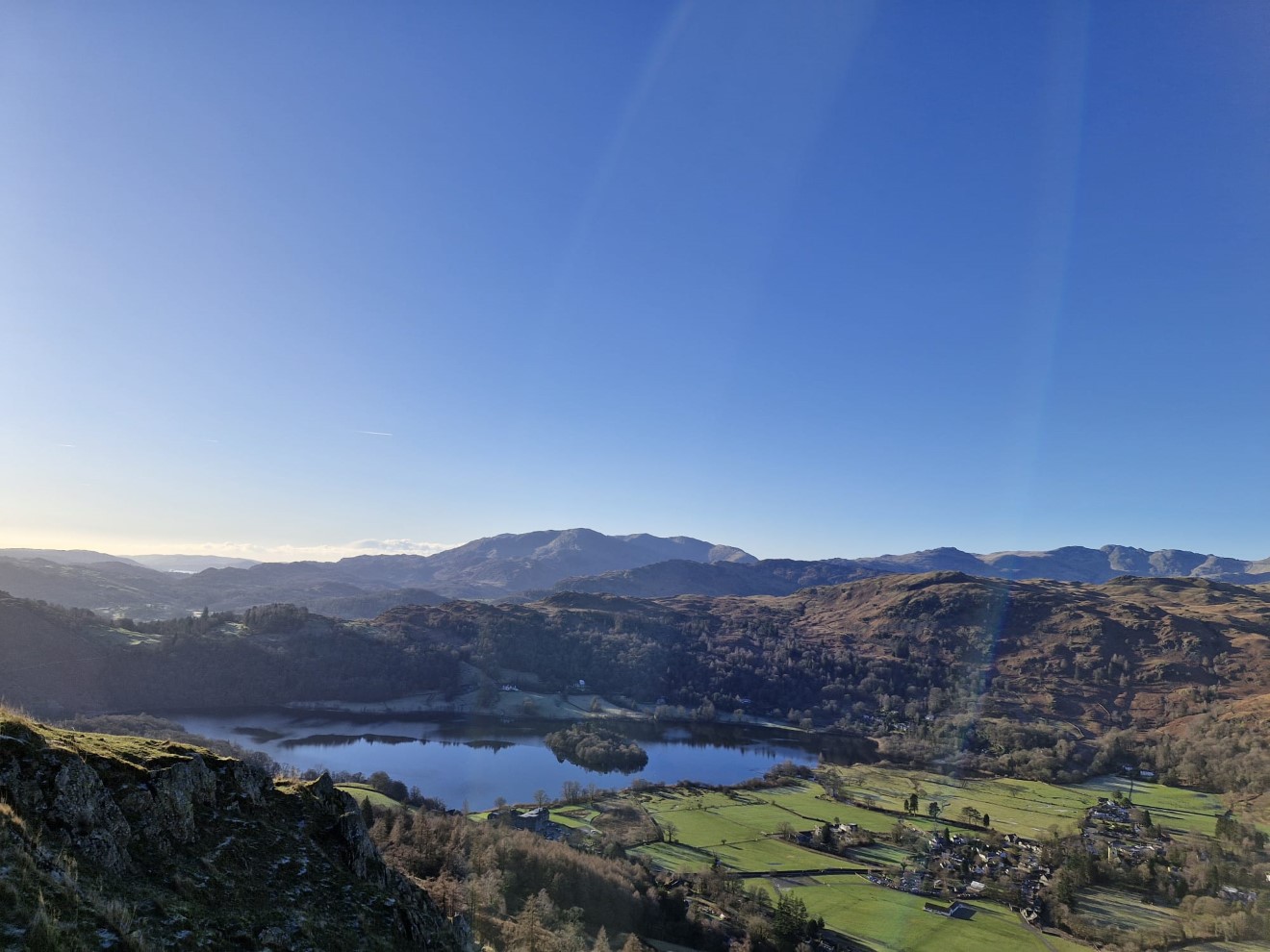
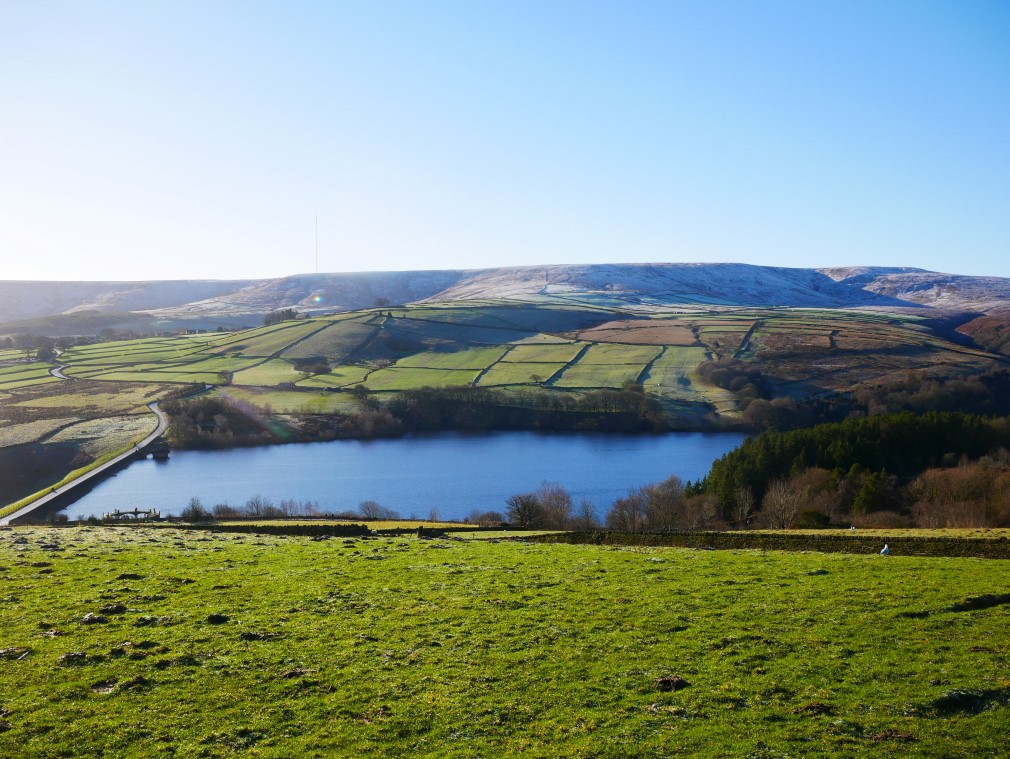
Grasmere and the Coniston Fells from Alcock Tarn.
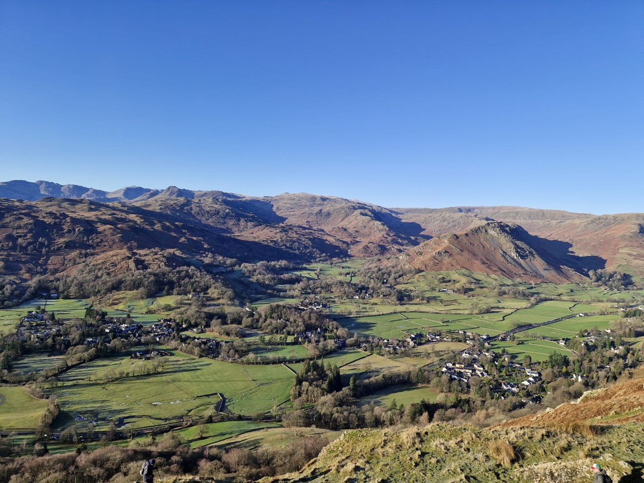
And swinging the camera a bit to the north brings in the northern end of the village and the fells above.
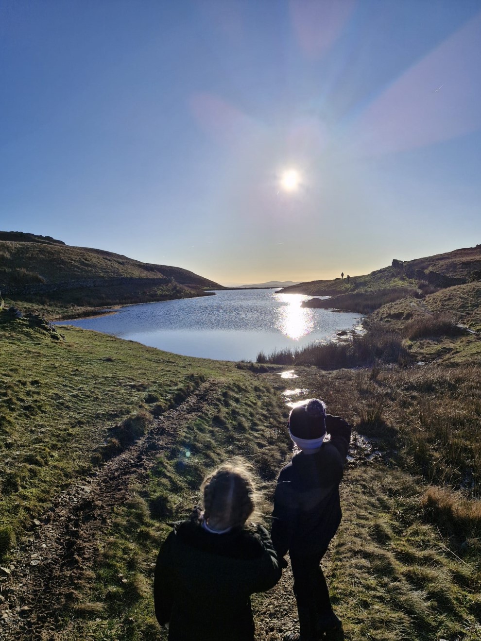
Louis and Poppy check out the tarn
Sue and I along with Sue's dog Poppy had a ride over to Yorkshire for walk with our friend Shane.
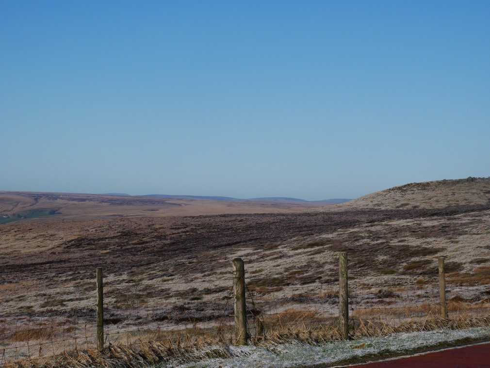
After collecting Shane we had a drive up to Wessenden Head for a view back to our highest local top Winter Hill. It was quite clear but the camera cant pick it out.
Wessenden Head reservoir below. We quickly got back in the car as it was absolutely freezing up here.
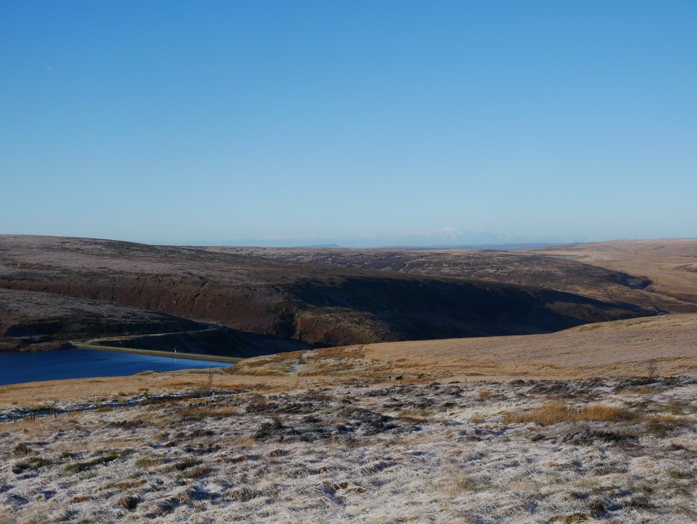
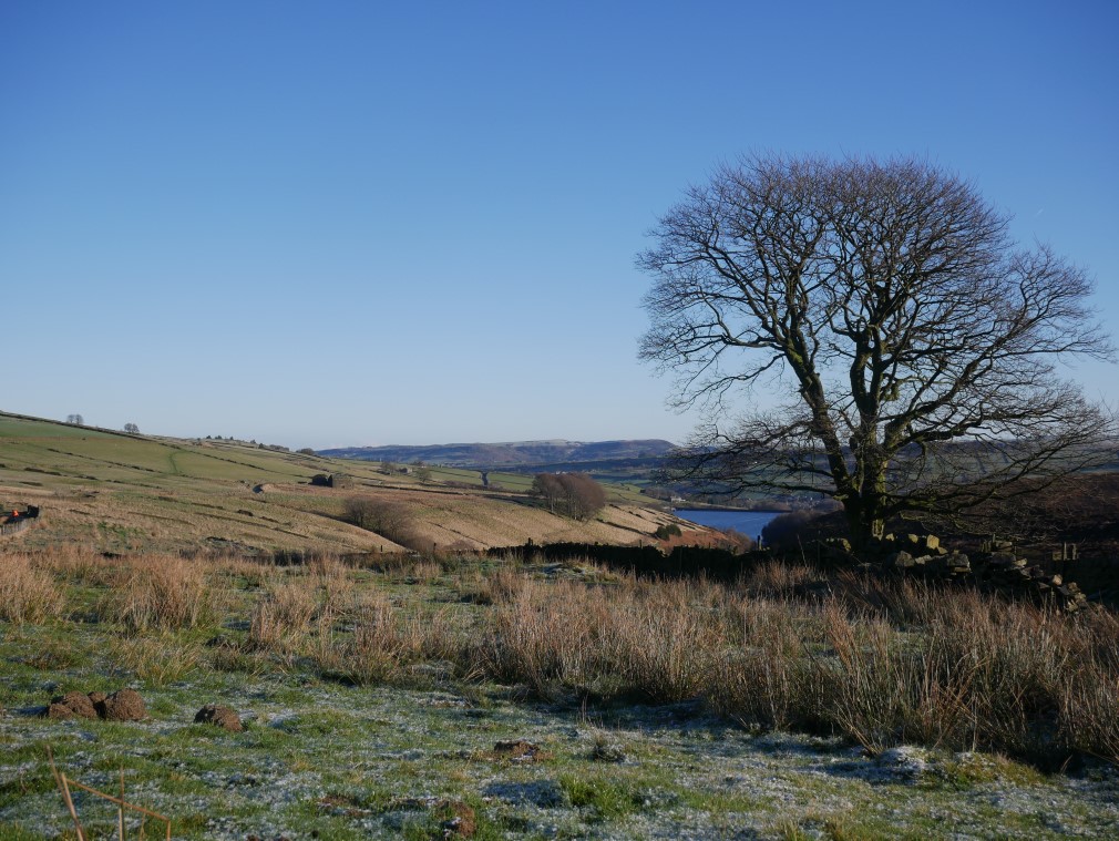
Our walk today was a short route centered on Digley reservoir seen below from our path up the steep hill to the track we needed.
Walking along the icy track.
And looking back.
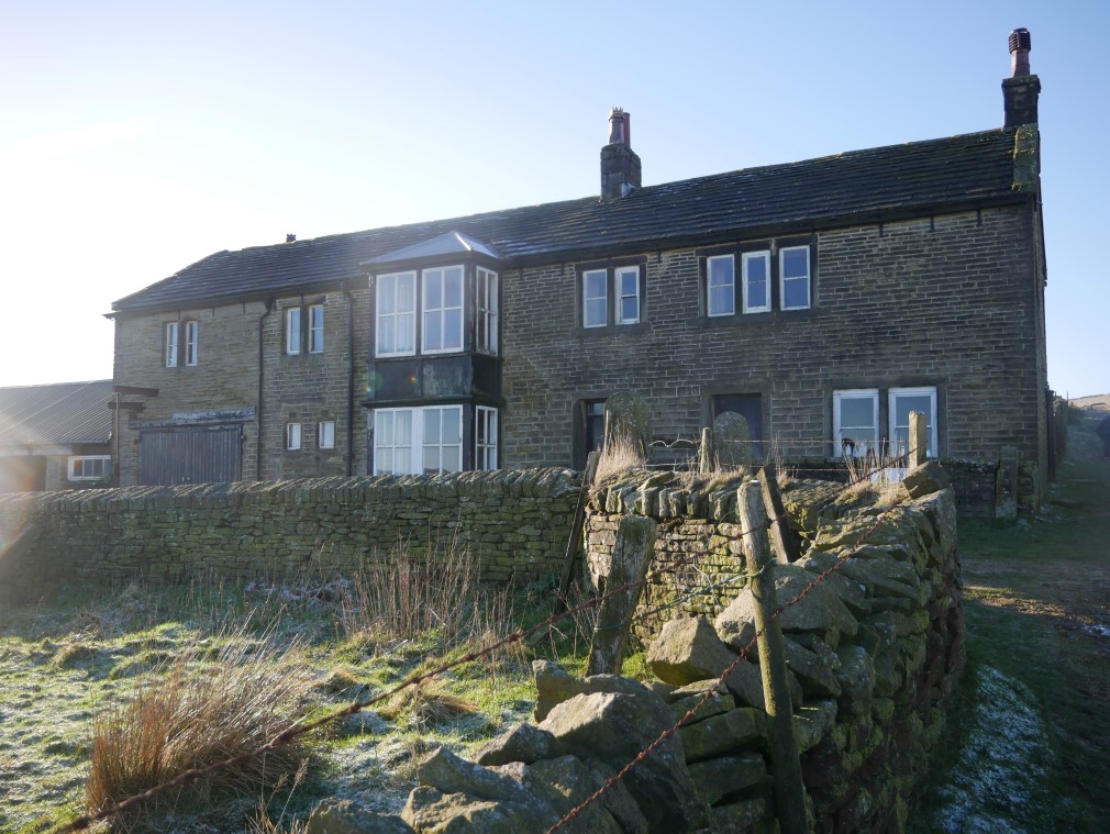
We walked as far as the abandoned Goodbent Lodge.
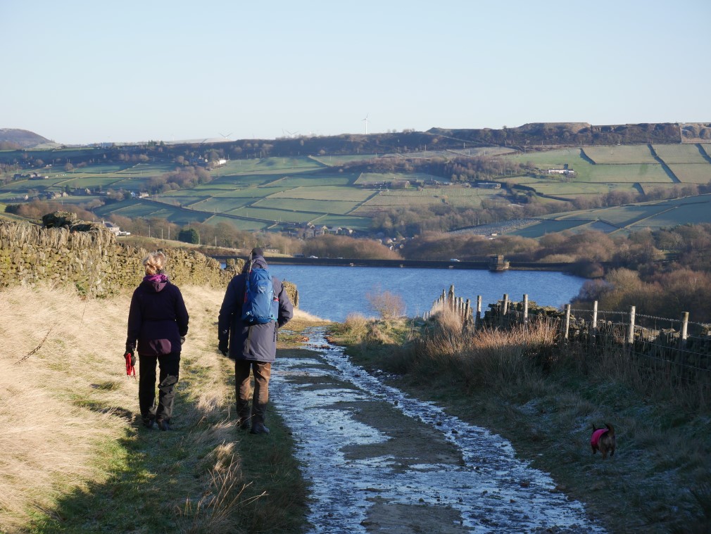
Sue, Shane and Poppy walk down an even icier path.
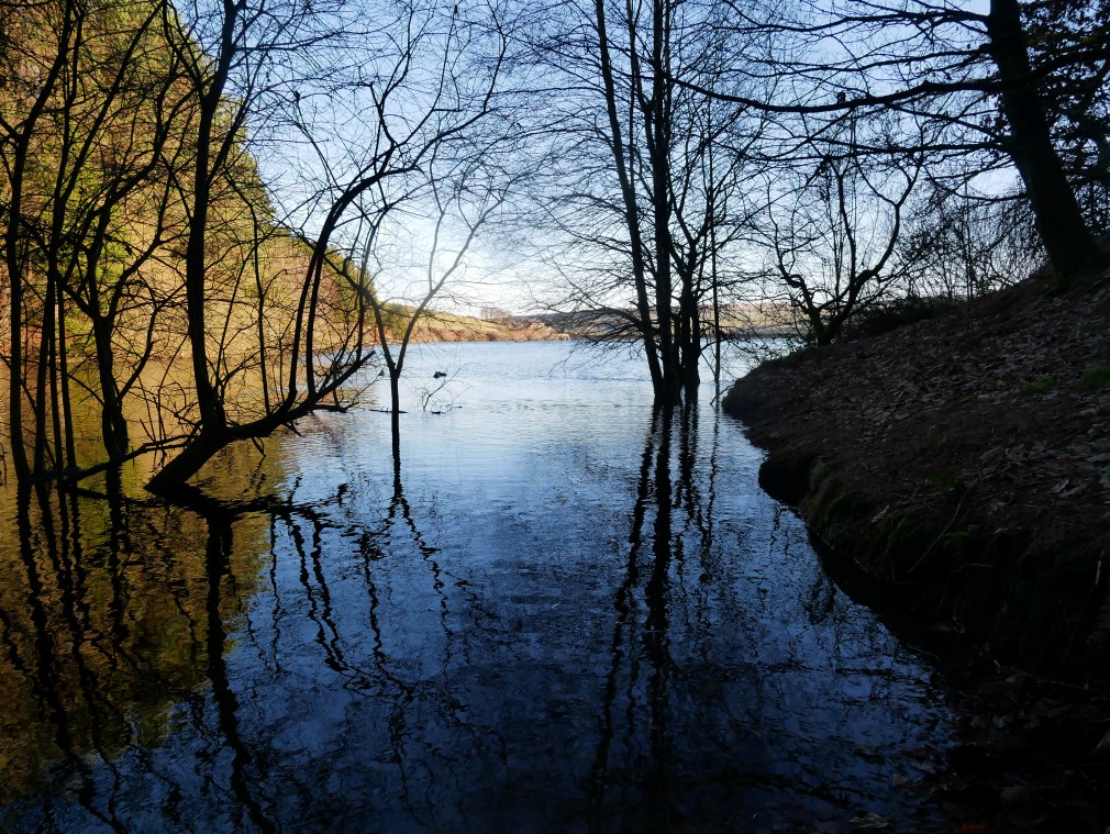
Digley reservoir from a pretty little inlet.
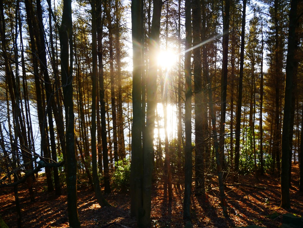
And the low winter sun shines through the trees near the end of our walk.
That evening I packed my camping gear for an early start on the train to the west coast for a night out but when I got out of bed at silly o'clock I immediately fell back in and slept for nearly twelve hours and that was that for a while. I did my walk on the weekend of the 31st and will get the pics up asap.
Previous walk -- Swindale - Next walk - Bootle to Green road via Logan Beck