WWW.KARLSWALKS.CO.UK
PICTURES AND TRIP REPORTS FROM MY WALKS IN THE ENGLISH LAKE DISTRICT
|
E-mail - karl@karlswalks.co.uk |

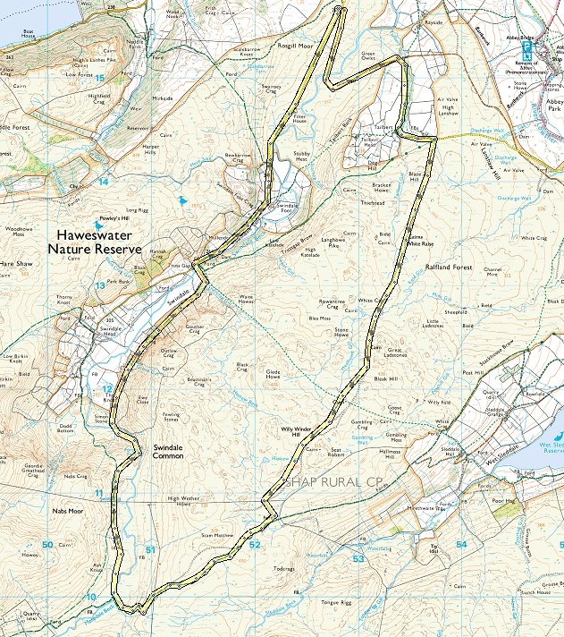
The weather sites were all saying that the far northeast of the Lakes would have the best of a not very good forecast so that's where I headed for. I took my camping gear but realistically I knew that the forecasted winds would make a high camp pretty miserable so I settled on a day walk

Where the Swindale road crosses the water authority road there is a clearing with parking for quite a few cars although there was only me when I arrived just before eight. The weather was dry with hardly any wind which was a good start. This is looking down to Swindale in the half light. .
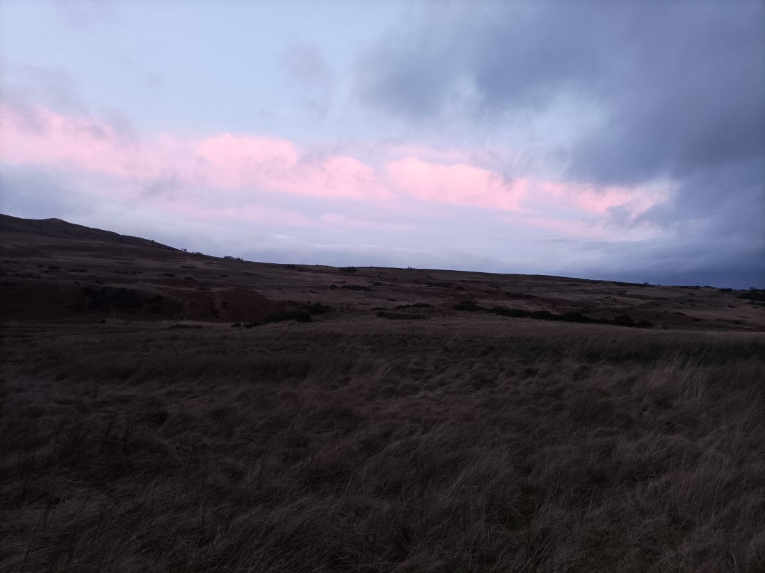
I made my way down the water authority road and pretty soon the sky started to show a little colour.
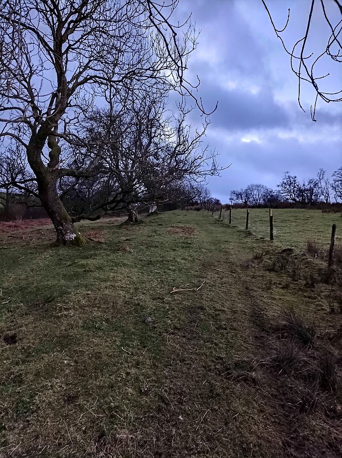
After a mile of walking on the road I took a track on the right which took me along a pleasant path above Tailbert Gill heading towards the farm at Tailbert.
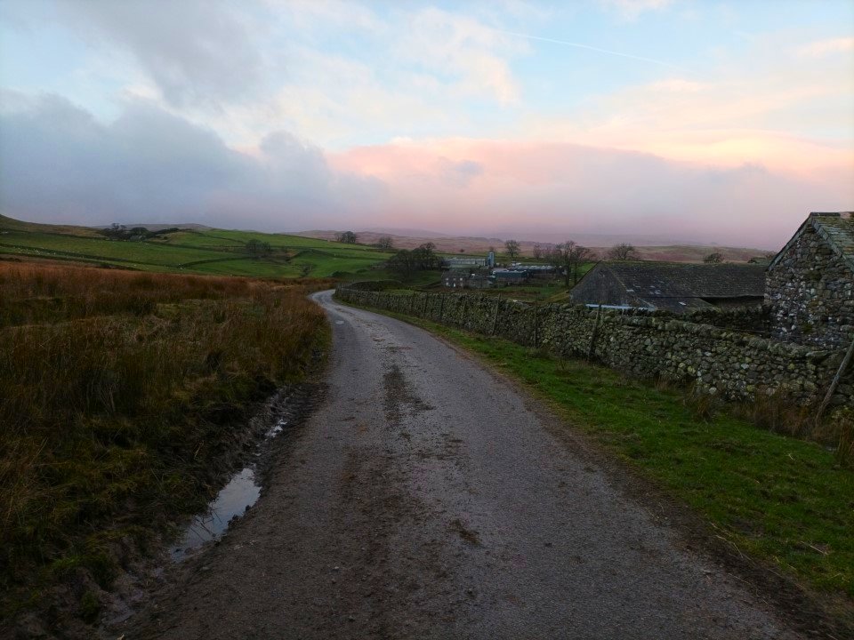
The map shows the track going through the farm but as I approached, the farm dogs all started barking which is one thing that I don't like so I saw a shortcut which took me across a bridge and on to the tarmac road which I followed for a couple of hundred yards. This is looking back down the road towards Tailbert.
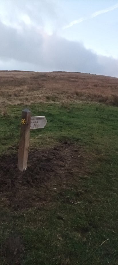
This sign directs you over the hill to Truss Gap but my way can be see as the darker ground heading uphill. Virtually as I turned this corner the wind started blowing in to my face.
.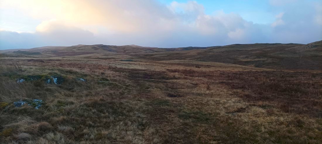
On the path into the "badlands" This is an huge area of soggy moorland with hardly any paths, an area of low rounded hills surrounded by damp tufty grass or full blown bouncy shaking bogs. Just the place to come if you want a bit of solitude and to blow away the Christmas cobwebs.
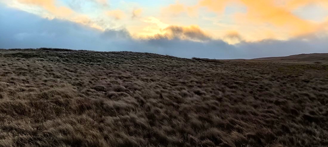
The sun rose as did the wind and with the wind came rain.
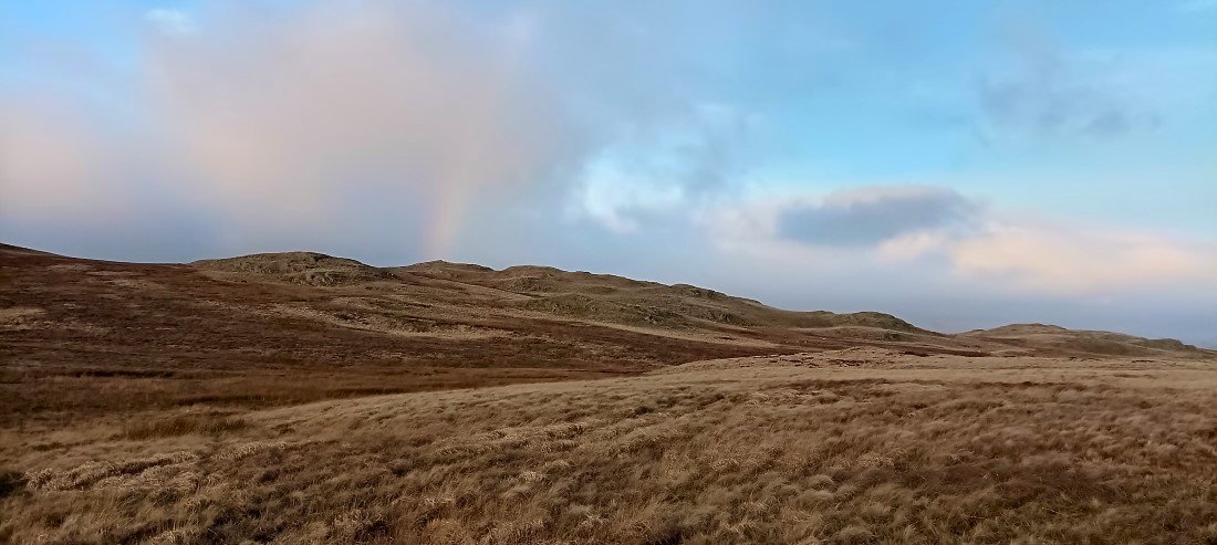
Still plenty of blue sky about and an inevitable rainbow.
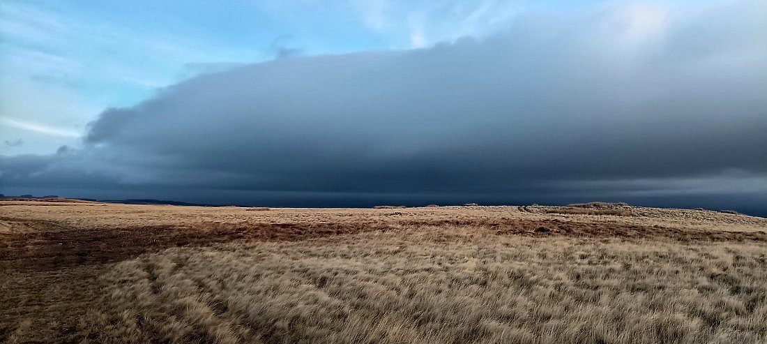
The sky over the Eden Valley looks a lot more threatening.
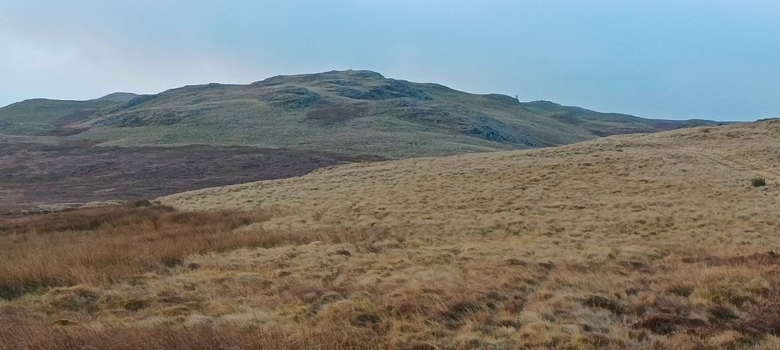
Great Ladstones in the distance. I threaded my around the higher tops as the wind was now quite ferocious and I was burdened down by a heavy winter camping pack.
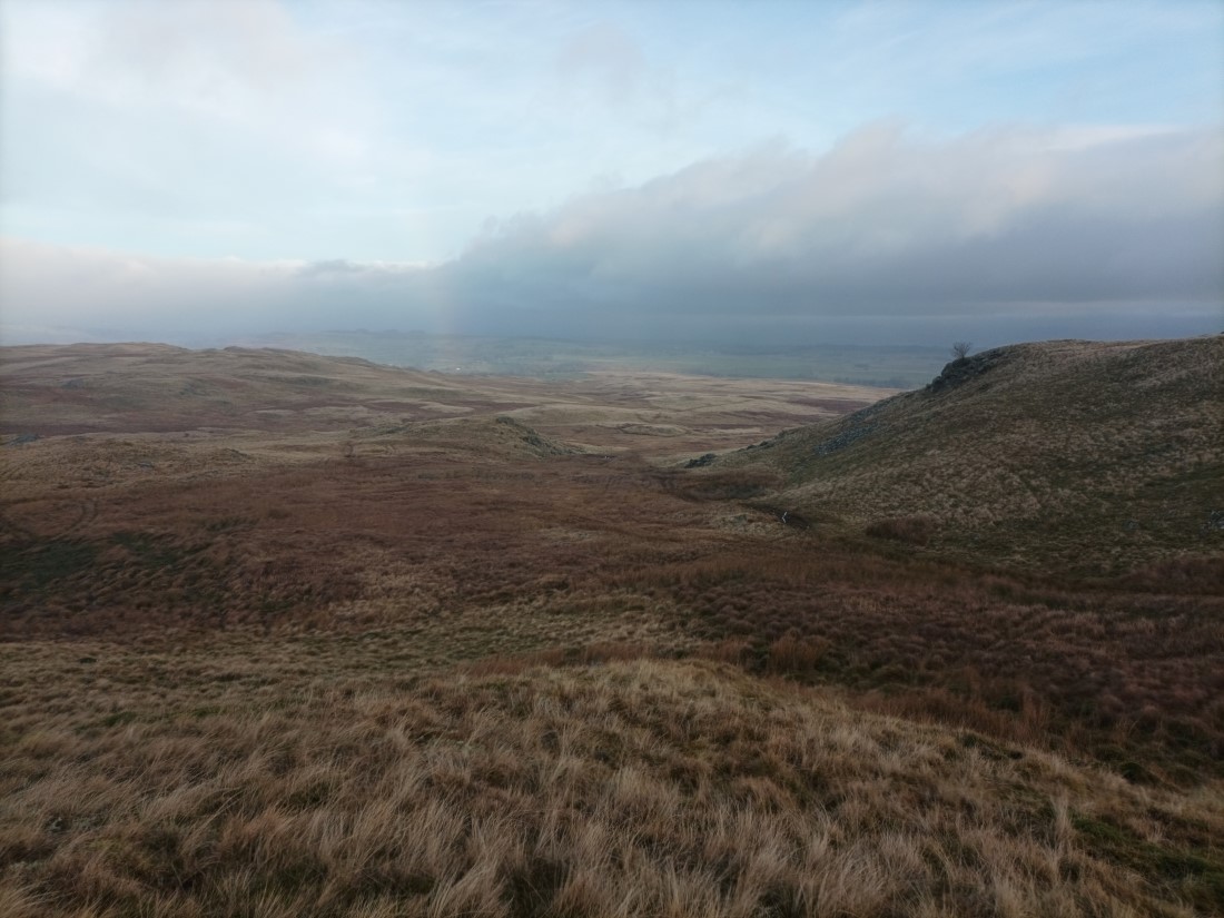
Taking a break in the lee of a handily placed knoll, Great Ladstones to the right. I have just come up this innocuous looking slope below which was really hard work with the boggy ground trying to pull you down and the wind trying to push you over.
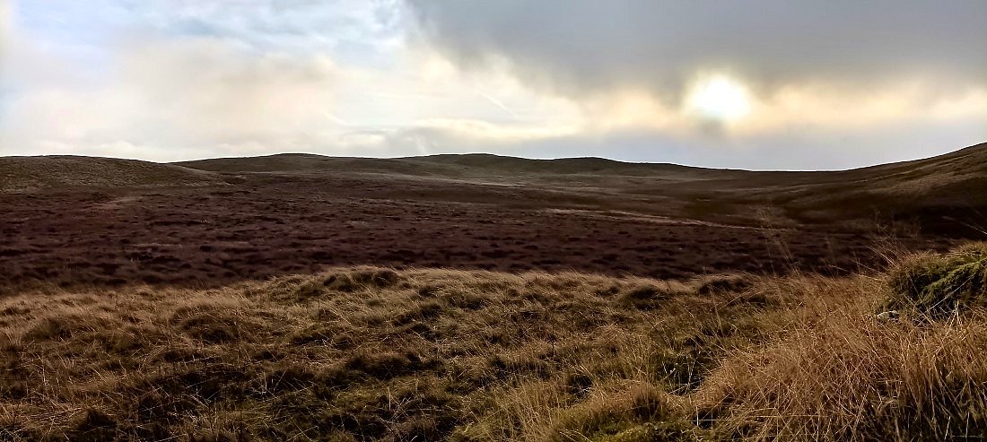
And it's more of the same as I head in the general direction of Seat Robert. At least the sun is still trying to shine and it's comparatively mild.
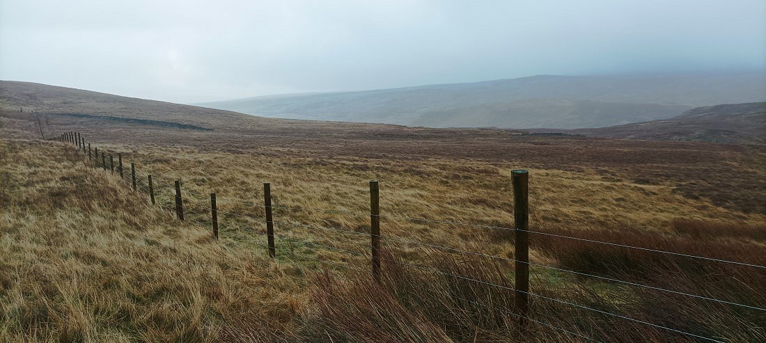
Eventually I reach " civilisation"... well a fence ! This fence ( and gate) mark the spot where the track starts it's descent to Mosedale. The hills in the distance are some of the Shap Fells most likely Wasdale Pike and Great Yarlside
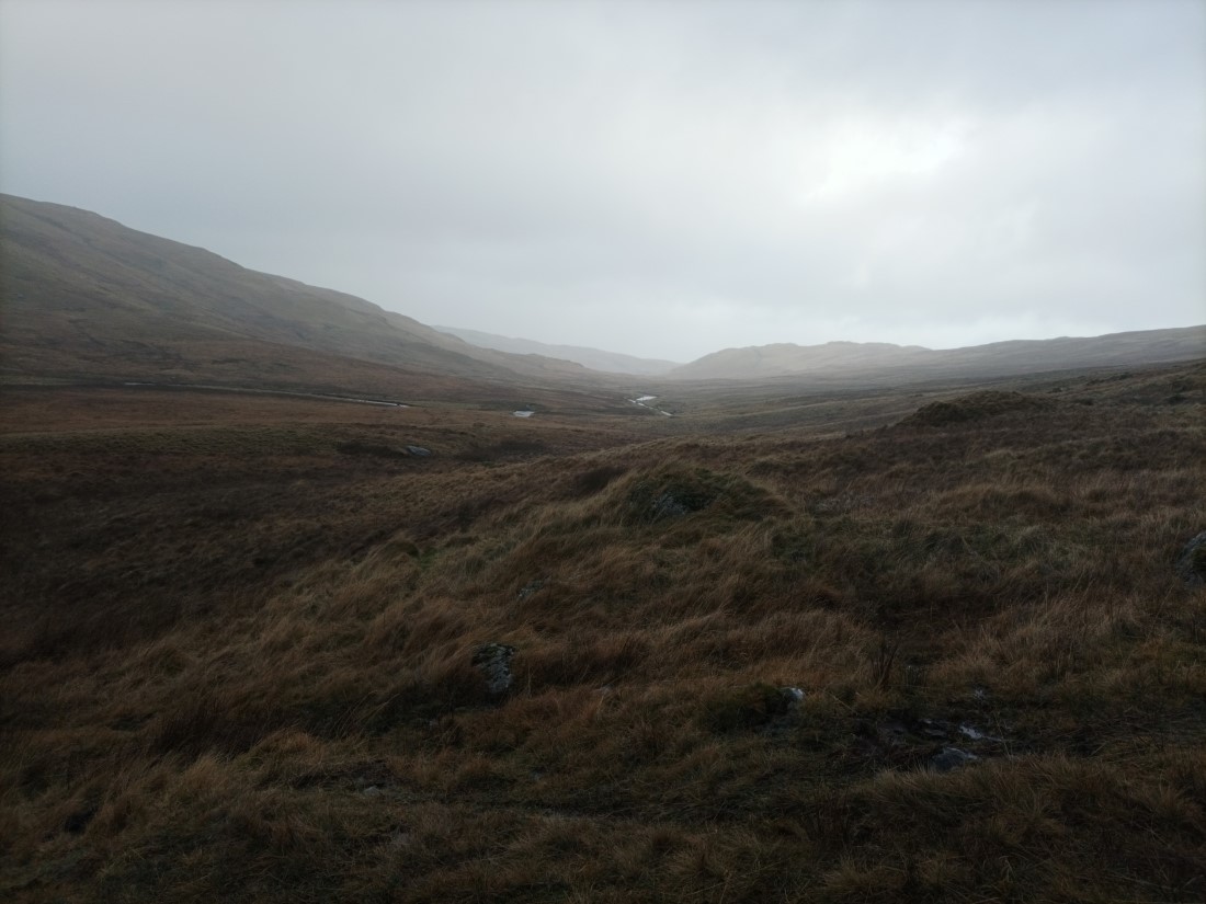
Down into Mosedale and it looks a bit bleak but just after I took this photo the rain stopped and the wind dropped and for a couple of hours it became quite pleasant..
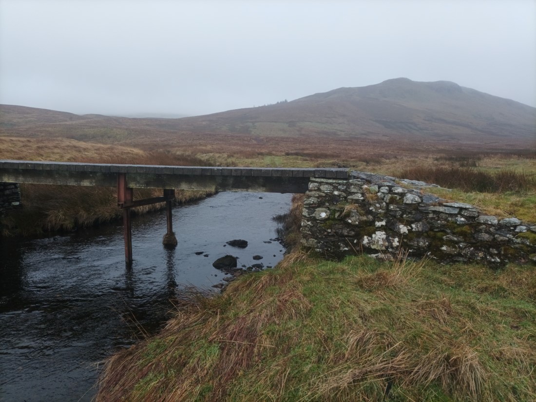
The bridge across Mosedale Beck. Brunt Tongue in the background.
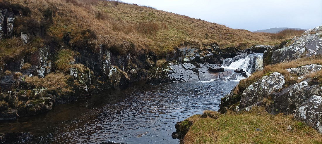
The weather might have improved but the "path" along Mosedale is a very boggy tramp. It's not to far though to the top of Forces falls. This is the top pool..
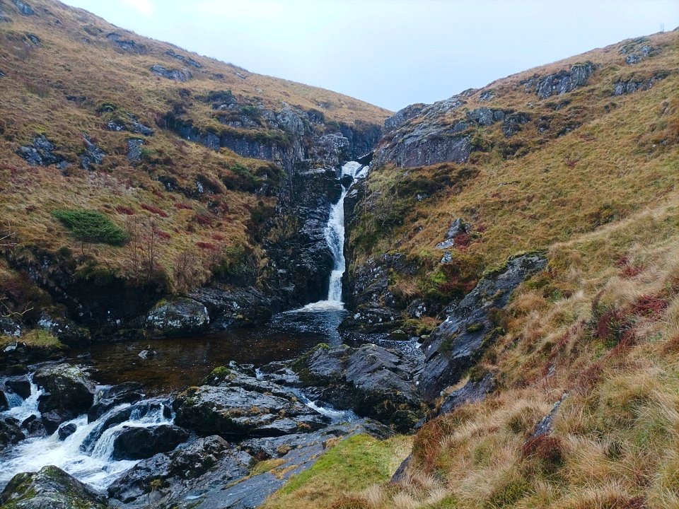
I follow the narrow trod down by the falls which I think is one of my most favourite places in the Lakes.
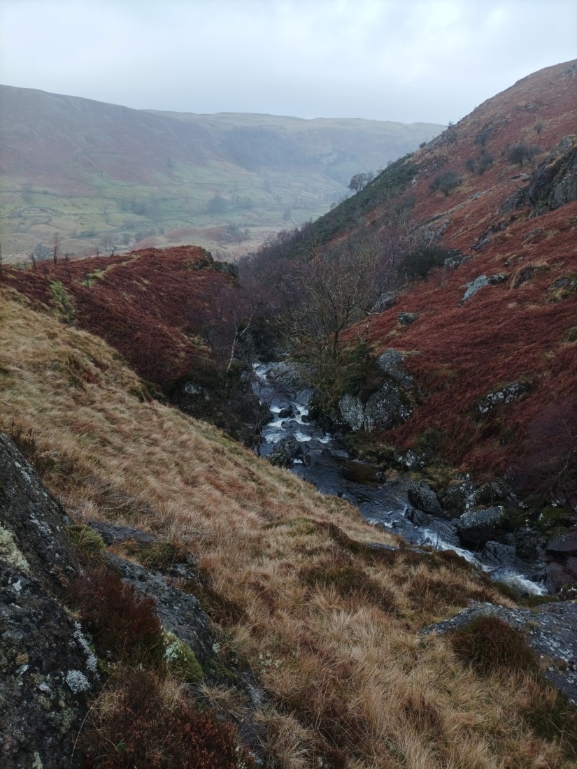
But you do have to take care especially today when the grass is slippery.
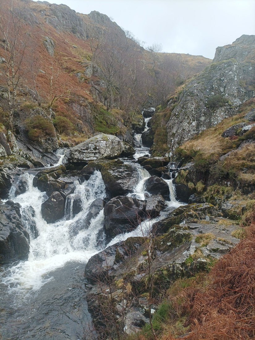
Another cascade further down.
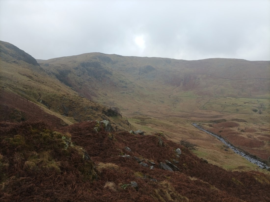
The head of Swindale.
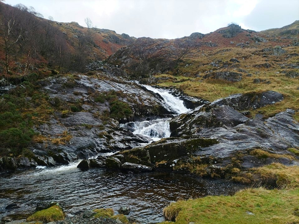
The lowest of the pools next to which is a really nice grassy area which is an ideal ( and idyllic ) picnic spot..
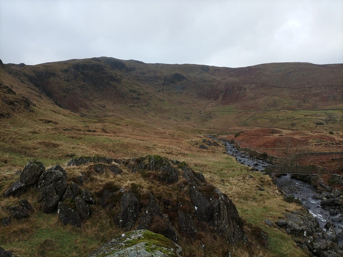
Looking down to the footbridge across the beck which I use to access the path along the eastern side of the valley.
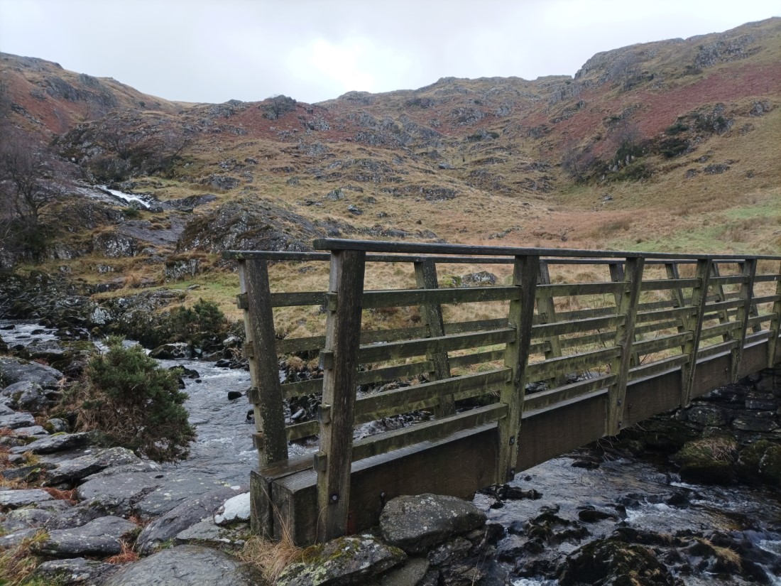
Looking up to the falls from the bridge.
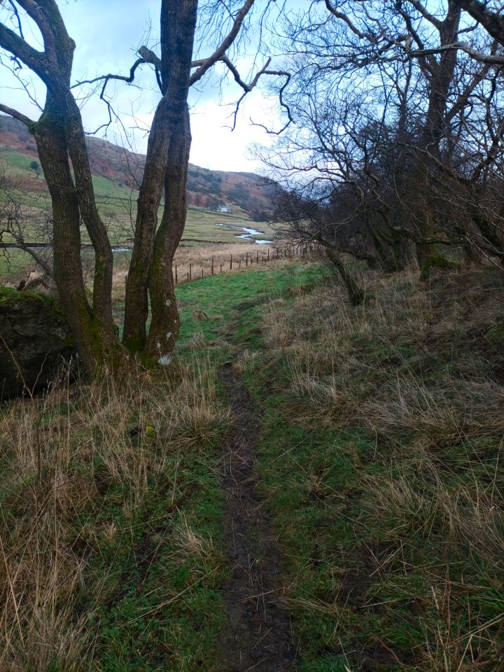
Although this path is longer than the road on the western side due to it meandering up and down the lower slopes of the valley sides it's very nice and softer underfoot.
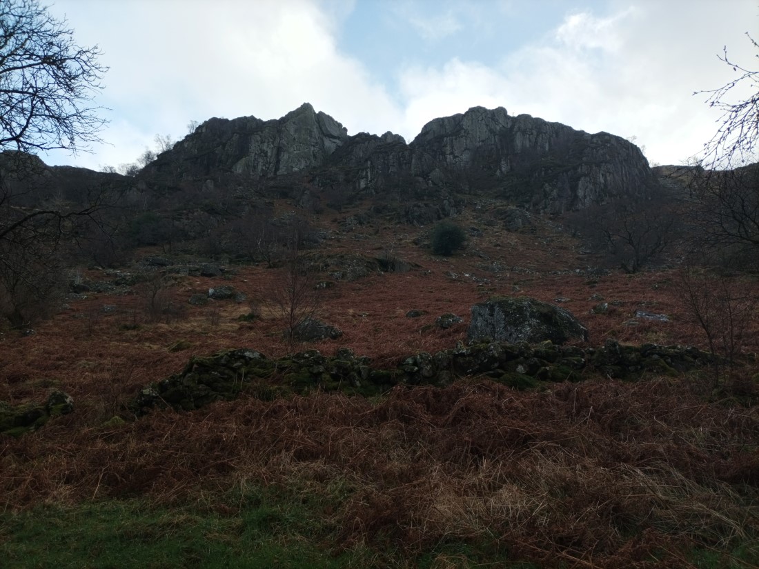
Passing below the impressive Gouther Crag.
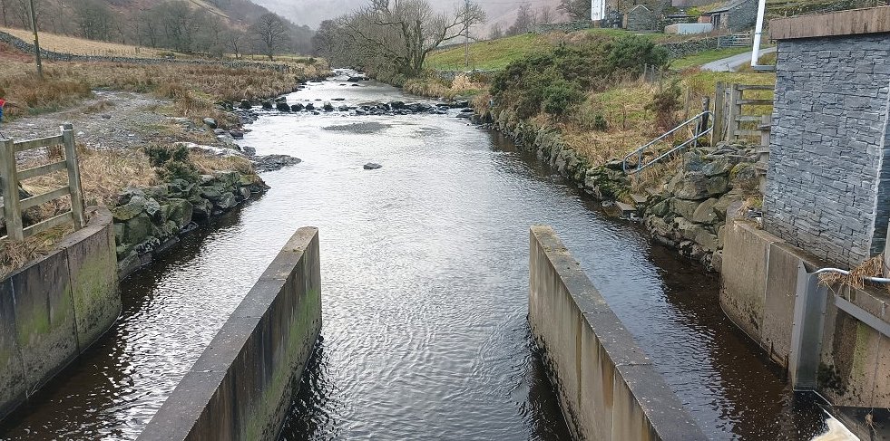
The view back along Swindale Beck from the new bridge and water works at Truss gap..
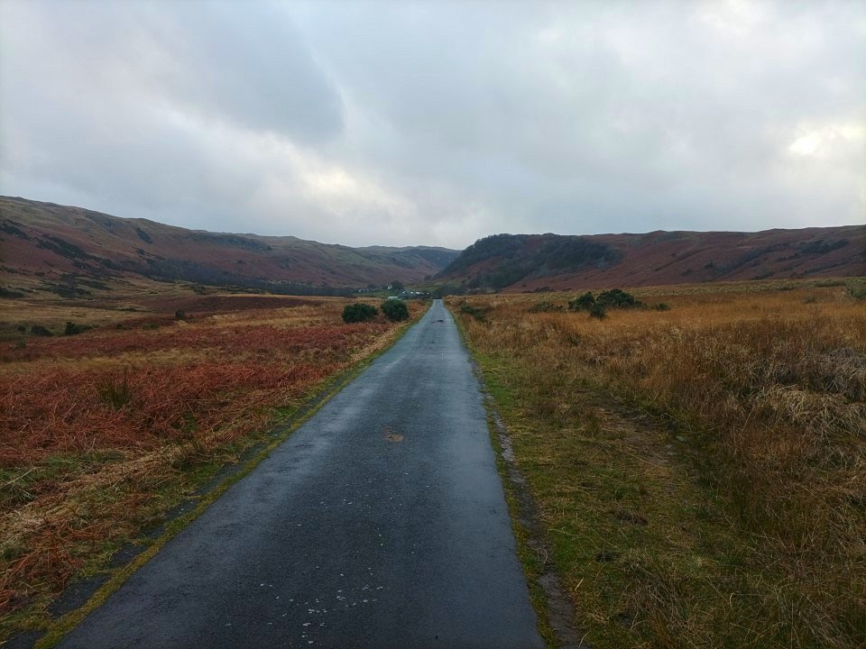
Swindale again. I had a bit of an uphill road walk back but timed it just right as the rain started just as I reached my car.
Previous walk -- Langden and a night on Fairsnape Fell - Next walk - A round from Staveley