WWW.KARLSWALKS.CO.UK
PICTURES AND TRIP REPORTS FROM MY WALKS IN THE ENGLISH LAKE DISTRICT
|
E-mail - karl@karlswalks.co.uk |
Back to Borrowdale and a walk to a camp site that I've wanted to visit for a year or two.
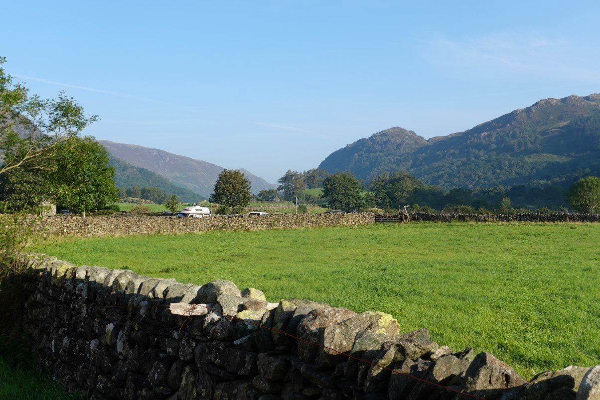
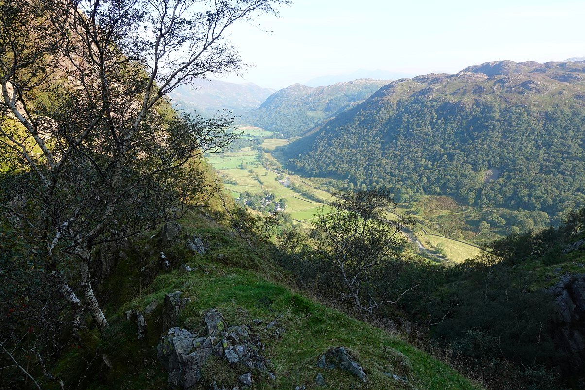
What we would have given to have sunshine and blue skies like these when we visited Borrowdale a couple of weeks ago. I parked near the school and headed off down the lane. King's How is the hill I'm looking back to.
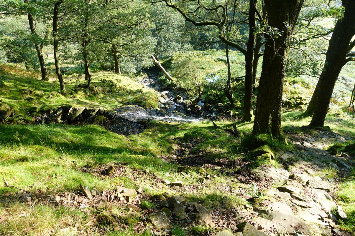
Turn right directly opposite the entrance to the ( now closed ) campsite and head up steeply through the trees.
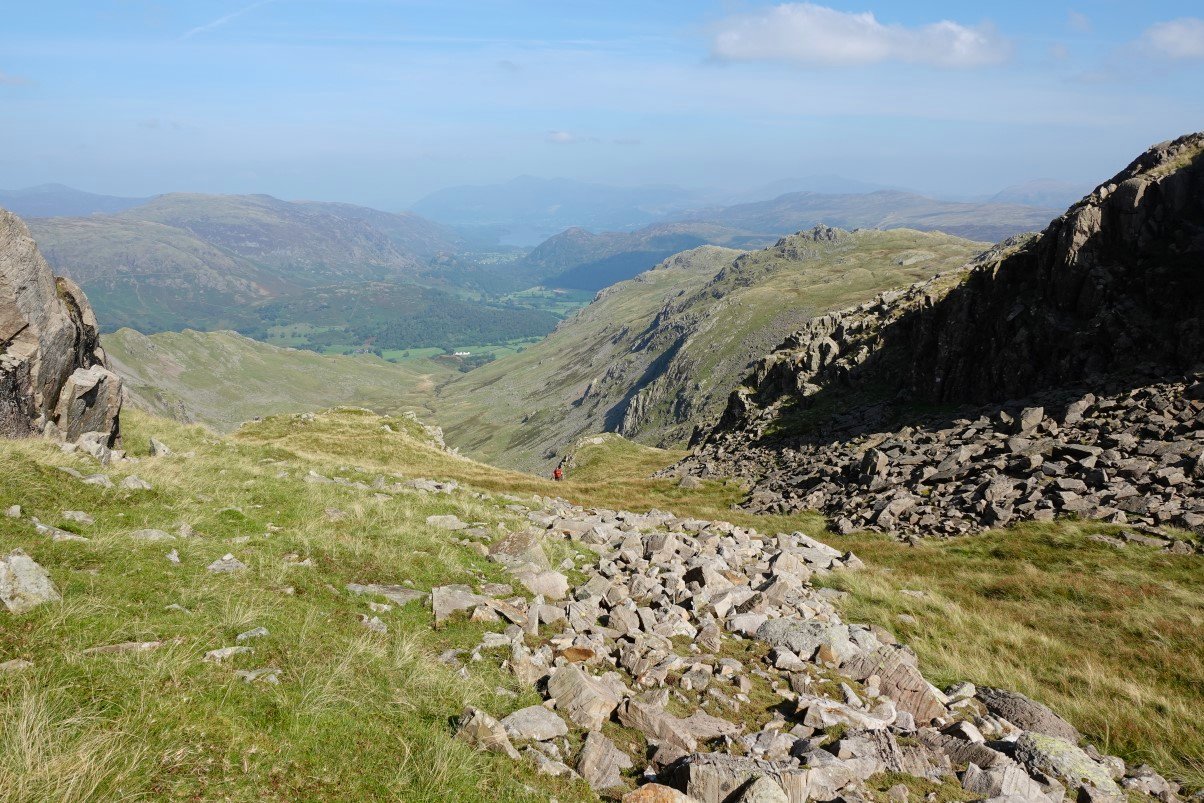
It's a steep pull on a in places pitched path but once you clear the trees you have a great view back into Borrowdale.
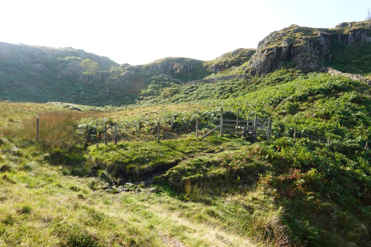
Once you reach this gate the really hard work is over.
.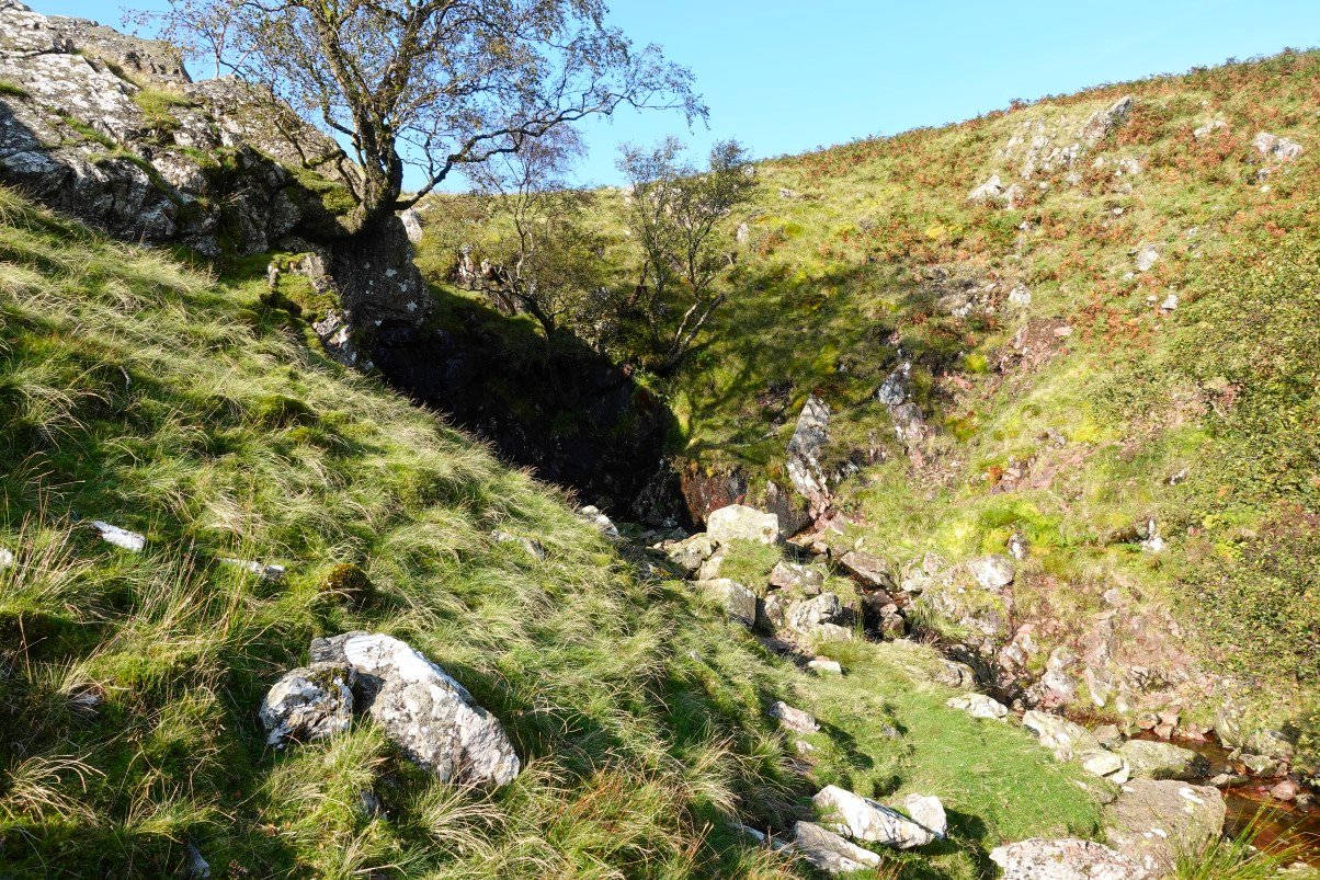
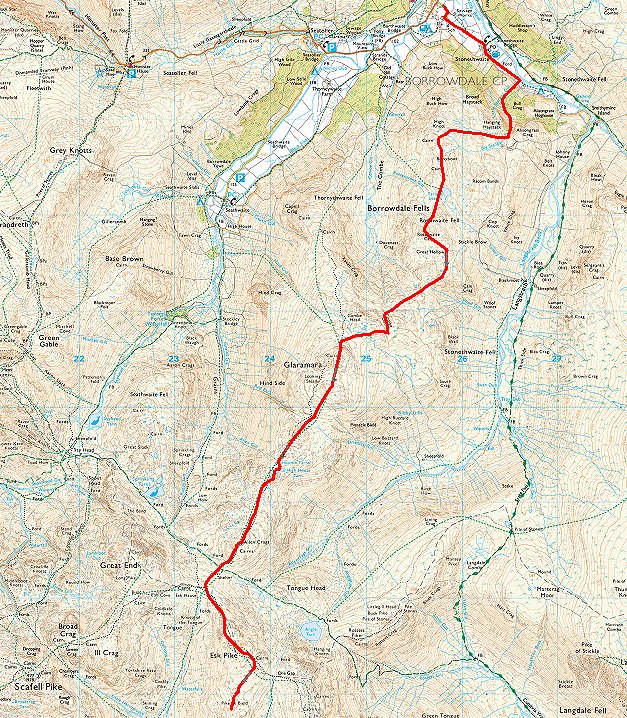
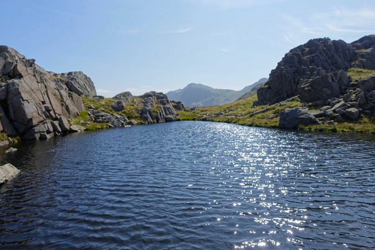
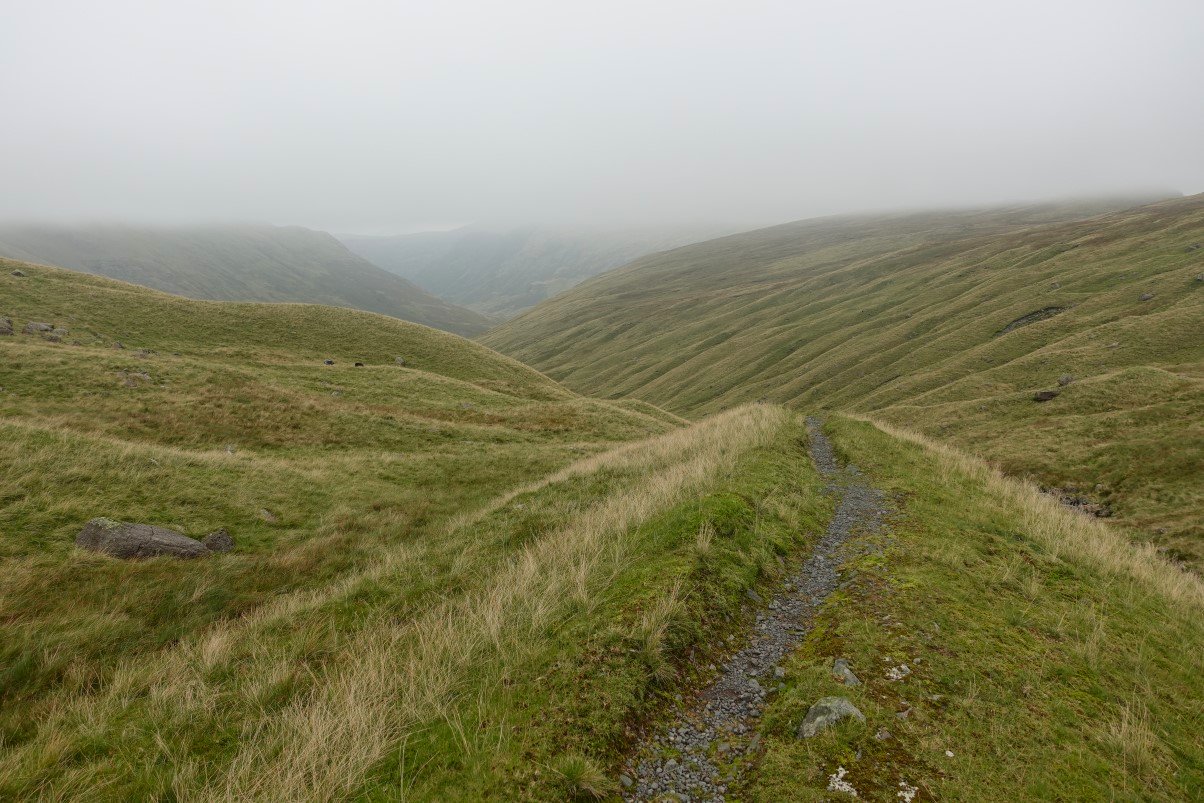
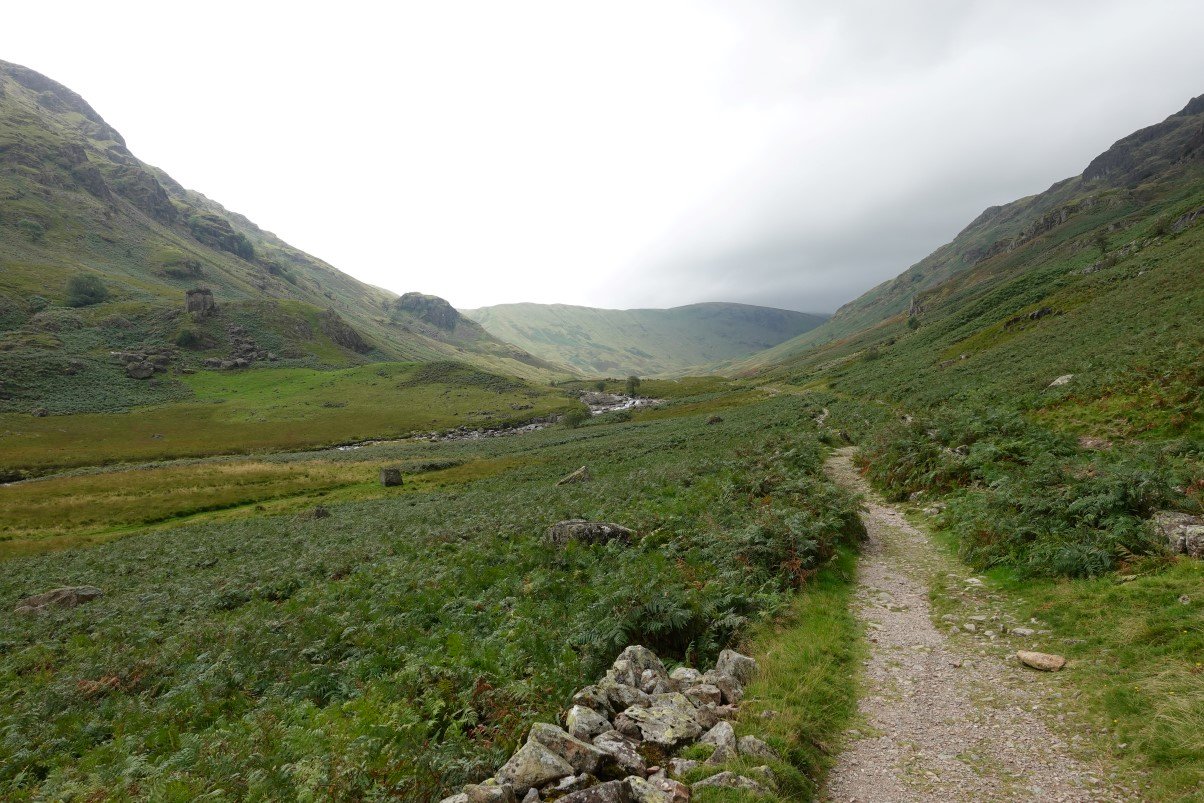
The path follows the stream and after crossing it you climb the bank opposite The whole walk from the track through Borrowdale to Esk Hause is a joy but from this point you enter the superb country of rugged tops and rocky outcrops, grassy hollows, small ( and some not so small ) tarns which on a day when the clag is down can be very confusing but on a day like today is nothing short of wonderful.
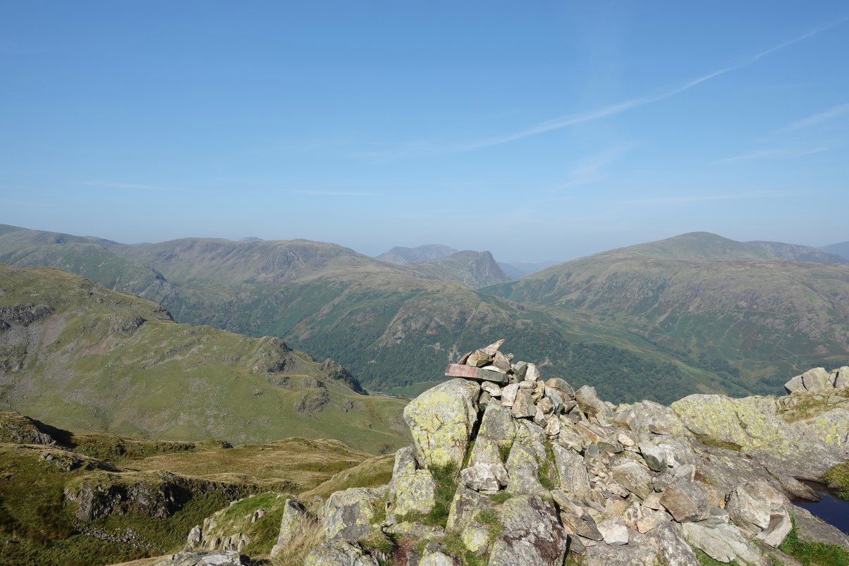
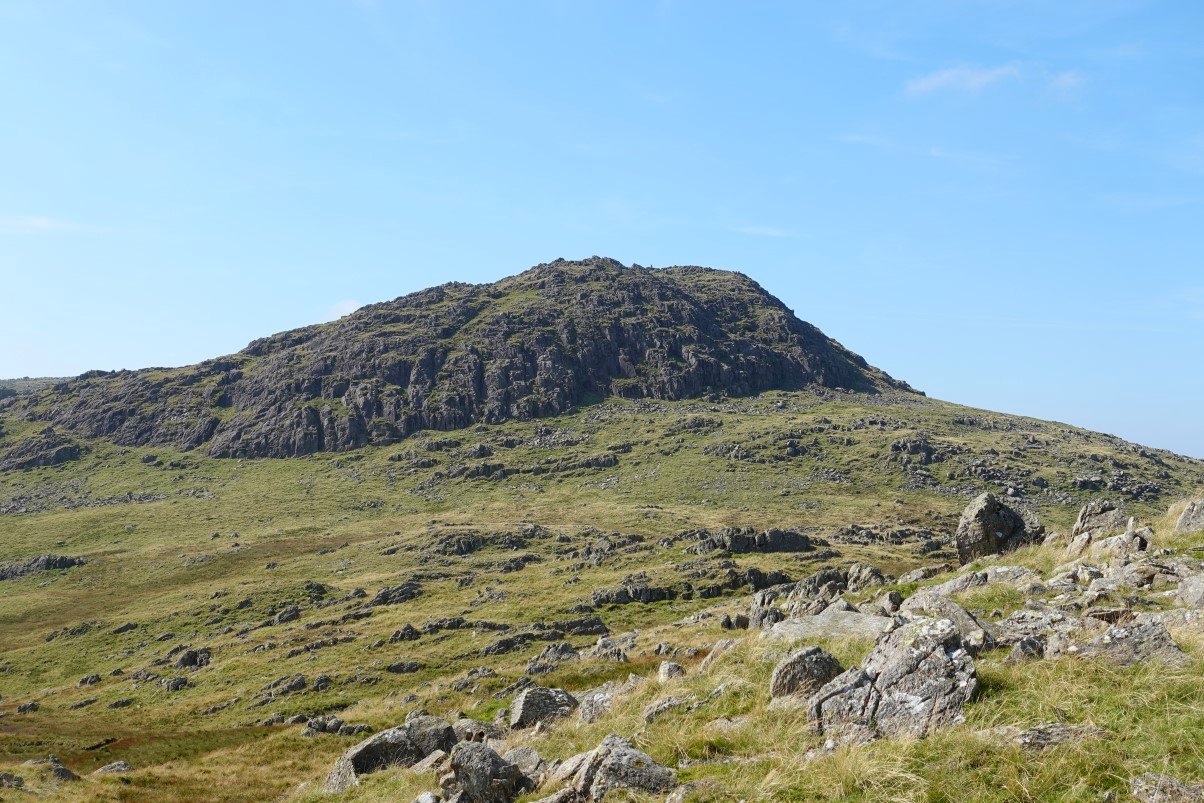
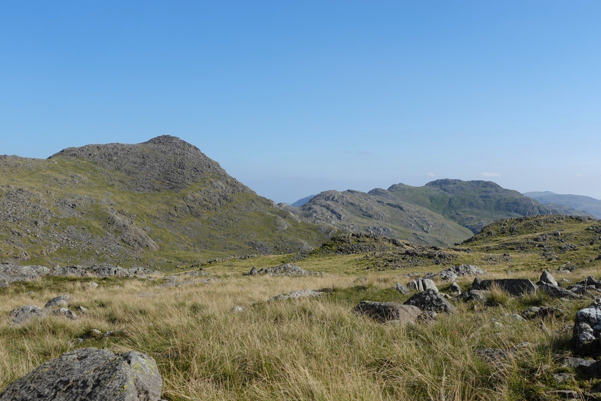
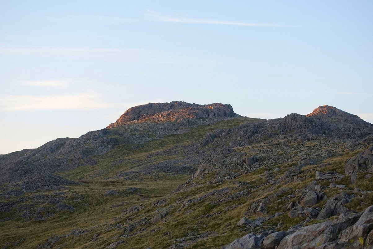
On to Bessyboot now and looking over to the distinctive Honister Crag with Dale Head to the right and the High Stile group in the background.
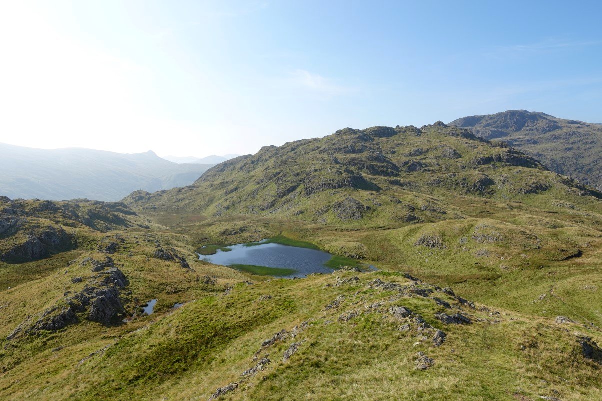
And looking down to Tarn at Leaves and my route ahead. There are a few ways to cross between here and Combe Head ( the cliff face top right ) and today I decided to head for the little knobble of Rosthwaite Cam which is the highest point visible on the right.
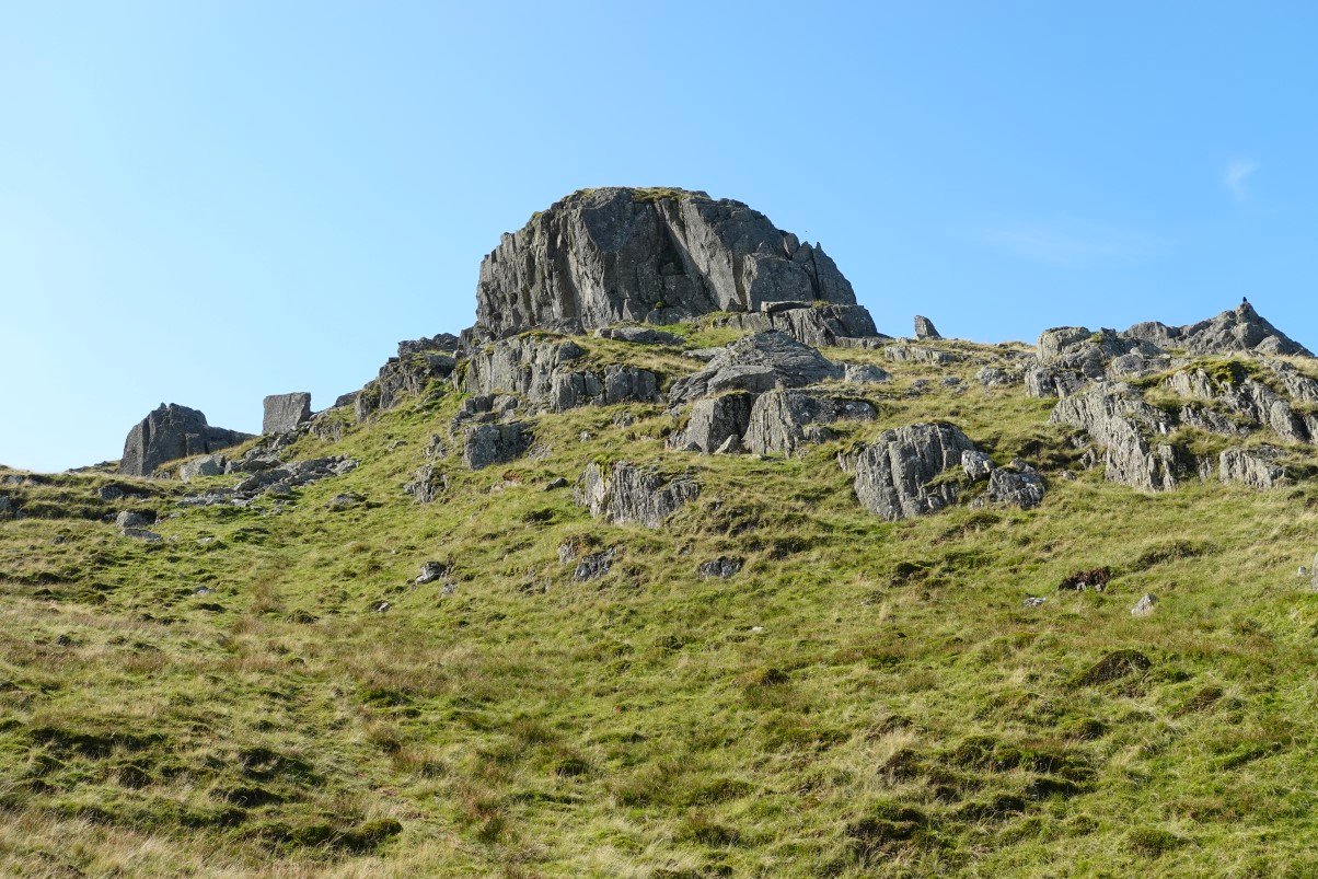
Approaching Rosthwaite Cam.
It's an easy climb on to the cam and here I'm looking back the way I've come.
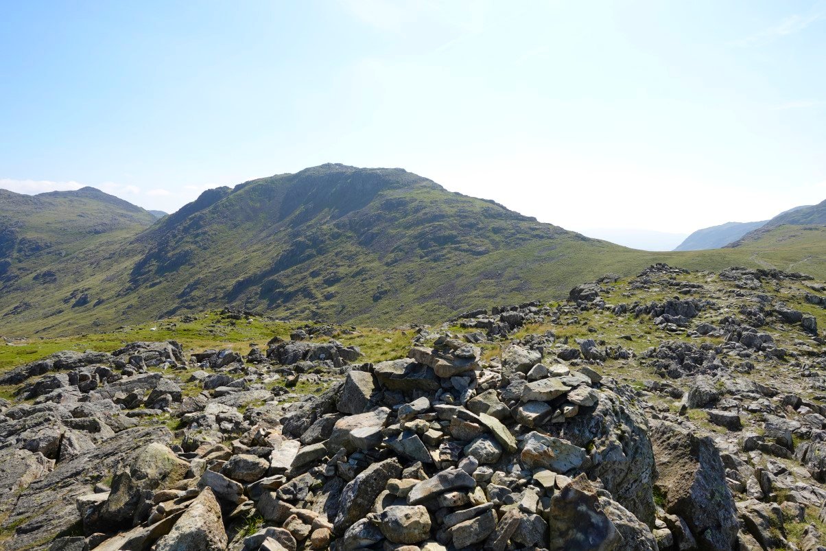
Combe Head from the cam.The crag on the right is Raven Crag..
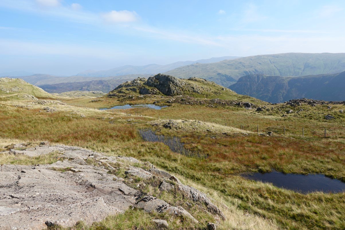
From the cam I made my way around the Great Hollow. The Helvellyn Dodds can just be made out through the haze.
Hazy view to Martcrag Moor, Langdale Combe and Pike O' Stickle..
Lovely ( if a bit hazy ) view to the north from the top of Combe Door. Borrowdale then Derwentwater with Skiddaw above
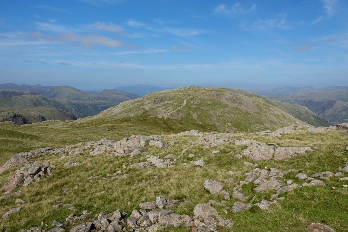
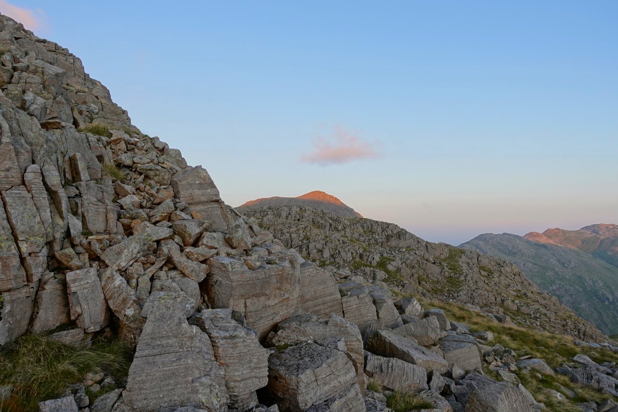
Up to now Glaramara has been mostly hidden but once you're on to the col behind Combe Head it reveals itself.
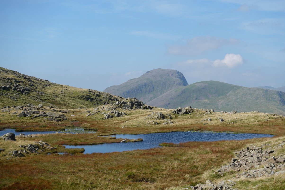
Great and Green Gable from the col.
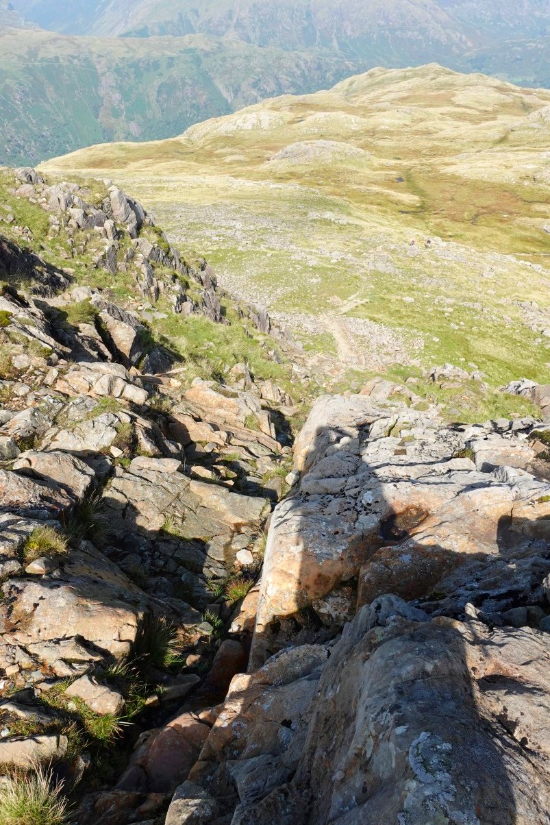
Looking back down the exciting thirty foot scramble below the summit of Glaramara.
Glaramara with the Langdale Pikes beyond.
From Glaramara its another roller coaster of a walk I'm heading fro Esk Pike which is the high ground in the distance directly ahead.
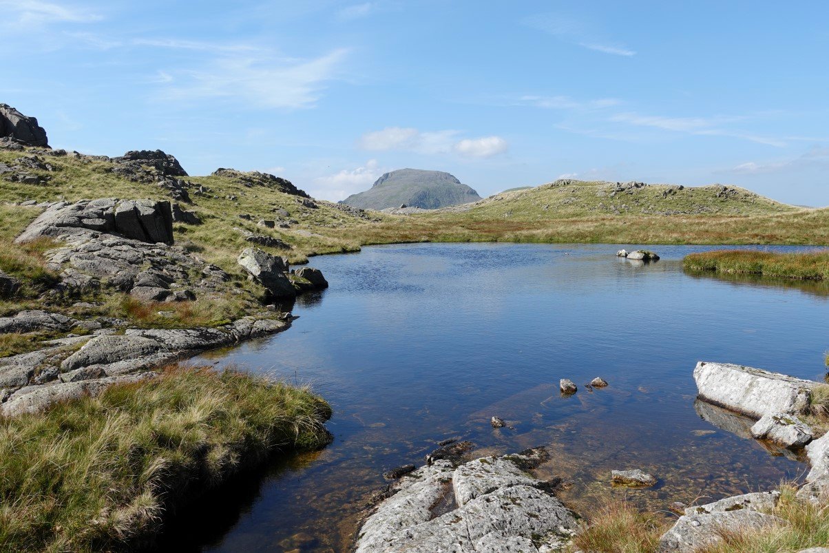
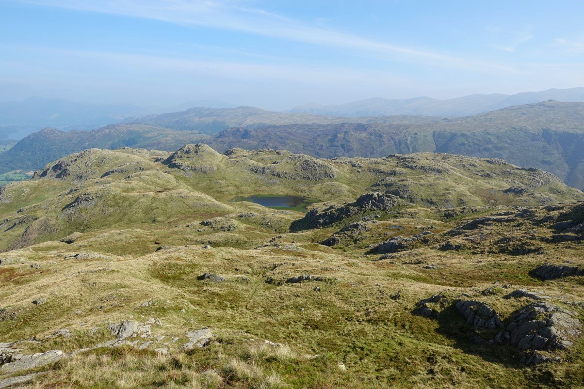
High House Tarn, the only named tarn of the Lincomb Tarns
Although Wainwright's description of "A perfect mountain tarn" would be a good name for this one. Bowfell perfectly framed in the background
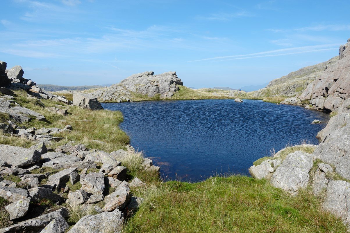
The sun was quite warm now so I spent quite a while by this lovely tarn.
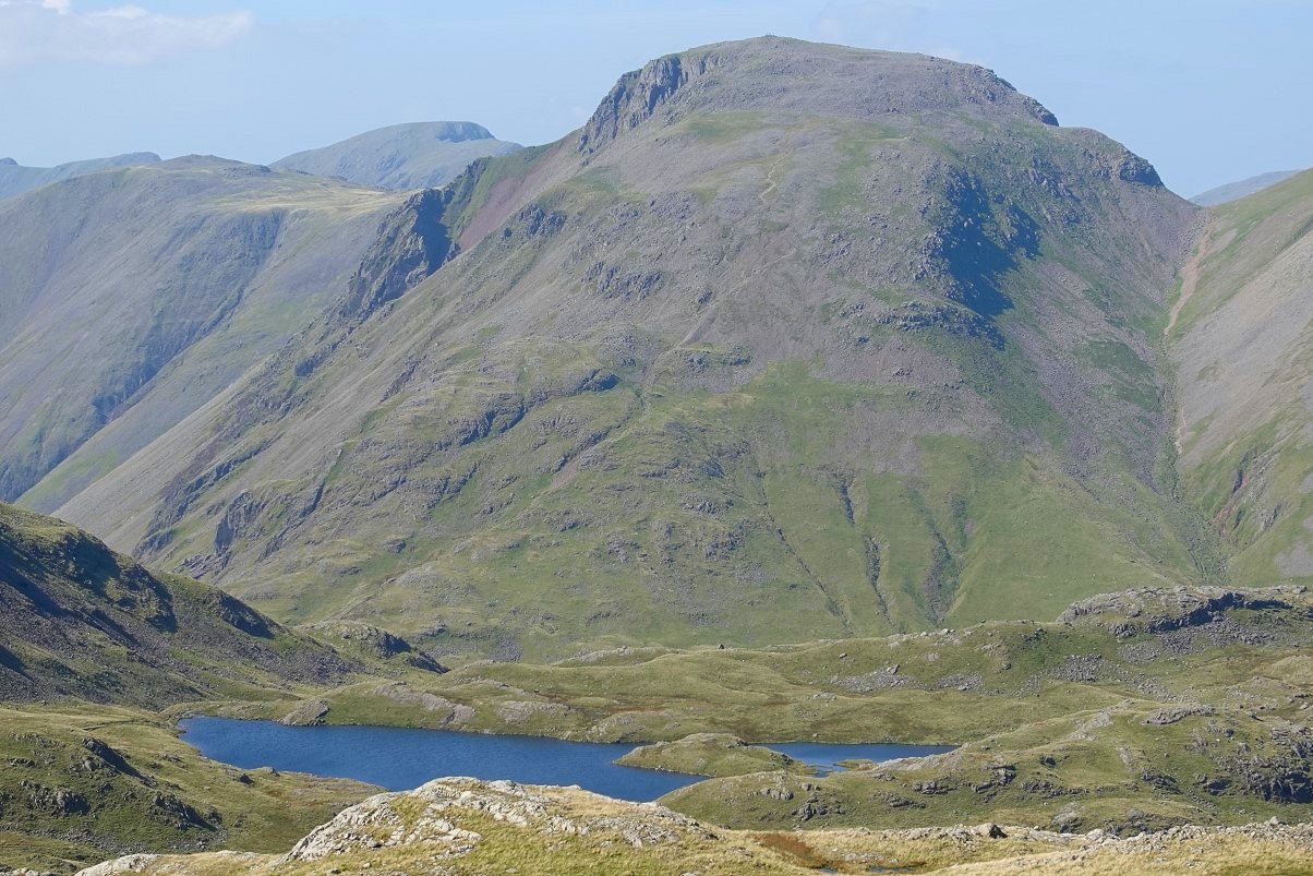
Great Gable with Kirk Fell and Pillar to the left seen over Sprinkling Tarn.
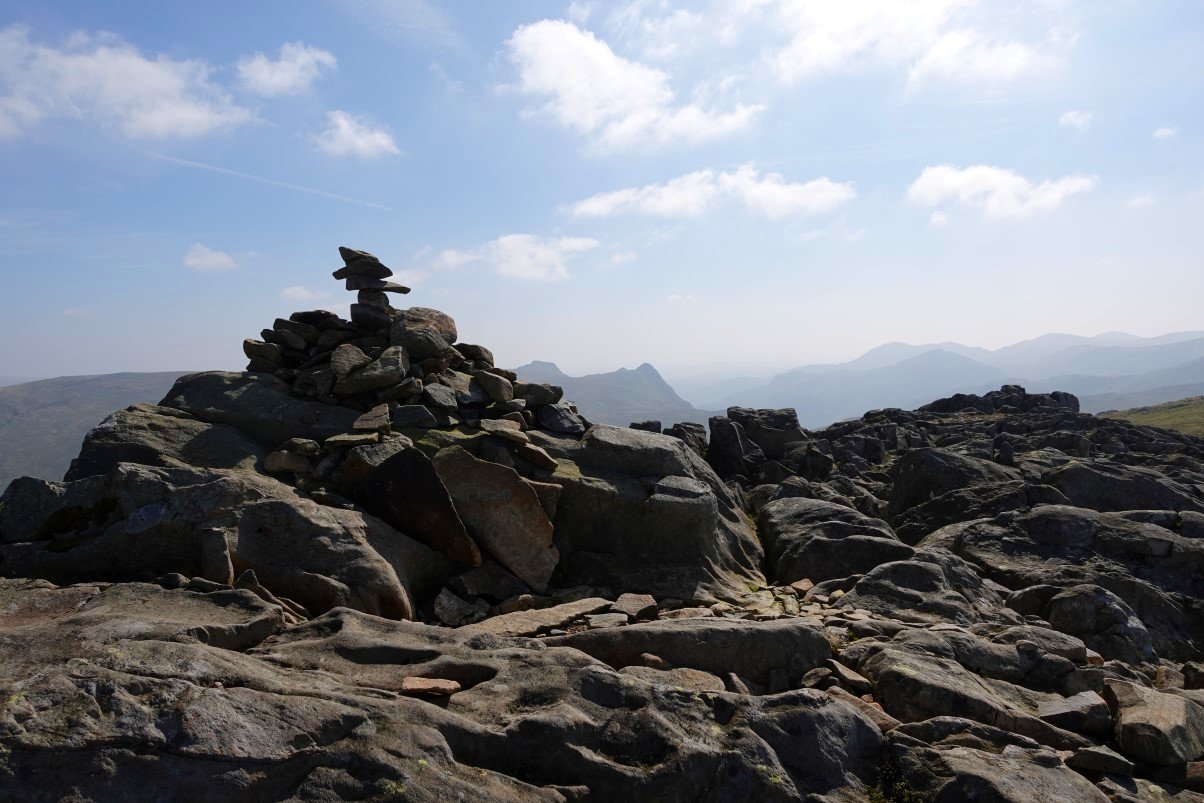
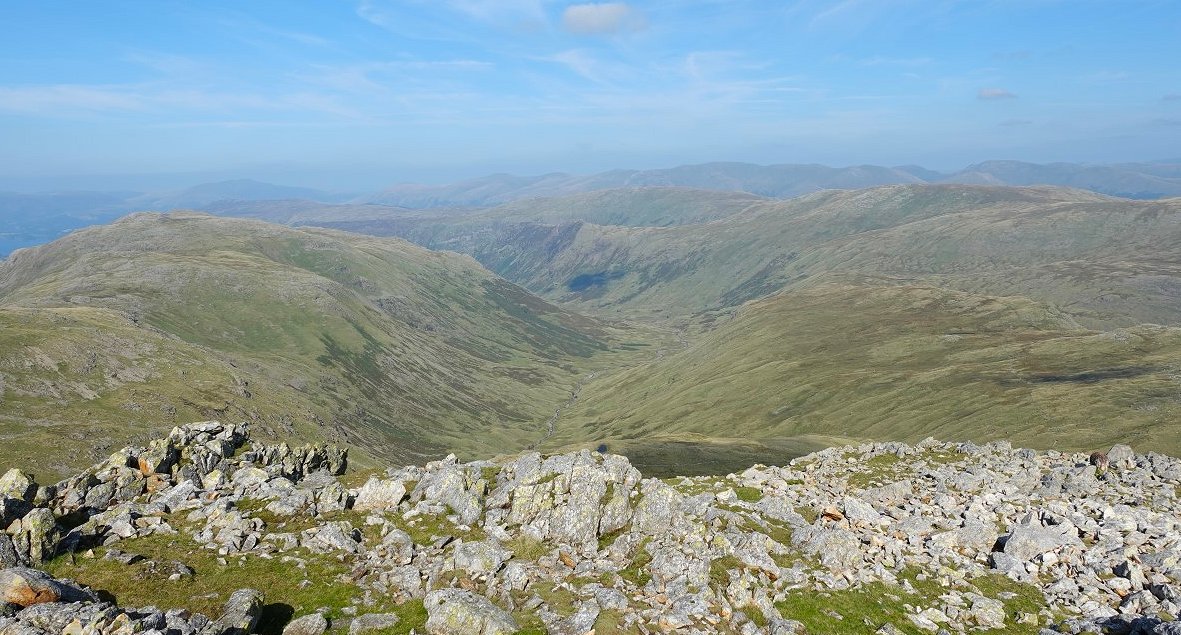
Esk Pike from Allen Crags.
And Allen Crags from the climb up Esk Pike.
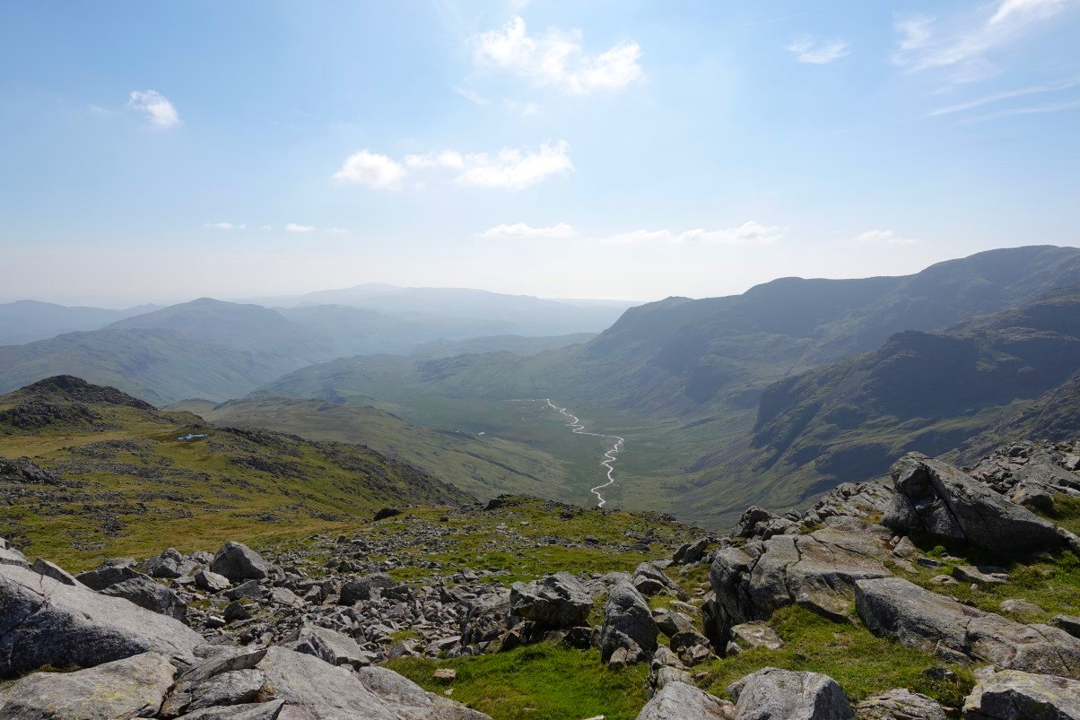
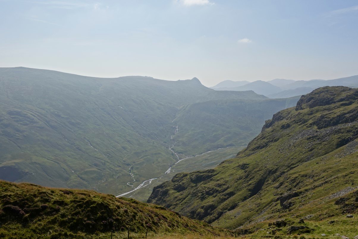
The Great Moss from the top of Esk Pike.
And Langstrath which I'll be walking along tomorrow.
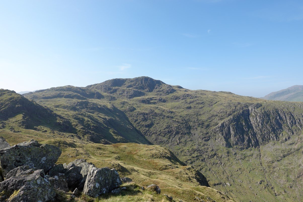
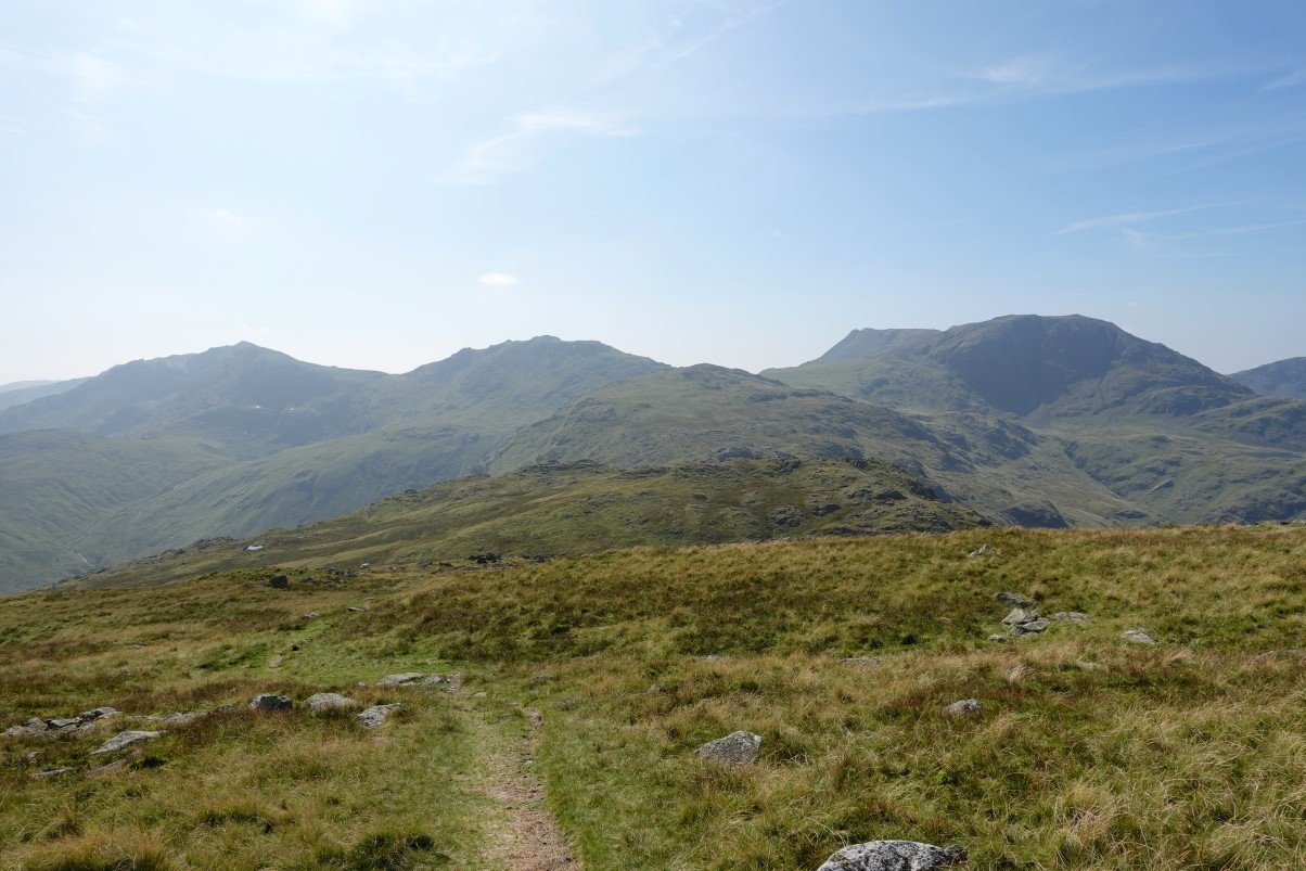
From the top I dropped down the broad ridge heading for Pike de Bield. Bowfell and Crinkle Crags are well seen from the foot of Pike de Bield.
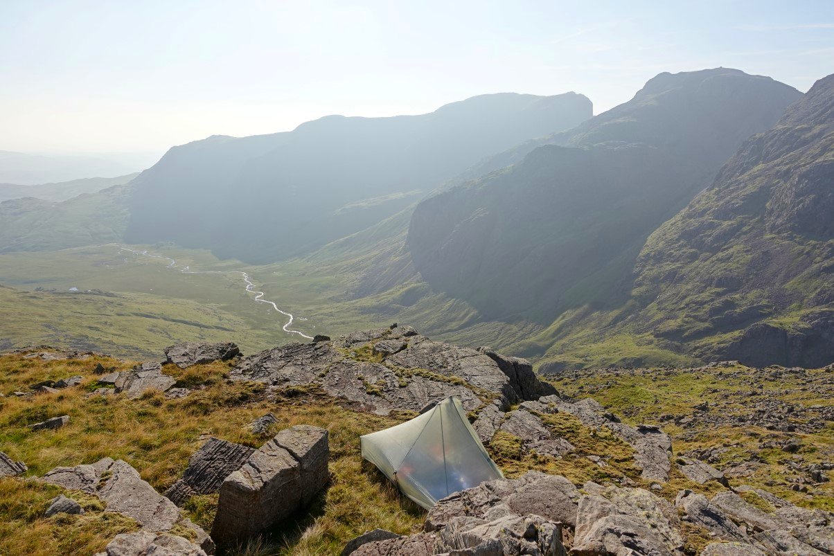
I found this small grassy shelf on the Scafell side of Pike de Bield so set up my tent there
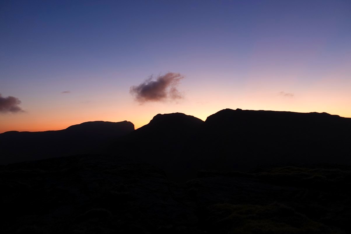
The sun setting over Scafell Pike. Scafell to the left and Broad Crag to the right.
Lovely evening sky over Hard Knott and Harter Fell.
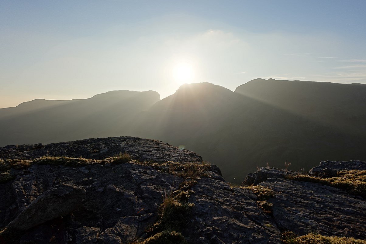
The top of Esk Pike just catching the last of the sun.
As does Bowfell.
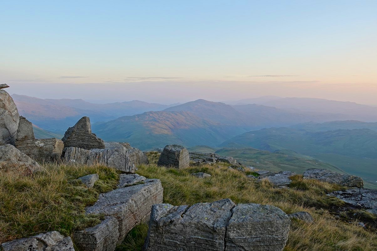
The outline of England's highest ground.
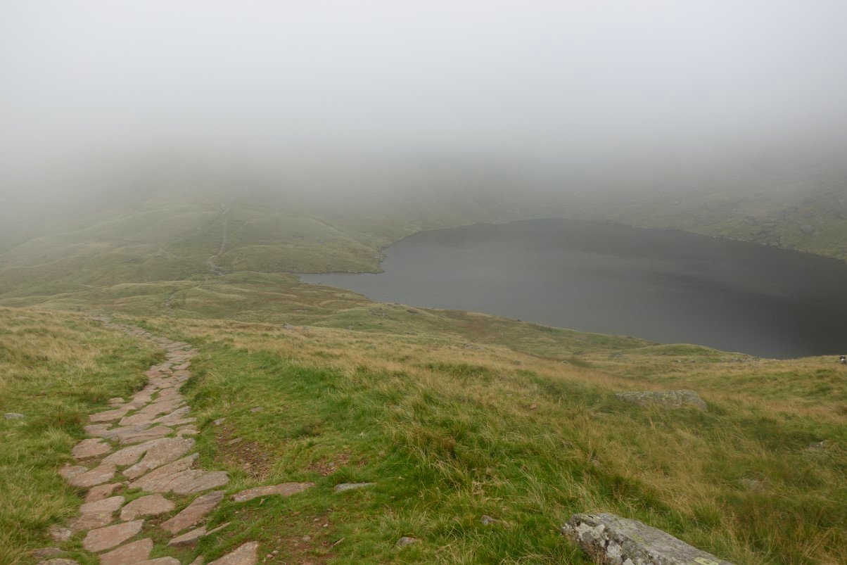
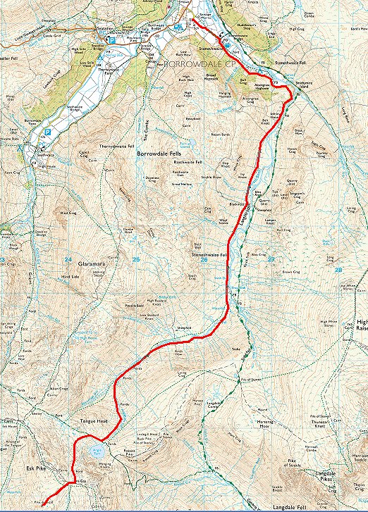
Sunday was forecast to be and was a much cloudier day. The breeze which had been quite chilly at times yesterday had gone so it felt a bit warmer overall. Angle Tarn appears out of the mist as I descend to Langstrath
The path down.
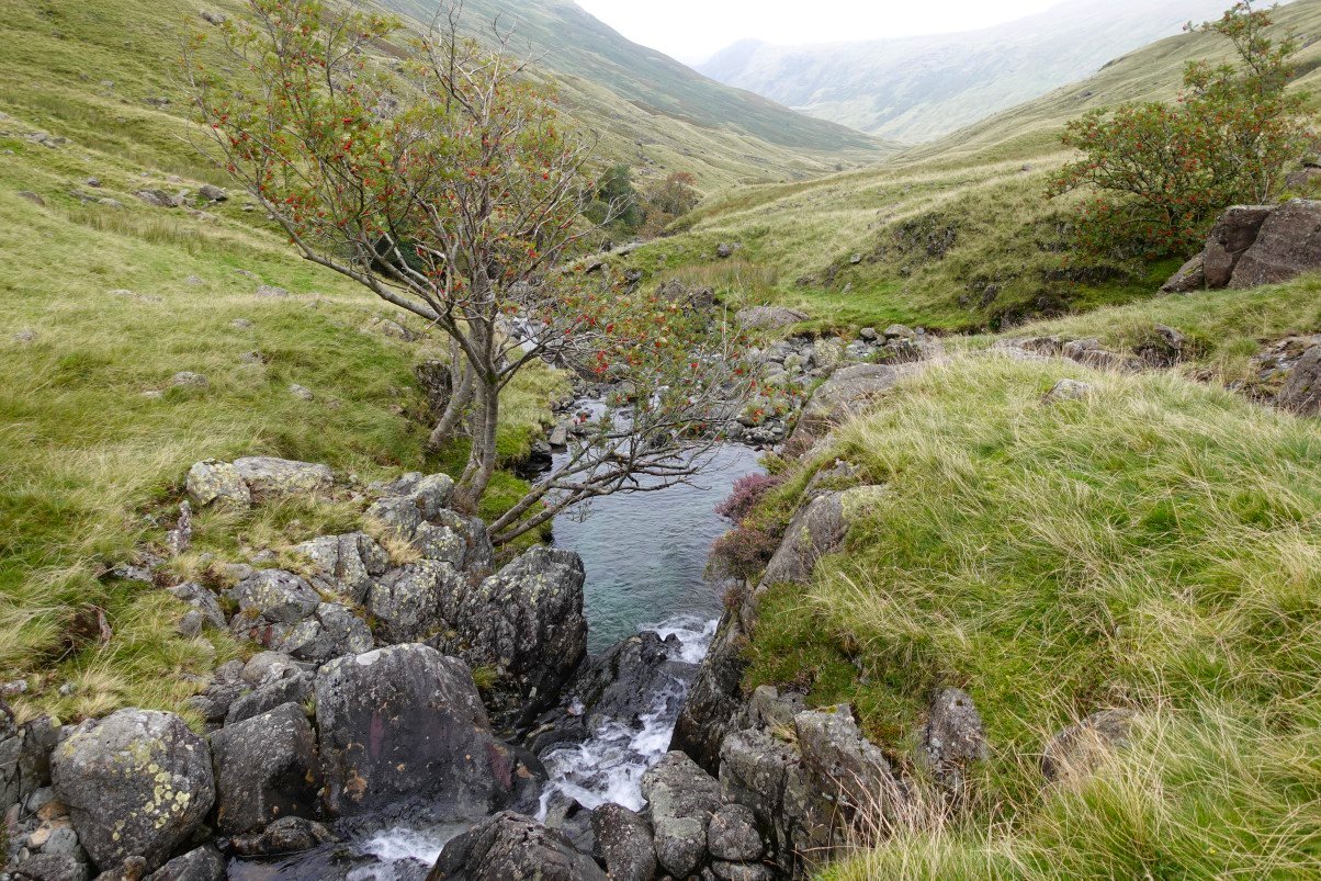
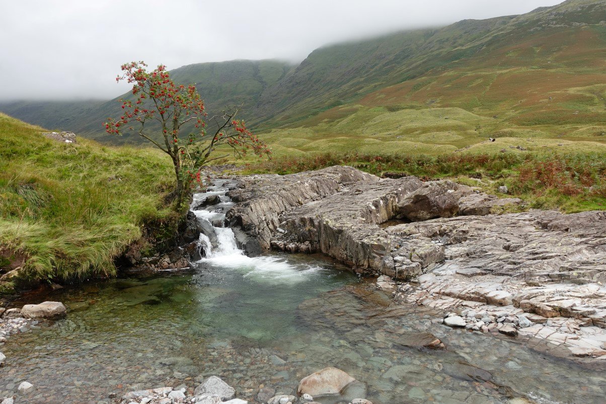
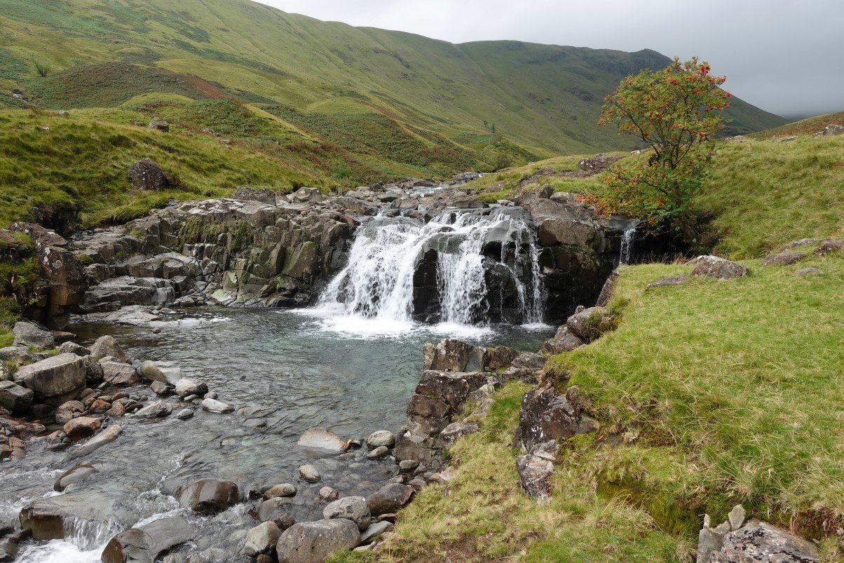
Once at valley level you come to the beautiful waters meet of Angletarn Gill and Allencrags Gill.
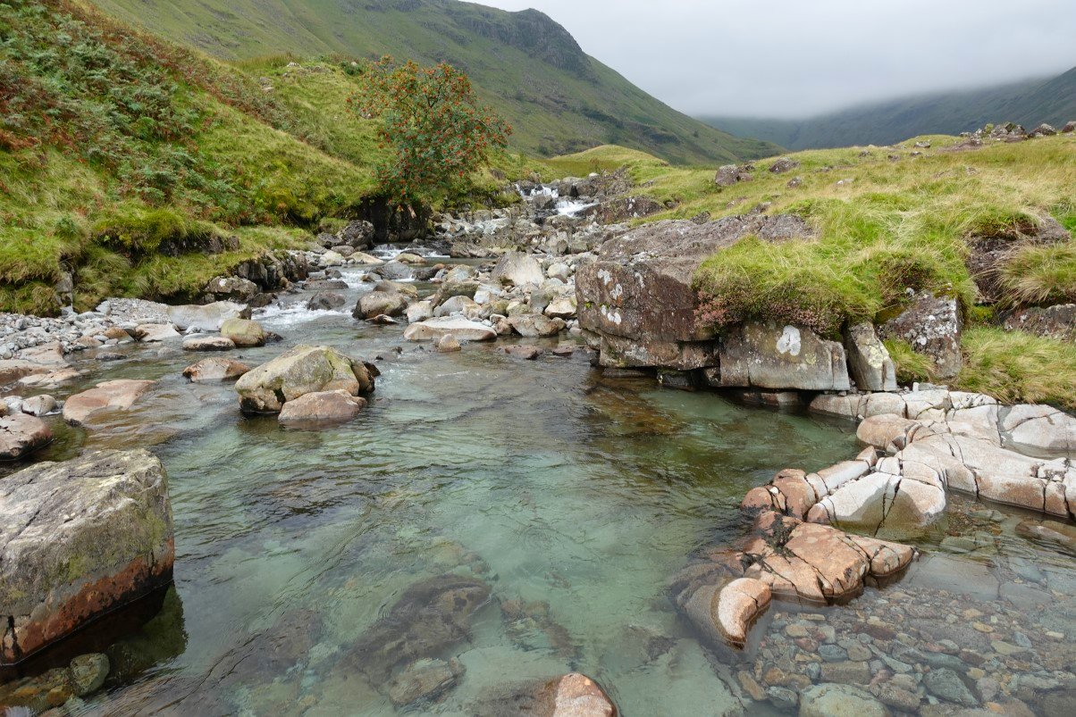
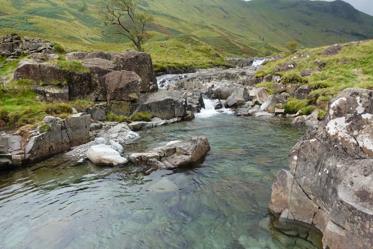
As I said the day felt a bit warmer so I thought a dip would be nice and it was.
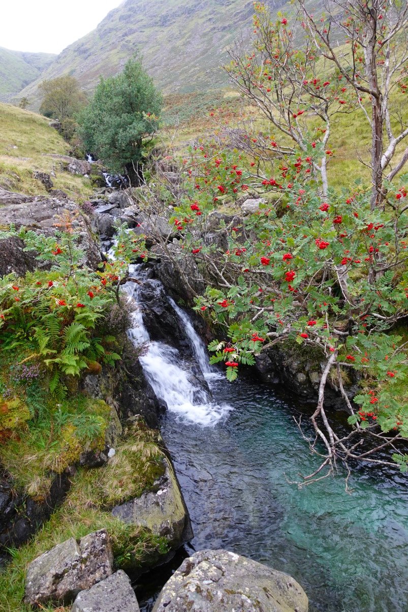
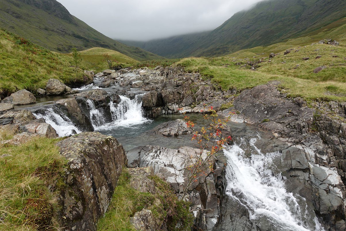
The following photos record my walk down Langstrath keeping as close to the water as I could. I took a photo of every one of the cascades and pools and filed them away in my memory for future picnic and bathing spots.
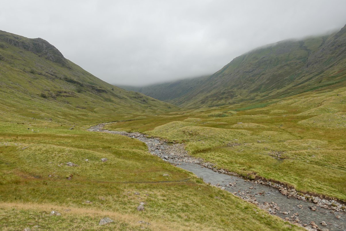
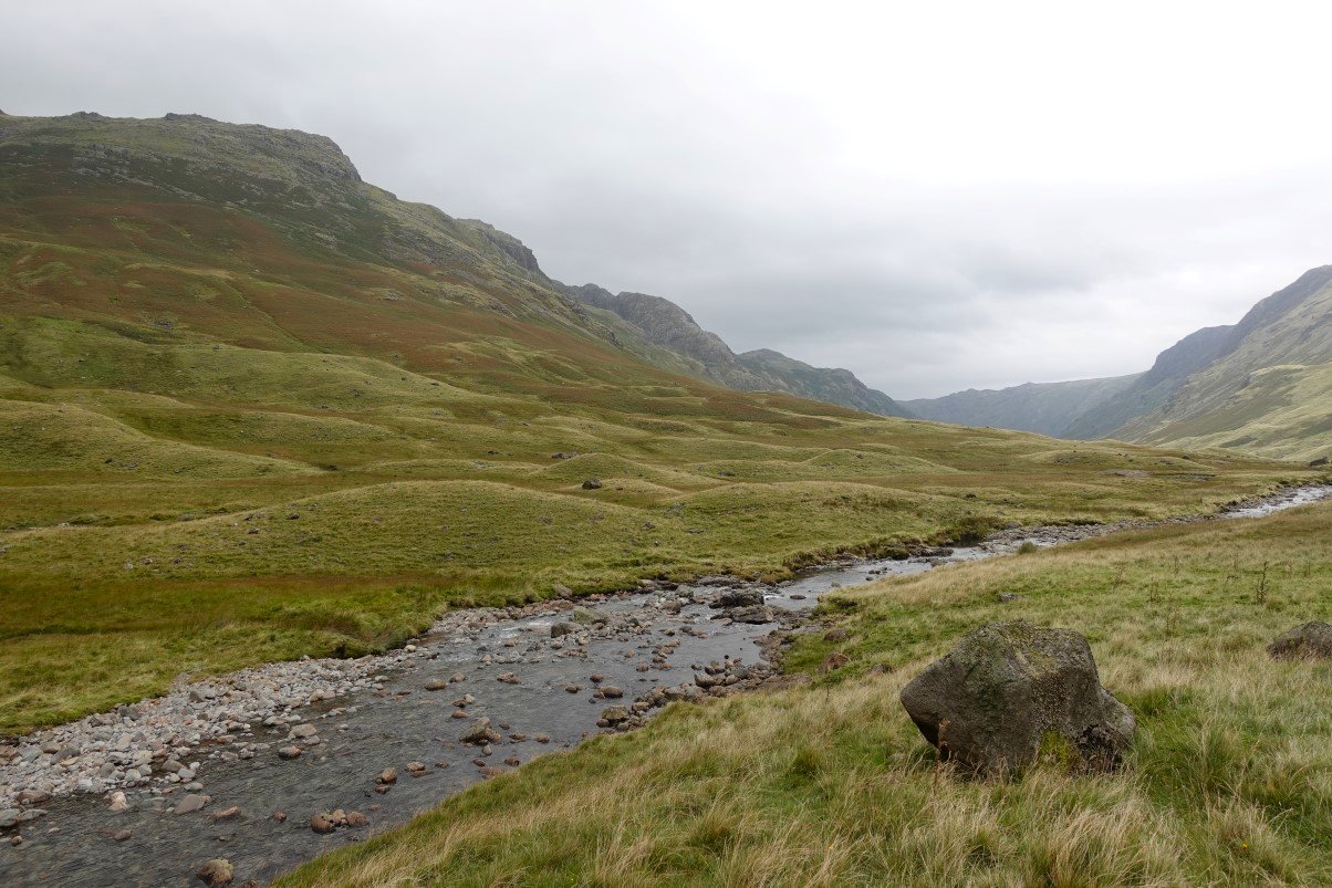
Looking back up to the head of the valley.
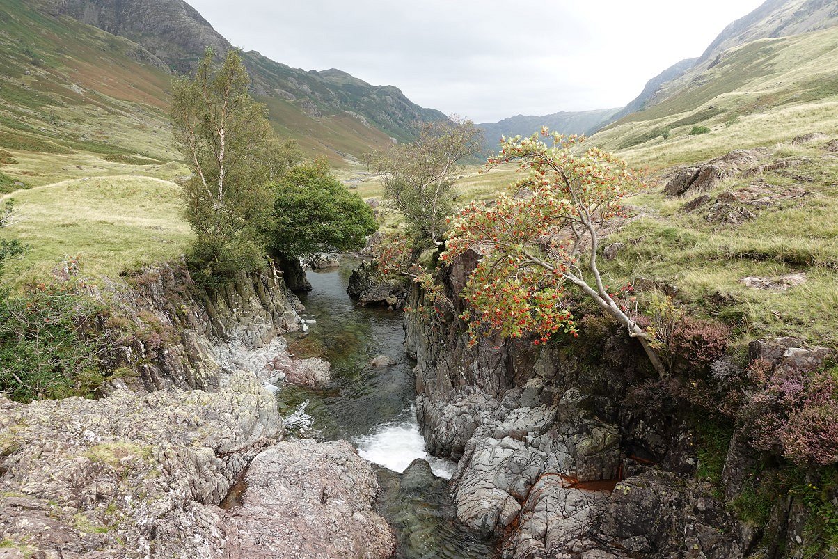
Eventually I reached the more well known Tray Dub. This photo is from the bridge across it.
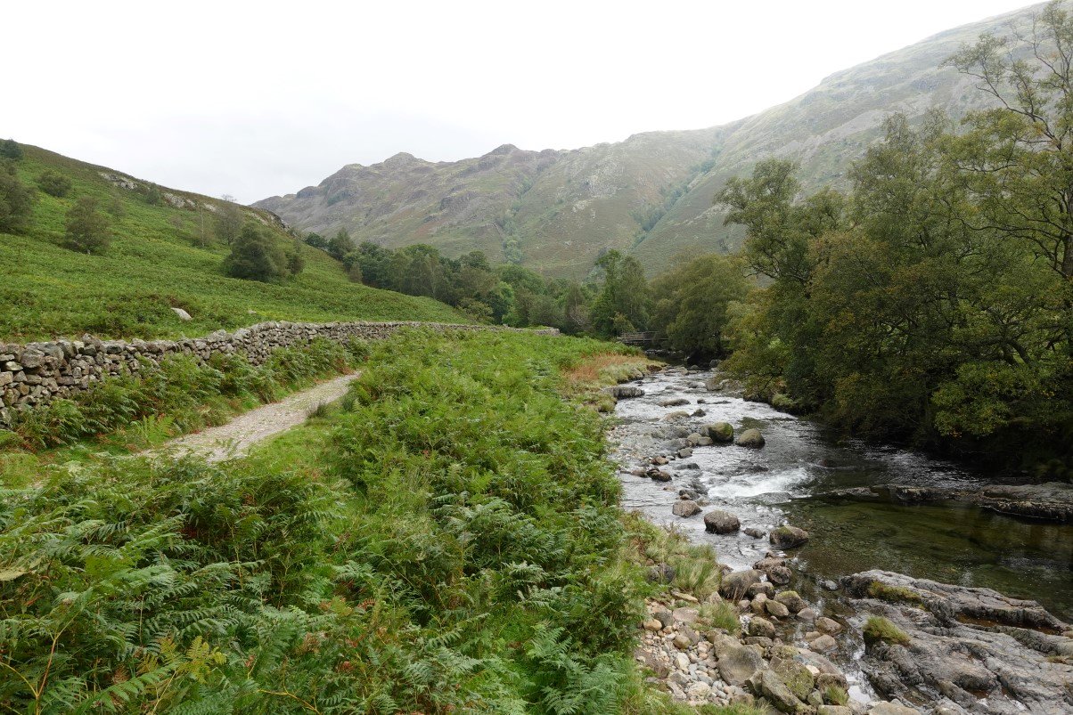
I passed on visiting the well known swimming spot of Blackmoss Pot as there were quite a few teenagers cavorting around and I thought an old bloke with a camera might not be welcome. Here I'm coming to the bridge at Johnny House with Lingy End in the background.
A last look back up Langstrath.
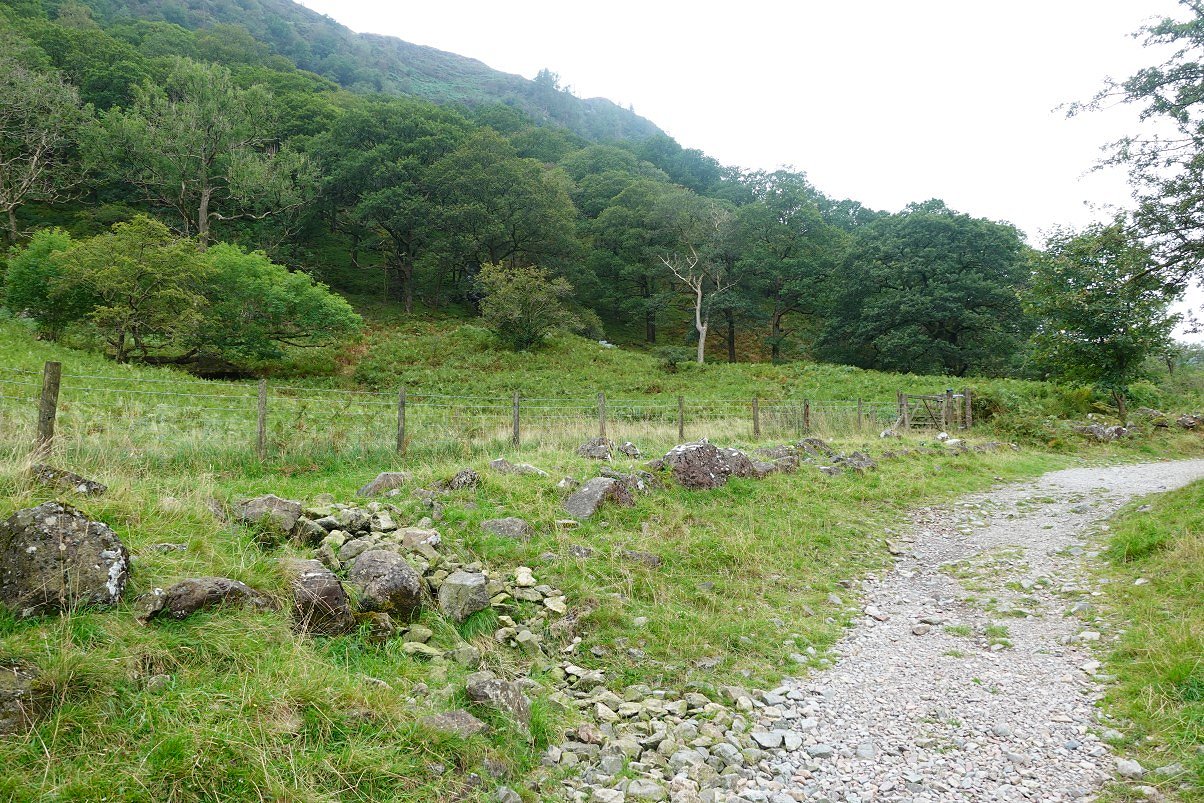
Passing the gate through which I started my climb yesterday.
Previous walk -- Around Borrowdale - Next walk - Binsey to Keswick via Dodd and Latrigg