WWW.KARLSWALKS.CO.UK
PICTURES AND TRIP REPORTS FROM MY WALKS IN THE ENGLISH LAKE DISTRICT
|
E-mail - karl@karlswalks.co.uk |
Another linear walk making use of the bus ( still £2 at the moment ) When I've climbed these three fells before it's usually been as an add on to a shorter day or a visit with the family when we have been in the area. I started to think if it would be feasible to walk all three at once so set about planning a route which turned out to be something different to what I usually do but really enjoyable although in isolation each of these fells are quite modest in height there was quite a bit of up and down and my legs were complaining as I climbed Latrigg.
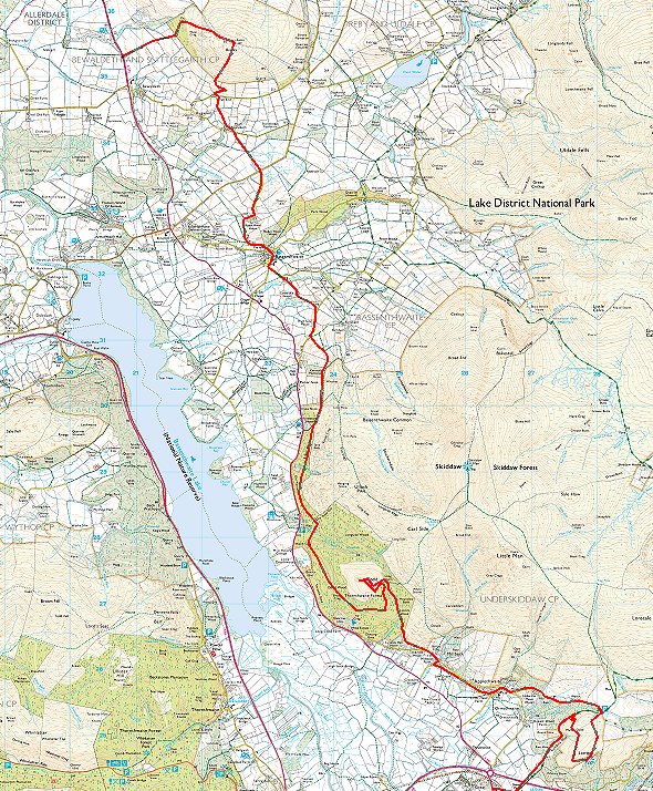
Due to the bus timetable I really needed to do this walk on a weekday so I took a day off on Friday and drove up to Keswick and parked on Brundlholme road in plenty of time for the first bus of the day at 8.45. The bus arrived on time and about twenty-five minutes later I alighted just outside Bewaldeth a short way from the track across the fields to Binsey. This is looking along the track with Binsey ahead.
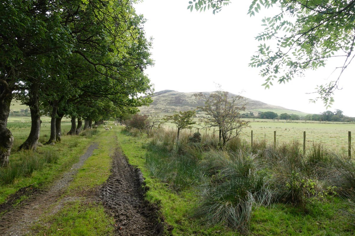
After crossing the fields the path starts to climb gently. The view opens up to the north western fells.
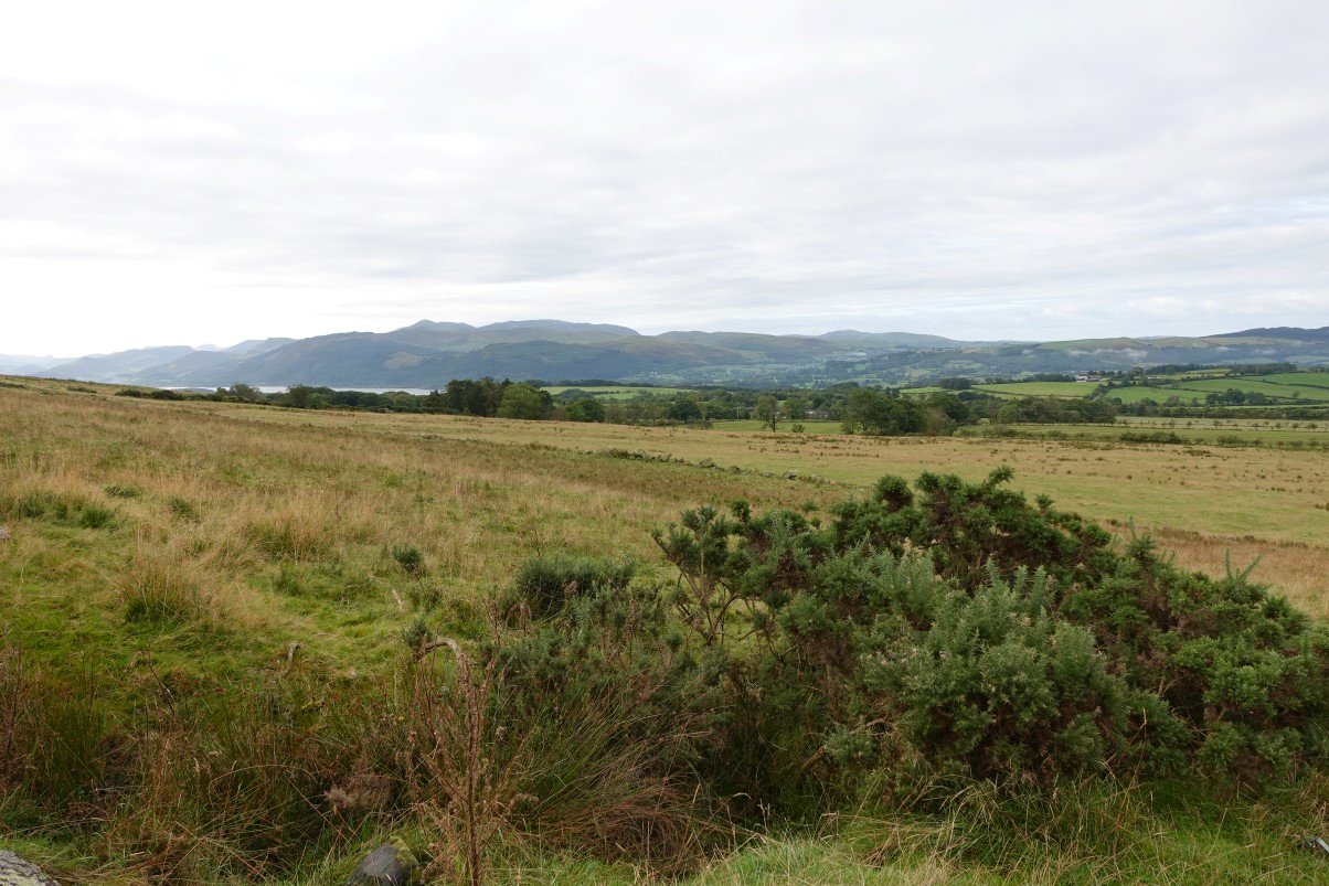
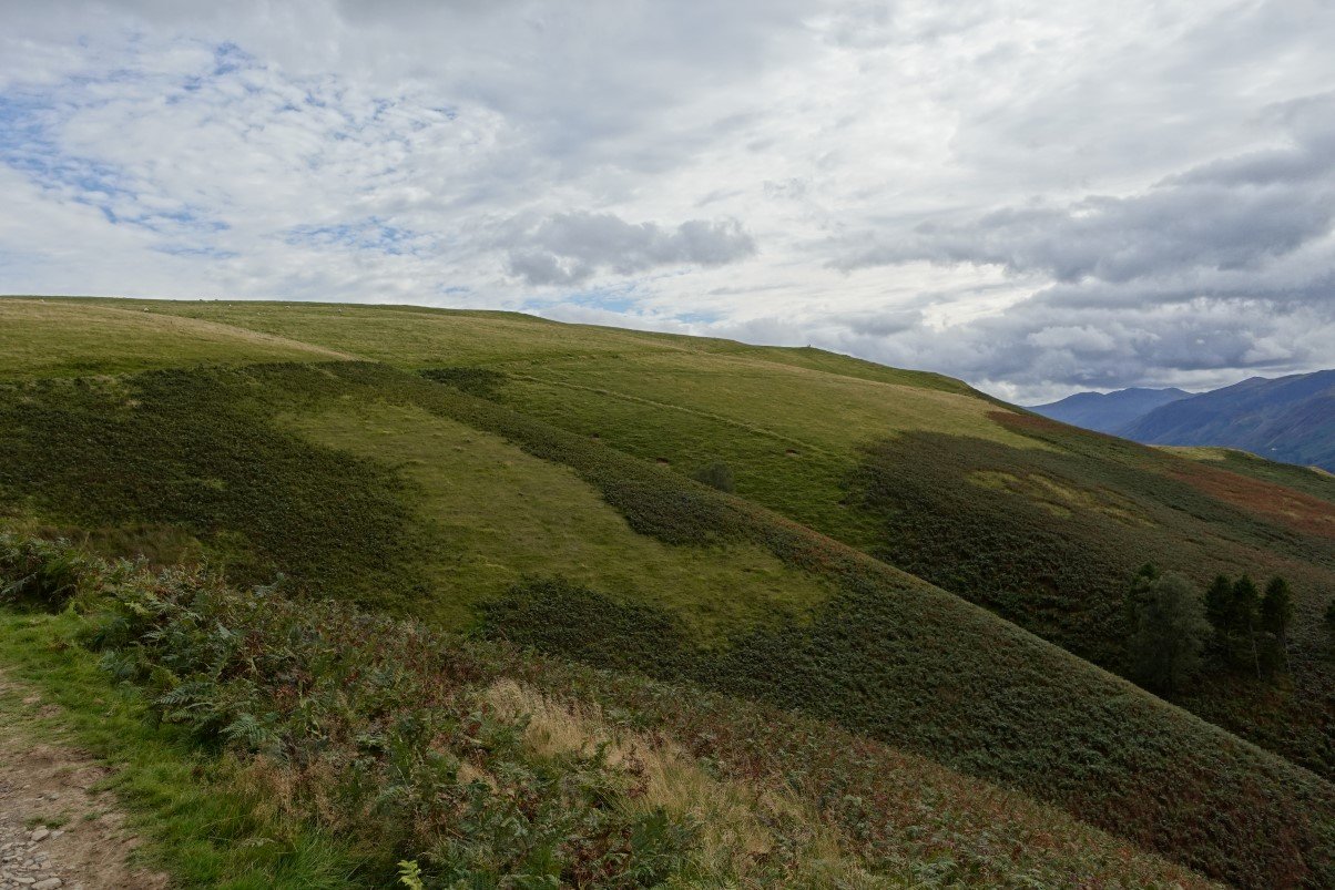
Passing the now grassed over pit marked on the map. West Crag, the only craggy bit of Binsey is the outcrop ahead.
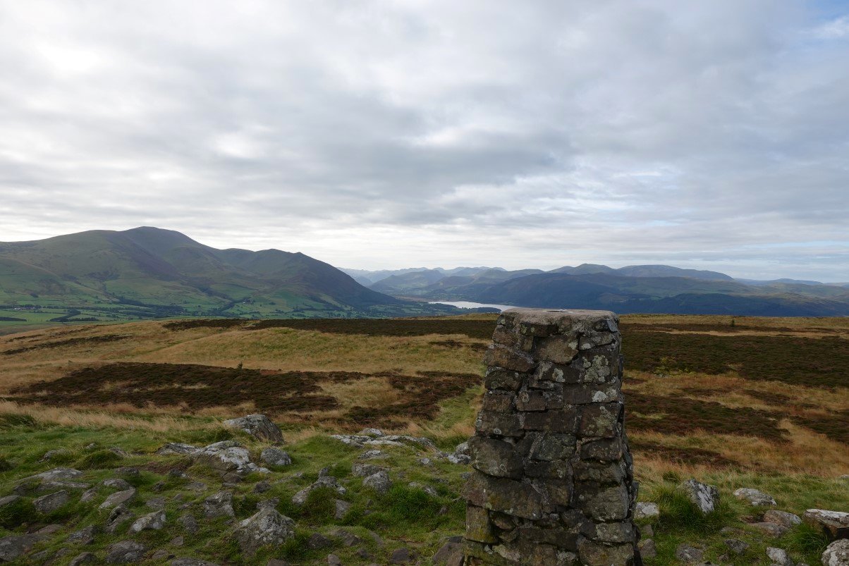
The nice grassy path soon gets you to the top and with it the view of the Skiddaw group and down into the central Lakes.
And to the east is Overwater and the fells around the back O' Skidda'
.
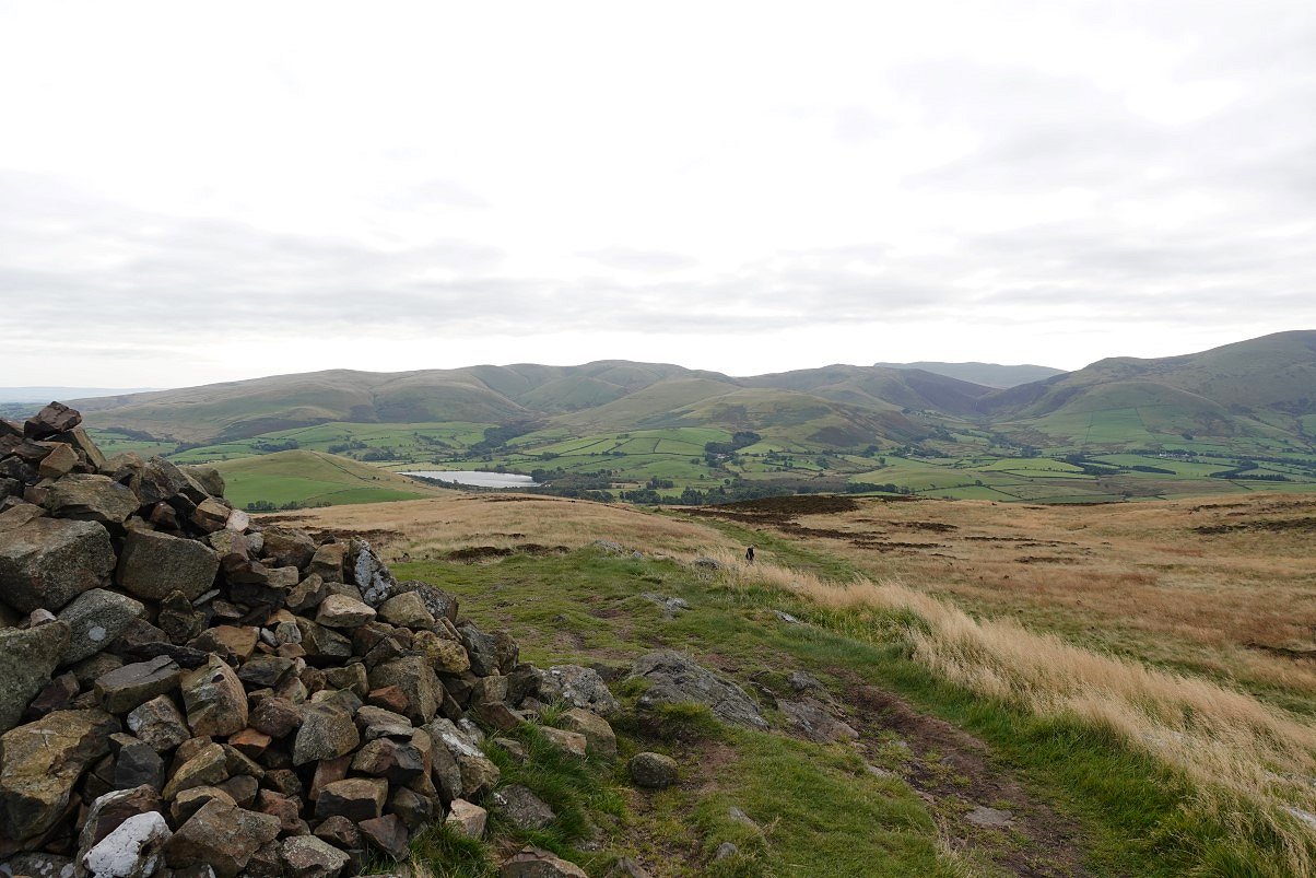
From the summit there is a clear path heading steeply down to Fell End farm.
Looking back to Binsey from the path to High Bewaldeth. The weather has cleared up and it's even quite warm which I didn't expect when I was scraping a thin layer of frost off the car this morning.
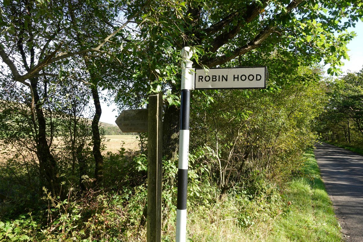
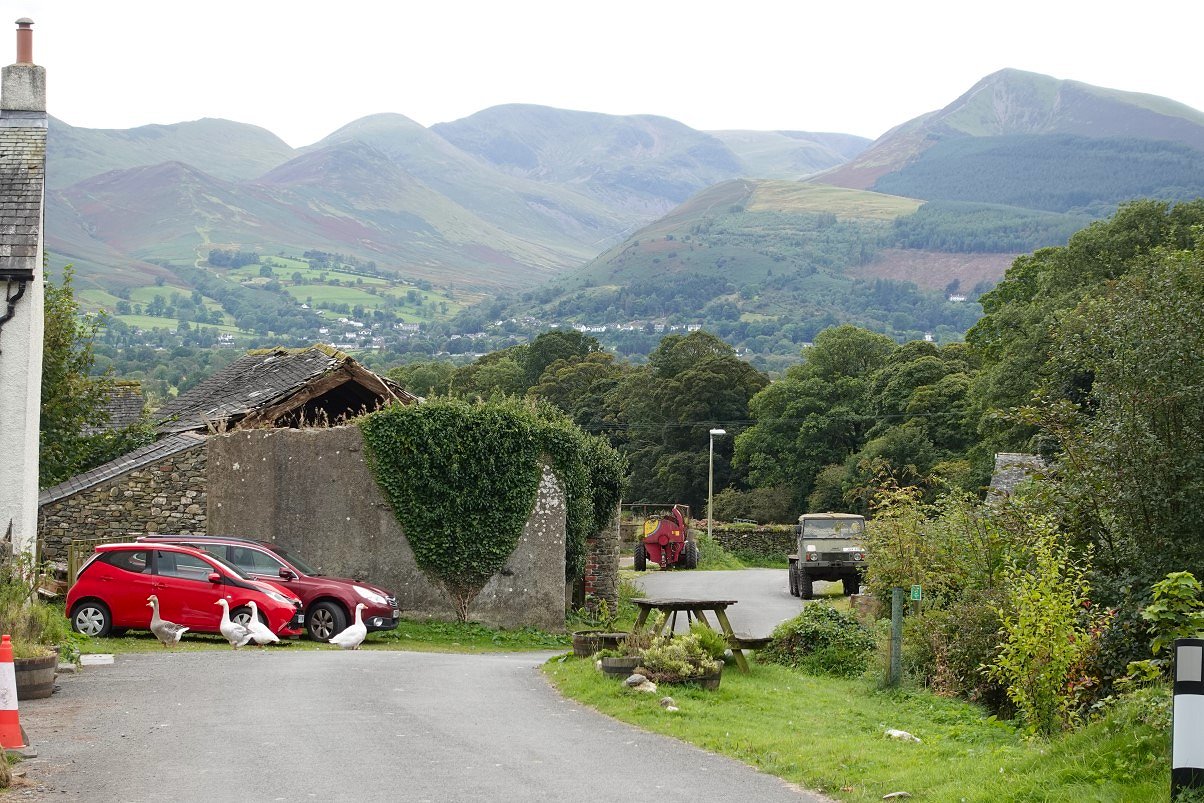
After crossing a quite boggy field path I have reached the Ireby road. The path meets the road exactly opposite the start of the road known as the Rake which as you can see heads for the hamlet of Robin Hood.
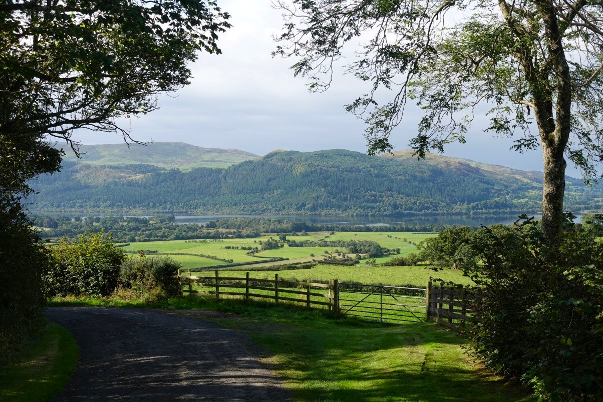
By necessity there are a few sections of road walking on my route but in the morning sunshine walking down the very narrow Rake through Robin Hood especially with the lovely view across Bassenthwaite Lake to Sale Fell this wasn't a hardship at all. ( The only motor vehicle that I saw was the postman's van )
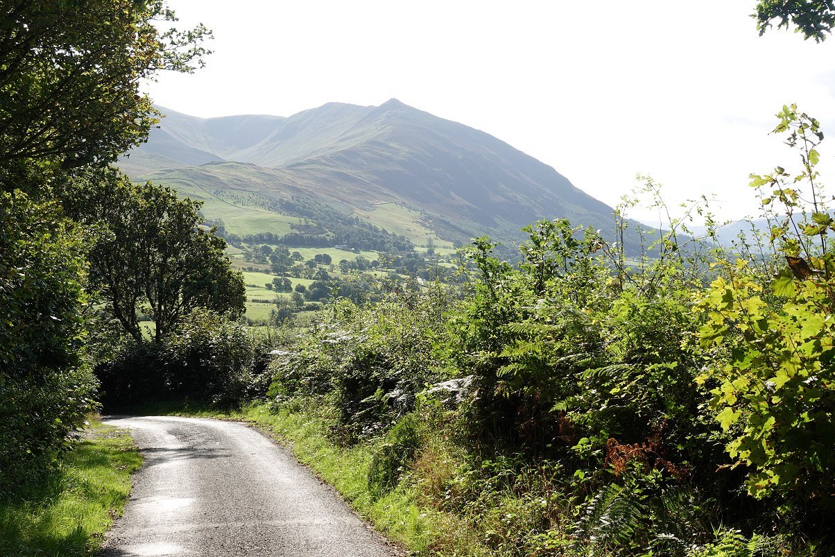
The Rake steepens as it approaches Bassenthwaite village. The view ahead is to the dramatic Ullock Pike ridge leading to Longside and then Carlside.
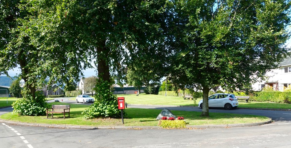
Bassenthwaite village green.
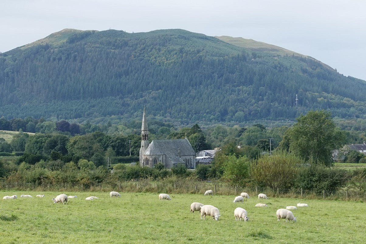
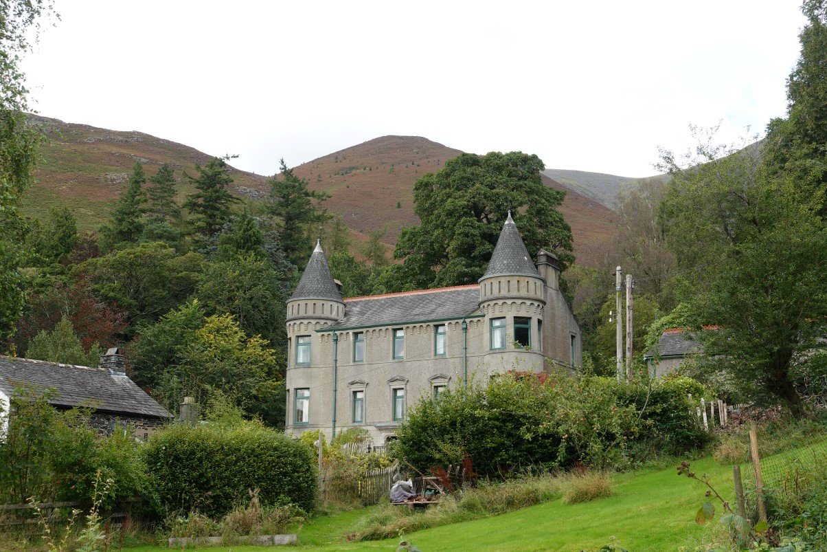
From Bassenthwaite I left the road and followed a very pretty path through farmland which climbs up to meet the High Side road. This is looking back to St. Johns church..
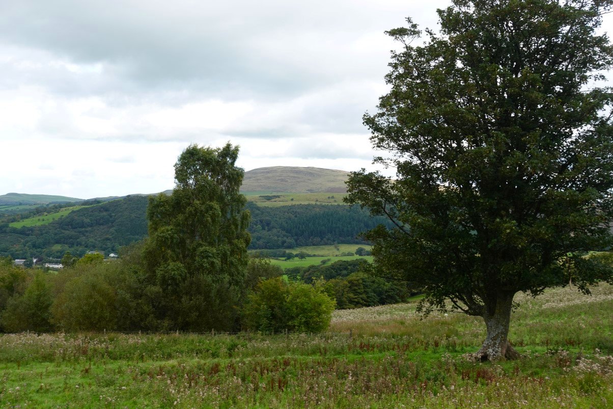
Binsey again from just before High Side. The blue skies had gone and it suddenly felt quite chilly so the layers I'd taken off earlier were put back on again.
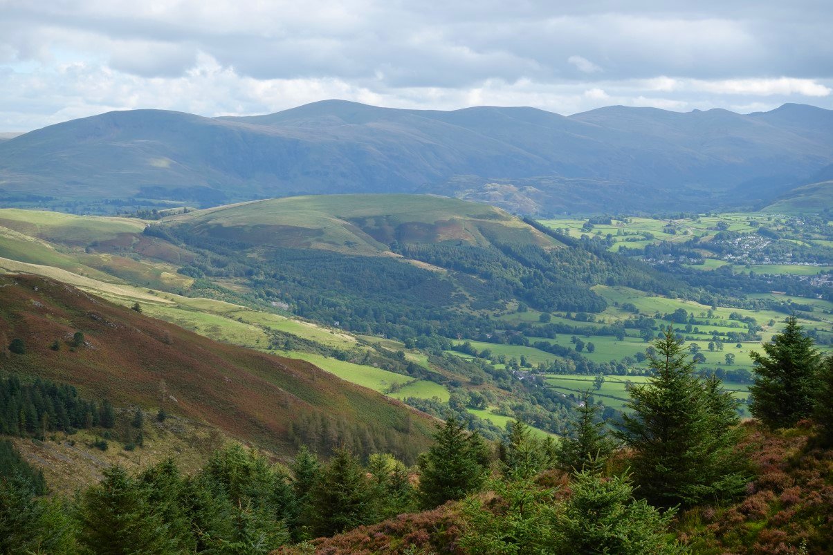
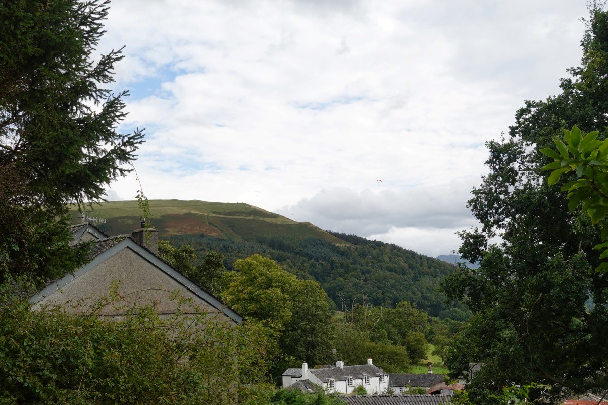
After climbing away from High Side I had to descend below the Watches and follow the path through plantations of Rabbit Warren and Sandbed Gill. Rain wasn't forecast till evening but dull skies further south towards Keswick look like they could be bringing rain.
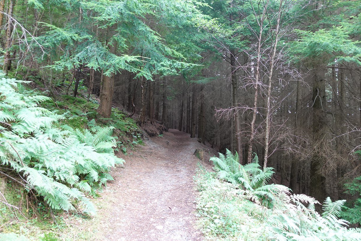
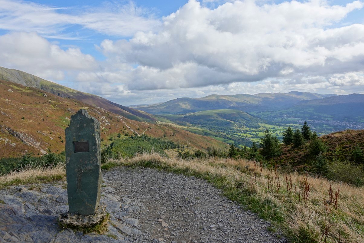
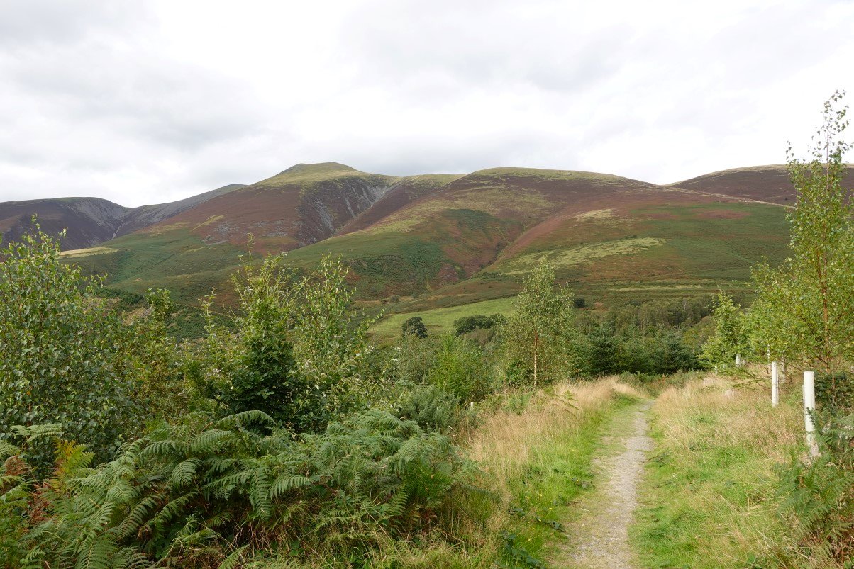
By the time I reach the plantations the sky had cleared and the temperature had risen so it's back down to my T shirt. From here to Long Doors is a continuos climb and seemed to take forever ( although when looking at the times on my photos it took around 40 minutes but it felt a lot longer ).
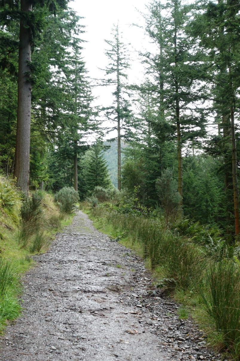
The first sight of Dodd's summit through the trees.
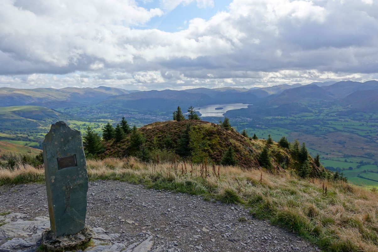
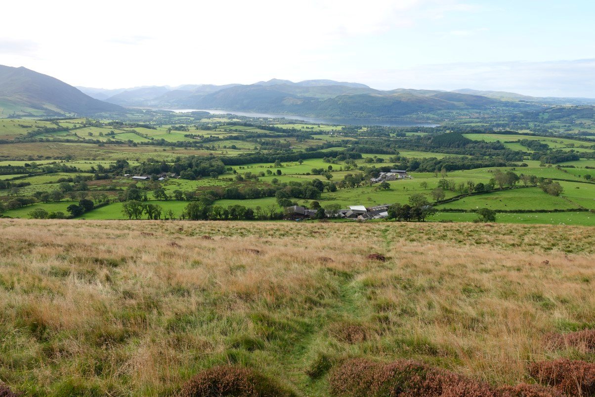
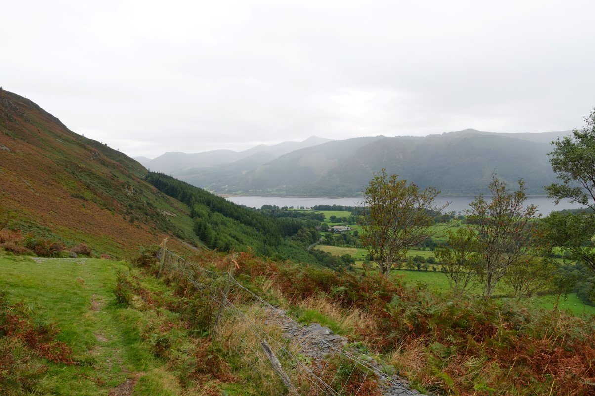
Finally on to the top. Derwentwater and then the high fells below.
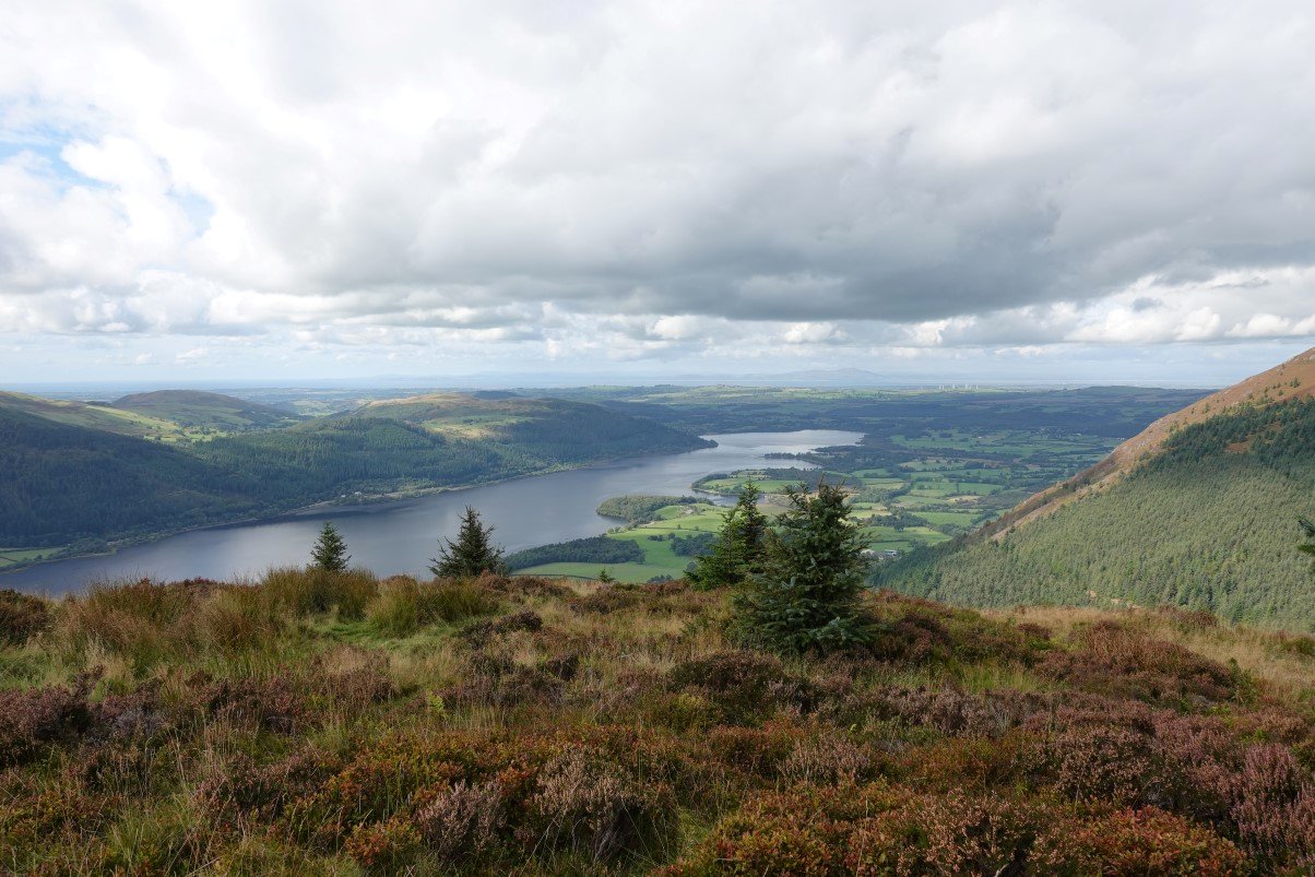
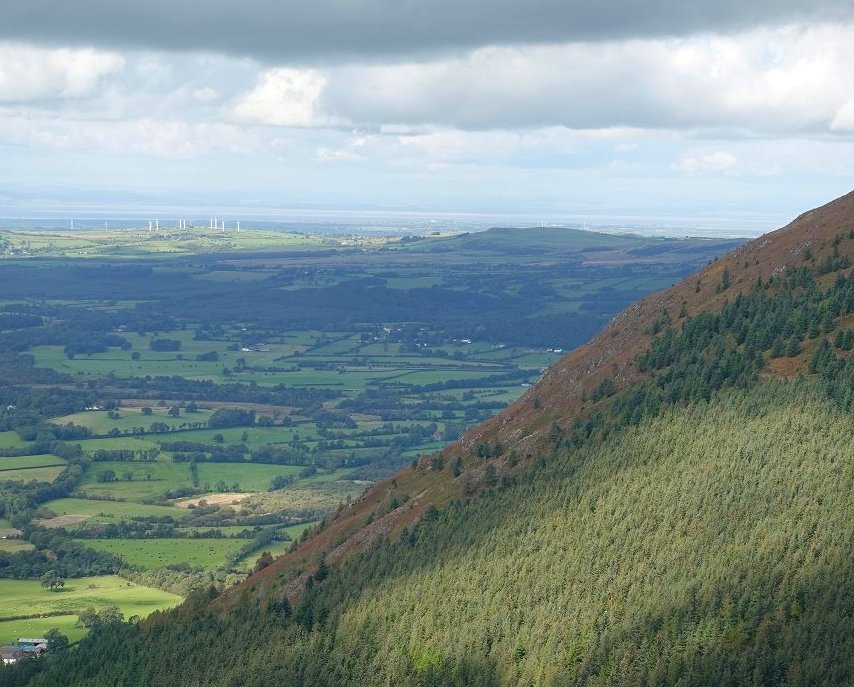
Looking north along Bassenthwaite Lake to the coast and Scotland across the Solway Firth.
A last look at Binsey as from now on I won't be able to see it.
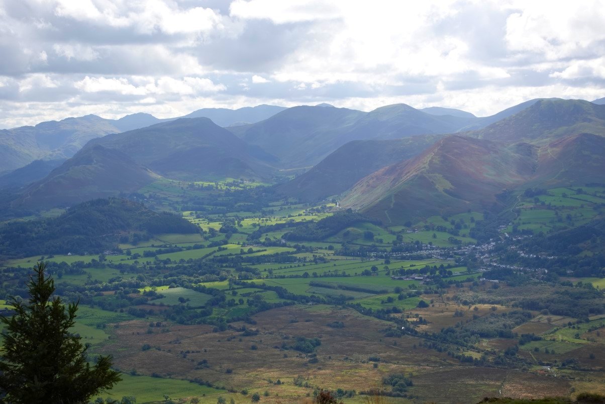
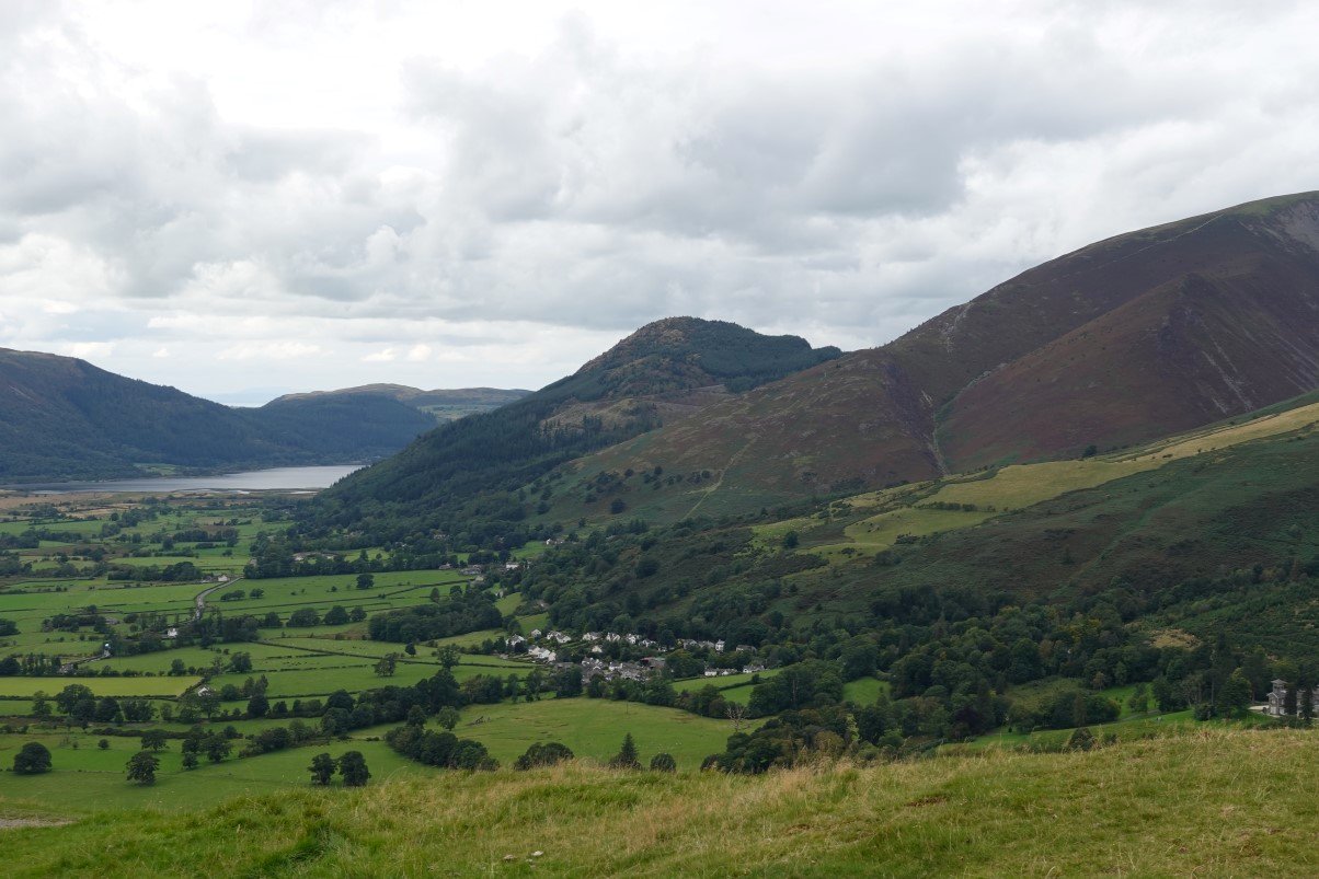
I can see the wonderful Newlands Valley and the fells around it though.
Latrigg is the green rounded hill below. The fells of the Helvellyn ridge are above.
Zooming in on Latrigg. It doesn't look very far at all !
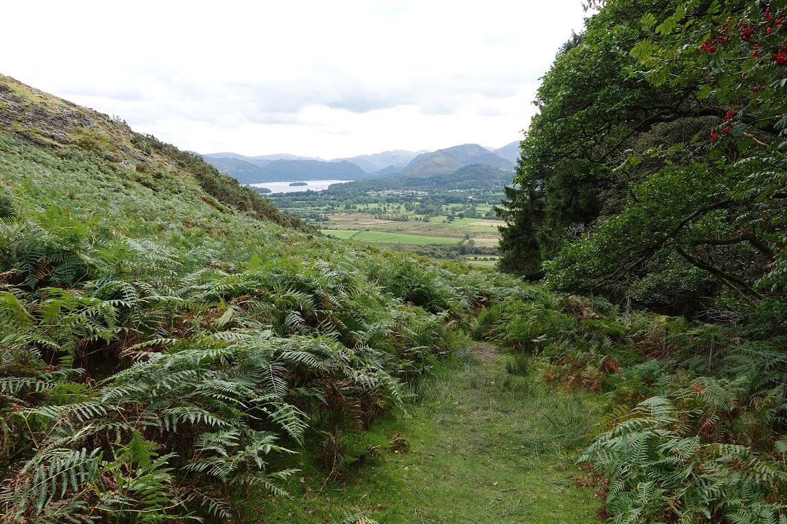
After leaving the top of Dodd I follow the forest roads down into Lyzzick wood. This is the view looking down to Derwentwater from the stile where you leave the wood.
A boggy path descends to Millbeck which was very quiet, just a few locals going about their business on a warm September afternoon.
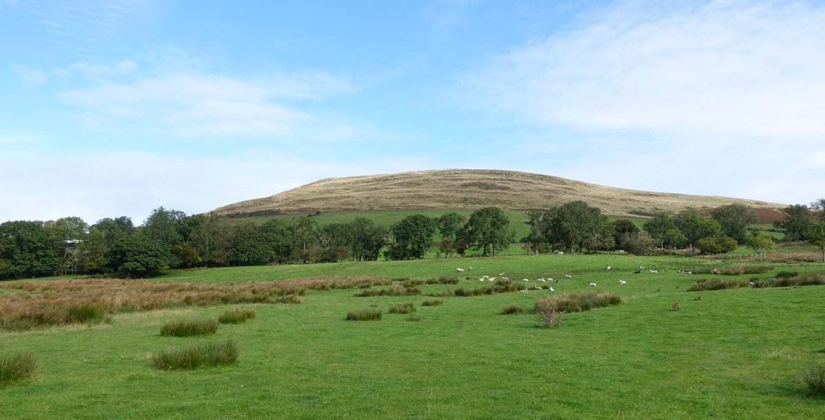
Passing the distinctive house with Carsleddam in the background.
Latrigg above from the road above Applethwaite. This and the Rake are coincidentally both the same length at just under a mile and a half but again I saw hardly any traffic so the road sections have been ok and in a lot of places there has been grass by the road to walk on so my feet were not sore at all.
But after saying that I took the chance to leave Gale Road as it climbs steeply to the car park. Skiddaw Little Man is the top above to the left with the Summit of Skiddaw behind.
The path up by Mallen Dodd is a nicely contoured one and soon the top of Latrigg appears.
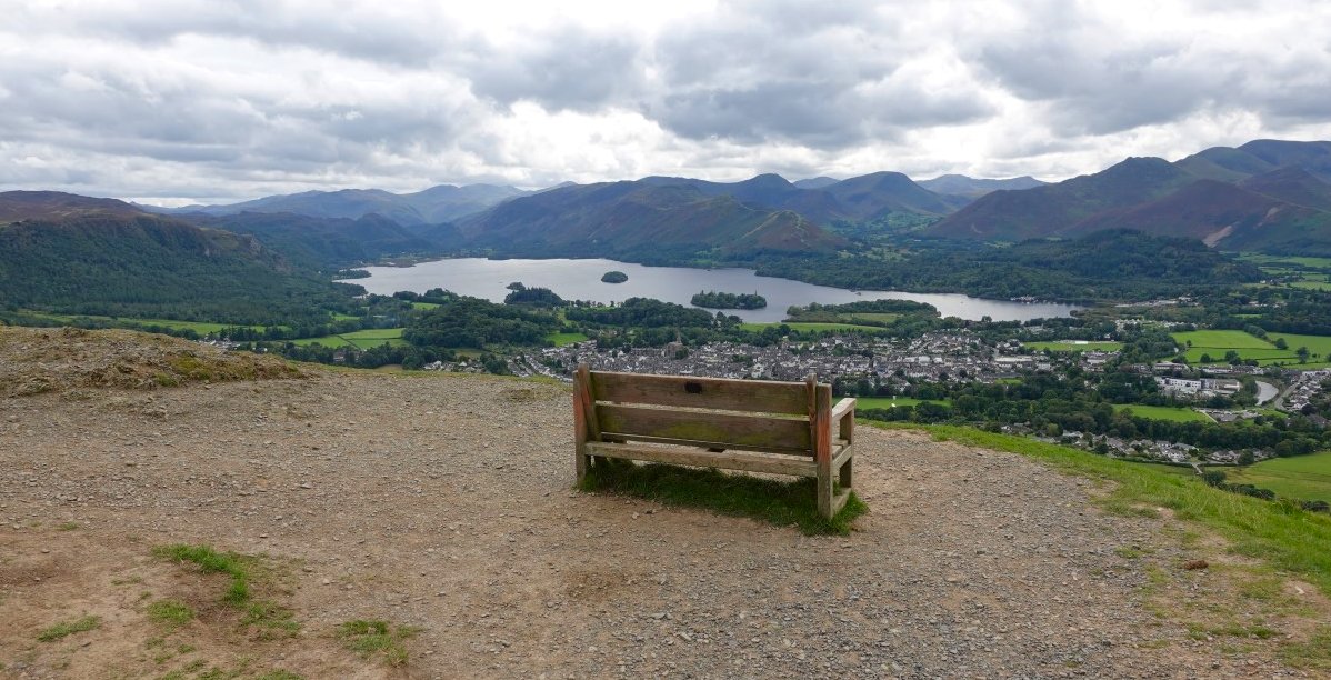
The view of Keswick and Derwentwater from just below the top. I made use of the bench to give my complaining legs a rest and to eat the rest of my sandwiches.
Looking back to Dodd.
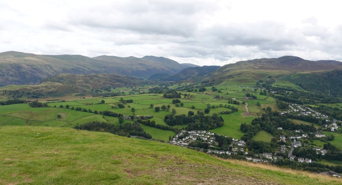
On to the very top now. High Rigg is the low fell to the left with the Helvellyn ridge above The high top to the right is Bleaberry Fell
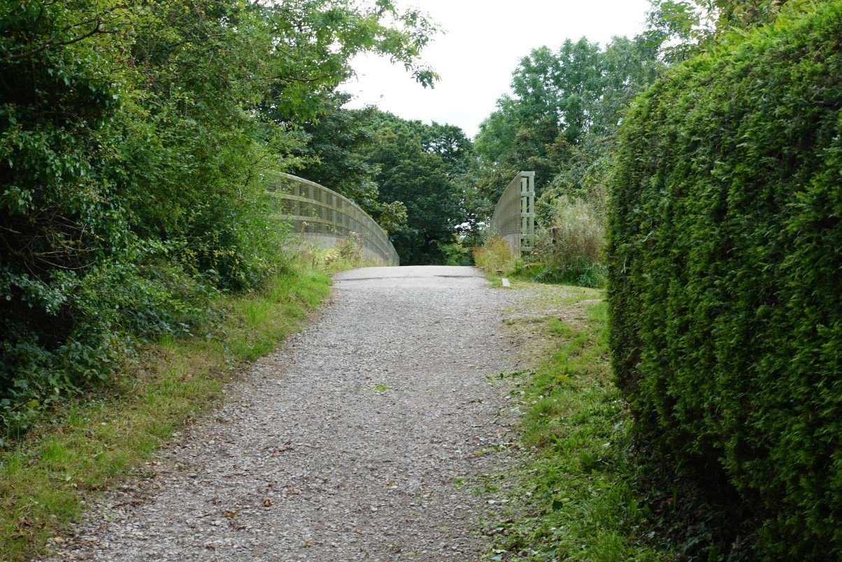
I took a more direct route down from Latrigg and I was soon at Spooney Green Lane and the bridge over the A66.
Previous walk -- Stonethwaite to Pike de Bield and back. - Next walk - The Benn, Castle Crag and Raven Crag