WWW.KARLSWALKS.CO.UK
PICTURES AND TRIP REPORTS FROM MY WALKS IN THE ENGLISH LAKE DISTRICT
|
|
|
|||||
|
|
|
|
|
|
|
|
E-mail - karl@karlswalks.co.uk |
A long planned family outing this week for a walk around the modest tops above Borrowdale and to hopefully see the heather in bloom. We had hoped for a sunnier day but although a bit dull it wasn't too bad with no rain and we did occasionally have a few bursts of sunshine. As the day wore on it did become quite oppressively warm which I think always makes any walk harder than you think it should be.
Emily, Robert, Amy and I had traveled up in my car and met David at the free park and ride car parks just off the M6 at Junction 34. We swapped over into his ( larger ) car so that we wouldn't be looking for two parking spaces in Borrowdale. The park and ride is a really great utility for car sharing as It's free and open 24 hours and is literally two minutes from the motorway.
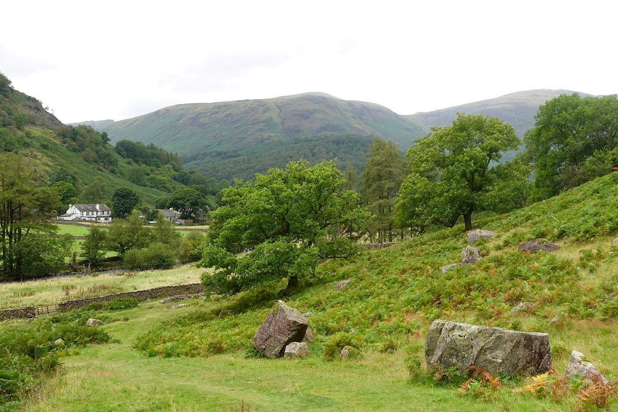
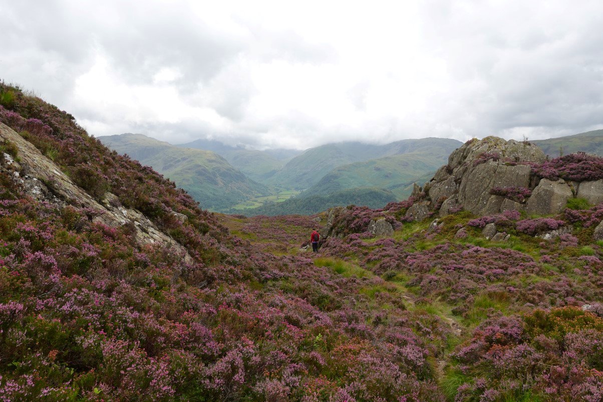
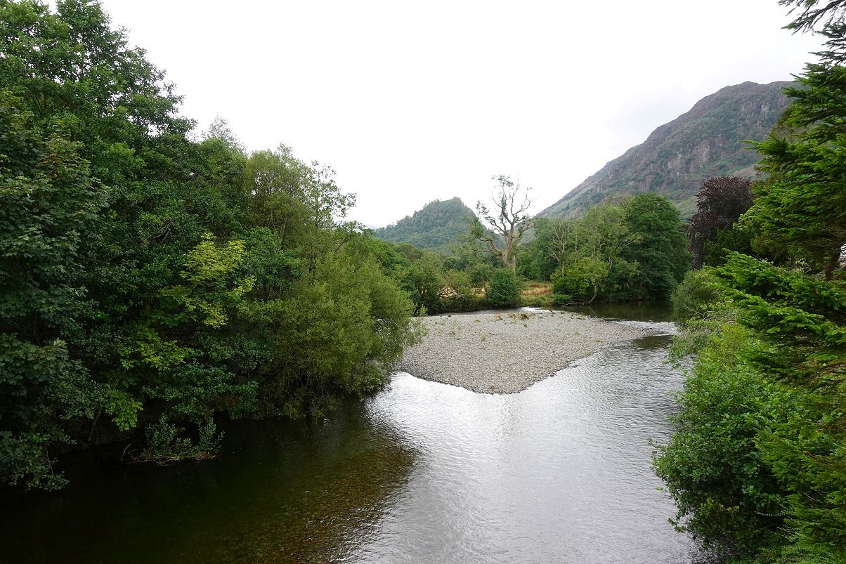
After parking near the school we made our way down the lane and across the bridge to pick up the path heading along the valley towards Greenup Edge. At the big sheepfold we turn left and head for the steep stone stair steps up Lingy End. This is looking back to High Scawdel with the top of Dale Head just visible.
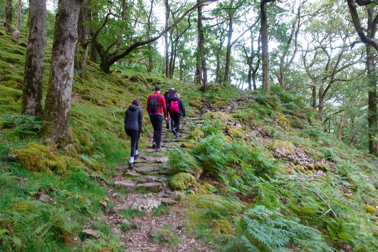
Starting up the steep steps.
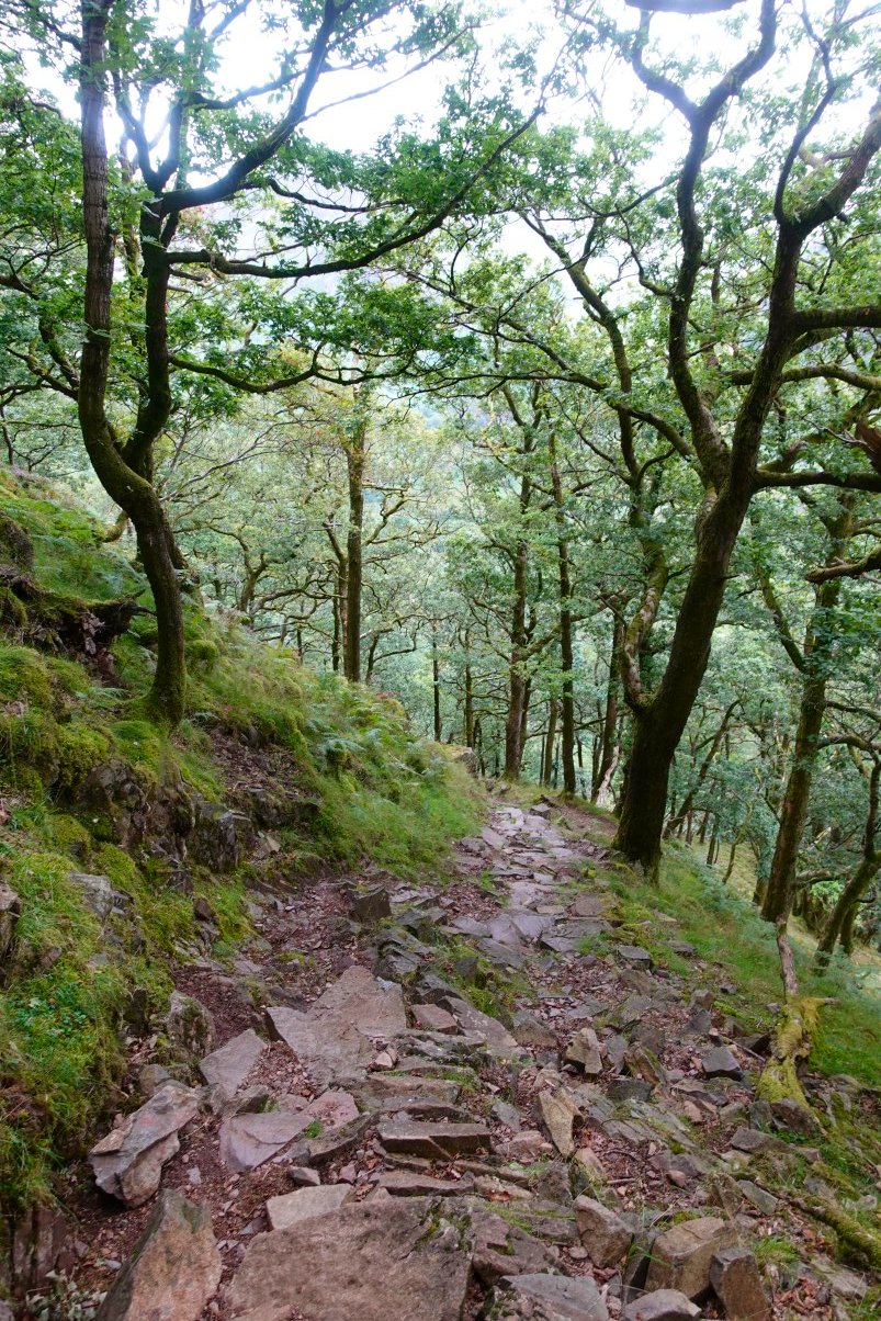
And looking back down.
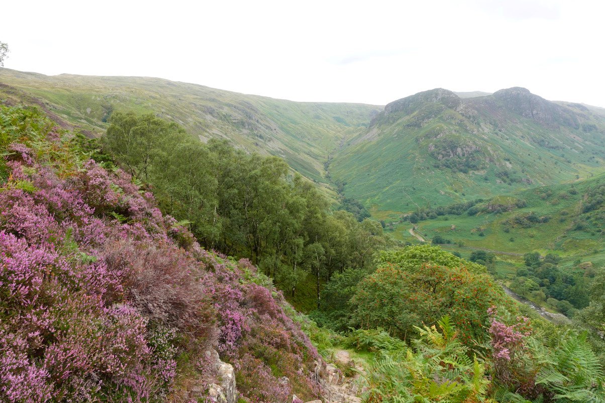
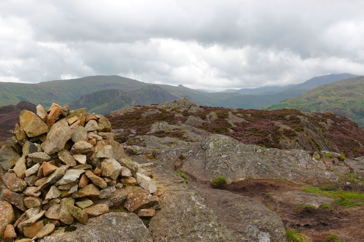
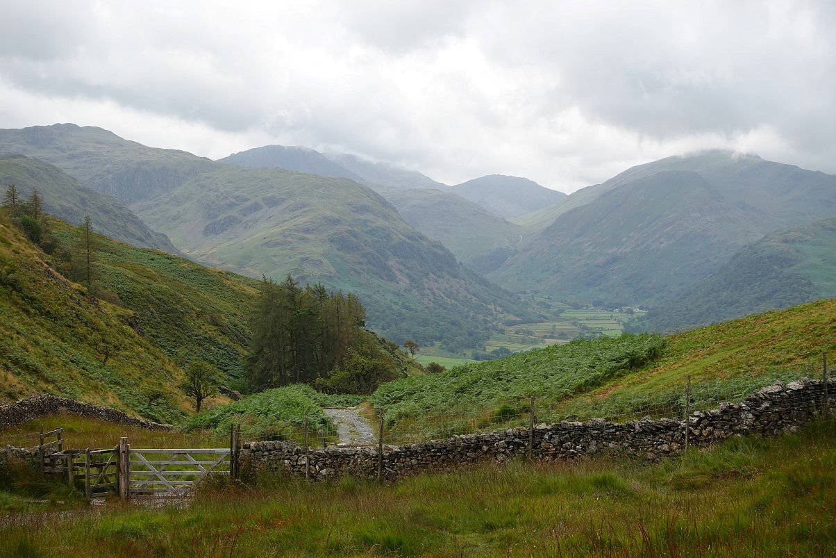
The steps end at a nice grassy area which is always a good place to get your breath back and from where there is a great view of Eagle Crag and Sergeant's Crag dividing Langstrath on the right from the Greenup valley on the left.
A sunny spot on the hillside below Grey Knotts with the sharp prow of Honister Crag to the right.
.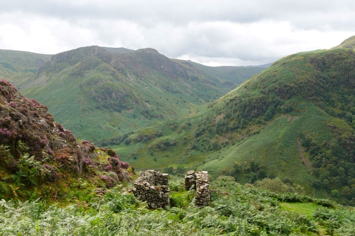
A look over the ruined hut to High Raise just visible in the gap between Eagle Crag and Sergeant's Crag.
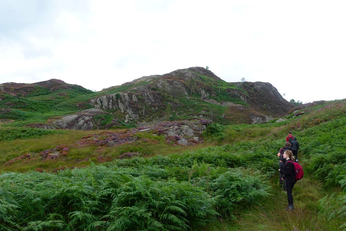
The path now winds delightfully between the heather covered hillsides heading for Dock Tarn.
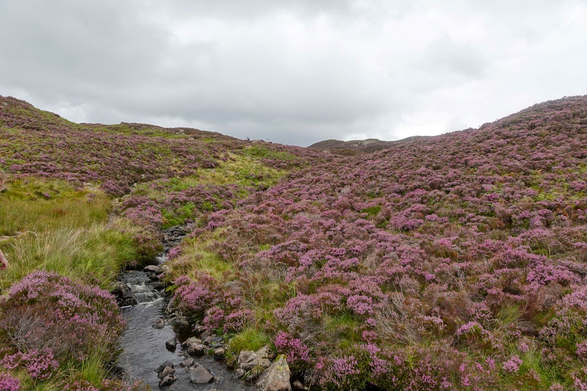
Willygrass Gill is the outflow from Dock Tarn.
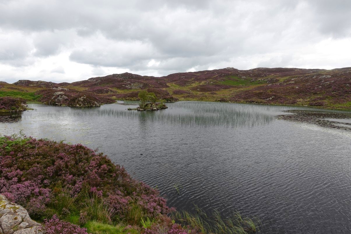
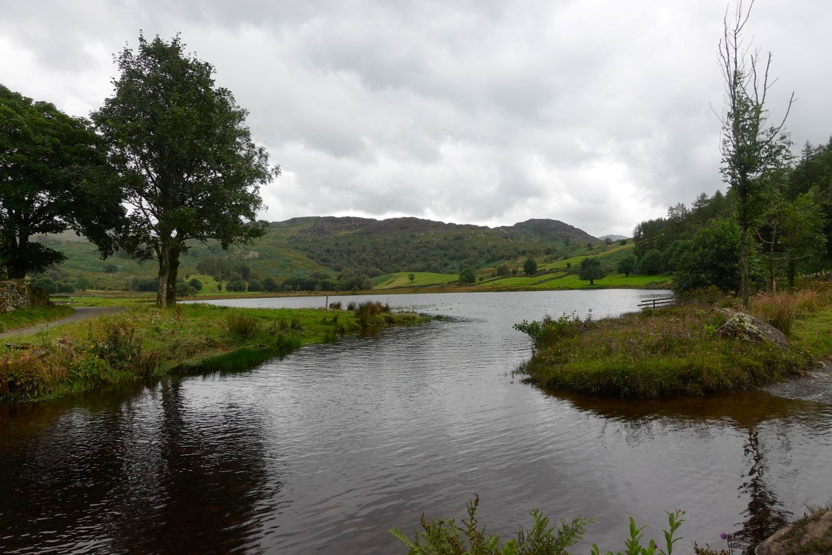
Dock Tarn.
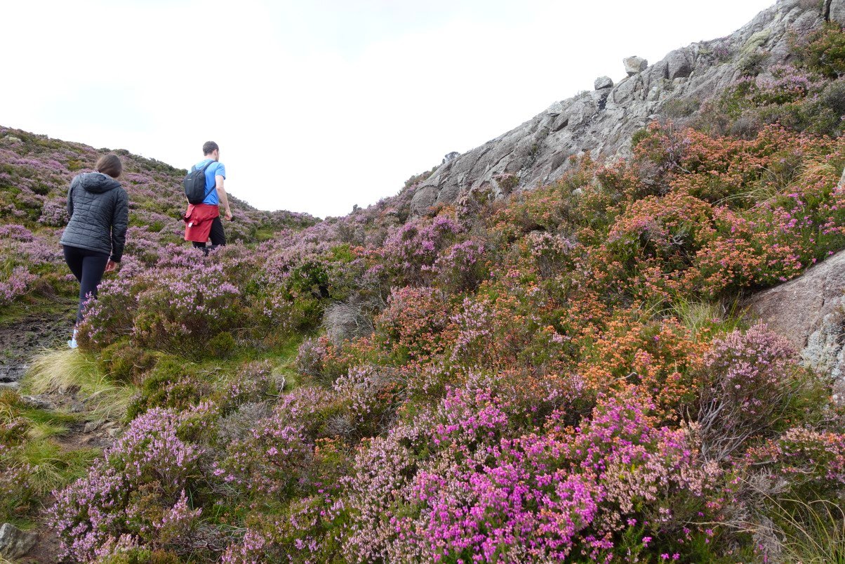
Lovely orange coloured heather by the path to Great Crag.
Looking over the north top of Great Crag to Skiddaw.
And looking over the south top to High Raise with Pike O' Stickle getting in the picture as well.
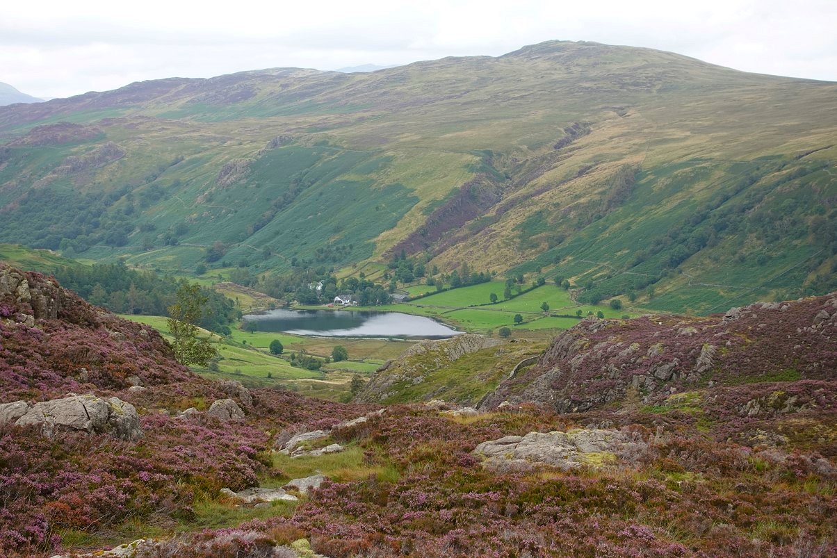
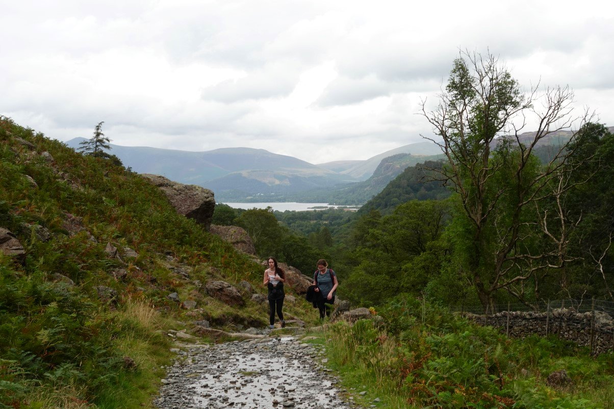
Our next stop was to be at Watendlath seen here on the path down from Great Crag.
After Watendlath we would be climbing back up to Grange Fell which the sunshine helpfully picked out as I was pointing across, showing the others where we were heading.
Nearing Watendlath now.
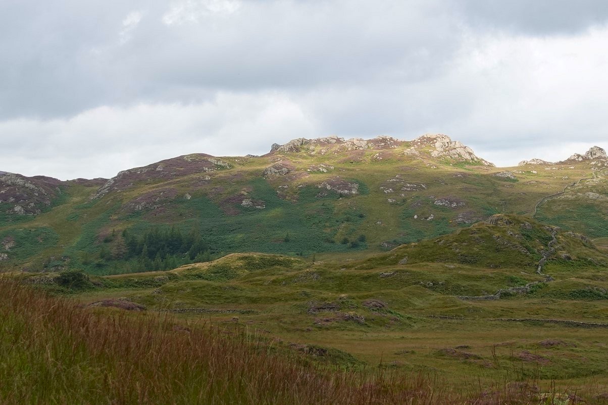
Great Crag on the right from Watendlath.
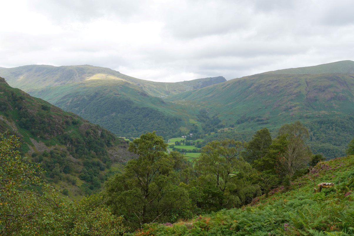
After a lovely brew and slice of homemade flapjack at the tea shop we climbed back up Puddingstone Bank. This is the view to the high fells from the place where you leave the main path to start the wet and boggy climb to Brund Fell. Lingmell is the fell in the centre back ground and to the left is Scafell Pike who's top never quite came out of the cloud. Great End is clear just above the shoulder of Rosthwaite Fell.
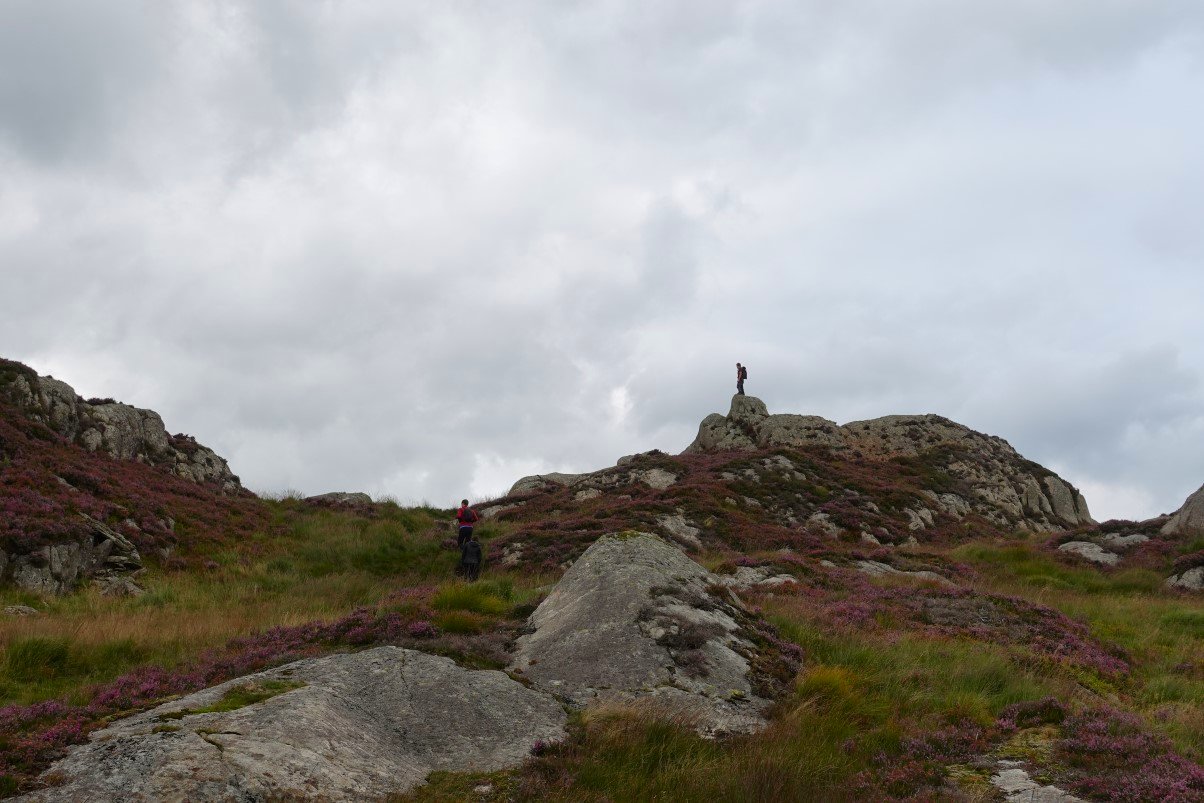
Rob wins the race to the top. Brund Fell is the highest point of Grange Fell. There are a couple of tops roughly the same height so we climbed them both.
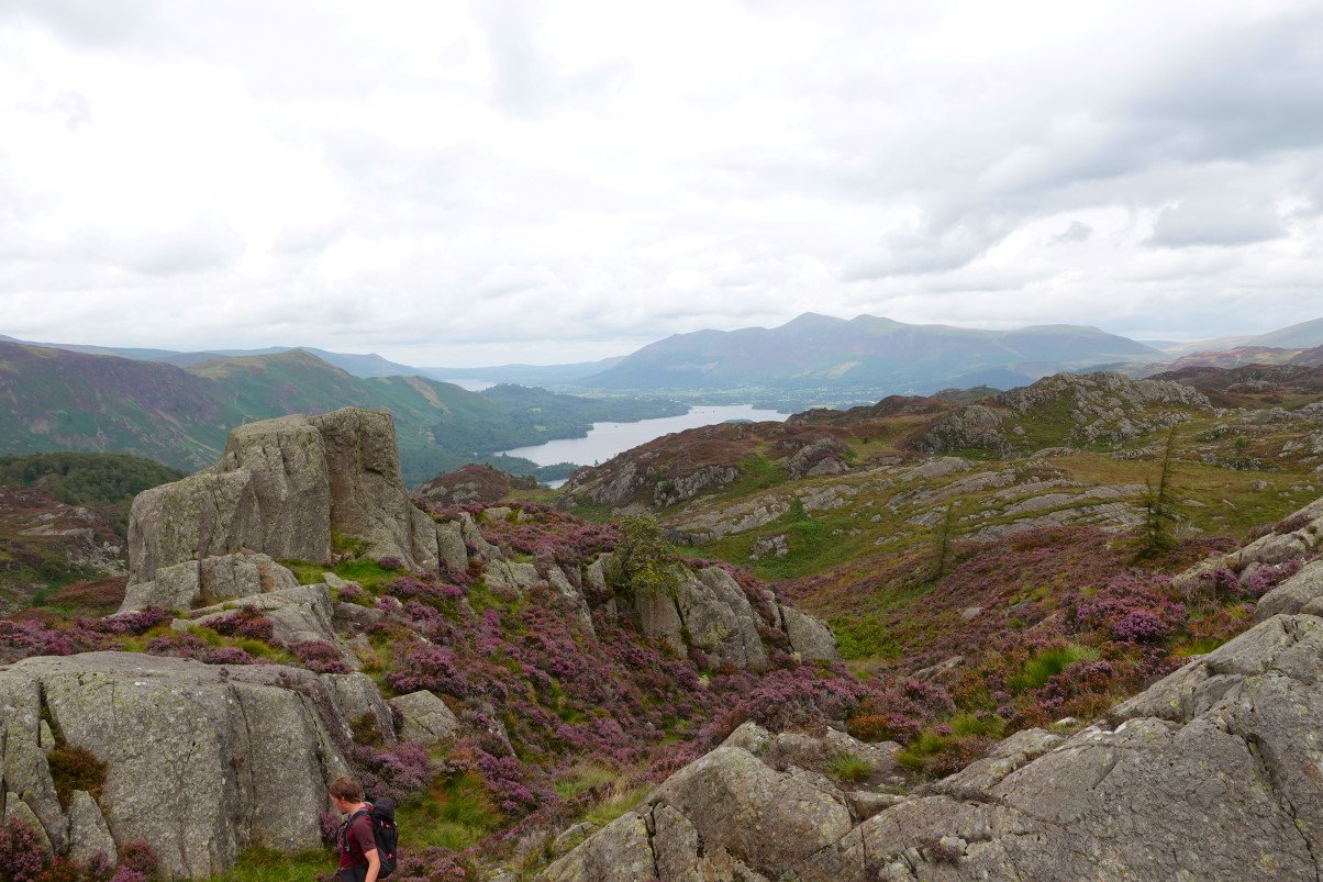
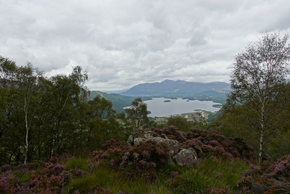
The classic view northwards over Derwentwater and Keswick to Skiddaw. Last time we came here I climbed the little tor on the left but today it was a bit too windy.
Another view along the Seathwaite valley from the path down towards King's How. The high fells are still covered.
King's How ahead. There is a path up the sloping ridge but we headed along under the fell across Long Moss to the steep end and climbed up from there.
Derwentwater and Skiddaw again from King's How.
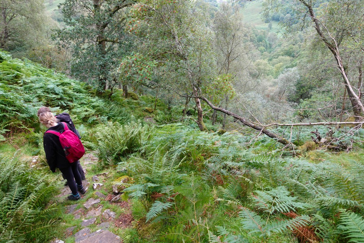
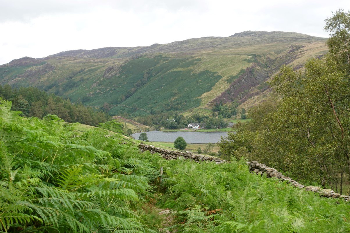
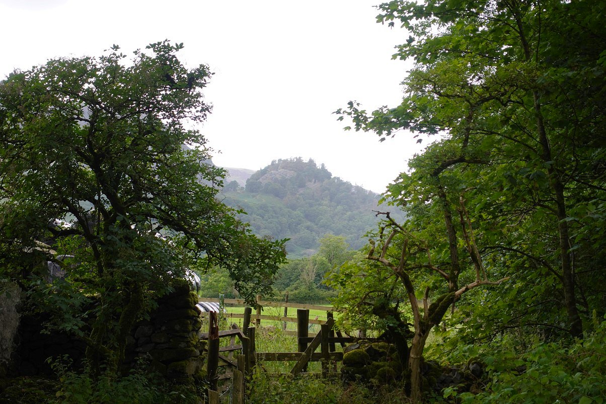
From King's How we dropped down back to the valley on the very steep and slippery path down Greatend Crag and followed the path through the trees to the road.
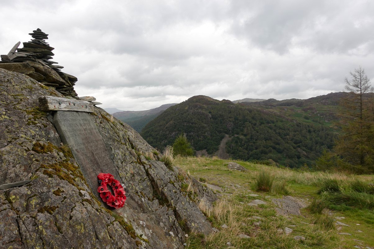
After a short road walk we reach the bridge over the Derwent at Grange. This is looking to Castle Crag our final climb for today.
Although the tops climbed today and the mileage is not excessive the heat and the constant up and downs had us all feeling the strain on the climb away from the river.
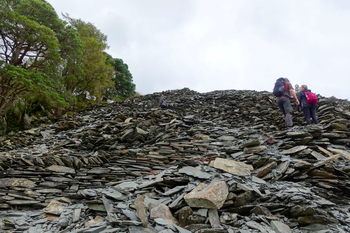
And climbing the slate path on Castle Crag was warm work.
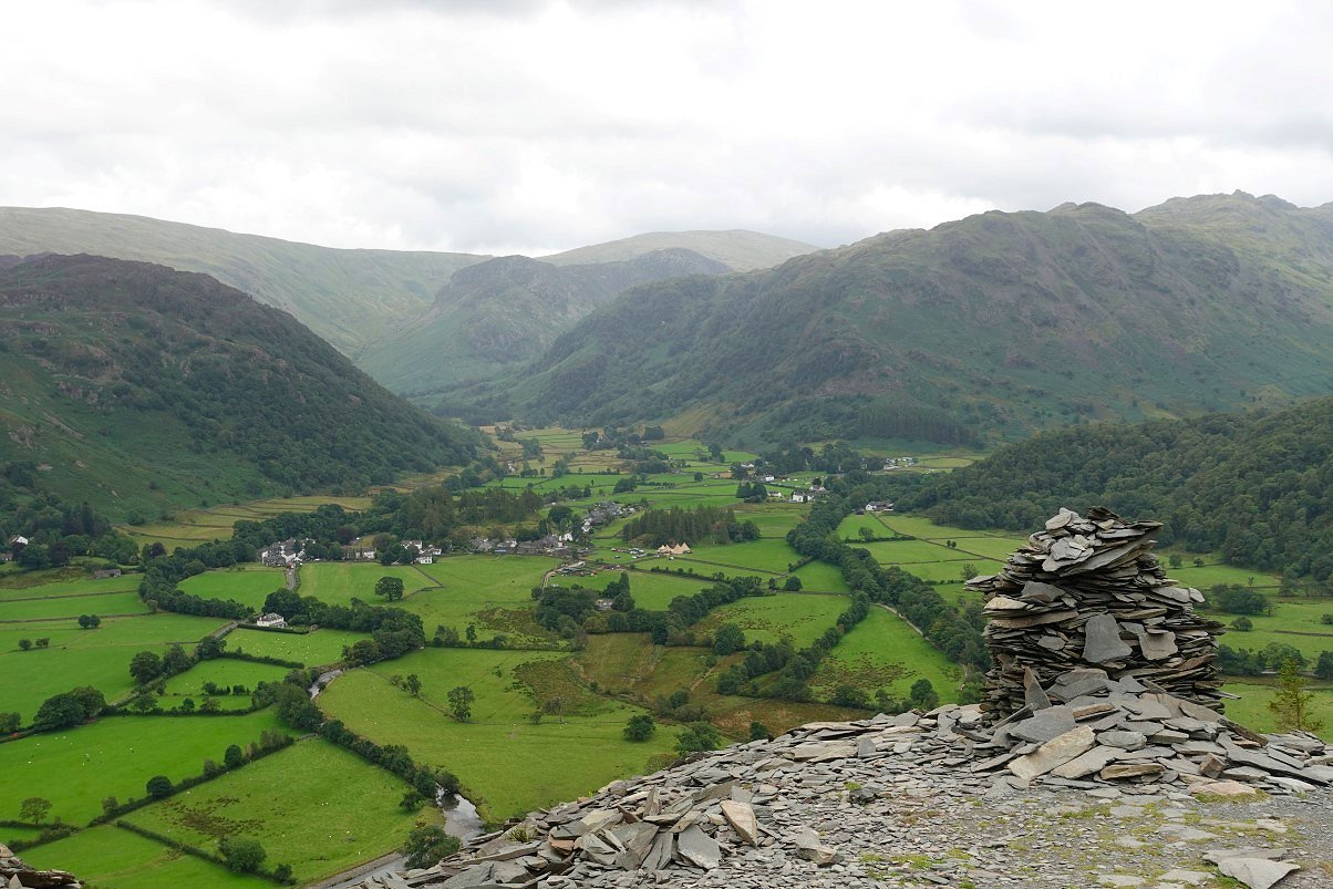
The view along Borrowdale from the top of the slate path.
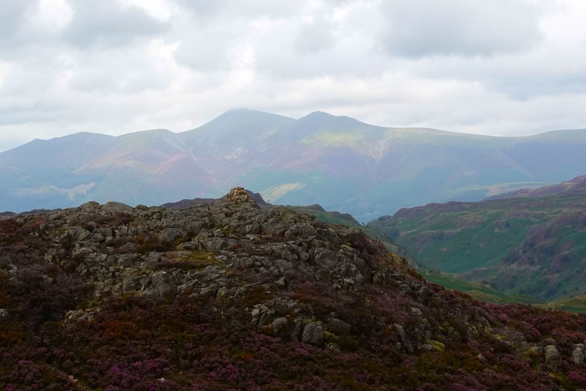
King's How across the valley from the top of Castle Crag.
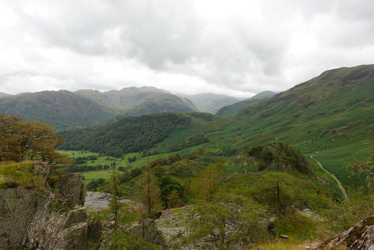
Those high fells never quite cleared today.
A final look back to Castle Crag from the path along by the river.
Previous walk - Eskdale wild camp - Next walk - Pike de Bield wildcamp