WWW.KARLSWALKS.CO.UK
PICTURES AND TRIP REPORTS FROM MY WALKS IN THE ENGLISH LAKE DISTRICT
|
|
|
|||||
|
|
|
|
|
|
|
|
E-mail - karl@karlswalks.co.uk |
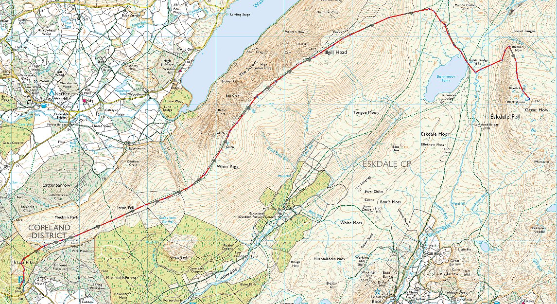
It was just after one when I pulled into the small car parking spaces below Irton Pike. Luckily there was just one space free, I think it's quite a popular place not just for people walking on the fells but for locals walking their dogs in Irton Park. I had a big route planned with two nights camping but as you'll see plans don't always turn out the way you thought they would.
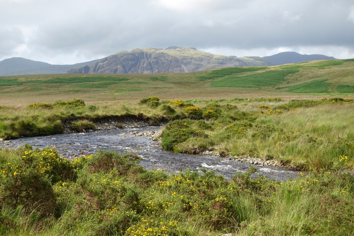
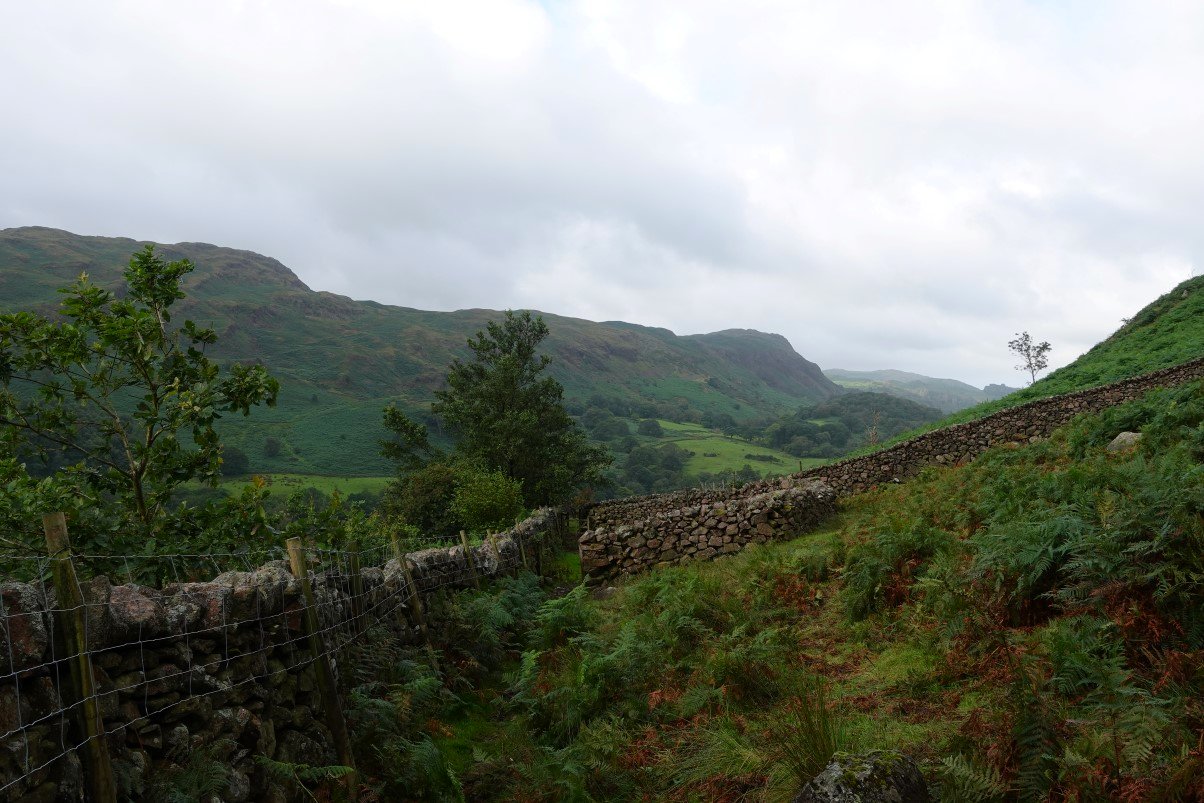
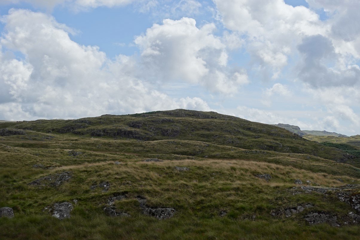
After saddling up I started on the path up along the side of Irton Pike. The weather as you can see was very nice for now but was changing every few minutes and I'd had light rain as I drove over Birker Fell.
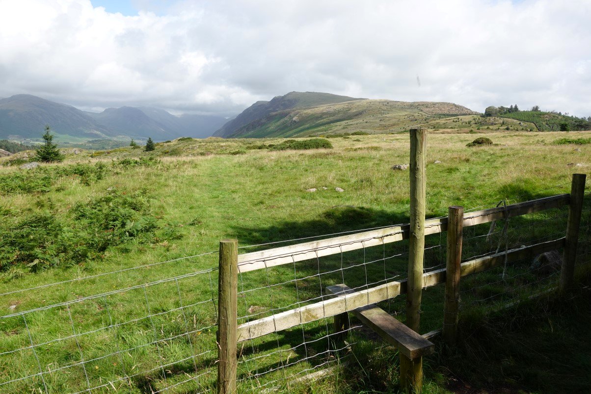
Still quite bright as I reach the open fell. Whin Rigg and Illgill Head look clear but the higher fells beyond are covered.
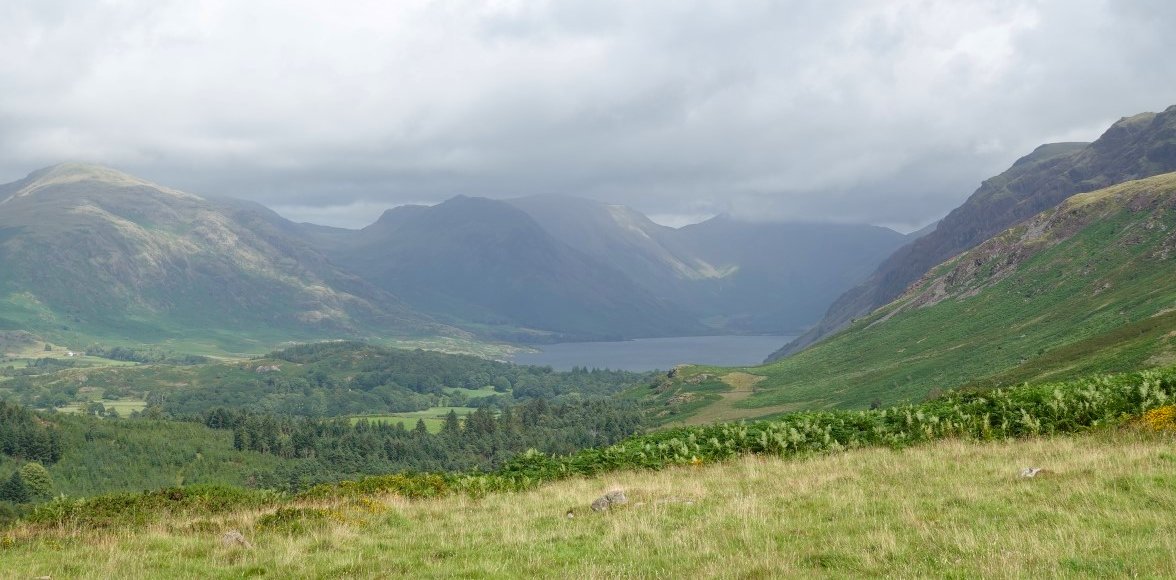
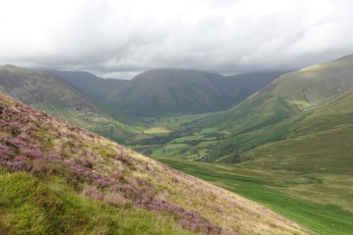
The first view of Wasdale and Wastwater which I greet with a 'nice to see you, can't tell you how much I've missed you'.
A look back to the bald top of Irton Pike.
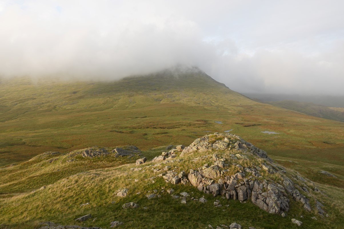
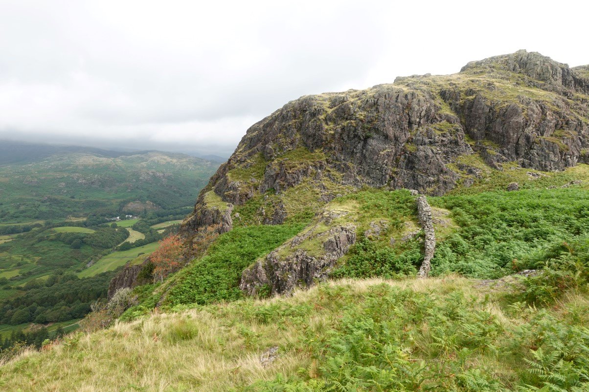
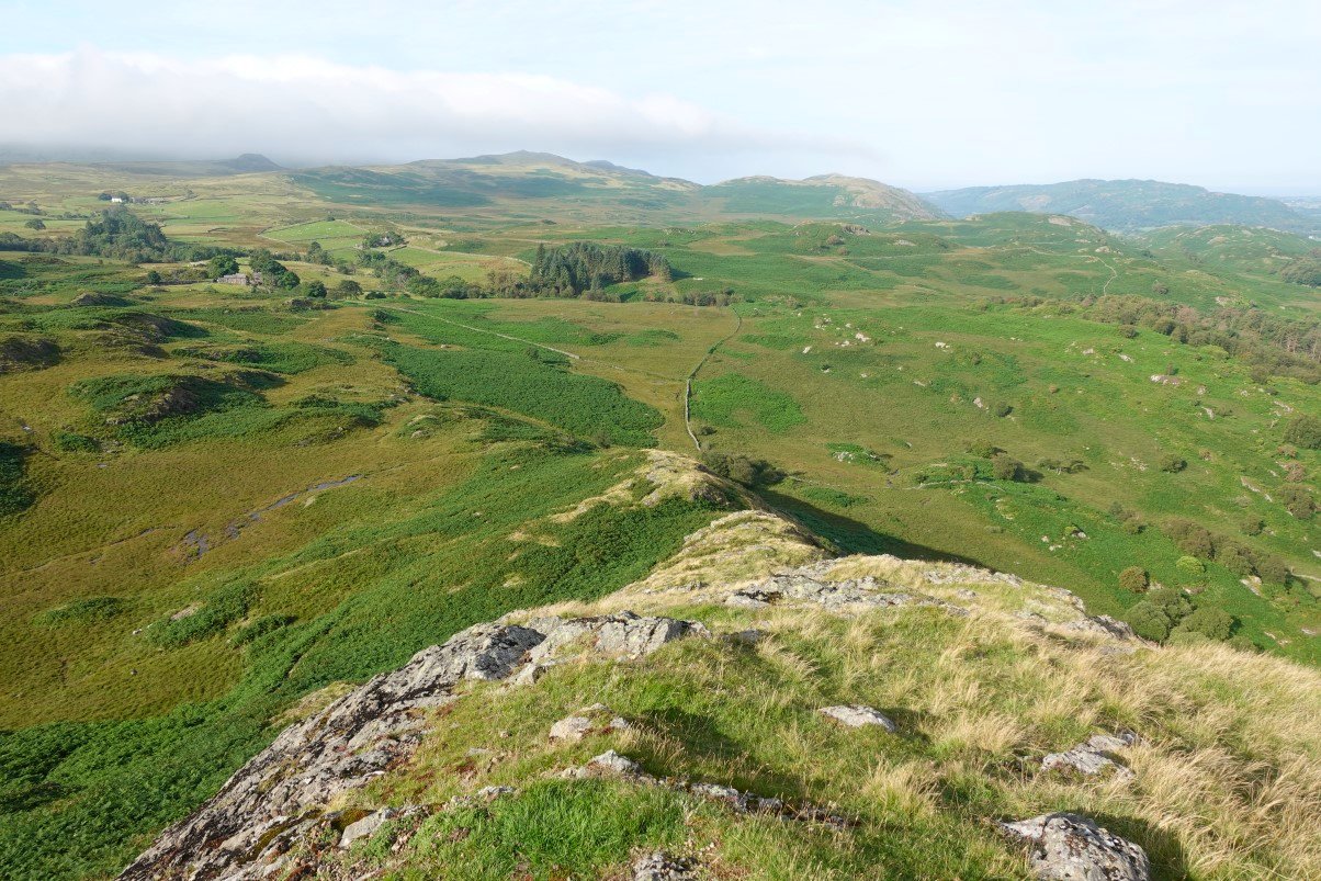
The plod over Irton Fell and the climb up the grassy slopes come and go and before long I'm at Whin Rigg. Looking down to Wastwater and Yewbarrow. As you can see the weather is having a dull spell.
.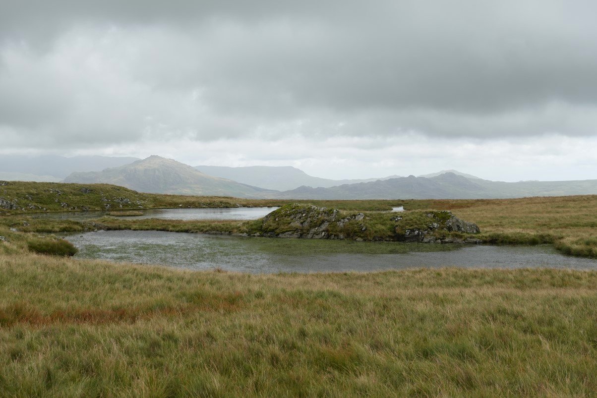
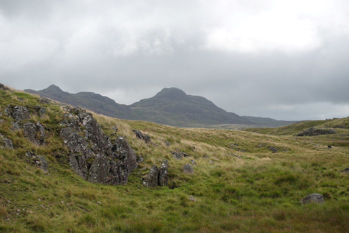
Passing the normally attractive tarns in the hollow between the two fells. I say normally because on a sunny day when they are lovely blue colour they are attractive, today they are little dull, especially as they seem to be infested with weed. Harter Fell is catching the sun, whilst the Crook Crag/Green Crag group are in shadow. White Pike is the top in the centre background.
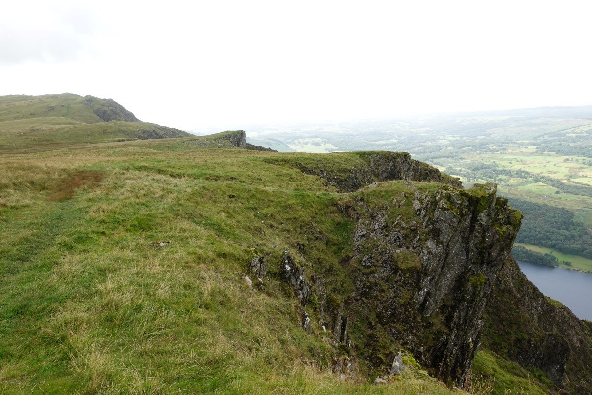
As I'd left the shelter of the trees it became quite a bit windier so I'm not going out onto the exposed pinnacles above the screes today.
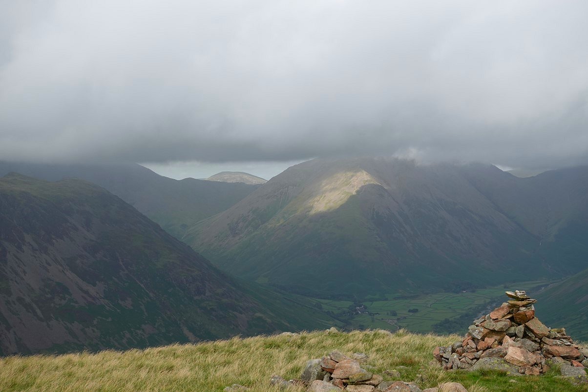
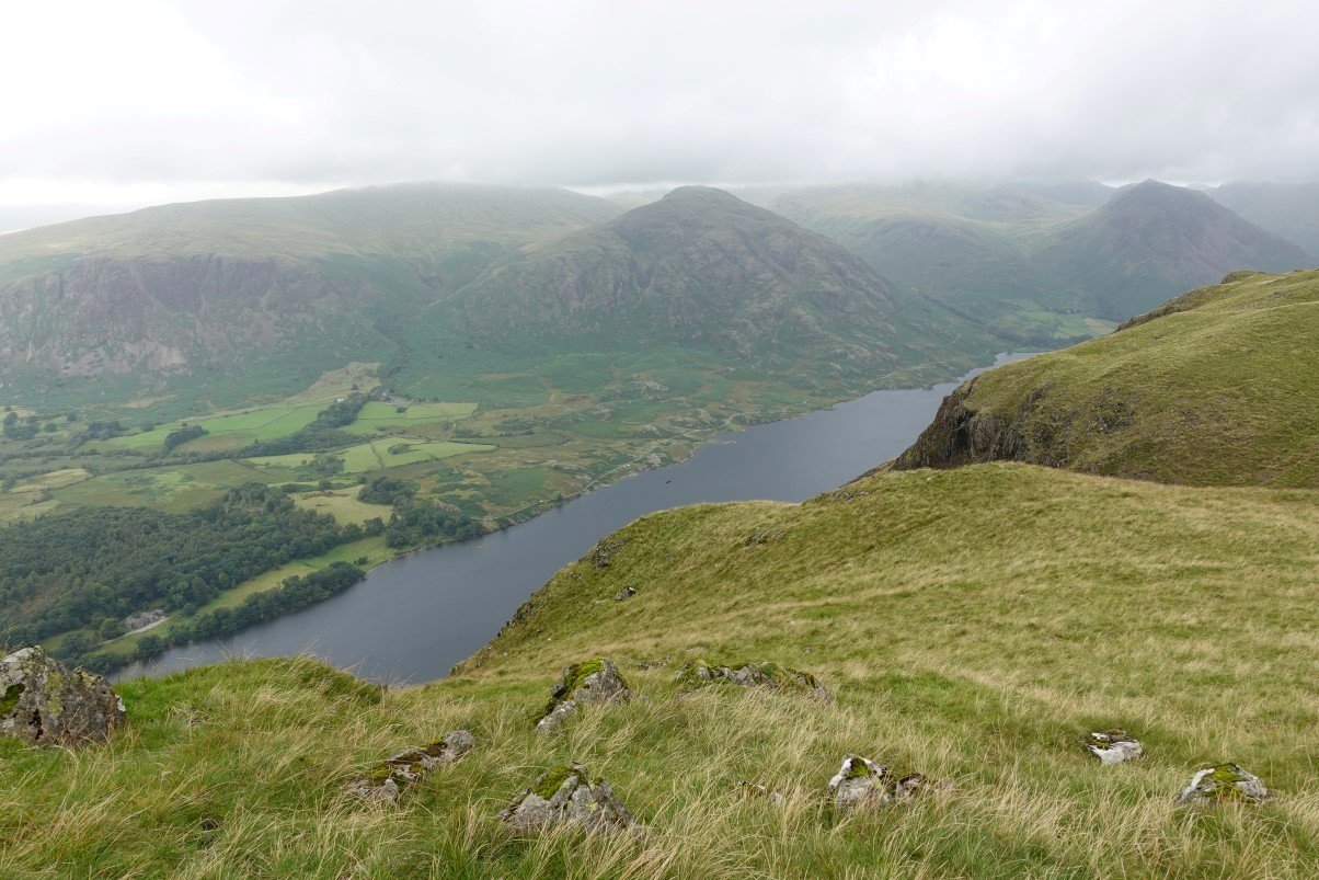
On to Illgill Head. A bright spot on Kirkfell but it's very dark over Wasdale. High Crag above Buttermere popping up above the Black Sail Pass looks clear
It's a bit brighter as I descend the steep slope of Illgill Head, Burnmoor Tarn below and above that to the left Great How my camp site for tonight.
Looking in the other direction to Wasdale Head.
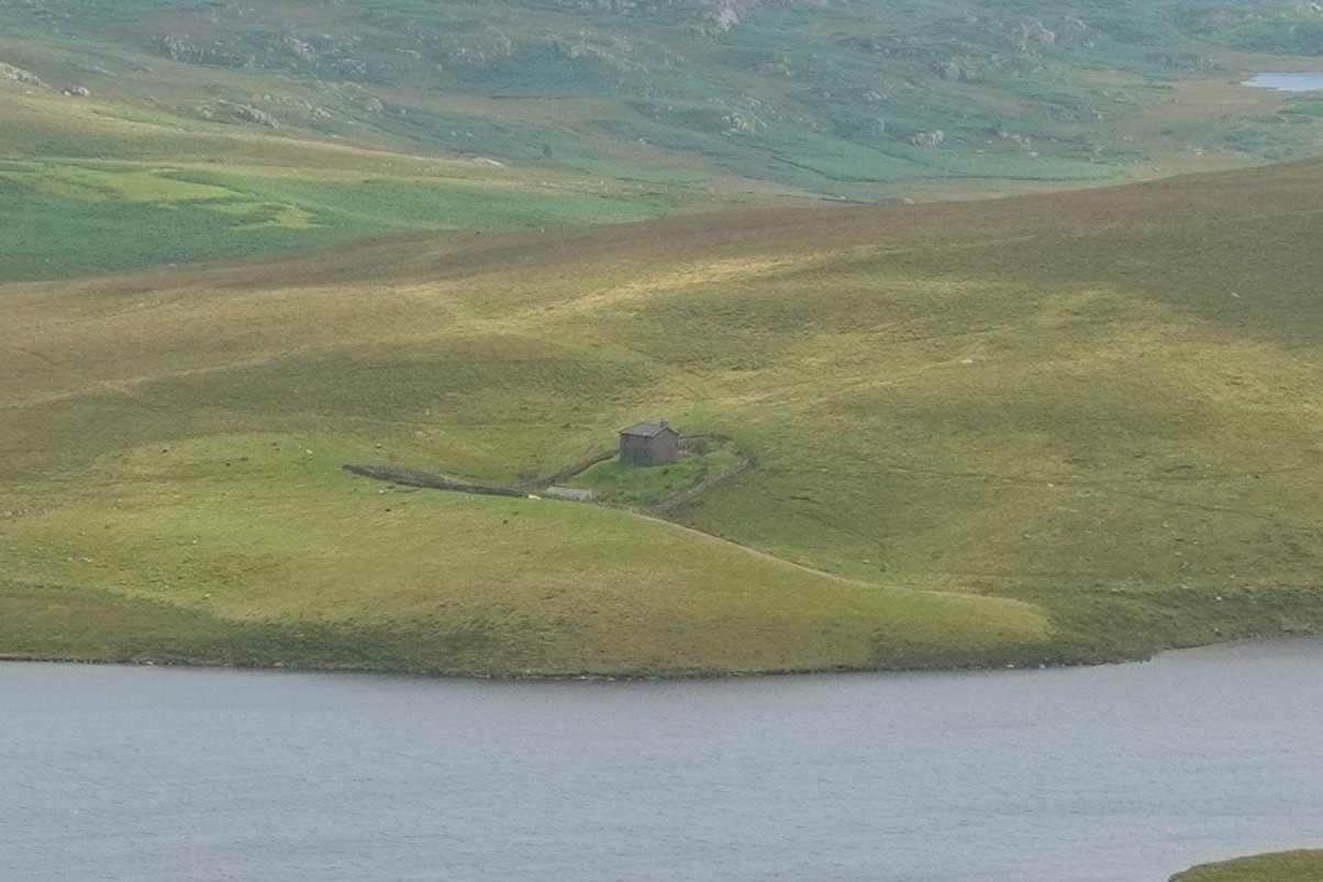
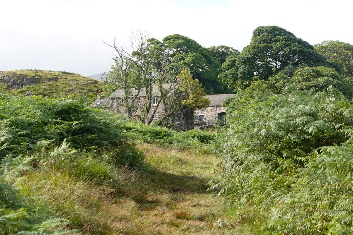
Zooming in on Burnmoor Lodge. At various times I've heard it's a religious retreat, a fishing lodge and a holiday home so I'm not sure what ( if anything ) it's being used for now
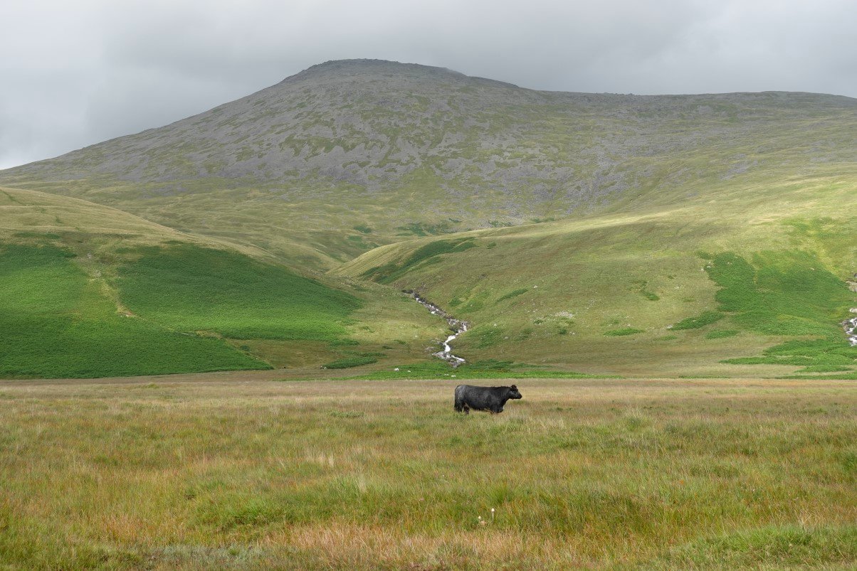
Free roaming local doesn't seem impressed with England's second highest mountain.
It's lovely again now looking along Burnmoor Tarn. The ground around here is not so lovely it's basically just one enormous bog.
I was too lazy to walk down to the footbridge over Whillan Beck and as my feet couldn't get any wetter than they were I carefully paddled across.
After the stiff climb up by Oliver Beck and the drag uphill over Bleaberry How I'm at my campsite for tonight
Scafell and Slight Side both beautifully clear. These were to be my first two fells tomorrow morning
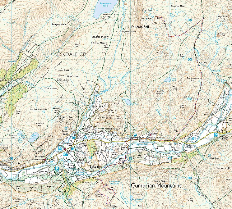
Later in the evening I had a walk to the top of Great How.
In the short time it took me to climb to the summit rocks Slight Side has been covered again. I was also interested to see if I could see a path around the worst of the Quagrigg Moss and although it's hard to see in the photo there was quite a clear one skirting around to join the main path to Slight Side.
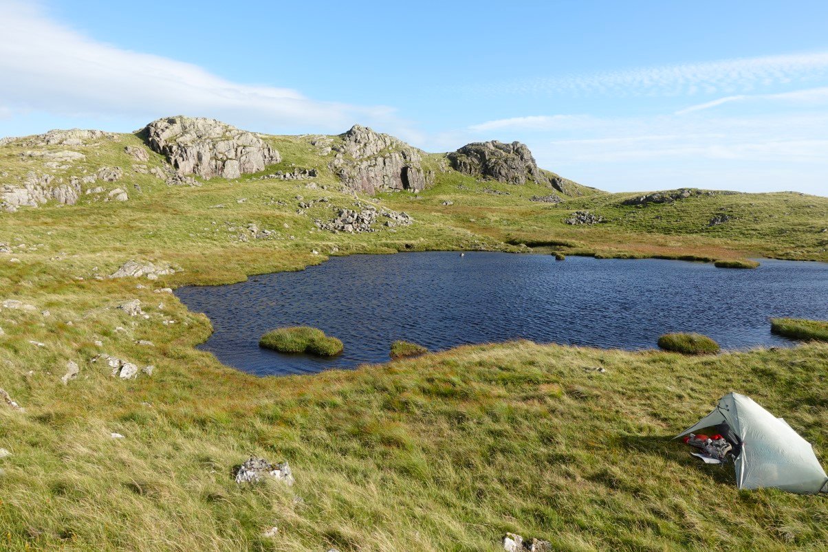
Fourth time I've camped here so it's fair to say that I like it.
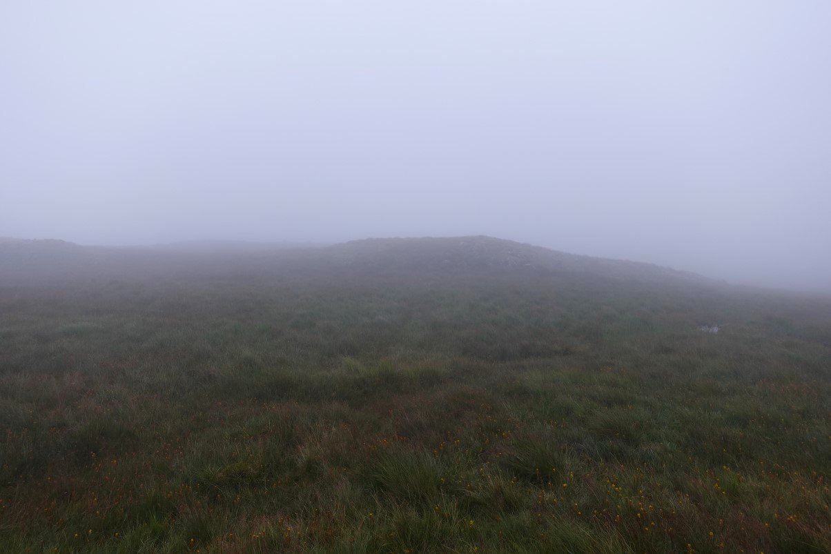
What I didn't like so much was the scene that greeted me when I opened the tent door in the morning It started raining just after I took this photo so I had to do the 'get everything into the rucksack inside the tent contortions' And after packing the wet tent away I set off into the mist.
By either good navigation or more likely good luck I found the path which skirted the moss ( but was still very wet ) and I came to the junction with the path heading up to Slight Side. At the junction there is a handy rock just at seat height so I had a sit which turned out to be a fateful mistake as far as my plans for the weekend were concerned
. I looked up in the rain and the clag at the path disappearing into the gloom and I suddenly just couldn't be bothered, my get up and go had got up and gone, it wasn't anything physical, I felt fine it's just that I thought 'did I really need to see Slight Side in the mist? ' . I counted up in my head that I'd been on Slight Side seven times so it's not like I needed to desperately bag it, and I also knew that it would mean the end of my big plans to go over the Scafell's, down the Corridor Route over Gable and Kirk Fell then camping at the Black Sail Pass before coming down over Red Pike to Yewbarrow on the way back to my car. So instead of turning left uphill I turned right downhill and wondered what I was going to do next.
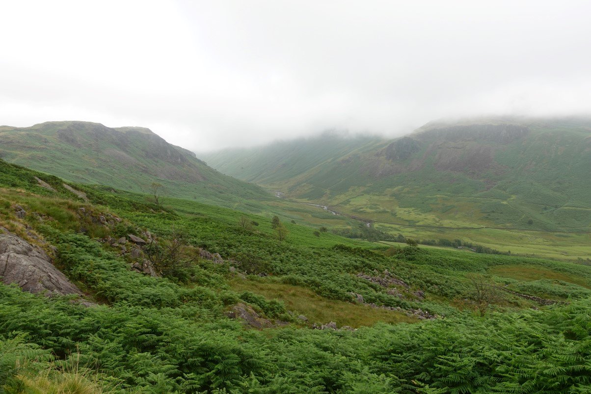
I had time to think as it's a bit of a drag down the sodden hillside where the path comes and goes and I was glad when I finally came out of the cloud and had a view up the valley of the Esk.
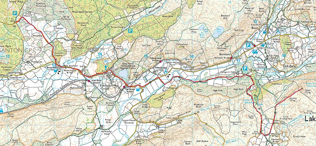
And as a bonus it had stopped raining. Here I'm just reaching the sheep pens above Wha House and I had the brilliant idea of calling into the Woolpack for second breakfast and weigh up my options.
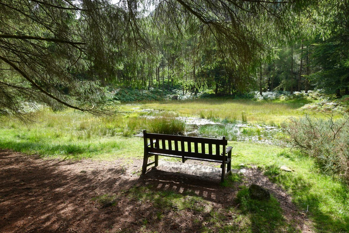
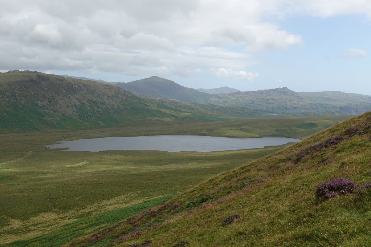
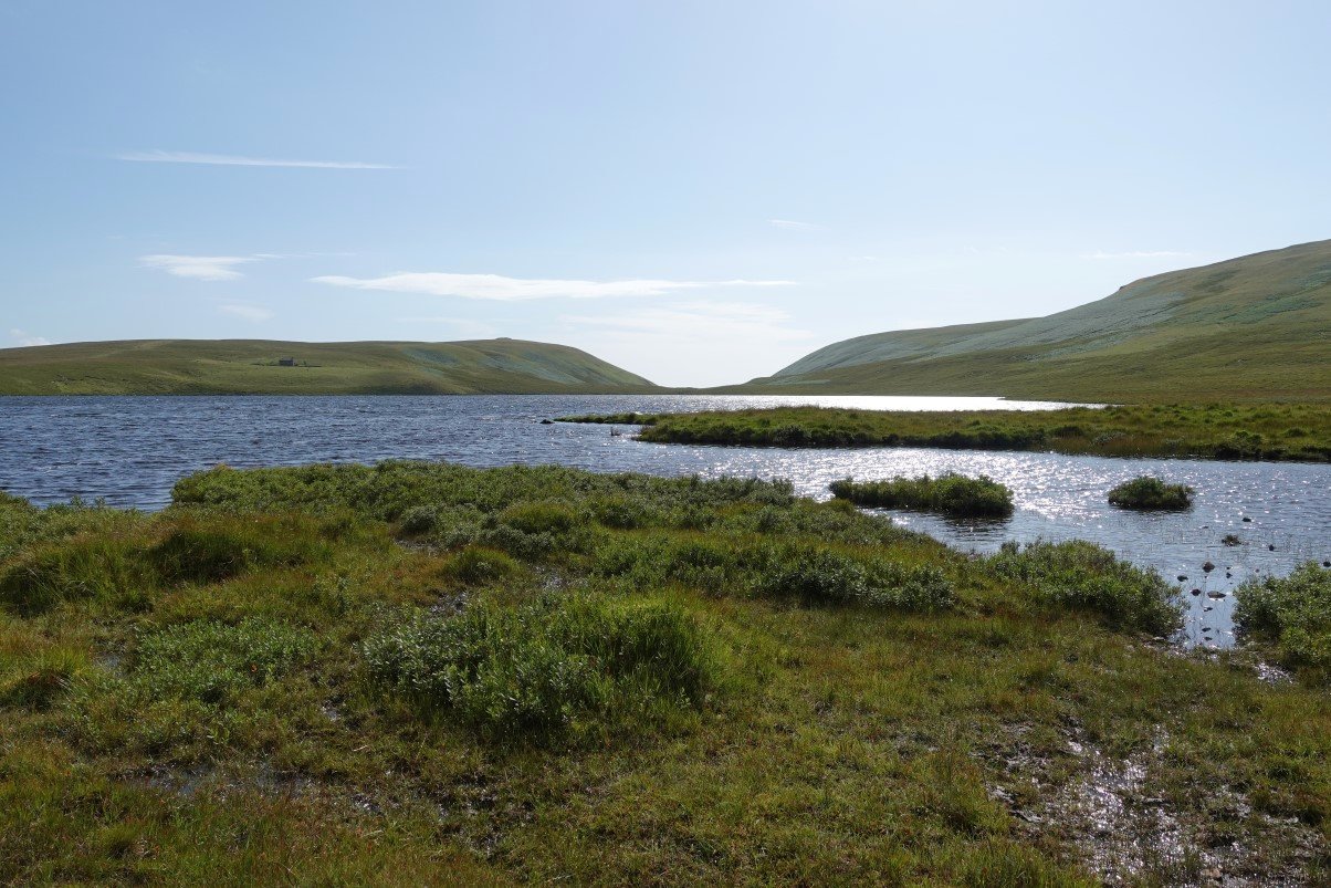
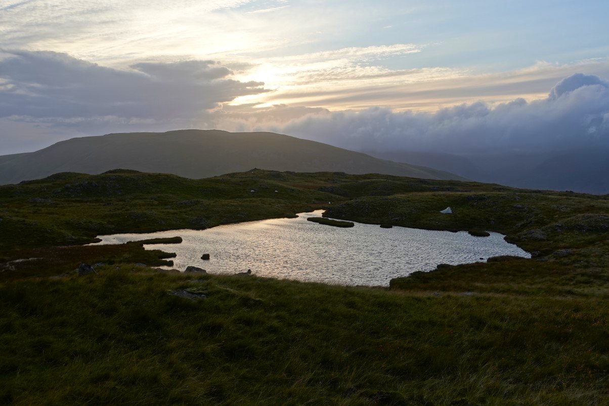
After an excellent full English I decided that as the day was improving I wouldn't go home but would climb up to the modest fells on the other side of the valley where I camped with Grandson Louis. As it was still early and It's not very far I took it very easy and I must have sat on the bench by the tarn next to the path for nearly an hour. This little tarn ( which unfortunately is being allowed to silt up ) isn't named on the map, I've heard it called Tim's Tarn but I just usually call it 'that lovely tarn by the path in Eskdale'
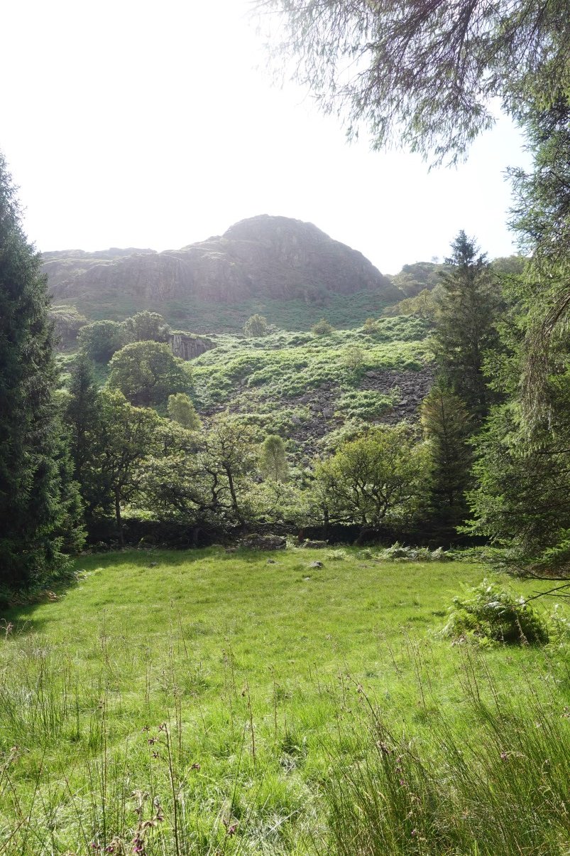
Looking up to Gate Crag where I hope to camp.
Just beyond the tarn a path heads off through the trees, climbing the hillside. My campsite from last night is directly above the tallest tree. I got some perverse satisfaction seeing the high fells still clagged in ( sorry to anyone who may have been climbing them )
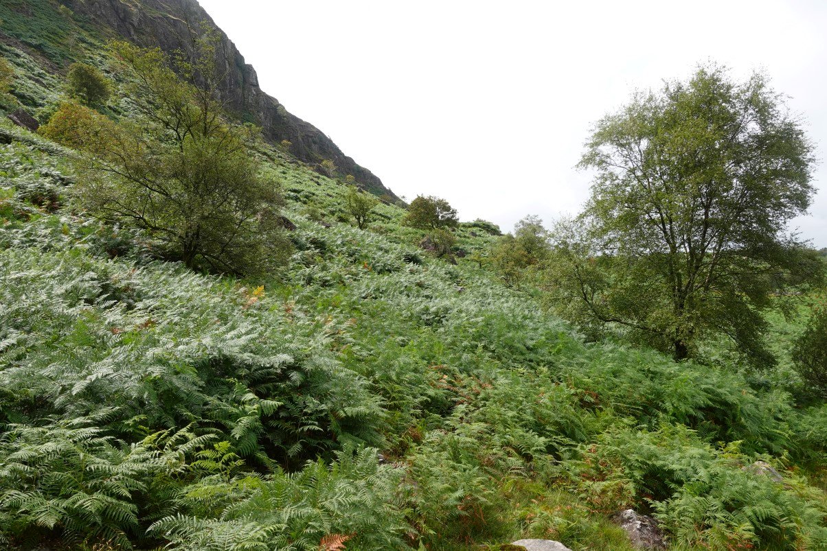
The path was quite easy to follow until it crossed a wall then disappeared into the head high bracken. I just couldn't see any trace of it so as I didn't fancy hacking my way through the jungle I looked for an alternative.
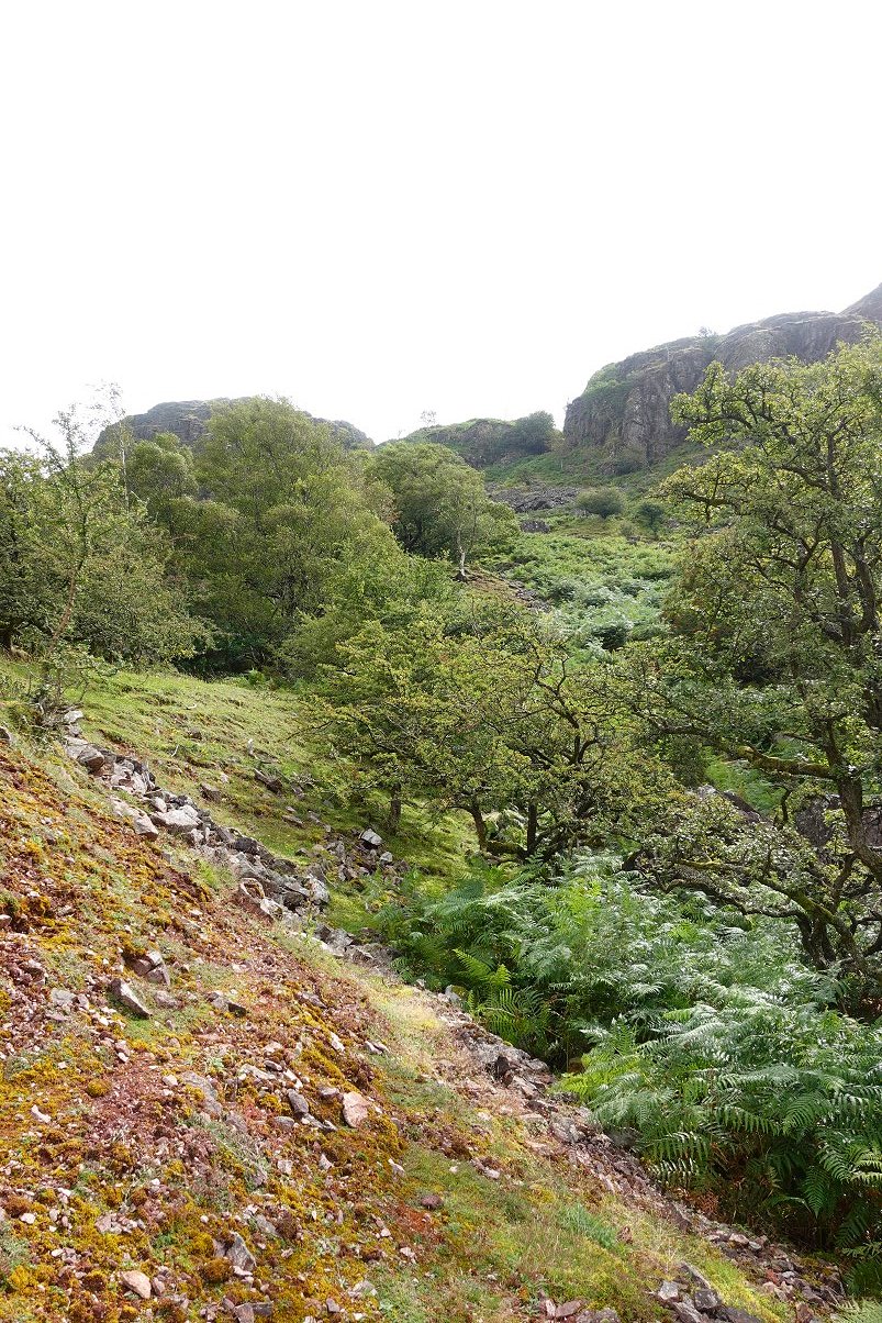
And luckily I spotted a break in the crags which looked climbable so I set off to investigate.
Although there were still patches of bracken to cross at this slightly higher elevation it was only knee high and you can also see that it's starting to die off ( thank goodness ) The cleft did look do-able so I carried on.
Looking back down from the cleft.
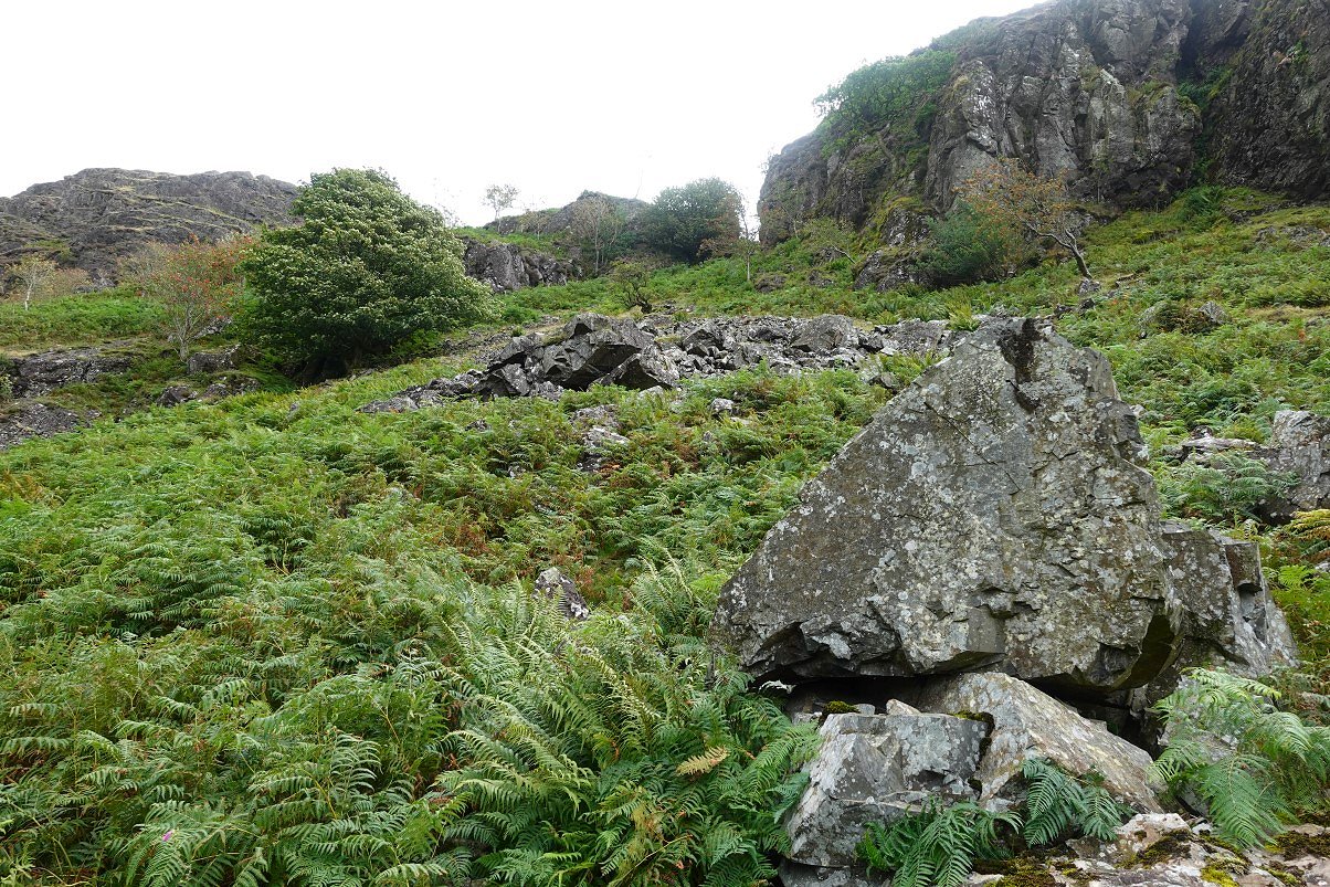
It was a bit wet near the top and I had to climb over the wall you can see but I got up without much bother. The cleft is between Hartley Crag and Gate Crag. I walked onto Hartley Crag to see if I could spot our campsite from 2021.
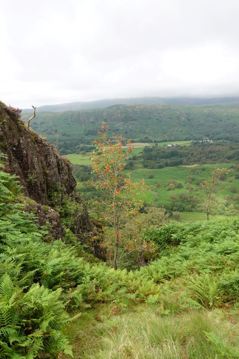
I did find it and remembered that there was another comfortable seat shaped rock where I got out the stove and had a brew whilst looking over to Crook Crag and Green Crag.
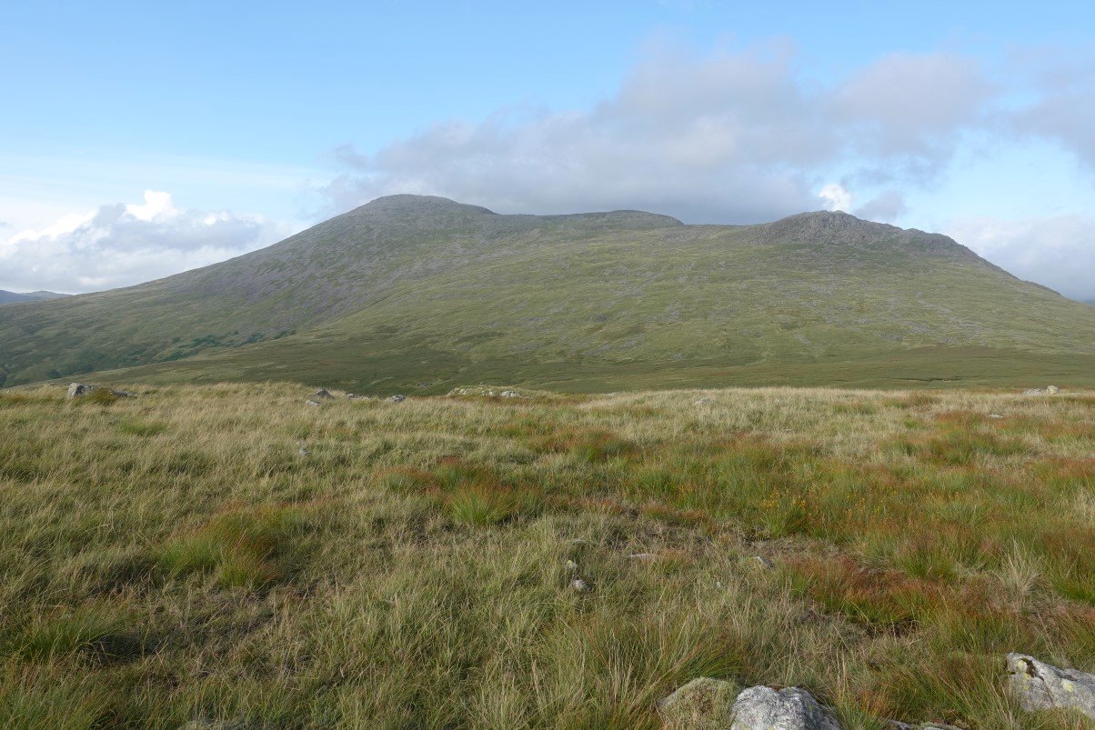
Just like yesterday the weather was sunshine and cloud. The high fells are now mostly clear just a bit of cloud on Scafell.
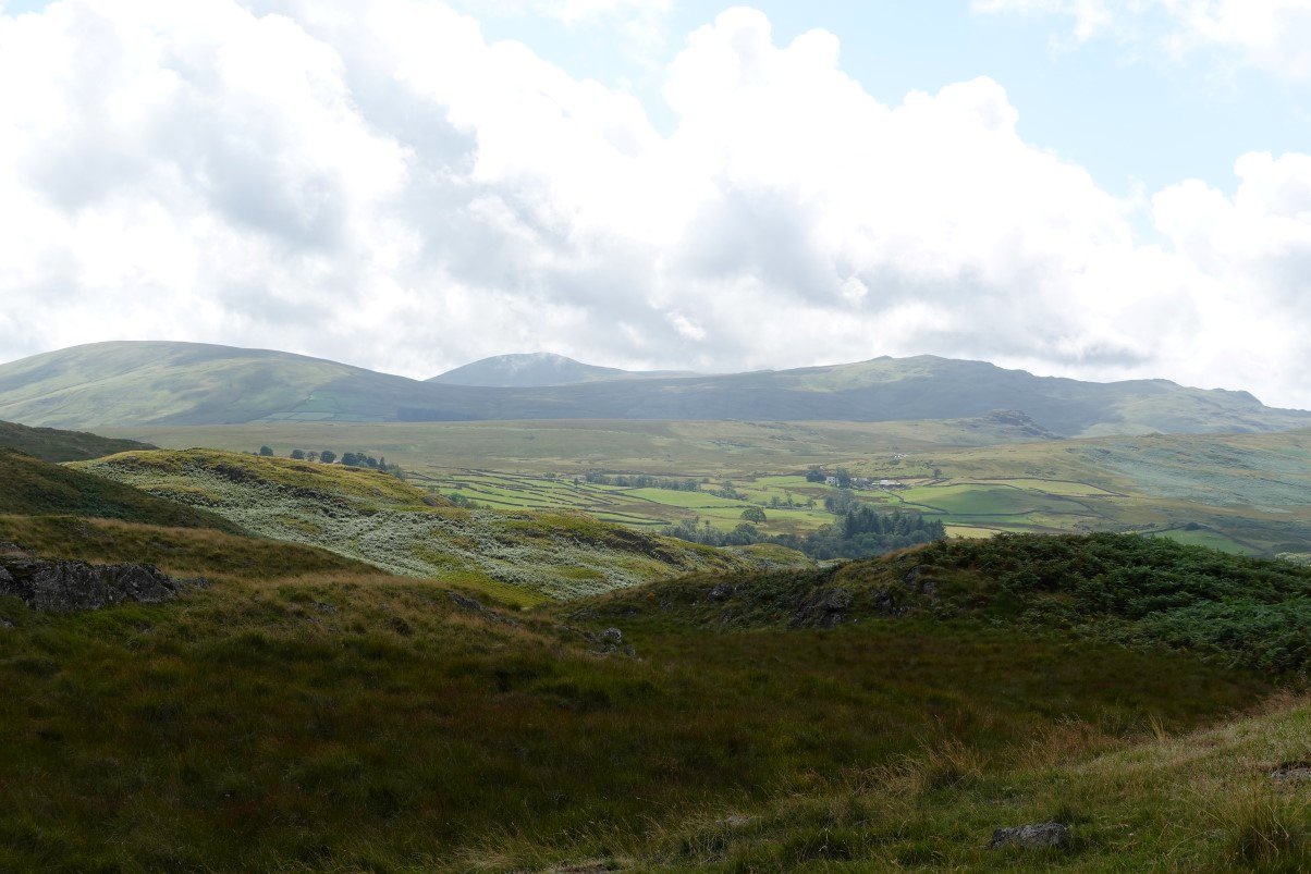
Lovely view over to the Stainton fells. The big dome of Hesk Fell is on the left, Whitfell is in the centre background. Stainton Fell, Yoadcastle and Woodend Height are to the right.
As it was far to early to put the tent up I had a walk over to Great Arming How. I needed to find some water as well and the map showed a stream over in that direction.
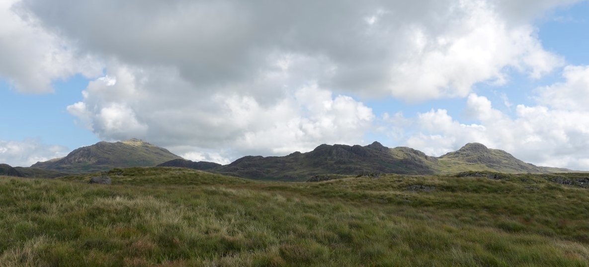
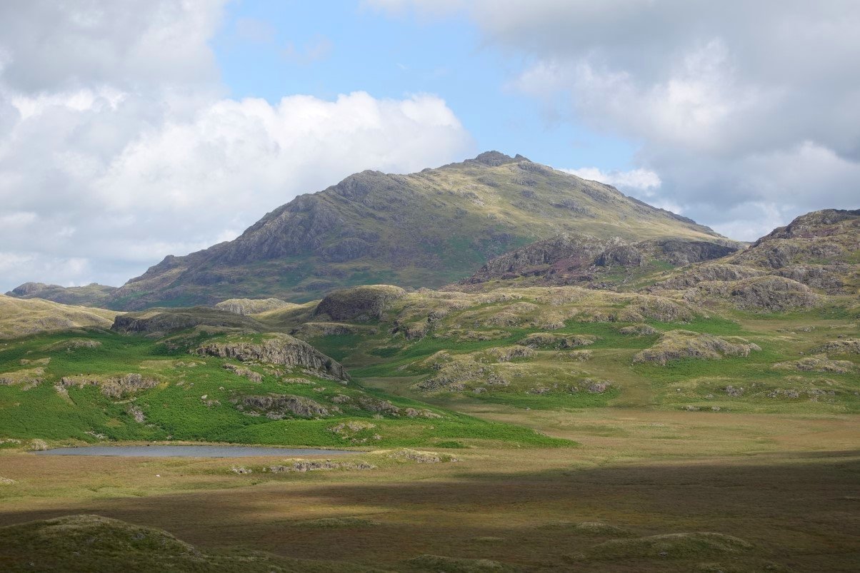
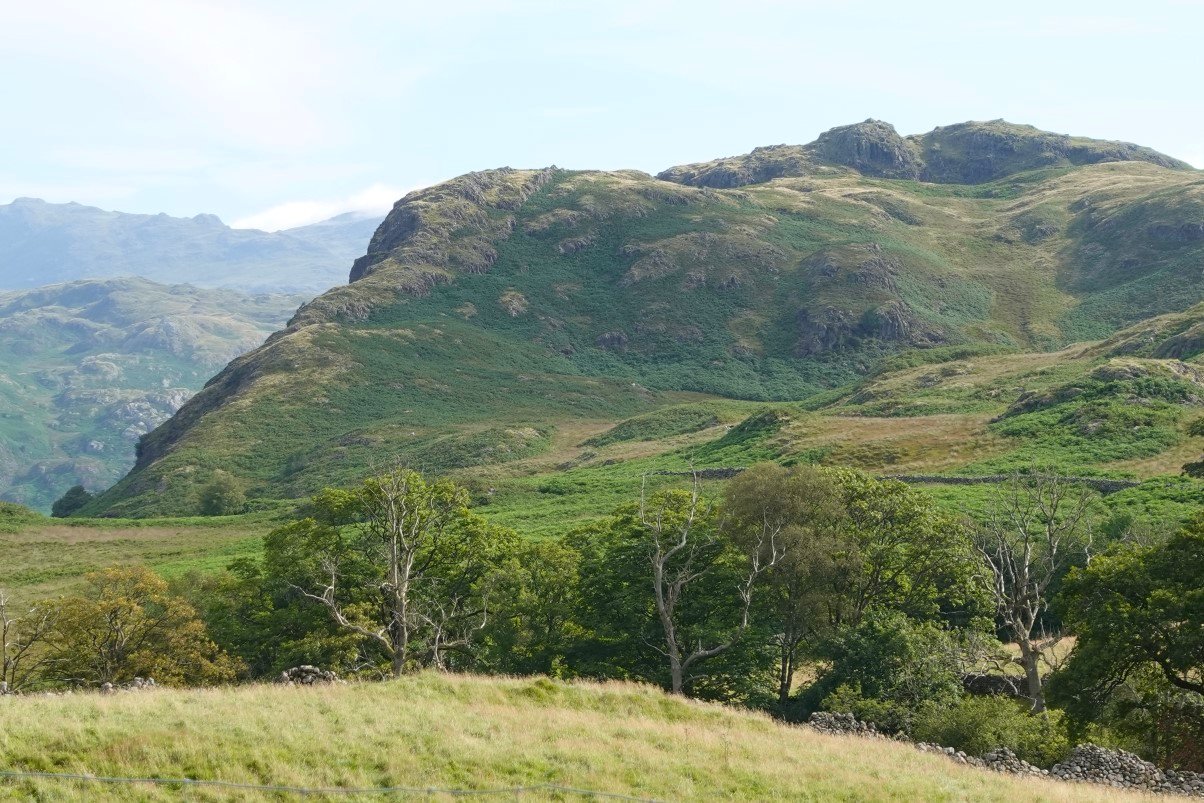
Nice view of Harter Fell with the full range of the Green Crag group from Kepple Crag to Great Whinscale, Crook Crag and Green Crag itself.
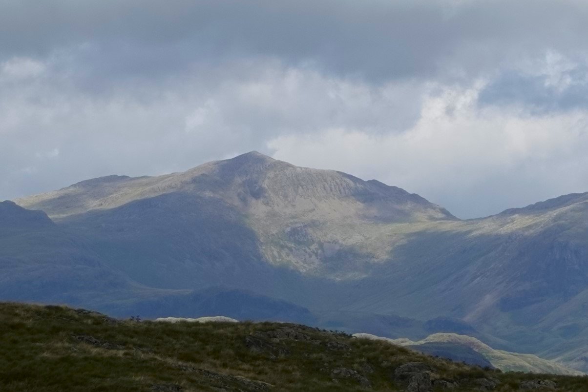
Zooming into Bowfell catching the sun.
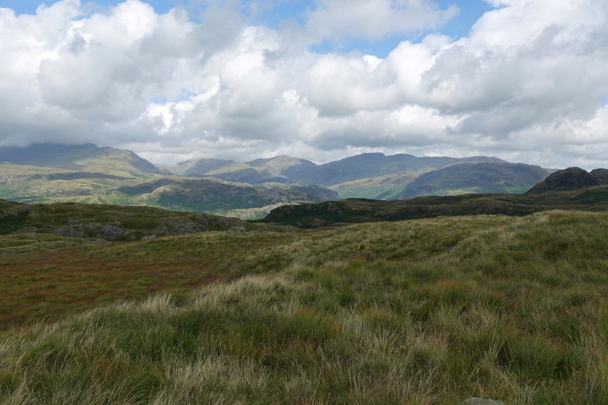
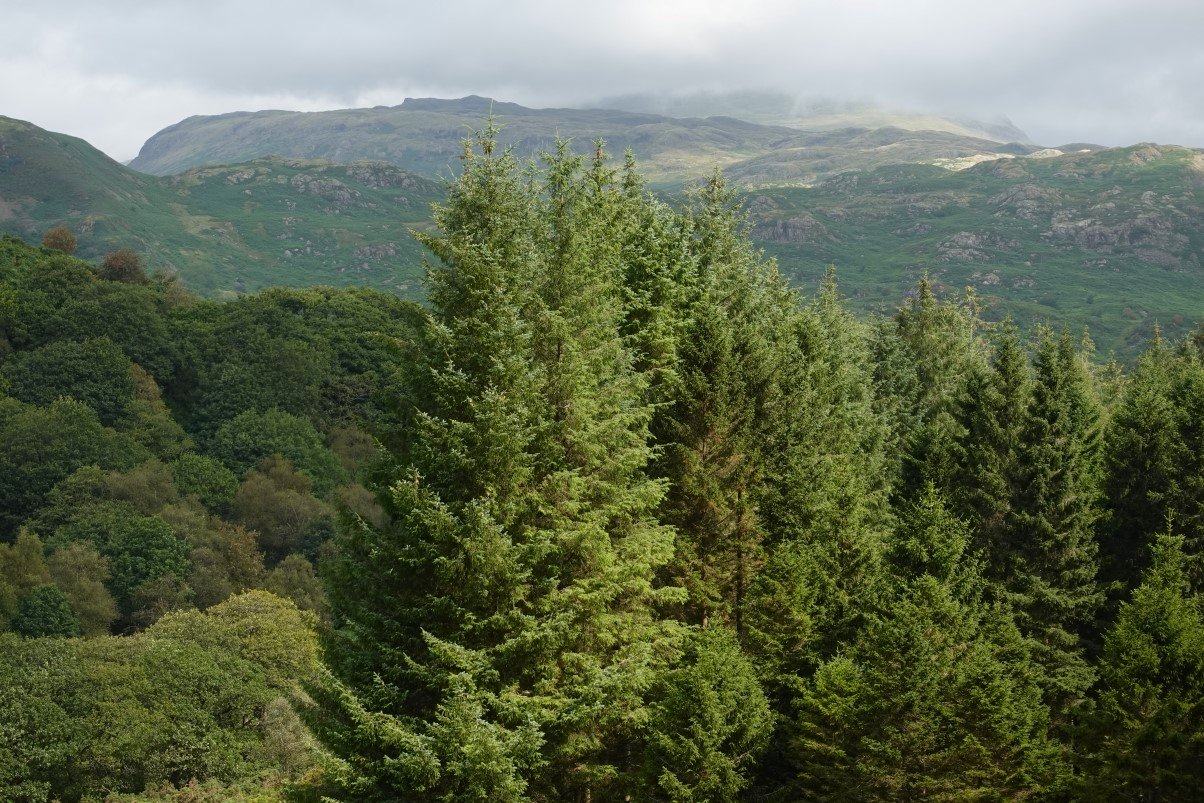
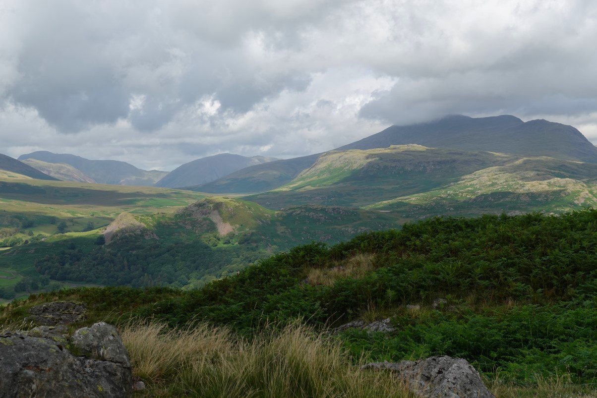
And a longer range view of upper Eskdale with Bowfell at the head flanked on the left by Esk Pike and in shadow Crinkle Crags. I noticed that the high fells were again covered.
On the climb to Gate Fell now. Low Birker Tarn seen across Foxbeild Moss.
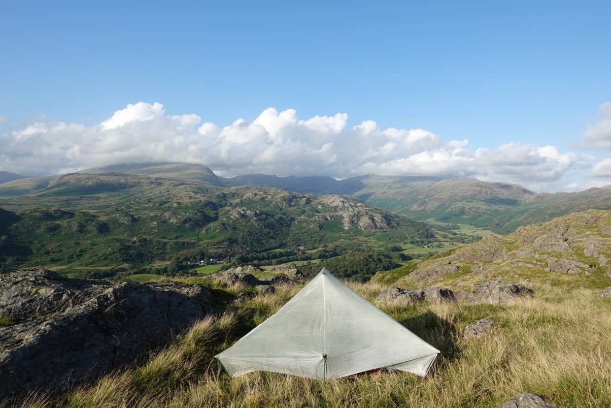
My camp spot overlooking beautiful Eskdale.
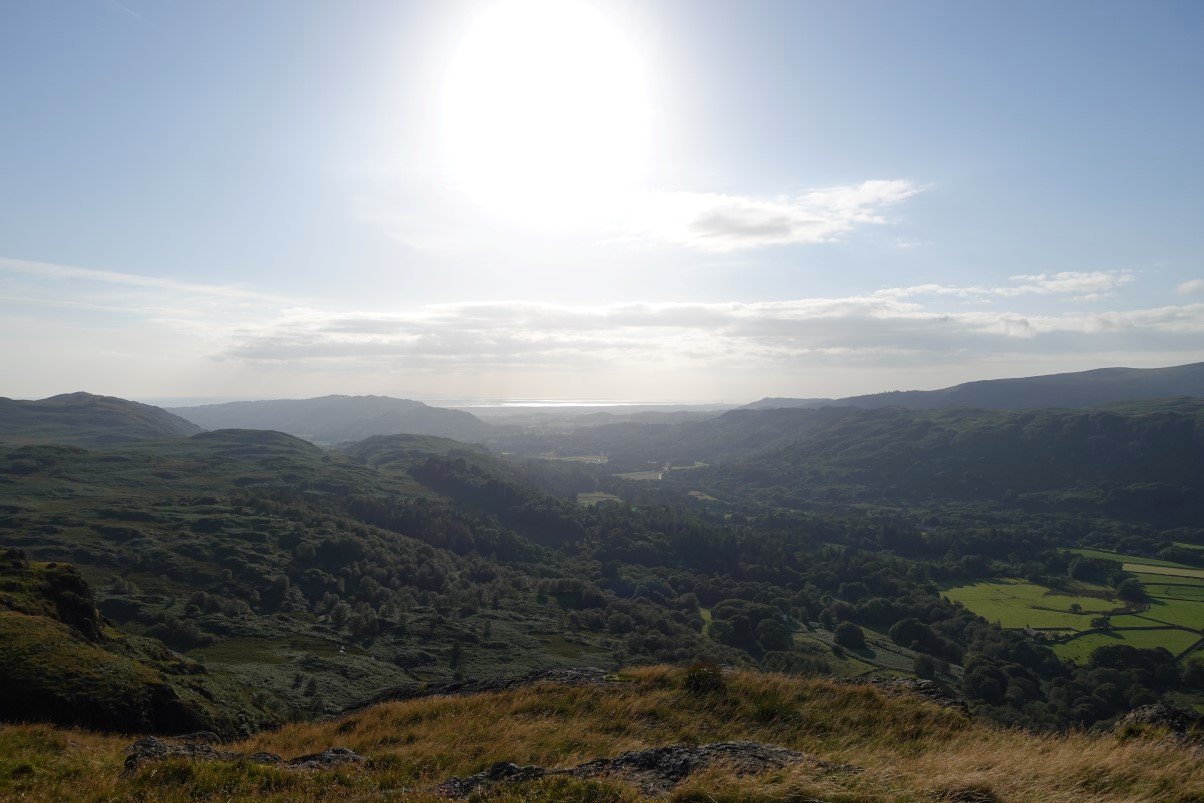
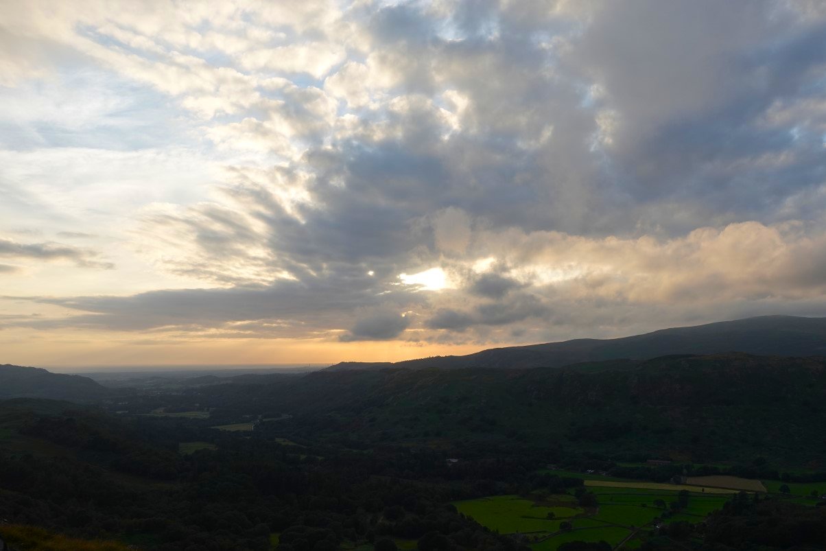
Looking down the valley to the Irish sea shining in the afternoon sunshine.
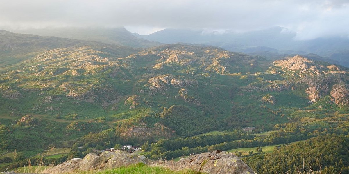
Later in the evening the fells above the Woolpack are brilliantly lit.
Not to bad a sunset.
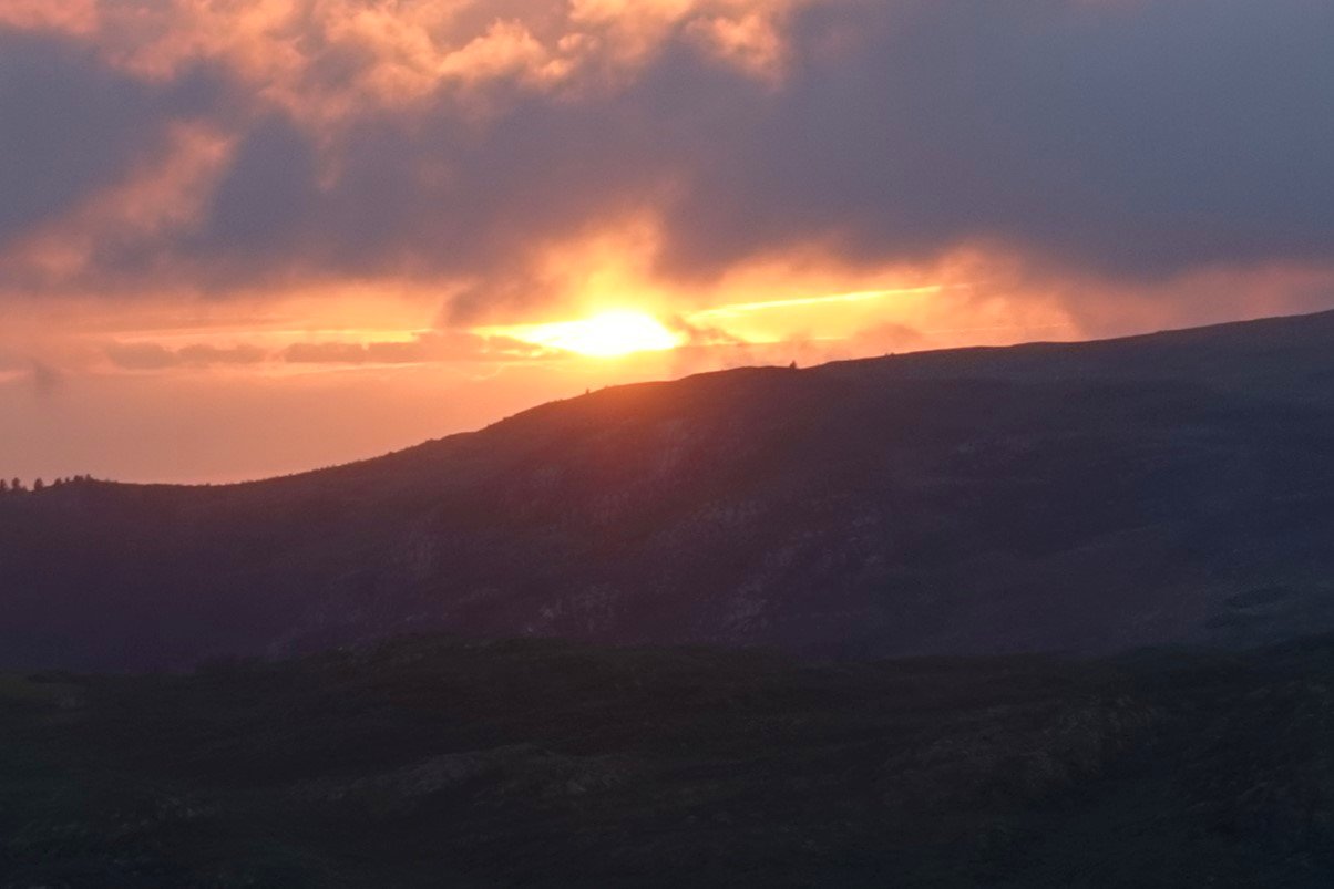
With even a late burst of colour.
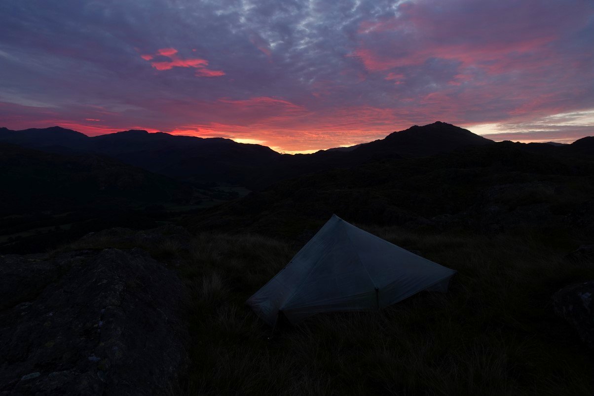
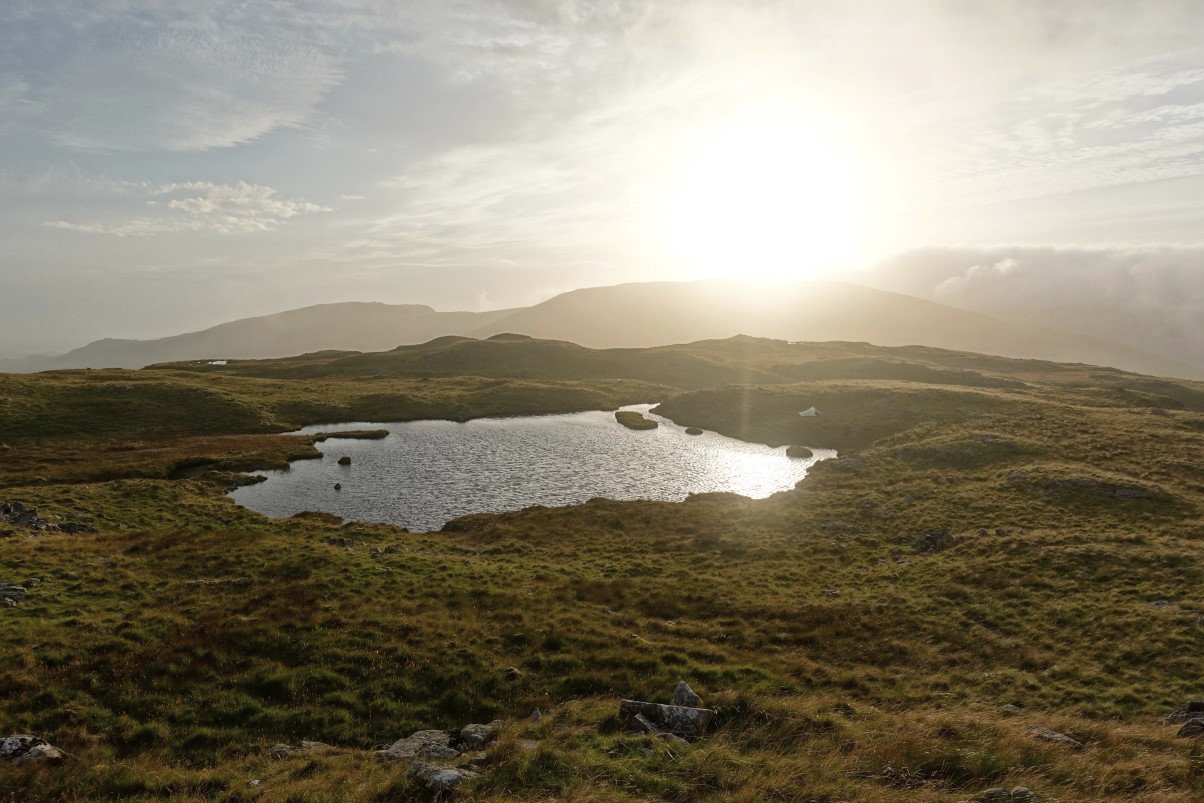
5AM and more colour on the otherside of the sky.
What a lovely morning. I'm so glad I didn't go home.
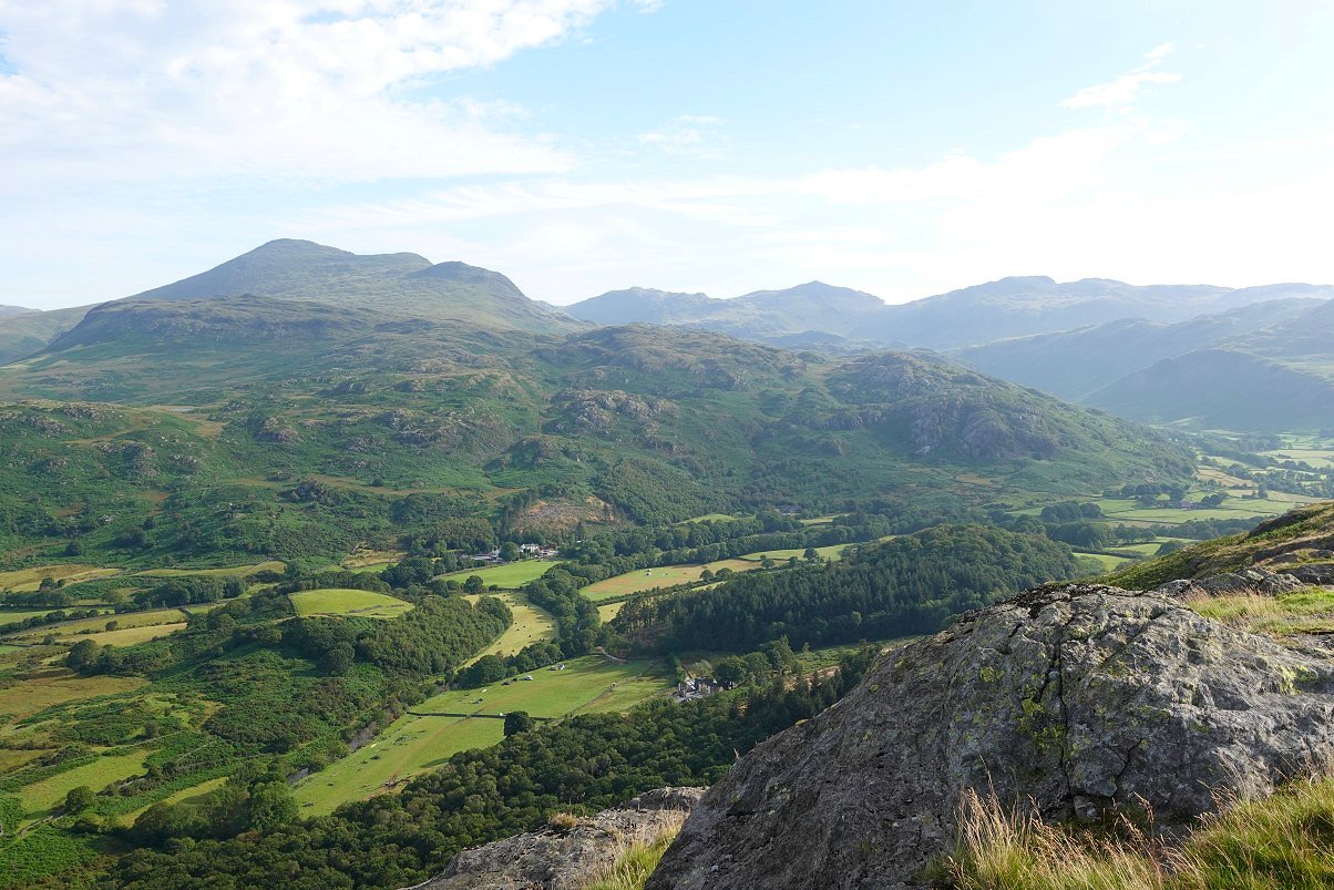
After a very leisurely packing up I dropped down from Gate Crag to Hartley Crag and walked straight down the ridge. We were originally going to climb this when we came with Louis but we decided that it might be a bit much for him but now having walked down it I think that even Louis at four years old would have had no trouble.
Approaching the lovely Whincop farm.
The ridge of Hartley Crag does look quite difficult from here especially near the top but it was a simple walk down. Gate Crag is the higher top behind.
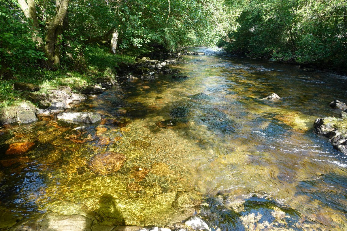
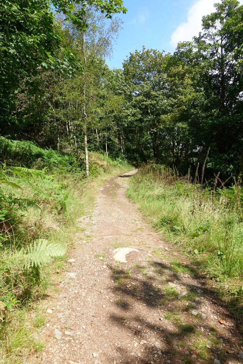
I took the Esk Trail down the valley, stopping here by the Esk for a morning brew. I fancied another breakfast but the George Vth pub didn't open till twelve so I bought some fruit from the shop in Eskdale Green which kept me going till I reached my car. As soon as I got home I started with a splitting headache and cough and on Monday morning I took a Covid test and was positive so perhaps my body was trying to tell me something.
Previous walk -- Four fells from Honister - Next walk - Around Borrowdale