WWW.KARLSWALKS.CO.UK
PICTURES AND TRIP REPORTS FROM MY WALKS IN THE ENGLISH LAKE DISTRICT
|
|
|
|||||
|
|
|
|
|
|
|
|
E-mail - karl@karlswalks.co.uk |
Leaving home in the drizzling rain and near darkness Emily and I put our faith in the forecast which said that the weather in the Lakes would be a lot kinder. And it was.
Emily had said that she didn't want a "massive" walk today so as she has never been to Raven crag before That's where we headed
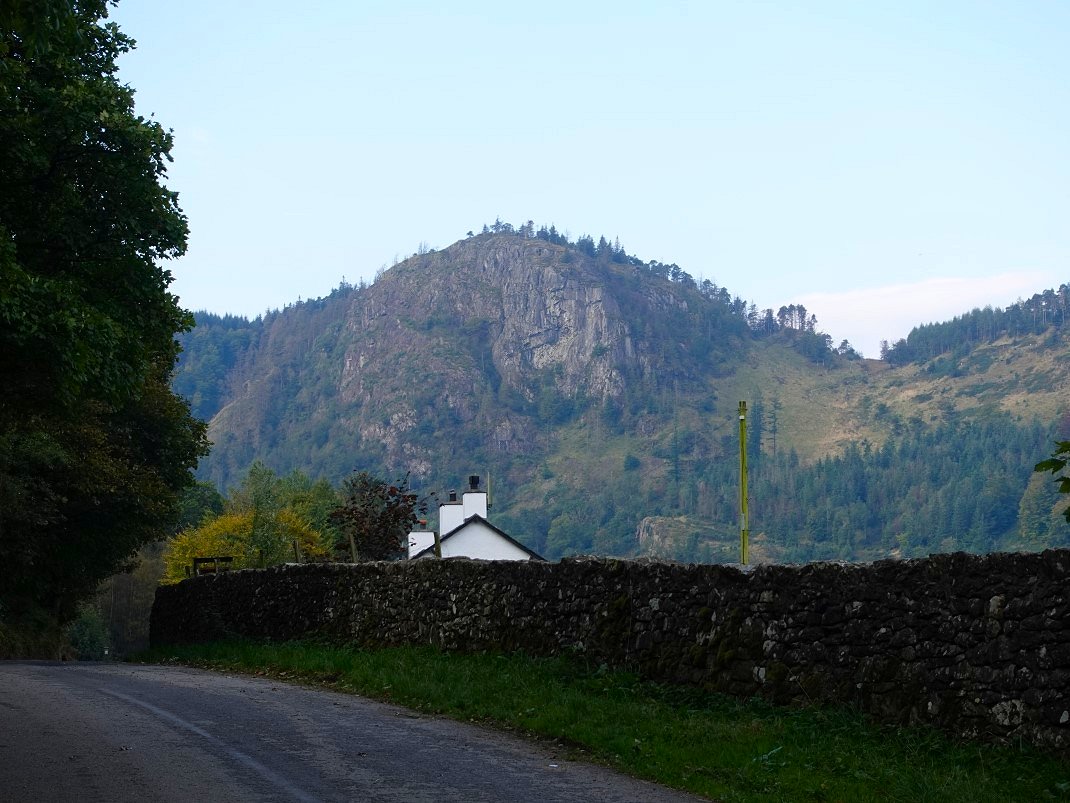
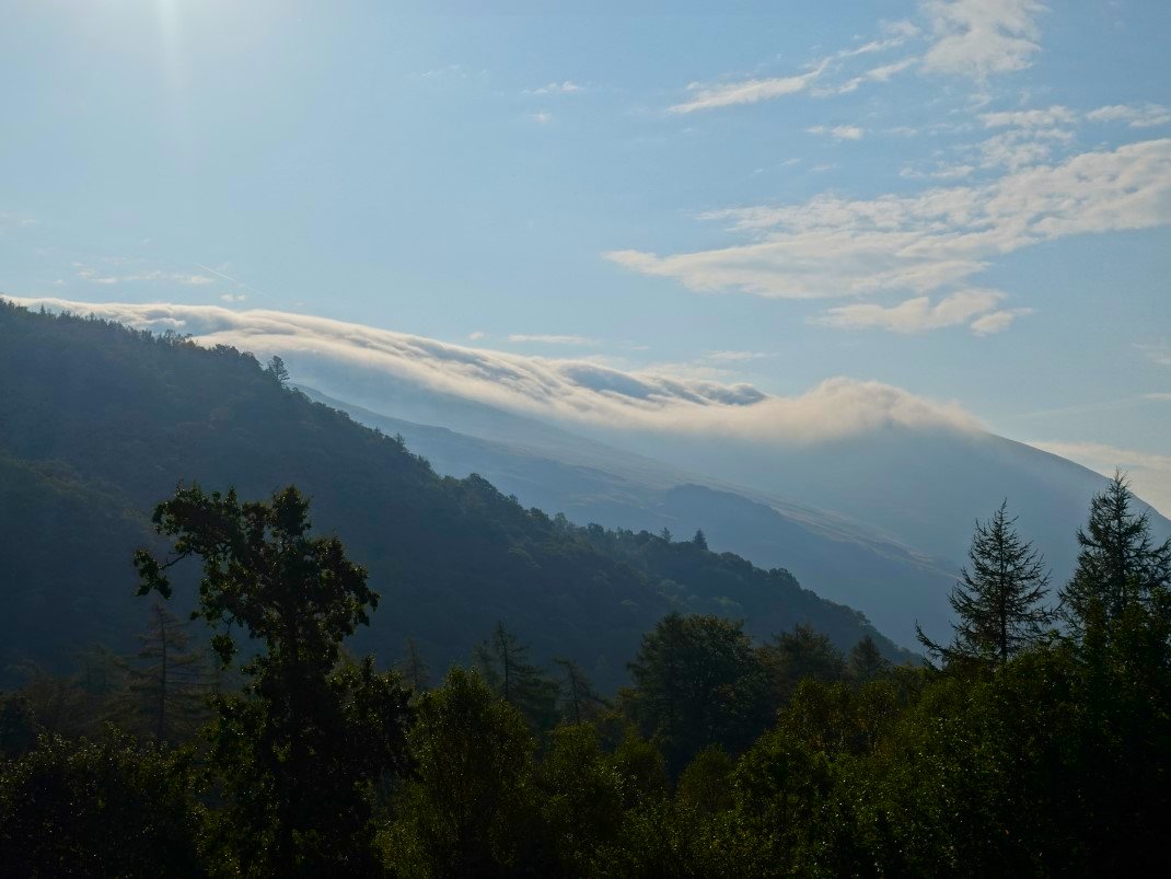
Raven Crag from the road from Bridge End. We couldn't get over our luck with the weather, it was not only sunny but quite warm as well. We had got lucky with our choice of fells as well as the high summits were wreathed in cloud which never really moved all day.
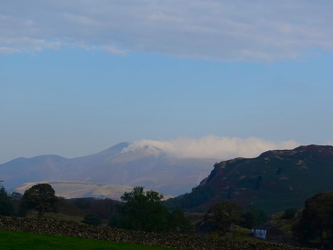
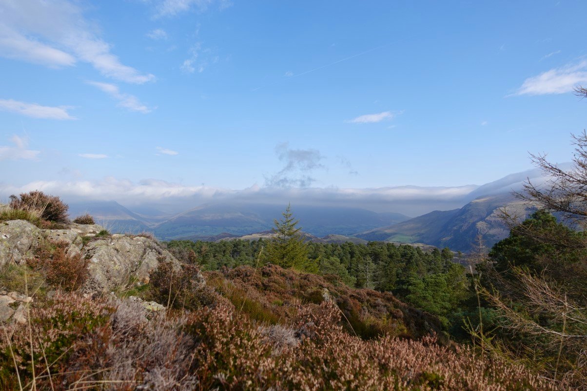
Saying that the very top of Skiddaw is clear but Little Man and Lonscale Fell are well hidden.
Further along the road we can see The Benn on the right with Raven Crag to the left.
The Helvellyn ridge was covered in a very thick blanket of cloud. Watson's Dodd and Great Dodd above Castle Rock are the fells that you can't see.
And the cloud continued all along the ridge to Browncove Crags.
.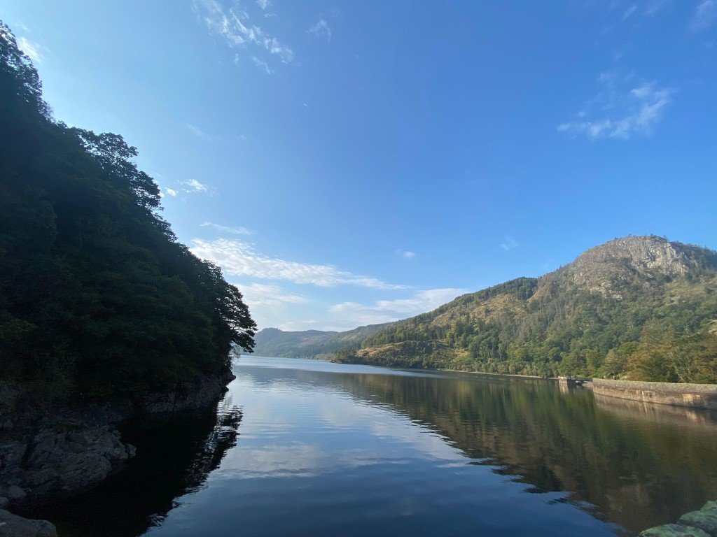
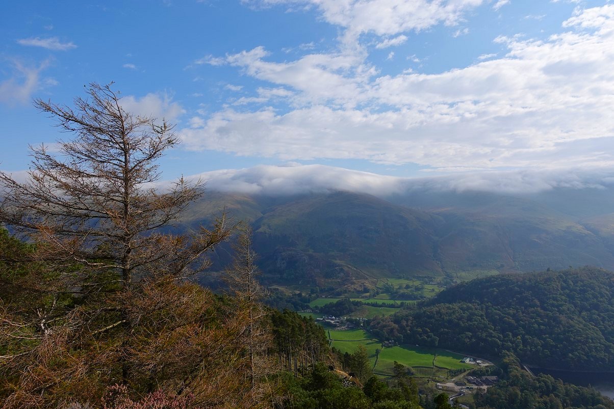
Down here though everything was beautifully clear.
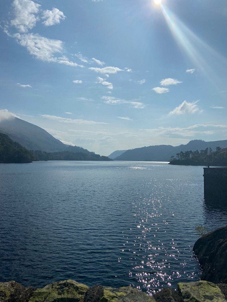
Looking along Thirlmere. Emily said that it looked more like Switzerland than England.
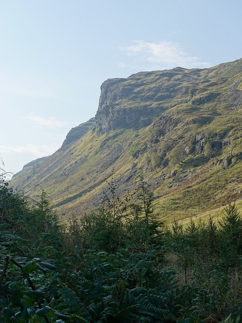
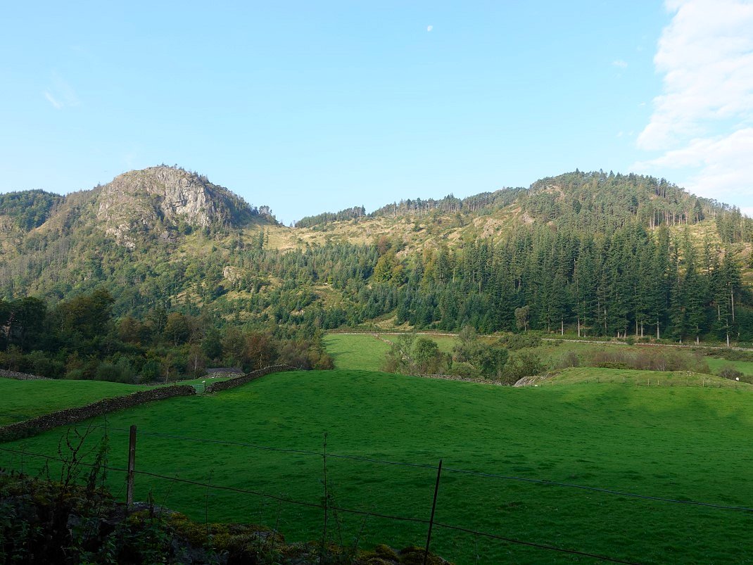
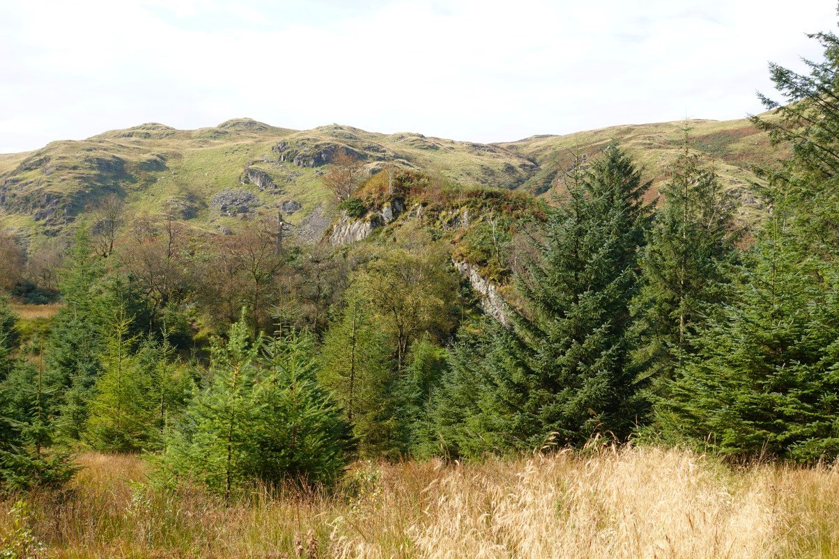
We followed the forest road which winds around by Shoulthwaite Moss then starts to ascend. The fine profile of Iron Crag across the valley comes into view as you gain height.
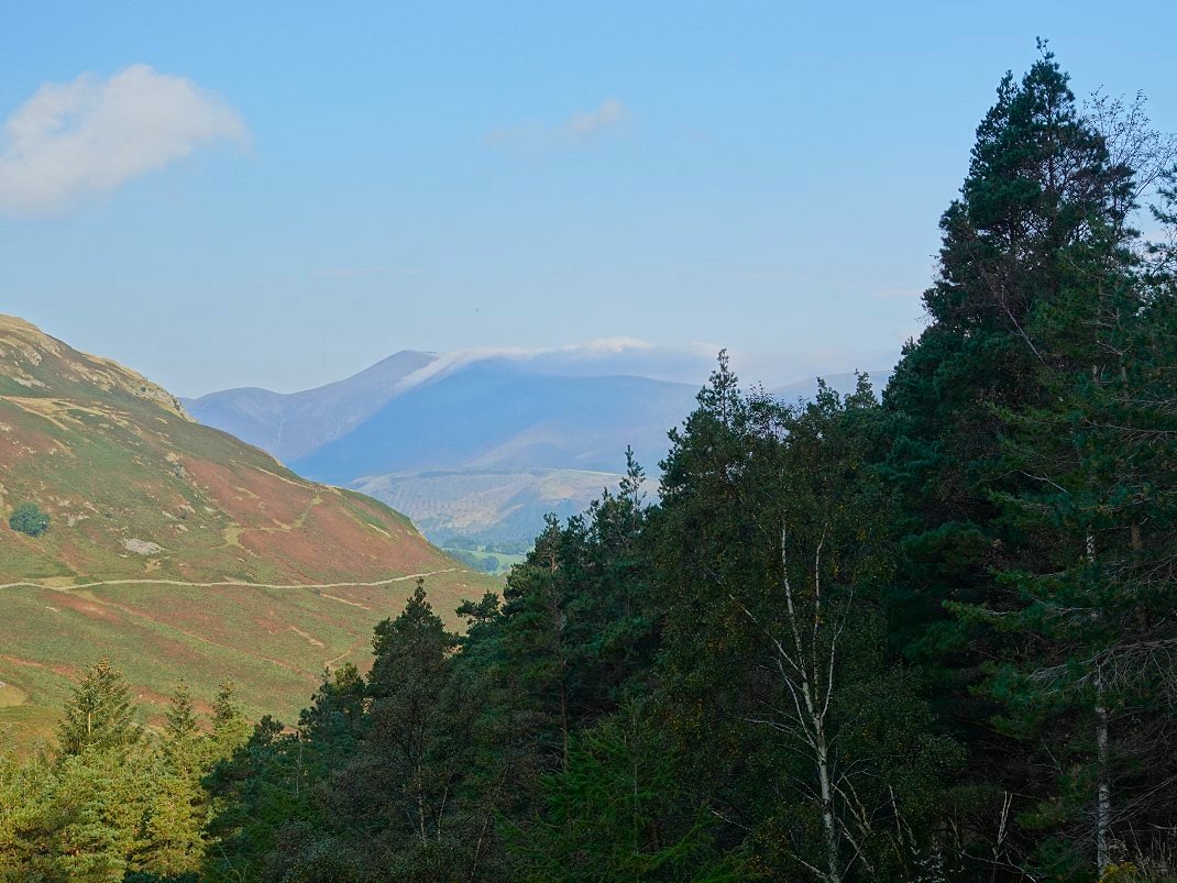
Looking back to Skiddaw from the forest road.
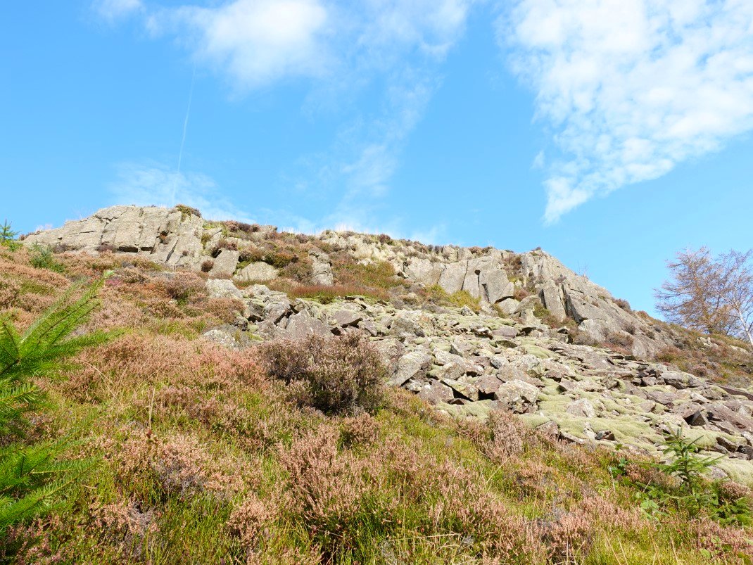
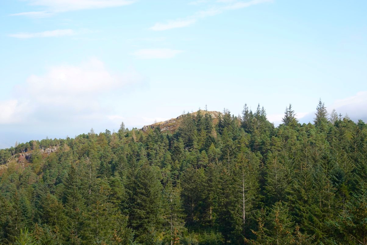
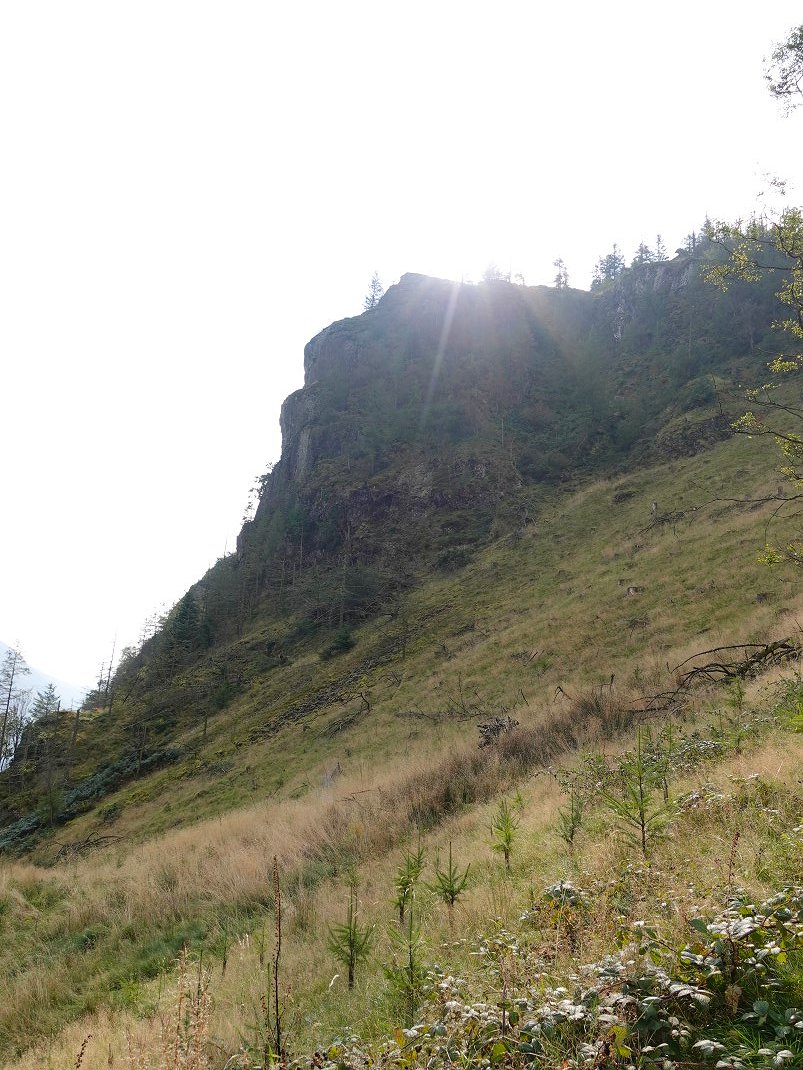
A narrow path leaves the track and takes you through the trees until the final rocky top of Sippling Crag is revealed.
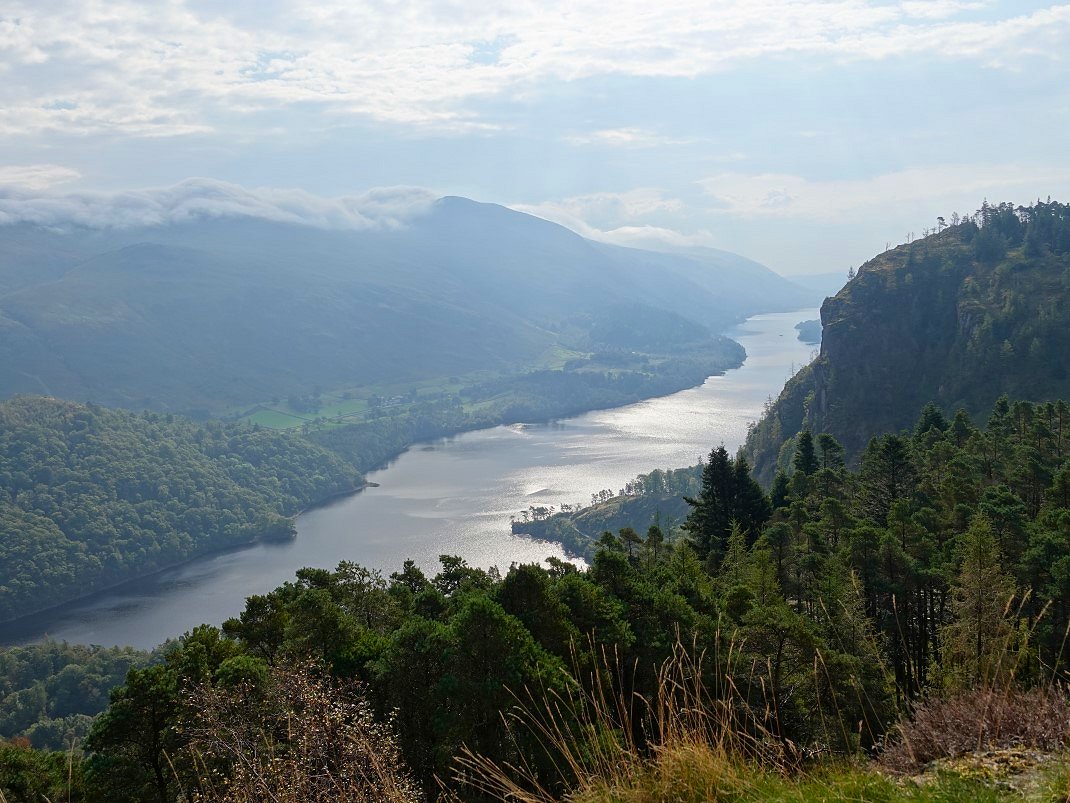
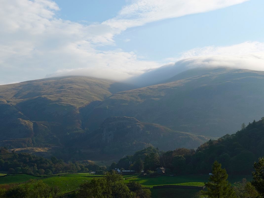
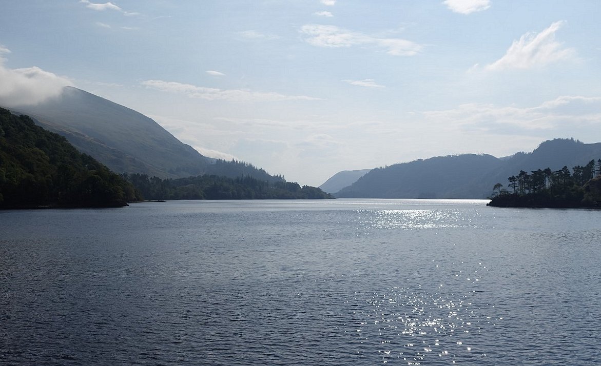
Thirlmere below with Raven Crag to the right and the still cloud covered Helvellyn ridge to the left.
We sat for quite a while on the top and watched as some high cloud appeared but it soon melted away.
More cloud on the higher fells looking north.
The view down over Bridge End.
We made our way back to the forest road and then took a right turn to go and visit the little bump of Castle Crag Fort.
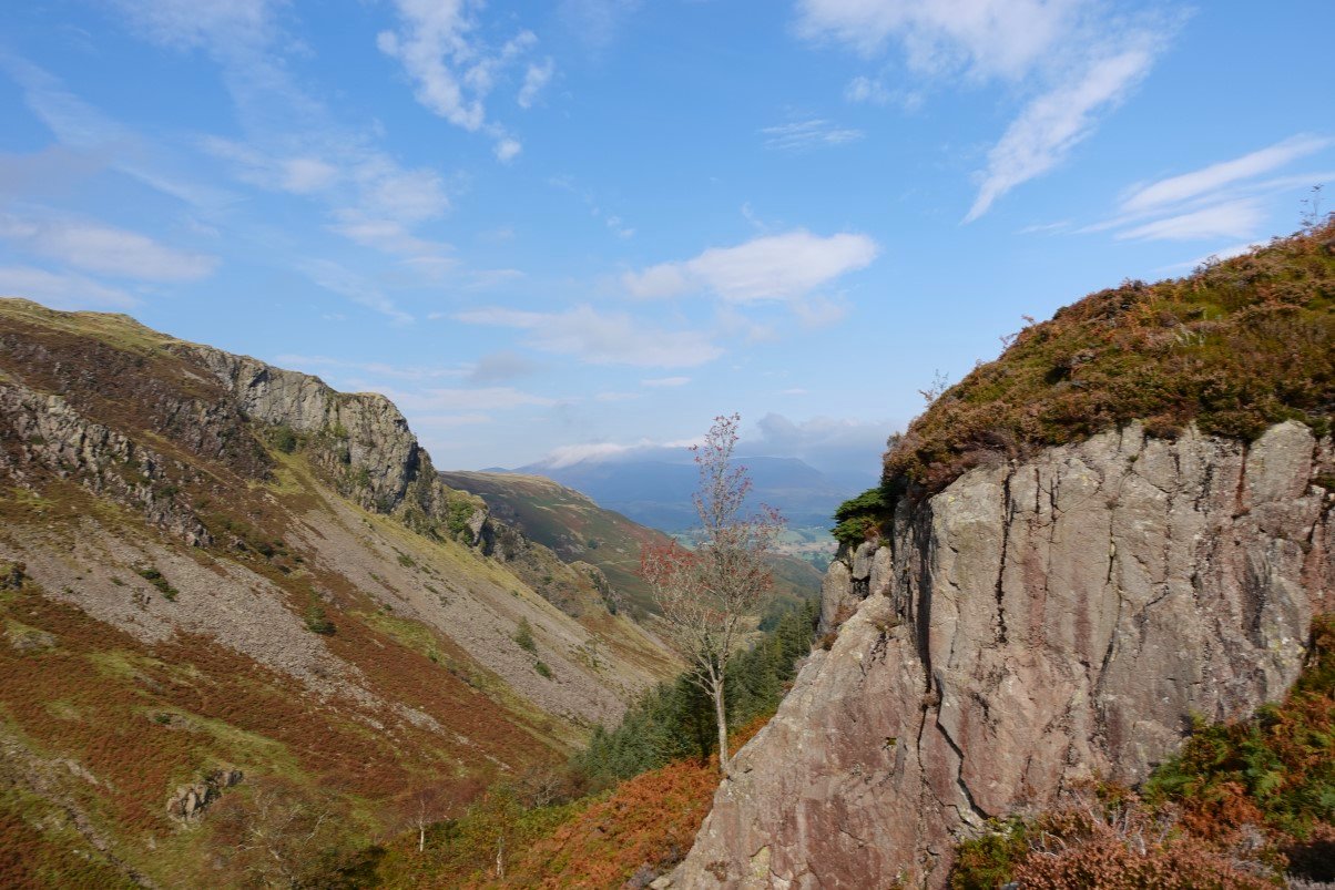
Looking down Shoulthwaite from the southern side of Castle Crag. The rocks on the right are an enjoyable little scramble to the top. Emily took the easier path to the north.
The Benn across the trees from Castle Crag.
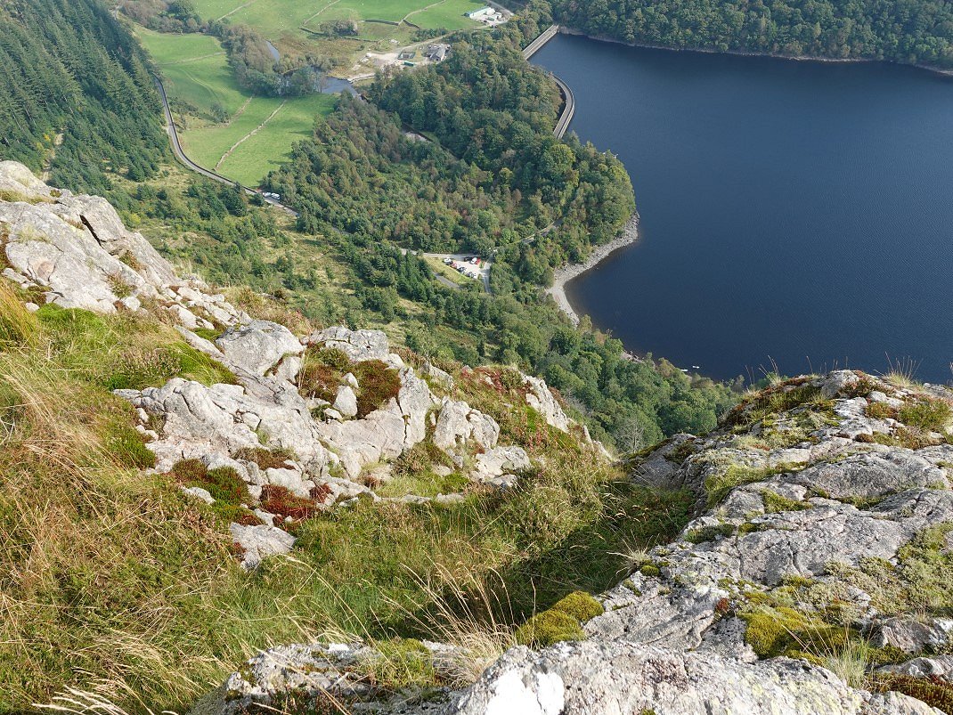
From Castle Crag it's only five minutes to the now stepped path up to Raven Crag which unlike The Benn which we had to ourselves was quite busy with folk enjoying the late summer weather. This is view down to the dam from the edge.
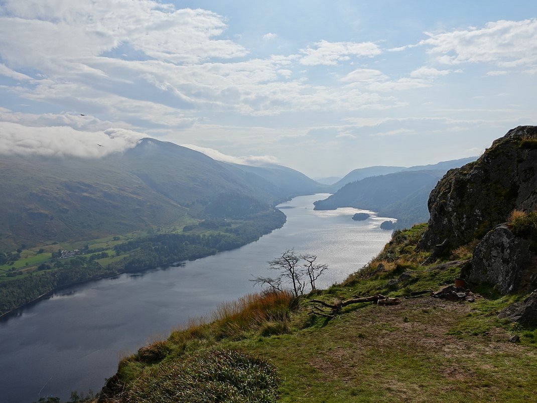
And the view along Thirlmere for which Raven Crag is most famous for. Unfortunately Raven Crag is a bit too famous and is wild camping or more precisely a fly camping blackspot and there are the remains of several fires scattered around the top and on most days lots of rubbish left behind although today we didn't see any on the actual top but we did find a horrible mess lower down in a clearing in the trees. As it was only a short walk I only had my small day pack and no bin bag so I couldn't even take any of it away.
On the way down the steep path to the valley now. Raven Crag is above us.
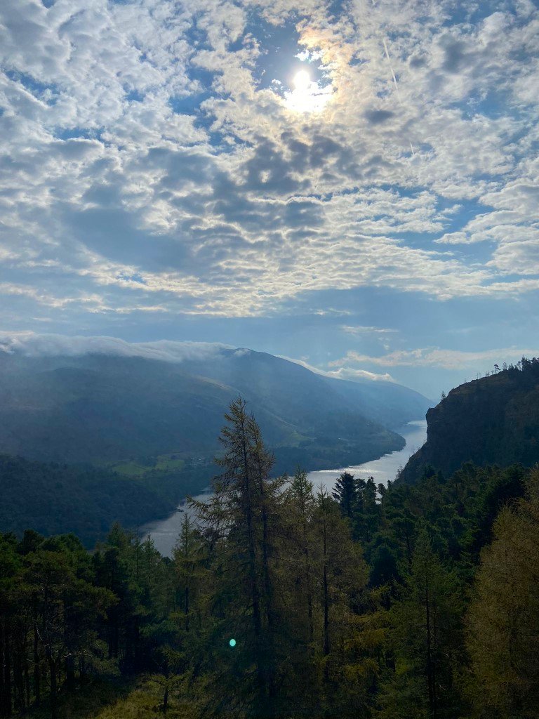
A final look along Thirlmere.
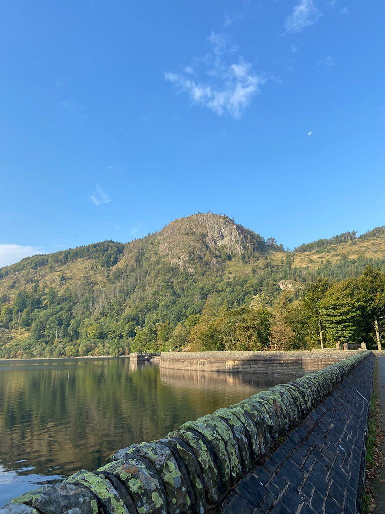
And a final look at Raven Crag with the moon above.
Previous walk -- Binsey to Keswick via Dodd and Latrigg - Next walk - Pooley Bridge to Steel Knotts and back