WWW.KARLSWALKS.CO.UK
PICTURES AND TRIP REPORTS FROM MY WALKS IN THE ENGLISH LAKE DISTRICT
|
|
|
|
||||
|
|
|
|
|
|
|
|
E-mail - karl@karlswalks.co.uk |
Starting from the high pass of Honister today for a round of three conveniently close together fells and with a bit of underground exploration to finish with.
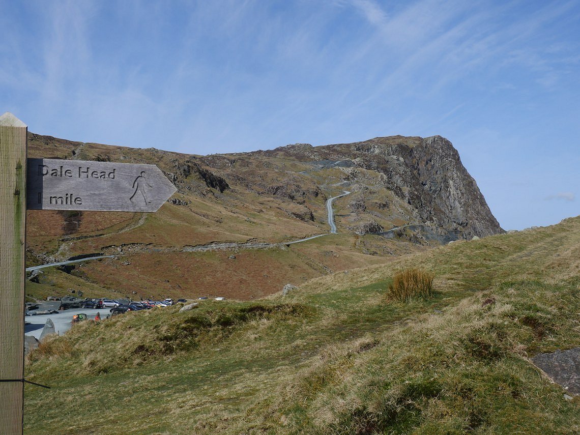
Handy sign at the start of the path. Although I think it's a little bit more than a mile, but who's counting ?
It's straight into a steady uphill climb and before too long the high fells appear above the slate mine.
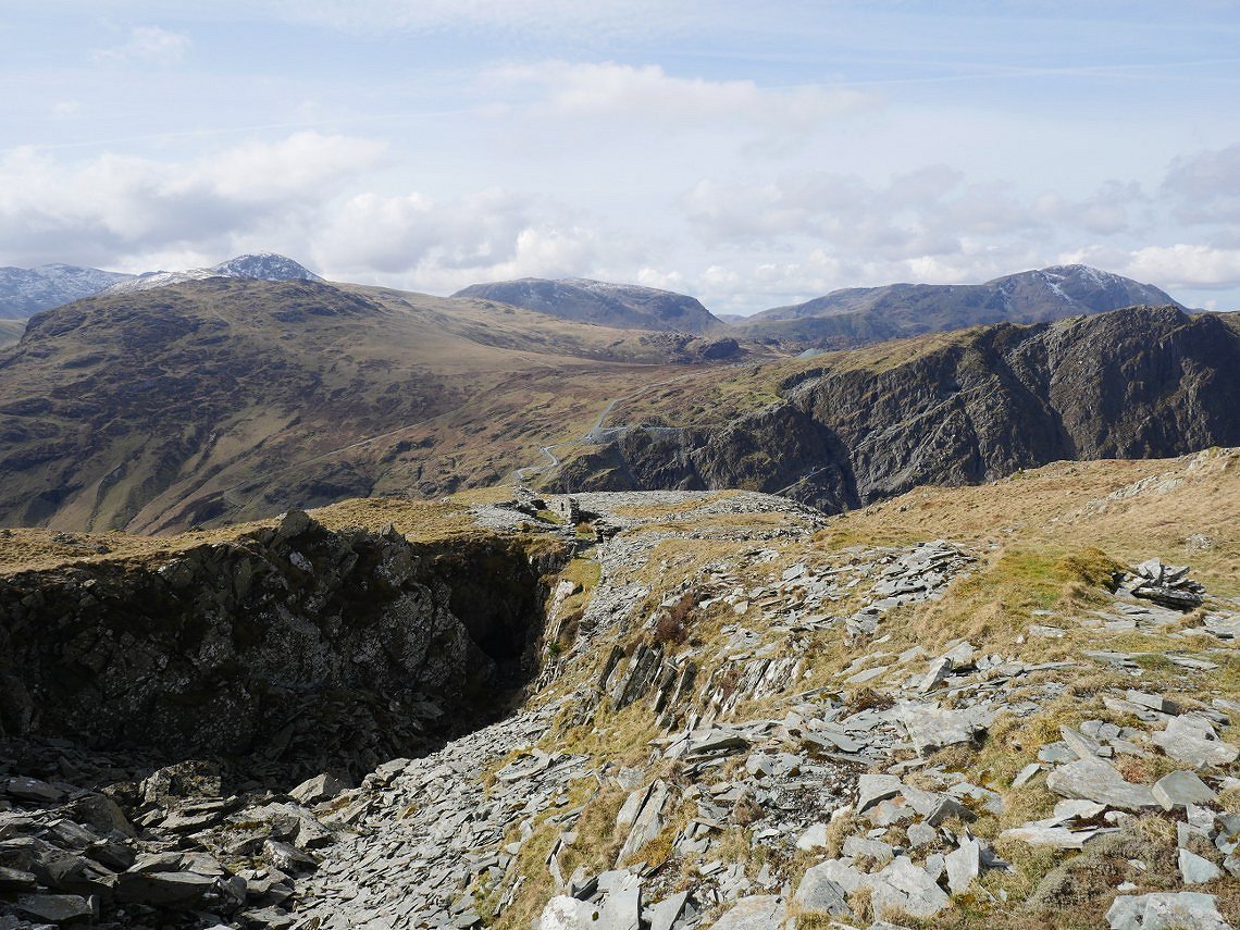
I diverted off the path to have a look at the old Yewcrag quarry but after a quick poke around I rejoined Sue on the main path and thought to have a more extensive look on the way back down..
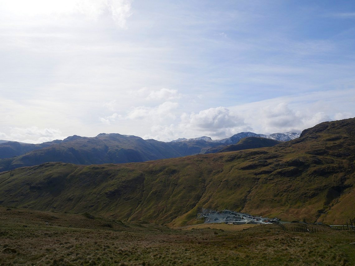
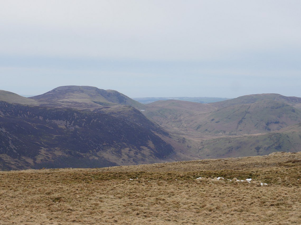
On to Dale Head now from where you have one of the finest views in the Lake District. Newlands Beck which we followed back last week snakes along the valley.
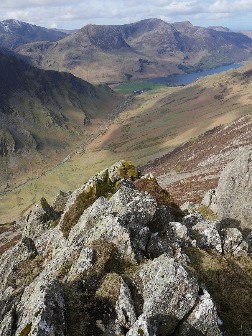
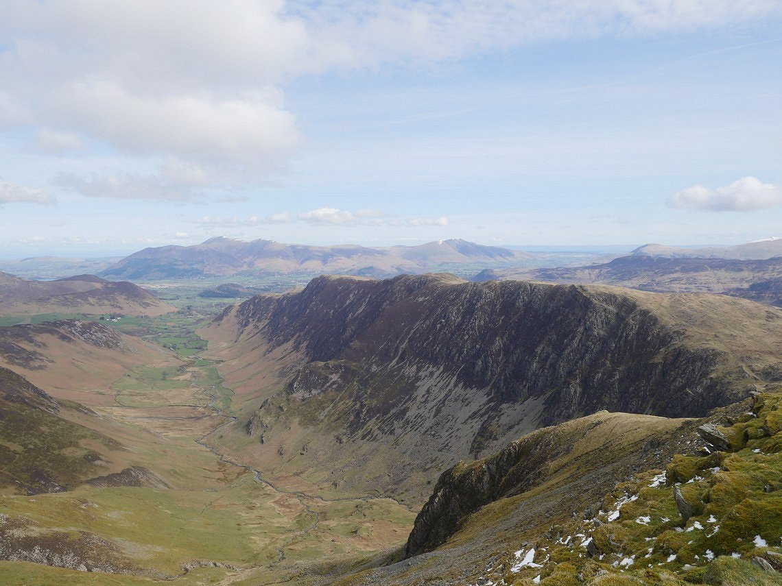
And it's another decent view as you make your way from the top of Dale Head towards Hindscarth. Gatesgarth Dale is below which leads on to Buttermere with the High Stile ridge above.
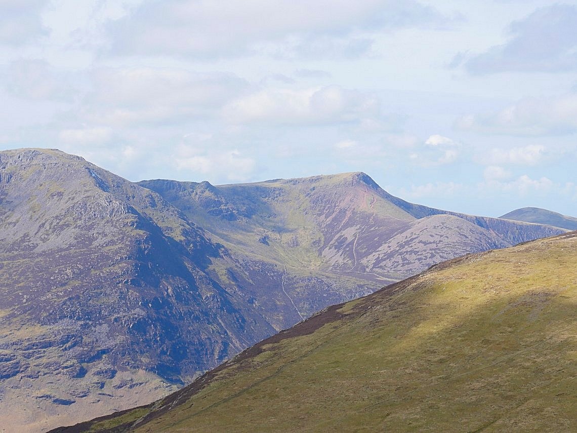
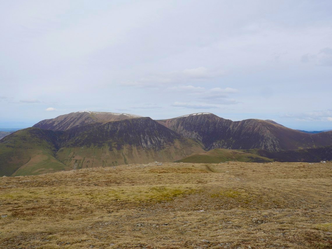
On to Hindscarth and zooming in on to Red Pike with Dodd below. We were looking at the red soil path up from Bleaberry tarn which we agreed looks unclimbable from here.
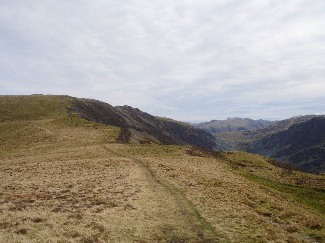
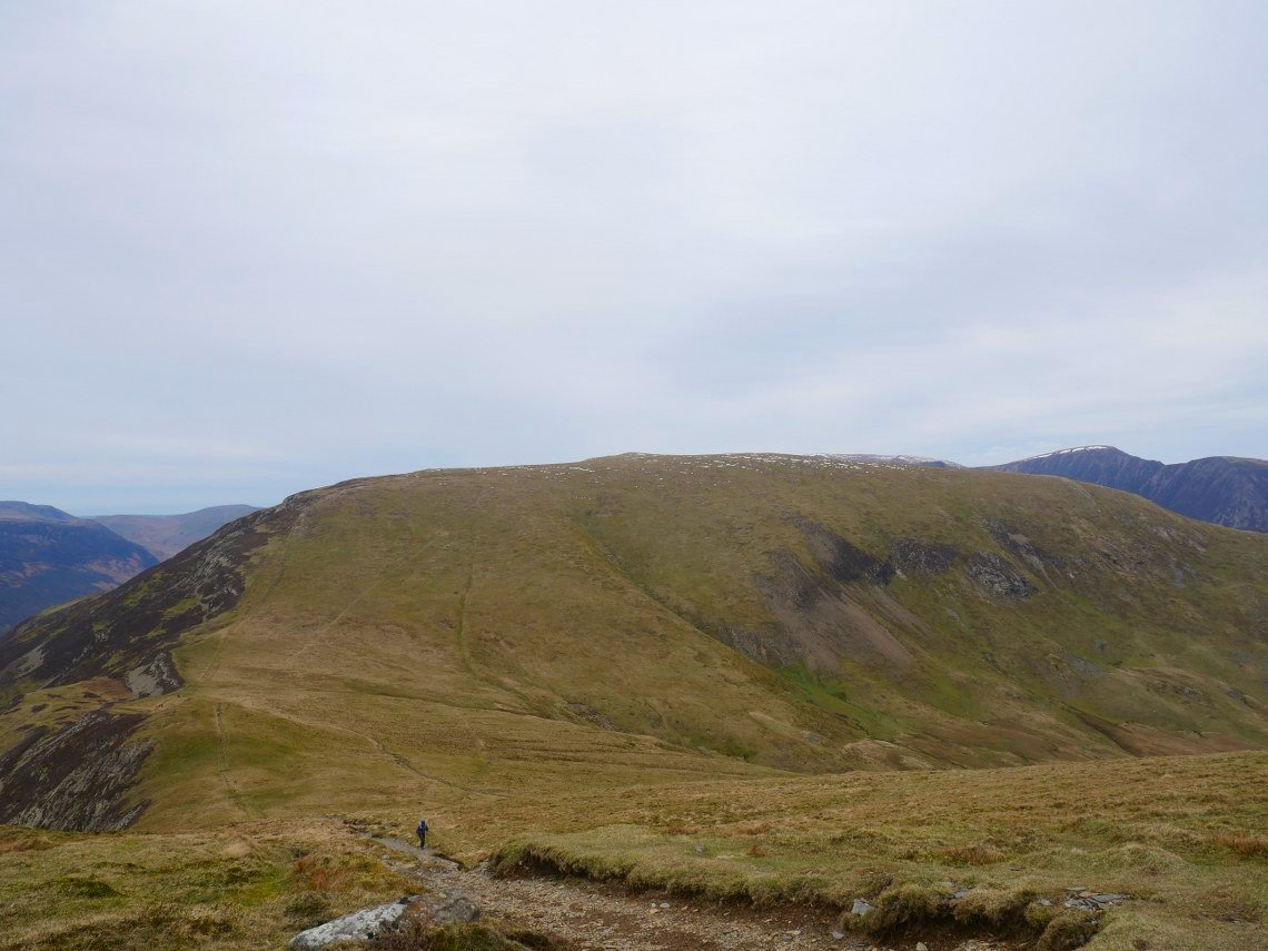
The path you can see on the left cuts the corner on the way down from Hindscarth. Here we are just starting the steep but not very long pull up to Robinson.
At the point where you turn right to gain the summit of Robinson I diverted off the path for a look down to Buttermere.
When on Robinson previously I hadn't noticed that you can see Floutern Tarn. We both commented on how high it seems and but anyone who has been that way over the pass from Buttermere to Ennerdale will probably tell you that it's quite a boggy slog up the hillside below the tarn.
.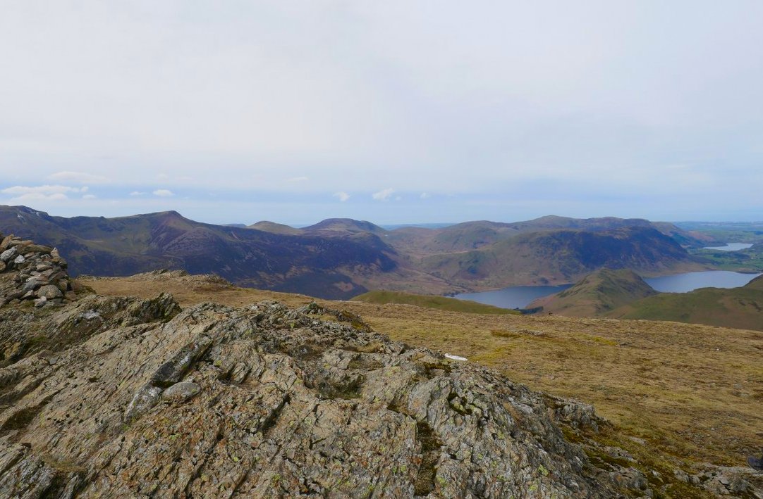
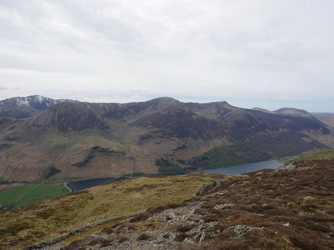
Crummock Water and Loweswater and the fells above them seen from Robinson top.
Over to the northwest is the green top of Knott Rigg with the pointed peak of Wandope above , to the left is Whiteless Pike with Grasmoor behind and to the right are Crag Hill and Sail.
Looking back to Robinson from Littledale Edge.
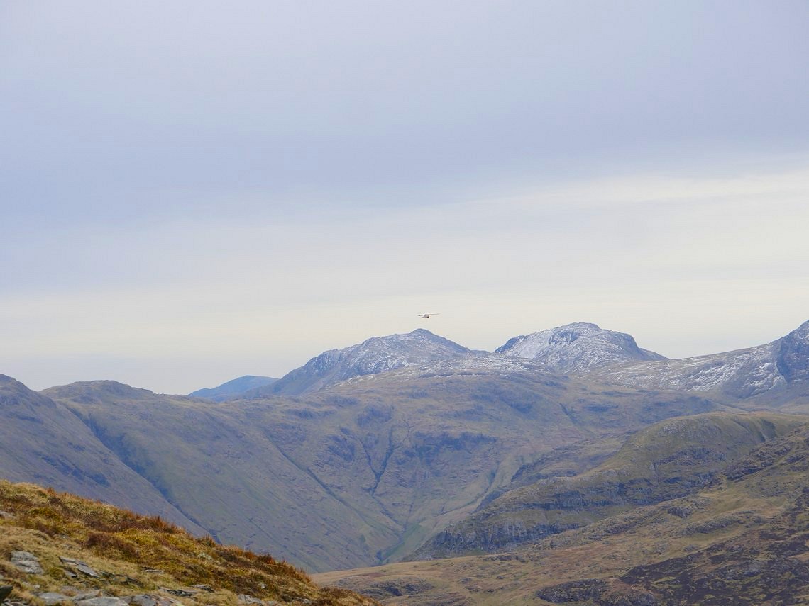
Snowy Bowfell and Esk Pike behind the Kestrel.
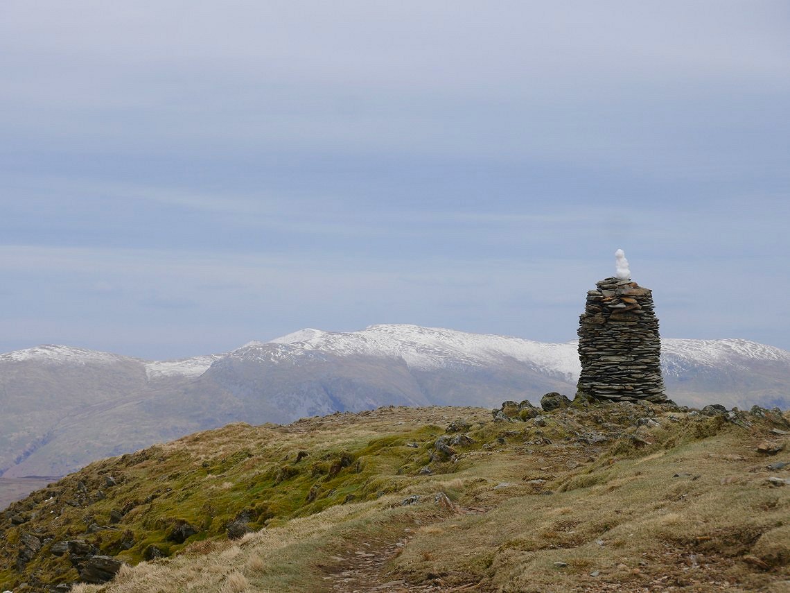
The cairn on Dale Head has gained a snowman since this morning.
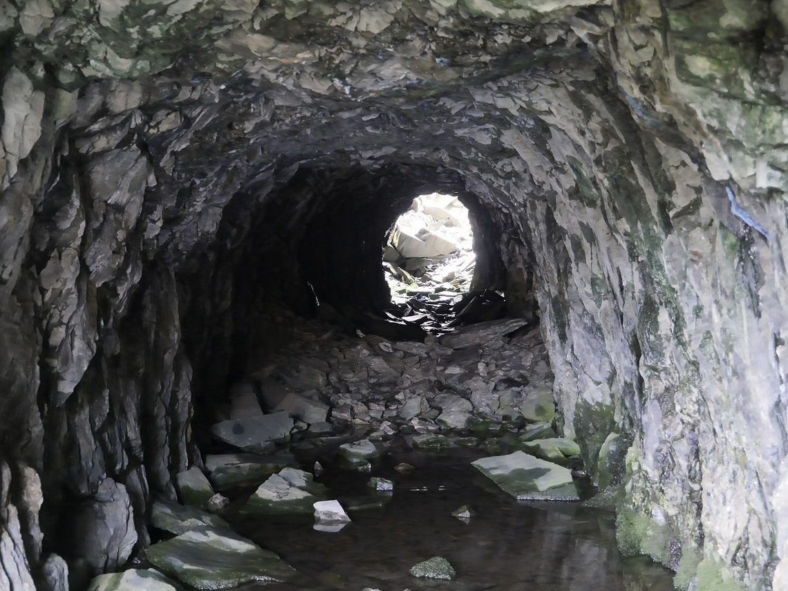
I left Sue to descend on the Grassy path and went to investigate this little tunnel that I'd seen earlier.
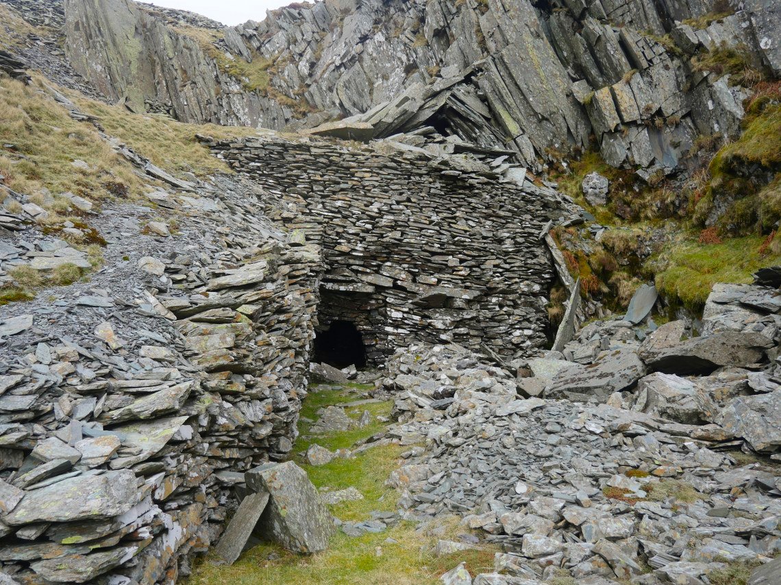
After going through the tunnel I walked downhill through the mine workings till I came upon this door in the hillside.....
which led to another smaller door.....
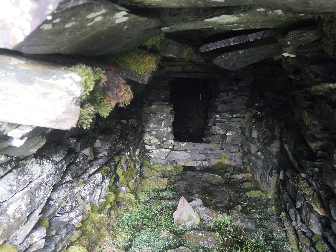
which led to a tunnel ( I put my headtorch on now ).
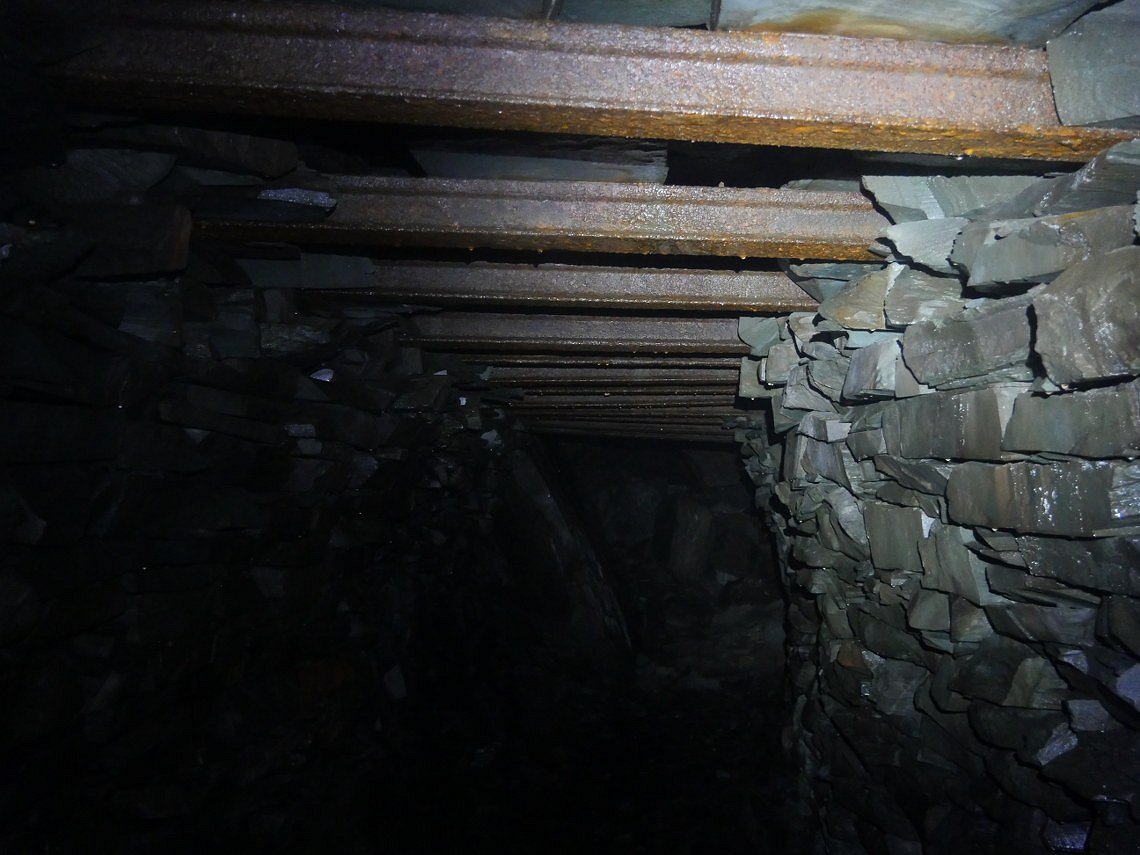
I'm glad to say the tunnel ceiling looks well braced.
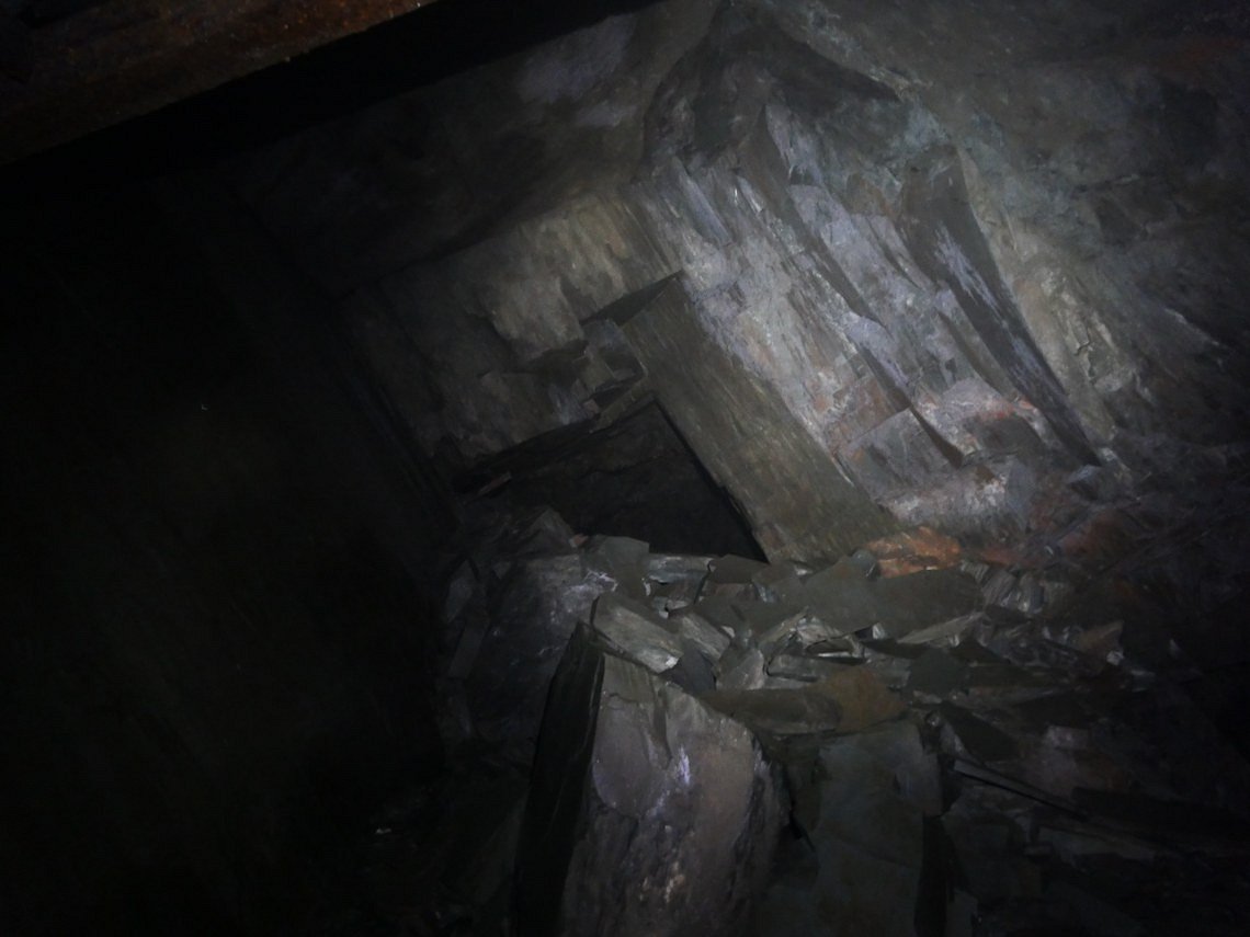
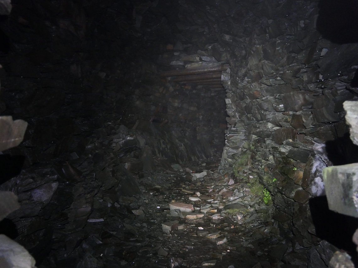
The tunnel opened up into a cavern. There looks to be a way deeper into the mine but I was to chicken to go any further.
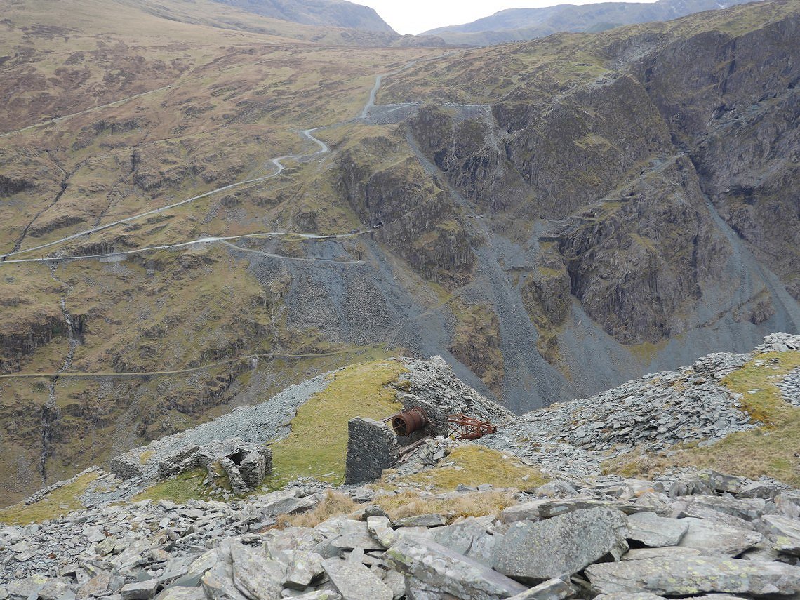
Back into daylight now looking over some old winding gear to the modern day slate mine. From here I cut back across the hillside to join the path back to Honister.
Previous walk - Catbells,Maiden Moor and High Spy - Next walk - The Green to Elterwater