WWW.KARLSWALKS.CO.UK
PICTURES AND TRIP REPORTS FROM MY WALKS IN THE ENGLISH LAKE DISTRICT
|
|
|
|
||||
|
|
|
|
|
|
|
E-mail - karl@karlswalks.co.uk |
I drove up to Eskdale to meet April and Beefy for a walk and camp above Devoke Water, we had originally planned to do a version of this route the other way round with Paul ( and his car ) coming along as well but our plans had to be altered when unfortunately Paul was "pinged" by the Covid test and trace app so had to isolate, so with only the two cars we decided to change our plans and I was to meet April and Beefy on the Saturday morning at Jubilee Bridge and to drive from there to the Top of the Corney Fell road, leave my car and then walk back to Eskdale stopping over at Devoke Water.
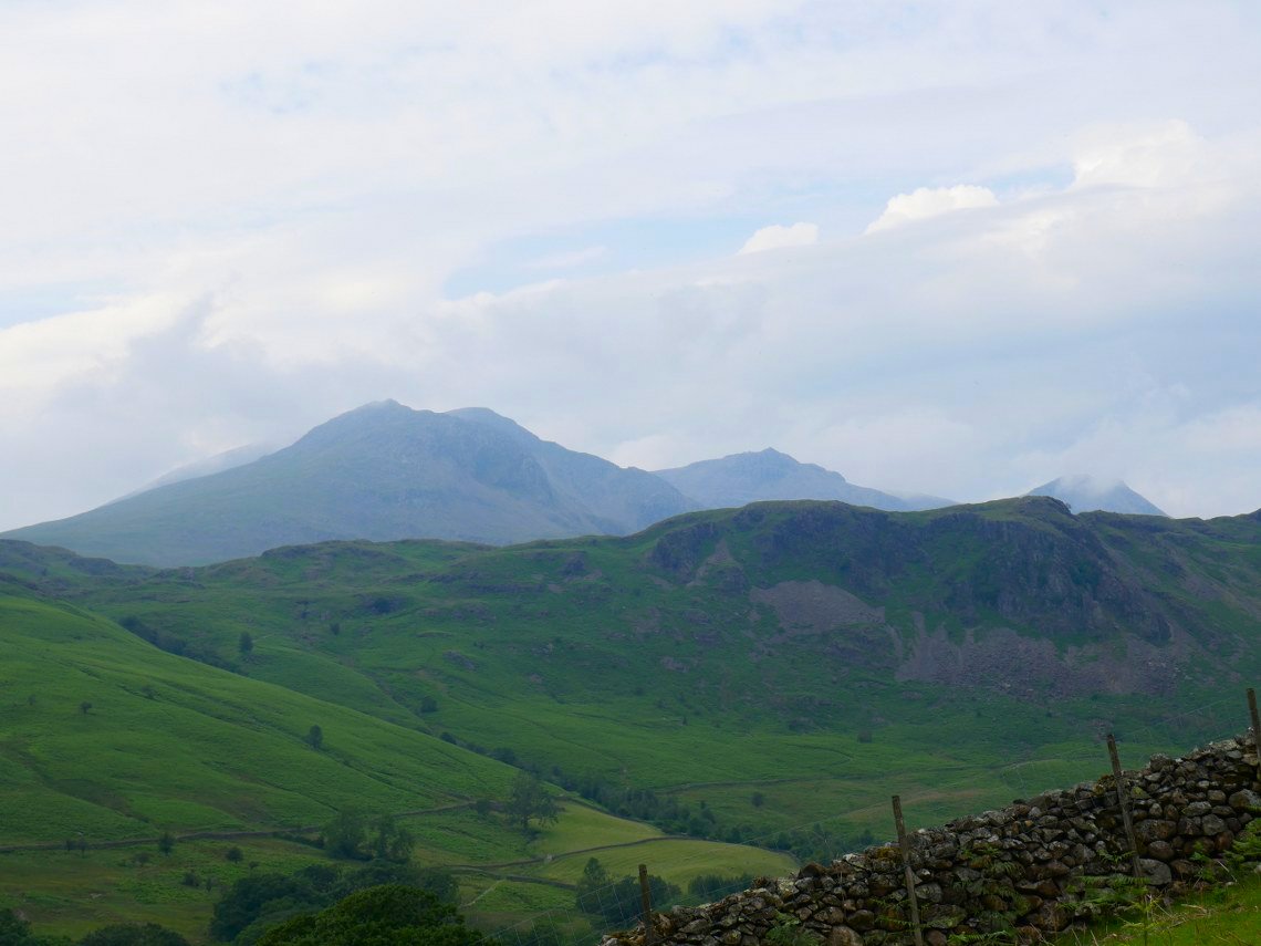
The weather forecast for the weekend had deterioted as the week progressed so as I had finished work earlier than planned on Friday I rushed to get my gear together and headed up to Eskdale. It was a beautiful evening, warm but with a slight breeze to keep the midges away. After leaving my car at Jubilee bridge I set off up the steep Hard Knott pass road, soon getting a view of the Scafell range.
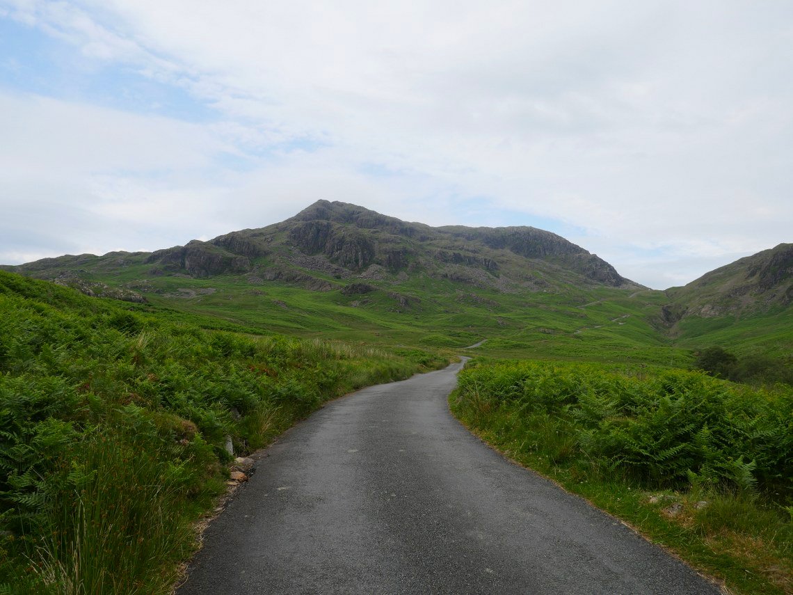
I'm heading up to Border End and I could just follow the road but I wanted to visit the Roman fort and find a route following what looks a straightforward climb up left edge of Border End
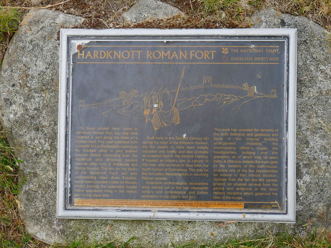
Information board by the fort entrance.
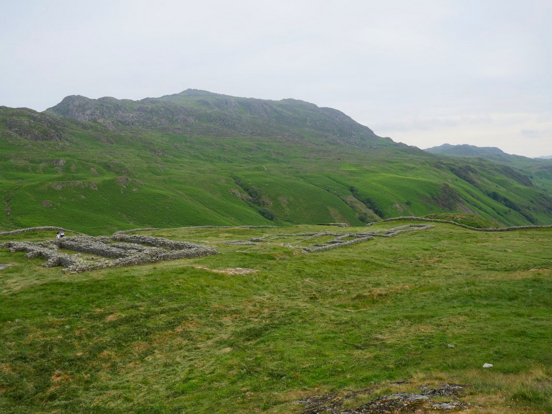
Harter Fell seen across the remains of the fort.
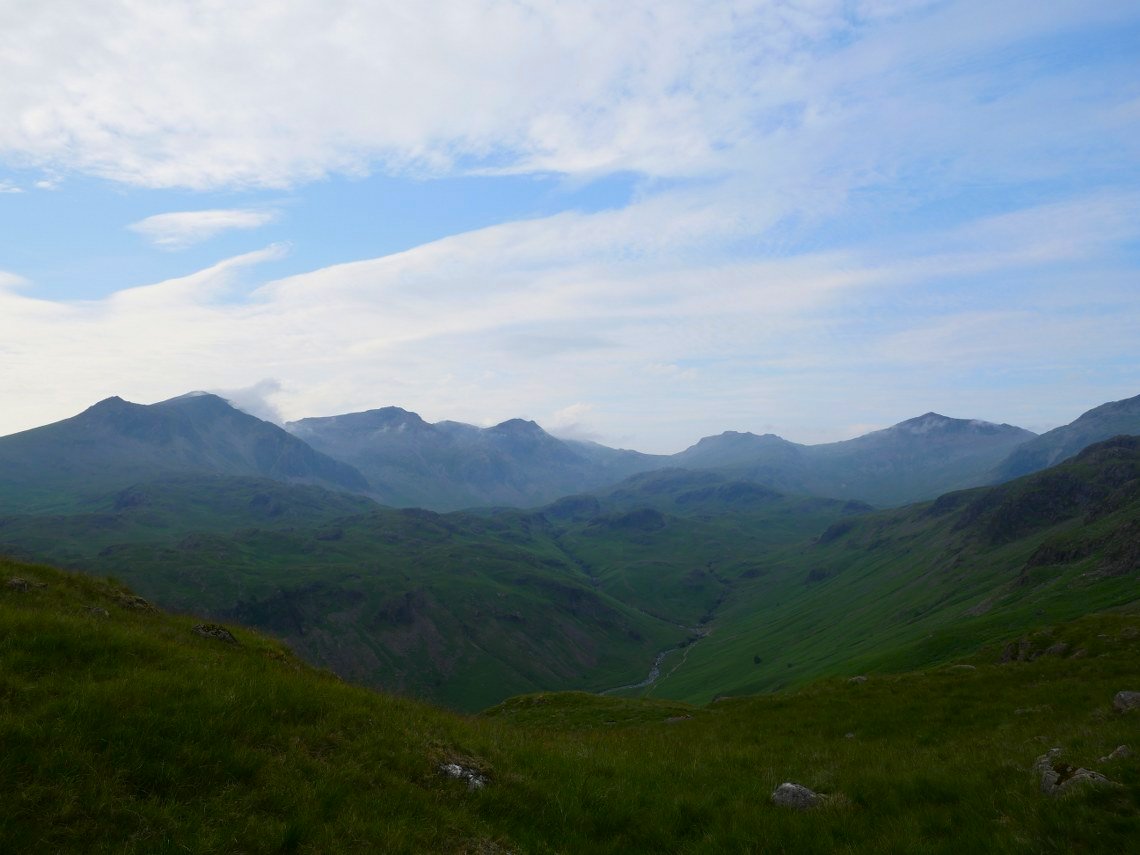
As I climbed up along the flank of Border End the view up along the valley of the Esk opened from Slight Side on the left to Bowfell on the right.
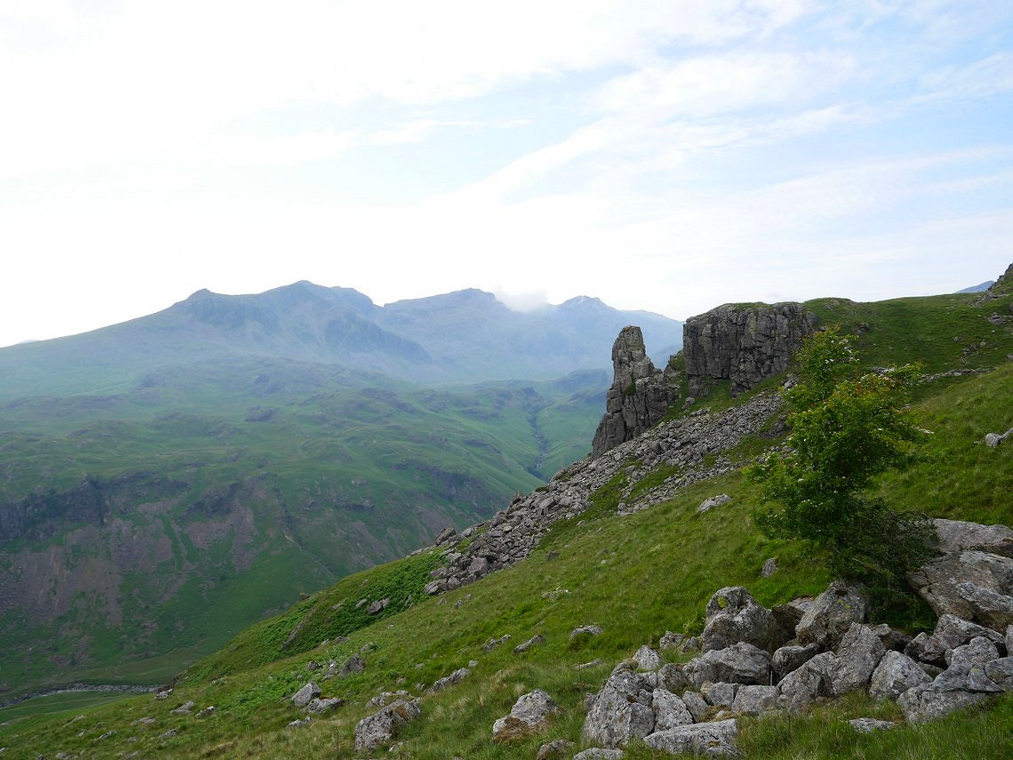
As I had plenty of daylight left I had a change of plan and diverted off to visit Eskdale Needle ( where I had not been since 2014 )
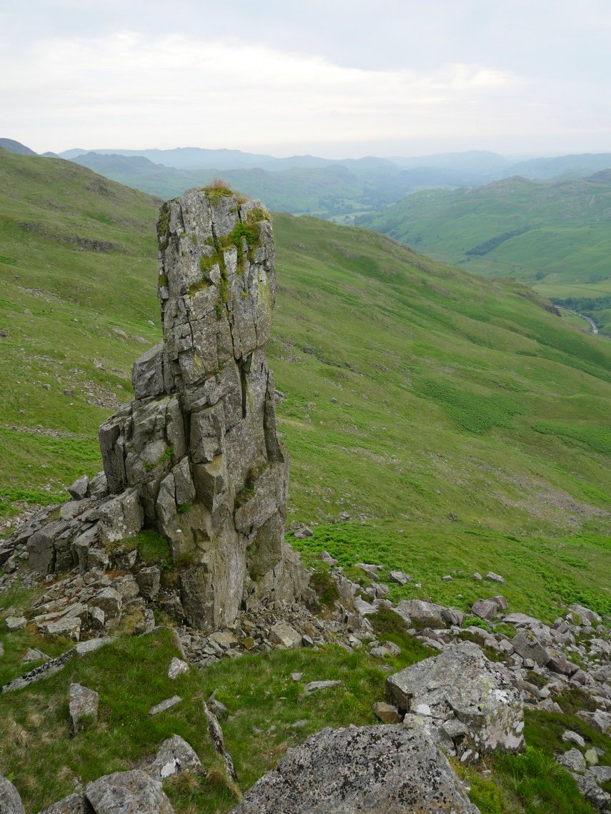
The Needle with the fields of Eskdale beyond.
After climbing up the fellside from the Needle I was so close to Hard Knott I thought I might as well have a visit.
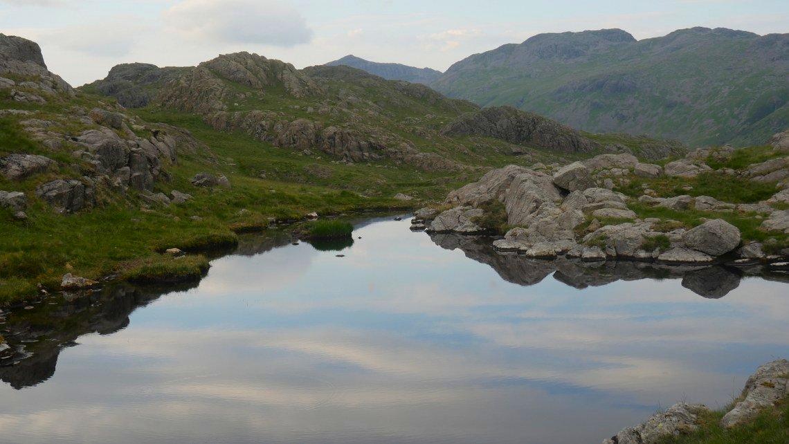
From Hard Knott I made my way across to Raven Crag tarn where I have camped a few times but today I decided to spend the night further up nearer the summit of Border End. This looking over to the top of Bowfell with Crinkle Crags and Stonesty Pike to the right.
.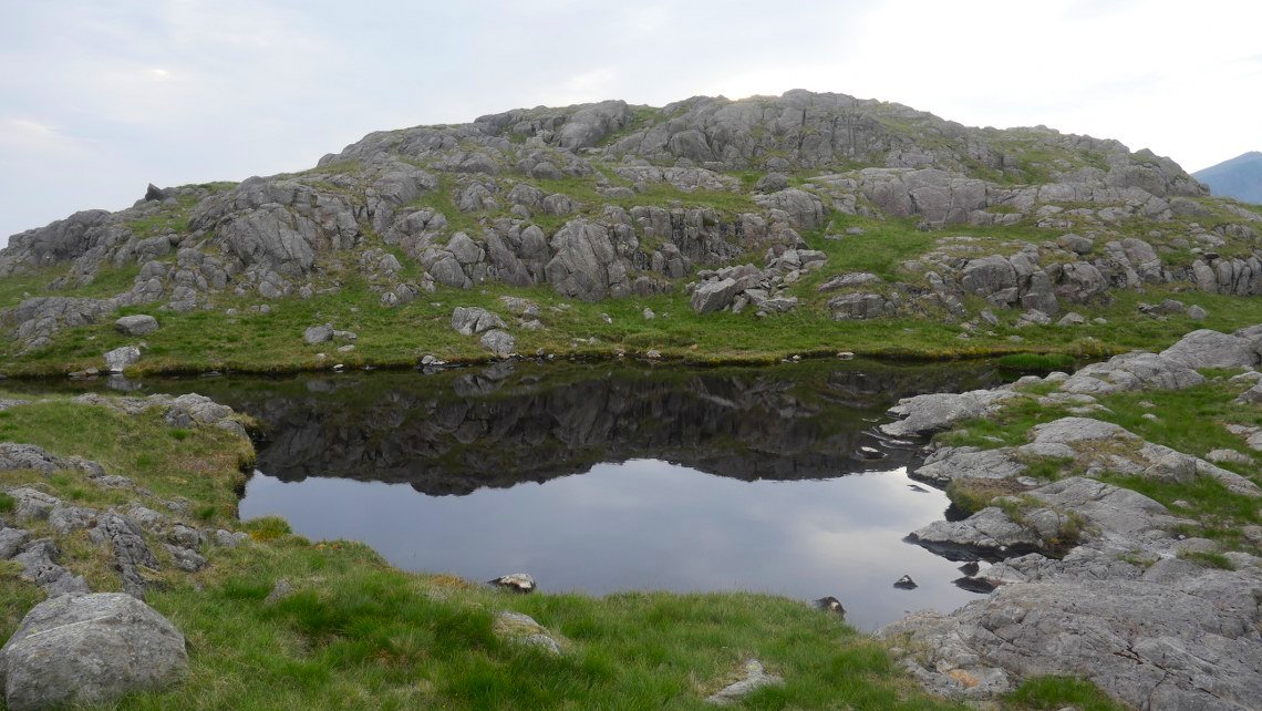
The tarn is a beautifully situated and very peace full place.
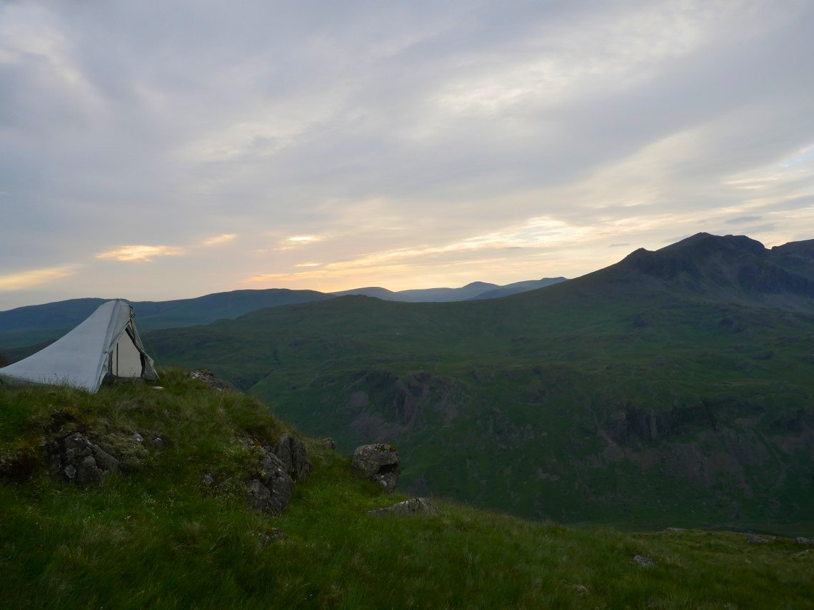
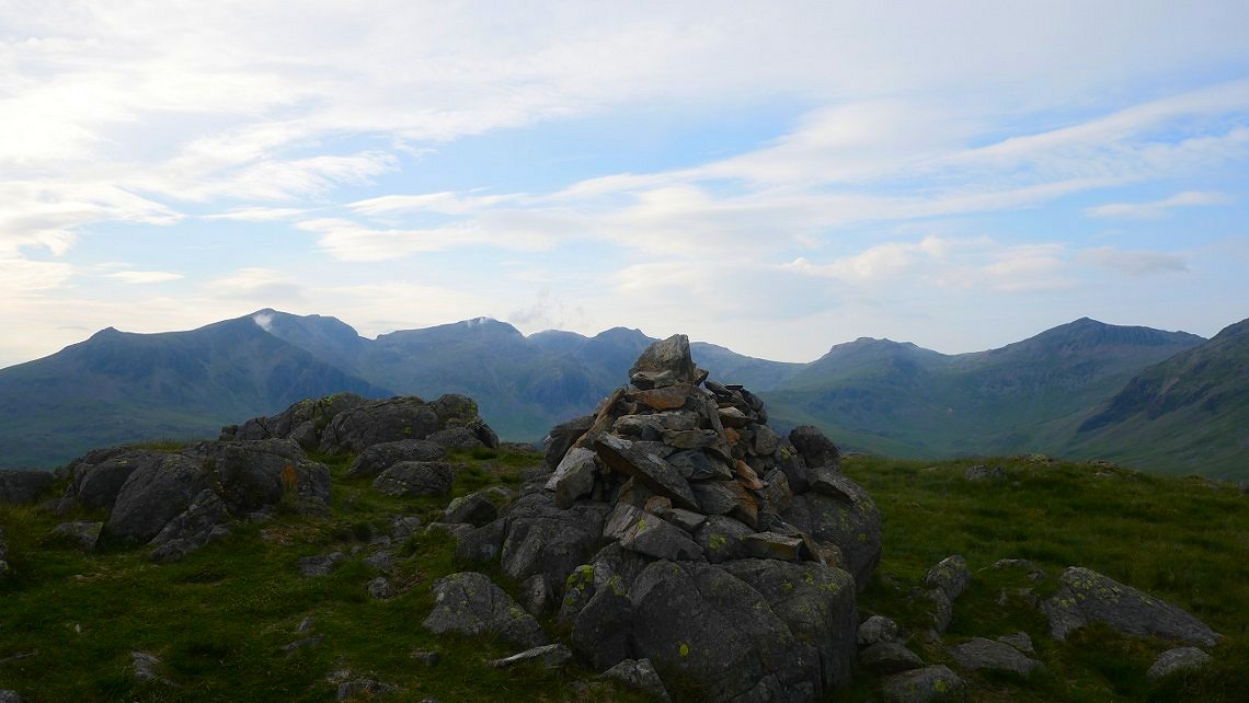
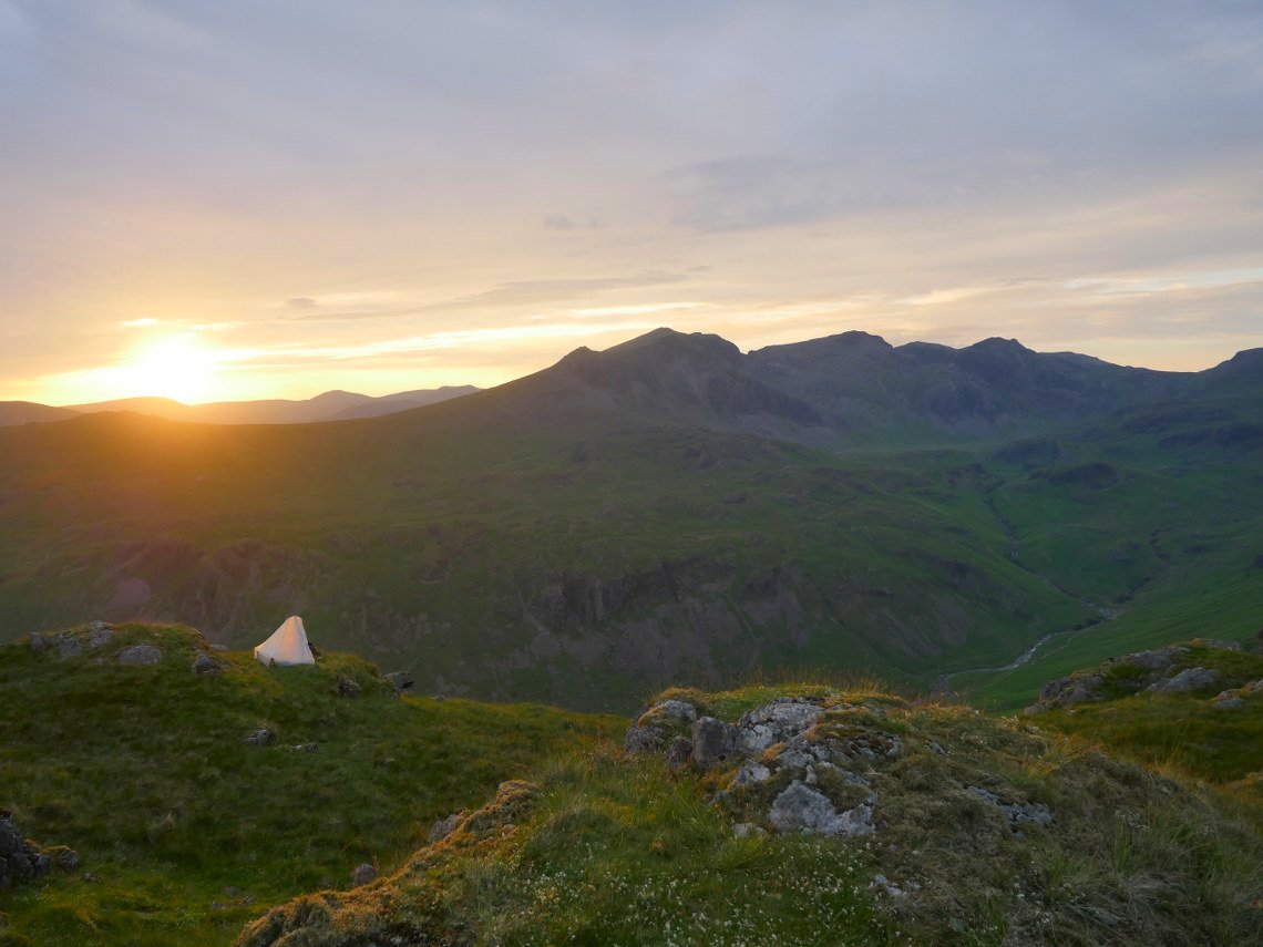
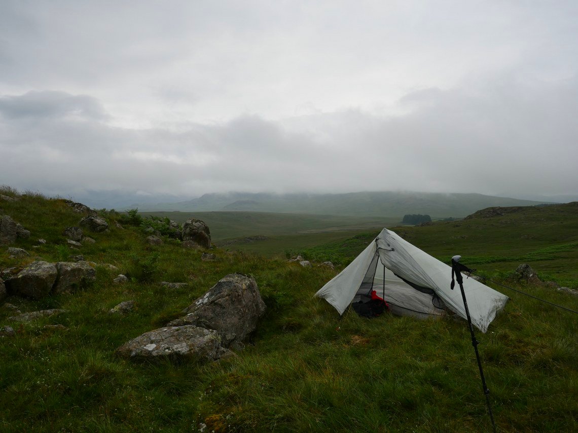
I passed over the summit of Border End and found a pitch overlooking the valley.
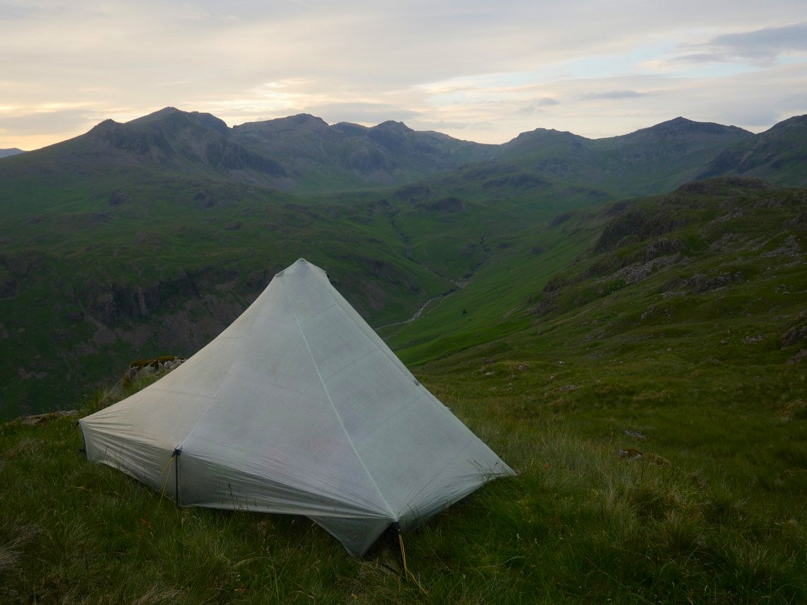
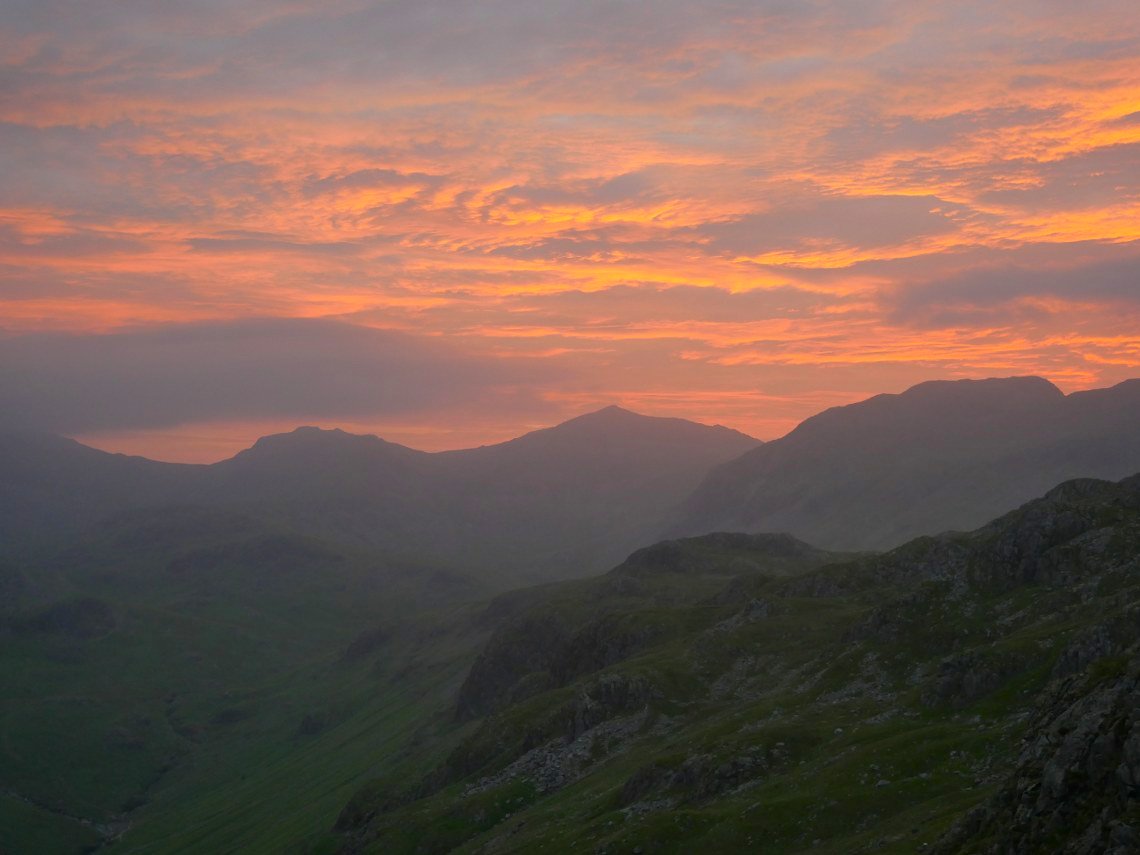
I love this view of England's highest ground starting with Slight Side on the left then Scafell, Broad Stand, Mickledore, Scafell Pike, Broad Crag, Ill Crag, Esk Hause, Esk Pike and Finally Bowfell.
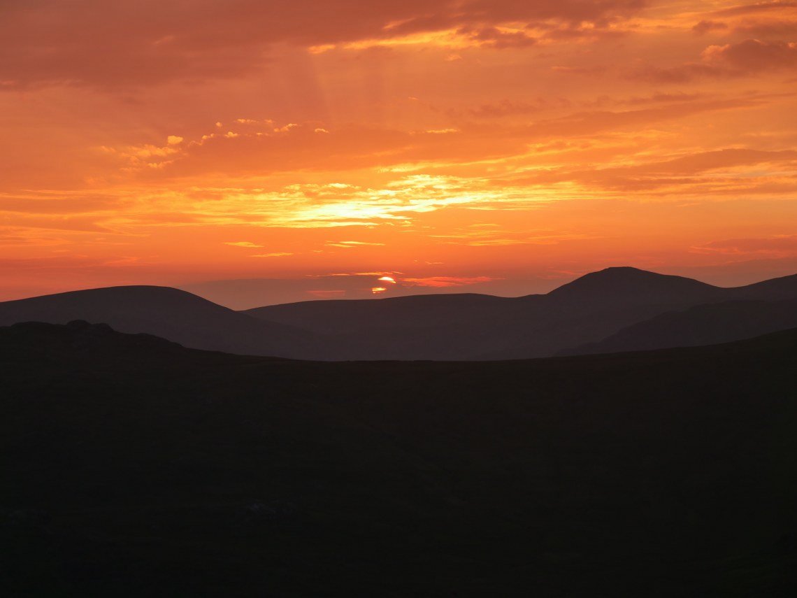
I thought it might be a bit too overcast for a nice sunset but the sky cleared and I was treated to a lovely few minutes.
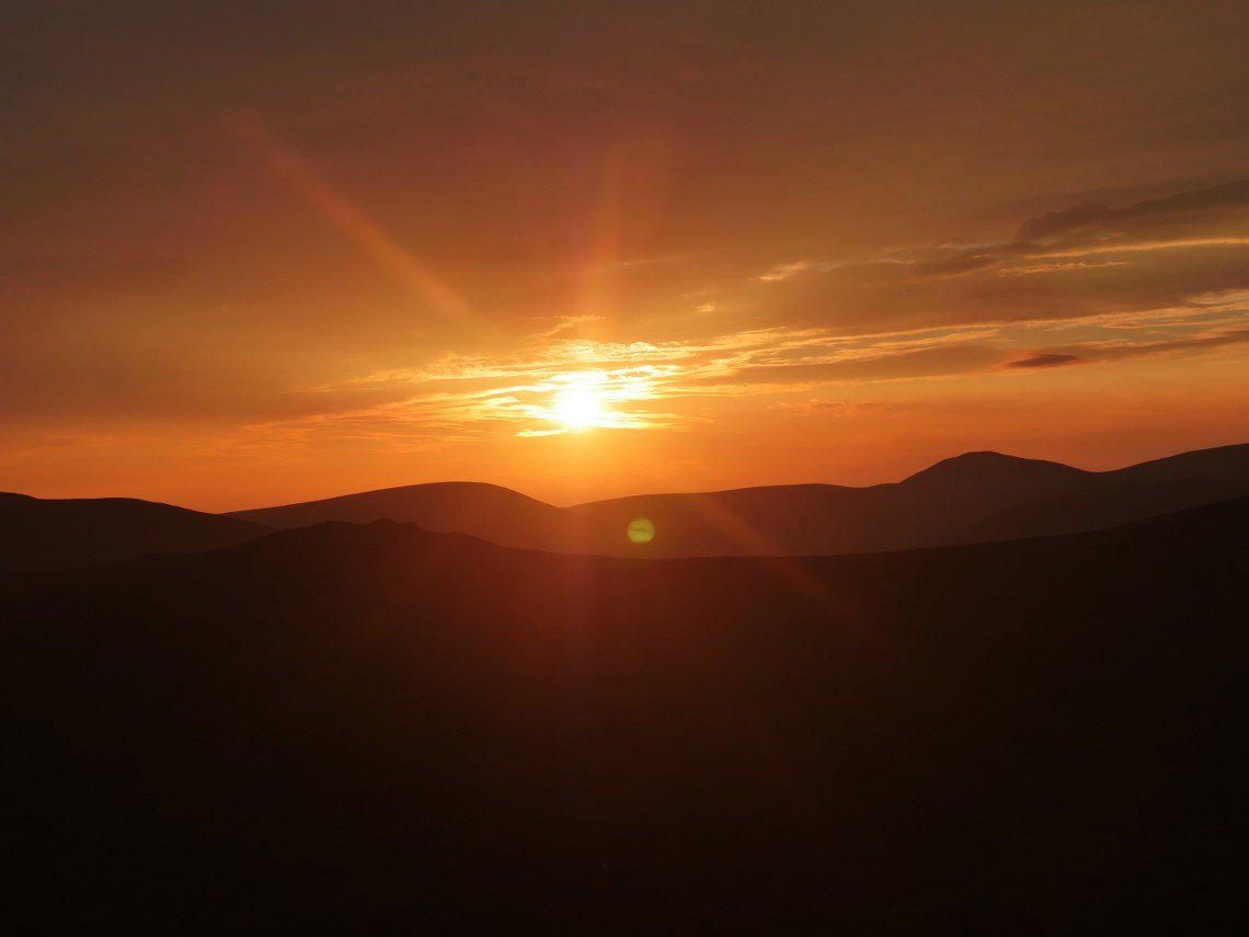
Seatallen and Haycock flank the setting sun.
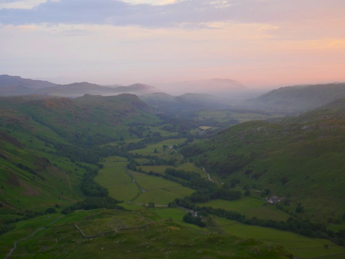
I had a walk over to the Eskdale side of Border End, the fort is below and an evening mist is moving in to the valley.
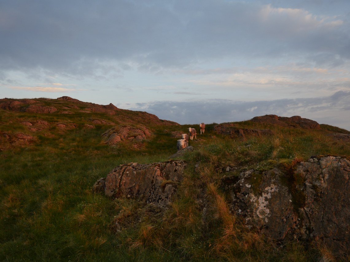
When returning to my tent I became aware that I was being followed.
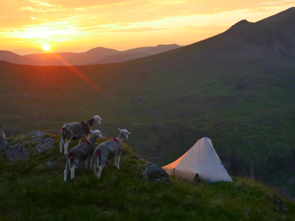
" Looks like squatters have moved in, that's the neighbourhood gone then"
After reassuring the sheep that I was only here for the night and would leave no trace I enjoyed the last of the setting sun.
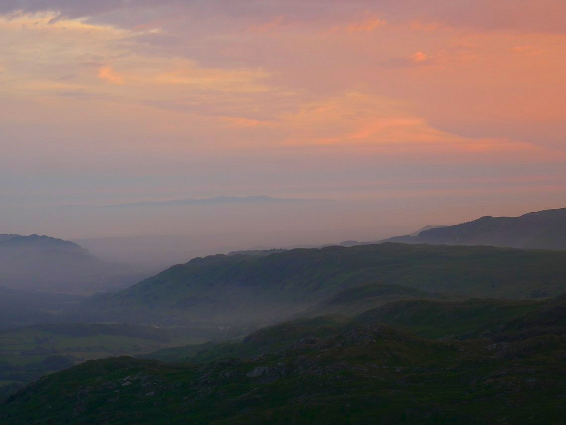
The Isle of Man floating above Eskdale.
A final look at the high ground after the sun has set. .
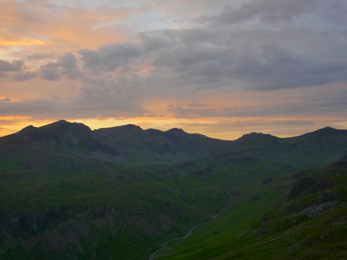
A lovely morning sky above Esk Pike, Bowfell and Crinkle Crags.
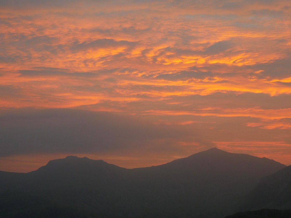
Zooming in on that sky.
I walked down the road to Jubilee Bridge where after meeting with April and Beefy I drove my car to the summit of the Corney Fell road where unfortunately it started raining and didn't stop until the early afternoon.
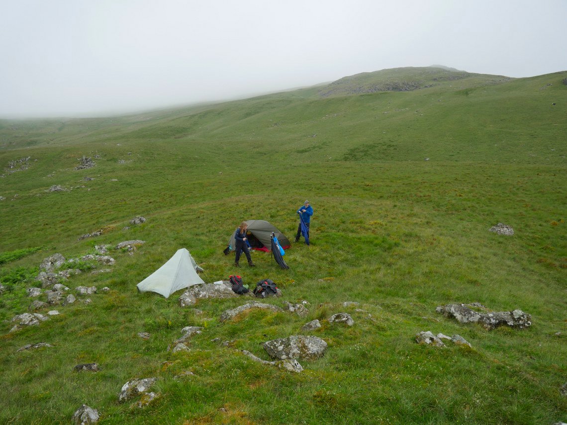
Dispute the rain we had a great walk, catching up with each others news and before too long we were dropping down the hill to Devoke Water. It was too early really to put the tents up but we didn't think anyone would be about.
After a pretty dramatic night with heavy rain and thunder and lightening it was thankfully dry as we packed away and set off for Eskdale.
We decided that given the weather we would take a more direct route to the valley and could have a look at the new viewing platform recently installed above Stanley Gill waterfall.
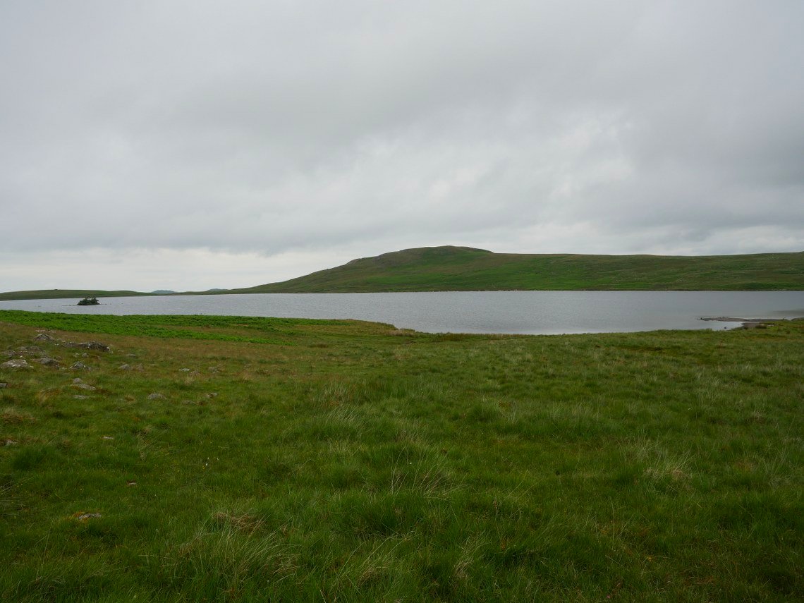
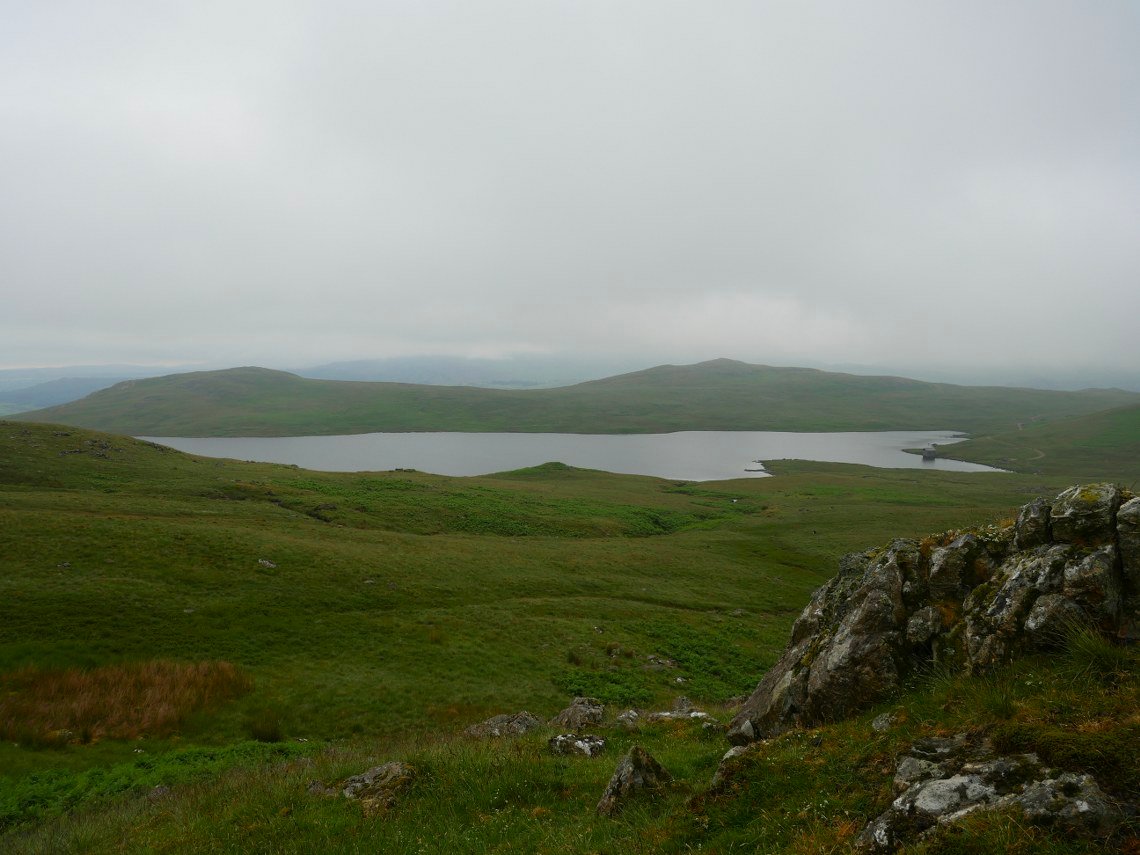
Devoke Water and Water Crag.
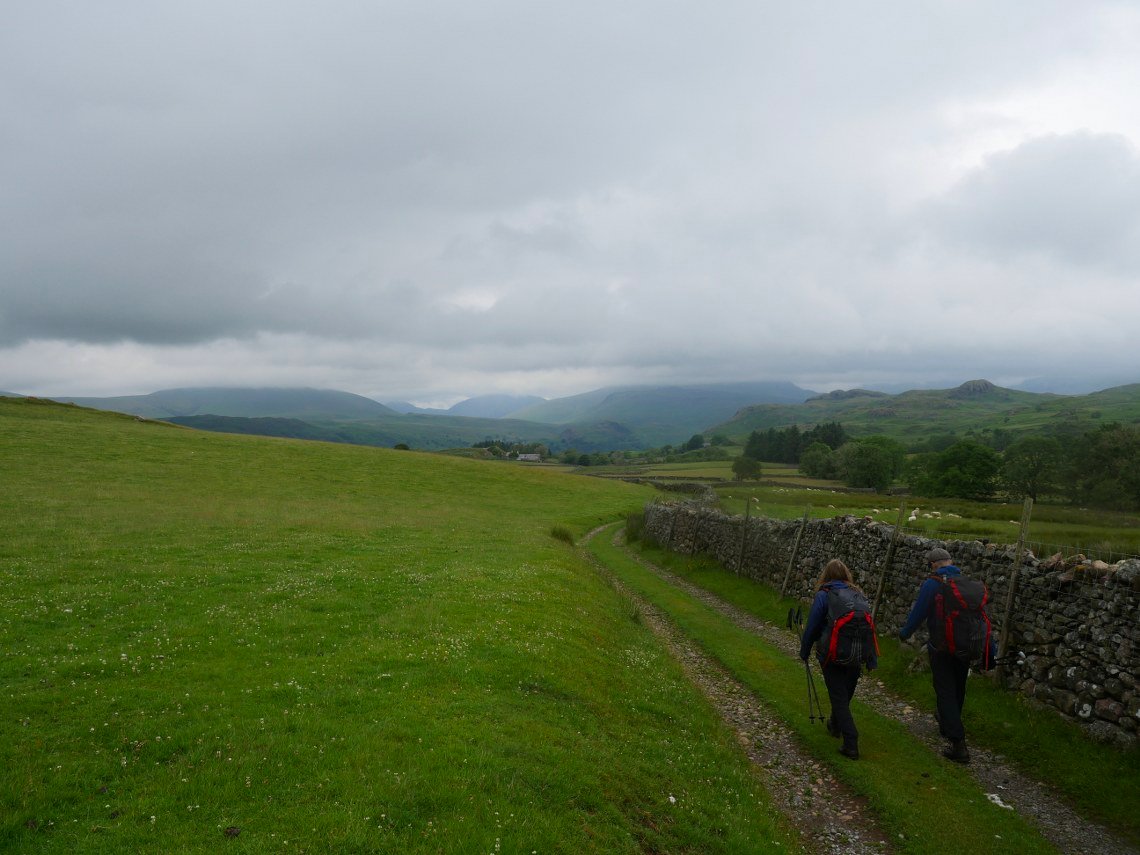
It was dry and quite nice as we made our way on easy paths through the farms at High and Low ground.
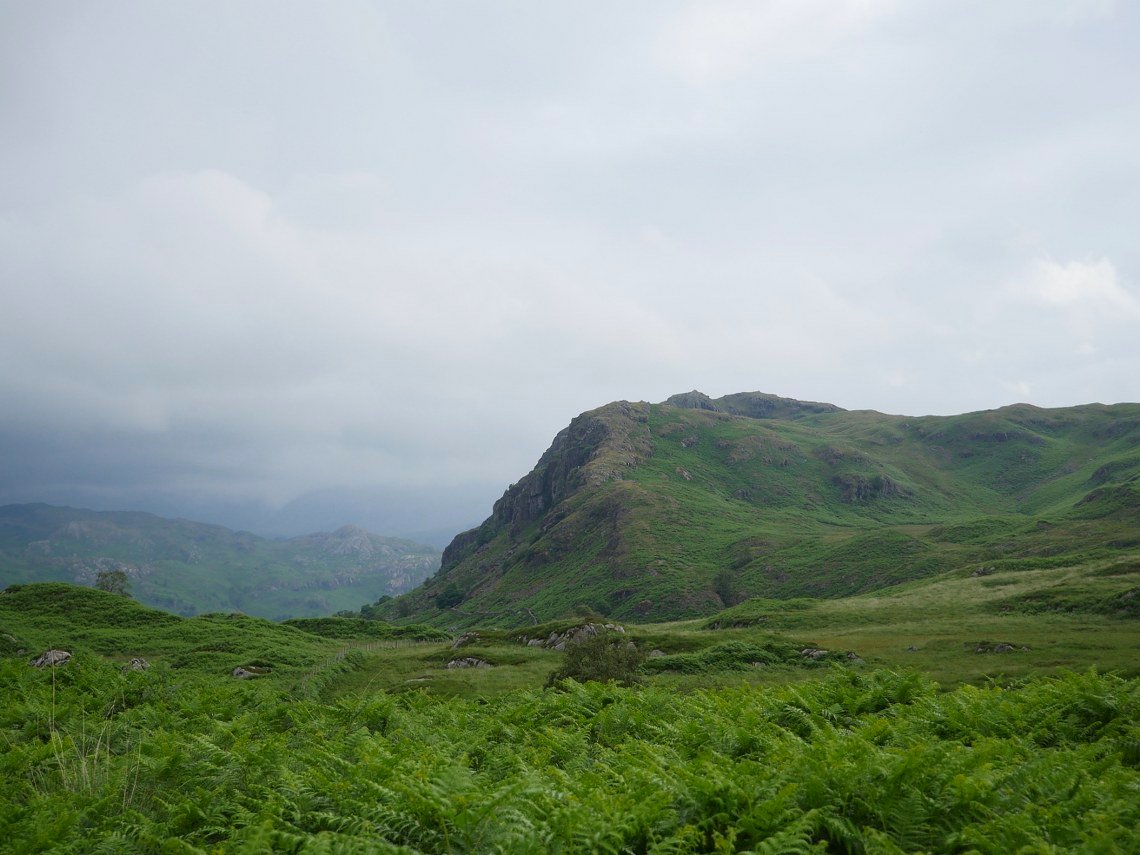
Looking over to Hartley Crag which we thought looked a nice place to camp
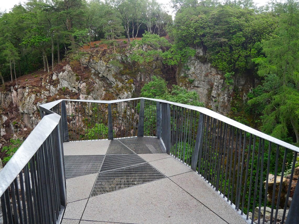
This is the new platform constructed above Stanley Gill. It's a nice piece of engineering but was it really necessary to add this to an unspoilt place ? I presume it's part of the national park's drive to attract the Instagram generation.
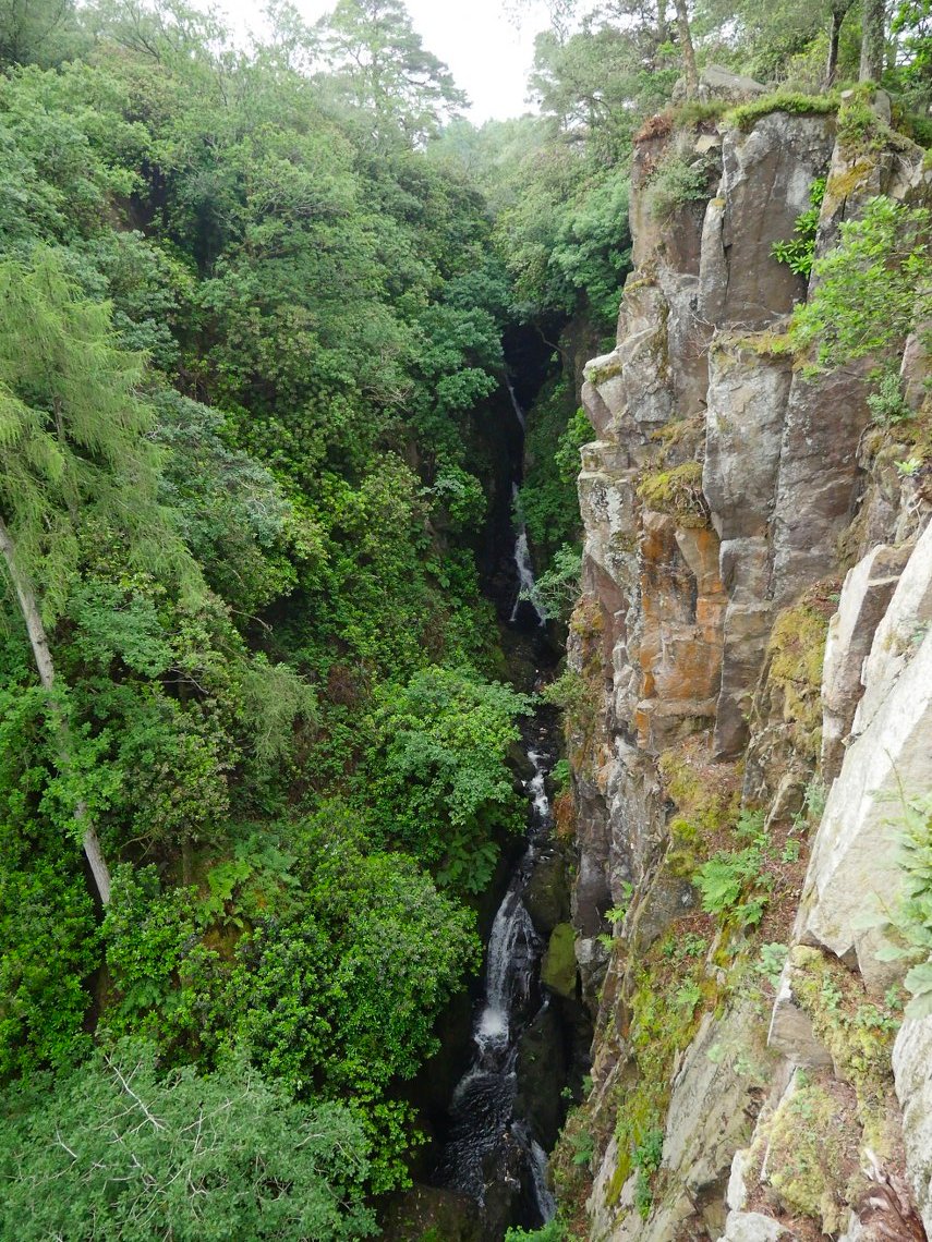
The view of the top falls from the platform.
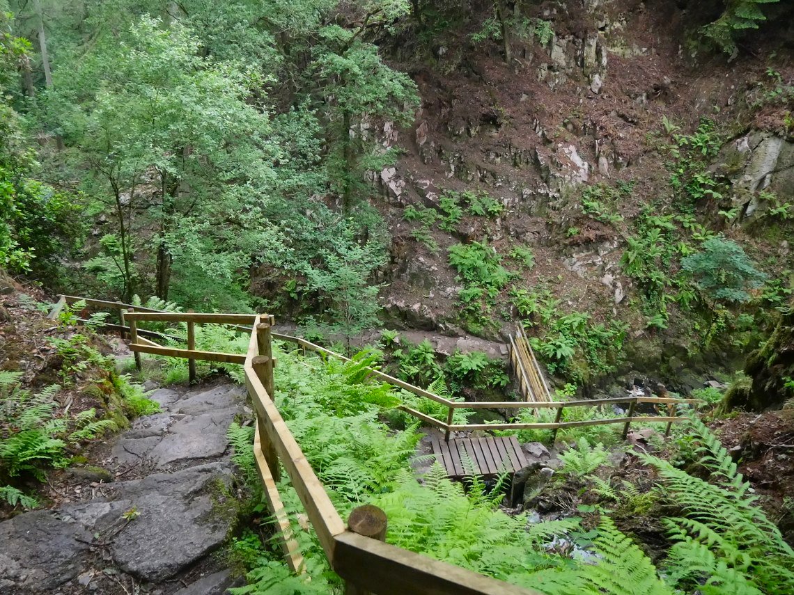
Coming down the winding and slippery path to the lower falls.
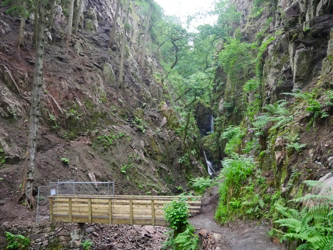
A rockfall has destroyed the thin path to the viewpoint of the lower falls so the route is closed off.
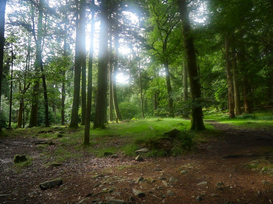
We stopped in the trees for a break as at valley level it was incredibly humid and just after I took this photo a heavy rainstorm passed over.
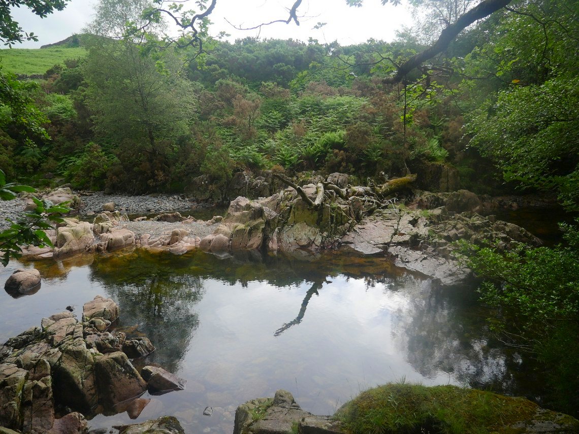
Following the lovely path along side the Esk. Although there was no ascent the walk was very hard work as we had brief torrential rain followed by steaming hot humid weather and we were glad to reach April's car at Jubilee Bridge. .