WWW.KARLSWALKS.CO.UK
PICTURES AND TRIP REPORTS FROM MY WALKS IN THE ENGLISH LAKE DISTRICT
|
|
|
|
||||
|
|
|
|
|
|
|
E-mail - karl@karlswalks.co.uk |
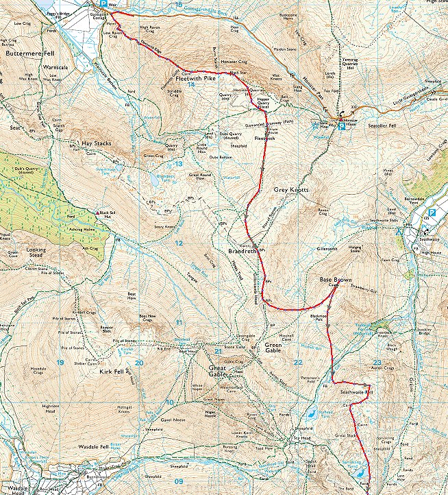
The lovely weather we have had recently was all the spur I needed to get out for my first night on the fells since October. I planned a route which took in a few Wainwright tops that I needed towards my 4th round and visited a few old favourites and explored a couple of new ( to me ) paths.
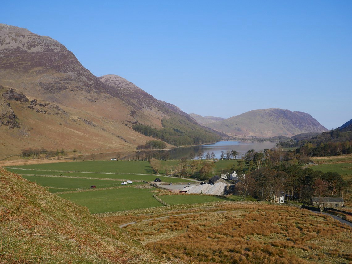
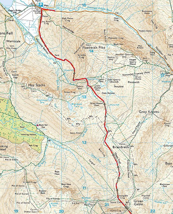
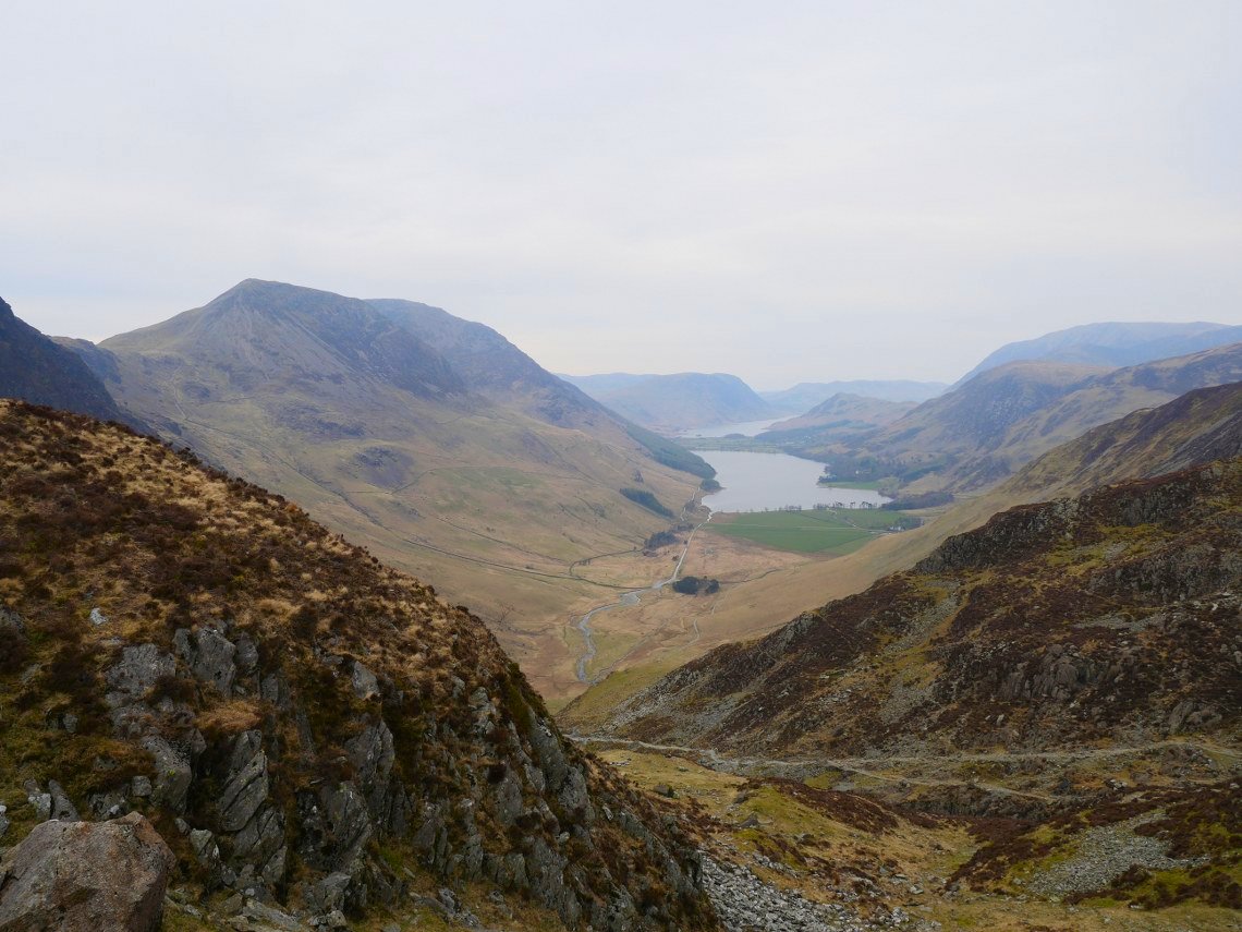
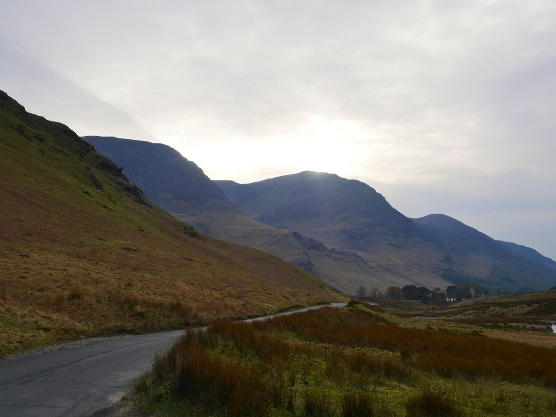
Nabbing one of the roadside spots on the Honister pass road I set off up the strenuous climb straight up the nose of Fleetwith Pike. Buttermere and the fells about looking lovely in the fresh morning air.
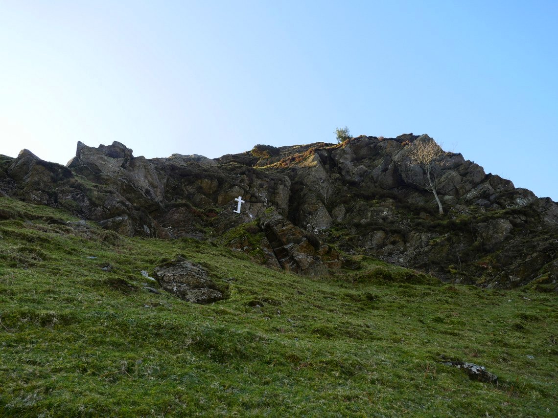
In my memory the Fanny Mercer memorial is a lot further up the hill but is actually quite near the bottom.
A mickey taking local encourages me with " not far to go..you're nearly at the top."
I'm not sure that was entirerly truthfull.
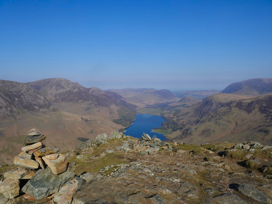
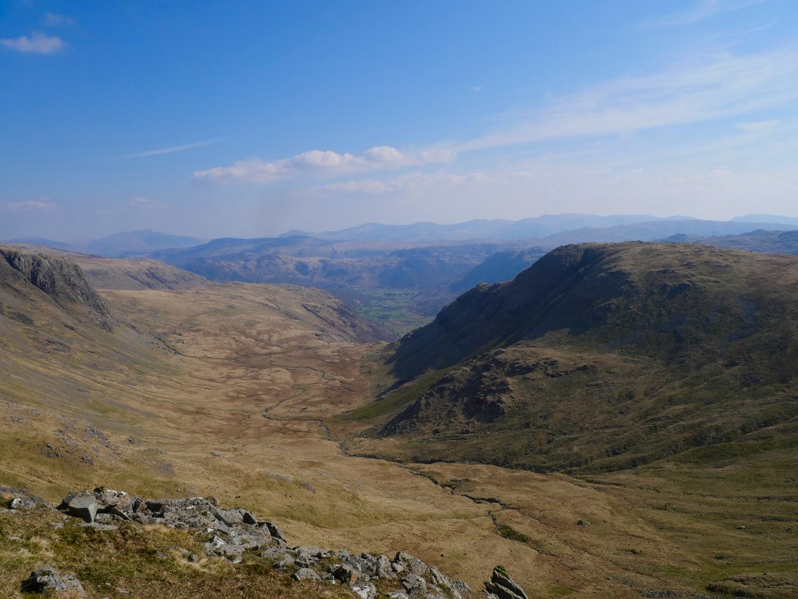
Eventually I am at the top and the view is worth the climb.
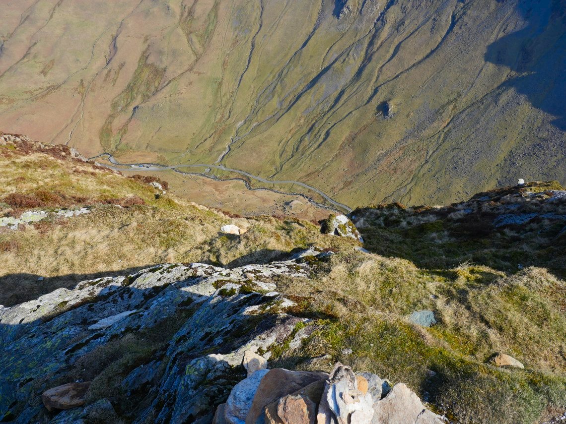
After getting my breath back I make the short detour to the top of Black Star from where I always enjoy the leg wobbling view down to the road.
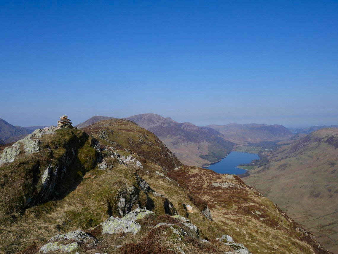
Looking back to Fleetwith from Black Star.
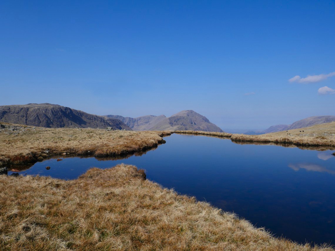
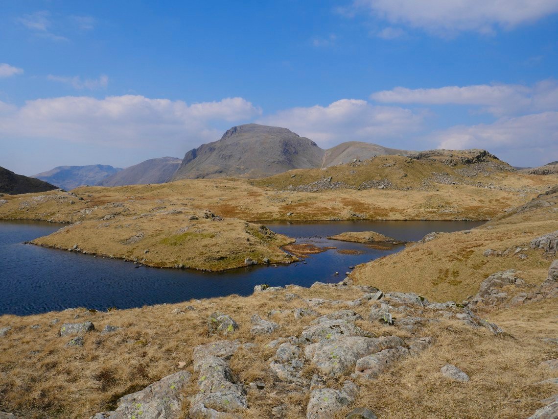
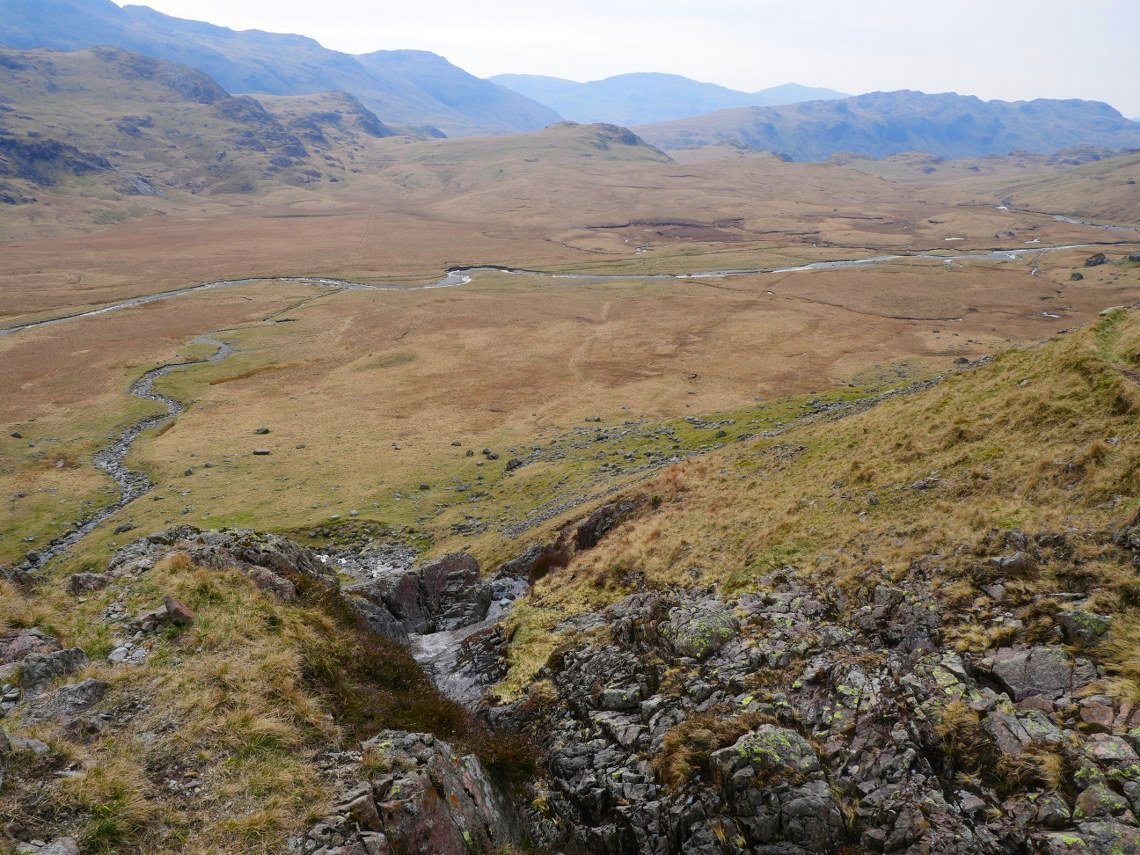
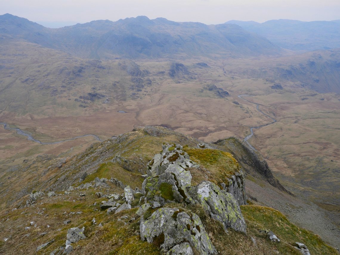
From Black Star it's an easy stroll down across the moor followed by a short climb to Gillercomb Head, where there are several lovely pools from one of which I took this picture of Kirk Fell on the left then Scoat Fell and Pillar.
Base Brown seen here on the right on the other side of the hanging valley of Gillercomb and as I'm lazy I don't walk all the way to the top of the hill to descend but find a way across the top of the valley.
.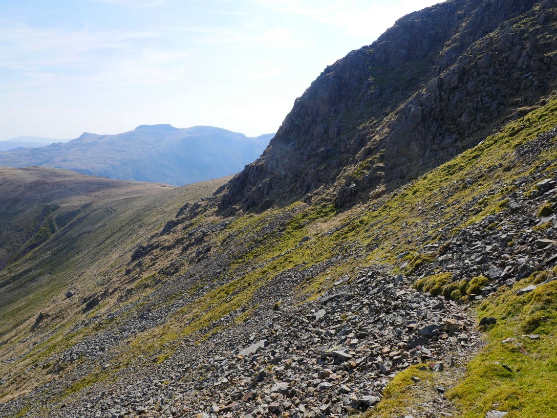
It does look that I'm not he only lazy one as there is a thin path threading it's way through the scree and crags.
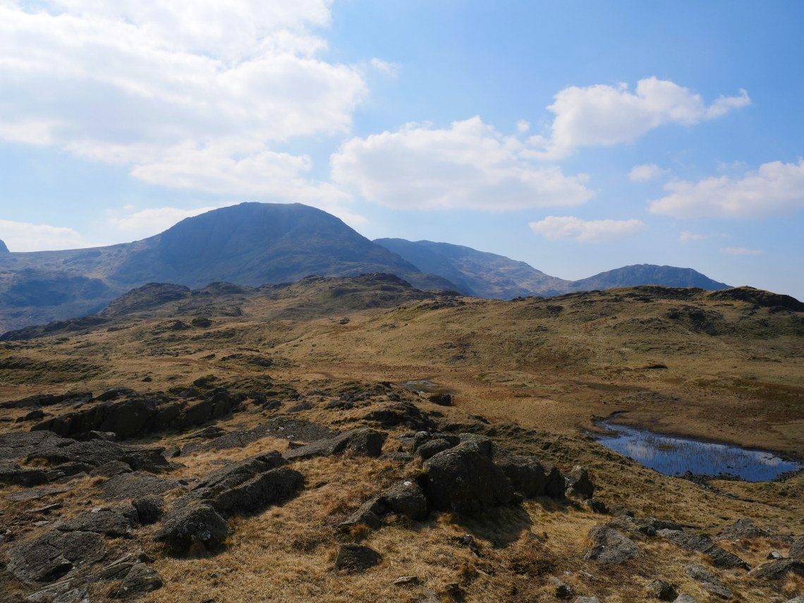
On to Base Brown now looking over Green Gable to the very top of Great Gable,
I next wanted to visit Seathwaite Fell so walked a slanting pathless route down the side of Base Brown and climbed up to the Wainwright top of Seathwaite Fell ( which is the highest ground on the left ) by way of the slanting ramp you can see running from bottom right.
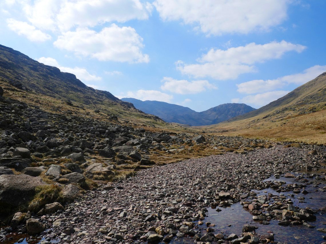
With all the dry weather recently, crossing Styhead beck was no problem. Scafell Pike and Lingmell form the horizon.
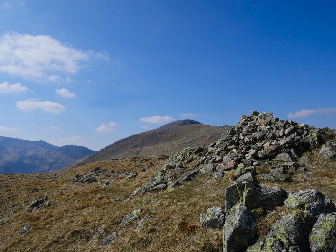
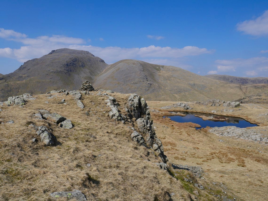
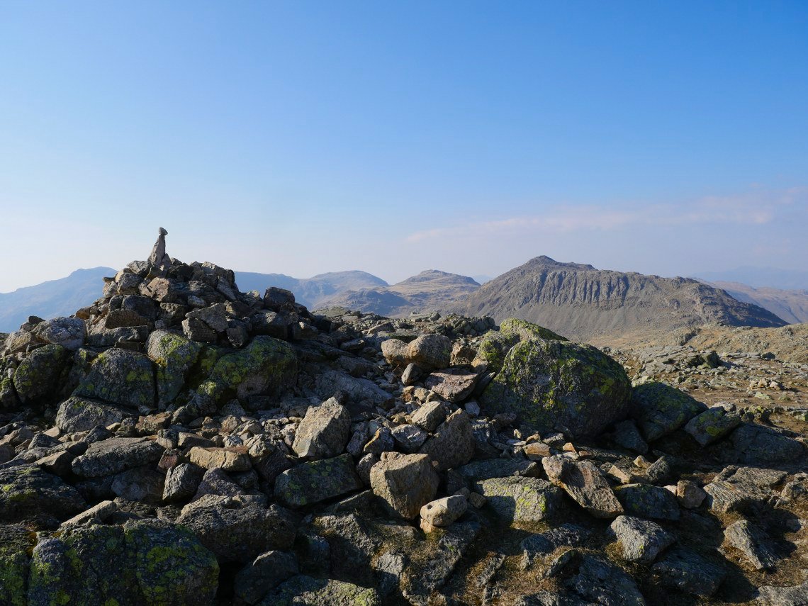
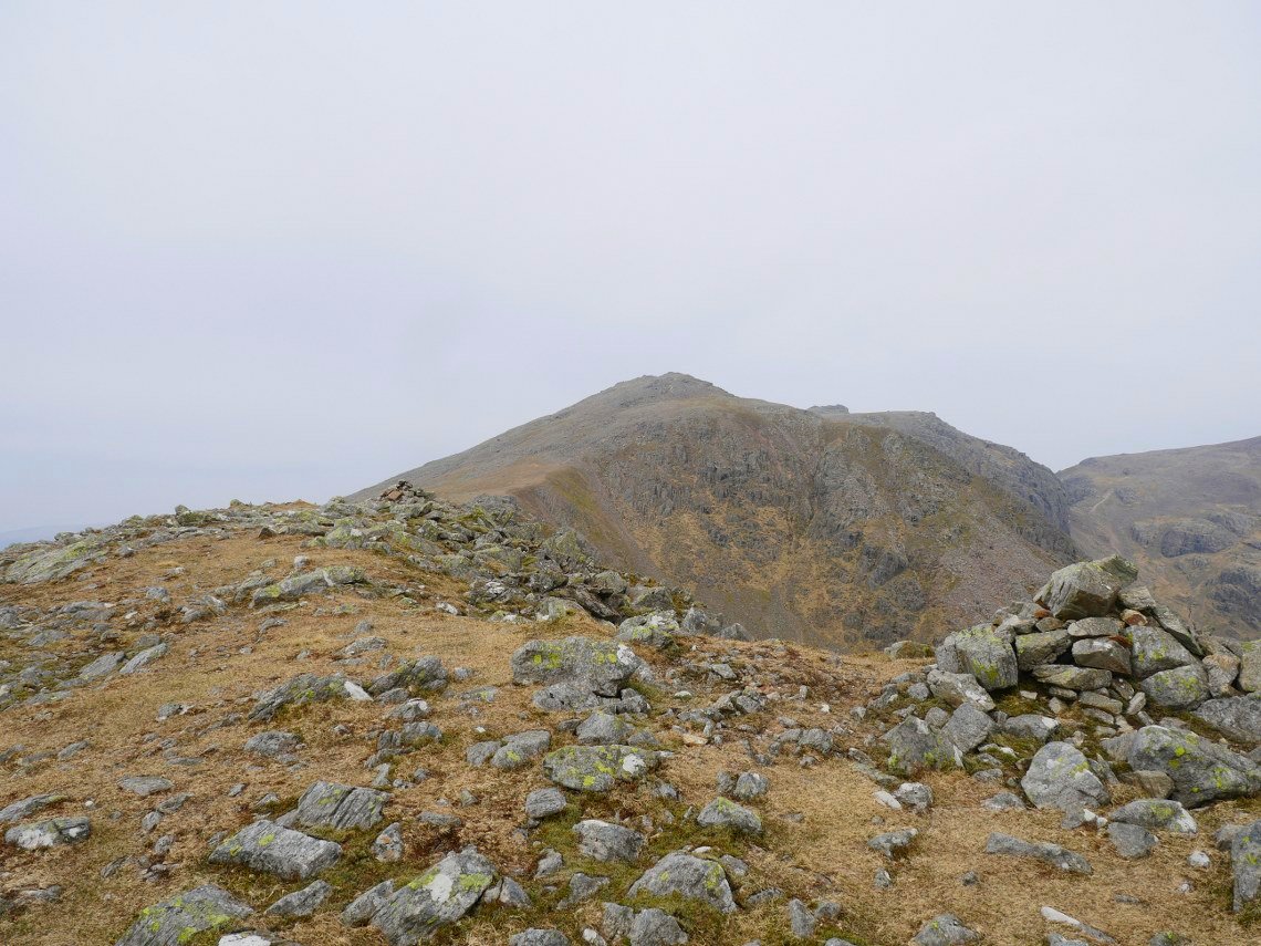
On the Wainwright top now looking over Seathwaite Fell's actual summit to Great End.
Seathwaite Fell is a lovely and interesting fell dotted with lots of mini tarns and rocky knolls. This is a view of the Gables from a cairned top just before the summit.
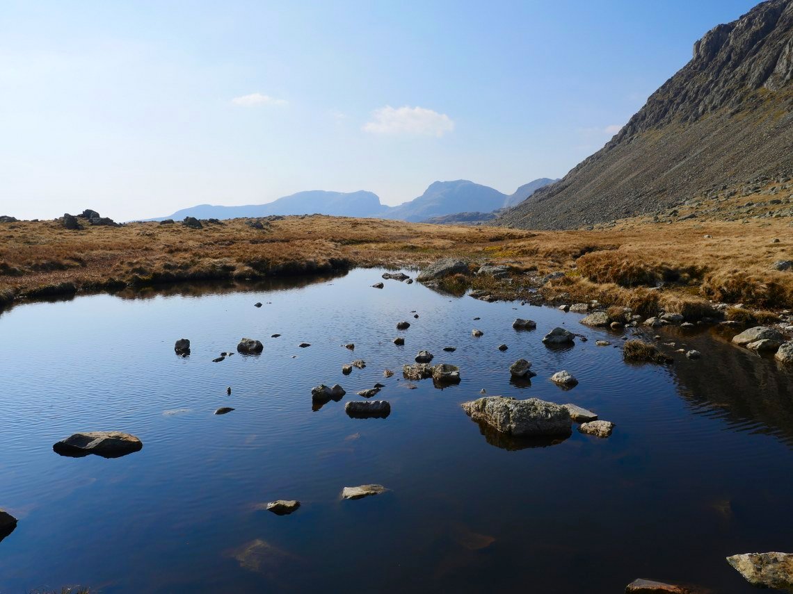
Heading out along the fell you pass this beautiful unnamed tarn.
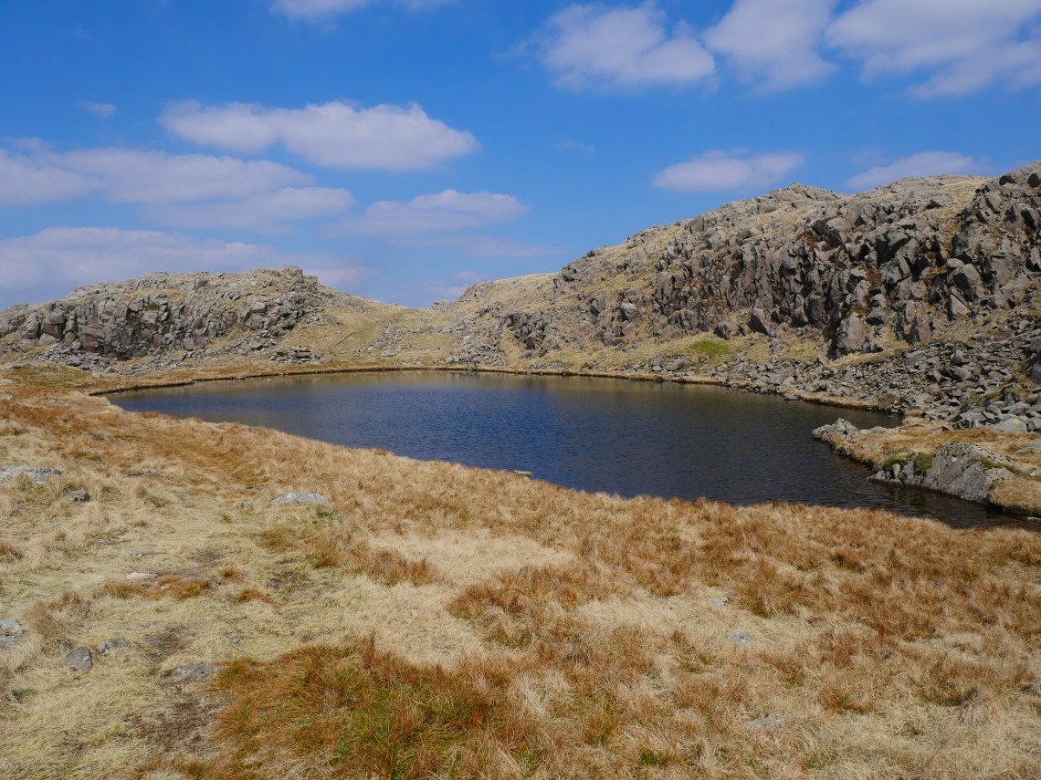
Before reaching one of Lakelands most well known tarns. Sprinkling Tarn.
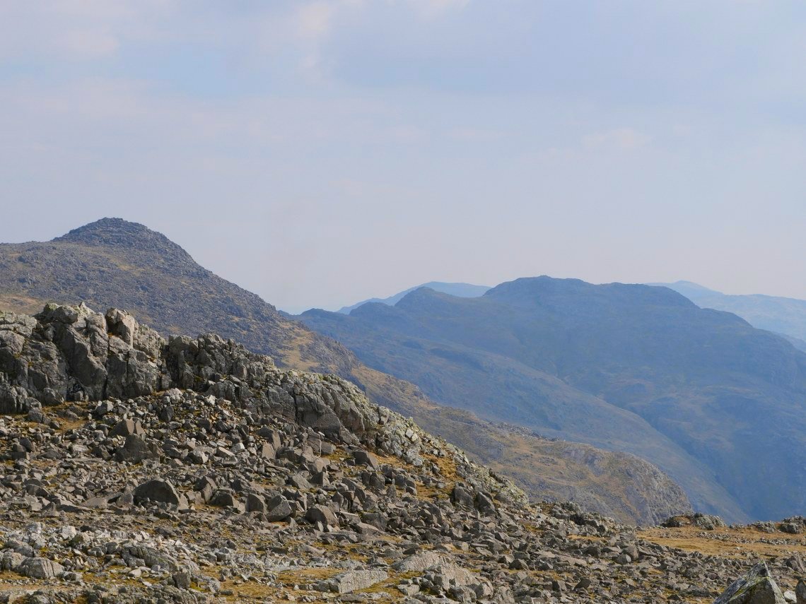
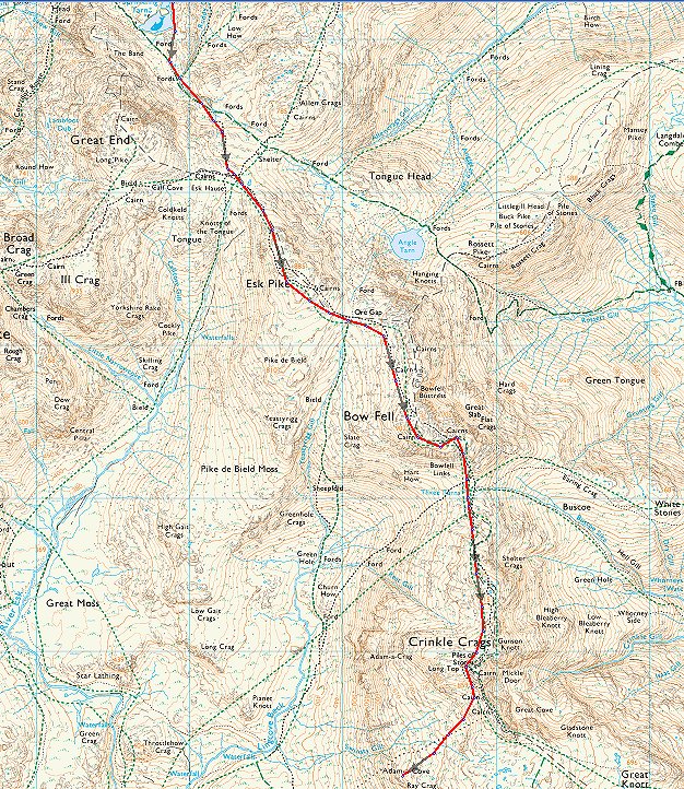
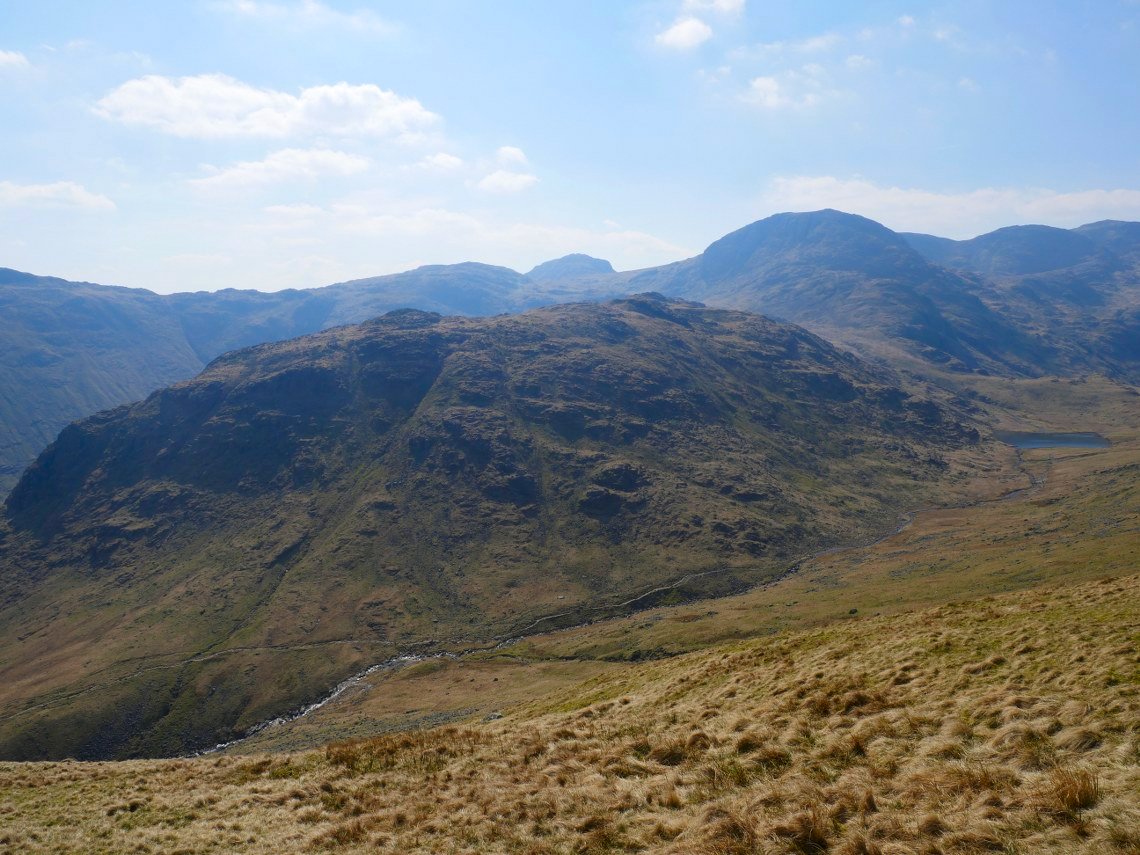
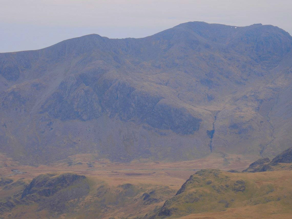
From the tarn it's quite a pull up to Esk Hause followed by an even steeper pull up to Esk Pike where I took a well earned brew stop. I've still got Bowfell and Crinkle Crags to climb yet and here they are in a line waiting for me. From here it's easy to see how Crinkle Crags got their names.
The brew stop had perked me up and the climb to Bowfell passed quite quickly and I even had time to go over and take this photo of Great Langdale from the top of the Great Slab. As you can see the afternoon has become quite hazy.
The Scafell group seen across one of the tarns at Three Tarns.
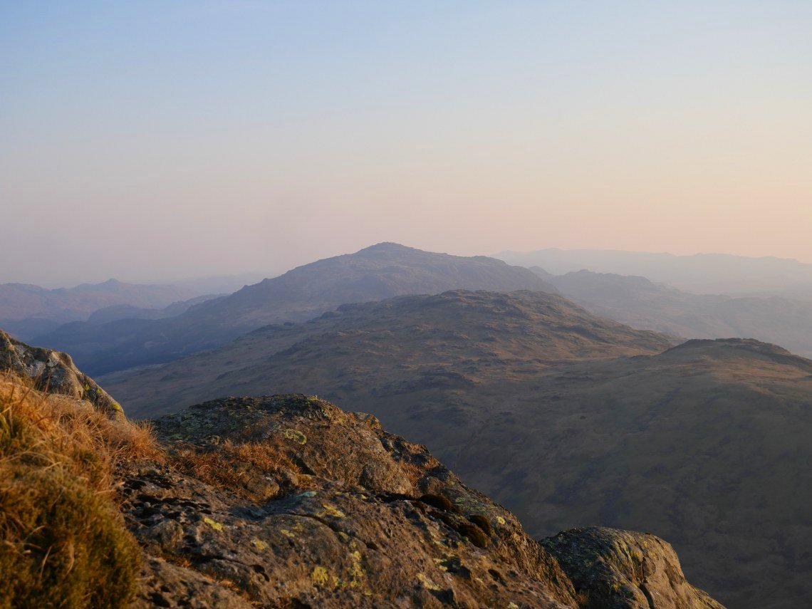
The mid afternoon brew stop effect has worn off and it's quite a slog over the Crinkles but eventually I'm standing on Long Top the highest of the Crinkle Crags.
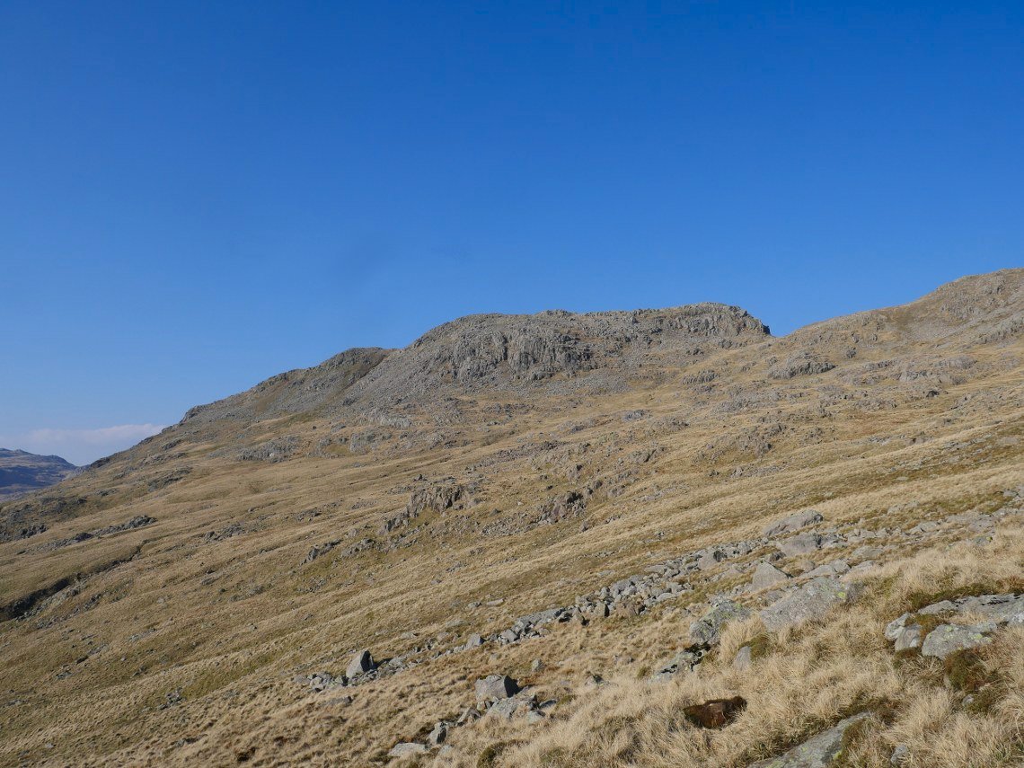
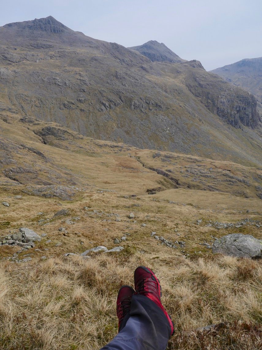
Now it's all down hill to my camp site at Adam-A-Cove which I discovered when I came this way in October. This is looking back to Long Top.
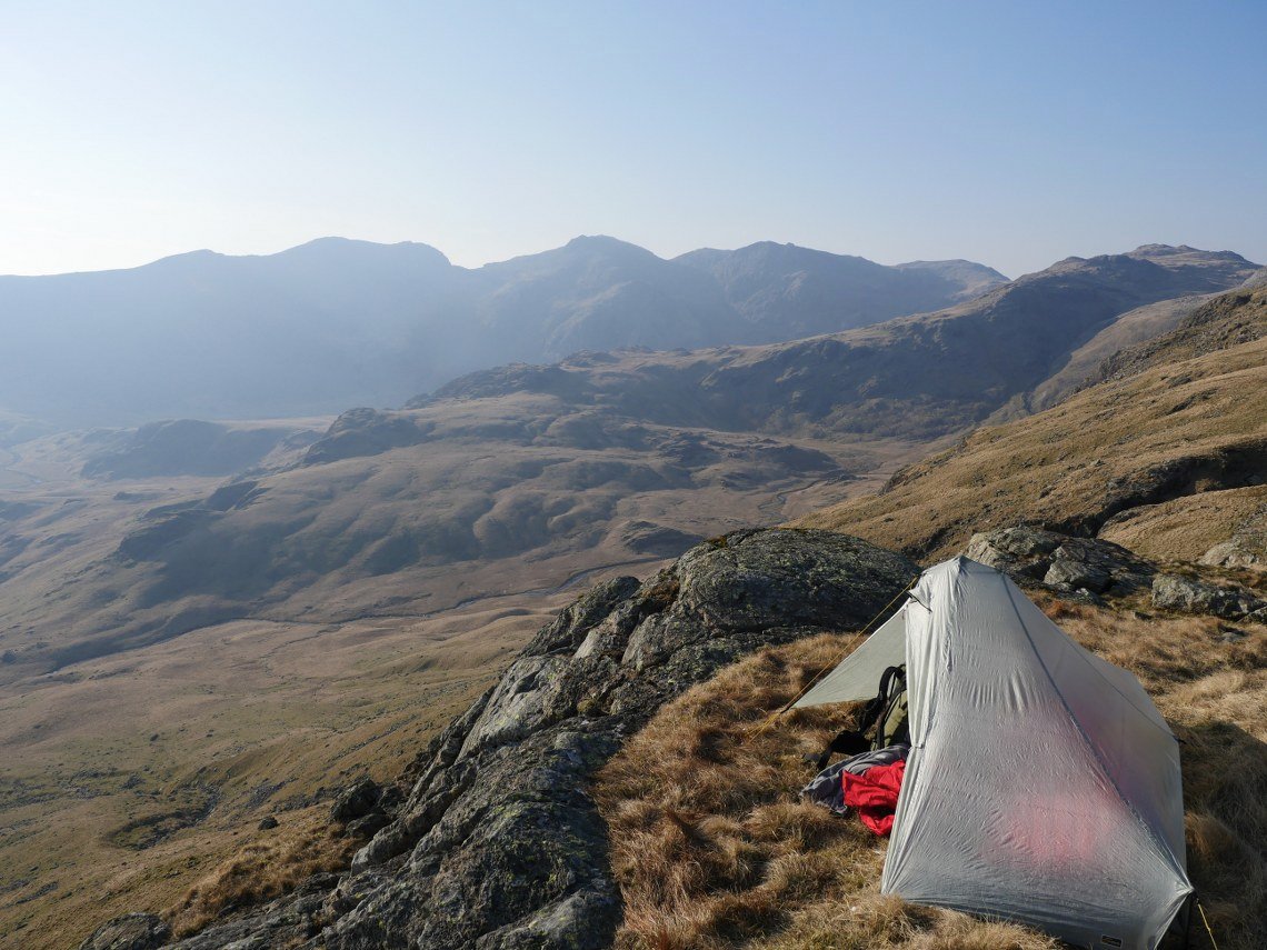
Nice view of the Scafell Pikes from my camp site, although perhaps not the place for you if you are prone to sleep walking.
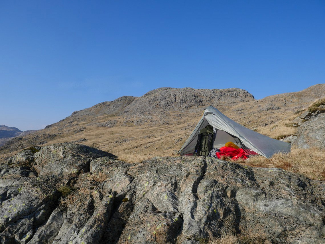
The view back up the hill.
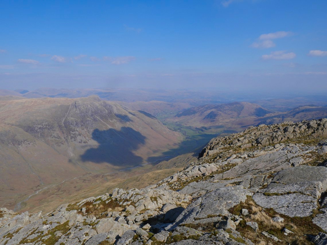
After tea I settled down to watch the sunset. There is nice light over Hard Knott and Harter Fell.
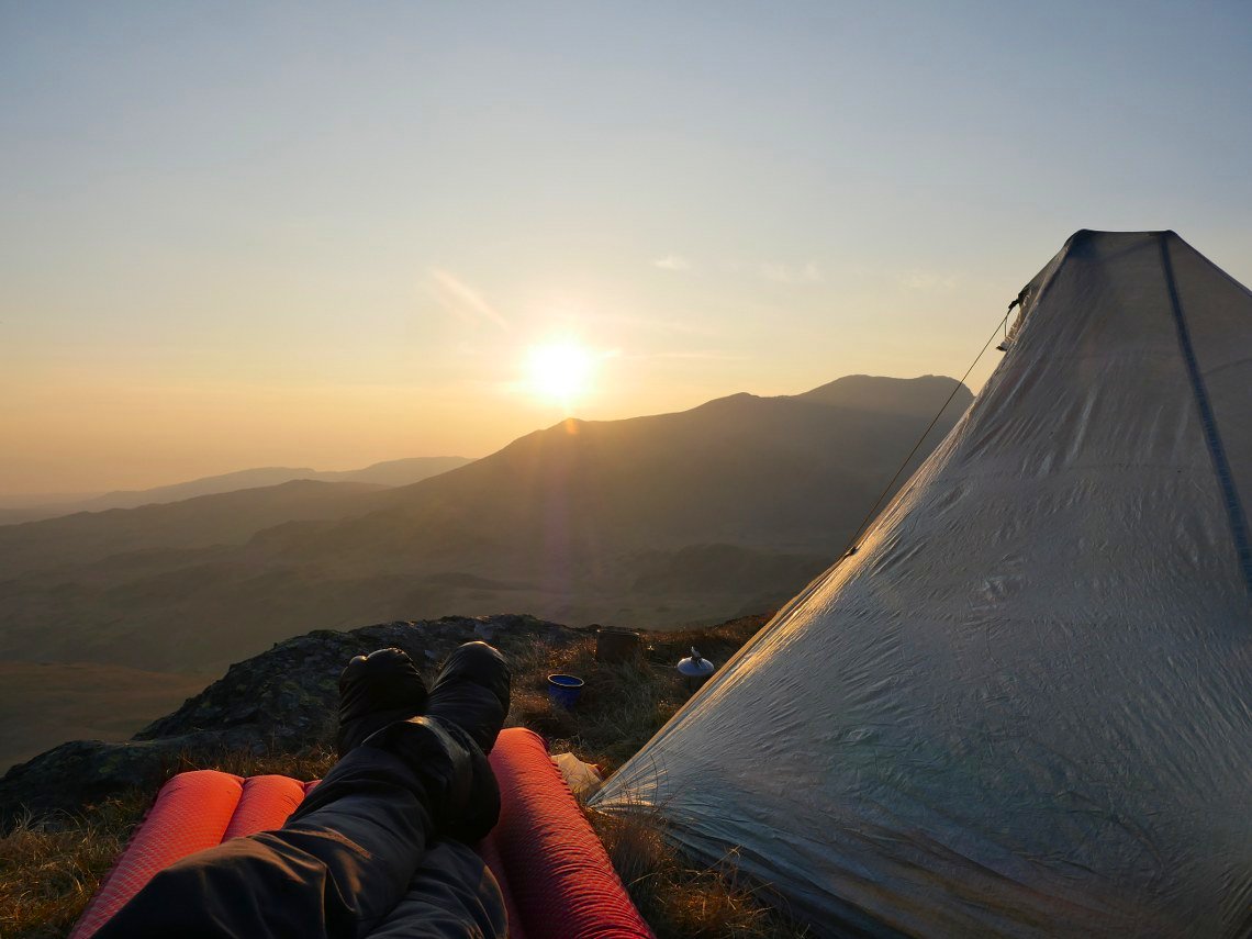
It was a lovely couple of hours stretched out on my sleeping mat looking to the sun setting behind Slight Side.
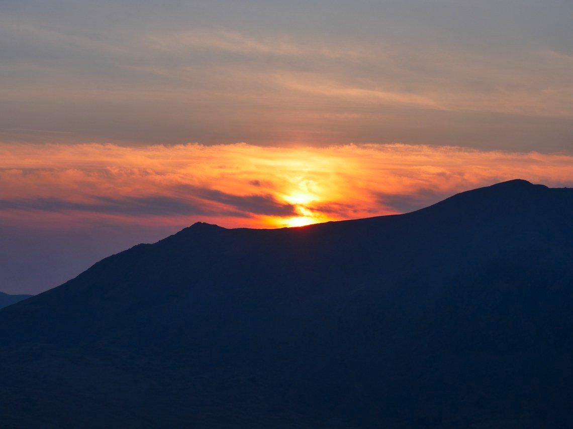
Later in the evening a bank of thin cloud appeared which always adds to the spectacle of a sunset.
The sun has set now with just the glow behind the full line of Scafell range.
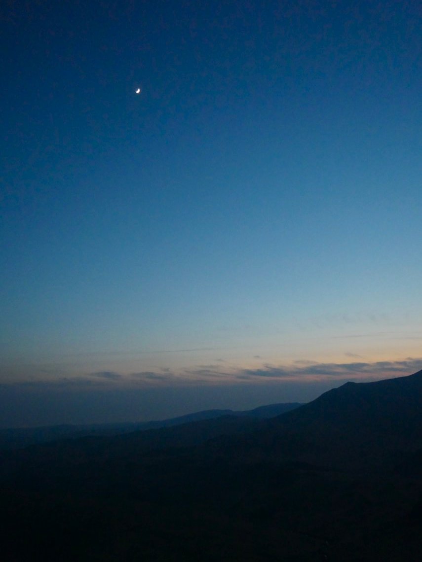
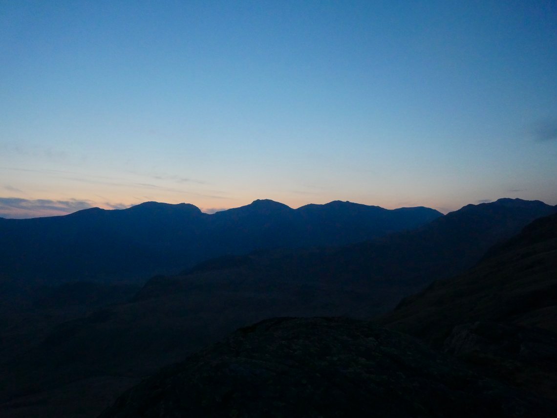
Whilst looking at the moonrise I was thinking that my car seems a long way from here and there are a couple of tasty mountains in between me and it but I can think about that tomorrow.

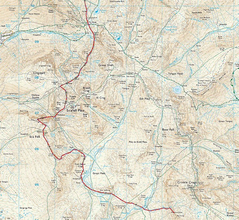
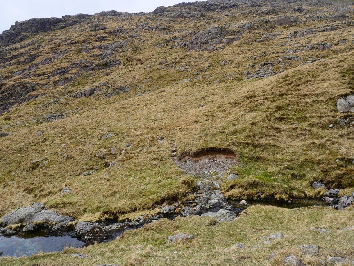
After a great nights sleep on a very comfortable pitch I woke to find that the forecast for extensive high cloud was correct so unfortunately I didn't get to see a nice sunrise and also the light wasn't very good for photography. My route today takes me over the Scafell group, I just wasn't sure exactly which route to take. So I had a think about it as I made the steep descent down to Lingcove Beck.
I decided that I'd try a new route for me which is the climb to Scafell by the Cam Spout ridge which I'm zooming in onto now.
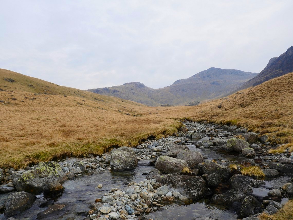
Crossing Lingcove Beck looking to Bowfell.
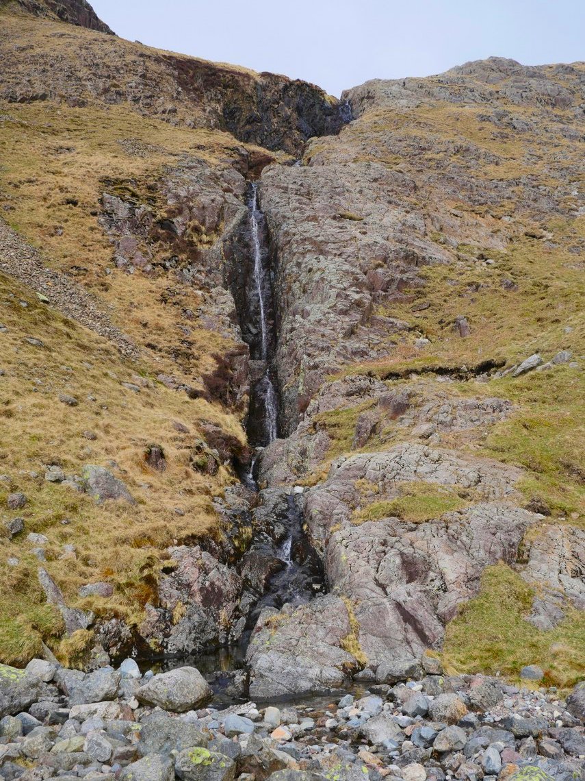
The path meanders its way up and down to the Great Moss and when it passes Cam Spout I head up to the right of the falls. Although it's hard to see from below there is quite a clear path zig zaging up the fell.
Looking back down from the climb.
After the falls I cross over the stream to start the steep pull to the ridge. This is looking up to Mickledore which is the way to go if you were heading for Scafell Pike. ( Or over the other side to descend to Wasdale )
It is a steep climb and despite having eaten a good bit of my food my pack didn't feel any lighter so a couple of pit stops were required. Scafell Pike and Ill Crag are the peaks in front of me.
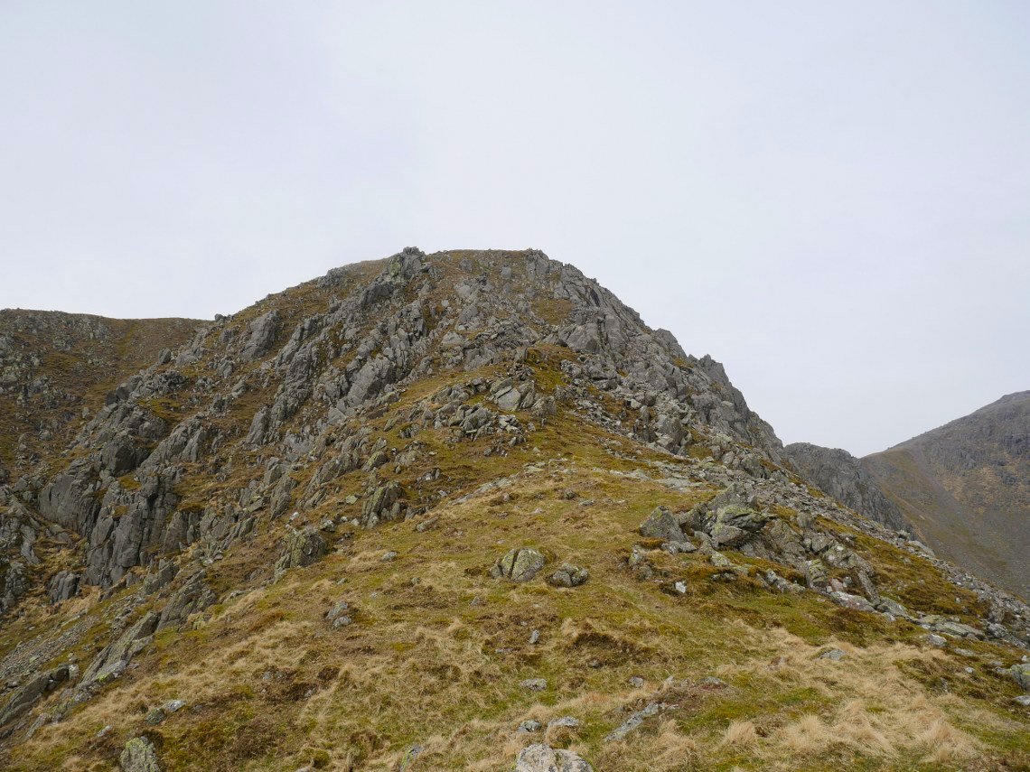
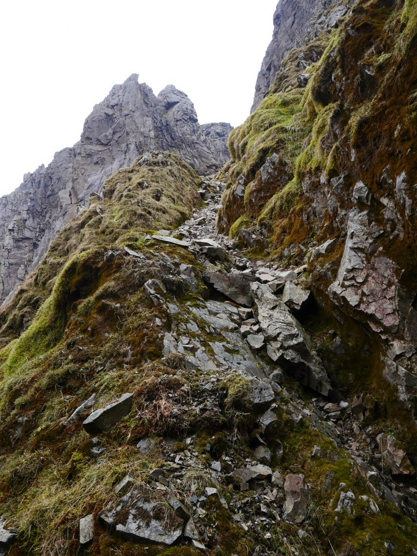
Eventually I reach the ridge and I'm just left with the exciting little scramble to Long Green.
A look back down the ridge.
On to the main path over Long Green from Slight Side. Scafell ahead.
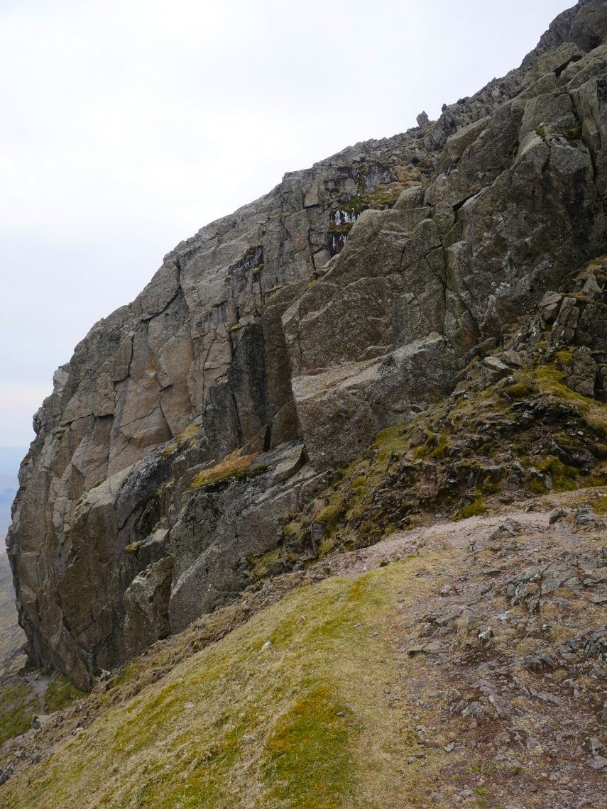
From Scafell I descended to Lord's Rake.This is looking down what is the final rise when using the rake to climb Scafell.
Scafell Pike seen from the top of the first and steepest section. The remains of the fallen boulder litter the floor.
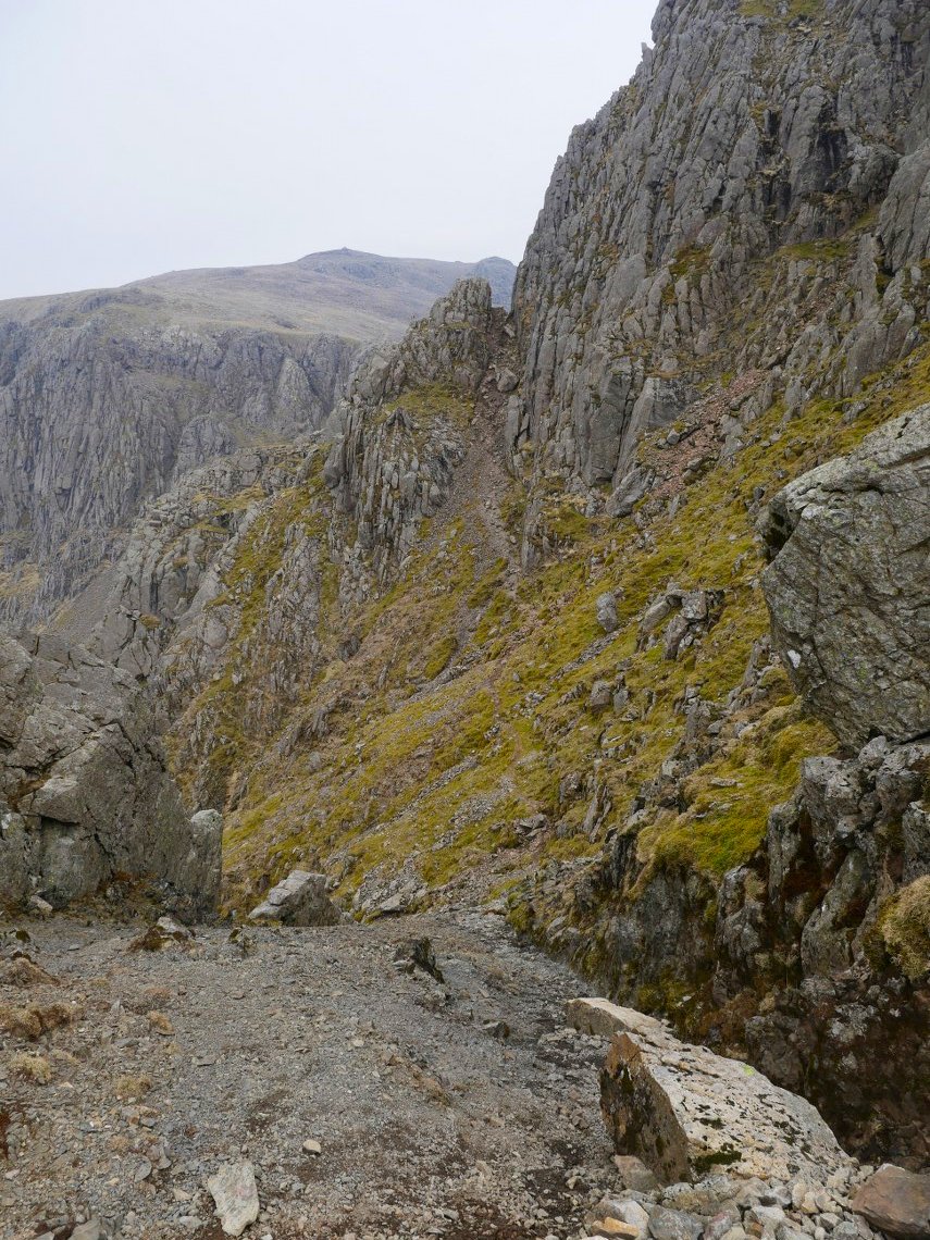
When descending the rake you have to take great care that you don't send any rocks down onto anyone coming up so as there were a couple of parties climbing the rake I pulled over into the West Wall Traverse path to let them pass.
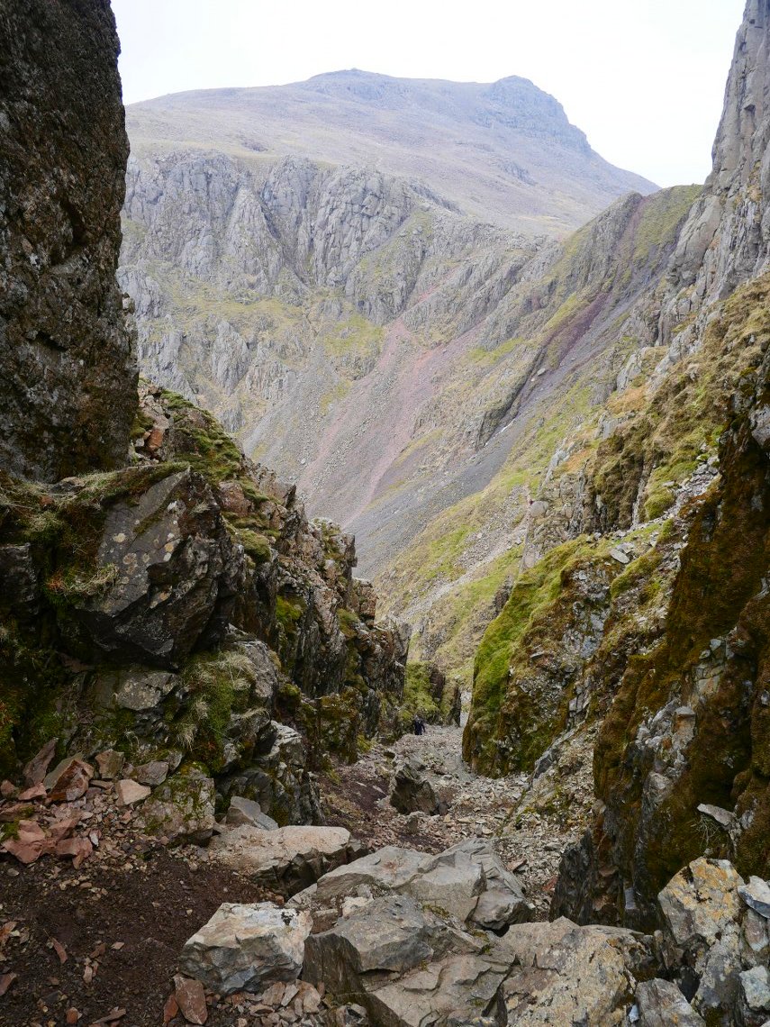
Once out of the rake and having climbed the now very nastily eroded slope up to Mickledore I had a quick brew stop whilst admiring Broad Stand.
I was much to tired to think of climbing the Pike so I cut across above Pike Crags and joined the Corridor Route. Passing above Piers Gill.
After reaching Styhead I climbed across the fell heading for Aaron Slack which leads up to Windy Gap the col between Green Gable and Great Gable. This is looking back to Styhead tarn and Great End.
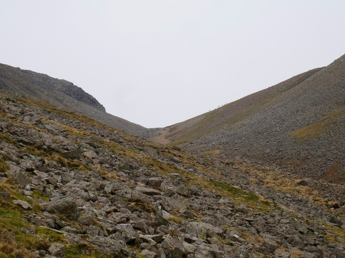
Nearly at Windy Gap which today wasn't windy at all.
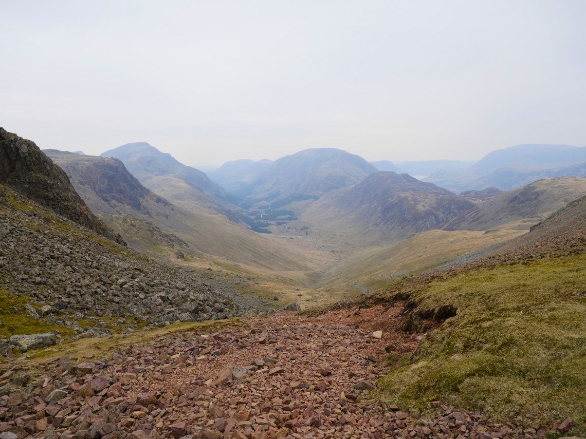
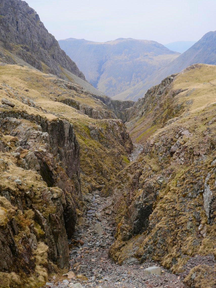
From Windy Gap it's down the stoney path to Stone Cove. Ennerdale below again lost in the murk.
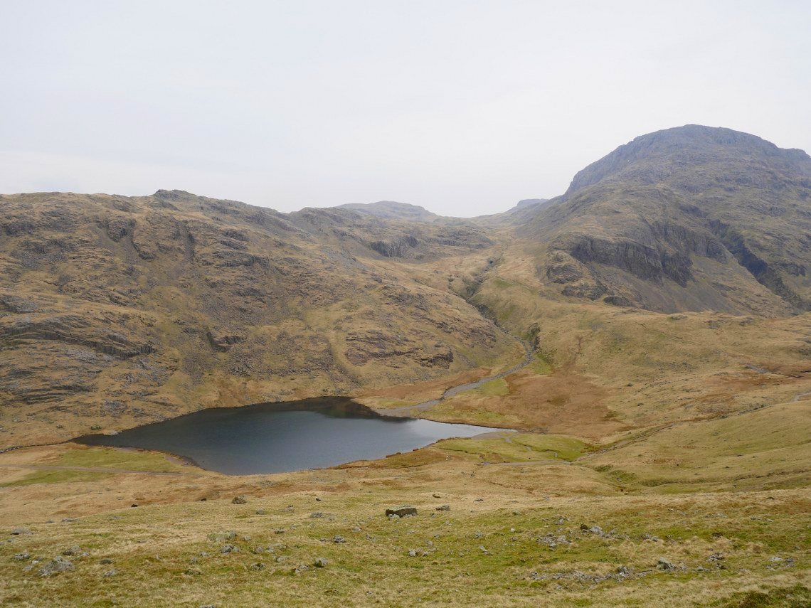
At last I can ( nearly )see my starting point and it's all down hill from here Blackbeck Tarn on Haystacks is the tarn below.
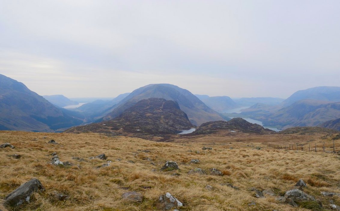
I joined the miners track at Warnscale which would lead me back to the valley.
Typical, not having seen the sun all day it appears over High Stile as I reach my car.