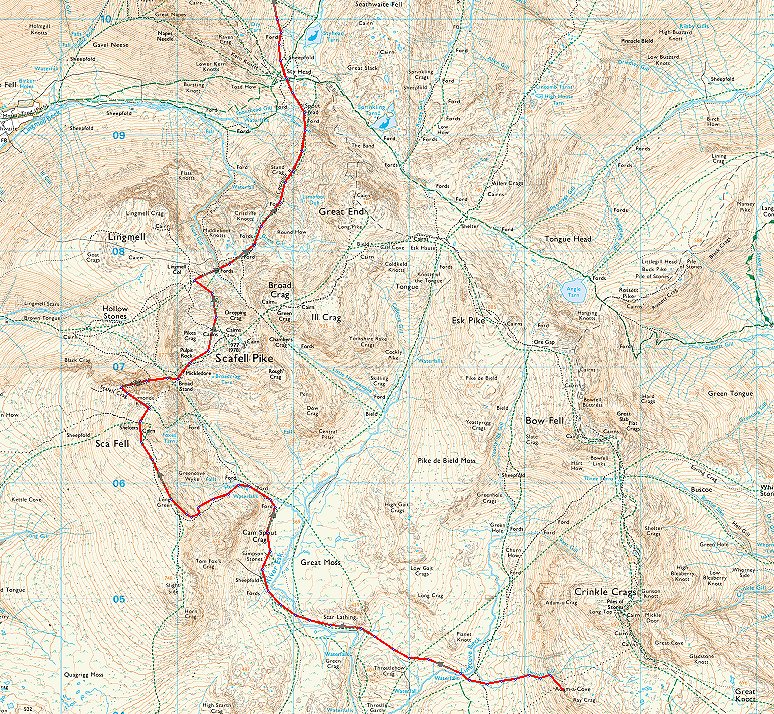
WWW.KARLSWALKS.CO.UK
PICTURES AND TRIP REPORTS FROM MY WALKS IN THE ENGLISH LAKE DISTRICT
|
|
|
|
||||
|
|
|
|
|
|
|
E-mail - karl@karlswalks.co.uk |
After a great nights sleep on a very comfortable pitch I woke to find that the forecast for extensive high cloud was correct so unfortunately I didn't get to see a nice sunrise and also the light wasn't very good for photography.
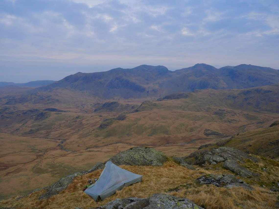
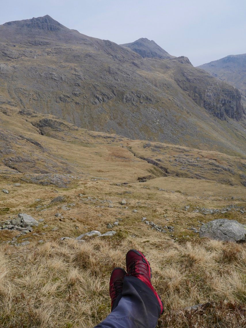
The day was very mild with very little breeze. My route today takes me over the Scafell group, I just wasn't sure exactly which route to take. So I had a think about it as I made the steep descent down to Lingcove Beck.
I decided that I'd try a new route for me which is the climb to Scafell by the Cam Spout ridge which I'm zooming in onto now.
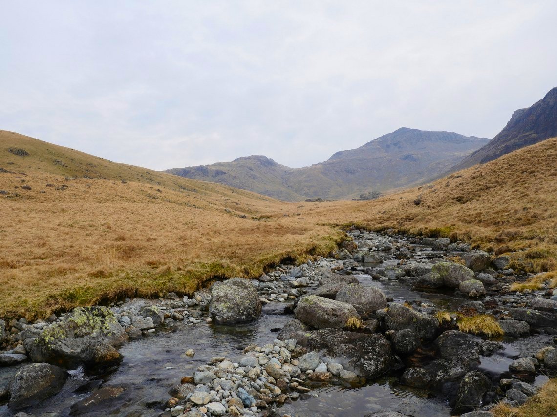
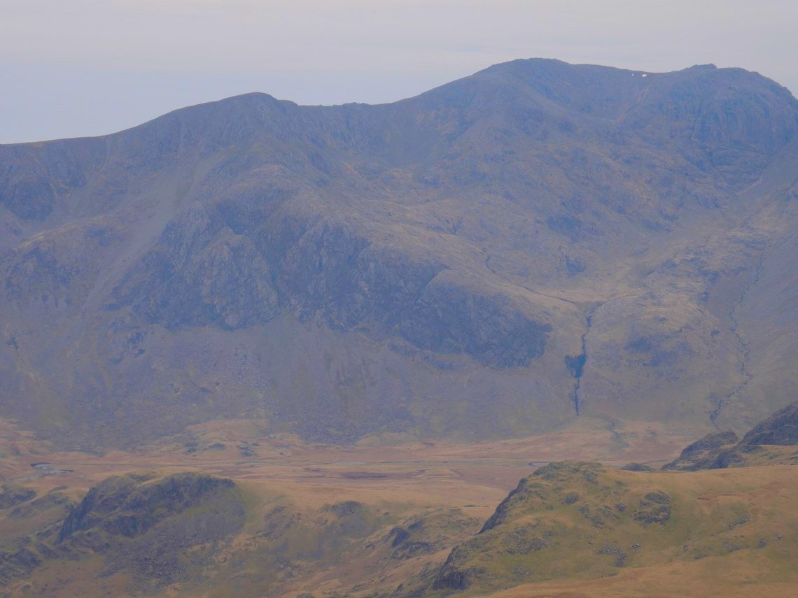
Crossing Lingcove Beck looking to Bowfell.
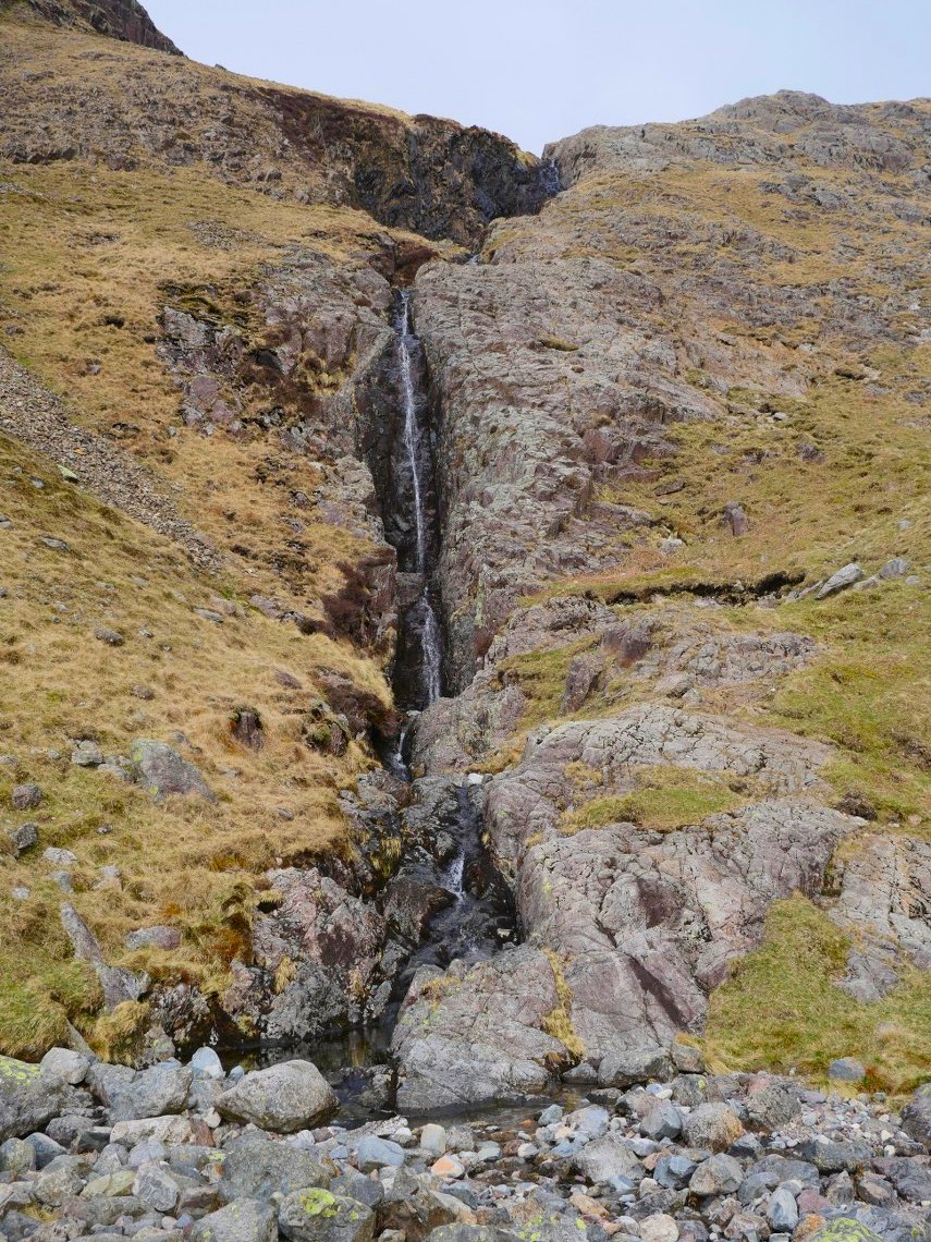
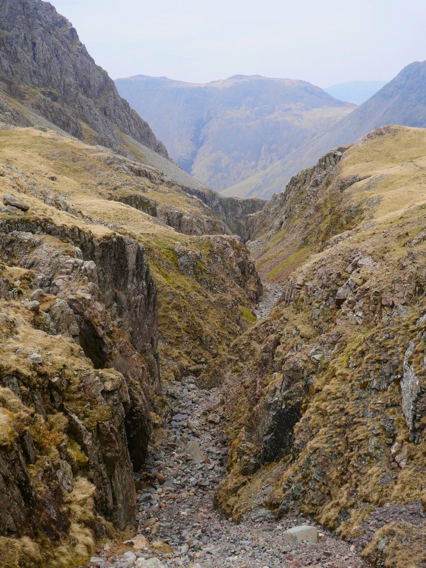
The path meanders its way up and down to the Great Moss and when it passes Cam Spout I head up to the right of the falls. Although it's hard to see from below there is quite a clear path zig zaging up the fell.
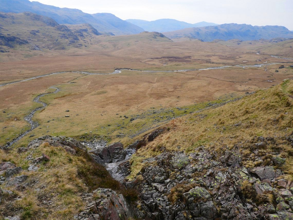
Looking back down from the climb.
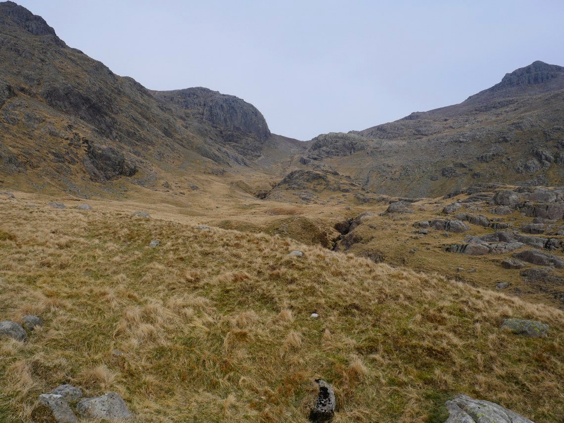
After the falls I cross over the stream to start the steep pull to the ridge. This is looking up to Mickledore which is the way to go if you were heading for Scafell Pike. ( Or over the other side to descend to Wasdale )
It is a steep climb and despite having eaten a good bit of my food my pack didn't feel any lighter so a couple of pit stops were required. Scafell Pike and Ill Crag are the peaks in front of me.
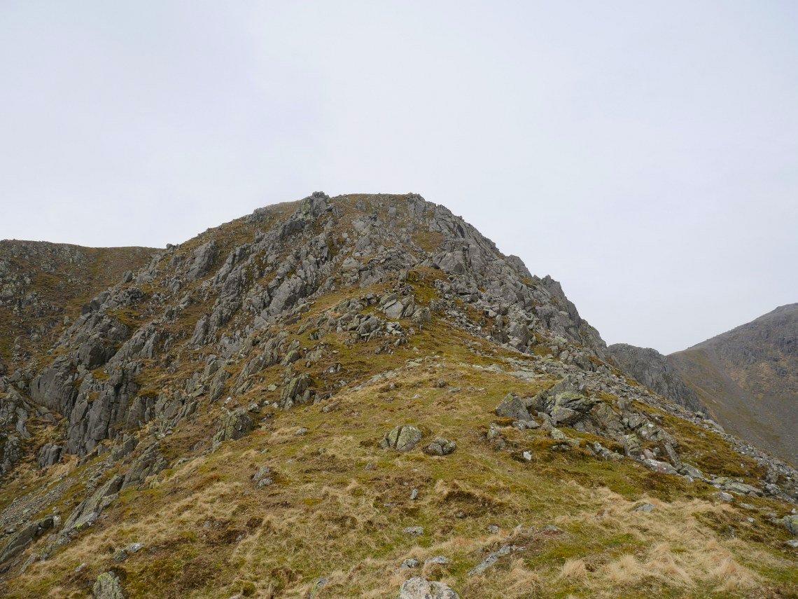
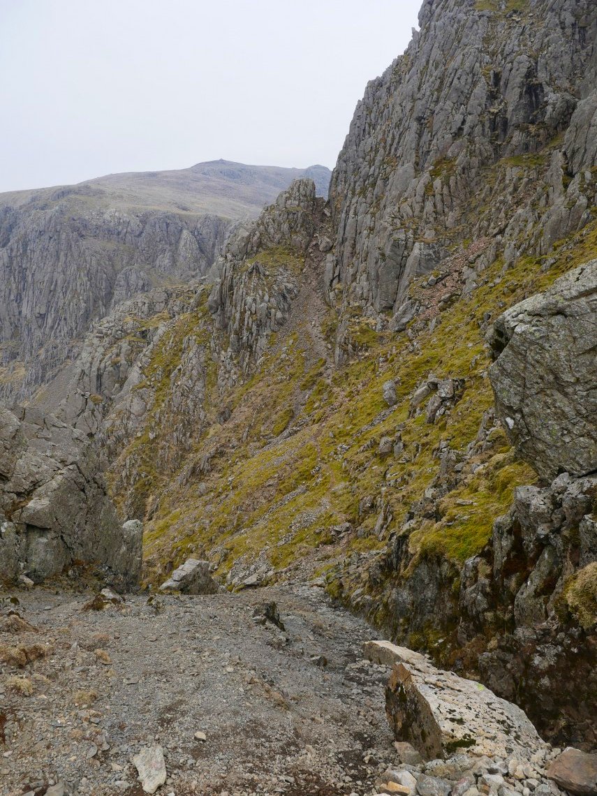
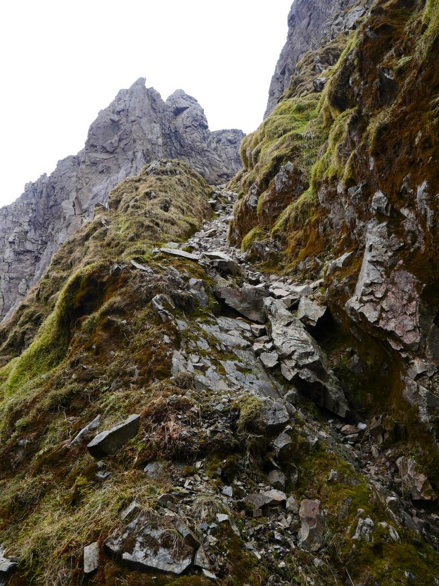
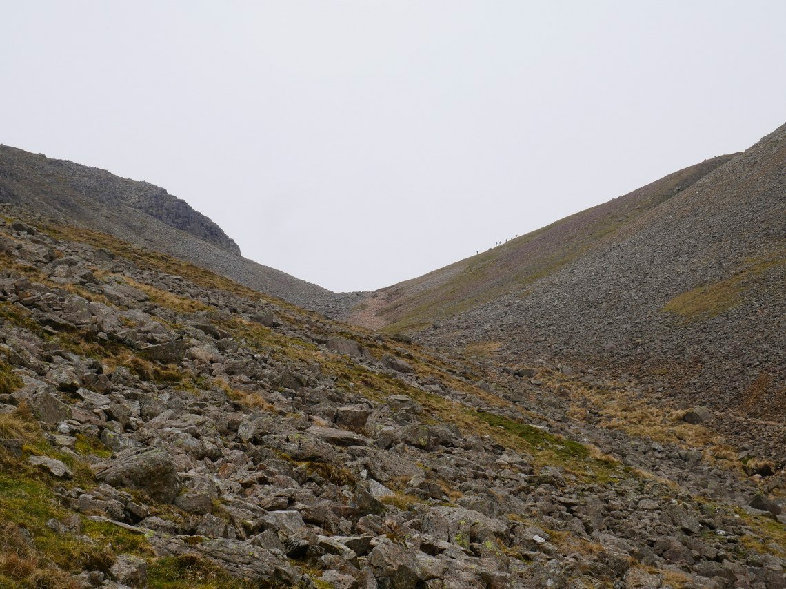
Eventually I reach the ridge and I'm just left with the exciting little scramble to Long Green.
.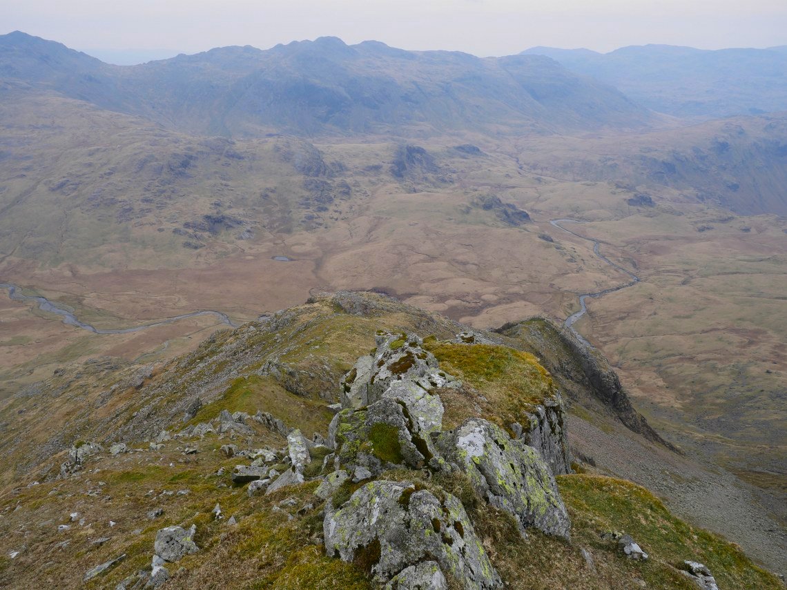
A look back down the ridge.
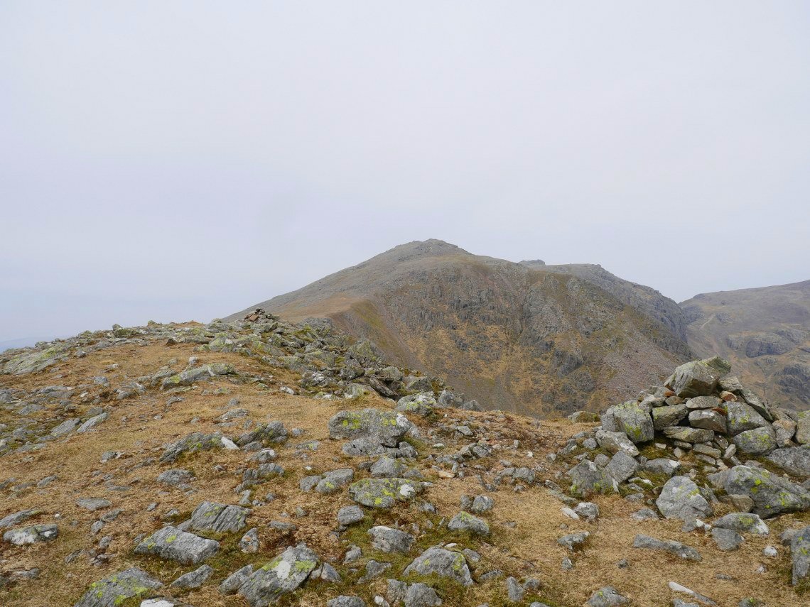
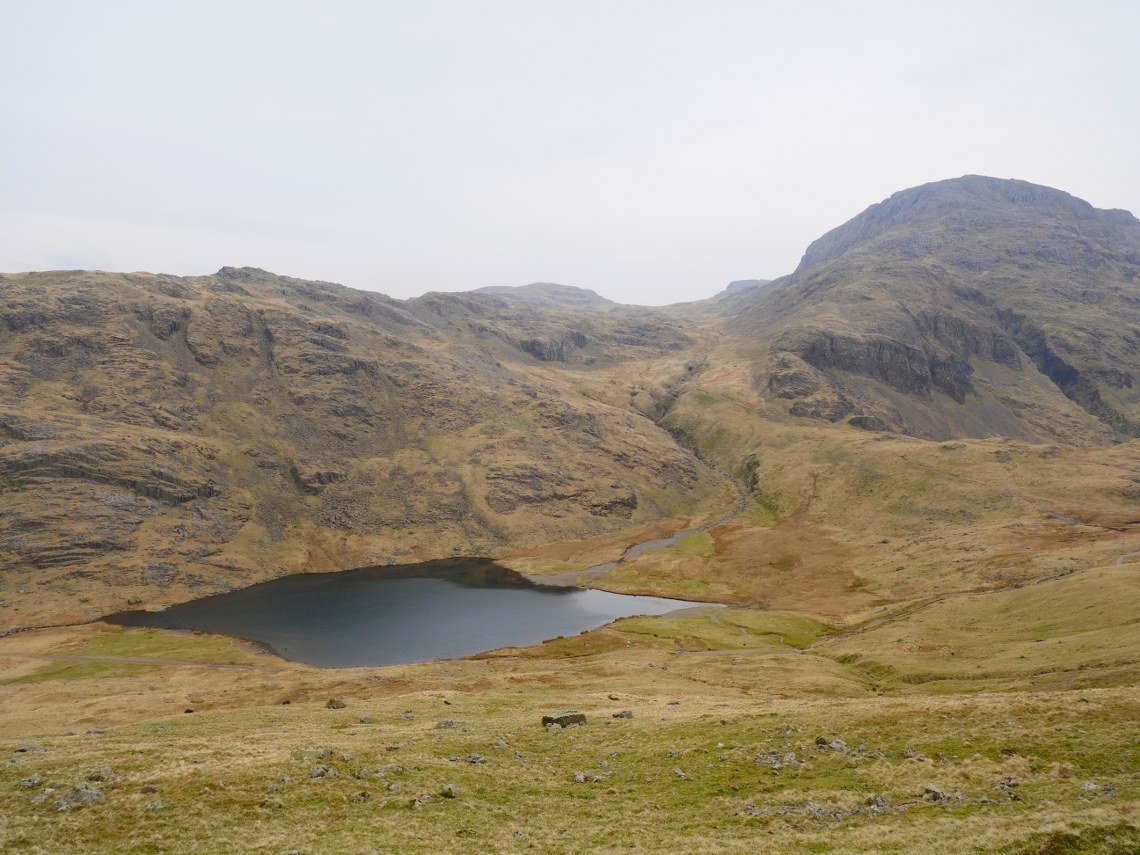
On to the main path over Long Green from Slight Side. Scafell ahead.
From Scafell I descended to Lord's Rake.This is looking down what is the final rise when using the rake to climb Scafell.
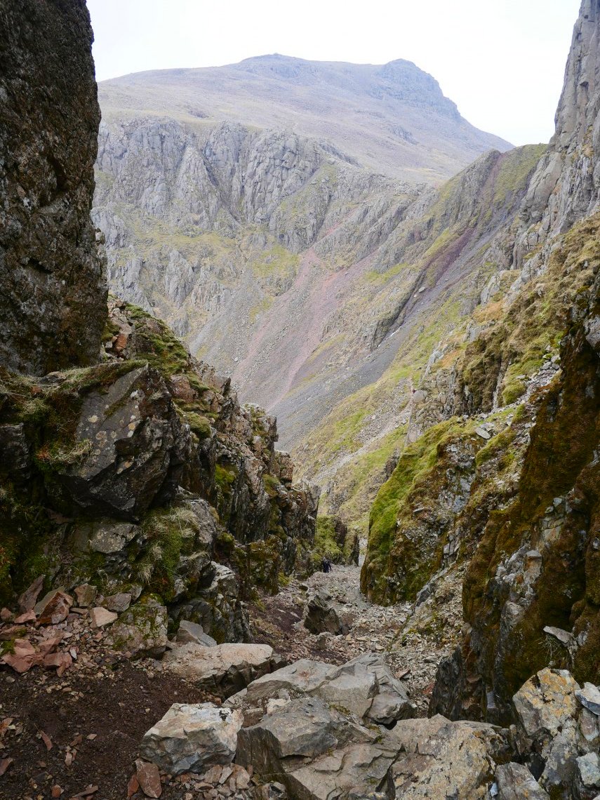
Scafell Pike seen from the top of the first and steepest section. The remains of the fallen boulder litter the floor.
When descending the rake you have to take great care that you don't send any rocks down onto anyone coming up so as there were a couple of parties climbing the rake I pulled over into the West Wall Traverse path to let them pass.
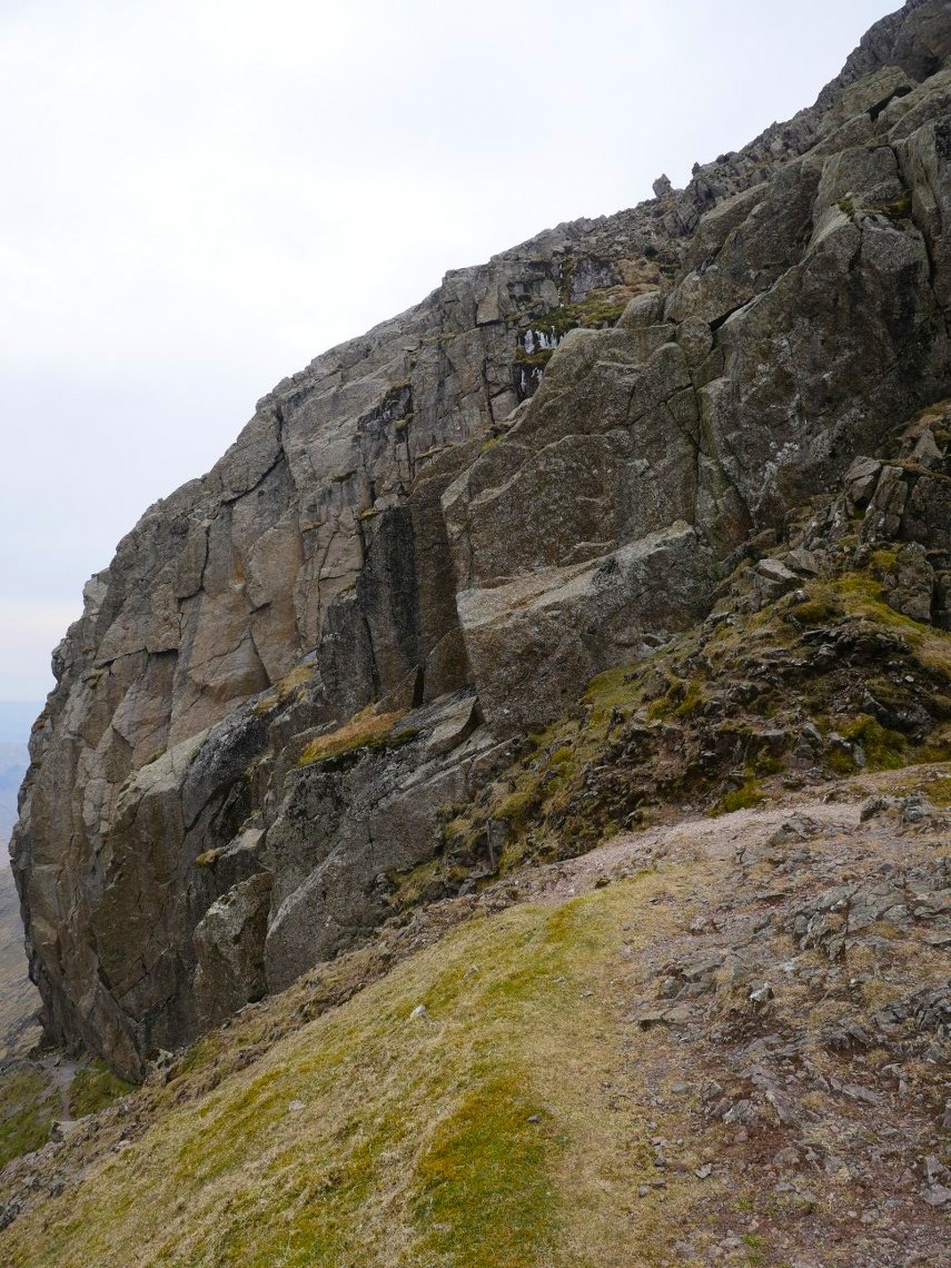
Once out of the rake and having climbed the now very nastily eroded slope up to Mickledore I had a quick brew stop whilst admiring Broad Stand.
I was much to tired to think of climbing the Pike so I cut across above Pike Crags and joined the Corridor Route. Passing above Piers Gill.
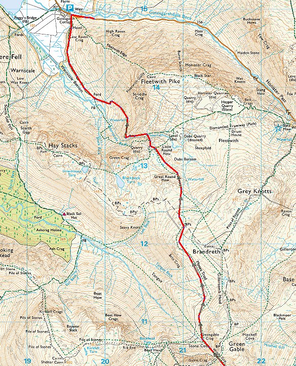
After reaching Styhead I climbed across the fell heading for Aaron Slack which leads up to Windy Gap the col between Green Gable and Great Gable. This is looking back to Styhead tarn and Great End.
Nearly at Windy Gap which today wasn't windy at all.
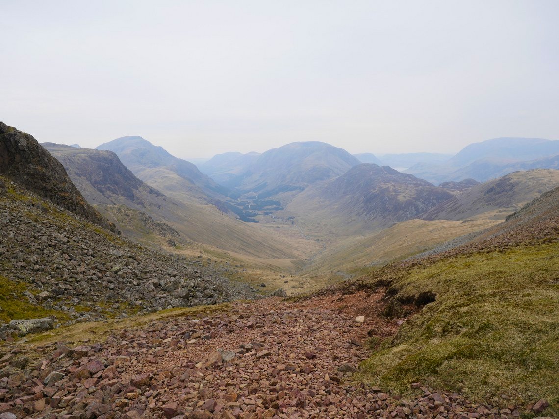
From Windy Gap it's down the stoney path to Stone Cove. Ennerdale below again lost in the murk.
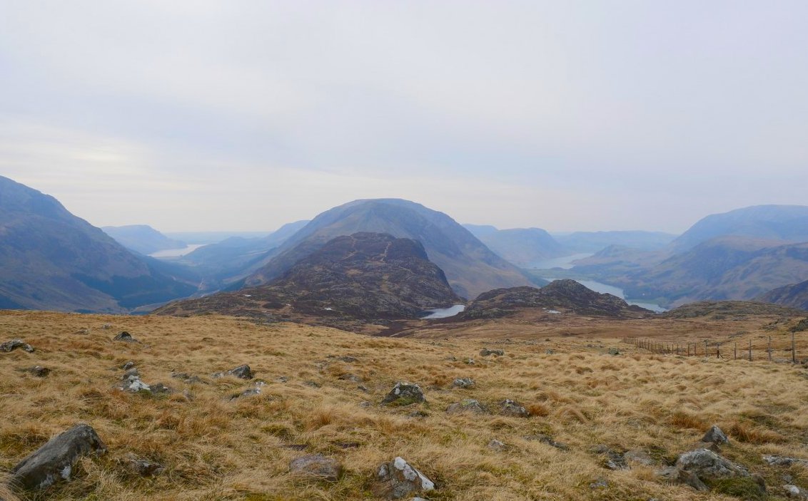
At last I can ( nearly )see my starting point and it's all down hill from here Blackbeck Tarn on Haystacks is the tarn below.
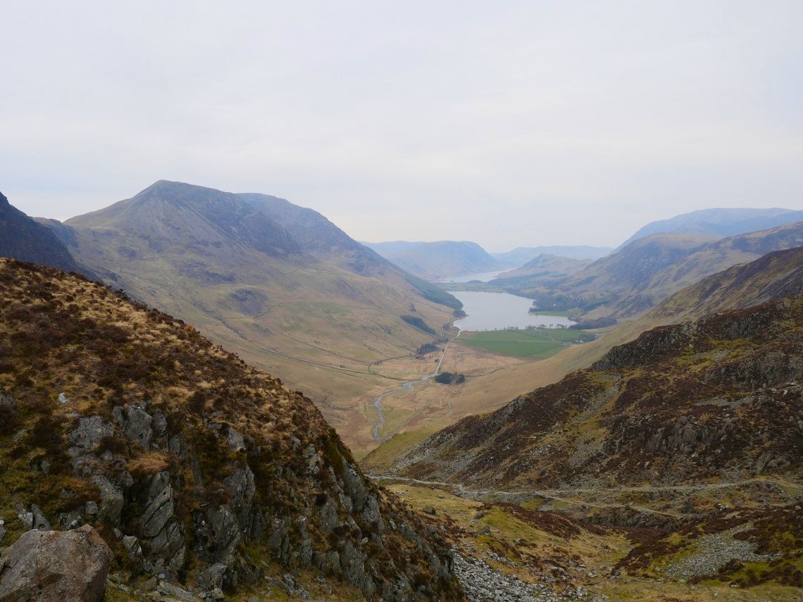
I joined the miners track at Warnscale which would lead me back to the valley.
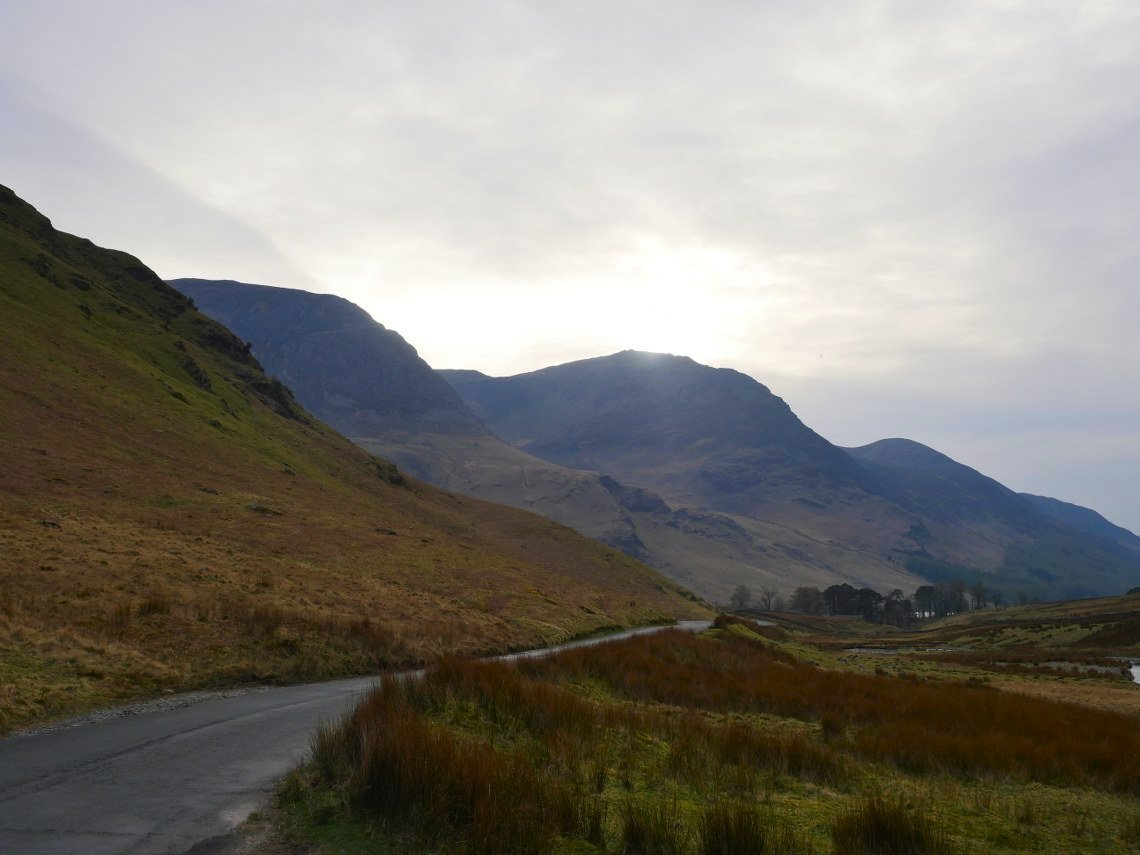
Typical, not having seen the sun all day it appears over High Stile as I reach my car.