WWW.KARLSWALKS.CO.UK
PICTURES AND TRIP REPORTS FROM MY WALKS IN THE ENGLISH LAKE DISTRICT
|
|
|
|
Dull but calm conditions were forecast this weekend which is pretty much how it turned out, the Sun only briefly showed itself and I was unlucky in that there was cloud on every summit I reached.
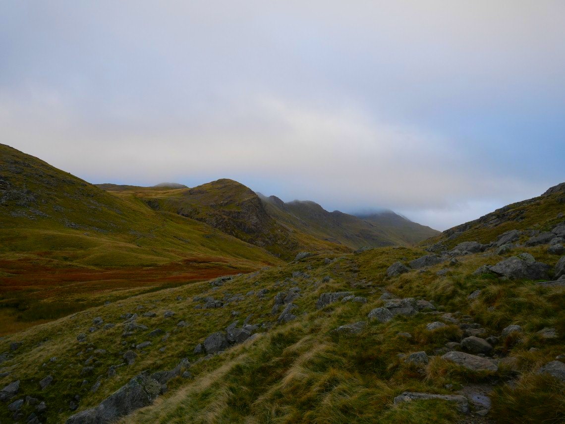
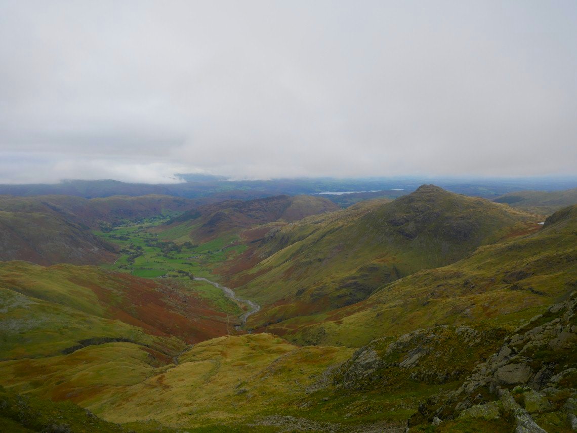
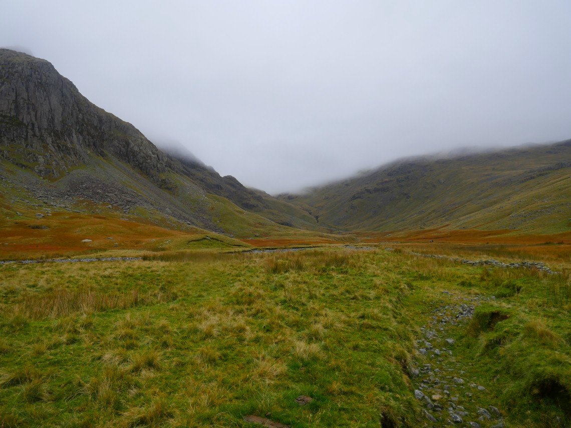
An early start meant that I had no trouble parking at the Three Shire Stone and was soon heading along the path by Red Tarn. The Crinkles and Bowfell are in cloud but there was enough brightness in the sky to give me hope it might lift.
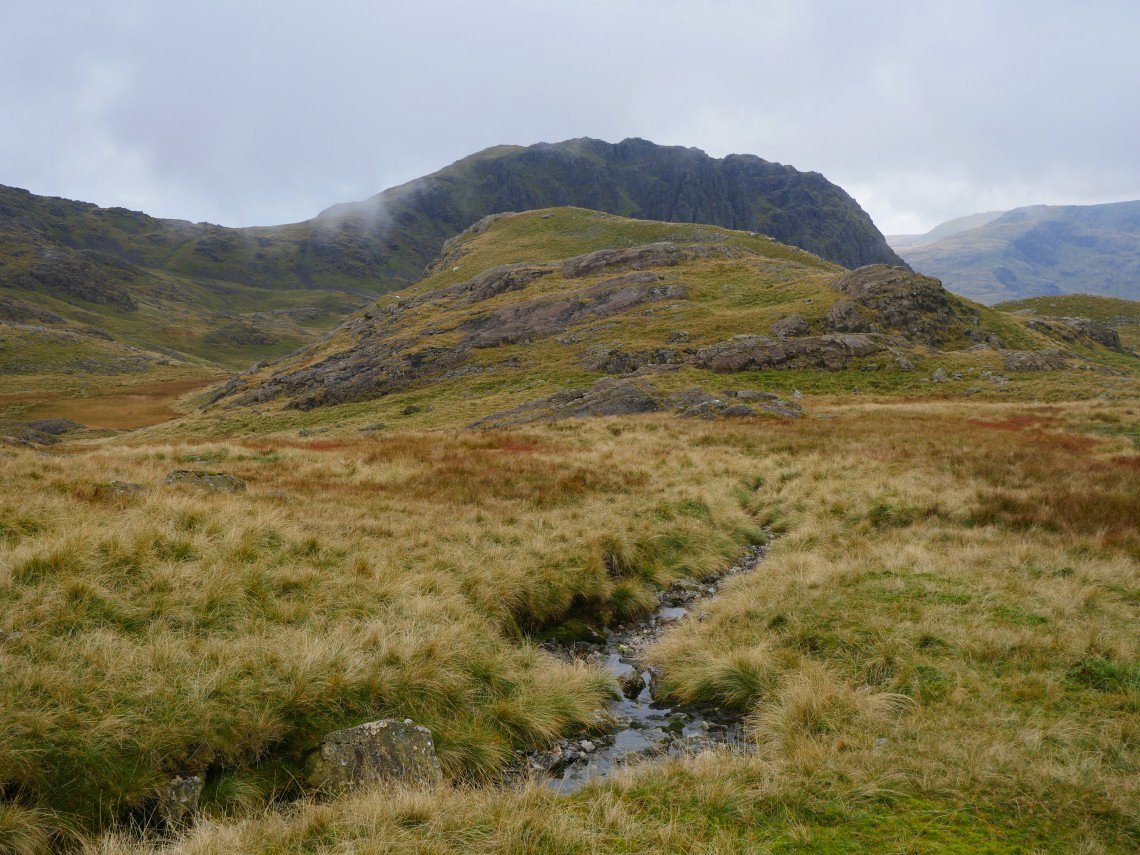
And I did have view of Pike of Stickle from the start of the climb towards Crinkle Crags.
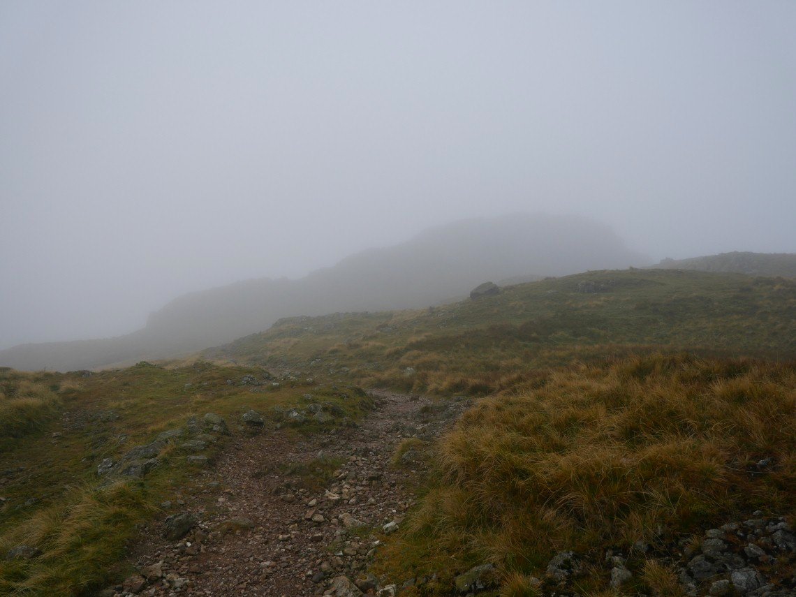
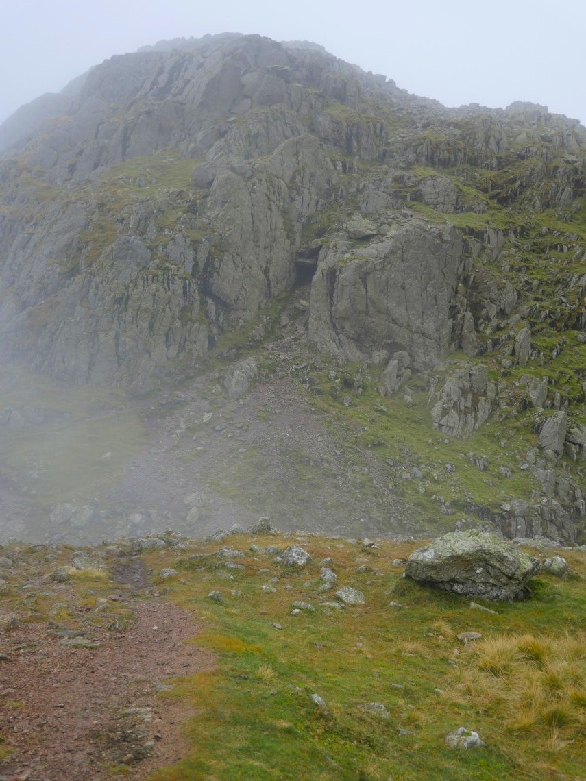
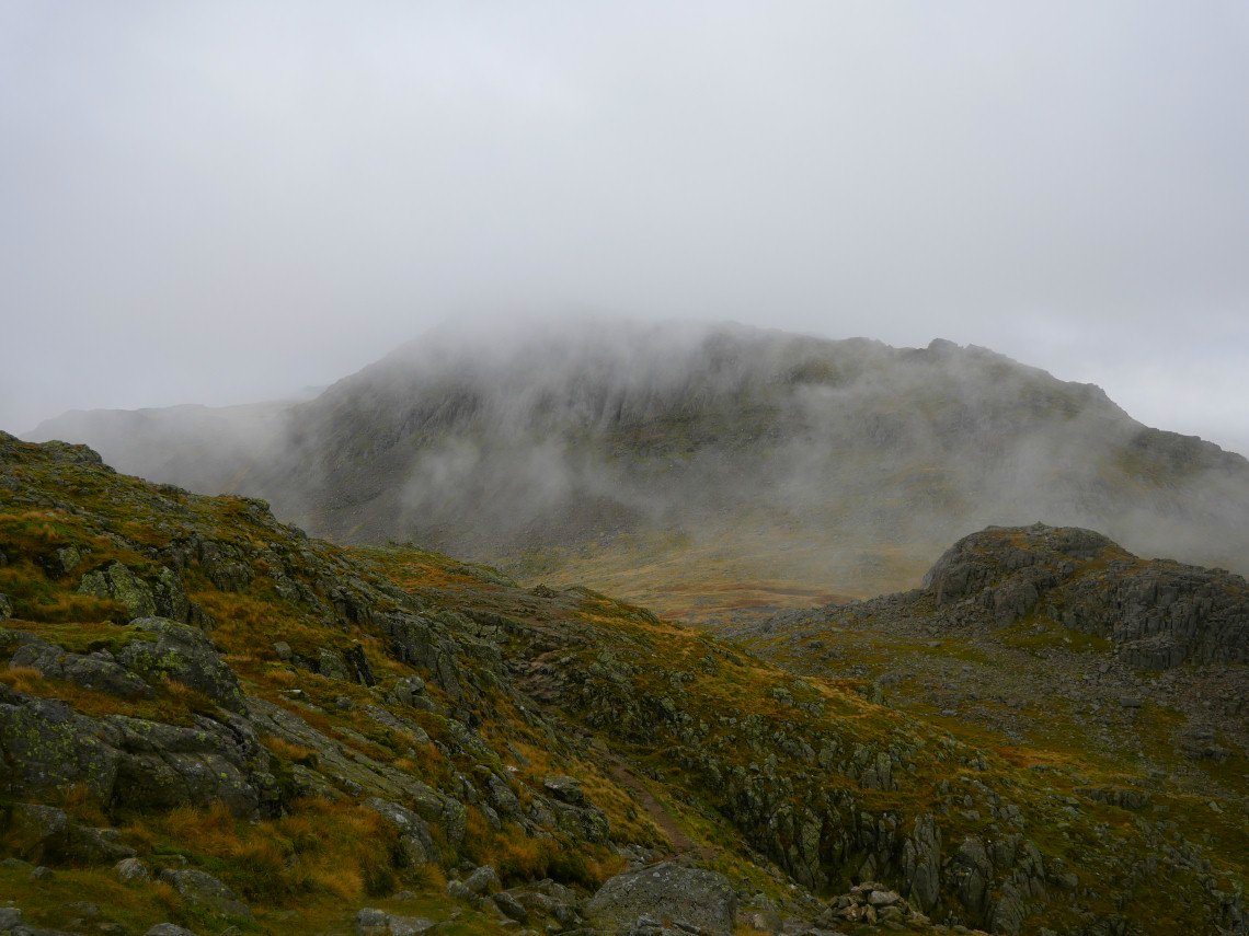
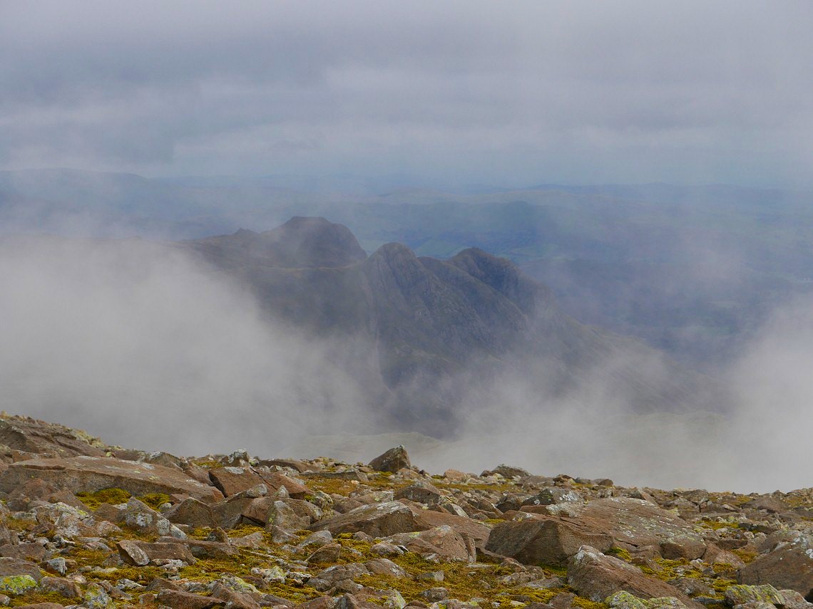
But as I climbed the mist stubbornly hung around and I couldn't see a thing until the first Crinkle loomed out of the gloom
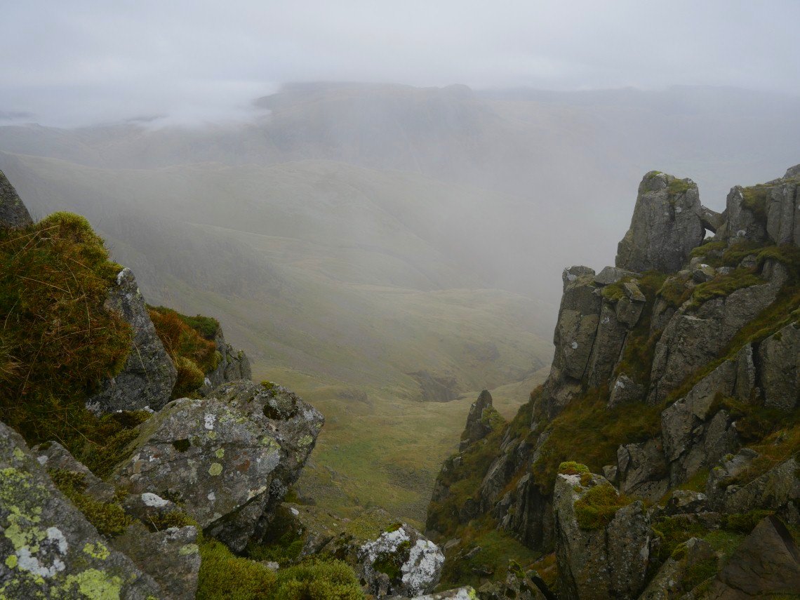
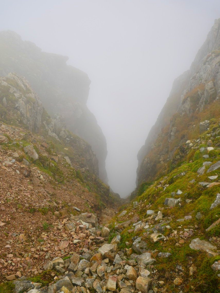
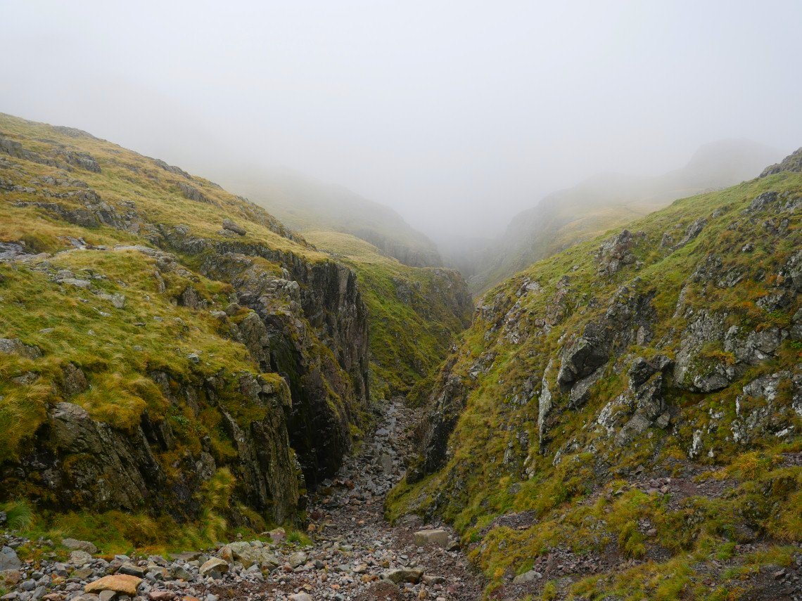
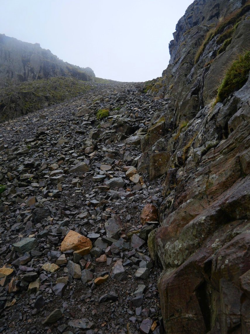
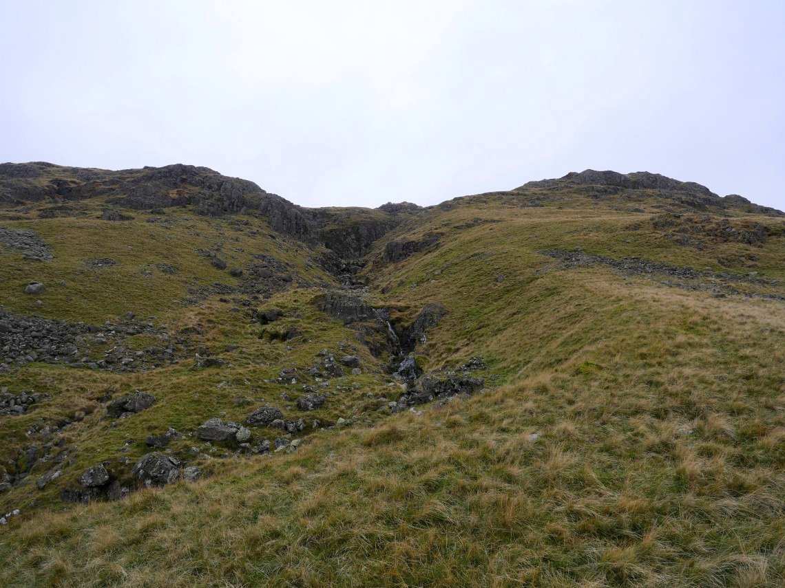
There are a couple of dramatic gullies on the climb to the top this looking down one of them.
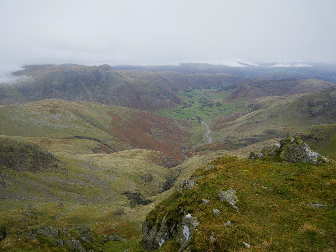
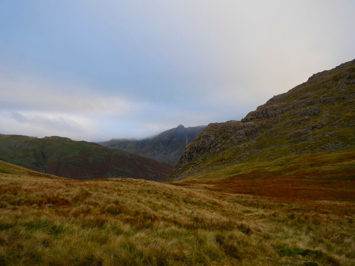
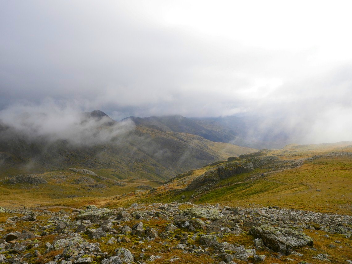
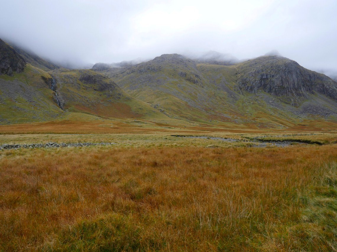
Still plenty of cloud about but Great Langdale is clear.
Heading for the Bad Step, I wondered if the climb up would be more tricky than usual as the rock was wet but I got up with no trouble.
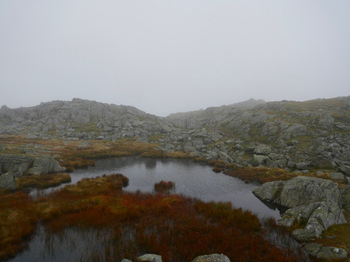
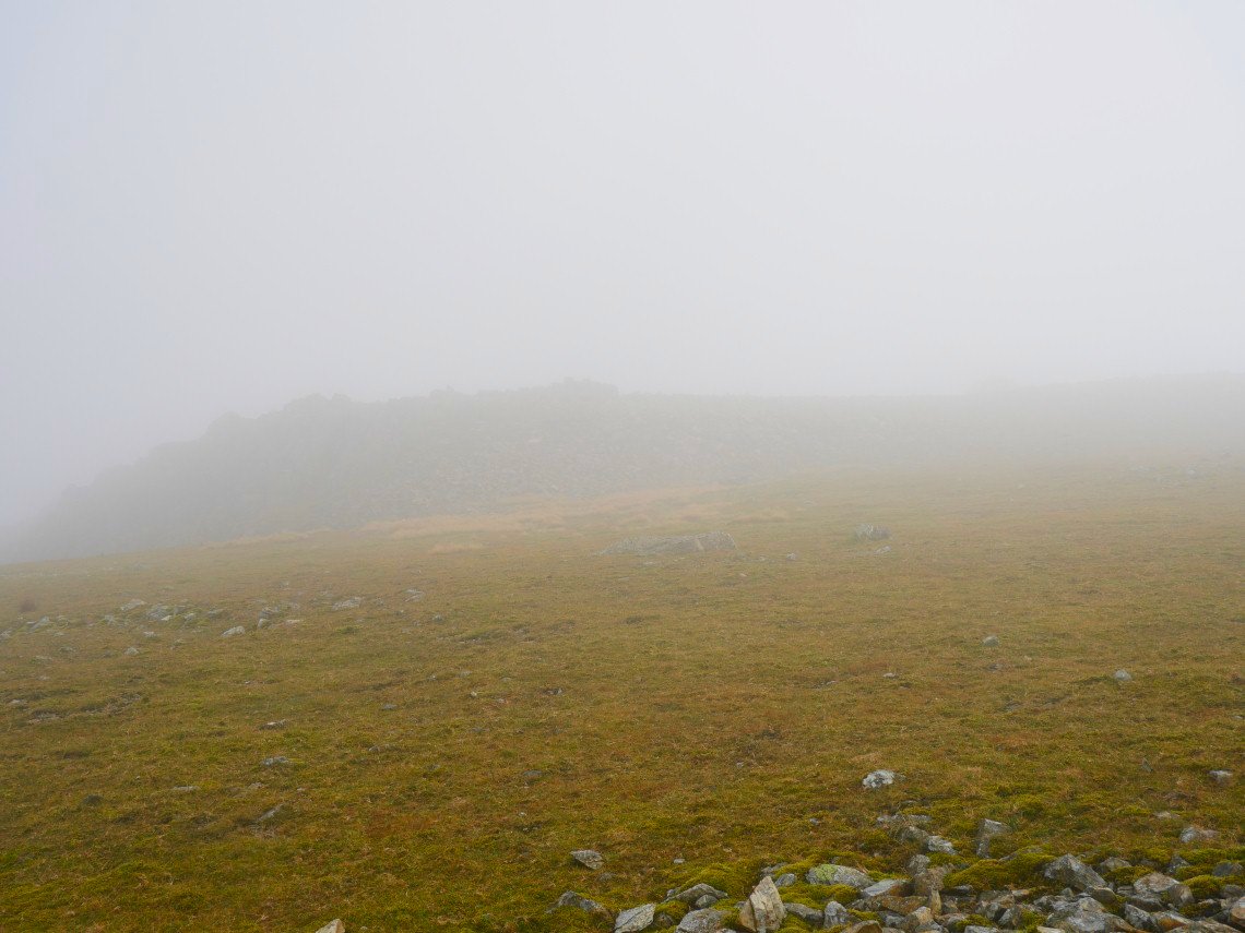
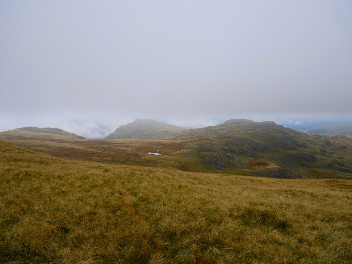
Again not a lot to see from Long Top, the highest of the Crinkle Crags. This is the little tarn just below the summit.
.
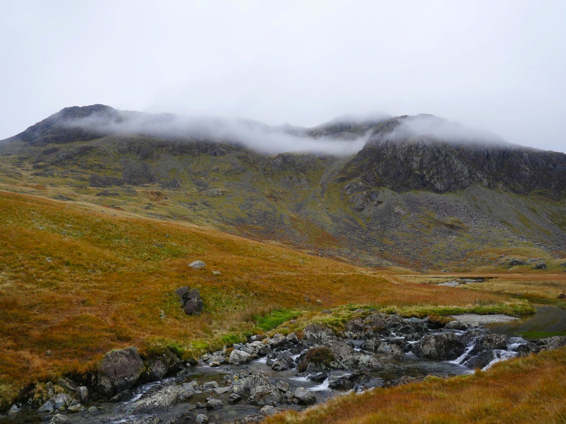
The cloud cleared briefly from the Scafells as I made my way along the wonderful undulating ridge.
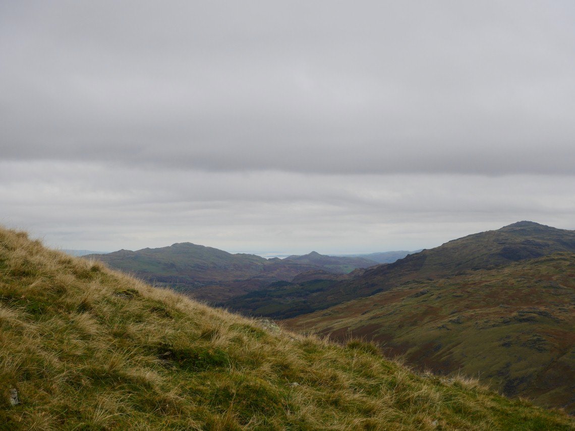
Another view of Great Langdale with Windermere in the distance.
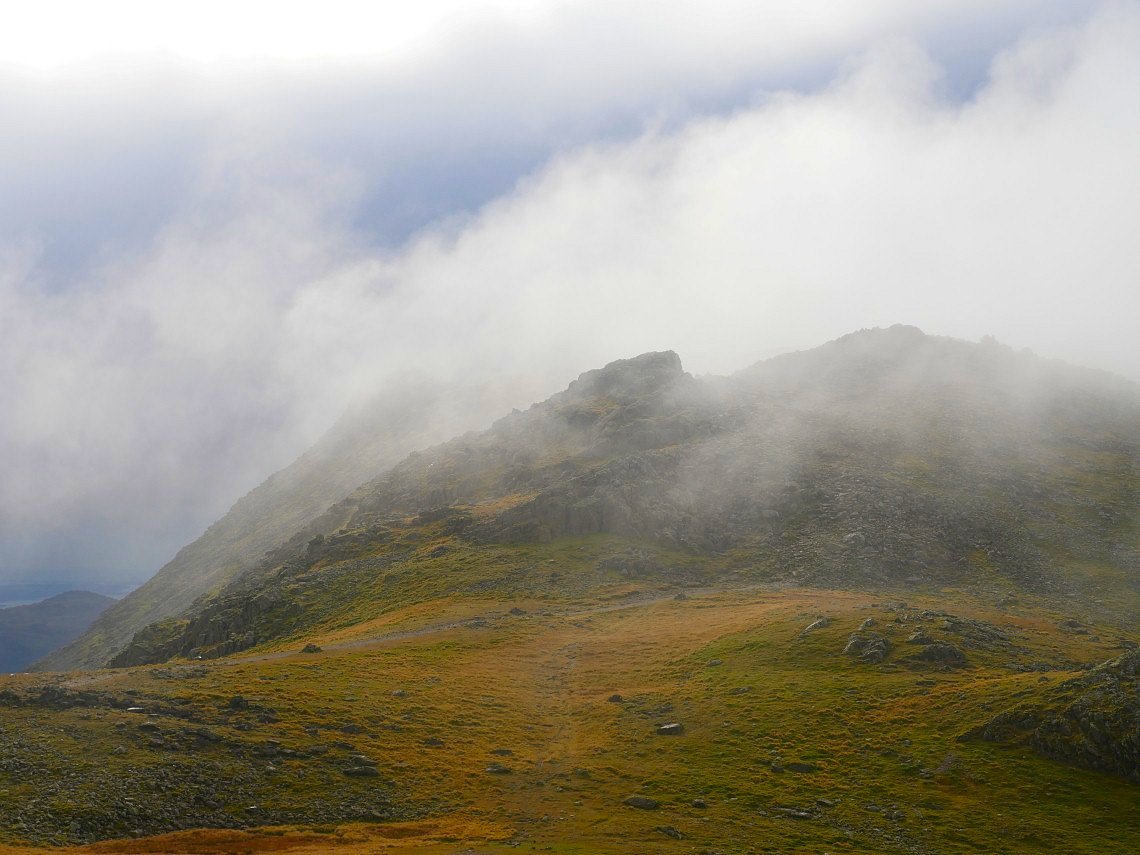
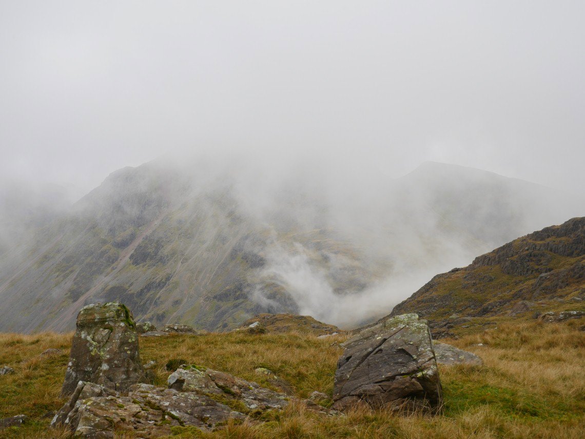
Bowfell was hidden for most of the way to Three tarns and then was only visible for a few minutes.
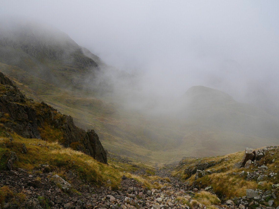
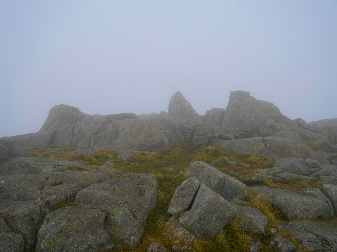
Unfortunately I had no views all over Bowfell, Esk Pike and Great End. This is the summit of Great End appearing out of the mist.
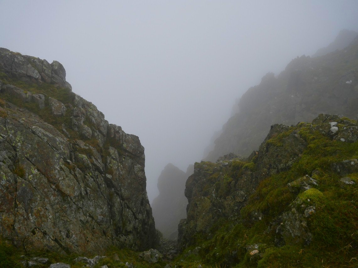
A bit of a leg wobbling look down Central Gully.
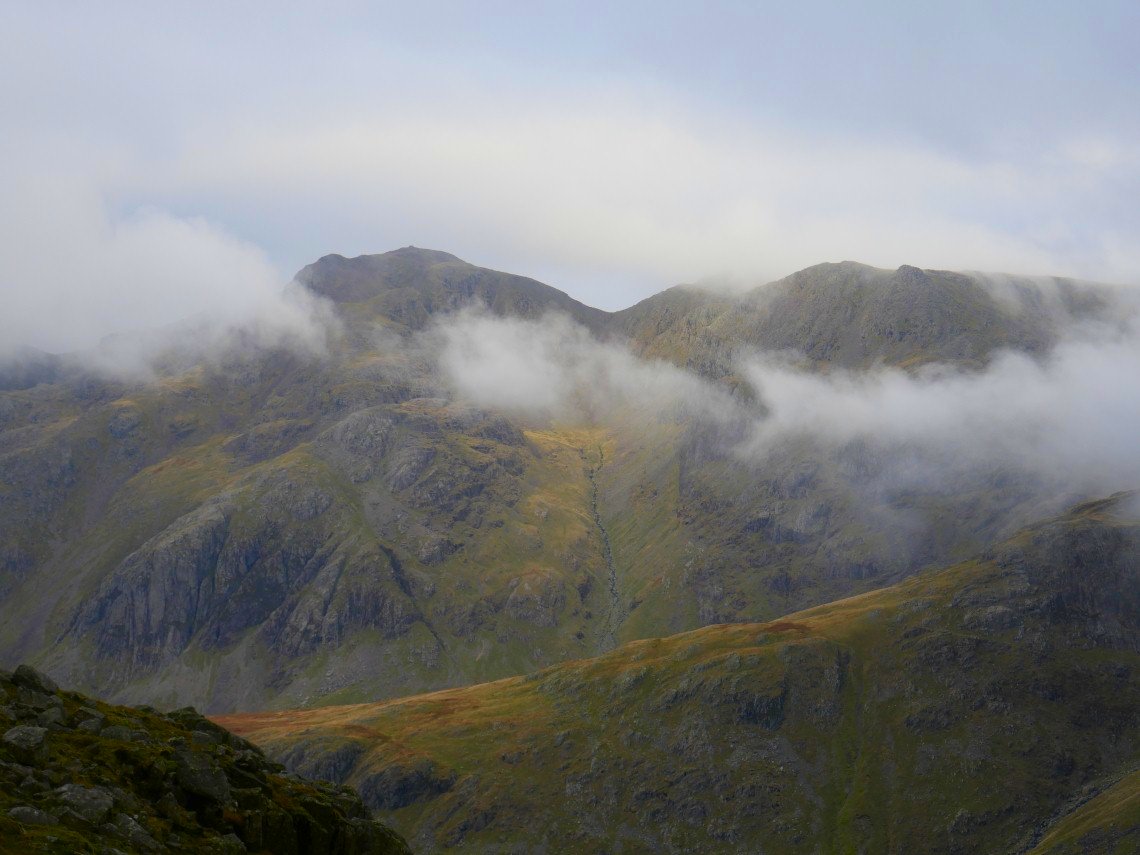
After leaving the summit the sky suddenly cleared for a few minutes giving me a view of the Langdale Pikes.
And upper Eskdale.
Ill Crag teases me by fleetingly appearing then hiding again.
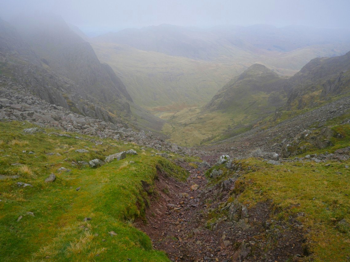
Once down to Calf Cove I turn right and descend by Greta Gill, it's a bit steep and there is no real path but I managed to get down unscathed.
I was heading for Lingmell which is the big fell behind the small bump of Round How and as I had plenty of time I climbed Round How from where there were brilliant views of the fells roundabout.
Although I was sheltered from the wind there must have been quite a breeze over Styhead because banks of cloud were constantly tumbling over the pass.
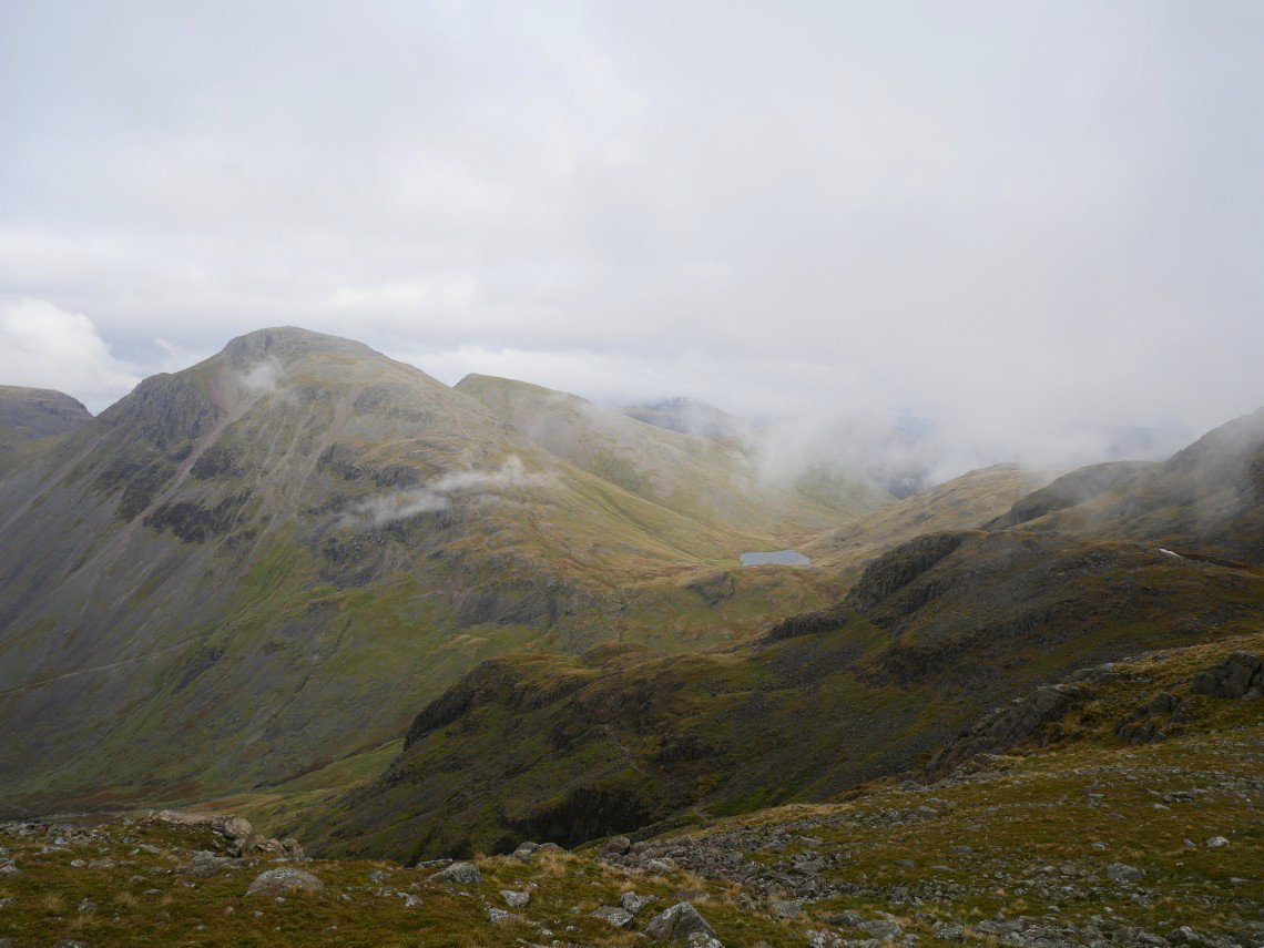
I spent quite a while sat on Round How and eventually Great Gable and Styhead Tarn came out of the cloud.
Brilliant view of Lingmell and Piers Gill from Round How.
After a while the cloud started to descend so I set off for Lingmell. This is passing the top of Piers Gill from the Corridor Route.
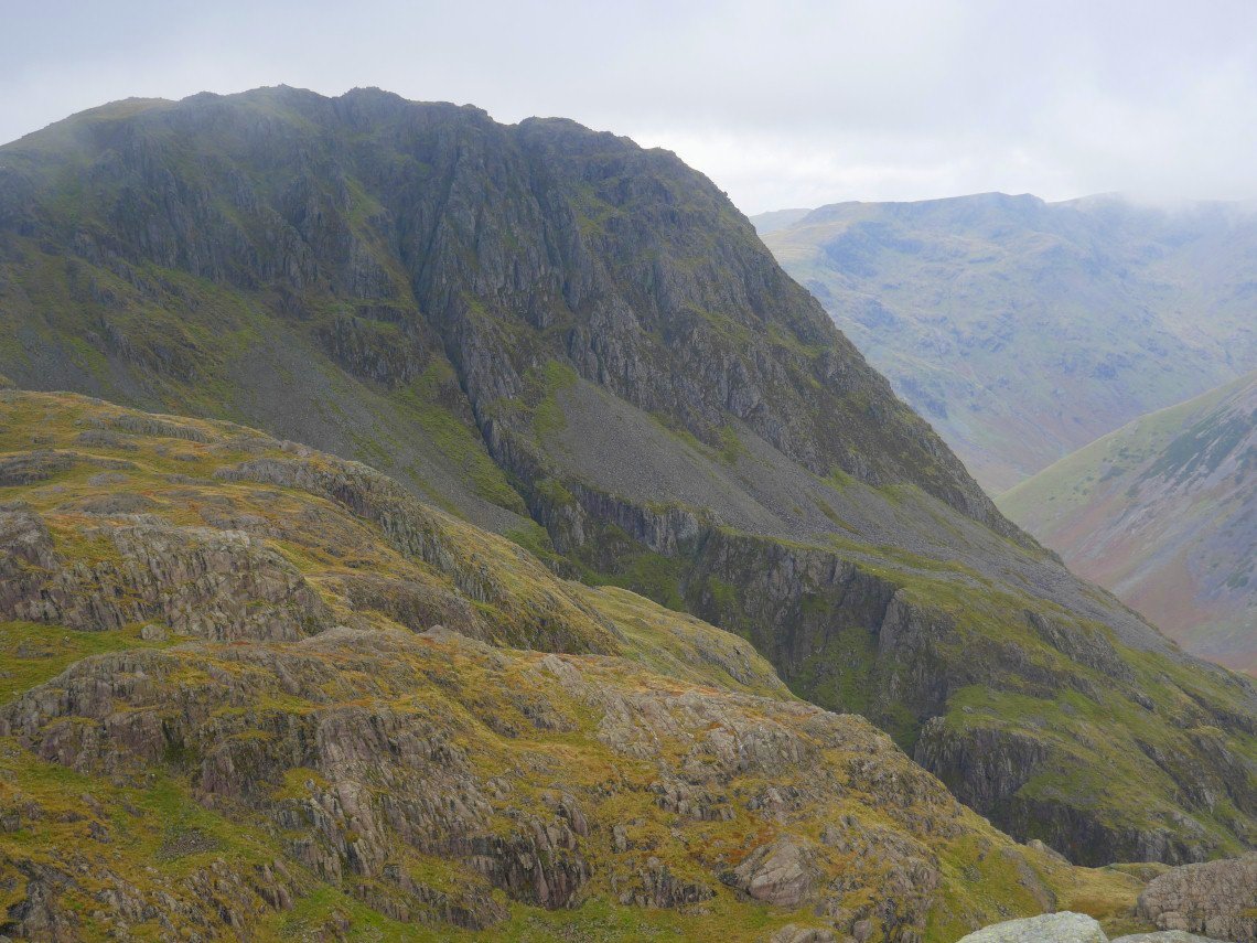
Lingmell was added to the list of summits without a view but again the cloud added to the drama of the very steep gullies passed on the top.I had originally planned to camp on Lingmell but the wind here was blowing quite strongly and was very cold so I made the decision to return to the shelter of Round How.
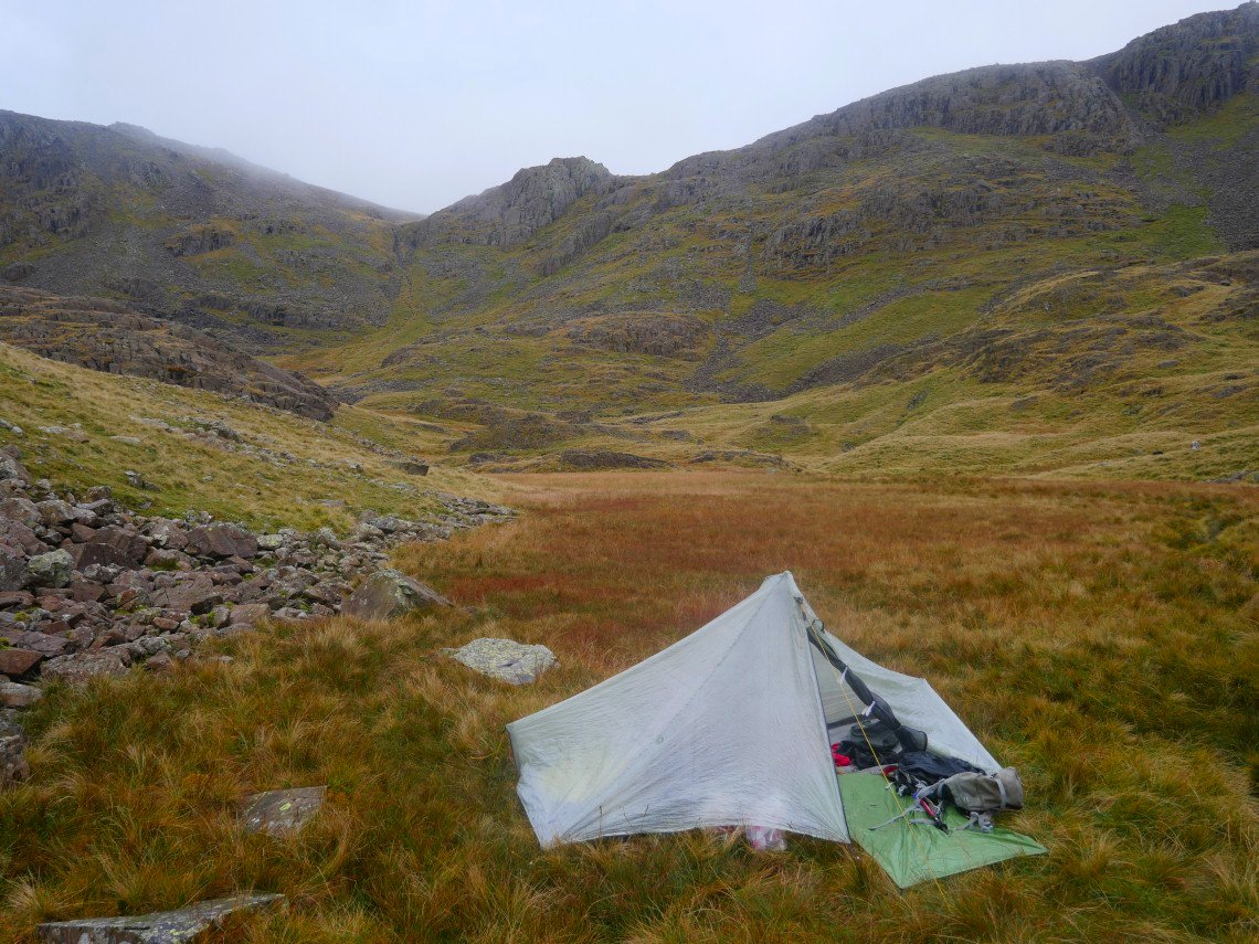
Again absolutely calm and quite a bit warmer by Round How. Greta Gill which I followed down is the lower point to the left of the crag.
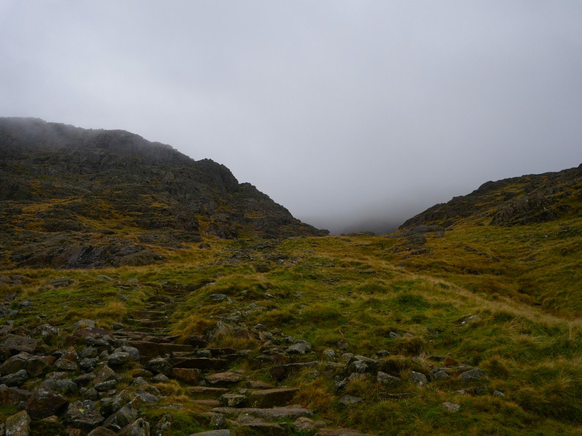
After a very still night I returned to the Corridor Route but this time I turned off left to start the climb to Broad Crag col.
The pitched path heads up to a small hanging valley from where it's a "one step forward, two steps back" ascent to the col..
Once at the col I have virtually the same conditions underfoot but this time descending Little Narrowcove.
Hard Knott and Harter Fell seen from the grassy descent at the foot of Little Narrowcove.
Looking back up Little Narrowcove.
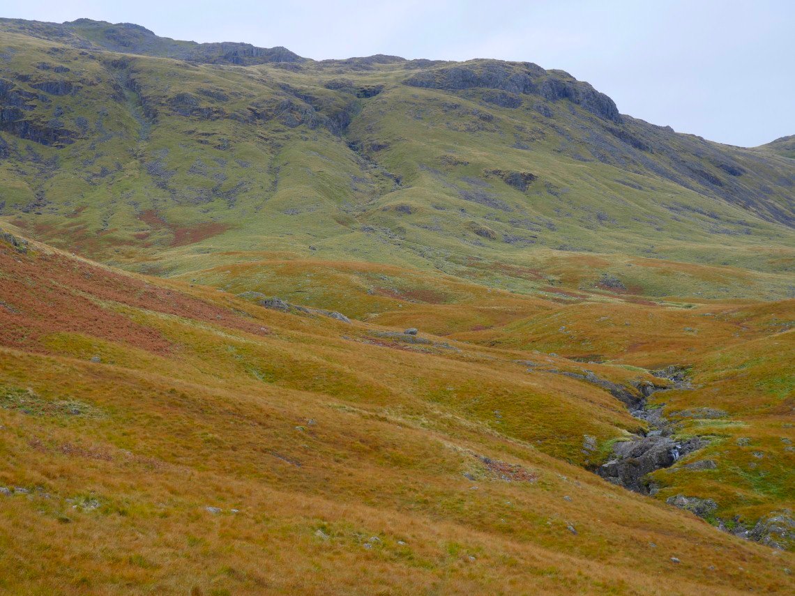
Following the Esk now along the Great Moss. This is looking back to Esk Hause.
Dow Crag on the right with Pen and Rough Crag just about visible in the mist.
Slight Side on the left and Cam Spout Crag on the right seen from where the Esk takes a turn to the south east.
My way back to Wrynose Pass and my car was up over Stonesty Pike so I have another steep pull up the grassy tongue to the right of Swinsty Gill, seen here on the hillside ahead.
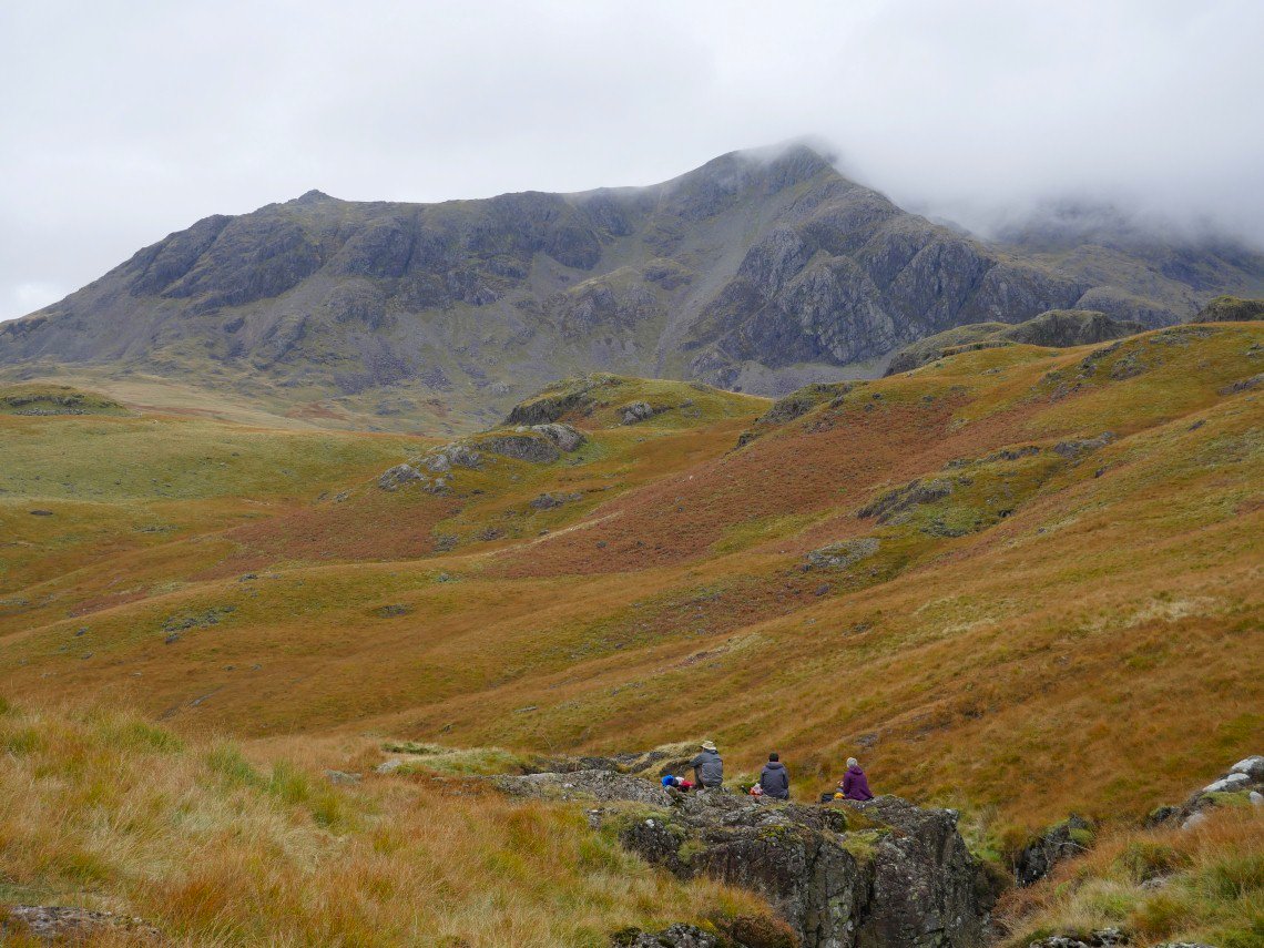
If Carling did lunch spots.
On to the grassy climb now, it's head down and plod time.
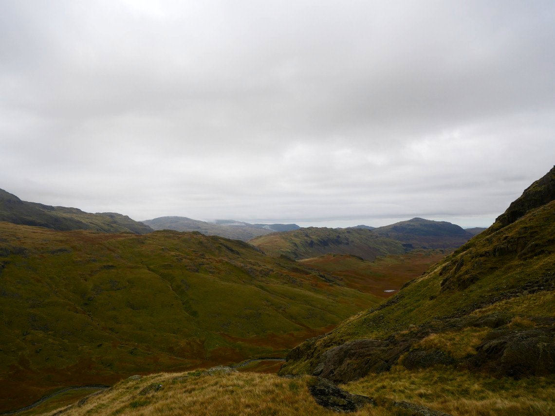
The Dunnerdale fells seen from one of many mini rest stops on the climb.
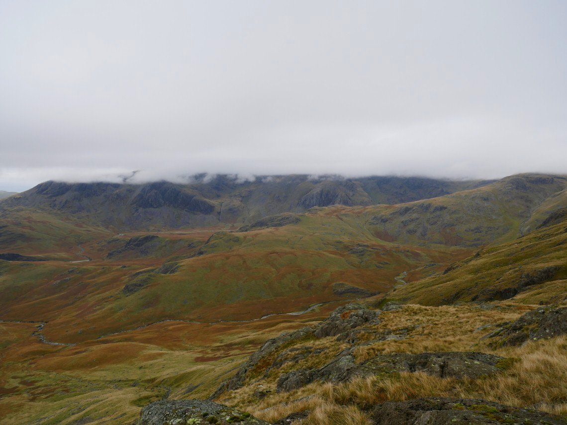
Looking back over Lingcove Beck to a completely cloud covered Scafell range.
Once over Stonesty Pike I have a brief view of my last top of the day, Cold Pike seen here on the right.
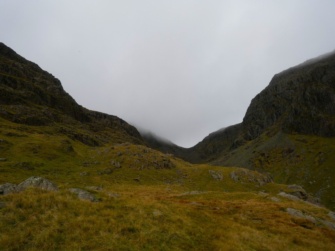
But the mist rolled back in again and Cold Pike completed the full house of summits without a view.