WWW.KARLSWALKS.CO.UK
PICTURES AND TRIP REPORTS FROM MY WALKS IN THE ENGLISH LAKE DISTRICT
|
|
|
|
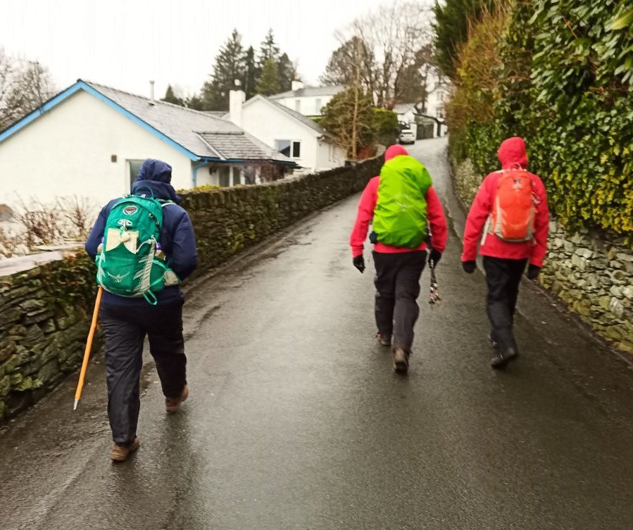
I'm not sure if the weather has been any worse than is usual for this time of year but it does seem that we have been really unlucky with the weekend weather and so when I met up with a few folk from the walking forum for a walk along Scandale and up to Red Screes the cloud was down and for the most part we had rain varying from heavy to light
Nevermind we always set off in hope that things may improve..
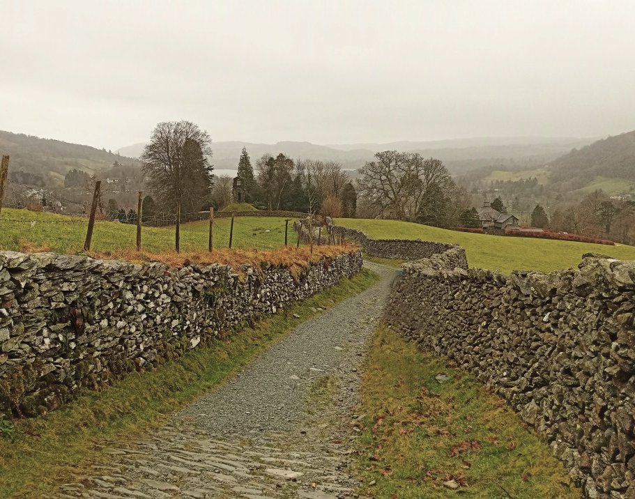
Not a lot to see as we climb away from Ambleside.
"It's brightening up" was our optimistic claim.
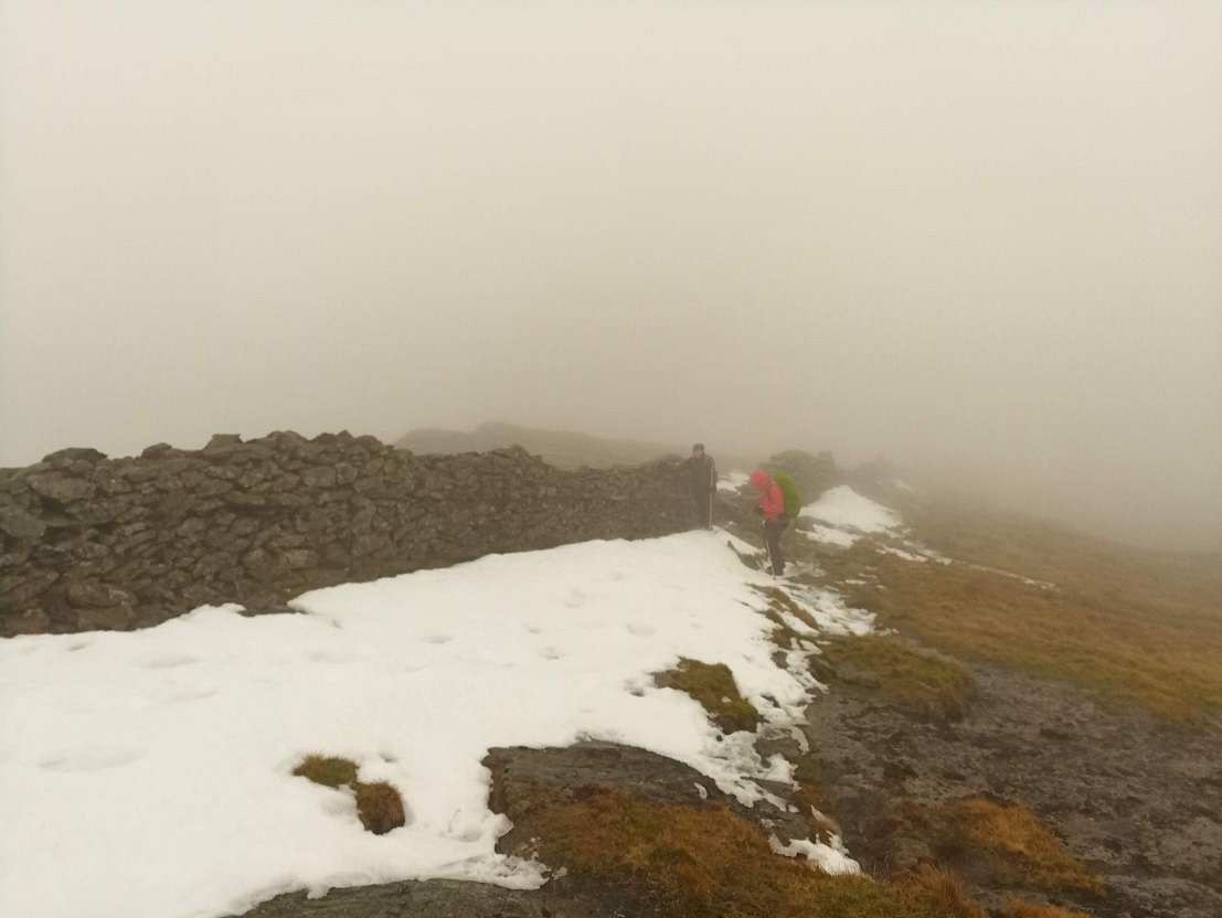
Conditions did slightly improve as we reach Scandale Pass so we set out for Red Screes but within a few minutes a freezing wind had got up and I think we all realised that Red Screes would have to wait for a better day.
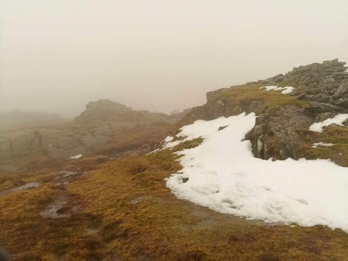
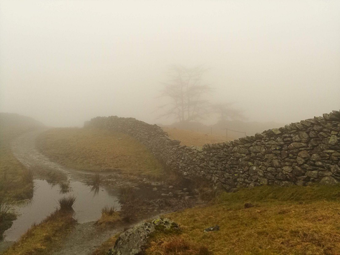
The ground was absolutely saturated which often made the grass as slippy as if it were frozen.
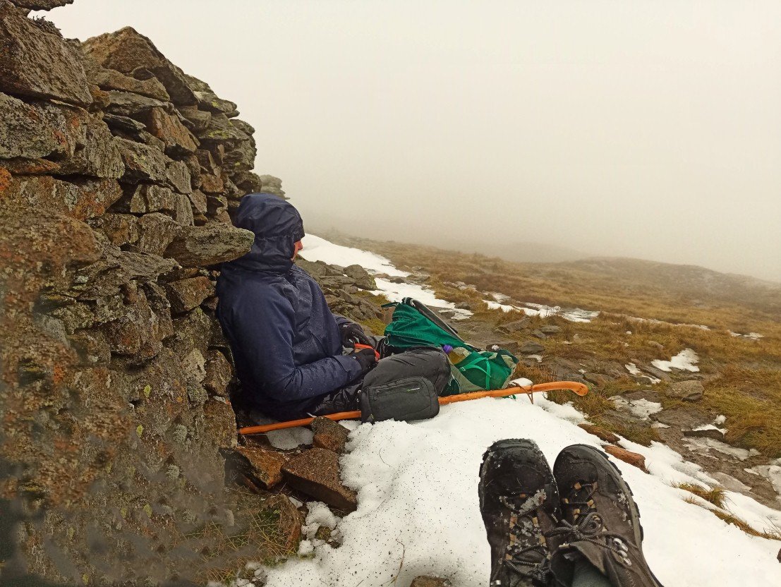
Mel taking a break and coming to the sensible decision that we should retreat.
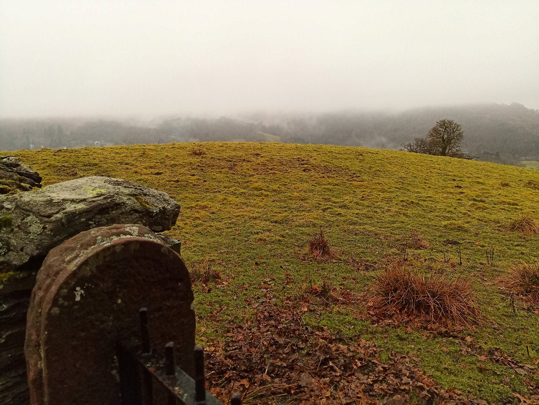
Slightly more of a view as we descend through Scandale.
.
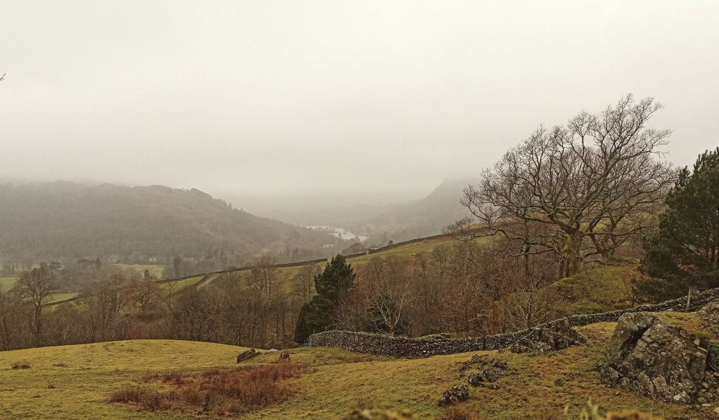
Nearly back down now Our pace suddenly increased when it was decided we would debrief with coffee and cake in a cafe.
Scroll forward eight days and I'm on my own exploring a place that I've seen countless time from the M6 but never visited.
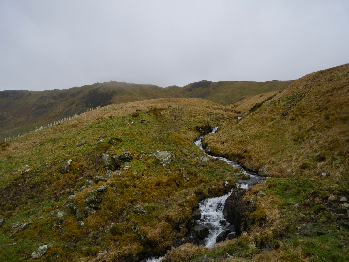
Once again the weather wasn't promising and although I set off in the dry I was soon donning my waterproofs just before I started the steep climb to Little Coum..
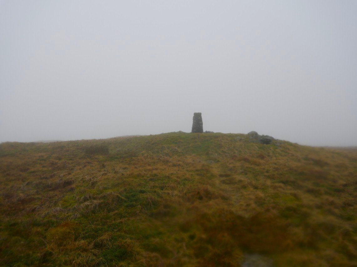
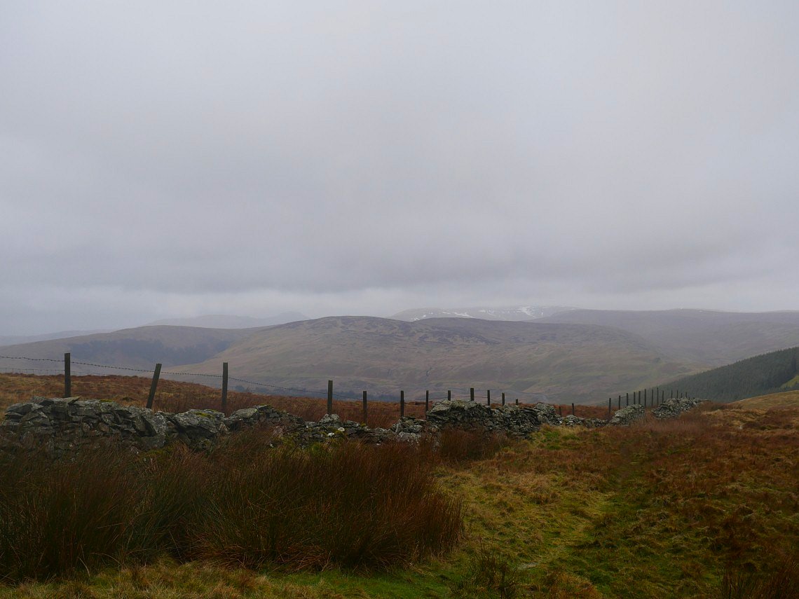
After battling with the wind and rain all the way up the steep climb of Little Coum I made my way across to the trig point on Greyrigg Forest.
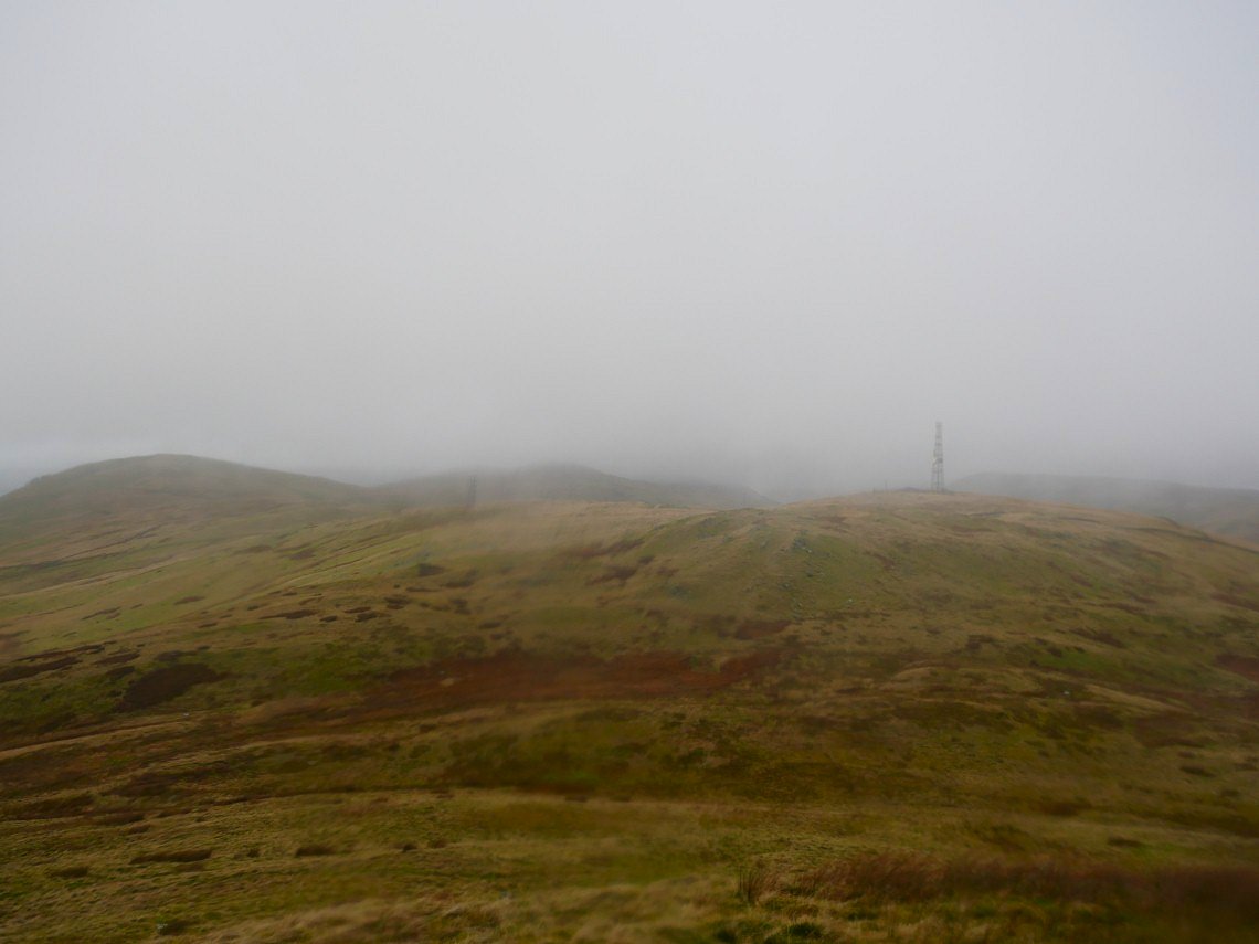
Whinfell Beacon ( seen here on the left ) is my next significant height to be visited but between here and there is a frankly quite miserable splodge up and down the hillside with only the ugly towers of the BT repeater stations to look at.
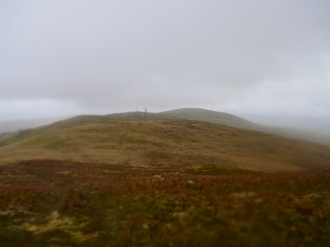
Looking back past the repeater stations to Greyrigg Forest from the start of the pull up to Whinfell Beacon which wasn't as hard as it looked when seen from a distance and a final painful hailstorm on the summit signaled the end of the bad weather so from then on I quite enjoyed the walk.
The Bannisdale fells ahead with the far eastern fell beyond that.
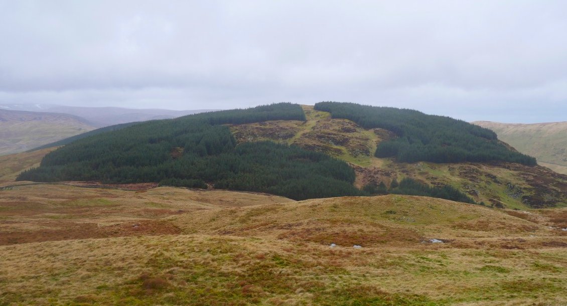
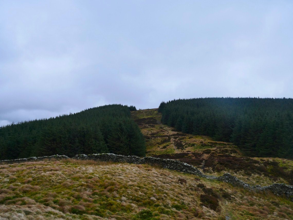
My next top was Mabbin Crag. I climbed it by way of the clear area on the right. I have since found out that there is a narrow path through the trees which would have saved me some re-ascent. I really should do this research before I do the walk rather than after :-).
I did get a nice view down in to Borrowdale though which I might not have got if I had followed the 'correct' path..
I have joined the quite clear path over Mabbin Crag and you can just make out the path disappearing into the trees. Just below me is the little basic bothy/shelter which again I only found about after I had done the walk.
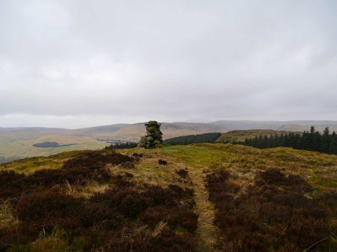
Lovely cairn on Mabbin Crag.
From Mabbin Crag there is a really enjoyable up and down walk across Ashstead Fell. This is looking back to the firebreak used to descend from Mabbin.
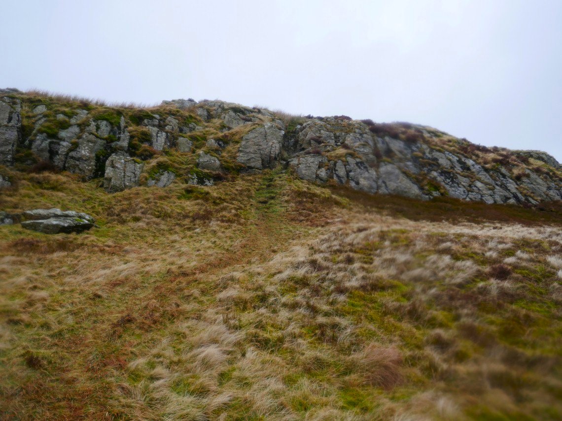
The path takes in this easy scramble over a small rock escarpment.
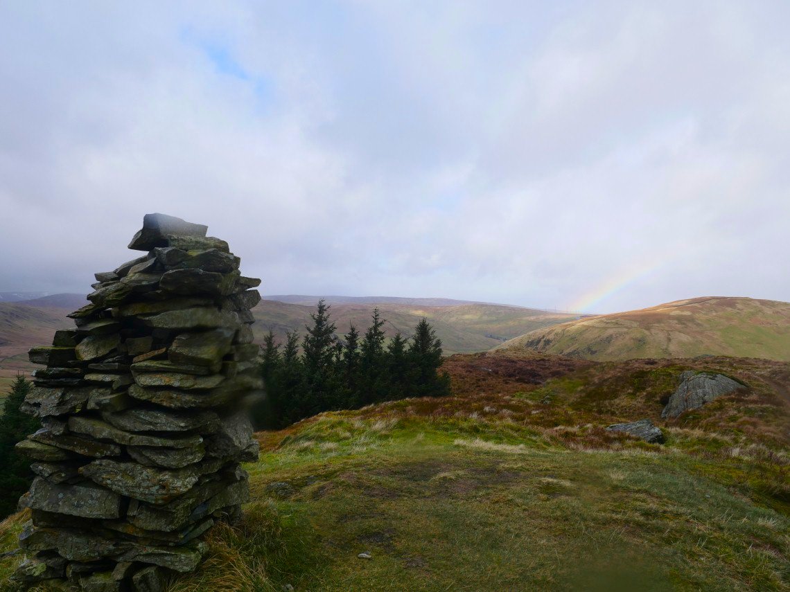
Another impressive cairn on the 455mtr top of Ashstead Crag.
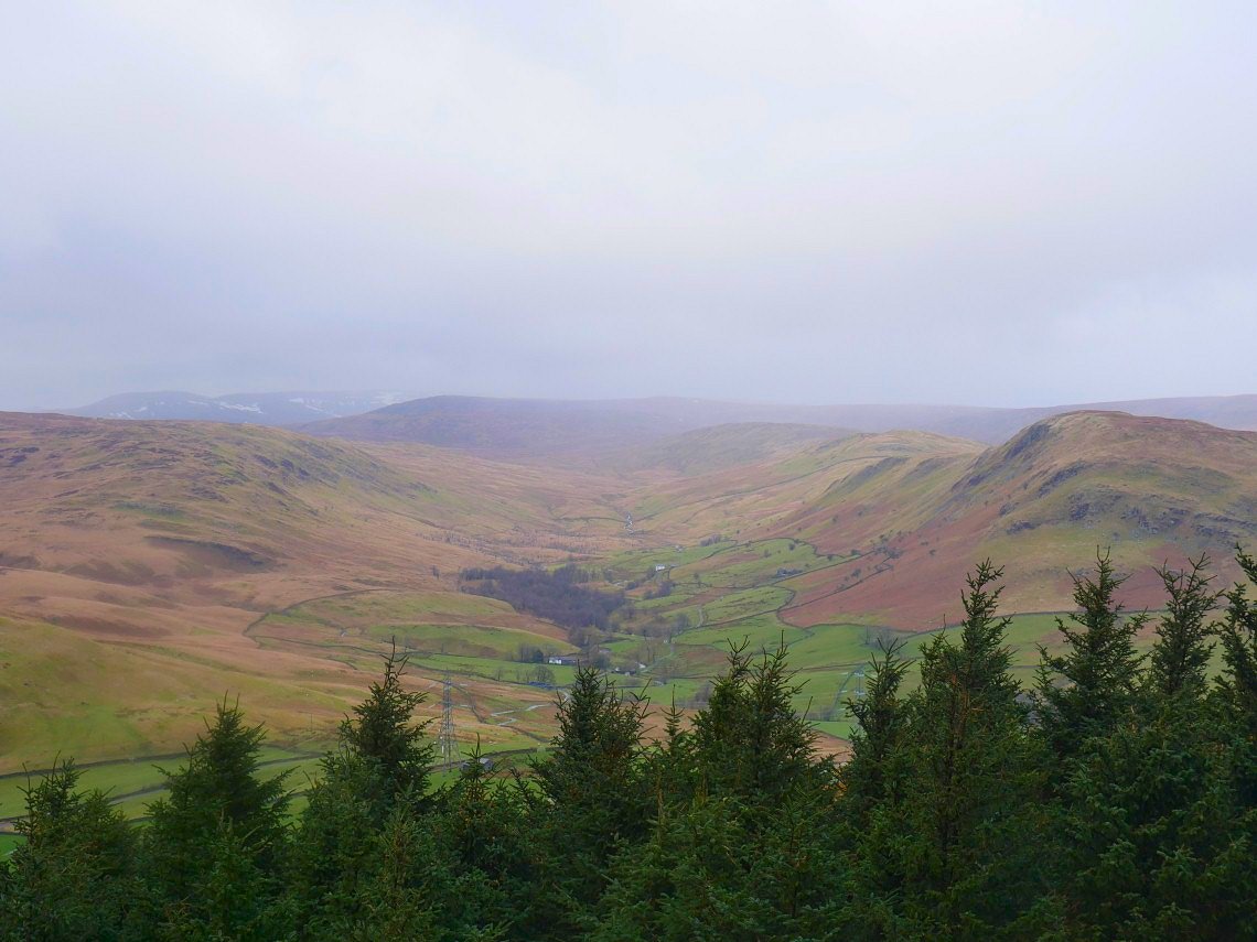
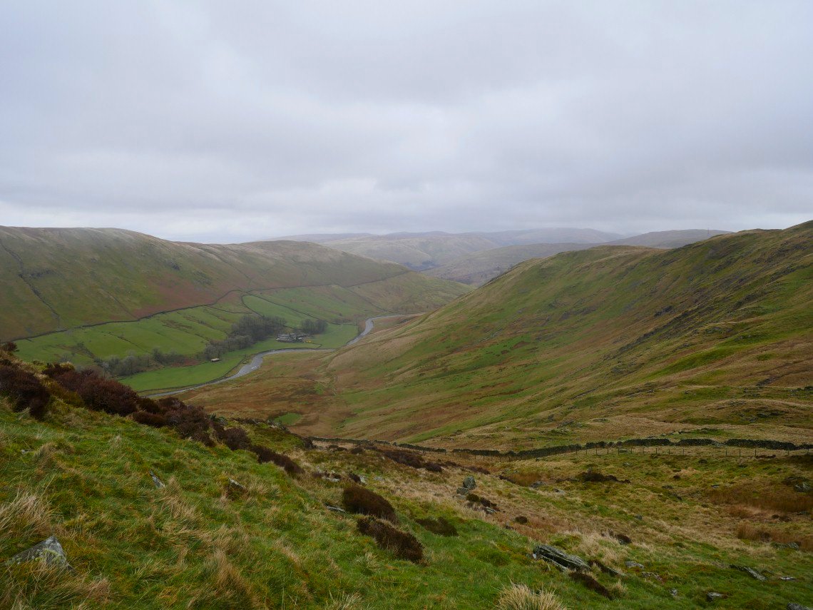
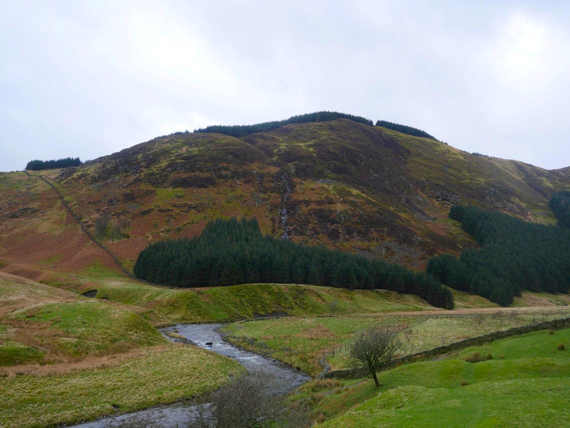
Looking across into the upper reaches of Borrowdale,. the Sleddale fells at the end with Grey Crag prominent. The fells on the right are High House Bank then Robin Hood and Lord's Seat all part of the Crookdale Horseshoe which I walked a few years ago in even worse weather than I've had today.
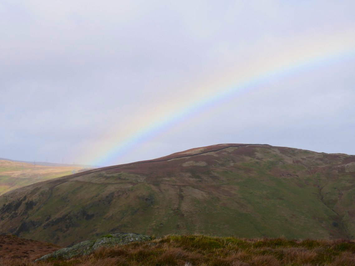
Rainbow over Whinash on he other side of the valley.
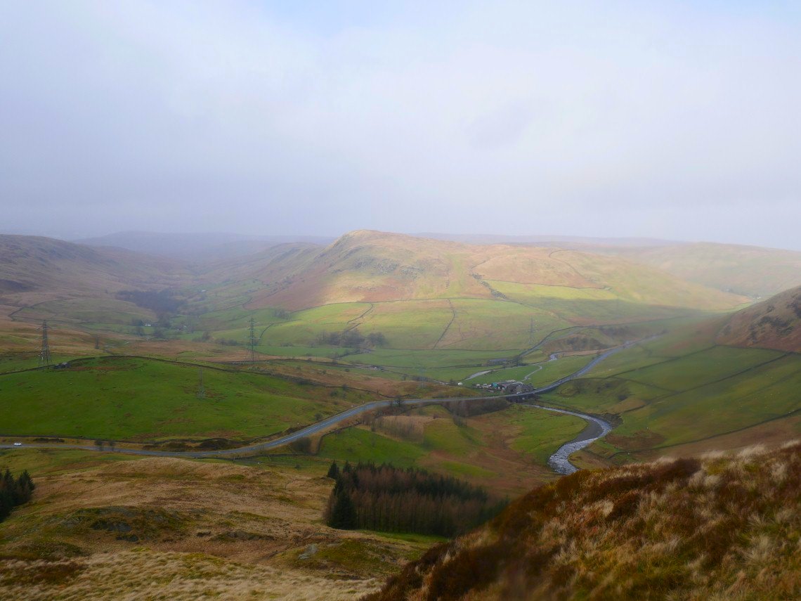
The A6 and Huck's Bridge below
Looking back up the ridiculously steep descent from Ashstead Fell. The path doesn't bother with zig zags it just comes straight down and was very slippery.
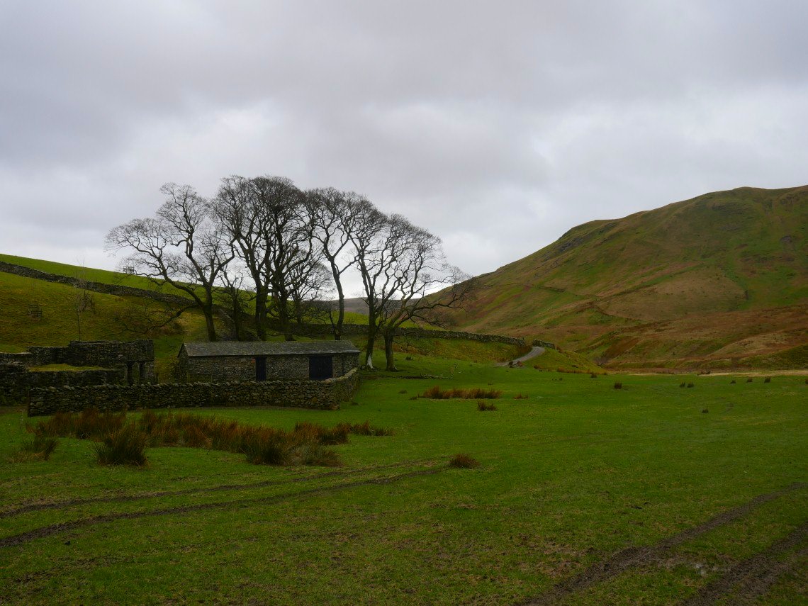
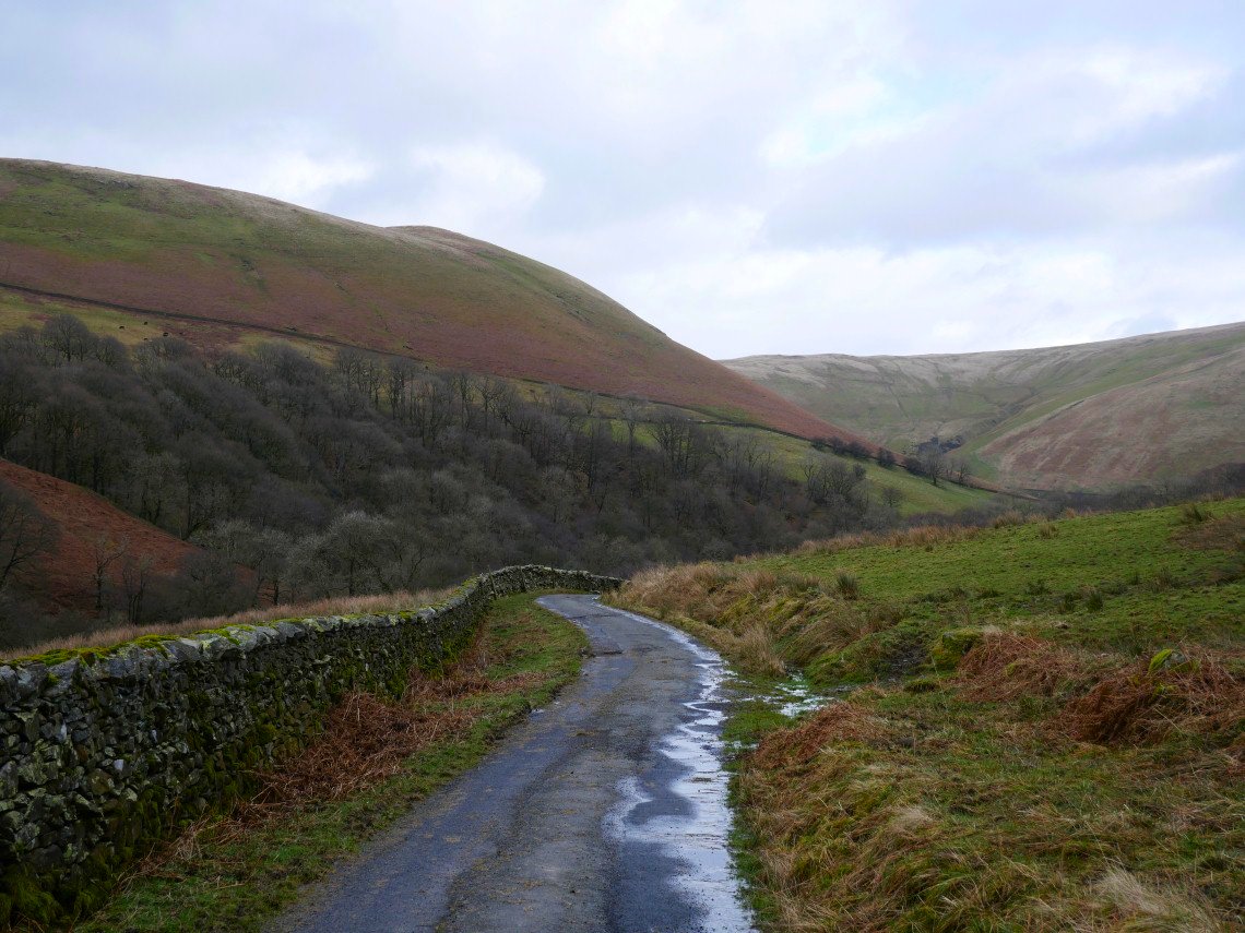
It's a nice easy mostly level walk back along the valley passing the ruined farm at High Borrowdale
Mabbin Crag from below.
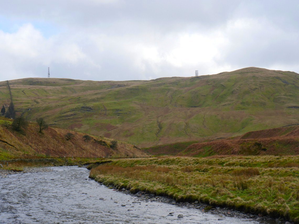
Further along and the repeater towers make an appearance.
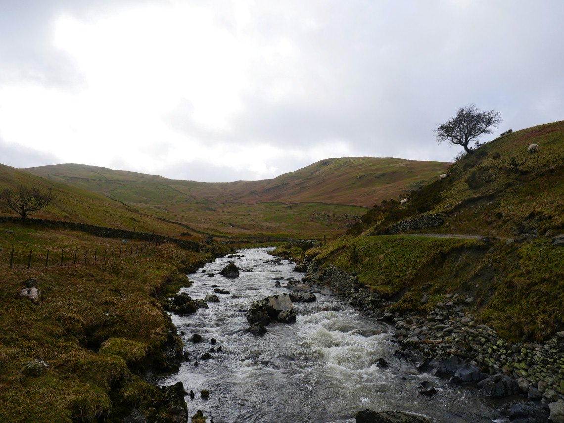
Looking back along Borrowdale from the bridge over Borrow Beck.
The track becomes a tarmac road and the noise from M6 tells you that you are nearly at the end of the valley. Jeffrey's Mount which is another prominent landmark from the motorway is the fell above.
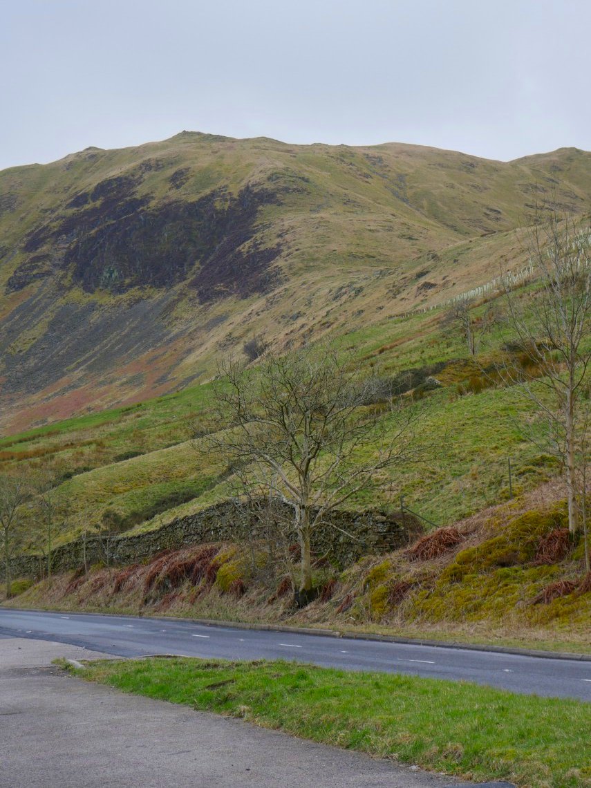
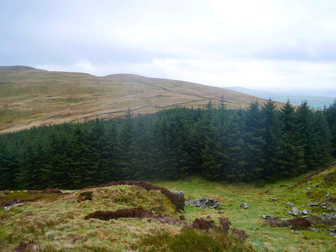
As It's clear when I return to the car I took another picture of the steep climb to Little Coum.