WWW.KARLSWALKS.CO.UK
PICTURES AND TRIP REPORTS FROM MY WALKS IN THE ENGLISH LAKE DISTRICT
|
E-mail - karl@karlswalks.co.uk |
Although I've walked around it and above it a few times I've never explored the full length of the Grenburn Valley so that's what I did today.
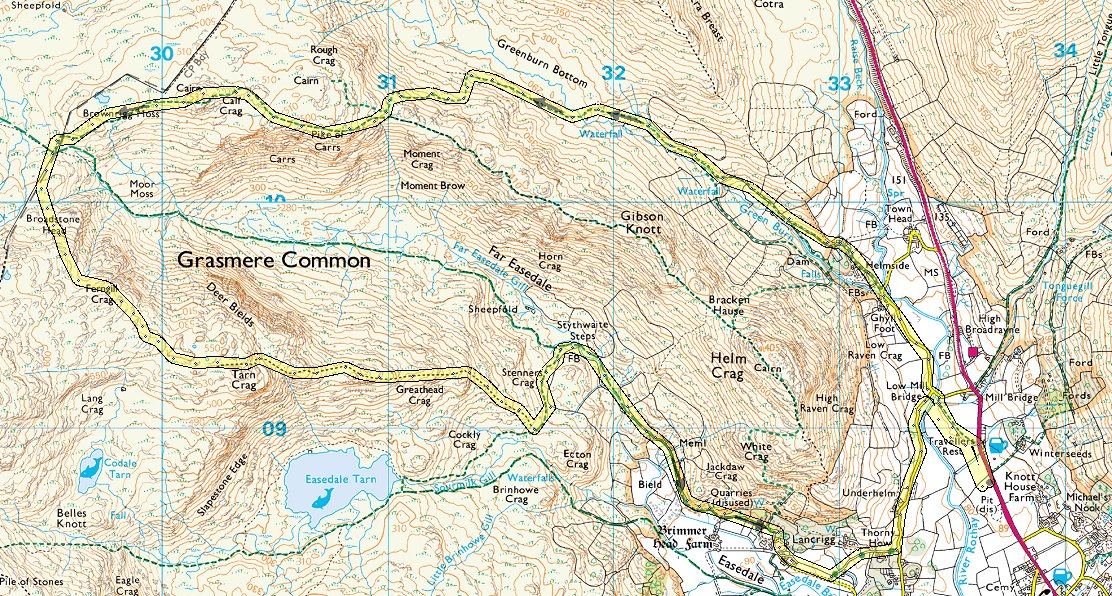
Arriving in the Lakes I was a bit disappointed with the weather, it had been blue sky and fluffy white clouds as I passed Lancaster but by the time I'd arrived at Grasmere the clouds had thickened and the cloud base looked quite low I'm heading for the Greenburn valley which lies between Steel Fell and the Helm Crag ridge. That's Steel Fell ahead and Greenburn is to the left.
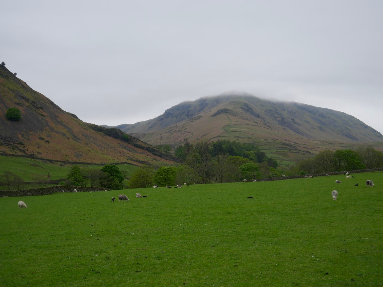
I'm parked in the long lay-by near the Travelers Rest so I have about a mile to walk before I reach the start of the valley, I cut the corner by walking across a field to these stepping stones off which I fell one icy day a few years ago.
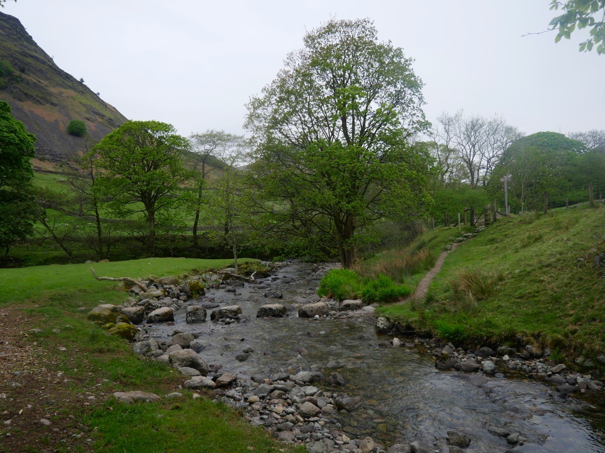
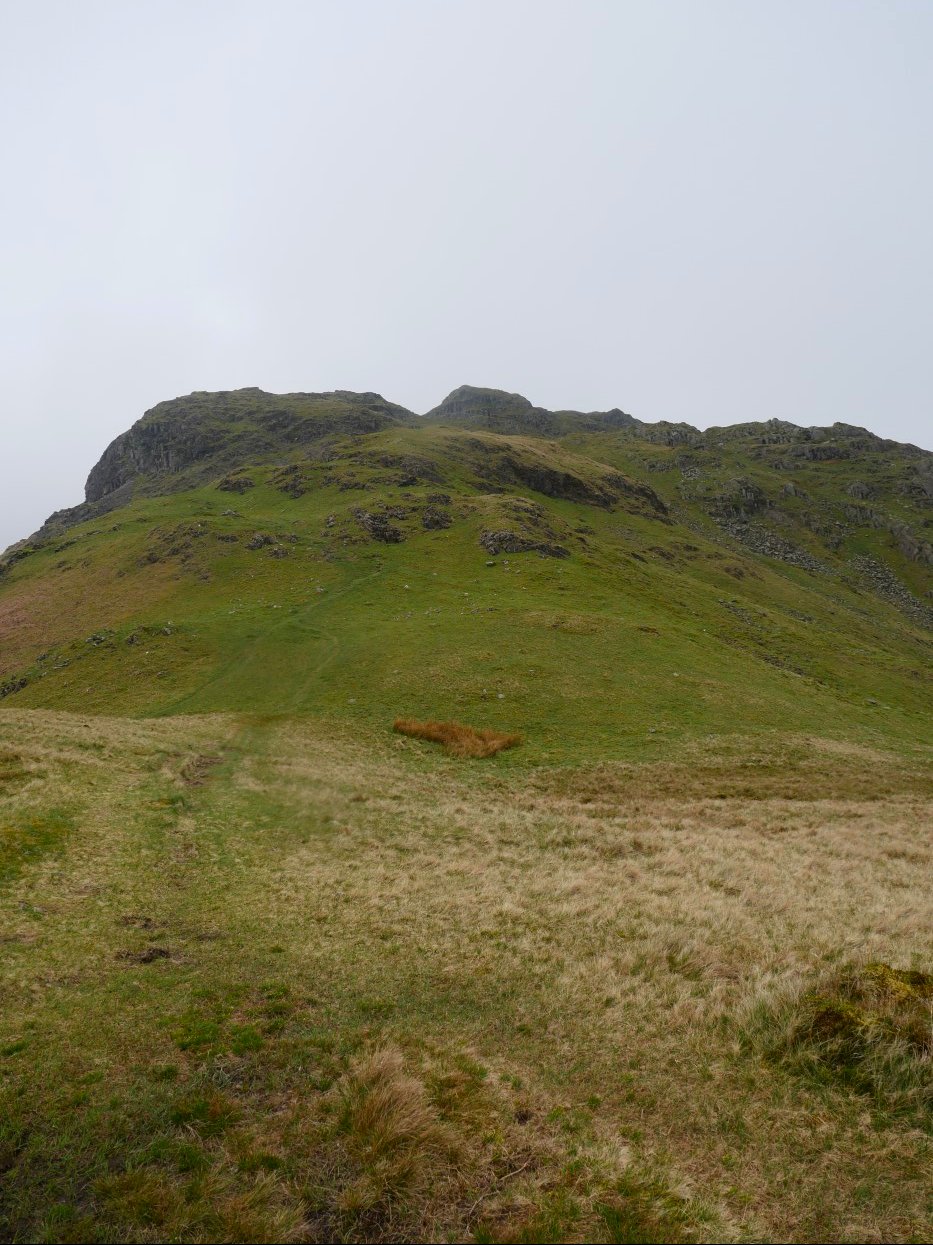
Into the start of Greenburn now. The steep climb to Steel Fell is on the right.
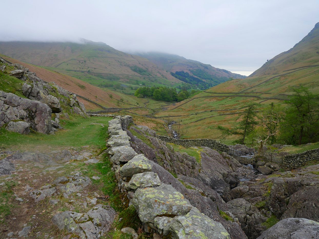
And looking back. As you can see there is quite a well made track to follow.
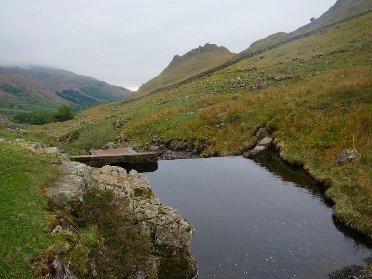
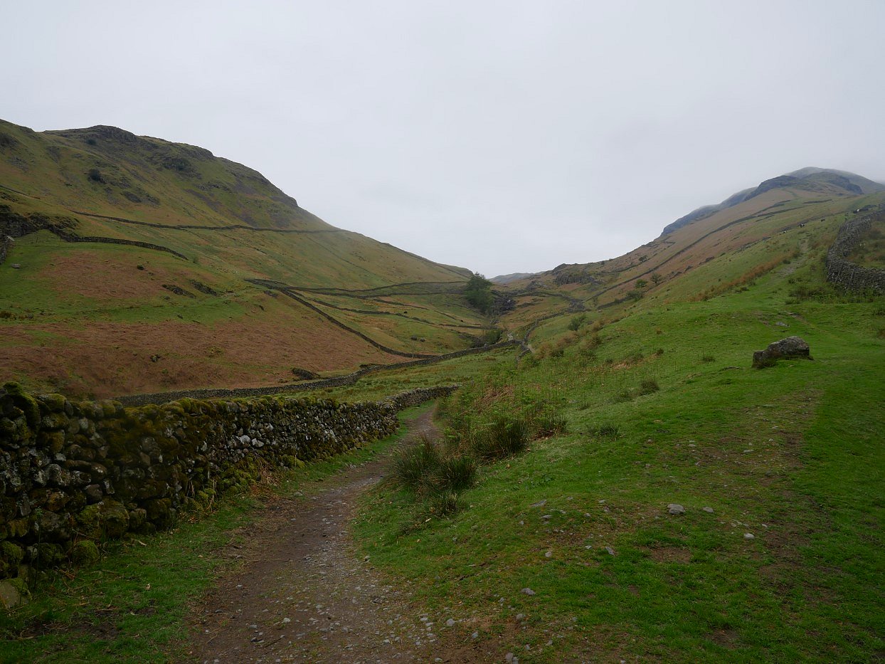
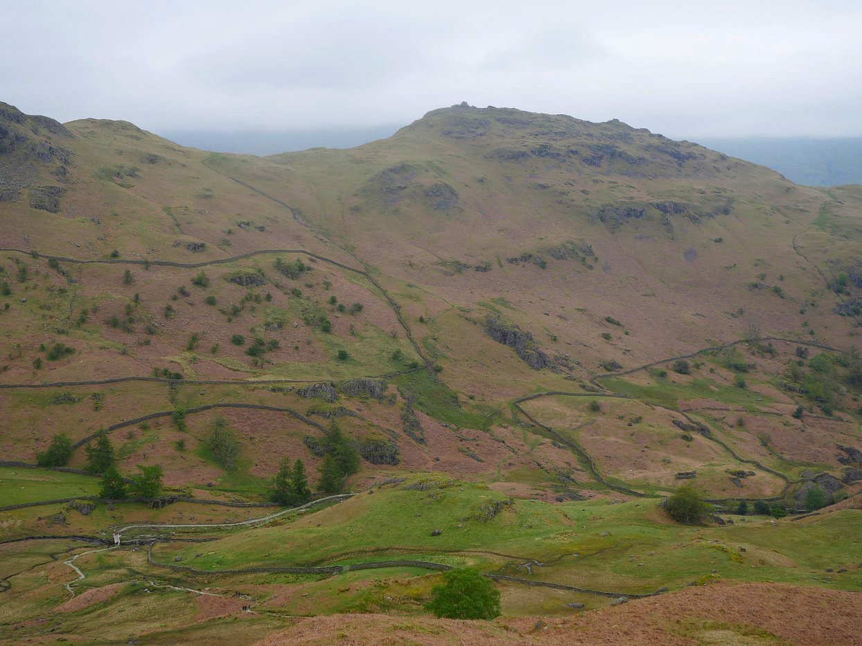
Not very far on the climb you pass this tiny reservoir. Helm Crag is the hill above to the right.
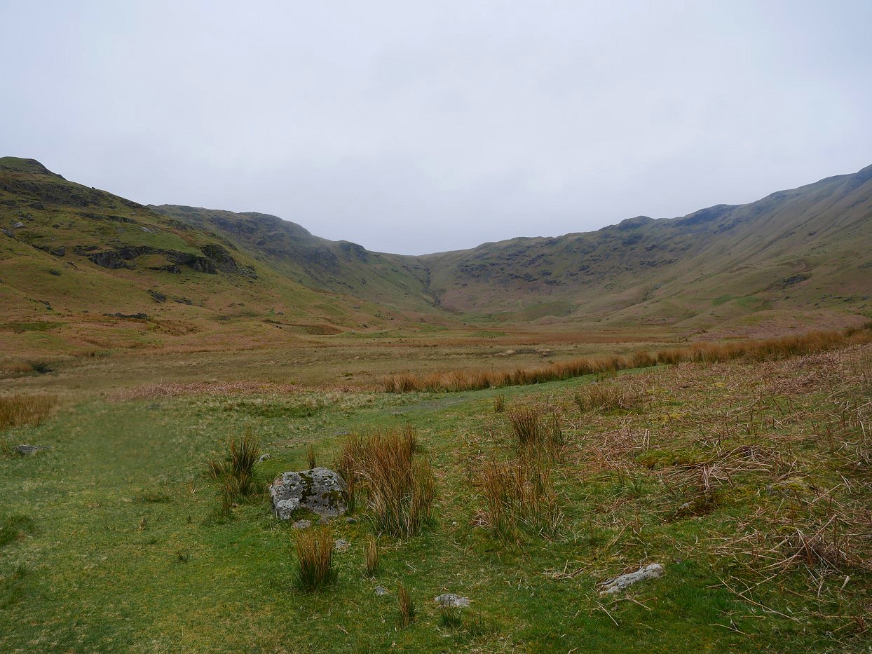
The path climbs quite gently and you are soon arrive at the big grassy bowl of Greenburn Bottom.
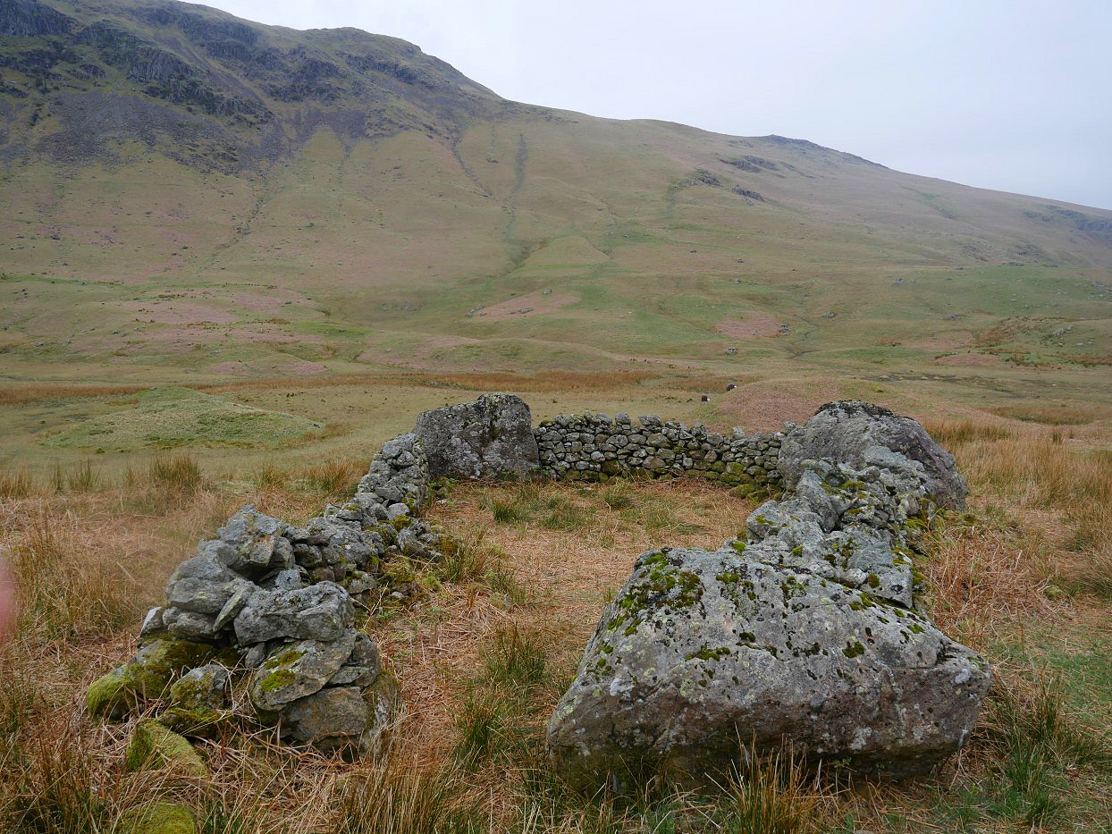
The path takes to the high ground on the left of the bowl passing this ancient sheep bield.
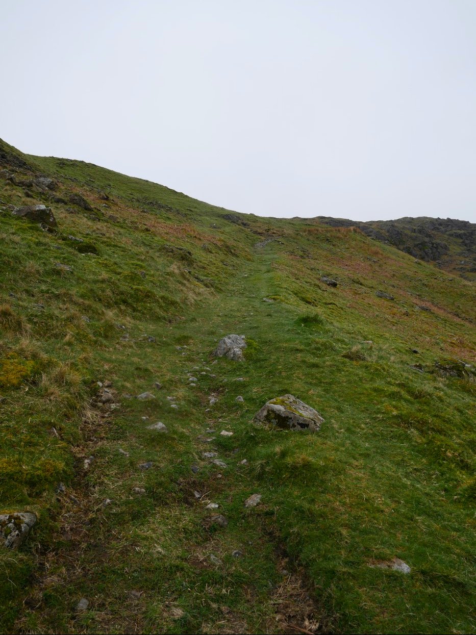
I've been impressed (and surprised) at the condition of the path through the valley, boggy bits have been rare and this nice dry grassy track takes you up the hillside towards the ridgeline between Calf Crag and Helm Crag.
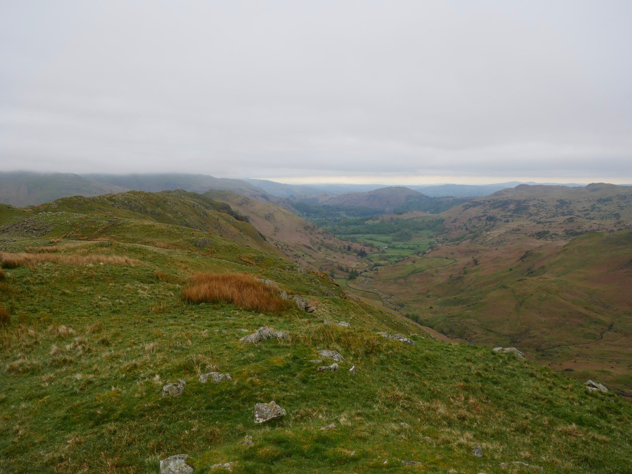
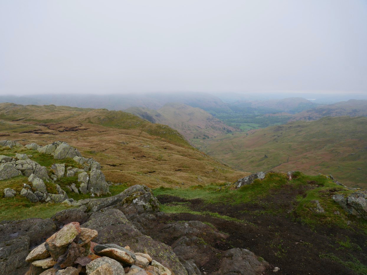
On to the ridgeline now and looking down to Grasmere and Loughrigg Fell.
And after a few minutes walking in the other direction Calf Crag appears.
The cloud has shown no signs of lifting which was a bit disappointing. This is looking across to the boggy Brownrigg Moss and the western ridge of Steel Fell.
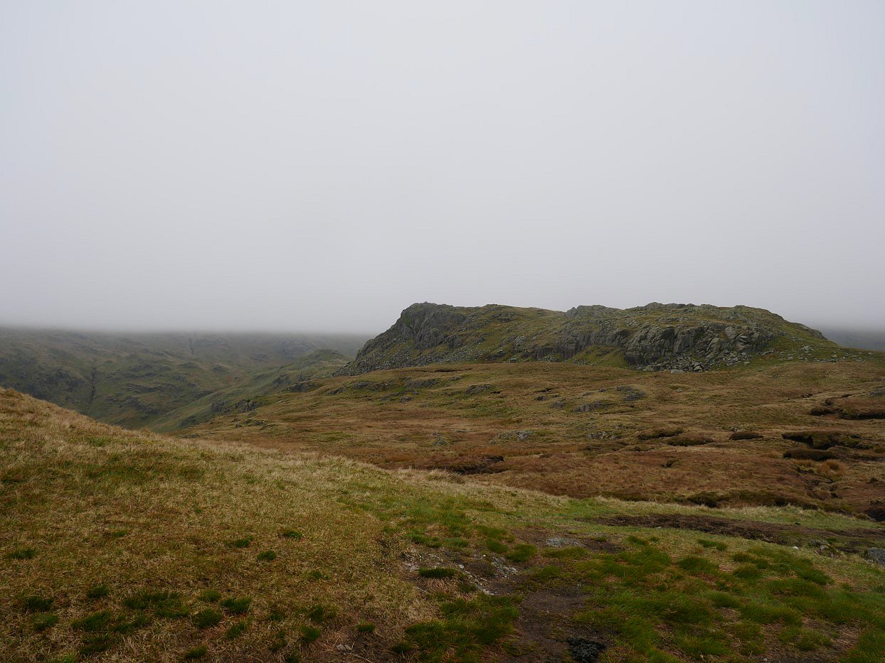
Another look southwards to Helm Crag from Calf Crag.
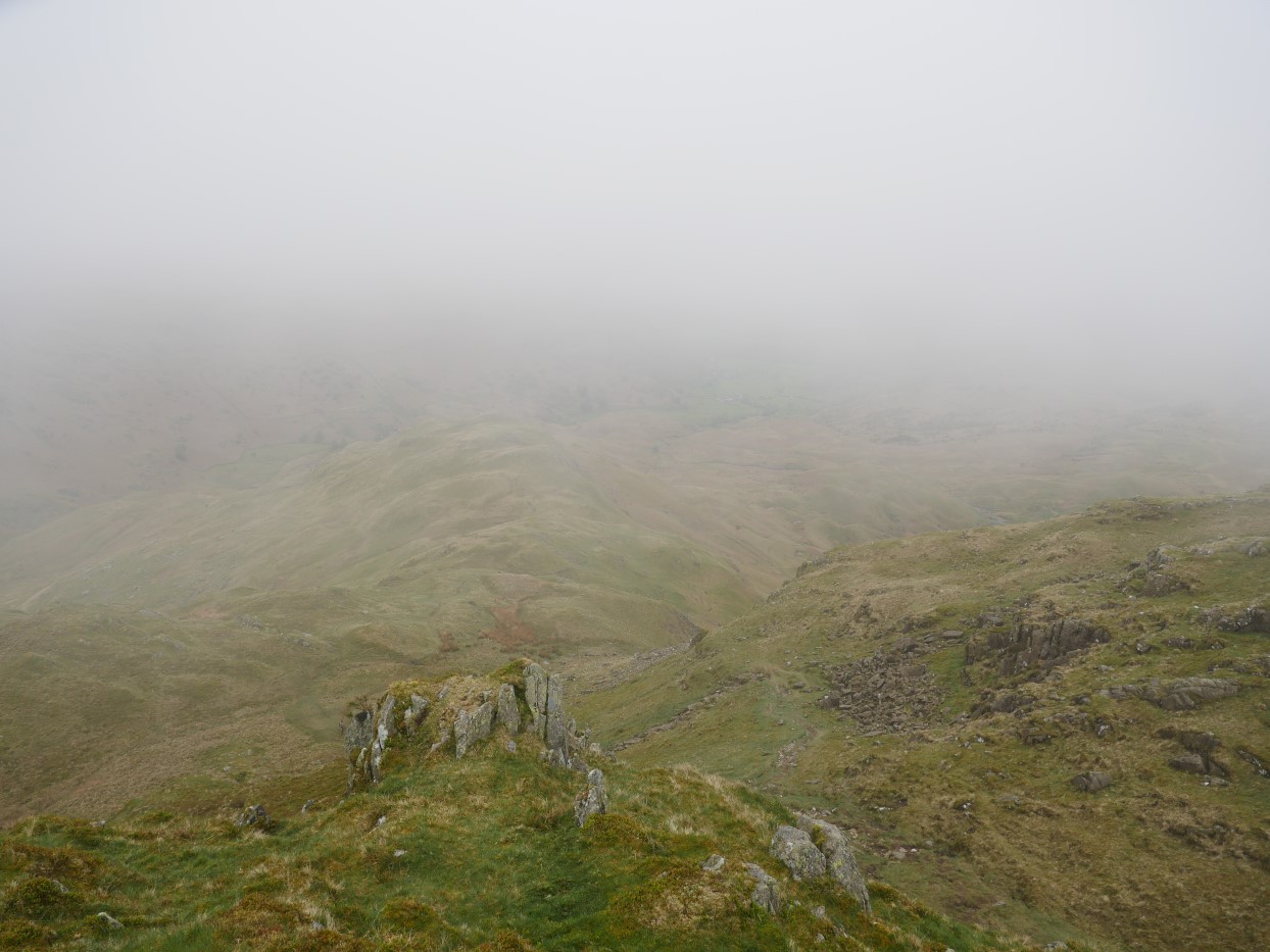
In planning my walk I was going to head up on to Greenup Edge and then over to High Raise and maybe even the Langdale Pikes but as mentioned the cloud seemed set in for the day so I decided to take an off piste route and head for Tarn Crag and descend to the valley from there. I have come back from Tarn Crag to Helm Crag this way many years ago and remembered that it was an interesting walk through some wild and wooley country. Here I'm looking back to the crossroads at the top of Far Easedale you can just make out the path in the centre of the photo.
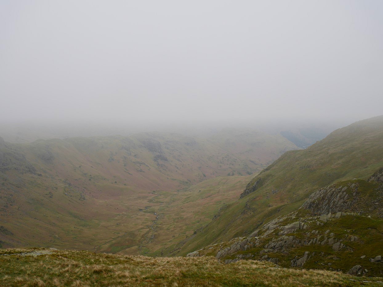
That's Far Easedale below from near Broadstone Head.
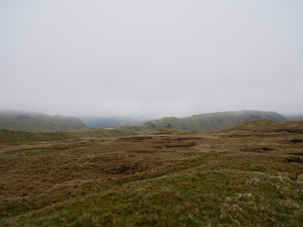
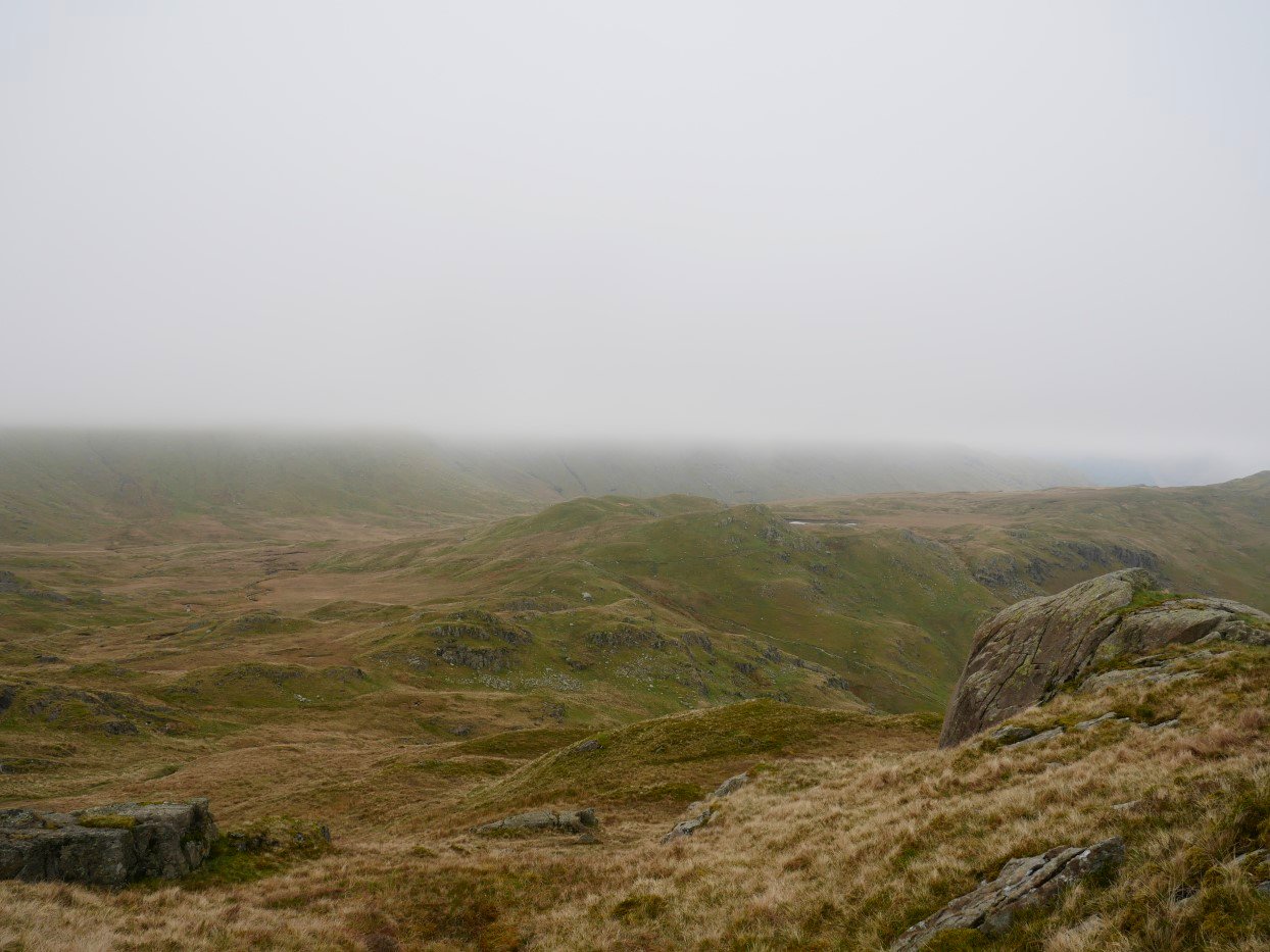
From the crossroads to Tarn Crag over Broadstone Head and Ferngill Crag is only a mile but it's a really enjoyable mile threading your way through the rocky outcrops and grassy hollows all the while trying to maintain height and direction. The view down from Tarn Crag today was not very extensive.
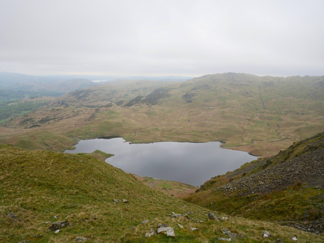
But as I descend Easedale tarn comes into sight.
A look back up to Tarn Crag.
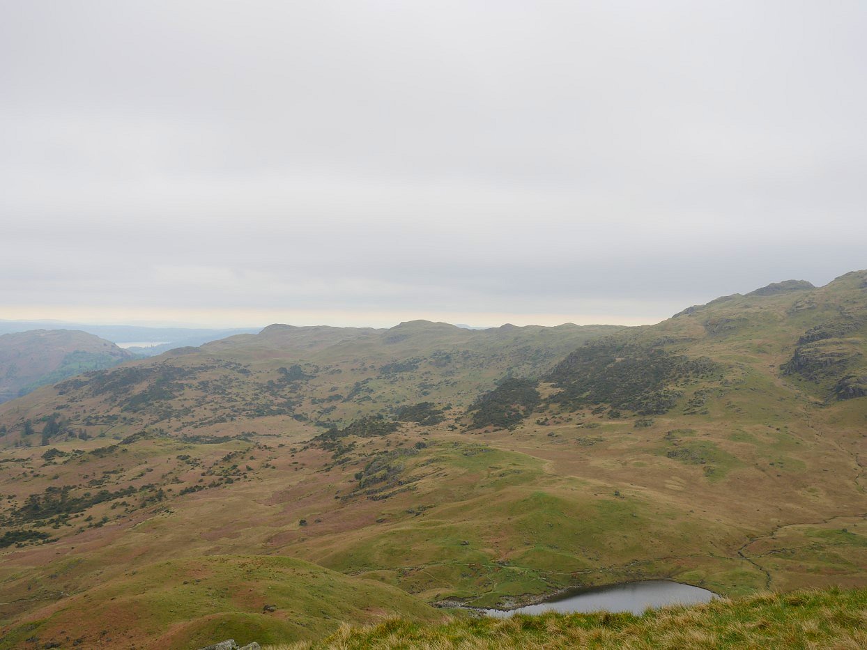
A much improved view from lower down to the long ridge above Great Langdale with Blea Rigg to the right, Lang How in the centre and Silver How to the left. Windermere is the water on the far left.
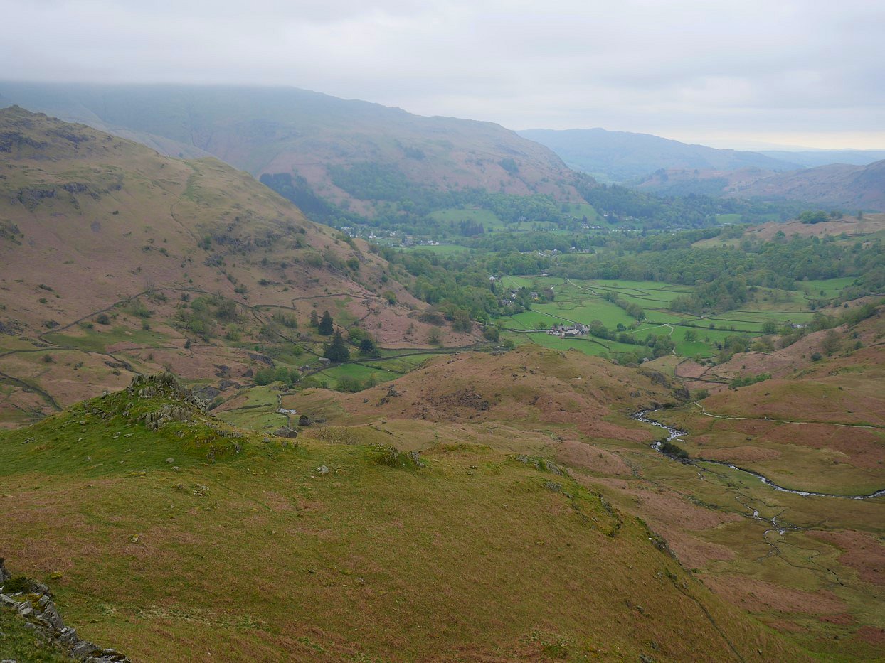
The vale of Grasmere and the village come into sight.
Helm Crag with the summit rocks on the left end and the Lion and the Lamb on the other.
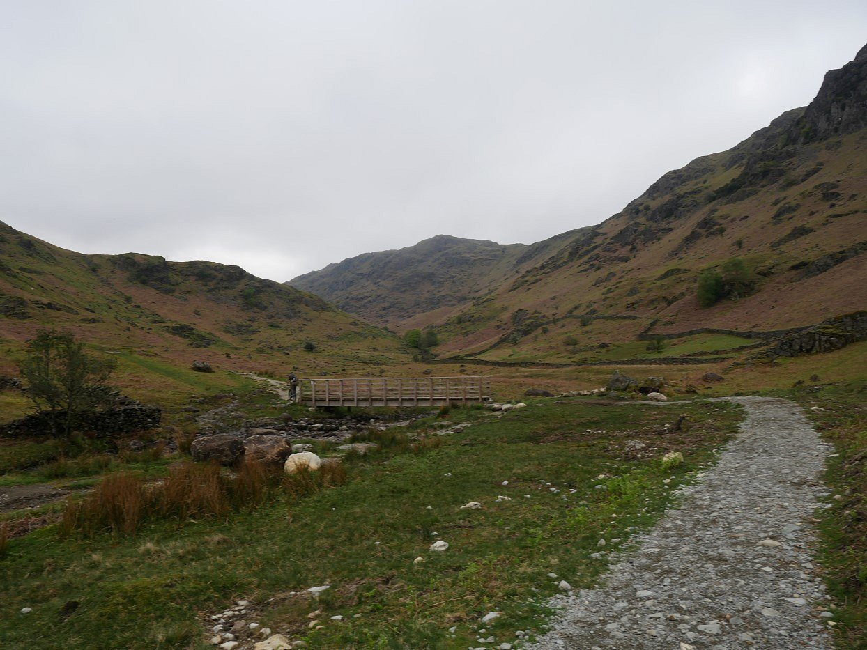
Looking past the bridge at Stythwaite Steps into Far Easedale.
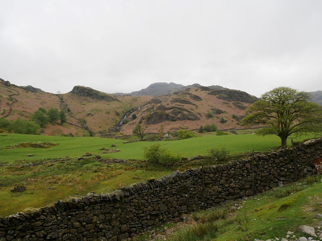
Sourmilk Gill tumbles down from Easedale Tarn. Tarn Crag is the high ground behind.
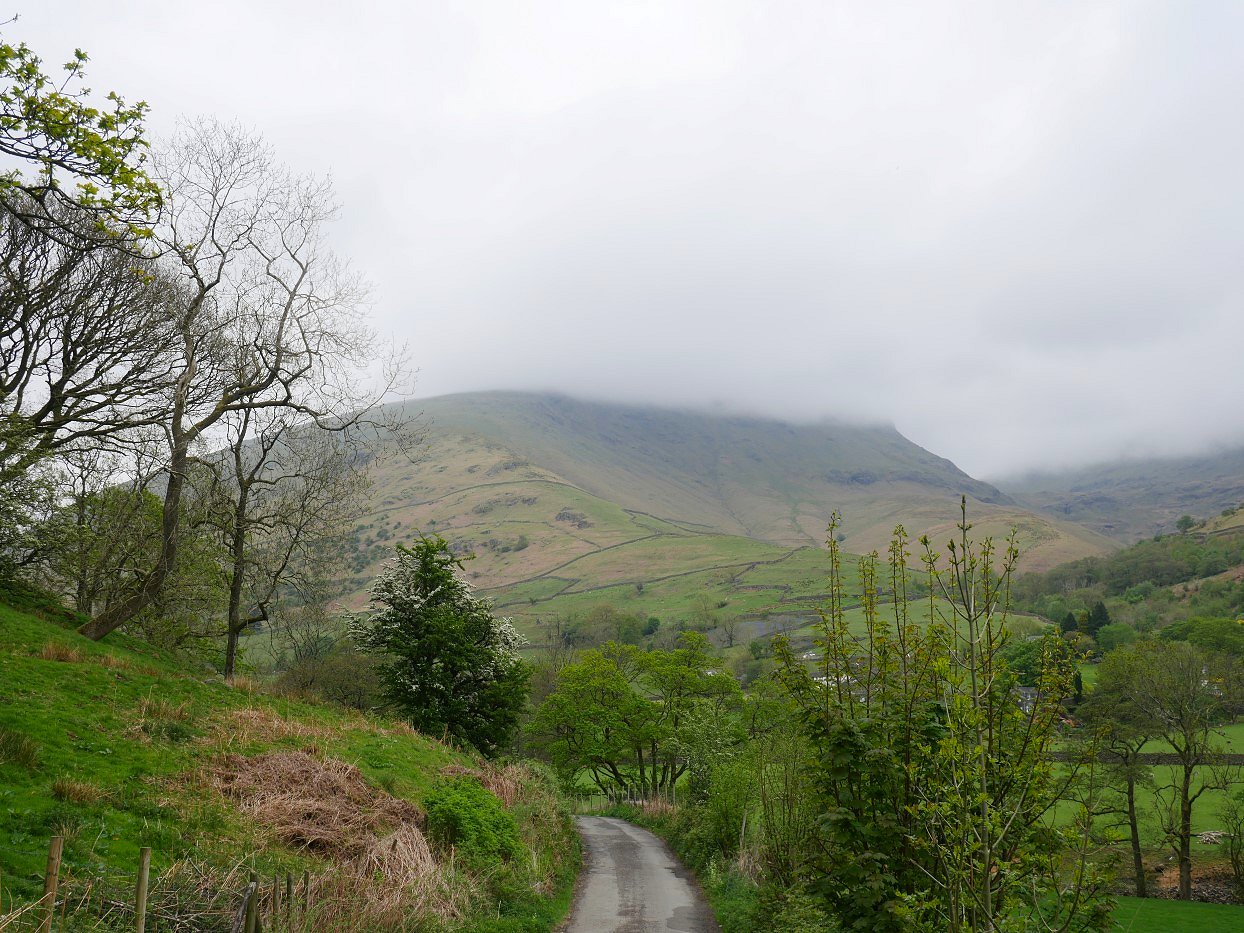
On the road back to my car now and Seat Sandal is well covered. I think the cloud has not lifted one bit.
Previous walk - Howes Tarn wildcamp - Next walk - Eskdale