WWW.KARLSWALKS.CO.UK
PICTURES AND TRIP REPORTS FROM MY WALKS IN THE ENGLISH LAKE DISTRICT
|
E-mail - karl@karlswalks.co.uk |
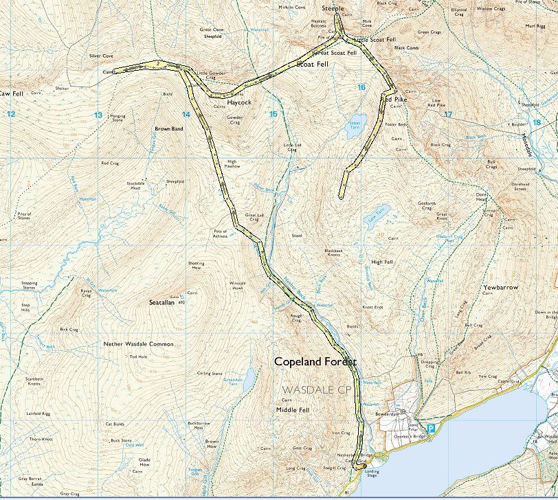
A long awaited fine week-end could not be wasted so I loaded up the tent and made the long drive to Wasdale with a plan to climb a few of the western fells and camp on the high ground between Low Tarn and Scoat tarn that I'd walked over in 2018.
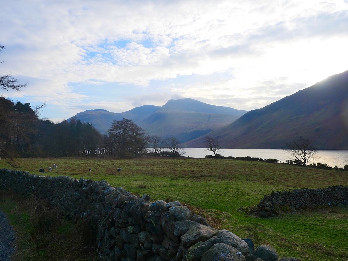
A little bit of high cloud over the Scafell group when I arrived. I was quite early but even so I took the last of the off road parking spots just before Netherbeck bridge.
From the rear of the car parking spaces I crossed some wet ground to meet the path heading into the valley of Nether Beck. If all goes to plan tomorrow I should be traversing Yewbarrow which is seen here on the right.

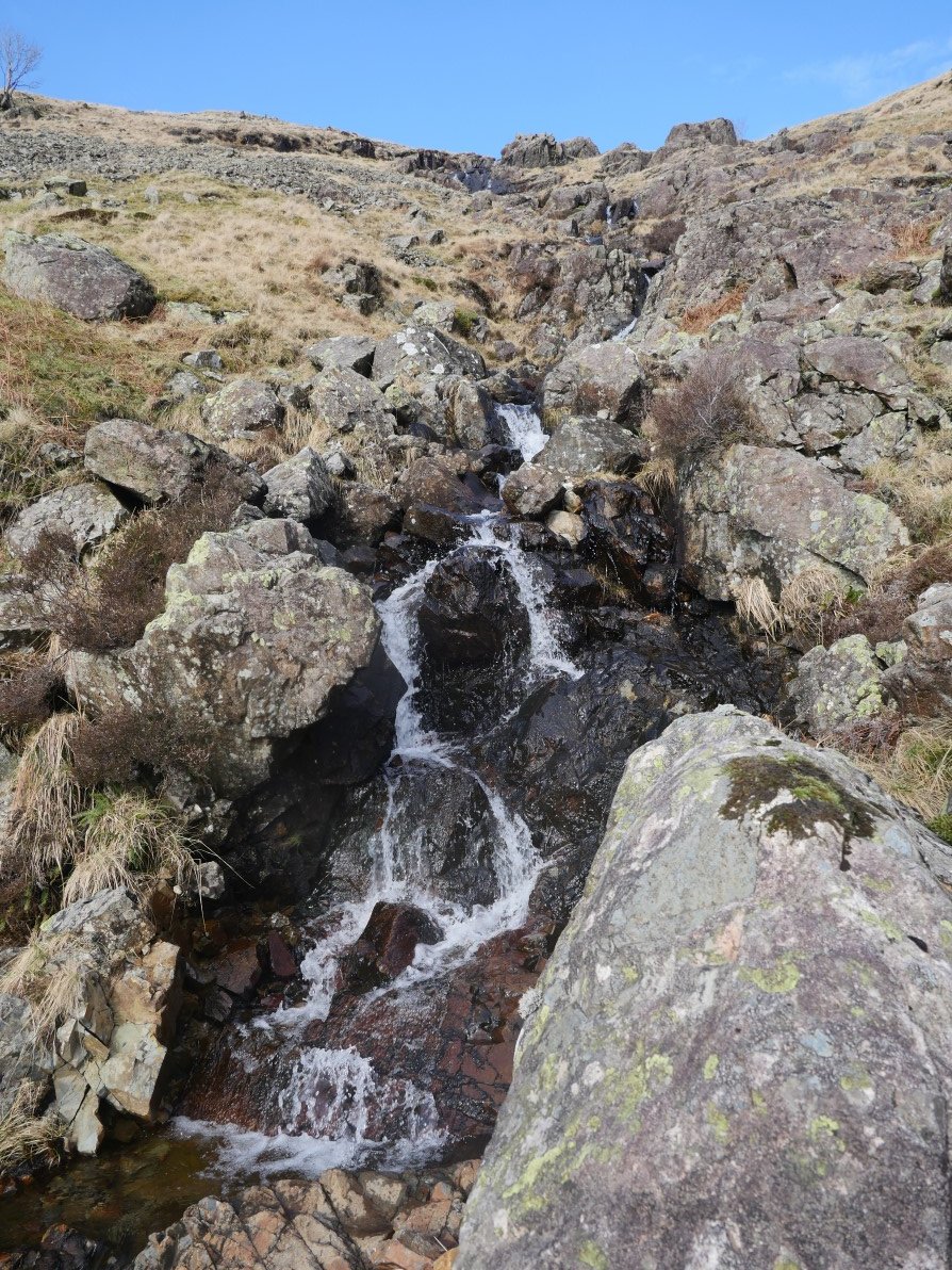
The path starts a very gentle climb at first passing these lovely falls. High Fell is on the other side of the valley.
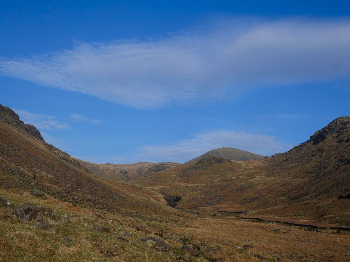
As I walked further along I could see Haycock in the background where I hoped to be later. The cloud has lifted but it's now quite windy but it was a warm ( for March ) breeze.
.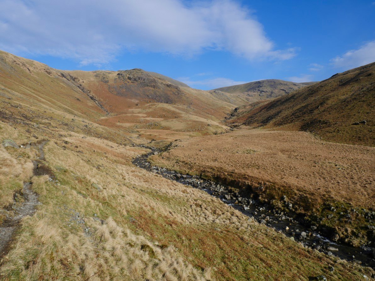
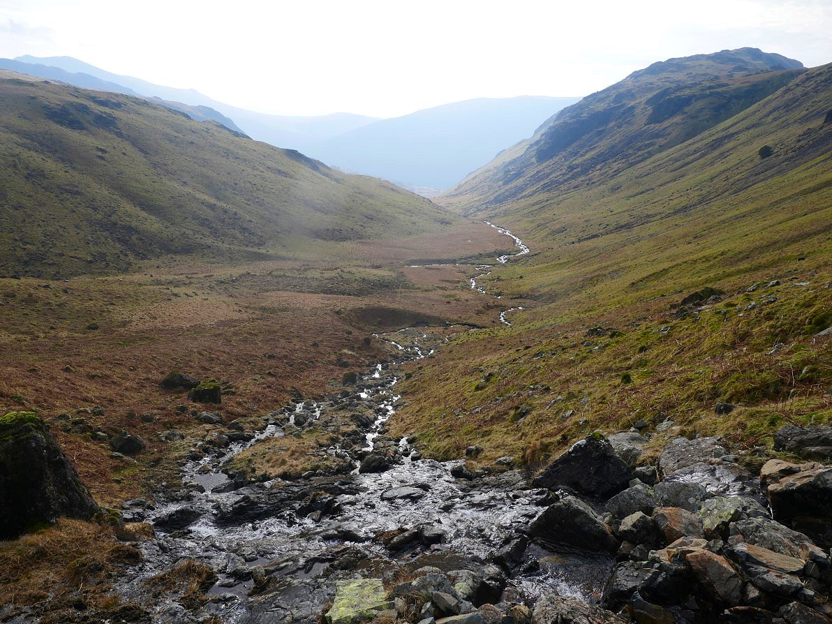
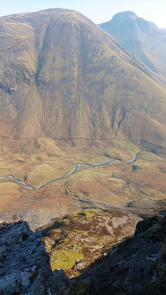
The valley becomes more wild in it's upper reaches. My escape route is up following the course of Ladcrag Beck which is on the left.
Zooming in I can see what looks like a thin path up the hillside but in the end I stuck to the course of the beck crossing over and back when needed.
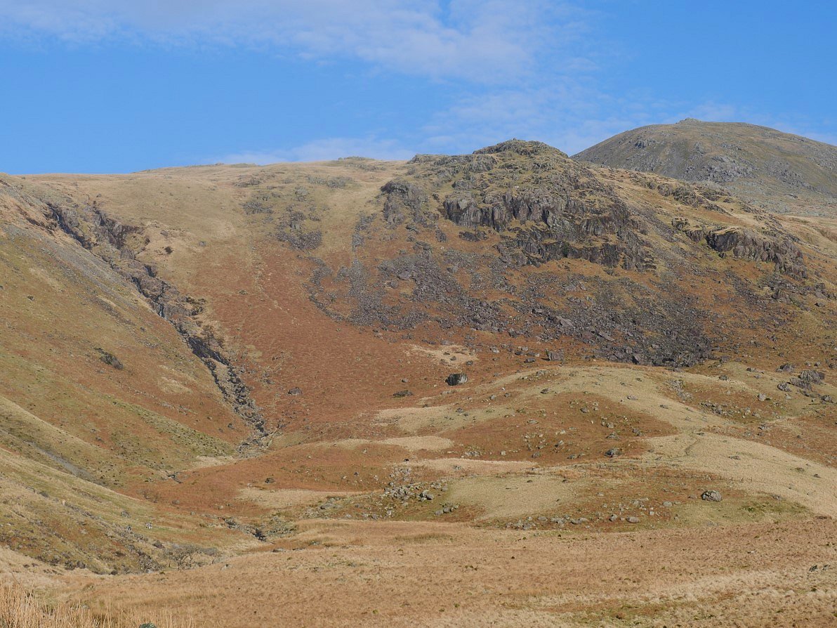
Looking up on the climb.
And looking back along the valley.
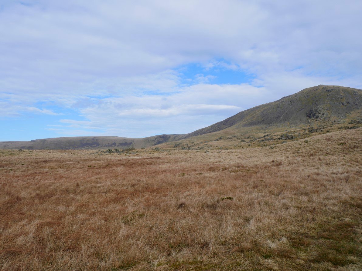
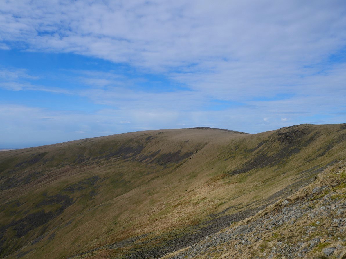
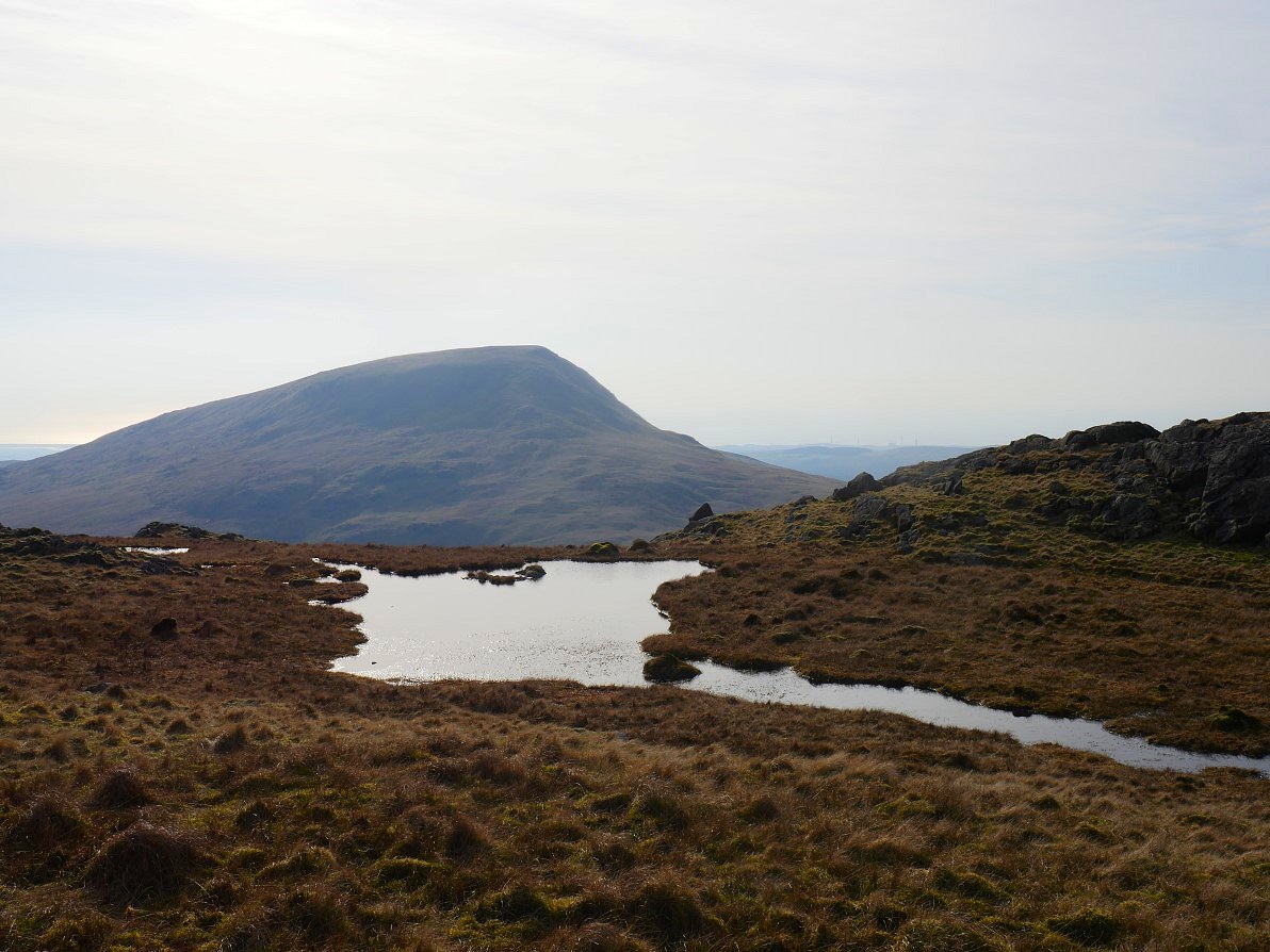
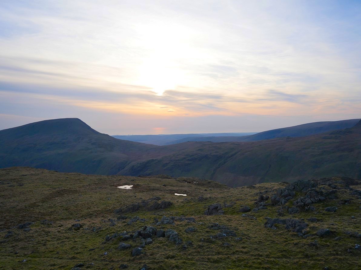
On to the grassy plateau of the Pots of Ashness and looking to Caw Fell which is the highest point of the ridge in the distance.
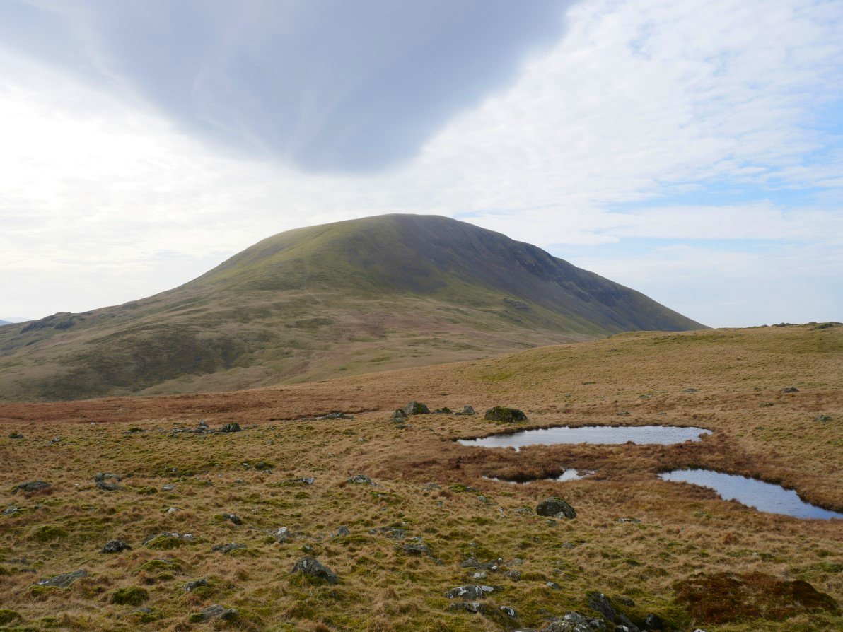
Seatallen with a strange cloud above. From here I contoured around the lower slopes of Haycock to pick up a thin trod across Brown Band.
Having a look down into Blengdale on my way.
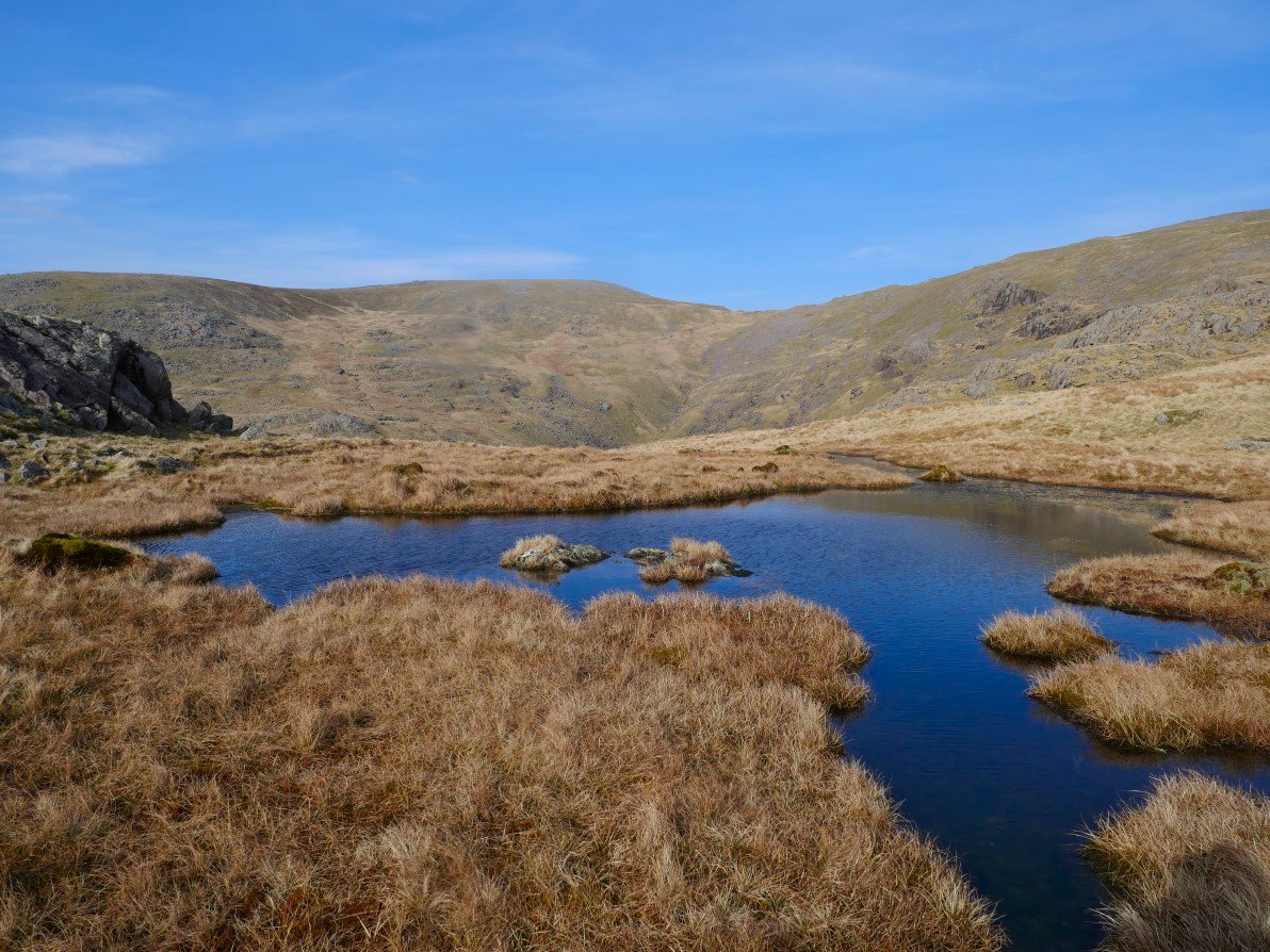
Crossing Brown Band. I've got a feeling that as the path petered out I might have climbed up to the ridge a little too soon.....
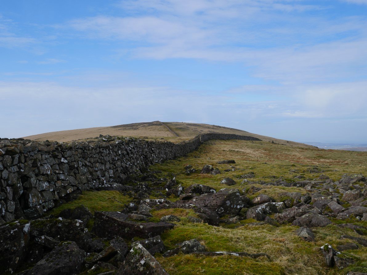
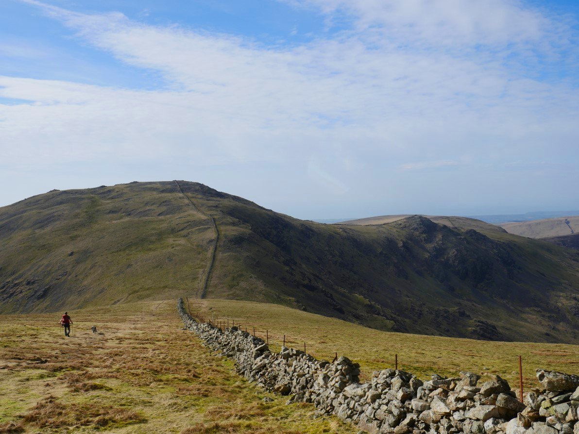
.... but it didn't really matter as I knew that sooner our later I would meet the Ennerdale Fence which would guide me Caw. I've crossed over to the northern side of the wall because that's where the summit of Caw is and also to take shelter the wind had got up and was blowing quite strongly from the south.
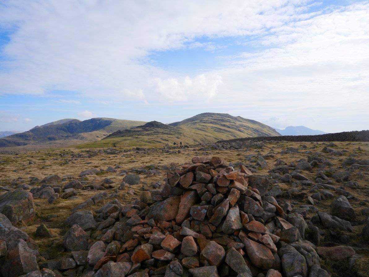
On to Caw now and looking to my route back to Little Gowder Crag and Haycock.
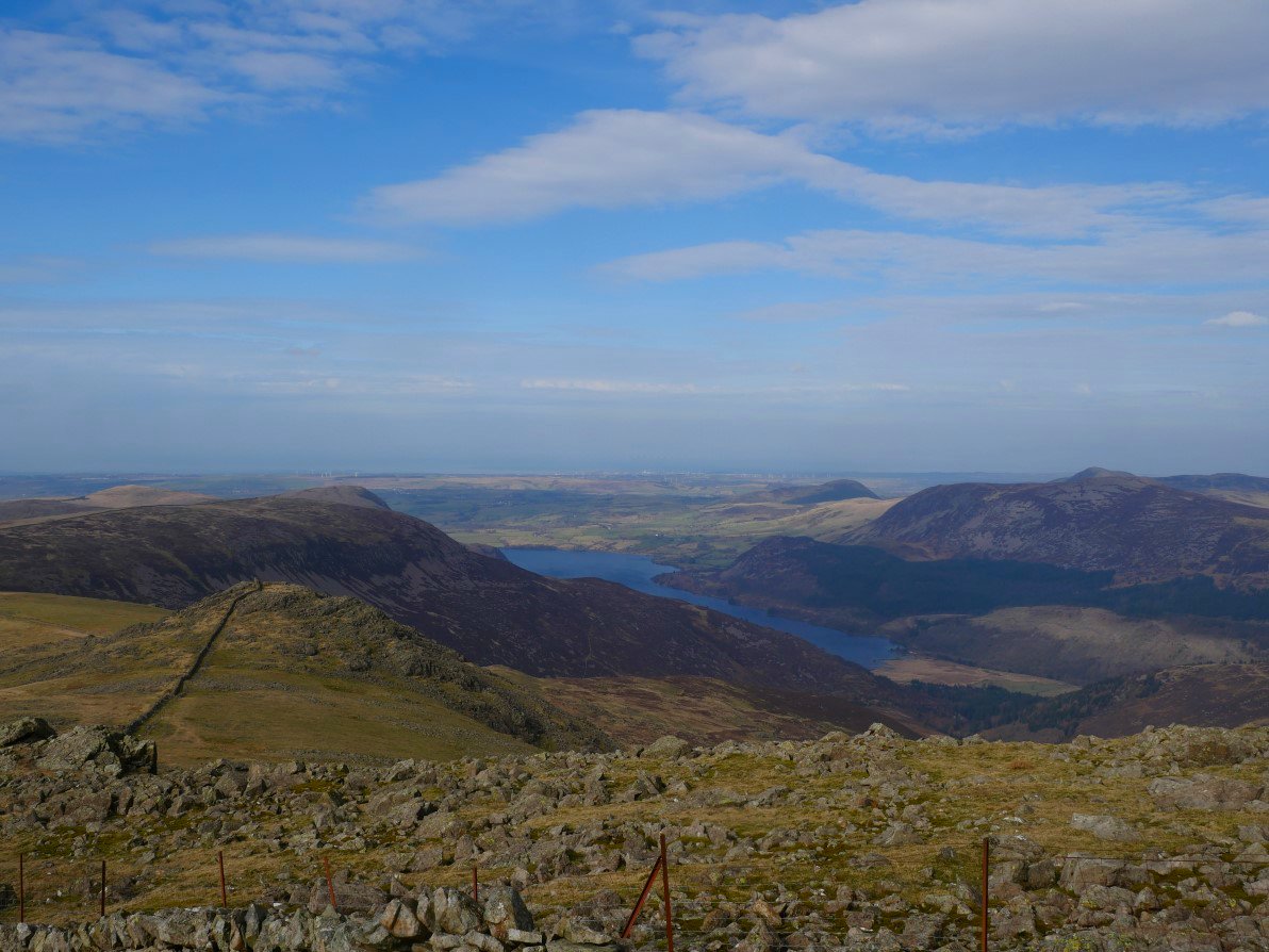
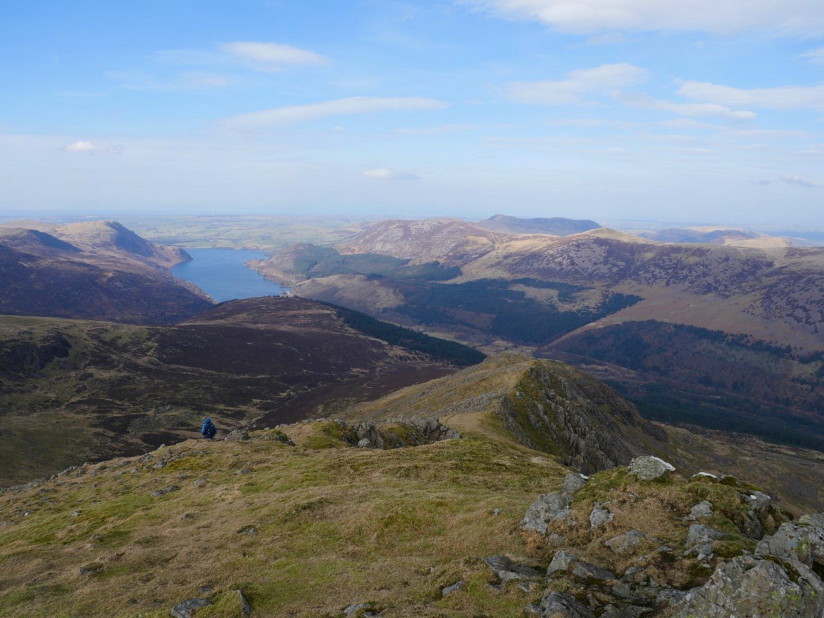
Ennerdale Water and some of the hills around it from the climb to Haycock.

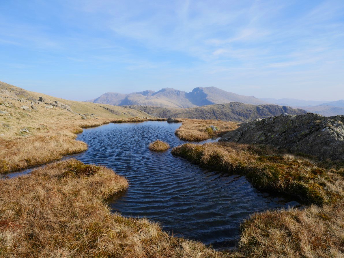
From Haycock I can see Scoat Tarn and the higher ground to its right where I'm hoping to camp. The Scafell group form the horizon.
Haycock and Little Gowder Crag from the grassy plod to Scoat Fell.
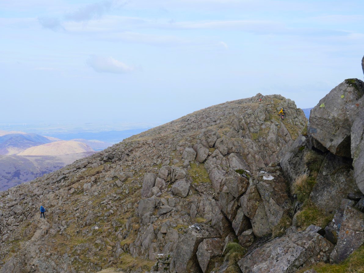
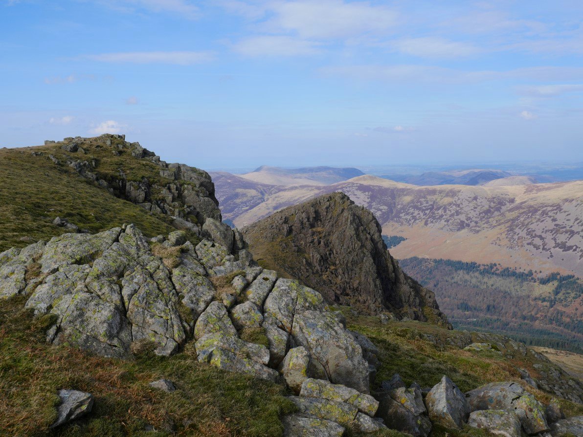
Before I reach Scoat Fell I make the short but exciting out and back to Steeple. The chap in the yellow coat had descended down a tricky looking gully to rescue his dog.
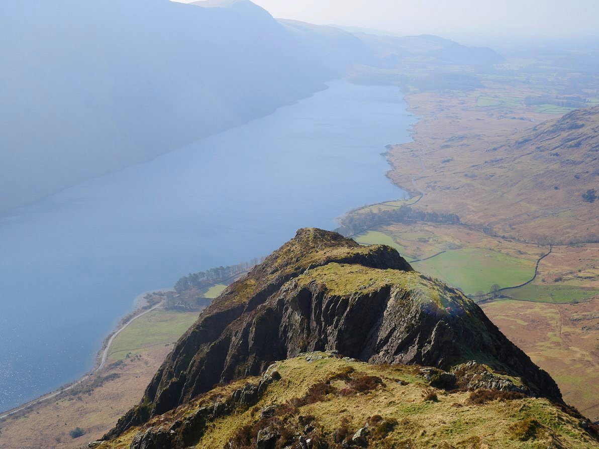
The superb northern ridge of Steeple which drops down into Ennerdale.
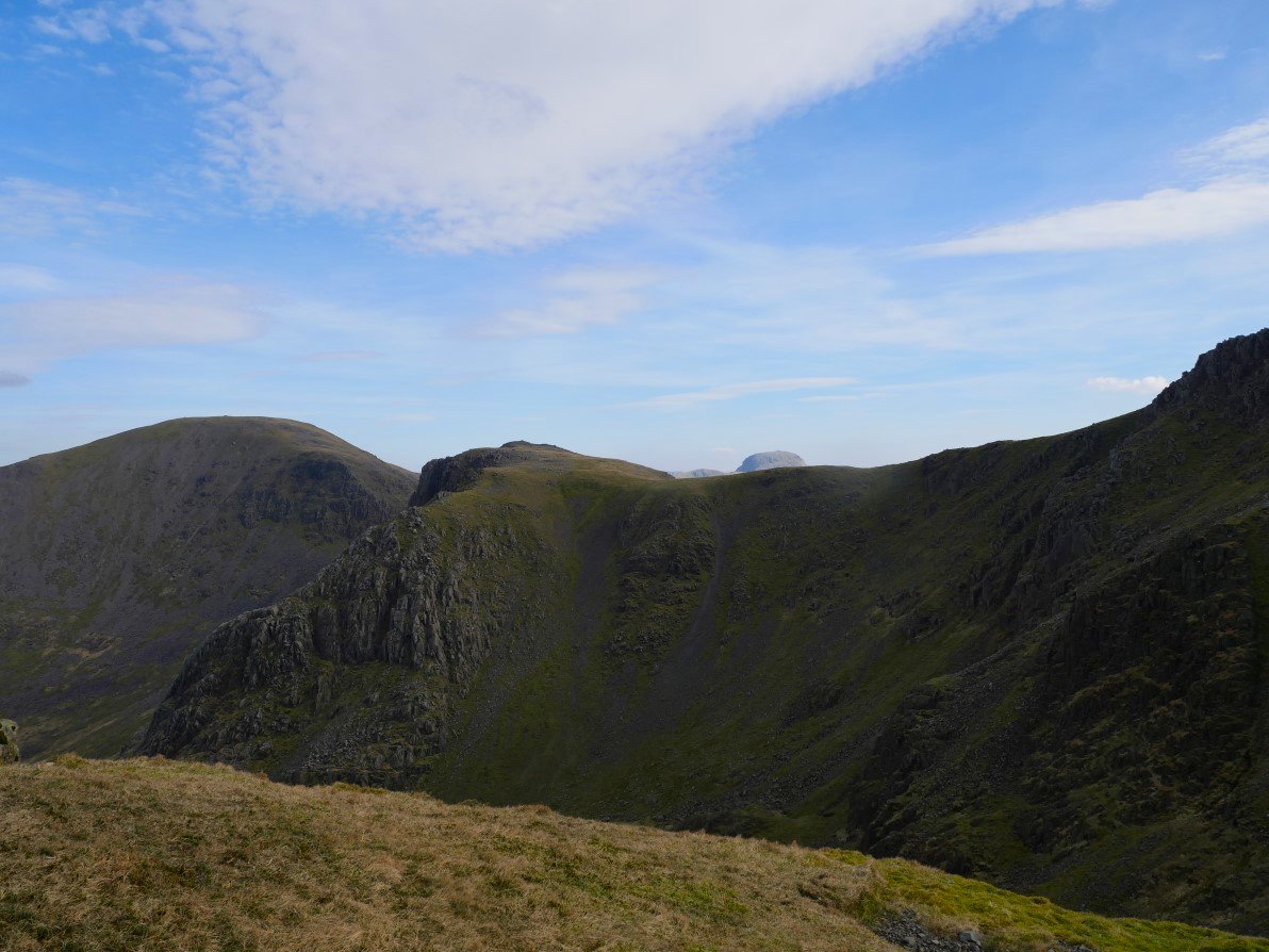
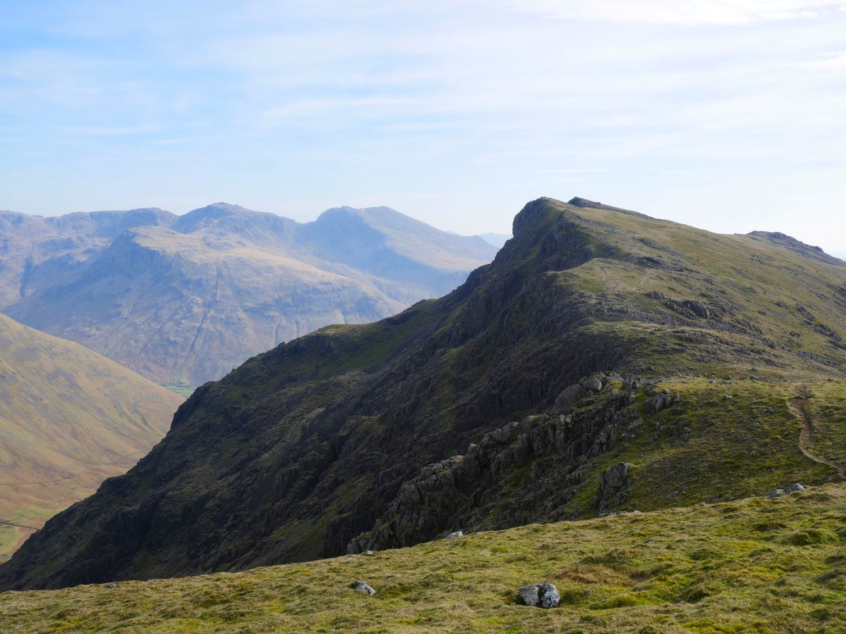
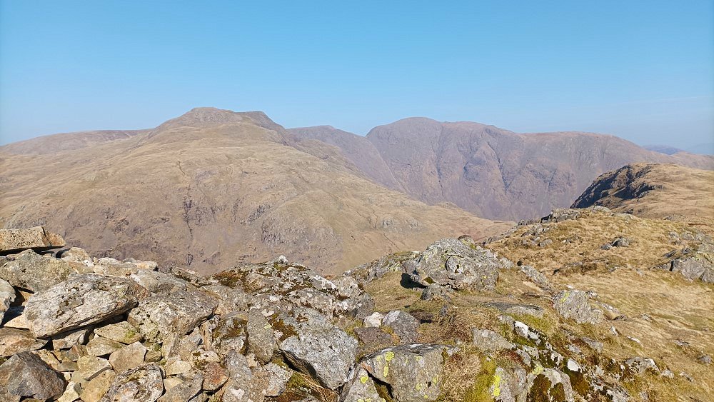
Great Gable peeps over Black Crag. Pillar to the left.
Steeple from Scoat Fell.
After passing over Scoat Fell I descended and then ascended to Red Pike ( Wasdale ).
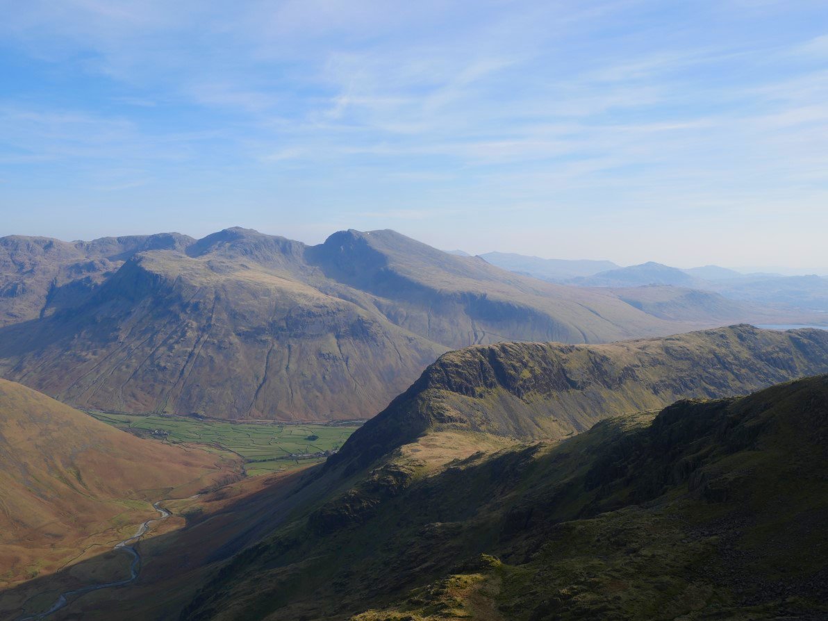
From Red Pike the field system of Wasdale Head is seen below the rugged side of Lingmell. The northern end of Yewbarrow is nearer and looking down I was reminded that I've never ascended by the scramble of Stirrup Crag. I thought that if the wind had dropped by tomorrow I might have a go.
I took a pathless direct line from Red Pike down to the area of knolls and small tarns around which I hoped to find a pitch. Scoat Tarn is just out of shot on the right.
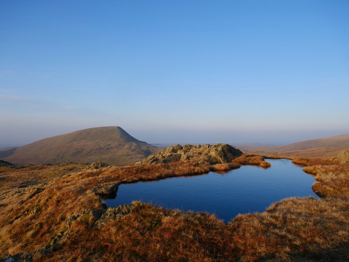
My chosen area was as good as I was hoping there were lots of little tarns and knolls and one cairned hill at 661Mtrs from which I'm looking down now. Seatallen in the background.
Scoat Fell seen over one of the larger tarns. I tramped about for over half an hour trying to find the sweet spot of good views, level ground and shelter from the wind which was still gusting quite strongly.
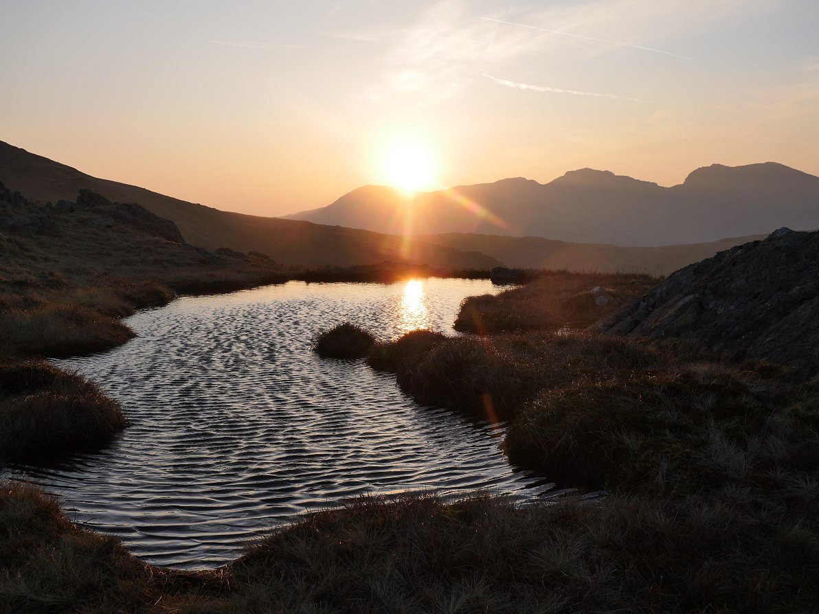
I came across this little pool with a great view of the Scafell's.
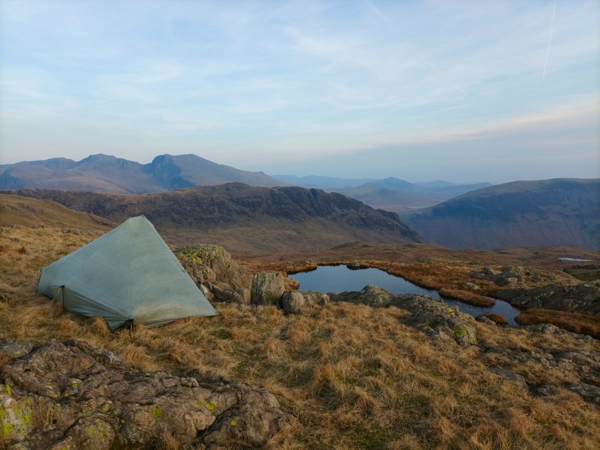
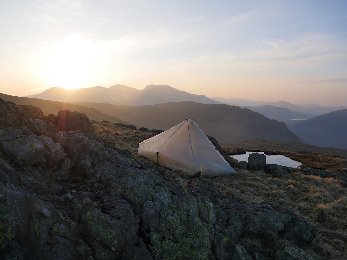
And above it was a little flat shelf which ticked two of the boxes. It wasn't sheltered from the wind but the wind was forecast to lessen during the early hours so in the words of the song "two out of three ain't bad"
Not the most dramatic sunset ever but a little bit of colour in the sky. The wind did drop and I had a very comfortable (and warm ) night.
The sunrise was a cracker though.
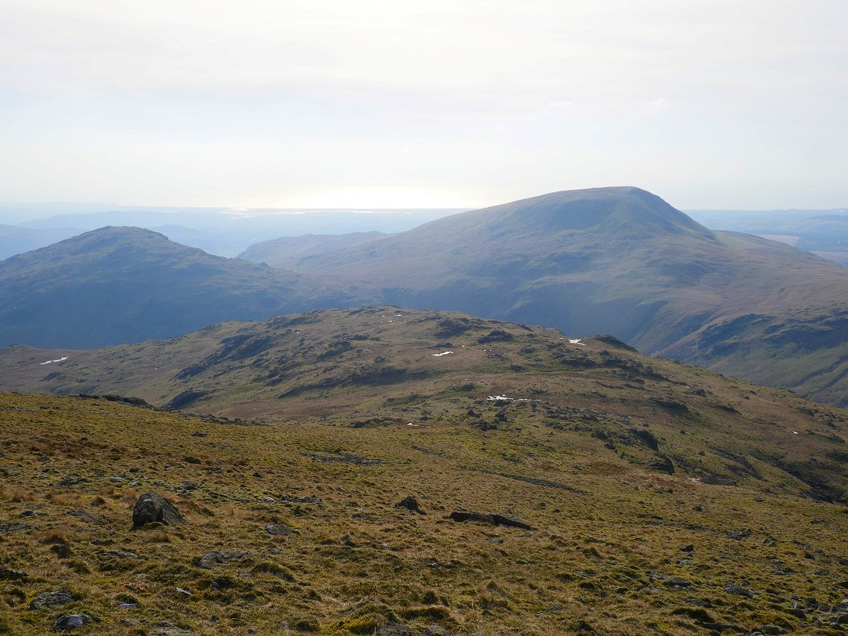
I love looking at layers of hazy fells. Burnmoor tarn is just seen over to the right.
The rising sun was painting the ground around "my" tarn a lovely rust colour. I really like this time of the year when the colours are a bit more varied than the summer shades of green.
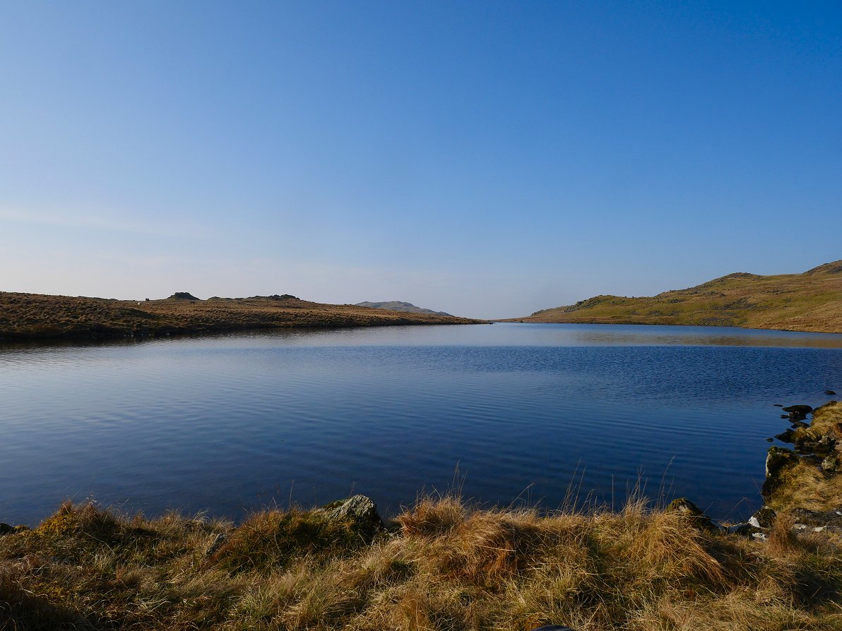
After packing up I'd only walked around fifteen minutes but when I reached Low Tarn it was so quiet and so warm I sat for a good hour just relaxing on a comfortable rock..
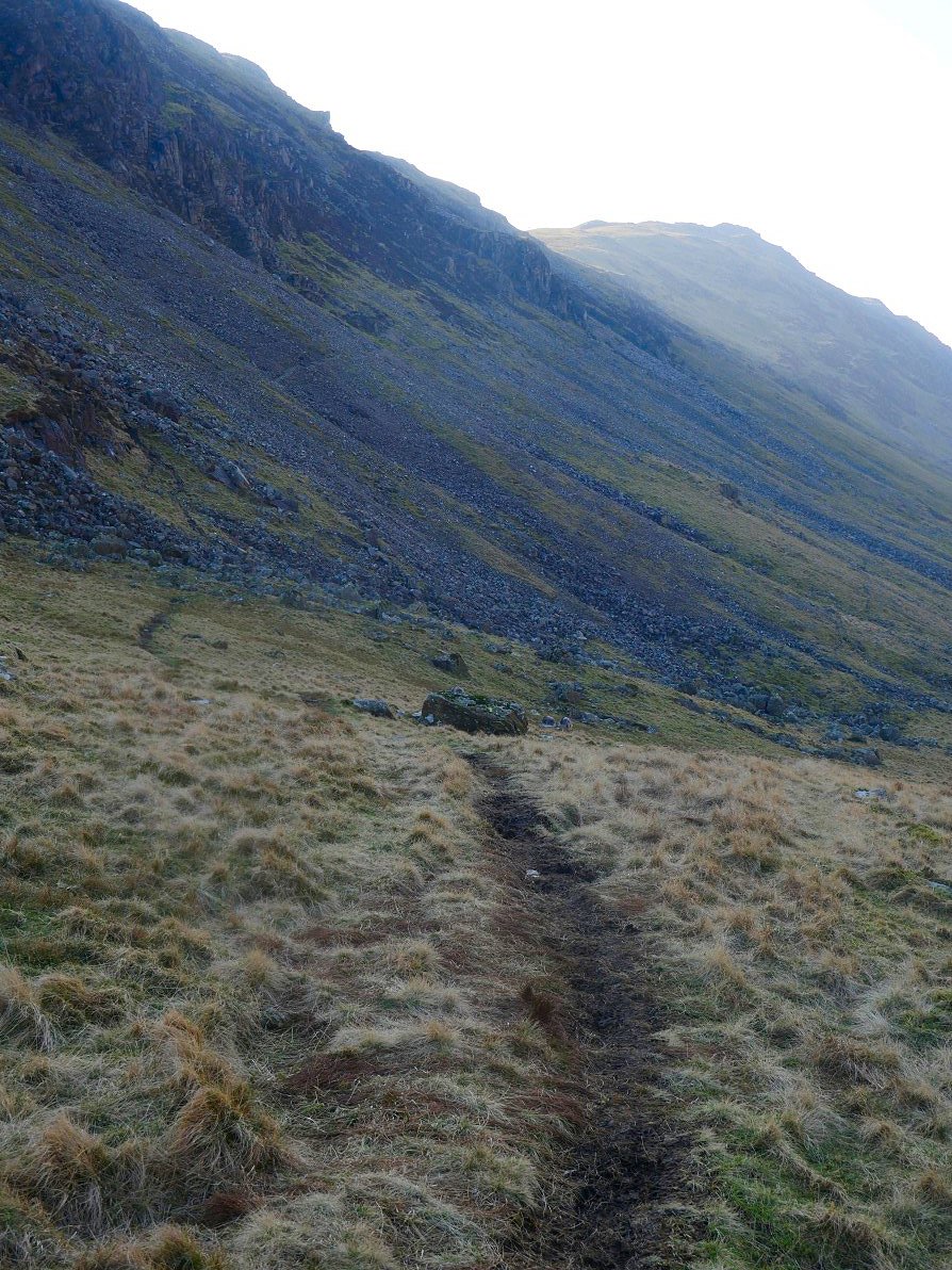
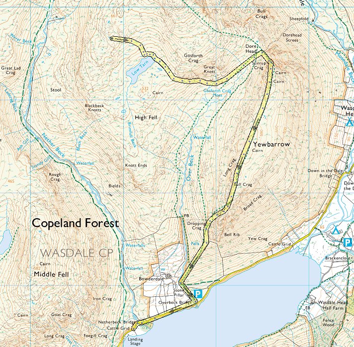
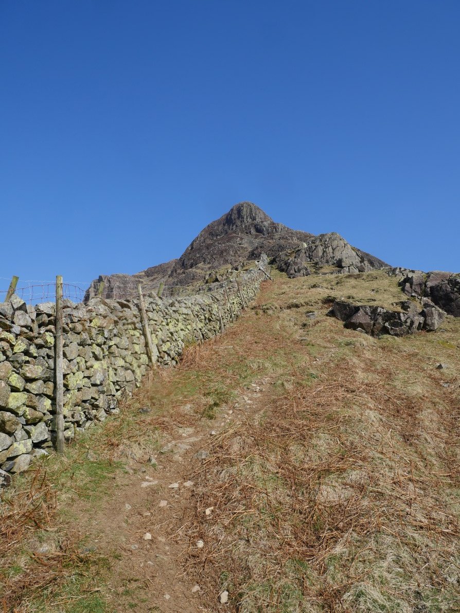
Dragging myself away from the tarn I descended down under Great Knott and then climbed back a short way to Dore Head. It was now decision time, do I climb Yewbarrow by the fell runners path which I've done every time before?
Or do I face my fear and climb by Stirrup Crag. Well the wind had dropped so I had no excuse to chicken out so Stirupp Crag it was.
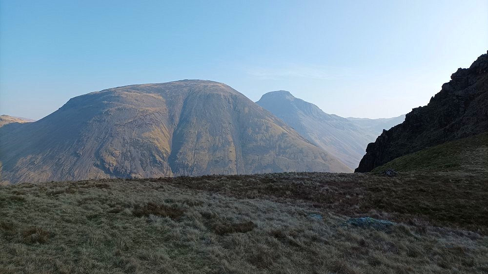
Kirk Fell and Great Gable seen from the start of the winding path up.
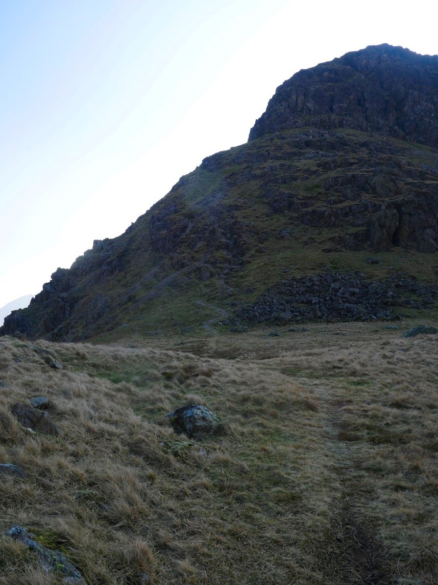
As is usually the case the climb was not as bad as feared. There were a few rocky sections but on the whole any exposure had to be looked for by going out on to one of the grassy platforms by the path . The valley floor does look a long way down though.
Eventually the drama is over and the long undulating top is reached. This is looking to Pillar, Wind Gap, Black Crag and Red Pike from the southern and higher ( just ) top of Yewbarrow.
The view over Bell Rib to Wastwater. Of course the southern end of Yewbarrow is no walk in the park but as long as you stick to the main path down and take your time you are soon on easier ground.
And eventually to the steep path by the wall which guides me to the road and back to my car after a couple of days which definitely make up for all the iffy weather walks I've had lately
Previous walk -- Wet Sleddale - Next walk - Horwich to home