WWW.KARLSWALKS.CO.UK
PICTURES AND TRIP REPORTS FROM MY WALKS IN THE ENGLISH LAKE DISTRICT
|
|
|
Another lovely morning as I set of for Ennerdale on a route that would tick off no new Birketts but would tick a few things off my to-do list. Namely, climb along the ridge above Netherbeck which I have had my eye on for a few years, visit Brimfull Beck and Low tarn, and descend down from Steeple to Ennerdale.
I was quite tired when I arrived at the hostel but after a hot shower an early night and a hearty breakfast I was fair bouncing along with the prospect of the day to come.
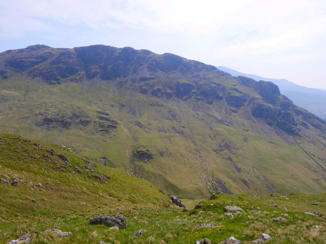
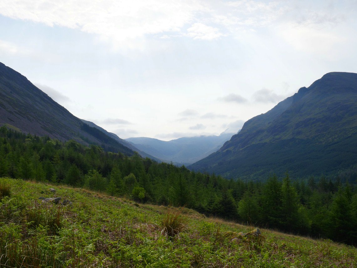
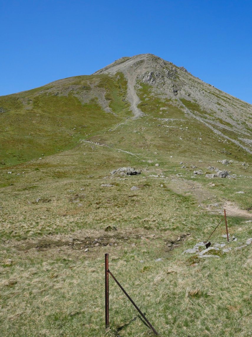
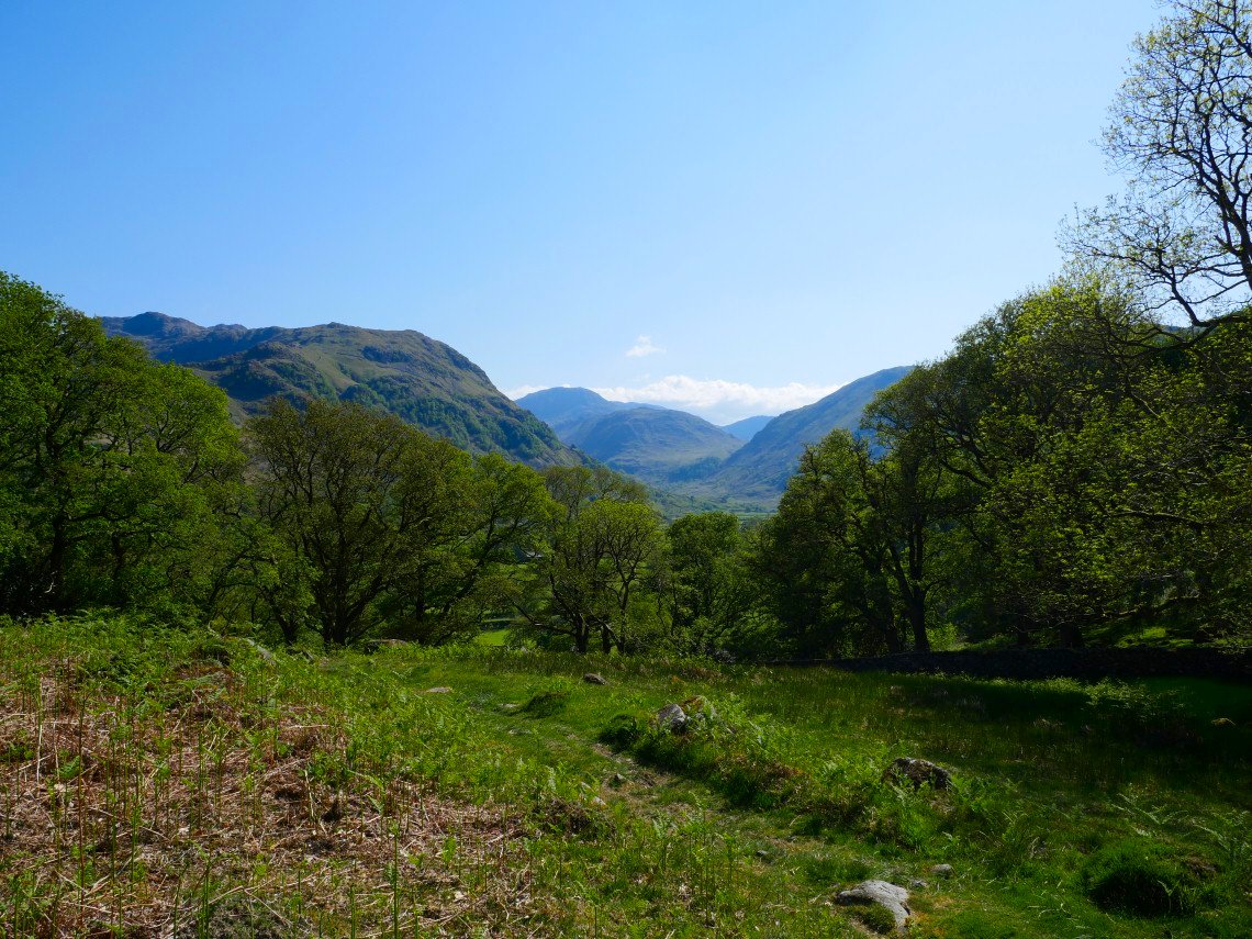
Leaving the road and looking to the ridge which I first noticed when I crossed over the bottom of it on my way to Yewbarrow in 2014.
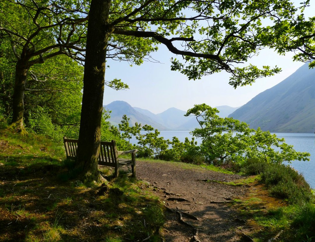
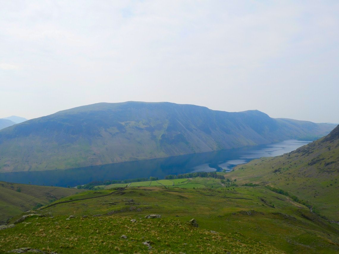
There is Yewbarrow with Lingmell and the Scafell Pikes across Wastwater.
Although May has been very dry there was still plenty of water coming over the falls in Nether Beck I cross the beck at the wall on the left and follow it up past the little outcrop then turn left. There are no paths on the map and I didn't see any on the ground..
looking back to Wastwater and the screes from the climb.
Side view of Yewbarrow.
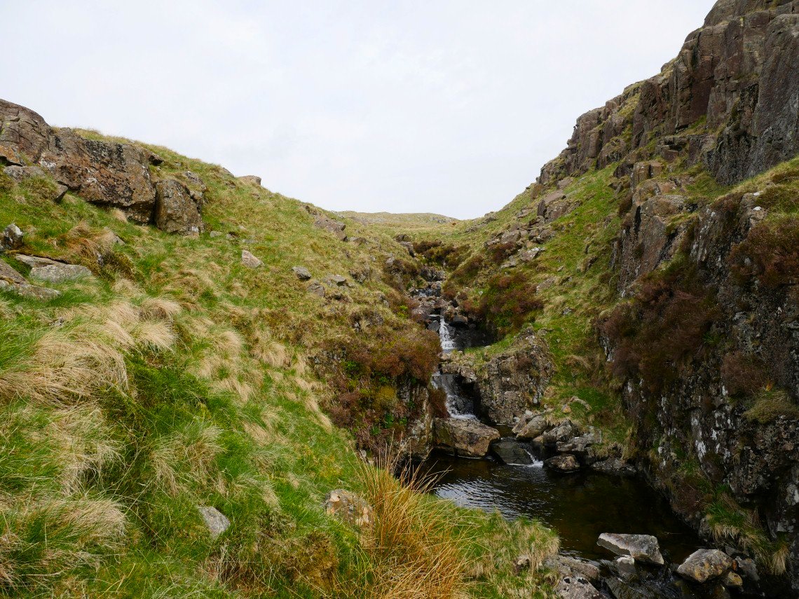
Brimfull Beck, a delightful name for a delightful place.
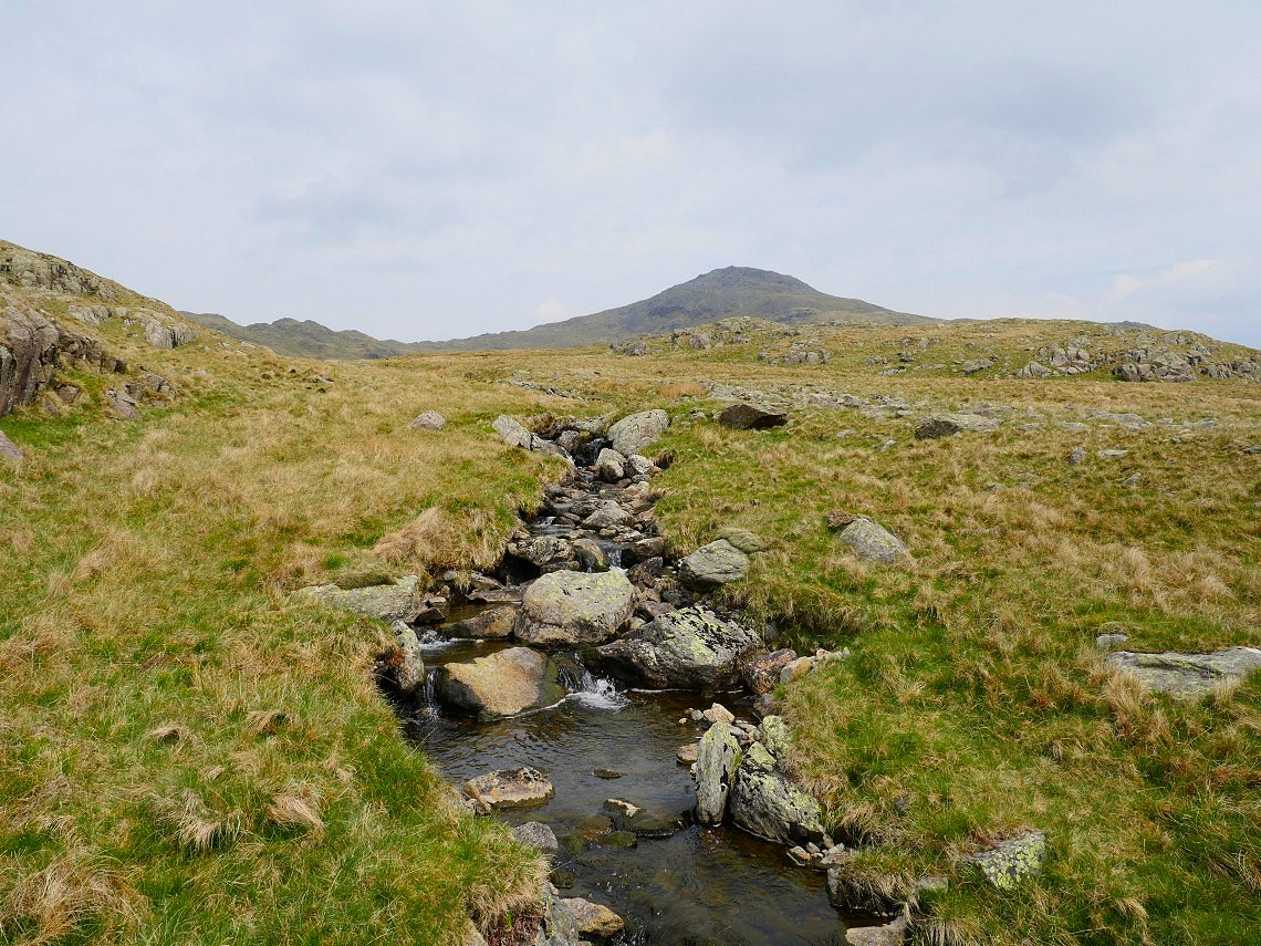
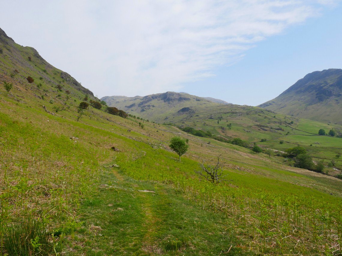
Following the beck upstream and a faint path did appear as did the lower top on Red Pike.
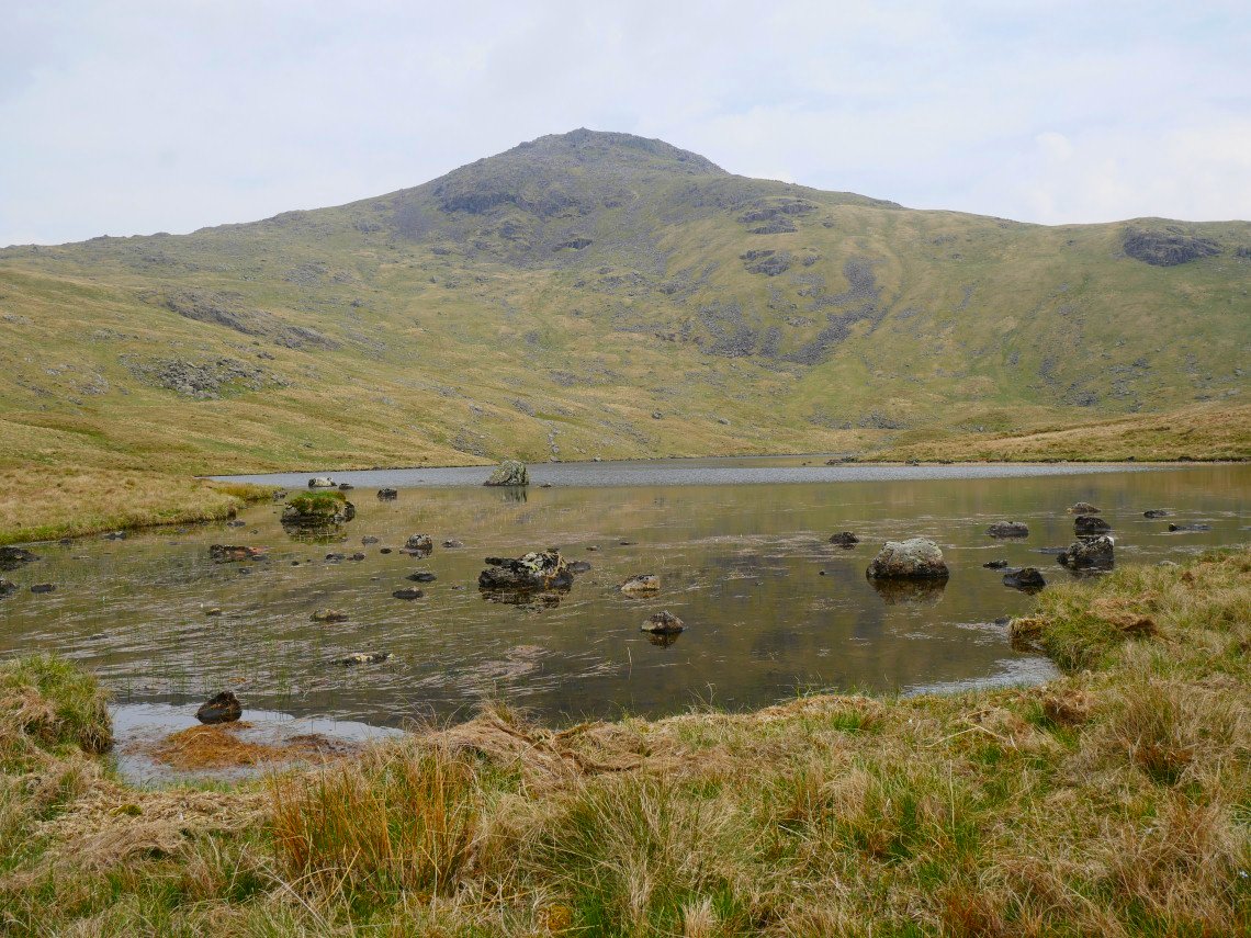
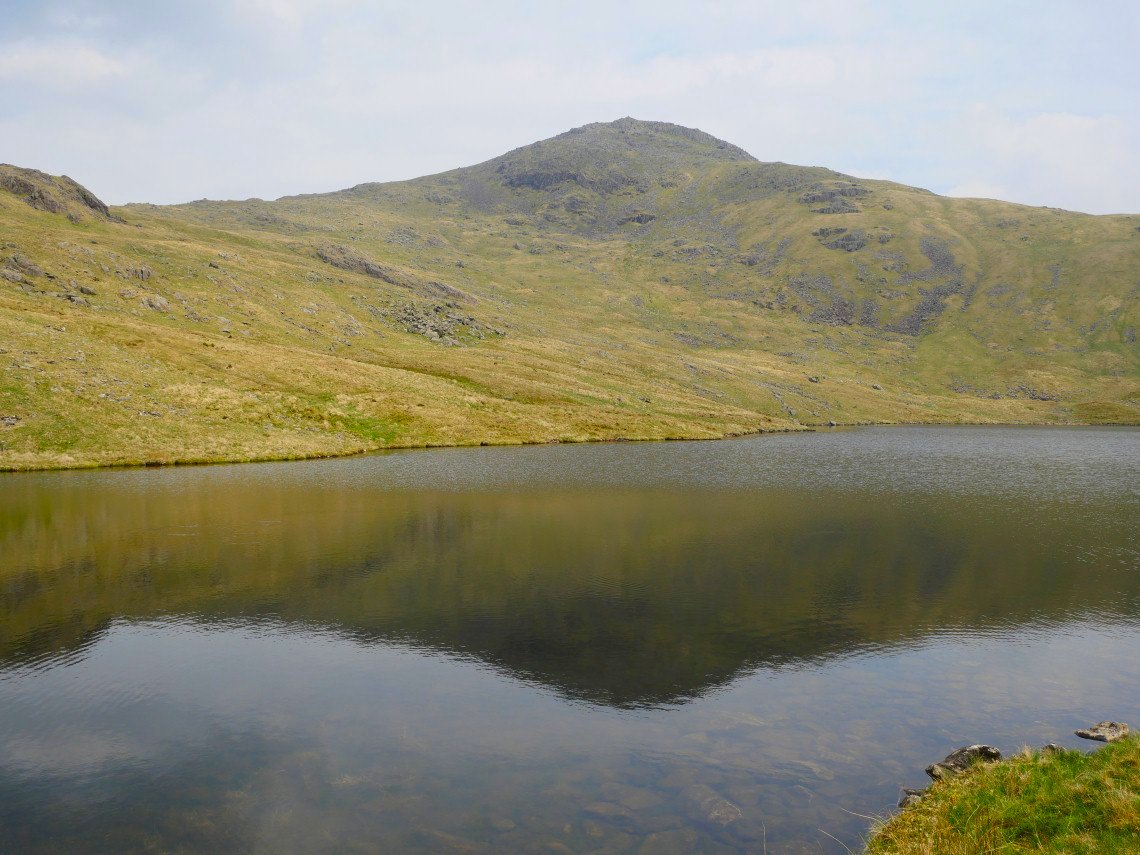
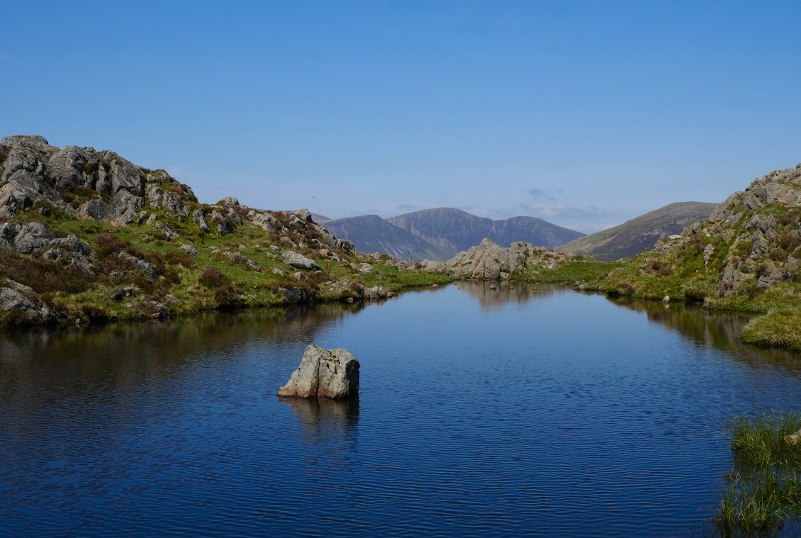
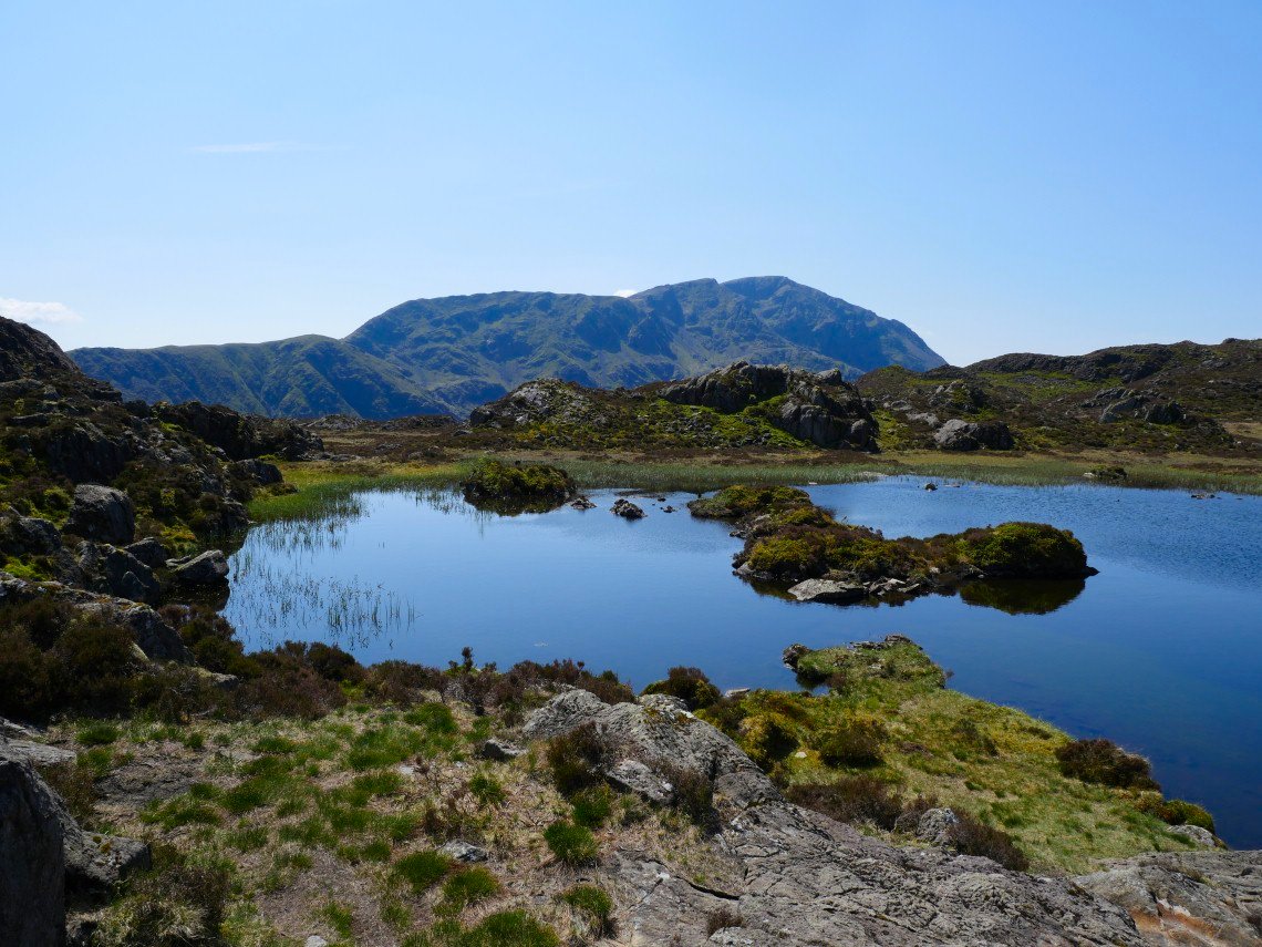
When people say " the silence was deafening" that's what it was like at Low tarn.
.
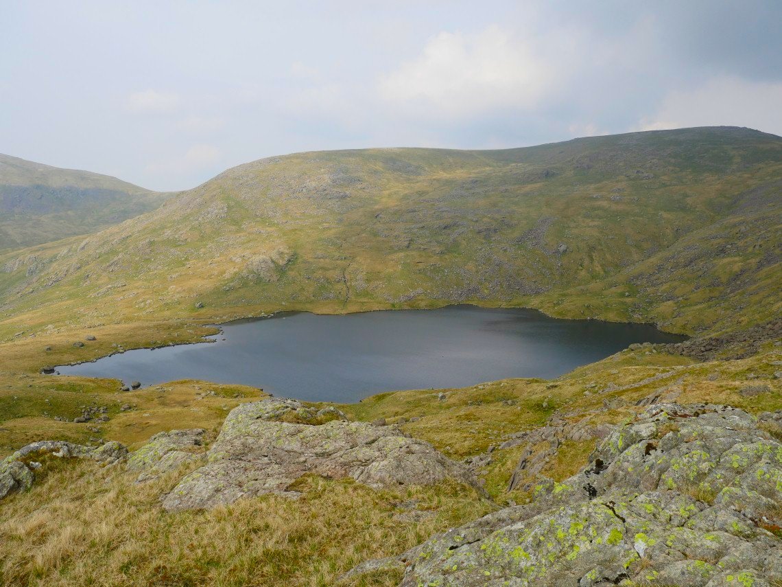
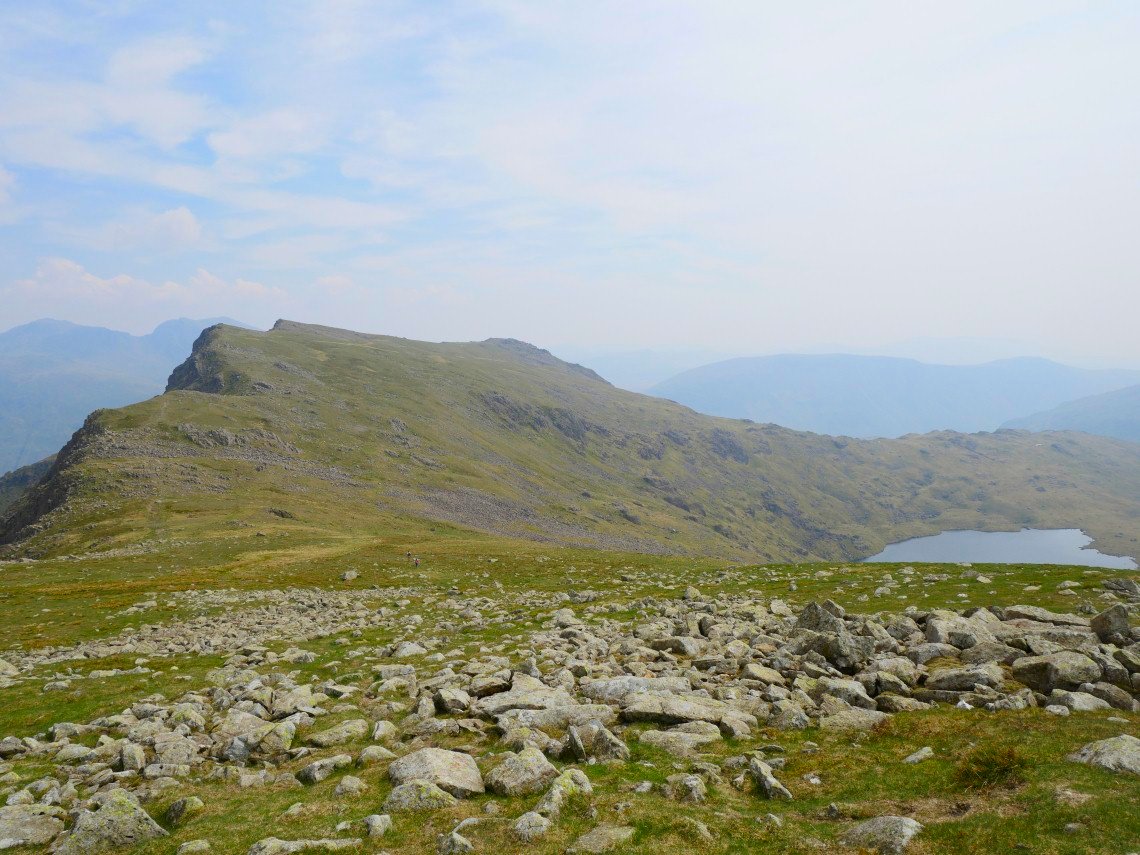
On the map I noticed a top with a spot height of 661 Mtrs which should have a good view of Scoat Tarn, and it did.
Whilst having my lunch I could see that there was a fairly simple route up to Red Pike above the tarn so that's the way I went getting a view of Haycock on the right and Seatallen on the left

Black Crag then Pillar from Red Pike.
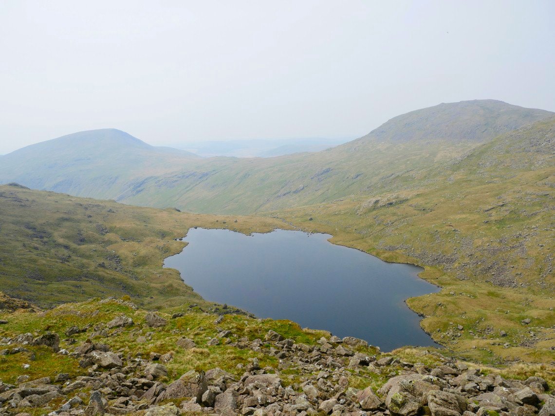
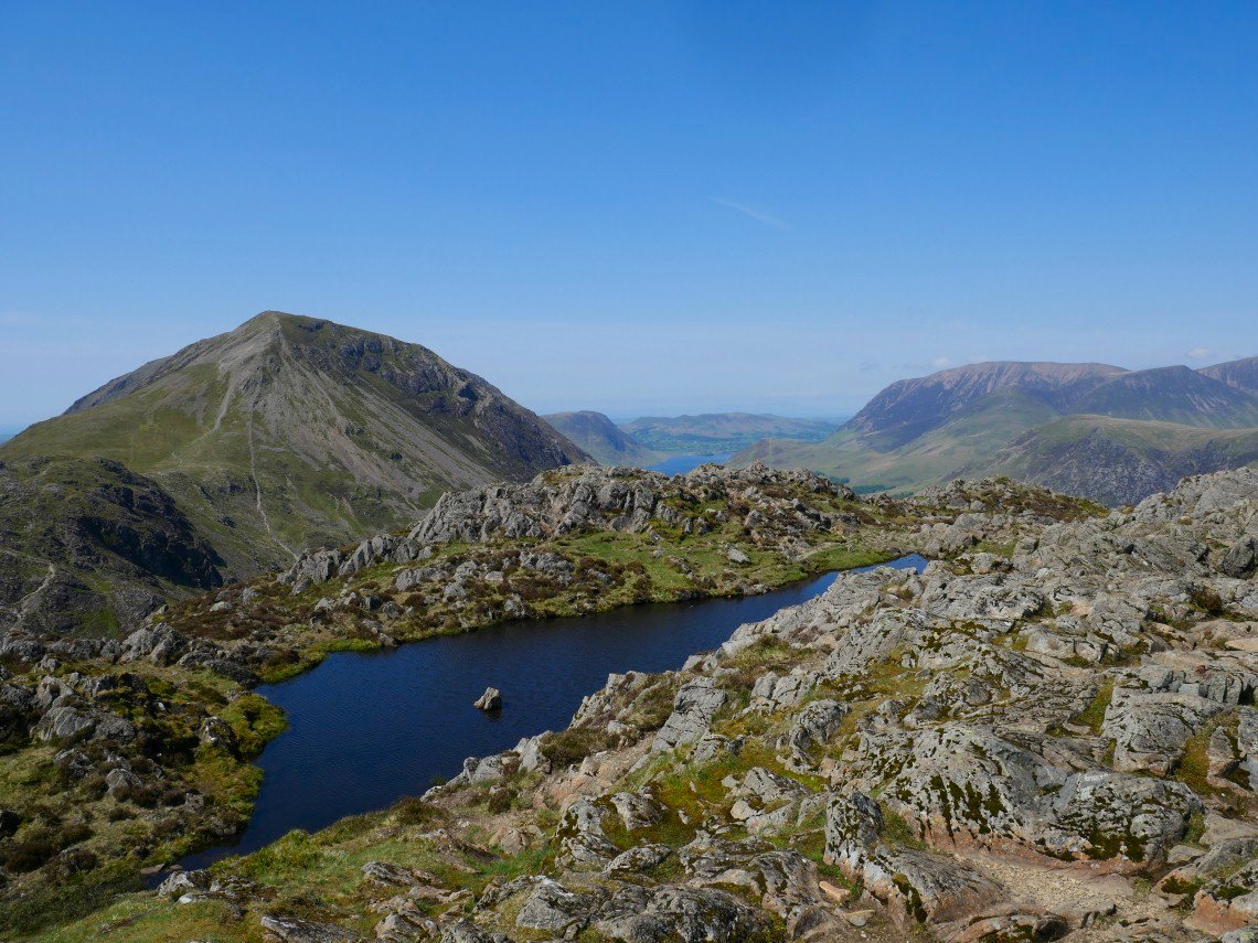
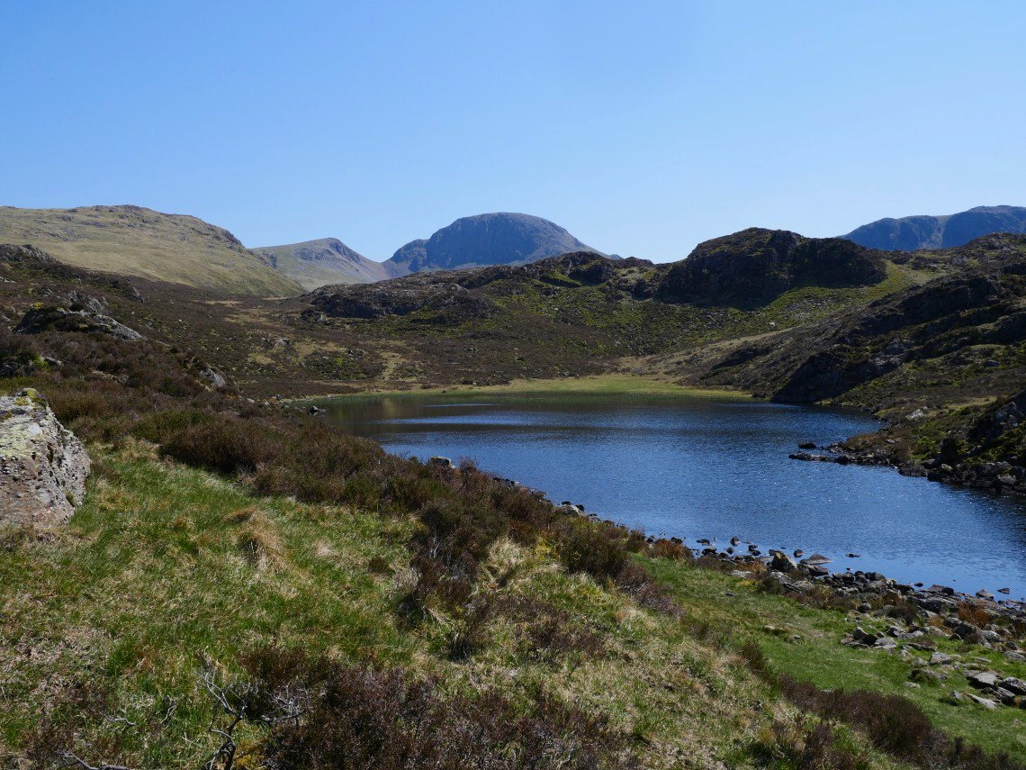
Looking back to Red Pike and a little bit of Scoat Tarn.
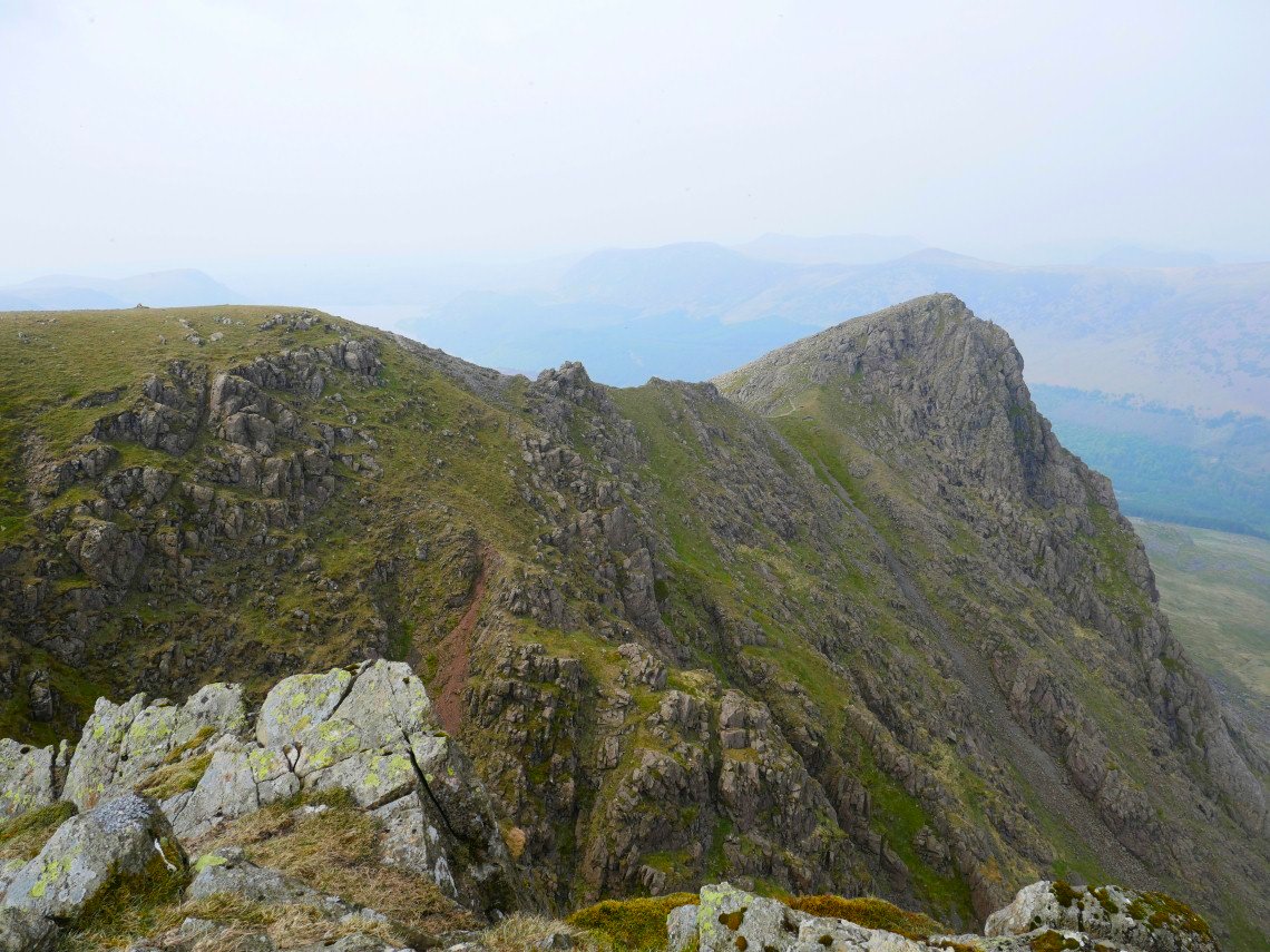
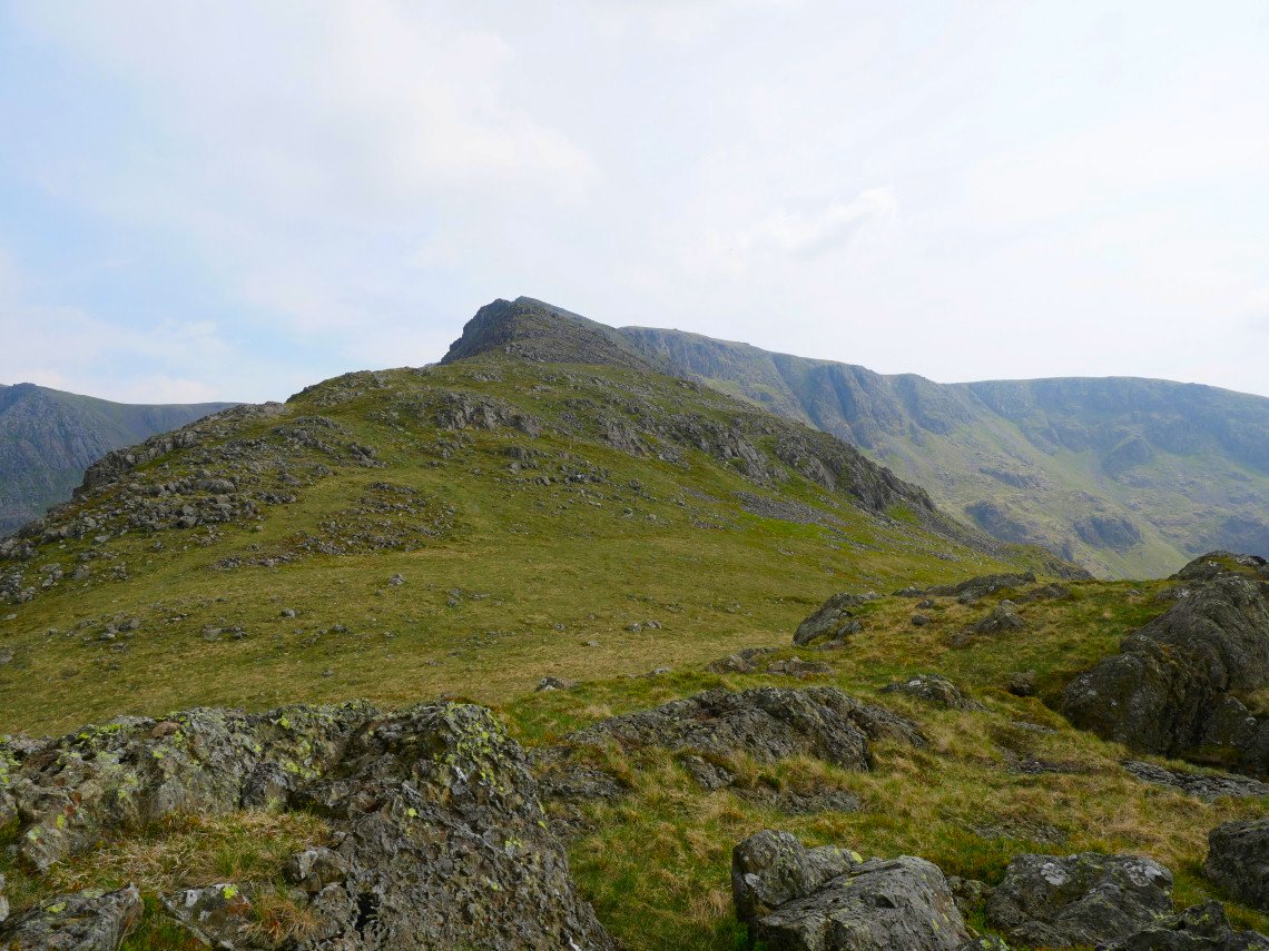
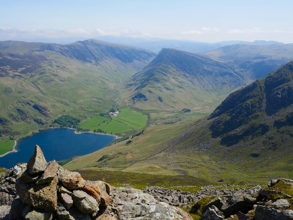
After crossing over the top of Scoat Fell the next stop is Steeple.
On to Steeple now with Black Crag and Pillar again and the familiar muffin top of Great Gable in the distance
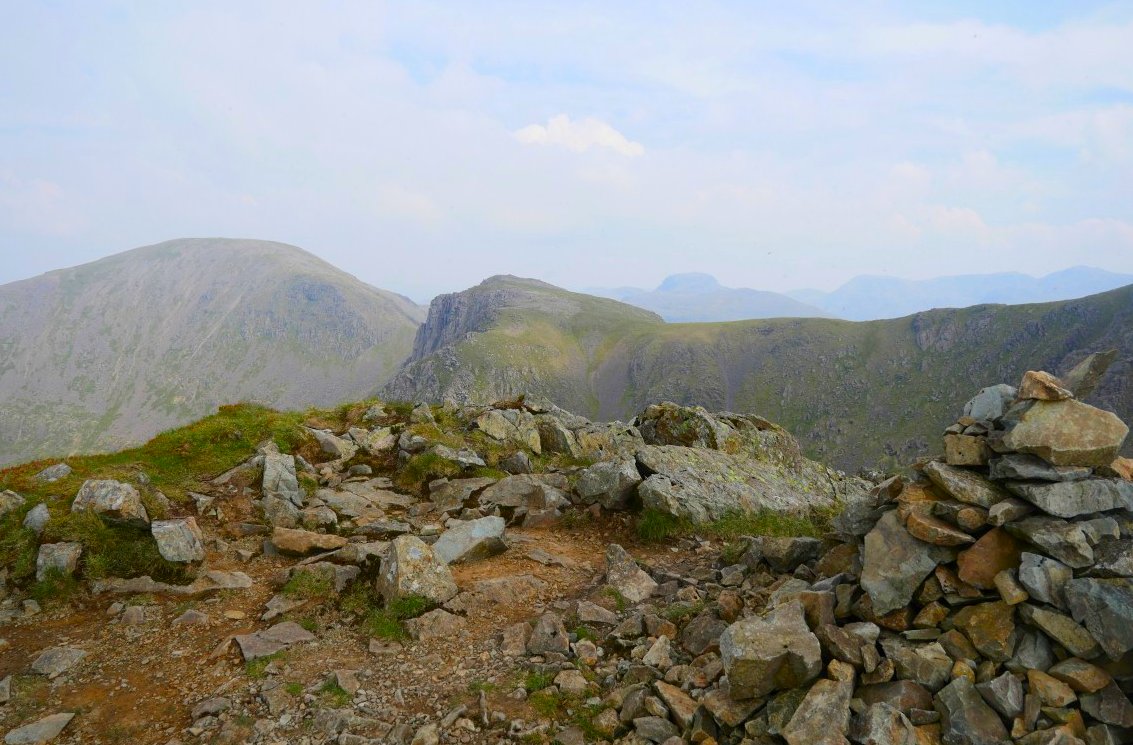
Looking down the north ridge of Steeple. Ennerdale water can just be seen in the haze
And looking back up.
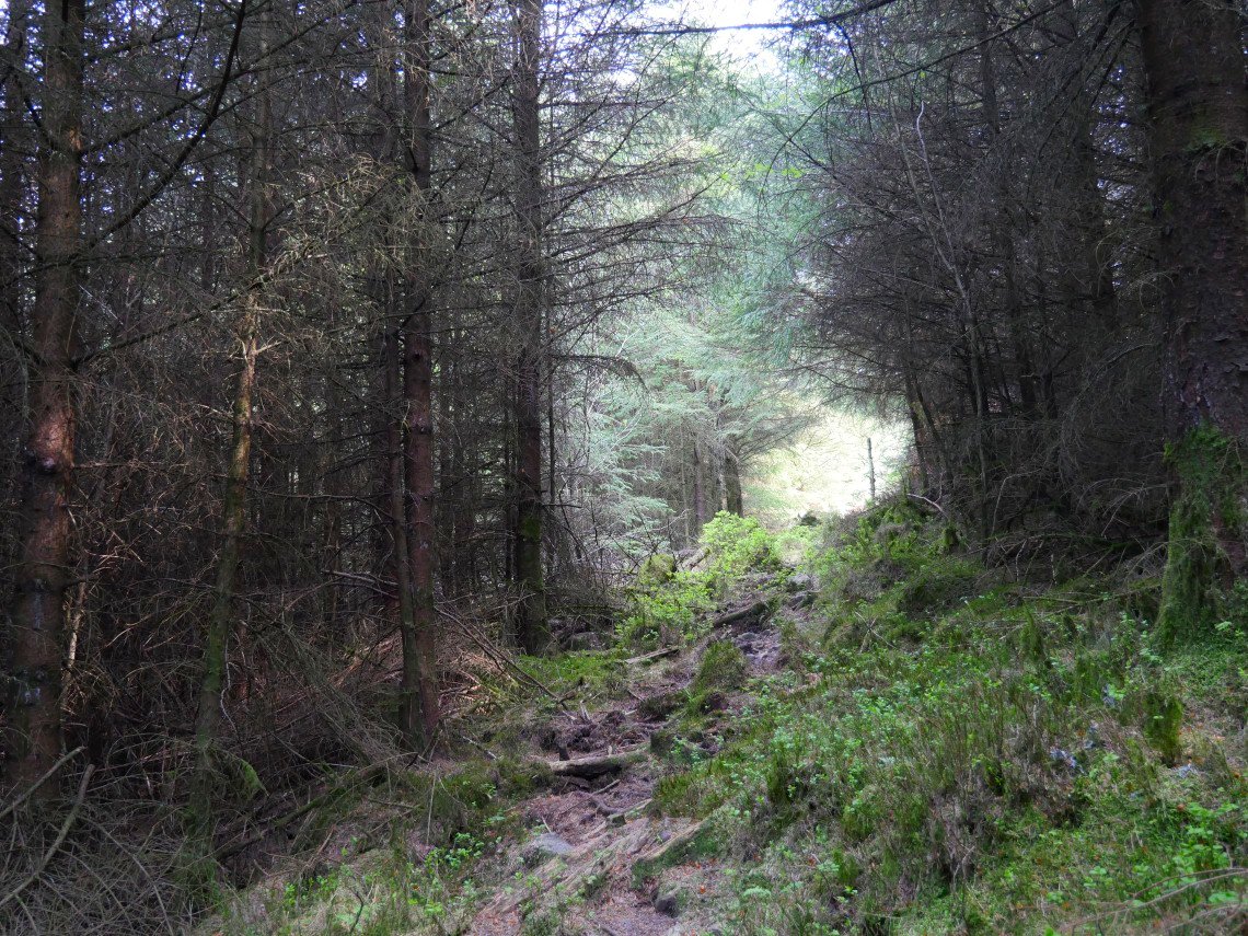
Not wanting to tackle even the very slight re ascent to Lingmell I bushwhacked through a small section of forest till I came to a forest road with a sign for Pillar and a cairn marking this little path that descended through the trees by Low Beck.
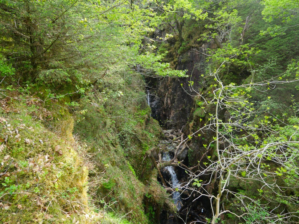
I could hear the noise of a waterfall and suddenly came to a cleared section from where there was a view of a magnificent double waterfall. This picture does it no justice,so you will just have to go and have a look for yourself.
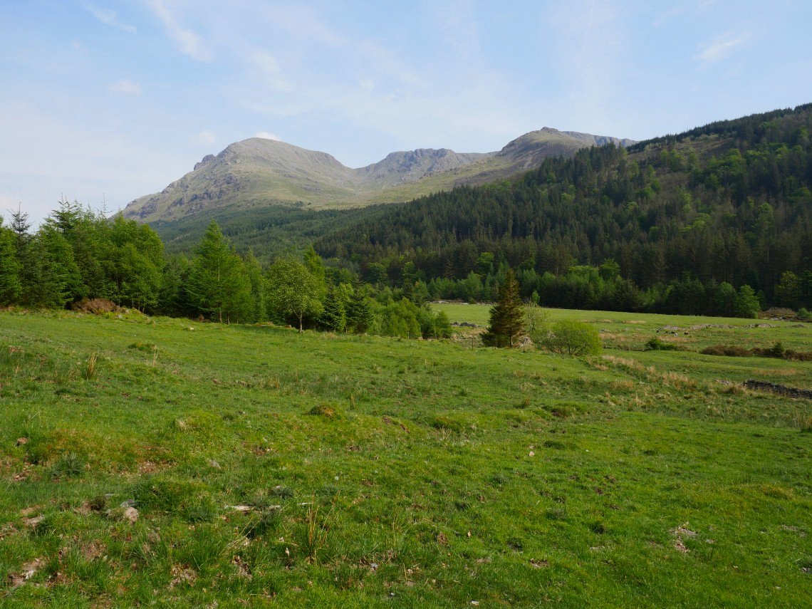
The path brought me to the main forest road which runs above the Liza and with the river being quite low I paddled across which was quite refreshing in the hot afternoon. This is the view of Pillar, Black Crag and Steeple from the field just before the hostel.
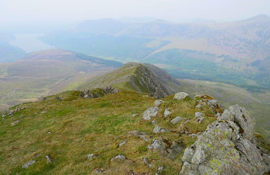
A little bit of a cool breeze blowing this morning which was very welcome as I climbed the hillside from the forest track by hostel to Red Pike. There looks to be a little cloud over the head of the valley.
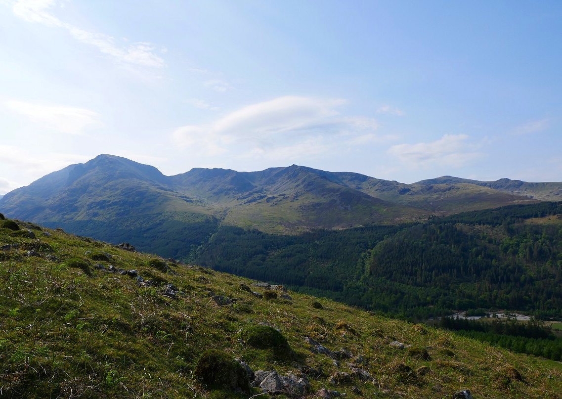
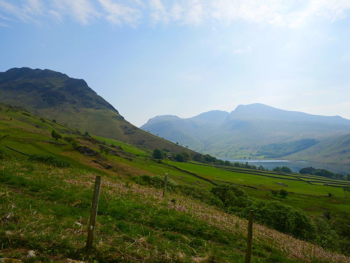
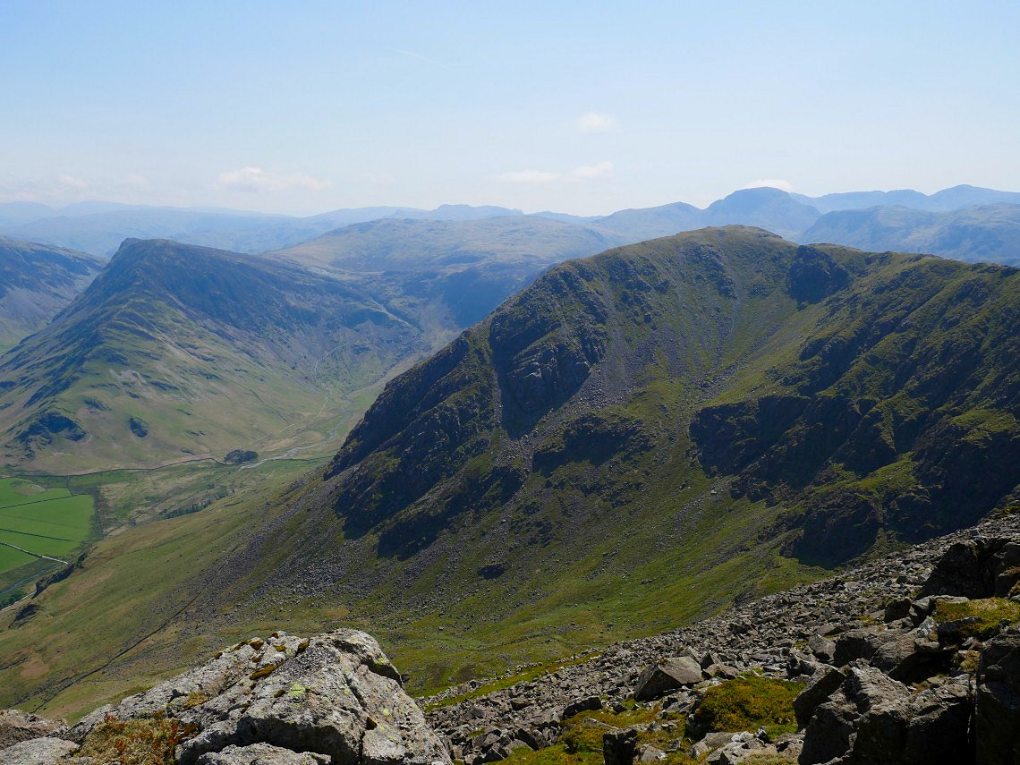
The Pillar to Haycock range is wonderfully clear though.
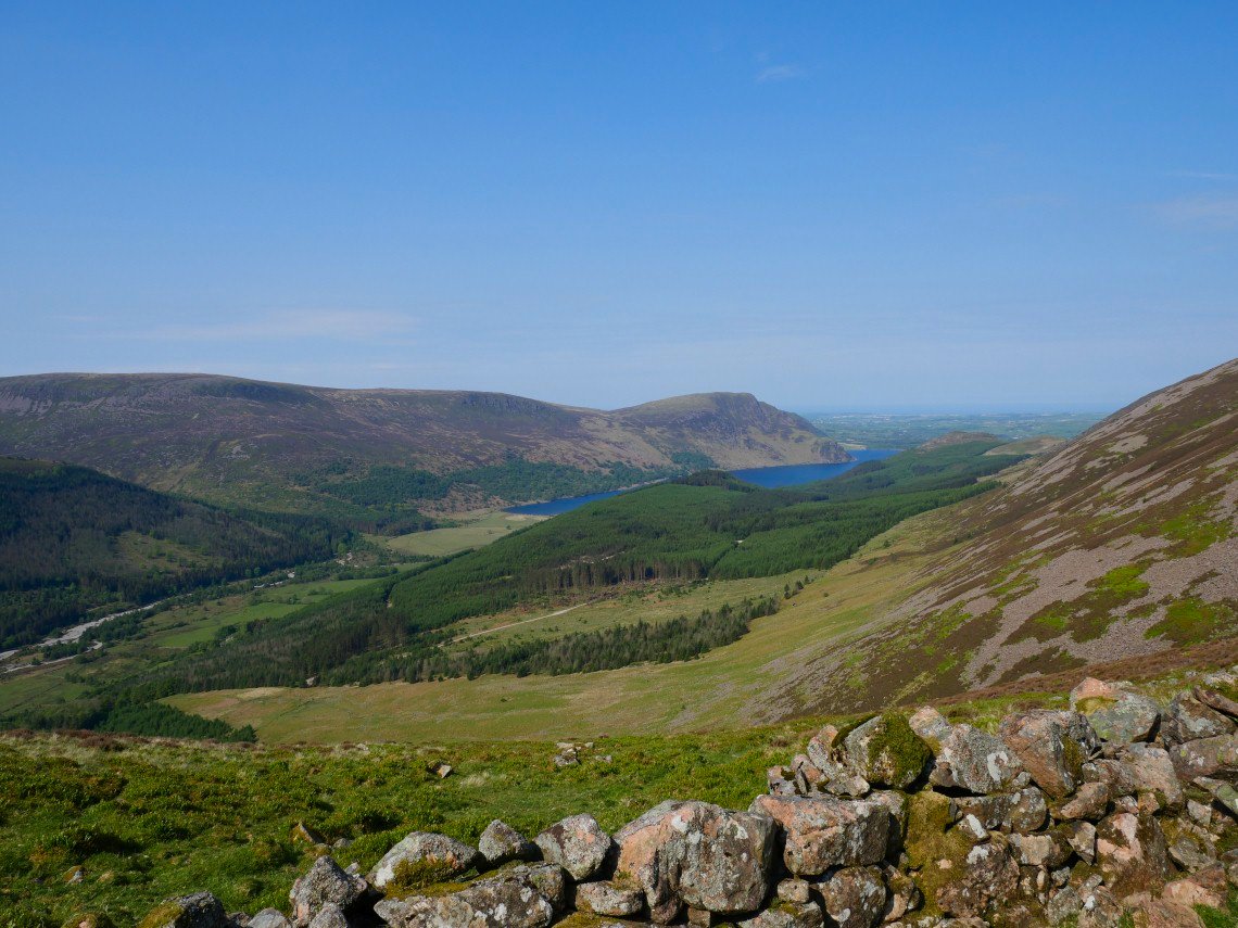
As is the view back to Ennerdale Water with Crag Fell above.
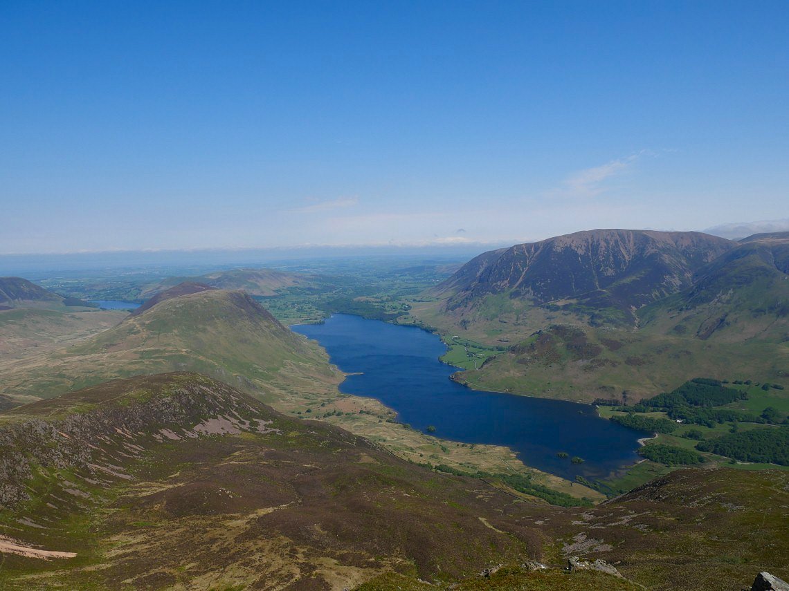
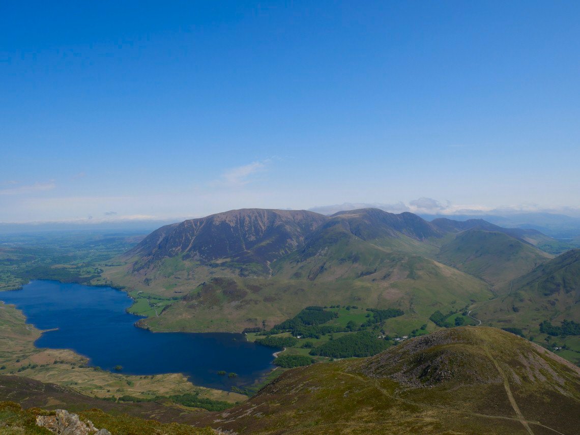
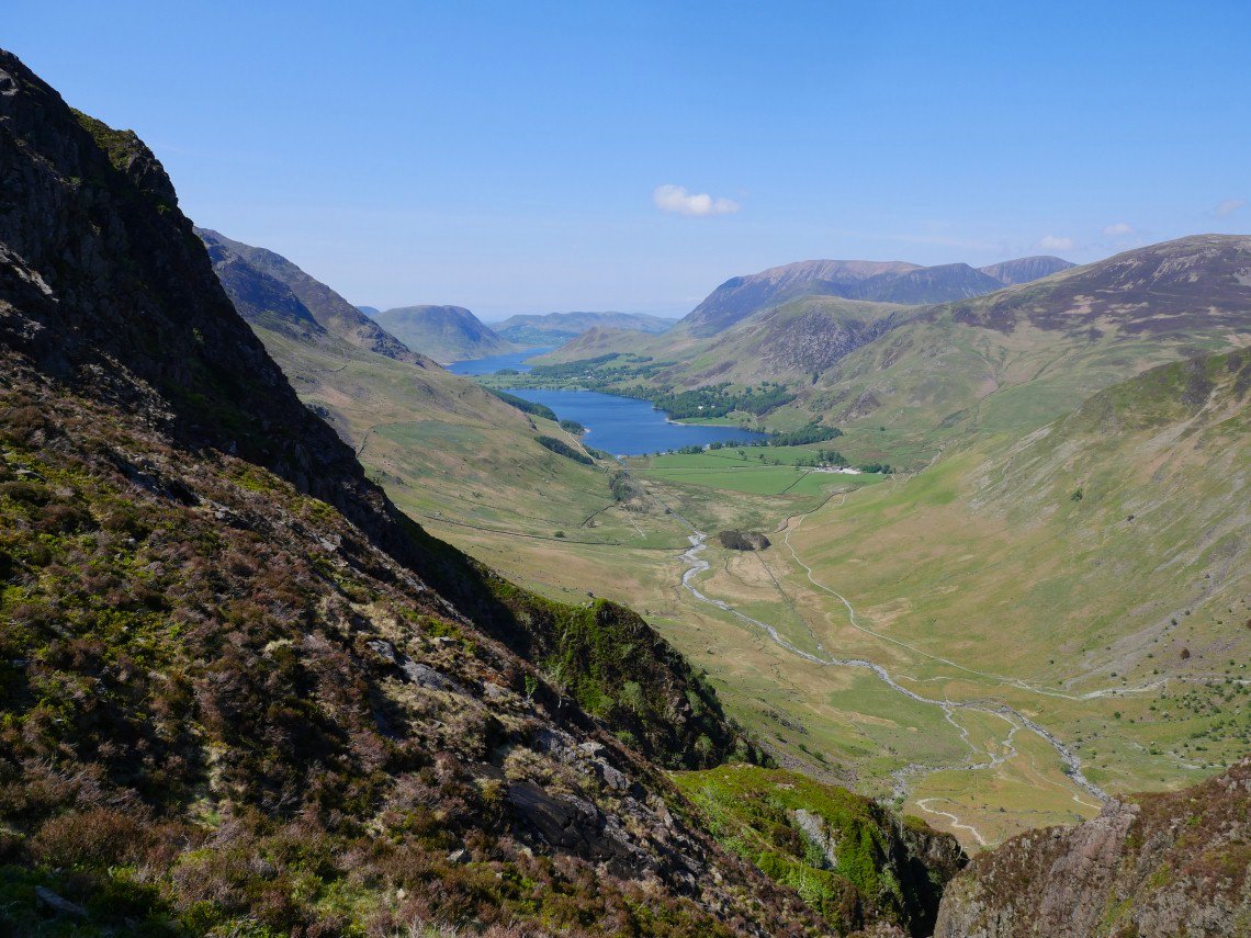
On to Red Pike now looking down to Crummock Water.
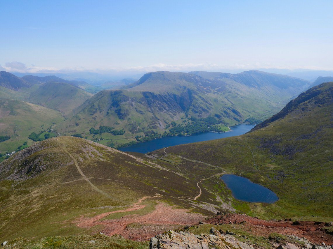
The path in the red soil from which Red Pike gets it's name leads down to the Saddle with Buttermere Dodd and Bleaberry Tarn below Buttermere is below tomorrows route along the Dale Head to High Snockrigg ridge.
The fantastic north western fells group starting with little Rannerdale Knotts, leading into the Whiteless Pike and Wandope ridge, with the great bulk of Grasmoor on the left and the Crag Hill to Causey Pike ridge leading of into the distance.
The southern end of Buttermere with Fleetwith Pike beyond. Just as with the Wastwater Screes as I have the time and the weather I walked out to all the little outcrops on the ridge and here I have descended to a small spur below High Stile.which gives better views than from the summit.
Looking across to Sheepbone Buttress and what I presume is Sheepbone Rake ( the vertical scree in the centre of the photo ) below High Crag.
Gamlin End. If you look closely you can see a couple of people just starting the scree path.
Crag Fell and Sail from the summit tarn on Haystacks. The cool wind has gone now and it's a very warm afternoon..
High Crag from the summit of Haystacks.
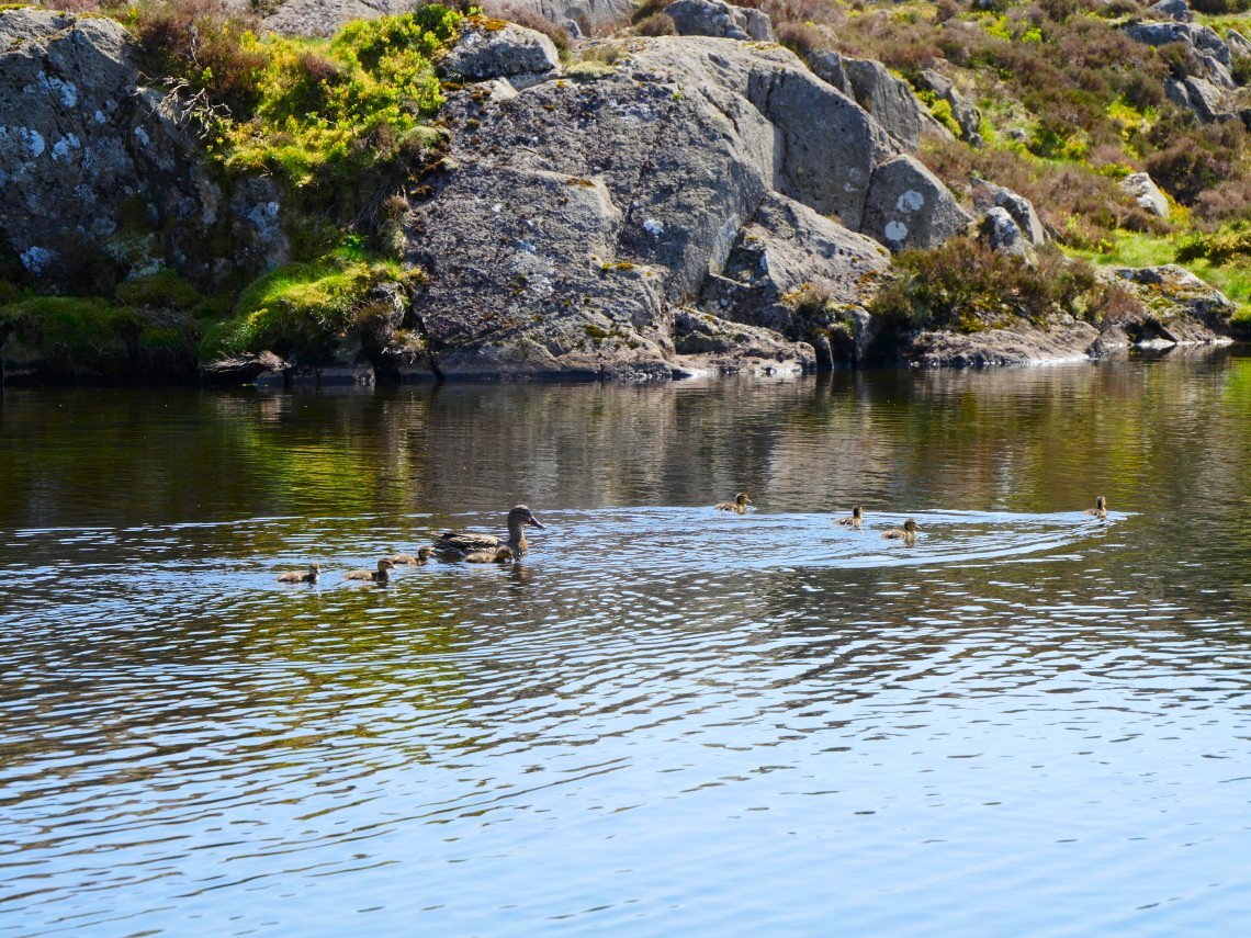
I had a foot cooling paddle in Innominate Tarn. This family didn't seem to mind sharing their water with my sweaty feet.
Pillar from Innominate Tarn
The view along Warnscale Bottom to Buttermere and Crummock Water.
Great Gable from Blackbeck Tarn
Thornythwaite Fell leading to Glaramara from the old road down to Borrowdale from Honister.
Seathwaite Fell and Great End at the head of the Seathwaite valley.