WWW.KARLSWALKS.CO.UK
PICTURES AND TRIP REPORTS FROM MY WALKS IN THE ENGLISH LAKE DISTRICT
|
E-mail - karl@karlswalks.co.uk |
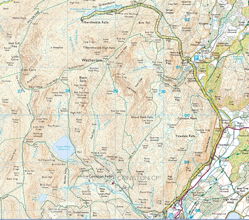
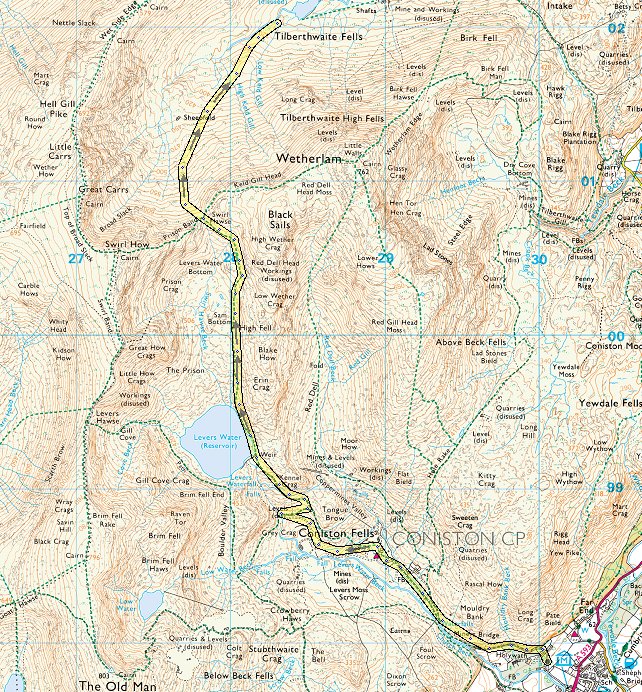
Although I must have looked down on it quite a few times I've never set foot in the upper reaches of the Grenburn valley so that's where I headed for today.
Due to watching Louis playing football ( he now says I'm his number one fan so I don't like to let him down ) it was after two when I luckily got the last free spot on Coppermines road and after quickly scoffing down a late lunch I made my way up the track past the Miners bridge and youth hostel to Levers Water.
Looking back down the valley.
The path contains a couple of switch backs and passes below Kennal Crag.
And before too long you reach Levers water.
.
The path on the eastern side is easy to follow but can be quite wet as it leaves Levers water behind. The fix the fells team are stone pitching the worst bits.
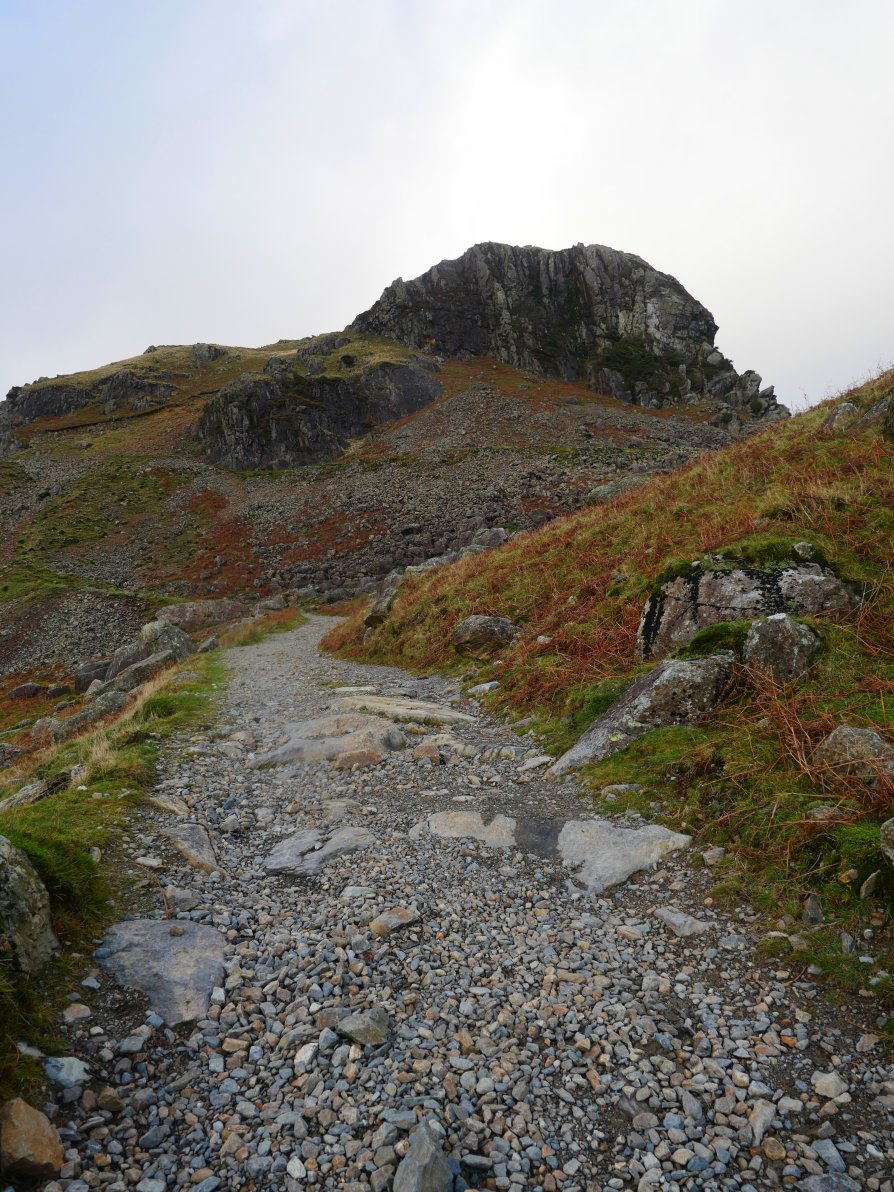
The "notch" of Swirl Hawse comes into sight. The ascent is easier than it looks as the path swings in a loop around to the right rather than going straight up the front.
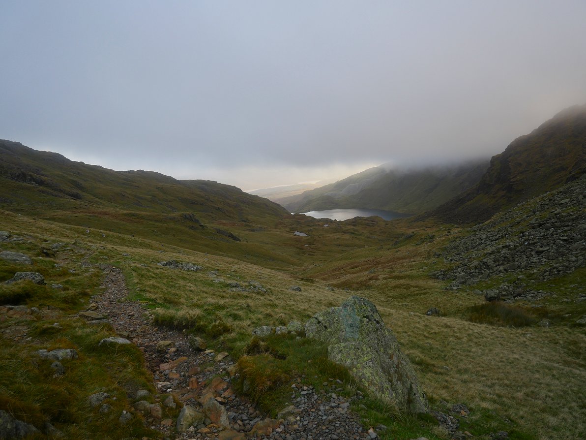
Looking back to Levers water.
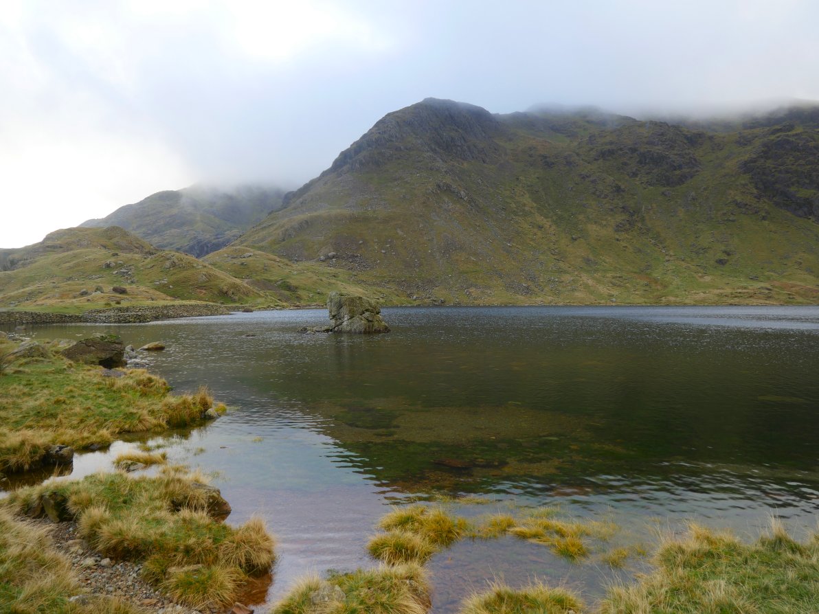
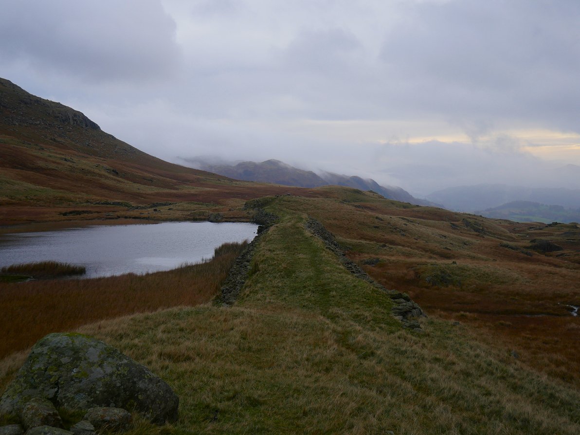
And looking down into Greenburn. There are no paths marled on the map down into the valley from Swirl Hawse but there is quite a clear trod down the grassy slope.
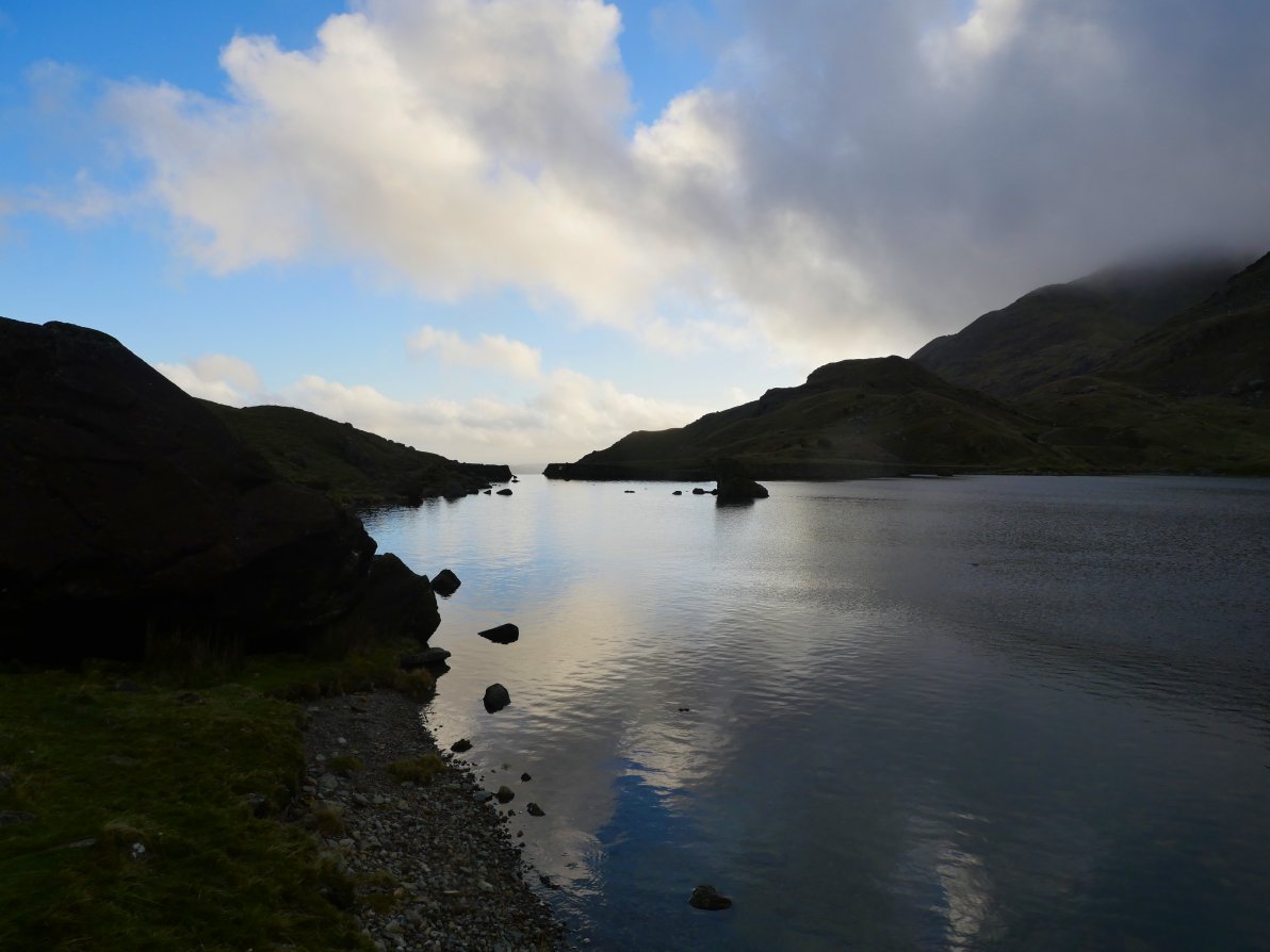
I made my way down to Greenburn Beck and started to look for a place to camp. I found this nice spot and unlike some who say they can't camp and sleep beside noisy water I find that the sound of running water actually lulls me to sleep.
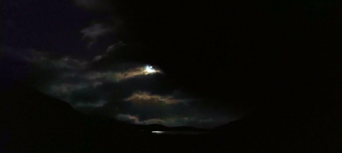
The night was incredibly mild for November and I spent a long time lying on my mat outside the tent looking up at an amazing starry sky and later at the moon as it lit up the clouds to the east and shone on to Greenburn reservoir
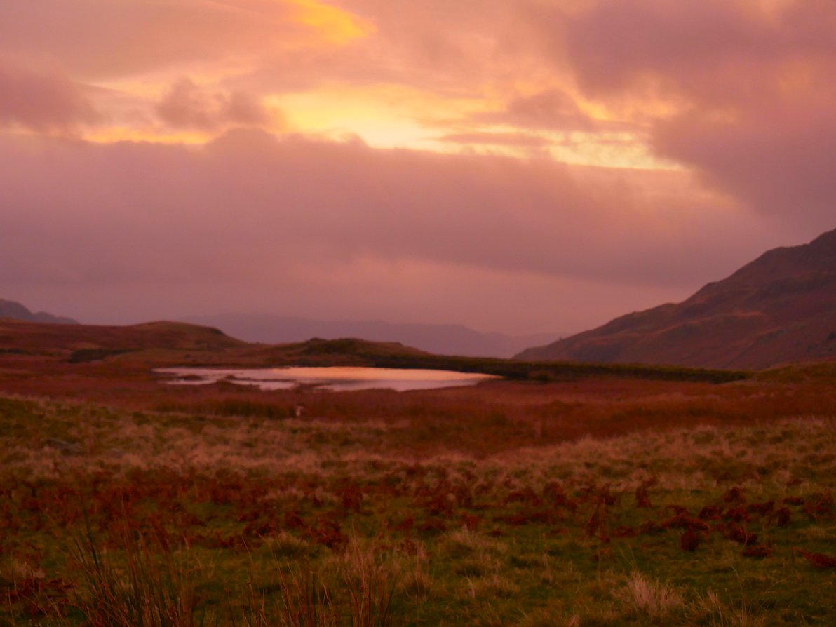
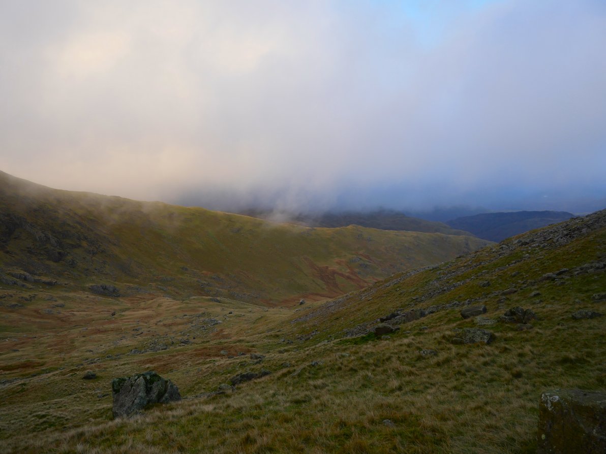
The forecast for Sunday was for a dry start with rain coming in the afternoon and the day did start with a lovely red glow and mist over the fells to the east.
After a leisurely breakfast I made my way down to the reservoir. There was a nice bit of early morning cloud draped over Wrynose and Lingmoor fells
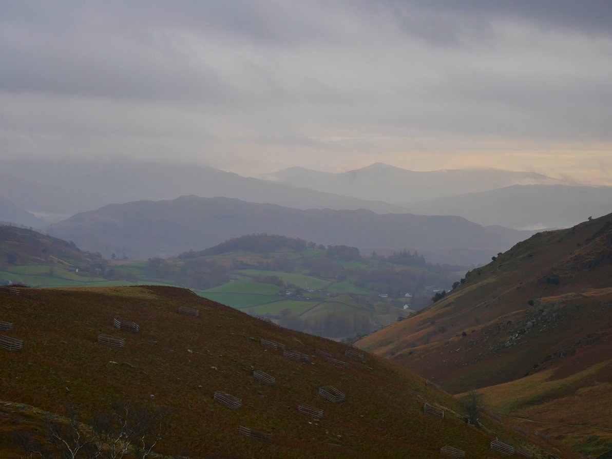
And a lovely view further afield to the distinctive shape of Ill Bell.
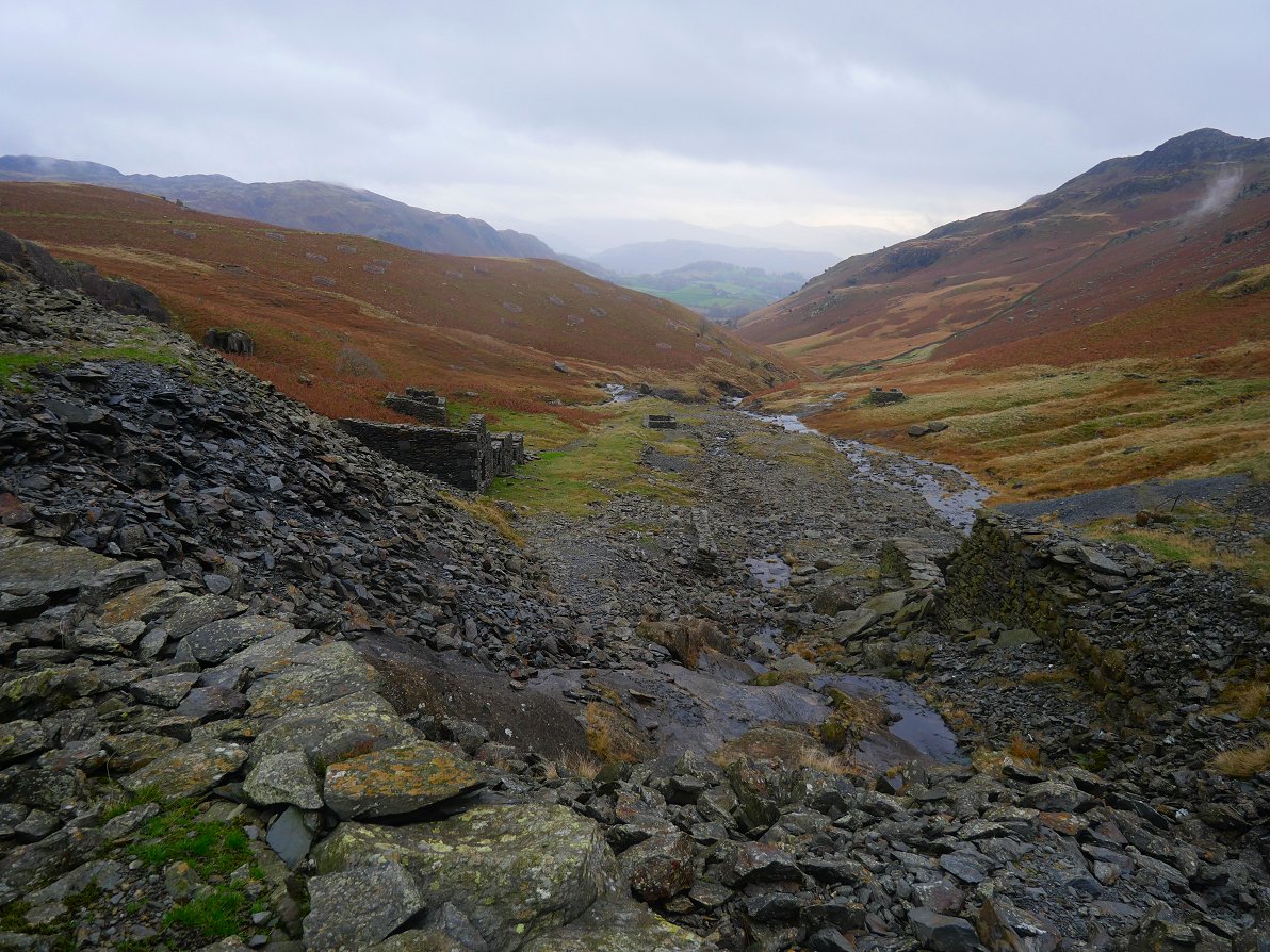
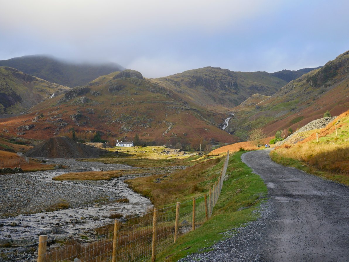
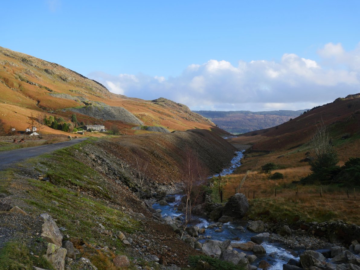
I has a mooch around the quite extensive working of Greenburn Coppermine.
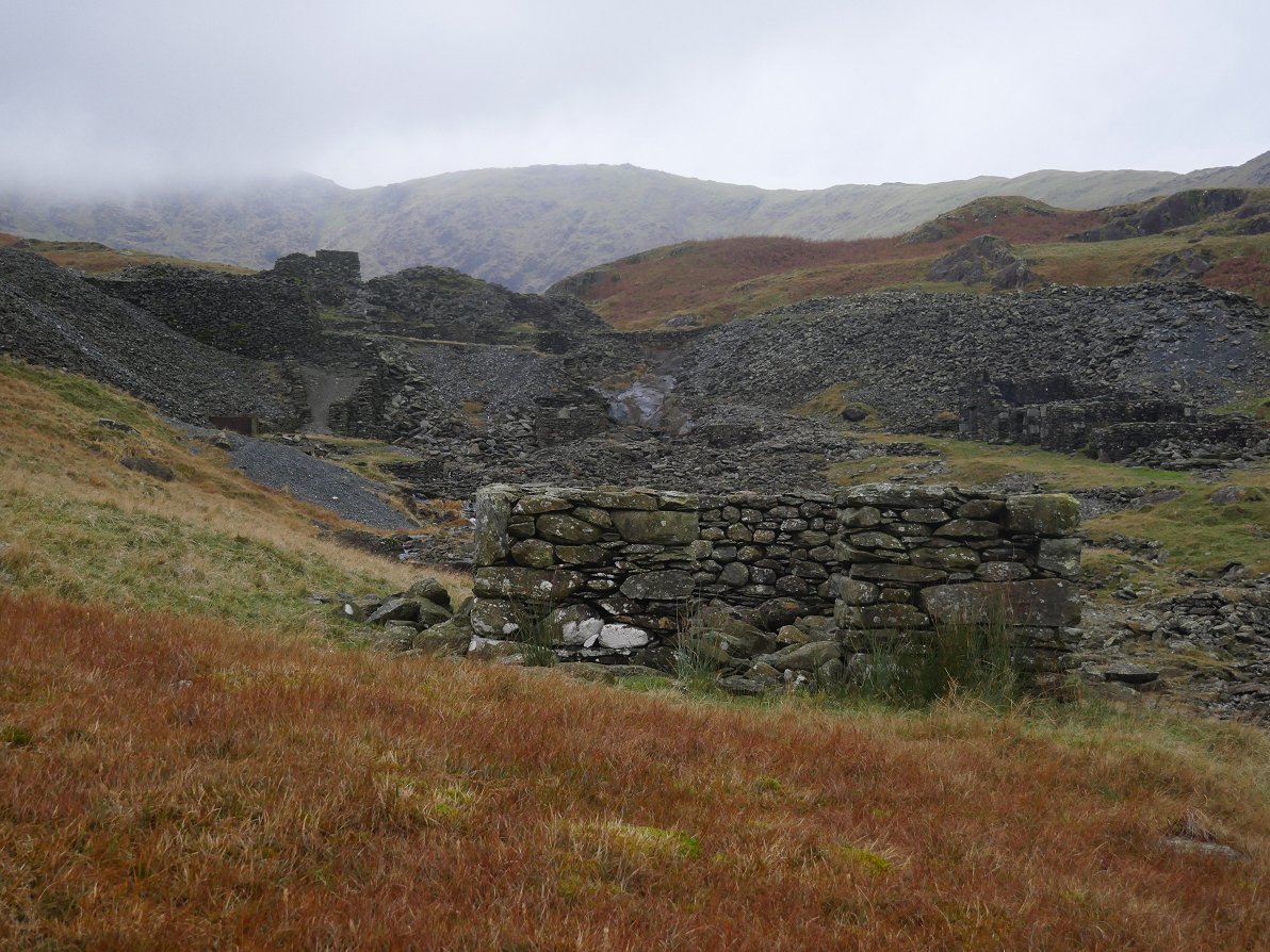
This is the blasting powder hut sited well away from the main mine buildings.
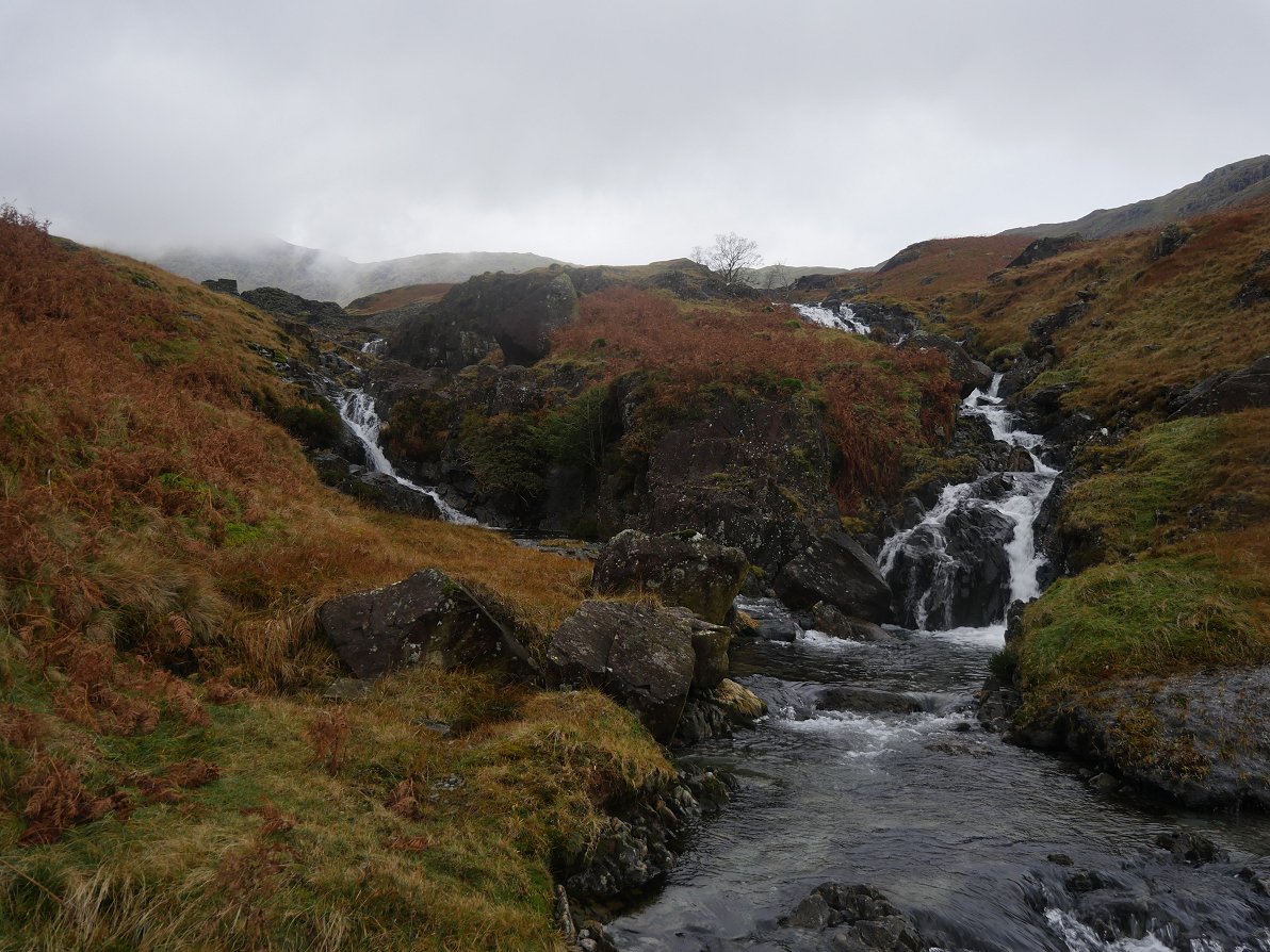
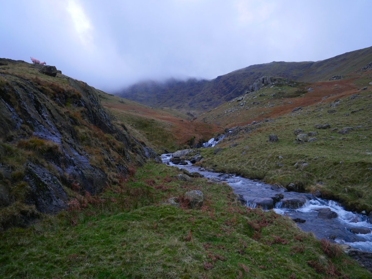
Following Greenburn Beck down stream past a lovely summertime swim spot.
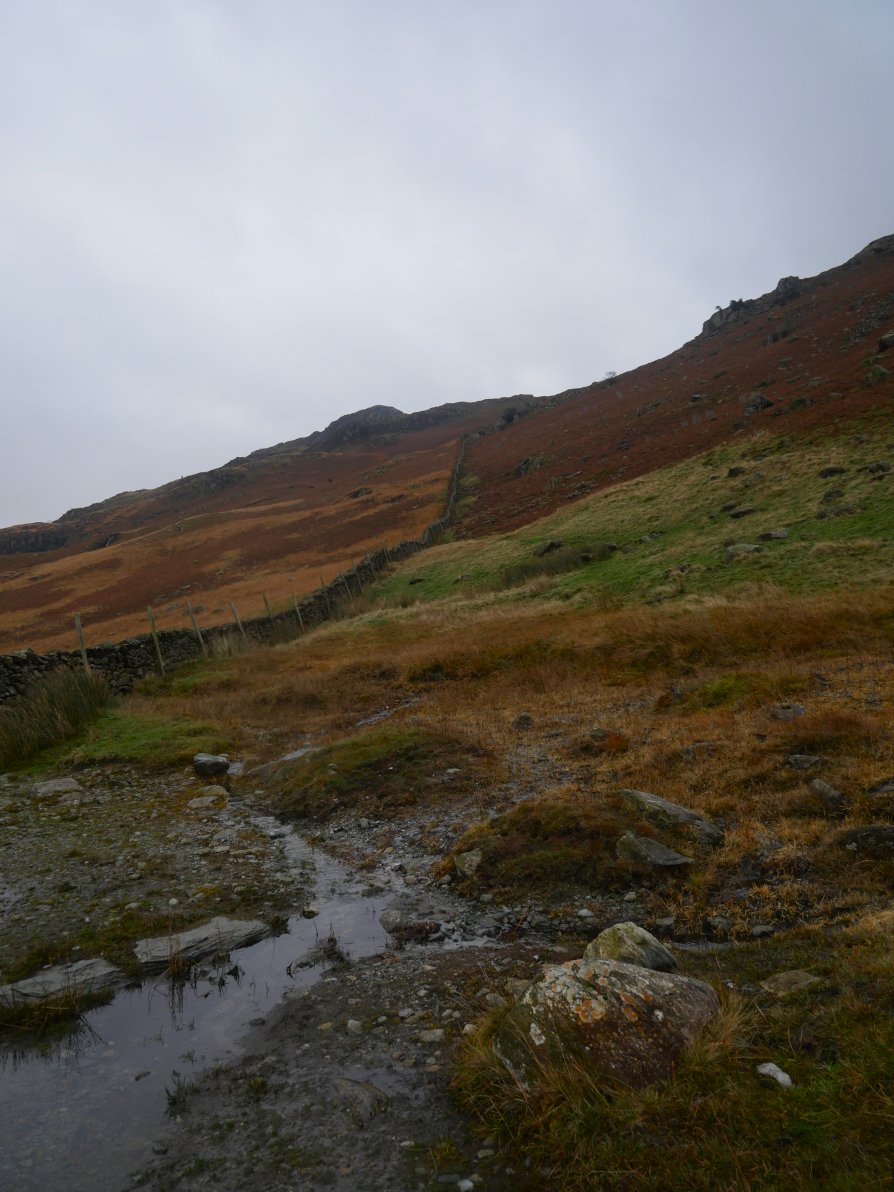
My plan was to now climb up to Birk Fell and then Wetherlam by Wetherlam Edge. The day has become quite cloudy now and there was rain in the breeze which I hoped would come to nothing.
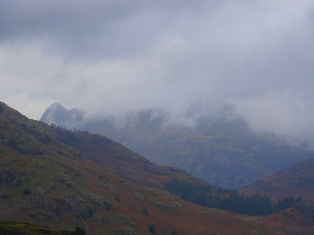
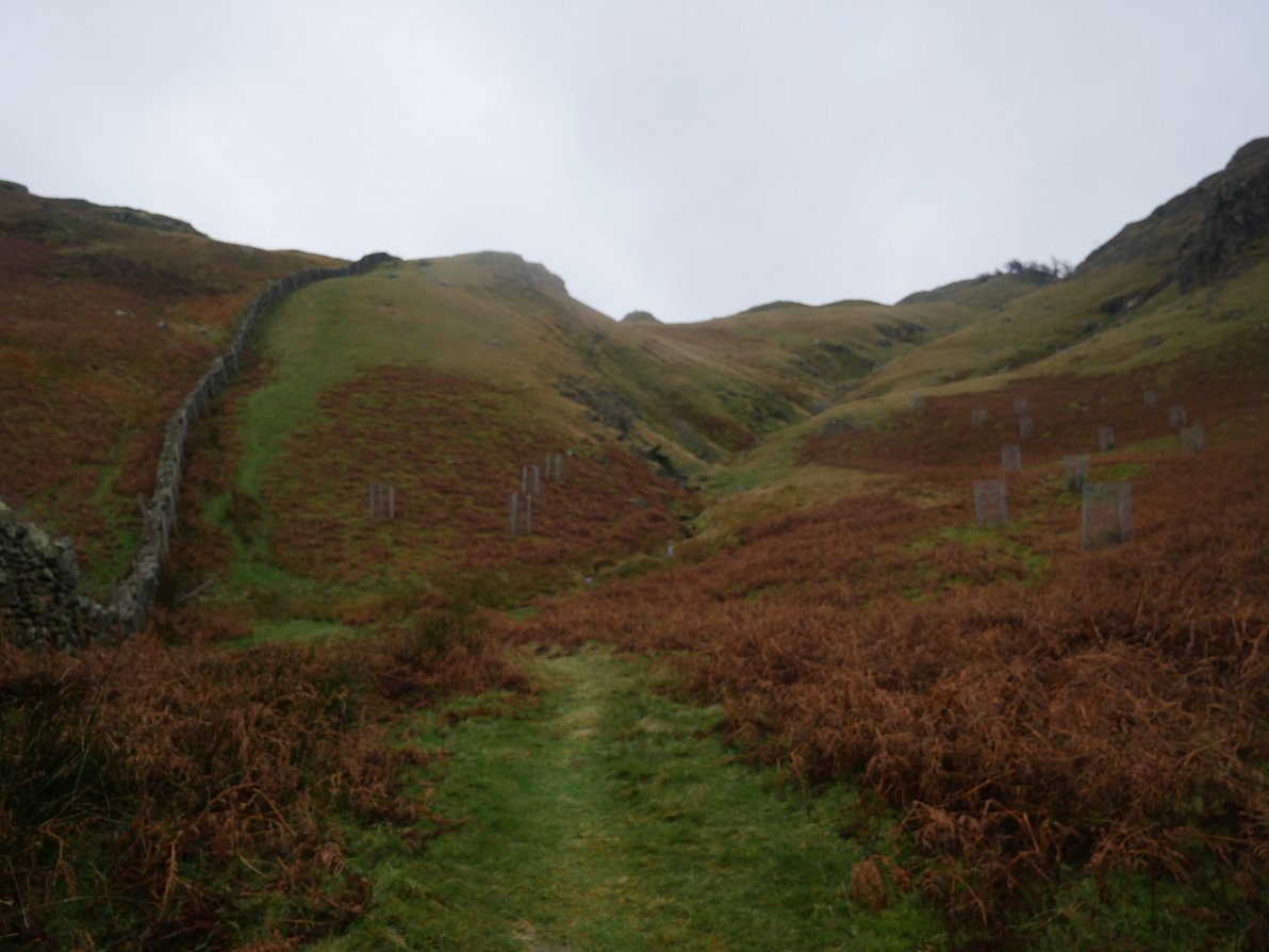
Misty Langdale Pikes from the steep climb by the wall.
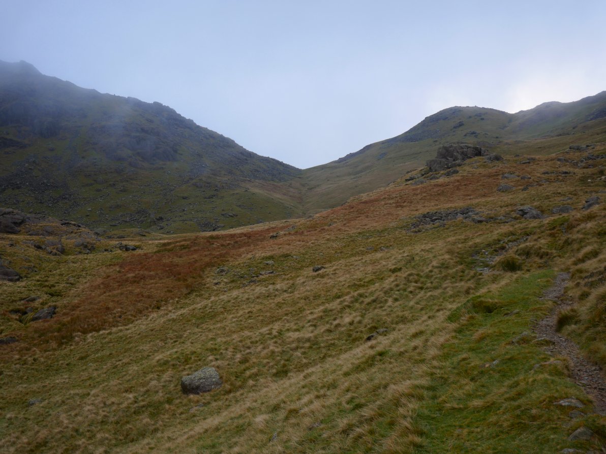
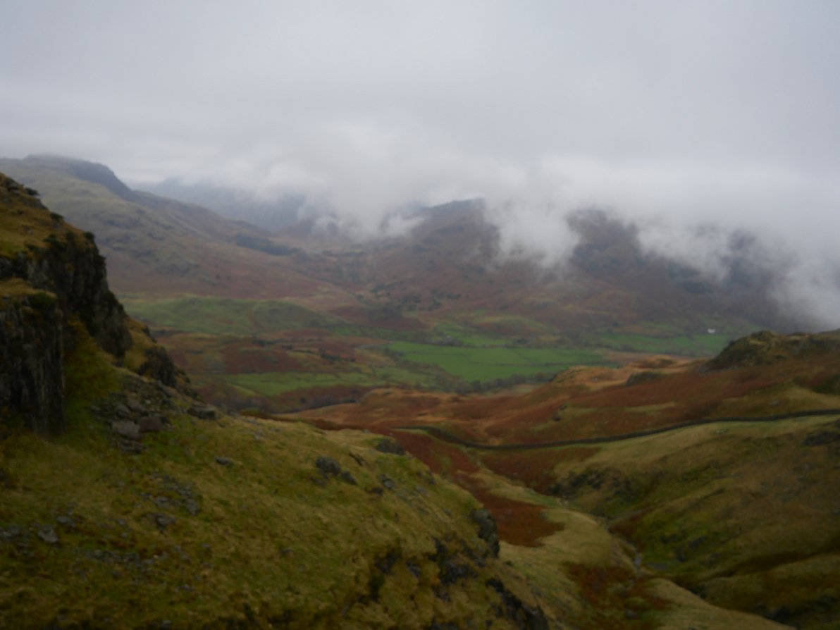
By the time I'd reached this little coll between Birk fell and Great Intake the rain had become more persistent but I decided to press on in the hope that the bad weather would blow through as it was now quite windy.
I took a more direct route following Birk Fell Gill.
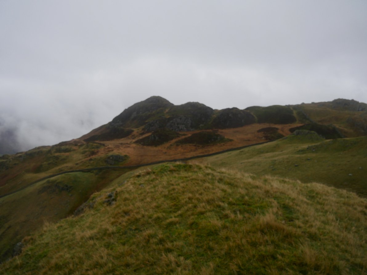
Great Intake. It was now raining quite hard so I decided to scrap the idea of Wetherlam and instead descend to the road at Tilberthwaite and walk back to Coniston that way.
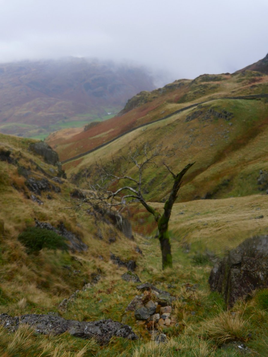
Looking back down the way I'd come. The Langdales have disappeared into the mist.
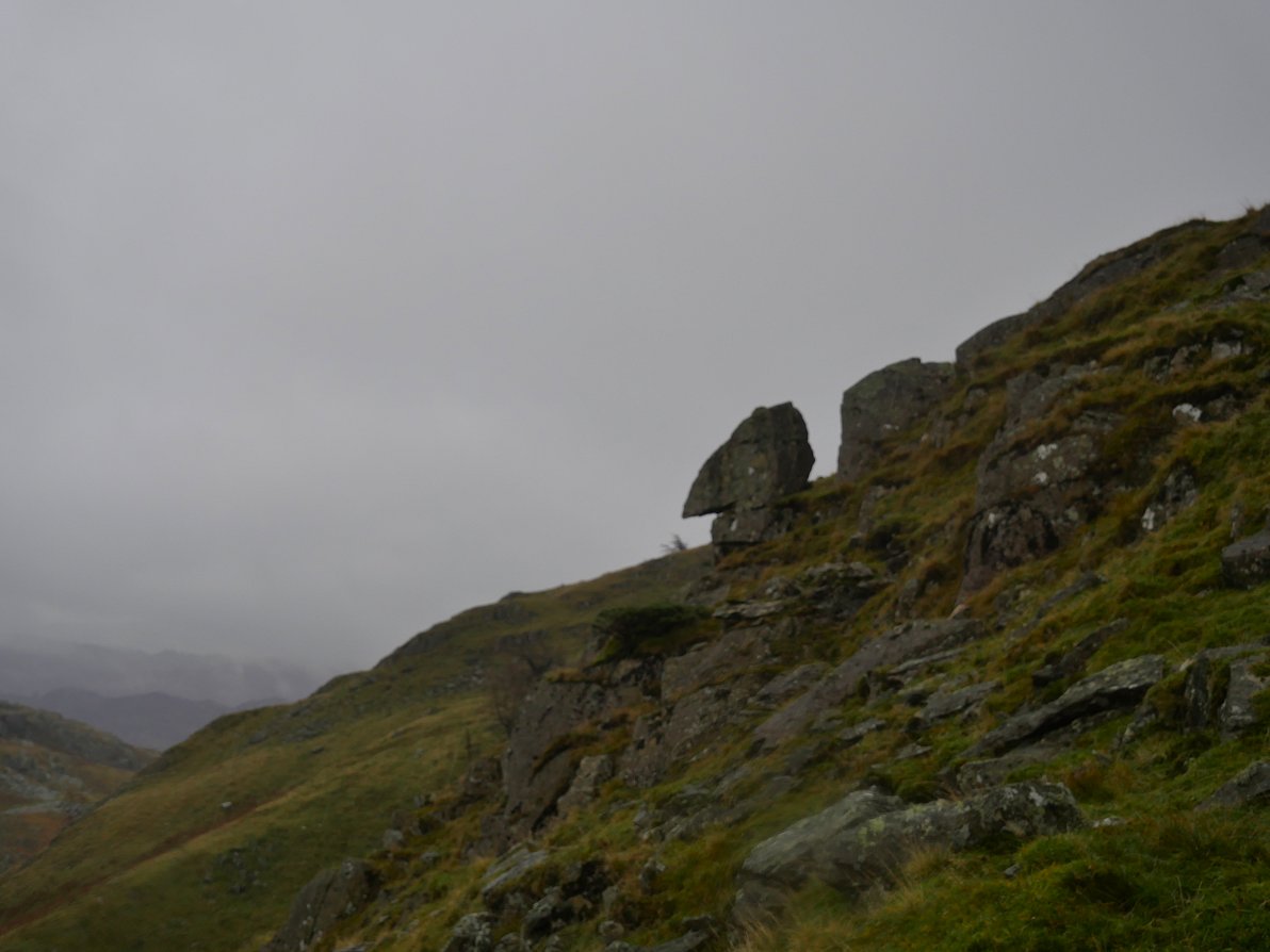
The "old man of Tilberthwaite" well that's my name for him anyway. The rain absolutely bounced it down all the way back to Coniston but after I'd negotiated the steep and slippery path down to the road I was able to make good time and was soon back to my car.
Previous walk -- Lleyn Peninsula - Next walk - Red Screes