WWW.KARLSWALKS.CO.UK
PICTURES AND TRIP REPORTS FROM MY WALKS IN THE ENGLISH LAKE DISTRICT
|
|
|
|||||
|
|
|
|
|
|
|
|
E-mail - karl@karlswalks.co.uk |
Luckily for me the best weather of the week fell on Sunday so I headed up to the small car park outside the Hartsop to walk a round of the fells around the village.
As I was sat at the rear of my car pulling my boots on a car pulled up and out jumped a familiar face who greeted me with a warm "hello mate". It was Dave who a few years ago Sue and I walked quite regularly with although it was 2018 when we saw him last. He was doing a similar round to me bagging Wainwright's with his mate Ian who I'd not met.
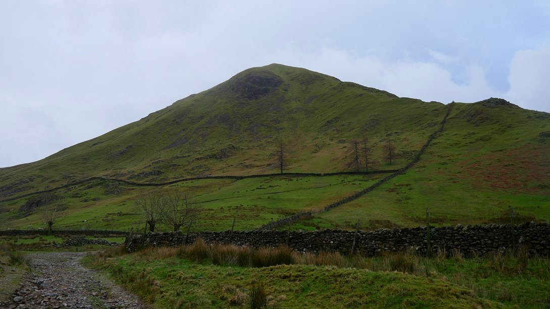
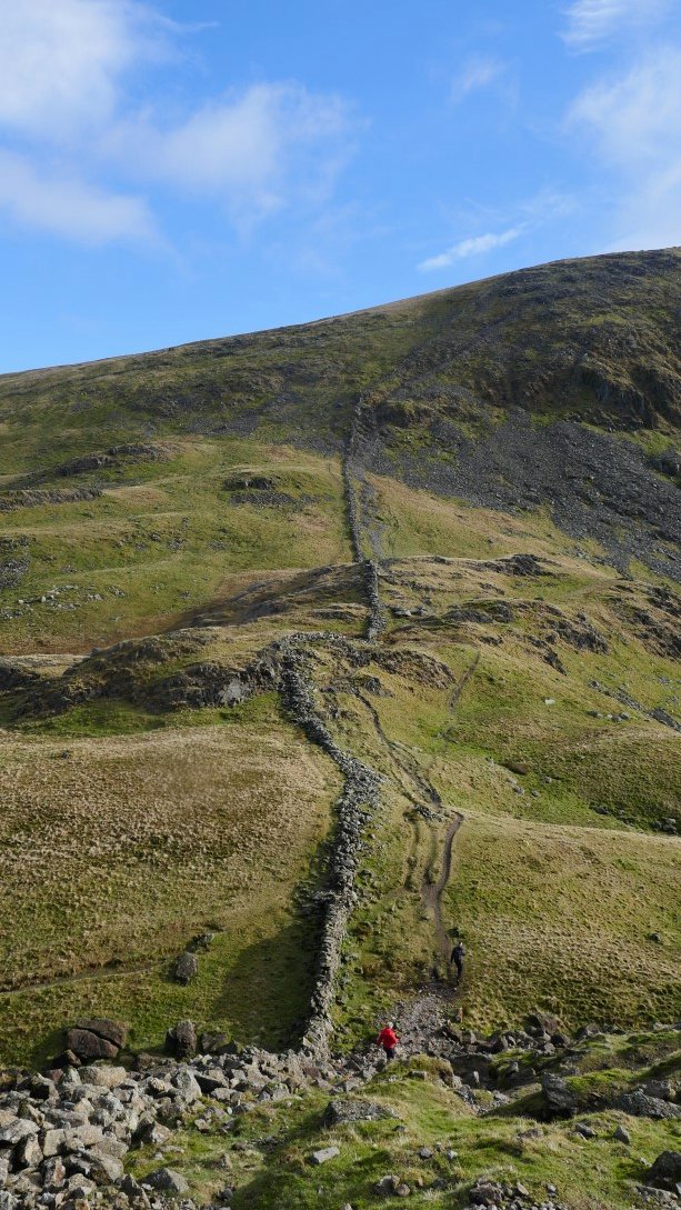
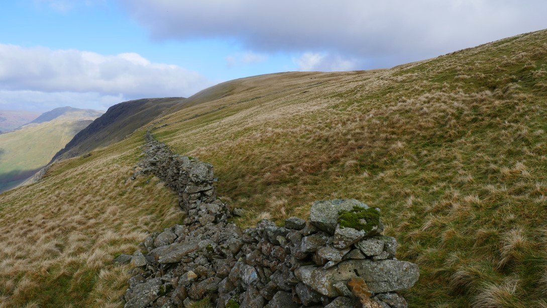
After a quick catch up we all headed for the very steep start to our day climbing with no real warm up by the wall and on to the north ridge of Hartsop Dodd.
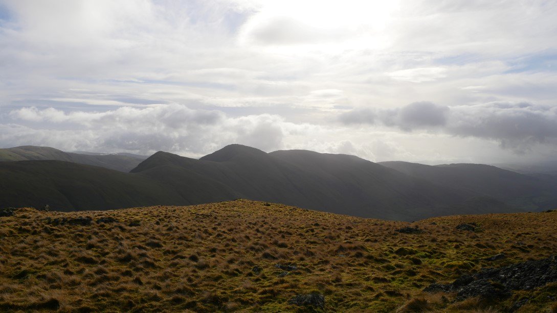
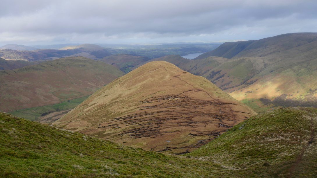
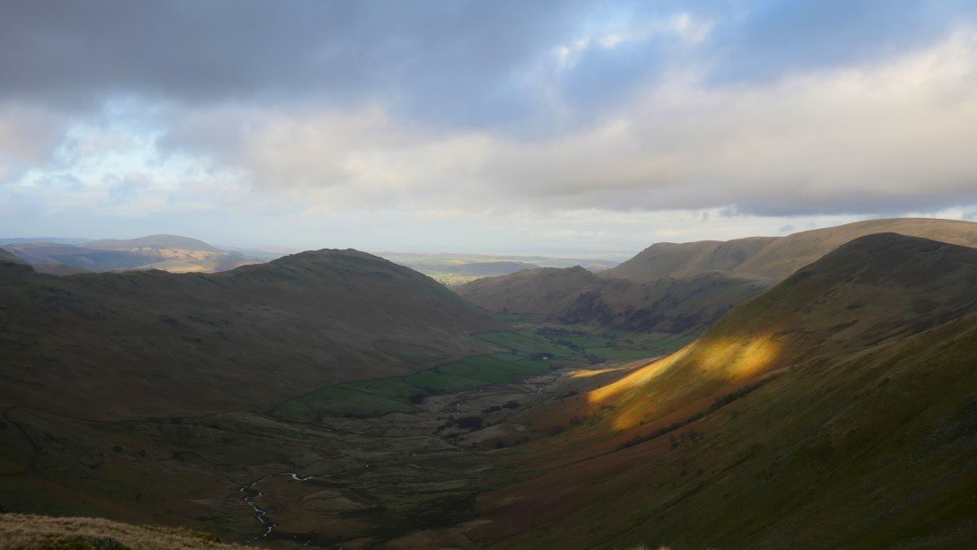
At least with steep starts you soon get good views. Ullswater is just coming into sight in the distance. The lower reaches of Hartsop-Above-How is the wooded fell above Brothers Water with Arnison Crag and Birks beyond that. Place Fell is the big fell on the right.
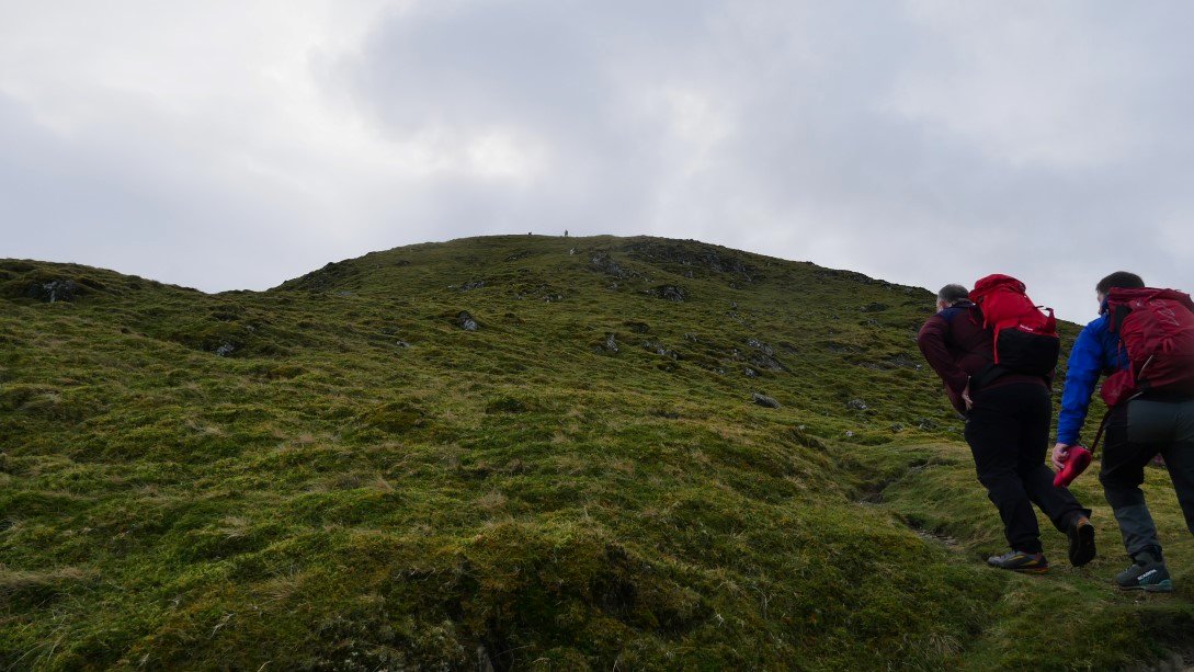
Dave and Ian lead the way.
When you reach the wall the really hard work is over. It was quite warm on the climbs but there was quite a chilly breeze blowing as we neared the summit marker on Hartsop Dodd.
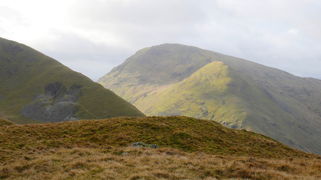
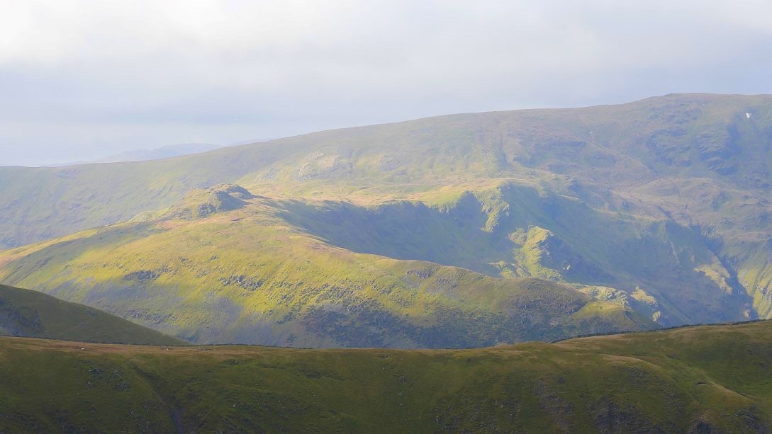
Lots of nice sunshine about in this case lighting up Middle Dodd and Red Screes.
The fence post marking the summit of Hartsop Dodd.
.
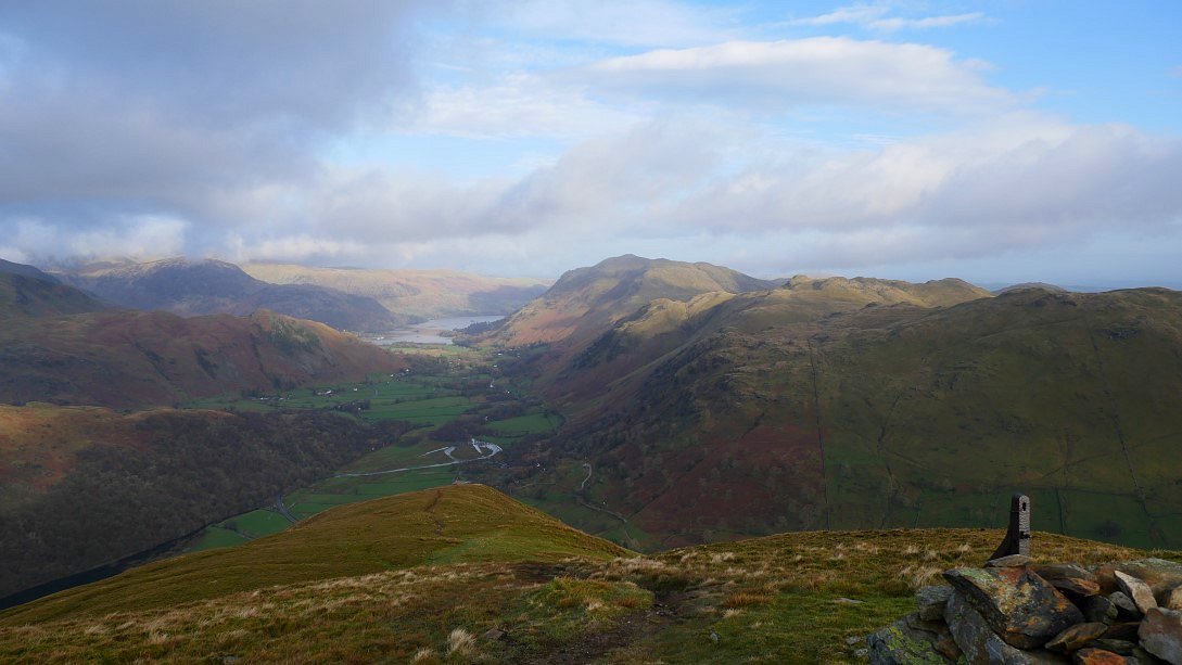
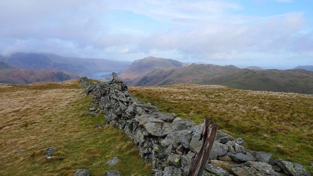
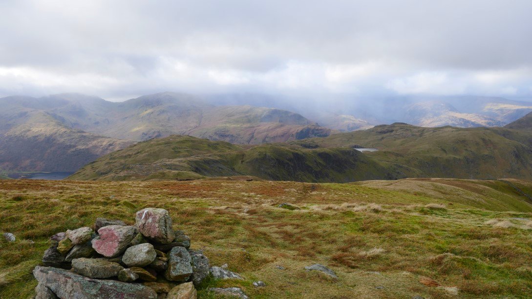
We diverted of the direct path to Stony Cove Pike for a look at the view from Caudale Moor which confirmed that east was best today as all the higher fells to the west were cloud covered.
Looking across to Gray Crag where I was planning to go after visiting Stony Cove Pike. Dave and Ian were heading straight to Thornthwaite Crag which also was on my plans for today but by visiting Gray Crag first I wouldn't have the temptation of heading back to the valley and being home for lunch.
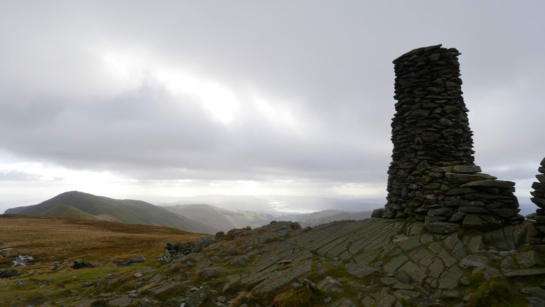
The Ill Bell ridge from Stony Cove Pike.
There are a couple of tricky rock steps on the way down to Threshthwaite Mouth but in the dry and with care they are easily negotiated.
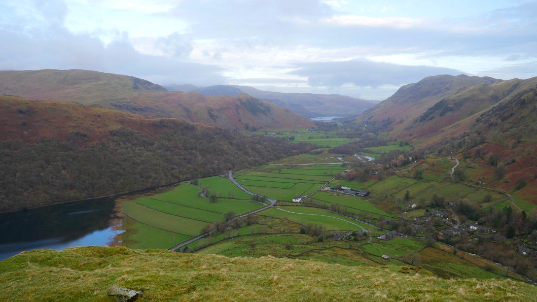
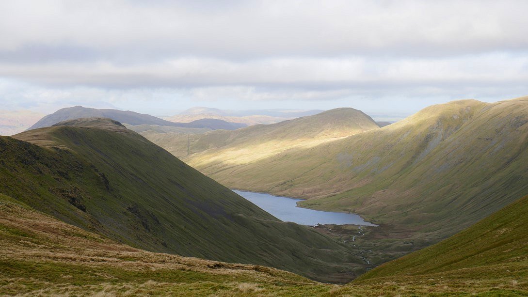
Looking down to Windermere from Thresthwaite Mouth. Troutbeck and The Tongue below.
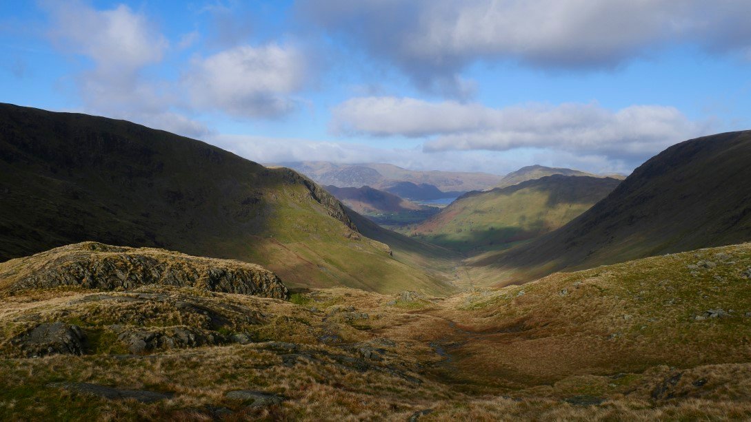
And looking to Ullswater from the same place.
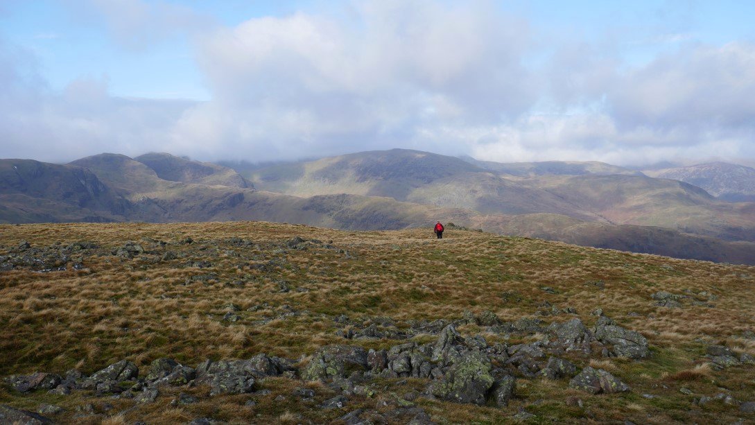
A short way up the climb up to Thornthwaite Crag, Dave, Ian and I parted company. They carried on but I followed a faint trod across the hillside heading in the direction of Gray Crag. The lads were planning to have their lunch by the wall on Thornthwaite so we thought we might meet later when I climbed back up from Gray Crag.
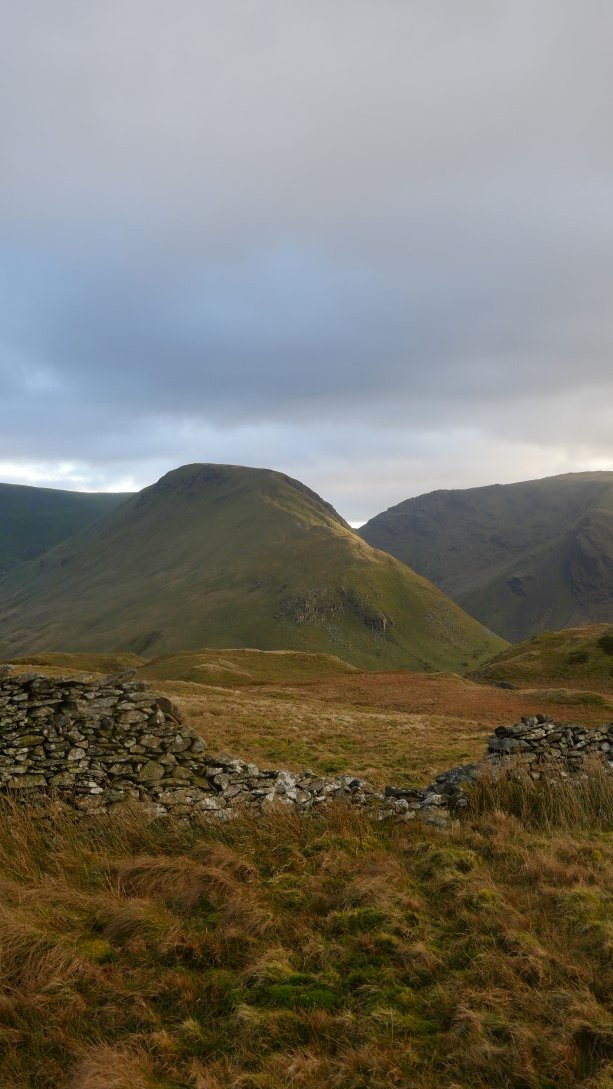
It seemed quite a quick and simple way to reach the top of Gray Crag where after taking a photo of Little Hart Crag in the sunshine I turned about and headed back up the hill
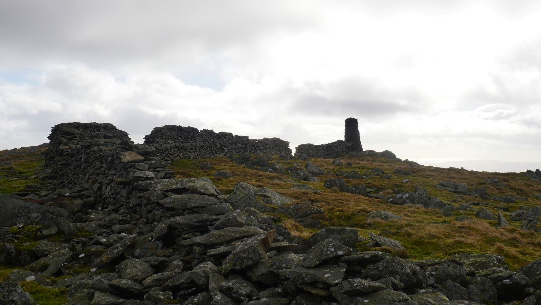
After not too bad a climb Thornthwaite Crag and the cairn appear. There was no sign of Dave and Ian they are obviously quicker eaters than I am walking.
I had my lunch looking across to Harter Fell.
The Ill Bell ridge and Windermere from Thornthwaite.
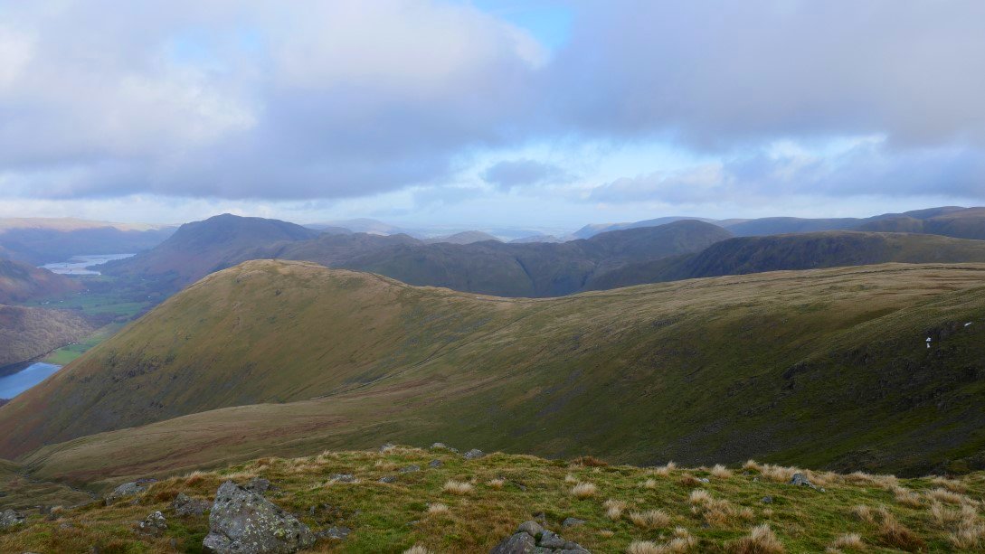
After lunch it was on to the easy path around the head of Hayeswater Gill and onwards to High Street. Gray Crag is on the left.
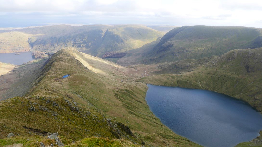
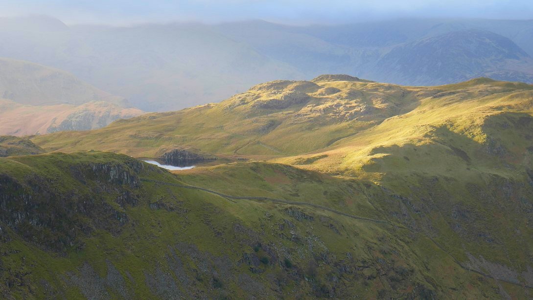
From the wall on High Street I diverted over for the view of Blea water and the rough Crag ridge. Caspel Gate Tarn is the small tarn on the ridge.
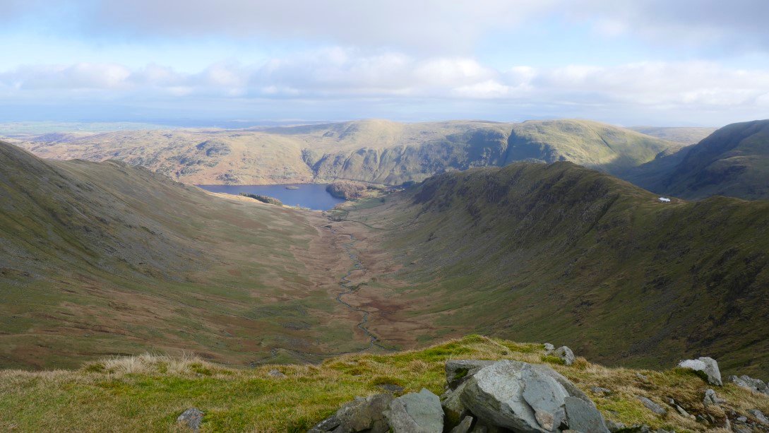
And now I'm on Short Stile looking down into Riggindale and Haweswater.
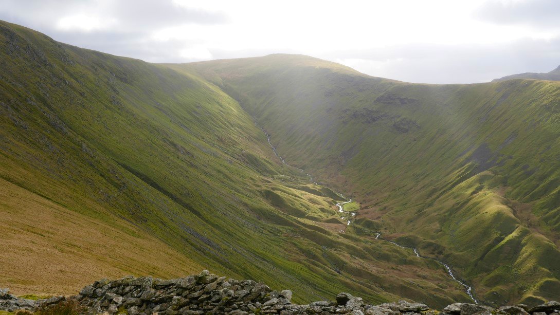
Lovely light on Hayeswater Gill.
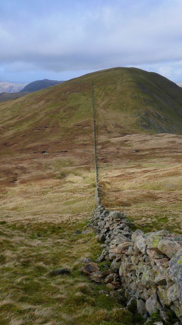
After following the coast to coast path around The Knott I follow the wall down hill headed straight for Rest Dodd.
And then I follow the wall steeply up Rest Dodd.
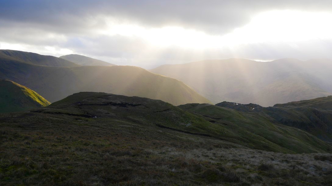
The fells to west including Helvellyn never escaped the cloud today. A small slice of Angle tarn can be seen from Rest Dodd summit.
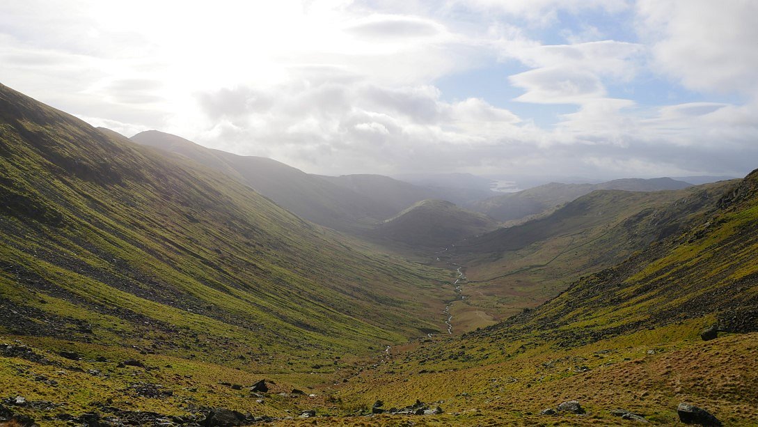
From Rest Dodd it's another knee basher down to The Nab.
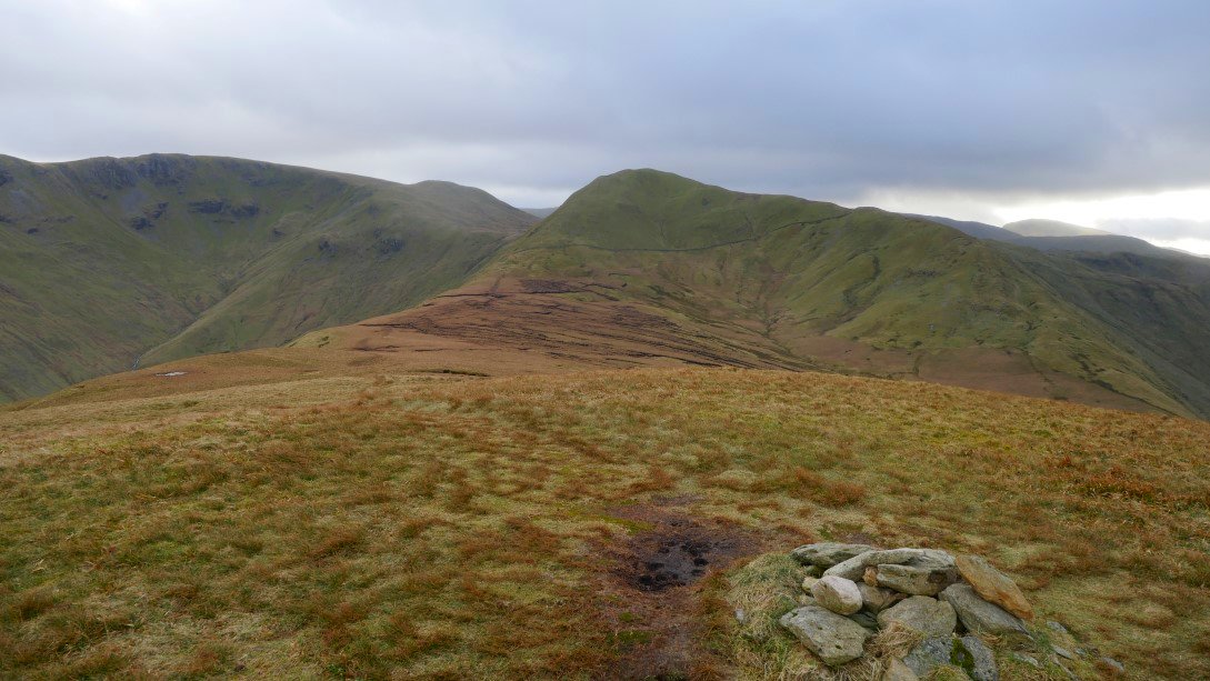
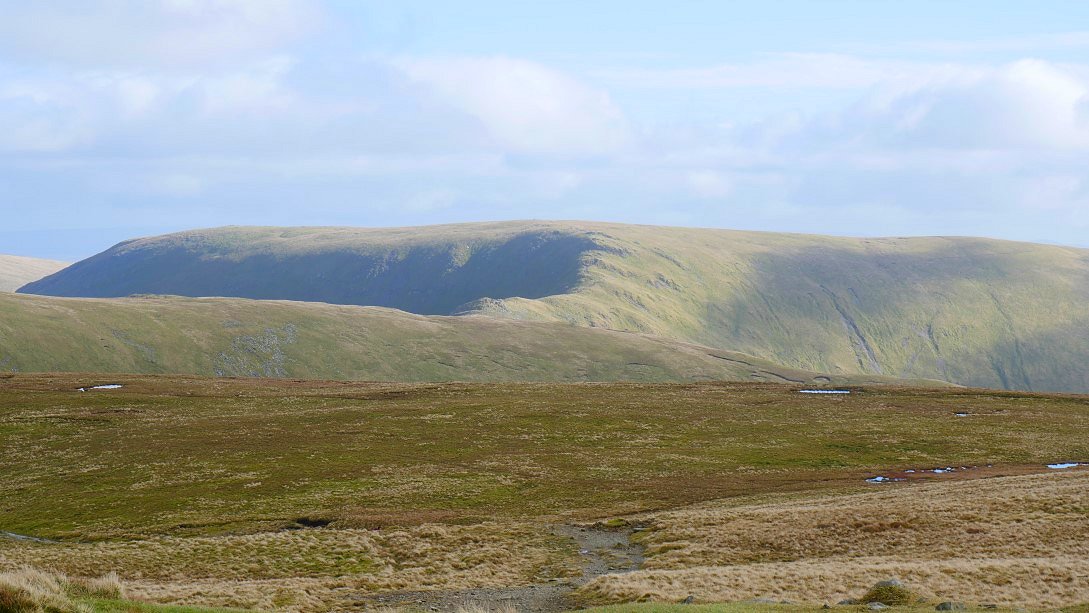
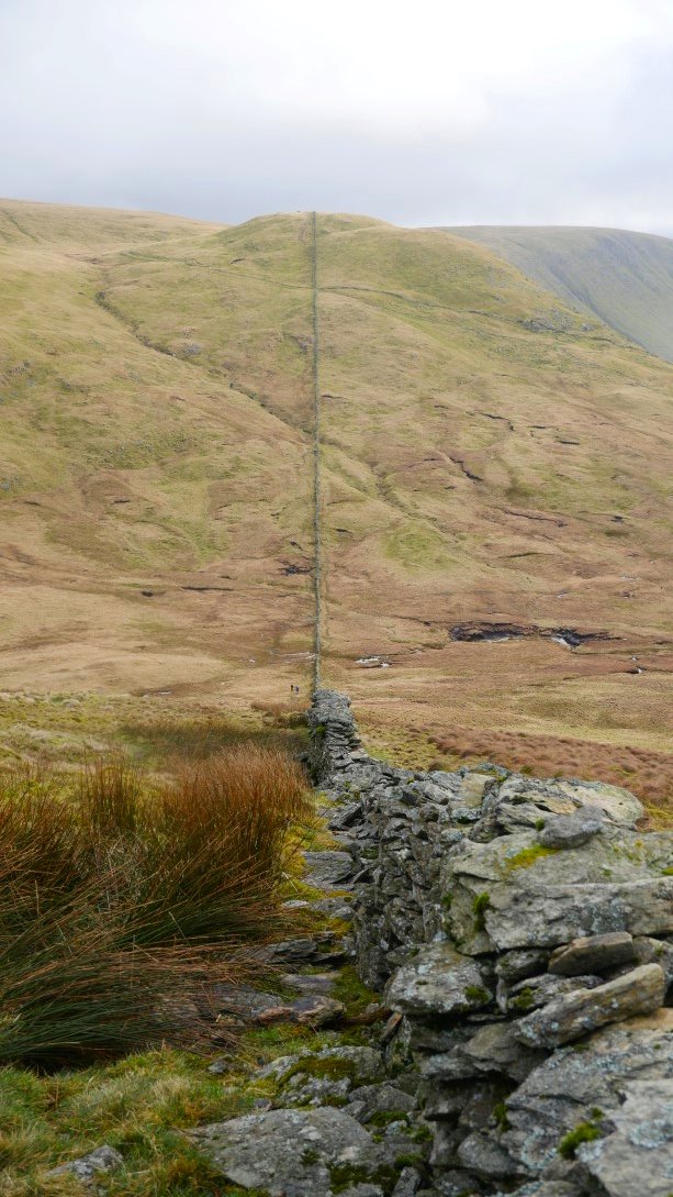
And looking back to Rest Dodd from my final Wainwright top for today. My route back to the car follows the wall which you can see traversing the slopes of Rest Dodd.
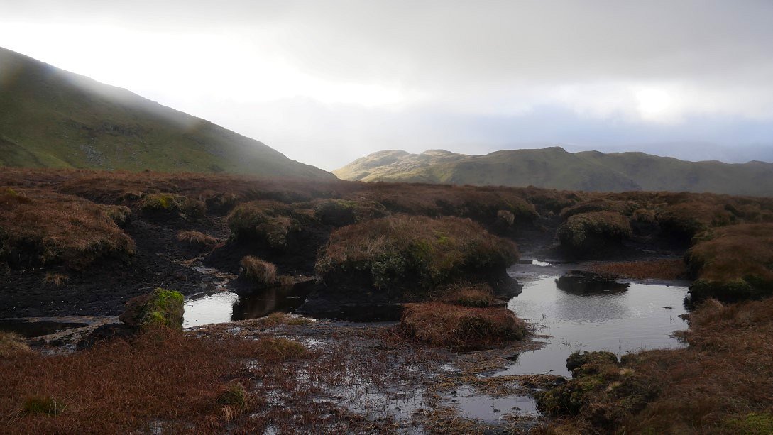
Passing one of the notorious peat hags on my retreat from The Nab. It's started to spit with rain now but thankfully it only lasted a few minutes.
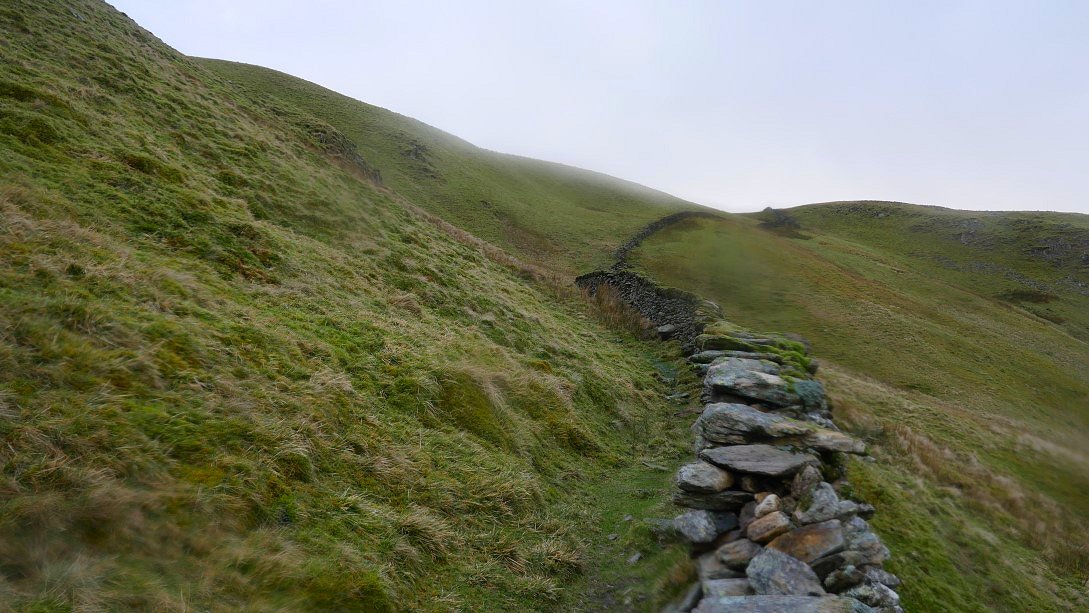
The wall followed most of the way to Satura Crag.
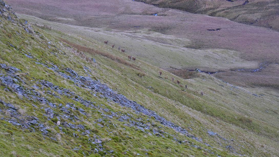
Compulsory eastern fells deer photo.
More Lovely evening light over Angletarn Pikes.
In fact it became quite a lovely late afternoon.
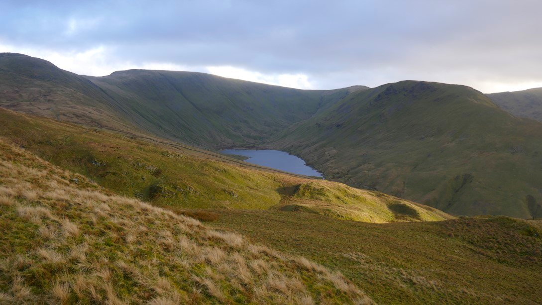
Hayeswater.
Even The Nab gets a share of the sunshine.
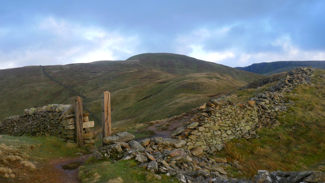
Rest Dodd from the Satura Crag gateposts.
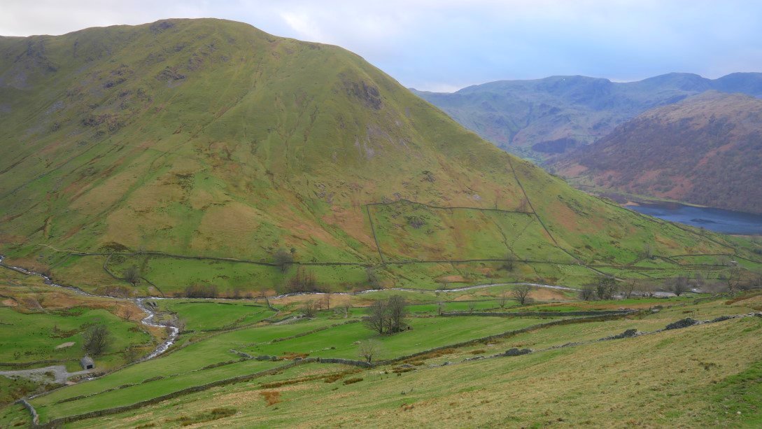
And Gray Crag from where I turn left downhill and join the zig-zag path under Brock Crags.
Hartsop Dodd again from the path. My knees and back were aching now but that couldn't take away from what had been a fantastic walk in brilliant weather, and to meet an old buddy as well. Perfect !
Previous walk - Great and Little Langdale - Next walk - Gowbarrow and the Mell Fells