WWW.KARLSWALKS.CO.UK
PICTURES AND TRIP REPORTS FROM MY WALKS IN THE ENGLISH LAKE DISTRICT
|
|
|
|
||||
|
|
|
|
|
|
|
|
E-mail - karl@karlswalks.co.uk |
After being laid low with a virus last week I wanted to get out over the bank holiday but didn't want too strenuous a route as I was still feeling the effects of my illness and wasn't 100%.
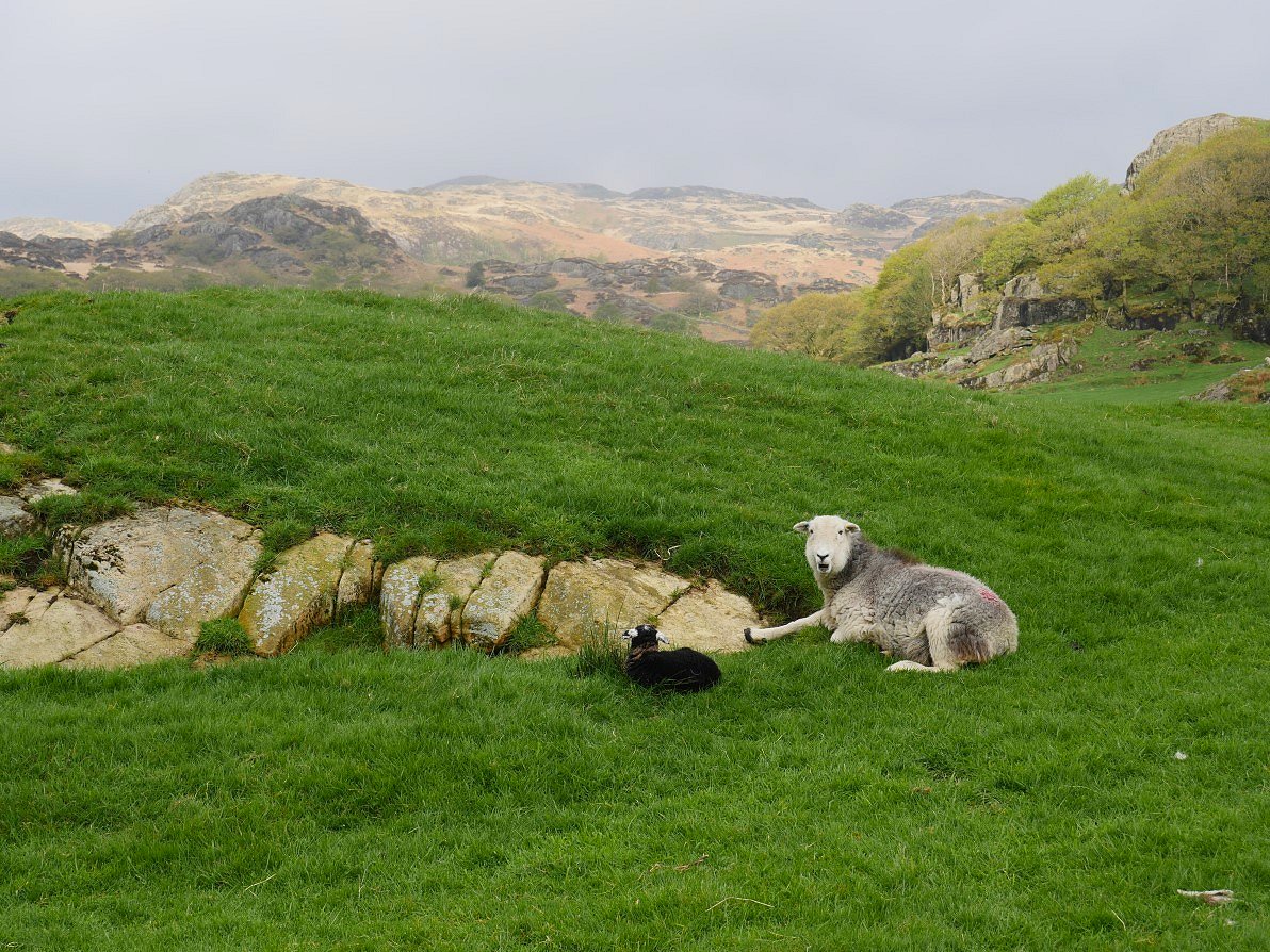
There is space for round five or six cars at the Dunnerdale end of the Walna Scar road so that's where I parked up and made my way back to Seathwaite.The weather was fine if a little muggy and overcast but was forecast to improve throughout the day. There is a short cut through Turner Hall campsite which cuts out a little road walking. Plenty of mothers and new lambs in the fields by the track.
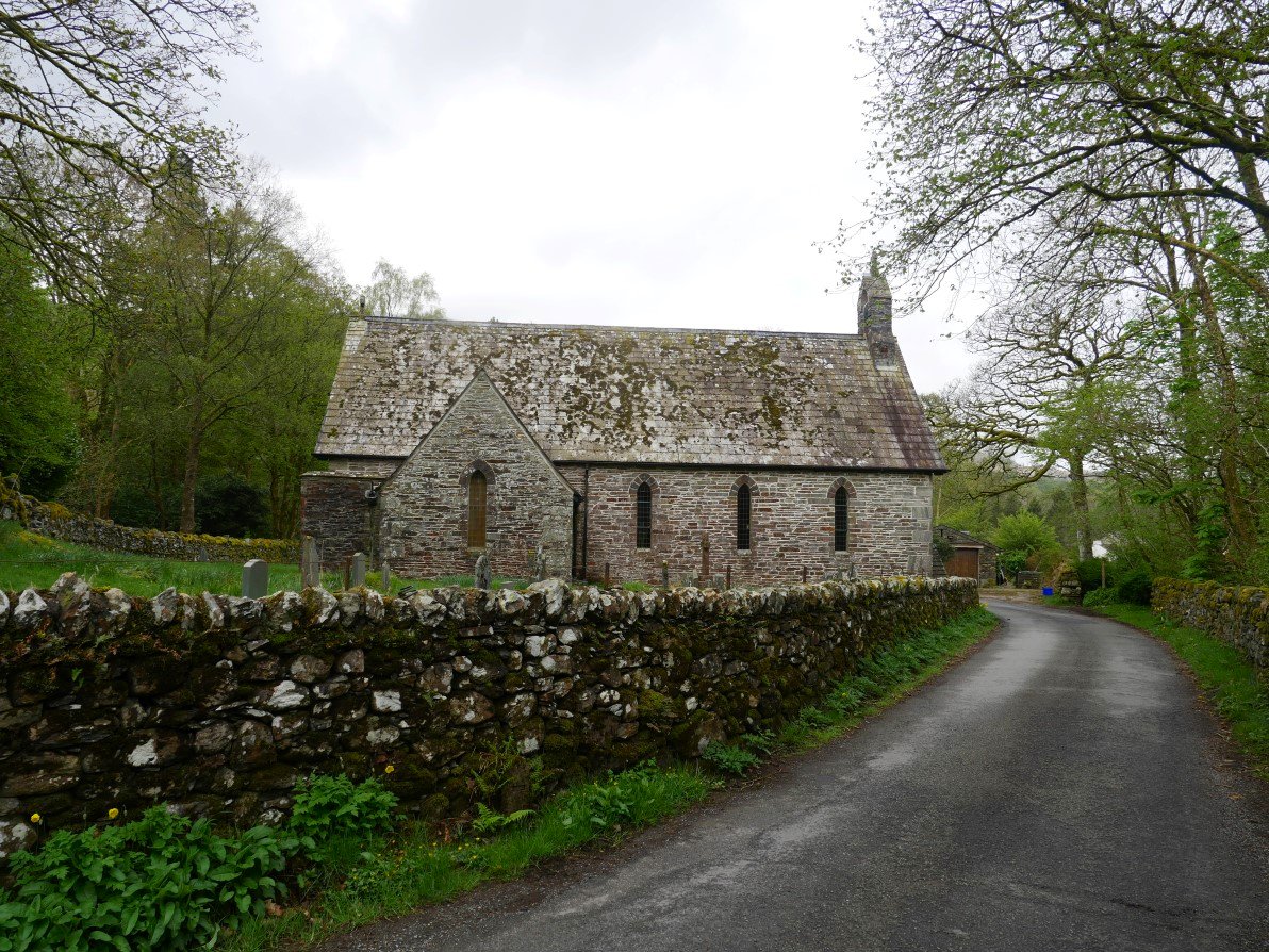
Holy Trinity church Seathwaite which dates from the 16th century.
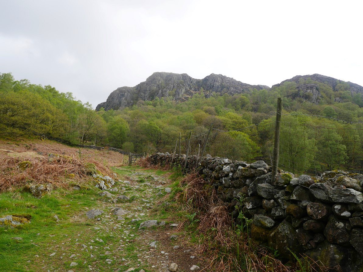
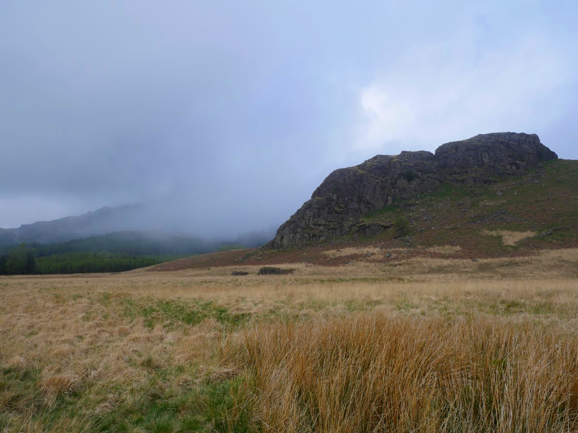
Across the road from the church is a pleasant path which takes you down along by Tarn beck then over the Duddon to High Wallowbarrow from where there is a steady climb by the crag.
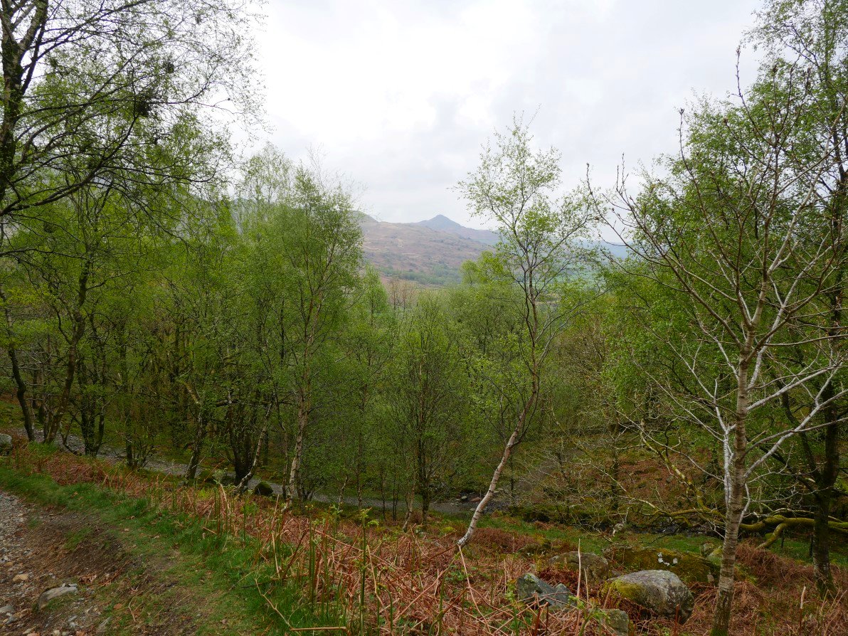
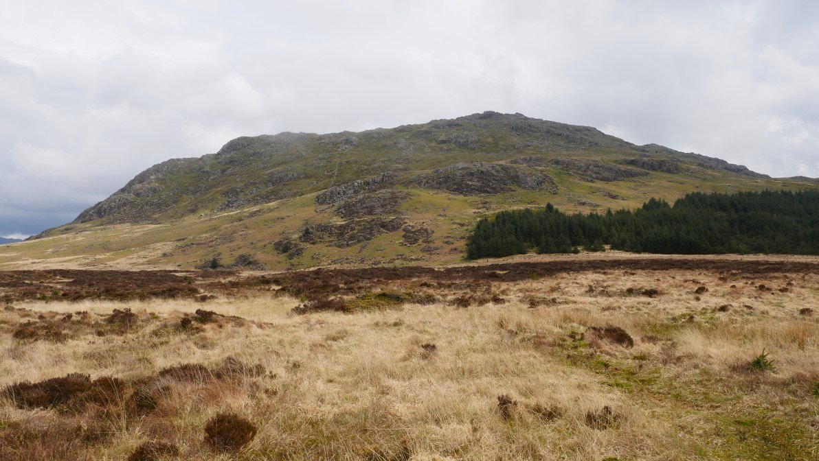
Stickle Pike is seen on a look back through the trees on the climb.
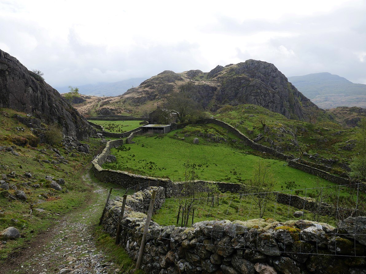
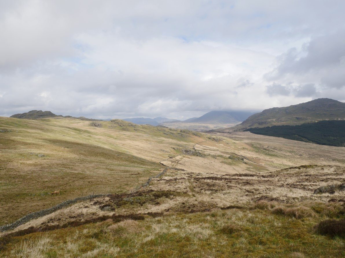
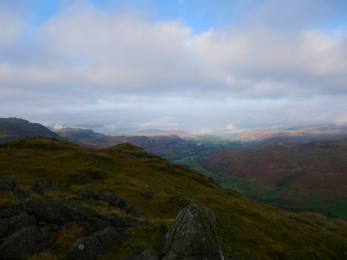
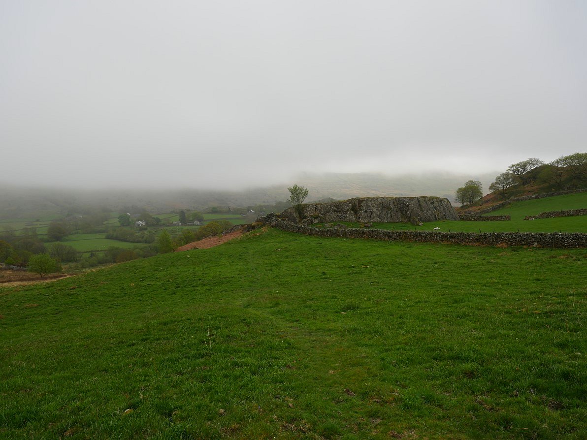
When planning my walk I wanted to find a way to Green Crag without having to go through Grassguards and then the horrible boggy trudge up the hillside. I could see a way via Iron Crag which looked interesting but the land around Low Stoneythwaite was not open access so I thought I'd suss out the situation when I got there. There wasn't any signs indicating the way but also there were no "keep out" signs and all the gates had been wedged open so I risked it and walked past the farm to the track you can see here. This is looking back to the farm and Wallowbarrow Crag..
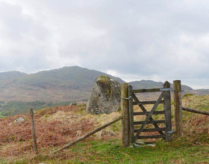
Just up the hill from the farm was this little hand gate and a strange rock. Of course I had to go through the gate for a look. I don't think the rock is anything significant but what there was is a lovely view of the Duddon Valley.
.JPG)
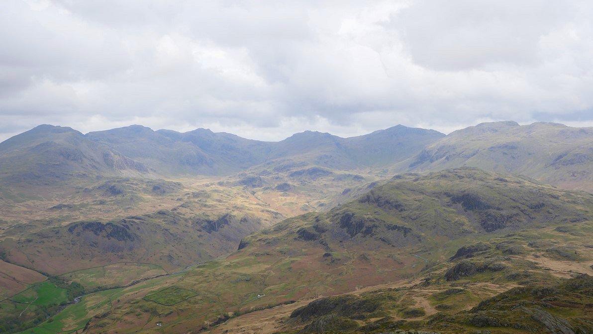
Panorama from the viewpoint. In the left foreground is Wallowbarrow Crag, in the left background the higher Coniston fells are in the cloud but the steep escarpment of White Pike leads on to Pikes and Caw then the Fox Haw fells and finally the pointed Stickle Pike.
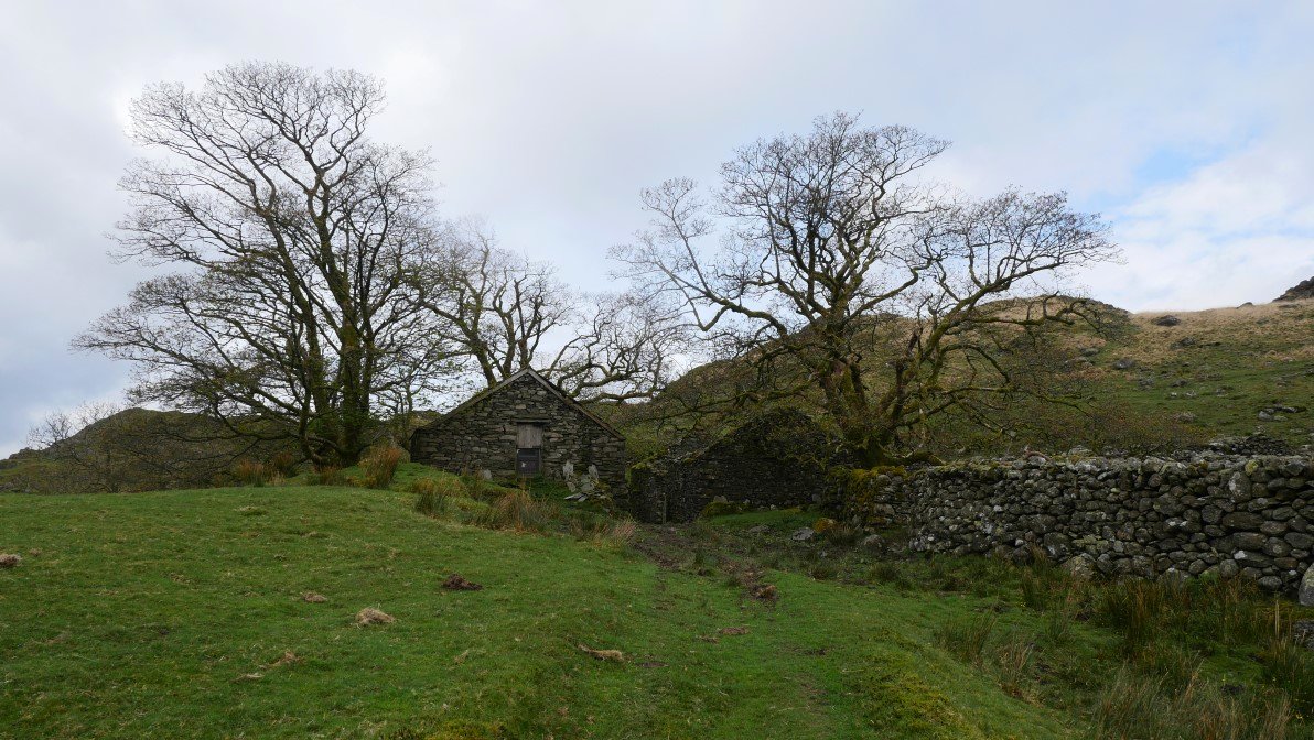
Further up the hill are the ruins of High Stoneythwaite.
.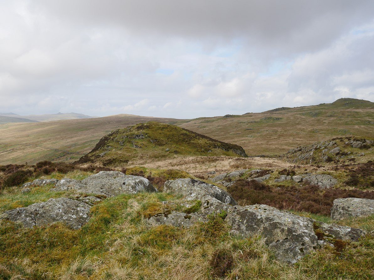
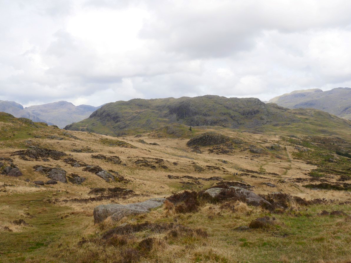
After crossing a bit of boggy and tussocky ground I climbed Iron Crag. This is the top but just across the way is a cheeky little subsidiary top which looked a nice spot for elevenses.
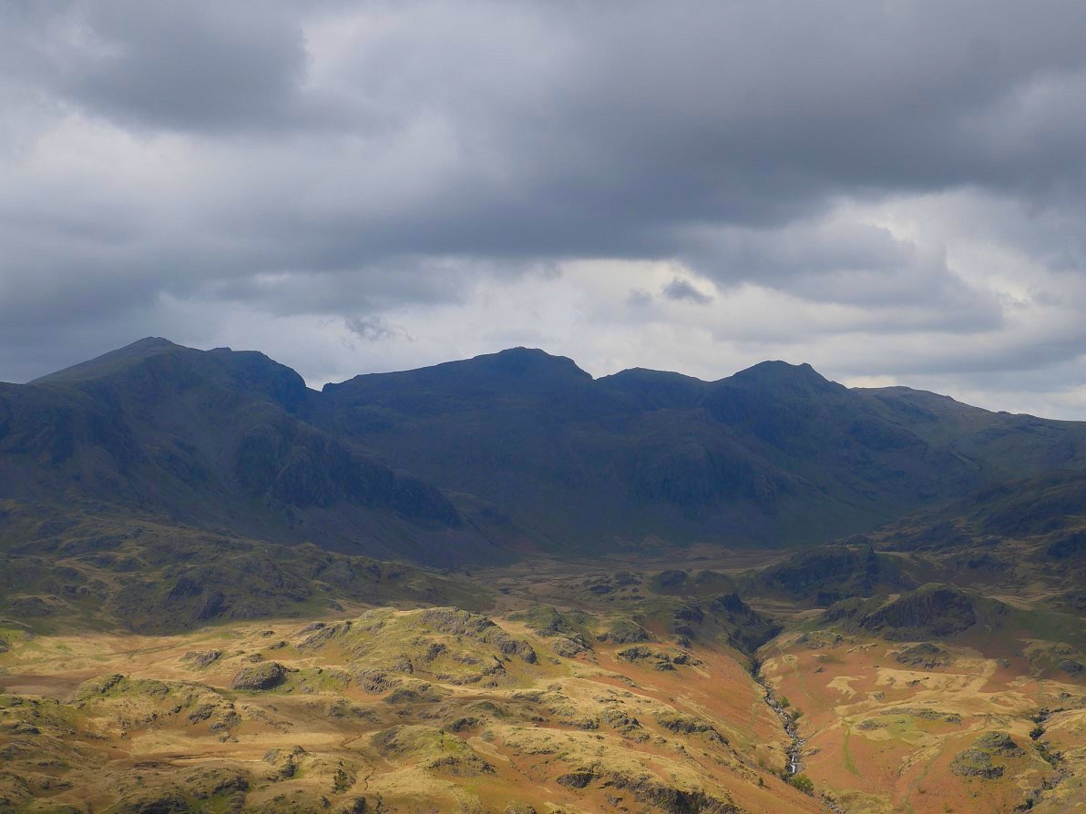
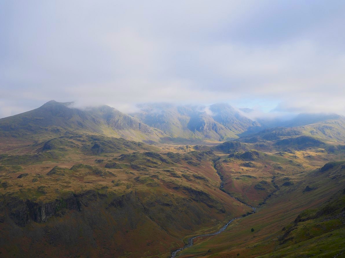
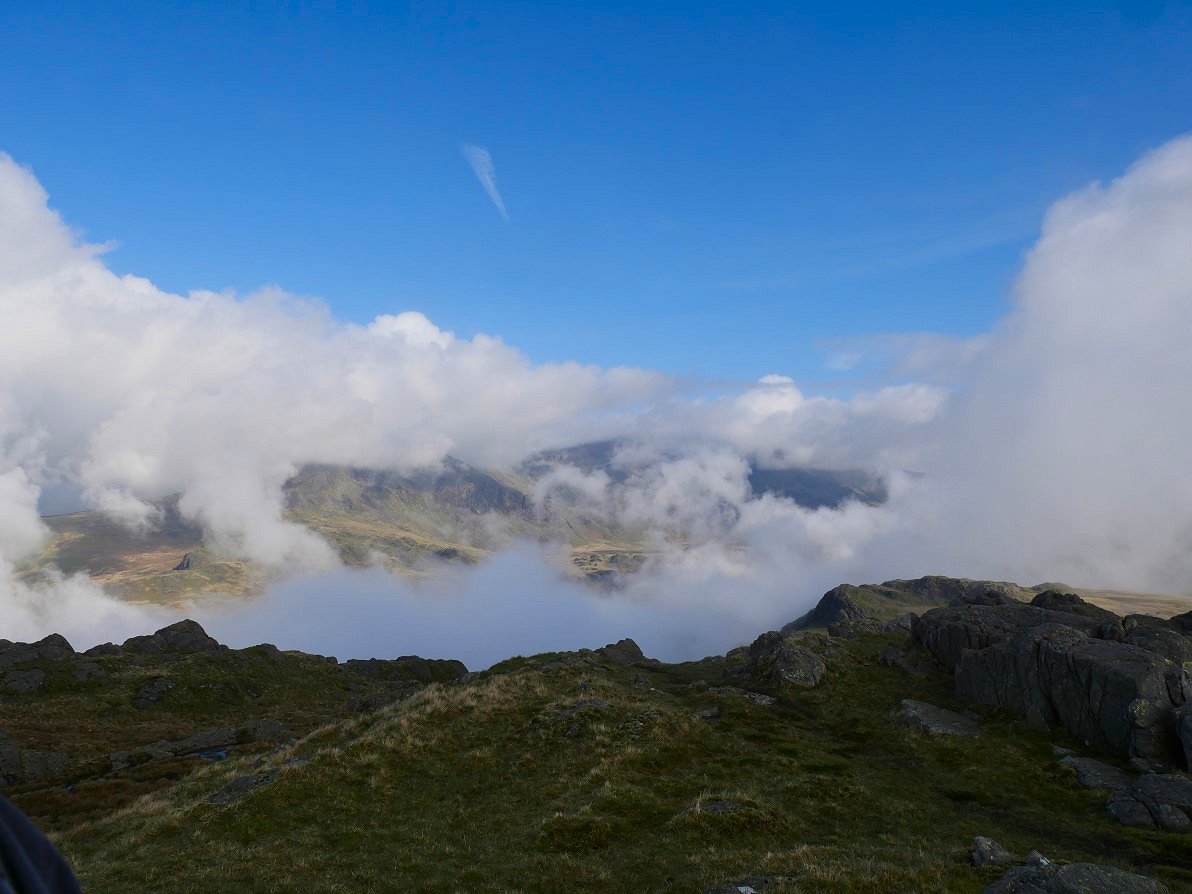
Green Crag is on the left and Harter Fell is to the right. Scafell is the large fell in cloud in the distance. I climbed over White How on the way to Green Crag as it was in the way..
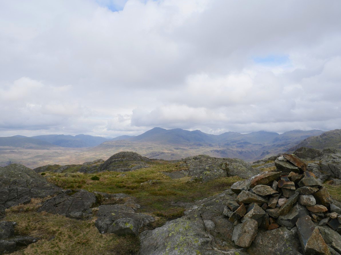
By the time I'd reached Green Crag the Scafell group was now free from cloud.
The crossing between Green Crag and Harter Fell is a well known bog fest but by keeping more to the left I got across comparatively unscathed unlike last time I came this way when I jumped on to what I thought was dry land only to find it was a small floating Island which gave way under my weight and I got very wet..
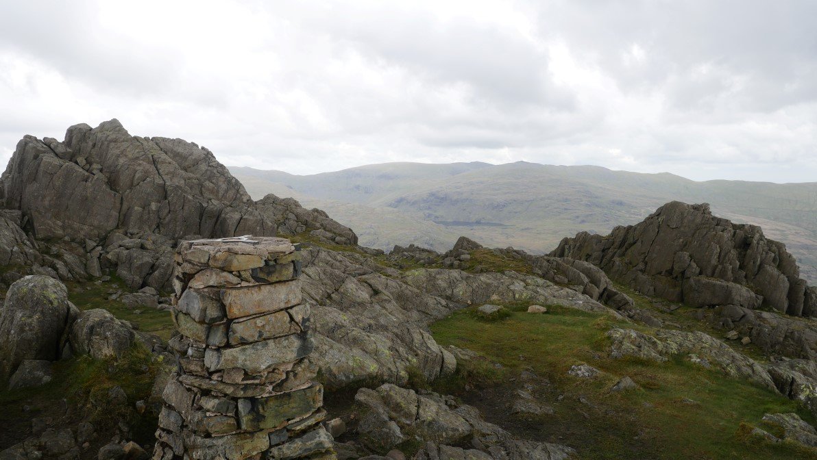
On to Harter Fell now.
From where there is a great view of the highest ground in England.
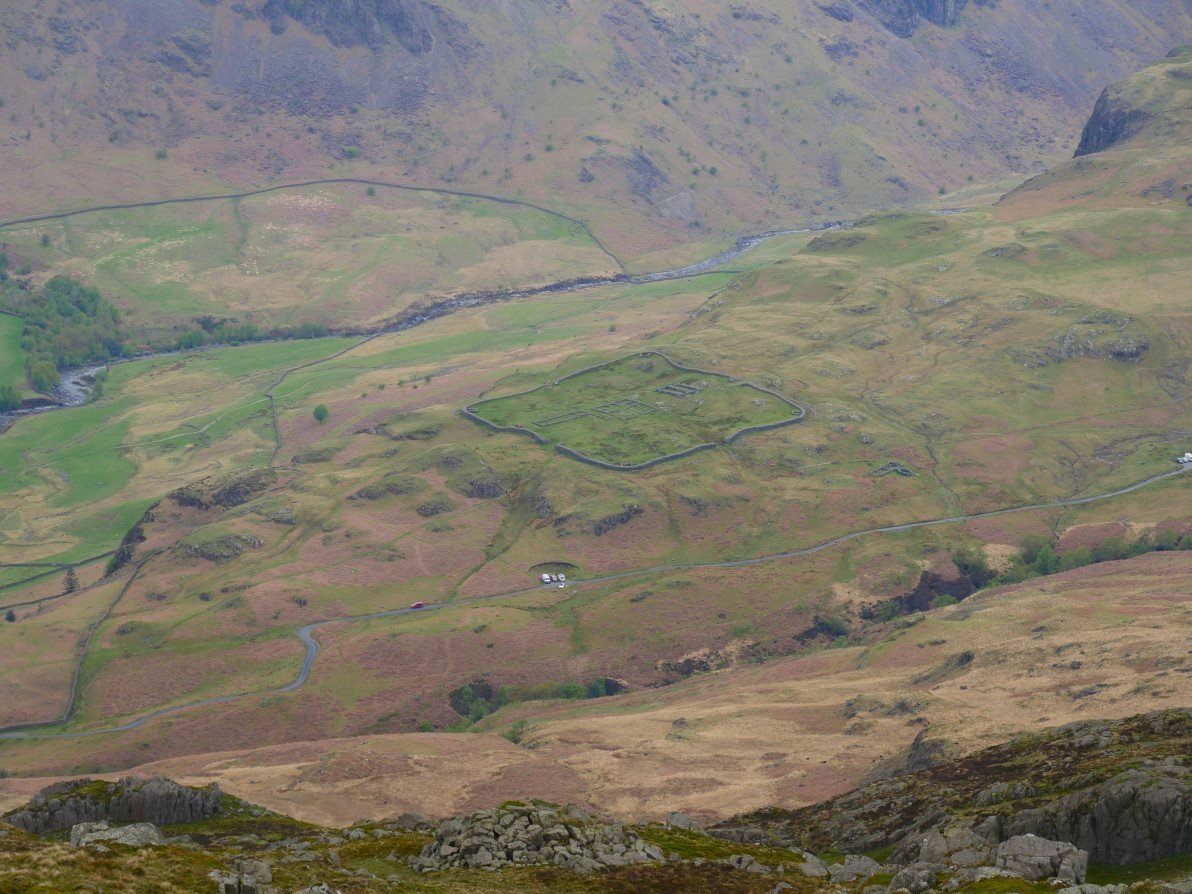
And a great view down to Hardknott Roman fort..
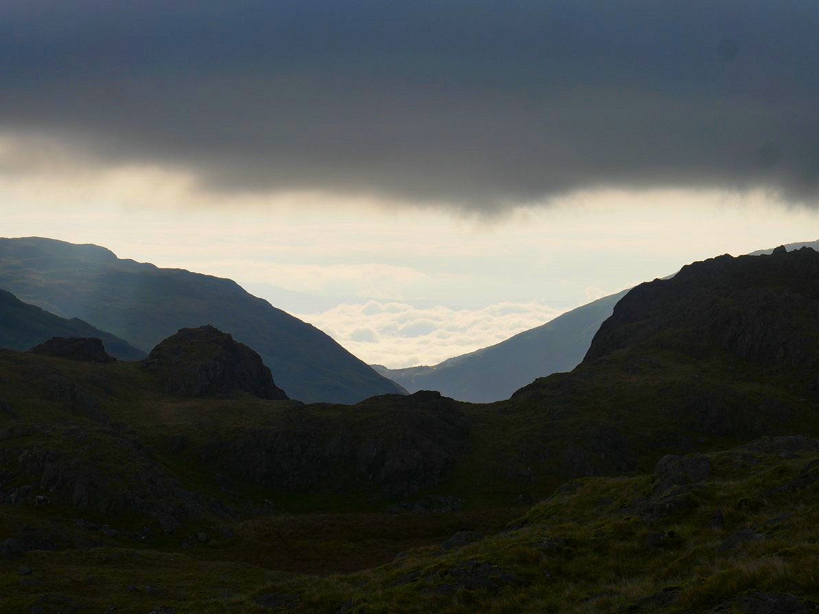
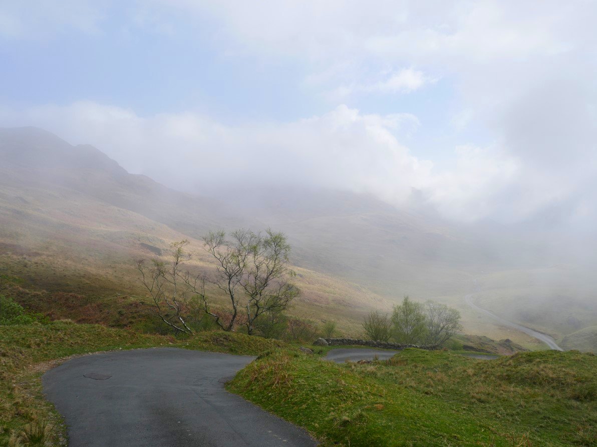
The drop down from Harter to the road and then the Border End/Hardknott duo is not on my favourite list of descents as it's very wet and seems full of ankle breaking holes.
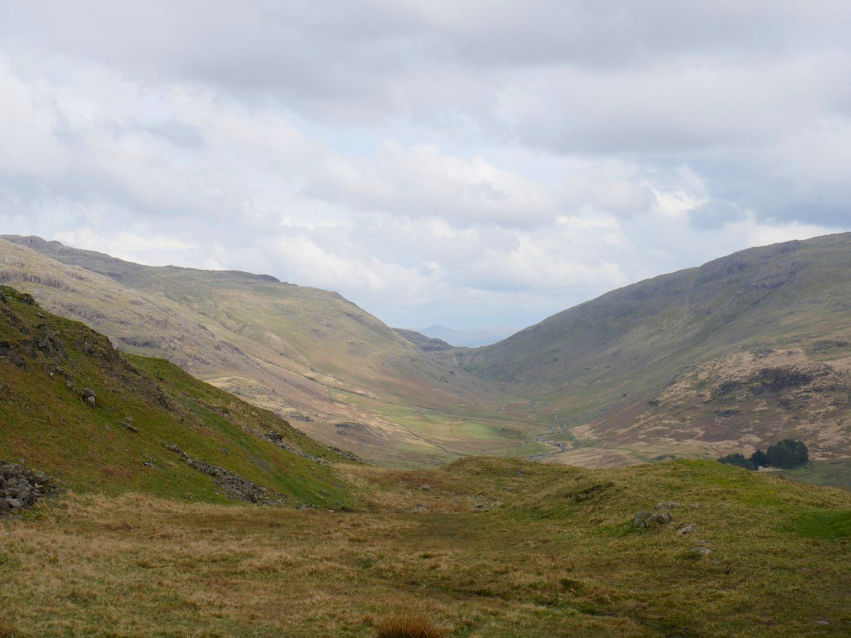
The view along Wrynose bottom to the pass.
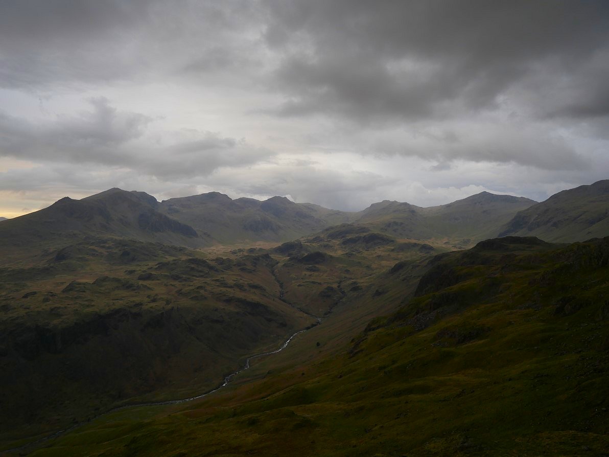
The sun had been flitting in and out all day and on this occasion I just captured the nice light on upper Eskdale but Scafell, the Pike and Ill Crag look very somber..
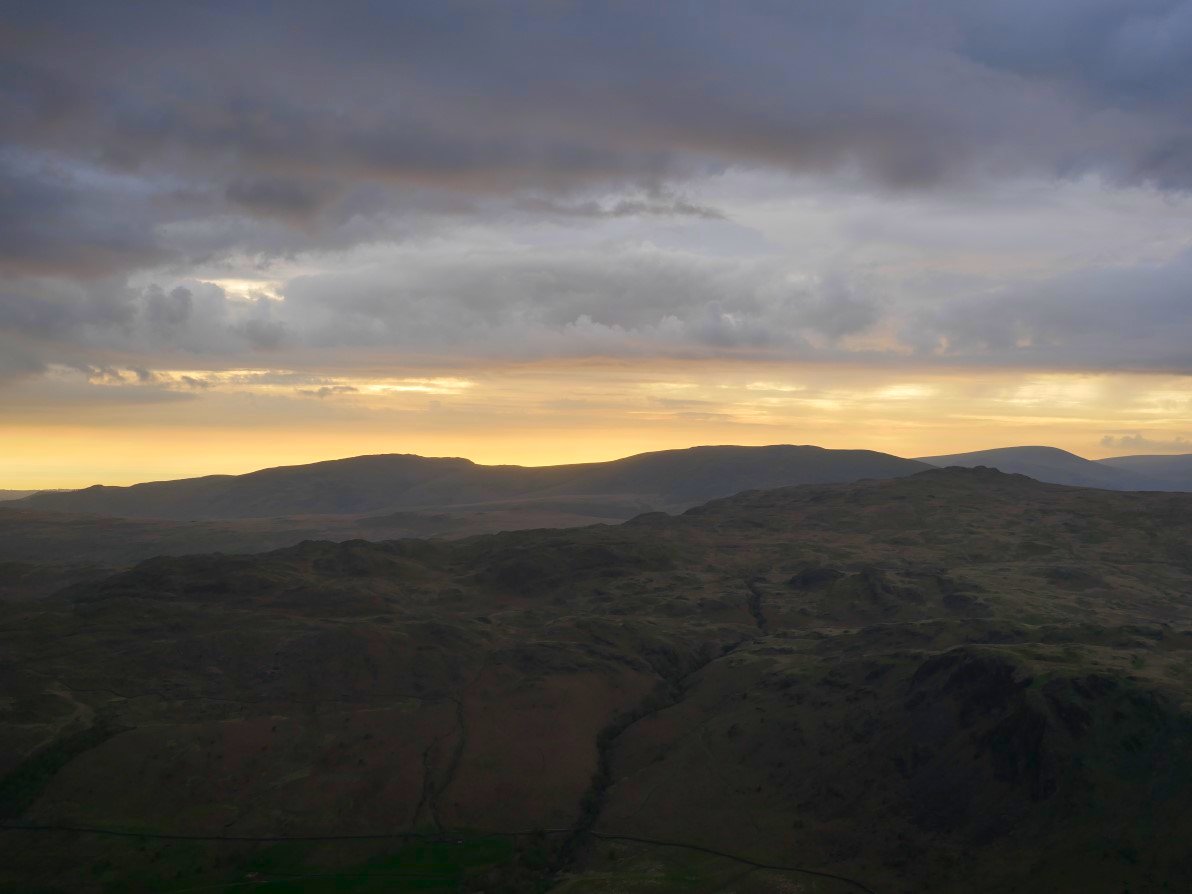
Not a full blown sunset tonight just a bit of a glow behind Whin Rigg, Illgill Head and Seatallen.
If this view from Border End is not my favourite Lake district view then it's very close to it. Especially as the skies have darkened and it started to rain..
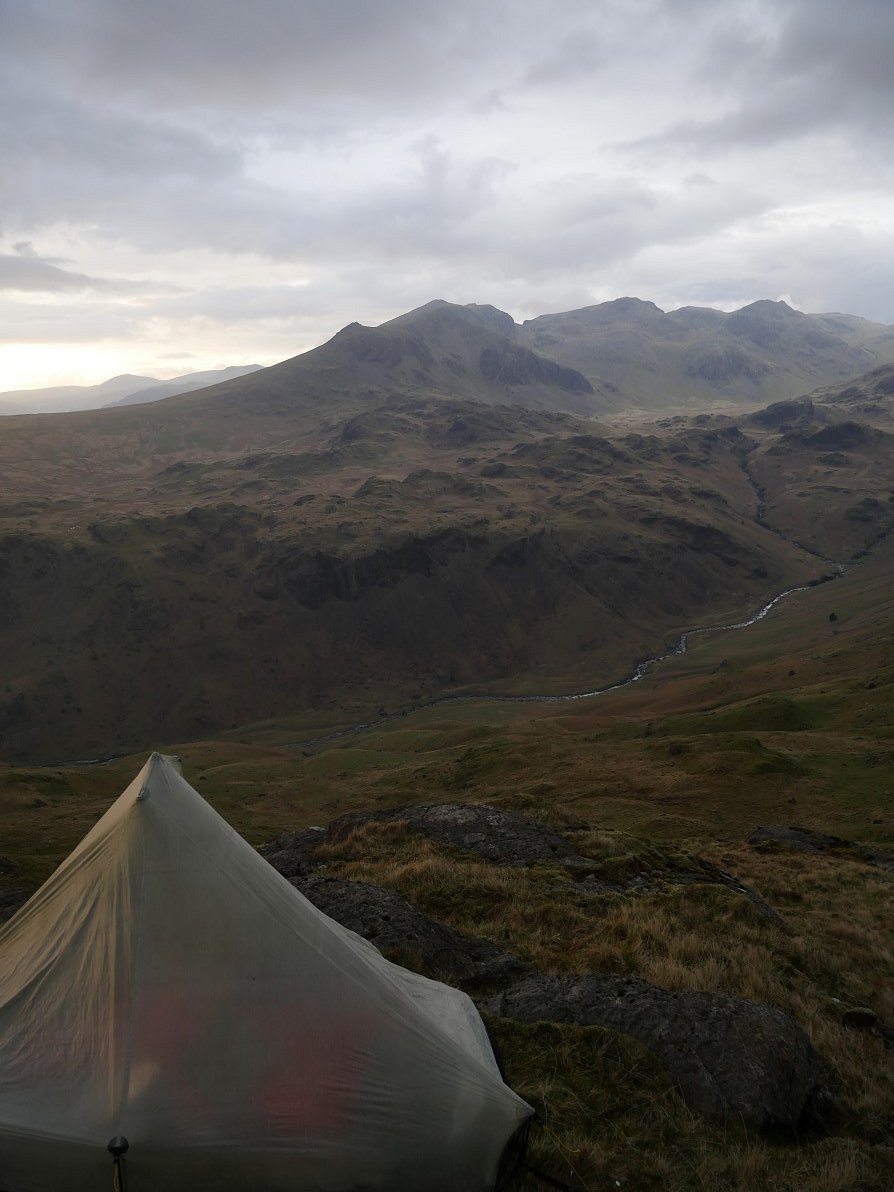
Time to retreat to the tent, although it only rained for about an hour and as far as I know stayed dry all night.
A lovely bright morning out to the west.
Although the view to the east was very confused with bright skies and fluffy clouds through the Wrynose Pass gap but more threatening clouds nearer to me.
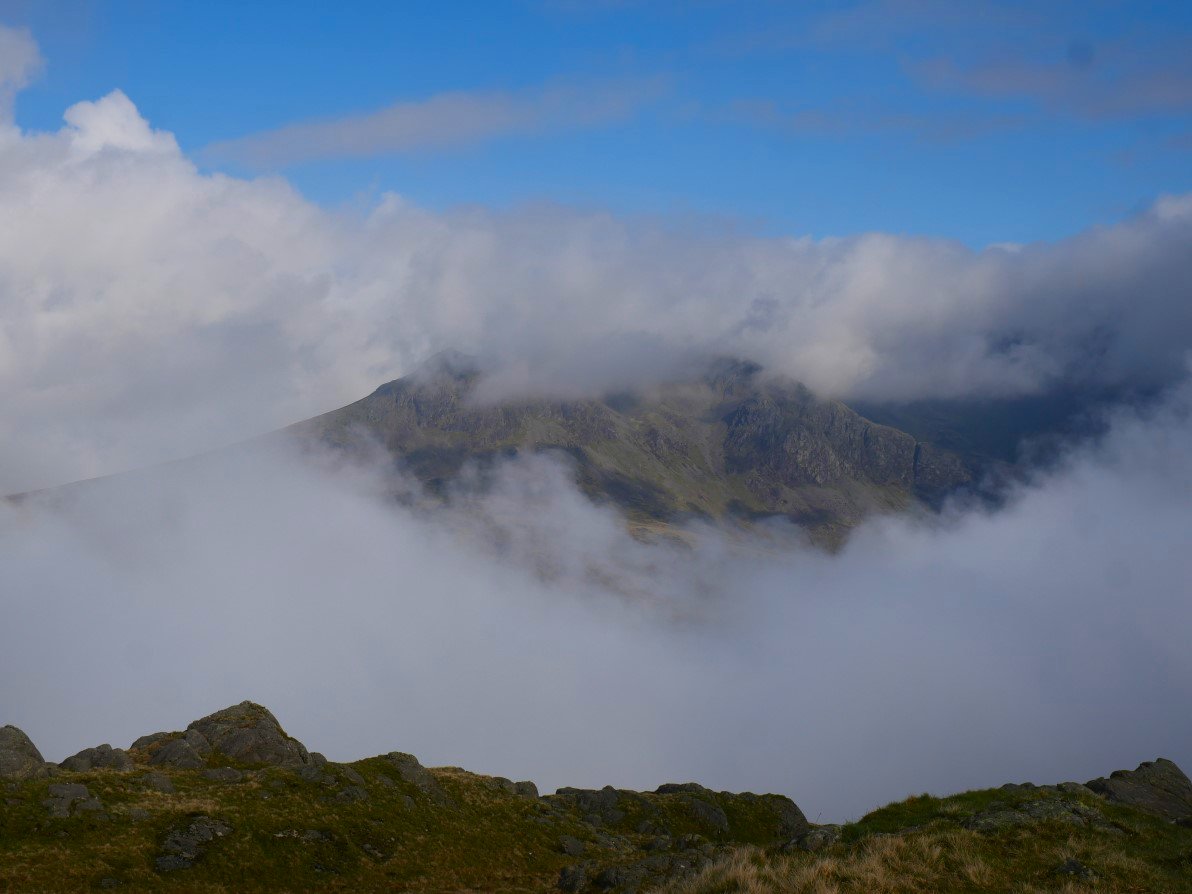
It's bright over the Scafell group but the tops have disappeared.
By the time I'd packed up and made the short trip to Hard Knott the clouds were rising up from the valley and rotating around the Great Moss.
The constant changing sky was lovely to see and I sat for quite a while looking over to the Scafell group.
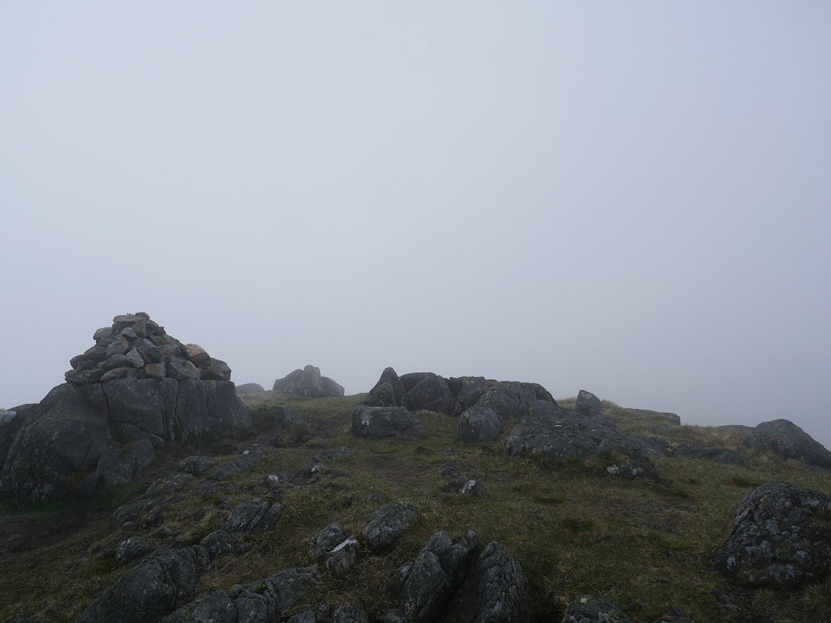
When I turned around the cloud had descended to the top of Hard Knott and that was that as far as views were concerned.
I had to walk quite a way down the Hard Knott pass road before they returned, and even then the Wrynose valley is very faint.
I left the road and walked through Black Hall and followed the path down by the Duddon.
Passing Castle How.
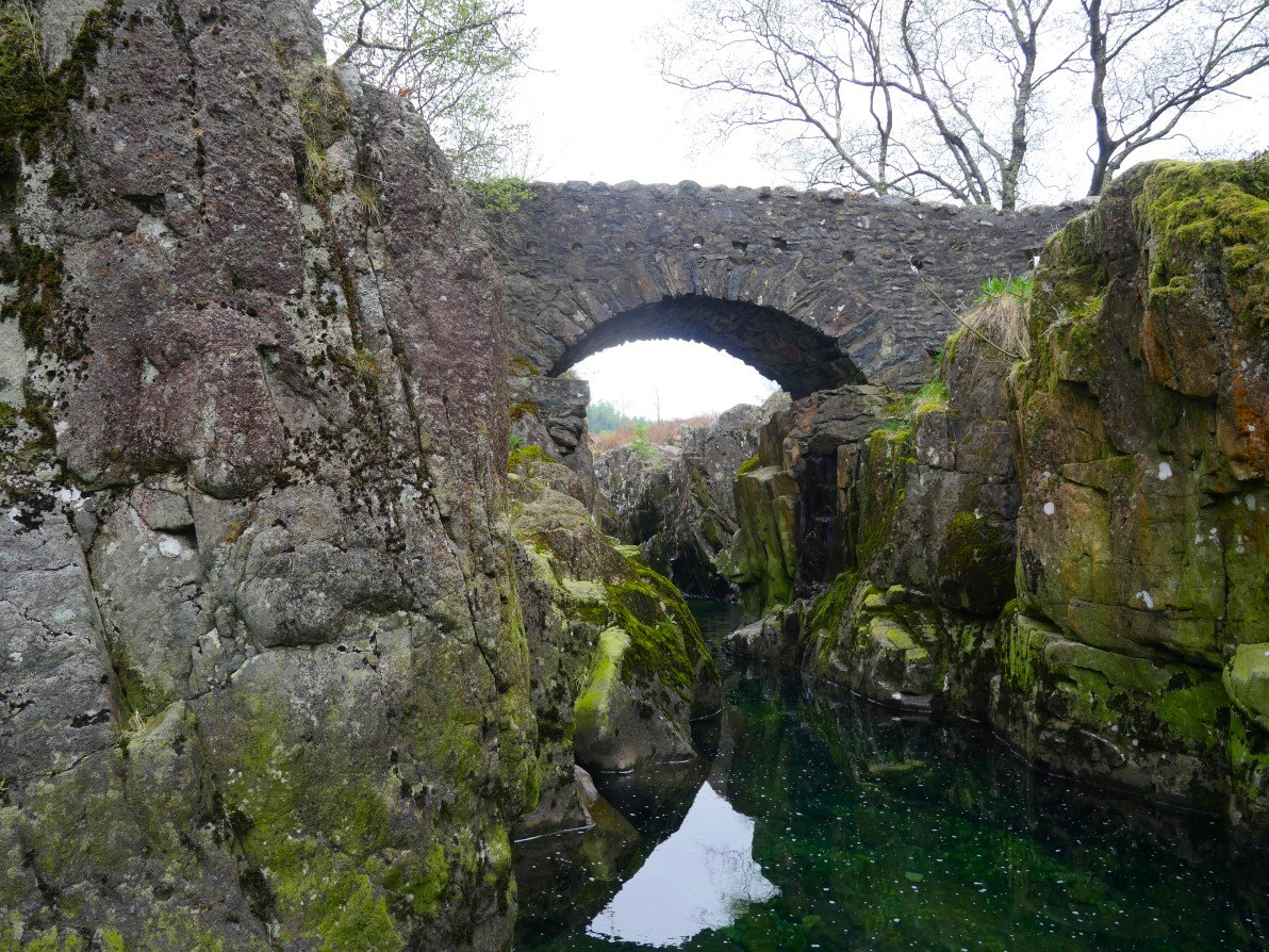
Birks Bridge. From here I tried to follow the Duddon to see if there was a way to the bridge at Troutal.
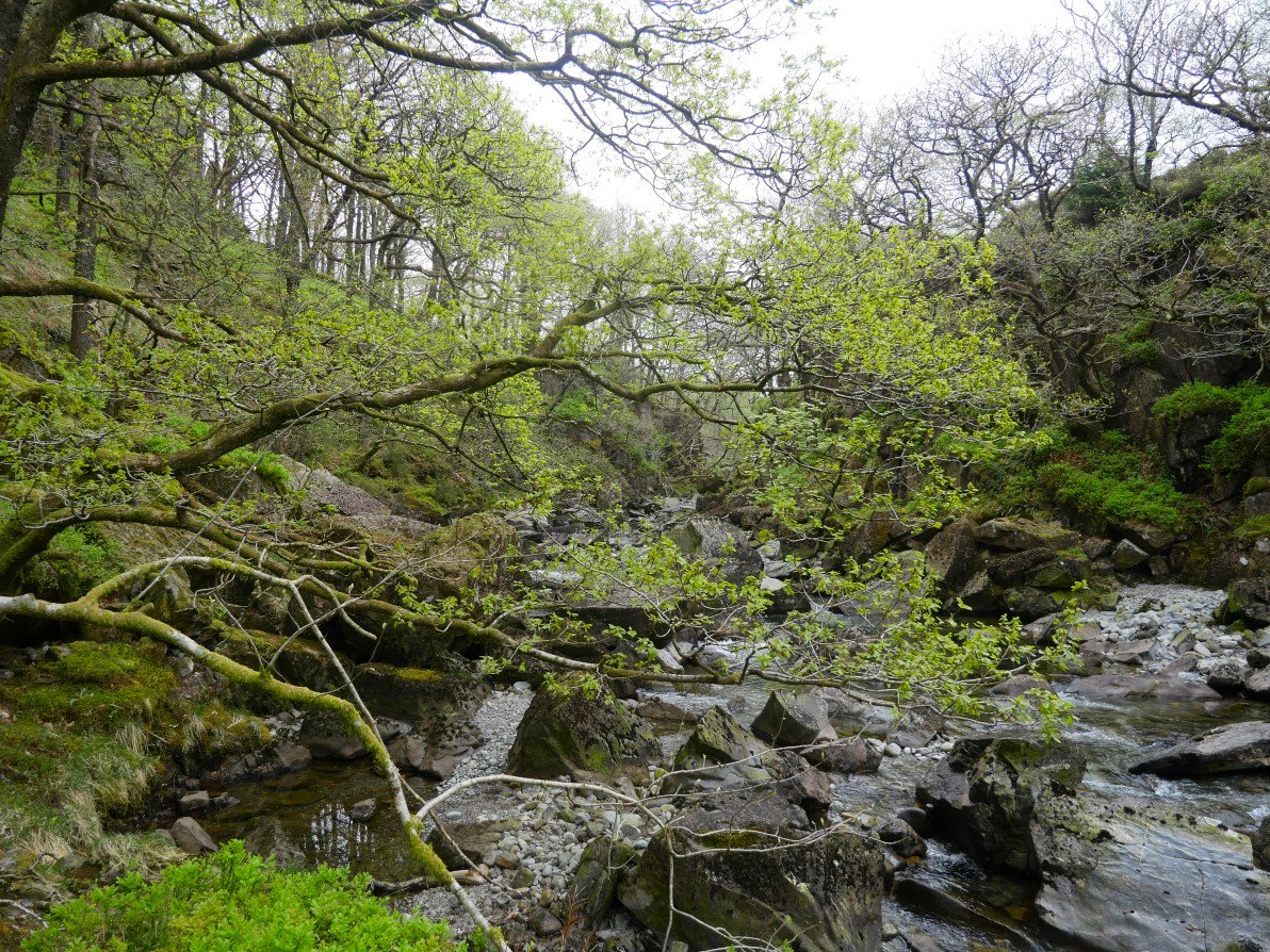
Which involved a lot of bushwhacking and scrambling over rocks.
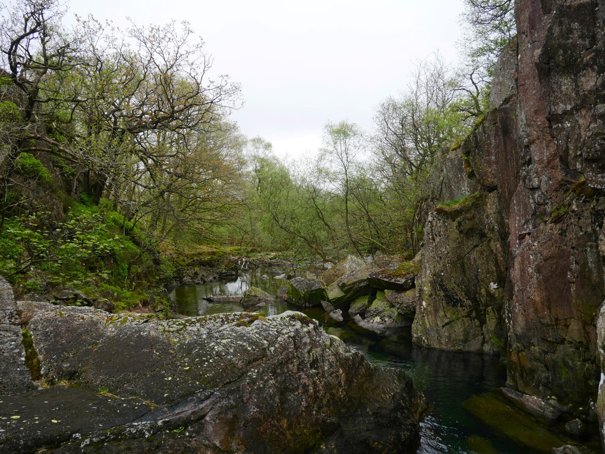
Until I was finally defeated by this narrow gorge so I had to ( with a bit of difficulty and wet feet ) cross the river and scramble up the bank to the road.
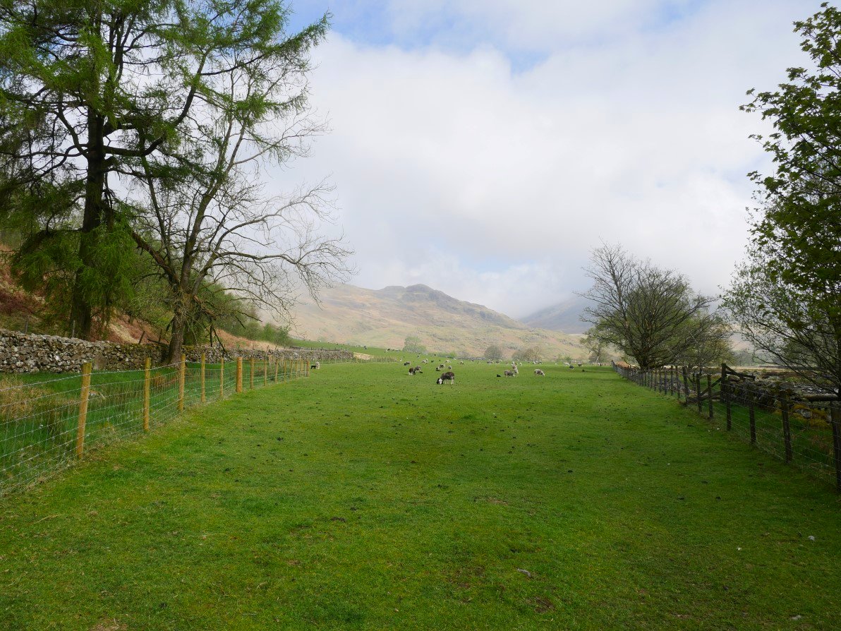
I left the road and took the paths through the valley bottom and up the fields to reach the minor road at the start of the Walna Scar track.
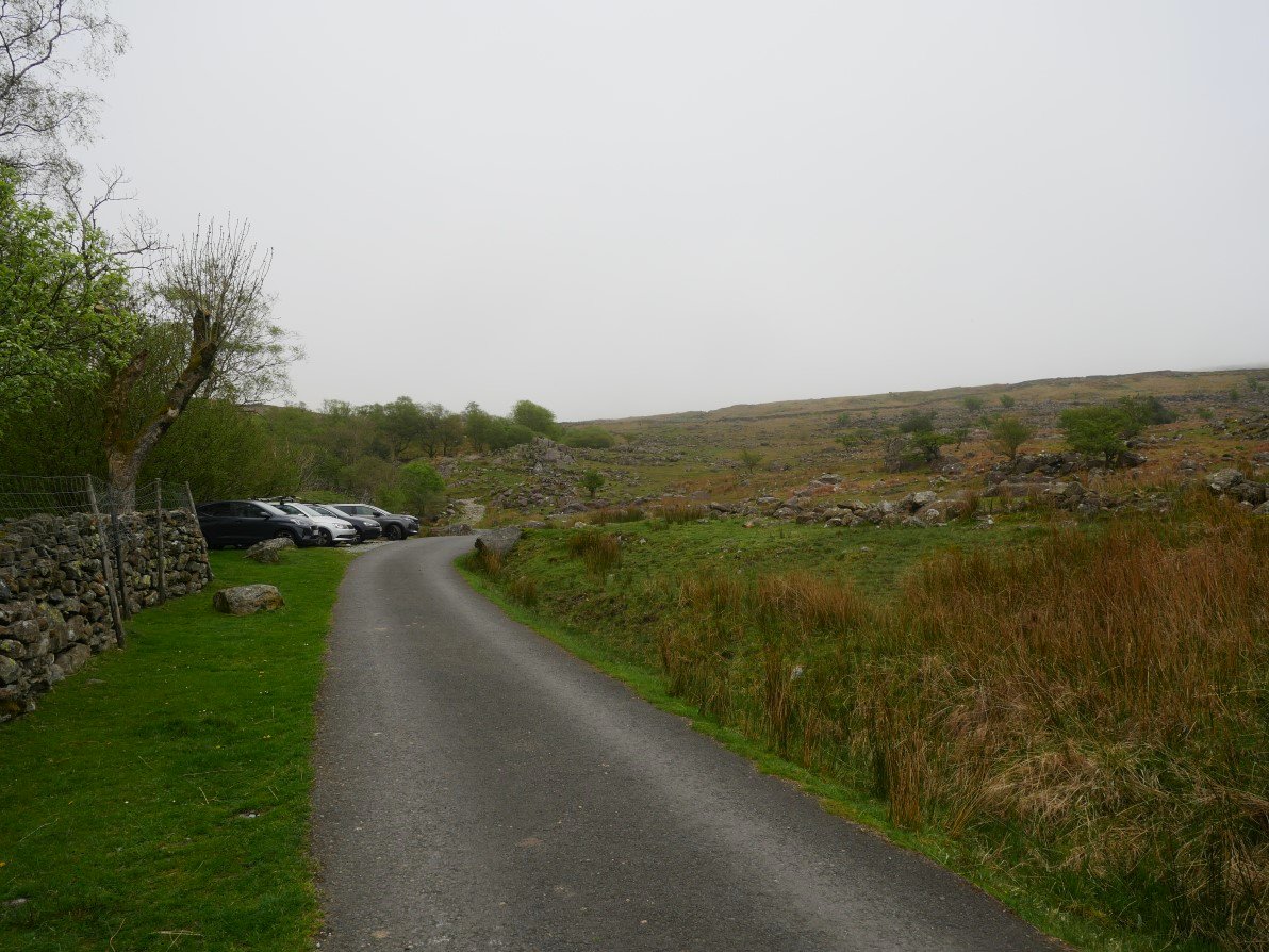
And the car parking spaces. The Newfield Inn was open and serving food so I treated myself to a second breakfast.
Previous walk - Pike o' Blisco and Cold Pike - Next walk - 3 days at Ennerdale YH