WWW.KARLSWALKS.CO.UK
PICTURES AND TRIP REPORTS FROM MY WALKS IN THE ENGLISH LAKE DISTRICT
|
|
|
|
||||
|
|
|
|
|
|
|
|
E-mail - karl@karlswalks.co.uk |
Sue and I had booked a long weekend camping in the grounds of Eskdale youth hostel. The weather was forecast to be mixed but we had three days of sometimes dull but dry weather and only got wet on the morning we were to return home.

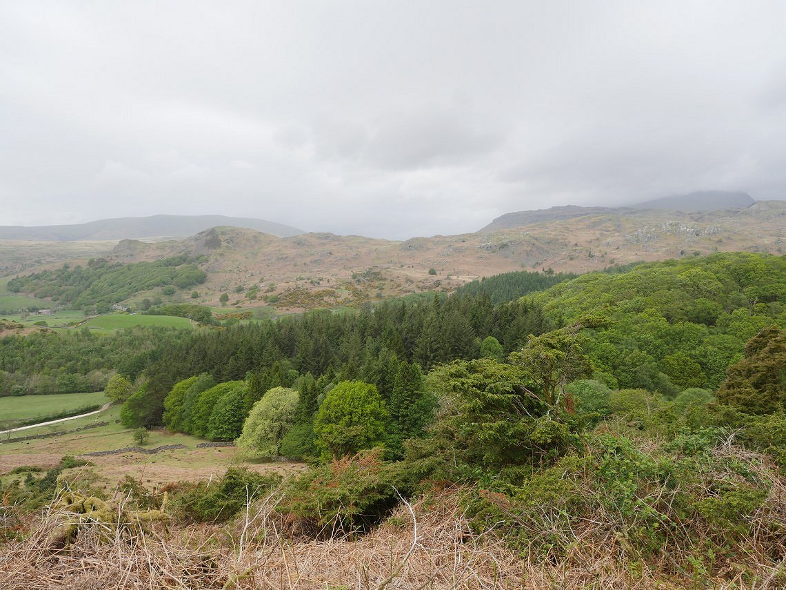
Arriving at Eskdale in the early afternoon we left the car at the hostel and walked down the road to Doctor Bridge then followed the track leading past Low Birker and took the old peat road up on to the fell.The higher fells were covered but there was a bit of a view over the lower hills behind the hostel.
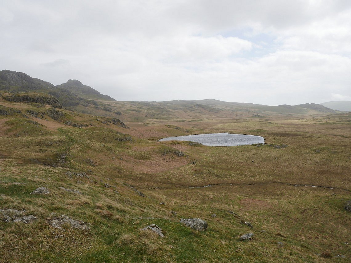
Once on to the tops Low Birker Tarn comes into sight and Green Crag our target for today appears. The path winds it's way across the hillside so it always seem to take longer to reach Green Crag than you think it should..
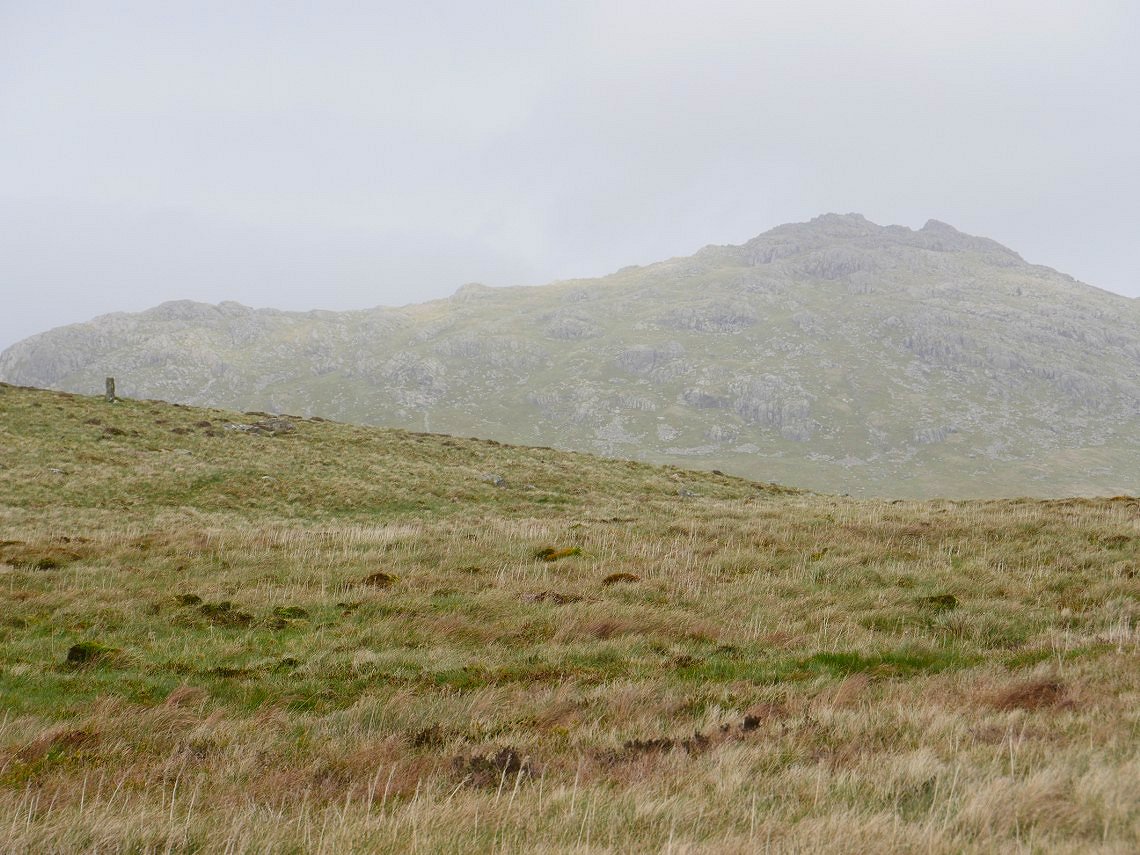
Eventually we reach the saddle between Crook Crag and Green Crag. The BS on the map is the boundary stone seen on the left with Harter Fell beyond that.
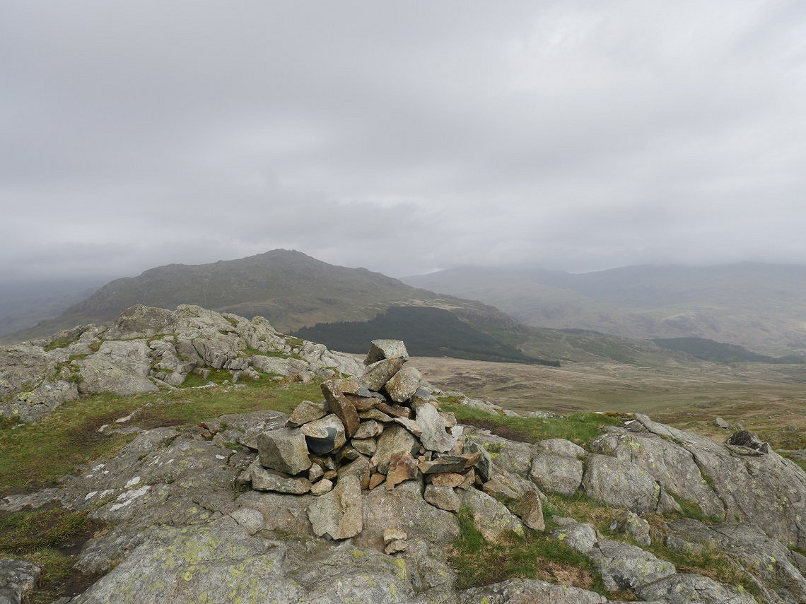
A bit of a dull view over to Harter from the top of Green Crag but dry and not windy so we'll take that.
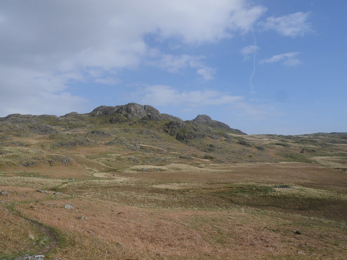
Although no sooner had we started our return journey out comes the sun and the skies clear.
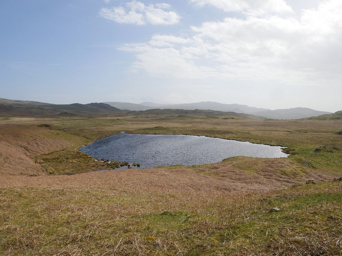
Low Birker Tarn looking a lot brighter than a couple of hours before.
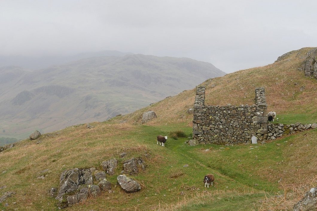
descending on the peat road and the high fells are still troubled by low cloud.
.
Another murky morning as we made our way from the hostel along the terrace path. Up to now it's been a pleasant wander through the hollows and around the knolls of Cat Cove but now Slight Side is ahead and work starts in earnest.
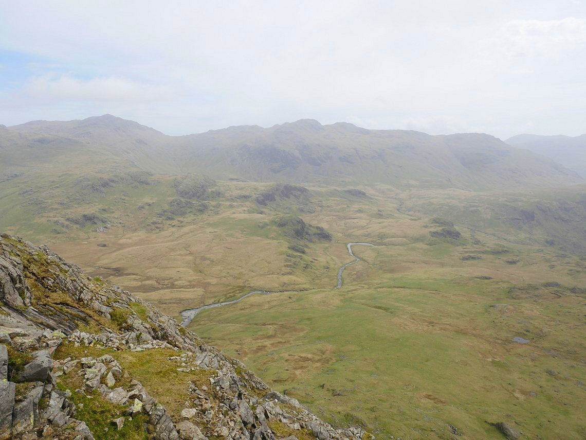
It's a pretty relentless climb on grass at first and then on a scree path but as usually happens by putting one foot in front of the other we eventually reach the top. Getting a nice view down to the river Esk, Bowfell and Crinkle crags as a reward..
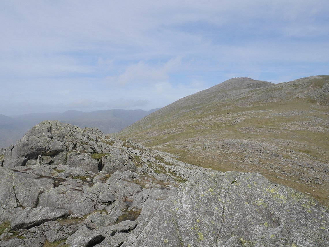
From Slight Side it's another steady pull to reach Scafell. We were pleased to see that just like yesterday the day was brightening up.
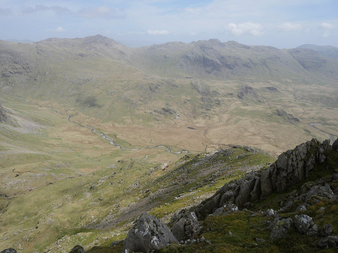
Another look down to the Esk and the Great Moss from Long Green. This is the Cam Spout ridge that I climbed last year. Whilst taking this photo I got talking to a chap who was just about to descend, he was looking for the wreckage of a plane that crashed here in the second world war.
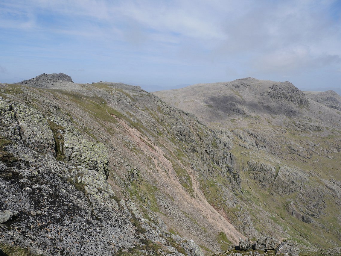
Although not obvious in this photo Scafell Pike ( seen here across to the right ) was very busy with a steady line of people making for the top. The red scree slope below is the path to Scafell from Foxes Tarn.
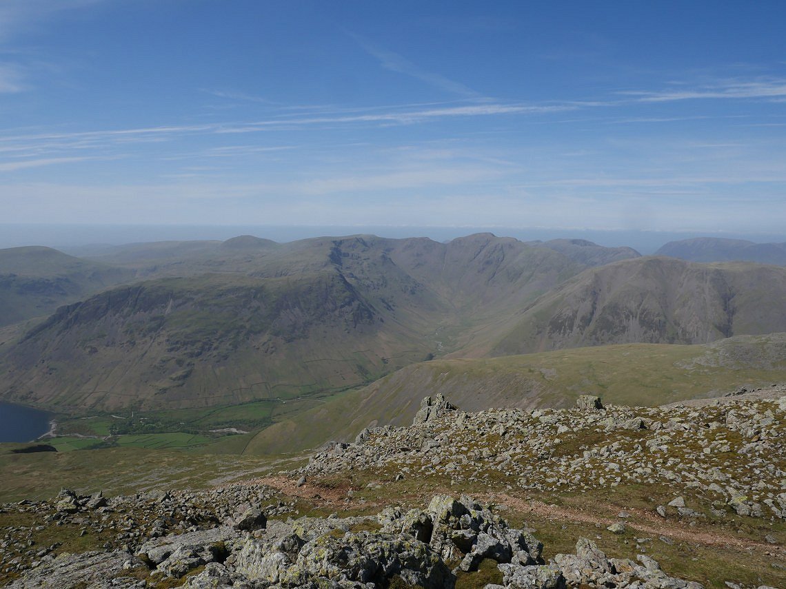
Wasdale Head and the fells of the Mosedale Horseshoe.
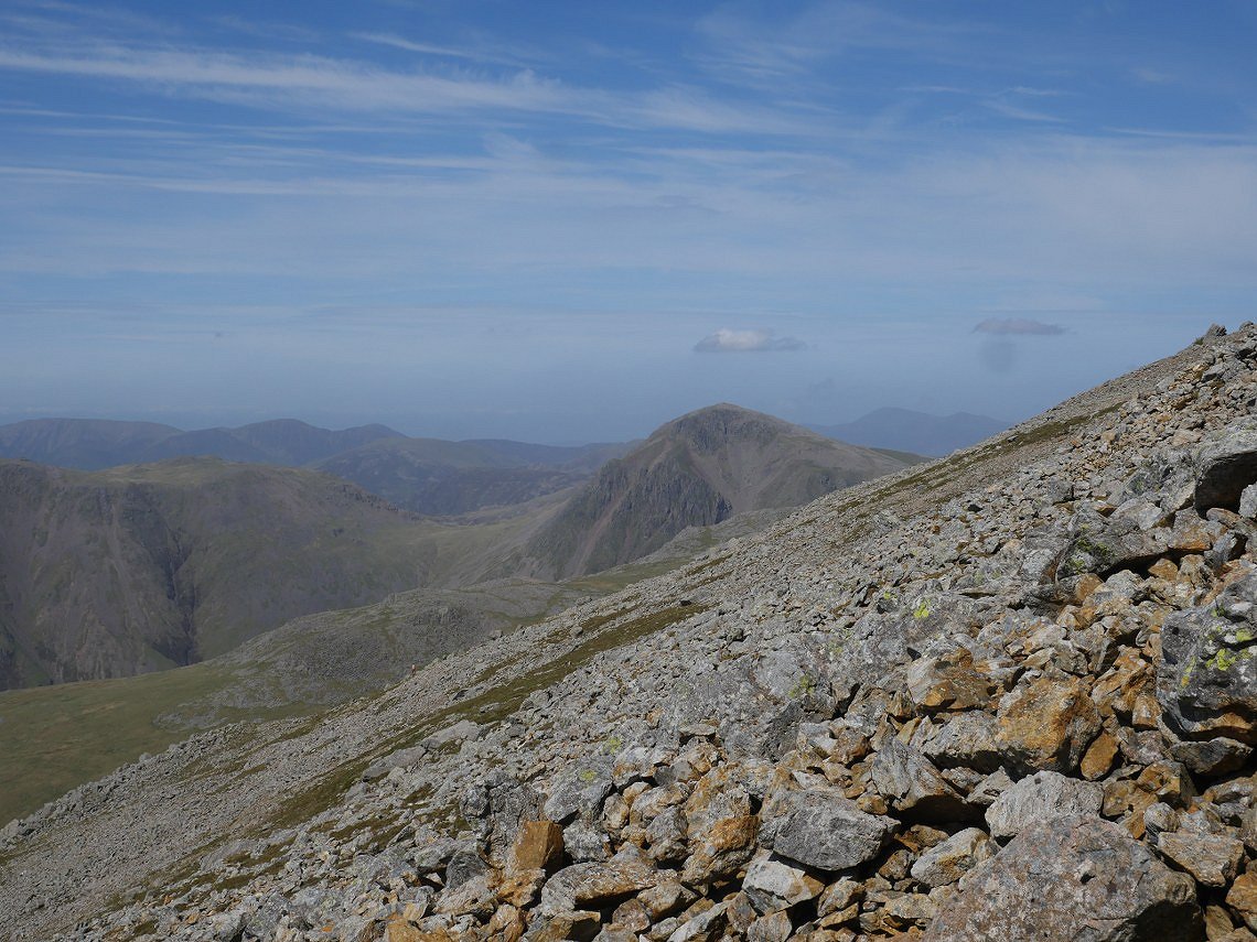
Great Gable seen from the steep and loose path down from Scafell.
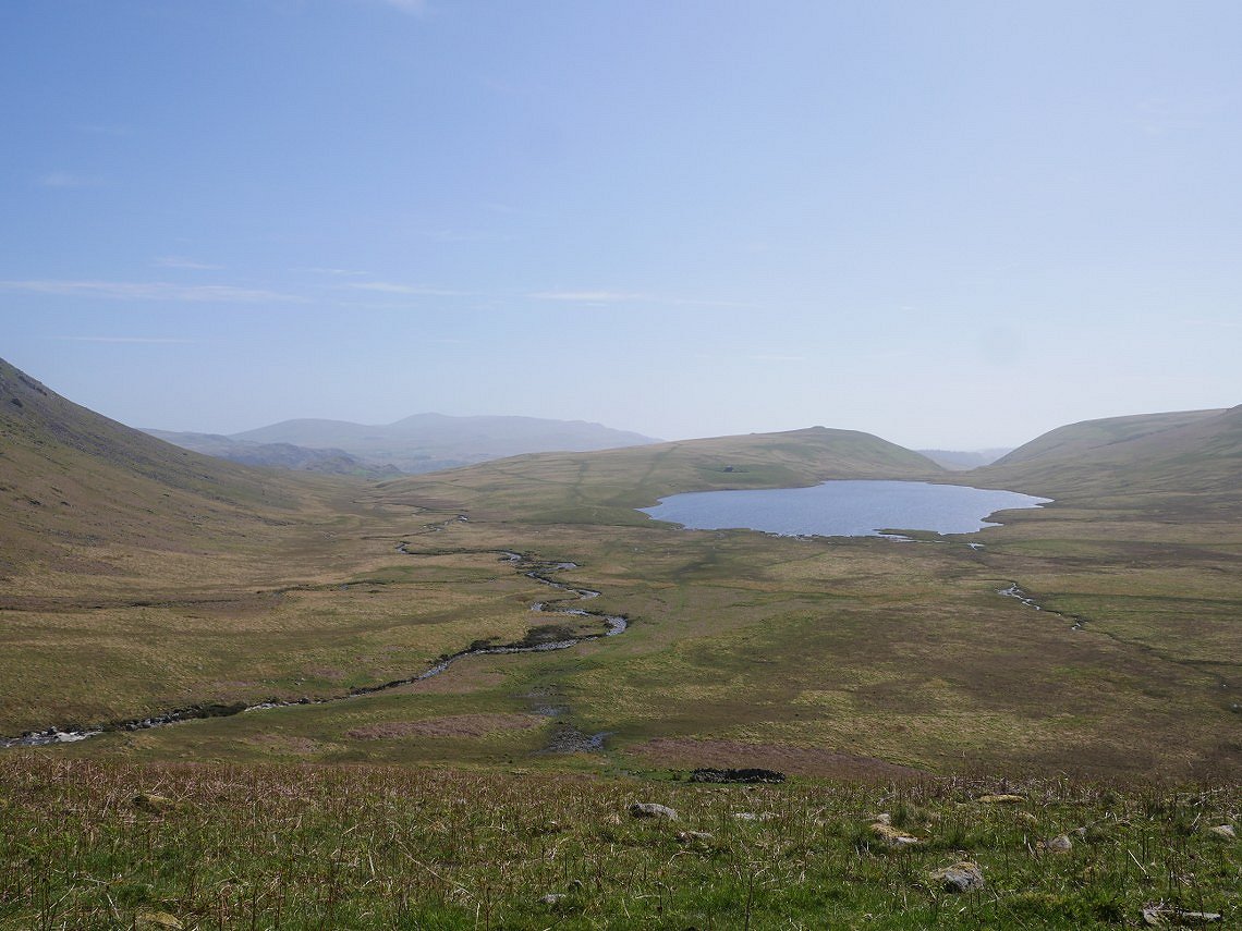
Eventually the scree gives way to nice soft grass underfoot. Here we are coming down Hard Rigg. Burnmoor Tarn ahead.
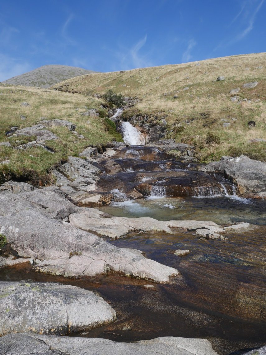
We had a walk over to Hardrigg Gill and spent a few minutes relaxing on the smooth white stones which had been warmed by the sun.
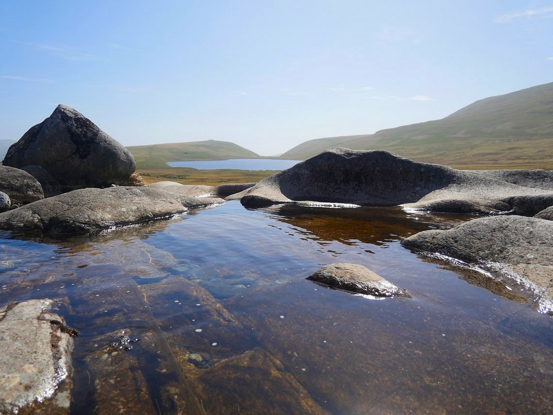
There are some little hollows in the rock in which the water was quite warm.
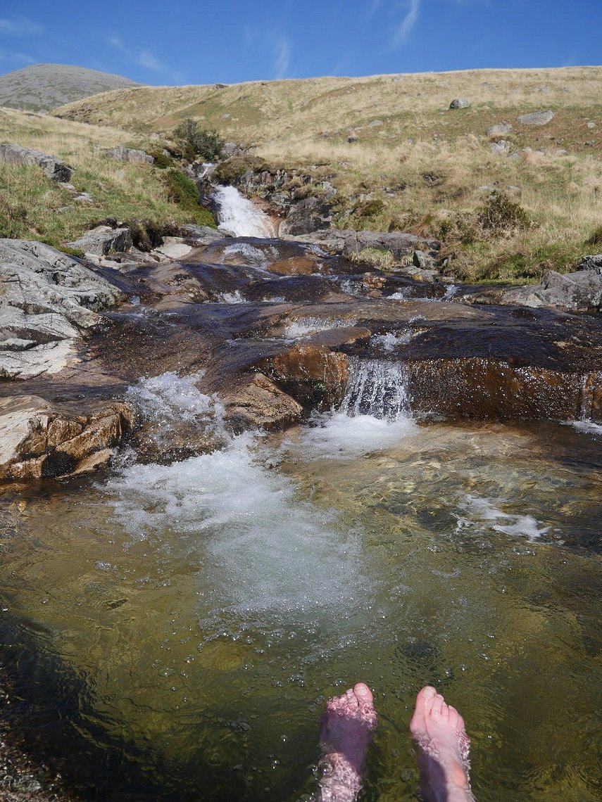
But the water coming straight down from Scafell was very cold, just right for cooling down hot feet.
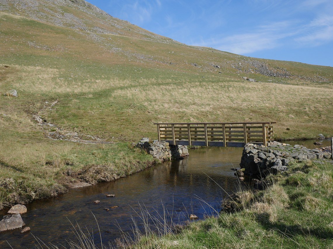
Lambford Bridge has been replaced with a shiny new one
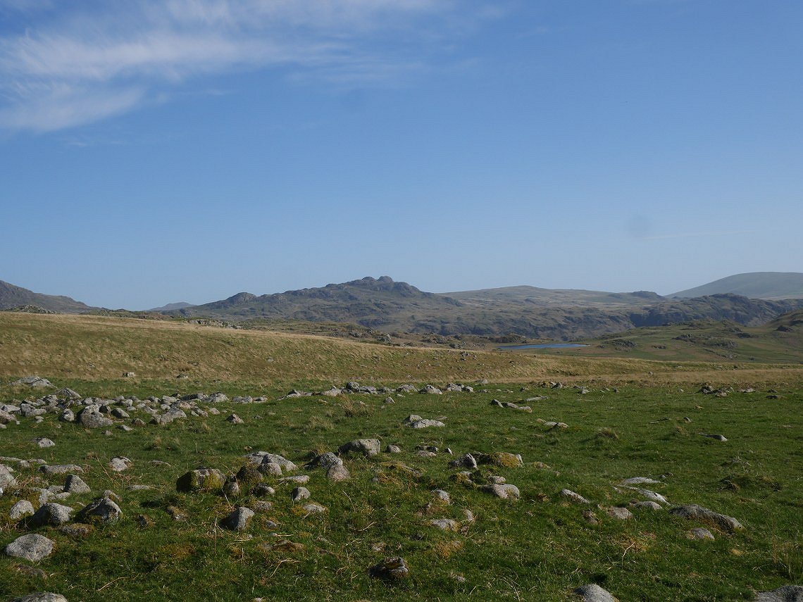
It's turned into a lovely afternoon now. We make our way across easy ground, heading for Eel Tarn. The Green Crag fells above to the left.
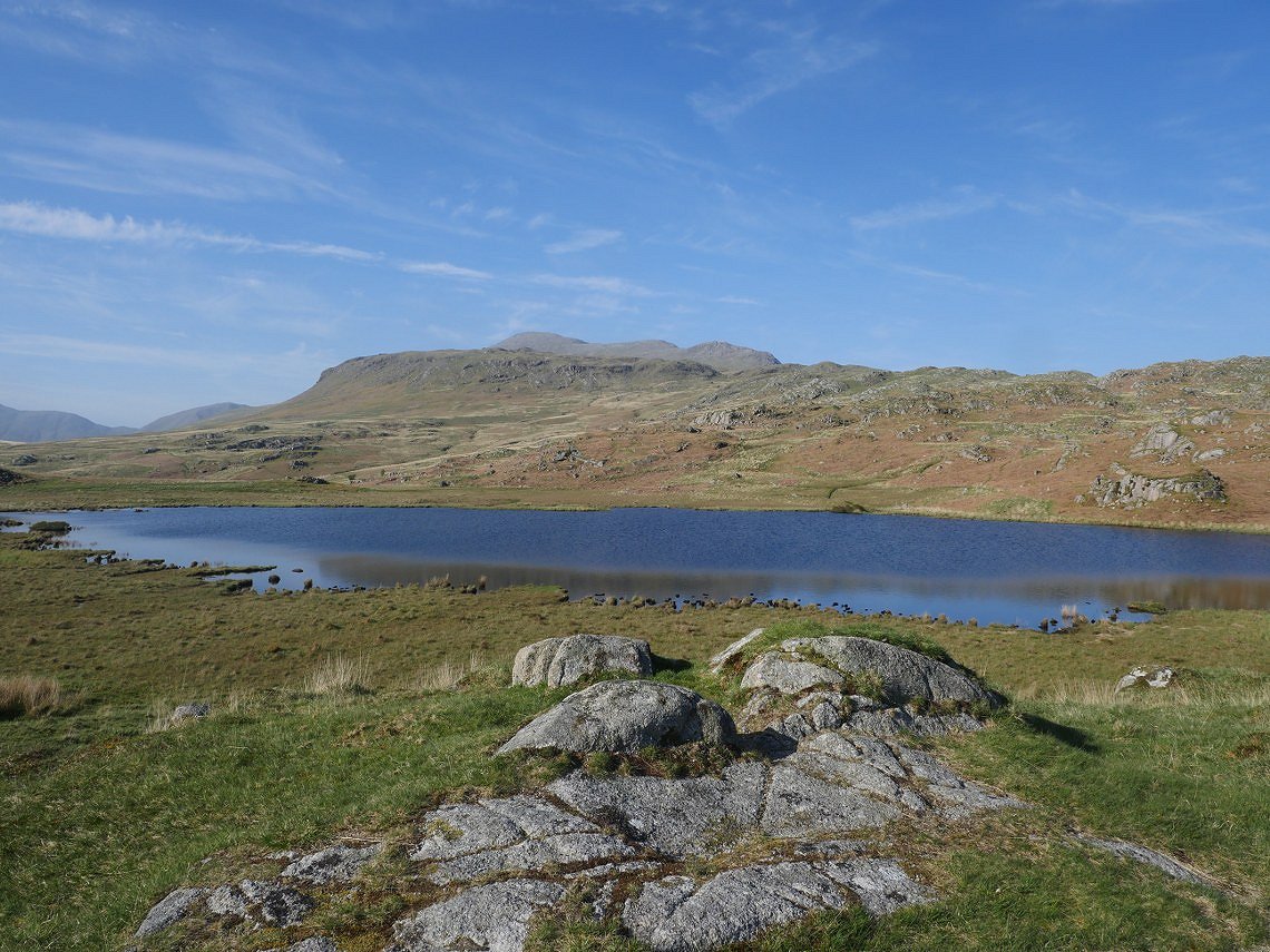
Eel Tarn with Eskdale Fell and Great How and beyond that Scafell.
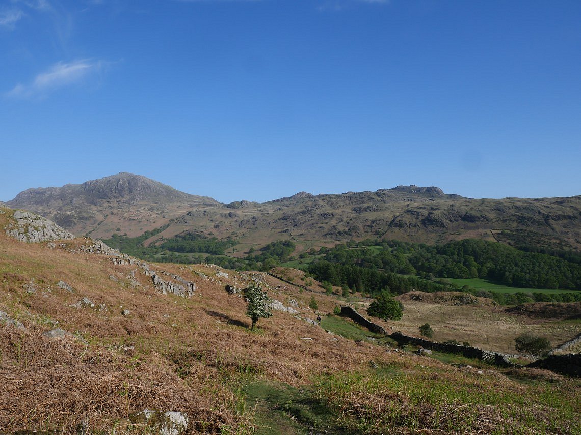
Harter Fell seen from the descent into Eskdale with only a short road walk to the hostel.
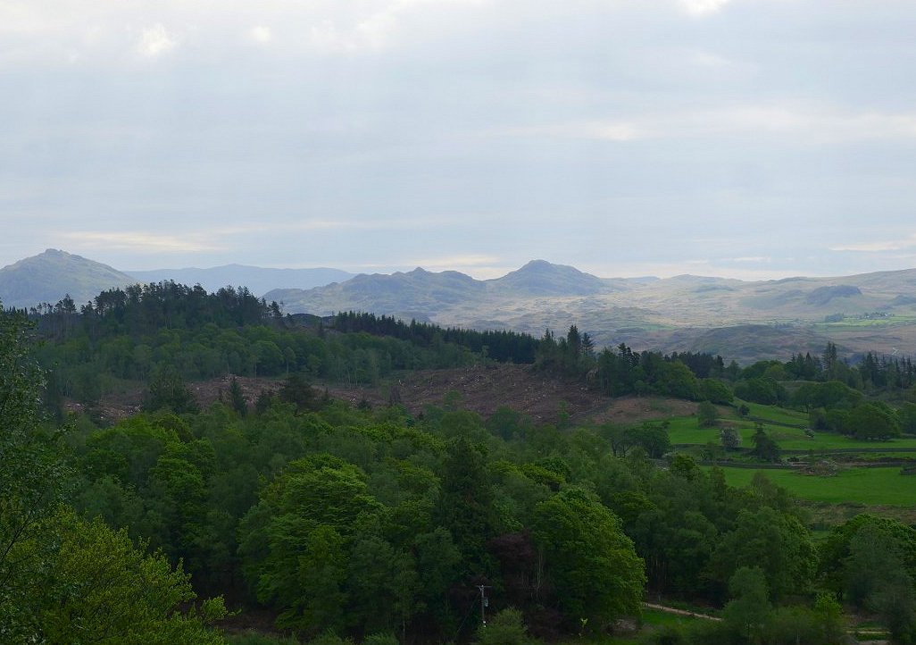
On Sunday morning we drove around to the small car parking place under Irton Pike. We were meeting April and Beefy for a walk up on to Whin Rigg and along the top of the Screes.to Illgill Head. This is looking across to Dunnerdale with the distinctive Stickle Pike to the right and the even more distinctive Caw to the left.
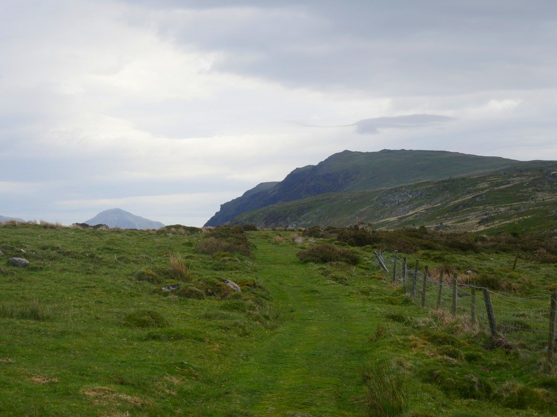
Whin Rigg ahead with Great Gable popping up on the left.
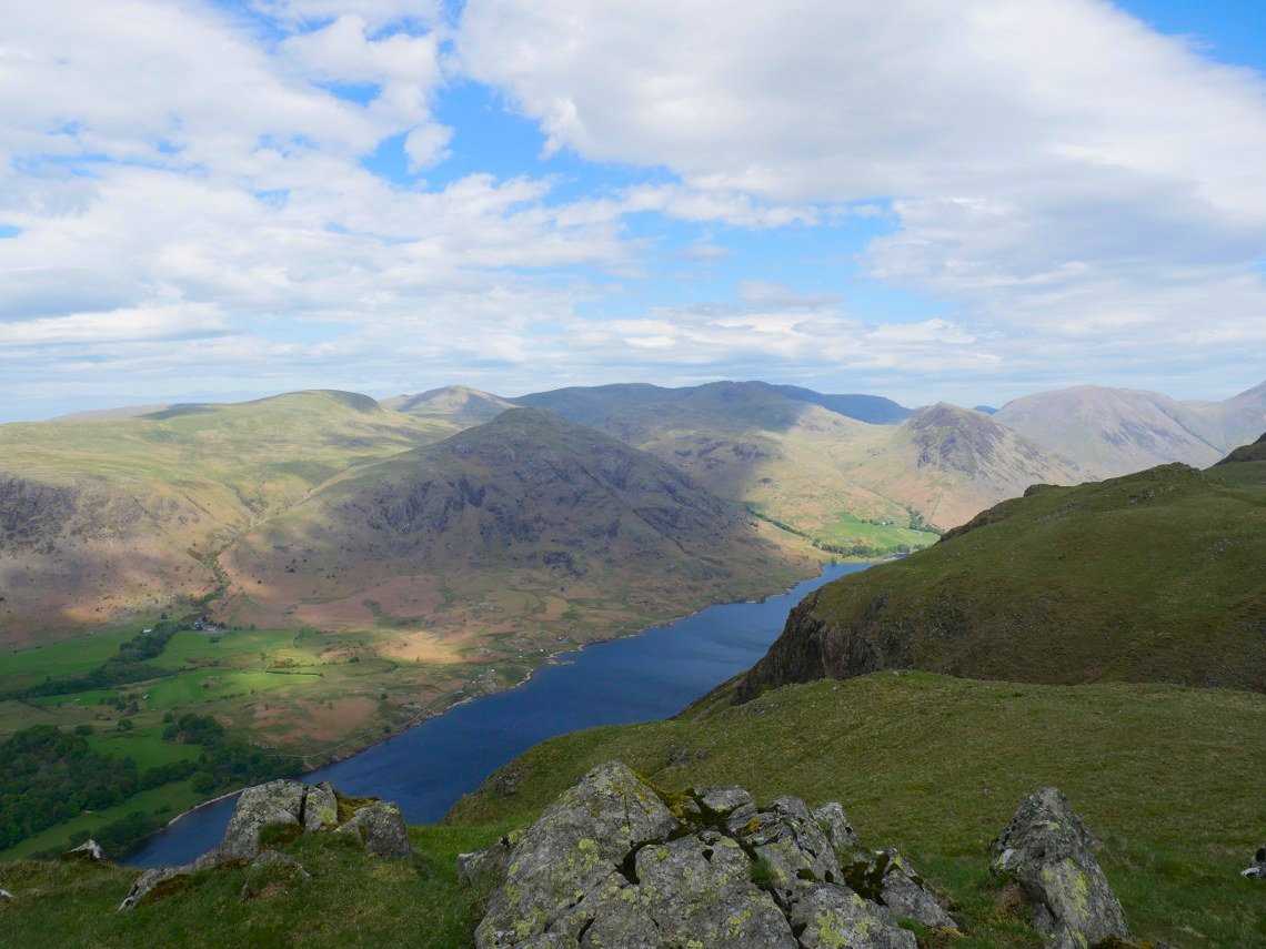
Lovely clear air for the view down to Wastwater and the fells around it from Whin Rigg.
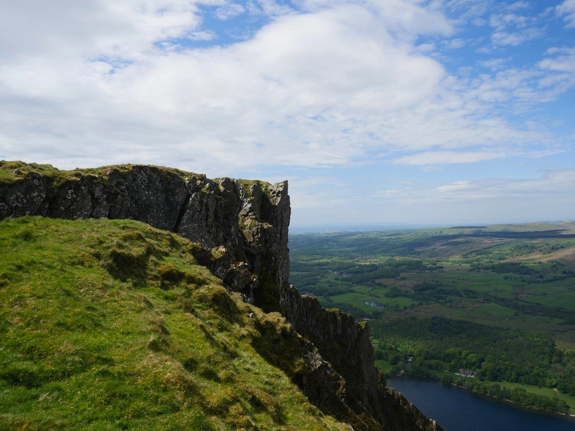
The wind was gusting quite strongly so we couldn't go out to all the viewpoints above the lake so I took a photo instead.
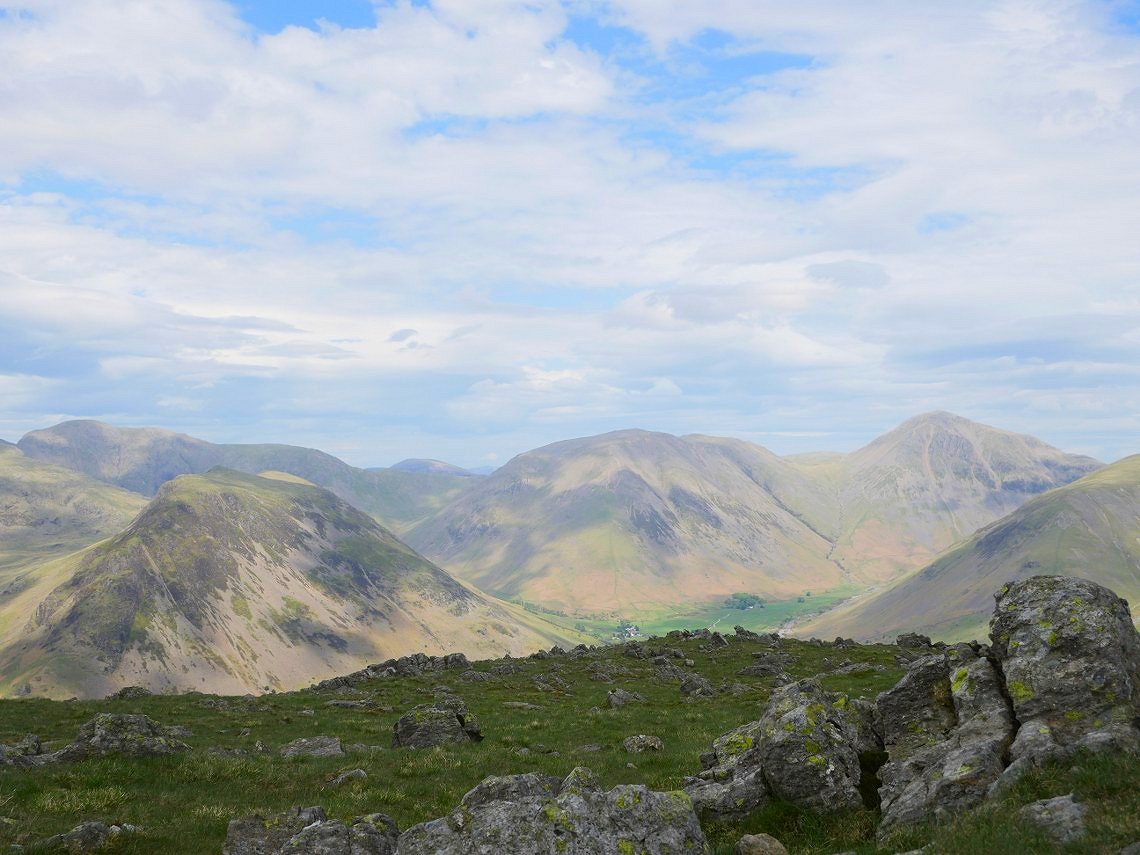
On to Illgill Head now looking to the giants of Wasdale. Yewbarrow, Kirk Fell and Great Gable towering above Wasdale Head with the lower slopes of Lingmell to the right. Pillar is the big fell in the left background.
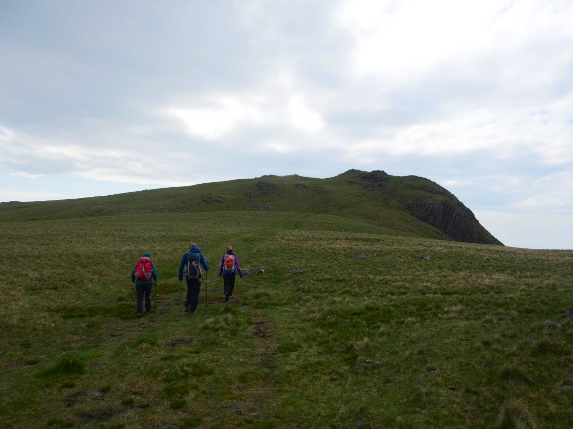
We retraced our steps and are just about to climb Whin Rigg from the saddle between the two fells.
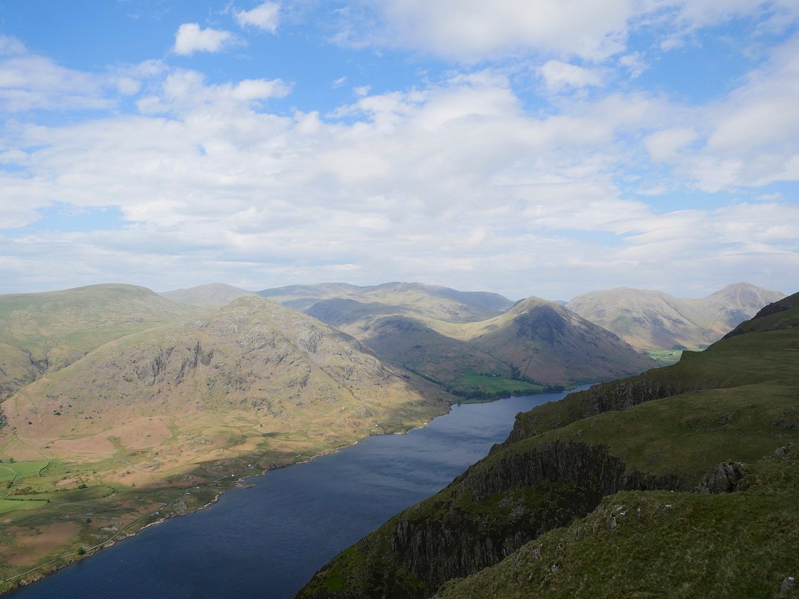
With one last look back as we leave Whin Rigg. It was lovely to meet up with April and Beefy, especially for Sue as she has not seen them since well before lockdown.
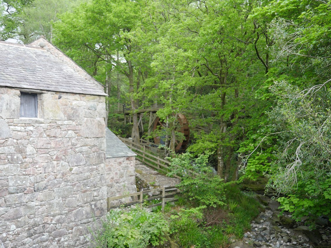
Monday morning brought dull skies and threatened rain. We were heading home around lunchtime so had a short walk to visit Blea Tarn which I've been meaning to do for about ten years ! This is the waterwheel at Boot corn mill.
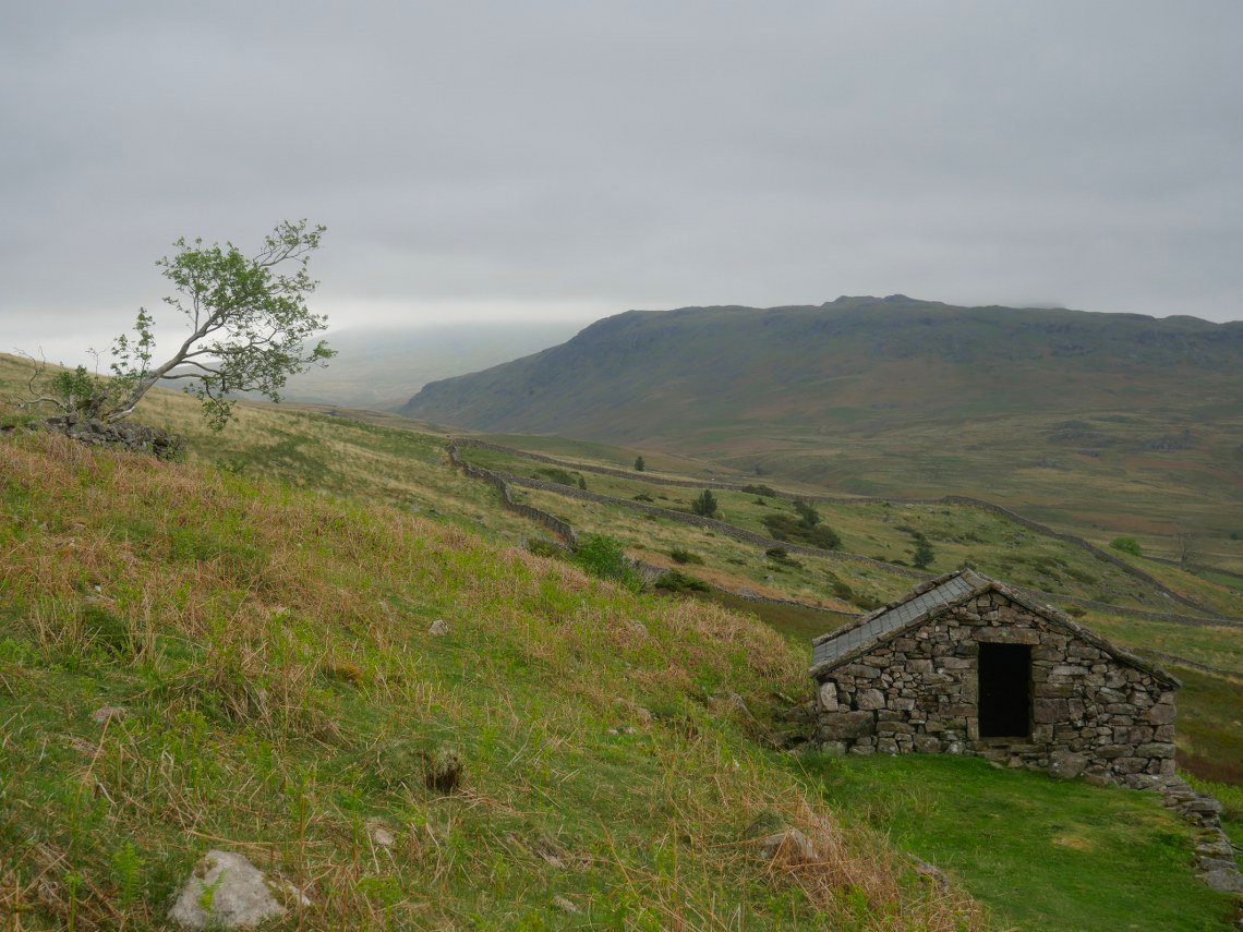
A view over to Eskdale Fell and Great How but no sign of Scafell today as we make our way up past the old peat huts onto the open fell.
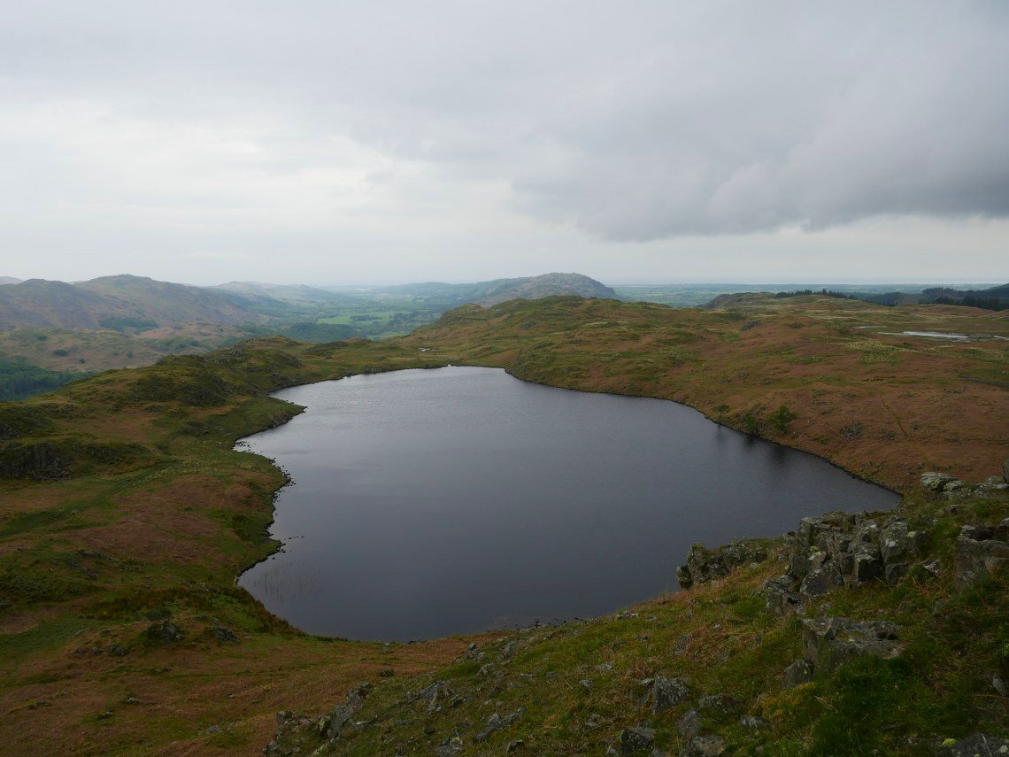
Looking down to Blea Tarn from Bleatarn Hill.
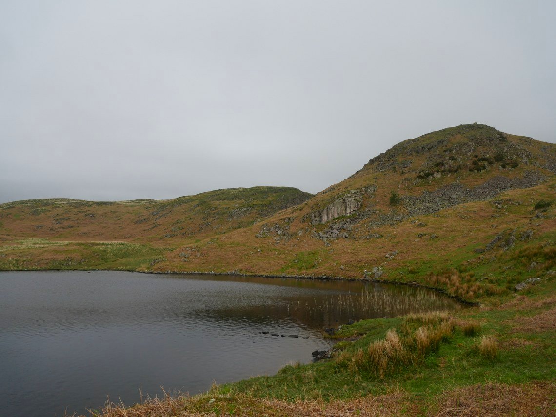
And Bleatarn Hill from Blea Tarn. It started to rain now so we made our way down the steep zig-zag path to Beckfoot.
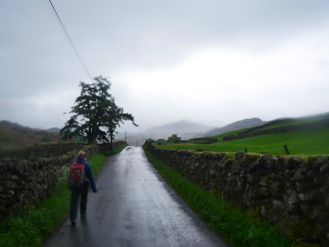
The rain has stopped now but it's low cloud all around..
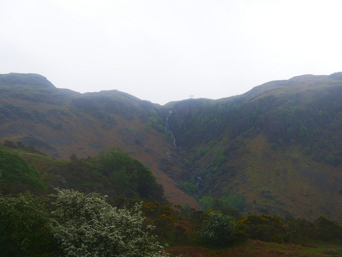
Birker Force across the valley.
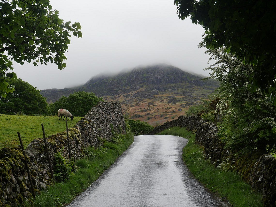
A misty Border End seen from just before we reach the hostel and make our way home after a lovely few days.
Previous walk Windermere to Steel Pike - Next walk - Skiddaw by Ullock Pike