WWW.KARLSWALKS.CO.UK
PICTURES AND TRIP REPORTS FROM MY WALKS IN THE ENGLISH LAKE DISTRICT
|
|
|
|
||||
|
|
|
|
|
|
|
E-mail - karl@karlswalks.co.uk |
When bad weather is forecast we seem to gravitate to walks around Staveley. Probably because we can be there in just over an hour and there is a good choice of fairly low level routes available from the village. ( I forgot to put the charged battery in my camera so these are phone pics )

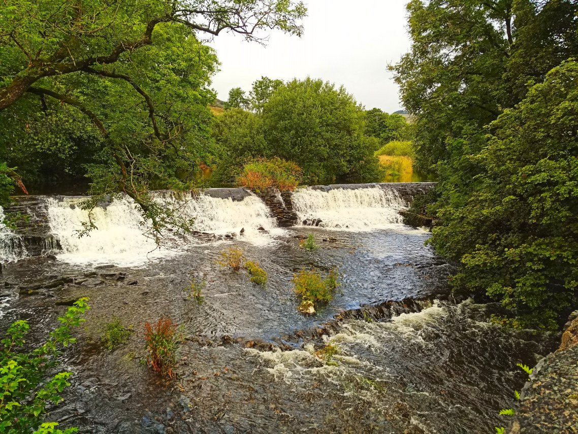
Actually the day turned out better than forecast with a few good periods of sunshine in between the light showers and the one 15-20 minute deluge. Saturday had been very wet though so there was plenty of water coming over the weir.
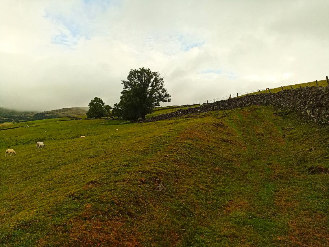
After a short walk up Hall Lane we take the path across the fields which does have the look of an old lonning..
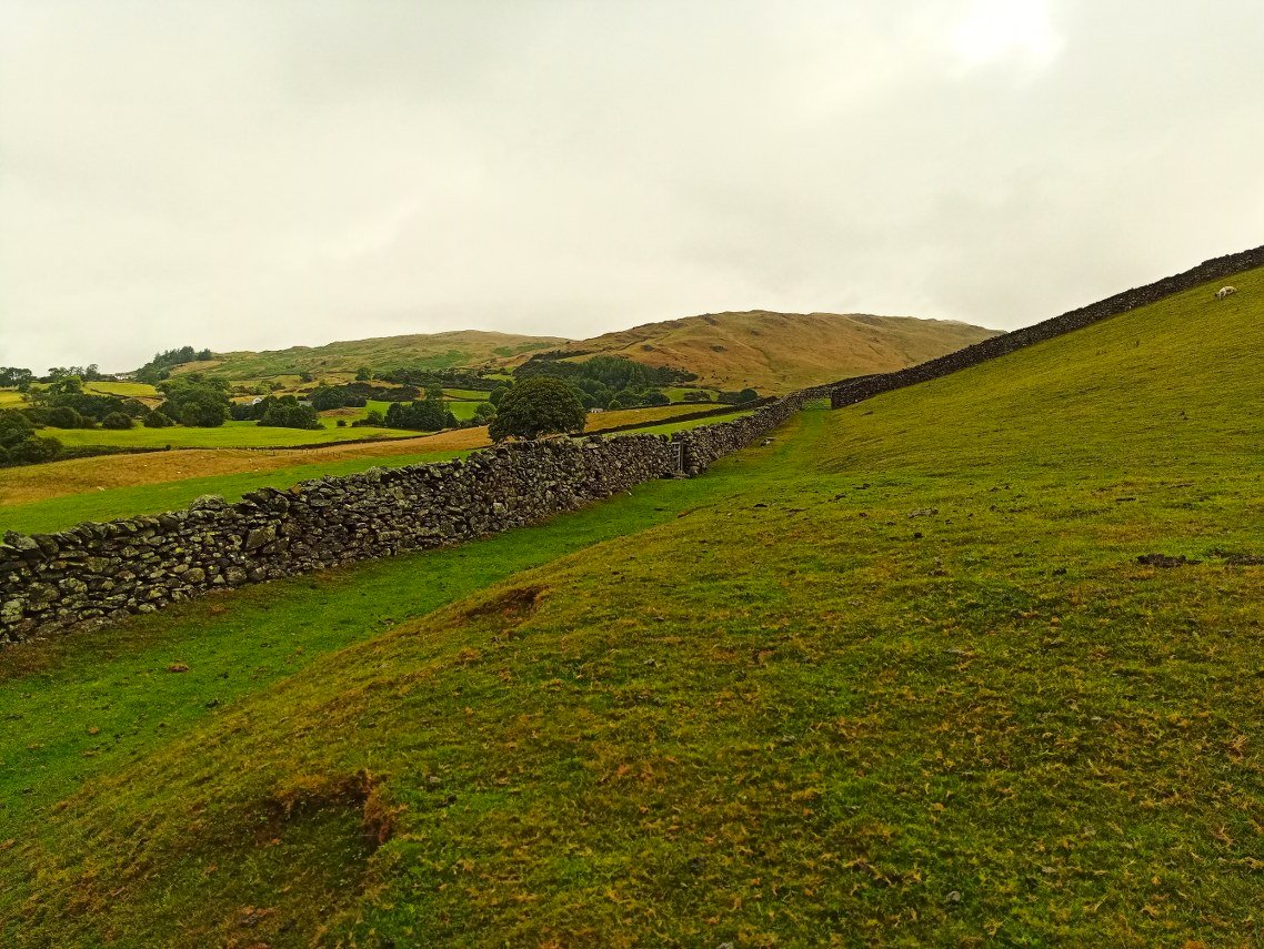
The path crosses several fields before reaching the road below Brunt Knott which is the fell in the distance.
As we passed underneath Brunt Knott and were debating whether or not to climb it as it had started raining, Sue spotted a sheep with it's head stuck in a fence in a field just below us so we hopped over the fence and went to see if we could free it. The poor thing did look like it was on it's last legs but after a bit of a struggle we managed to free it and after staggering around for a minute it ambled off seeming none the worse for wear.
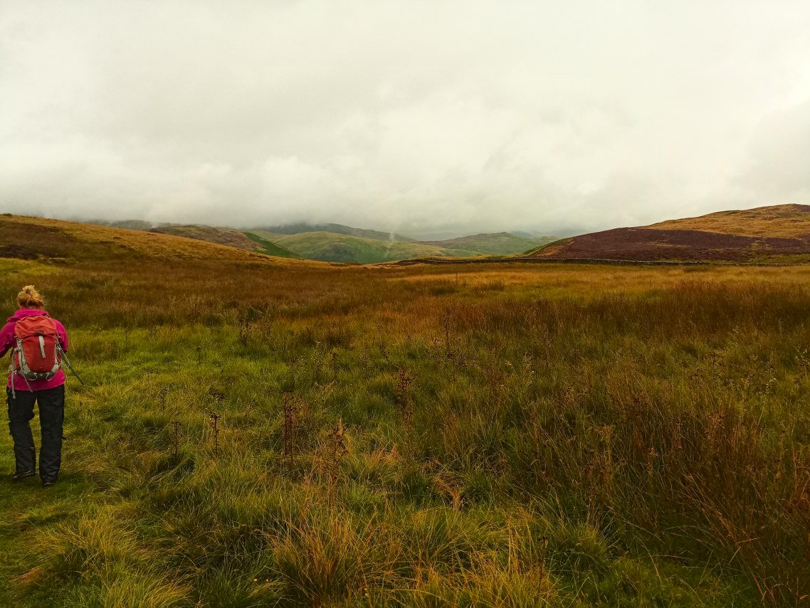
Our good deed for the day caused us to completely forget about Brunt Knott and before we knew it we were descending down the track heading towards Longsleddale.
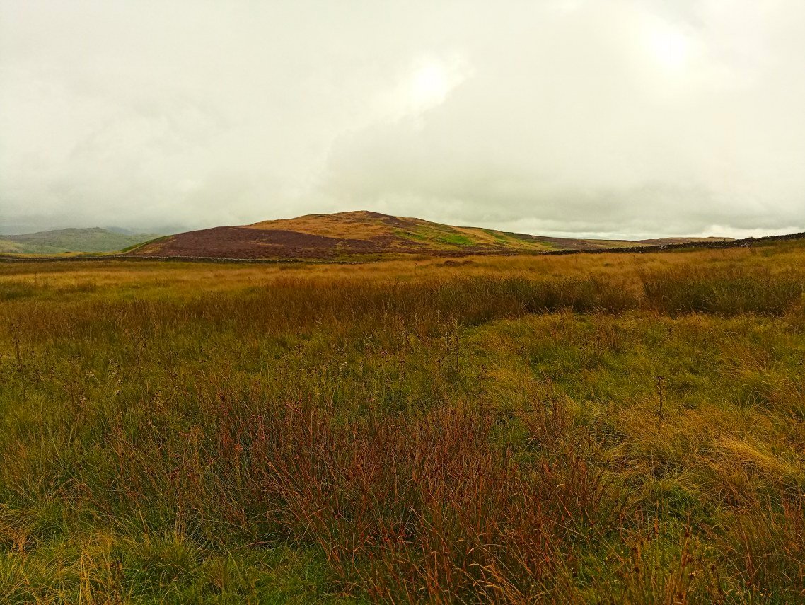
This is the 1262ft nameless summit described by Wainwright in the Potter Fell chapter of the Outlying fells book..We passed around it to the left hand side
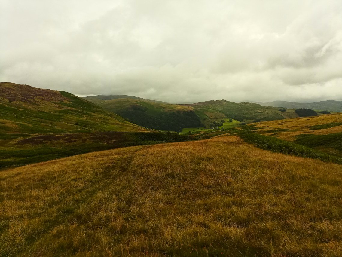
The view opens up over Longsleddale with the pointed top of Whiteside Pike on the right and the left leg of the Bannisdale Horseshoe leading up away from it..
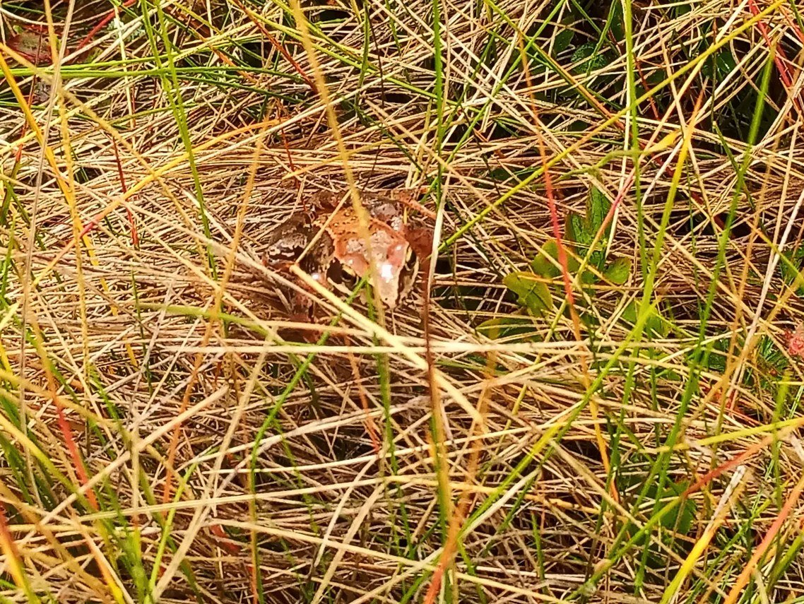
Just as were sitting down for lunch we realised that the spot was already taken.
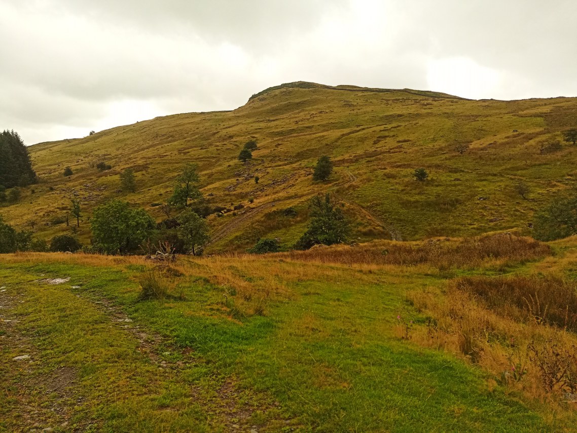
After lunch we rounded the hillside on a very pleasant and drier than expected path and before long we spotted Ulgraves.Our route took us on a slanting track which you can just make out crossing the fell from bottom right.
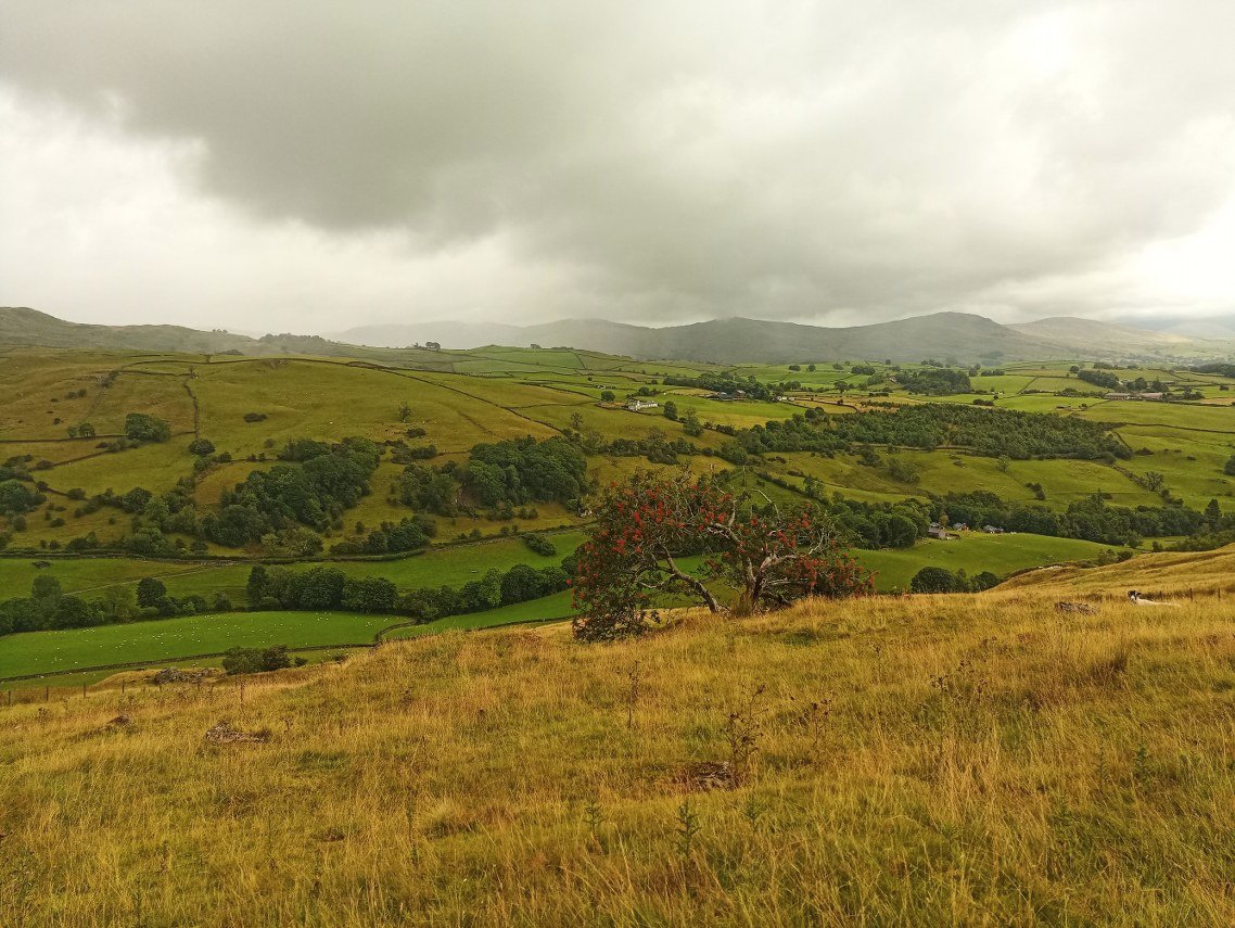
On the slanting path now and the fells on the south western side of the 'other' Borrowdale can just be seen through the cloud..
.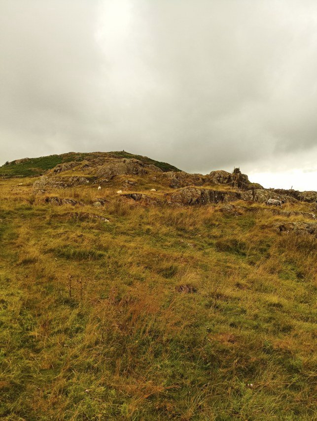
Ulgraves isn't a high fell by any means but it's still a bit of a pull to reach the top.
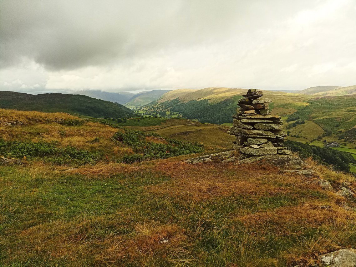
Distinctive cairn on Ulgraves (not quite at the highest point though )
The weather has cleared up a bit allowing us a view along Longsleddale.
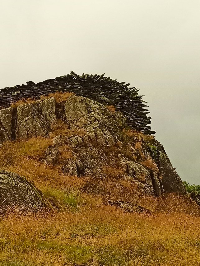
From Ulgraves we followed a clear path off the fell heading in the direction of Gurnal Dubs passing this elaborate bit of drystone walling..
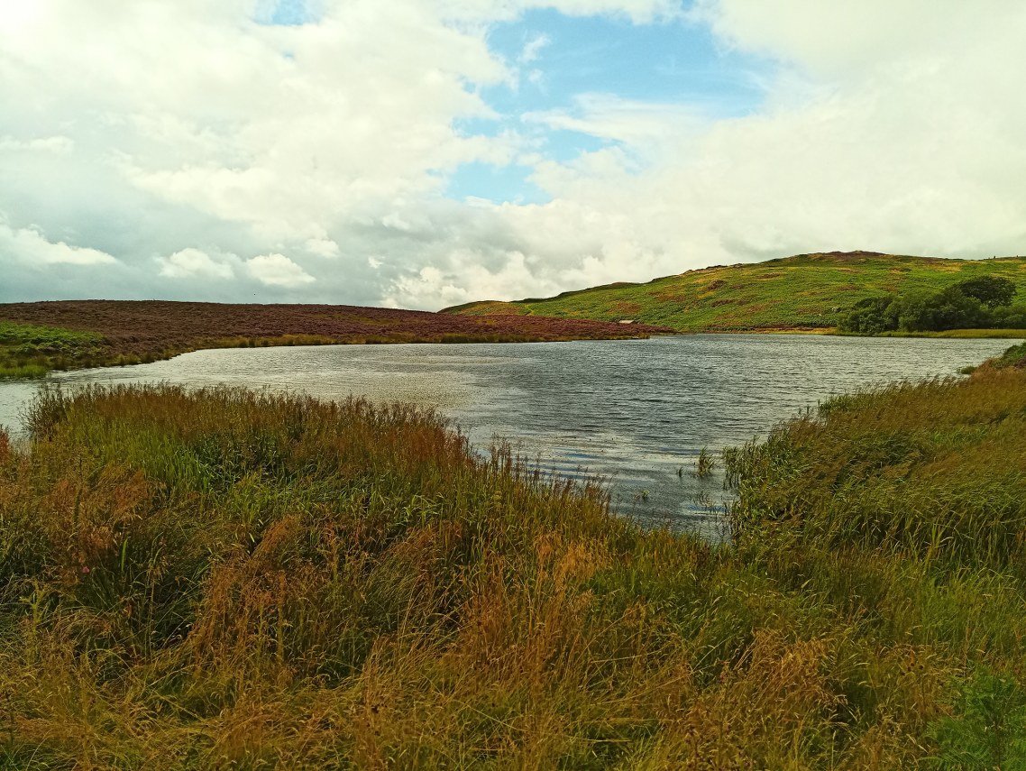
After a few minutes we arrived at the man made ( or at least modified ) but still lovely Gurnal Dubs.
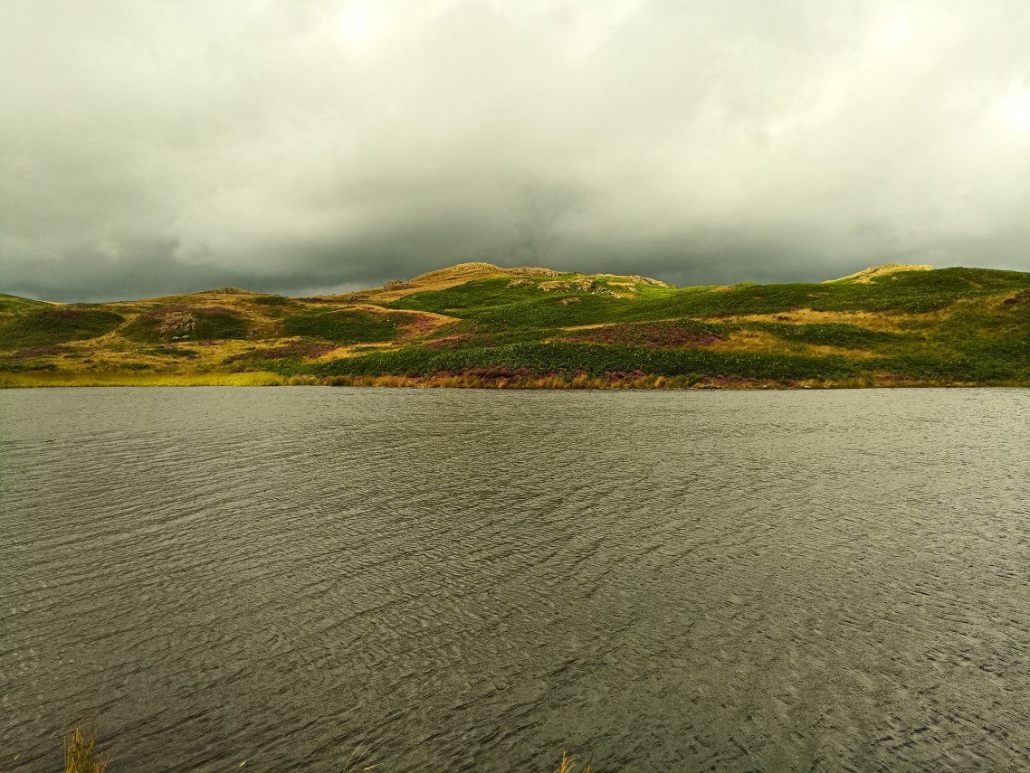
Looking across the tarn to the high ground which has the collective name of Potter Fell.
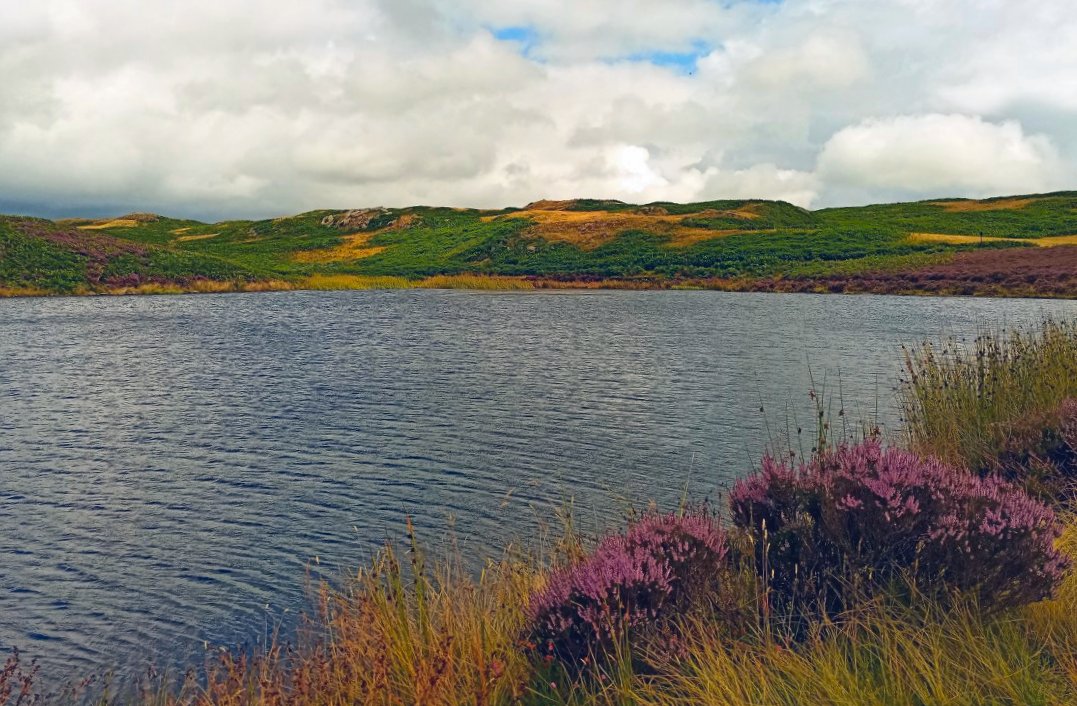
We had a few minutes of warm sunshine as we followed the path around the southern edge of the tarn....
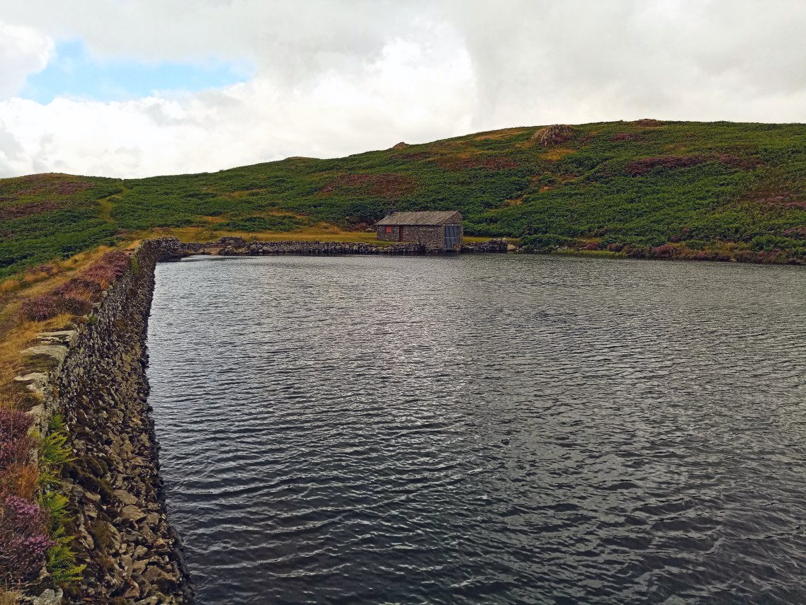
...which leads eventually to the dam and boathouse.
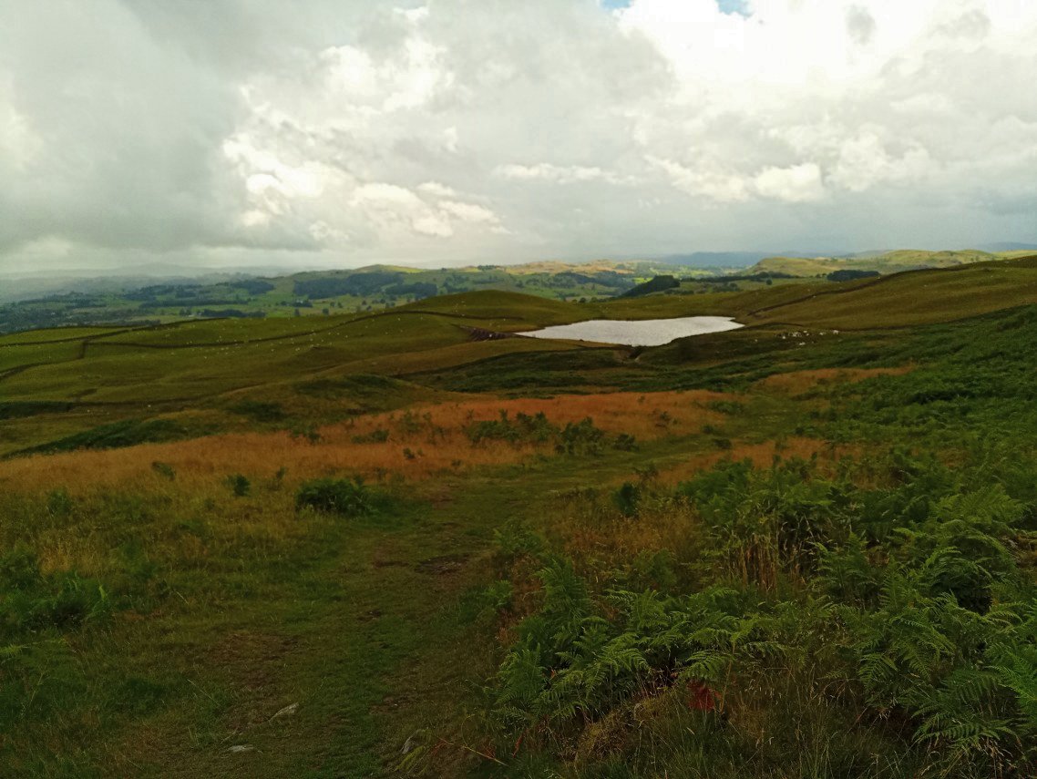
From Gurnal Dubs the path crests a little rise which reveals Potter Tarn below.
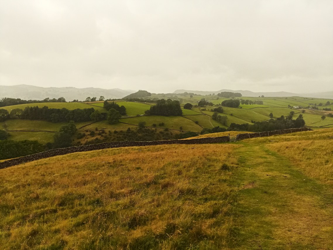
A heavy rain shower caught us at Potter Tarn so no photos were taken. Our path back to Staveley descends quite steeply into the shallow valley of Frost Hole.
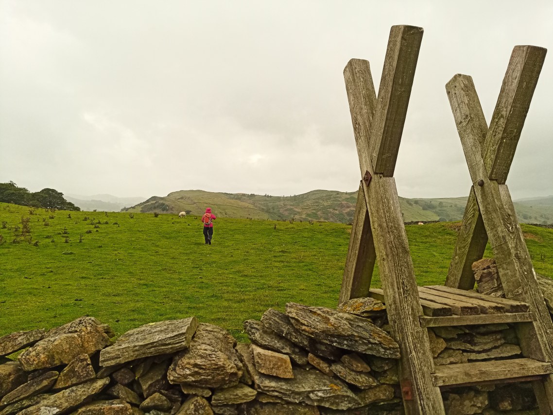
After climbing back out of the valley we crest the last rise before the steep descent to Barley Bridge. Reston Scar and the Hugill group of fells are seen on the other side of Staveley.