WWW.KARLSWALKS.CO.UK
PICTURES AND TRIP REPORTS FROM MY WALKS IN THE ENGLISH LAKE DISTRICT
|
|
|
|
||||
|
|
|
|
|
|
|
E-mail - karl@karlswalks.co.uk |
Another two dayer, bagging some tops,visiting old favourites and exploring new ground. Saturday and Sunday were forecast to have the best of the bank holiday weather, in fact Bank holiday Monday was forecast to be ( and was ) a grim day but I was busy on Saturday so I planned a lower level route for Monday and had to hope for the best.
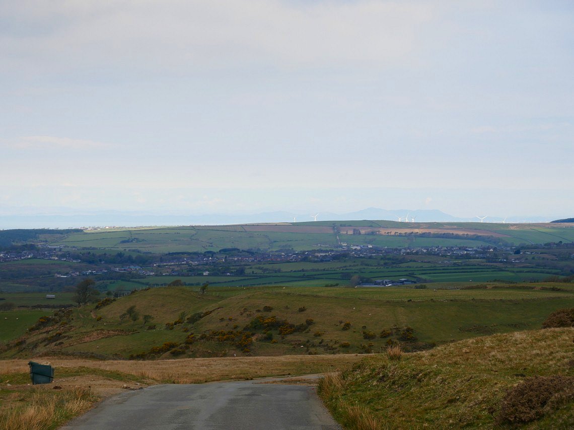
I was up early for the long drive to one of the small car parking spaces on the Cold Fell road a couple of miles outside Ennerdale Bridge. It was quite a cold day so the clear air meant that Scotland was quite clear.
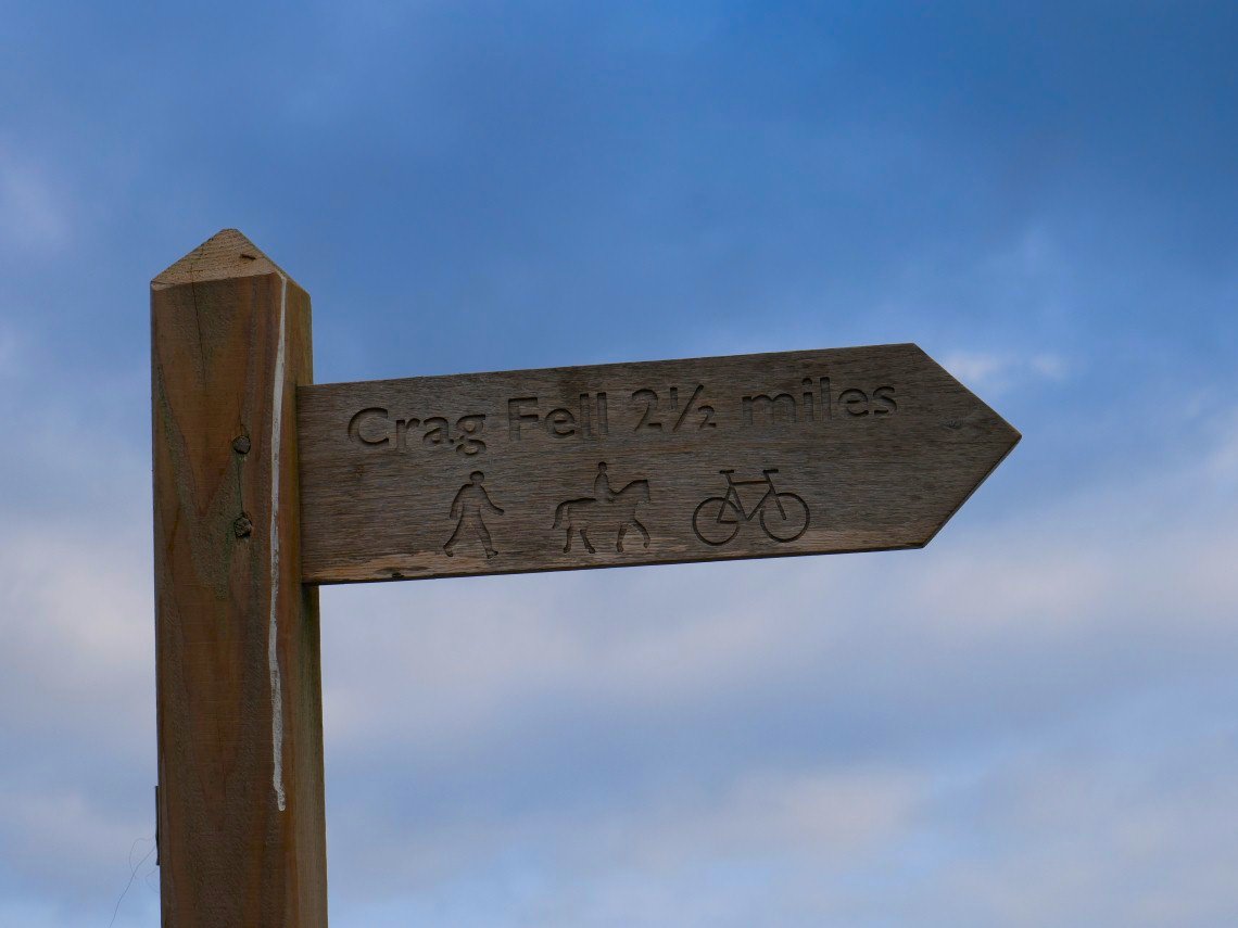
Handy signpost at the start of the old mine road.
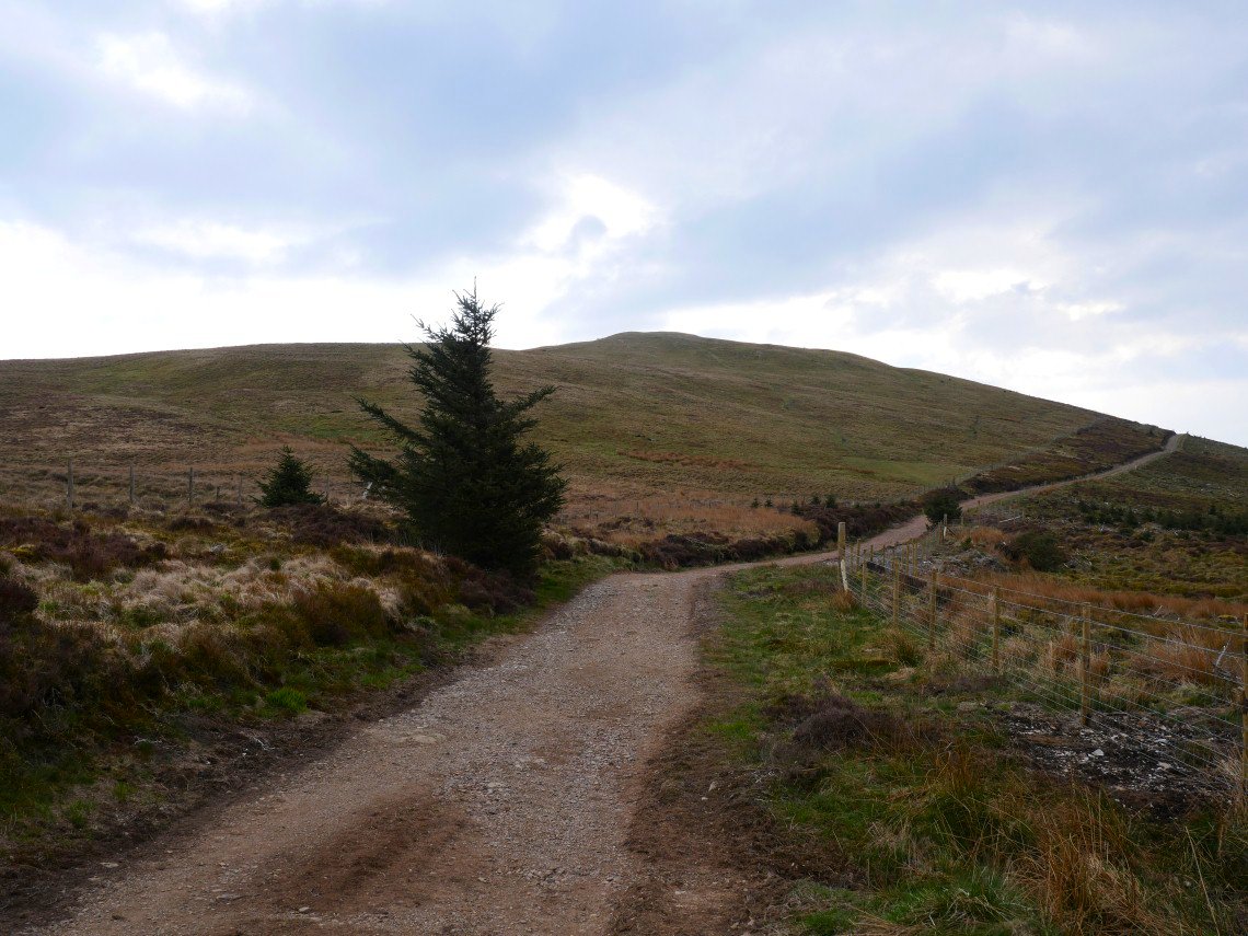
Before I reach Crag Fell however I have to climb Grike.
The full ridge of the High Stile fells from Red Pike on the left to High Crag on the right appear over the top of Crag Fell
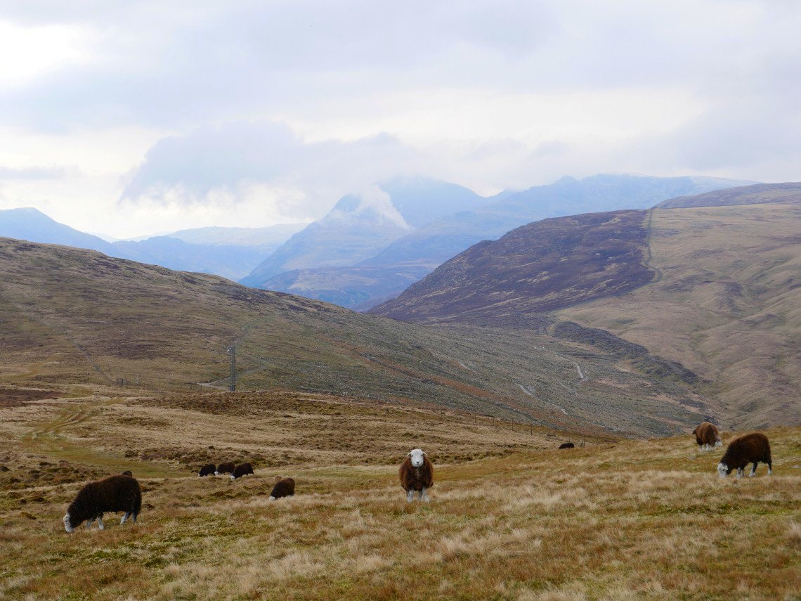
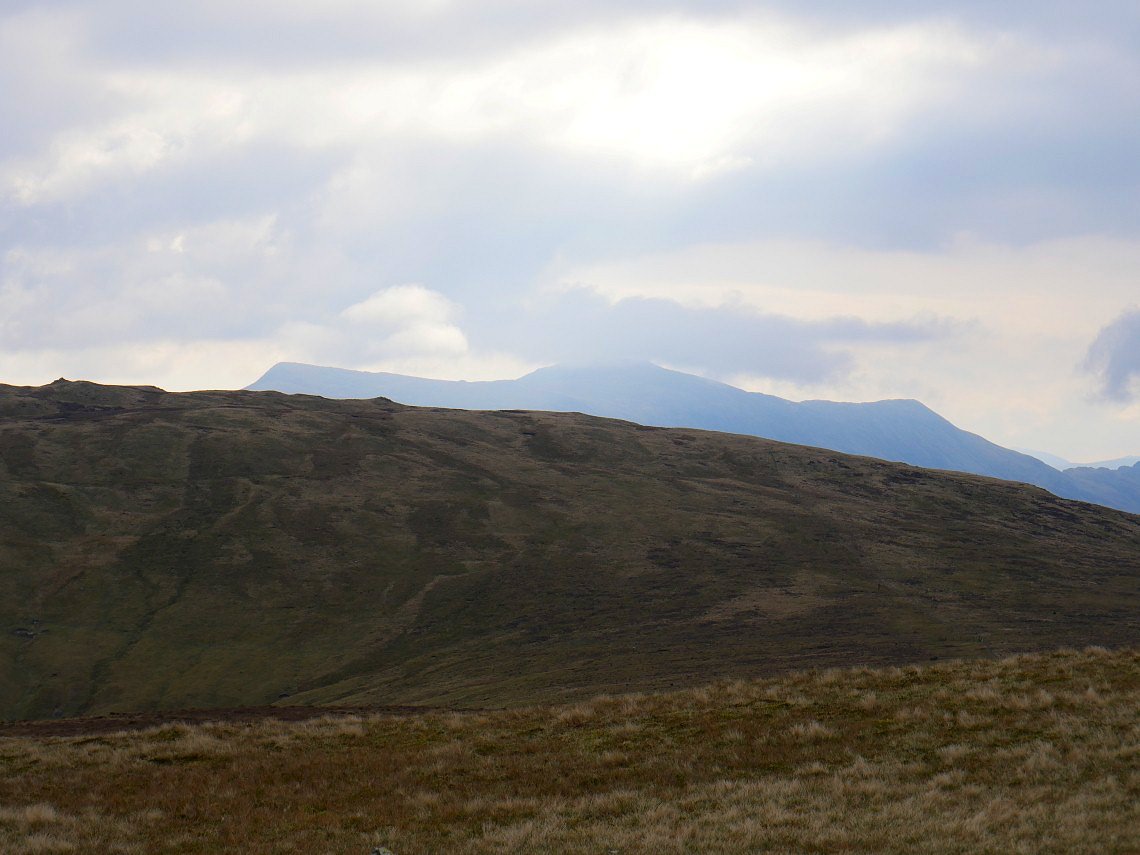
Even with the couple of days of wet weather the fells are still very dry. A fell runner who passed me said that this was the first time he'd had dry feet on the usually very boggy crossing fro Grike to Crag Fell. Low cloud is covering the top of Pillar Scoat Fell.
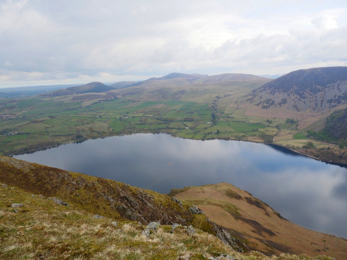
The western end of Ennerdale Water.
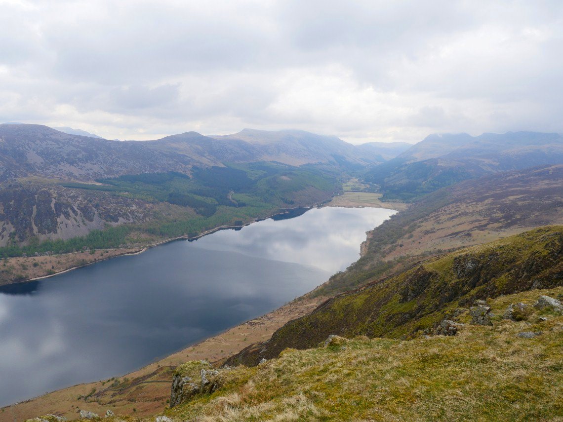
And the eastern end with the valley stretching away into the distance.
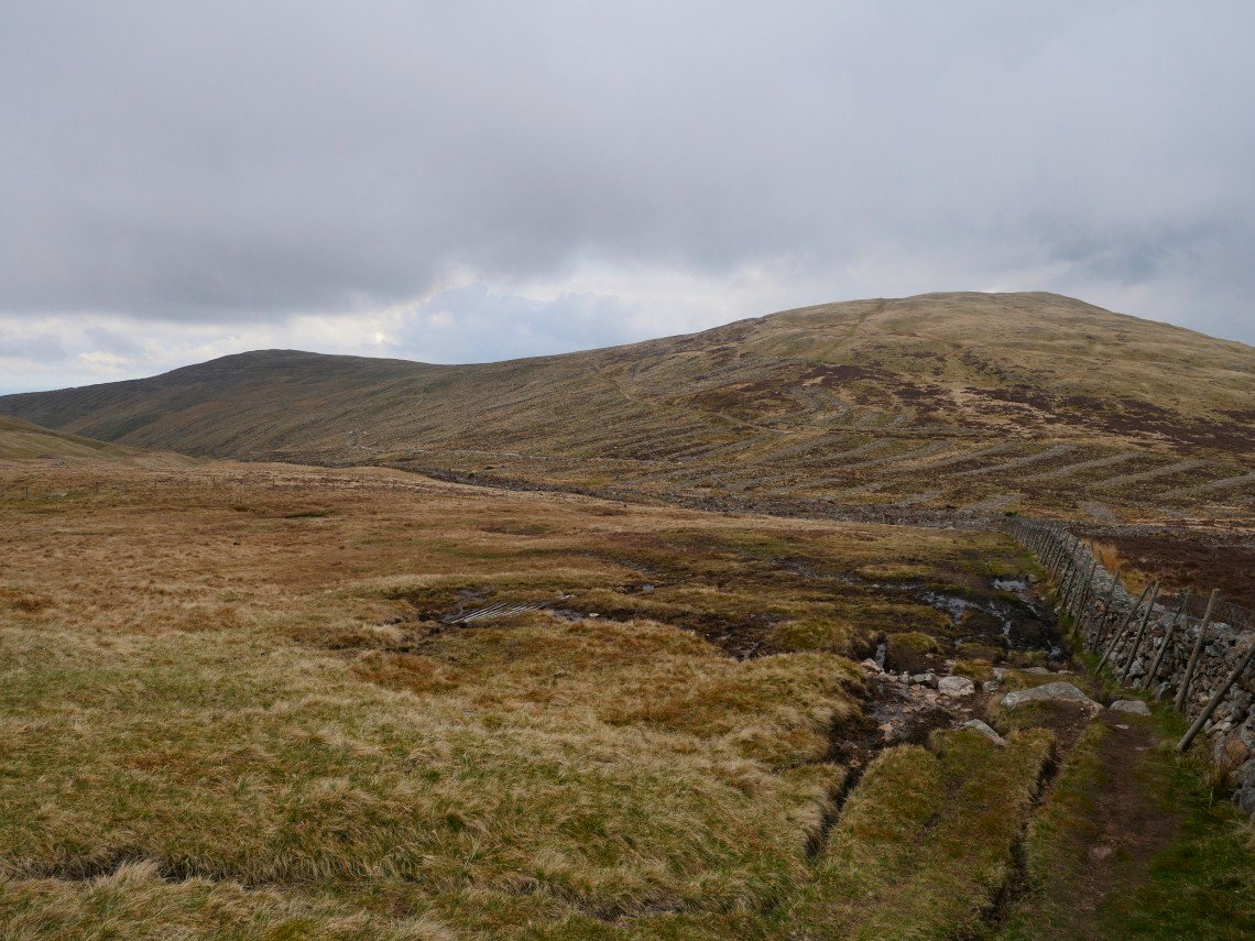
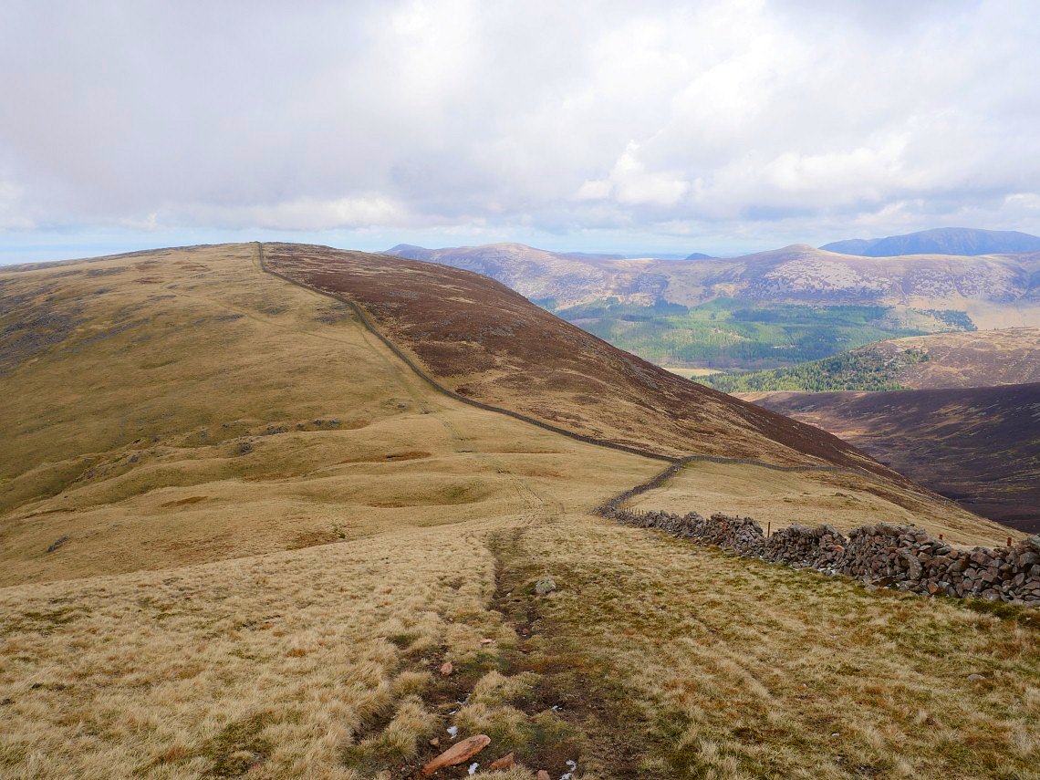
From Crag Fell I make my way down through the felled plantation to start the climb up along the Ennerdale fence, one of the longest ( might even be the longest ) walls in the Lake District. Grike and Crag Fell seen from near the start of the wall.
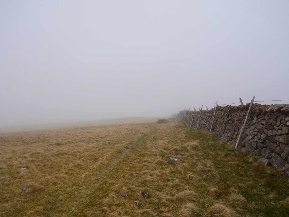
The climb by the fence is not very steep and is good underfoot which makes it a walk I always look forward to. We have been spoiled with blue sky days recently so this is more like the Lake District weather we are used to.
.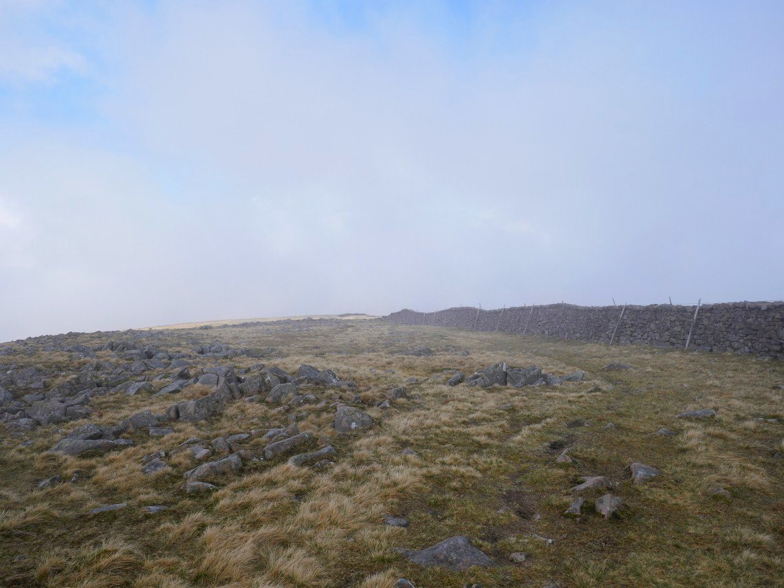
If you don't have mist though then you will never have that oooh moment when it starts to lift.. I've gone through a gate in the wall now which give access to Iron Crag..
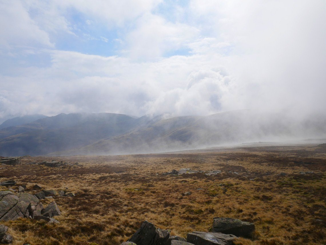
On to Iron Crag now and the mist is slowly lifting from the higher fells.
Soon my way is clear, but even in mist you cant get lost just follow the wall. You need to go back through the gate because just out of view there is a junction in the wall with no gate and the wall is a bit high to climb over ( I speak from experience ) Caw Fell is where I'm headed which is the high ground to the left of the wall.
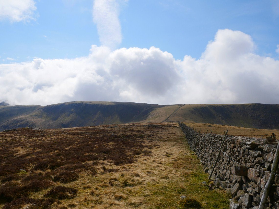
Looking back to Iron Crag. The wall junction is down below.
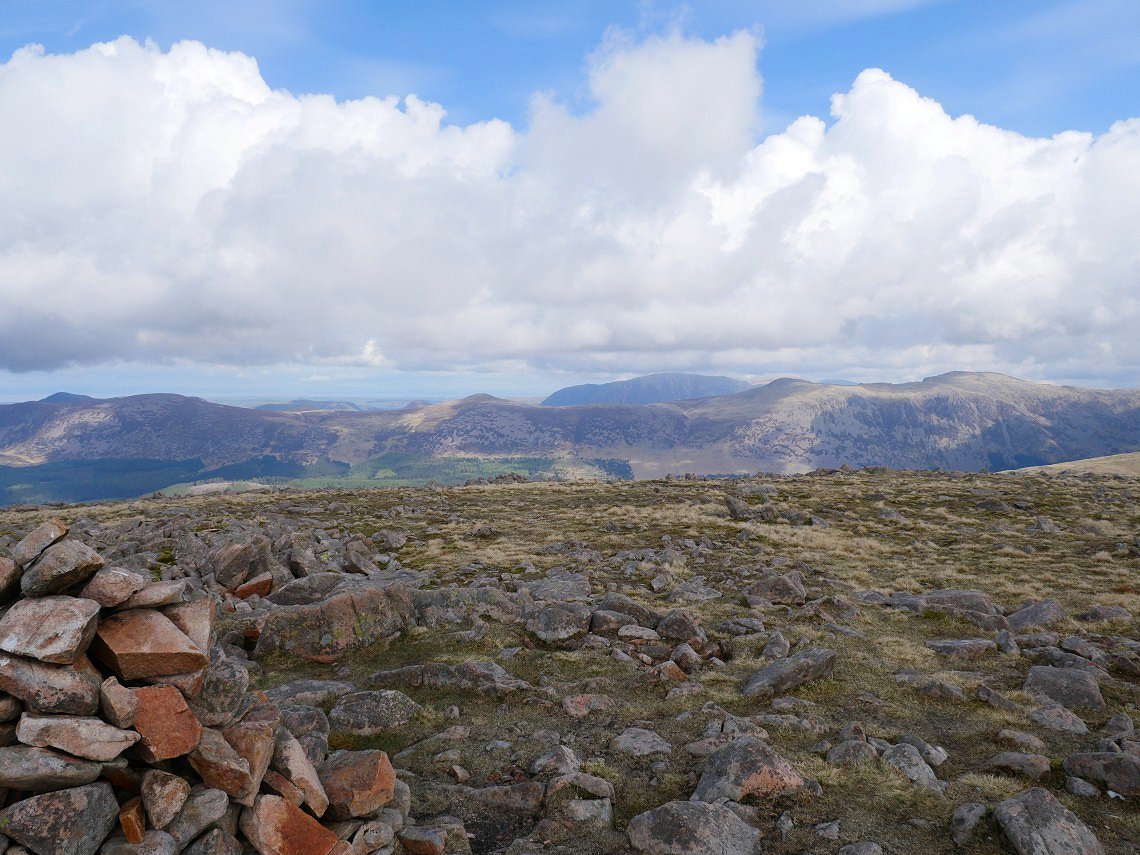
On to Caw now and Grasmoor pops up between Starling Dodd and Red Pike.
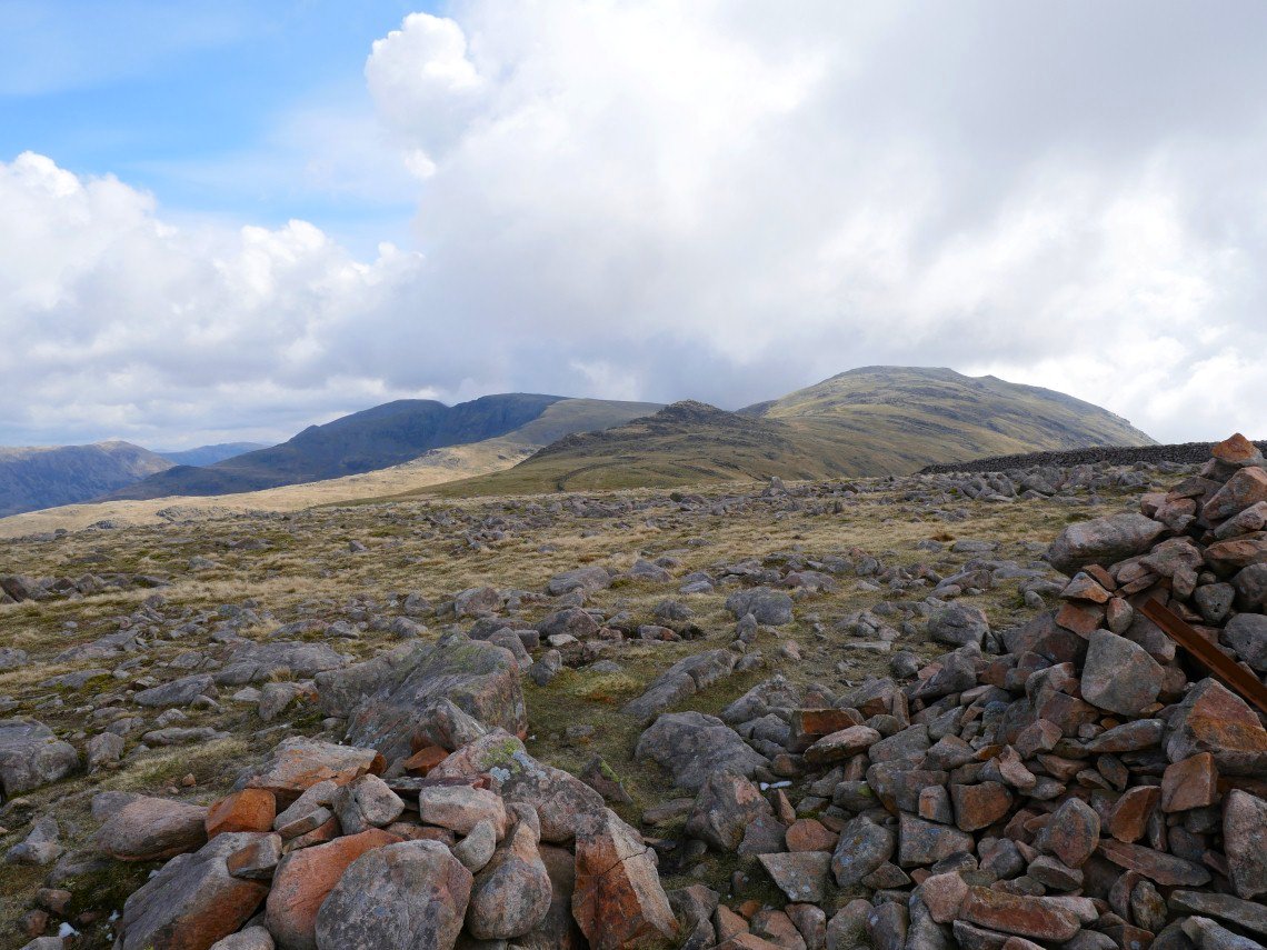
My way ahead past Little Gowder Crag and up to Haycock.
And looking back the way I've come from the climb to Haycock.
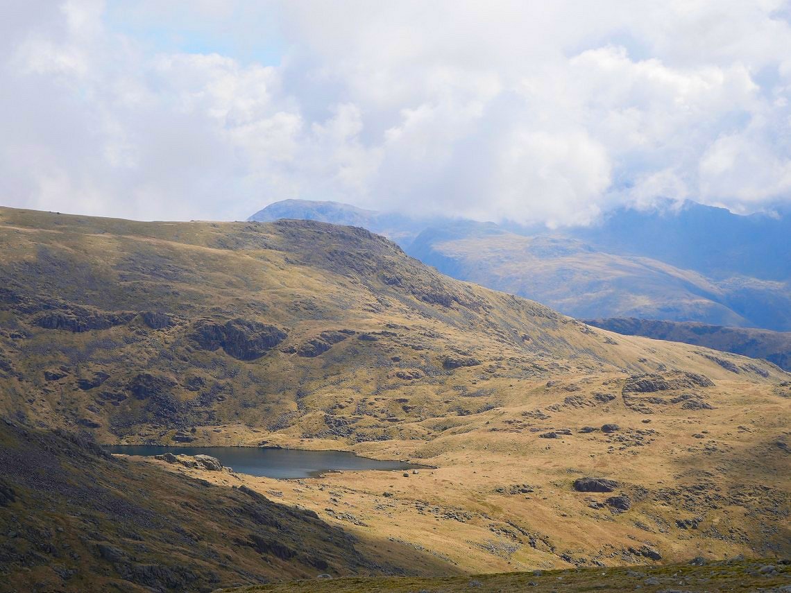
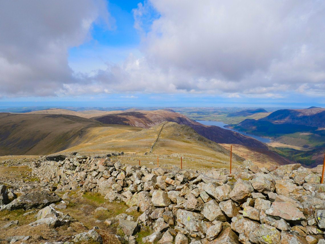
Scoat Tarn below lower top of Red Pike.
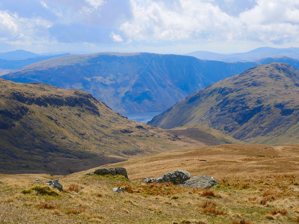
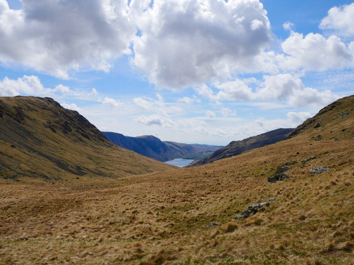
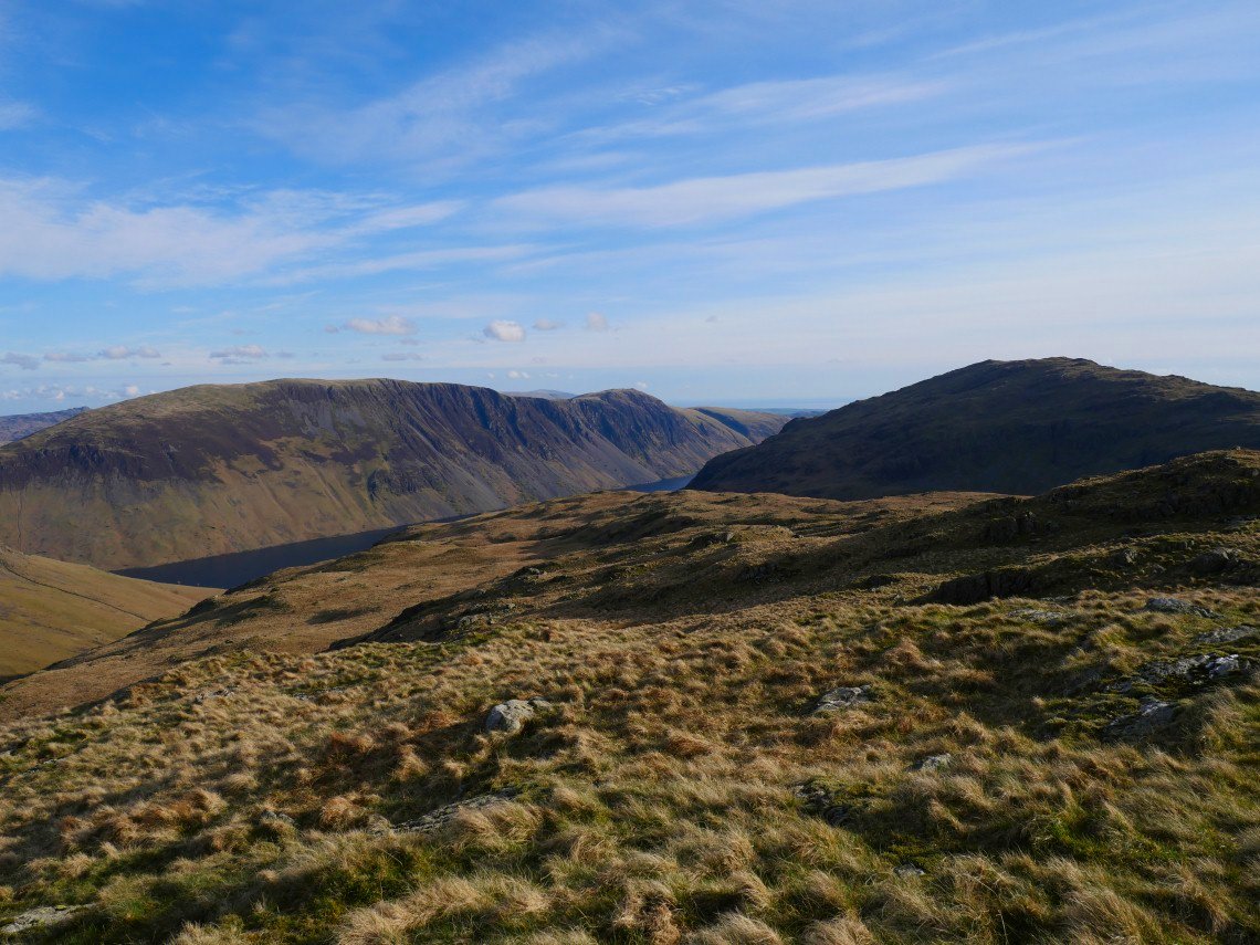
First sight of Wastwater and the Screes seen through the gap between Middle Fell on the right and High Fell.
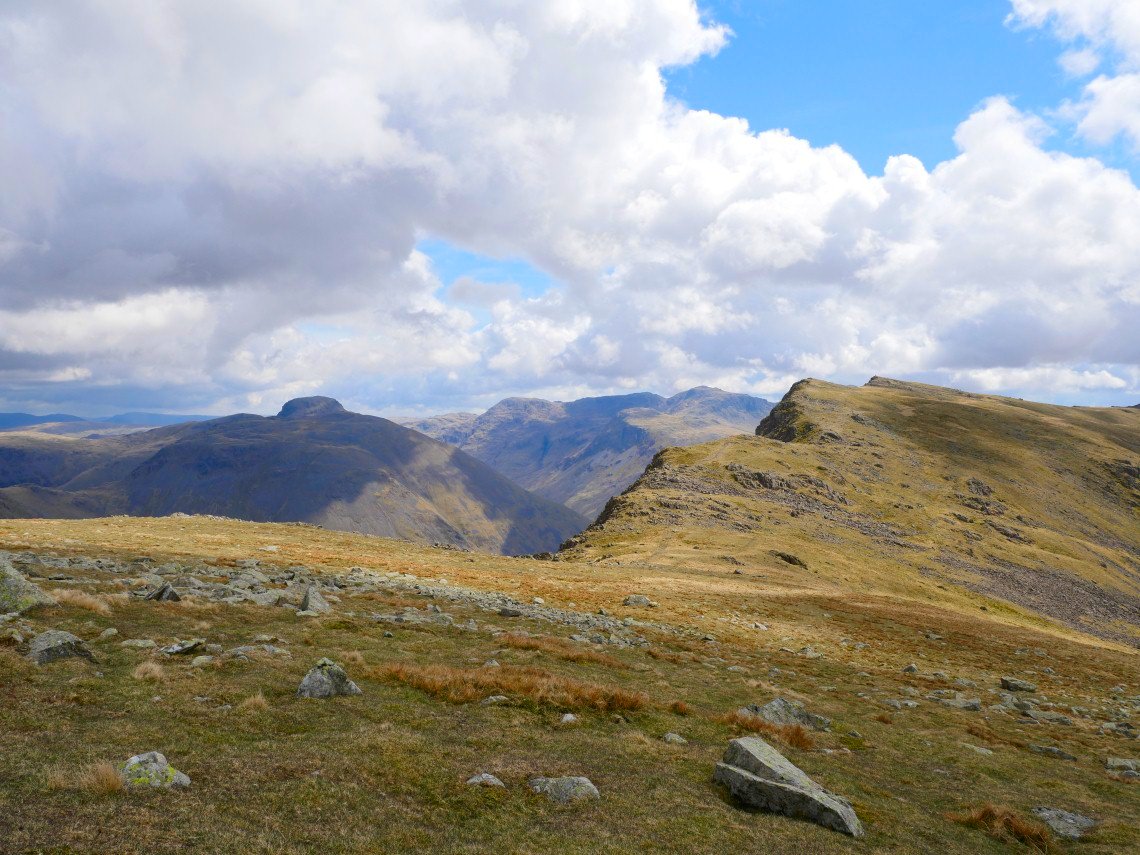
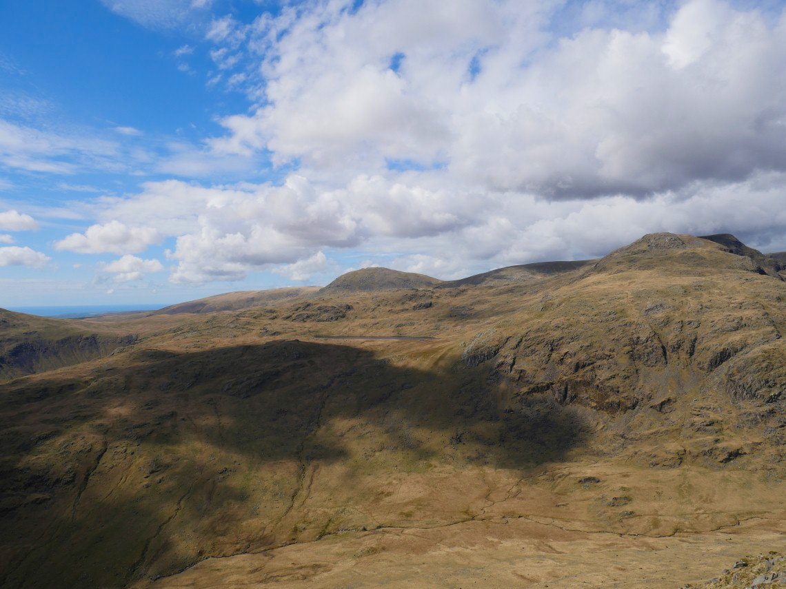
I contoured around the very top of Scoat Fell to join the path up to Red Pike. Great Gable has now stuck his head above Kirk Fell.
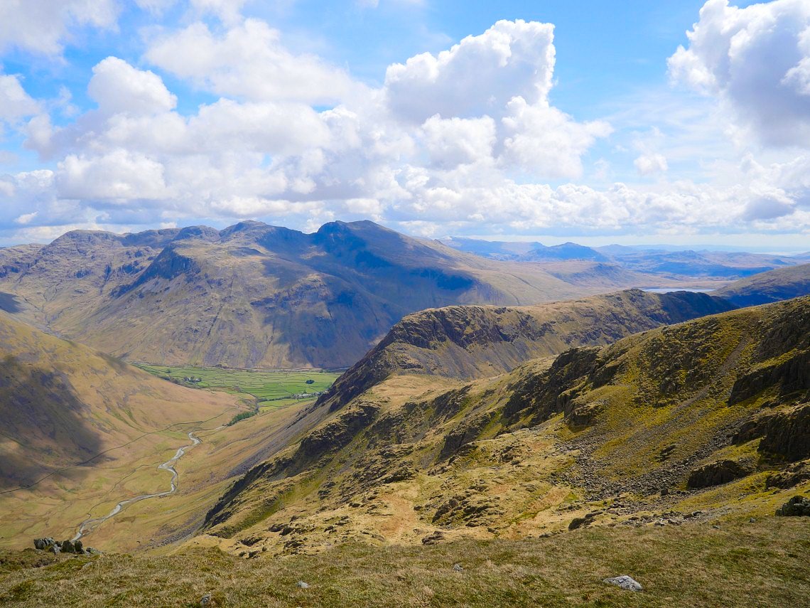
Yewbarrow is where I'm headed next. Beyond that the fields of Wasdale contrast with the Scafell massif above them.
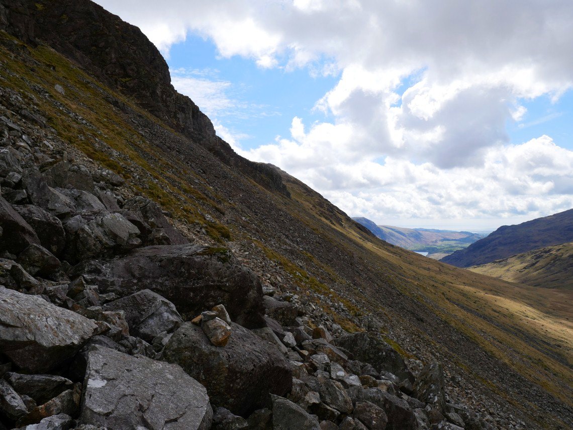
It's a steep and in places rocky descent to Dore Head but doesn't take too long, here I'm looking down Over Beck to Wastwater.
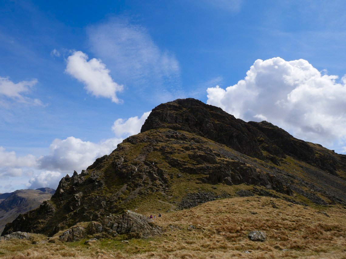
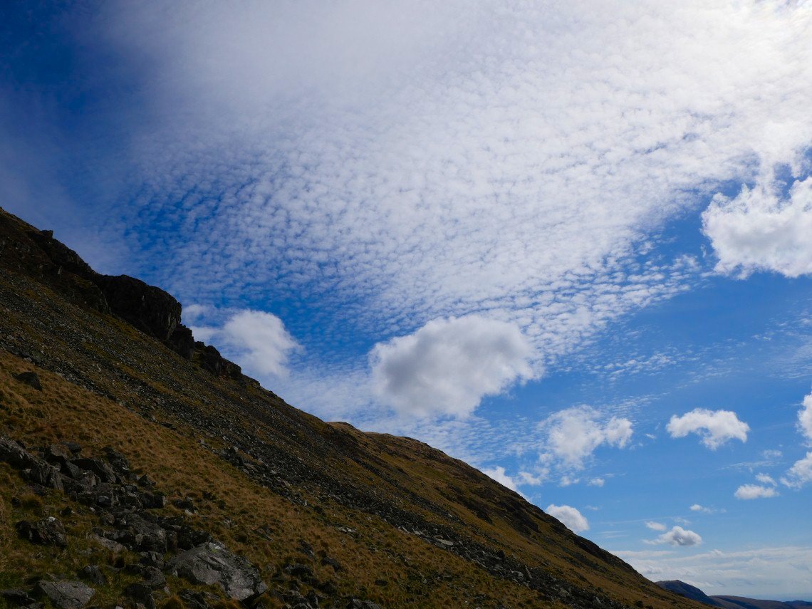
I chickened out of climbing to Yewbarrow by way of Stirrup Crag. I did have a heavy rucksack and the wind had got up slightly, that's my excuse and I'm sticking to it.
The "easier" scree path still looks quite formidable but in fact is quite straight forward.
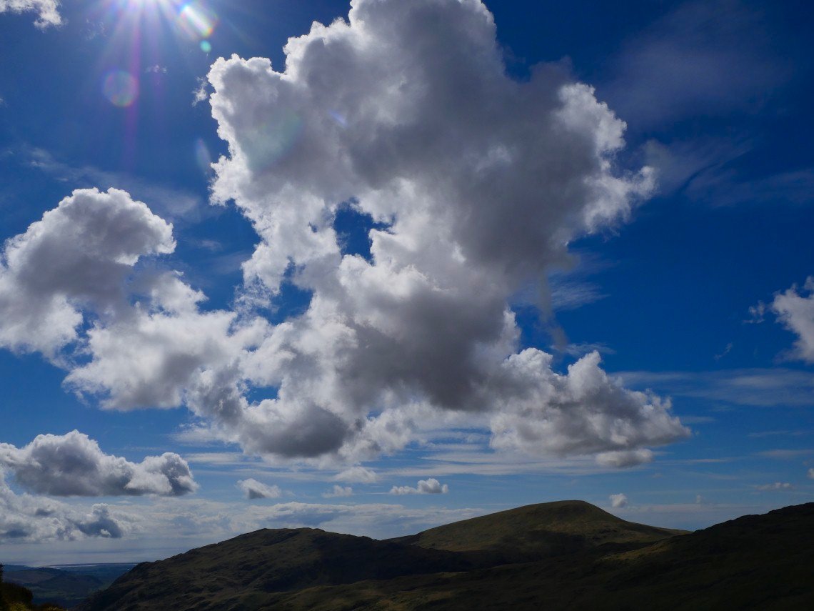
There were some lovely clouds about today. Middle Fell and Seatallen below these.
On to Yewbarrow now looking across to my campsite for the night Low Tarn.
I retraced my path nearly back to Dore Head. More lovely clouds above Yewbarrow.
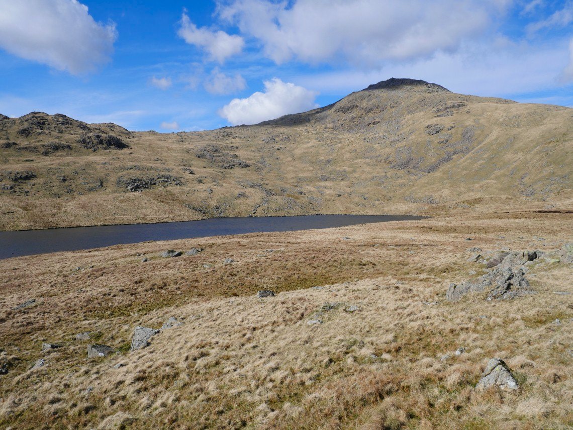
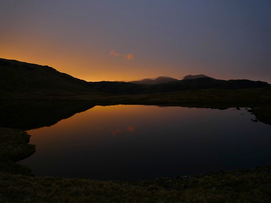
Low Tarn with Red Pike above.
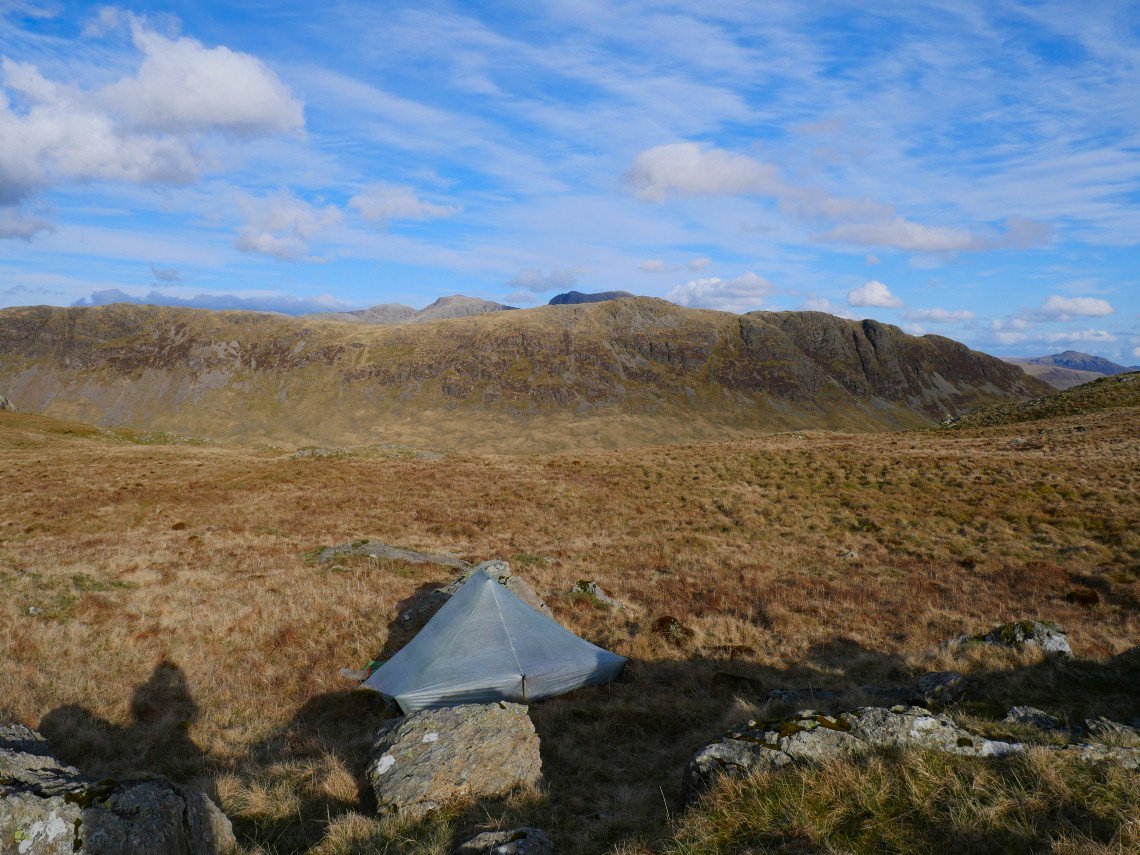
I found an easier route than I was expecting from Over beck up to Low tarn. My pitch looking over Yewbarrow to the Scafell Pikes.
After tea I had a wander around the interesting ground surrounding the tarn, from one little knoll I got a nice view of the screes.
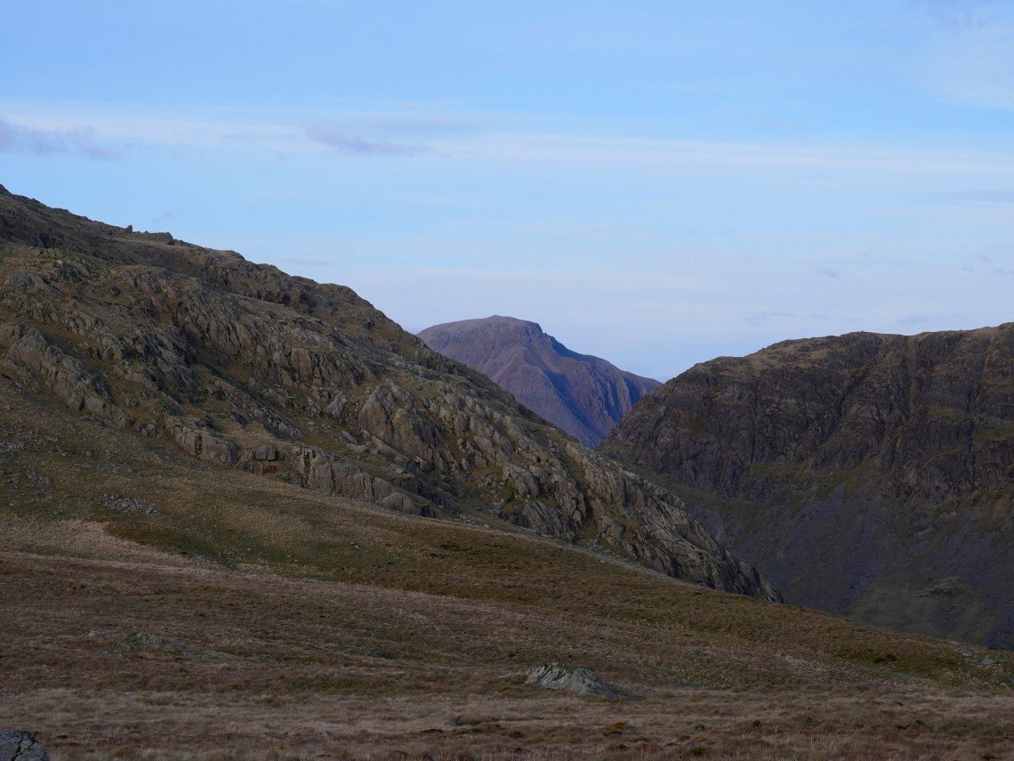
Great Gable popping up again. A not too cold night followed and I slept well on a comfy pitch.
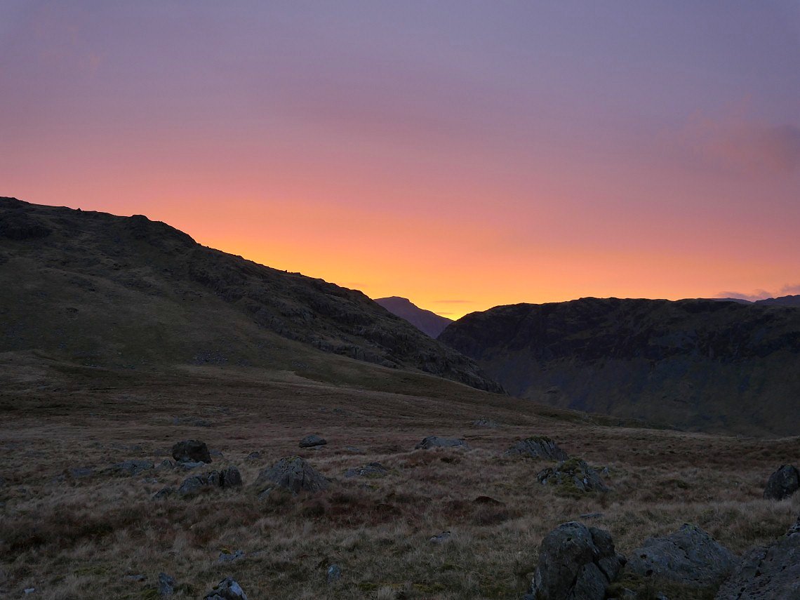
I set my alarm for five which was just in time to catch the lovely sunrise.
Zooming in on Great Gable.
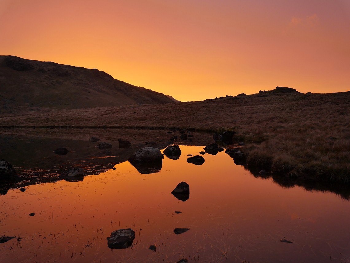
There was no wind so the tarn was like a mirror and just caught the rays of the rising sun.
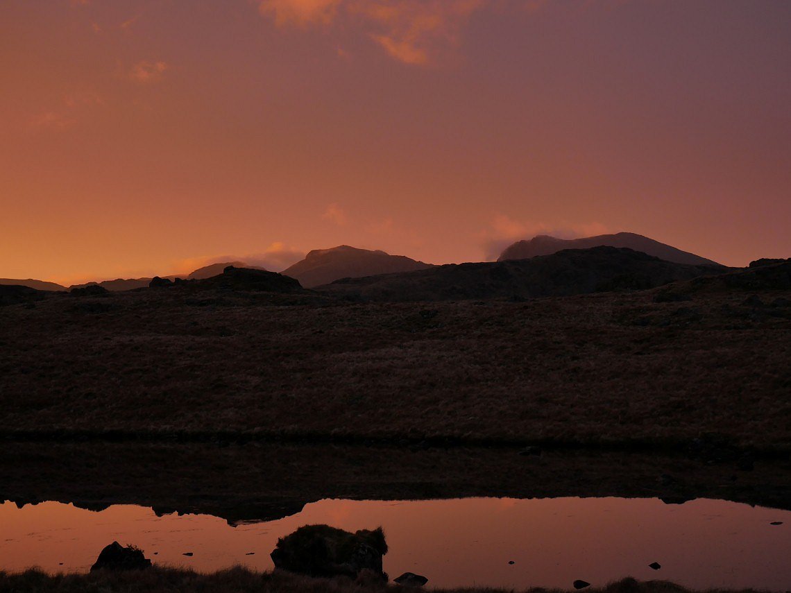
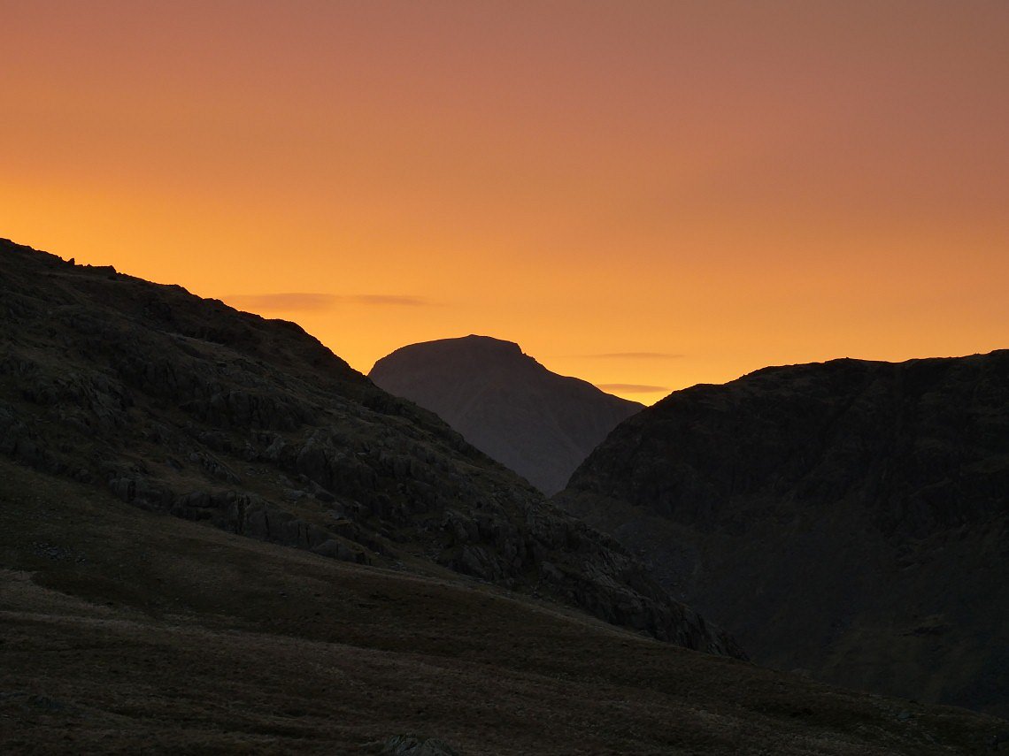
The Scafell Pike across the tarn.
After a few minutes the glow faded as the predicted cloud started to cover the sun
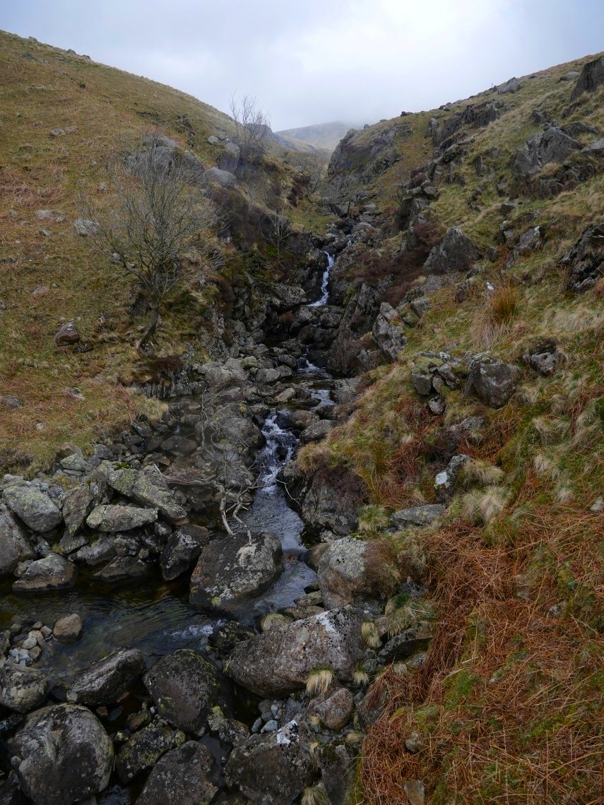
After packing up I made my way down over some rough ground to cross Nether Beck
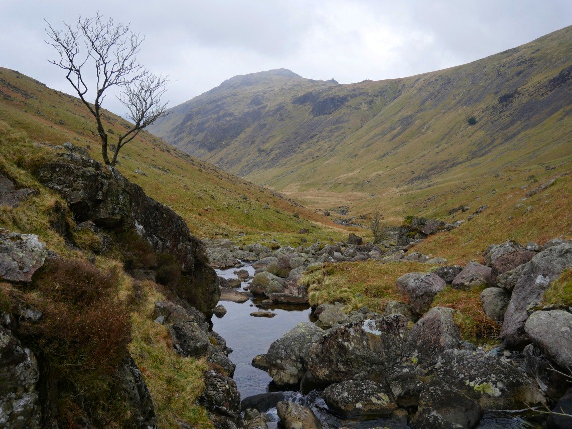
Looking downstream to Middle Fell It started raining here ( and didn't stop all day )
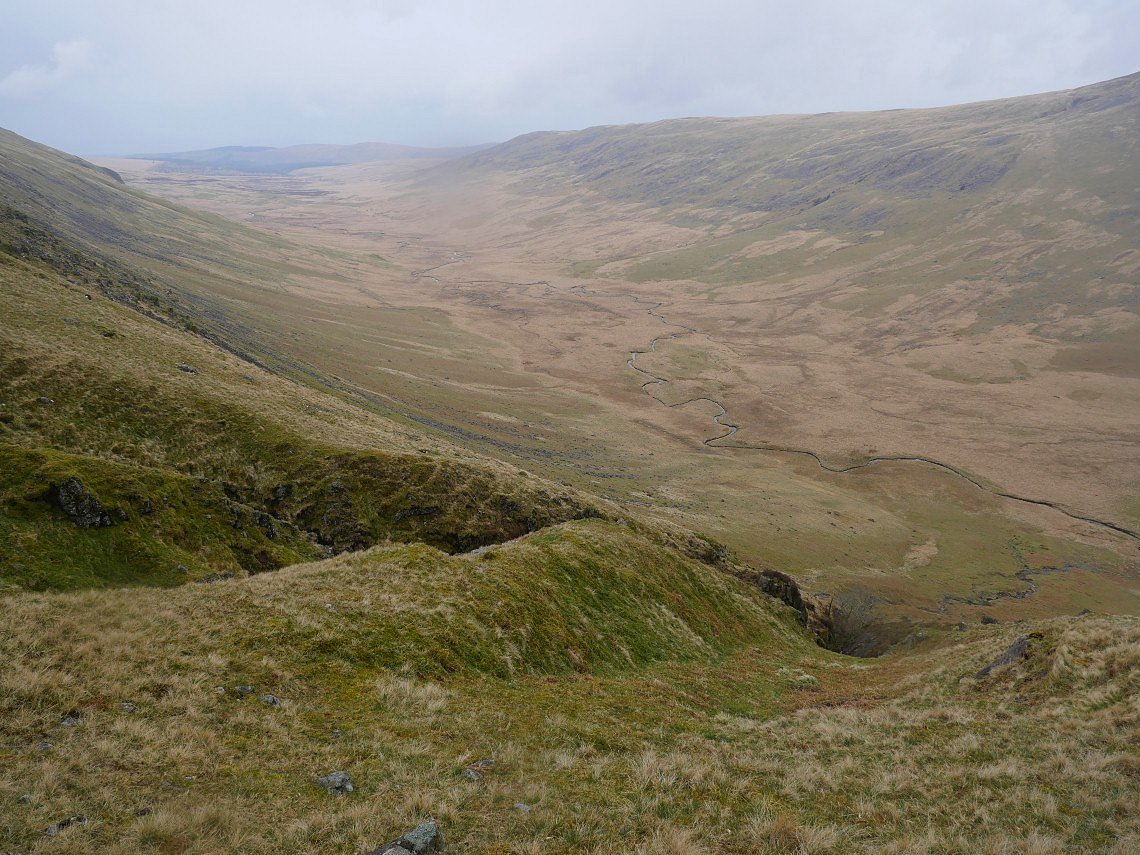
Again I found quite a straightforward route out of the valley up by the side of Great Lad Crag, crossed the Pots Of Ashness and descended to the river Bleng by the side of Rossy Gill.
Brown Band and Haycock above Stockdale Head.
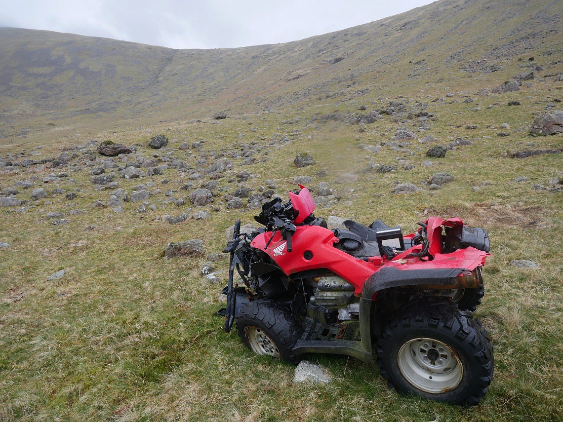
As I was descending I could see something that didn't look natural and it turned out to be a smashed up quad bike.
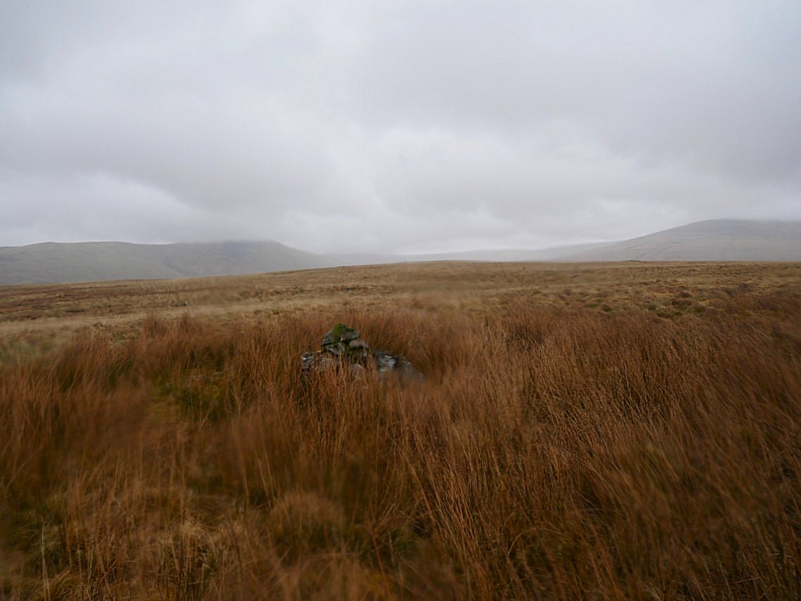
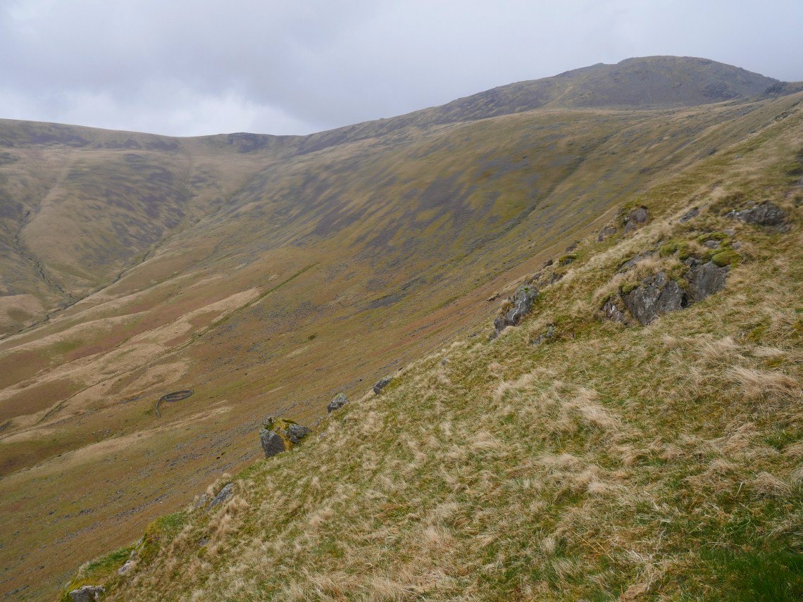
Raining harder now and suddenly a lot colder and very windy which made the crossing of Stockdale Moor great fun.
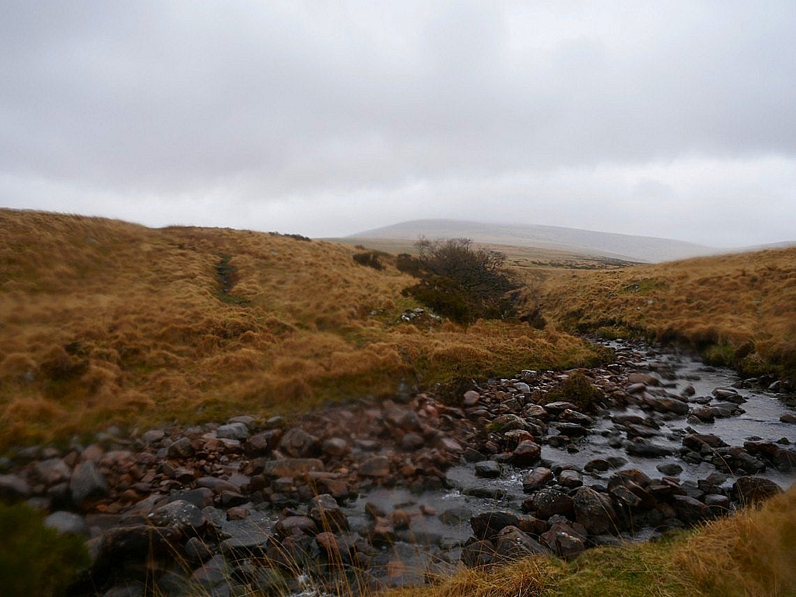
My day took a turn for the worse when I slipped crossing Caw Fell beck and went full length in the water luckily apart from a sore hand I was ok and amazingly the camera which I stupidly still had in my hand after taking the photo survived after taking a real smack on a rock. The walk out along Worm Beck and up the Cold Fell road was a bit of a miserable affair especially as the rain became horizontal on the Cold Fell road but even so I wouldn't have missed that sunrise for anything.