WWW.KARLSWALKS.CO.UK
PICTURES AND TRIP REPORTS FROM MY WALKS IN THE ENGLISH LAKE DISTRICT
|
|
|
|
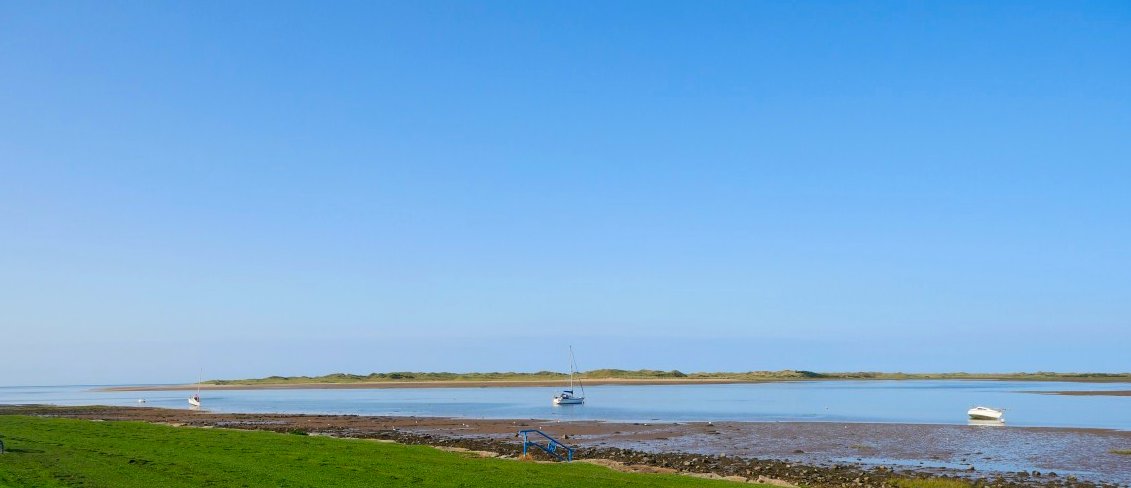
A customer postponement meant that I had unexpected few days off work so I looked on Trainline and snapped up a cheap ticket to Ravenglass. As the week progressed the weather forecast got better and better so a proposed two day trip was expanded to three.
My journey up went without a hitch and I set off from Ravenglass around 10.30. The weather as forecast was beautiful.
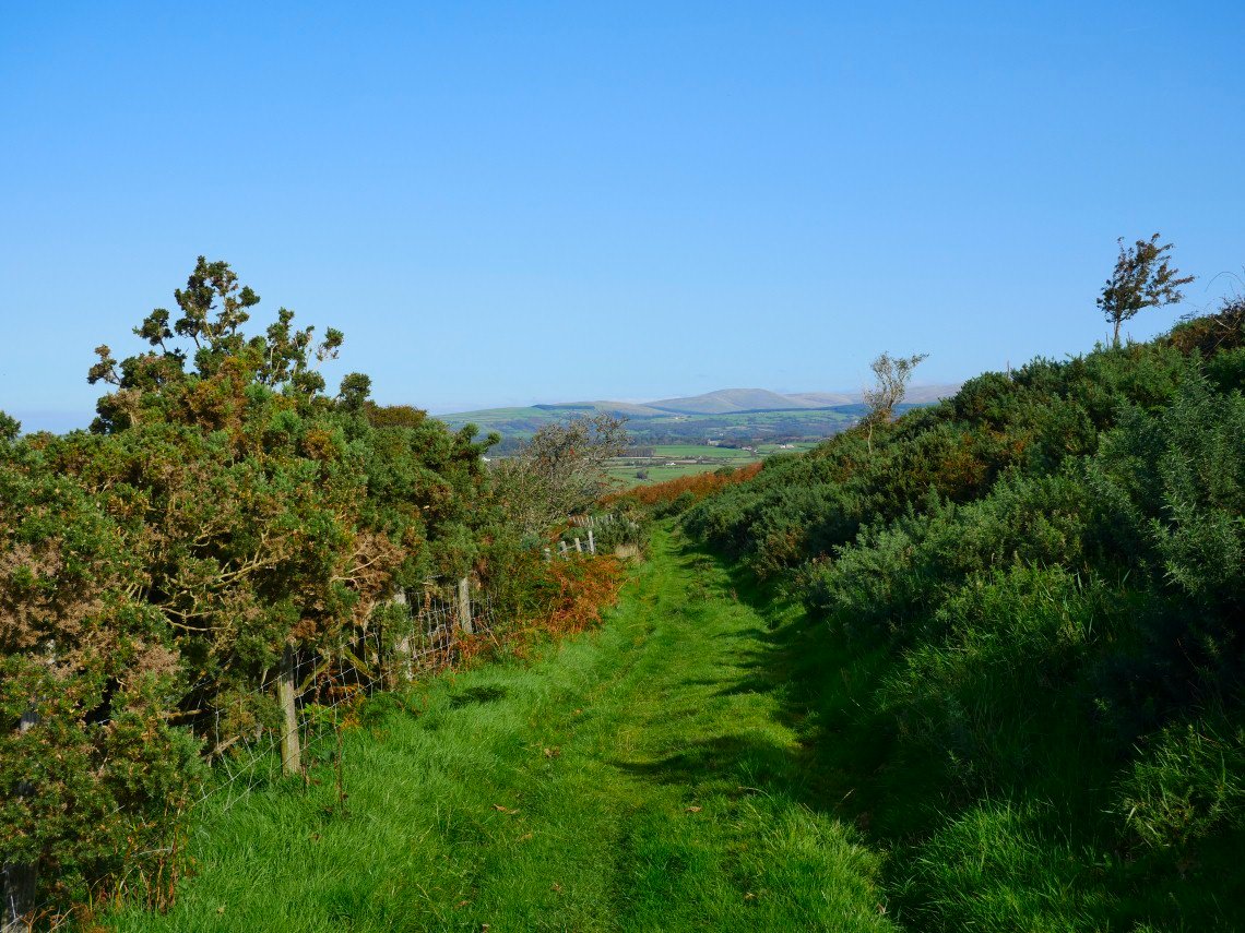
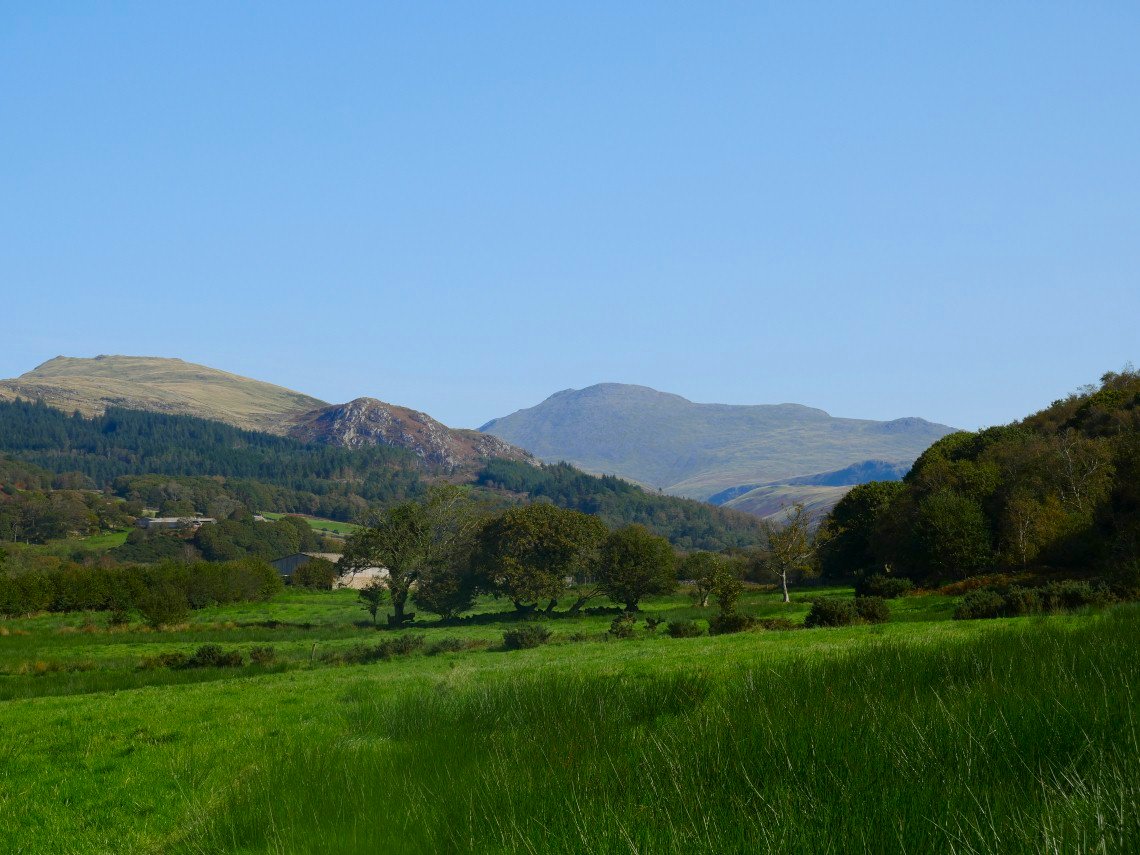
I took the same route as I did when I came this way in 2014 . The path heads north west away from the village along the flank of Muncaster Fell. Lank Rigg and the fells around is the high ground in the distance.
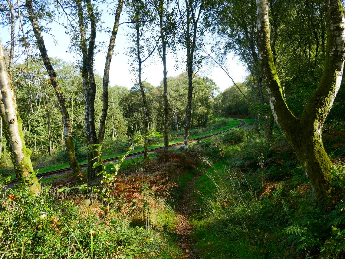
After a couple of miles the path crosses the Ravenglass and Eskdale railway line.
The small pointed peak of Irton Pike is on the left with Whin Rigg to the right.
And panning to the right brings in Scafell, Long Green and Slight Side.
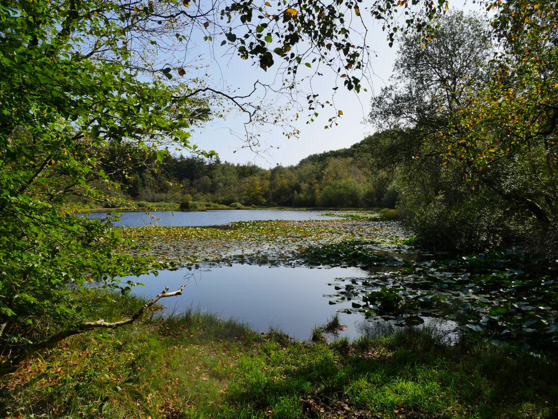
I diverted off the path to have a look at the lovely Parkgate Tarn.
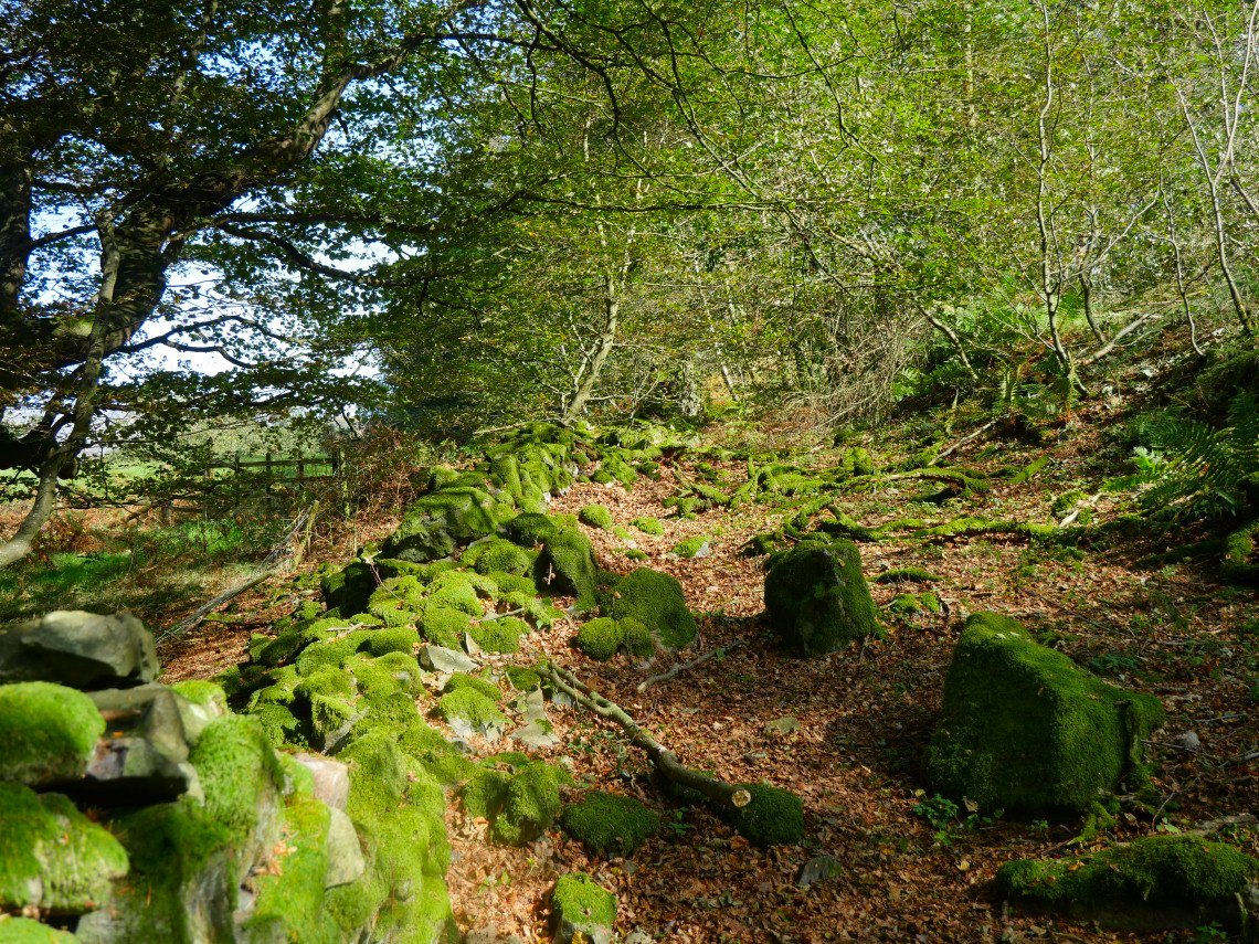
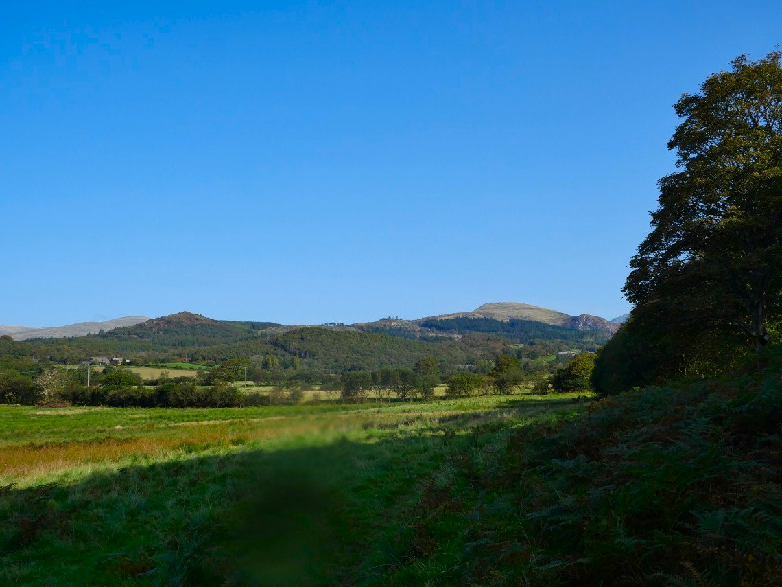
As it was quite warm it was really nice walking these shaded woodland paths. A section of the path near London Head was closed due to logging but as nobody seemed to be about I hurried across the closed section which was only a couple of hundred yards.
.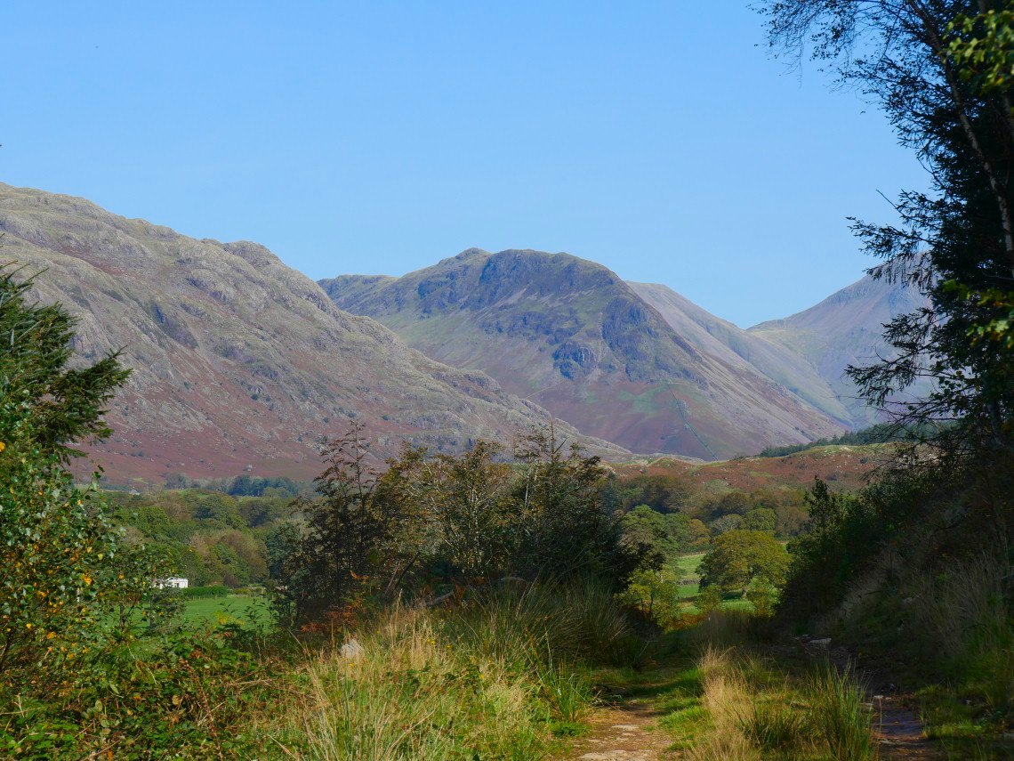
As you leave the forestry the Wasdale fells spring into view. This is Yewbarrow.
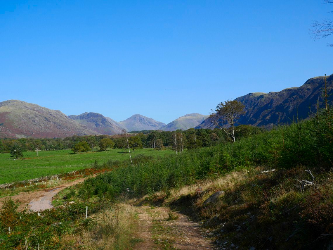
A wider view with Middle Fell ( where I hoped to camp ) on the left then Yewbarrow, Great Gable and Lingmell.
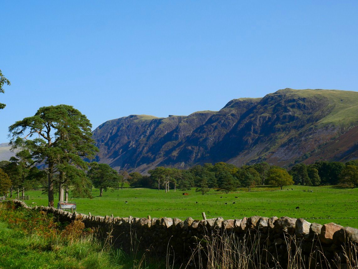
The Wastwater Screes seen from the path to Gill.
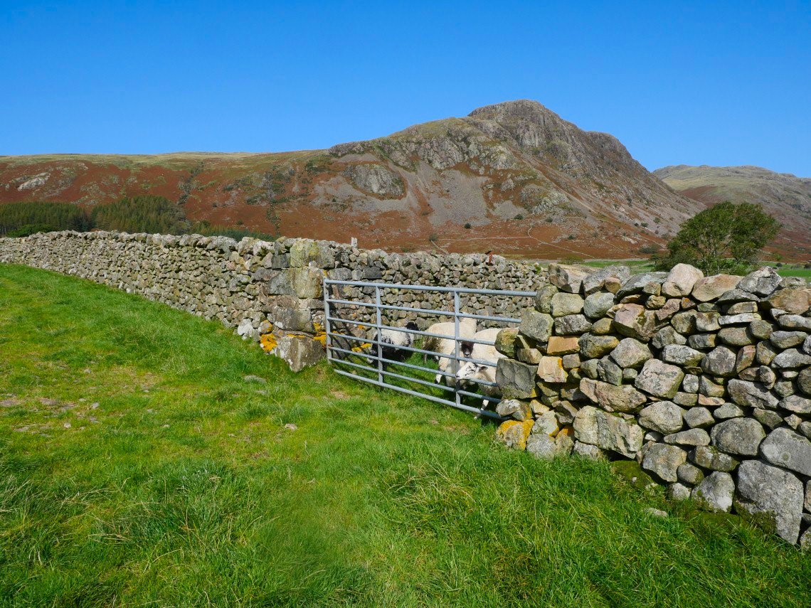
Up to now the walking has mainly been pretty level but soon I have to head uphill to Buckbarrow.
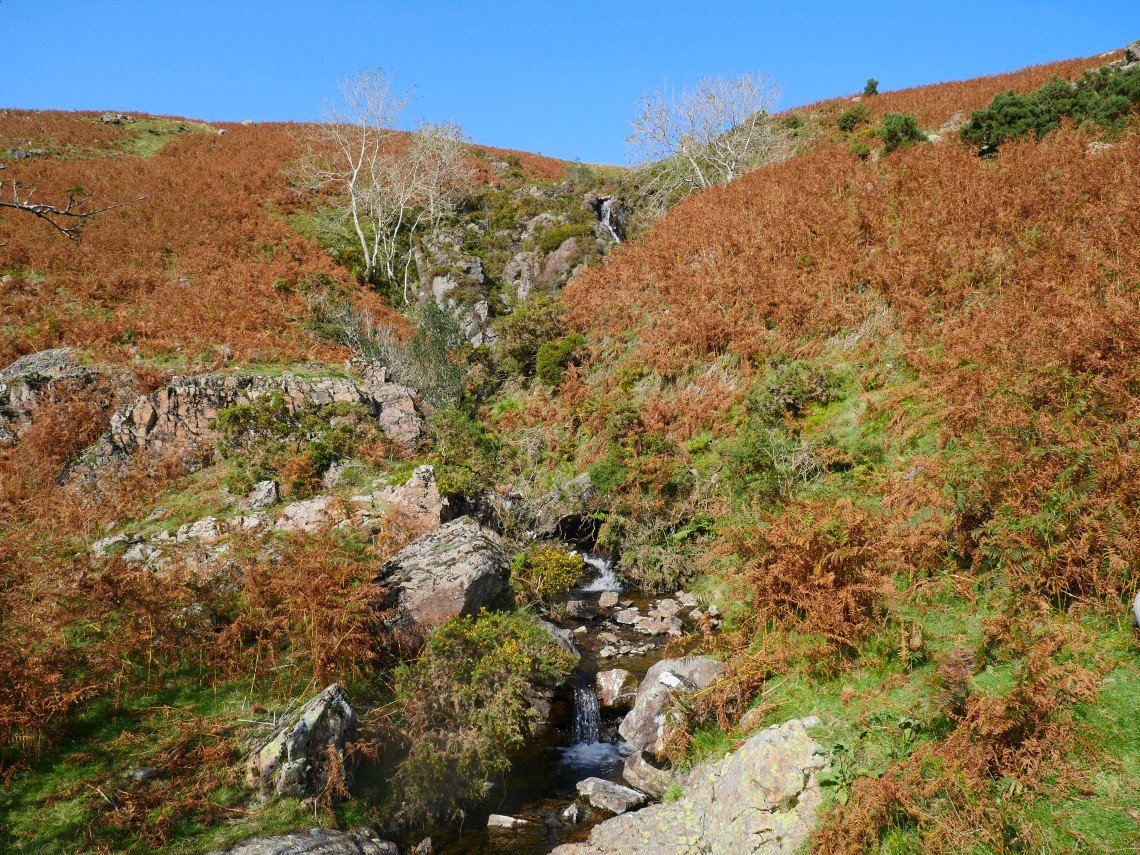
In it's lower reaches the steep path follows the lovely Gill Beck.
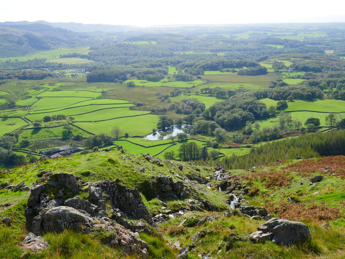
Looking back to the coast. Tosh Tarn below.
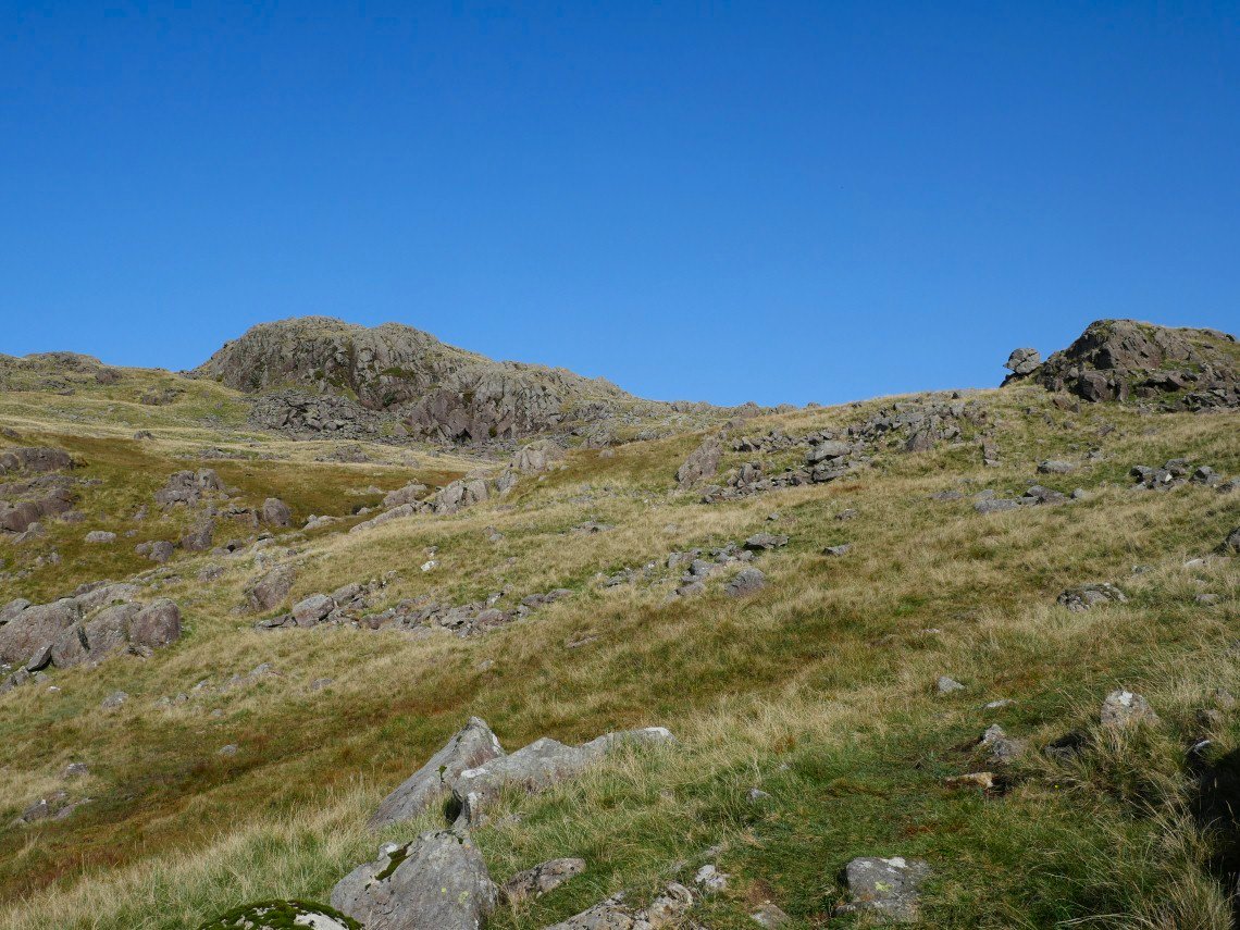
Approaching the summit now. The perched and split boulder mentioned by Wainwright is on the right. The ground just out off shot on the right gives better views of the Wastwater valley but it was really warm now so I wasn't keen to do any unnecessary walking.
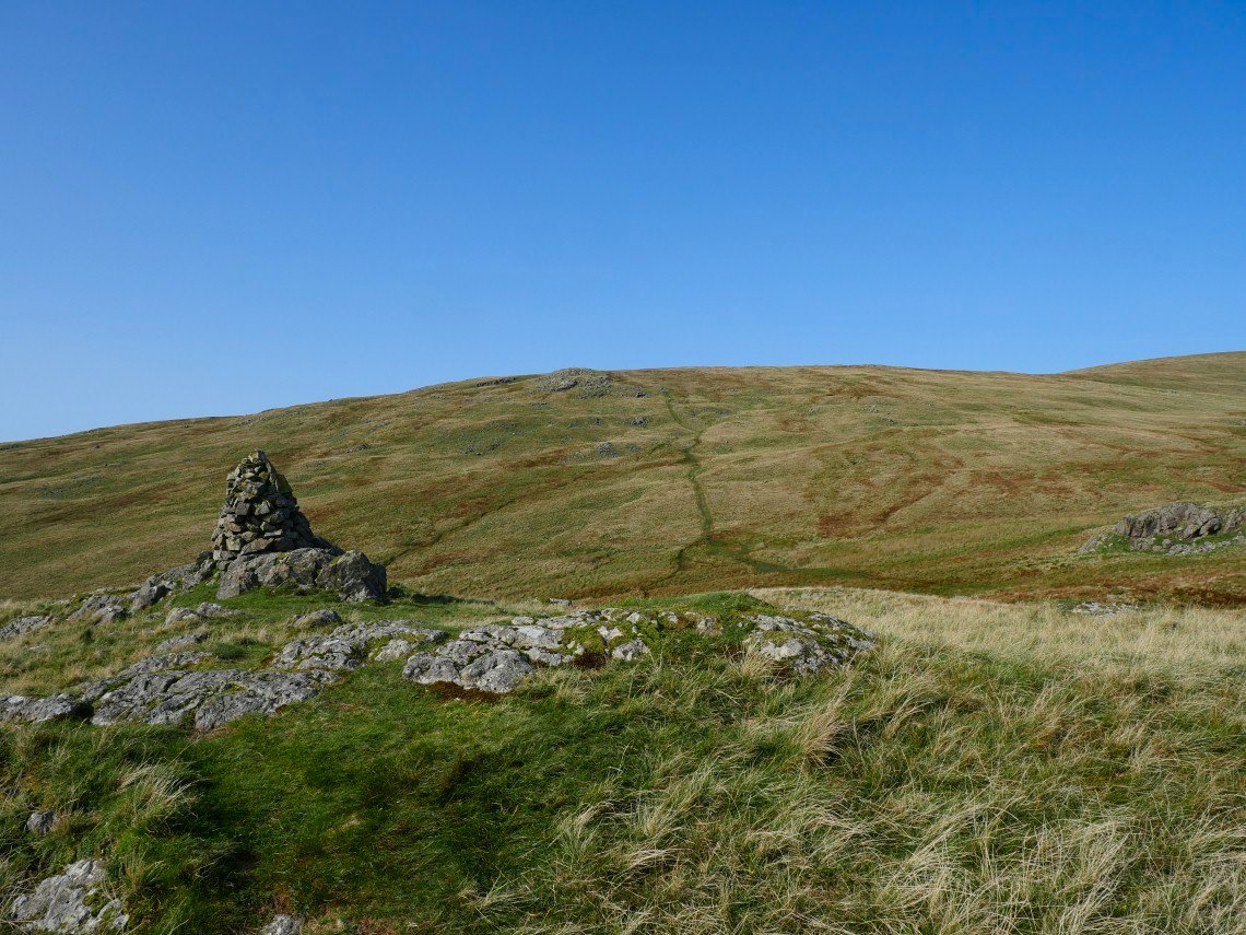
Especially as I still had the long plod up to Seatallen to tackle next. This is the cairn on Glade How with the path to Cat Beilds and the ridge to Seatallen clearly visible.
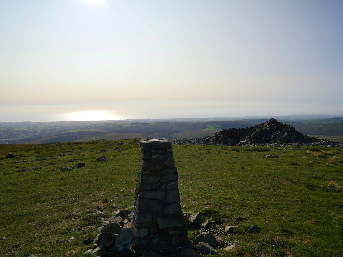
It seems a long way to Seatallen but It's not really steep so it's just a case of putting one foot in front of the other till you reach the top.
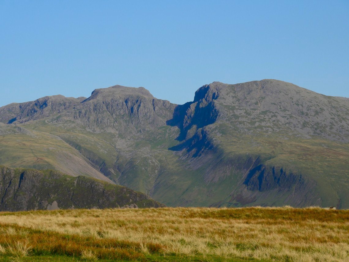
The giant wolf of Scafell casts his shadow as he hunts anyone climbing the pike wearing jeans or flip flops.
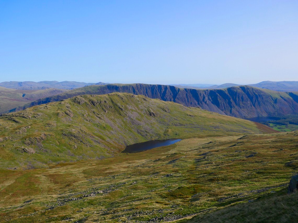
From Seatallen it's a steep descent to the boggy saddle below Middle Fell. Greendale Tarn is nestled beneath with the screes in the background.
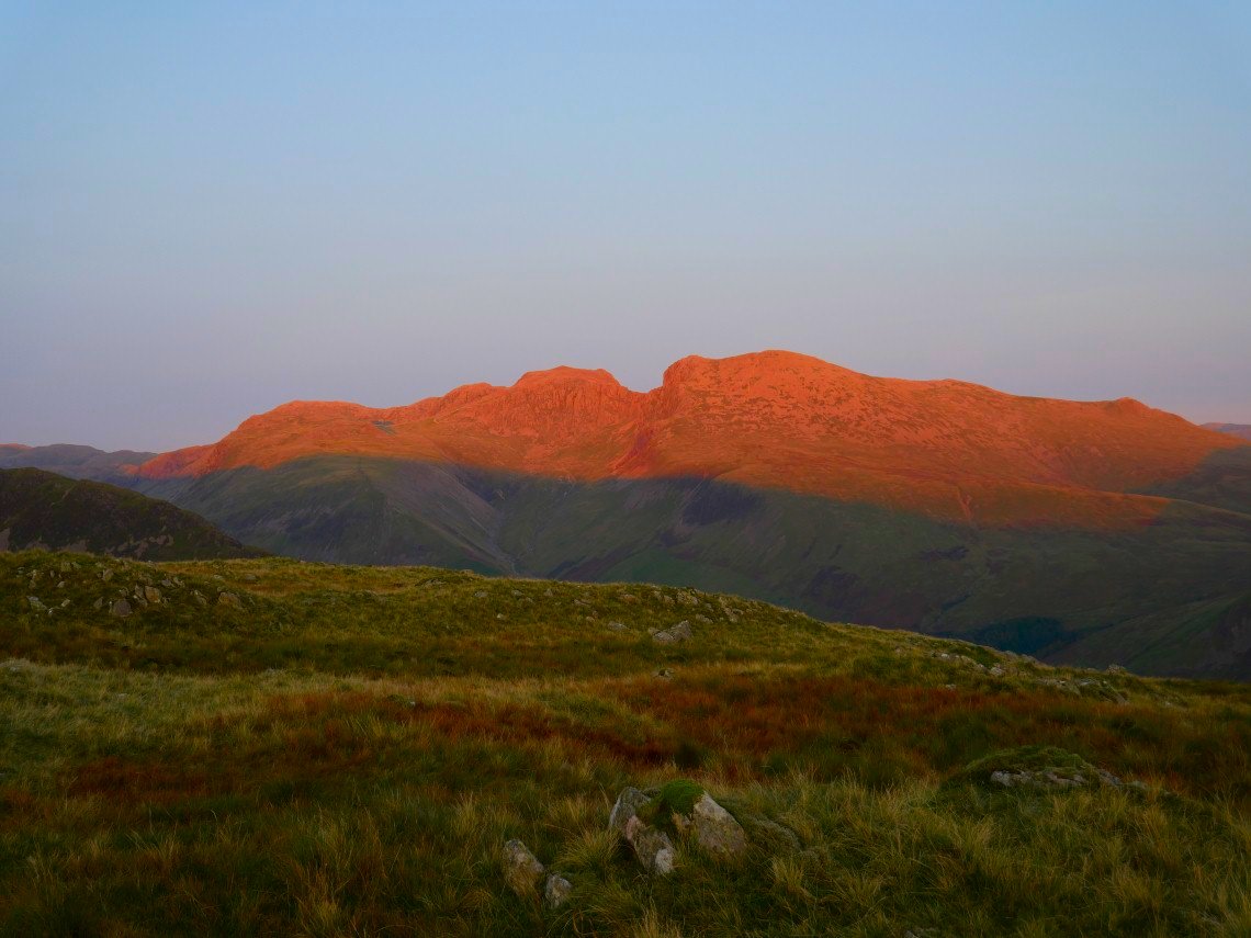
After collecting water I camp a below the top with a fine view of the Scafell range.
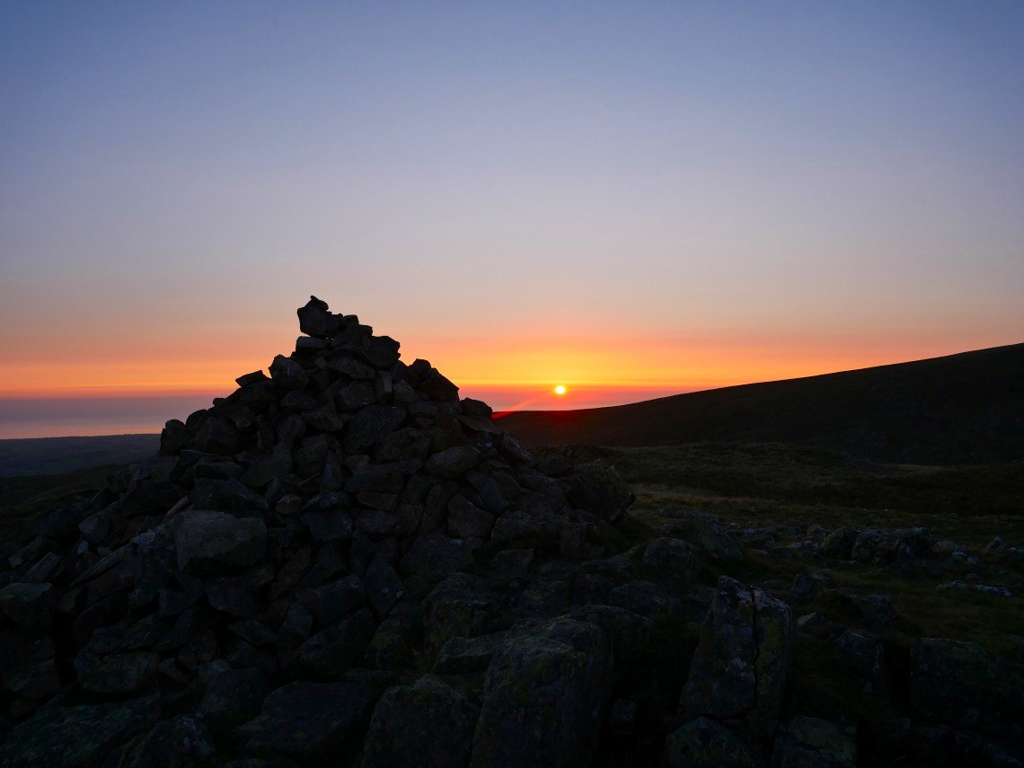
Later in the evening I have a walk up to the top as the sun drops into the Irish Sea.
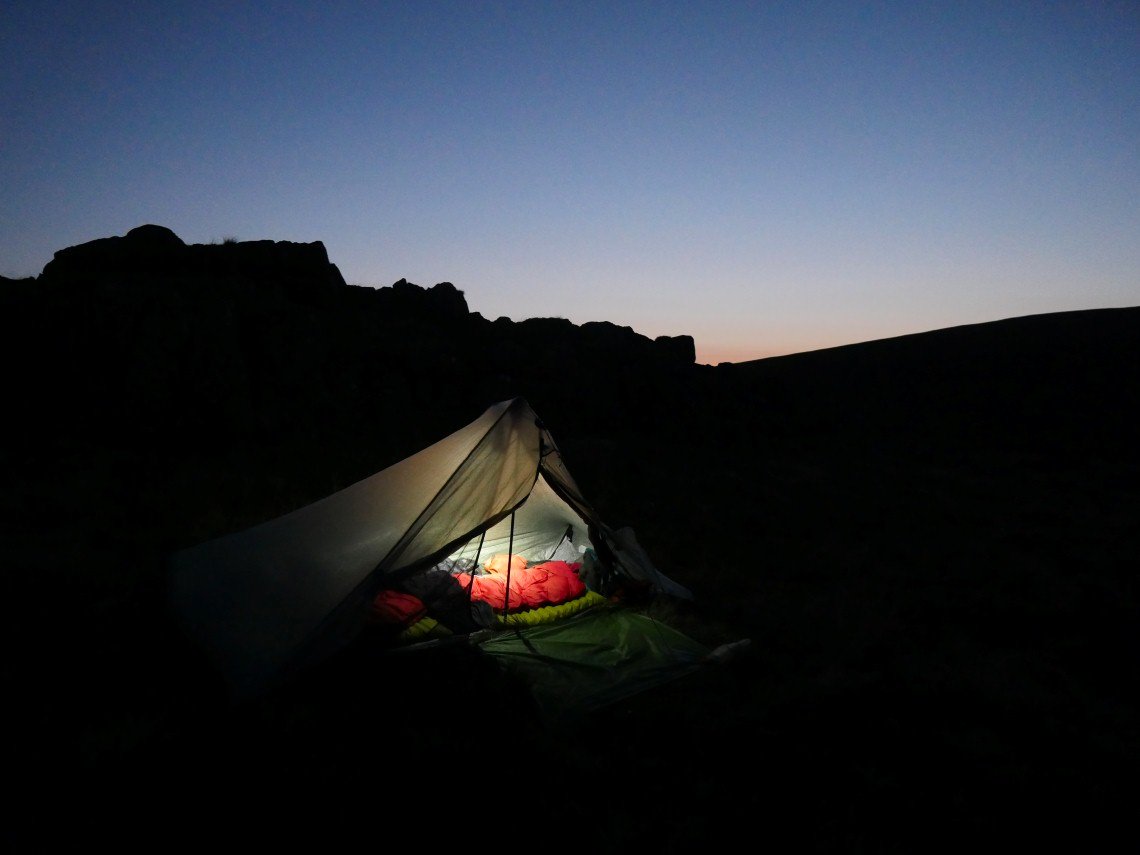
The night was so warm that I slept with both outer doors open. The stars were absolutely spectacular, I just wish I had the gear and know how to capture them.