WWW.KARLSWALKS.CO.UK
PICTURES AND TRIP REPORTS FROM MY WALKS IN THE ENGLISH LAKE DISTRICT
|
|
|
|
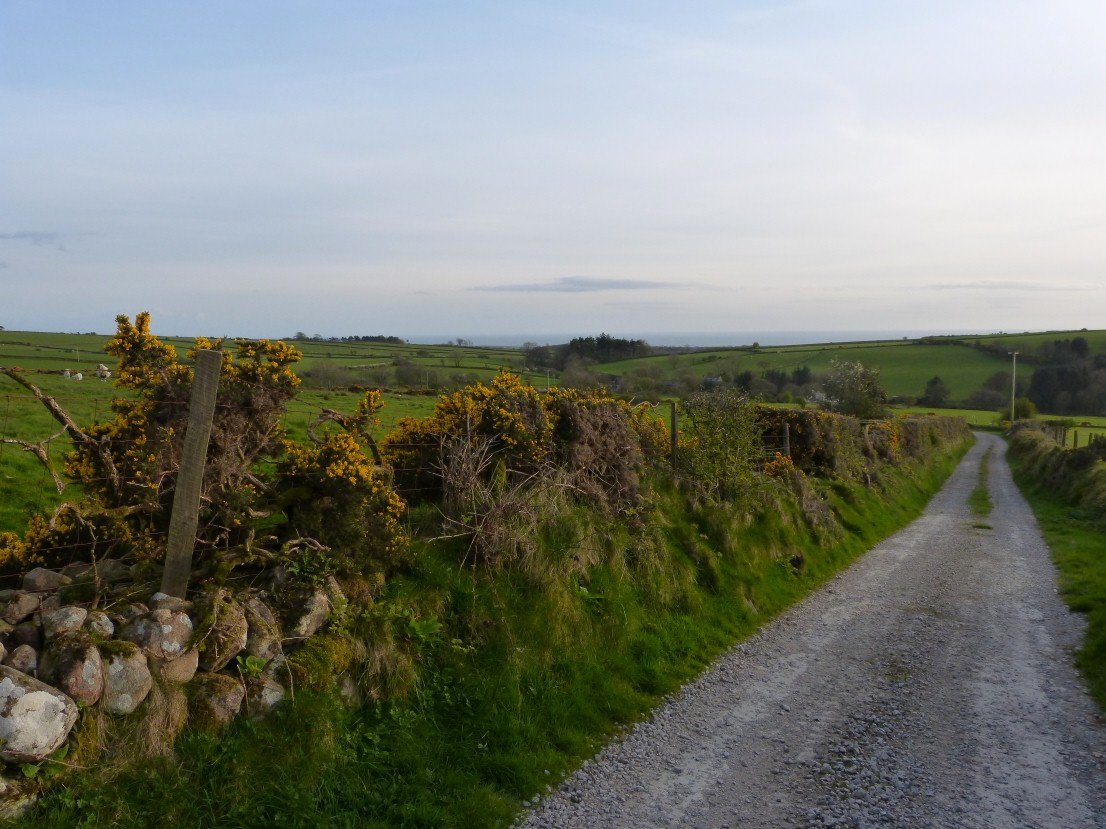
It was back to the Birkett bagging this Easter weekend. Sue was off to stay with Helen so I accepted her offer of a lift to the west coast and around seven pm on a fine evening she left me at the road end nr Ponsonby..
Looking westwards to the sea as I climb the gentle track heading for Ponsonby Fell.
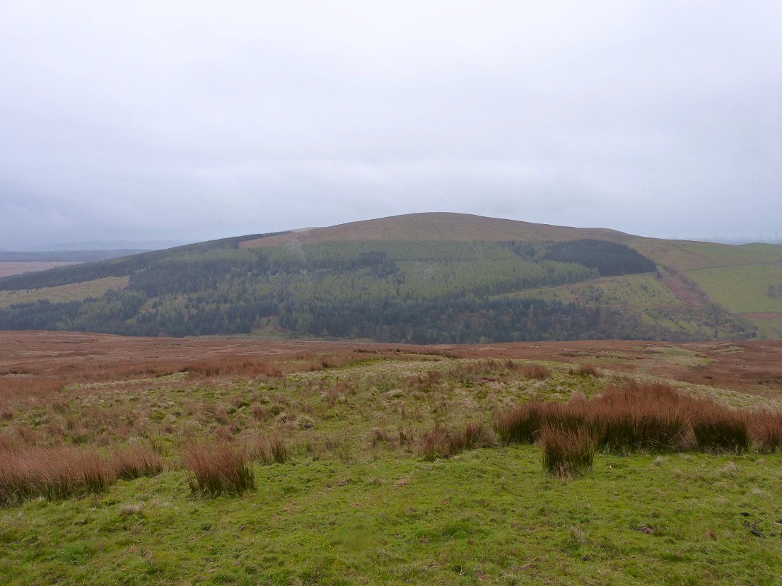
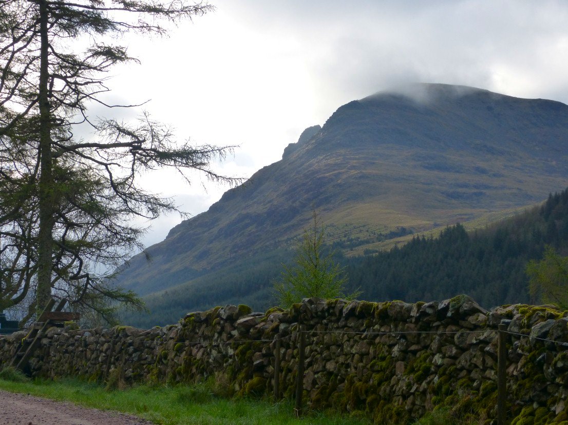
The main attraction of this grassy lump is the view of the high fells around Wasdale especially the gap of Mickledore between Scafell and Scafell Pike.
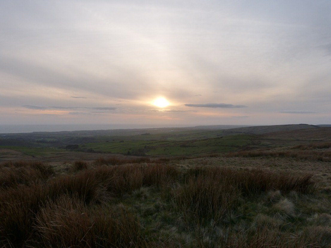
A nice evening for a stroll but I knew the weather for Sunday was forecast to be pretty miserable.
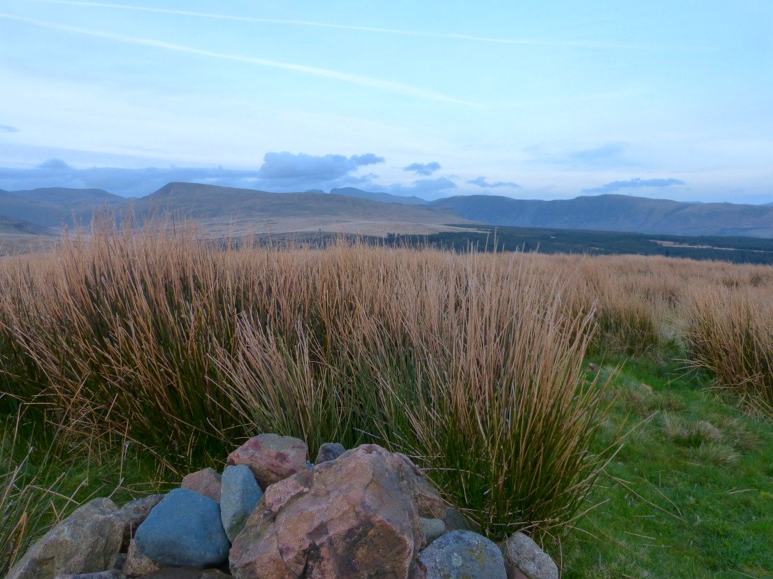
A very short down and up gets you to Stone Pike where the top is enclosed by a large sheepfold. Nice view of Black Combe and the Stainton fells from here.
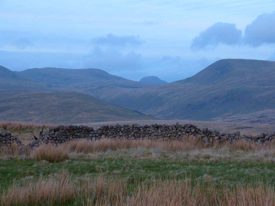
And rather unexpectedly Great Gable appears in the gap between Seatallen and Haycock.
.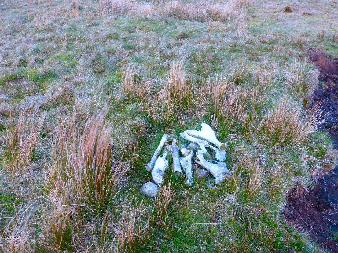
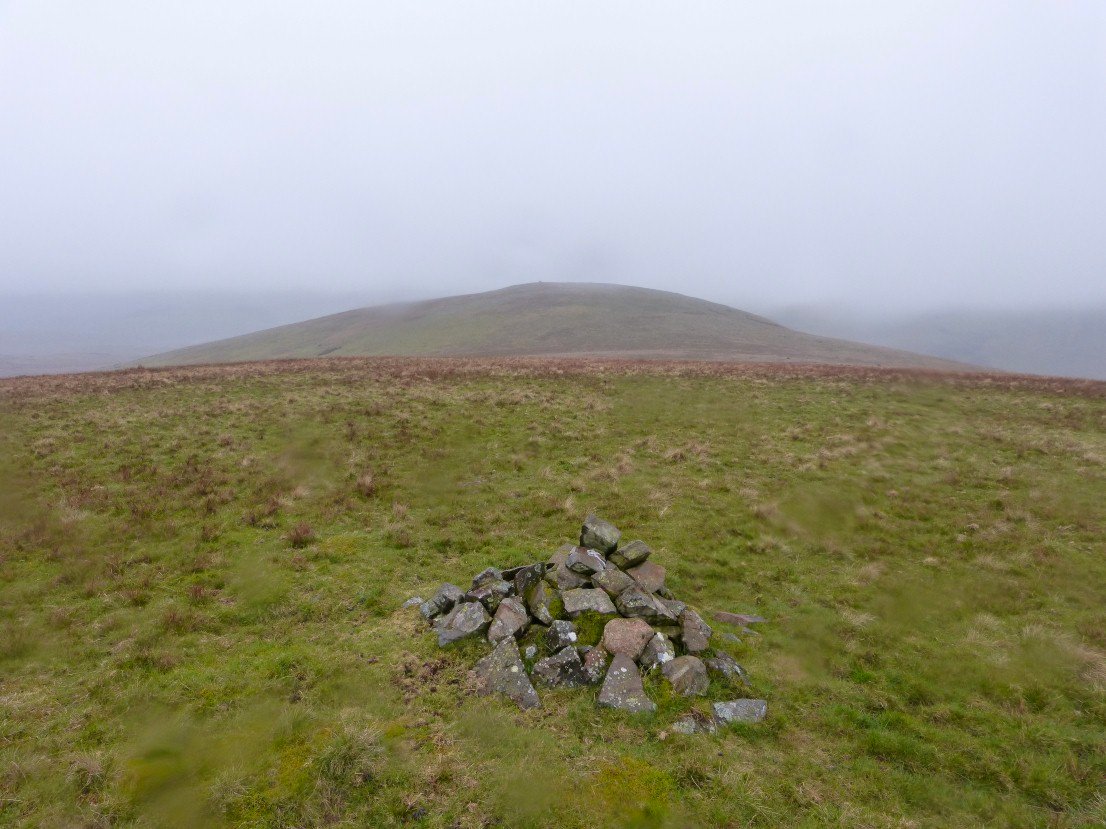
Another easy few minutes gets you to Swainside Knott who's main attraction is the grisly summit cairn
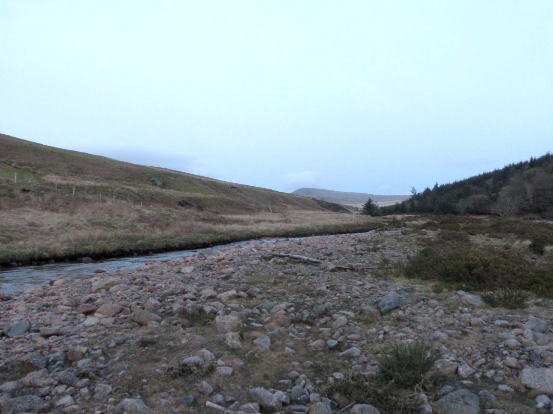
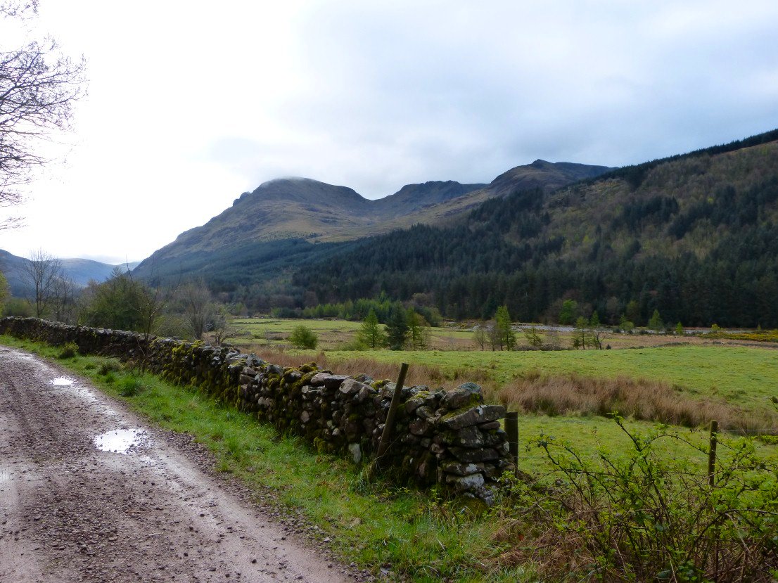
A steep drop down by Scalderskew wood was followed by a paddle across Worm Gill. That's Seatallen again in the distance.
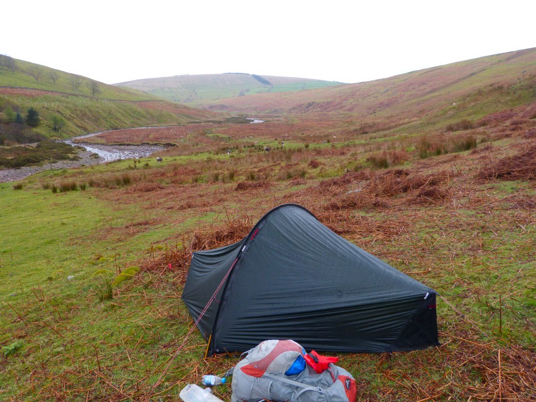
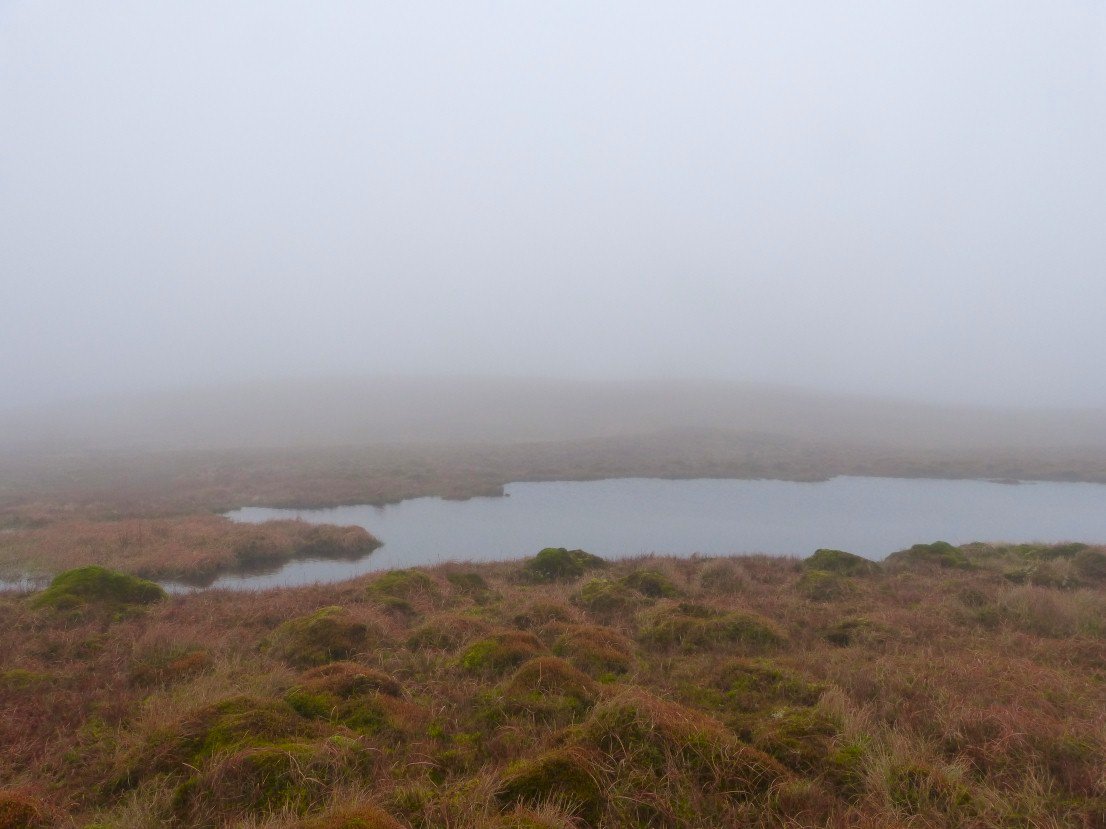
My pitch by Worm Gill. The forecast rain blew in around six AM and pretty much continued on and off all day.
Looking back to Swainson Knott and Scalderskew wood from the start of the long pull to Lank Rigg.
Clag as well as rain on Lank Rigg. I didn't linger.
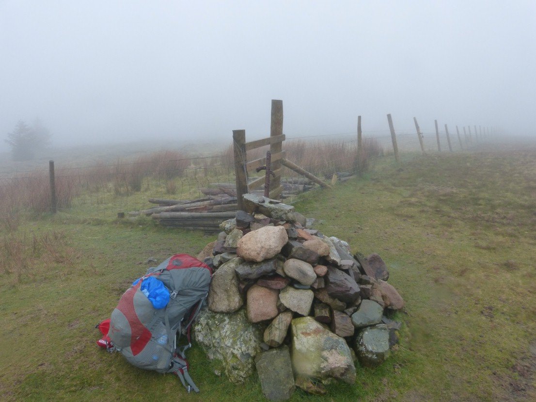
A compass bearing got me to Kinniside from Where I could see Latterbarrow. I had a period of really heavy rain from here so my camera stayed dry over Latterbarrow, down to another paddle this time across the Calder and up the steep climb to Swarth Fell and Burn Edge .I joined the road for a few hundred yards before heading straight up to Blakeley Raise.
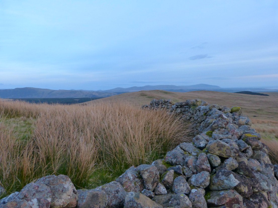
Blakeley Raise top It was down again to the forest road past Grike and then across the Hill to Crag Fell.
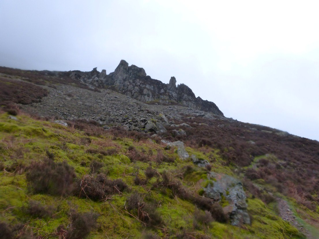
The rain slackened for a few minutes as I passed the Pinnacles on Revelin Crag.
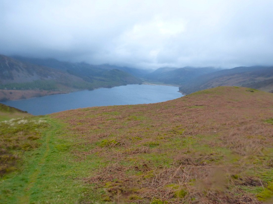
Ennerdale Water from Anglers Crag..
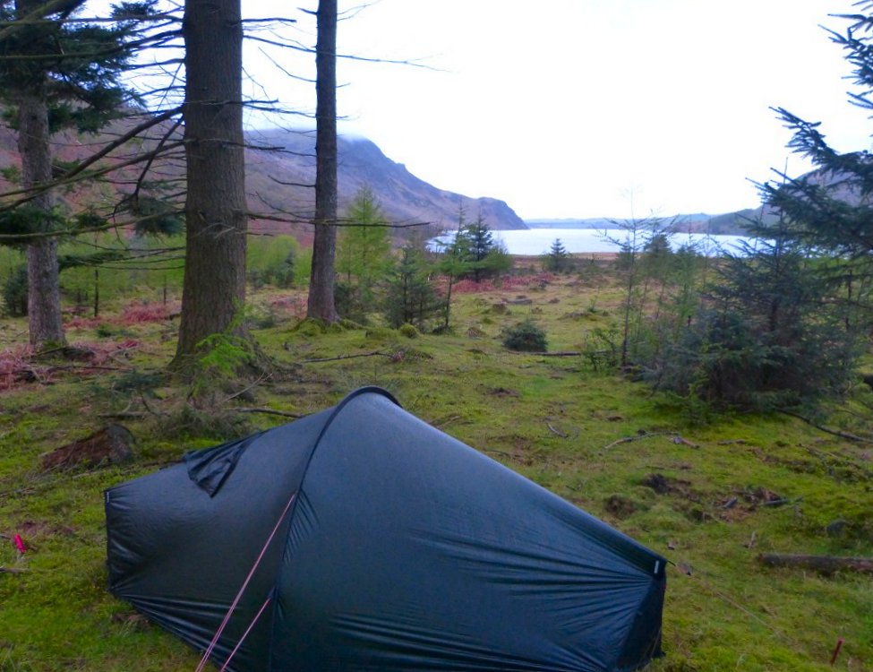
I don't usually camp this near to a popular path but to be honest I had enough for the day and wanted to get into dry clothes and have my tea.
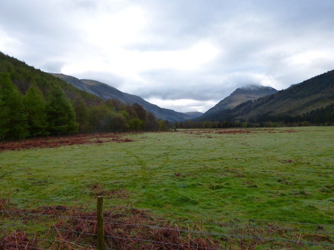
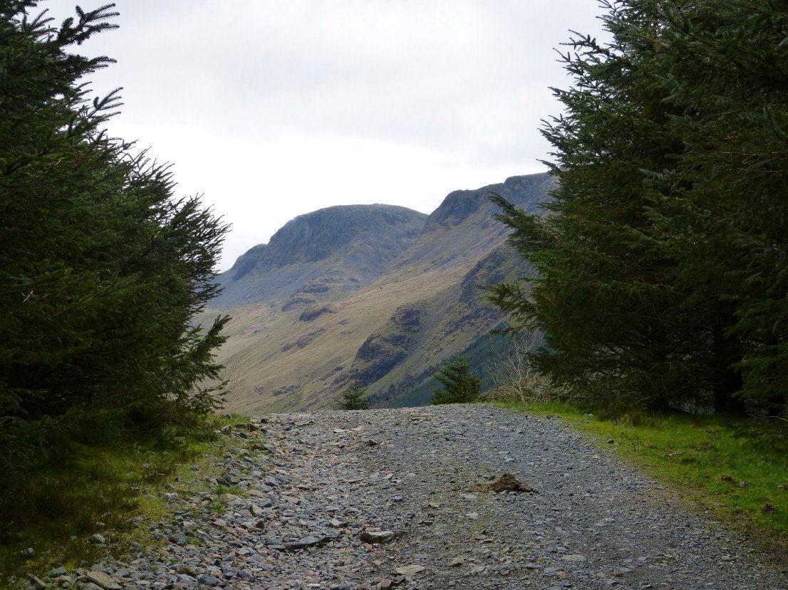
Although Monday started dull the day was set to be fine later. I had to be home at a reasonable time so set of to the bus stop at Gatesgarth Farm. This is looking along the valley to Pillar which has a little cloud cap..
Pillar rock appears as I walk along the forest road.
Pillar on the left then Black Crag and then the pointy top of Steeple.
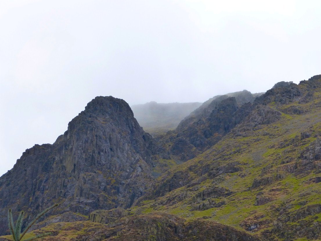
Close up of Pillar Rock.
Kirk Fell along the valley.
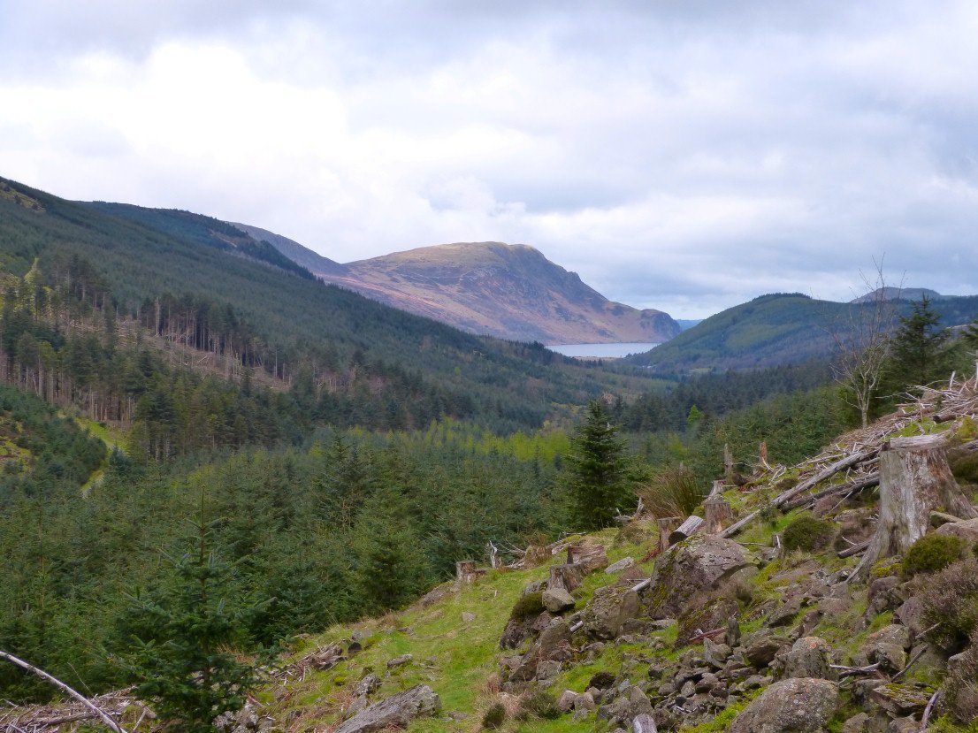
I took a new for me path slanting up through the cut down trees to Scarth Gap. Yesterdays descent route over Crag Fell and Revelin Crag is lit by the morning sun..
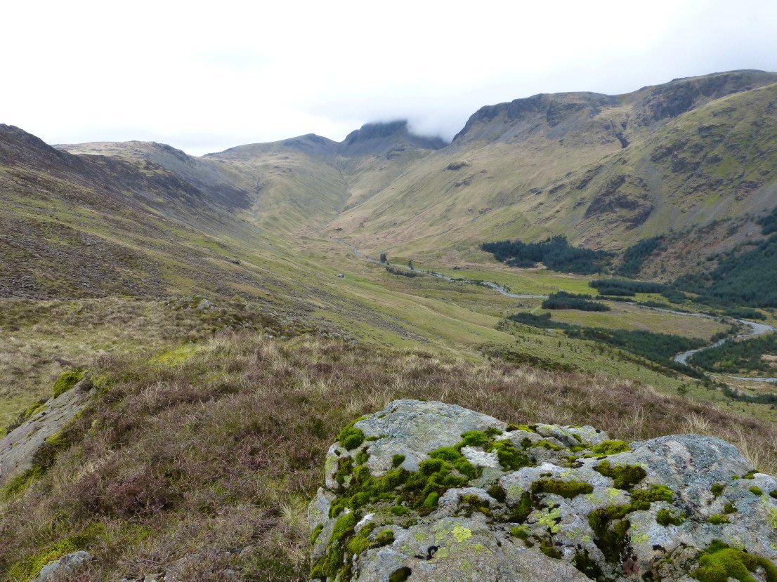
The head of the valley with Gable in cloud.
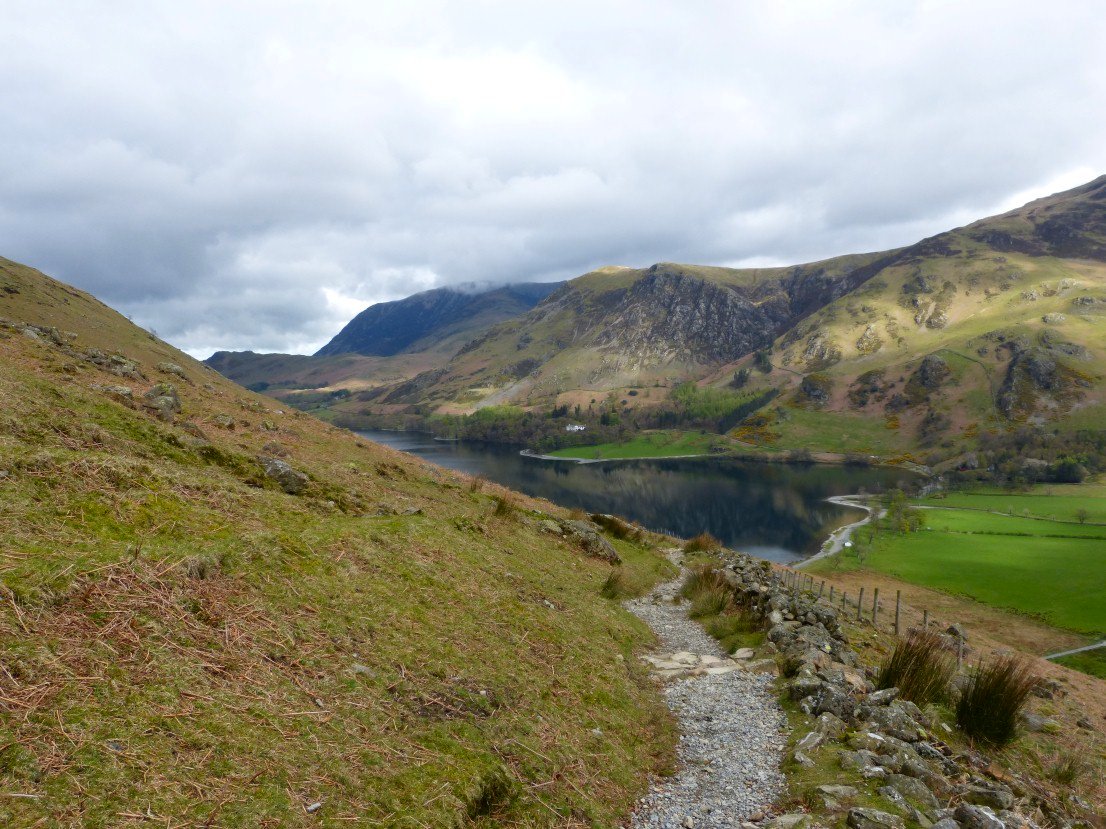
Lovely Buttermere and the fells above from the drop down Scarth Gap.
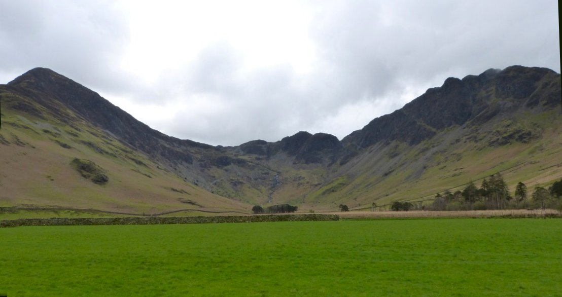
Finally a wide shot of Fleetwith Pike on the left and Haystacks. My timing was out as the bus passed as I was walking to the farm but as they say it's an ill wind that blows no good as the farmer was just opening his snack cabin so the wait for the next bus was spent with coffee, chocolate and ice Cream.