WWW.KARLSWALKS.CO.UK
PICTURES AND TRIP REPORTS FROM MY WALKS IN THE ENGLISH LAKE DISTRICT
|
|
|
|
A few pictures from a couple of outings in December
Our walk on the 17th was cut short by the weather, we had intended to climb Blencathra but strong gusting wind and hail.changed our minds so we had a walk over Souther Fell and back along the gated road to Scales
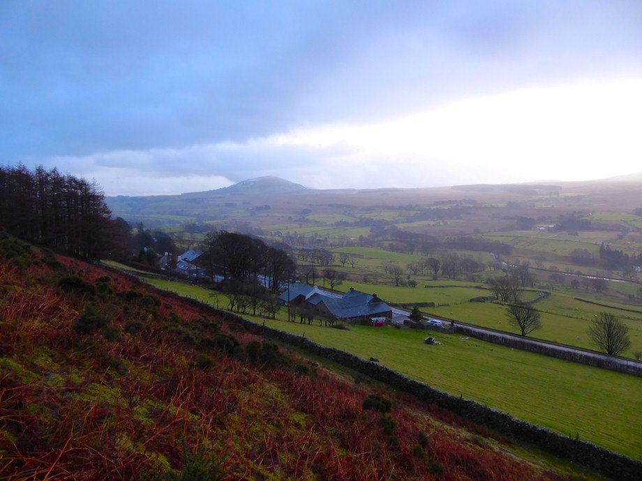
A fairly clear day as we left the road and climbed behind Scales farm Great Mell Fell in the distance.
Clough Head and all the higher fells are in cloud
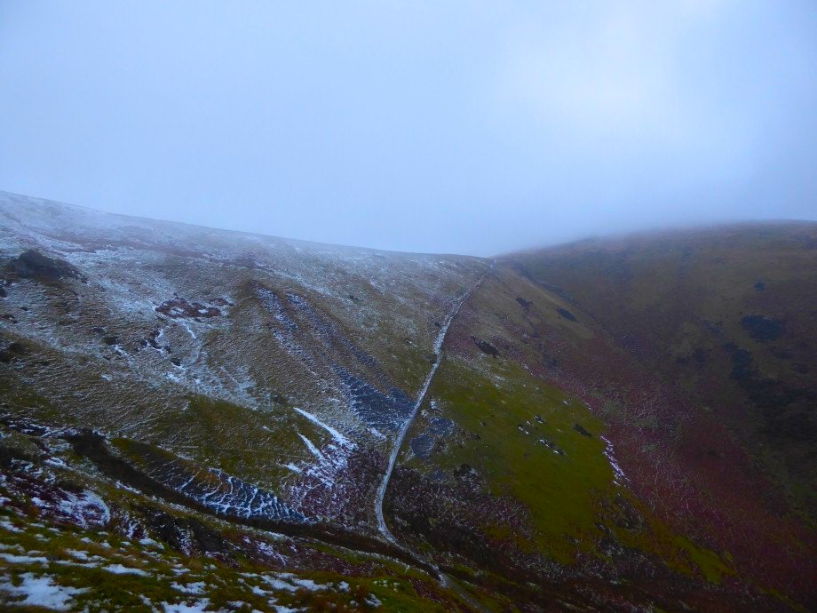
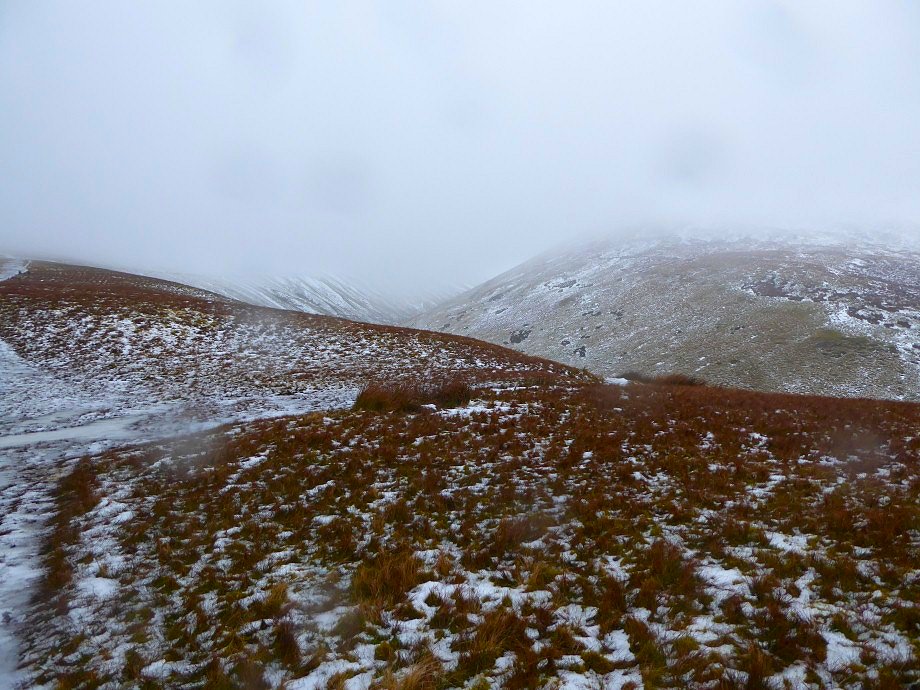
Within a few minutes the weather turned very wintery. This is locking across Mousthwaite Comb
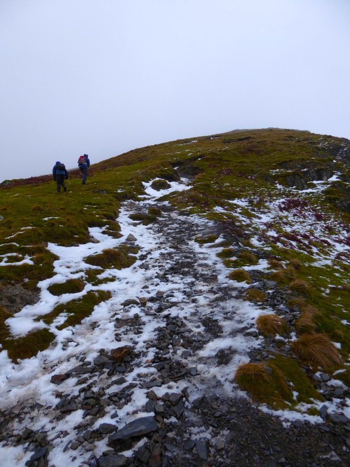
Even with spikes on we didn't fancy the narrow rocky path above Mousthwaite so we cut across the grassy hillside and joined the path further along.
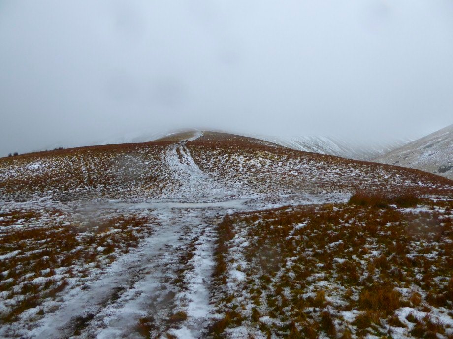
The weather had closed in even more so we decided to scrap Blencathra and head for Souther Fell instead. Thats the path heading up Scales Fell
A look along the valley of the Glenderamackin.
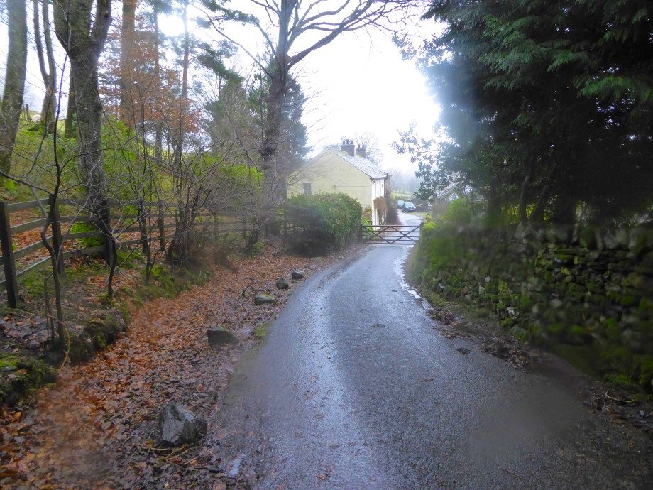
All over Souther we were blown and buffeted so we were glad to reach the shelter of the lane which runs along the length of the fell and contains a couple of lovely little hamlets, this is Southerfell. We adjourned to the pub at Scales where I'm not sure they were that pleased to have us dripping water all over their carpets but they did serve up a cracking hot chocolate. We did about 5.5 miles with 1500 ft ascent
We were hoping for a longer and higher walk today to make the most of the beautiful weather and the snow covered fells but a series of minor domestic crisis had left us with only the afternoon free so we decided to bag the Birkett of Birch Fell and also climb Gummer's How again which I've not done for a few years
.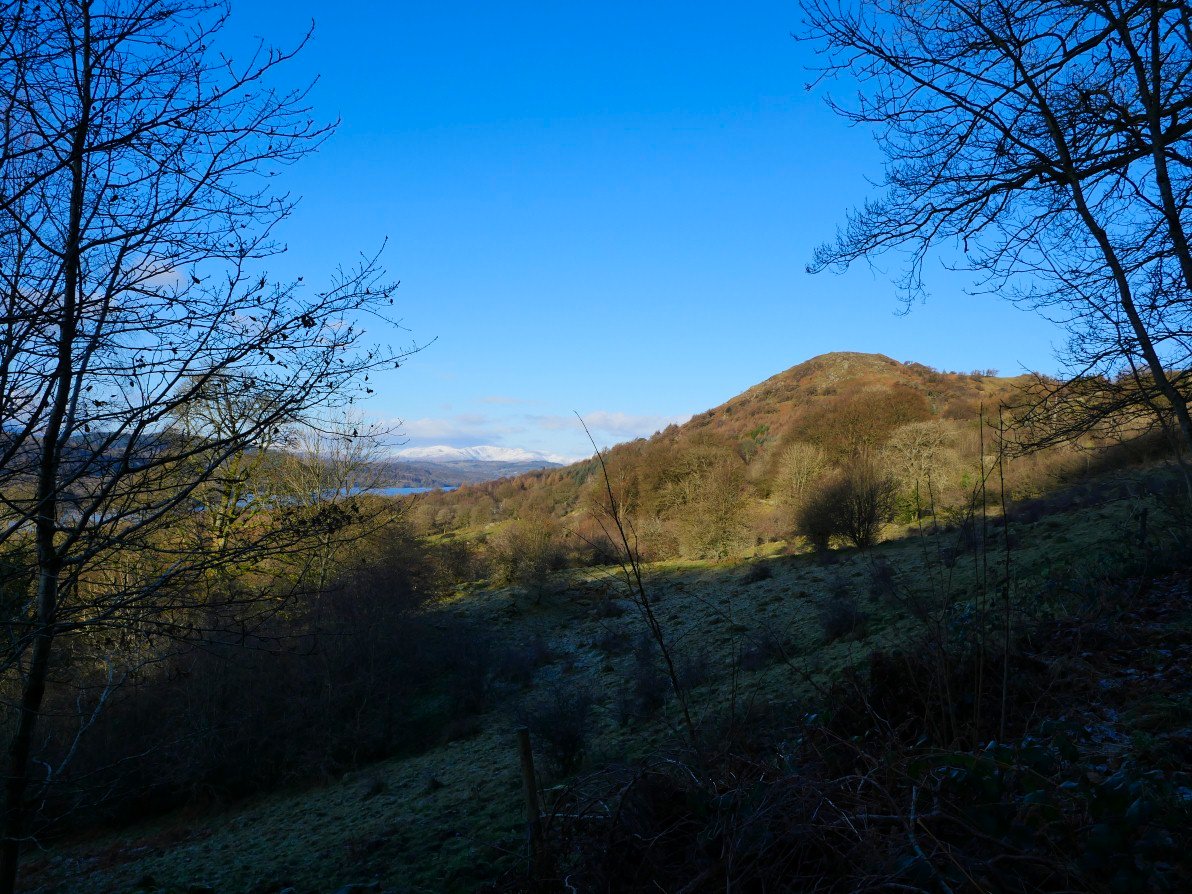
We parked at the bottom of the hill at Fell Foot thinking the road might freeze later, so we had a bit of a steep road to walk up but the views kept us entertained. This is Gummer's How..
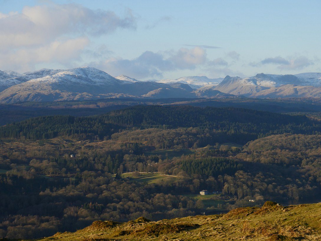
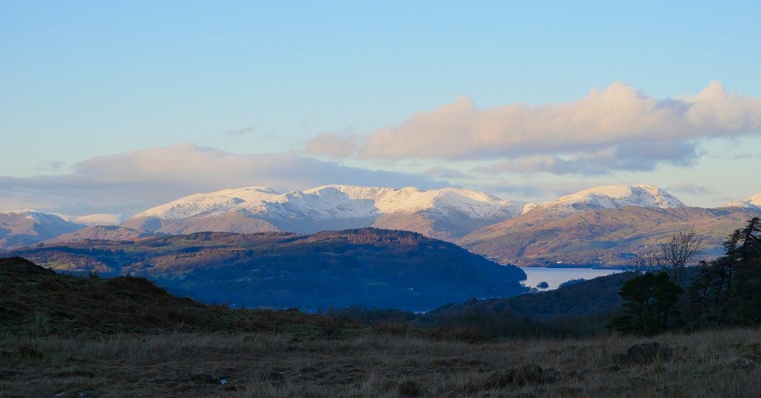
And this is the Fairfield group with the Helvellyn ridge to the left and even Lonscale fell can just be seen faintly in the distance to the right of the steep slopes of Steel Fell.
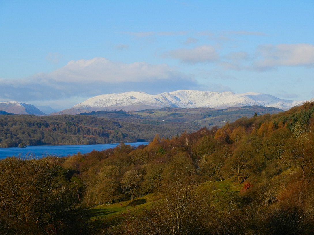
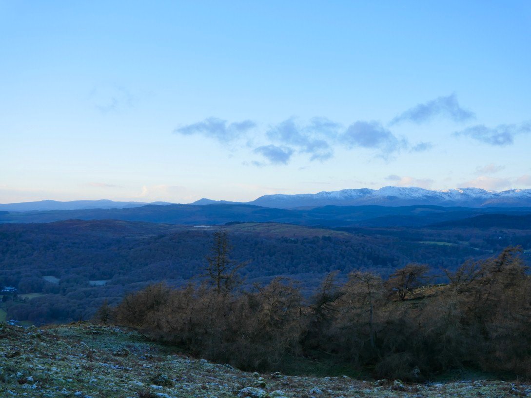
The Coniston Fells above Windermere.
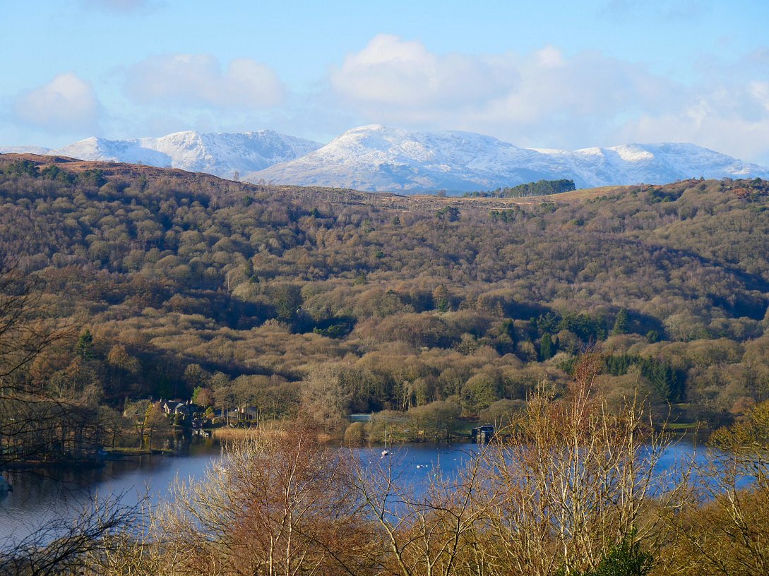
Lakeside with Finsthwaite Heights above.
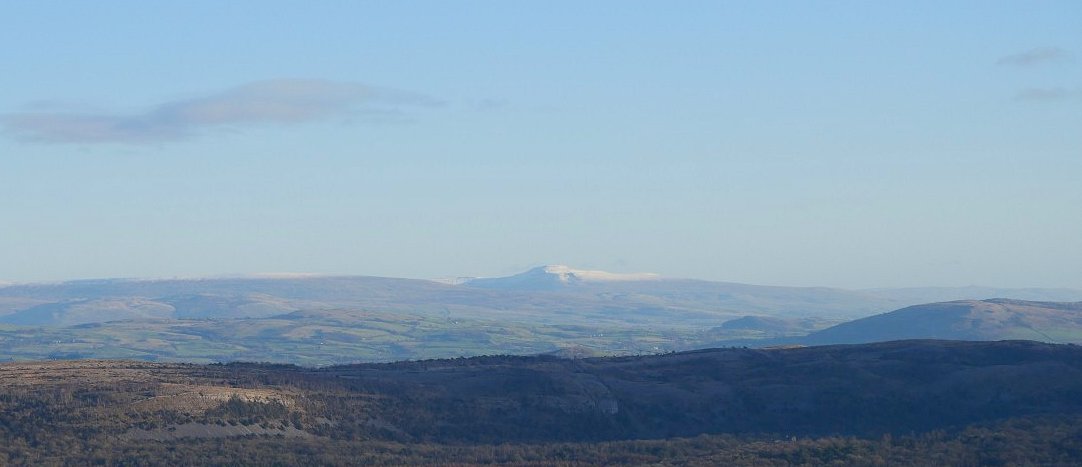
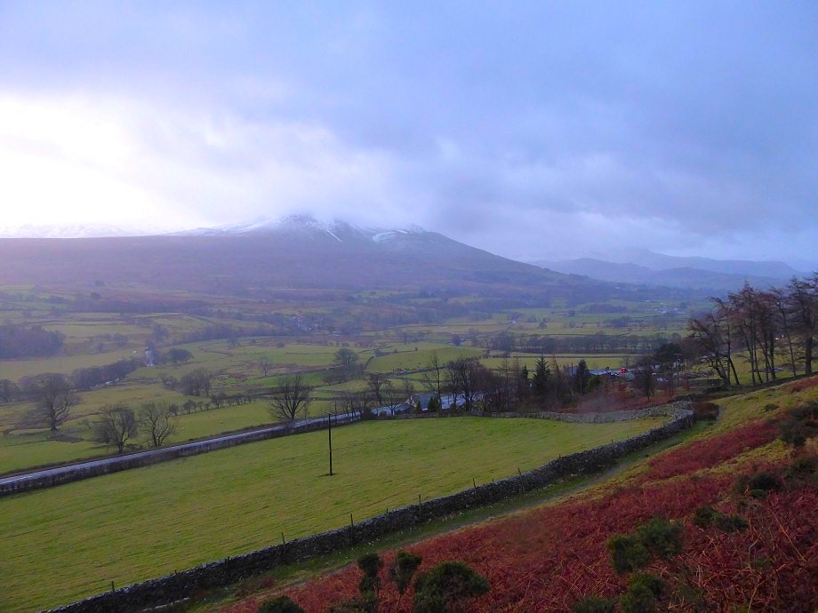
I think this may be Ingleborough.
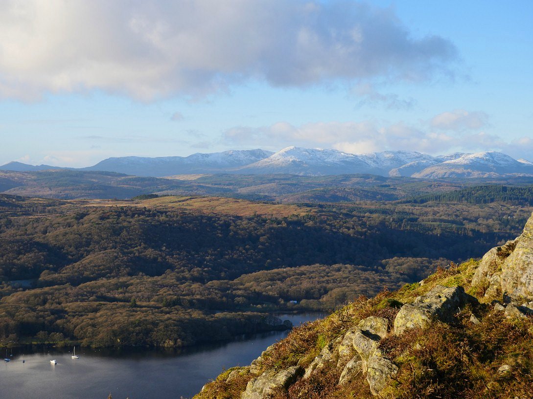
The Coniston fells again from the climb to Gummer's How.
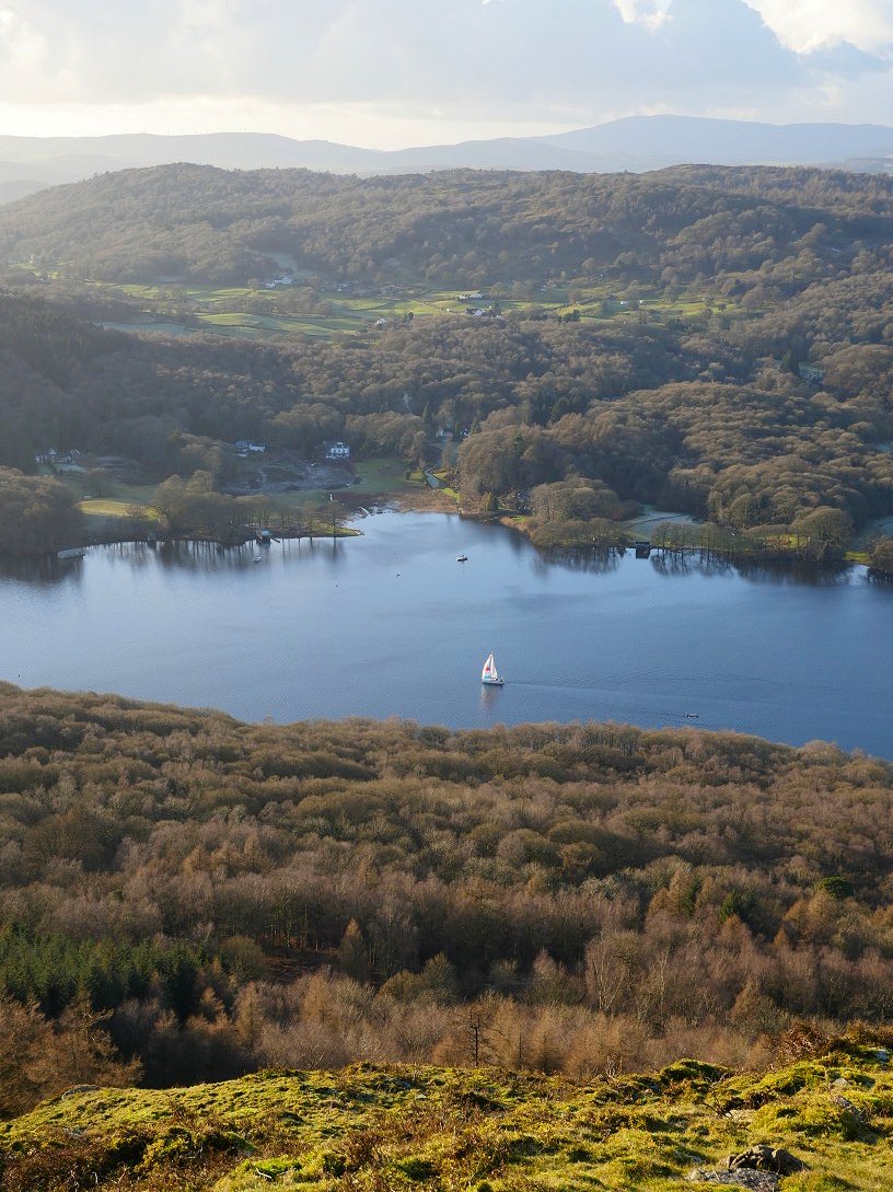
Sail boat on Windermere.
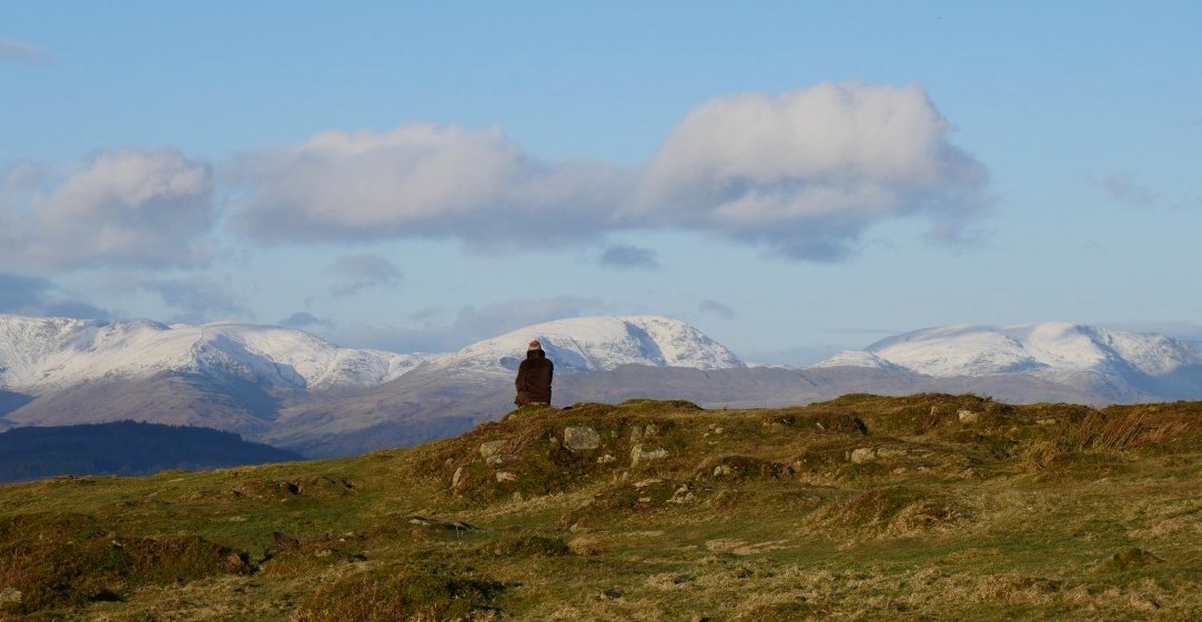
That really is a seat with a view
Looking a bit further around to the north brings a view of the Langdale Pikes and Bowfell
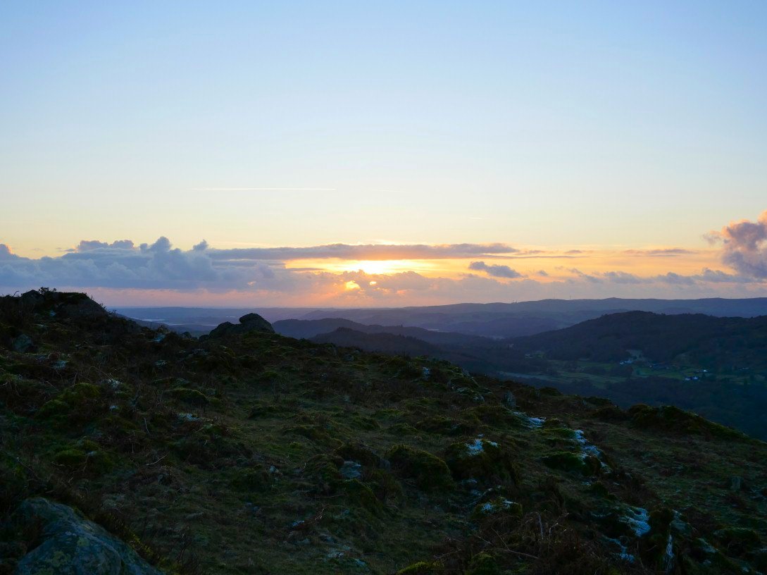
The distinctive mountain shape of Caw seen away to the south west. We had started out at 1.30 so it wasn't long before the light started to fade
The Fairfield Horseshoe stats to catch the setting sun.
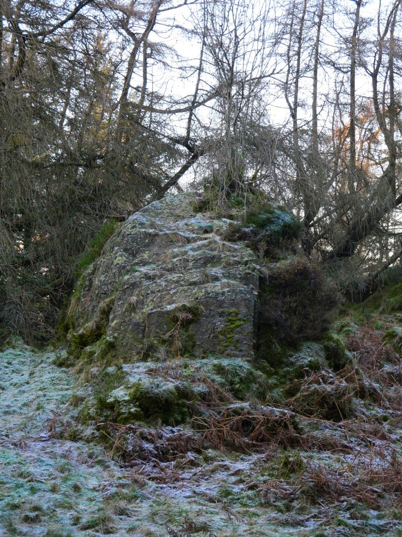
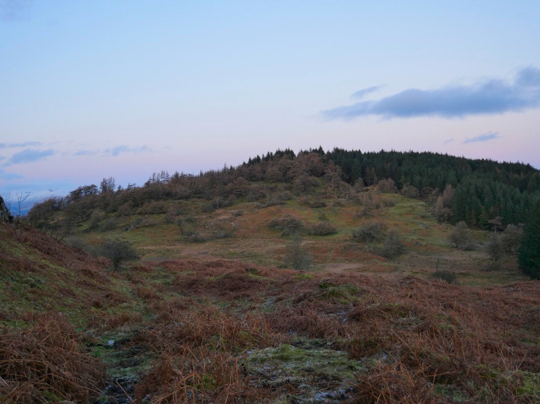
We took a harder than necessary route to climb Birch Fell which included bogs which were not as frozen as I first thought and an electric fence which livened me up. I've seen pictures of the rock with a tree which marks the top of Birch Fell and on reflection I'm not sure this is it but if it isn't then it's close enough and I'm declaring Birch Fell bagged..
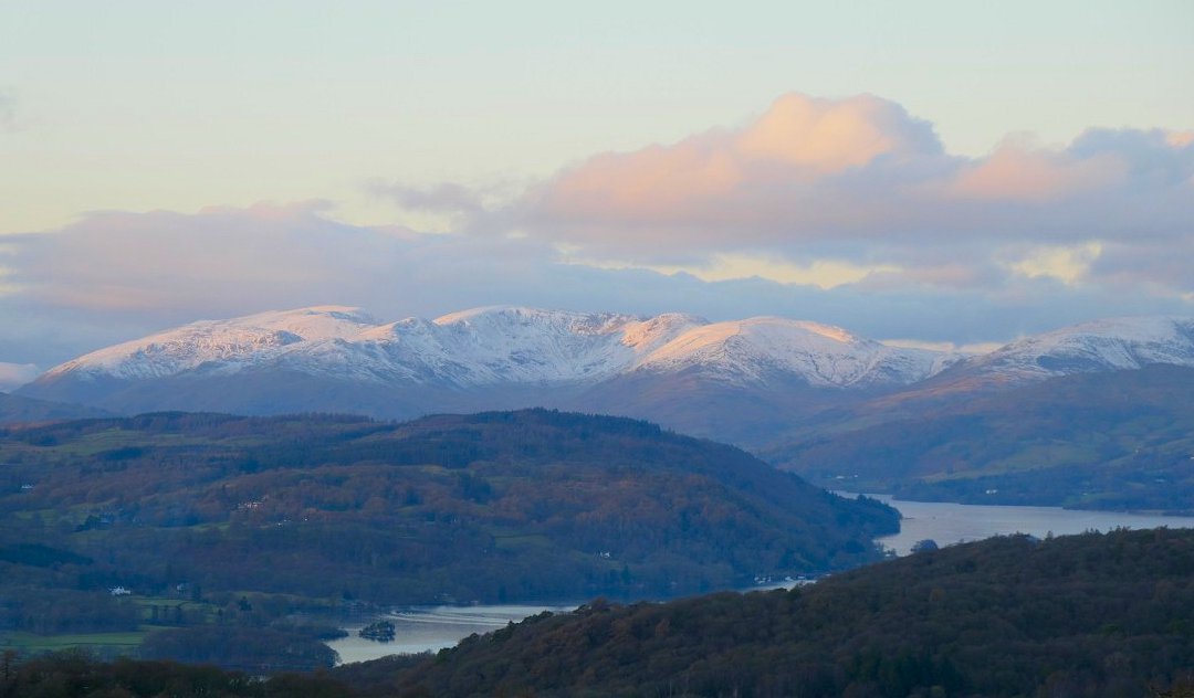
We found a much more straightforward way down which by passed the worst of the bog and any electric fences so I had time to zoom in to the Fairfield group
We were hopeful of some nice sunset views but the cloud rolled in.
Birch Fell from our path around the flank of Gummer's How.
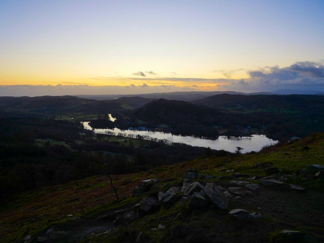
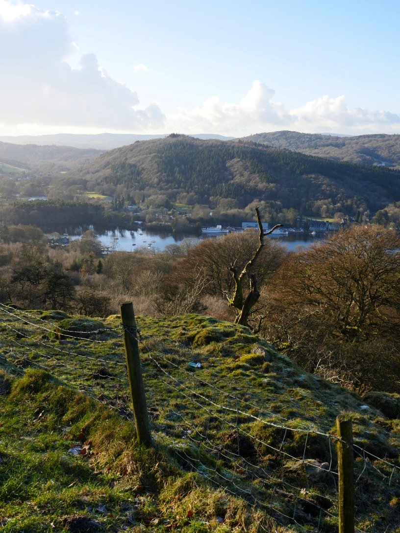
Windermere in the last of the light. We covered 5.5 miles with 1250 ft ascent