WWW.KARLSWALKS.CO.UK
PICTURES AND TRIP REPORTS FROM MY WALKS IN THE ENGLISH LAKE DISTRICT
|
|
|
|
Those dull rainy days in Autumn have been forgotten now as we again had blue skies and sunshine, although there wasn't much heat in the sun and the wind was bitingly cold.
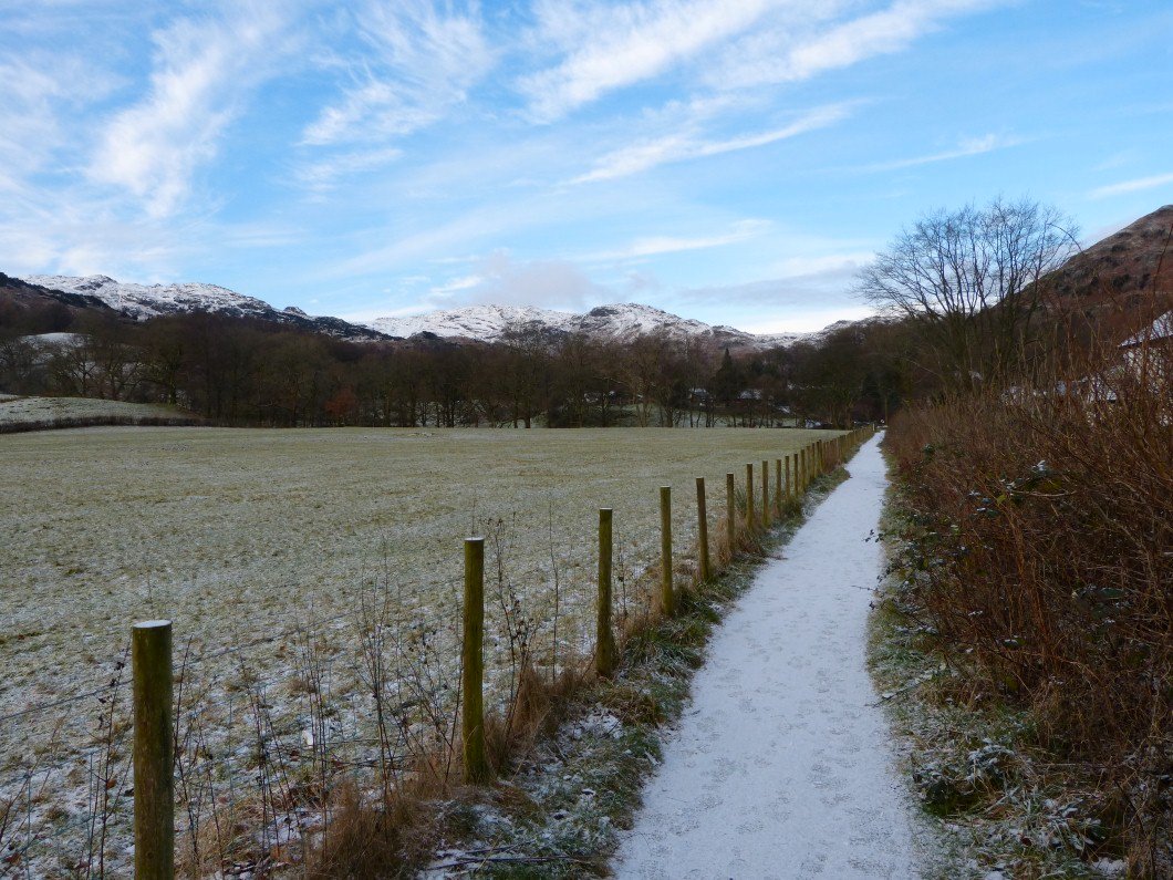
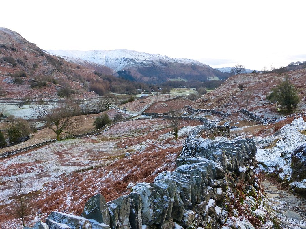
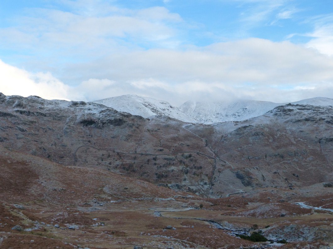
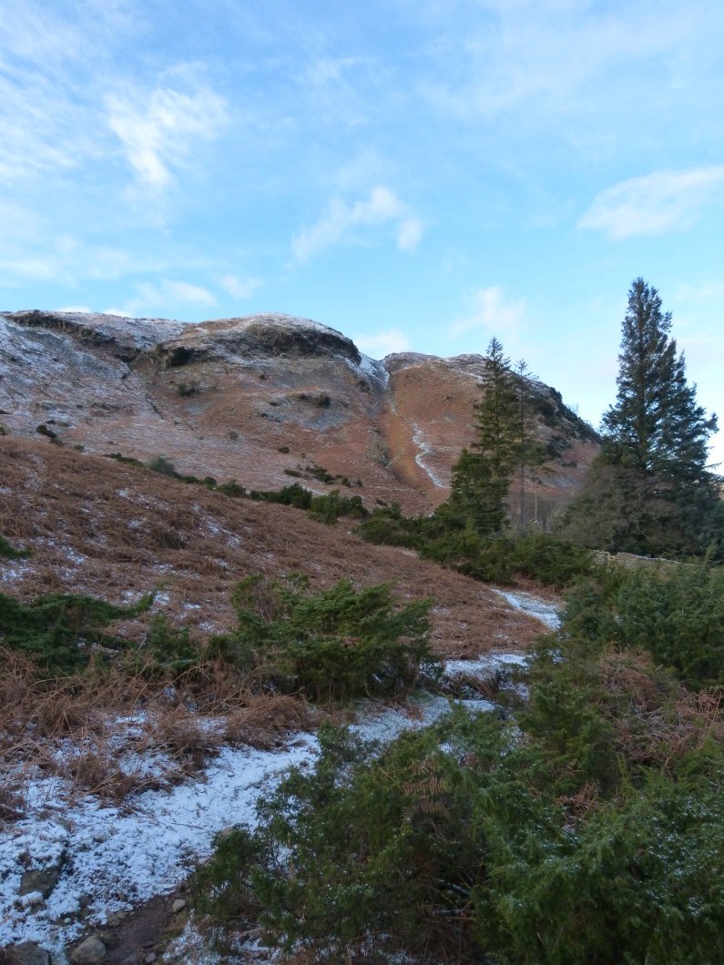
Looking up to Tarn Crag from the permissive path by Easedale road.
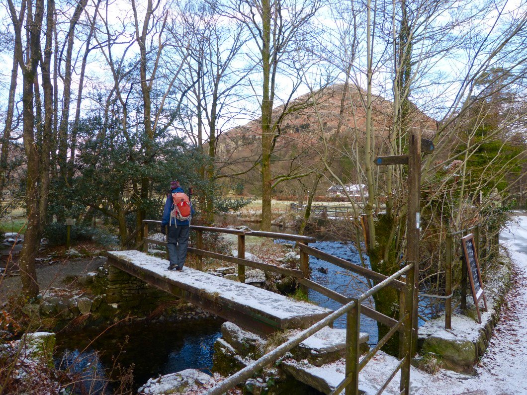
Helm Crag through the trees from the bridge over Easedale Beck.
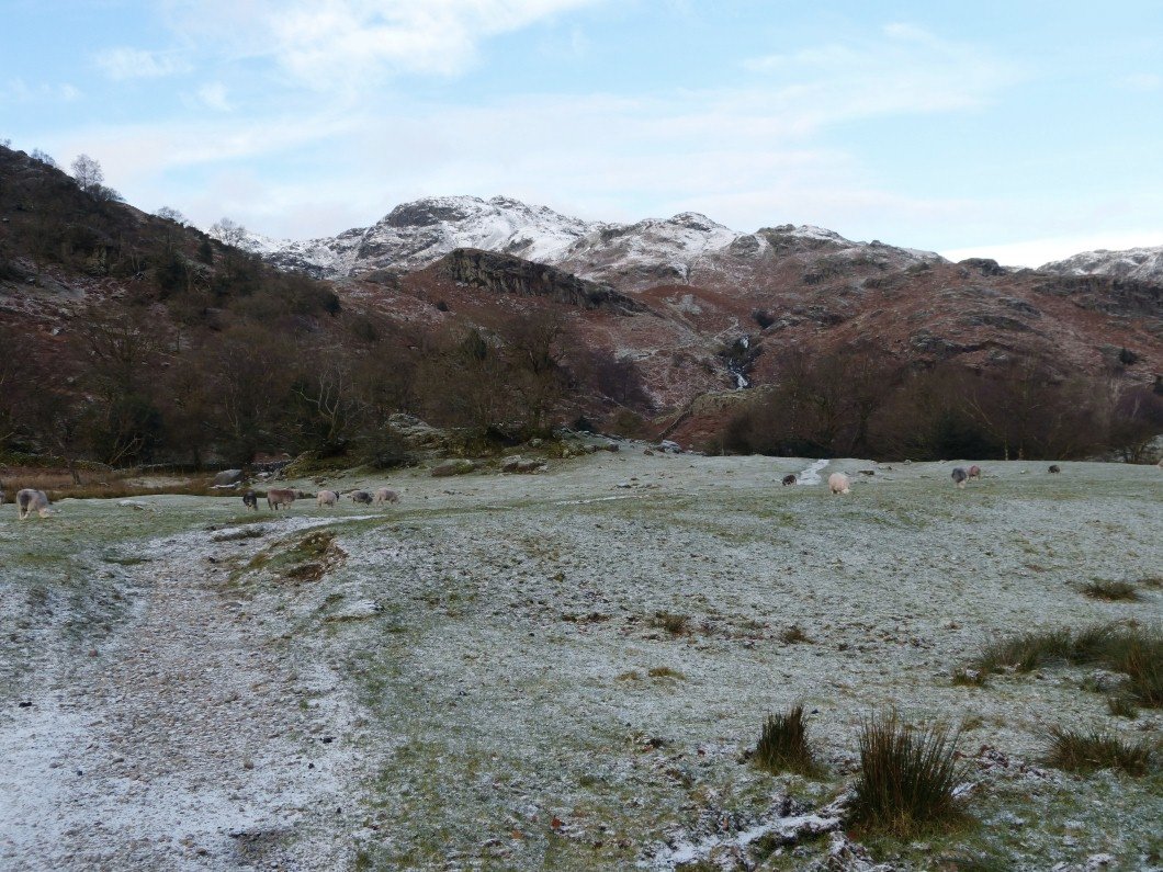
Following the path up to Sourmilk Gill. We fared quite well on the flat but it wasn't long before our micro spikes came out.
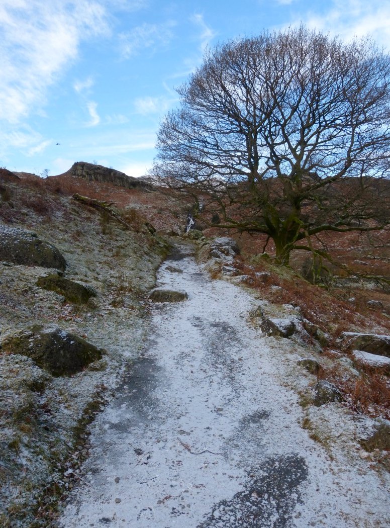
This section in particular would be very tricky without spikes.
A look back down the path.
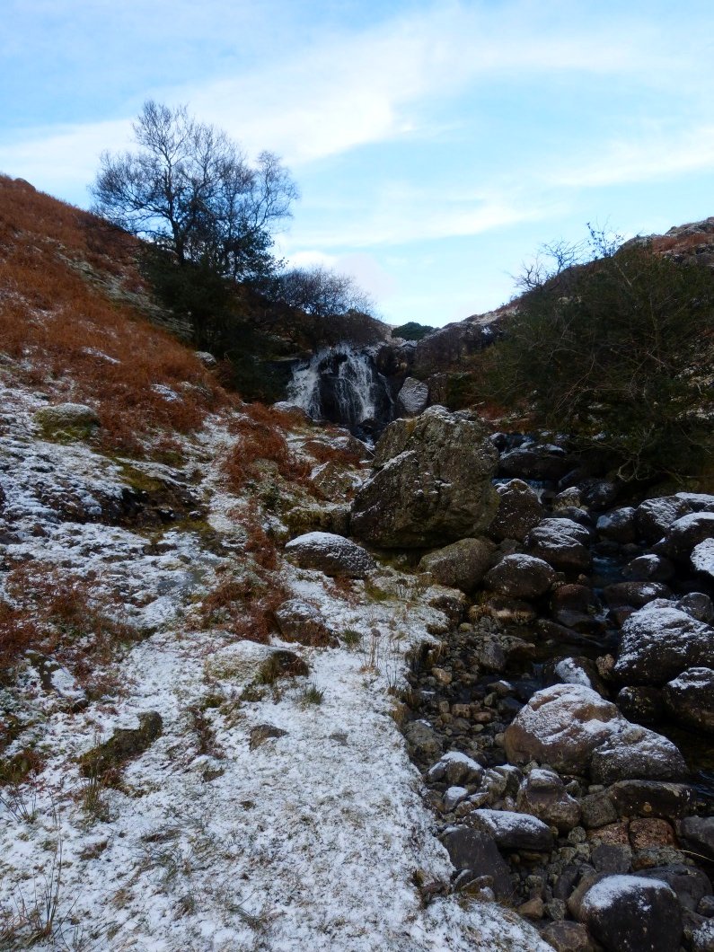
Nearing the falls now.
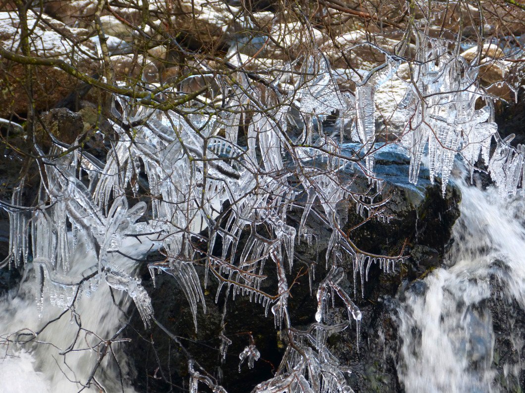
The water splashing over the falls has frozen in the branches of an overhanging tree.
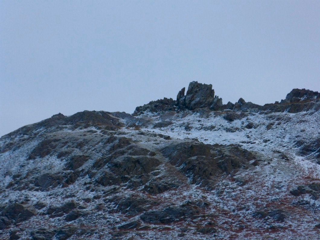
The old woman playing the organ on Helm Crag.
The fells to the east were slowly coming out of the cloud..
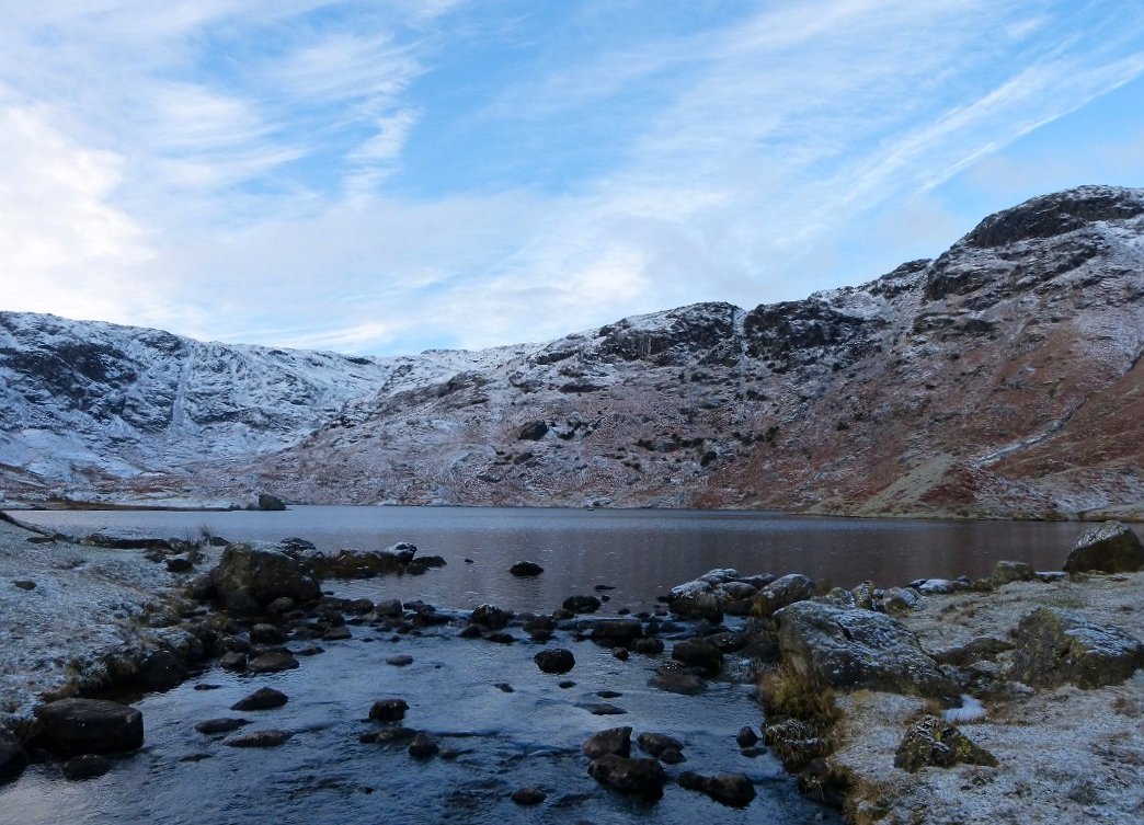
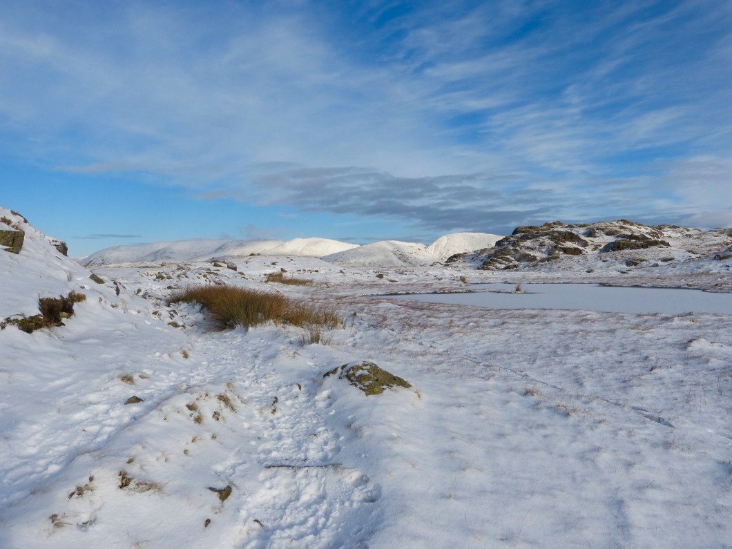
Easedale Tarn.
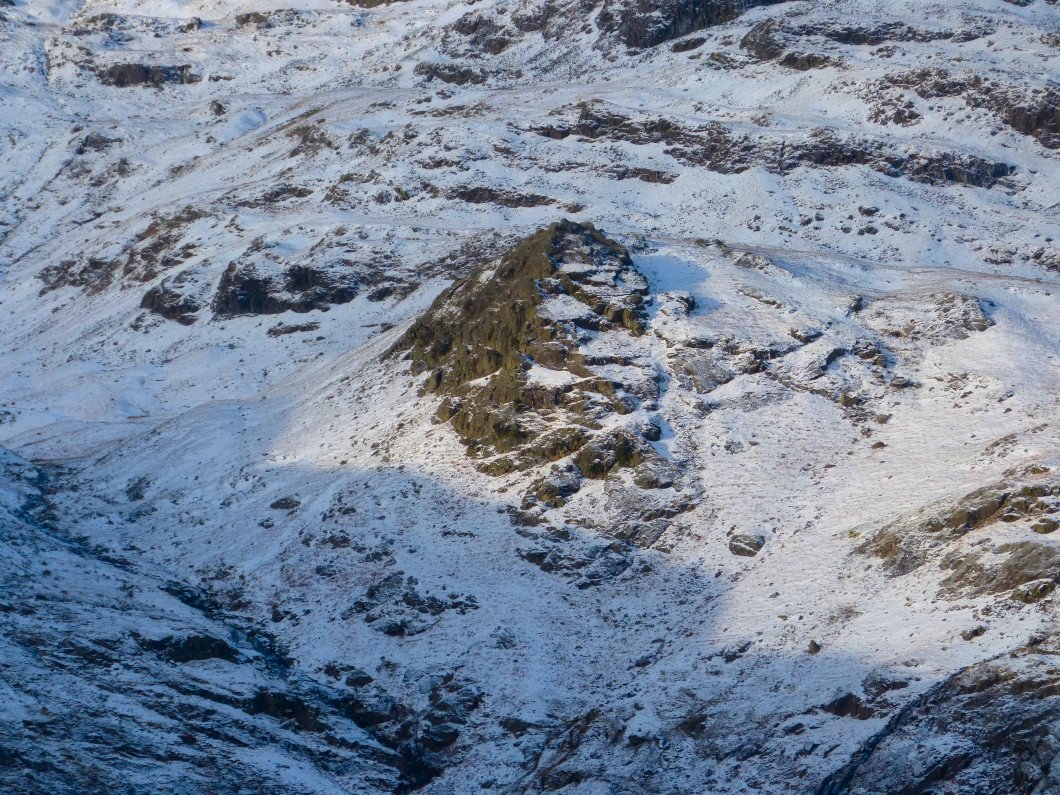
We took a path neither of us had been on before which gave a more direct route to the ridge than the one up by Belles Knott. This is Belles Knott seen from the climb..
The Helvellyn group nearly free of cloud now
.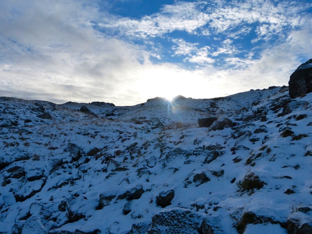
Climbing towards the sun
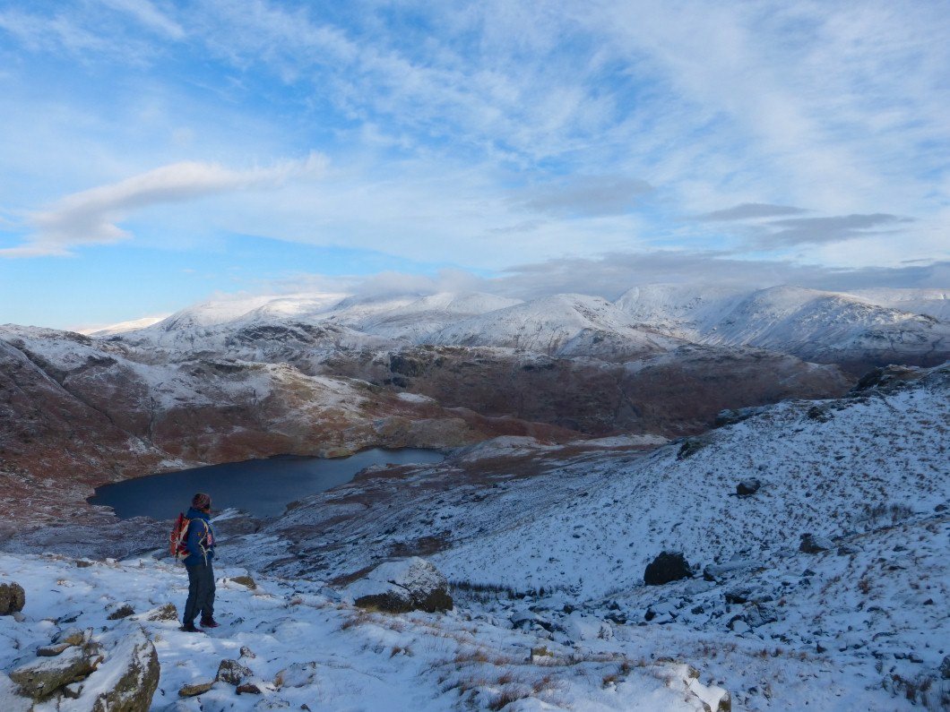
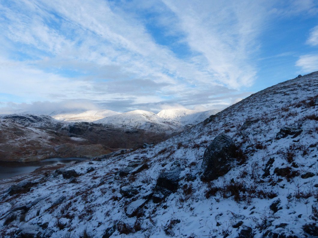
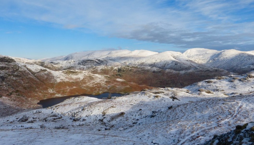
But stopping to admire the view back to Easedale Tarn and the Eastern fells
Once on the ridge ( which is the lower slopes of Blea Rigg ) Lingmoor Fell and the Coniston group appear.
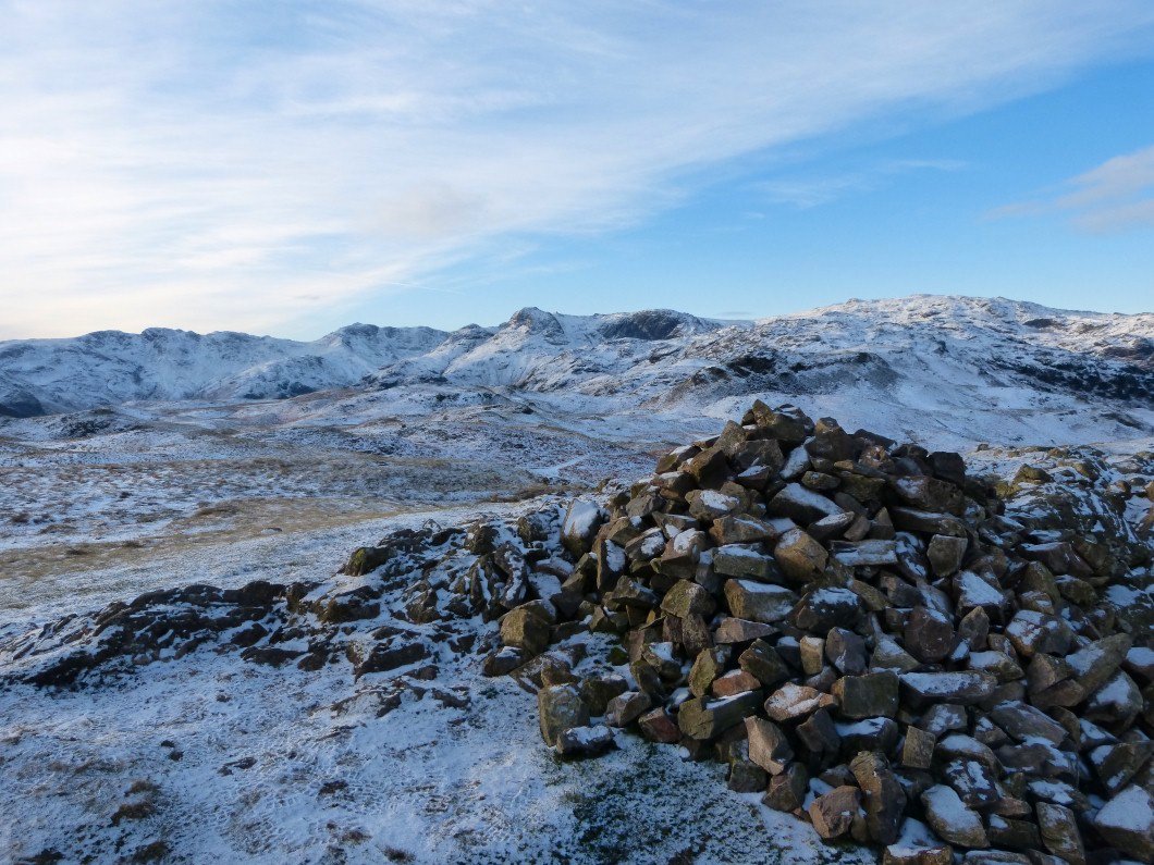
I climbed a little rocky outcrop to take this picture but could only stay for a few seconds as the easterly wind cut through you like a knife..
Things were much calmer in the lee of Great Castle How.
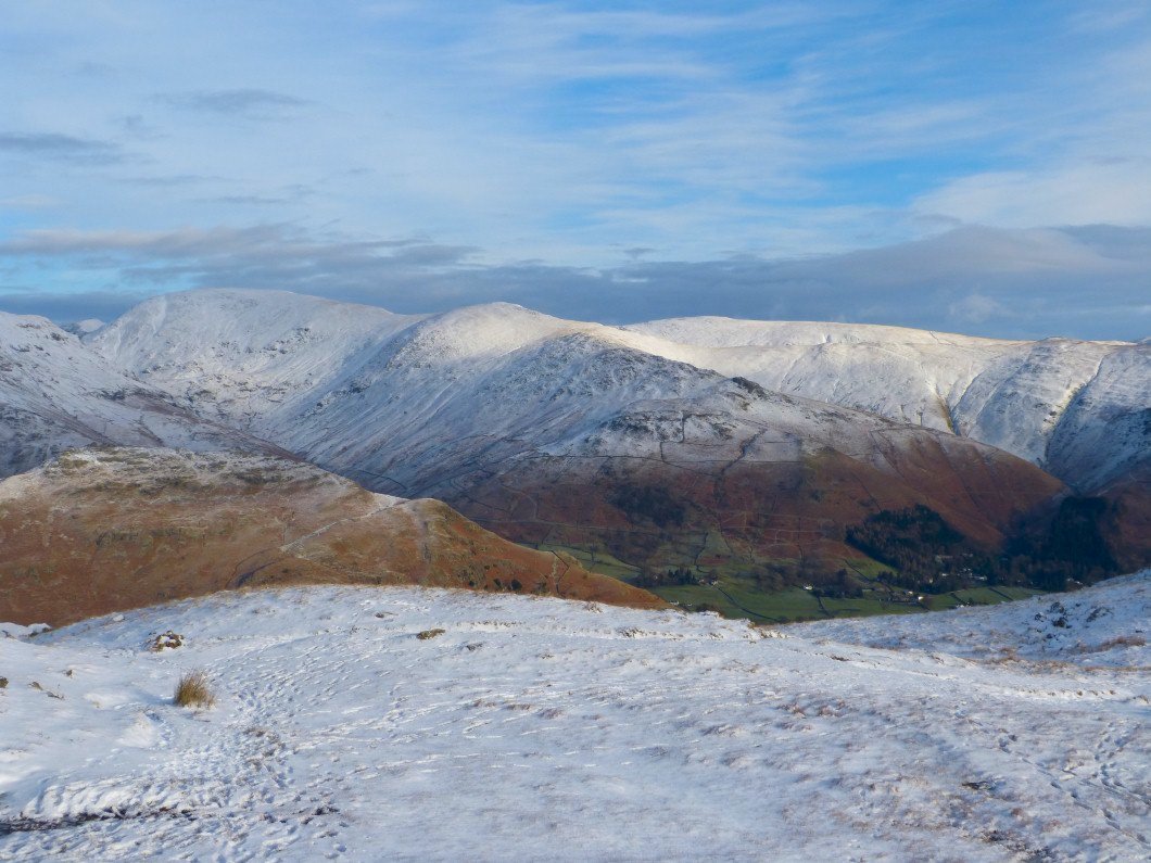
Most of the Fairfield Horseshoe in full winter conditions..
Our path winds it way along the ridge heading south to Silver How which is the furthest hill with snow on, Loughrigg beyond is snow free..
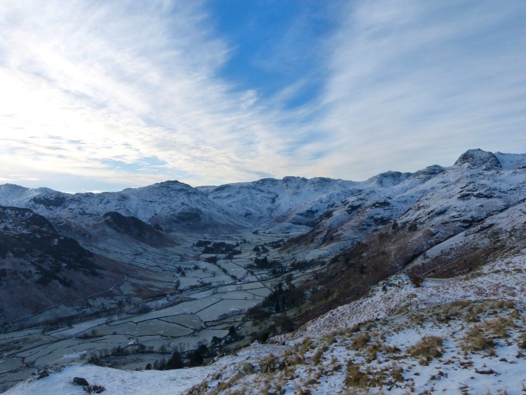
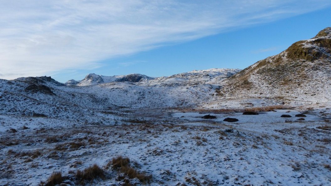
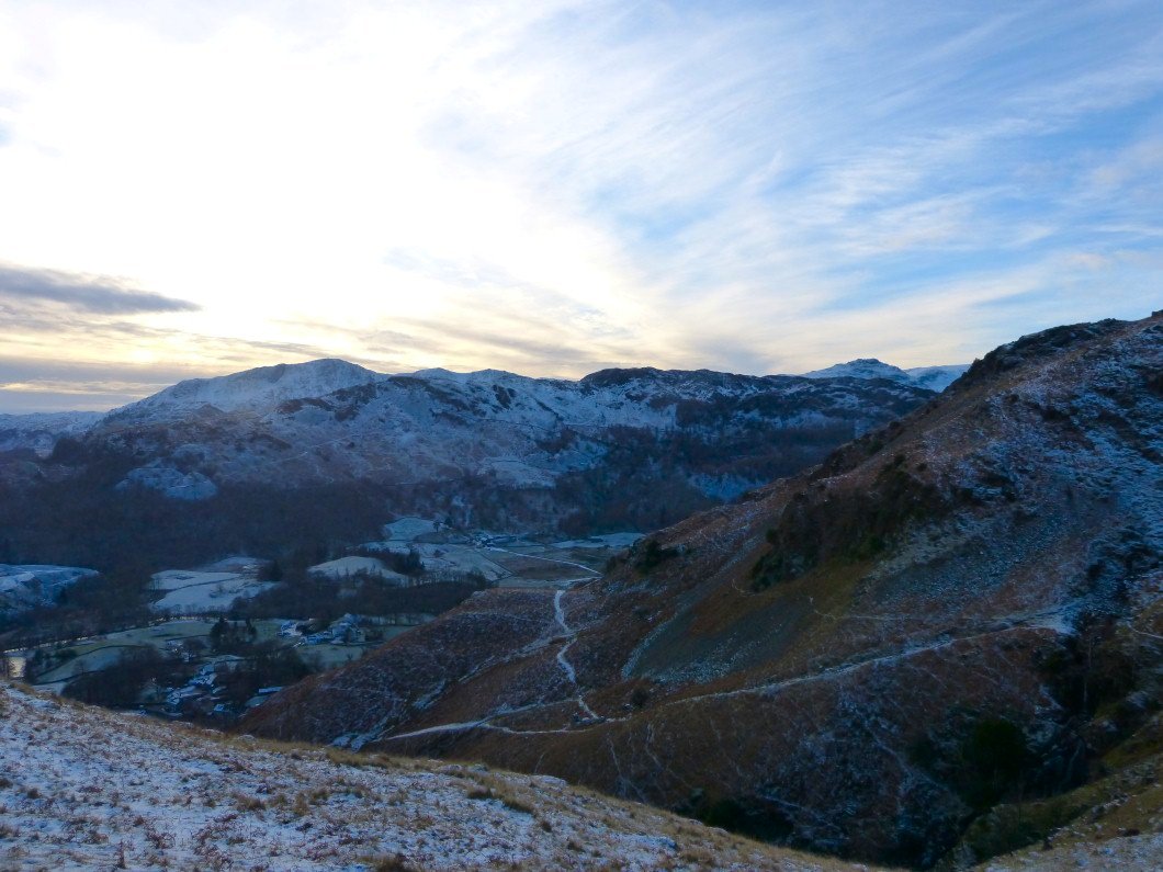
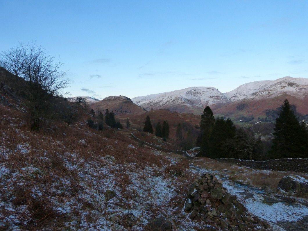
As you drop down to Swinescar Hause it's worth diverting a little way over to the Langdale side for this lovely view of Great Langdale and the fells beyond.
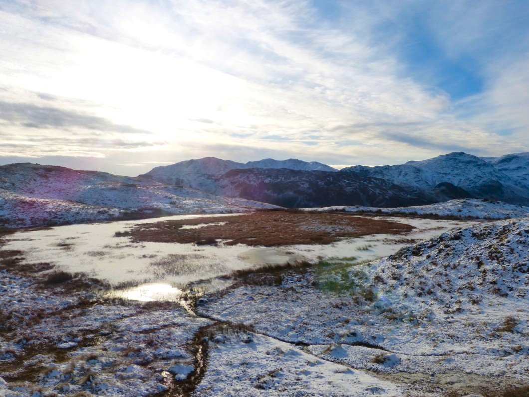
The tarn below Lang How
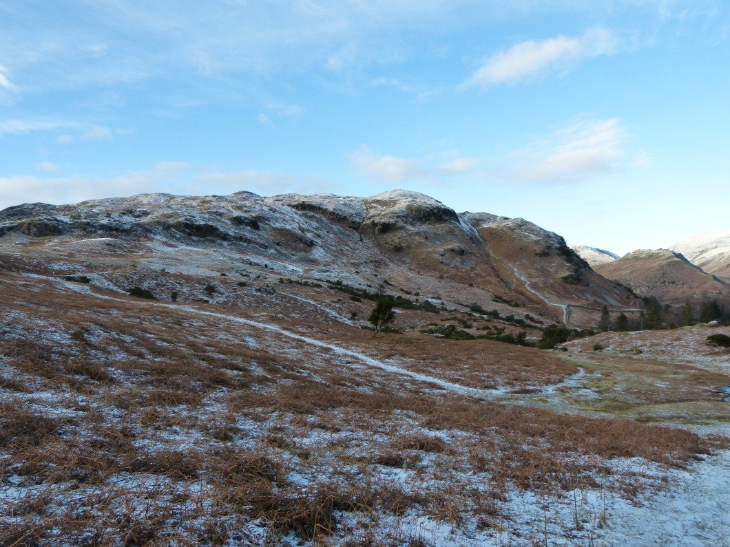
The dark face of Pavey Ark and Harrison Stickle seen beyond Swinescar Pike..
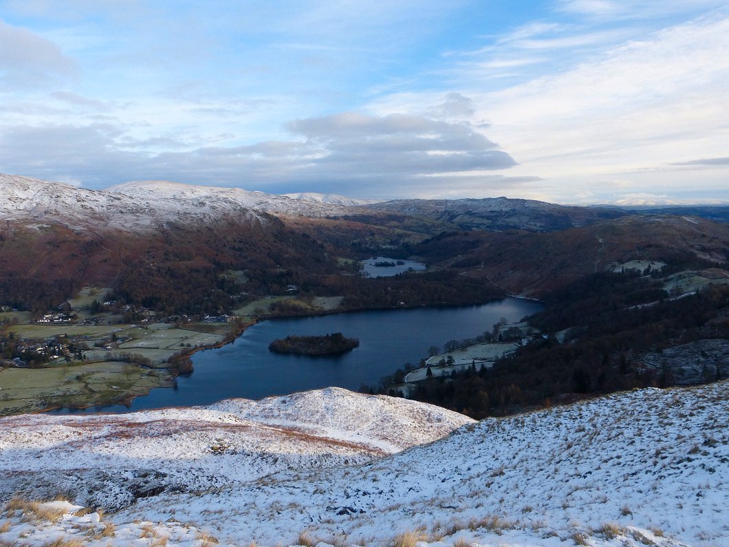
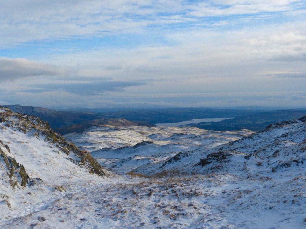
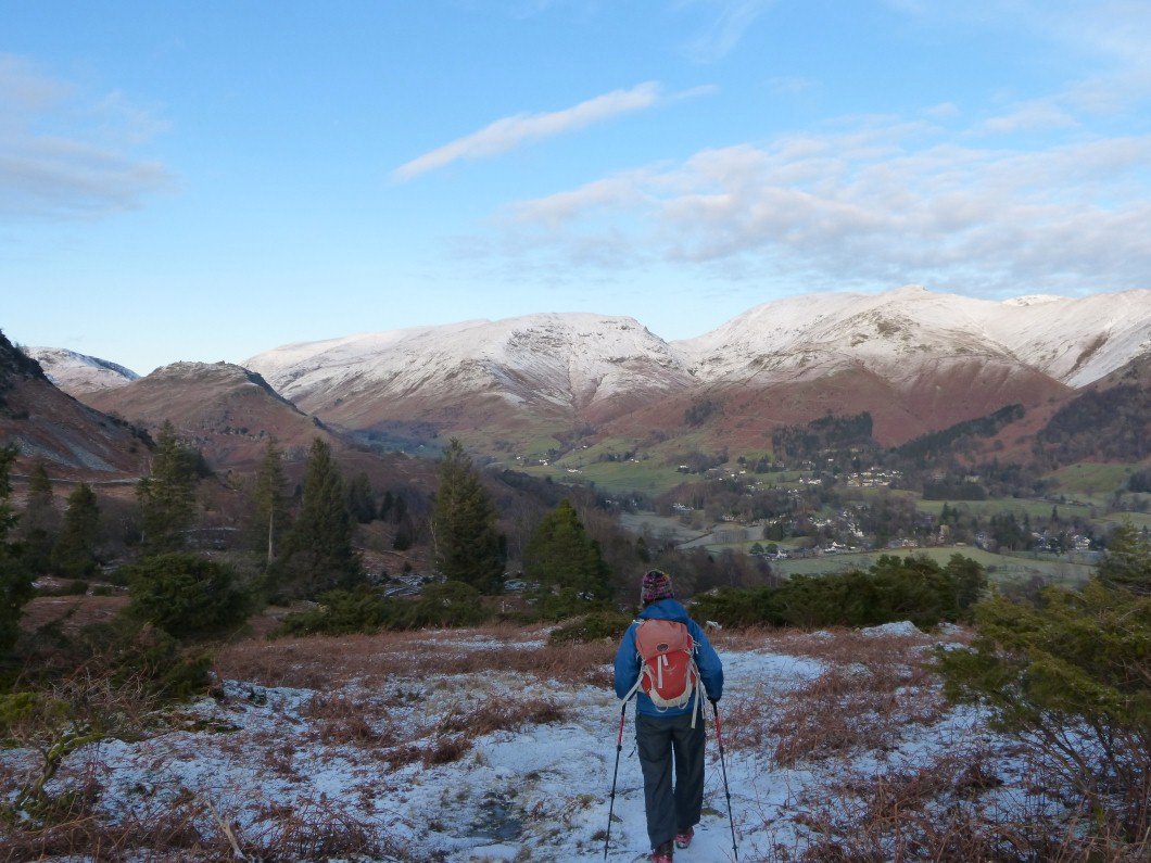
We are soon on to Silver How with it's well known view of Grasmere and Rydal Water.
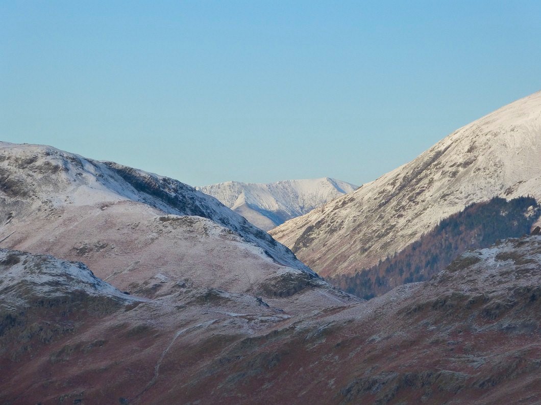
Blencathra fills the gap between Steel Fell and Dollywagon Pike.
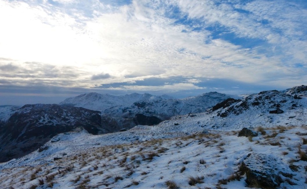
Silver How top with the Crinkles, Bowfell and the Langdale Pikes in a line from the left
We had plenty of daylight left so carried on along the ridge from Silver How passing above the path by Meg's Gill..
Looking back up to Silver How from the path down from Spedding Crag.
Grasmere village backed by Fairfield on the right and Dollywagon on the left separated by Grisedale Hause
The gully we used in our last ascent of Silver How about three years ago.( It's a pitched path most of the way so is easier than it looks from here)
Although at a comparatively low level this path was covered in ice and would have been very tricky without spikes.
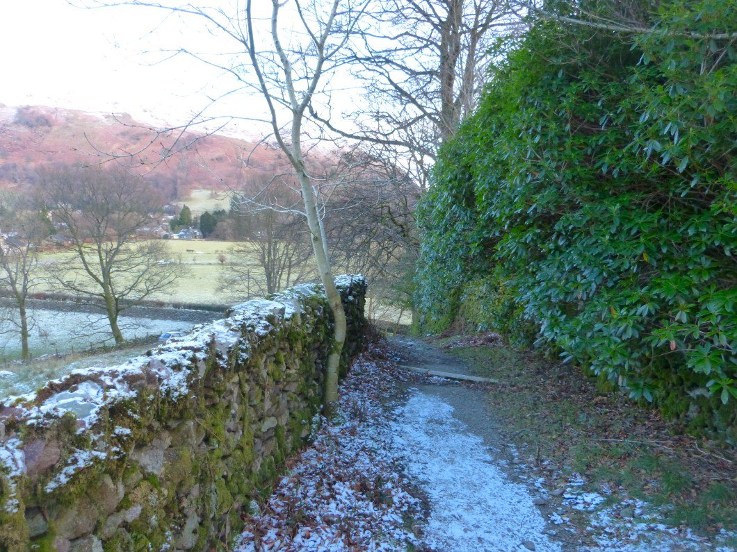
Nearly back to the road at Kelbarrow.