WWW.KARLSWALKS.CO.UK
PICTURES AND TRIP REPORTS FROM MY WALKS IN THE ENGLISH LAKE DISTRICT
|
E-mail - karl@karlswalks.co.uk |

A few years ago Sue and I were having our lunch on the eastern side of Kentmere Reservoir and I pointed out an interesting looking ridge leading up to Rainsborrow Cove. I said "I'll climb that one day" and although it's been a few years I finally did. I also took the opportunity to have a look into the large cavern visible from the valley floor which I've passed by many a time and to be honest I've been too lazy to climb up to.
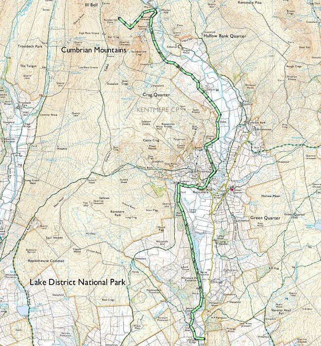
It was Louis's first match of the season and I didn't want to miss that so I arrived around lunchtime and was lucky that there was one space left at the small car parking spot at Ullthwaite Bridge. From there I made my way on the pleasant paths heading towards Kentmere. The eastern arm of the Kentmere Horseshoe comes into sight as you reach the house at Croft Head.
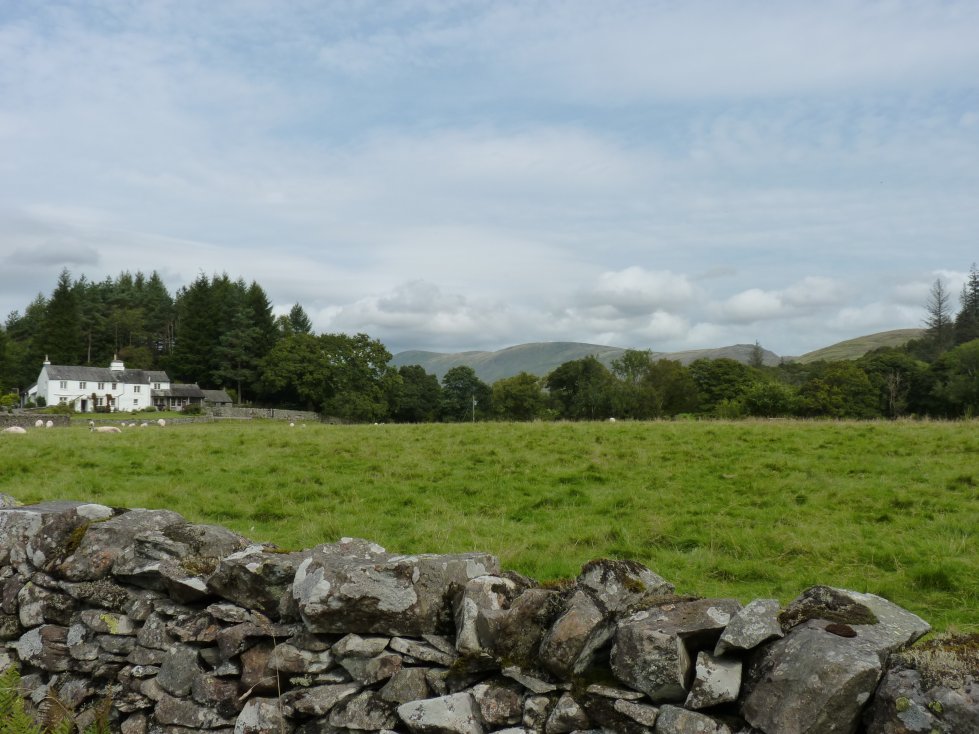
It's easy walking and soon you get a view of Kentmere village and Church
Following the track northwards out of the village. Ill Bell and Froswick are the fells on the left with Mardale Ill Bell and its outlier Lingmell End on the right.
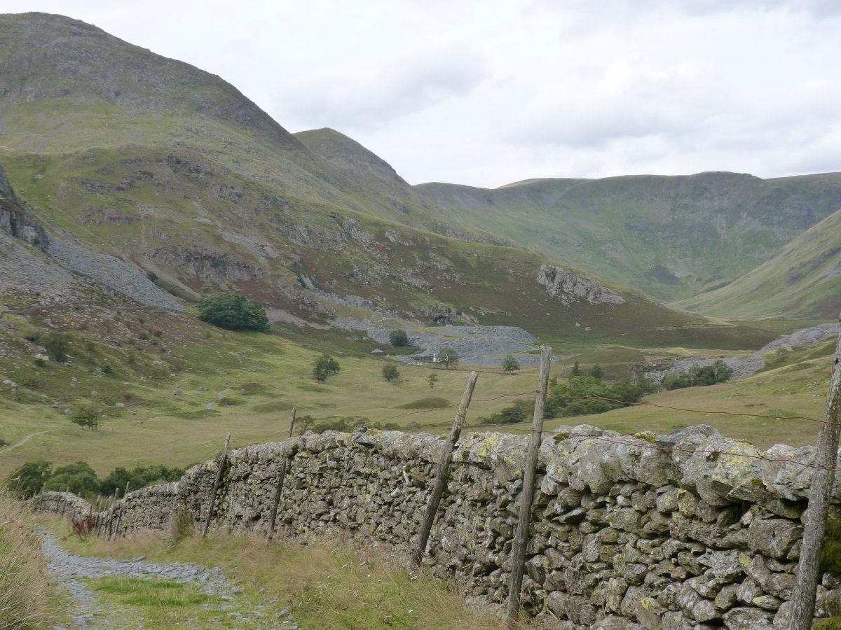
A closer look at the ridge I'll be climbing. Steel Rigg is the name of the bump at the end of the climb. From here it dosent look that steep at all especially when compared to the ridge just behind which is the north east ridge of Ill Bell which I struggled up in 2018.
Rainsborrow cavern just about seen from the path.
.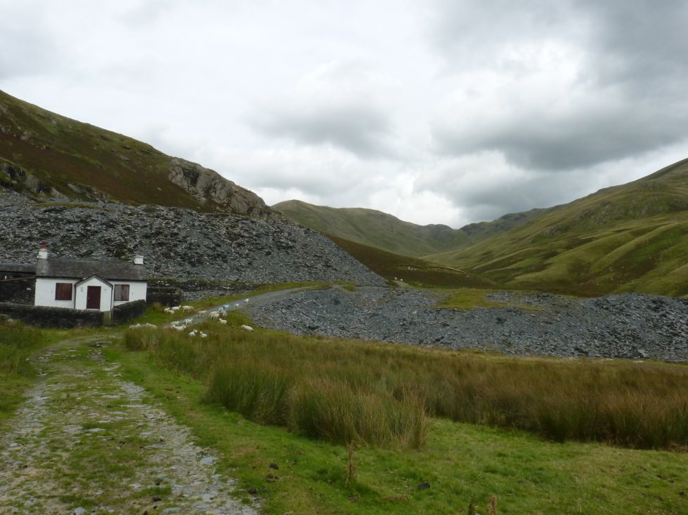
Reservoir Cottage which is some sort of residential outdoor activity property owned by Blackburn council. The path contours around the bottom of the start of my climb.
After crossing a few yards of dying bracken the climb is now on grass.
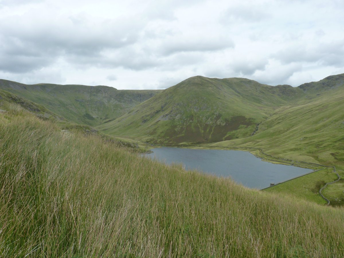
Looking back to the reservoir.
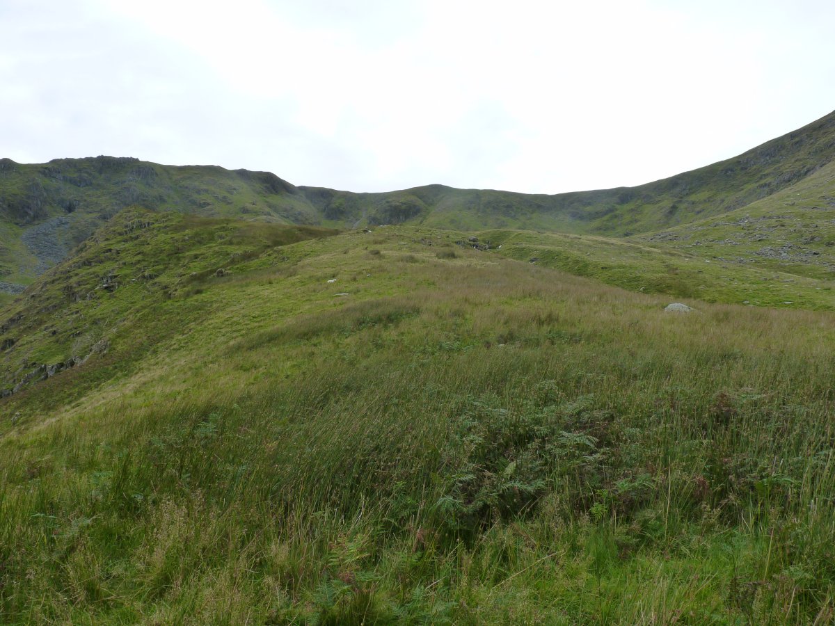
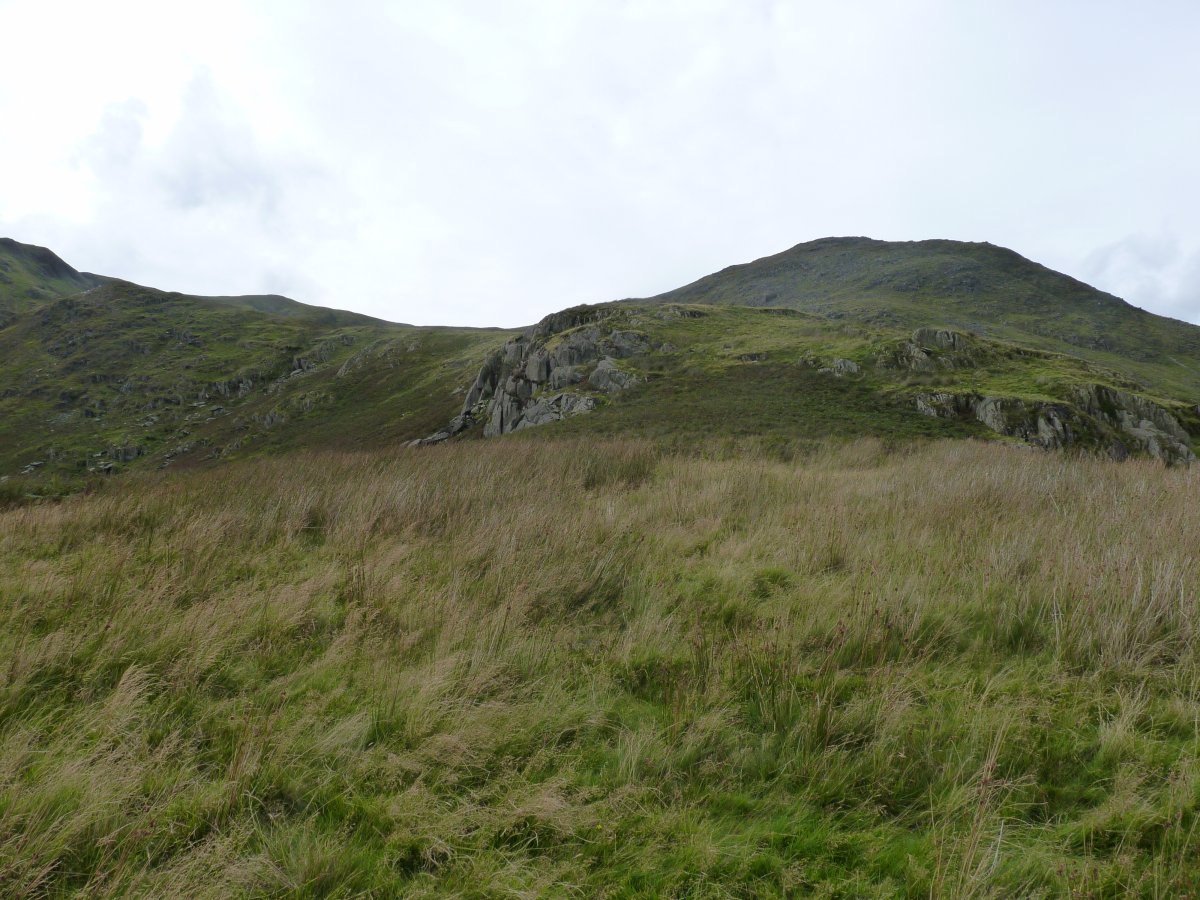
There were one or two sheep trods to follow but I couldn't see any trace of a path. Steel Rigg is ahead.
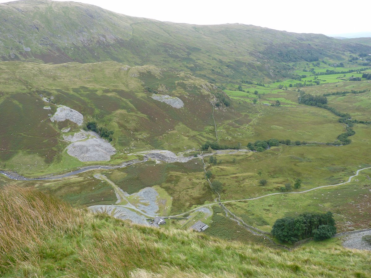
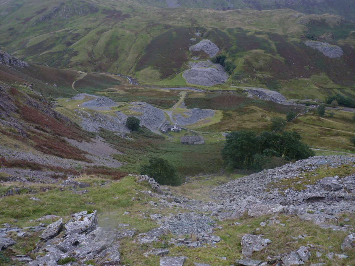
From Steel Rigg the view is of Reservoir Cottage and the various quarry spoils dotted about.
Rainsborrow Cove. The main part of the cove which is just ahead of me was very wet and I think if there had been a retaining wall of moraine this would have been a tarn. I decided to camp on the higher ground just above the black rocks and small waterfall in the centre left.
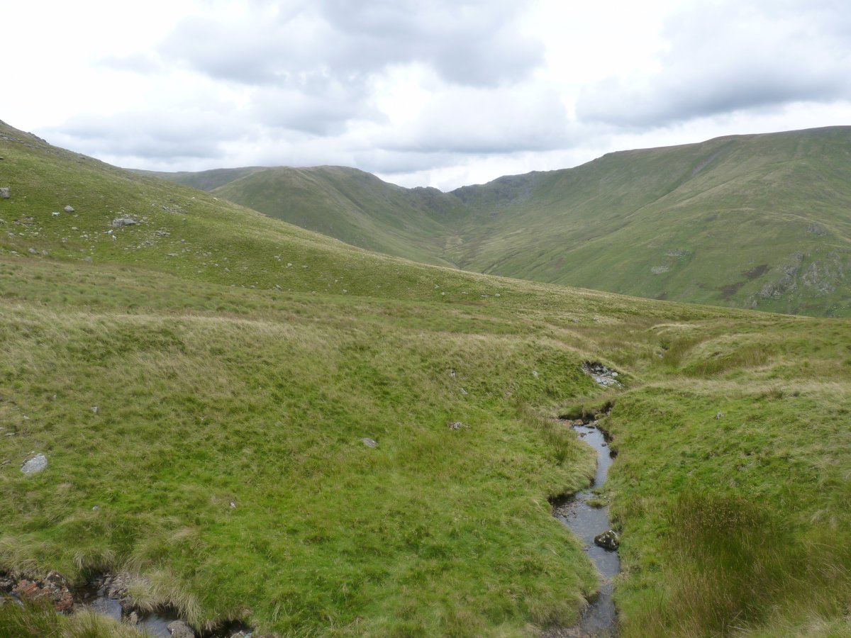
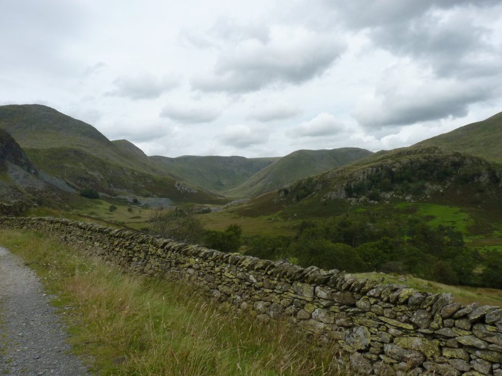
Looking across to the Nan Bield Pass.
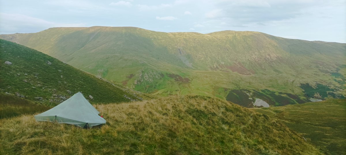
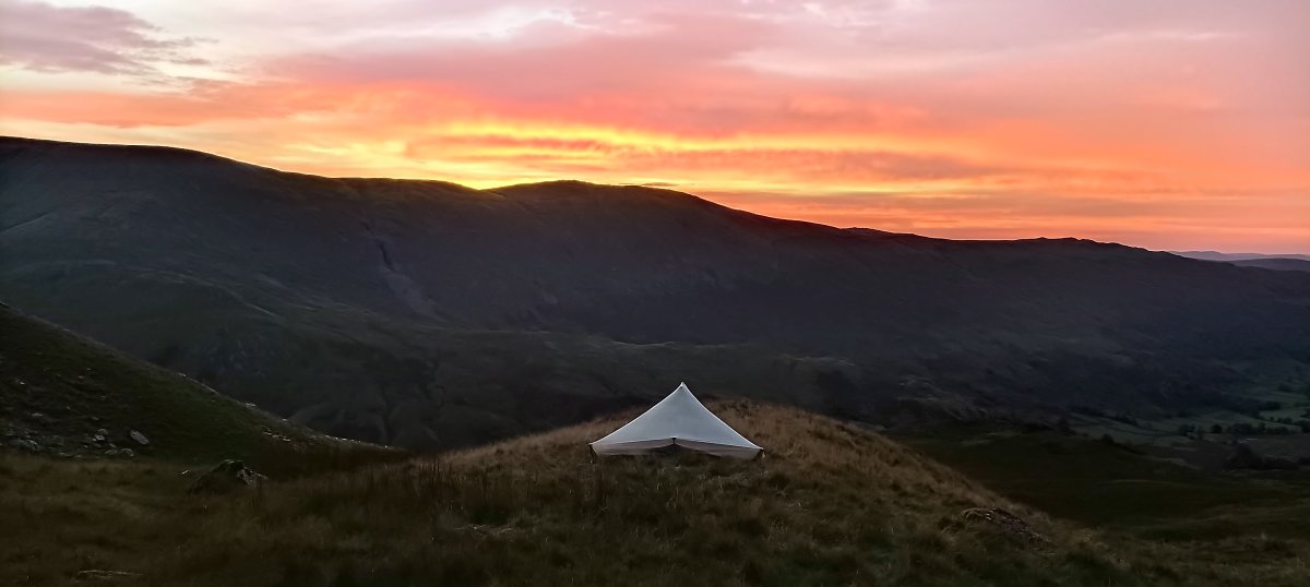
Later on in the day the tents up and it;s becoming a very pleasant evening.
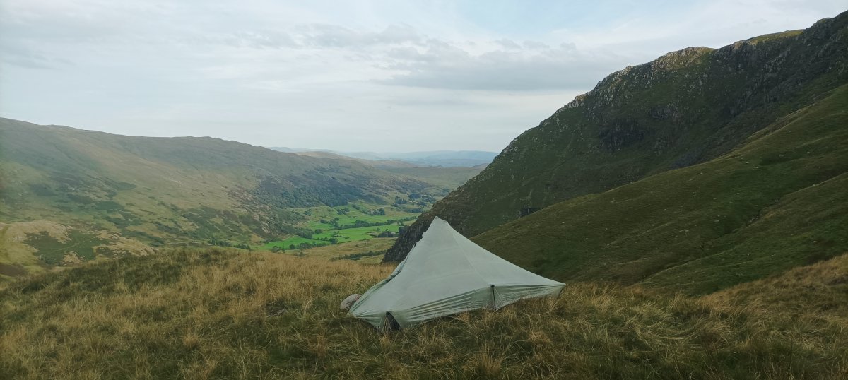
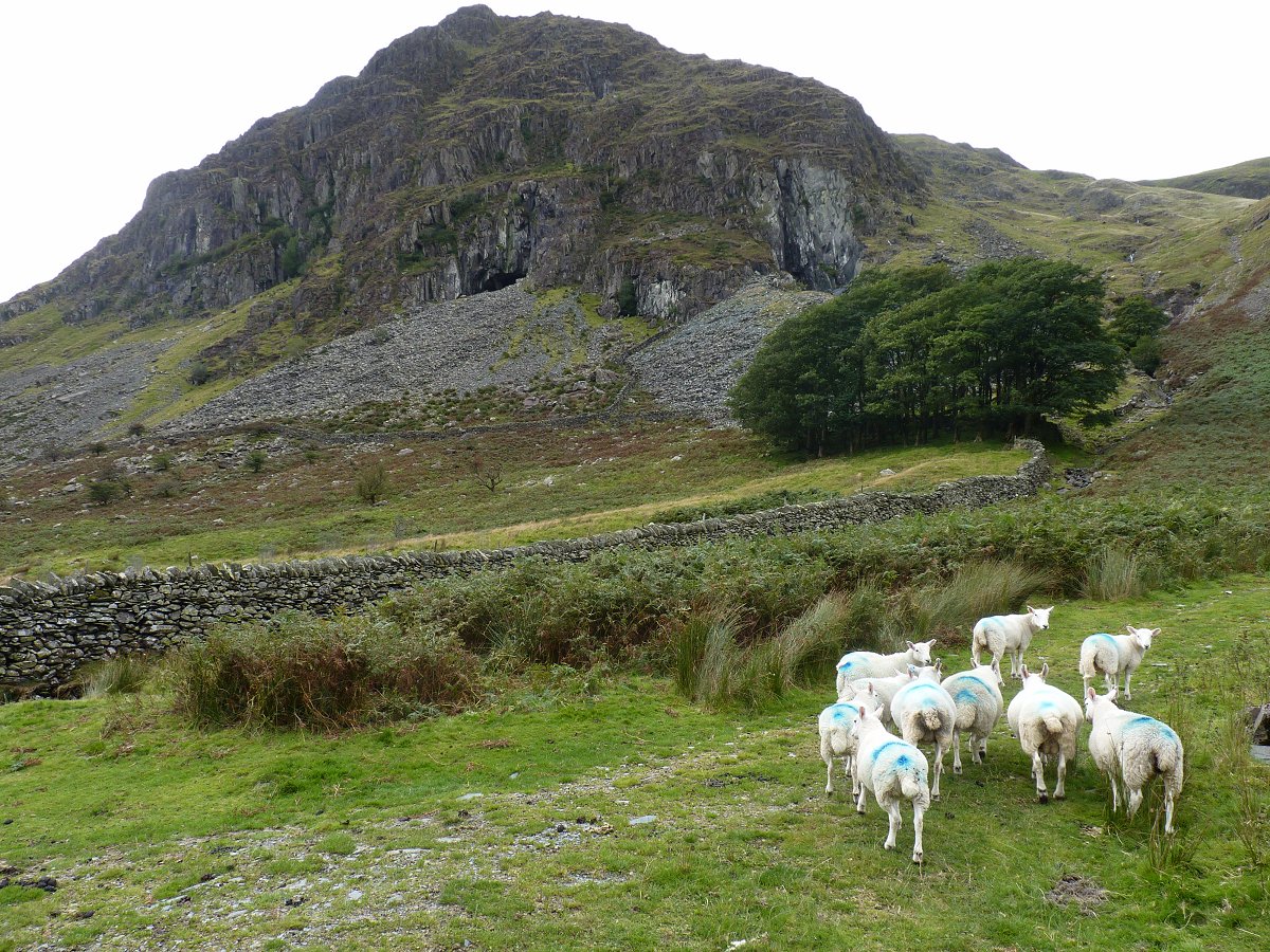
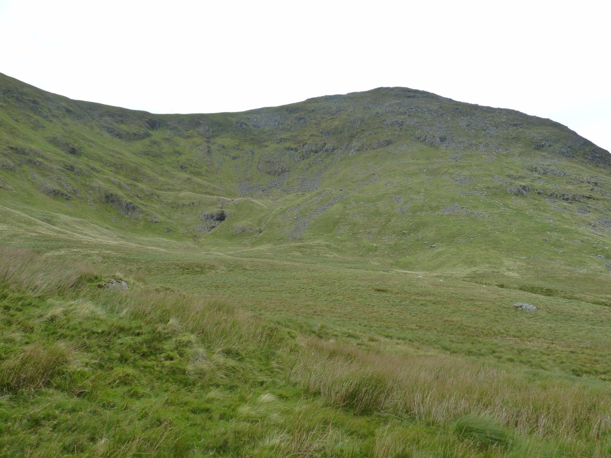
The rugged outline of Rainsborrow Crag with the fields around Kentmere beyond.
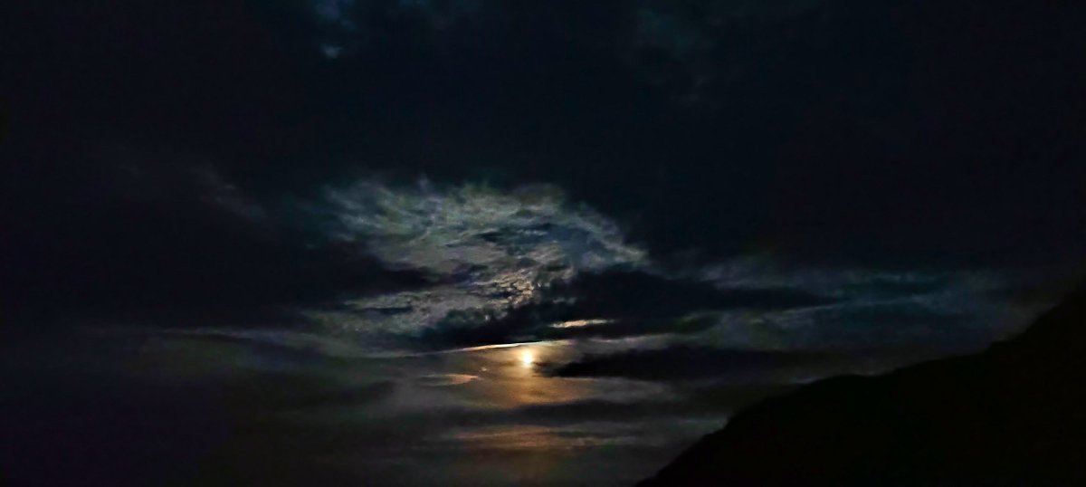
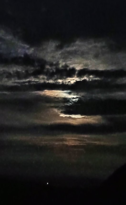
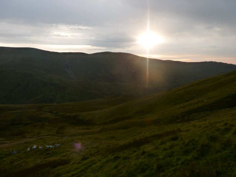
I was in the wrong place to see the sunset but the moon was lovely.
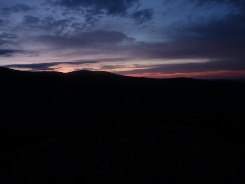
After a comfortable night I was up early to see the eastern sky start to lighten.
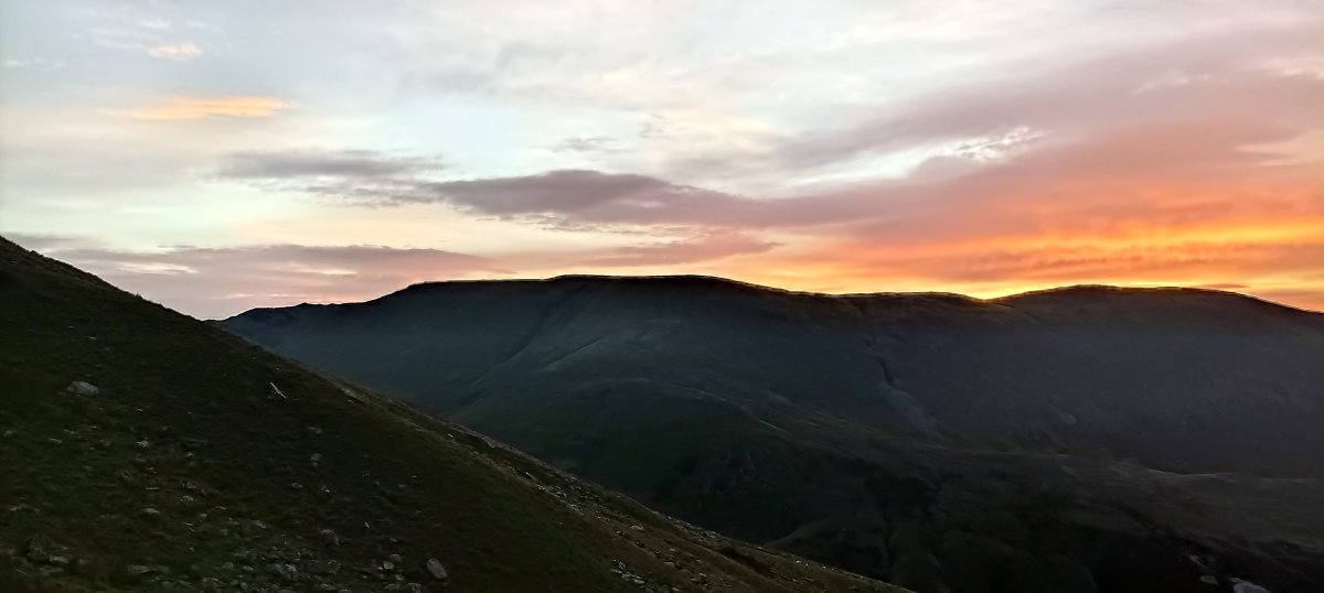
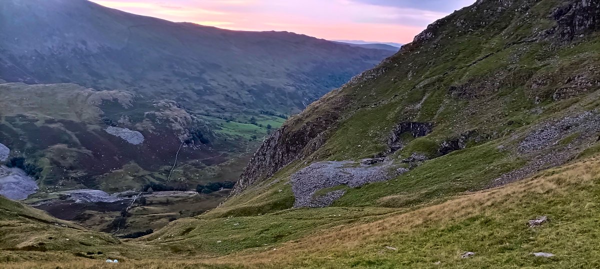
And a short while later the sky was on fire.
The sky is looking clear for now but the forecast was for rain to move in during the morning so I packed up early and made my way over rough ground above the cove heading for Rainsborrow Crag.
Before visiting the cavern I took a look at the quarries dug into the side of the crag.
The sun showed itself for a few minutes but the skies soon began to darken and there was rain on the breeze.
There were a couple of excavations but no tunnels.
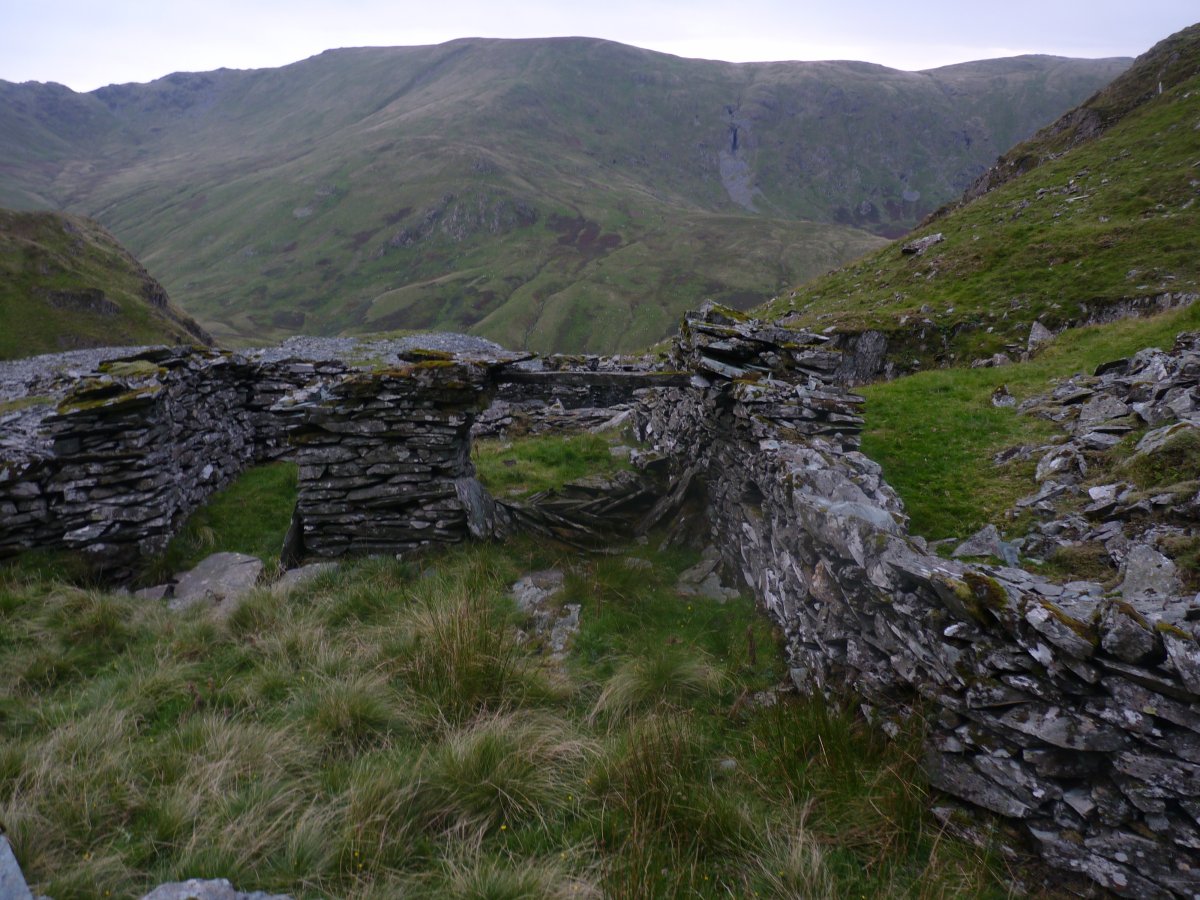
Quite a few ruined buildings and looking across the valley I was reminded that a visit to the quarry dug into the side of Kentmere Pike was still on the to-do list.
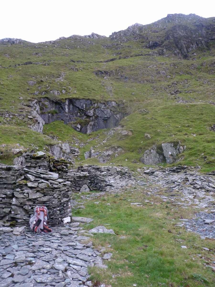
I had to cross some rough ground to get around to the cavern and the now constant drizzle on wet slate didn't make it any easier.
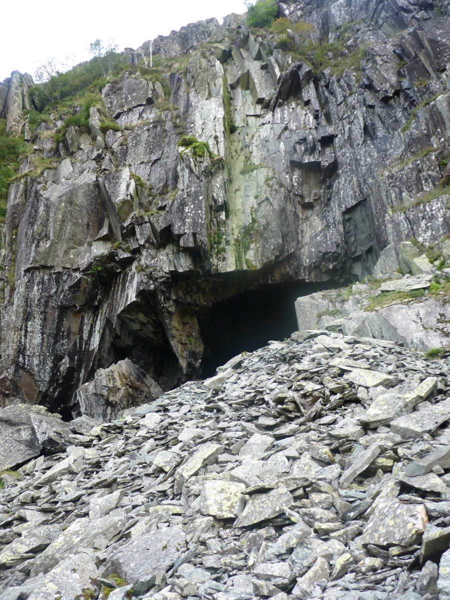
Finally I arrived at the entrance to the cavern.
Which was huge.
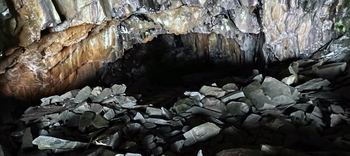
A look down towards the rear of the cavern.
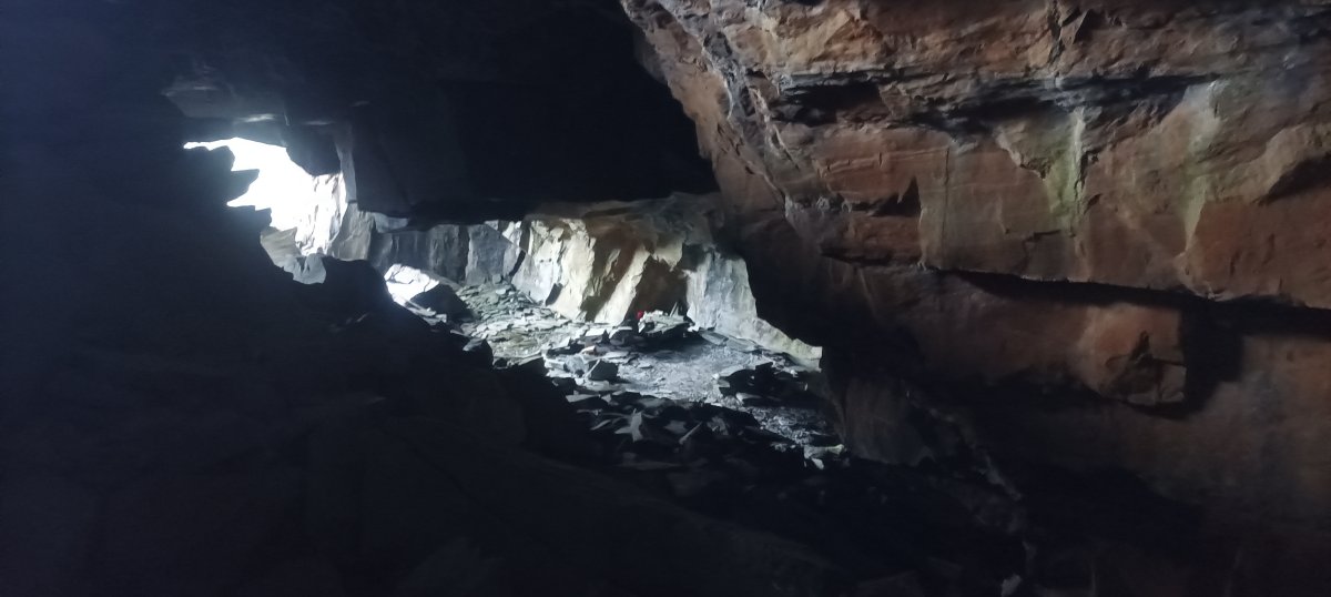
There was a lower section which had the remains of a fire and a few tea lights and candles scattered about as well as a few stones stacked into makeshift benches so I presume people must bivvy here.
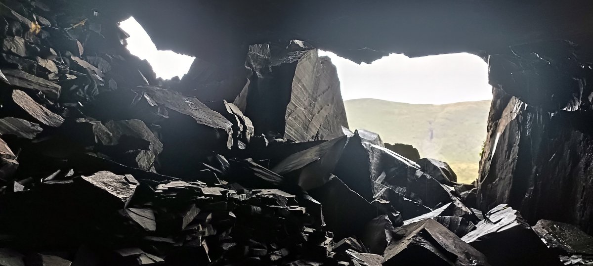
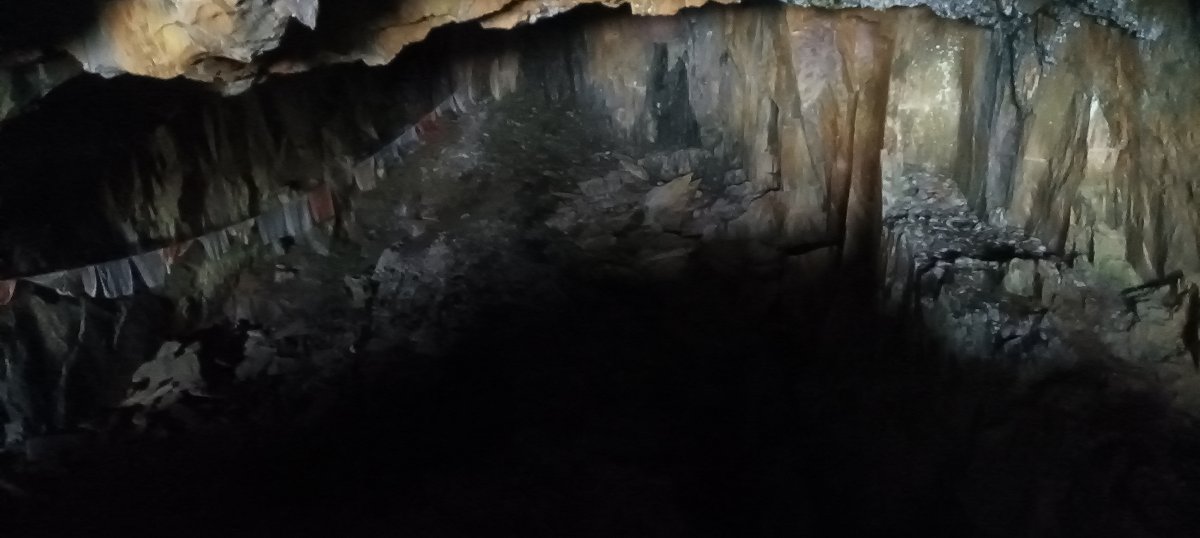
Looking out from the lower section.
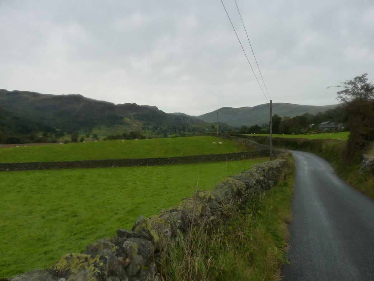
After coming down from the cave I made my way back along the track to Kentmere. Although it had stopped raining it felt like it could start again so I returned on the road which is slightly shorter.
Previous walk -- Grisedale Pike - Next walk - A walk around Coniston Water