WWW.KARLSWALKS.CO.UK
PICTURES AND TRIP REPORTS FROM MY WALKS IN THE ENGLISH LAKE DISTRICT
|
E-mail - karl@karlswalks.co.uk |
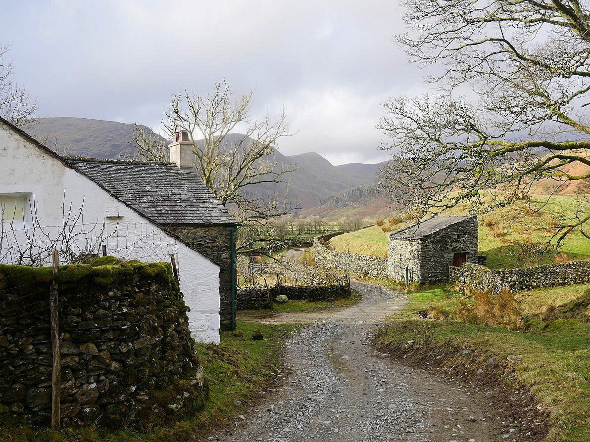
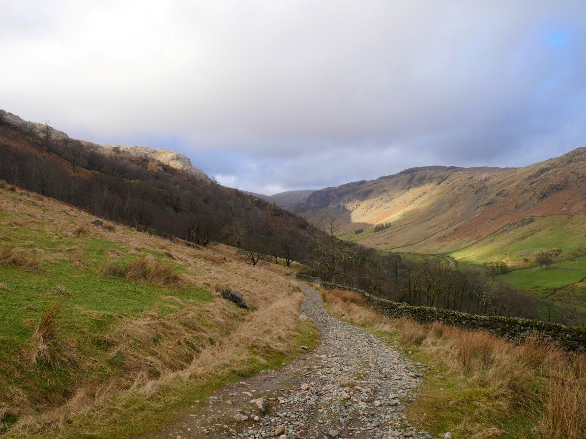
Saturday looked to be a fine weather changeover day from the freezing cold but dry weather we have had for a couple of weeks to a warmer but wetter weather system. So I headed up to Sadgill to walk a round incorporating a climb that I've had my eye on for some time..
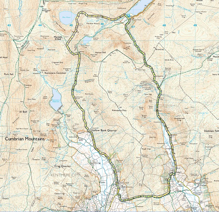
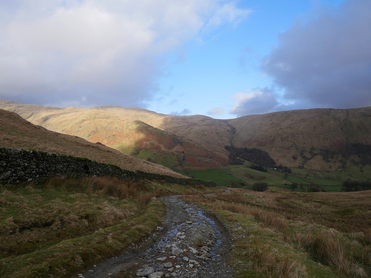
Arriving at Sadgill I was a bit disappointed to see that the cloud was lower than forecast and it was also drizzling as well.
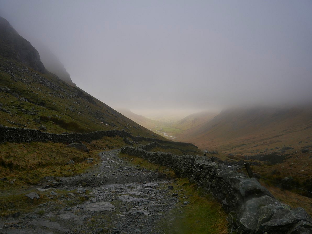
Although the cloud didn't really lift the rain petered out and looking back down Longsleddale it does seem brighter in the south.
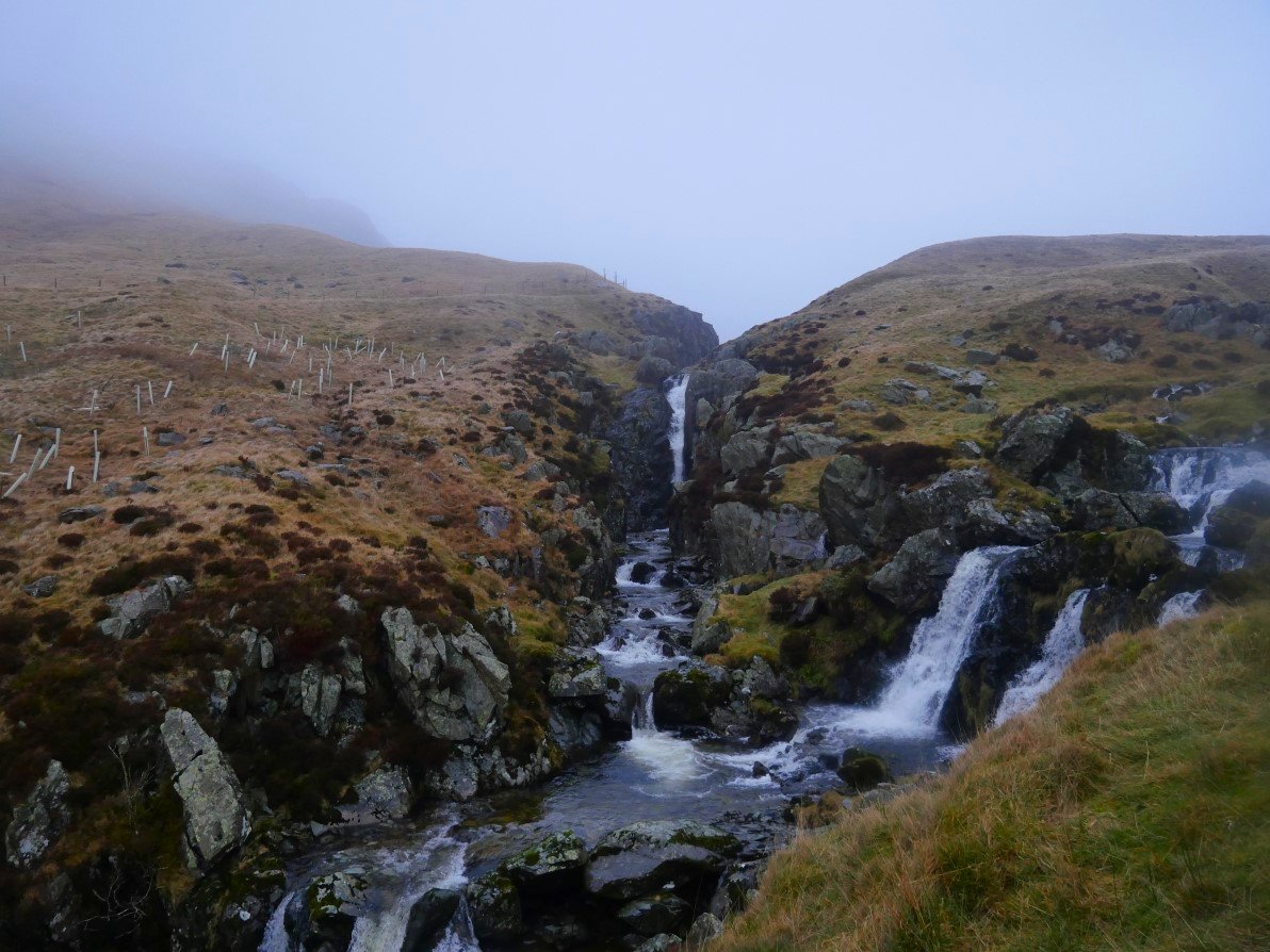
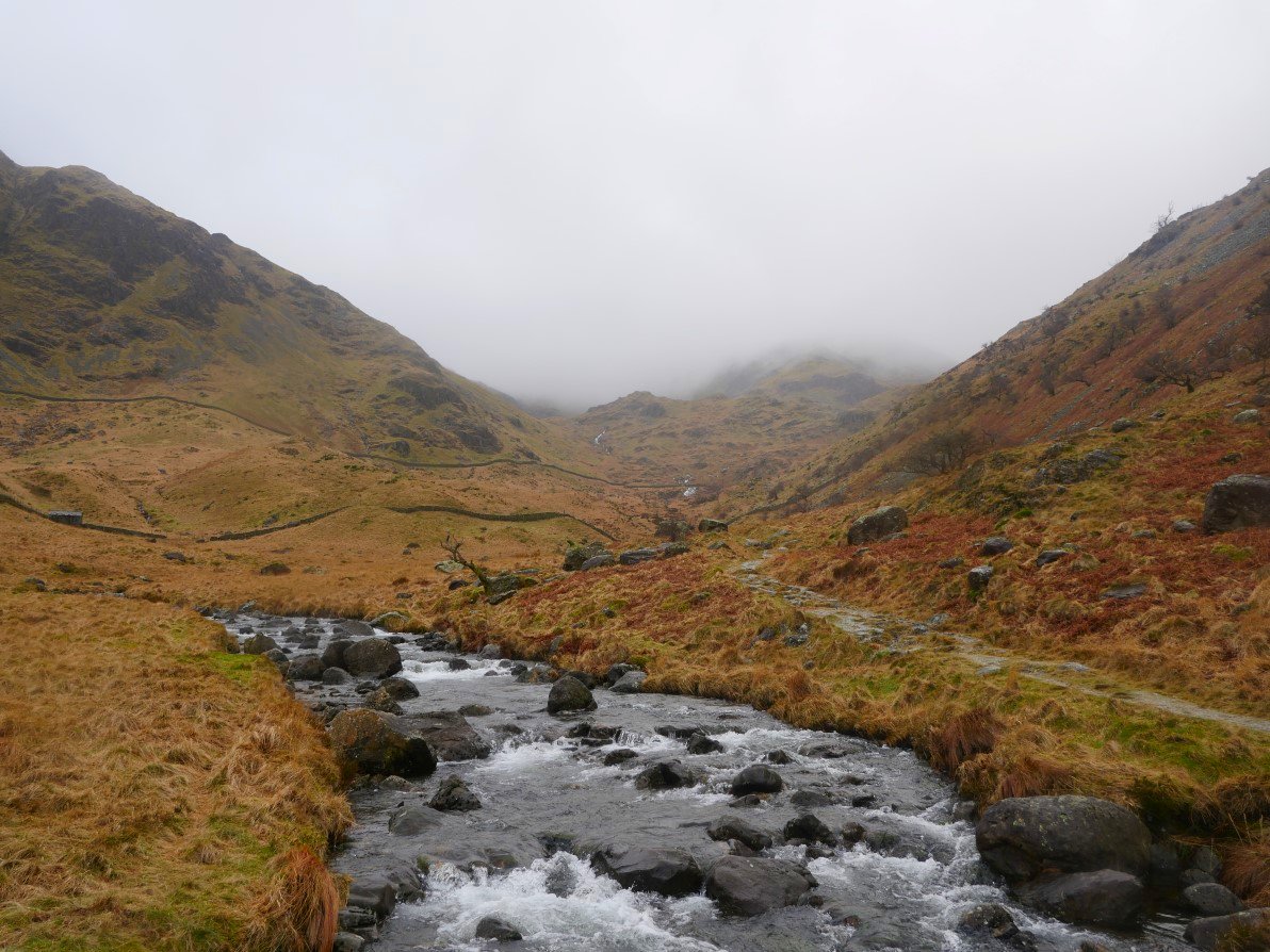
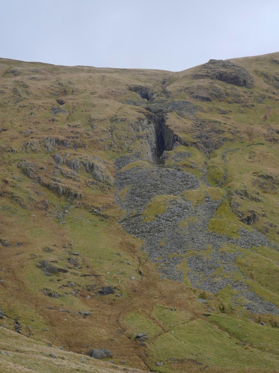
Passing the impressive cascades in the River Sprint.
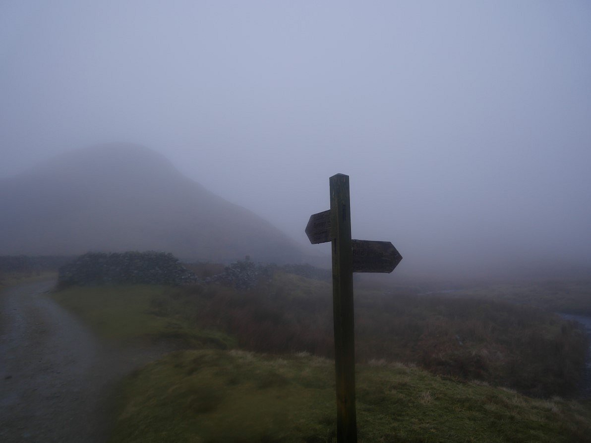
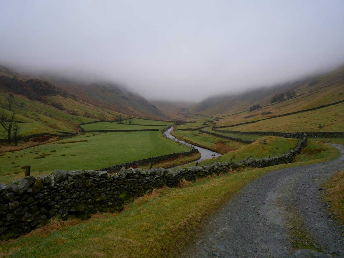
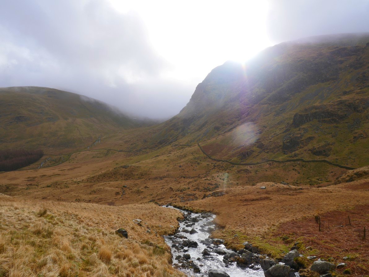
After climbing up to Brownhowe Bottom the cloud increased and my onward path over the Gatesgarth Pass had dissapeared.This is the signpost pointing you to Mosedale and Wet Sleddale.
.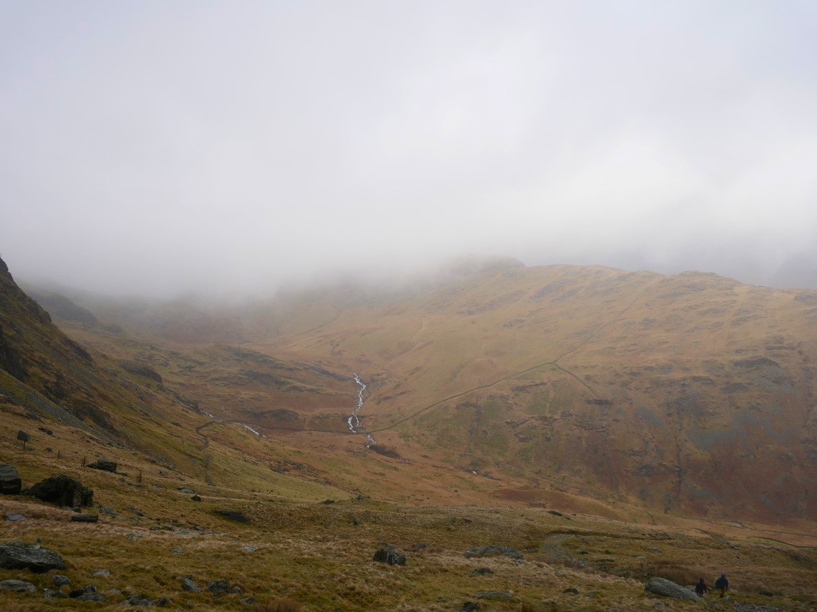
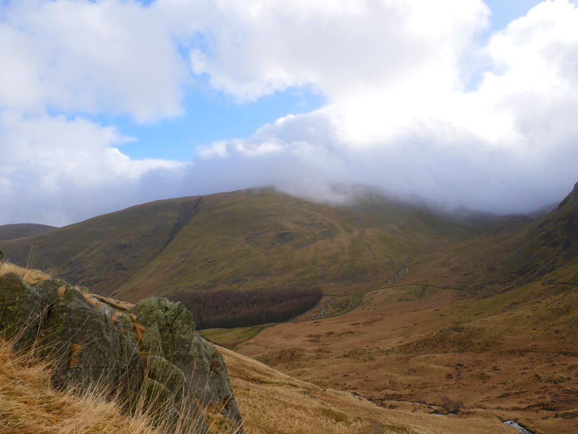
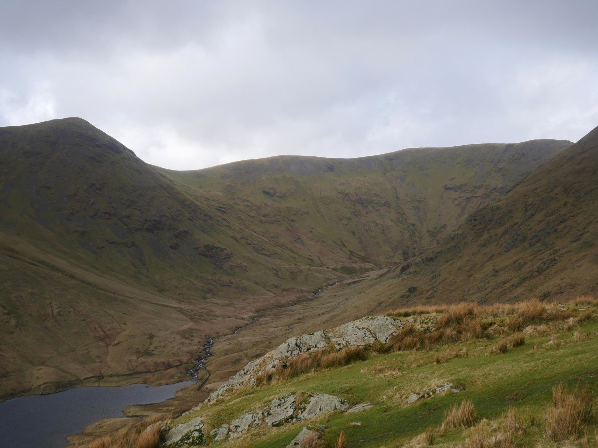
Once over the pass I got a view of the Rough Crag ridge with Blea Water Beck below which I would be following up to Blea Water.
Looking back up the pass from near Mardale Head.
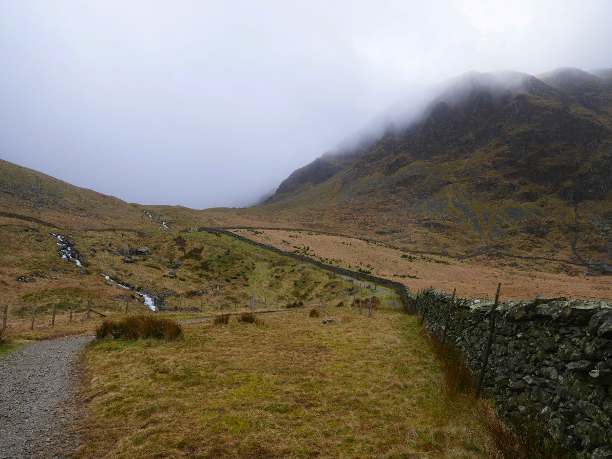
That's my path on the right. Although it's never really steep it's quite a pull up to the tarn
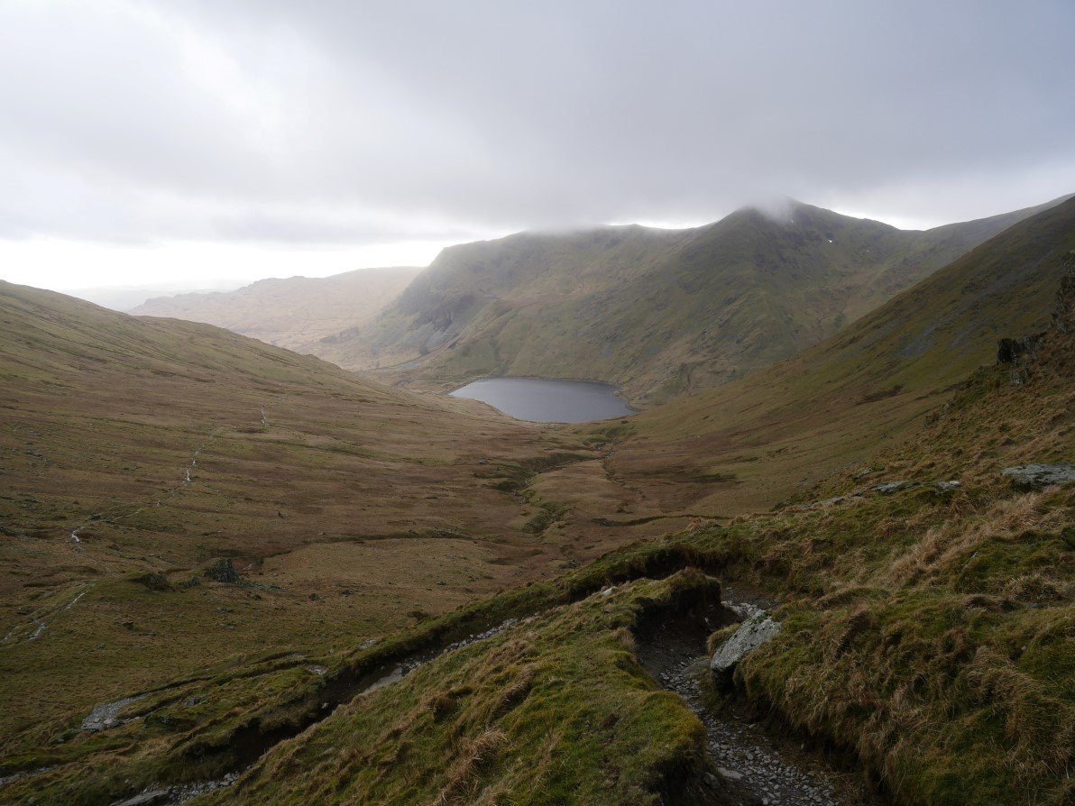
Suddenly the day took a turn for the better as the sun climbed over Harter Fell. I started to worry if I would be able to cross the beck up nearer the tarn so I dropped down off the path to see if I could cross lower down but I couldn't find a safe enough spot all the way up to the tarn.
Lovely bit of blue sky above and cloud rolling across Branstree.
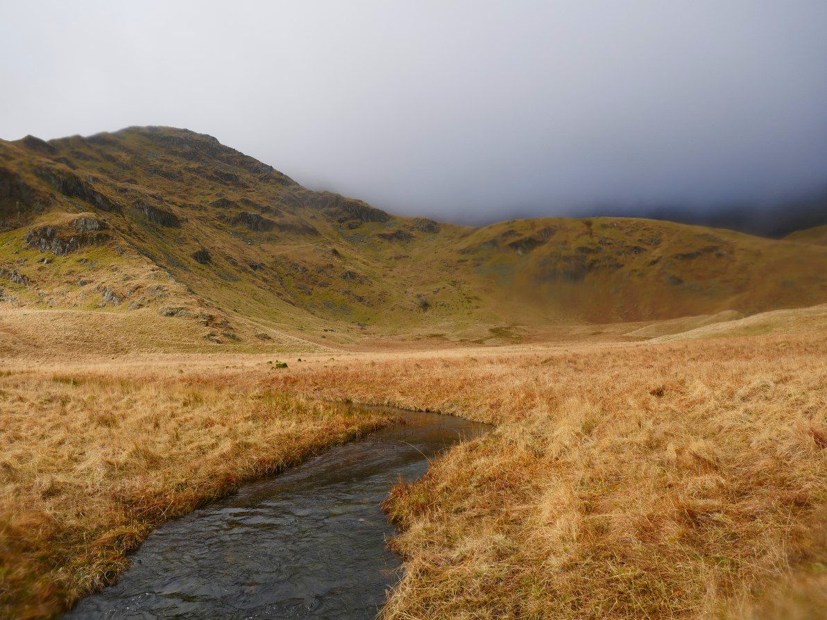
I'm still following the beck and here it's flowing down through this flat area named as Mardale Waters on the map. I still couldn't cross though as although a lot slower running the beck was too wide to jump across. Just before I took this photo there was a really heavy five minute rainstorm and I didn't notice the water on the lens.
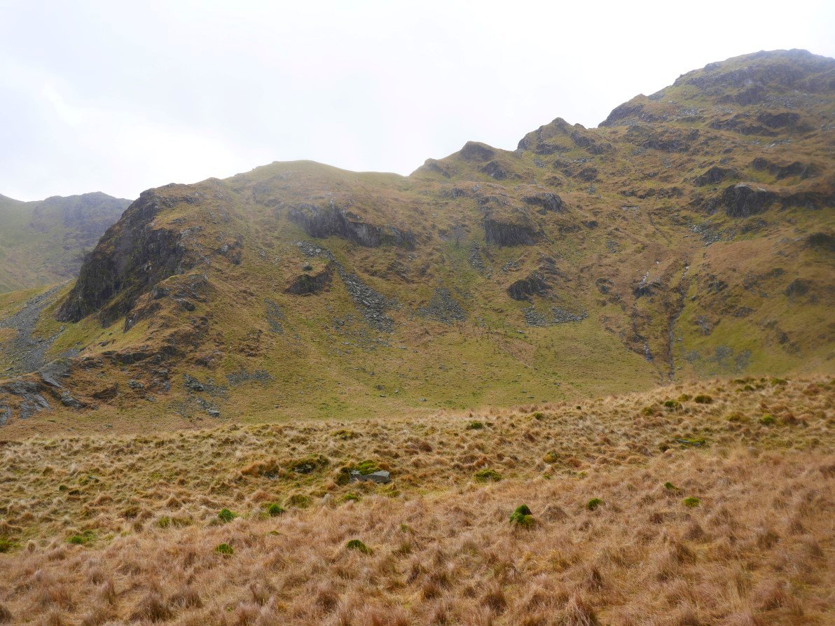
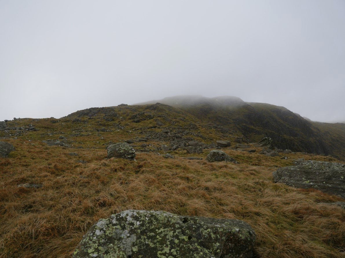
I was really interested to see this gnarly looking ridgeline which when I later looked down from Piot Crag was actually what you could call the east ridge of Piot Crag. It was put on the list for future investigation
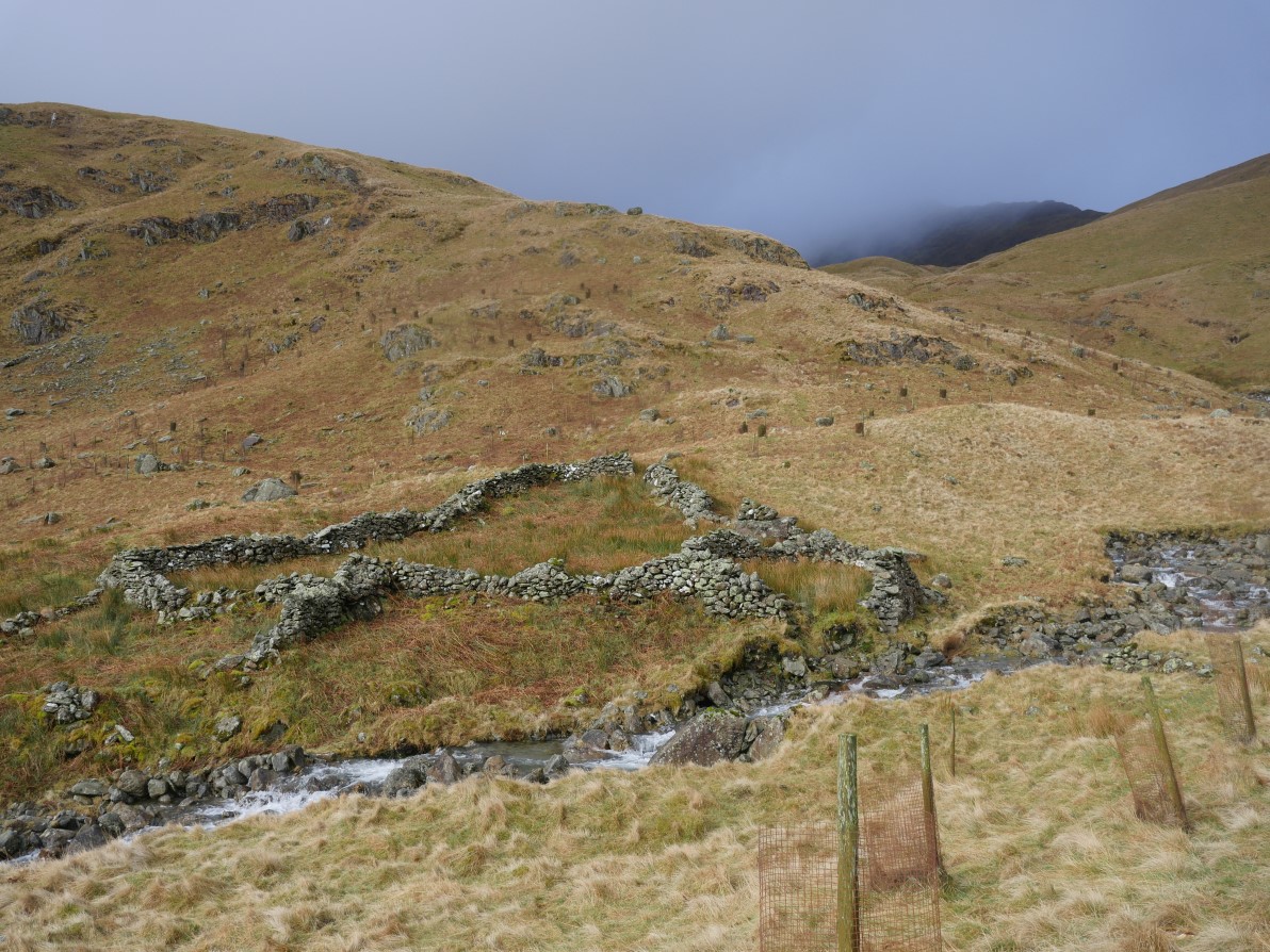
After crossing Mardale waters I came to the large sheepfold marked on the map. Here Blea Water Beck steepend so I was resigned to finding a place to cross near the dam.
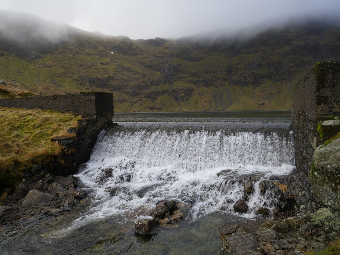
And here is the dam. All my clambering about turned out to be unnecessary as I easily crossed here.
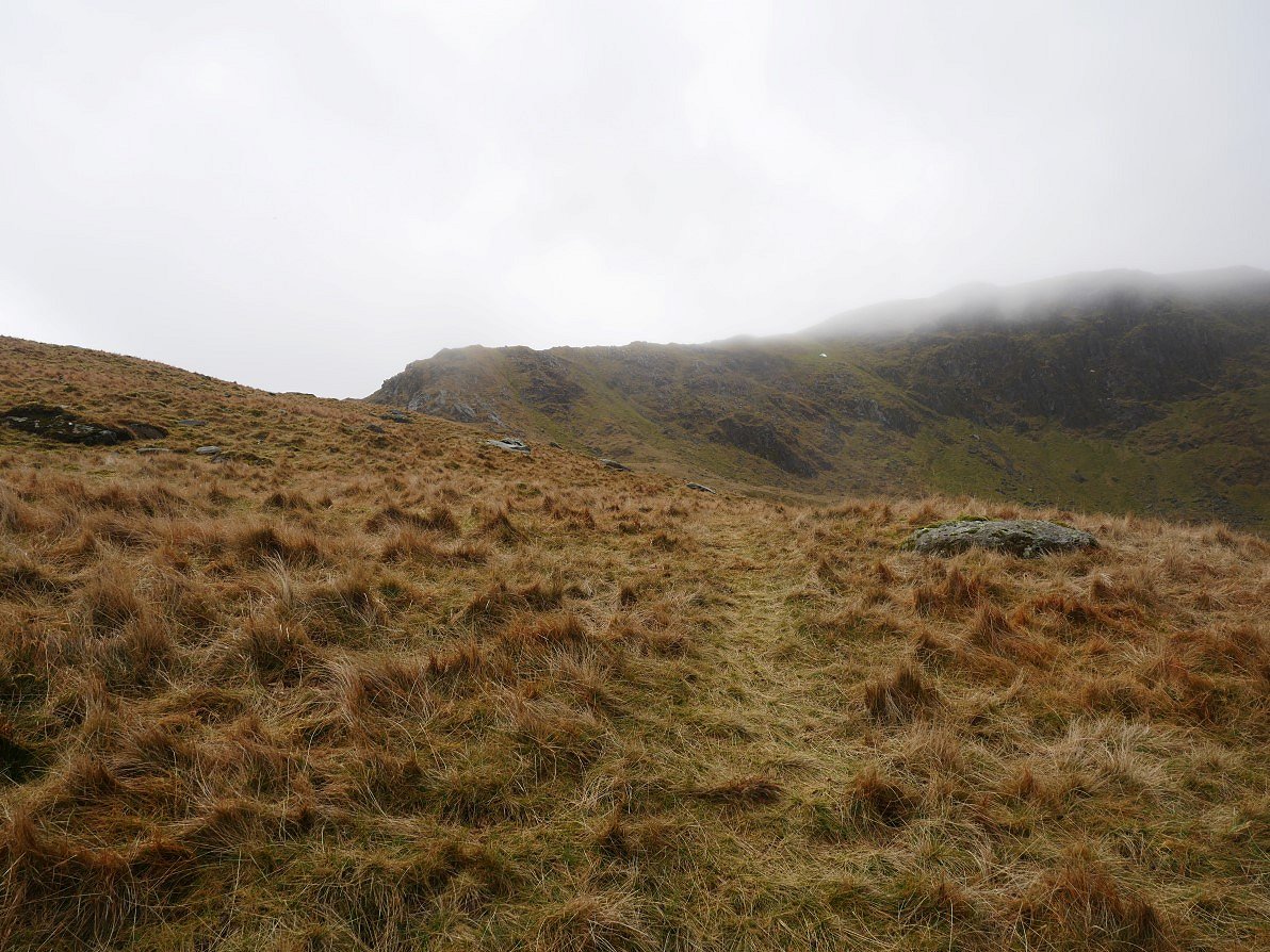
Starting up the grassy slopes of Piot Crag and as you can see there is a bit of a path.
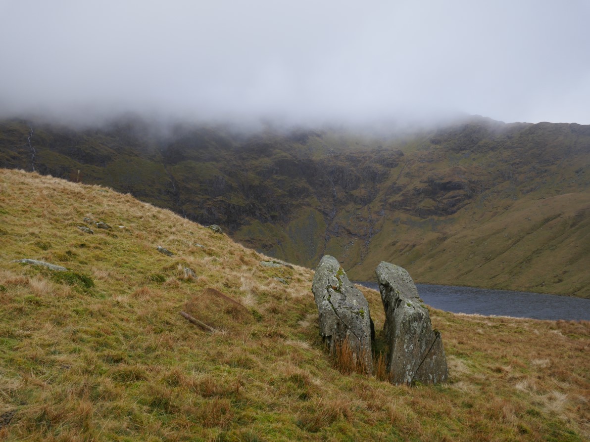
I turned off the path at this distinctive split boulder.
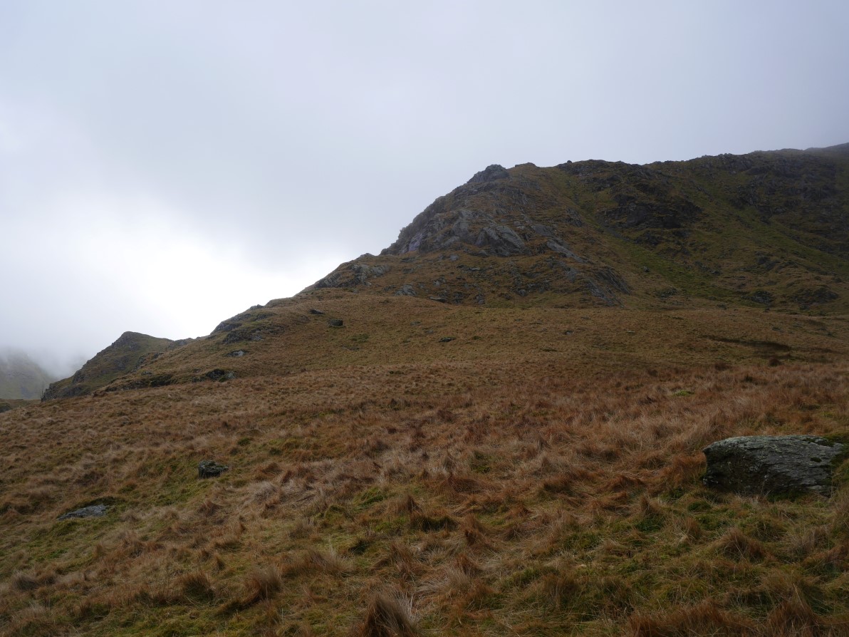
And headed up the grassy slope towards the rocky arete.
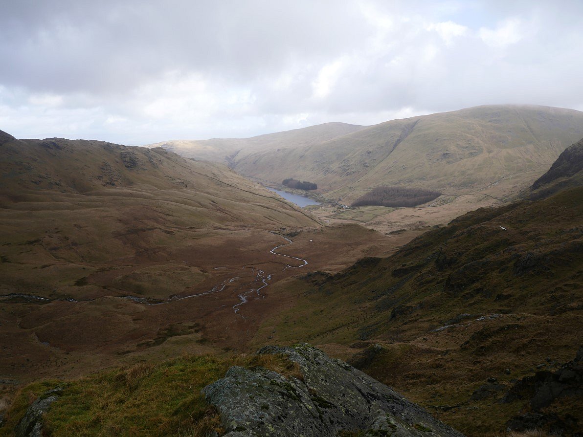
The view back to Mardale Head from just before the arete. I couldn't help but notice the little patch of grass which you could probably just squeeze a small tent on.
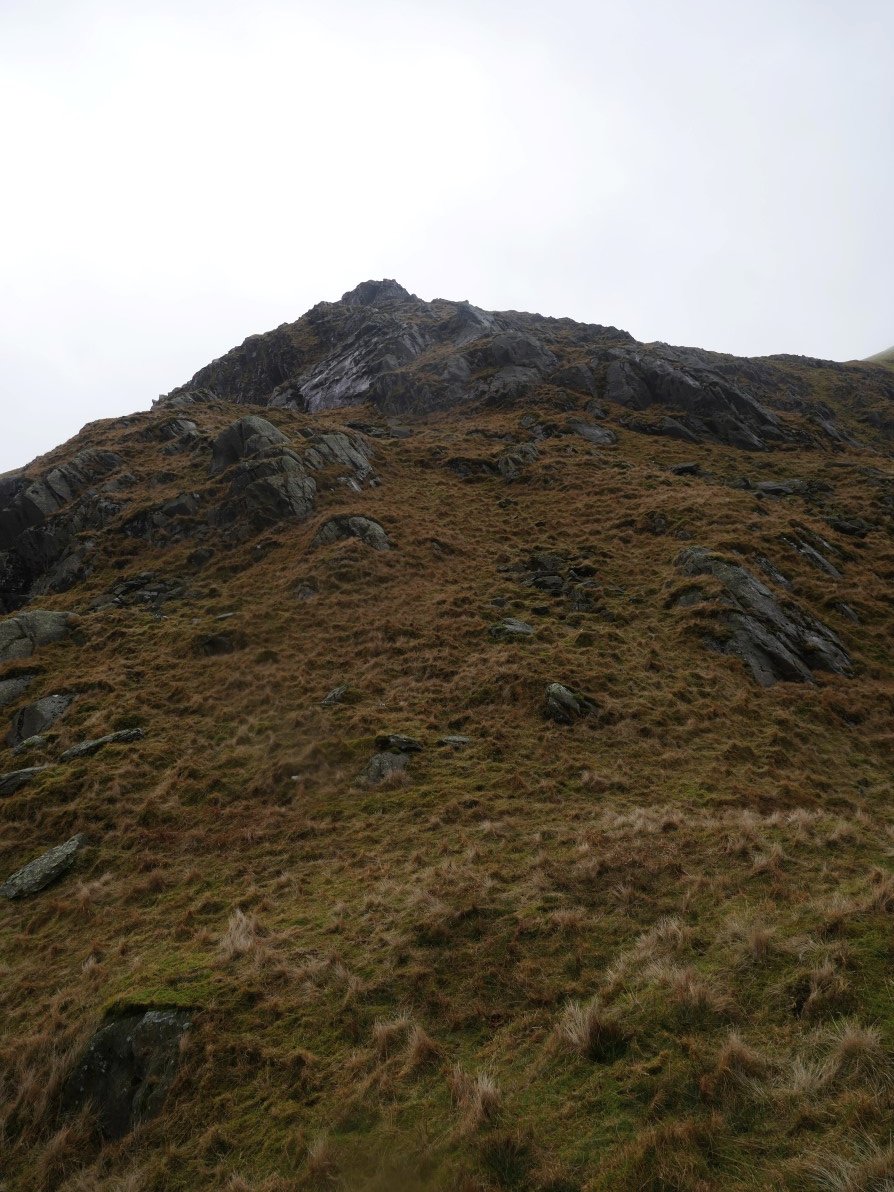
Getting nearer to the rocky stuff.
And looking back down the mainly grassy climb.
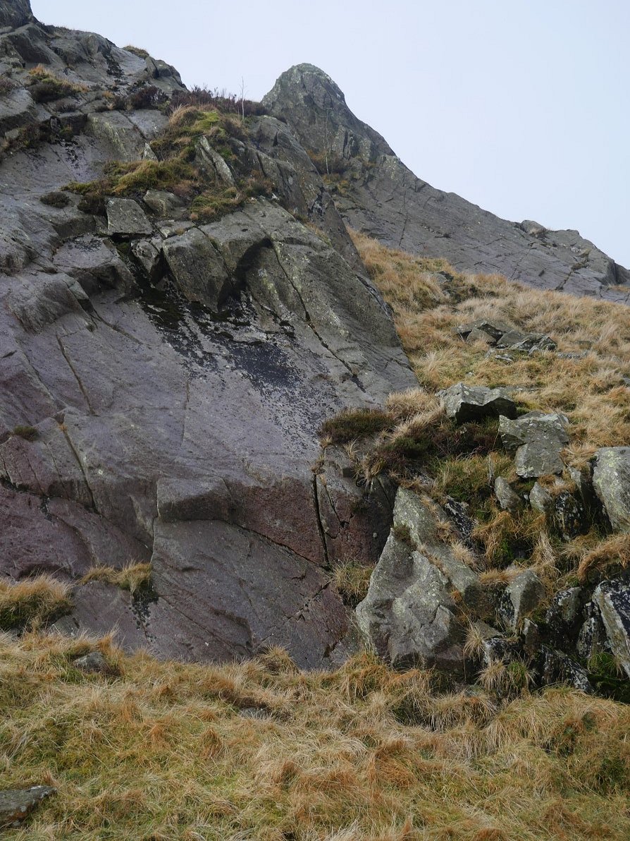
I could have actually turned these small crags by going around to the right but the rock had dried out and the handholds were good so I managed to get up without much bother ( but as always you must use your own judgment of what you are comfortable with ).
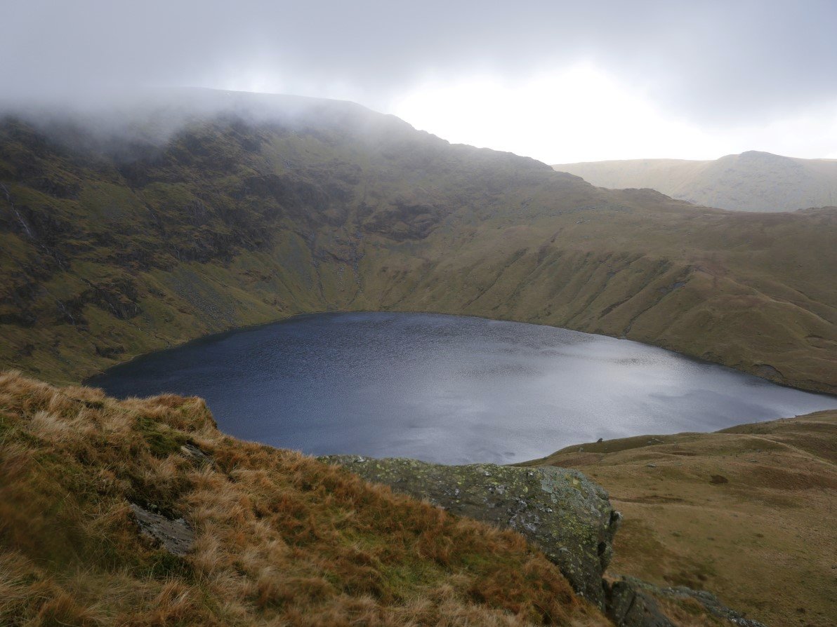
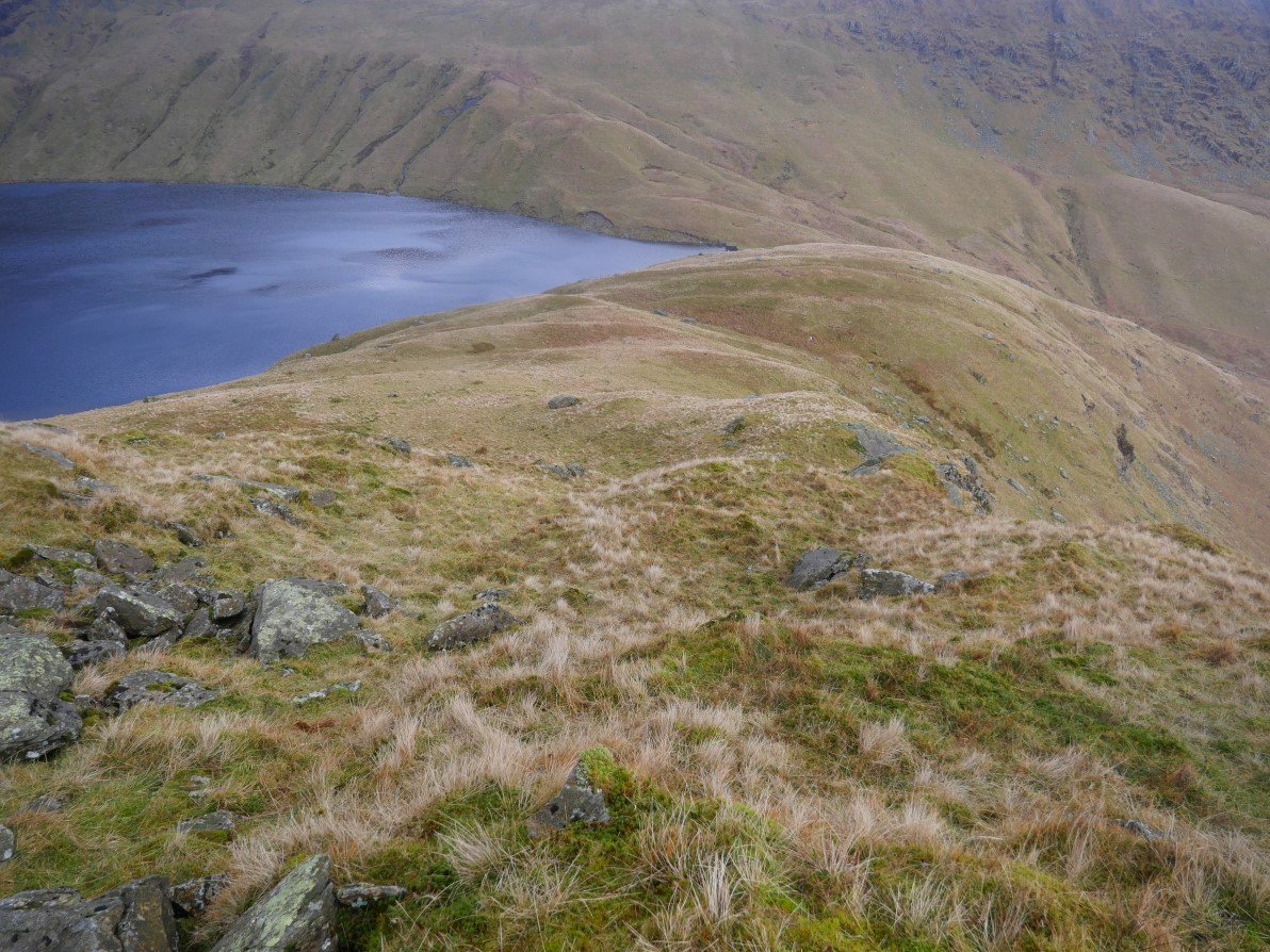
The view down to Blea water from the top of the short scramble.
Next I climbed this this grassy rake and threaded my way through easy rock steps to easier ground.
The sun has returned and it's now a lot brighter over Mardale Head.
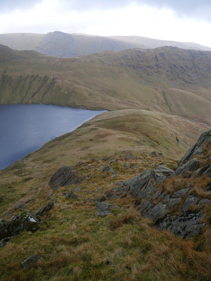
After the grassy rake the ground becomes a lot easier. The ridge carries on up to Mardale Ill Bell which is in the clag above. I didn't need to visit the top in clag so I traversed across the fellside heading for the path down to Nan Bield.
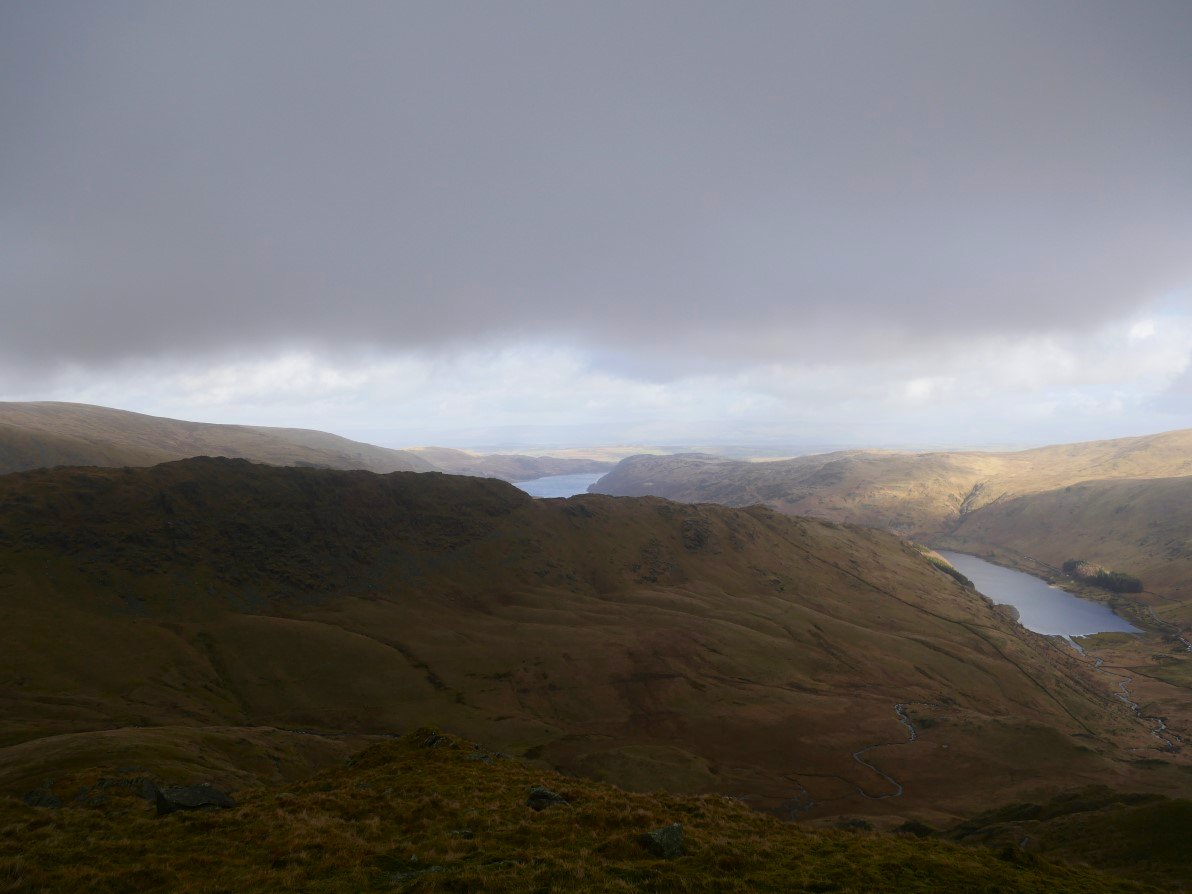
The Rough Crag ridge and far end of Haweswater. The wind here was very strong which was a problem as I was now starving and wanted to find a sheltered spot to have my lunch.
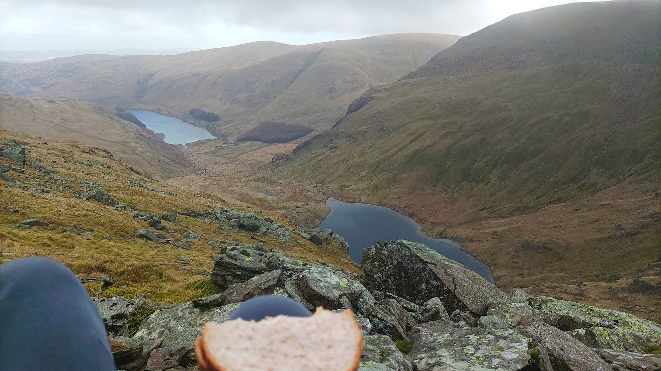
Luckily I found a place where two boulders had fallen together to make an ideal wind shelter and with the bonus of having a great view of Haweswater and Small Water. It really was a butty with a view.
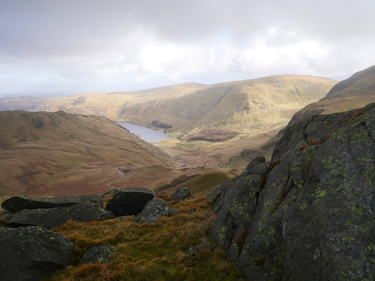
The wind was quite strong and cloud was whipping over Harter fell so when I reached the Nan Bield pass I decided that rather than fight the wind on the high route back to Sadgill I would take the valley route. Kentmere reservoir below with Yoke and Ill Bell above.
Looking around the corner to Hall Cove.
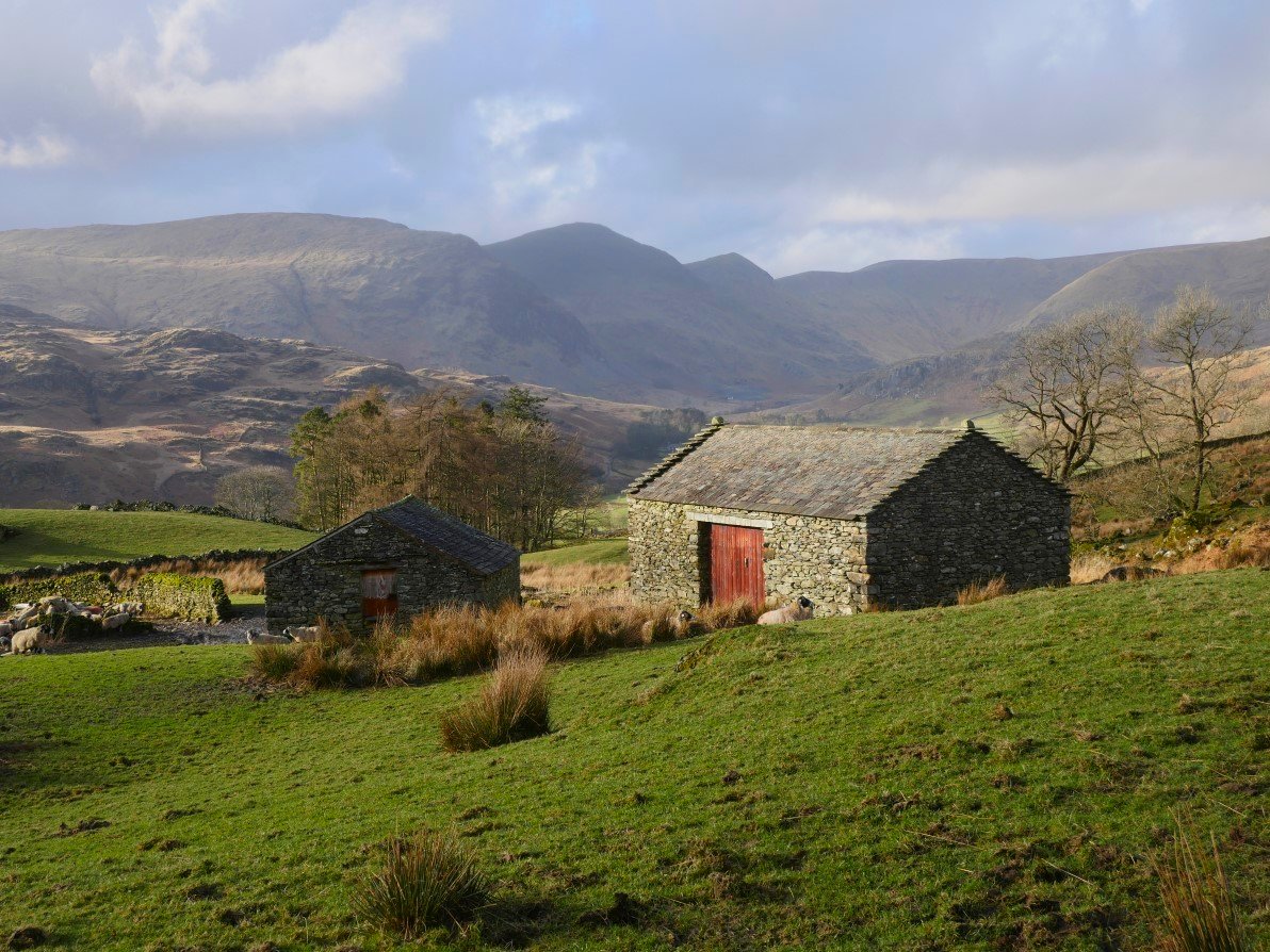
One day I'll have a look at the quarry dug into the side of Kentmere Pike but not today.
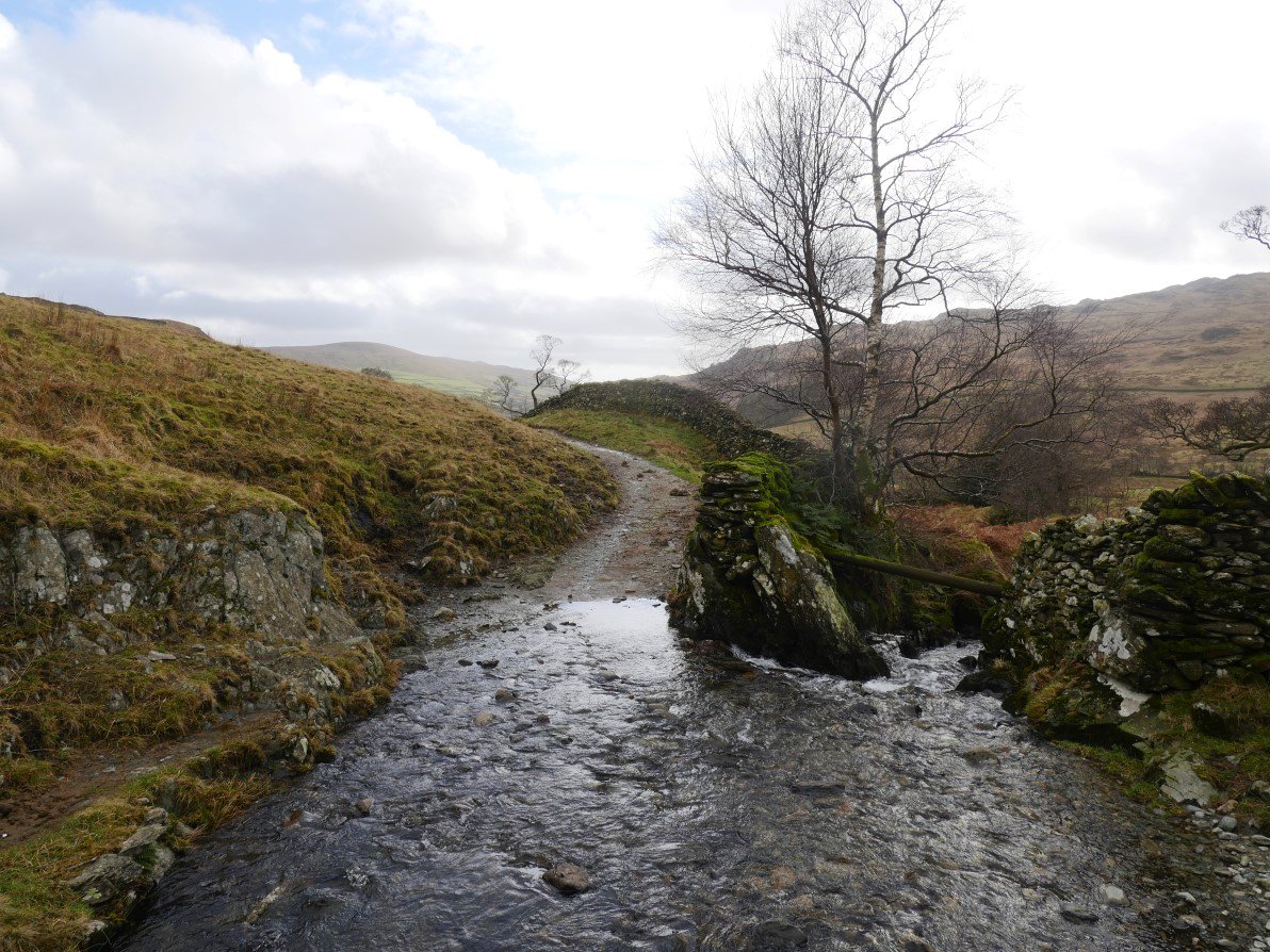
By the time I had reached the footbridge crossing Ullstone Gill the weather had improved and from then on it was a lovely afternoon.
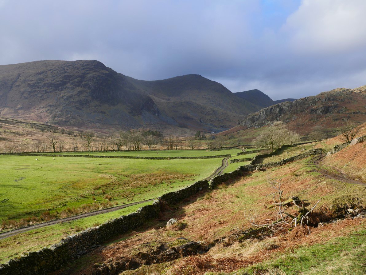
Yoke, Ill bell and Froswick.
And again seen through the houses at Overend
Of course I knew that the valley route had the little sting in the tail of the climb back over the pass to Longsleddale. This is the start of the pass at Stile End where I interrupted these diners having an afternoon snack.
A last look back to Beautiful Kentmere.
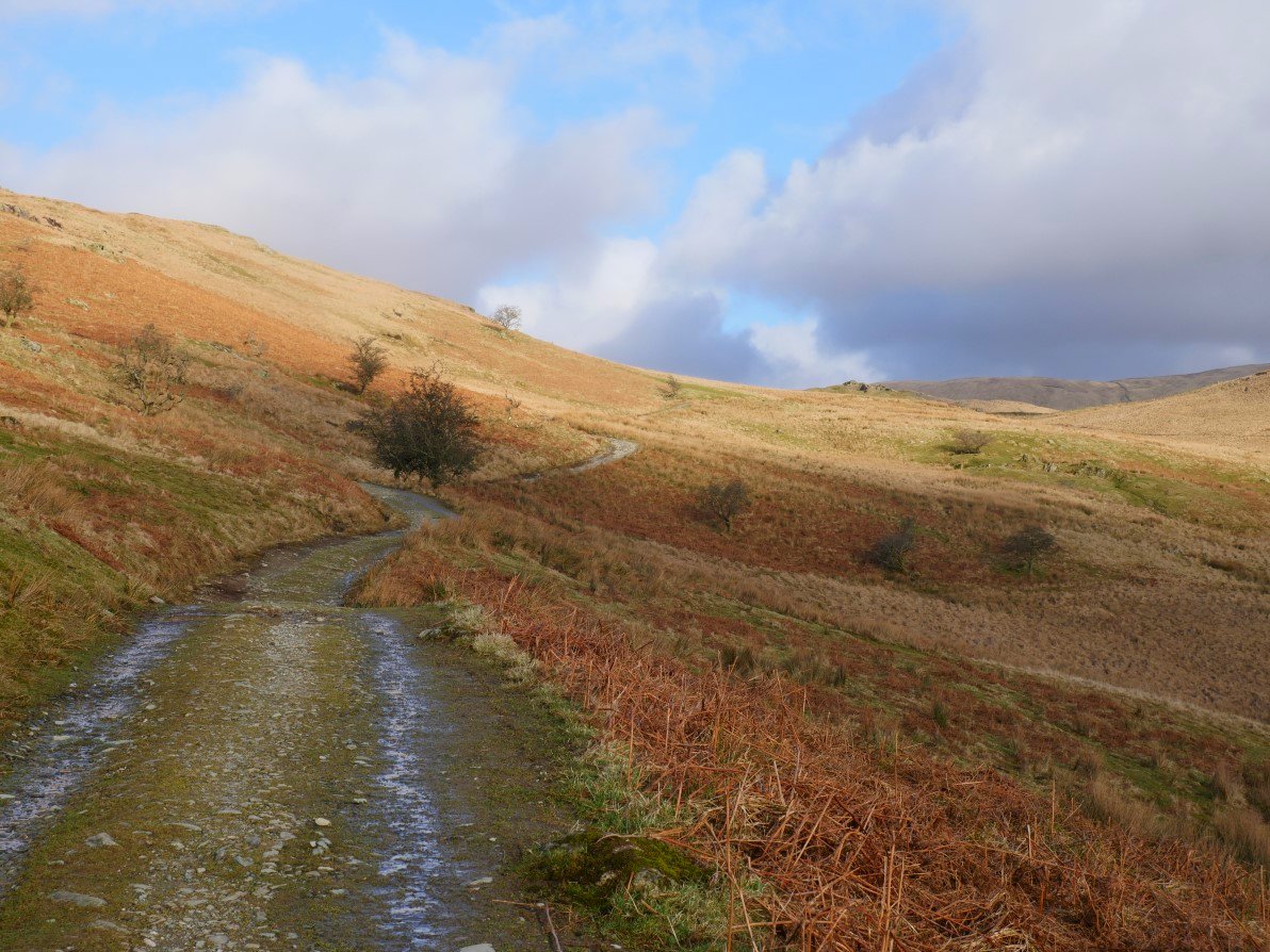
I've not walked up this pass for a year or two so had forgotten that on this side it's quite a gentle climb so the sting in the tail wasn't painful at all especially as the sun now was actually quite warm so it was a lovely way to end my walk.
Coming down the steeper side with Longsleddale below and Sleddale Fell and Grey Crag above.
Longsleddale looking a lot brighter than this morning. Up to the left Goat Scar is catching the sun as are Buckbarrow Crag and Tarn Crag on the right. I was back to my car in five minutes after quite a tough but enjoyable day out.
If you would like to watch a video of the Piot Crag climb, Andrew Foster has one on his briliant youtube channel
Previous walk -- Langdale to Skelwith Bridge via Little Stand - Next walk - A Wet Sleddale round