WWW.KARLSWALKS.CO.UK
PICTURES AND TRIP REPORTS FROM MY WALKS IN THE ENGLISH LAKE DISTRICT
|
E-mail - karl@karlswalks.co.uk |
When on walks in this area I've looked up to the high ground above Longsleddale and thought that it would be interesting to go and have a wander to see what there was to see. Most of the week had been warm and the weekend was set to be even hotter and as walking in hot weather is not my favourite thing a little tour of these modest fells would fit the bill nicely.
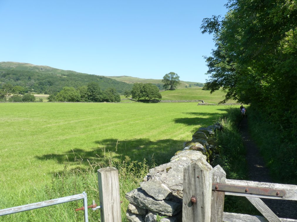
When I walked from Staveley a few weeks ago I really enjoyed the short section of the Dales Way by the river Kent so after parking at my usual spot near Barley Bridge I walked through the village until I came to the path across the fields.
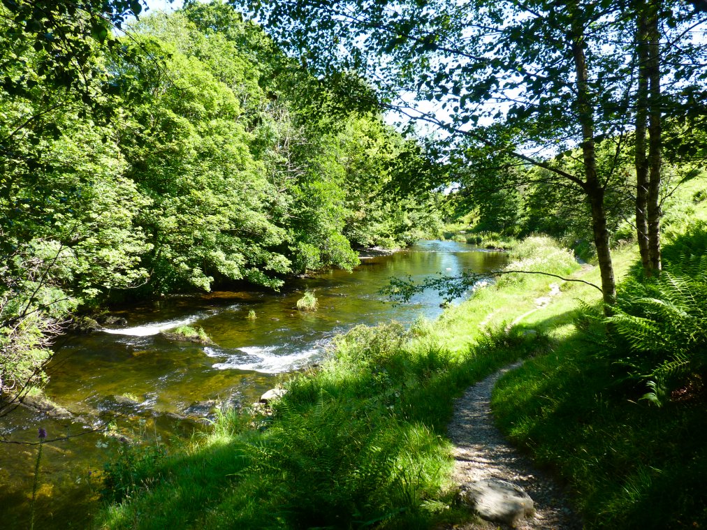
The Dales Way by the Kent. The heron which we saw last time we came was flying around again.
From the Kent I climbed through the houses at Hundhowe and then up to Ghyll Pool by way of a very narrow and overgrown path I collected a few nettle stings and bramble scratches to add to the bites from usual hot weather pests of horse flies and midgies.
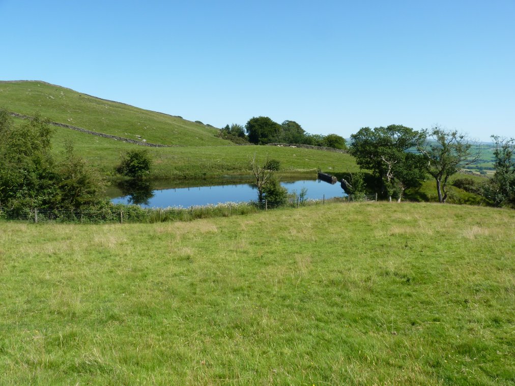
Very hot work on the path rising from Potter Tarn to Gurnal Dubs. Nice view back to the Coniston fells though.
.
Up to now I hadn't seen anyone beyond Staveley but there were quite a few swimming in and sunbathing by Gurnal Dubs.
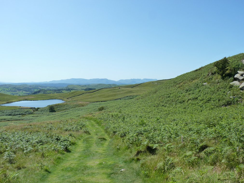
I looped around the tarn and picked up the track heading into more rugged country.
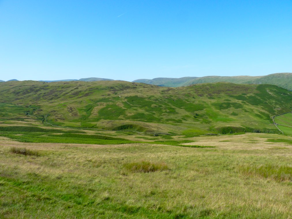
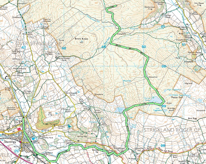
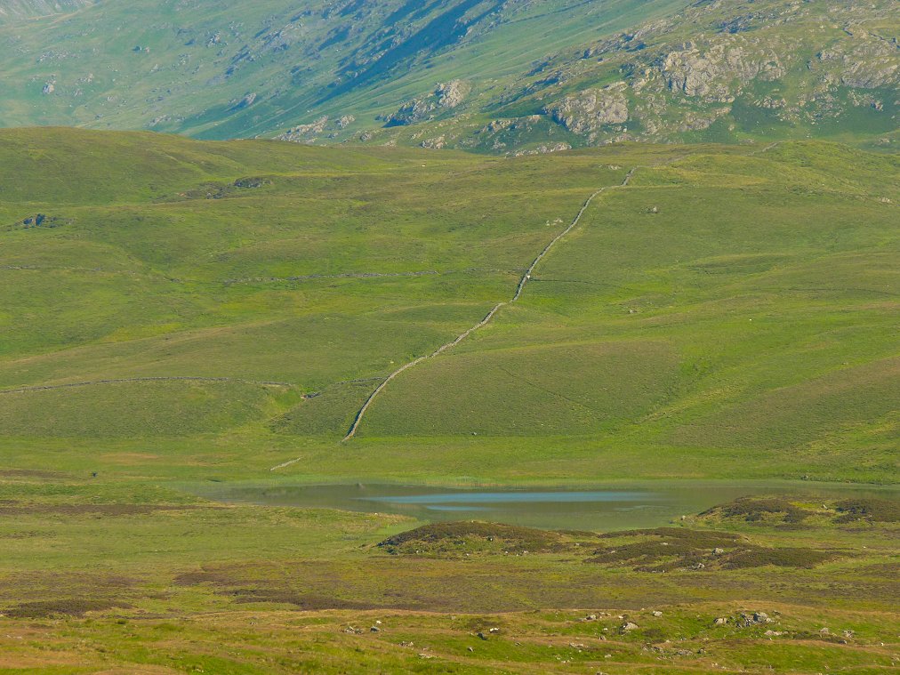
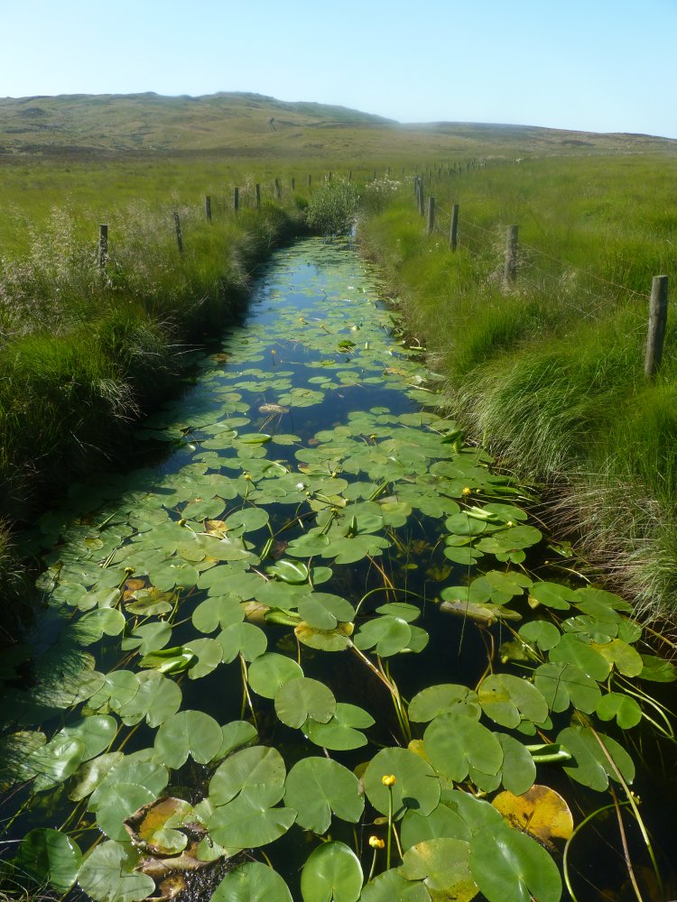
The path ( such as it is ) loops lazily around the knolls and hollows making it's way towards Black Beck. I got first sight of the high ground where I was planning to camp.
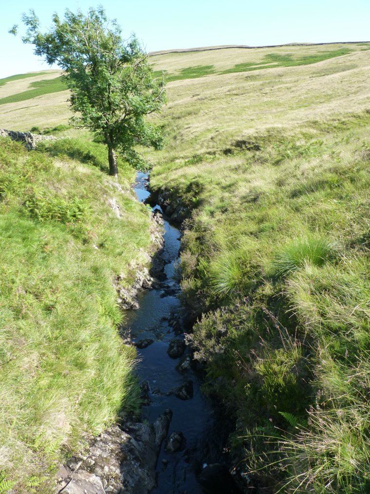
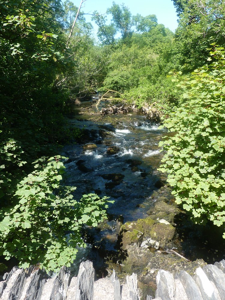
Before starting the climb to my planned pitch I have to descend by the wall and cross a footbridge over Dockernook Gill and this is the view back to the higher ground from where I've come. Just as the previous time when I crossed this bridge I thought that there is a lovely picnic spot by the stream.
A clear track leads up the hill and with the height comes a great view of the Ill Bell ridge, Thornthwaite Crag and Kentmere Pike.
I walked to a small hill with the spot height 411mtrs on the map which had plenty of nice tent pitches but I thought I'd carry on along to Dockernook Crag which from the valley looks very impressive but from the top it doesn't really have the steep abrupt edge with a valley view that I thought it might have so I came back to mount 411 and pitched there .
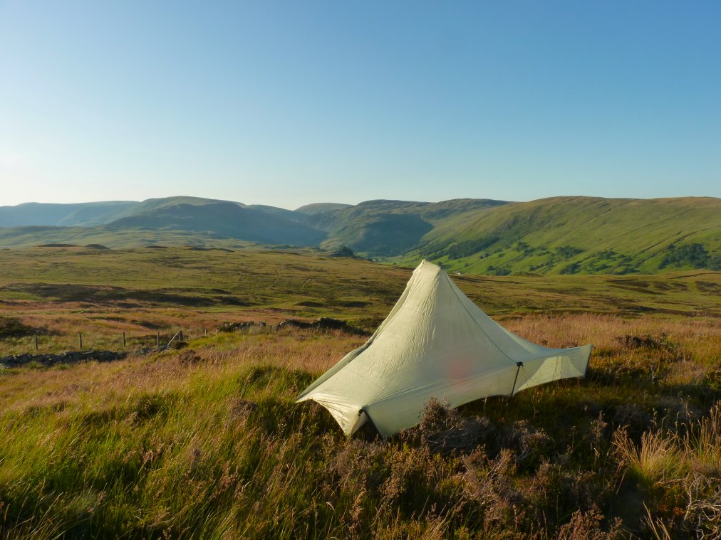
My pitch looking along Longsleddale with Branstree at it's head.
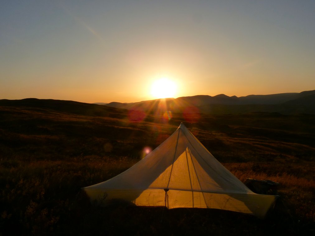
As lovely as blue sky days are you usually need a bit of cloud to make a sunset really special but it wasn't bad. It's just after nine now and it's still very warm.
Tarn Crag, Grey Crag and the Bannisdale fells are catching the setting sun
It's gone half past nine and the sun still dosen't want to go to bed.
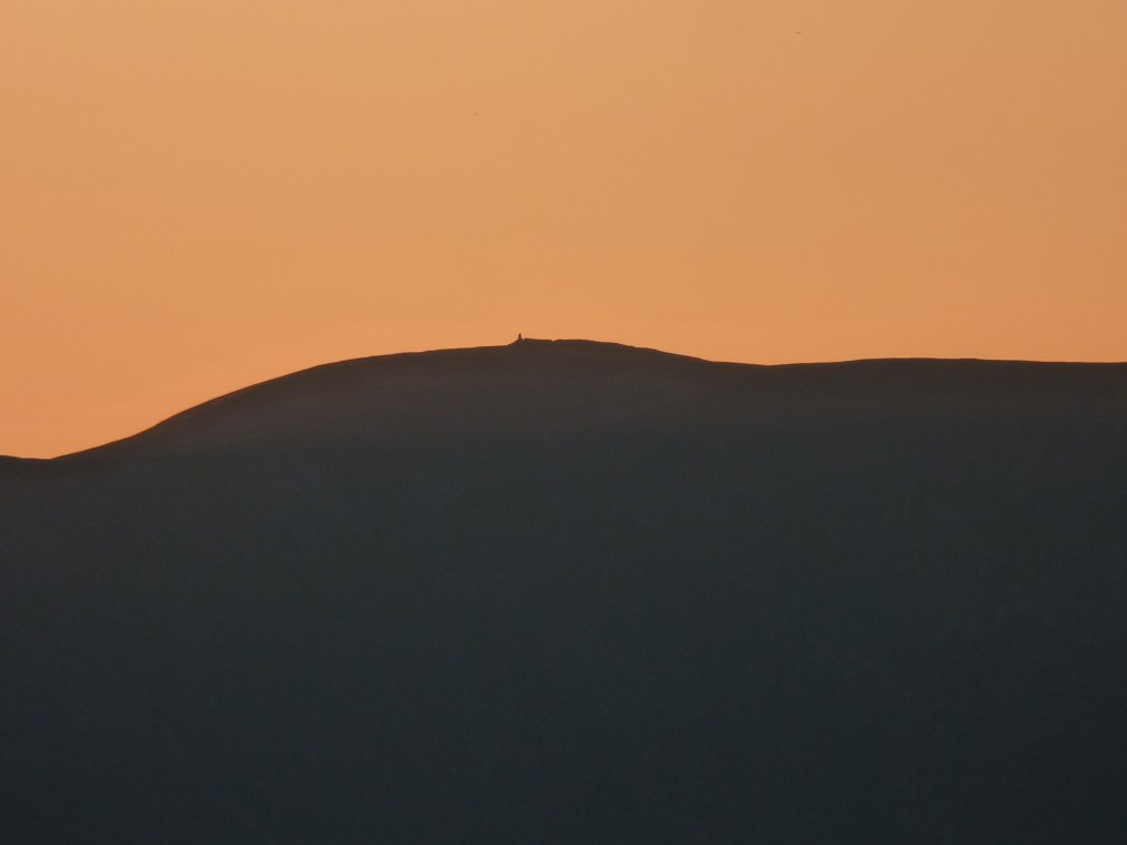
After the sun did finally drop down behind the fells to the west I noticed Thornthwaite beacon standing out.
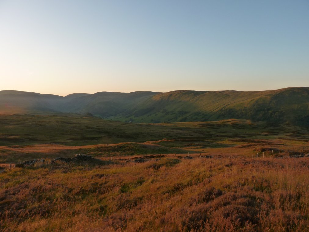
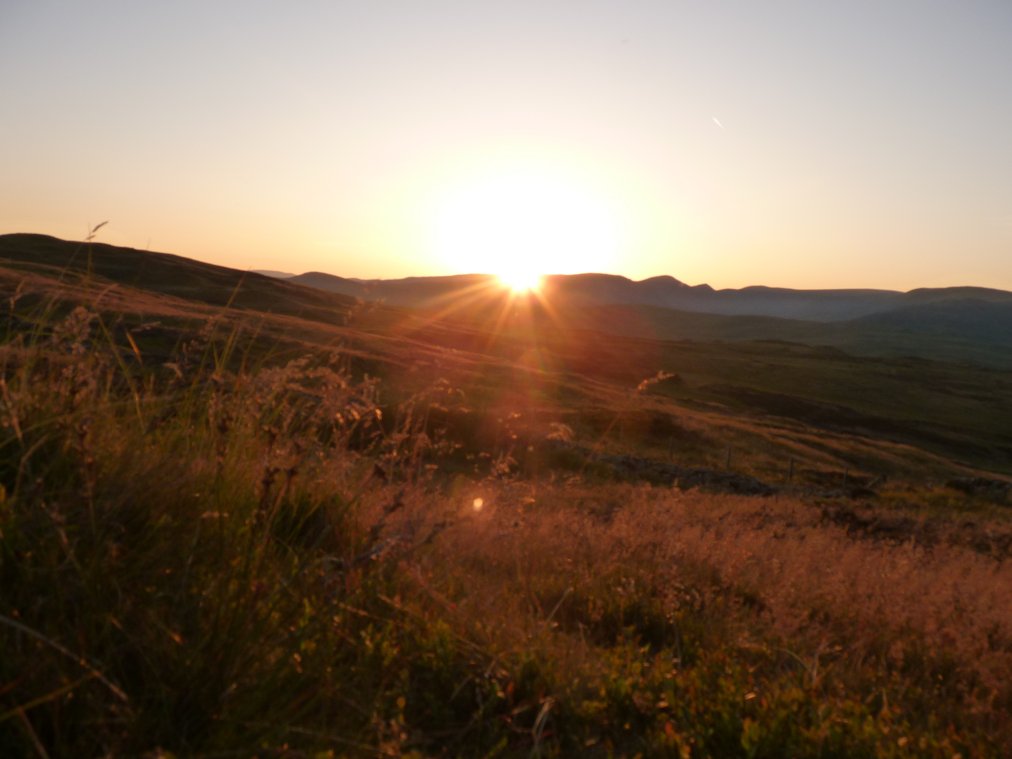
I set my alarm hoping to catch the sunrise but the heat had really tired me out so I silenced the alarm and had a couple more hours. Eventually I had to get up because even this early in the day it was very warm.
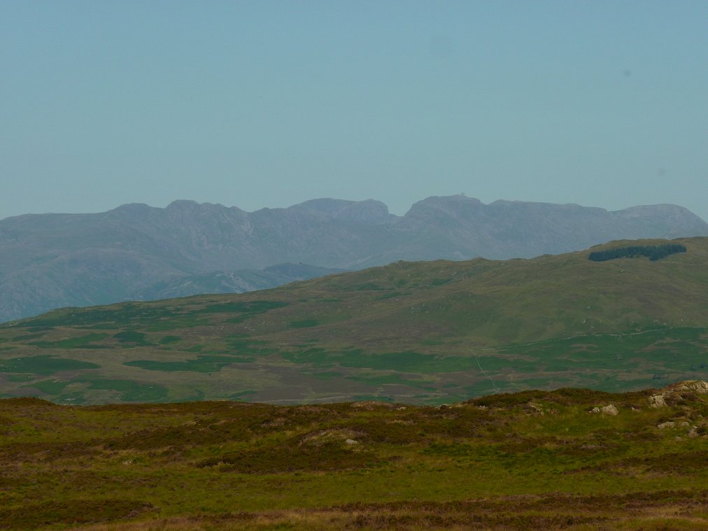
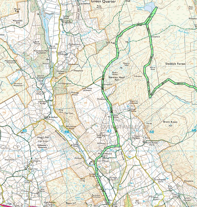
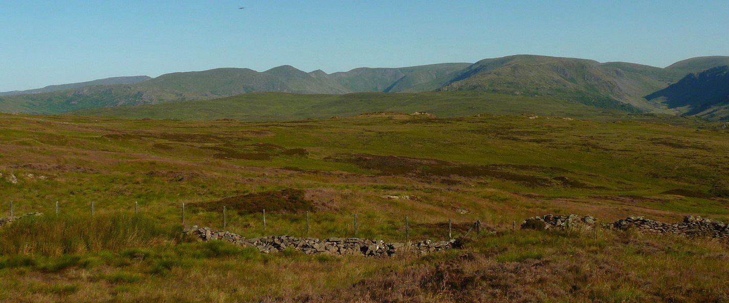
After breakfast I made my way to the next top along which although not named on the O/S map is according to the database of British hills is called Sleddale Forest which also seems to be the name for this general area whatever it's called there is a great view of the high fells with the dip of Mickledore between Scafell and Scafell Pike very prominent.
I descended slightly over some boggy ground and made my way over to a top with the spot height of 415Mtrs
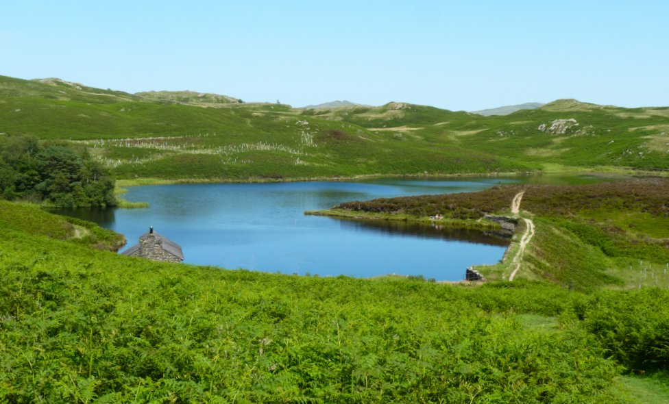
The day seemed if anything even warmer than yesterday and I really wanted a swim so as Skeggles Water was not too far away I made my way in it's general direction.
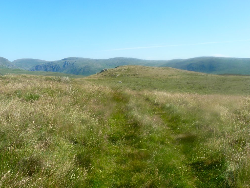
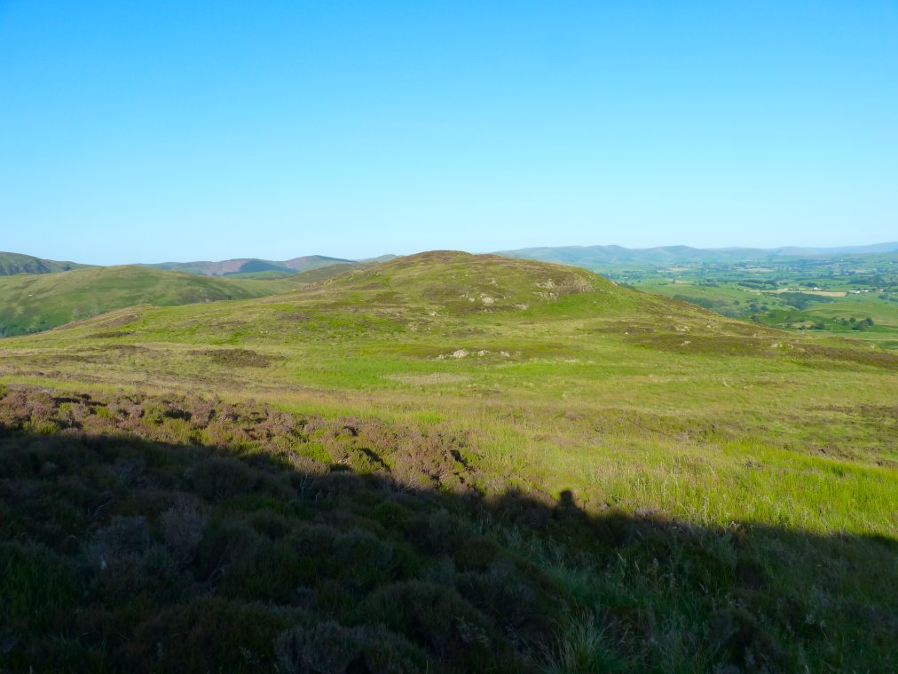
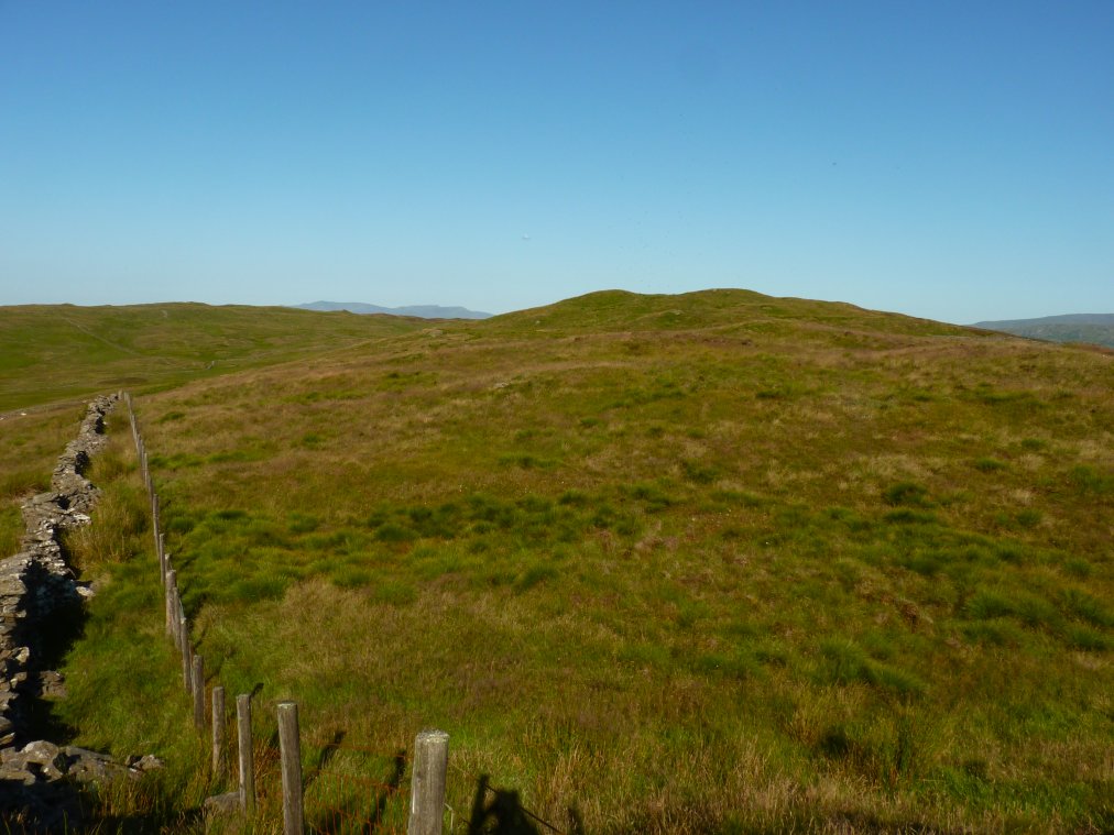
Although there are very few paths there are quite a few quad bike tracks and this one is taking me around White Moss to an attractive little top.
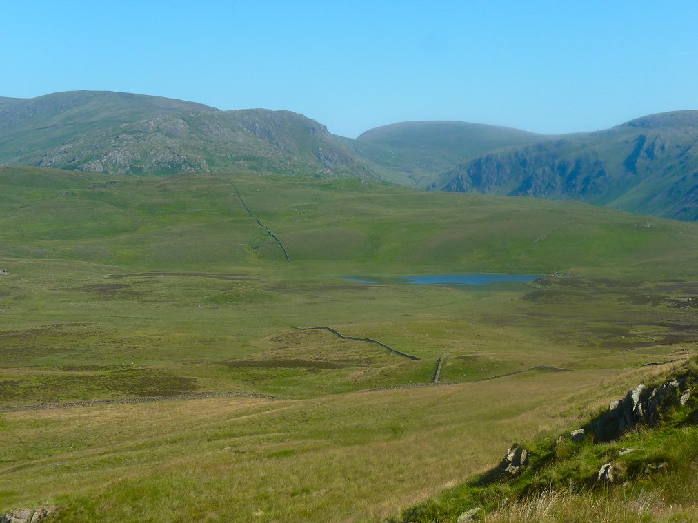
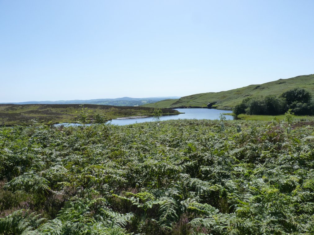
Which has a good view of my swimming pool and of Goat Crag with Branstree in the background.
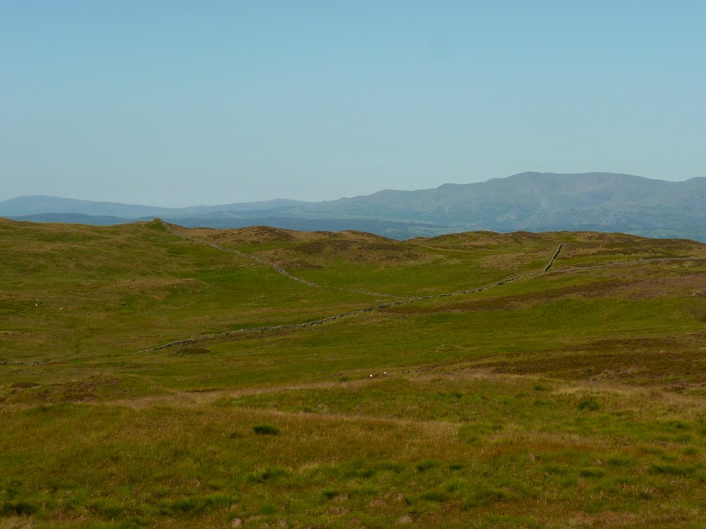
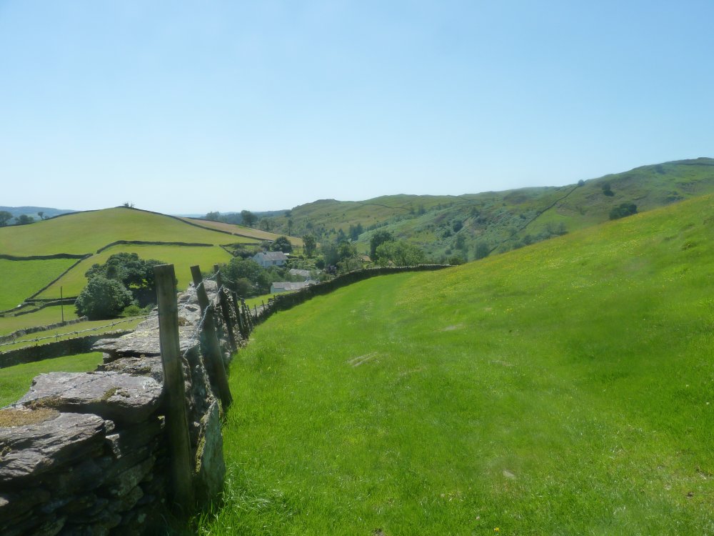
Looking back to the high ground from where my route meets one of the paths running from Longsleddale to Kentmere
A small footbridge crosses Skeggleswater Dike
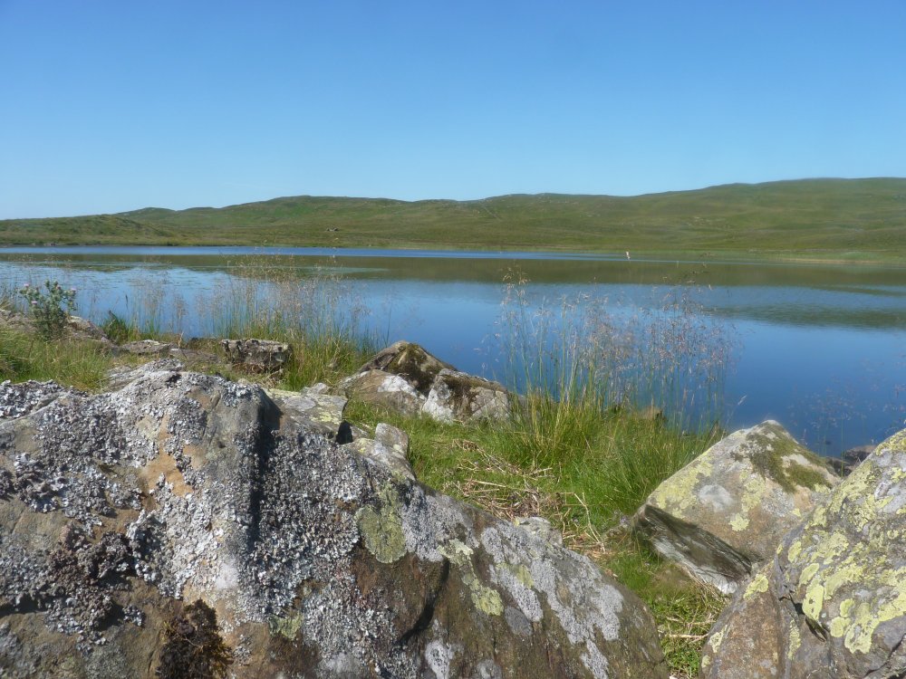
Lovely down by the water and I had a very refreshing swim ( and as Skeggles Water is quite deep it was a swim not just a wallow ).
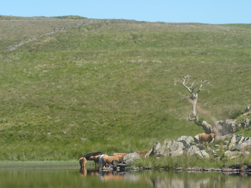
I had to share it with a few other bathers but they didn't seem to mind.
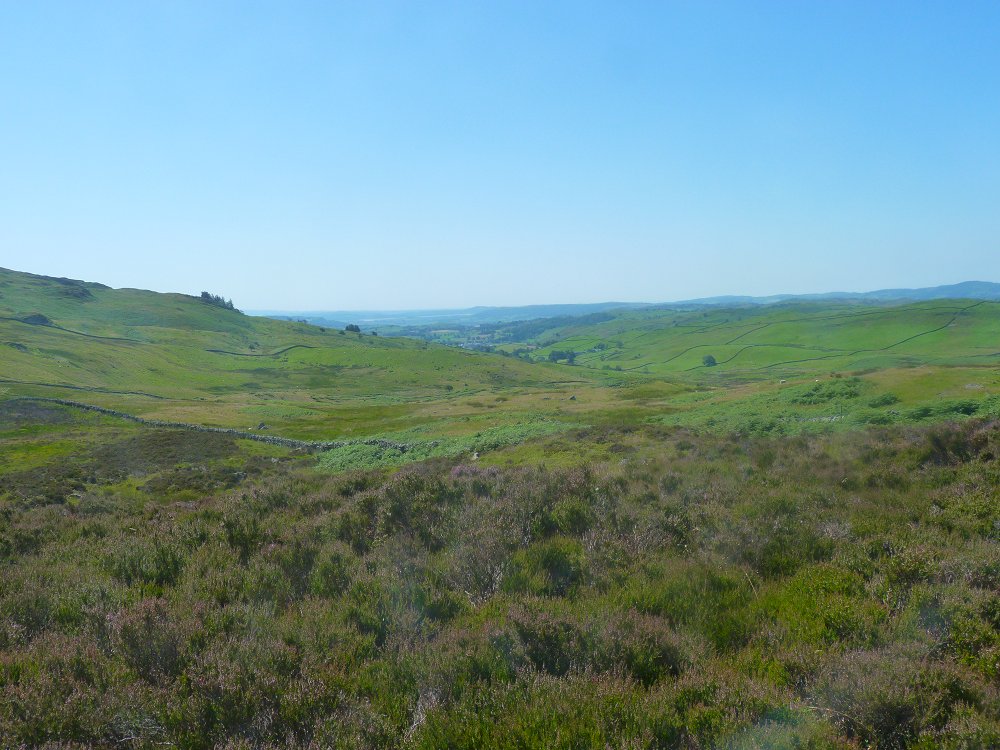
After quite a long break drying off in the sun I headed down the track to Staveley which just around the corner in the valley.
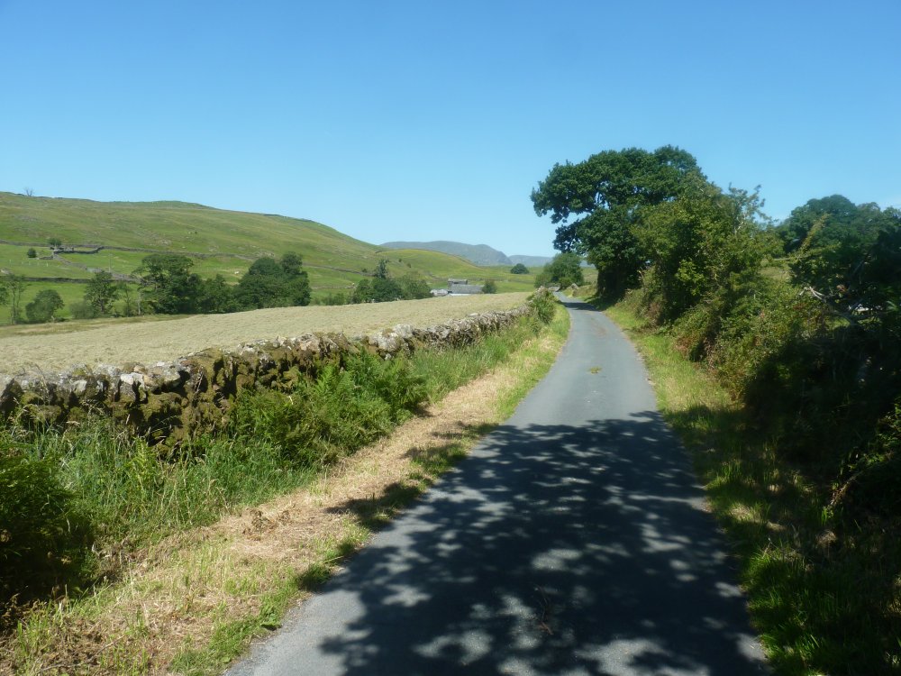
But ( and I thought this last time I walked down this way ) it seems a long way along the track and then the road especially in the heat. This is looking back along the road just walked.
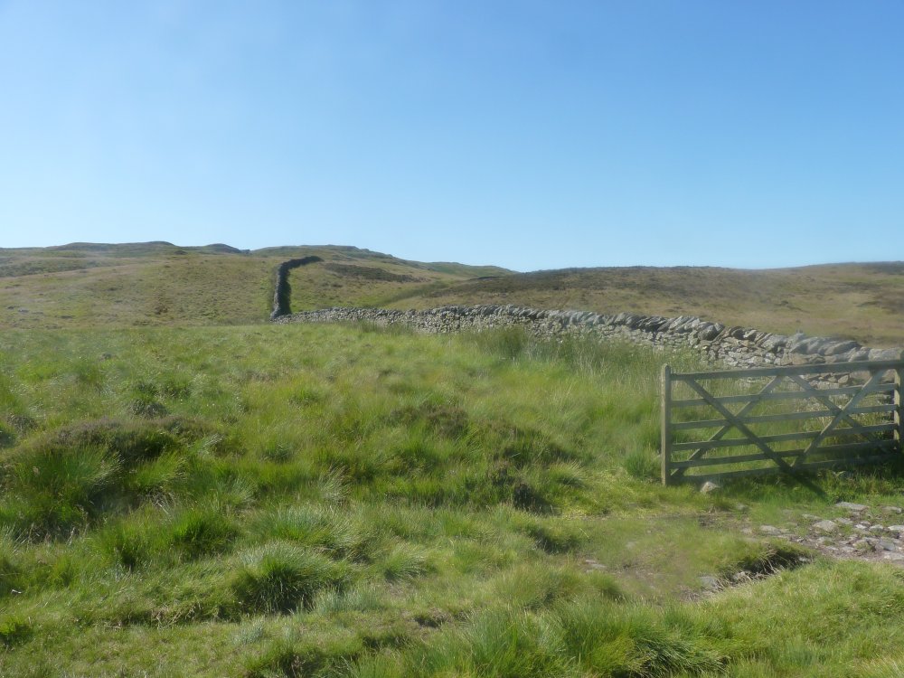
Instead of following the road all the way down to Staveley I climbed over the wall stile and took the path through Elf Howe which was very nice underfoot.
The track from Elf Howe meets the road and in a few minutes I crossed Scroggs Bridge and in a few minute more was back at my car.
Previous walk -- Around Dunnerdale - Next walk - The Scafell fells