WWW.KARLSWALKS.CO.UK
PICTURES AND TRIP REPORTS FROM MY WALKS IN THE ENGLISH LAKE DISTRICT
|
E-mail - karl@karlswalks.co.uk |
Another ride up to the far east of the national park this week for a walk to a spot that I've wanted to visit for a year or two. The weather was set to be sunny but quite chilly, and as I pulled into the long layby at Shap summit the ice warning sounded on my car
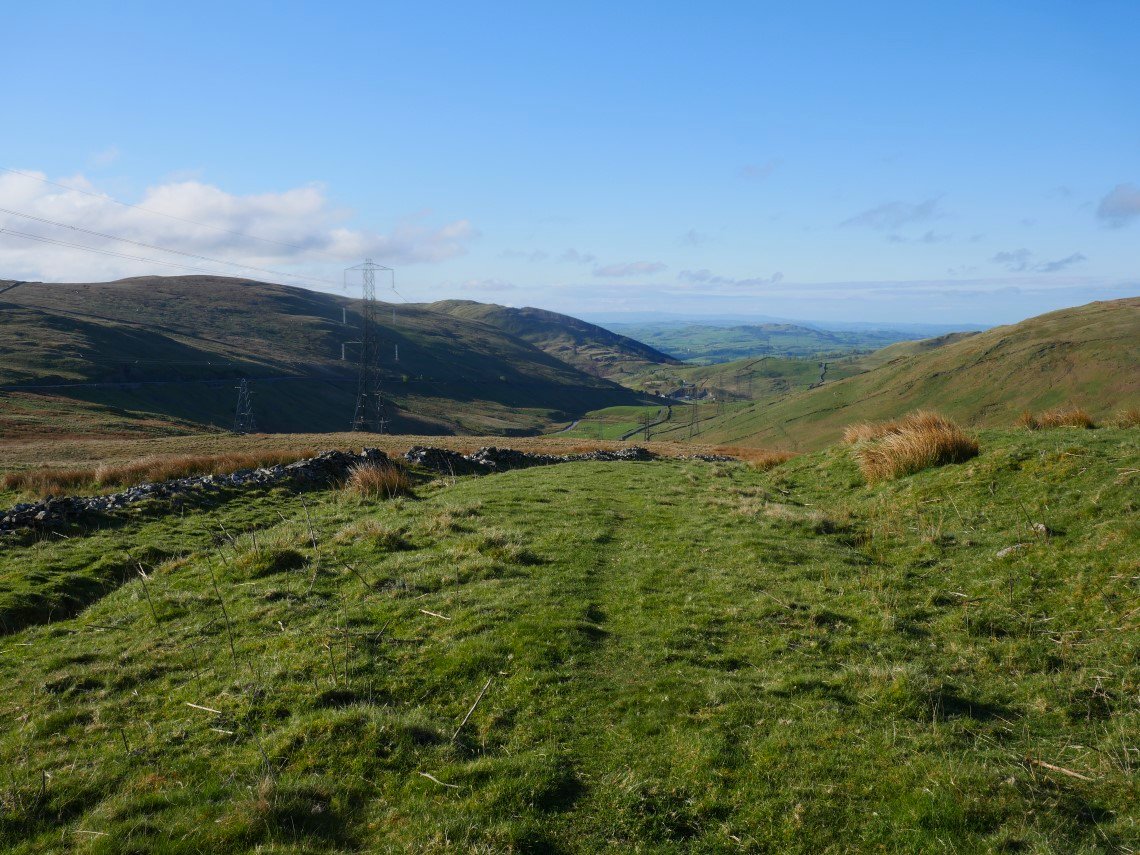
After booting up and locking up I crossed the road onto the track heading for Whatshaw Common, just before the path steepens there is a hand gate on to the old Shap road which winds down the hill to Crookdale Bridge. This is looking down the old road.
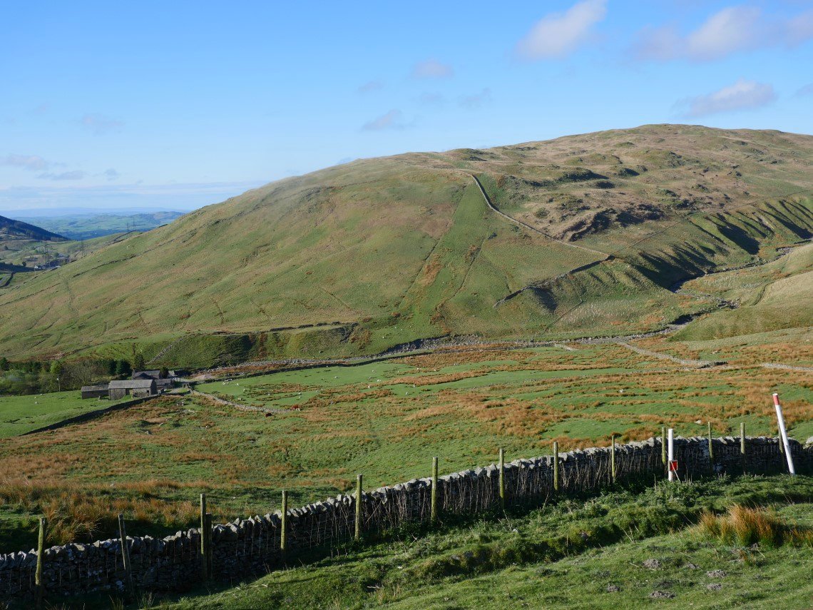
The farm is at the bottom of the hill and above it High House Bank my first climb of the day.
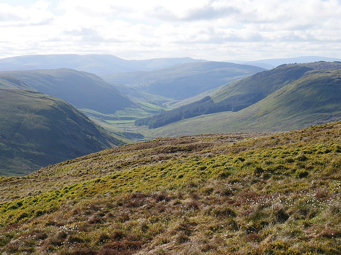
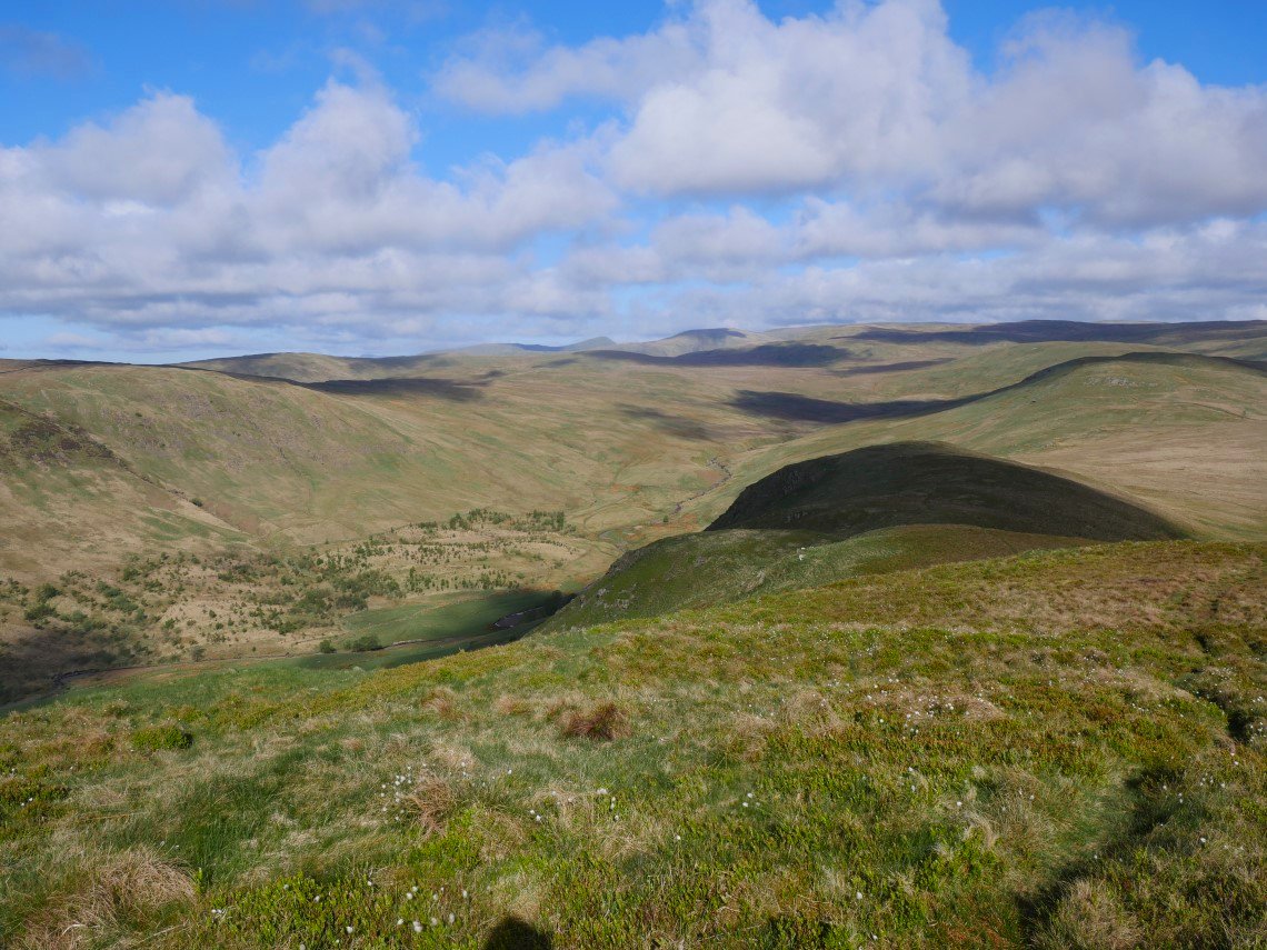
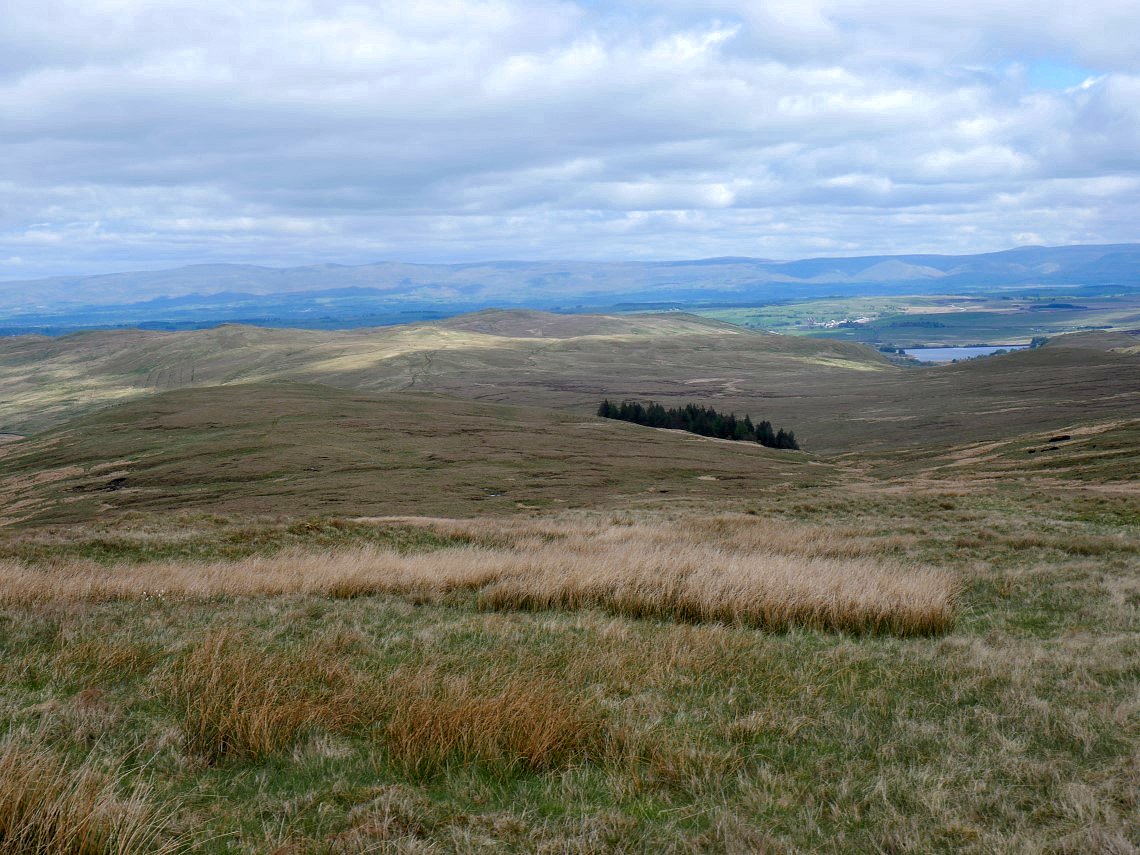
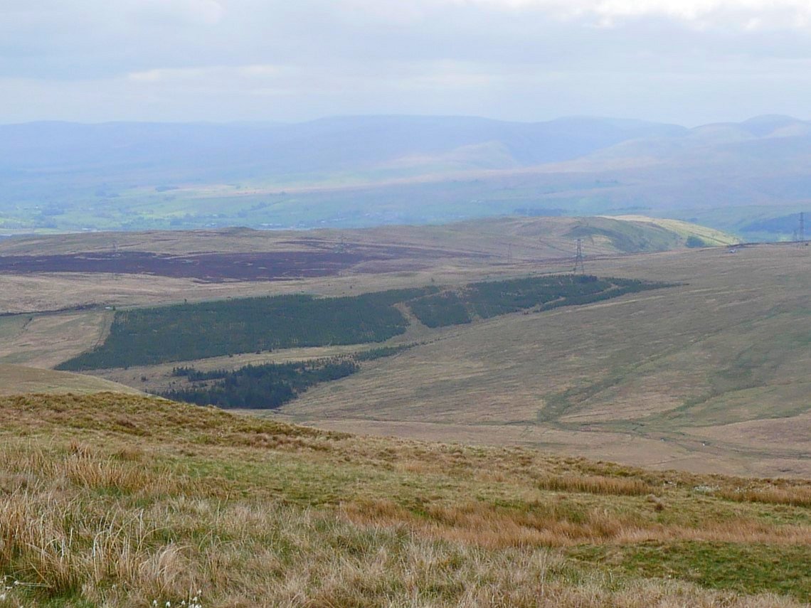
From the steep climb the view soon opens up to Borrowdale in Westmorland with the Howgills in the distance.
And from the summit the view is of my onward route over Robin Hood and Lord's Seat. Great Yarlside is over to the right with part of its crag in shadow.
.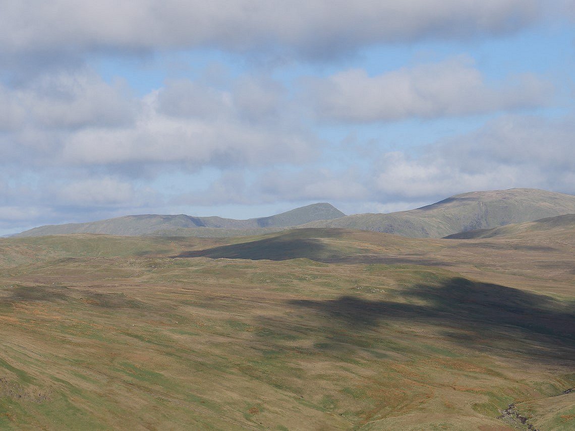
And further afield are Yoke and the distinctive top of Ill Bell.
And even further afield is Scafell Pike.
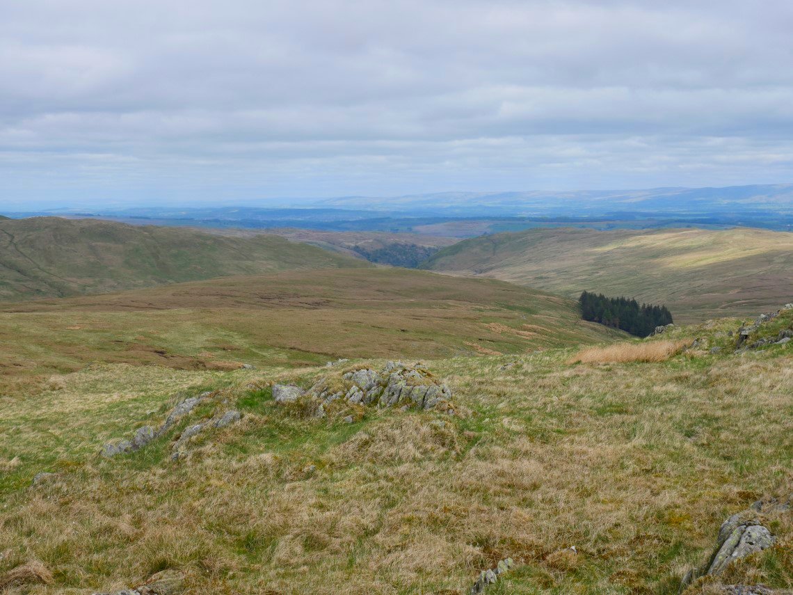
Looking down into the End of Borrowdale
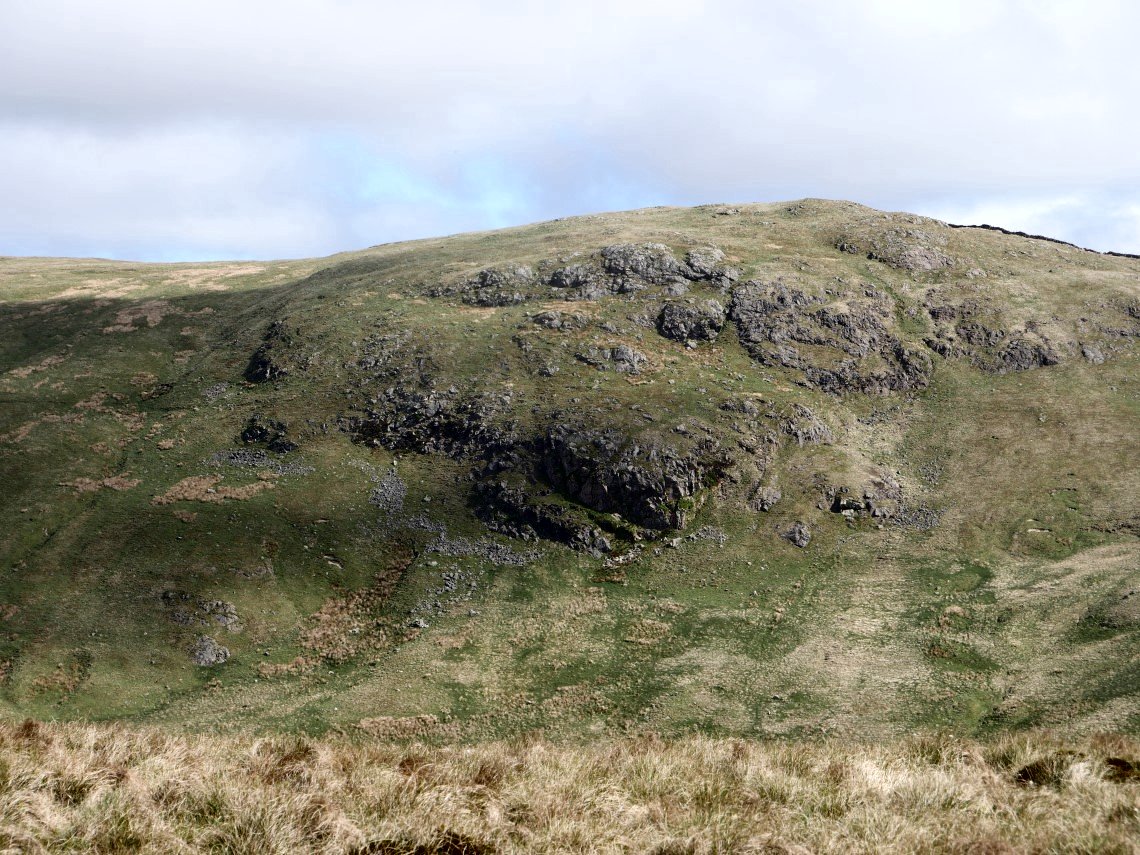
The rugged Yarlside Crag is over to my right.
Looking back with Borrowdale below to the right and the top of High House Bank just visible over Robin Hood.
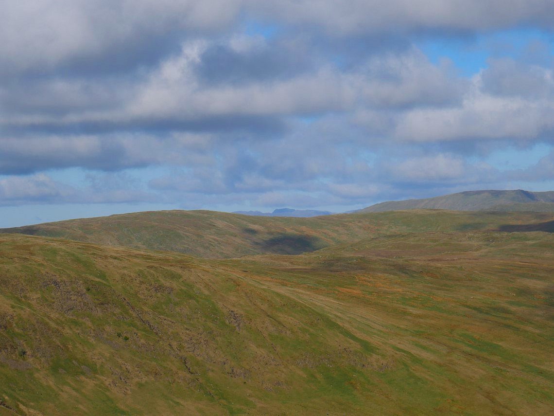
The Coniston fells suddenly seem to spring out of nowhere and don't seem that far away at all.
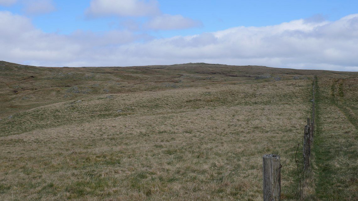
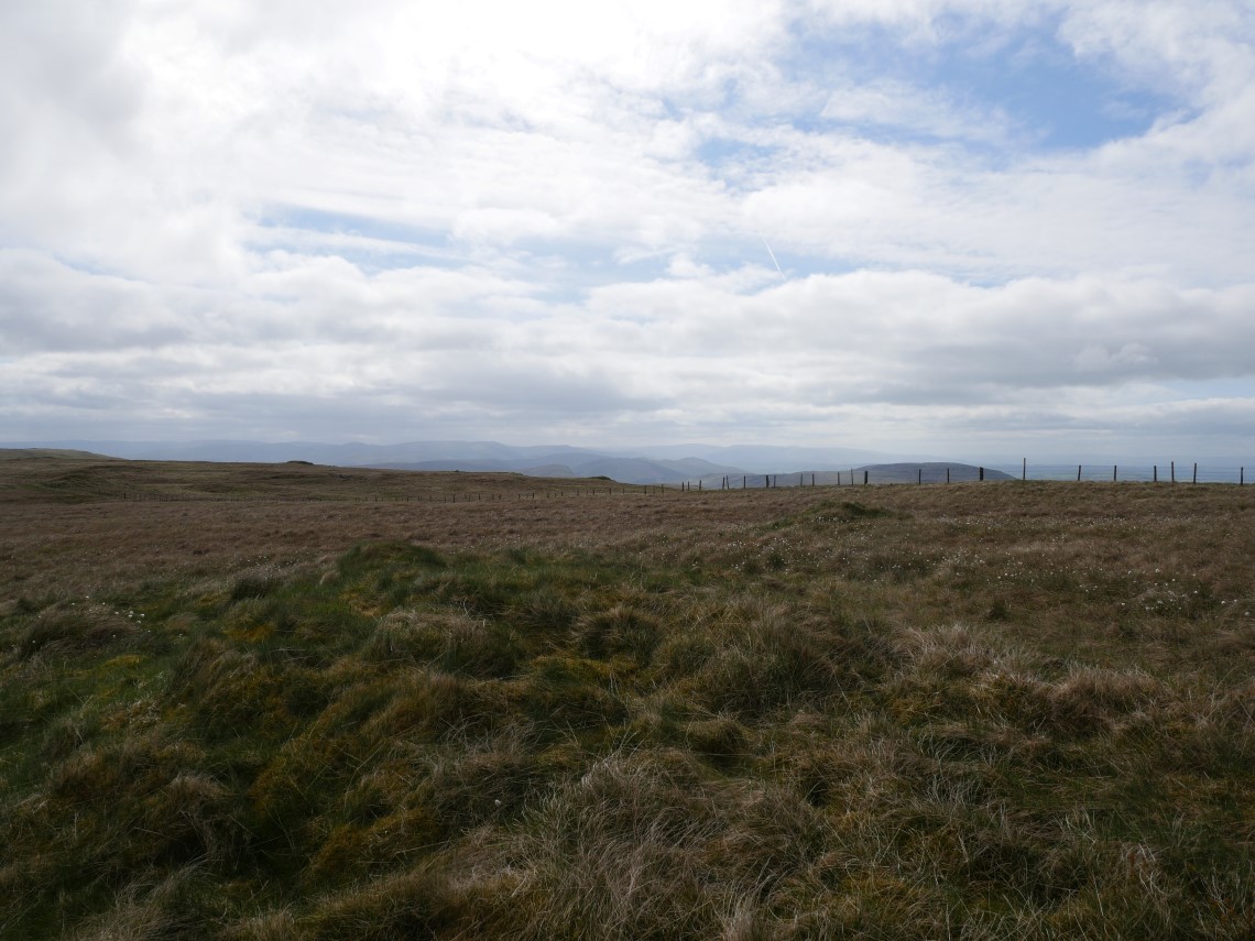
All the way from High House Bank I've been following an old cart track which eventually brings me to this fence which I follow uphill all the way to Harrop Pike..
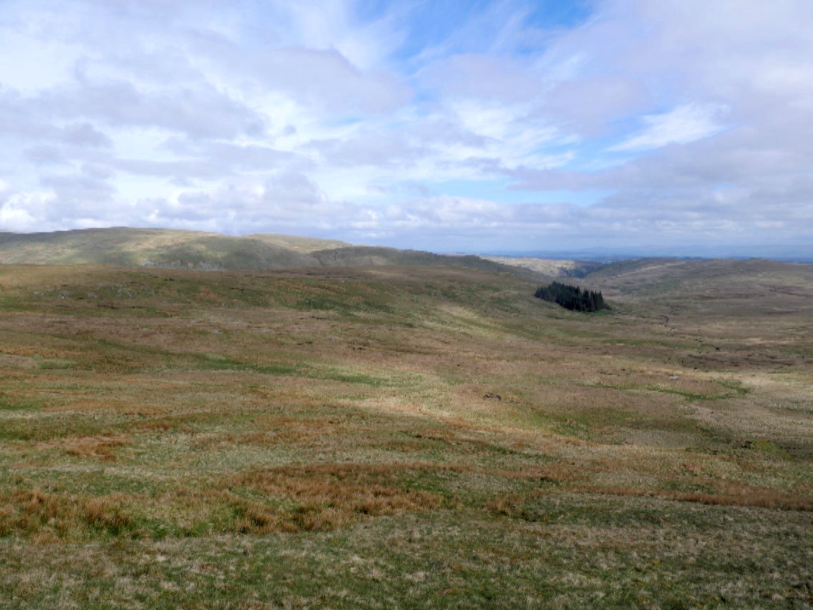
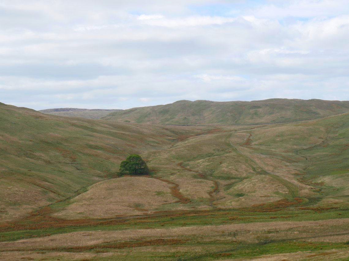
Just before I reach Harrop Pike I get first sight of the place I'm going to camp and below it is the little copse of trees which I want to go and have a look at. For a few years I've wondered why there should be a small isolated patch of trees in the middle of nowhere. Are they all that's left of a larger plantation? Were they the start of an abandoned extensive forestry scheme? I don't know but I'm going to have a look.
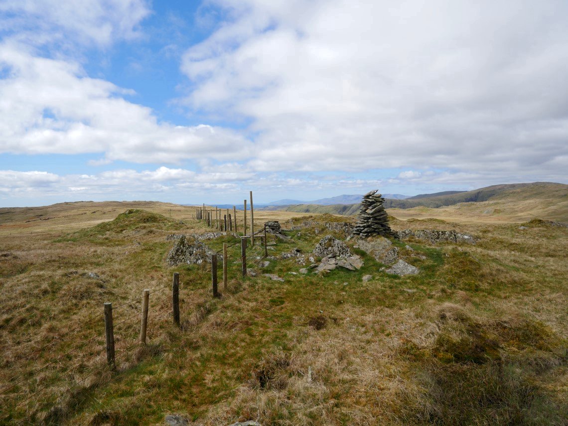
The cairn on Harrop Pike. I didn't really need to go to Harrop but I was trying to find some rocks to hide behind so I could have a break from the very cold wind.
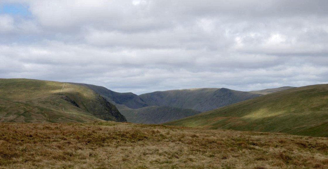
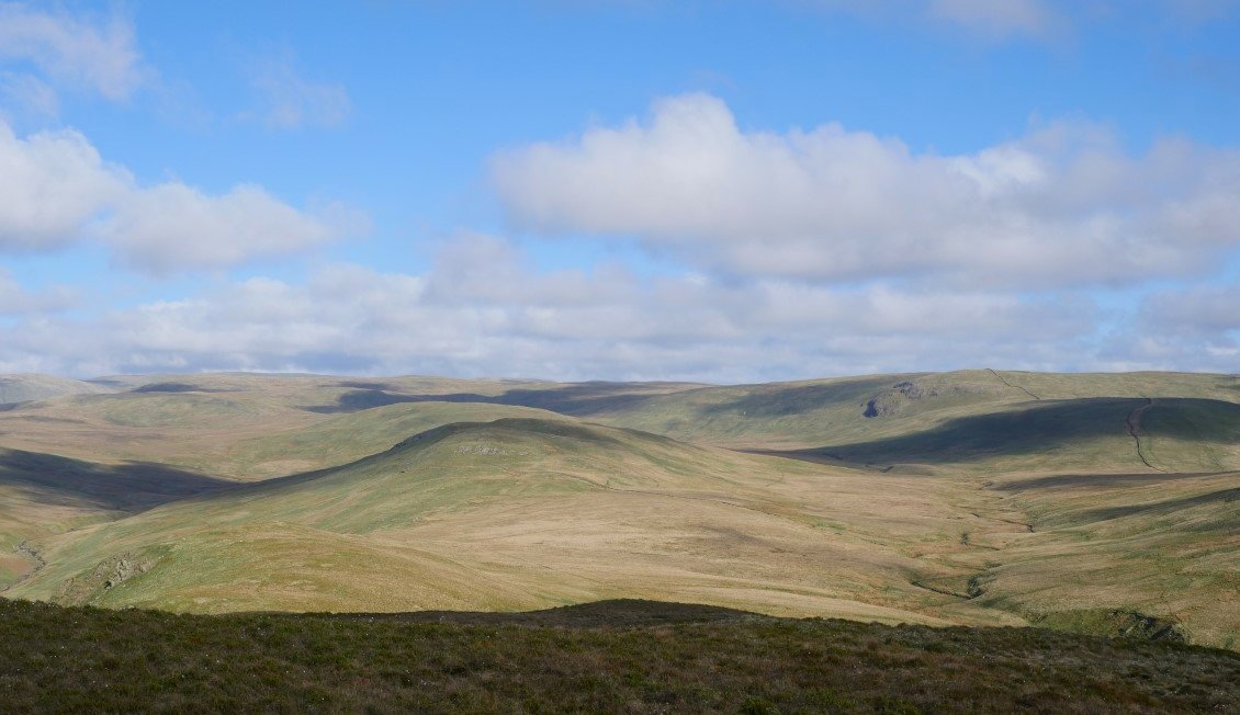
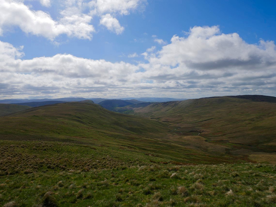
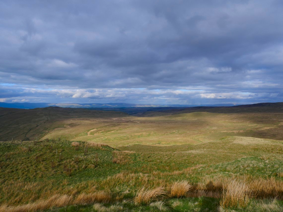
Unfortunately the wind was swirling around from seemingly every direction at once so I pressed on following the fence across the bogs of Greycrag Tarn until I came to the spot where I needed to climb over the fence and start descent to Brunt Tongue. This is looking to High Street with the Rough Crag ridge below and Kidsty Pike and High Raise to the right. They are nicely framed by the grassy slopes of Branstree on the right and Harter Fell to the left.
Wet Sleddale reservoir comes into view as I near Brunt Tongue.
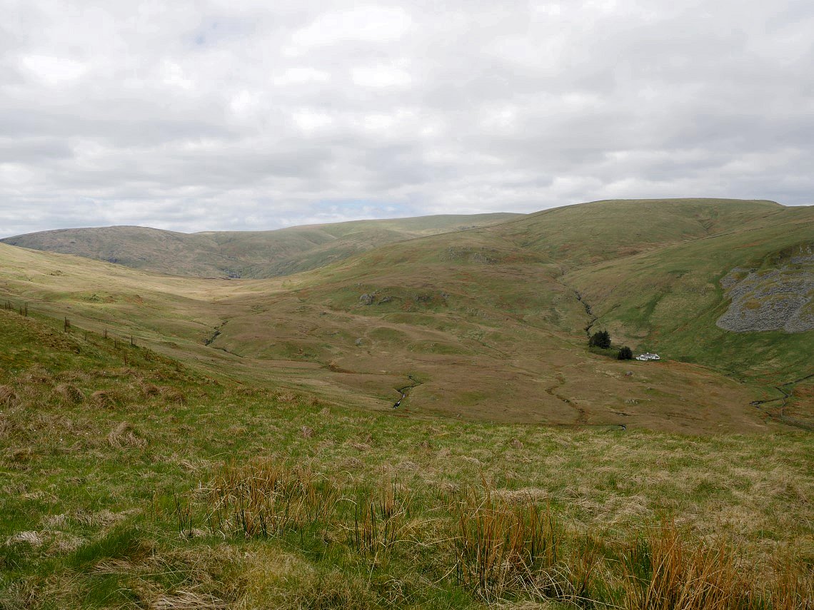
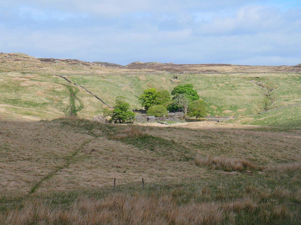
Mosedale and its cottage from Brunt Tongue.
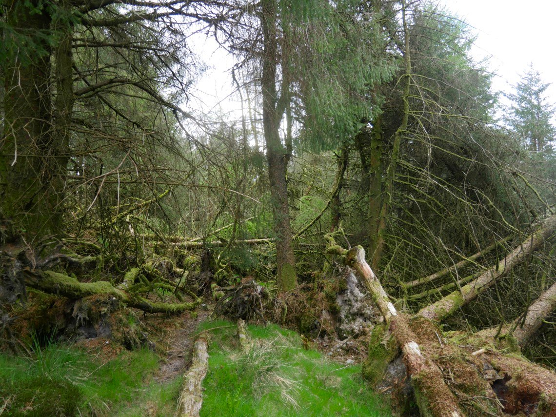
I needed some water and had seen that there was a stream on the other side of the copse so I dropped down the hill to it. I think I found where deer come at night because there were hundreds of deer hoofprints and a well worn track heading deep into the trees. It looked very spooky and I definitely wouldn't like to come here after dark and just to add to the drama a buzzard which was in a tree only a few feet above my head took flight.
It might be a bit spooky but what a great place. The copse is not very big and It only took me a few minutes following a muddy deer track to get to the other side
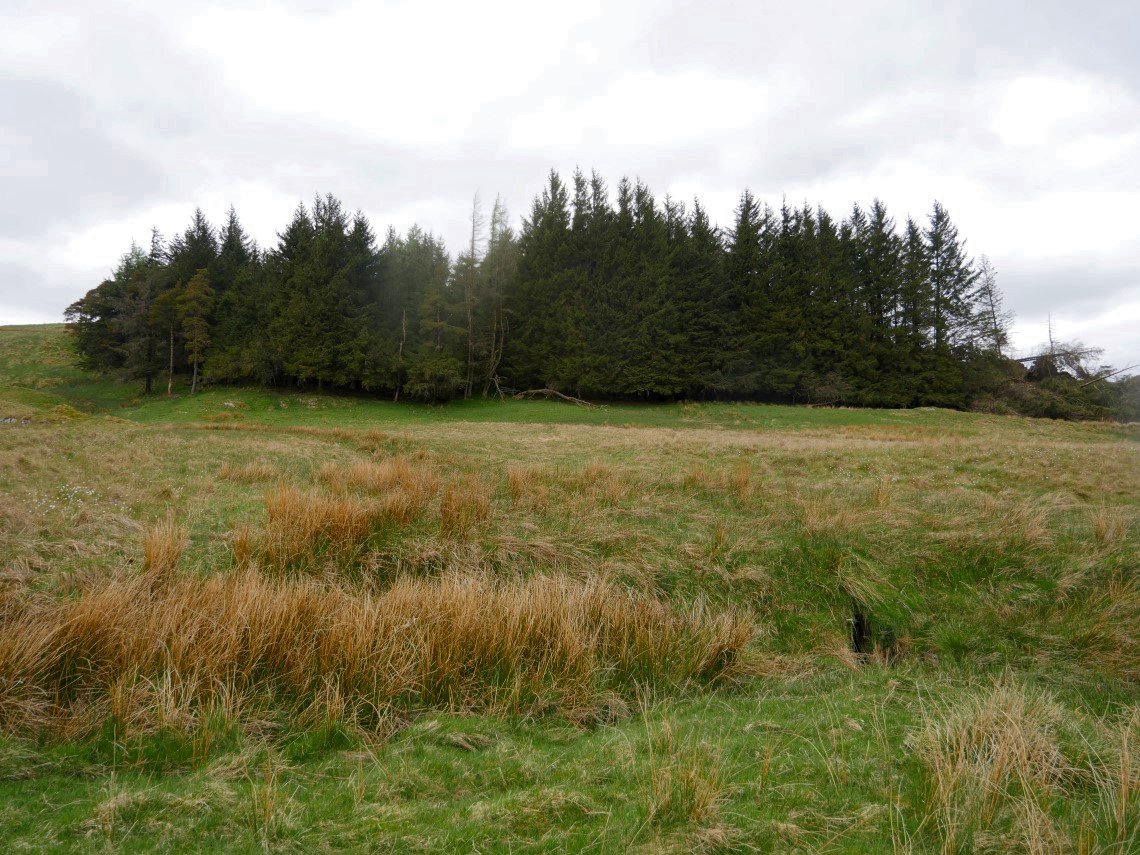
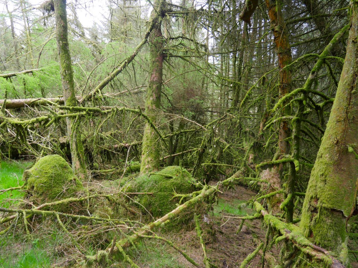
The copse from the stream where I got my water. I walked back to the top of Brunt Tongue and pitched my tent which I used as a handy windbreak so I could sit and pass the afternoon reading and having a brew or two.
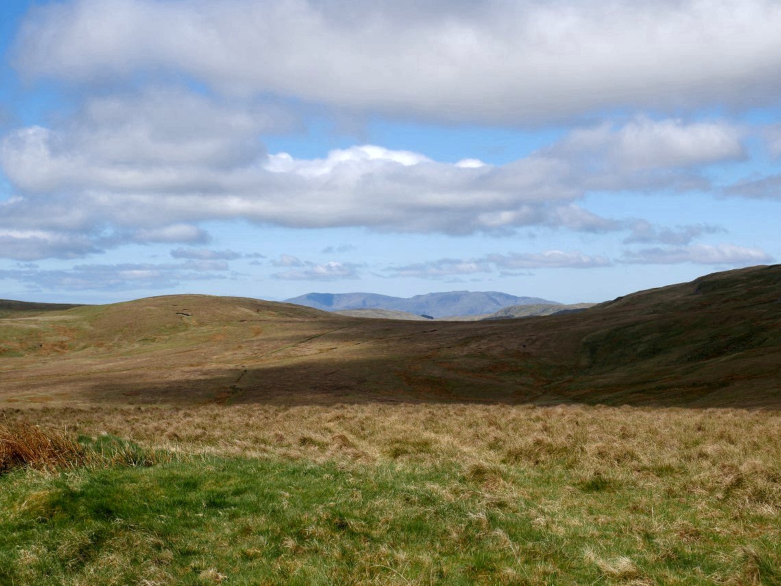
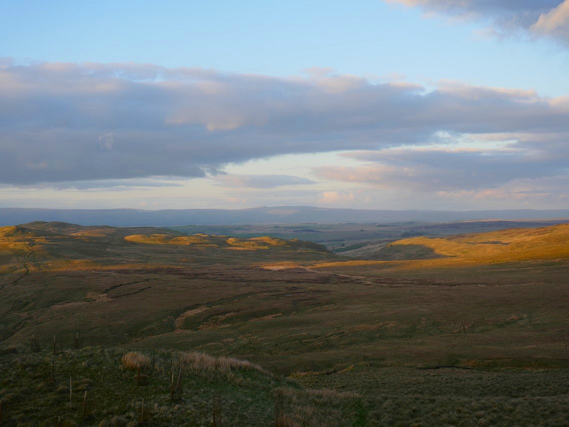
As the afternoon wore on the light became quite nice, this is looking over the low hills around Wet Sleddale to Cross Fell and the Pennines.
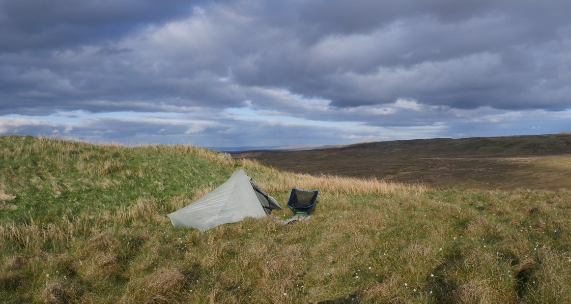
My pitch.

Some nice light over Swindale.
And over Branstree
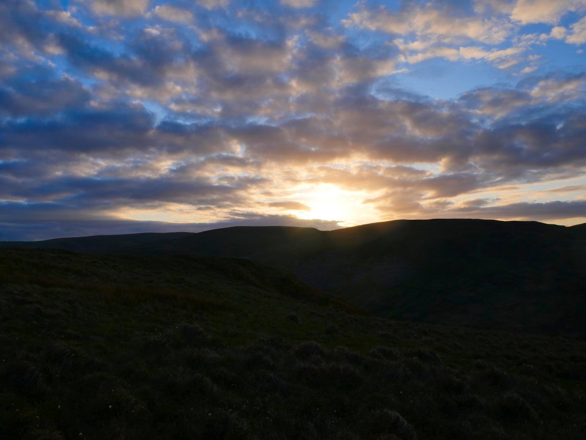
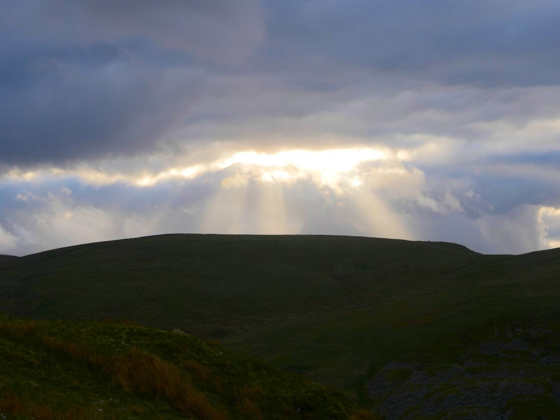
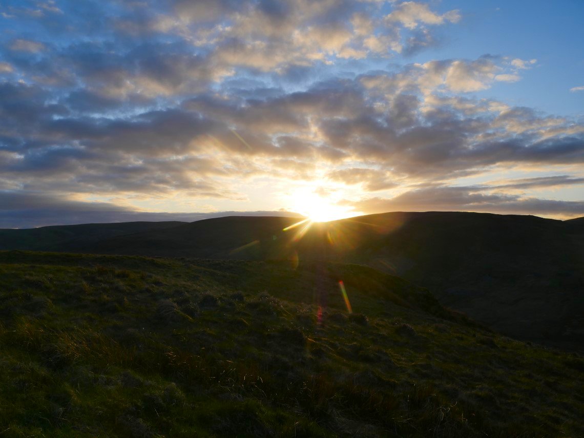
Not too bad a sunset over the top of the Gatescarth Pass.
Which lit up the fells to the east beautifully.
And that's it for tonight.

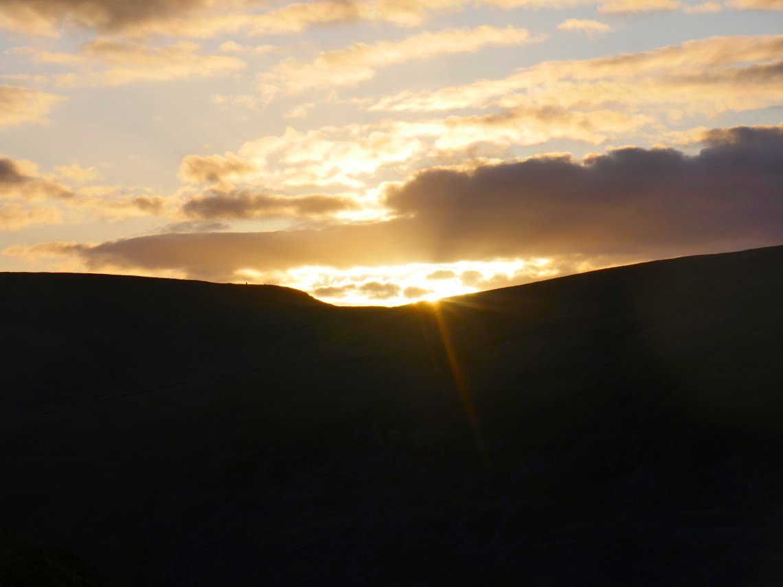
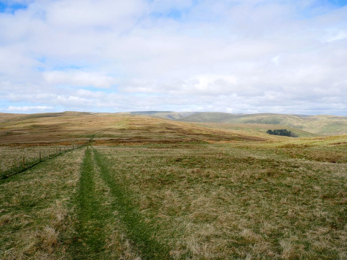
I was up early hoping for a nice sunrise but the cloud was down quite low so I went back to bed and when I woke later the day had improved. The night had been very chilly infact I think that it was the coldest night this year and I camped in January. I packed up and with a final look down to Swindale and Nabs Moor I made my way in a contouring path around the head of the valley and up to join the fence line which would lead me back to my car.
Looking back to the copse and Brunt Tongue from my contouring.
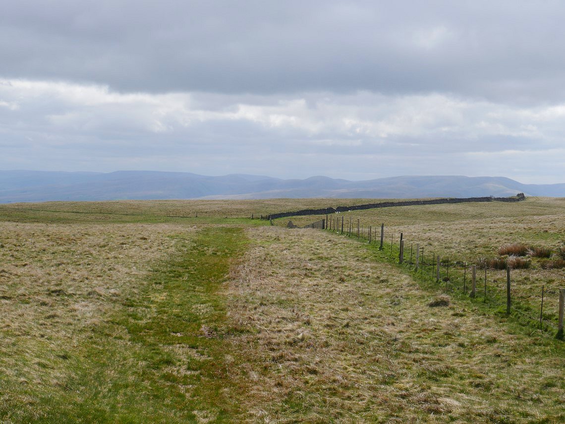
And after not very long I reach the fence.
Looking back to Harrop Pike...
And looking onward to Great Yarlside. I had a change of plan here rather than follow the fence over Little Yarlside and through Wasdale Mouth I followed another fence in the direction of Wasdale Pike.
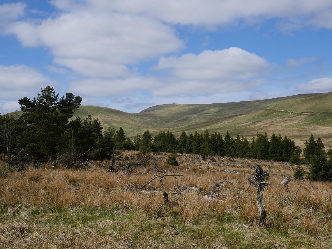
I stuck to the fence which bypasses Wasdale Pike, I intended following the fence all the way to Wasdale Head ( not that one ) but came upon the tracks made by the diggers which I'd seen when I was walking around Wet Sleddale so I followed them down around Hazel Bank to the plantation seen below from where I had an uphill finish back to my car.
Wasdale Mouth from the track.
The ruined farm at Wasdale Head.
Great Yarlside in the distance. On the hillside to the right is the digger track that I used in descent.
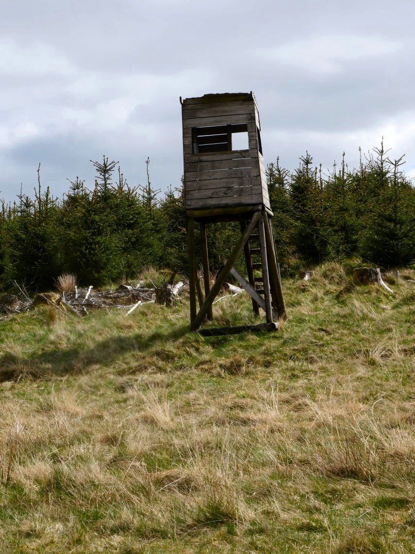
Unless this is an old guard tower from a POW camp I hadn't heard of then I assume it's a fire tower from when the plantation was larger.
Previous walk -- Dunmail Raise and a night on Fall Crag - Next walk - Around Potter Fell