WWW.KARLSWALKS.CO.UK
PICTURES AND TRIP REPORTS FROM MY WALKS IN THE ENGLISH LAKE DISTRICT
|
E-mail - karl@karlswalks.co.uk |
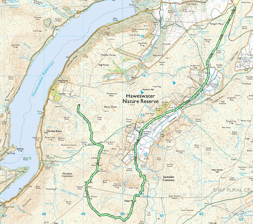
Work and other real life factors meant I was in danger of missing out on this fantastic spell of weather we've had over the last week or so but luckily I had finished work at lunchtime on Friday so I headed up to Swindale for a quick overnighter where I hoped it might not be as busy with the half term crowds.
Traffic was lighter than I expected and it was just after three when I parked up on the hardstanding area at the top of the hill above Swindale.
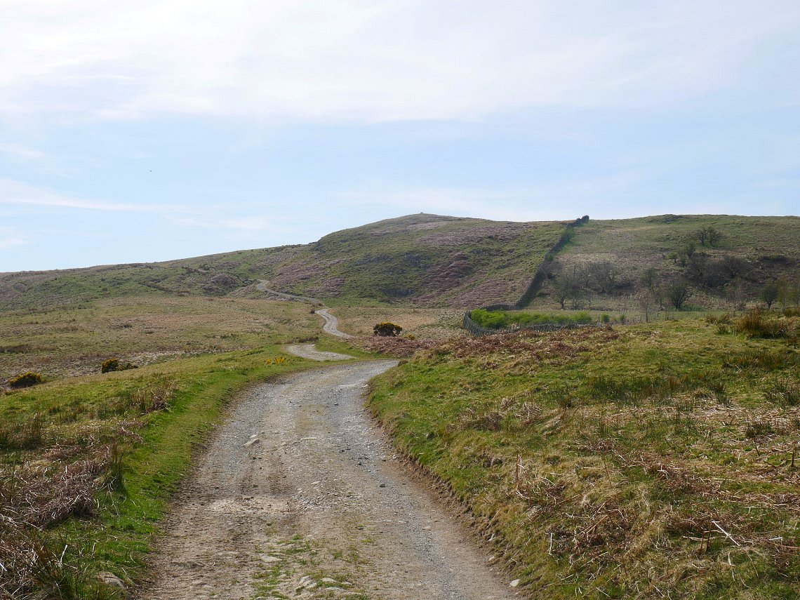
Two minutes from the car parking spot is a track which leads virtually all the way to the top of Scalebarrow Knott.
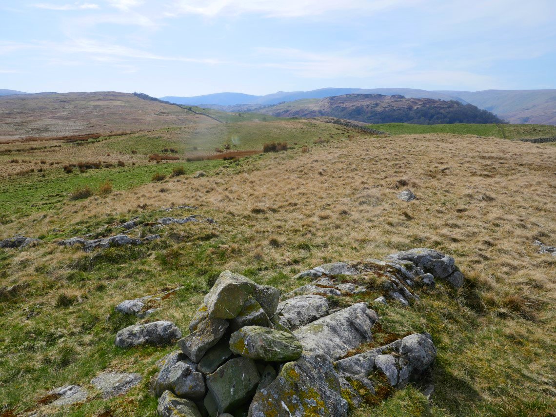
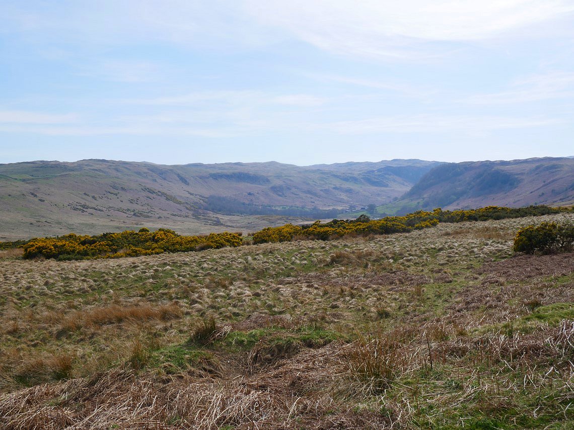
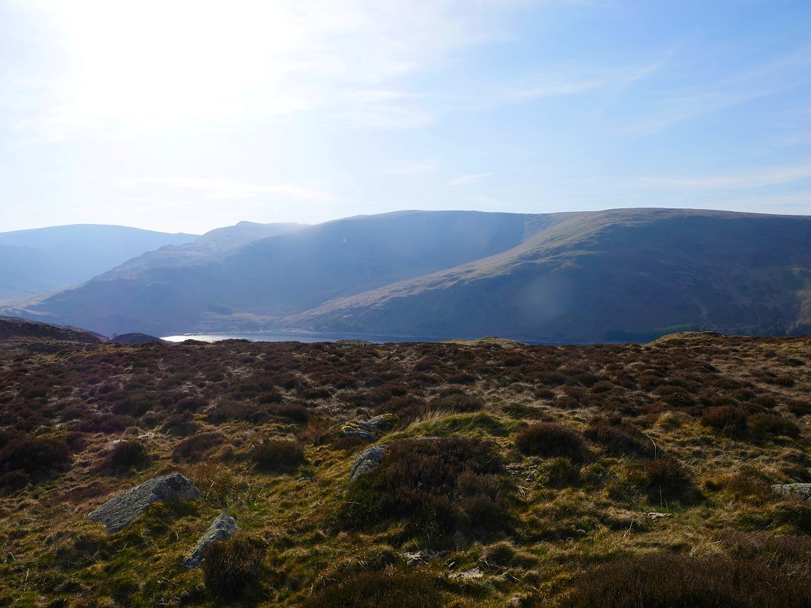
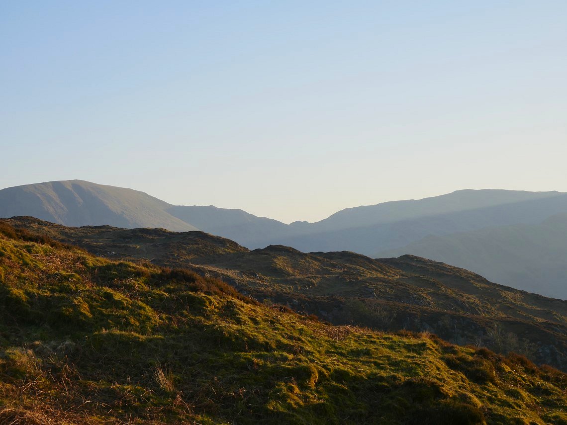
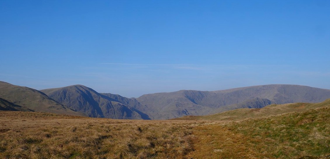
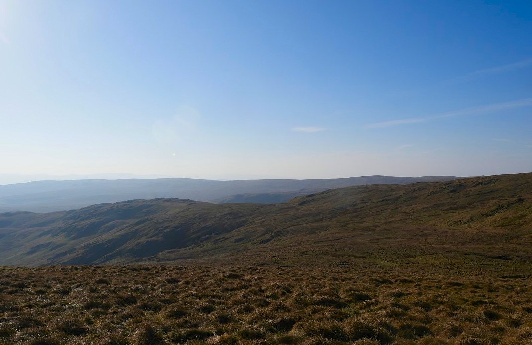
From Scalebarrow Knott I can see my onward route to the trees on the near horizon. The far horizon is formed by High Street, the distinctive prow of Kidsty Pike and High Raise. The brown fells to the right are the Naddle fells above Haweswater.
On my way I make the short detour to climb the Harper Hills
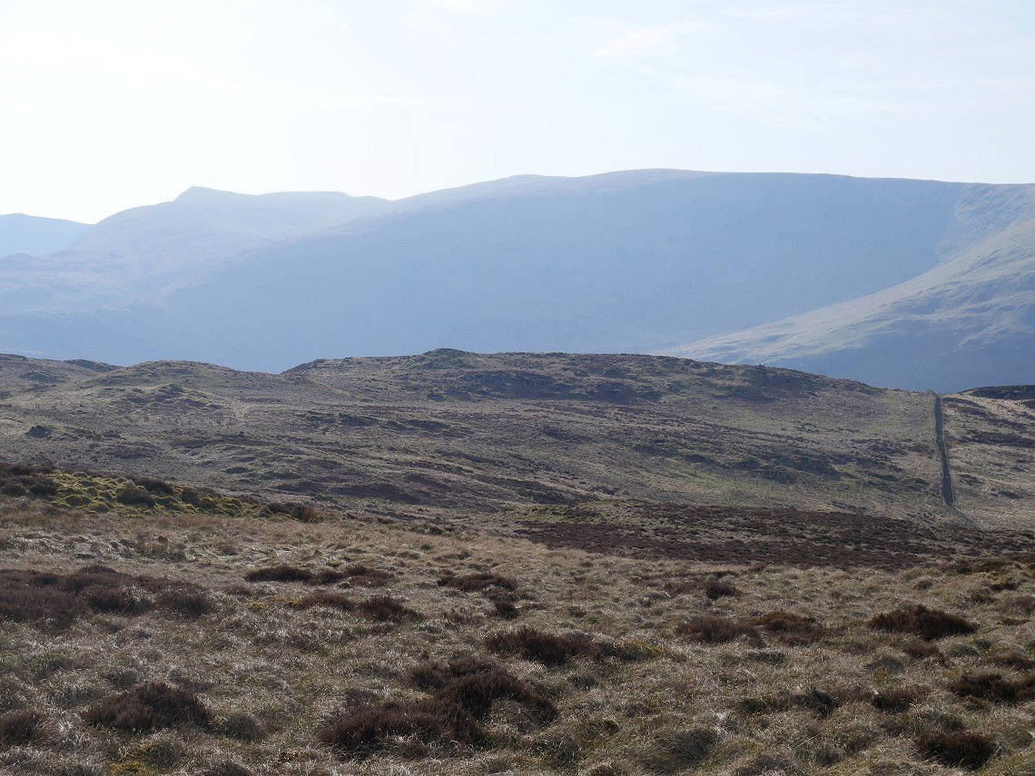
Looking back the way I'd come to a hazy north Pennines. I climbed away from the path now as it descends. I'm now on the lower slopes of Powley's Hill which were pathless and hard going through the tussocks and rough ground but at least it was dry.
I was making for the small top straight ahead. Kidsty Pike is very prominent now.
From the small top I could see Haweswater. I dropped down to a wall and followed it southwards for a short way till I decided it was time to find a pitch.
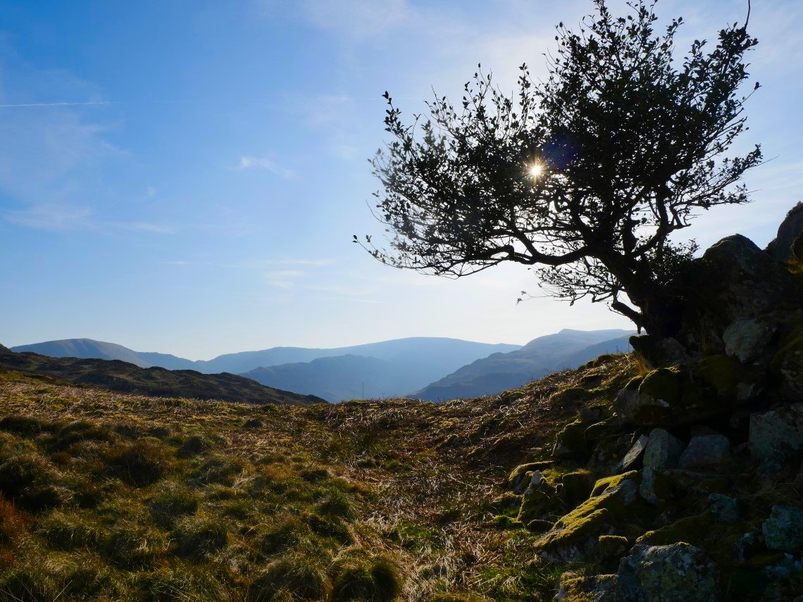
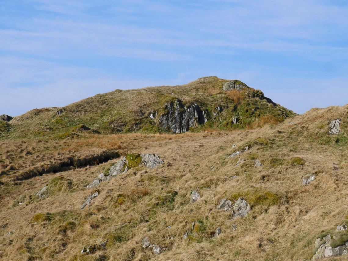
Lone Rowan growing out of the side of another small top which unfortunately didn't have a flat enough top to pitch on.
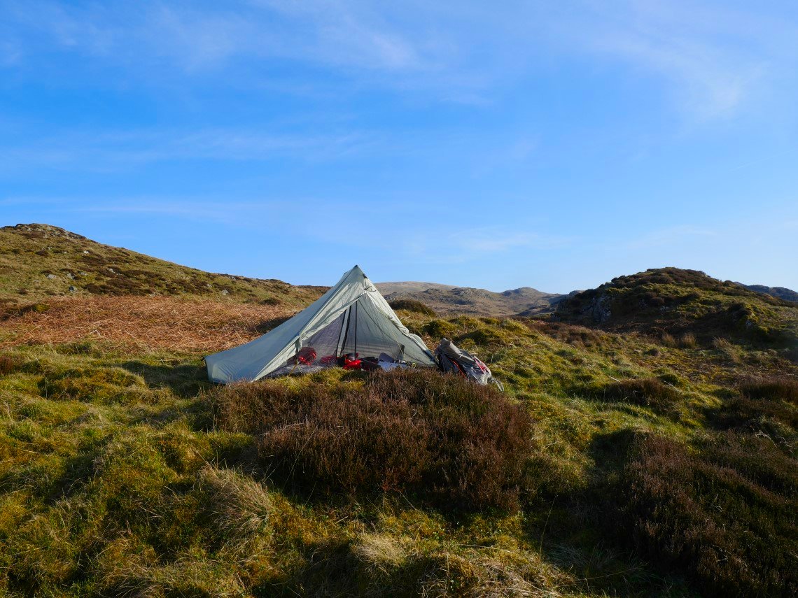
Not far away though was a flattish spot.
With a nice view of the hills above Haweswater.
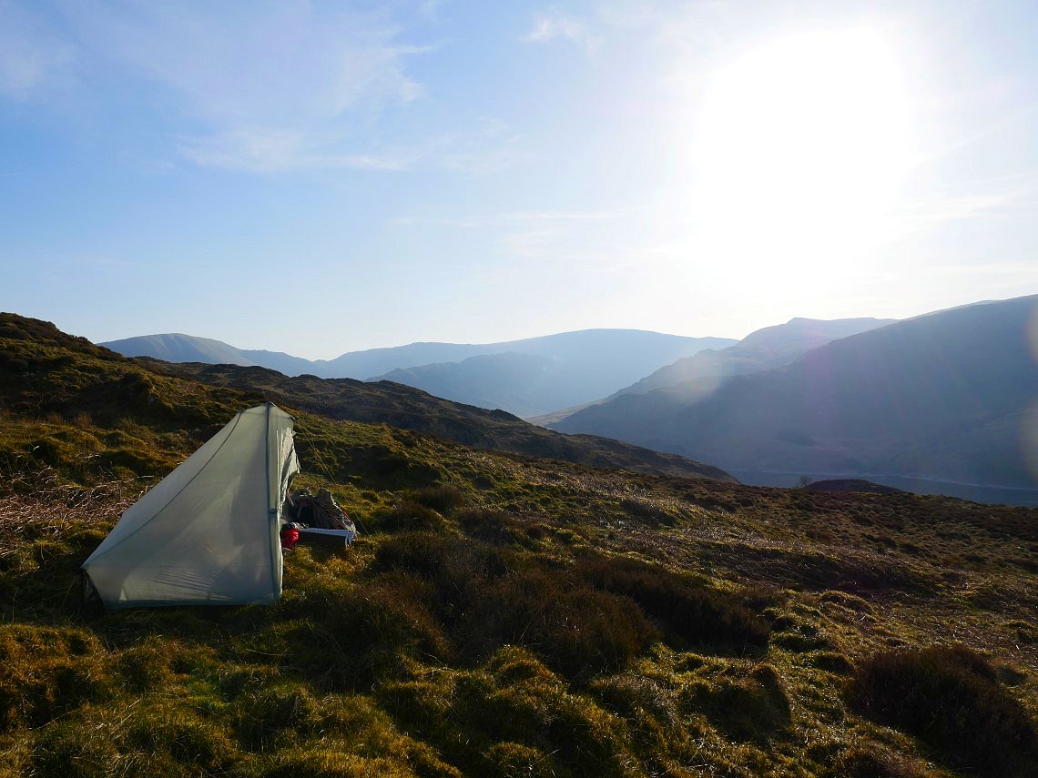
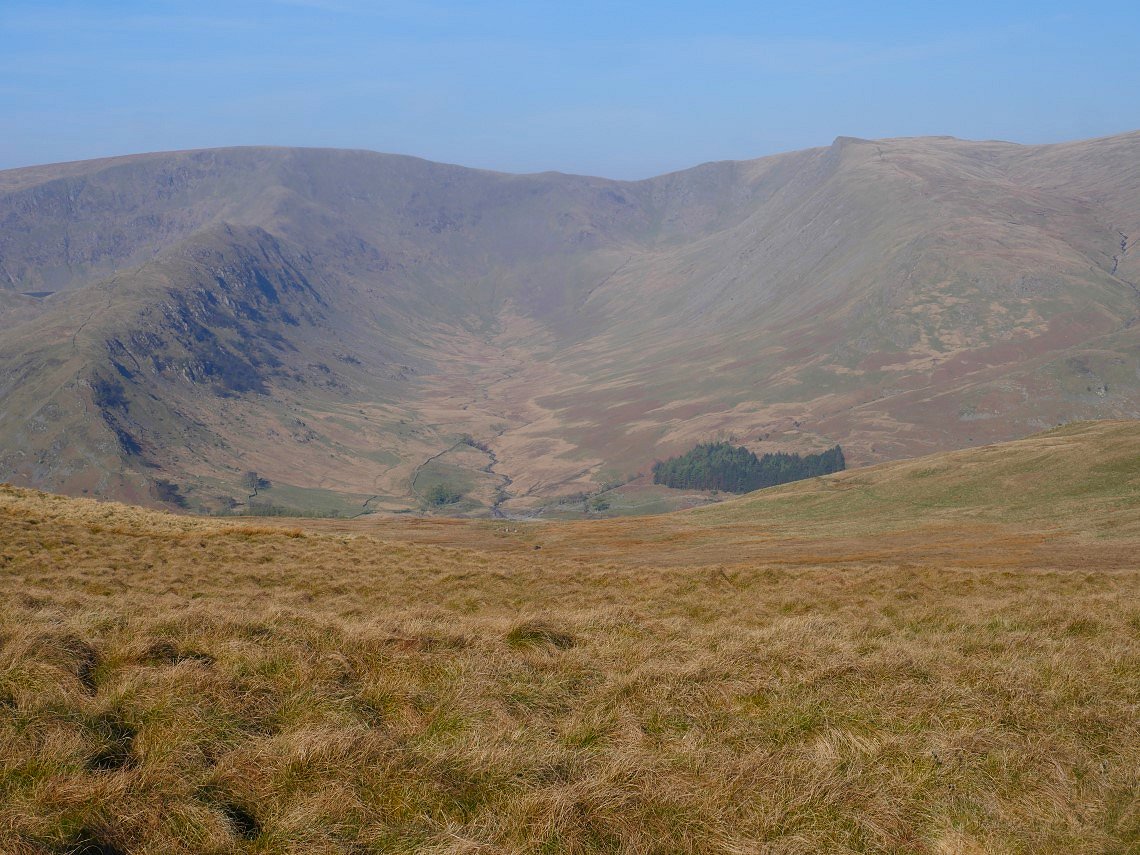
From just above my pitch I could see the Nan Bield Pass with Harter Fell to the left and Mardale Ill Bell to the right.
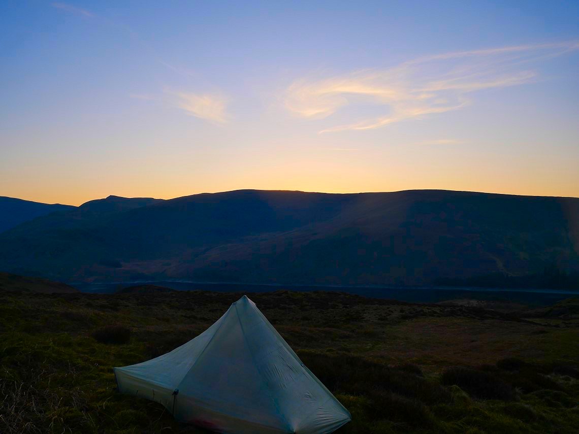
The last of the light.
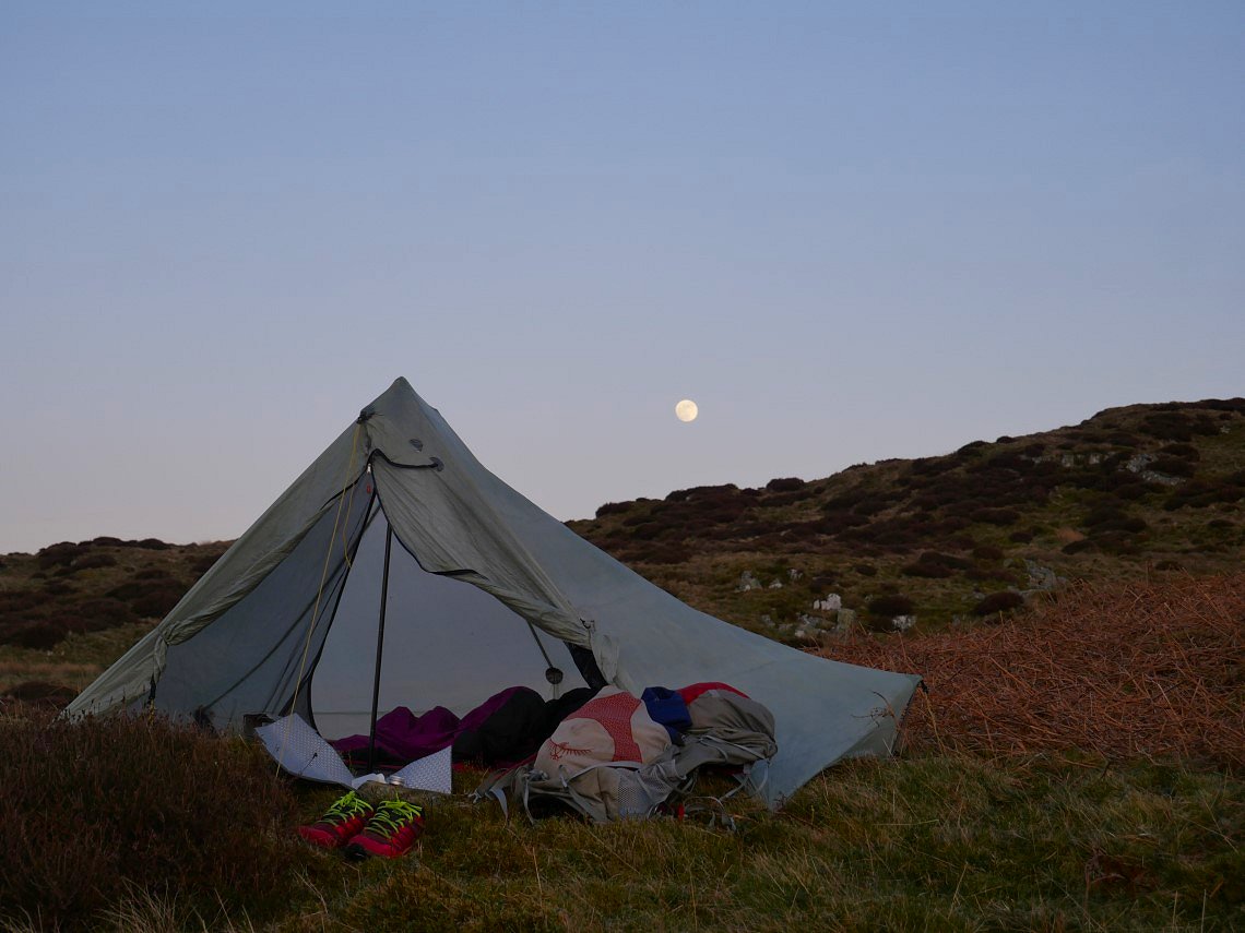
Although it never actually got that dark thanks to the full moon which was so bright all night.
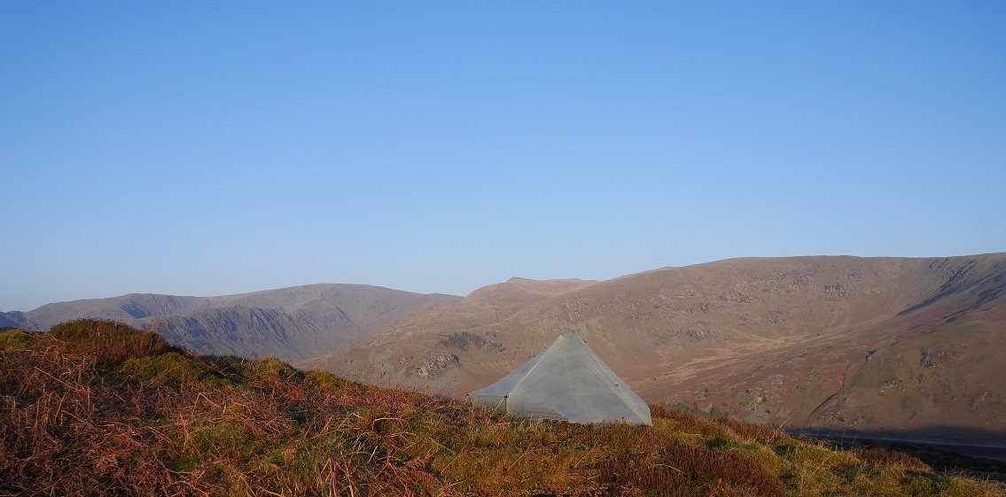
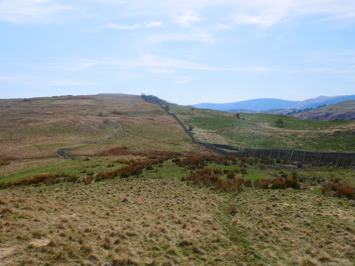
Another lovely day, although there was a bit more of a breeze blowing. I packed up and made my way over more rough ground till I reached the Old Corpse Road.
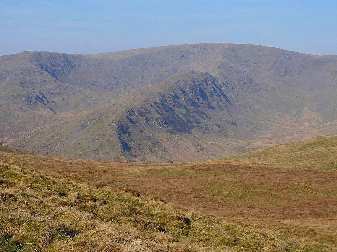
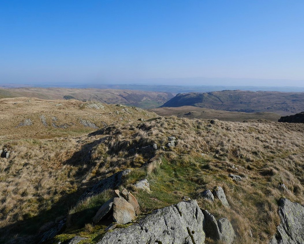
From the Old Corpse Road the full line of fells from Harter Fell on the left to High Raise on the right come into view.
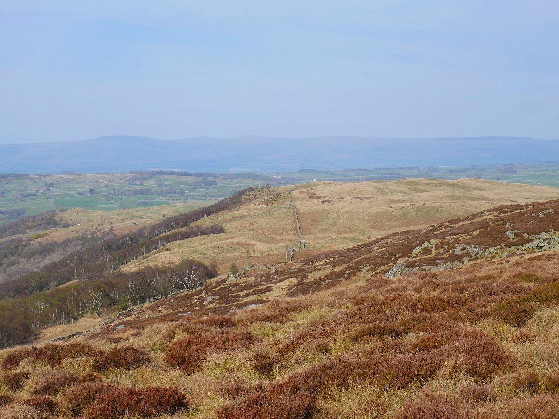
A wooden post on the Old Corpse Road marks the spot where you turn right onto the path up to Selside Pike. As you climb higher, Riggindale comes into view.
Zooming in onto the superb Rough Crag ridge which IMHO is the best way to climb High Street.
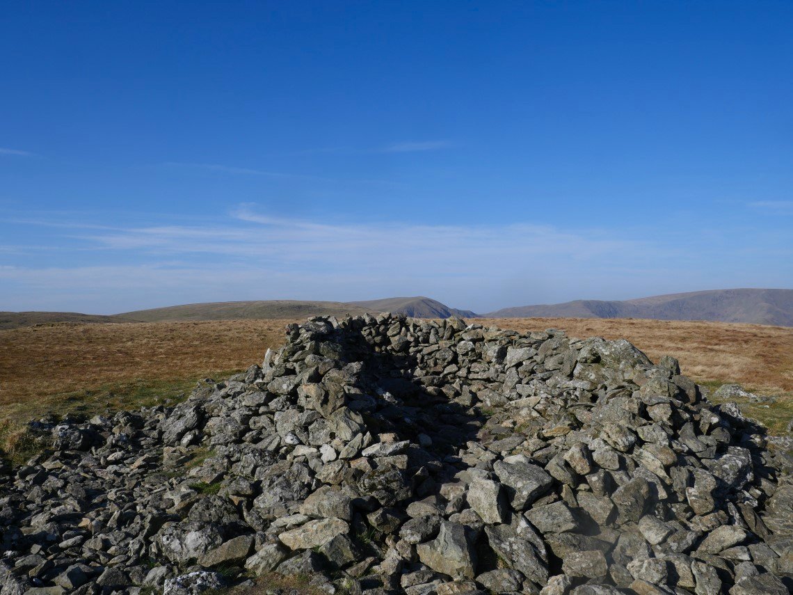
After a not too hard climb I'm on Selside Pike.
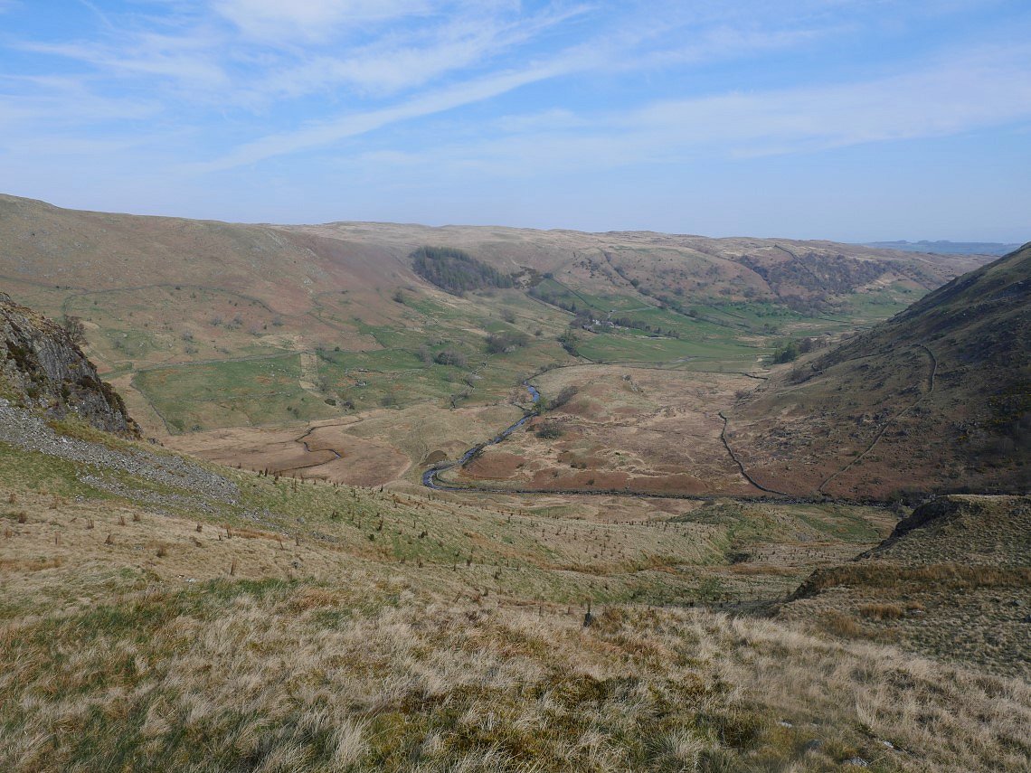
From Selside I go through the gate which gives access to Captain Whelter Bog. More pathless ground to cross but It's not actually that bad especially with it being dry for a week or two. I contoured around to reach Howes which is the top in the distance..
On to Howes looking down to Swindale.
I wanted to find the tarn just below Howes and on my way I passed the spot under the little cliff where April, Beefy and I had camped in 2020.
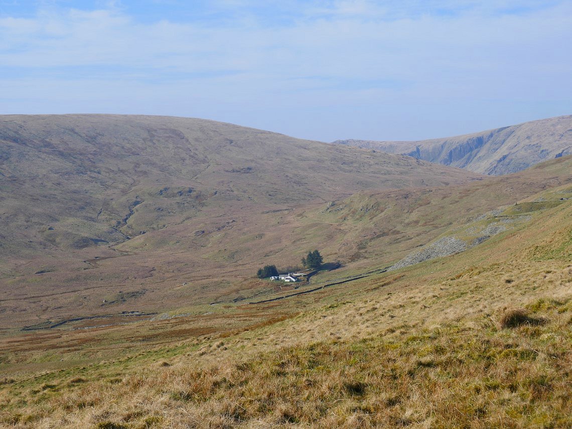
Mosedale Bothy in the valley below.
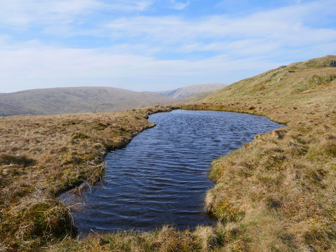
Wainwright's " unexpected tarn" ( the outlying fells Howes chapter ). It's named Howes tarn on some maps but not the O/S map. Just for the purposes of research I braved the water and can confirm that it's about three feet deep with a nice solid bed and despite being warmed by the sun for nearly a fortnight was flipping freezing.
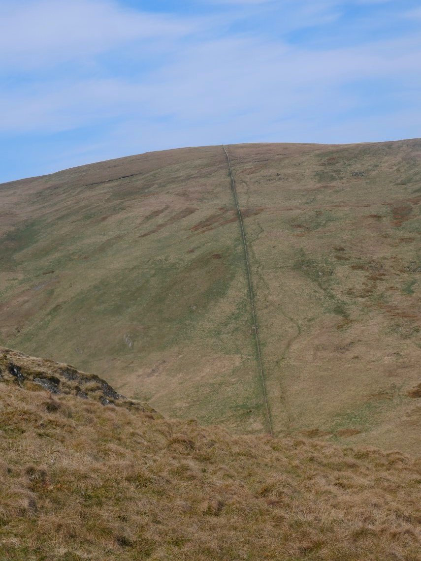
After drying off and warming up with a brew I set off down in the direction of Nabs Moor. I shook my head when I passed the ridiculously steep path up the convex slope to Selside Pike. Done once but never again.
Usually when I come this way I climb ( or descend ) by the path by the Forces cascades but today I followed the right of way down to the valley. This is another route I wont be doing again as compared with the interesting path with views of the superb waterfalls this was a knee aching slog down.
Looking across to the bottom of the Forces.
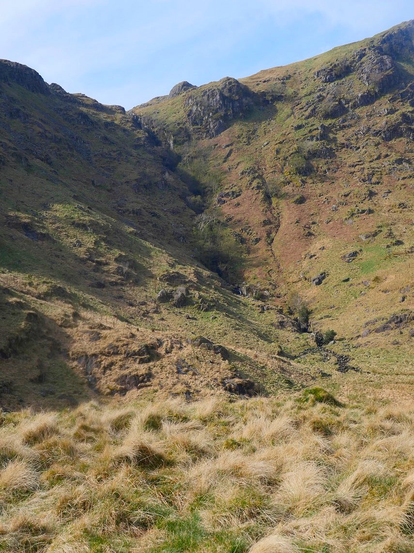
The quirkily named Hobgrumble Gill tumbles down the fellside.
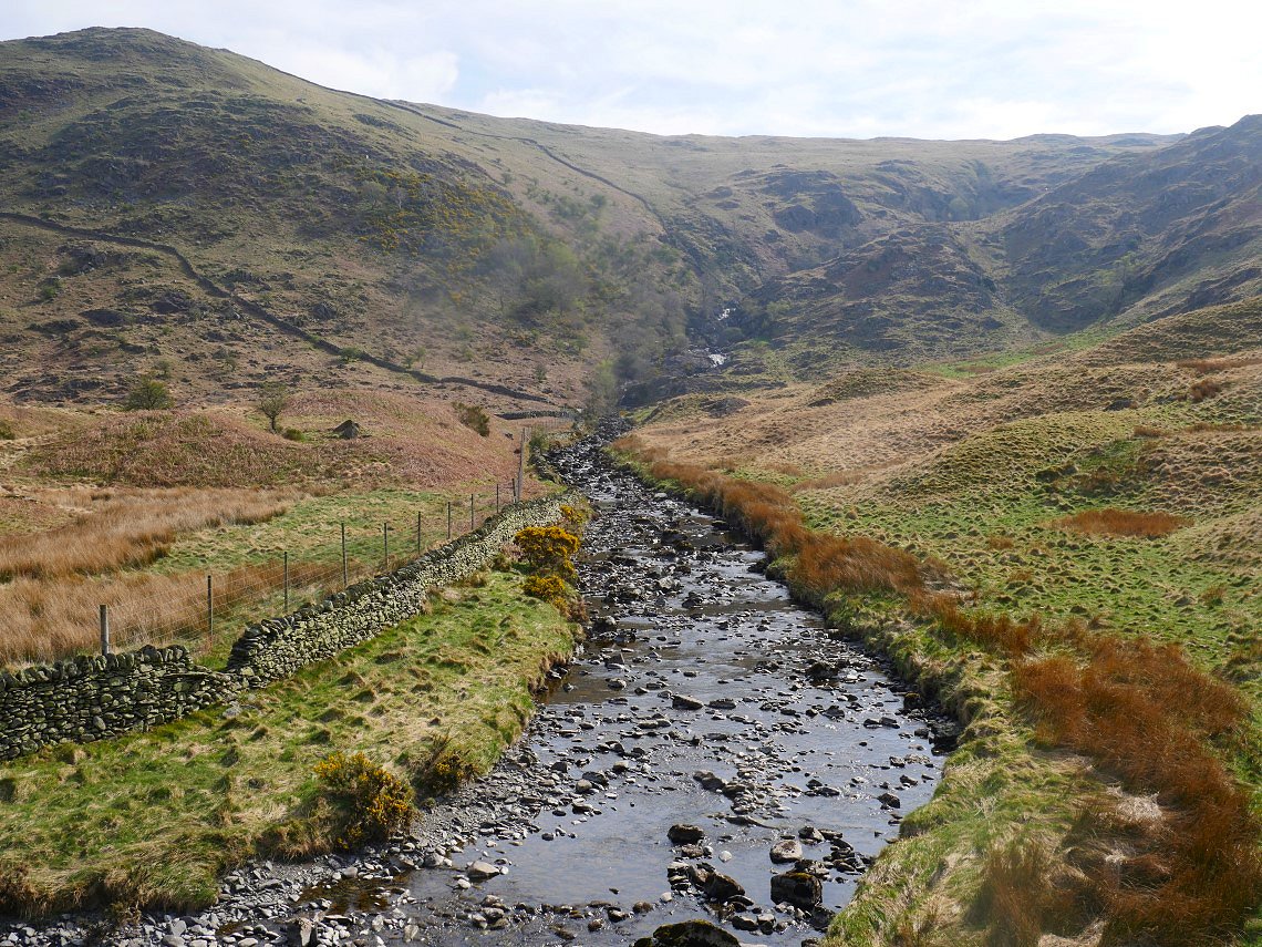
Another look over to the Forces from the valley floor.
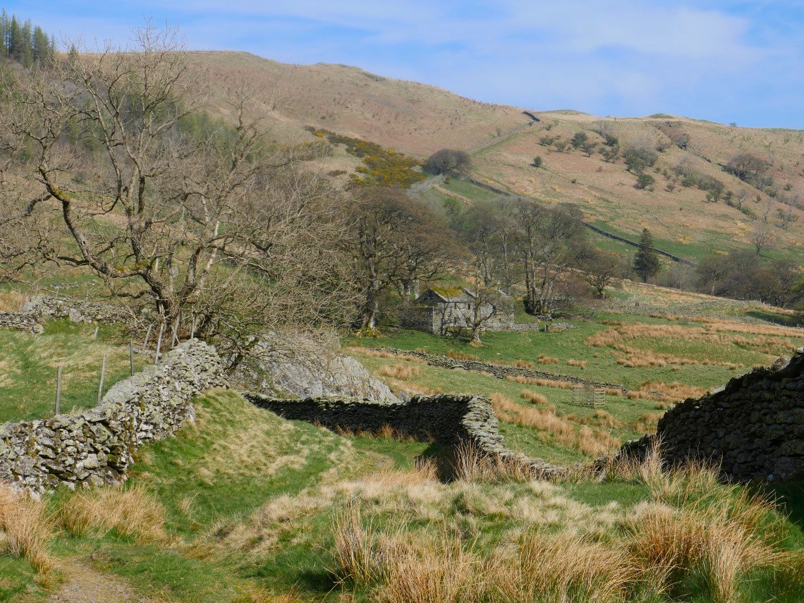
The path winds its way through some glacial drumlins and past the old Swindale Farm buildings.
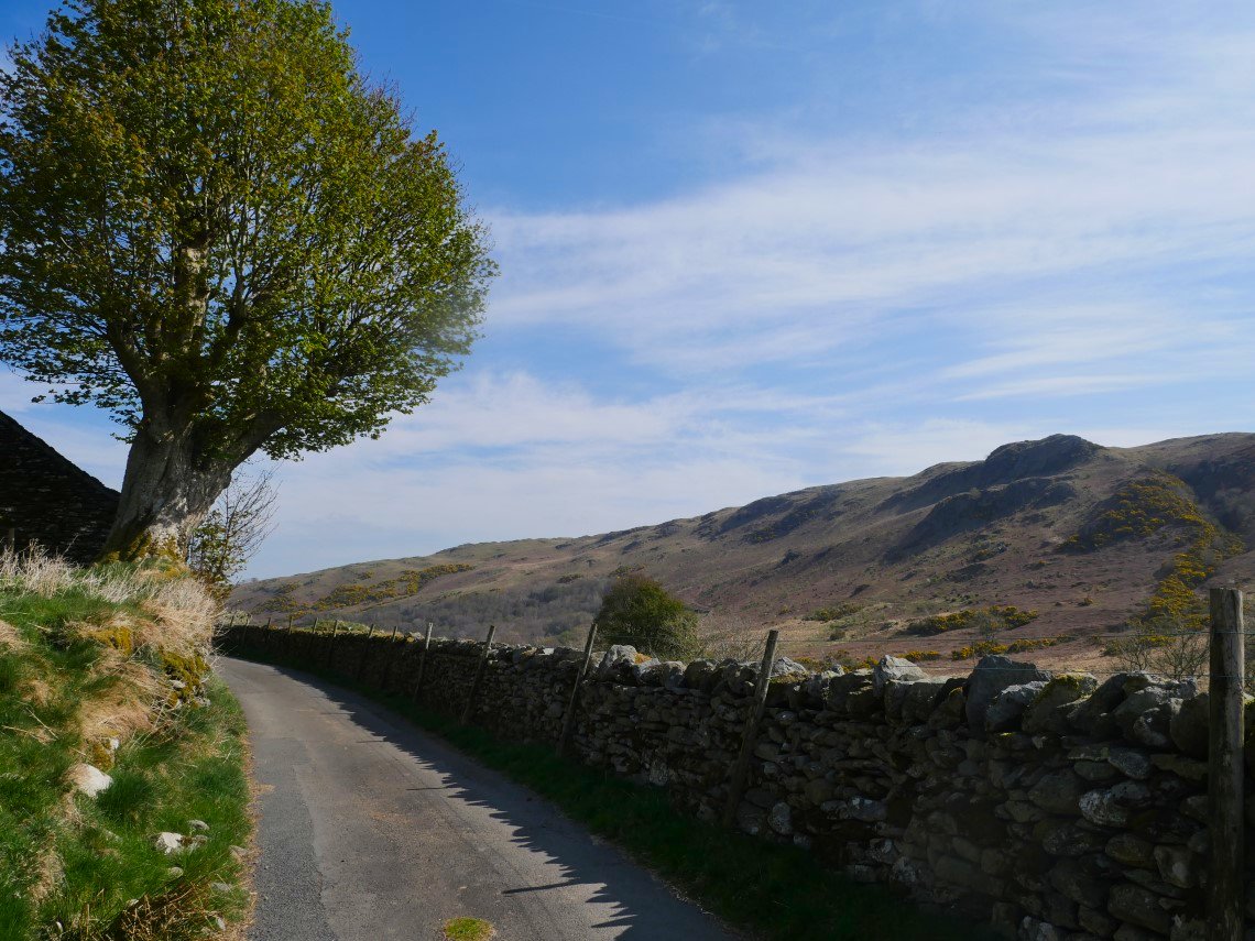
The path becomes a tramaced road as it climbs away from the valley.
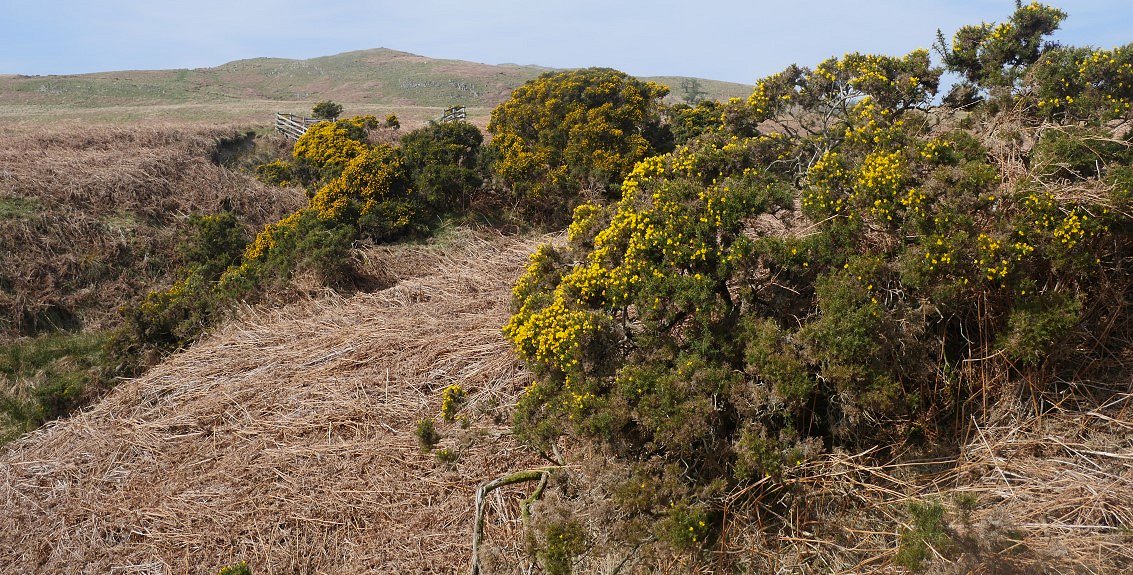
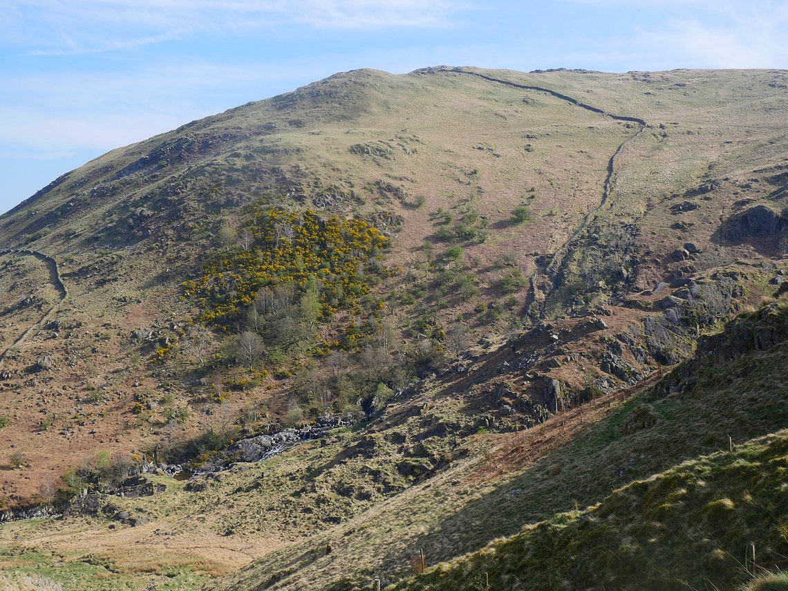
Just before I reach my car Scalebarrow Knott comes into sight above the colourful Gorse
And the crowds? Not one person seen on the fells over two days and just a couple of dog walkers and climbers passed on the walk up the road out of Swindale
Previous walk - Horwich to home - Next walk - Black Combe from Hallthwaites