WWW.KARLSWALKS.CO.UK
PICTURES AND TRIP REPORTS FROM MY WALKS IN THE ENGLISH LAKE DISTRICT
|
|
|
|||||
|
|
|
|
|
|
|
|
E-mail - karl@karlswalks.co.uk |
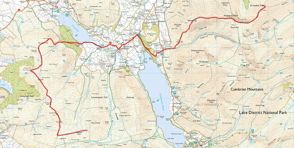
A decent forecast this weekend and as I had finished work on Friday lunchtime I caught the train and the bus which dropped me off at the Whinlatter visitors centre around 5pm on a muggy misty afternoon.
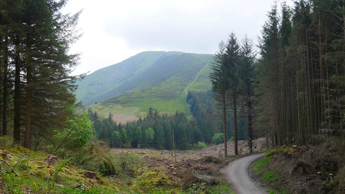
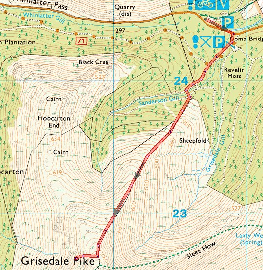
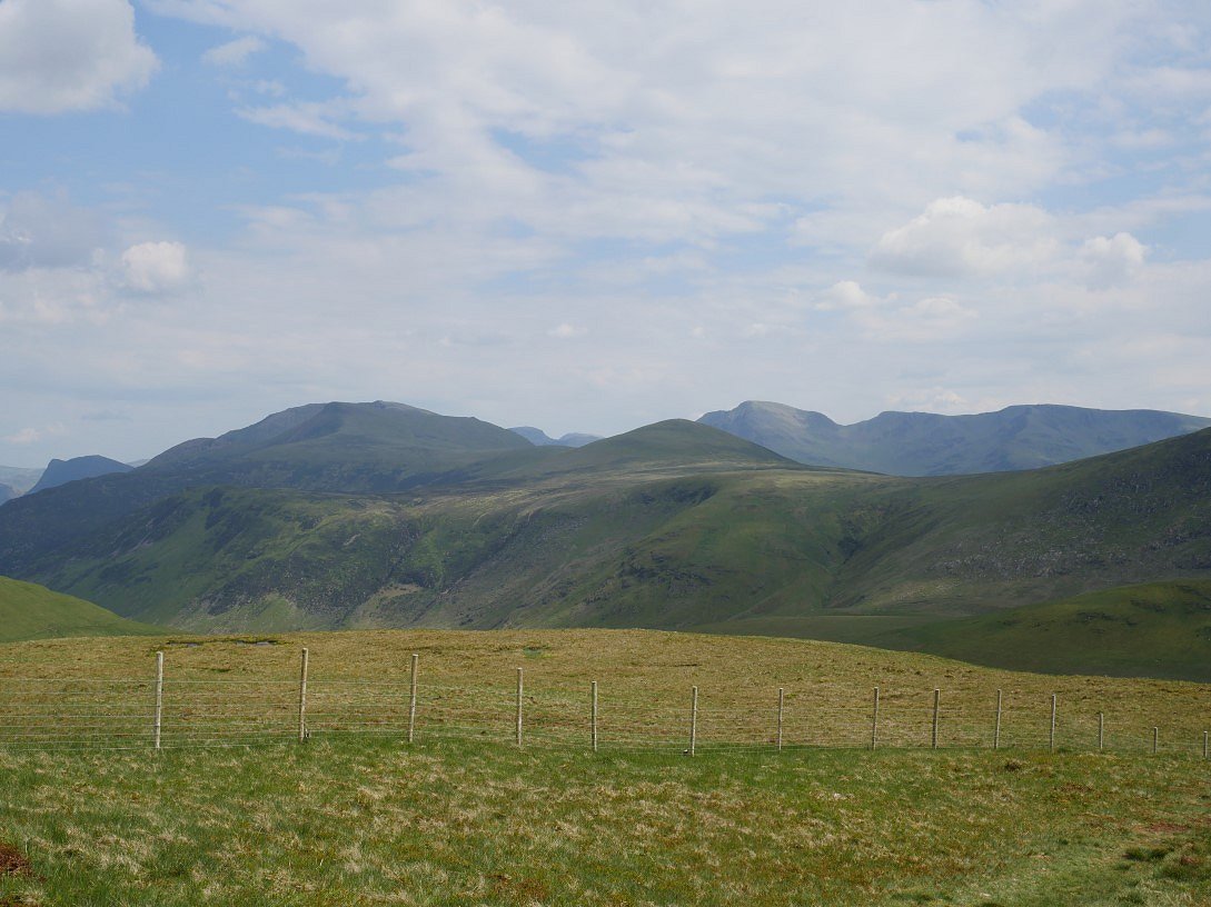
I walked down the road a little way to the Revelin Moss car park. My route up the north east ridge of Grisedale Pike is seen from the forest road.
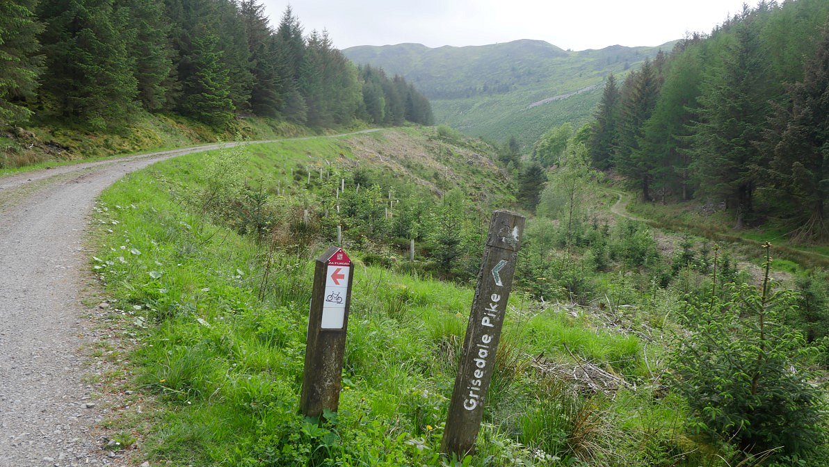
A handy sign indicates the turning on to a small path through the trees. The Hobcarton Ridge is ahead and I had considered climbing up that way but I've never climbed up by the north east ridge so that made my mind up.
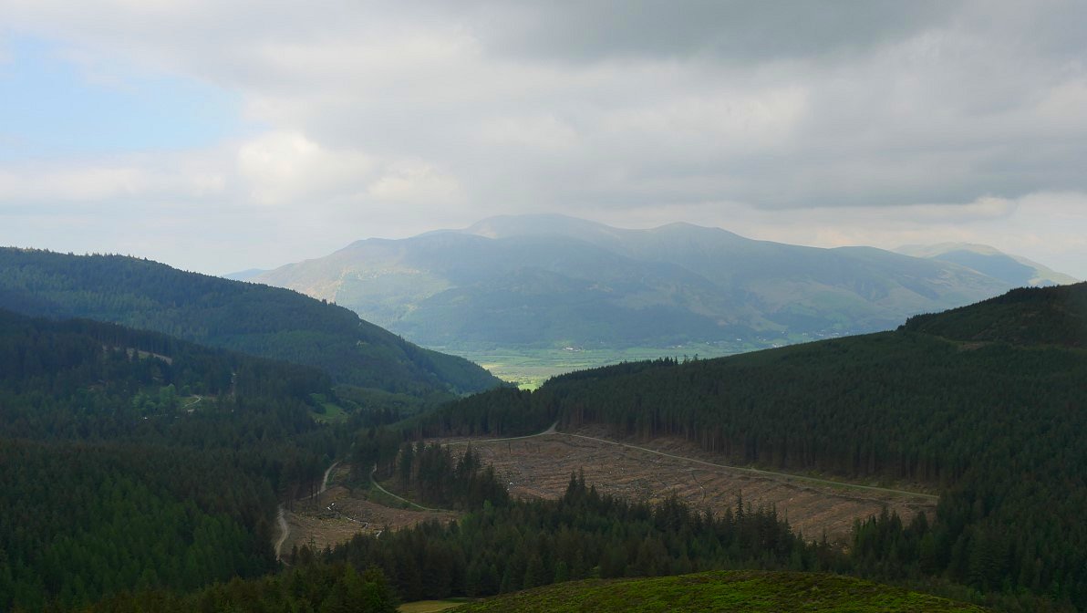
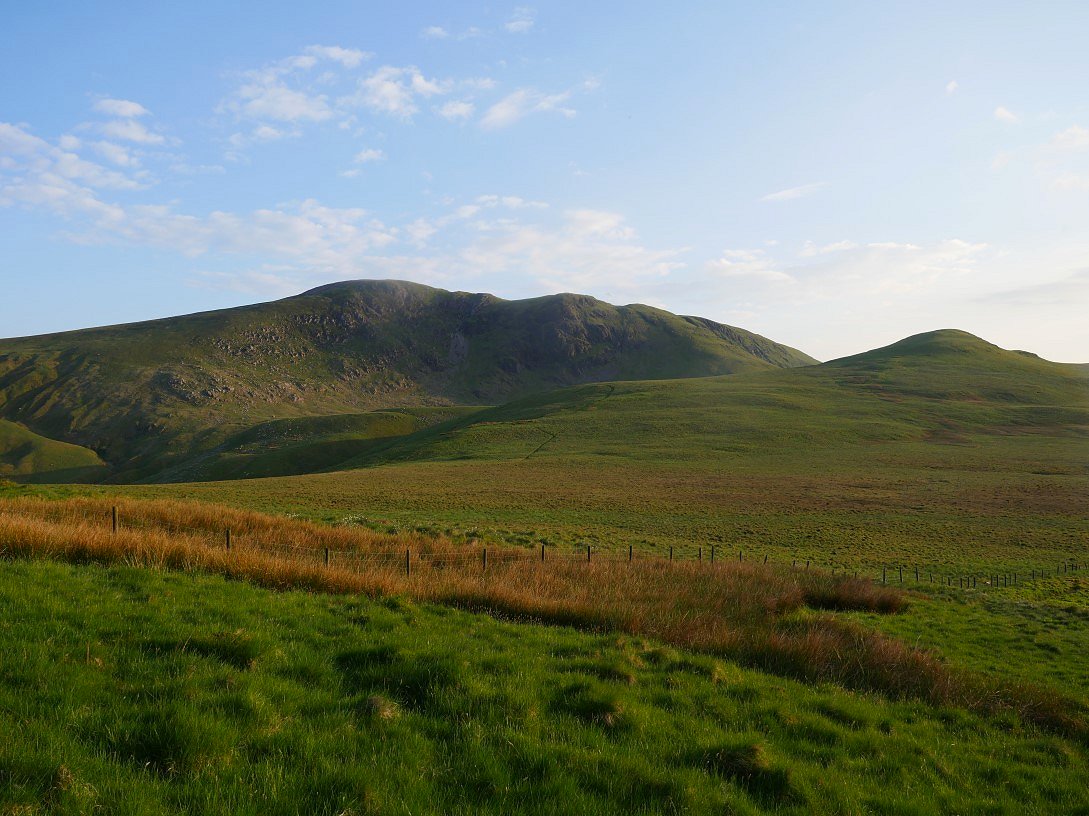
The first couple of hundred feet were very warm and I was soon glowing very nicely. Lovely view back to Skiddaw and co as you climb.
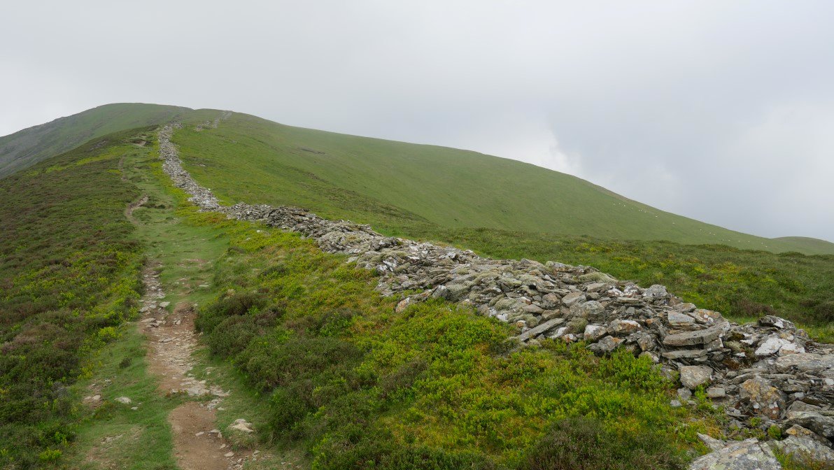
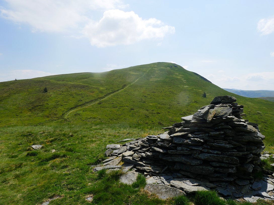
Around this point a very welcome breeze got up. As you can see there is no difficulty apart from steepness just follow the broken wall.
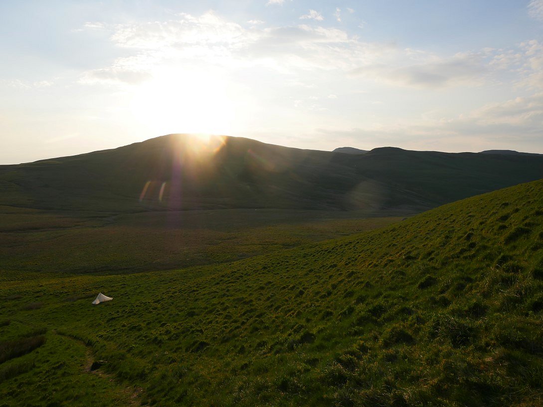
I didn't think there would be a place to pitch right at the summit of Grisedale Pike so around 50 or so meters below the top I started looking around for a flatish spot to camp. I found one just off the path but I realised that I wouldn't be able to see the sunset so I contoured around the fell to meet the Hobcarton ridge from where you get a view of Hopegill Head and Ladyside Pike and hopefully a sunset, although I wasn't very hopeful as you can see it was quite misty.
.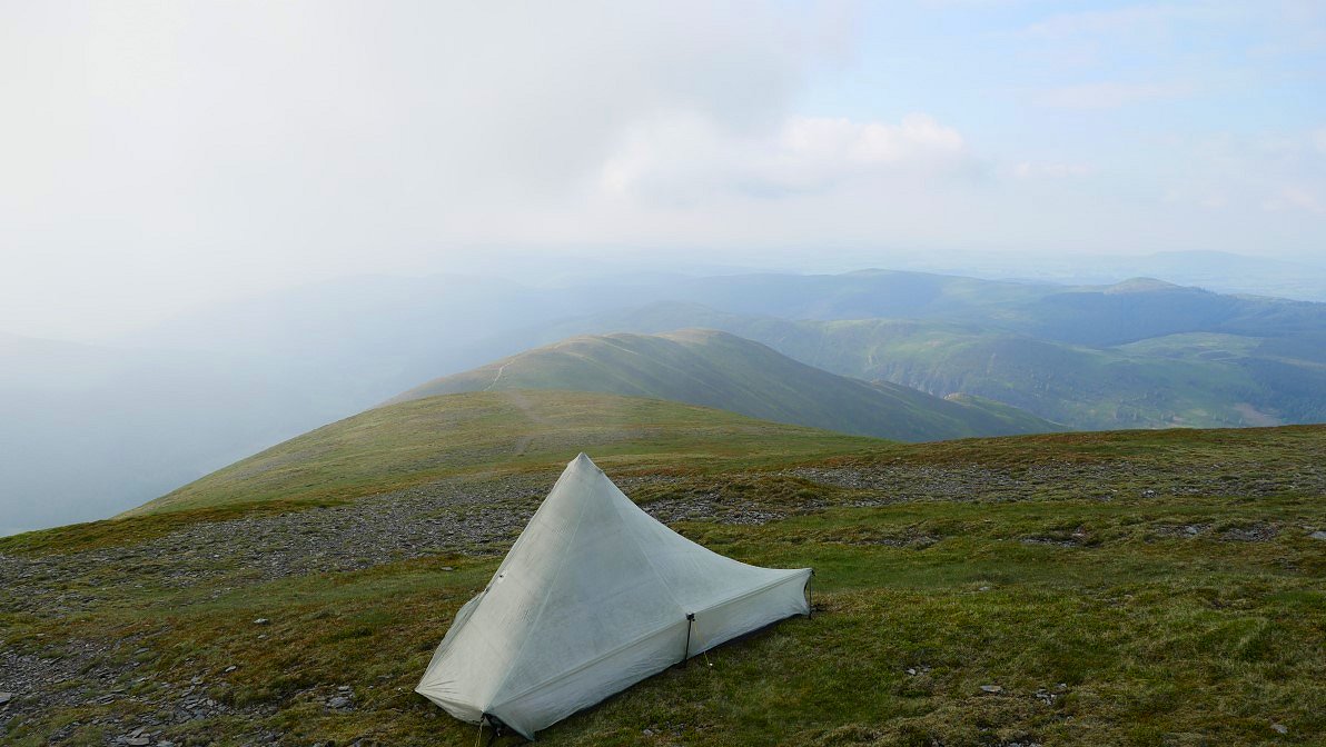
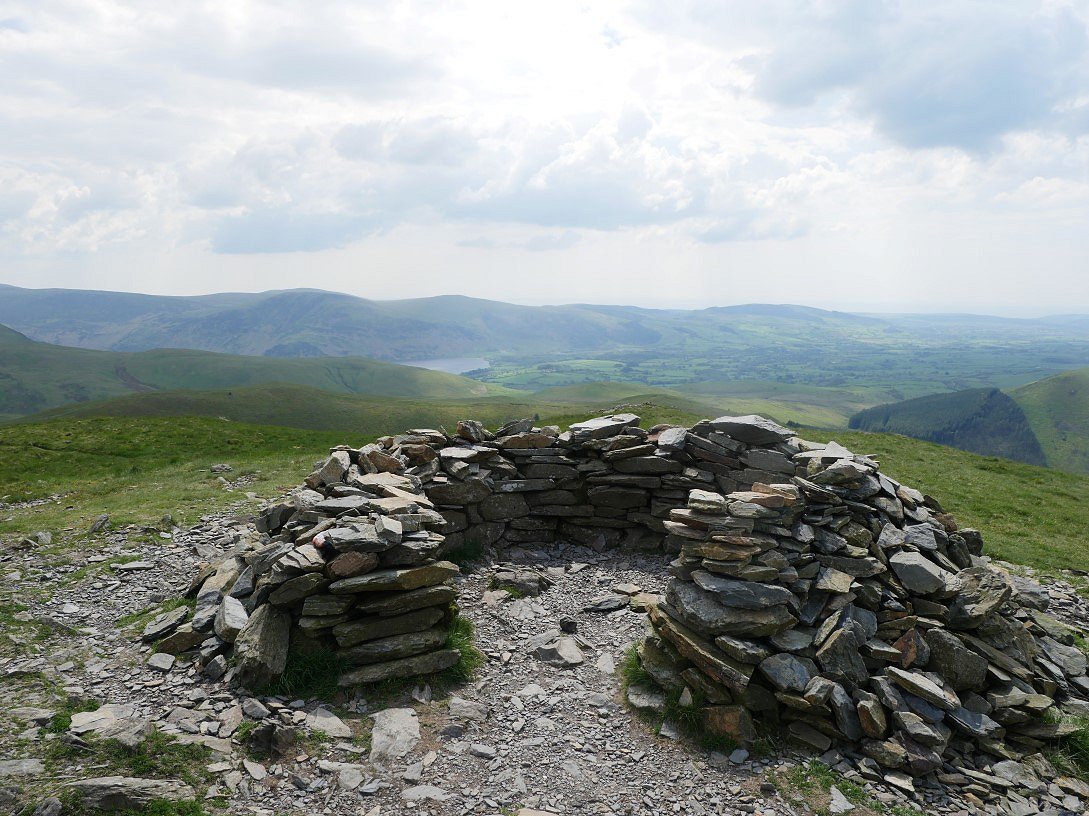
My pitch with the Hobcarton ridge below.
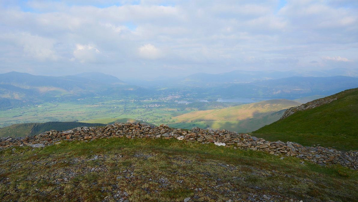
I had a walk back to the ridgeline for the view over Keswick and Derwentwater.
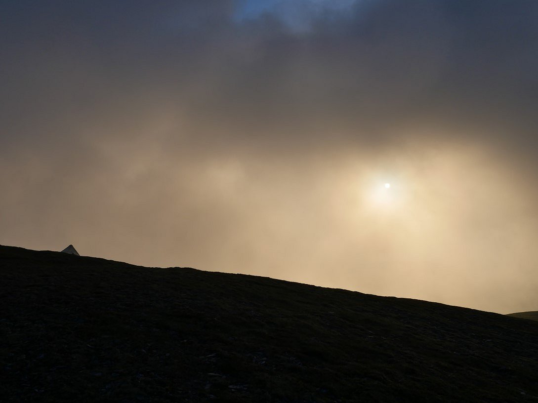
Throughout the evening the mist blew in and out and here became quite thick but the sun shining through made for a very weird light.
And later as the mist thinned I could see the sun shining on the sea.
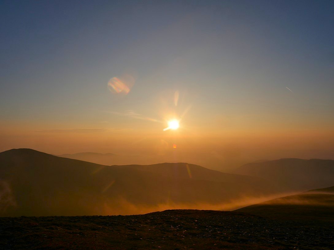
The swirling mist being lit by the setting sun. The breeze from earlier had continued so the sky was changing by the minute.
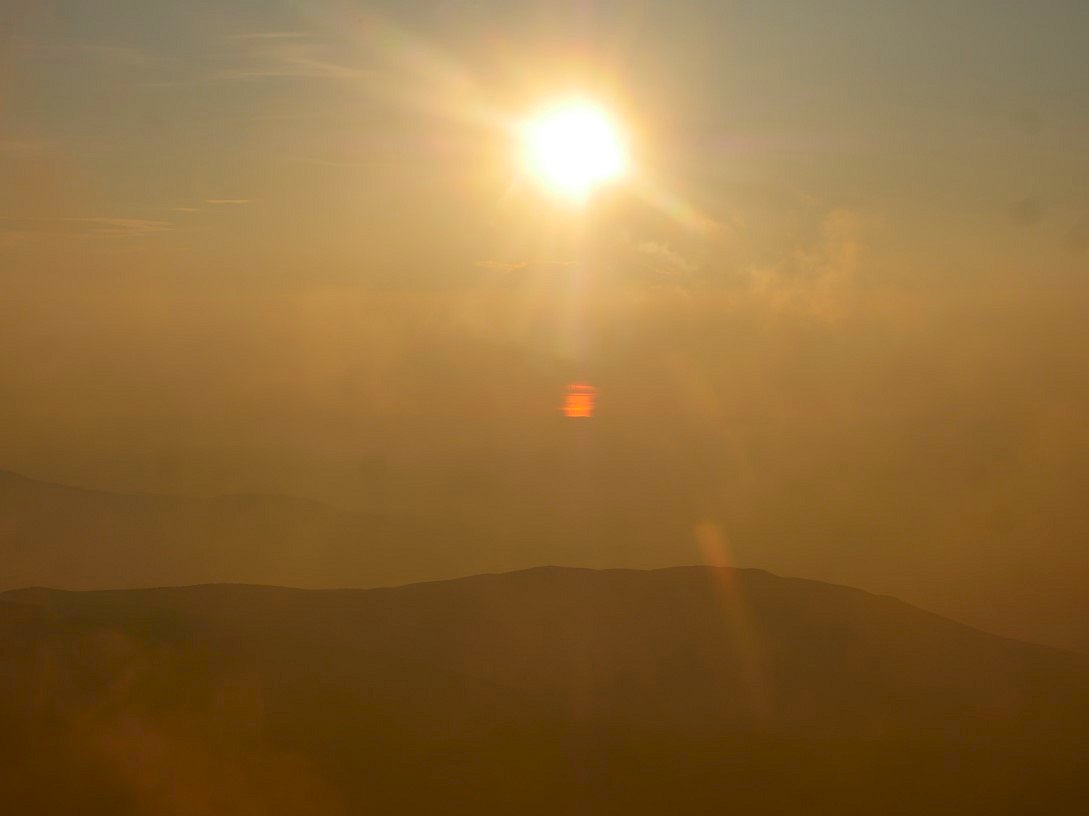
Eventually the sun sank below a big bank of cloud.
The low lying land between me and the coast is lost in the mist.
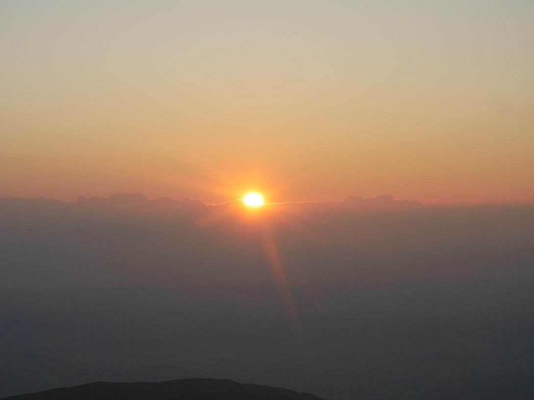
5.15 AM and the sun reappears above Skiddaw.
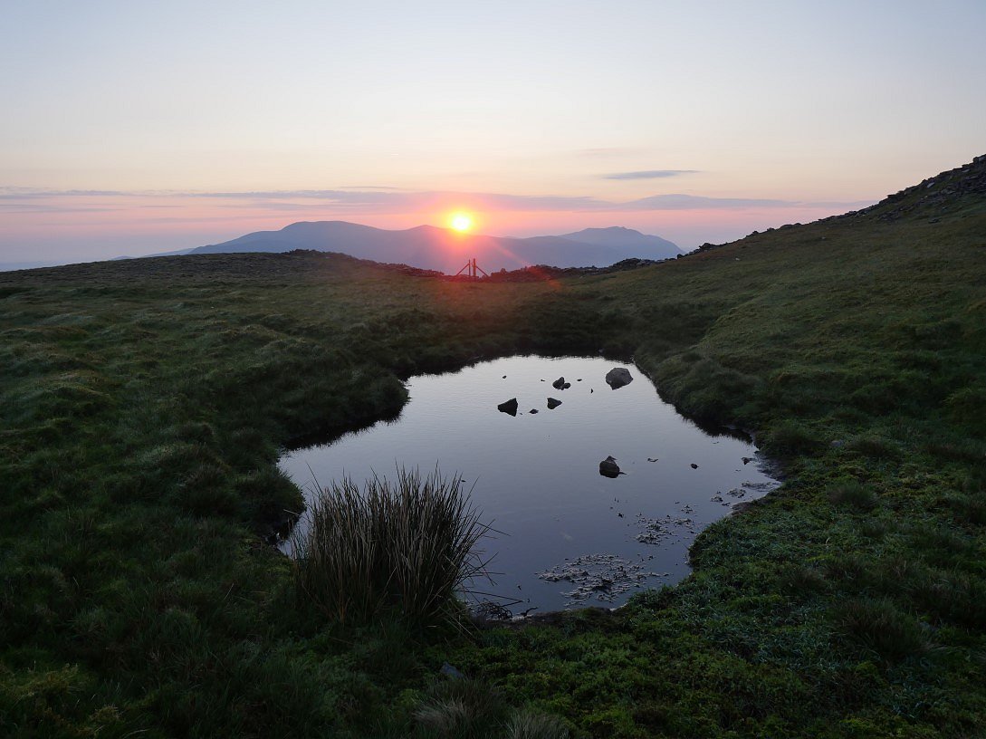
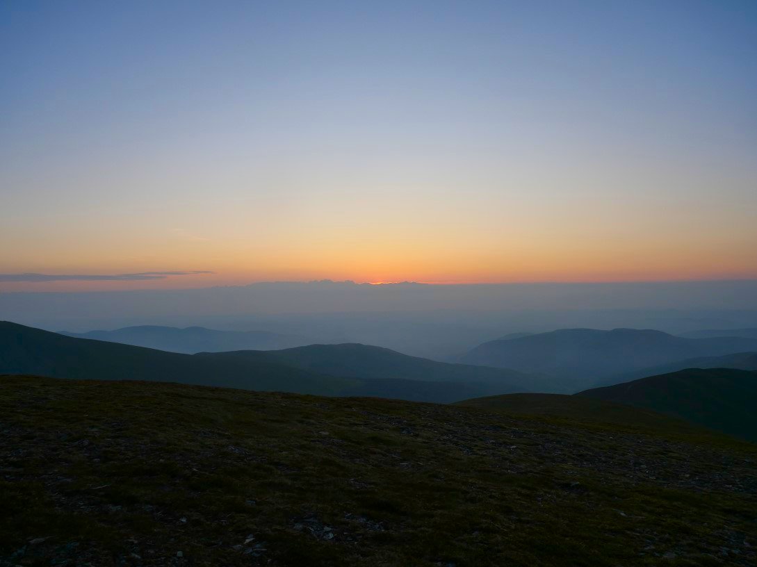
Looking across a tiny tarn to the sunrise.
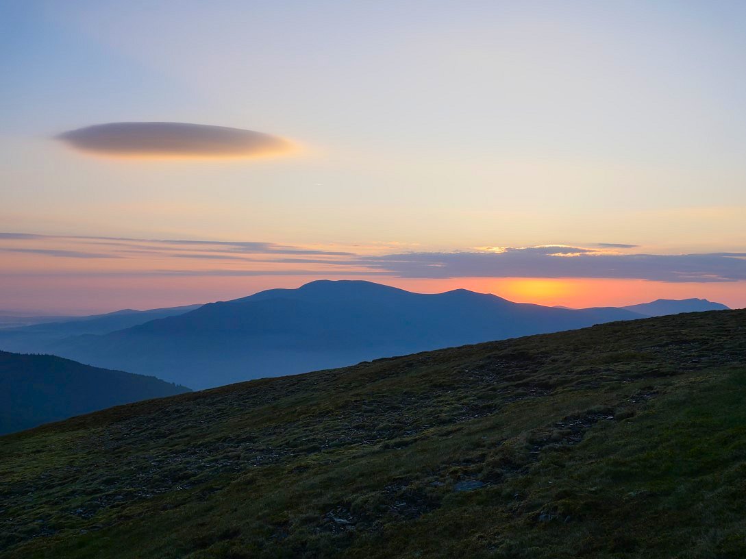
Lovely morning sky.
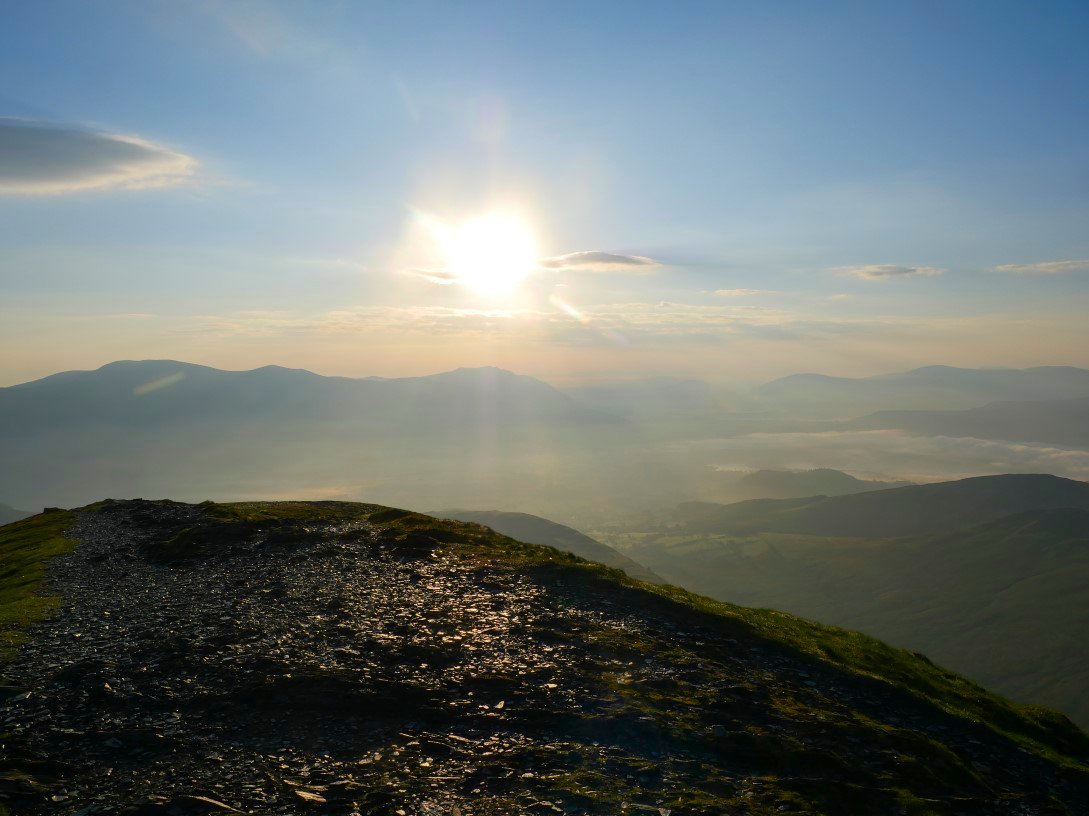
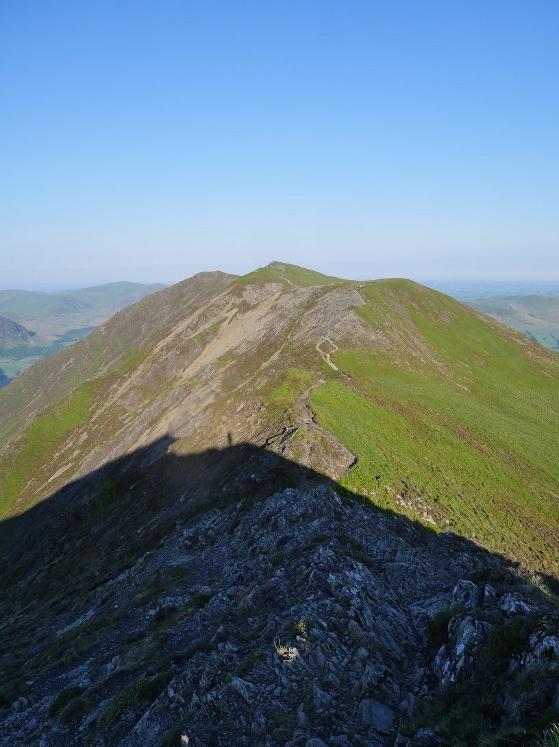
After packing up it only took me a few minutes to reach the summit of Grisedale Pike.
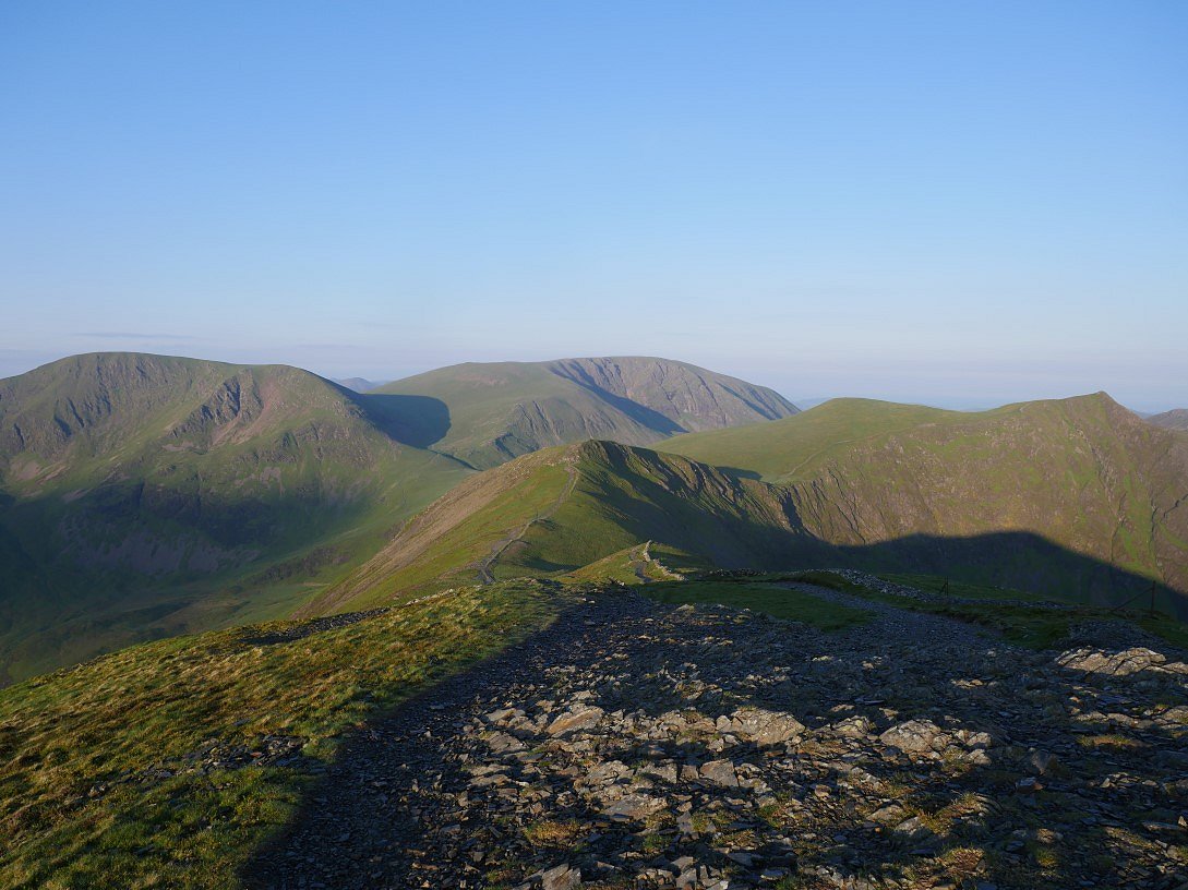
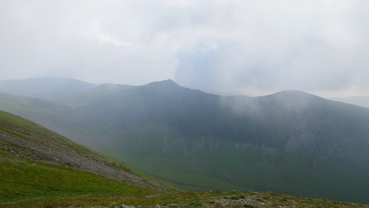
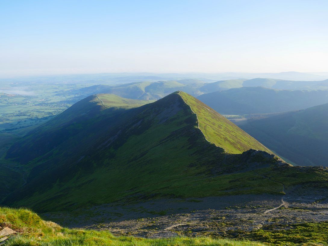
It's a beautiful morning for walking the beautiful ridge along over Hobcarton Crag, Hopegill Head and Whiteside.
Looking down the slabs to Ladyside Pike from Hopegill Head.
Whiteside ahead. One of my favourite Lakeland fells
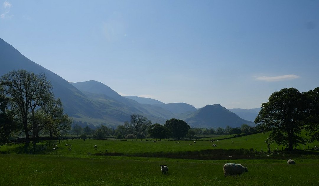
Looking down to Crummock Water and Mellbreak.
And a look back to Grisedale Pike on what is a superb two mile roller coaster.
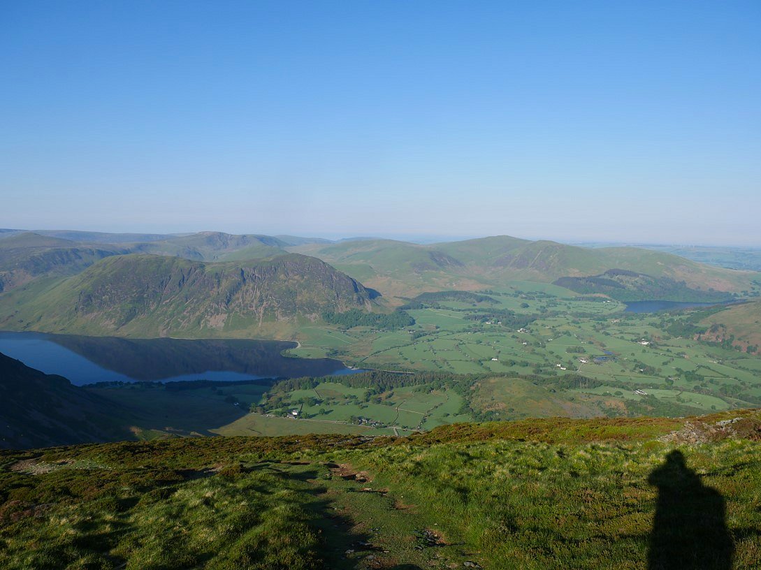
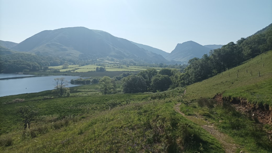
Looking across the Loweswater valley to the hills above Loweswater the lake that I'll be climbing later.
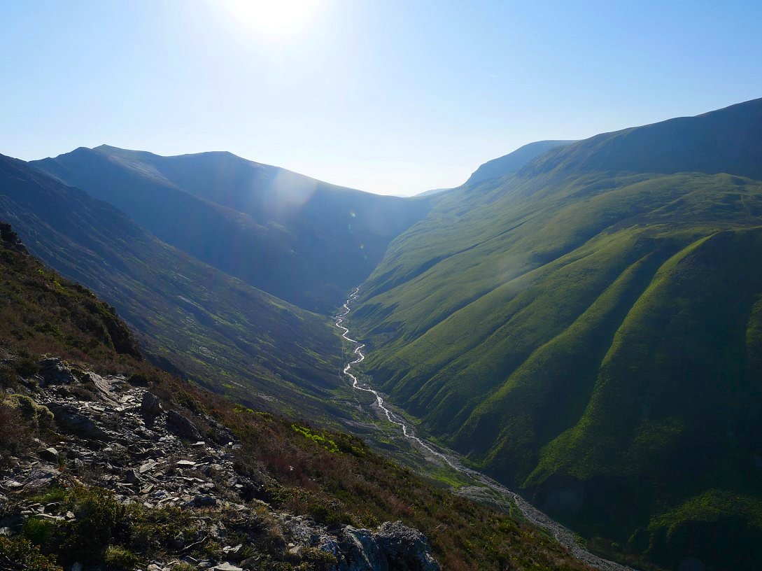
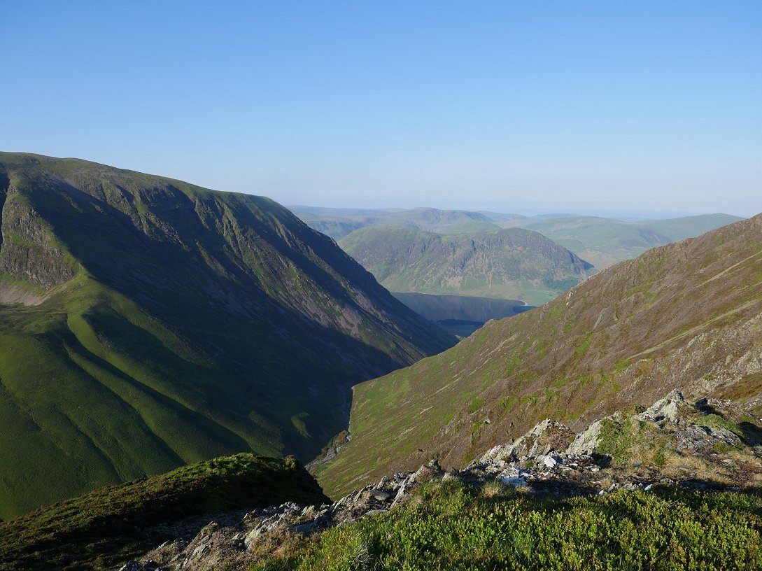
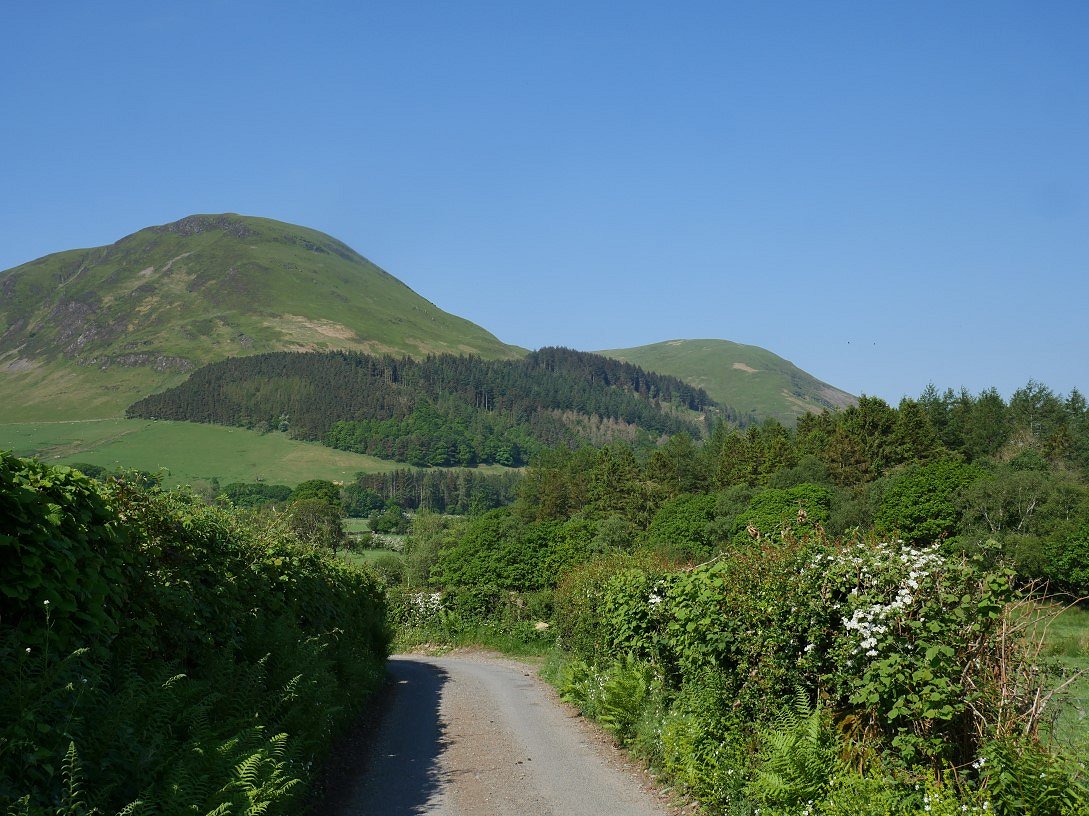
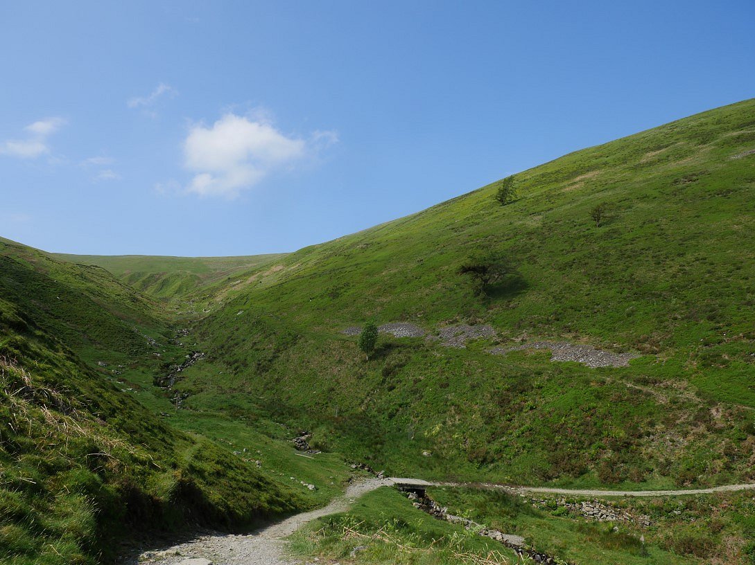
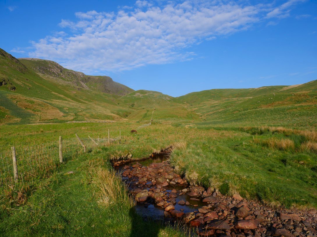
But first I have to negotiate the very steep and in places eroded descent from Whiteside and over Whin Ben. The valley of Gasgale Gill and Lisa Beck is well seen from the path.
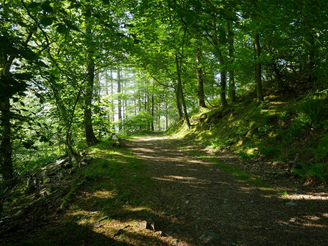
The descent had been very warm so the shelter of Lanthwaite wood was very welcome.
Mellbreak from Loweswater.
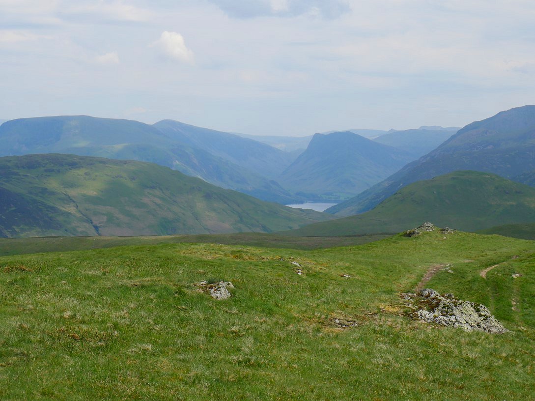
The view down the valley to Fleetwith Pike.
Burnbank fell was my next target and here it is on the right above Holme Wood.
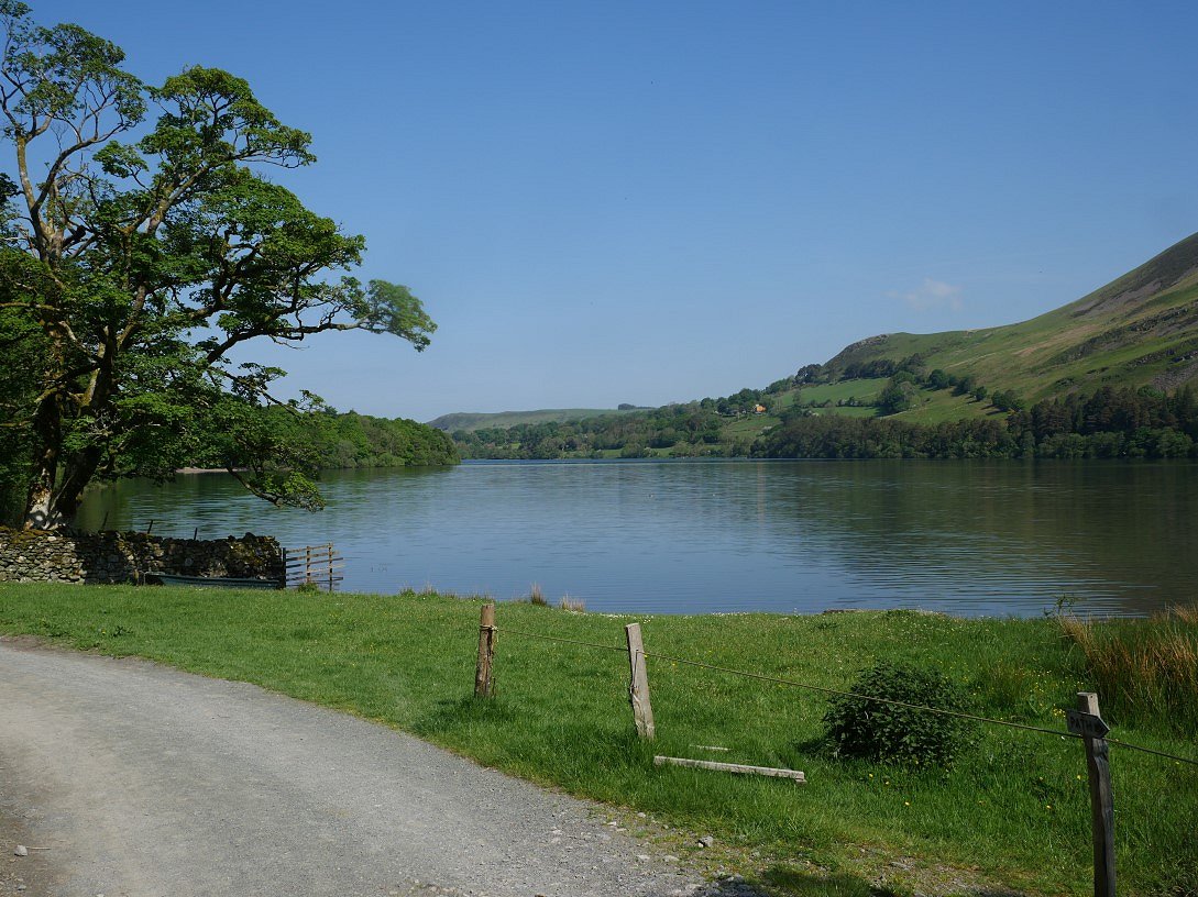
Lovely Loweswater.
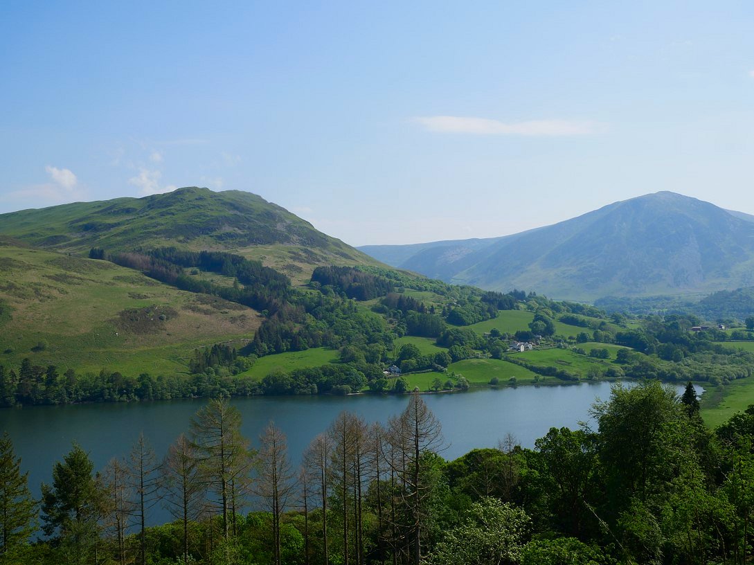
The slanting path through Holme Wood is a delight and here I've turned around to take in the view of Low Fell above Loweswater. Whiteside is the big fell to the right.
Once on the terrace path below Burnbanks Fell I take the more unusual route up by the fence leading away from Holme Beck.
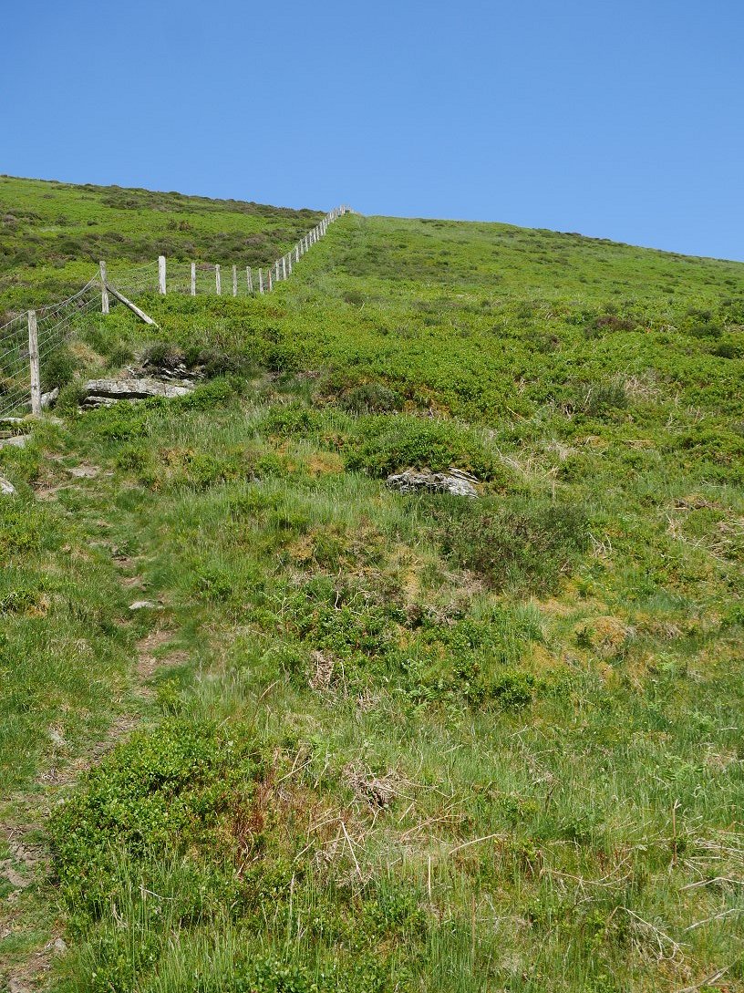
Which is direct and very steep, especially today when it's very warm.
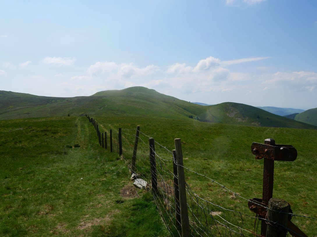
The fence line meets the more well used path from the terrace path and before too long the fence junction which marks the top of Burnbank Fell is reached.
When packing my tent away I'd noticed that it was quite wet either from condensation or rainfall ( although I hadn't heard any in the night ) so I decided to combine a lunchtime siesta with a tent drying session but I thought I'd do it on the lovely little top of Sharp Knott so that's where I'm, headed.
Perfect conditions for tent drying, a lively breeze and a hot sun. I spent a pleasant couple of hours snoozing in the lee of my tent. That's Blake Fell where I'm heading next.
Very tidy little wind shelter on Blake Fell. Ennerdale Water just visible in the distance.
As is Buttermere with Fleetwith Pike above.
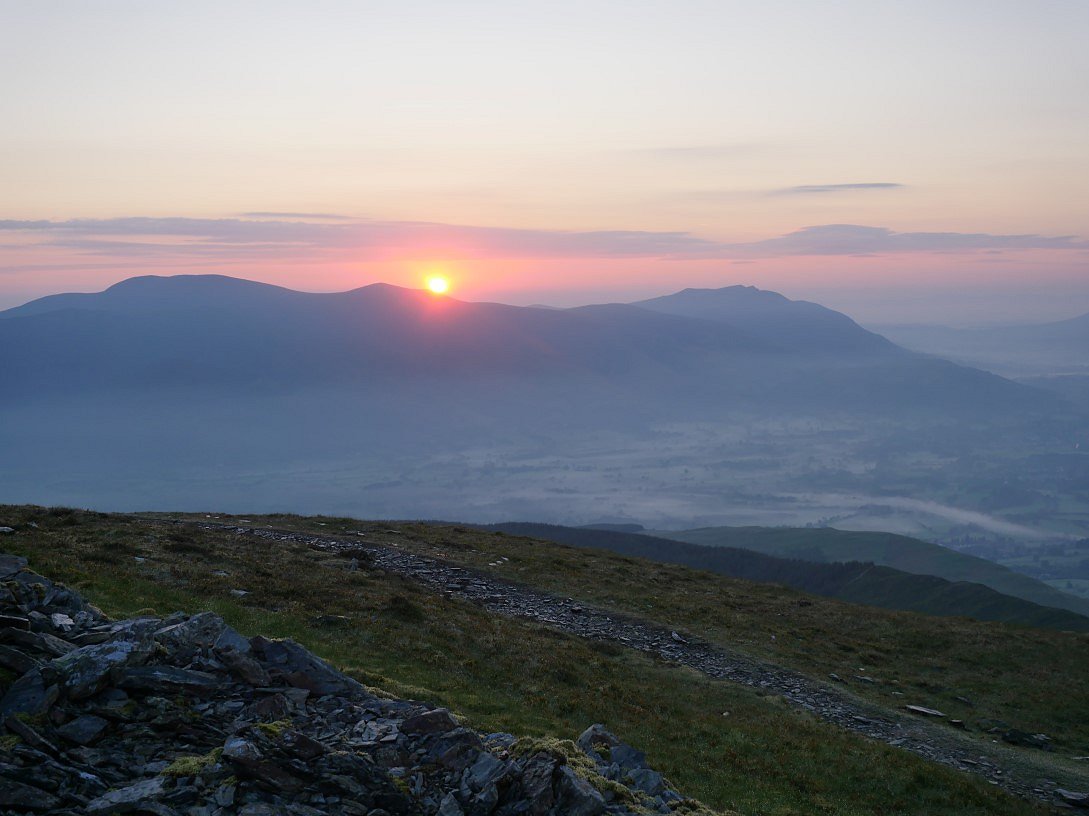
Looking back to Hopegill Head between Whiteside on the left and Grasmoor on the right.
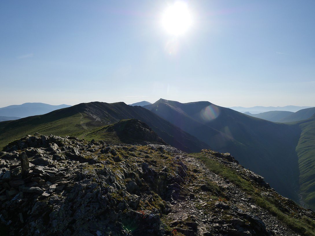
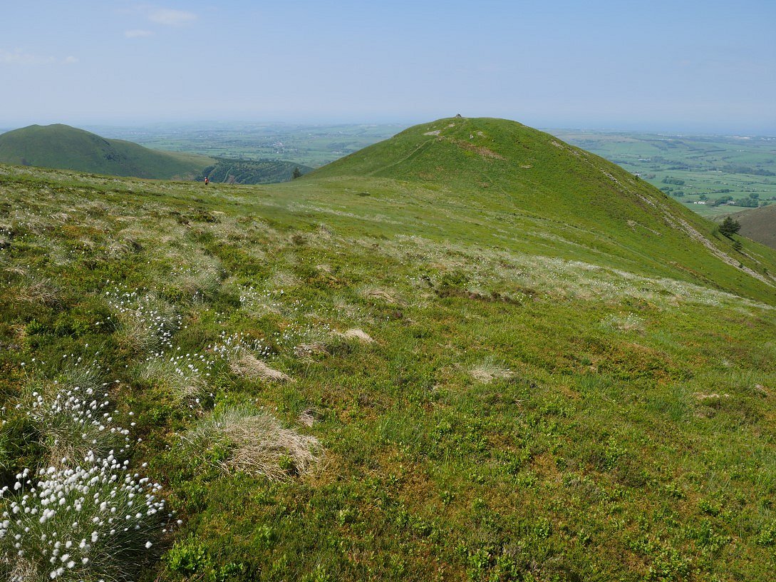
From Blake Fell it's a short descent and a short climb to Gavel Fell. Starling Dodd ( the pointed fell in the centre ) and Red Pike (B) are the fells in the middle distance beyond them are Pillar, Black Crag and Scoat Fell. And in the gap between Starling Dodd and Red Pike are Great Gable and Kirk Fell.
Nice afternoon light on Herdus/Great Borne and to the right Floutern Kop. I had a struggle finding a dry and level pitch on Whiteoak Moss but eventually found a not so perfect but acceptable spot.
The sun dropping behind Gavel Fell.
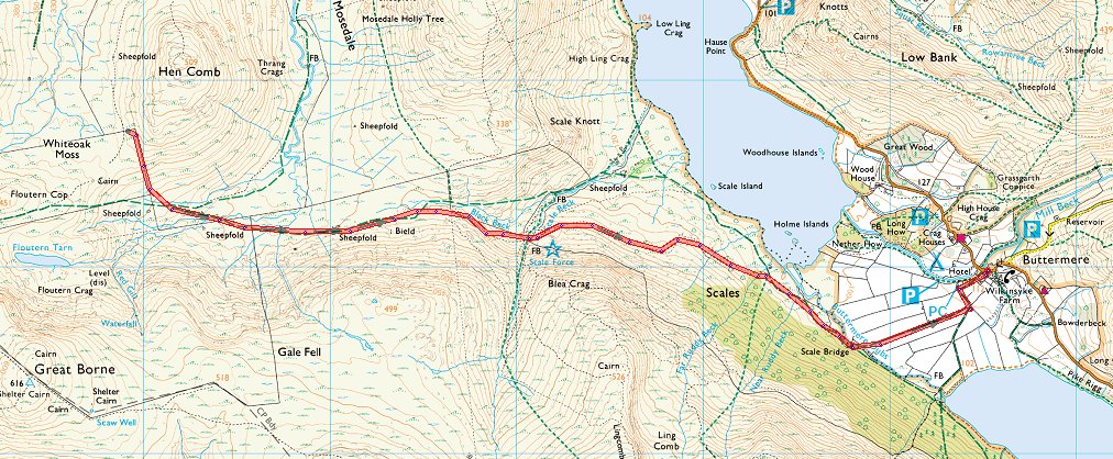
Sunday was a stunning day, unfortunately I had to spend the majority of it getting home. This is looking back to the higher reaches of the Floutern Pass. This is a notoriously boggy area so if you want feet that are just a bit wet rather than legs that are very wet it's best to keep to the path.
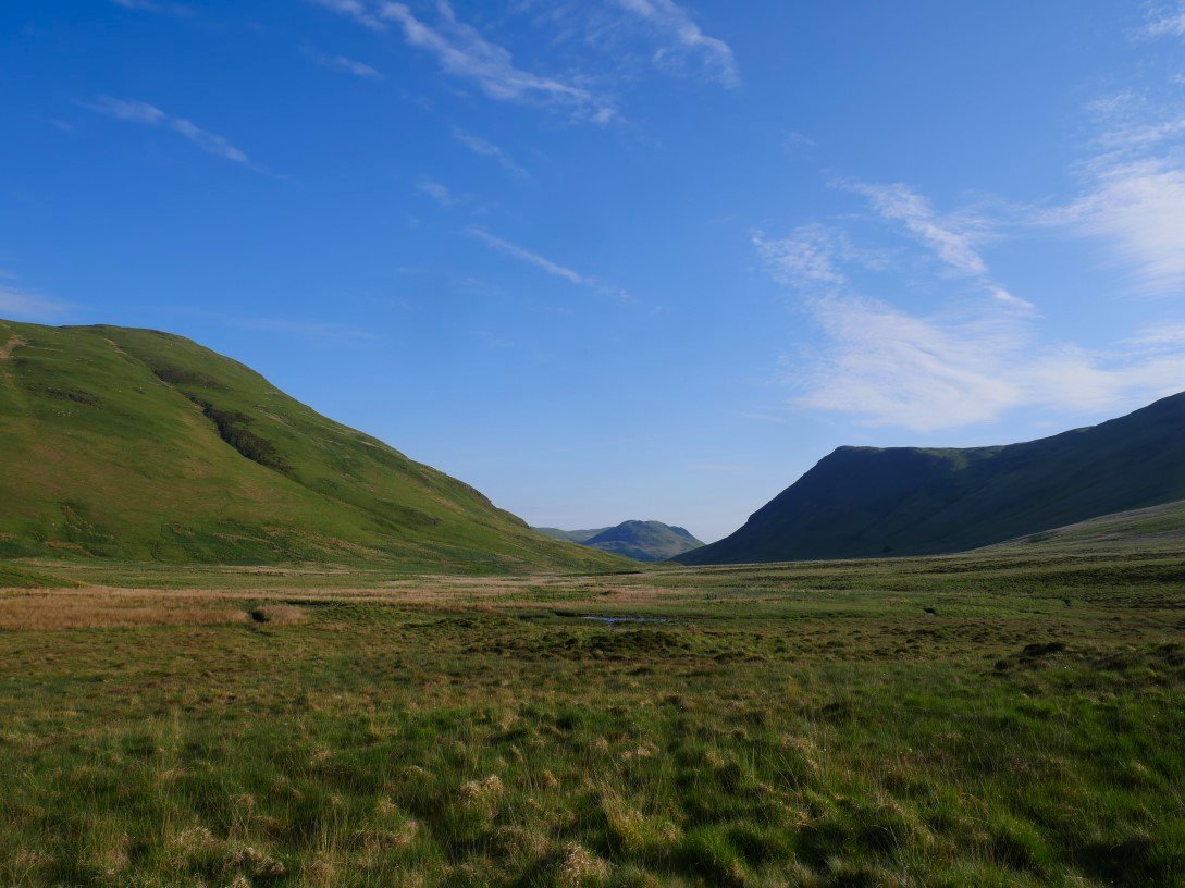
Looking along Mosedsale to Low Fell. Hen Comb on the left and the northern end of Mellbreak on the right.
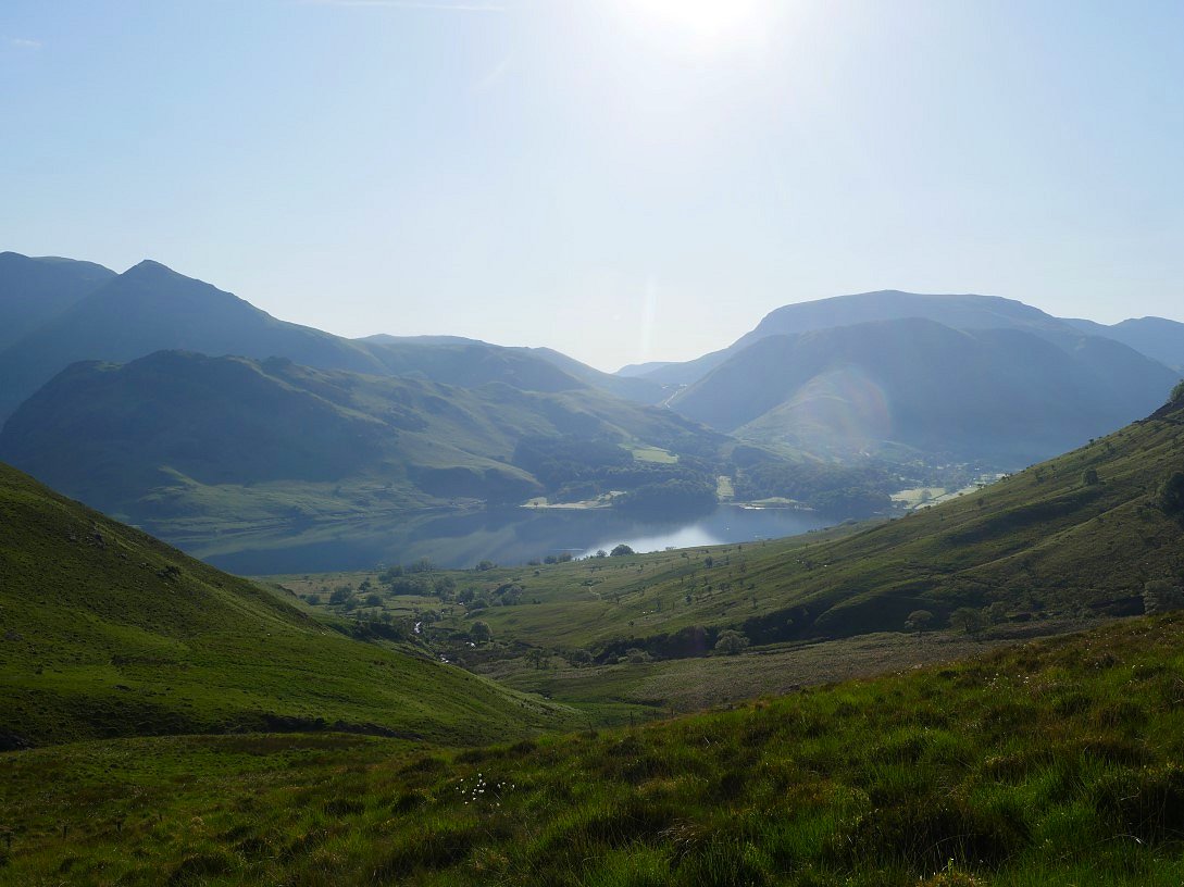
Eventually the southern end of Crummock Water and Buttermere village with the Robinson and the Newlands pass above come into sight.
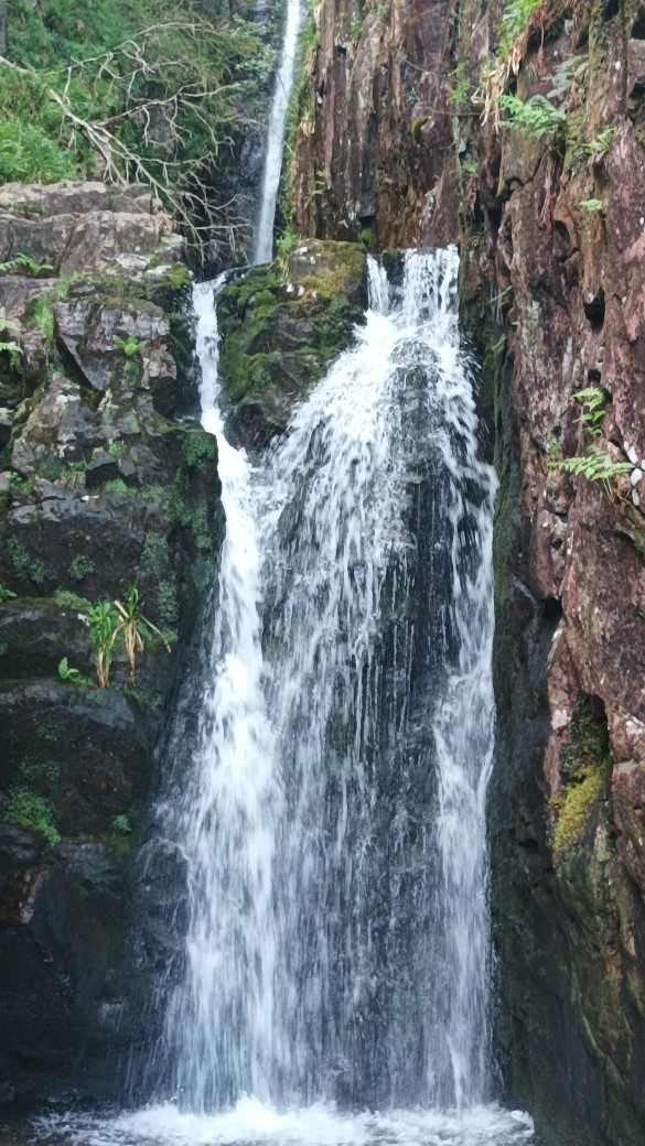
I paid a visit to Scale Force which was in quite full flow.
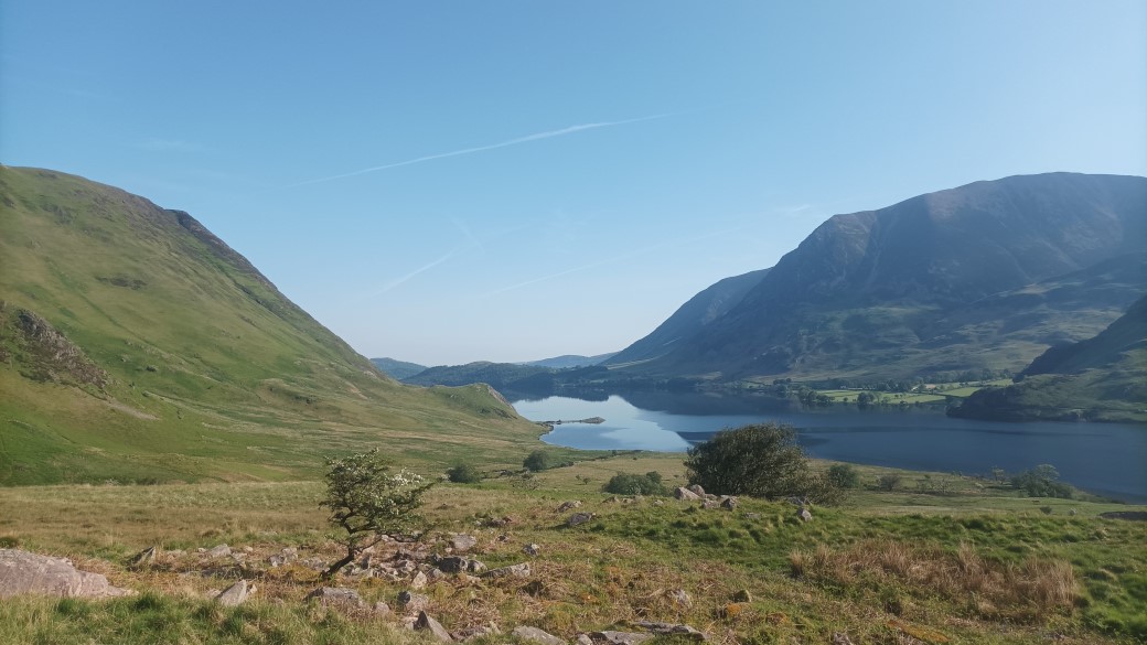
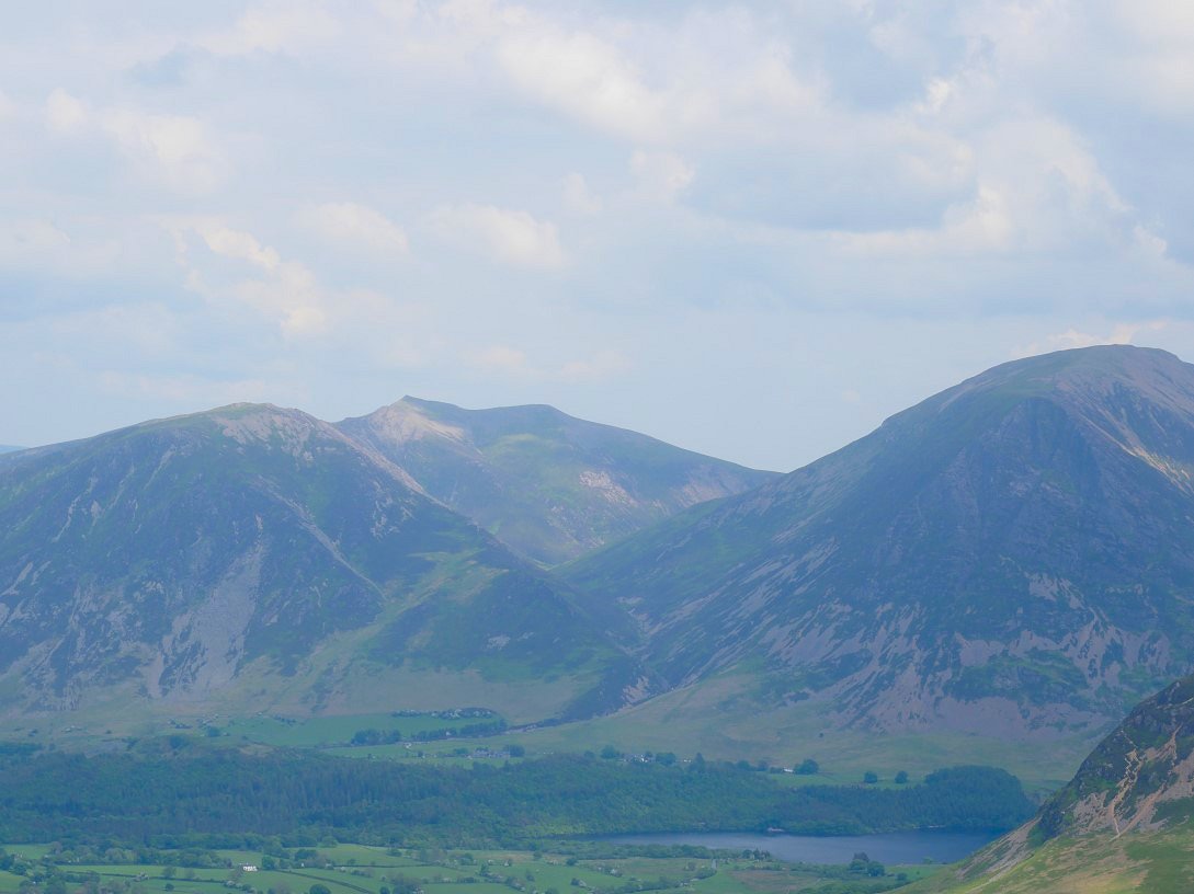
The view along Crummock water to Mellbreak, Grasmoor and Whiteside.
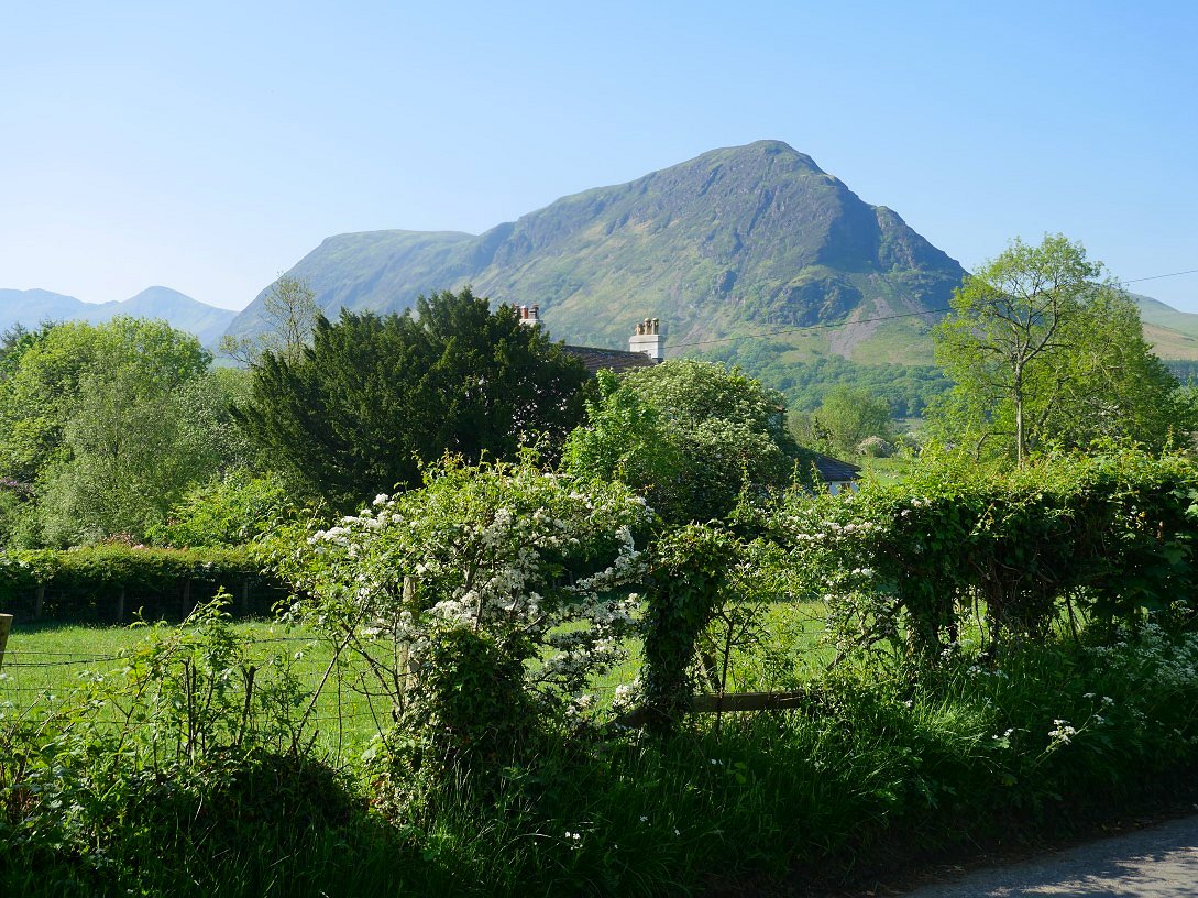
Fleetwith Pike again seen from the walk to the village and the bus stop.
Previous walk - A round from Ambleside and a night on Scrubby Crag - Next walk - The High Stile ridge and a night in Pillar Cove