WWW.KARLSWALKS.CO.UK
PICTURES AND TRIP REPORTS FROM MY WALKS IN THE ENGLISH LAKE DISTRICT
|
E-mail - karl@karlswalks.co.uk |

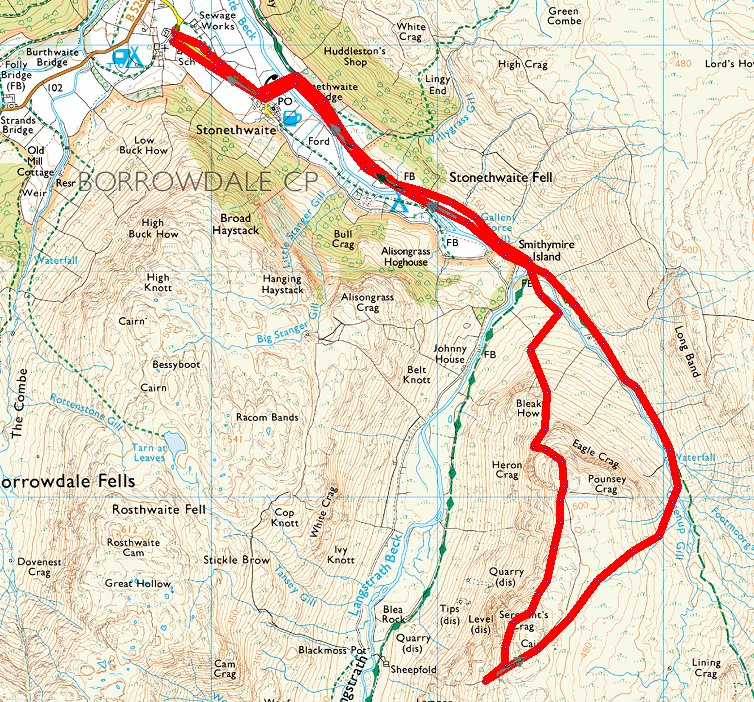
A great little winter walk today and it did feel very wintery at times.
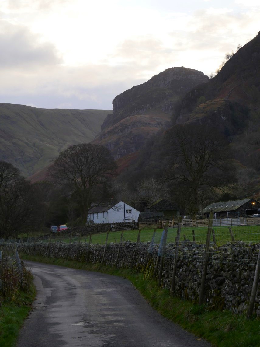
It actually was a lovely morning when I pulled into a parking space near Rosthwaite school but in the time it took my to get my boots on and gear together it had already started to cloud over. Eagle Crag dominates the view as you walk down the lane into the village.
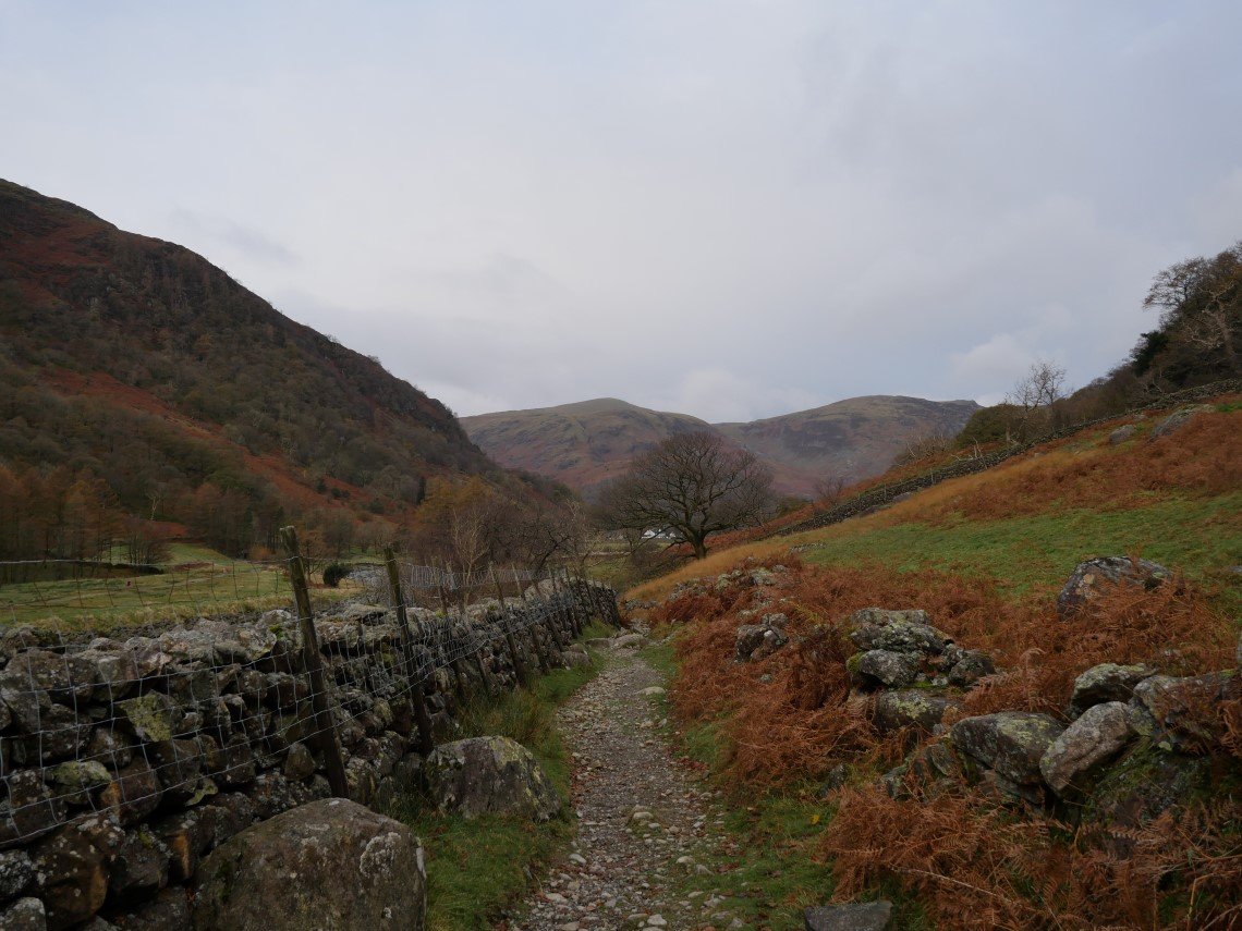
The view back down the track leading away from Stonethwaite.
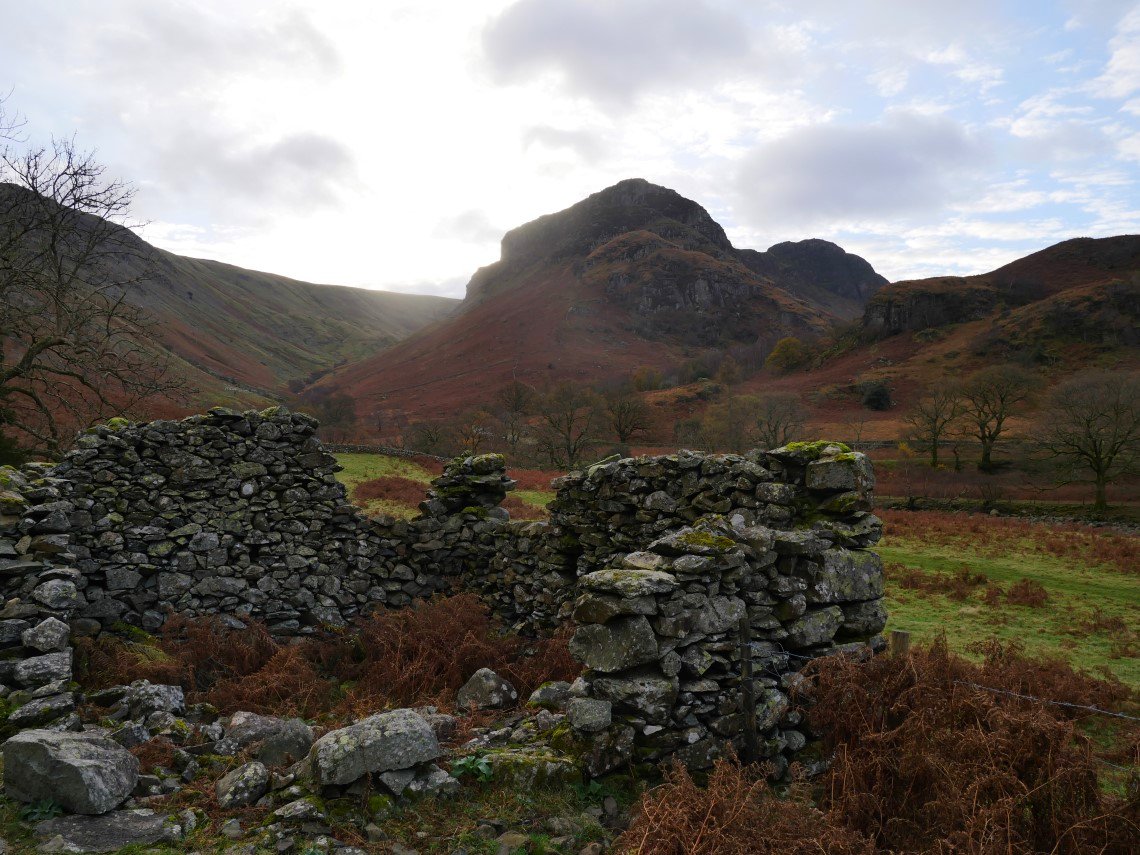
Further along the track and Sergeant's Crag now comes into sight behind Eagle Crag.
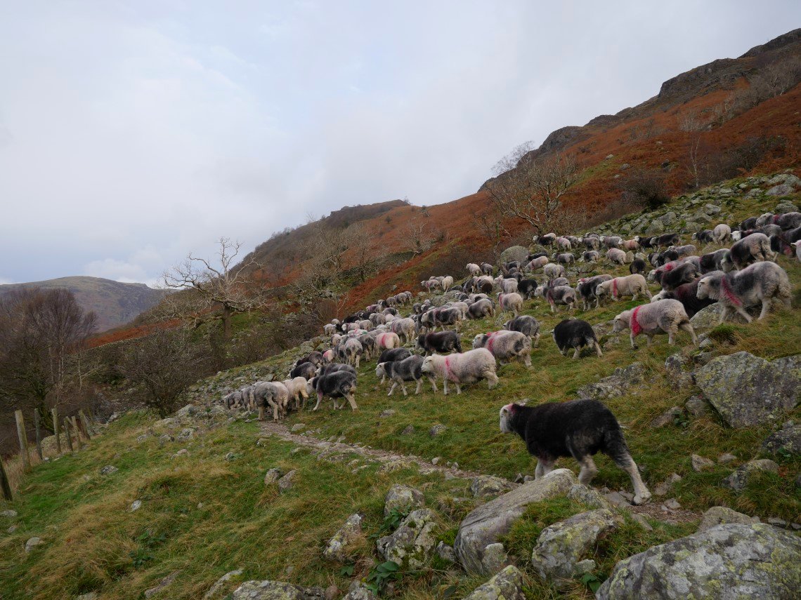
I had to take to the rough edge of the path as this stampede came through.
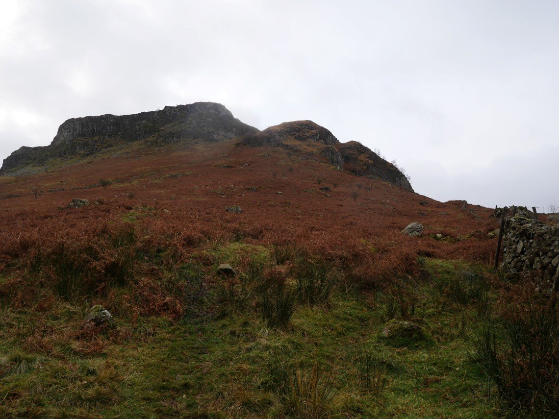
After crossing Greenup Gill and then making my way across some boggy ground I reached the first of two walls which climb up to Bleak How and then the lower reaches of Eagle Crag. Usually I take the second wall but today I climbed up by the first wall which judging by the amount of footprints seems to be well used.
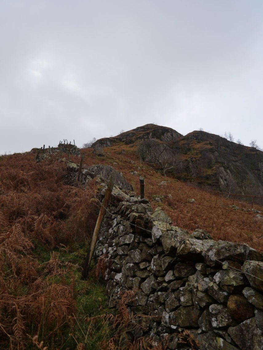
It's just as steep as the second wall though. Bleak How is above me now.
.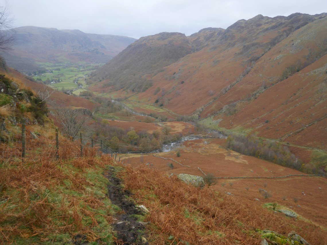
View back down to the waters meeting of Langstrath Beck and Greenup Gill.
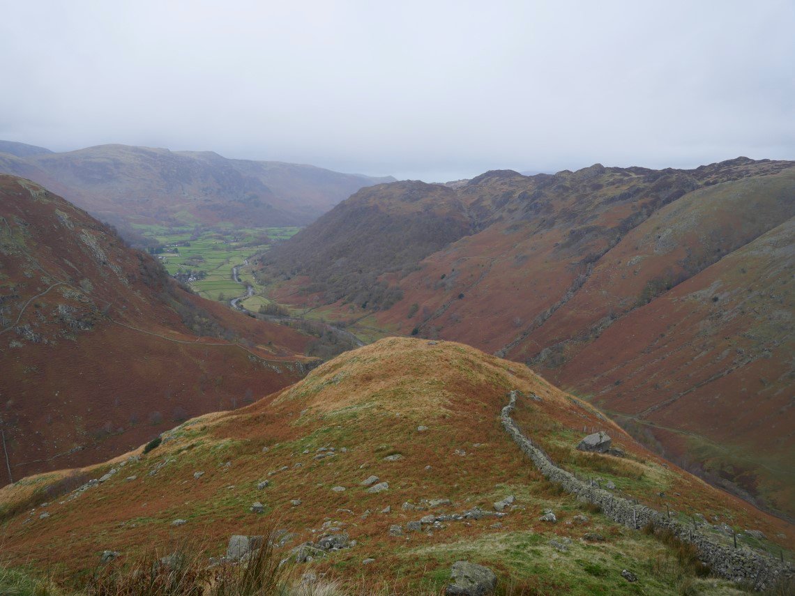
The path by the first wall meets the second wall path below Bleak How and together they lead you to the stile from where I usually take a photo because I'm in need of a breather.
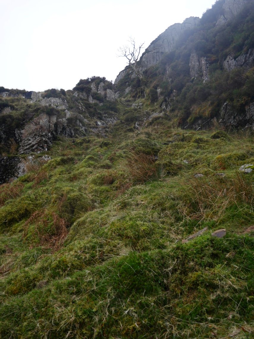
Looking up the gully used to access the upper reaches of Eagle Crag.
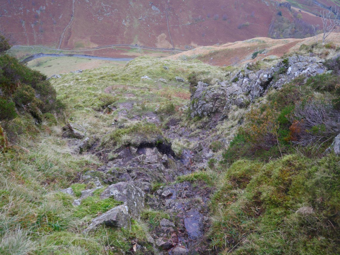
And looking back down what is a very mild scramble but with a great view of the valley floor.
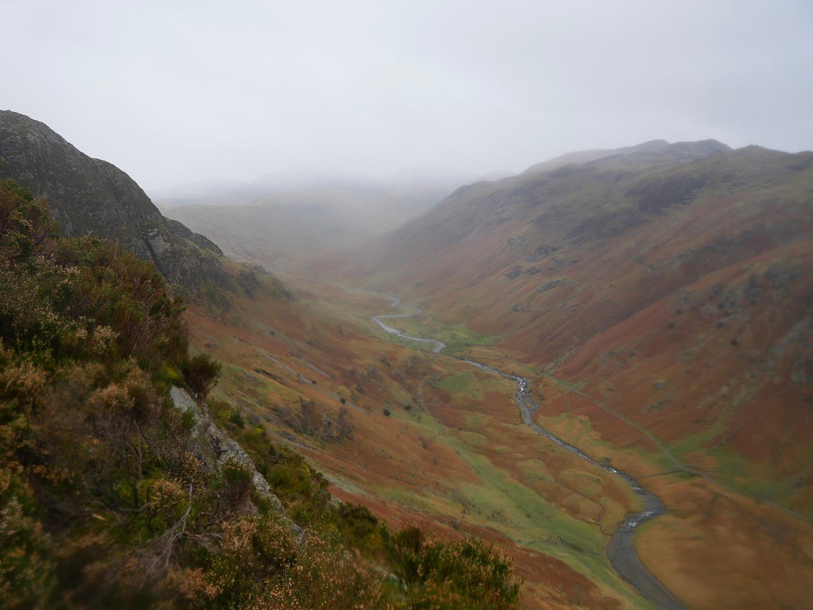
Lovely Langstrath with the aforementioned wintery weather arriving.
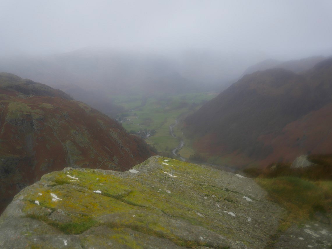
I reached the summit of Eagle Crag at the same time as a storm of not quite hail but very thick rain.
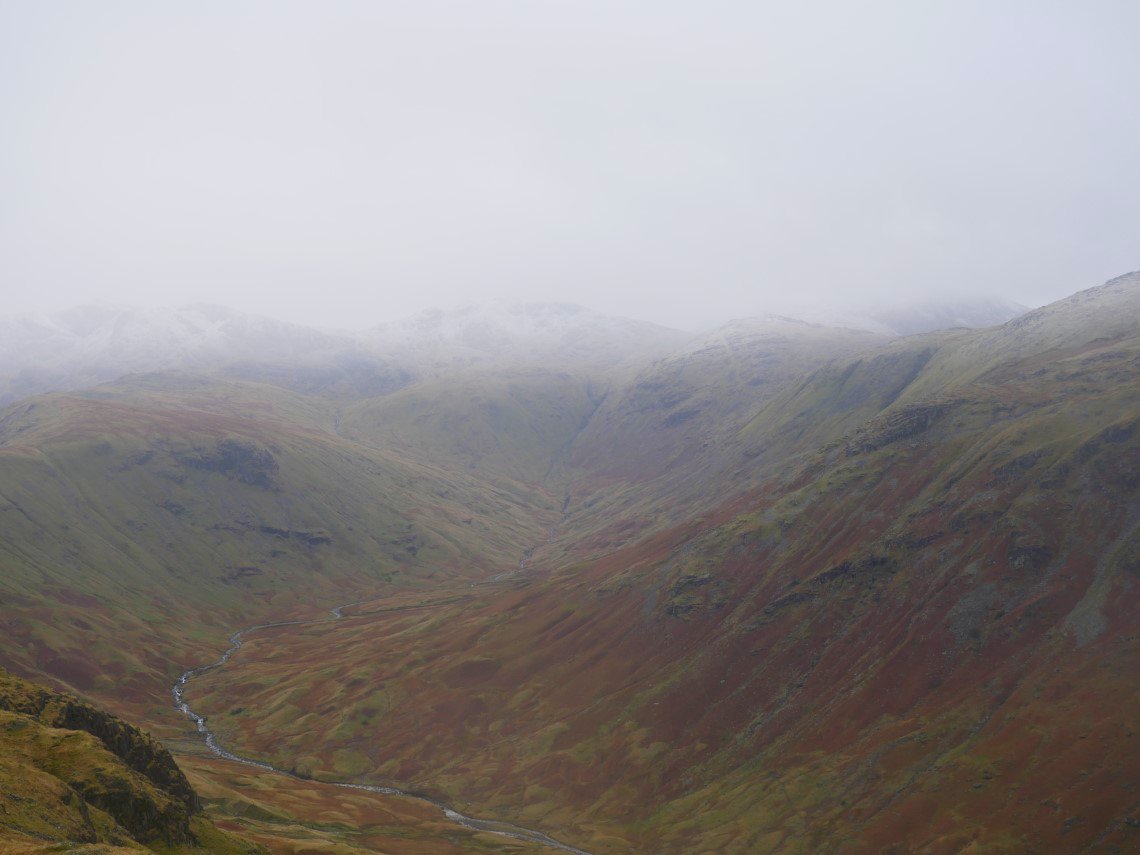
A clearer view along Langstrath from Sergeant's Crag when the rain had passed through.
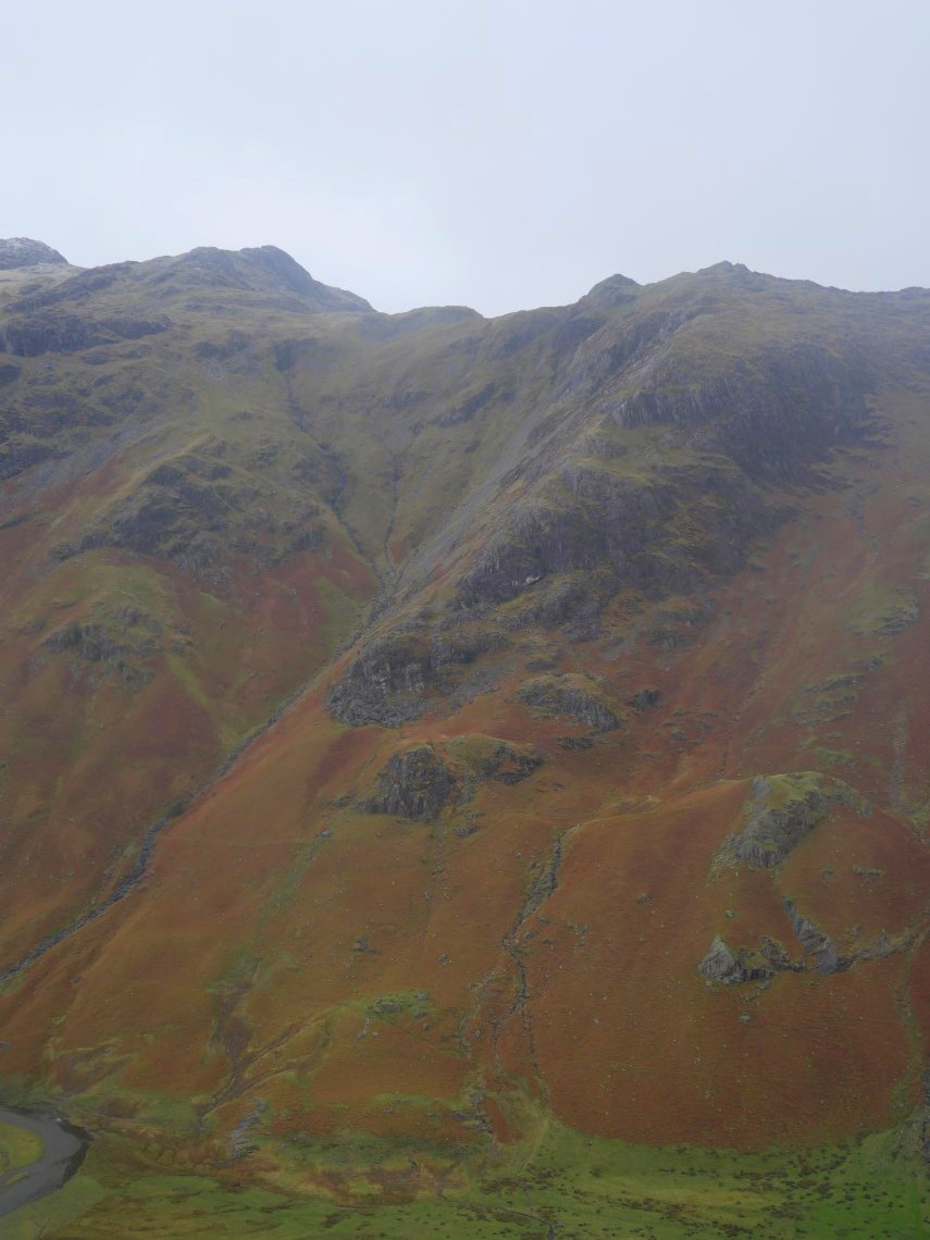
When I walked along Langstrath earlier this year I'd seen what looked like a path coming down from just beyond Sergeant's Crag so today I set off to see if I could find it but unfortunately the grass was too steep and rough and the weather too cold for much exploring so I took this photo of the Cam Crag ridge and retreated back up the hill.
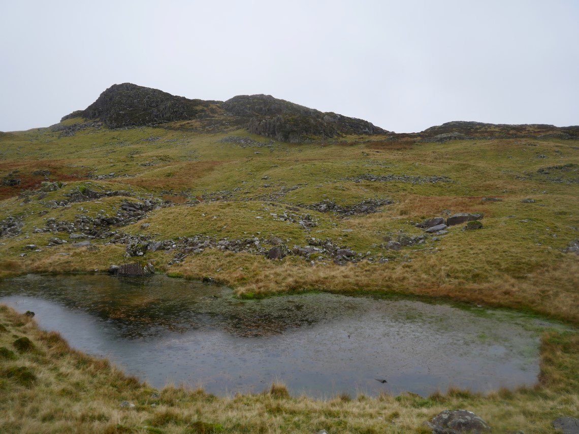
I contoured below the top of Sergeant's Crag passing this little tarn.
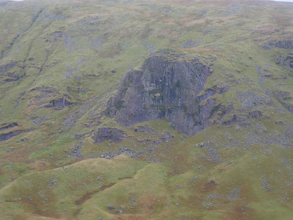
Zooming in on Lining Crag.
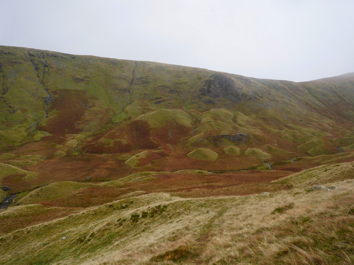
And a wider view showing the what some people refer to as the Glacial Drumlins although in our house we prefer to use the correct geological term which is the Tellytubby Hills.
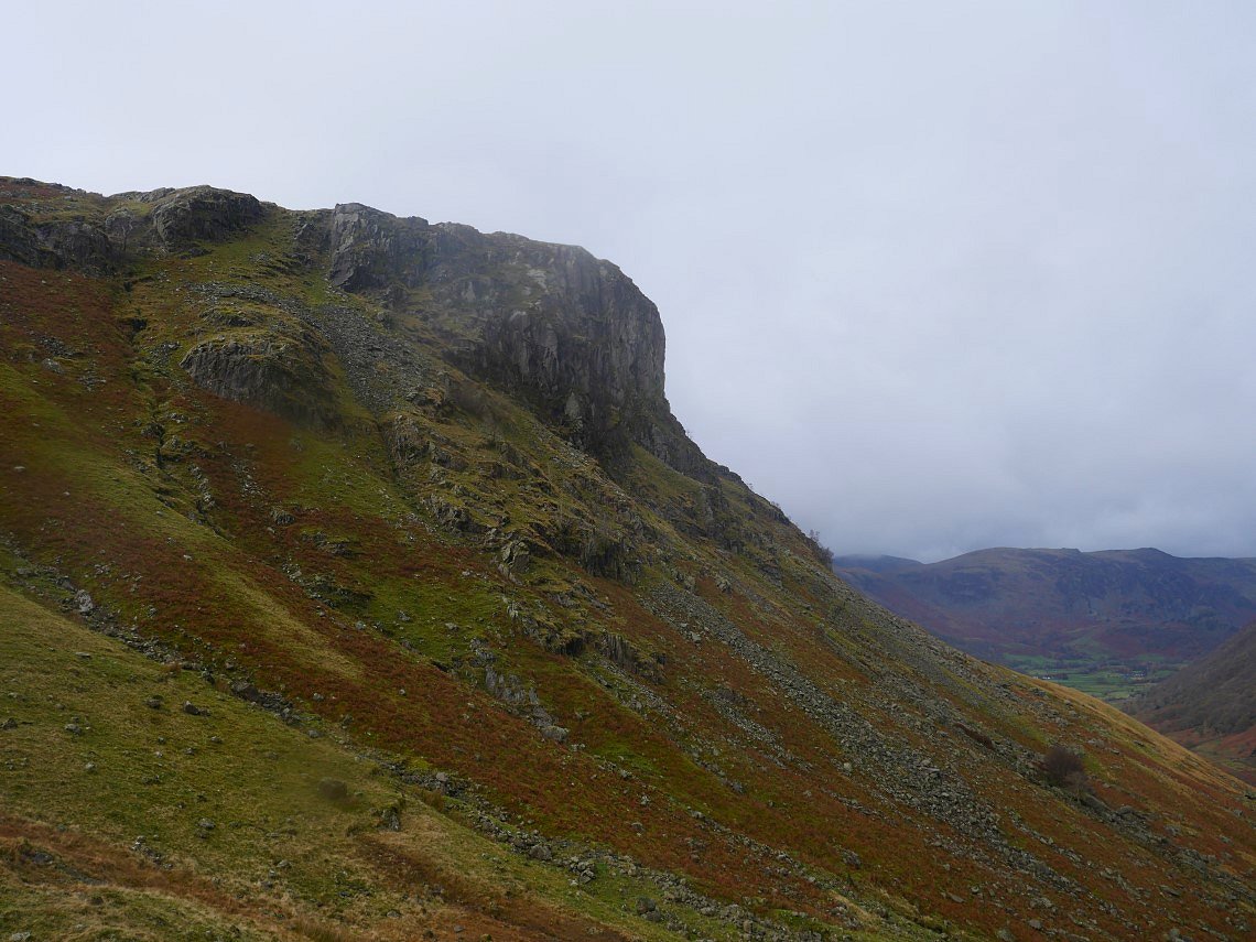
Eagle Crag in profile from the path down the valley.
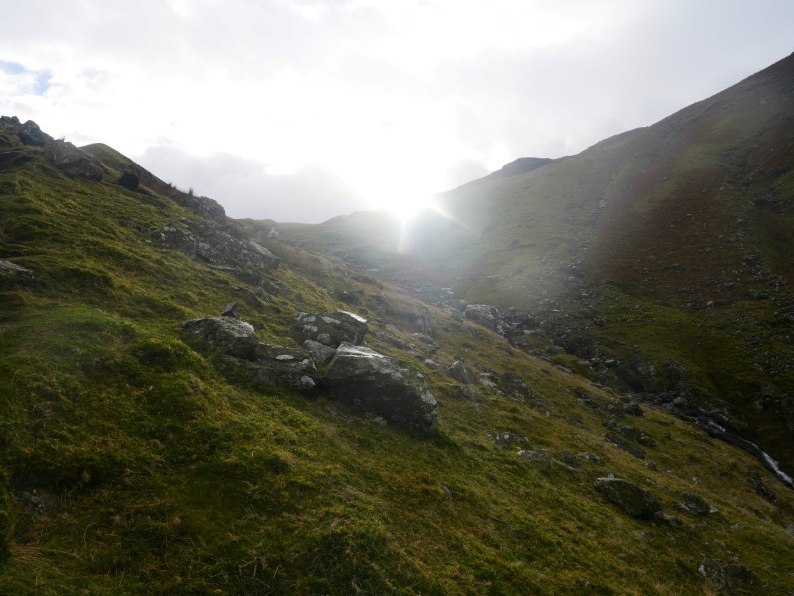
For about thirty seconds I had the sun on my back.
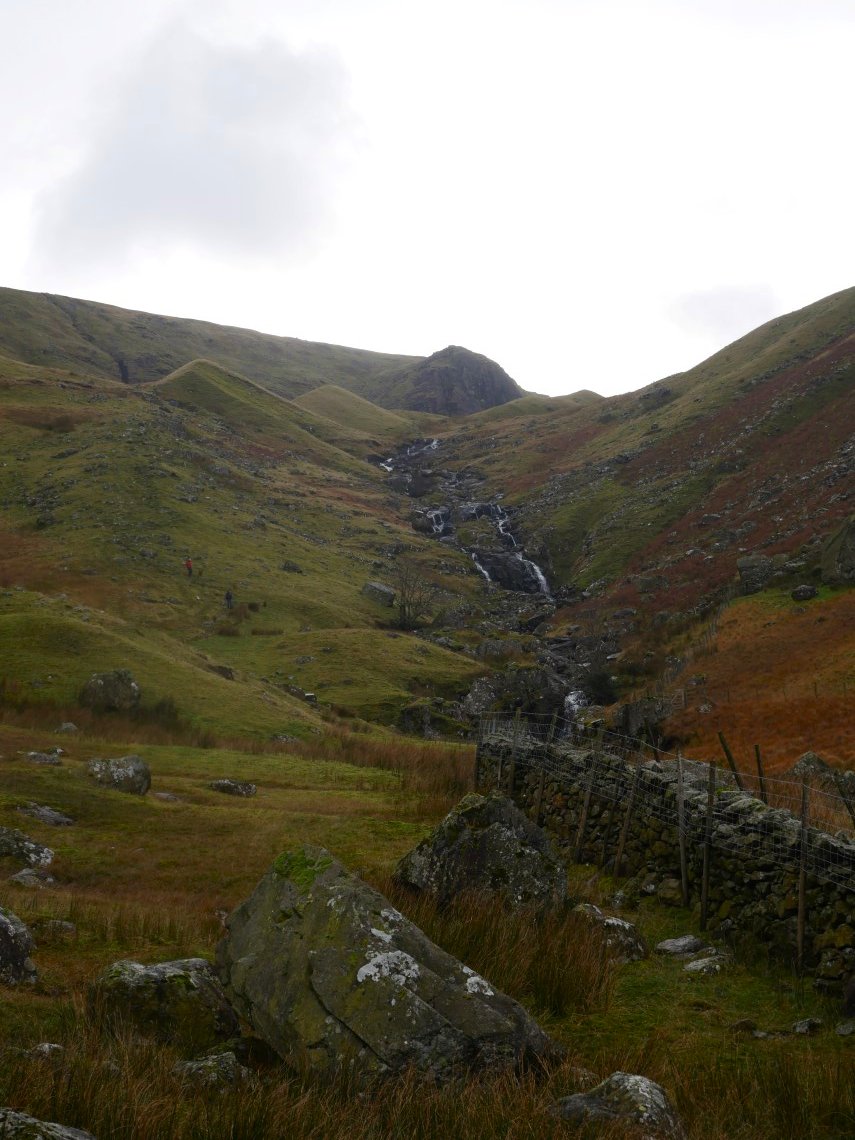
I think this view up to Lining Crag and Greenup Edge is one of my favourites.
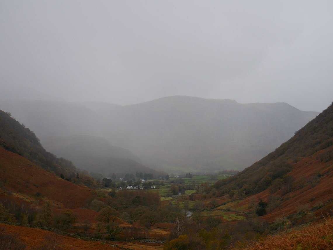
A bit further down and it looks like winter has returned to Borrowdale.
Previous walk -- A Grey Friar round. - Next walk - The Forest of Bowland