WWW.KARLSWALKS.CO.UK
PICTURES AND TRIP REPORTS FROM MY WALKS IN THE ENGLISH LAKE DISTRICT
|
|
|
|||||
|
|
|
|
|
|
|
|
E-mail - karl@karlswalks.co.uk |
A linear walk today making use of the bus .
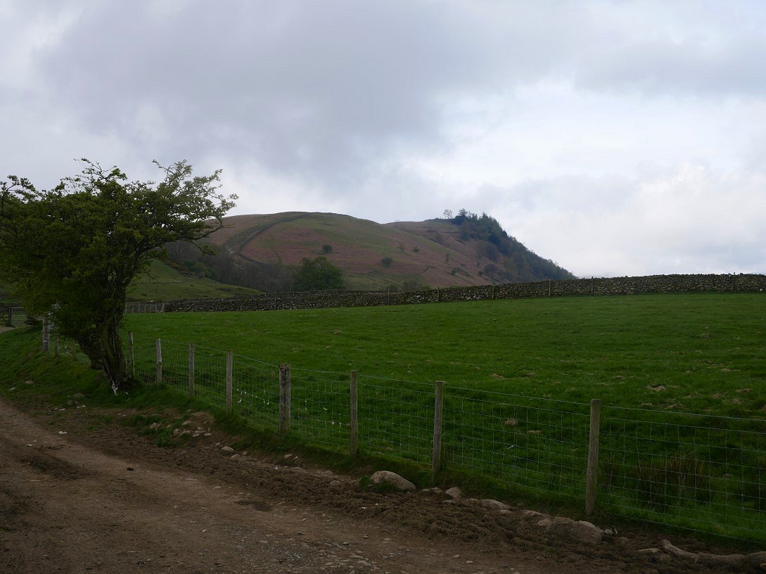
Leaving my car in Ambleside I caught the 555 to Castlerigg just outside Keswick. A track leaves the A591 and heads across the fields towards the campsite. Walla Crag is my first fell to be climbed today and it soon comes into view from the track.

The skies were a bit dull but the forecast was for sunny spells and to improve ( which it did ) by late afternoon. Here Catbells is in the sunshine.
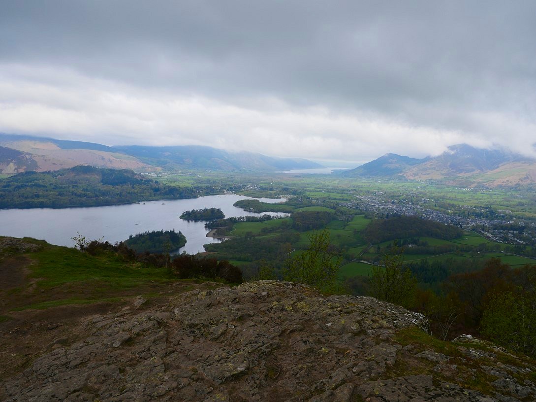
After a steady climb Walla Crag is soon reached. This is the view northwards over Derwentwater and Keswick to Bassenthwaite Lake. Skiddaw is in cloud on the right.
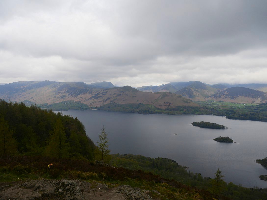
And this is the view southwards along Derwentwater.

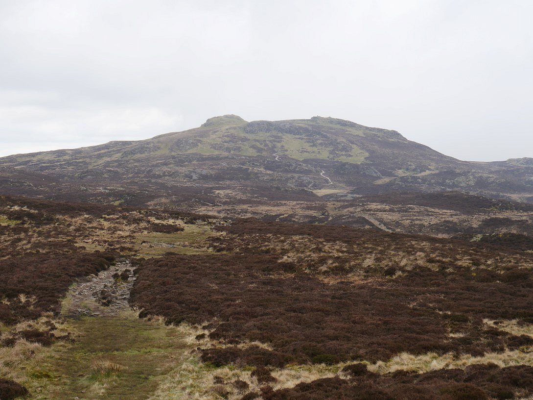
Bleaberry Fell seen from the path across Low Moss. The cloud stubbornly hung around so I had no views at all from the top.
High Seat was clear though and I did quite well managing to stay dry on the crossing of the boggy saddle between the two fells..
.
On to High Seat looking across the subsidiary summit of Man to the Helvellyn Dodds.
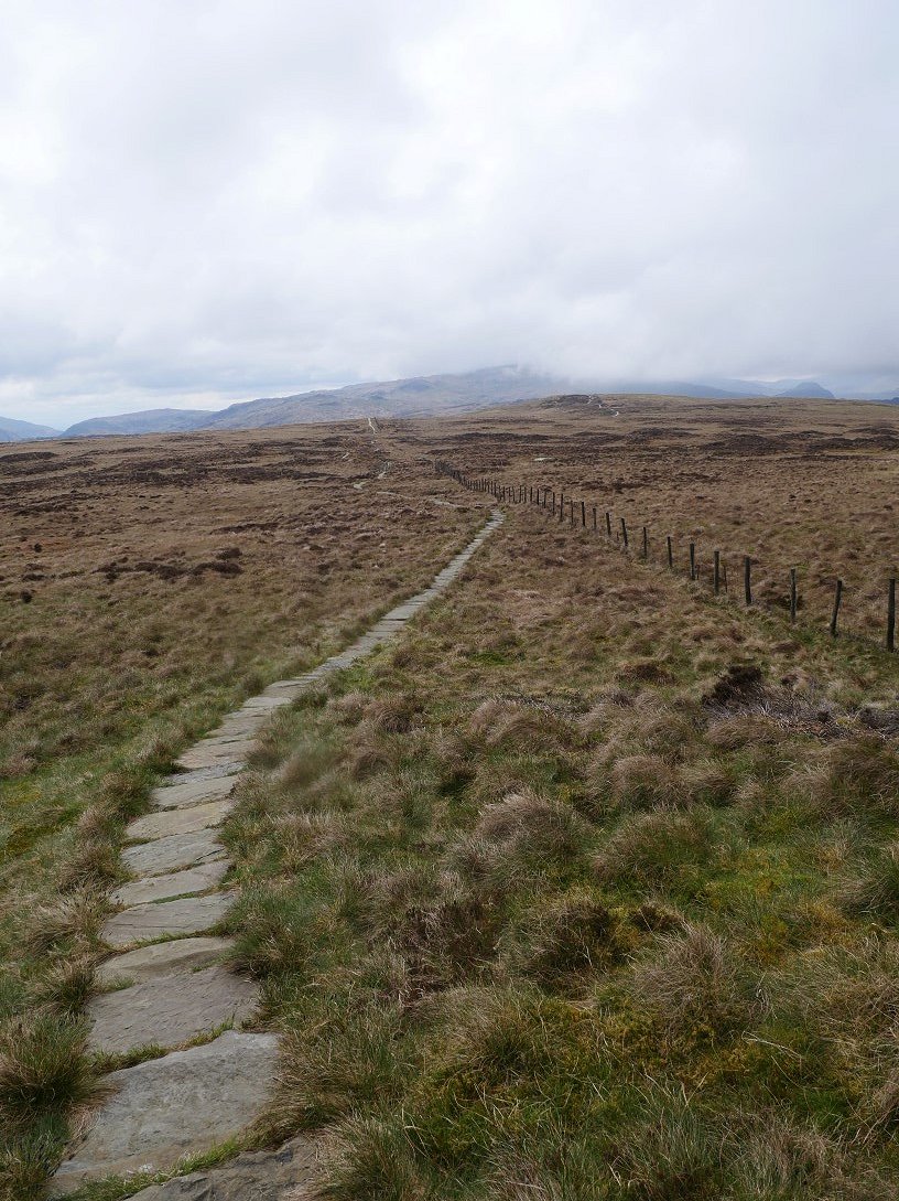
The notorious bogs of the Pewits have been tamed now by this superb flagstone path.

You can see the sort of ground you had to battle with before the path was laid.

The next top along the ridge is High Tove, which hasn't got a lot going for it to be honest but you do have a nice view ( well on a clearer day ) over to the higher fells above Borrowdale.
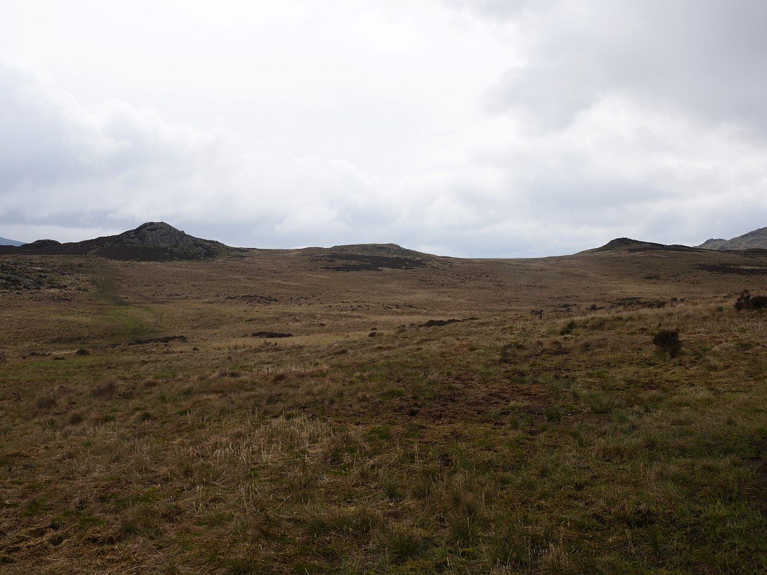
High Tove marks the end of the new path so it's back to bog dodging. Here I'm headed for the mighty twin tops of Armboth Fell.
And looking back to High Tove from the marginally higher of the two.
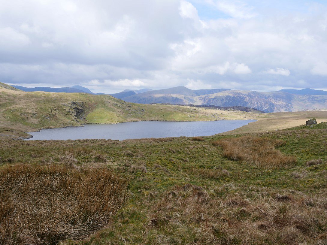
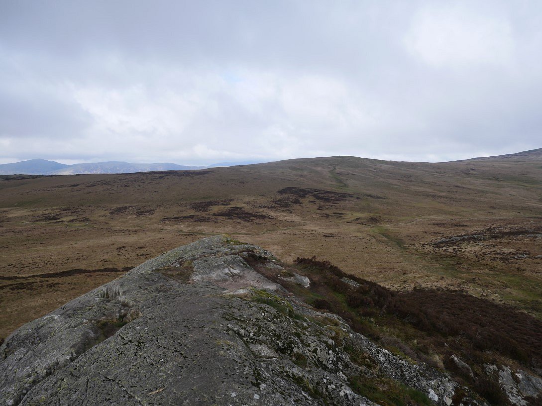
Having not been this way for a year or two I'd forgotten just how hard it is to walk with any rhythm or speed both on the climb back to the fenceline from Armboth Fell and then along the fence. It only took one moment of inattention and I was up to both knees in a bog. Eventually the ground does get drier as you climb towards Standing Crag, and as a bonus the sun has come out and Blea Tarn looks a lot brighter than it did a few minutes before.

And here is Standing Crag. The path makes use of a grassy rake on the left so there is no need for any climbing ( unless you wanted to of course ).
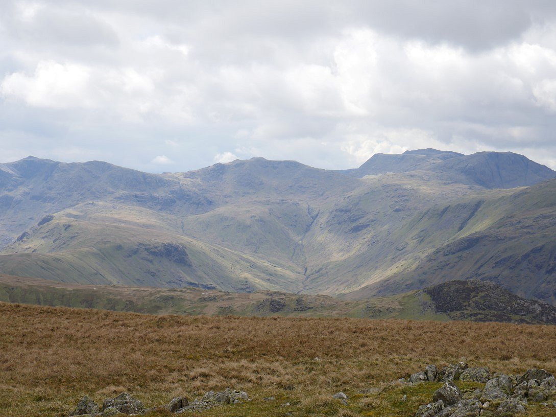
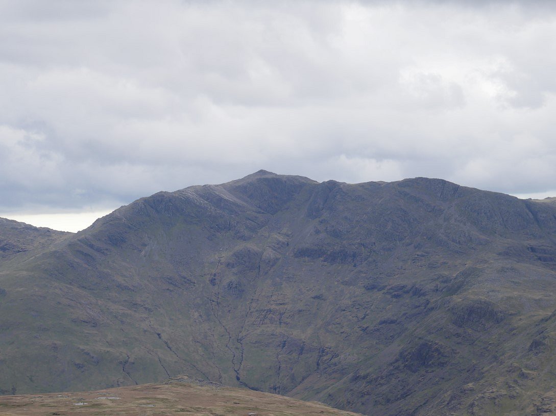
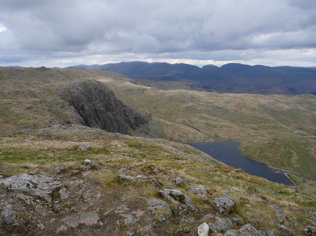
Feeling a bit fatigued after my battle with the bogs and wanting to find a spot to have my lunch out of the chilly wind which had blown in the better weather I missed out the very top of Standing Crag which I regret as it's a superb viewpoint. The High fells are a lot more defined now. Here I'm looking across to the head of Langstrath with Esk Pike above and Great End and Scafell Pike to the right and Bowfell to the left.
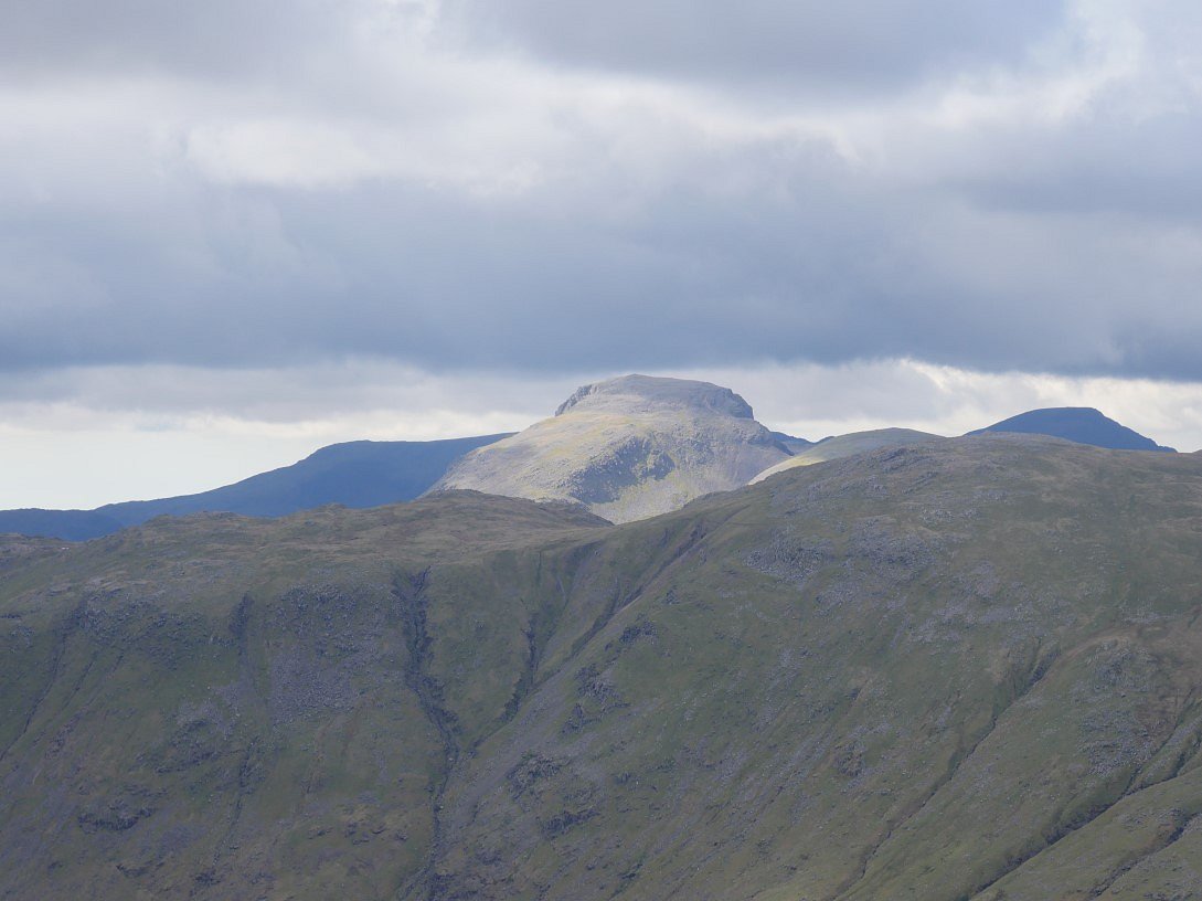
I should say that most of the high fells are lighter, here Great Gable and Pillar are both somehow managing to avoid the sunshine.
Honister Crag and Dale Head are lit up nicely though.

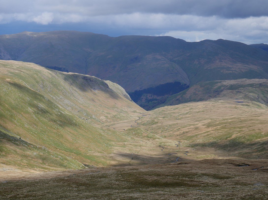
The walk up from Standing Crag to Ullscarf seemed further than I remember but It's a lovely stroll with great views across to Eagle Crag and Langstrath, Skiddaw is now cloud free for the first time today.
A sunlit Wythburn from Greenup Edge.

On to High Raise now and Gable is still avoiding the sun.
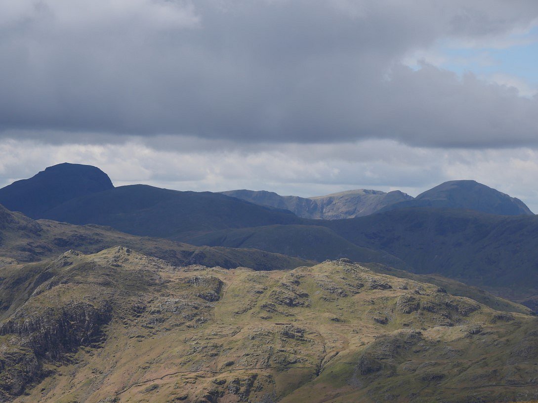
Bowfell is brilliantly seen from High Raise.
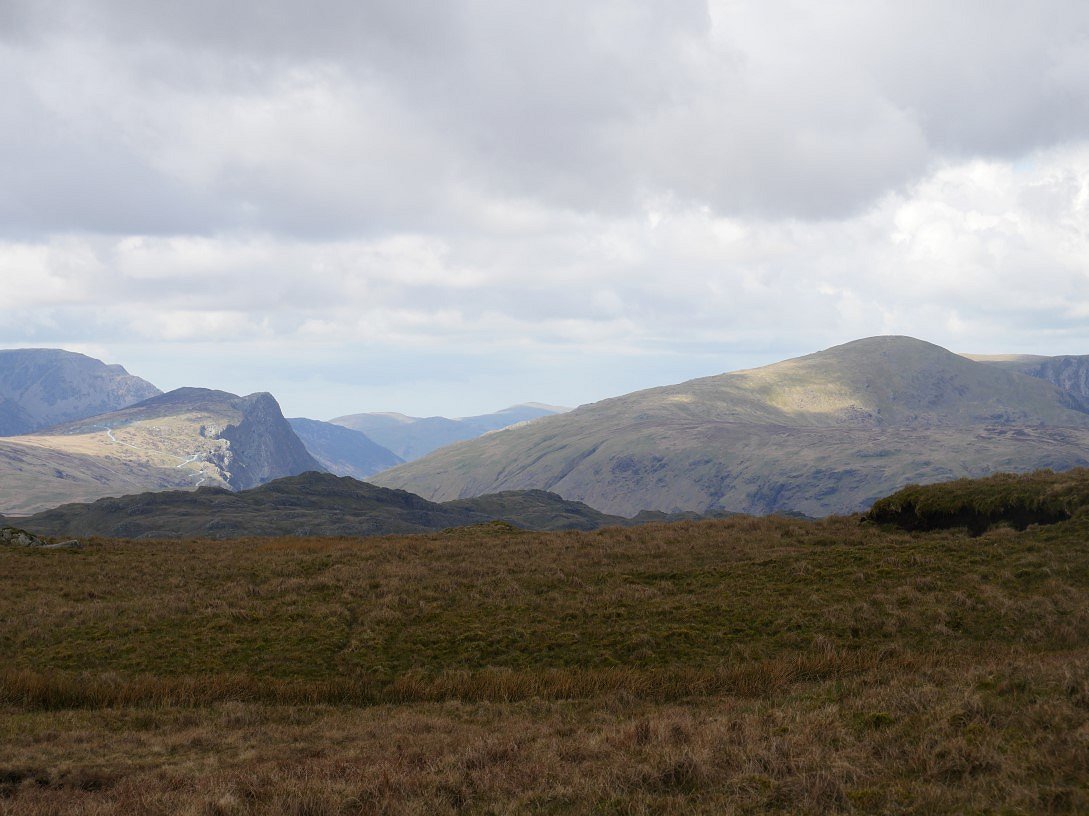
At last Gable has slapped on the factor fifty and come out for a sunbathe.
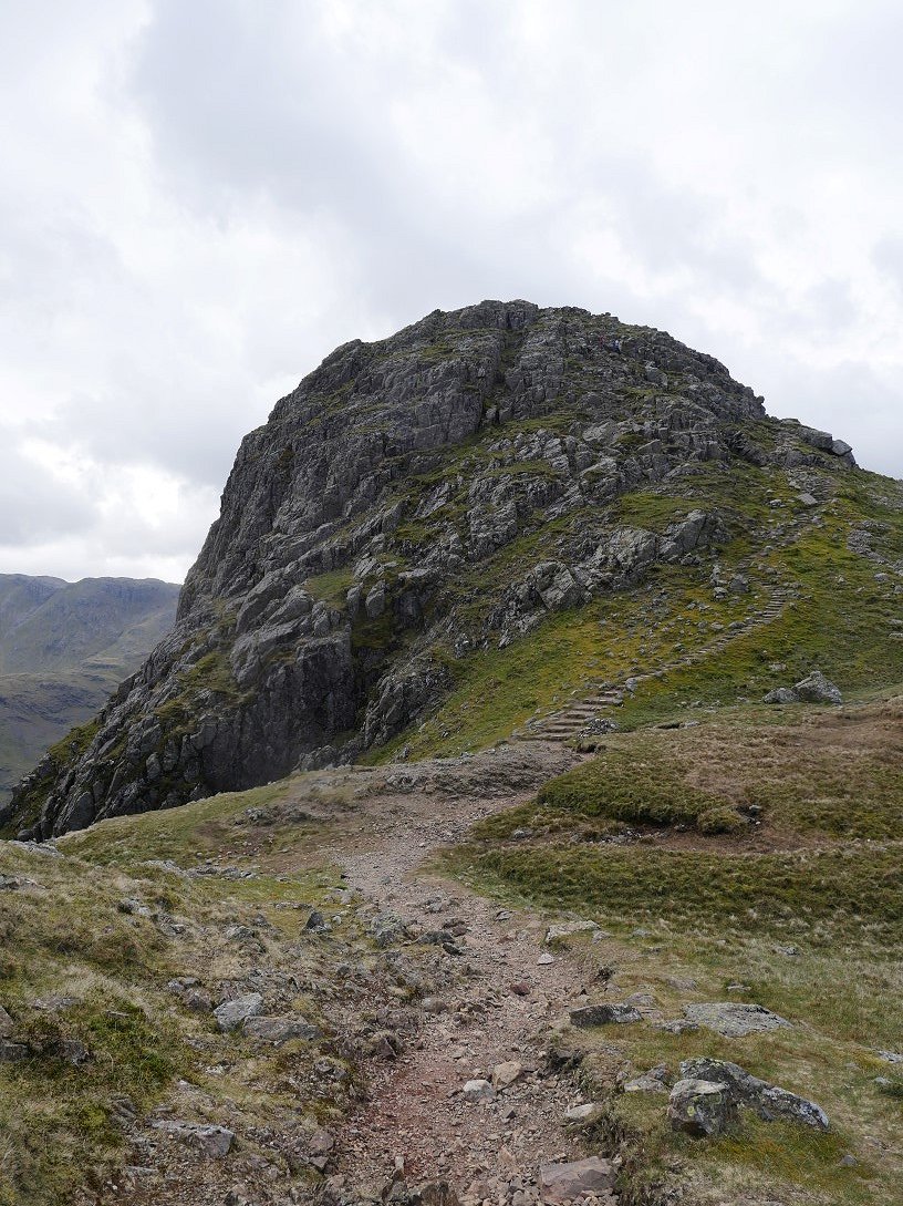
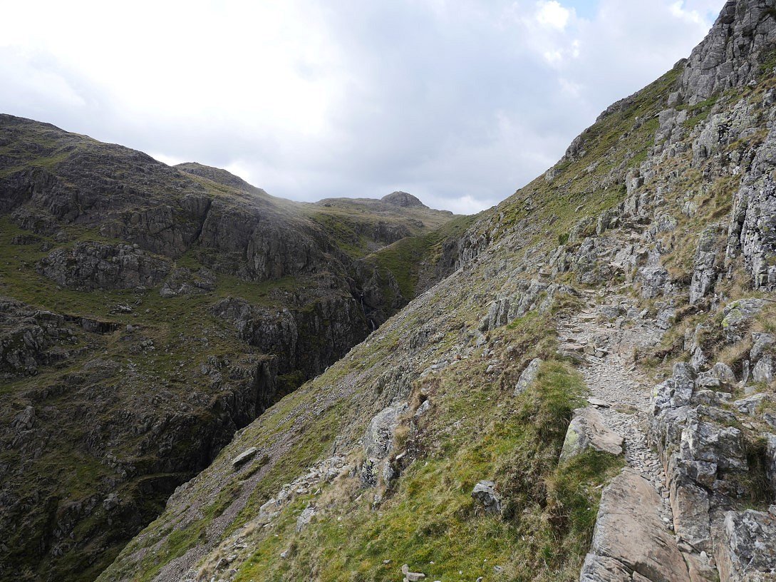
Looking down to Jack's Rake from the climb to Harrison Stickle. I couldn't see anyone on the Rake and the fells ( and the roads ) seemed very quiet,
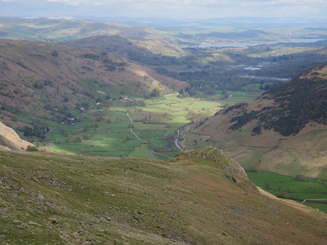
Great Langdale from Harrison Stickle.
Pavey Ark and Stickle Tarn from the same place.
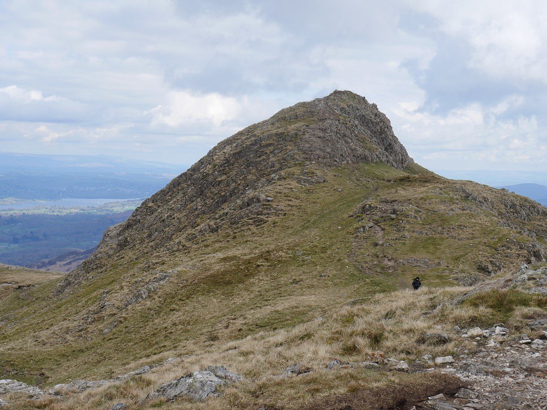
Next stop was probably my favourite little fell Pike 'O Stickle.

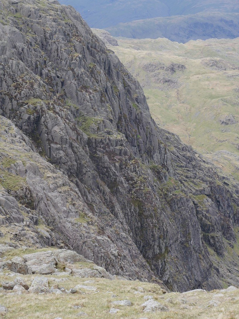
Cant pass the top of the ax factory screes without a photo.

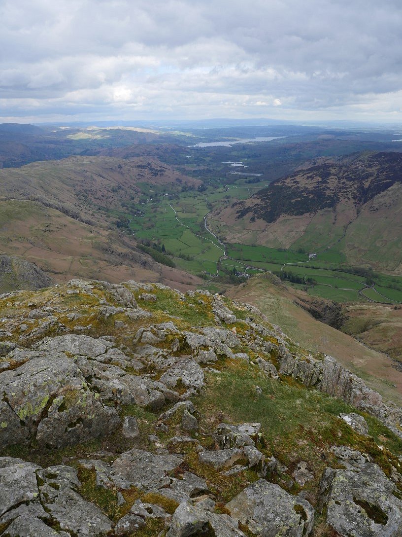
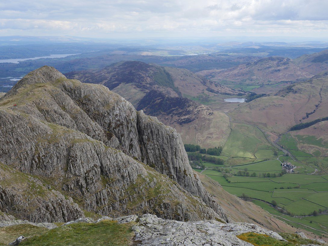
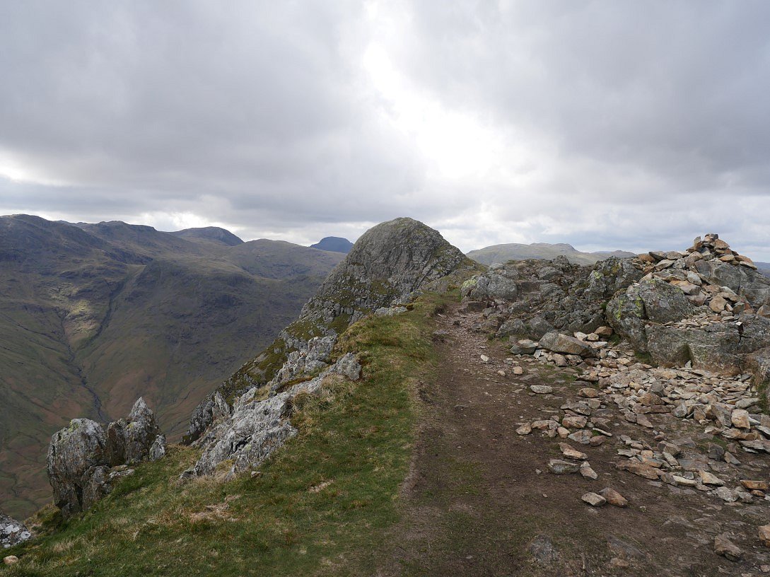
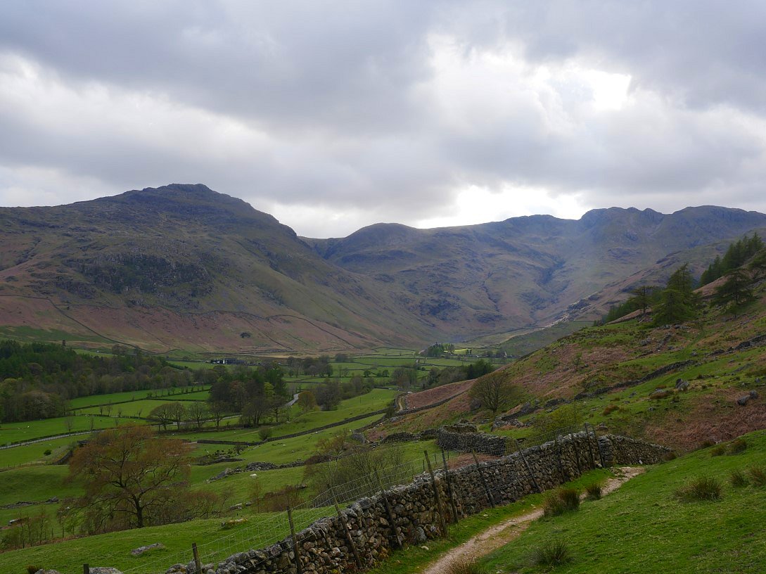
After the lovely little scramble to the top this is the view to the head of Mickleden, Bowfell is above to the left and Rossett Pike to the right.
In the other direction are Loft Crag, above Gimmer Crag and then Lingmoor Fell and the Langdale Blea Tarn.
As often happens the late afternoons are the best part of the day in the Lakes and I'm sat having a rest on a comfortable seat at the summit of Pike 'O Stickle looking back to Harrison Stickle I and really could have sat for hours but I wanted to catch the five PM bus from Langdale and It's just past four now so I reluctantly had to make a move.
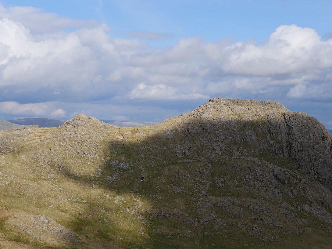
I still had to climb Loft Crag but it's only a few minutes from Pike'O Stickle.
Pike 'O Stickle from Loft Crag. ( Gable has had enough of the sun for today )
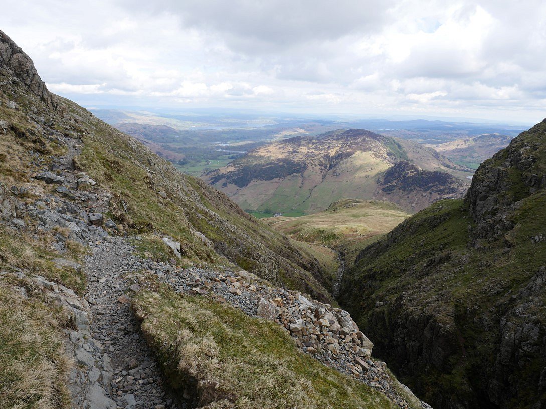
Although I wanted to catch the bus this path above Dungeon Ghyll is definitely not a place to hurry..
Looking back from near the end of the exposed section of path.
It's grass and a stone path now with no danger ( apart from tripping ) so I could make up some time. Pike Howe is the outcrop below
It's quite a quick way down so I was in plenty of time for the bus so had time for one last photo looking along Great Langdale from where my path meets the Cumbria Way. I jumped on the 516 which took me back to my car in Ambleside ( total bus fare £4 )
Previous walk - Barrow to Catbells - Next walk - A Dunnerdale wander