WWW.KARLSWALKS.CO.UK
PICTURES AND TRIP REPORTS FROM MY WALKS IN THE ENGLISH LAKE DISTRICT
|
|
|
|
||||
|
|
|
|
|
|
|
|
E-mail - karl@karlswalks.co.uk |
A walk this week we've done ( or variations of ) a few times before. It's one we like as navigation is straightforward , and apart from the descent into Kentmere the paths are easy on the feet. There are undoubtedly lots more exciting walks than this but sometimes it's nice just to amble along chatting, putting the world to rights or just strolling in companionable silence. And at ten miles you do feel that it's a worthwhile outing.

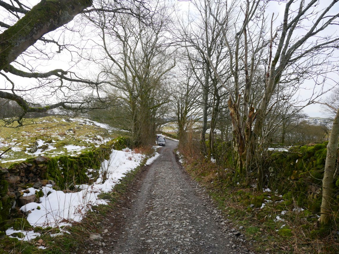
The weather again was a bit dull to start with but we did have occasional spots of sunshine and blue sky, and it was very mild and never threatened to rain. This is looking back to the car parking spaces at the foot of Dubbs road.
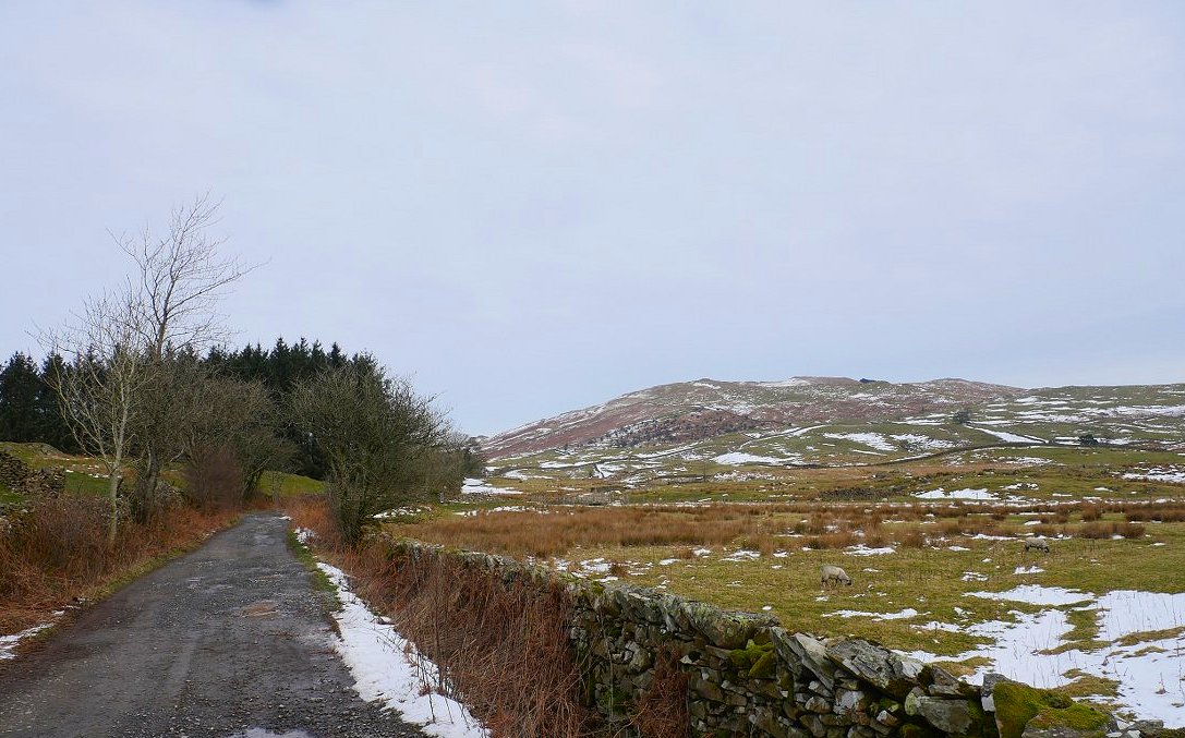
And looking along the road Sour Howes is above on the right.
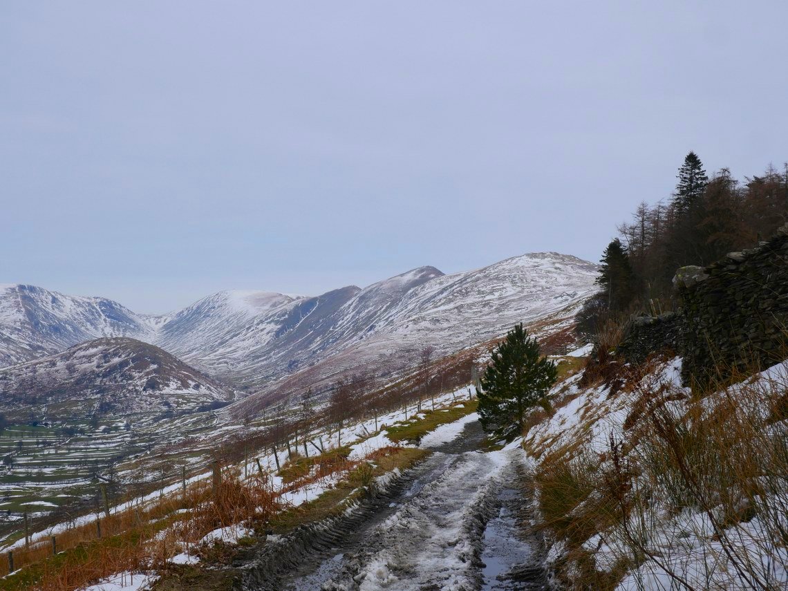
Further along the view opens up to Troutbeck Tongue with Caudale Moor on the left and the Ill Bell ridge and Thrornthwaite Crag on the right split by the pass of Thresthwaite Mouth.
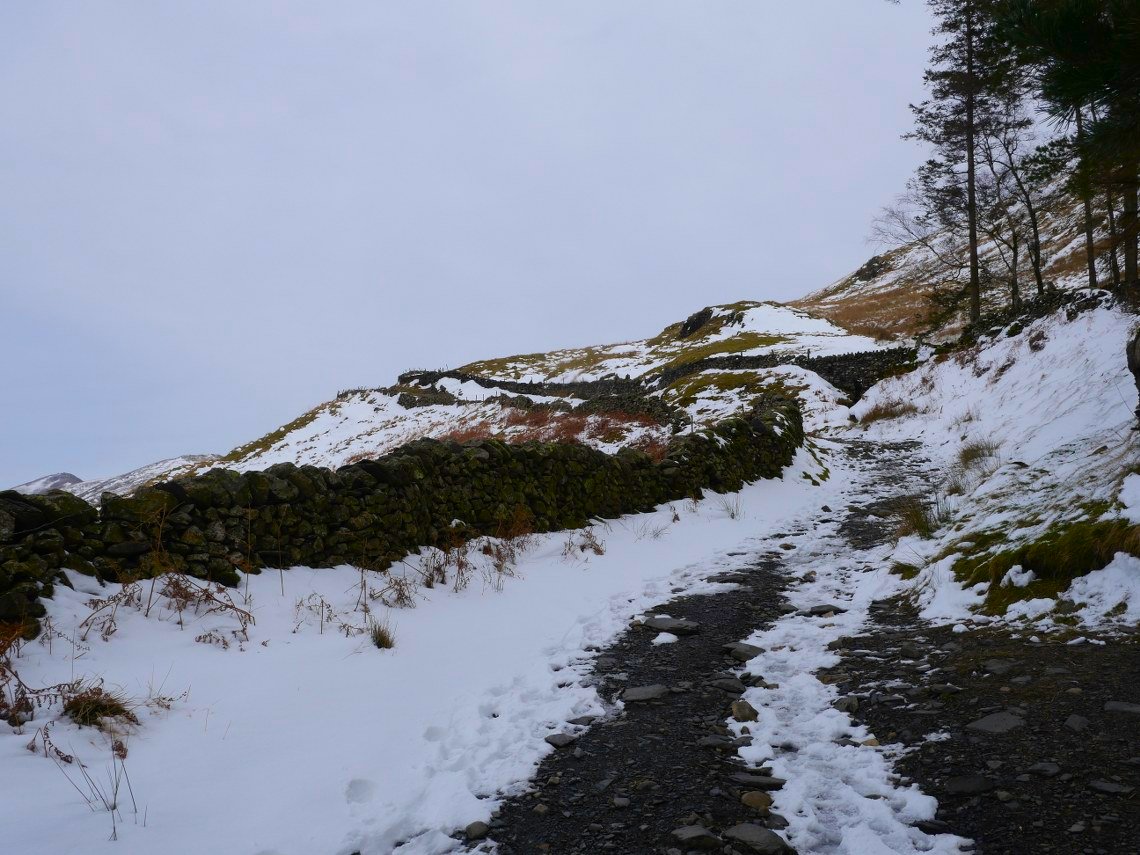
Nearing the top of the pass and this is the steepest part of the walk.
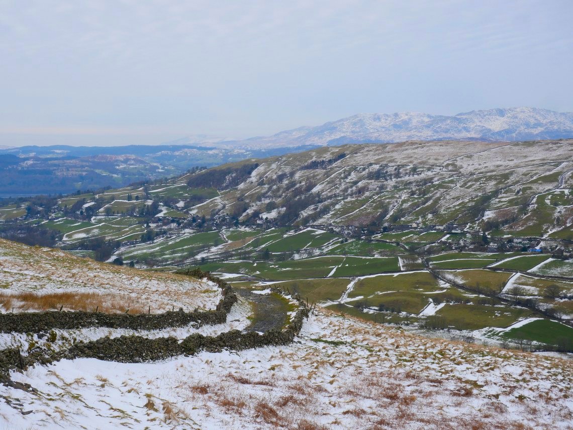
The Coniston Fells in the distance seen over the fields of Troutbeck and the lower slopes of Wansfell.
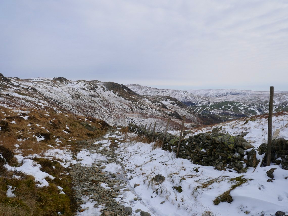
Descending now and there was quite a bit more ice on this side of the pass.
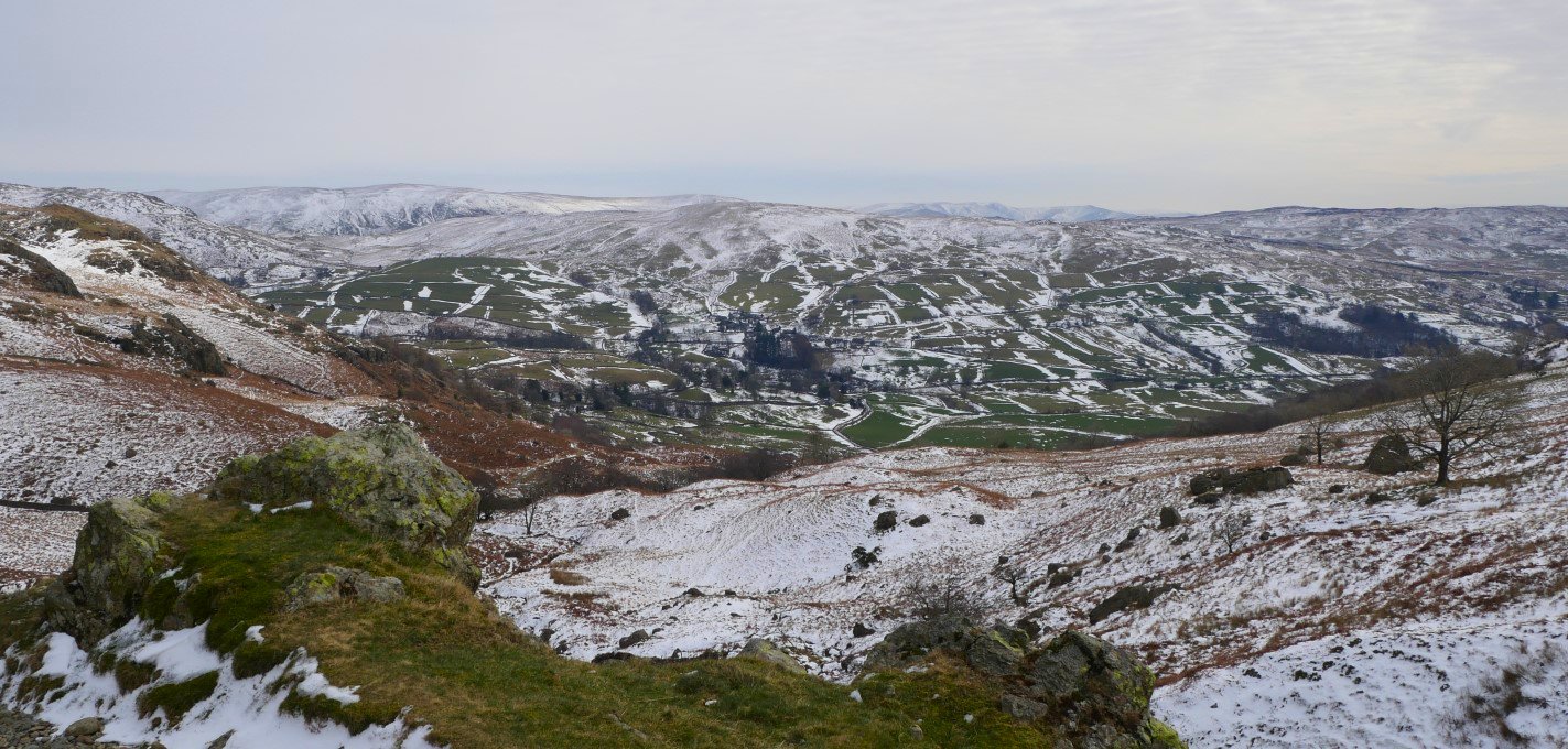
Wide view of Kentmere.
.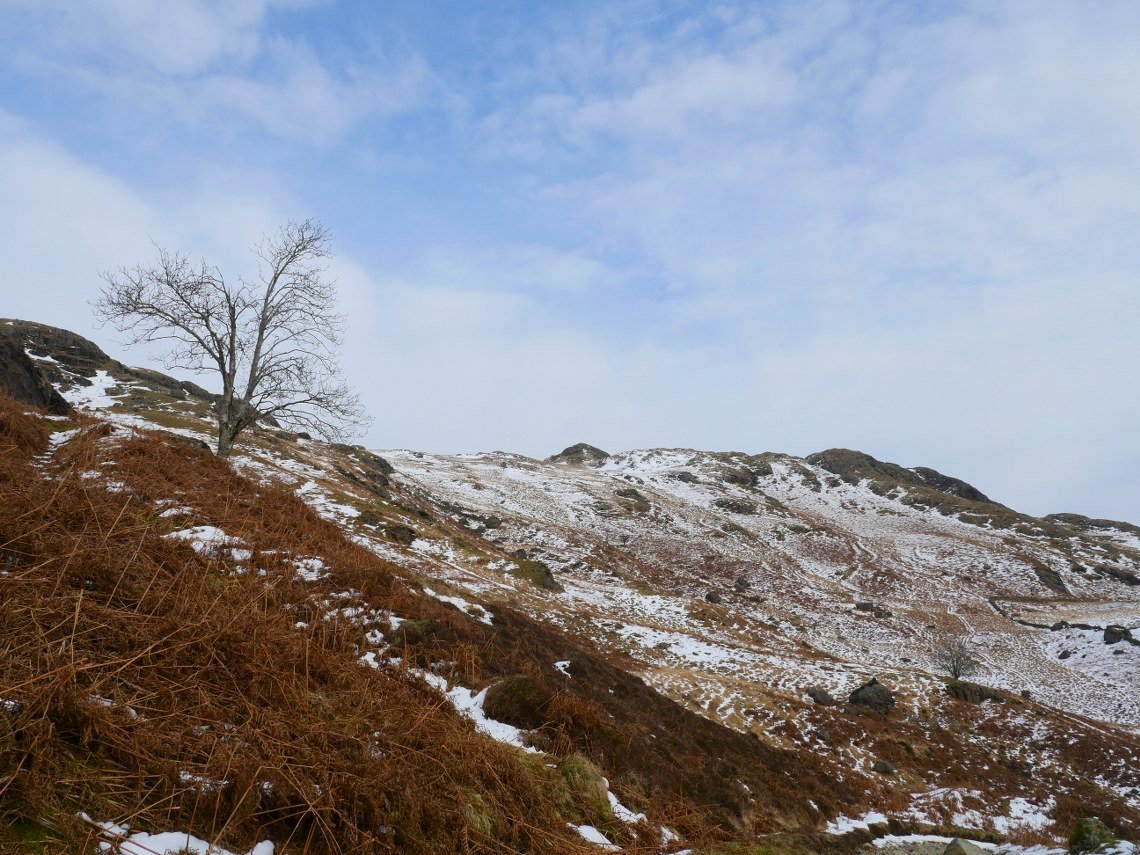
Blue sky !
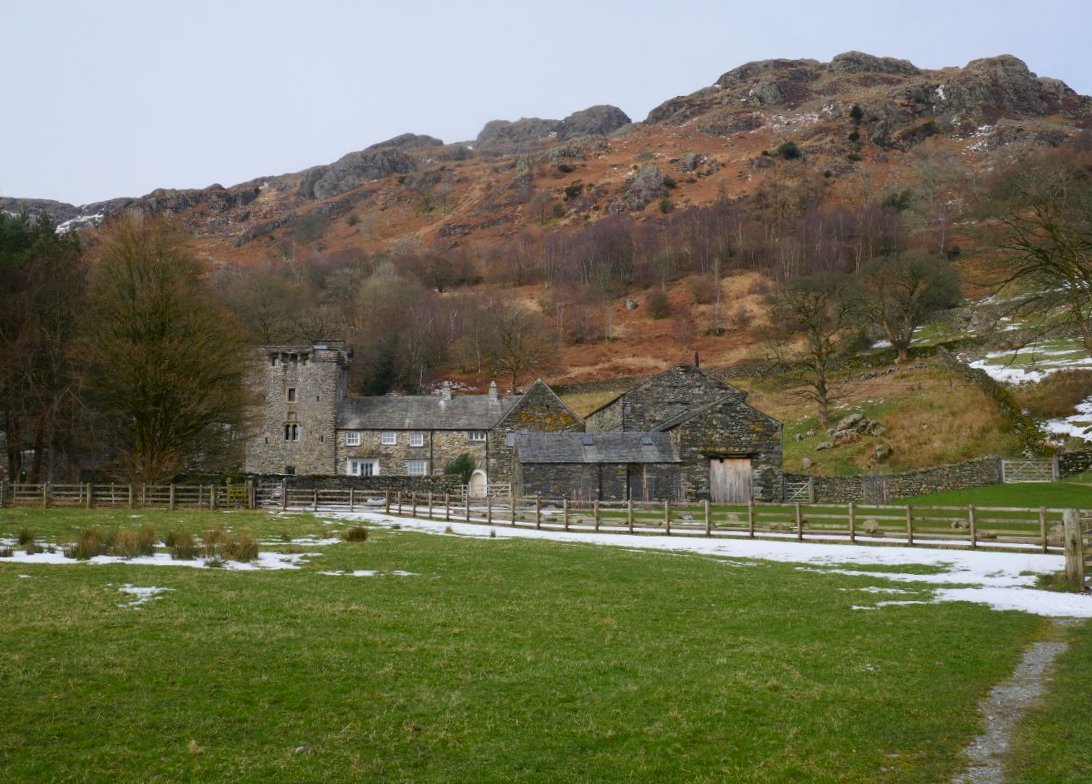
Leaving Kentmere Hall. There are two paths both heading the way we wanted to go. One climbs higher and one takes a lower route above Kentmere Tarn. Sue had not walked this one before so lower path it was.
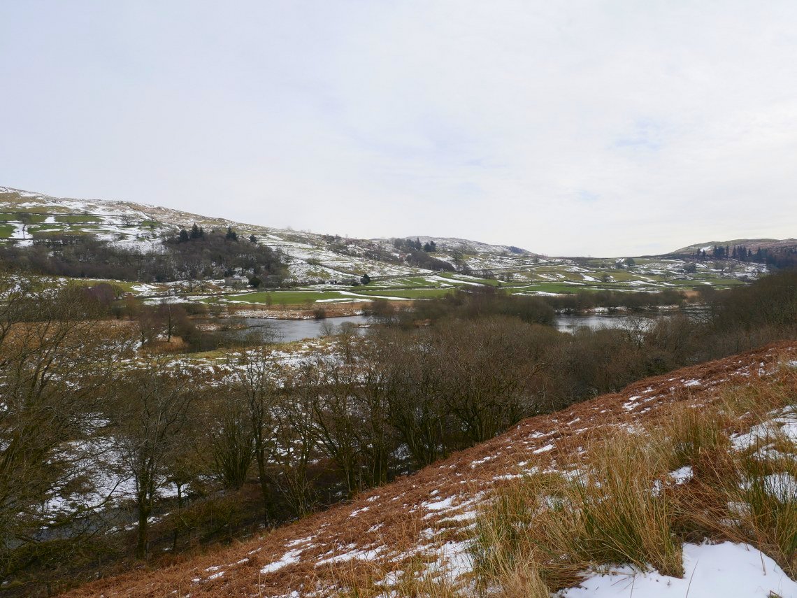
Kentmere Tarn was a a bit more visible today, in the summer it is shielded by the trees.
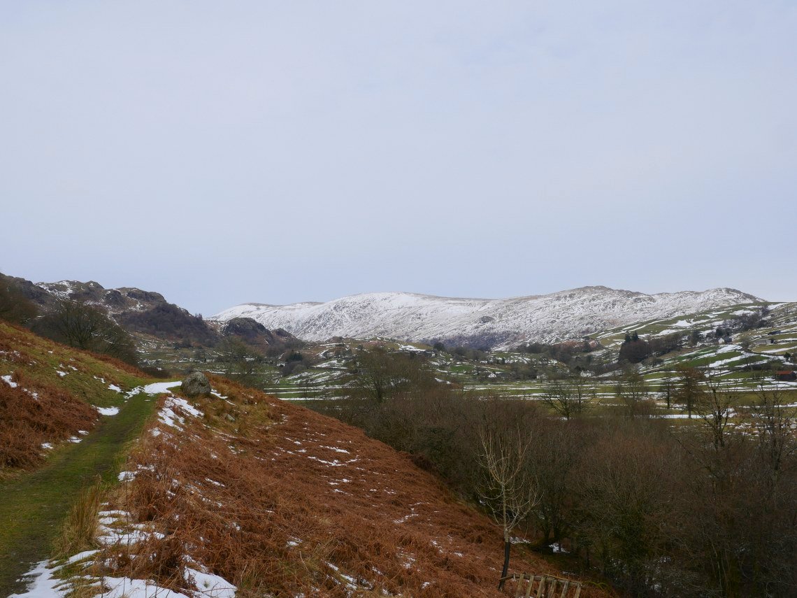
This section of the lower path is springy grass and is really lovely underfoot The eastern arm of the Kentmere horseshoe are the hills in view.
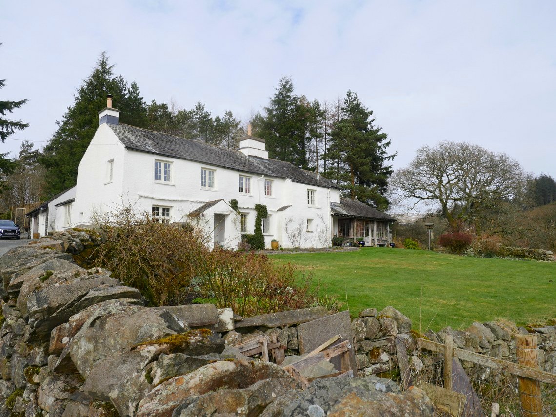
Passing the lovely house at Croft Head.
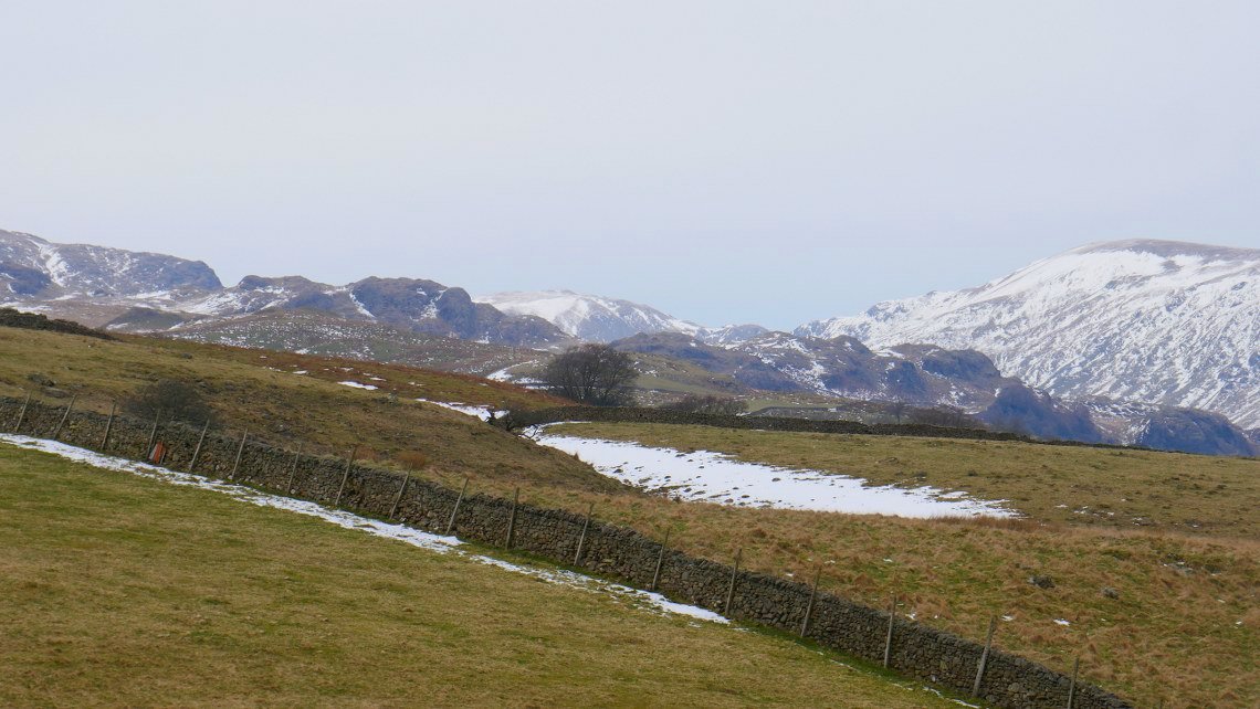
We had a rest at the top of the hill up from Browfoot and are sat looking over to Harter Fell on the right and Mardale Ill Bell on the left with Nan Beild Pass in-between.
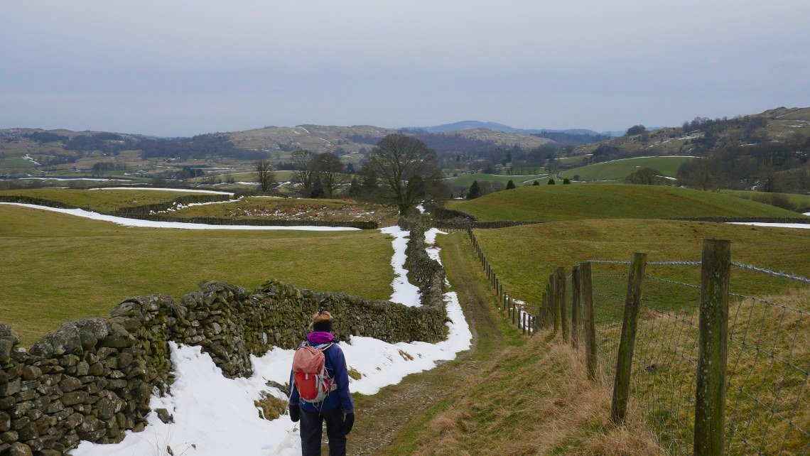
More easy going on the paths heading for High Borrans.
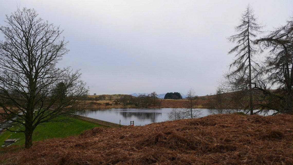
High Borrans reservoir.
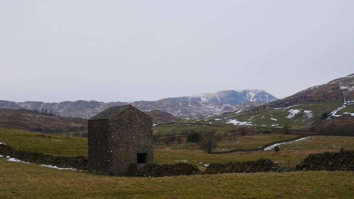
The old barn in the field by the High Borrans road with Red Screes in the distance.
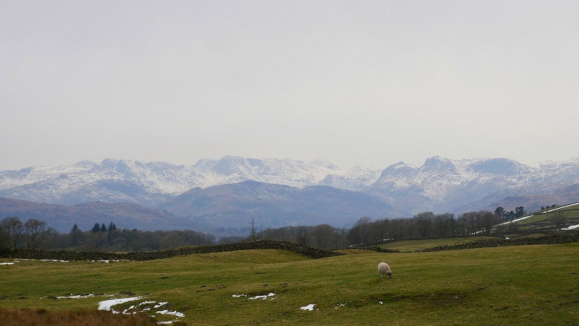
There are a couple of hundred yards to walk on the road back to Moor Howe but you do have a lovely view of Esk Pike, Bowfell and the Langdale Pikes to look at as you walk along.
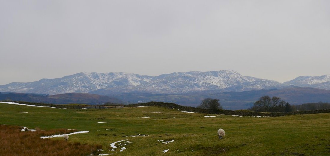
And not forgetting the Coniston fells as well.

A map of our walk
Previous walk - Mellbreak and Holme Fell - Next walk - A round from Mungrisedale