WWW.KARLSWALKS.CO.UK
PICTURES AND TRIP REPORTS FROM MY WALKS IN THE ENGLISH LAKE DISTRICT
|
|
|
|
A good weather forecast for the Bank holiday, well why not ? 2020 has been a pretty unusual year so I guess it should be expected.
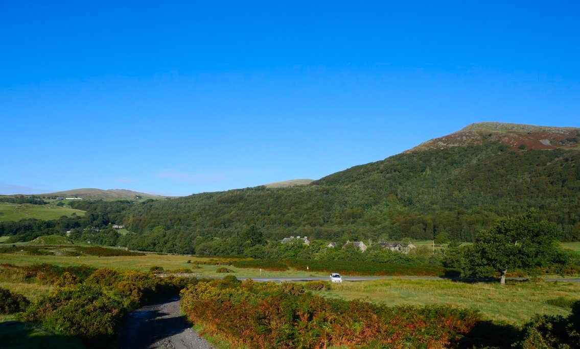
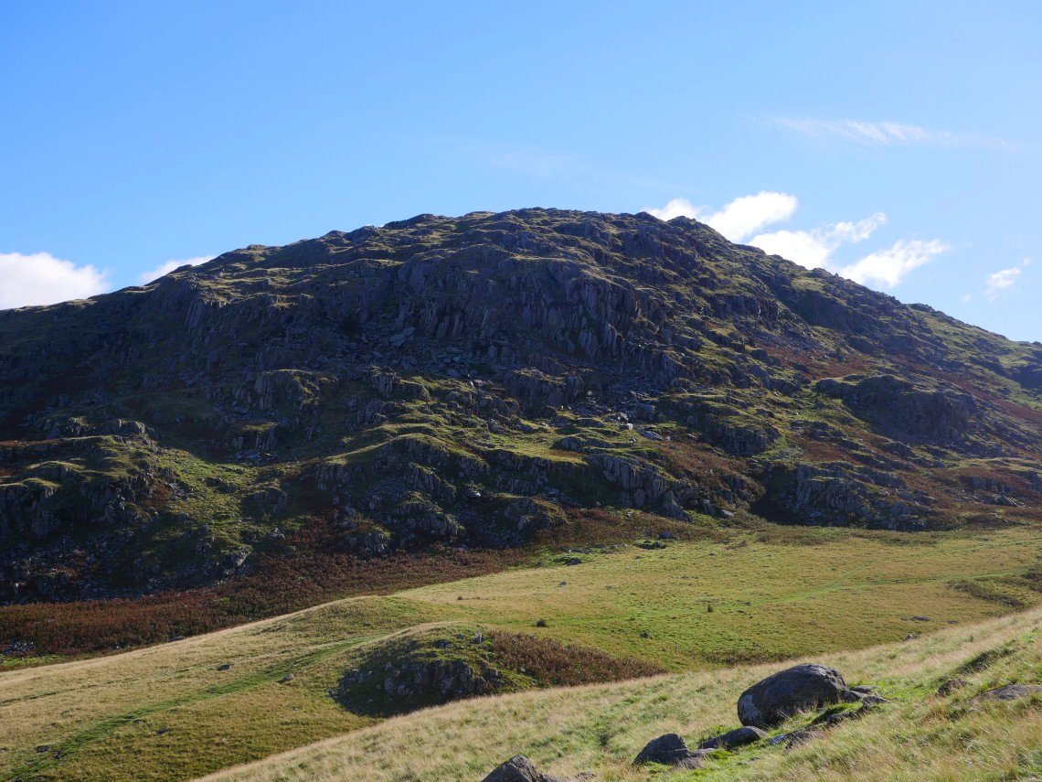
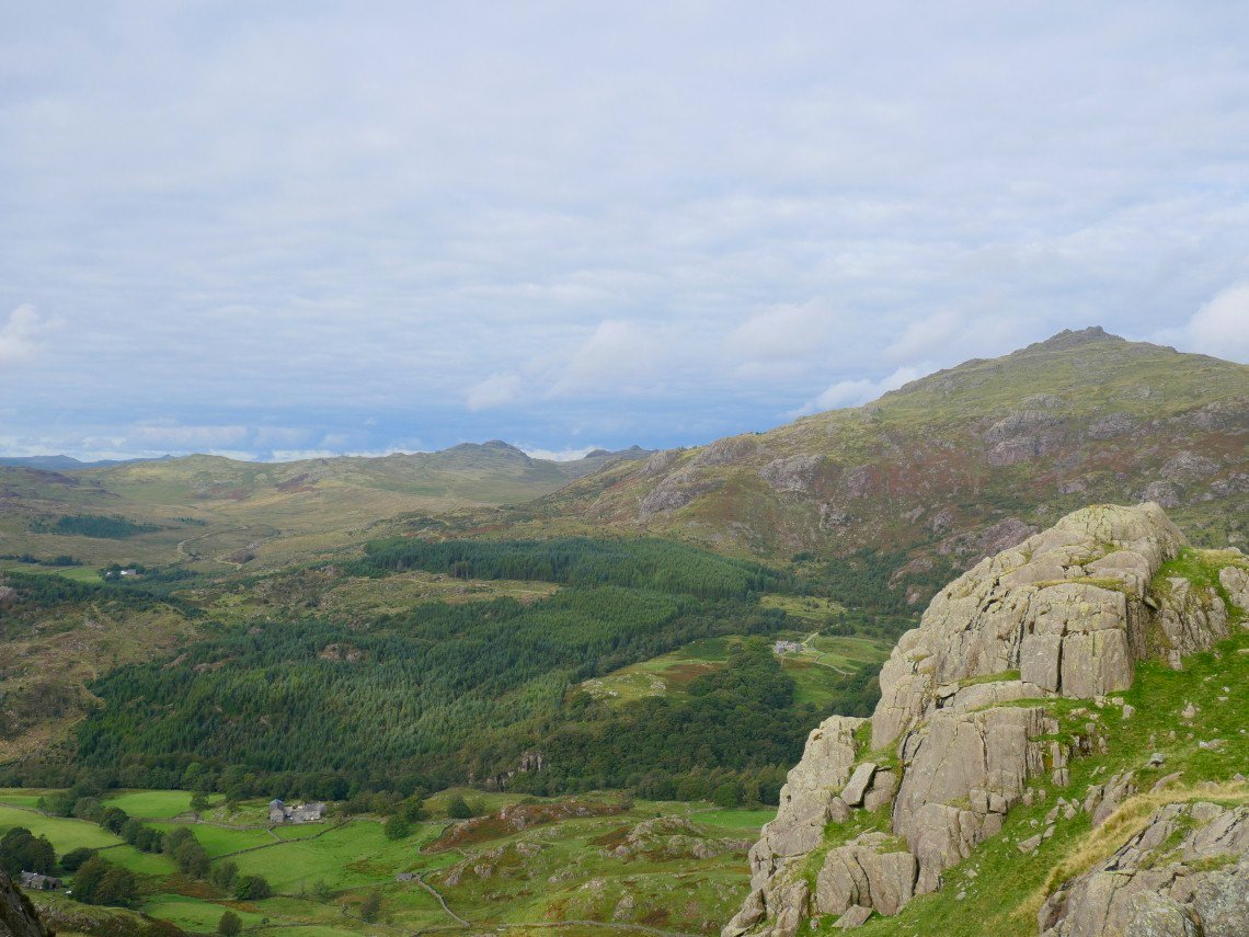
And it was lovely as I parked on the spare ground near Ulpha School. The Pike is the hill in the background.
There was a slight Autumnal nip in the air which meant the views were clear and far reaching. My target for today is Grey Friar the rounded hill on the right.
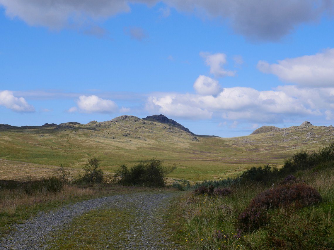
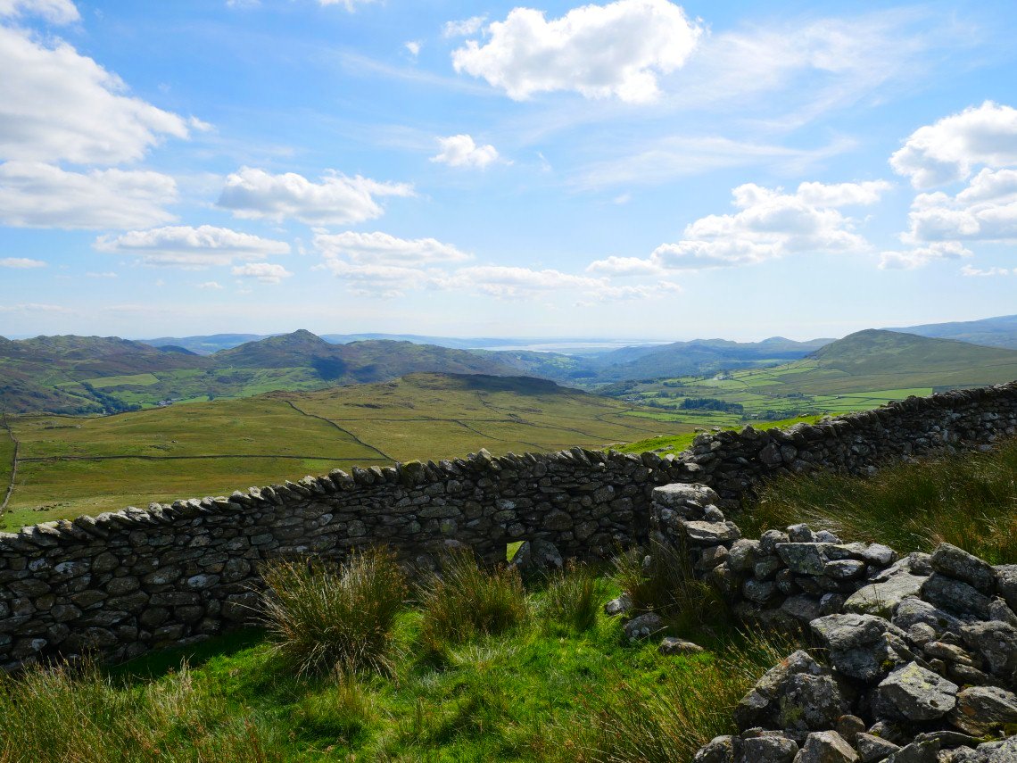
Looking back along Park Head Rd to Stickle Pike.
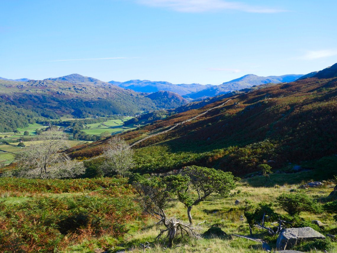
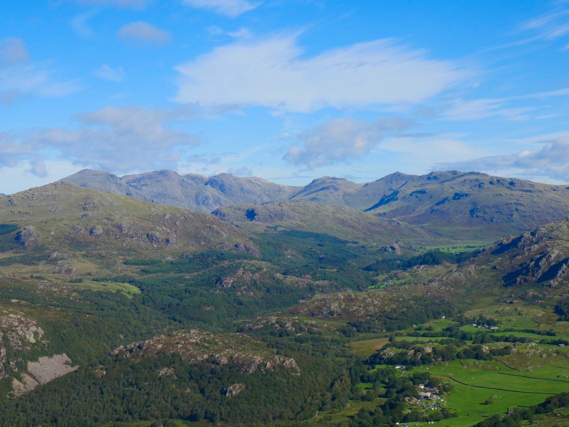
The view across Dunnerdale with Harter Fell to the left, then Esk Pike and then the familiar mountain shape of Bowfell.
Caw maybe only 529 meters or just over 1700 ft in old money but from this side it's a real challenge and although there is a faint path I don't think I've ever climbed it the same way twice.
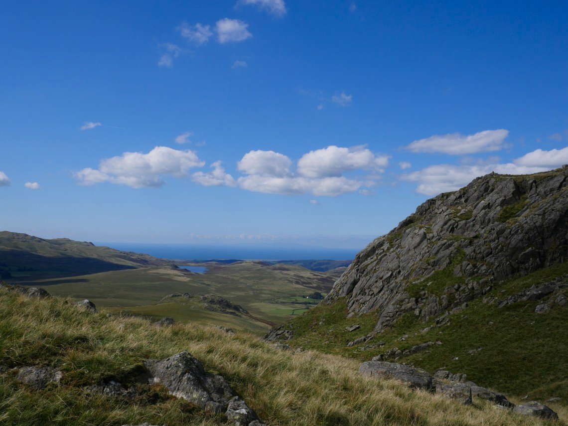
It's very hot work and I'm soon glowing nicely but the view from the top to England's highest ground is well worth the effort.
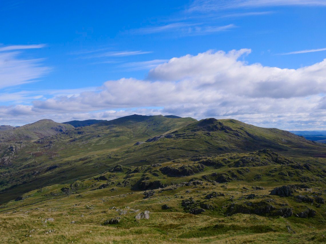
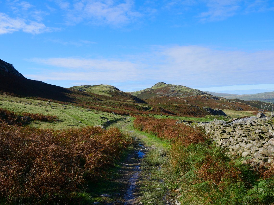
From Caw my onward route is laid out before me. Down over the small bump of Pikes and the up the slightly higher bump of White Pike then on to the even higher bump of Dow Crag which is in Shadow and then follow the skyline to Grey Friar on the left.
.
Heading down from Pikes towards White Pike. I crossed the very wet Caw Moss to climb up by the wall running up between White Pike and White Maiden over Lord's High Allotment..
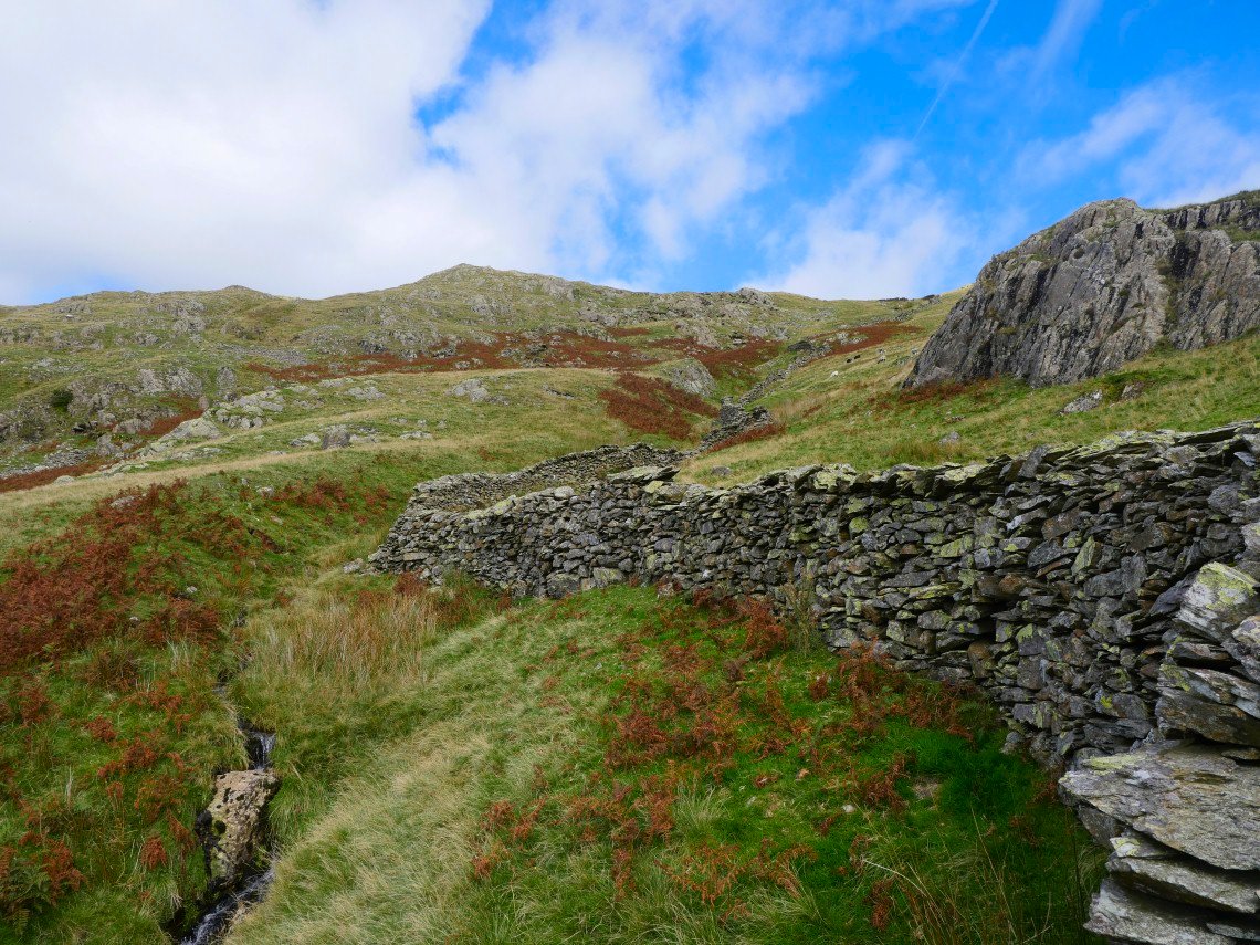
Following the wall up.
And a look down to Caw Moss.
I had my sandwiches perched on the edge of White Pike looking over to Pikes and Caw.
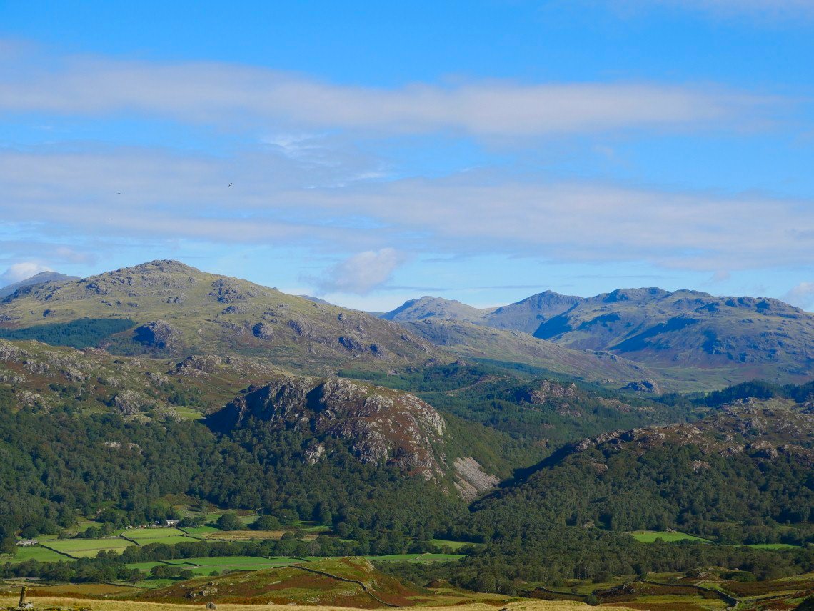
From White Pike it's only a few minute walk to White Maiden from where I can see the path up to Brown Pike and the ridge to Dow Crag.
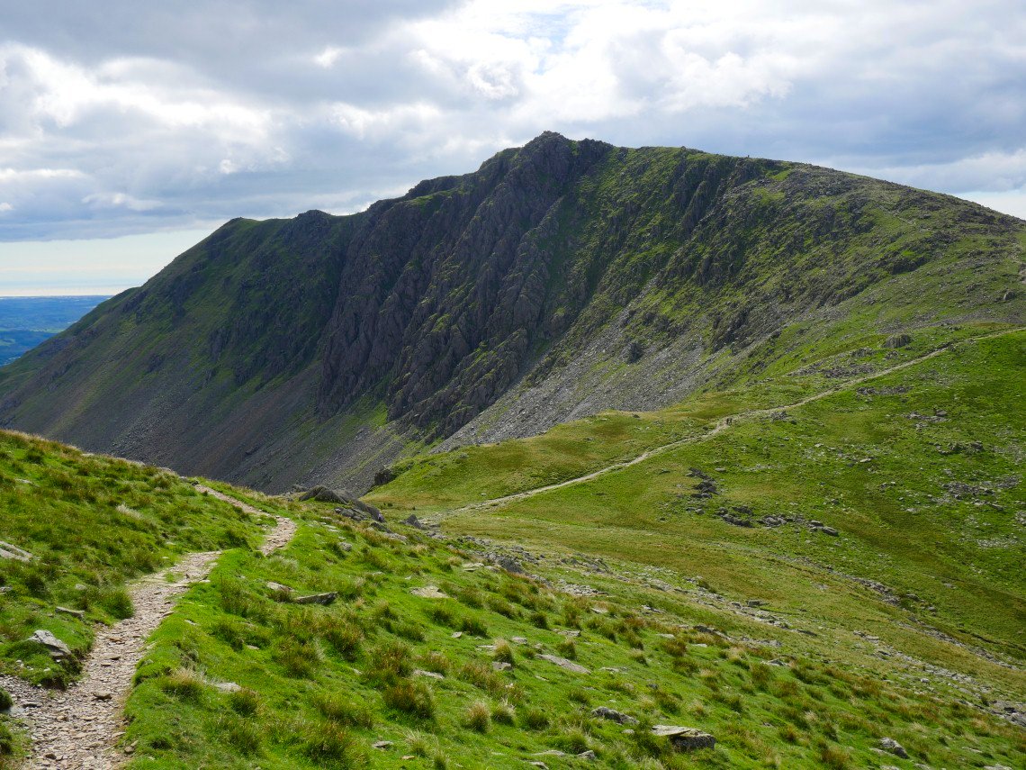
Dow Crag from the shortcut path between Goat's Hawse and Levers Hawse.
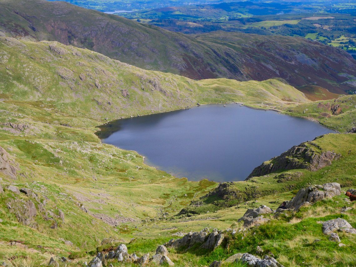
Levers Water from Levers Hawse.
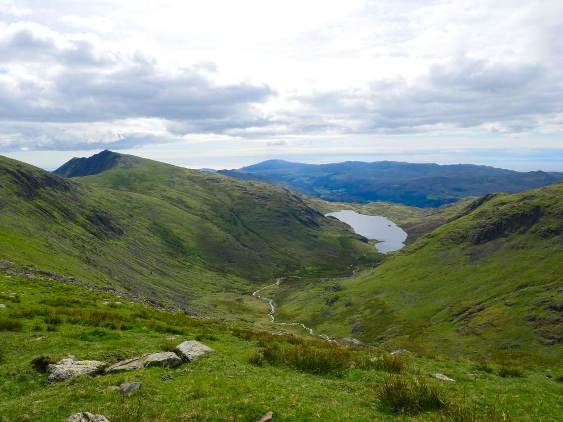
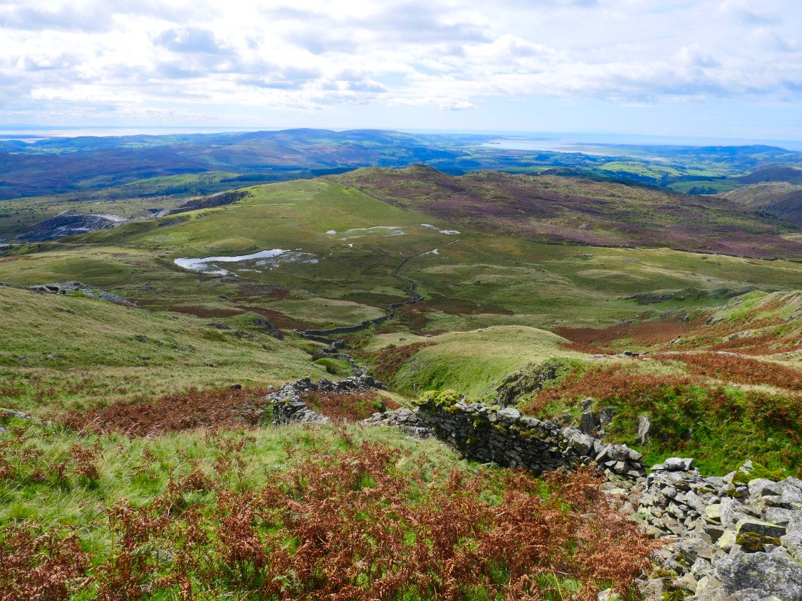
I was originally going to follow the path up to Swirl How and Great Carrs but the climbs so far had me flagging a little here so I took the lower path around to the base of Grey Friar, passing above Seathwaite Tarn on the way.
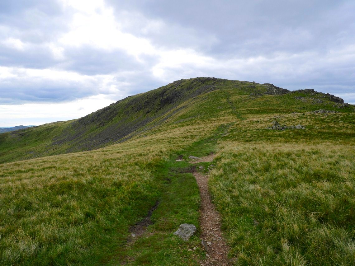
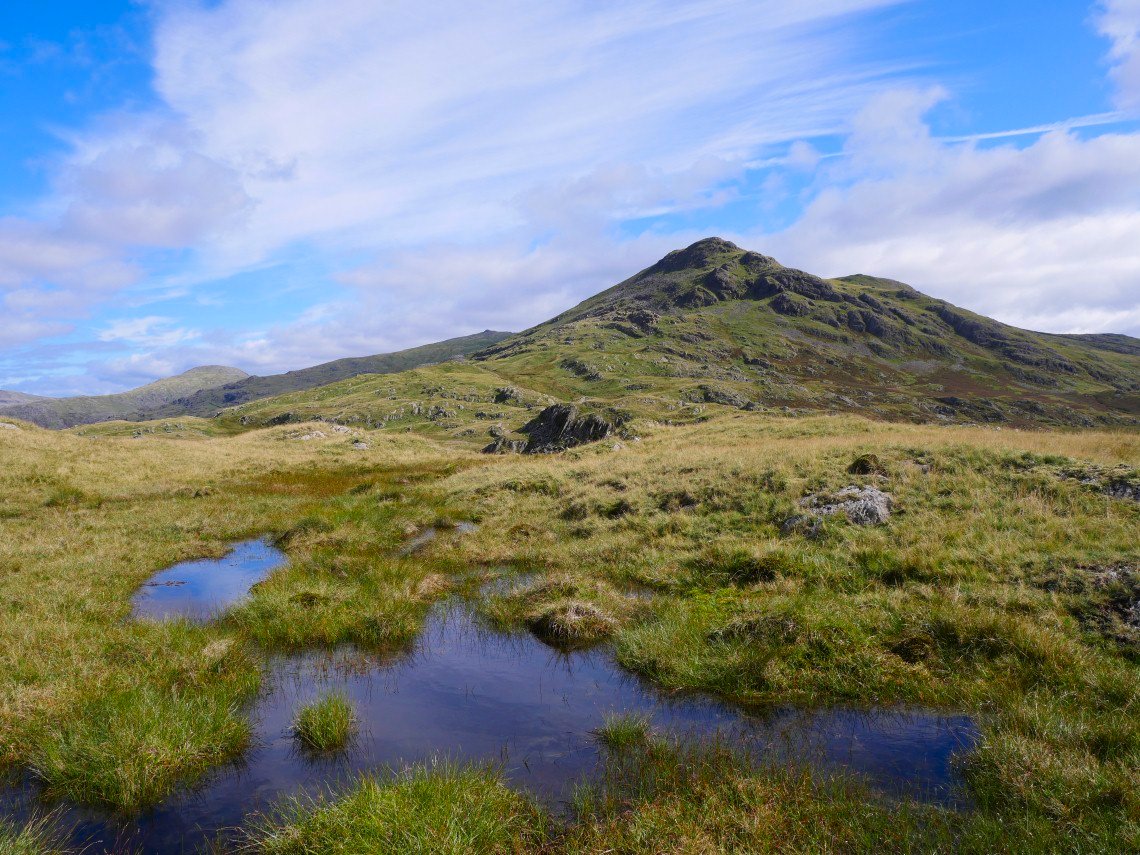
Just Grey Friar to climb now.
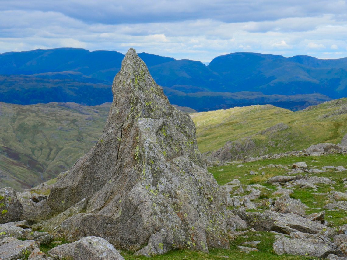
Obligatory pic of the Matterhorn rock with Helvellyn and Fairfield beyond.
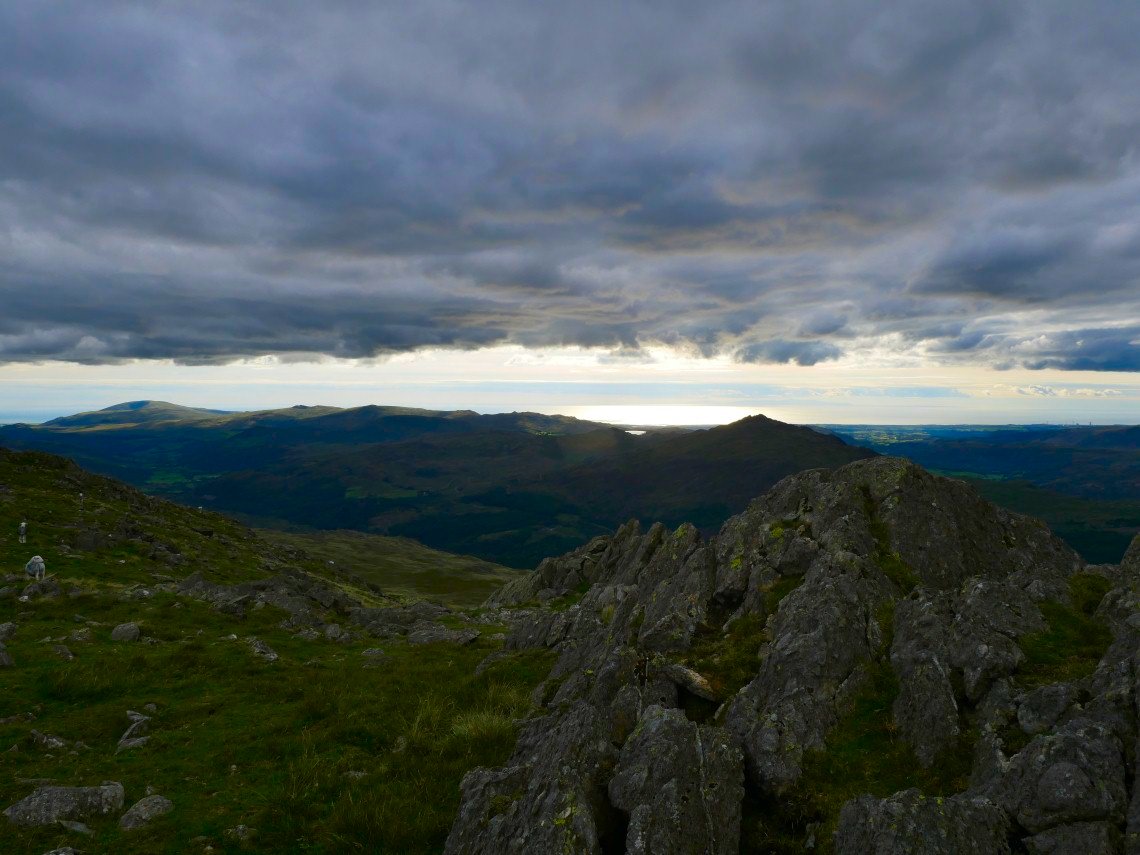
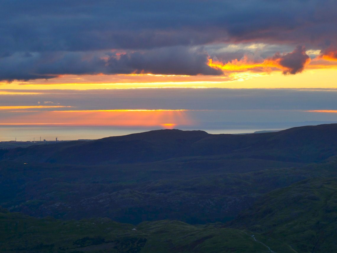
Later in the evening some interesting clouds formed over the Irish Sea.
Which were lit by the setting sun.
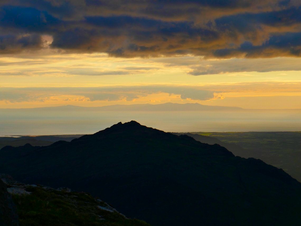
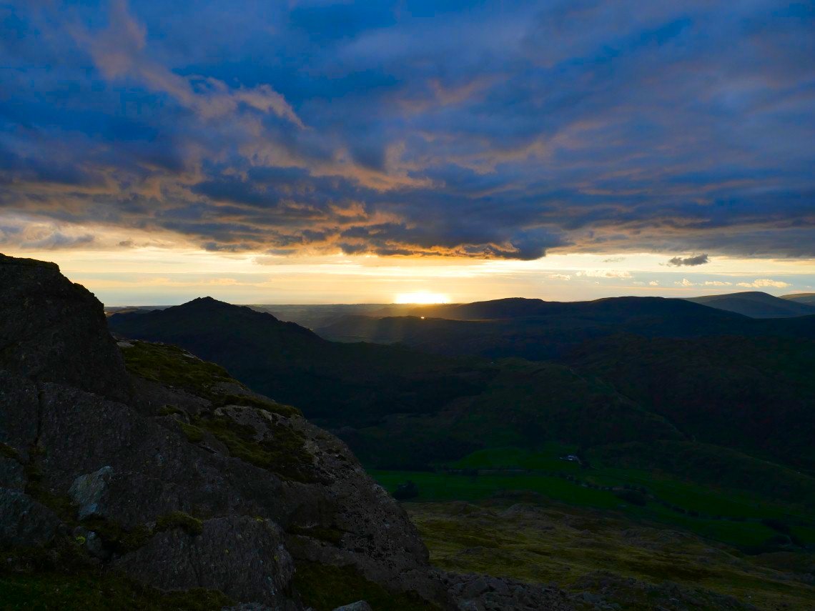
Harter Fell in shadow and the Isle of Man.
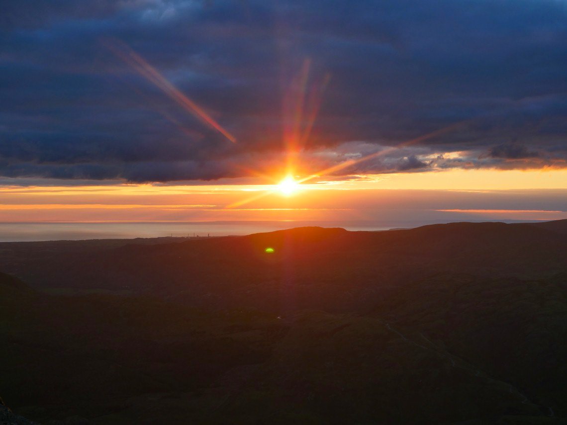
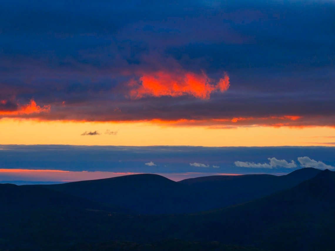
Just when I thought I wasn't going to see the sun it burst from the clouds for a couple of minutes.
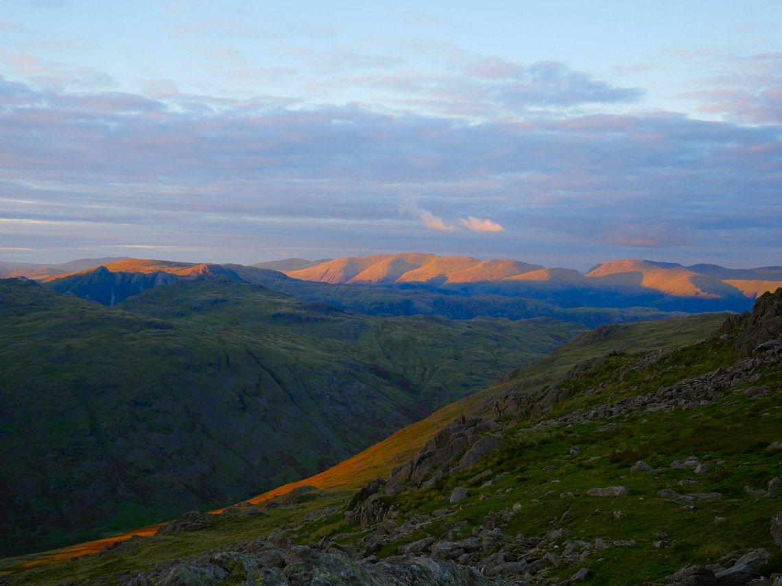
Lighting up the Helvellyn fells.
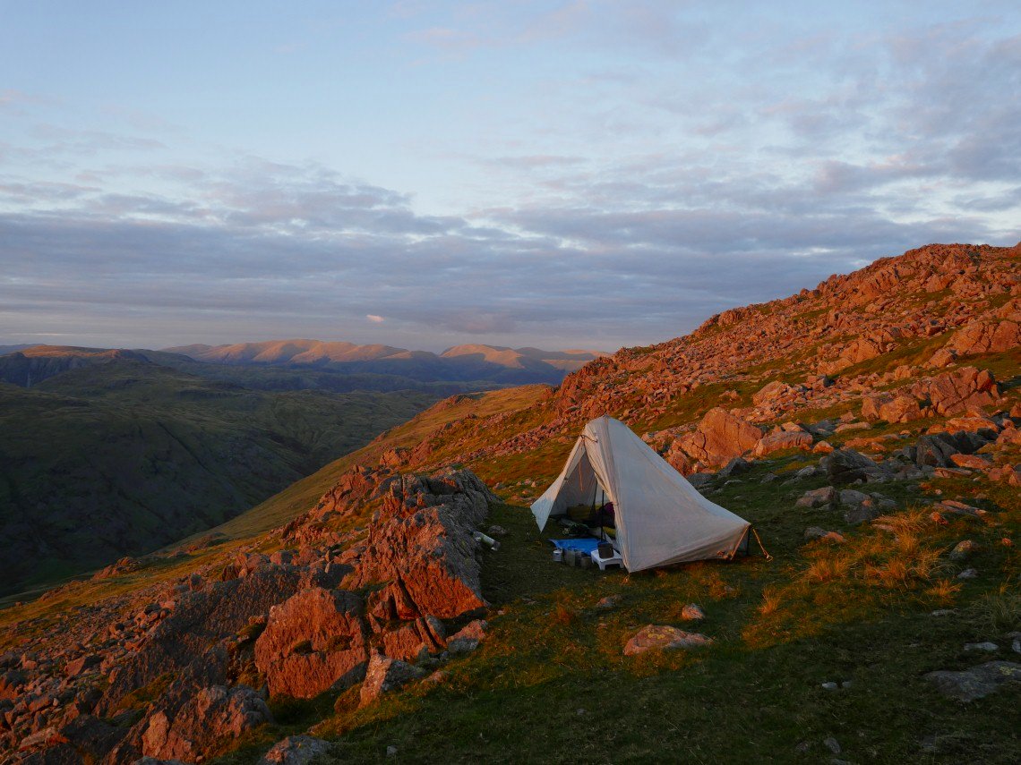
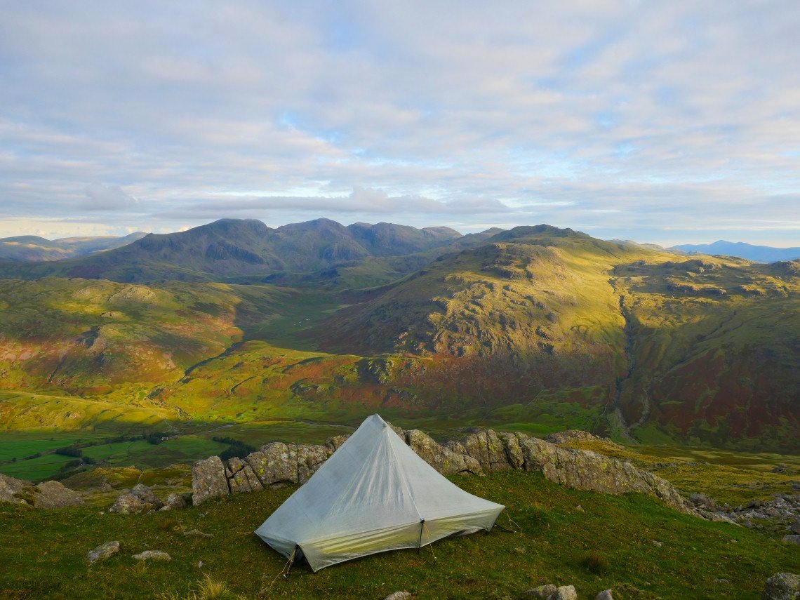
And my tent.
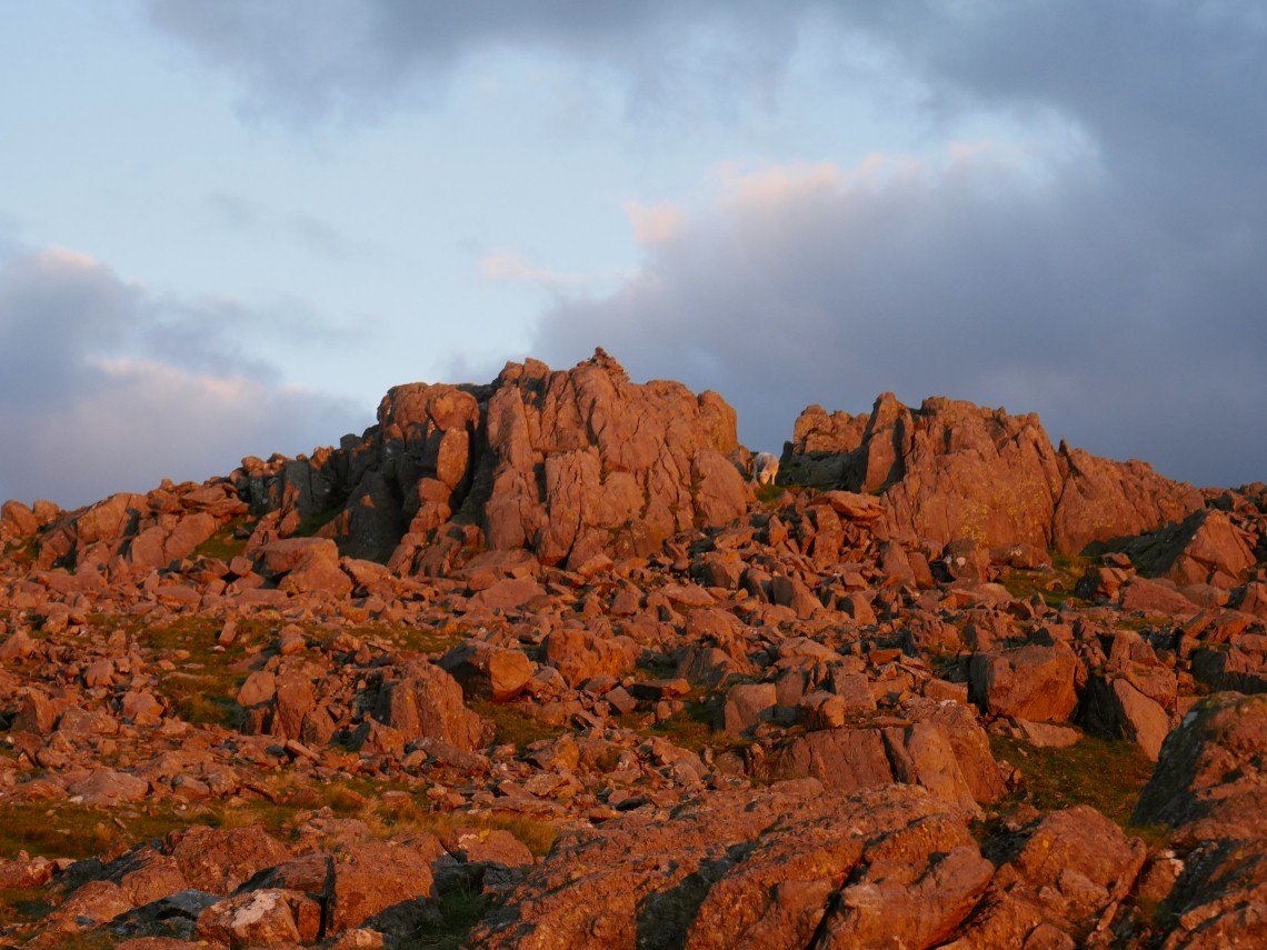
And the summit rocks of Grey Friar.
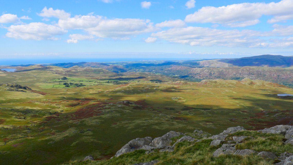
The cloud is covering the sun now but the sky is still lovely over Ponsonby Fell.
And Seatallen and Haycock.
A cold night with even the possibility of frost was forecast but I didn't think it got that cold but the morning was lovely and fresh.
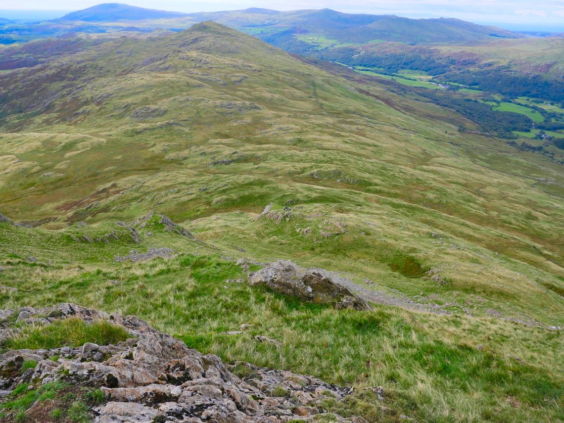
Rather than following the path down to Seathwaite Tarn I carried on over Troutal Fell and had an interesting (and exciting ) descent to the road over Little Blake Rigg.
Just about to start the interesting bit. My aim today was to bag Green Crag seen here to the left of Harter Fell.
After crossing the river at Troutal Farm and climbing up to Birks I followed the forest road to it's conclusion and started on the very wet crossing to Green Crag.
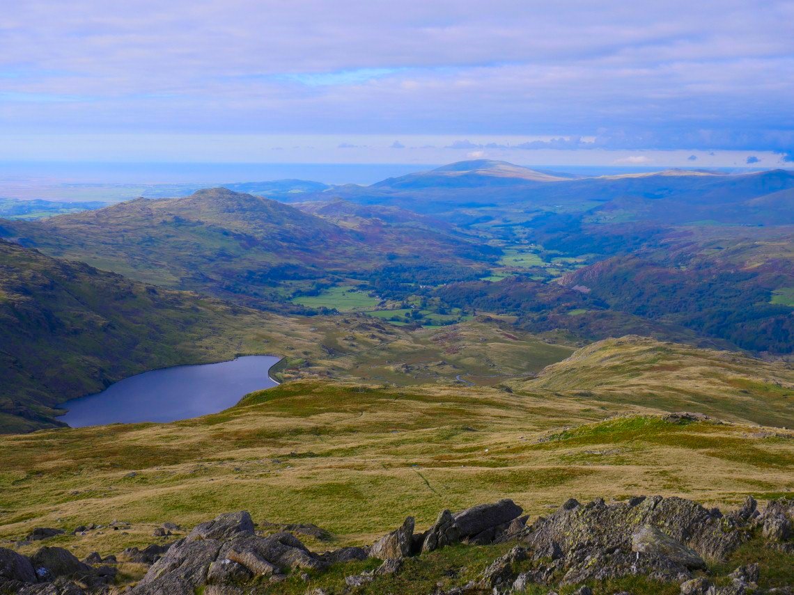
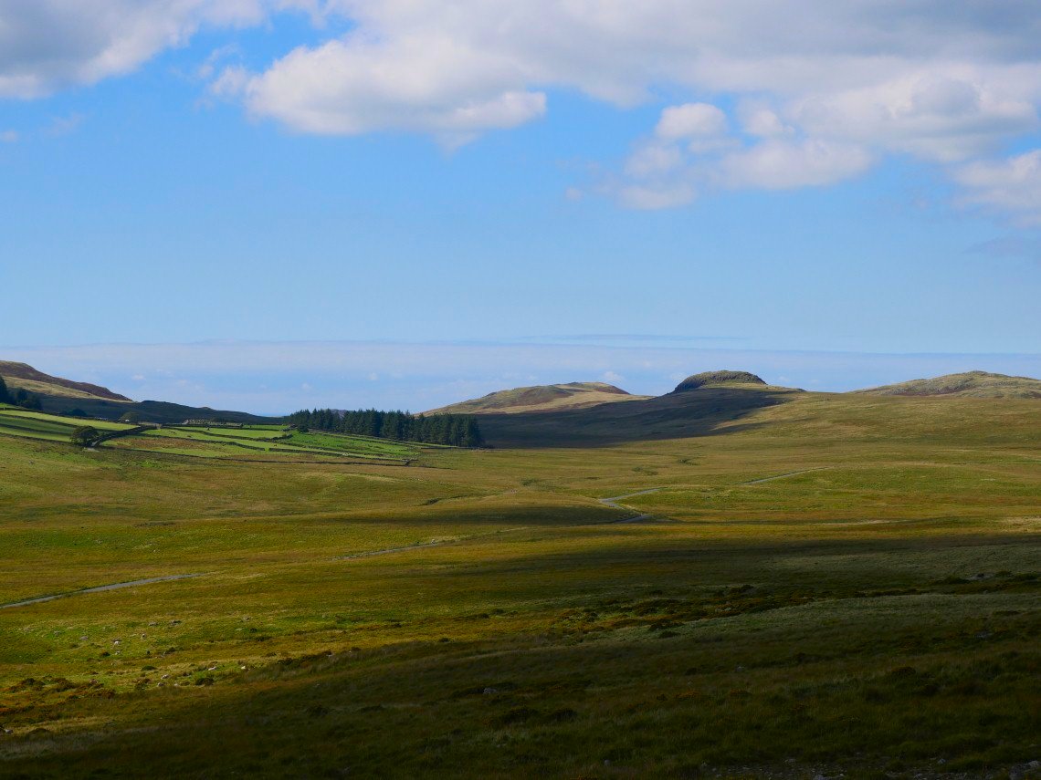
Devoke Water seen from just before the final little climb to the summit of Green Crag seen here on the right.
Looking over Birker Fell to the sea. I just managed to get Devoke Water and Low Birker Tarn in the same shot.
The pointy Stickle Pike in the distance. I made my way back to Ulpha by way of White How an then the wall leading down to the Biker Fell road.
The trees and fields of Woodend with the fells around Devoke Water beyond.
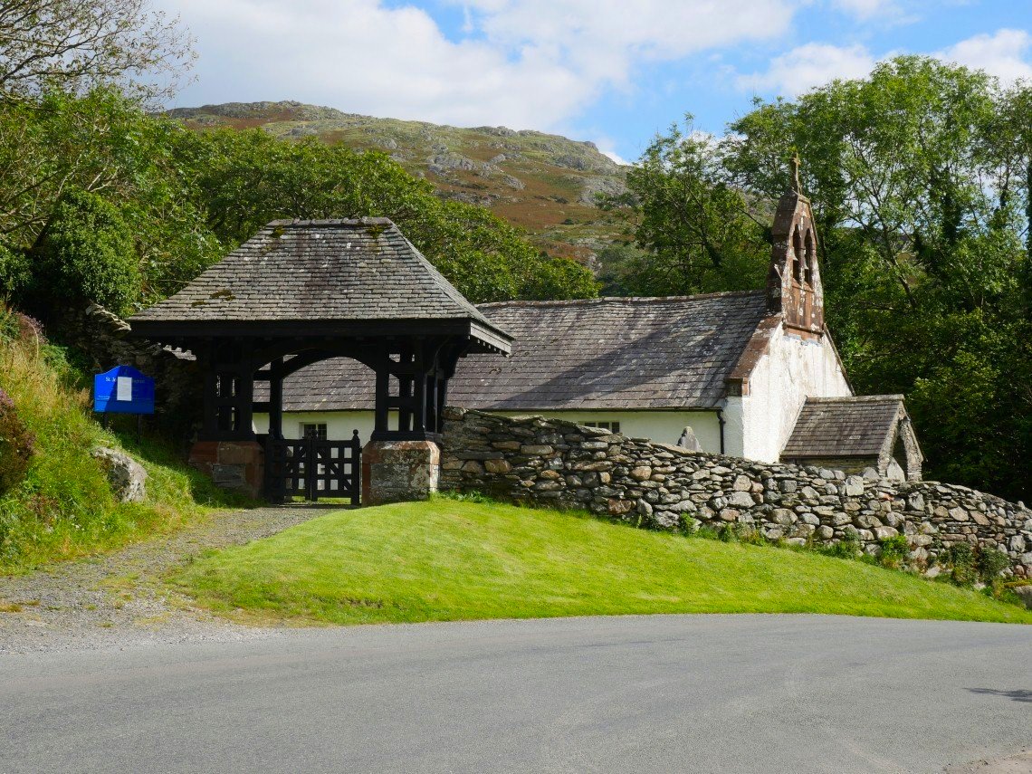
Ulpha church is passed just before I arrive at my car.