WWW.KARLSWALKS.CO.UK
PICTURES AND TRIP REPORTS FROM MY WALKS IN THE ENGLISH LAKE DISTRICT
|
|
|
|
Out of the national lockdown now but into tier 3 which when it comes to travel means virtually the same thing so it was local walks for me again although my walk on the 29th was probably stretching the "local" requirement as I had to drive for forty minutes to get to my starting point of Dunsop Bridge but as it has the same partial post code as me I thought it qualified.
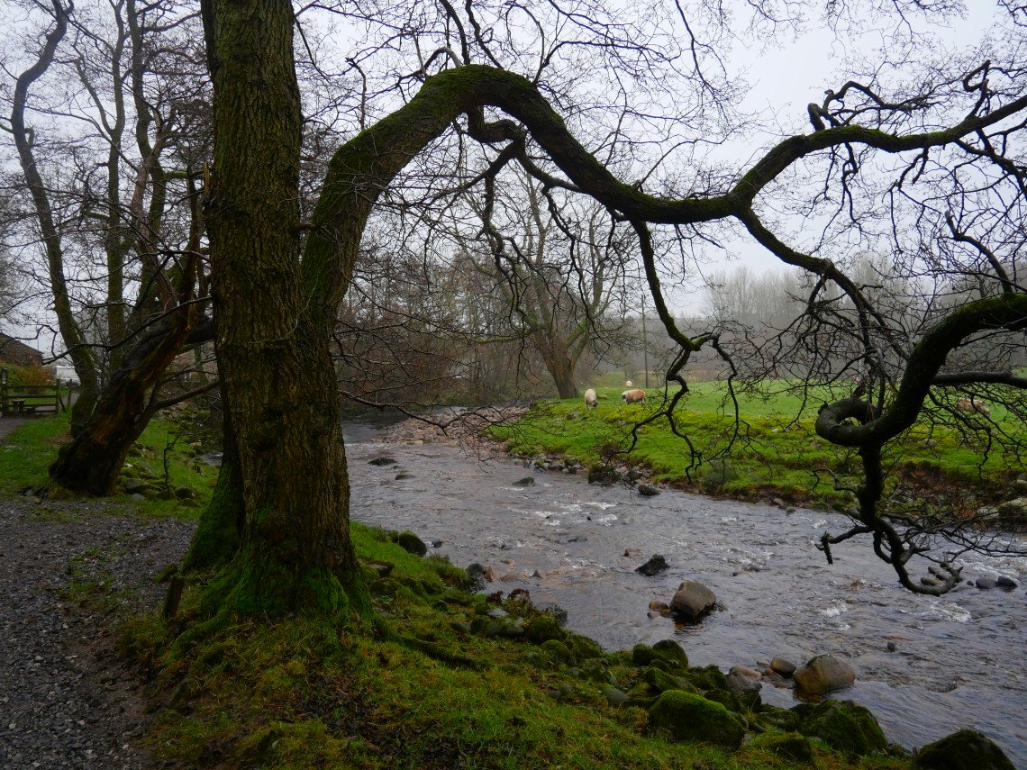
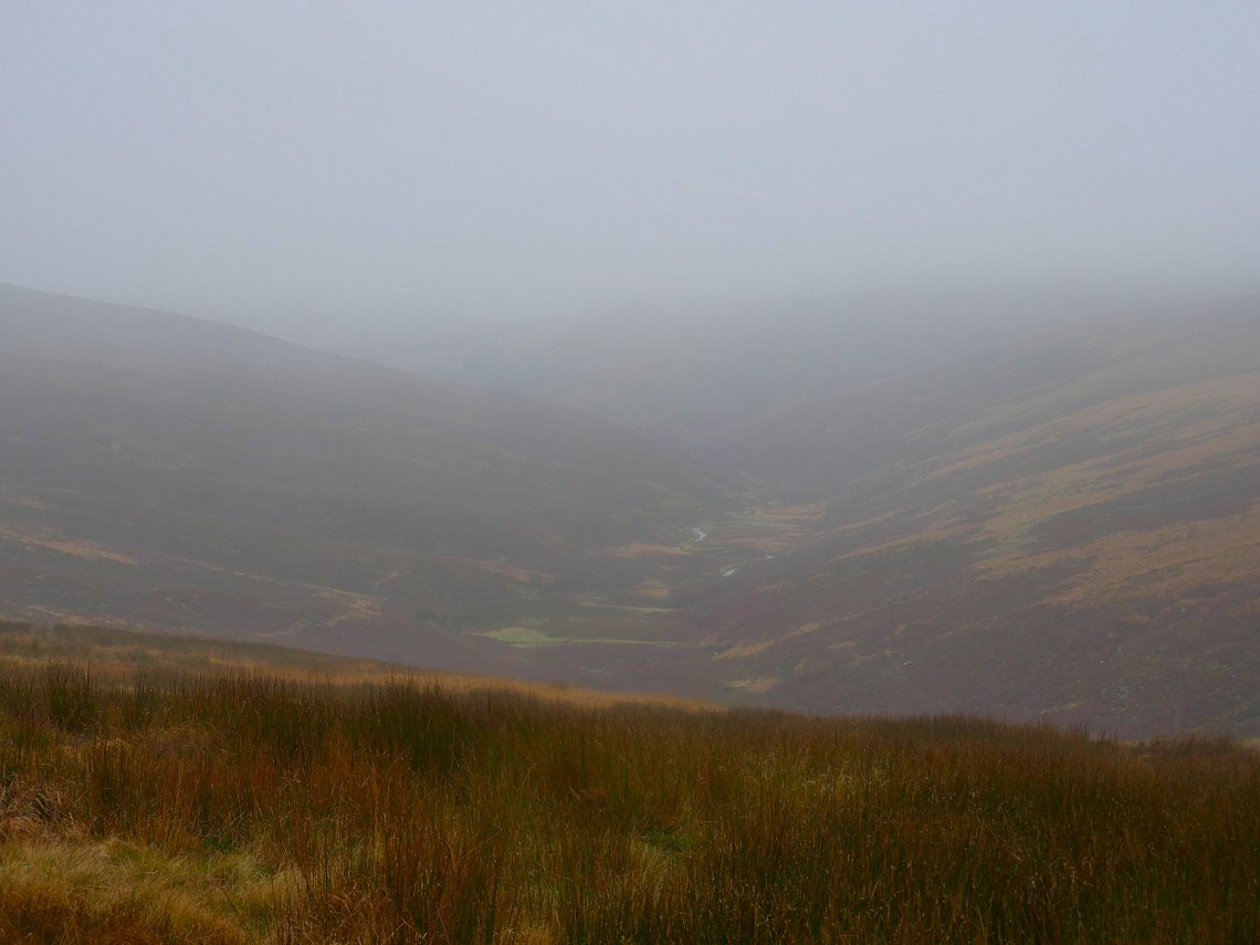
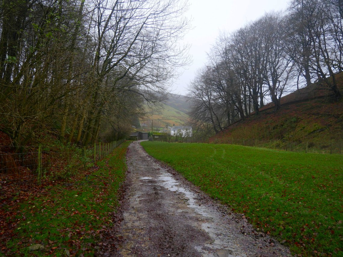
Not that there were many people about as it was a very misty day but not really cold for November and rain wasn't forecast. I set out from the village following the river Dunsop.
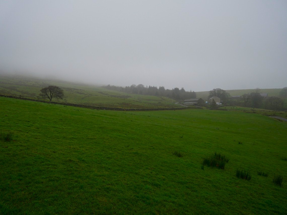
Leaving the path by the river I struck out across the fields to Beatrix farm where I had a bit of a dilemma as although there is a path marked on the map there was a large PRIVATE sign near the start so I had to sneak around the back of the plantation you can see in the picture and hurry across to the open access land..
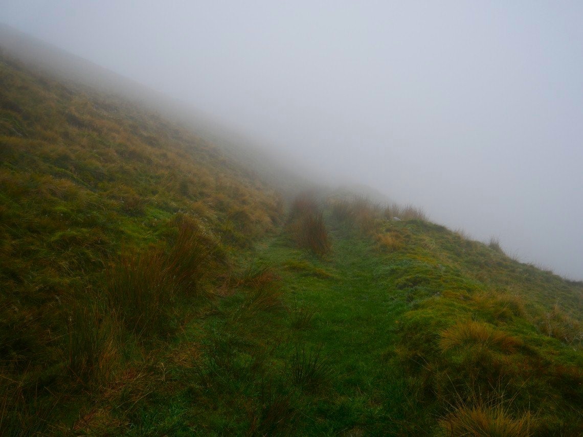
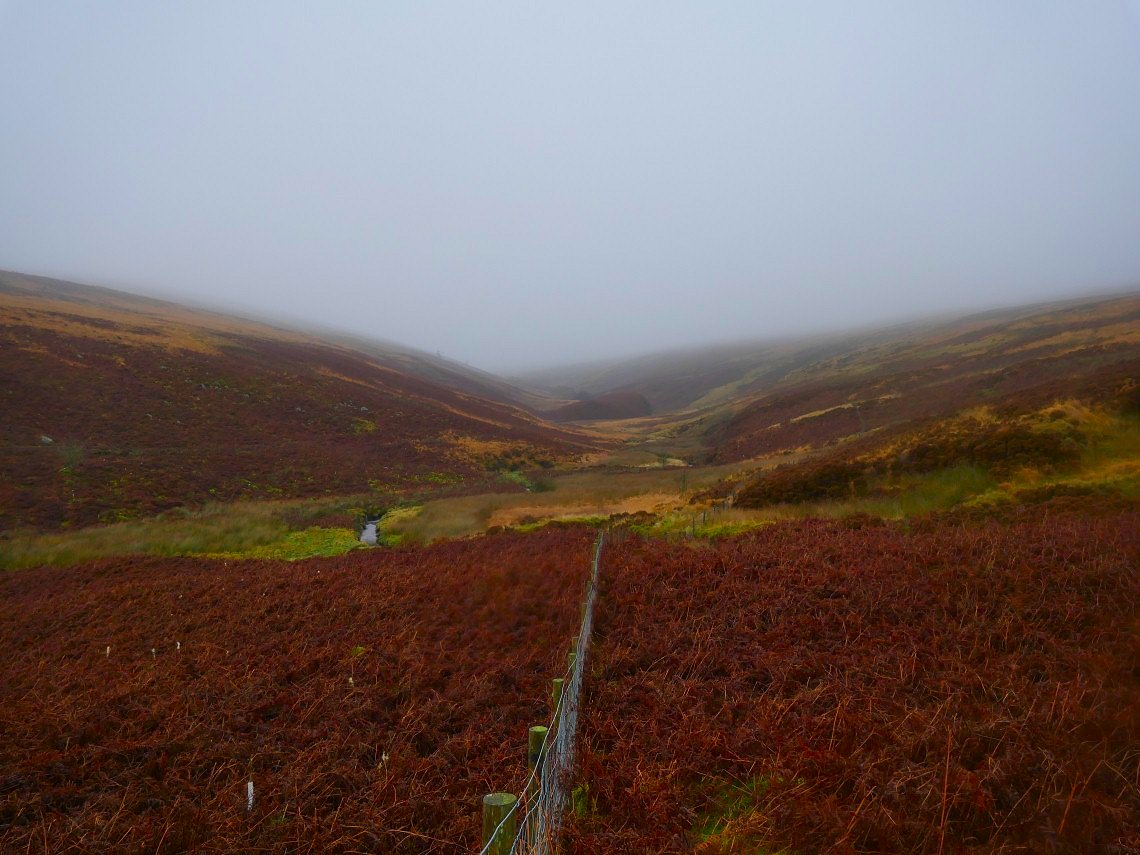
On the safety of open access land now following the well defined path into the mist to intersect the intriguingly named White Wall.
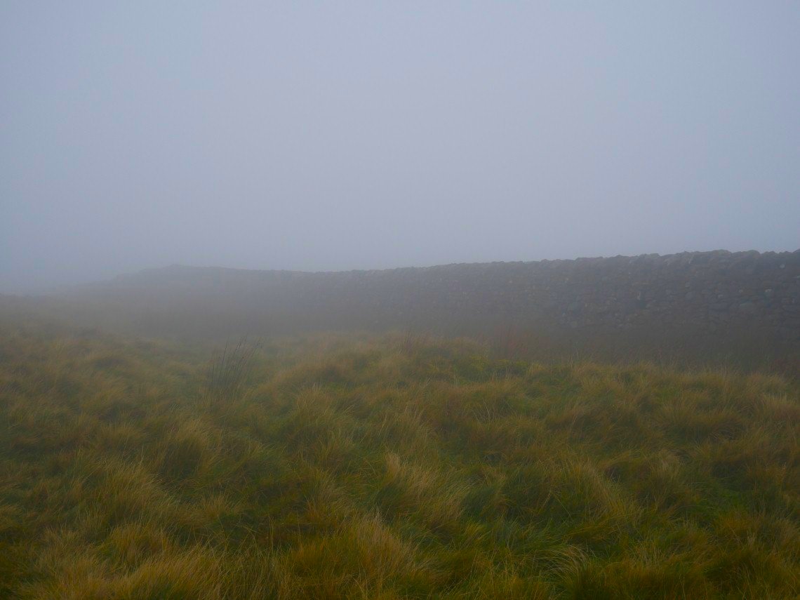
Although the White Wall was a nice wall as walls go I was a bit disappointed as I'd been expecting some Game of Thrones type monolith built to keep out the savage Yorkies.
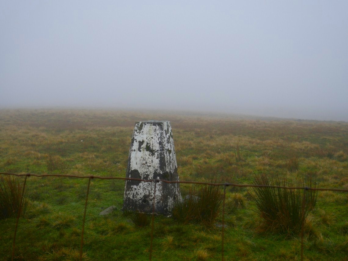
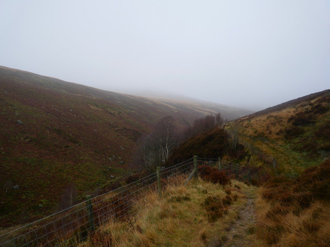
The path crosses through the wall but I decided to stick with it and followed it along to the top of Burn Fell who's trig could do with a lick of paint.
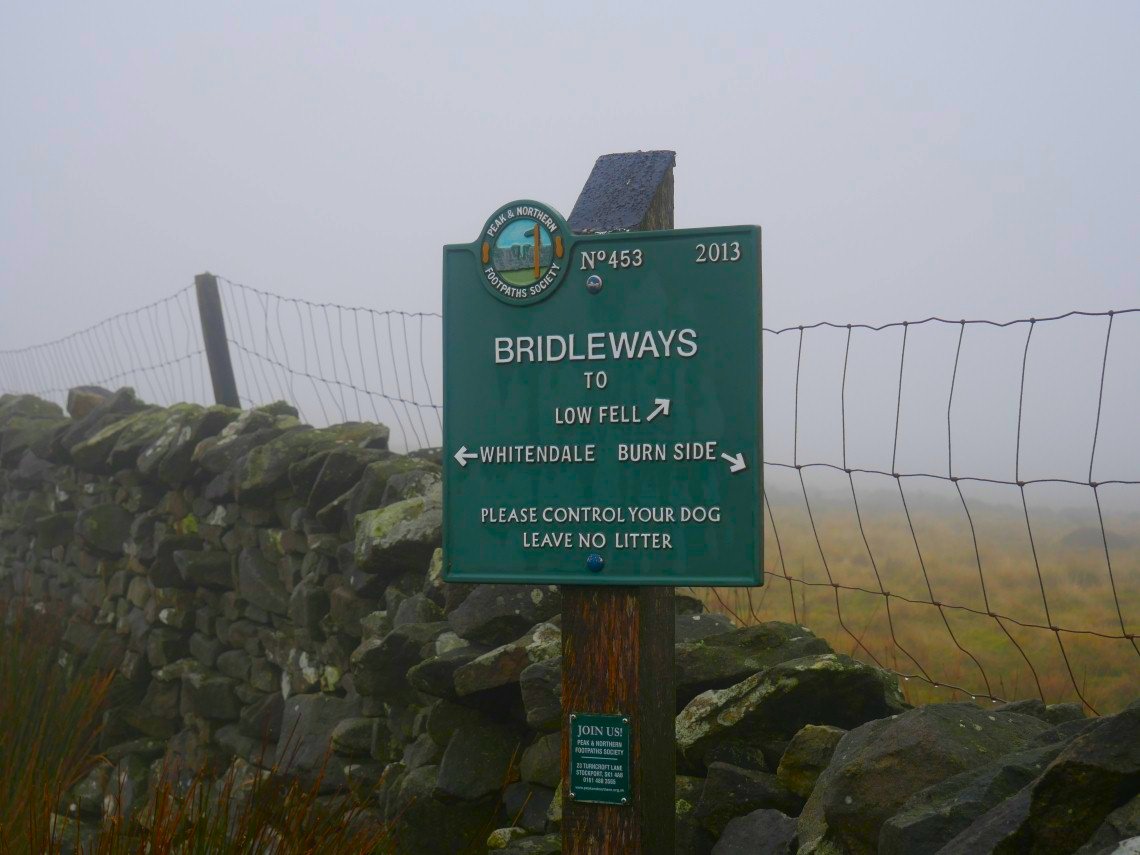
Once on to Dunsop Head you have a choice of Bridleways, none of which I took. Instead I followed the fence along to Baxton Fell..
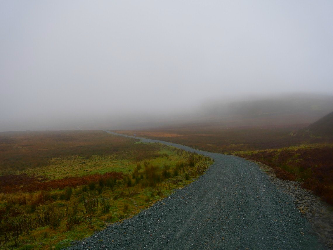
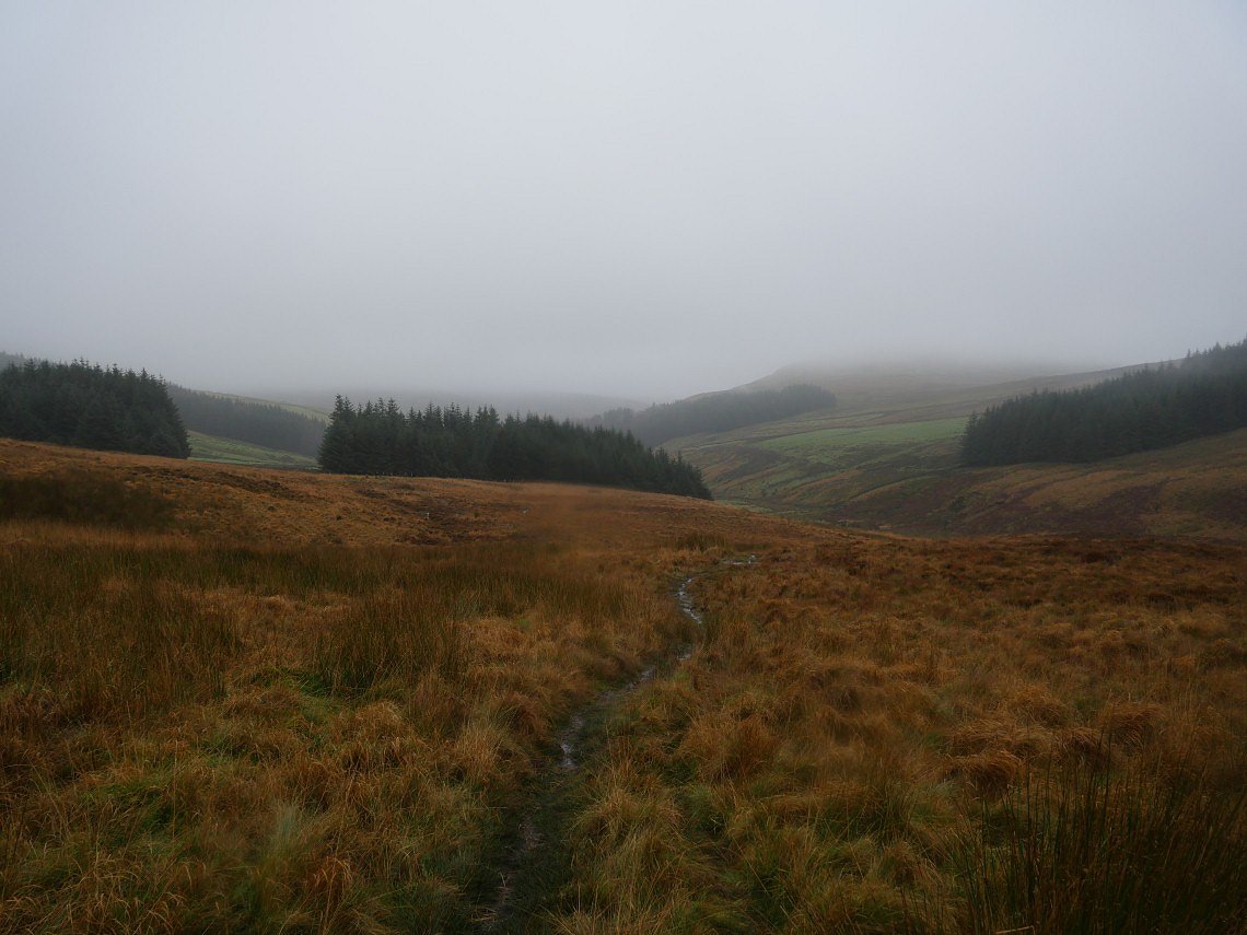
Fortunately after leaving the fence I had a stream to follow to Croasdale quarry. At first I thought this was a quarry track leading to Hornby road but in fact it was actually Hornby road, I didn't expect it to be so wide and well maintained.
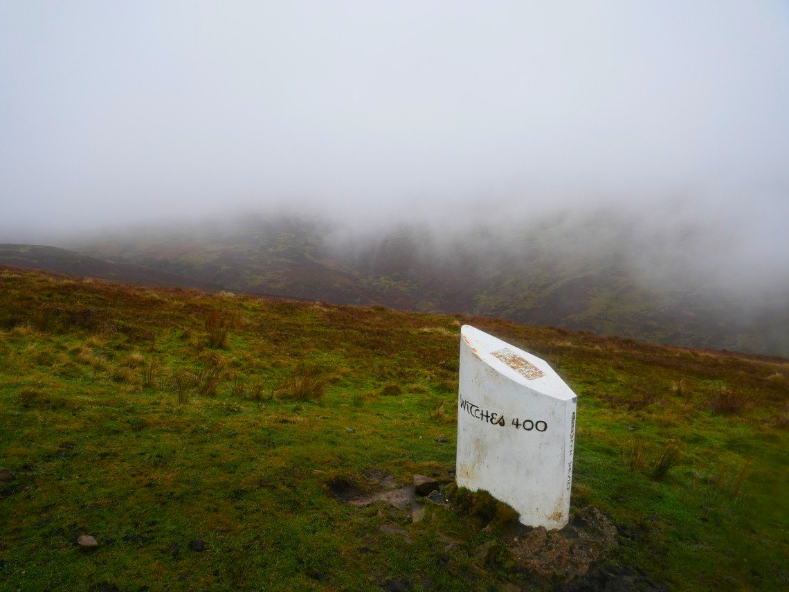
This is the sixth tercet waymarker on the Lancashire Witches walk, a route designed to commemorate the 400th anniversary of the Pendle witch trials.
.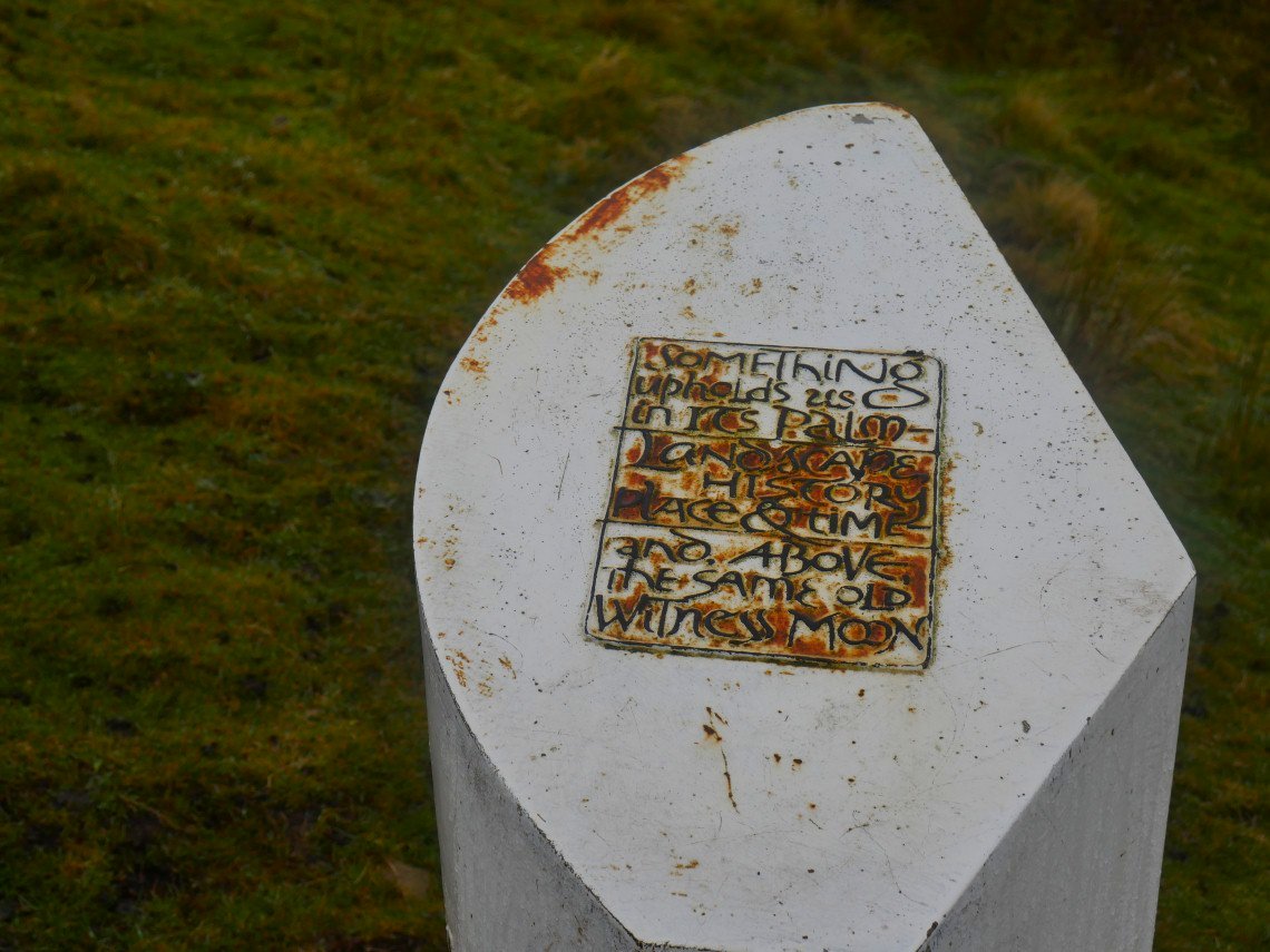
Each of the markers have a stanza from the poem by poet laureate Carol Ann Duffy
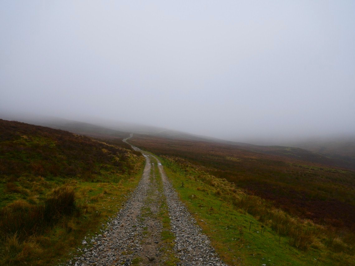
After climbing on to the moor Hornby road becomes more like I imagined it would be.
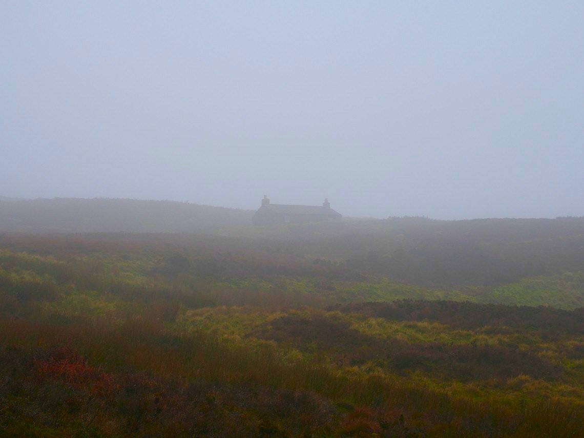
The well maintained roads are probably due to the grouse shooters who's luncheon hut appeared out of the mist.
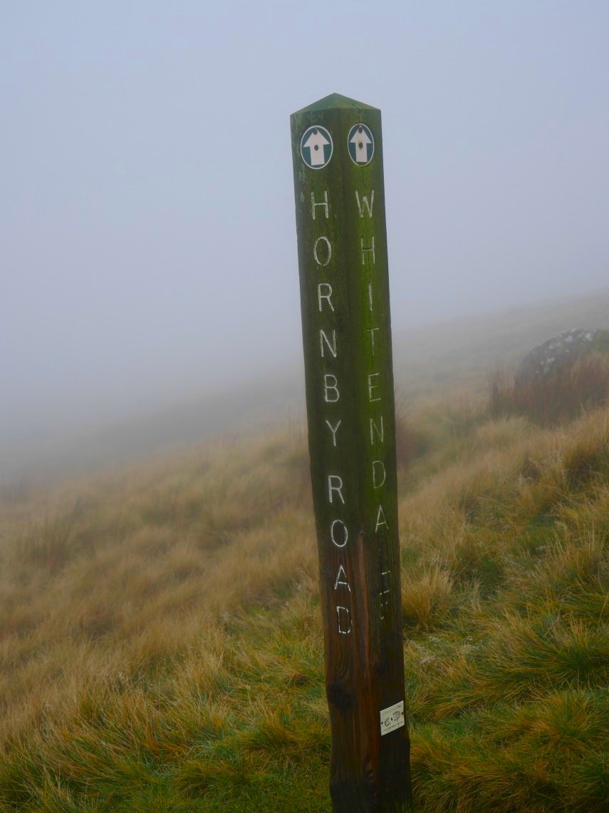
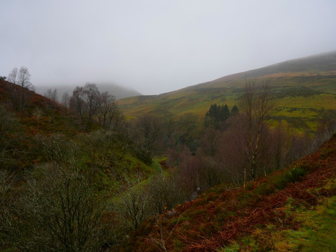
At this signpost I turned left to descend into the Whitendale valley'.
Which on a clear day is probably very scenic.
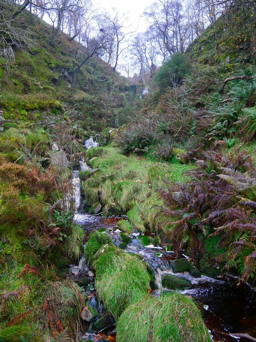
The path down the valley was quite clear but very boggy in places. This is looking back along the valley.
Also in places the path contoured quite a way above the river.
Eventually the valley widens and you reach the farmland around Whitendale.
Approaching the farm at Whitendale, if I'd followed the sign on Dunsop Head this is where I'd have ended up.
The path takes to higher ground again and in places the valley sides have been quite heavily reinforced.
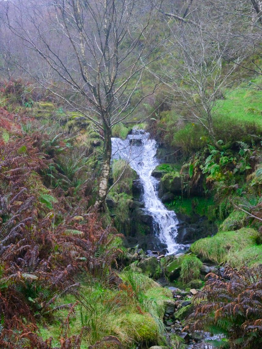
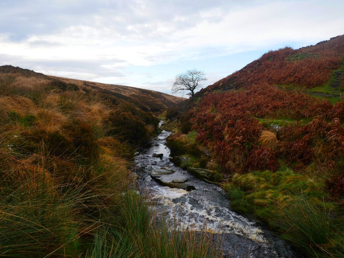
Couple of nice waterfalls in Costy Clough. Shortly after here you join the water authority road which leads you all the way back to Dunsop Bridge.
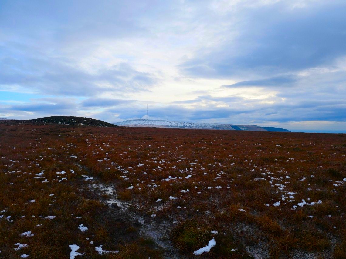
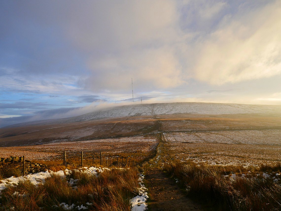
The following weekend Sue and I are on the now familiar climb away from Belmont but this weekend has seen our first snow of the winter
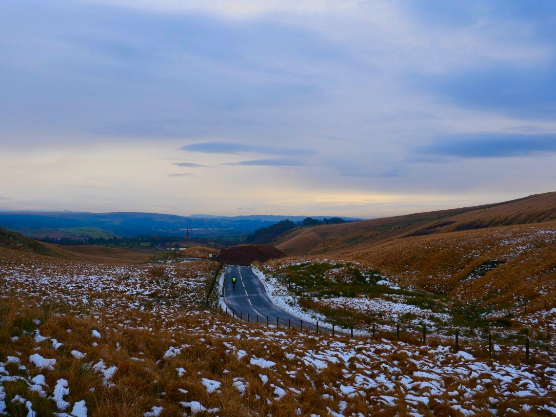
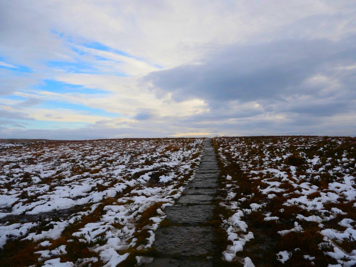
Snow !
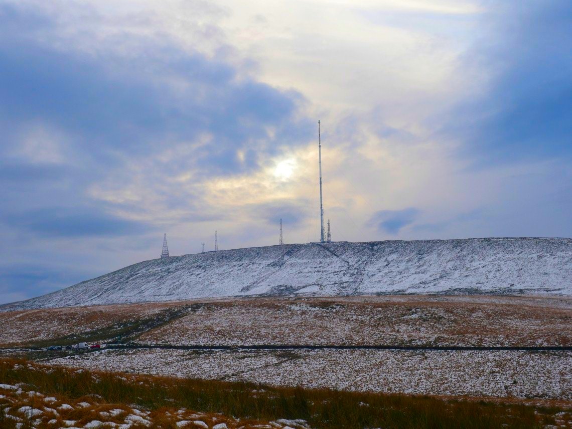
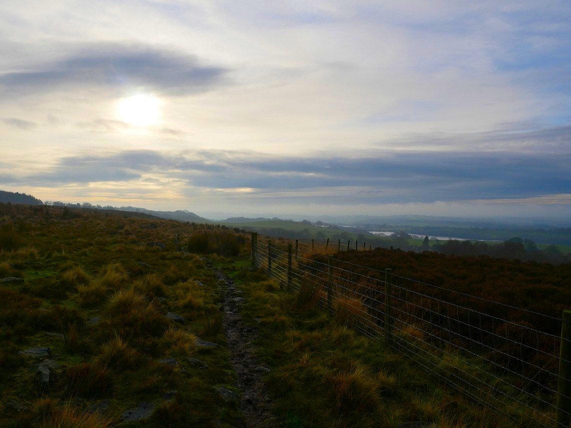
But hardly any on the west side of the moor
Lead Mines Clough seen from the bridge over Limestone Brook.
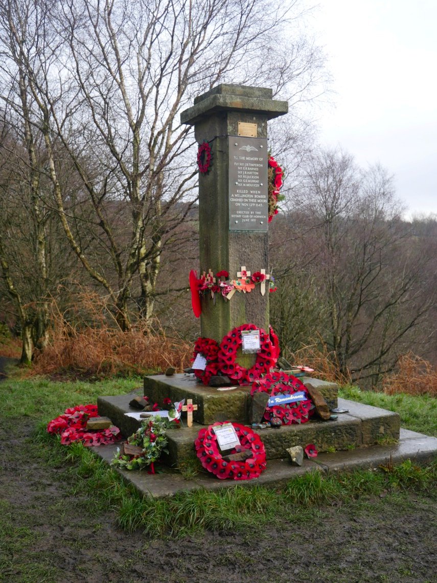
We visited the memorial to the airmen who lost their lives in 1943
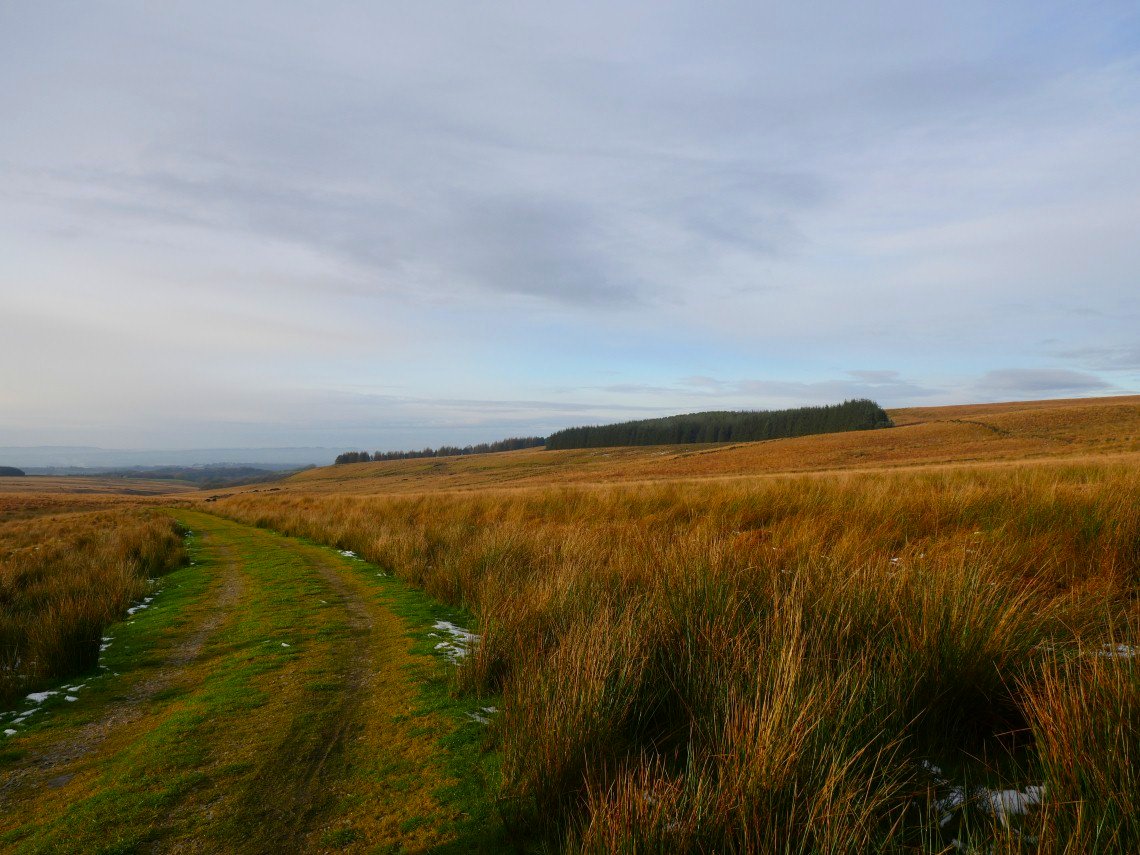
We followed the good track to Moor Rd and originally were going to head for White Coppice but instead found a path leading away to our right which we thought looked interesting so followed it as it traversed along the top of Stronstrey Bank. Anglezarke reservoir is in the valley below.
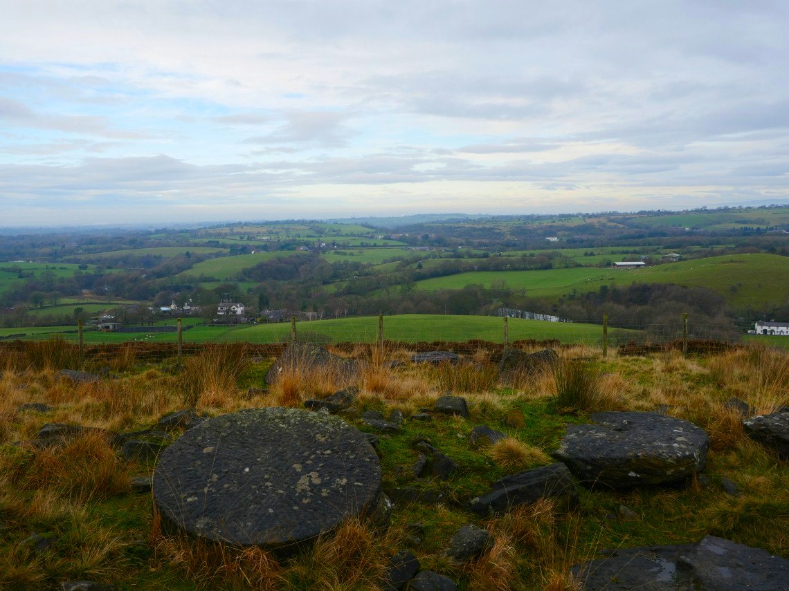
There is an old quarry marked on the map and here we found some circular millstones.
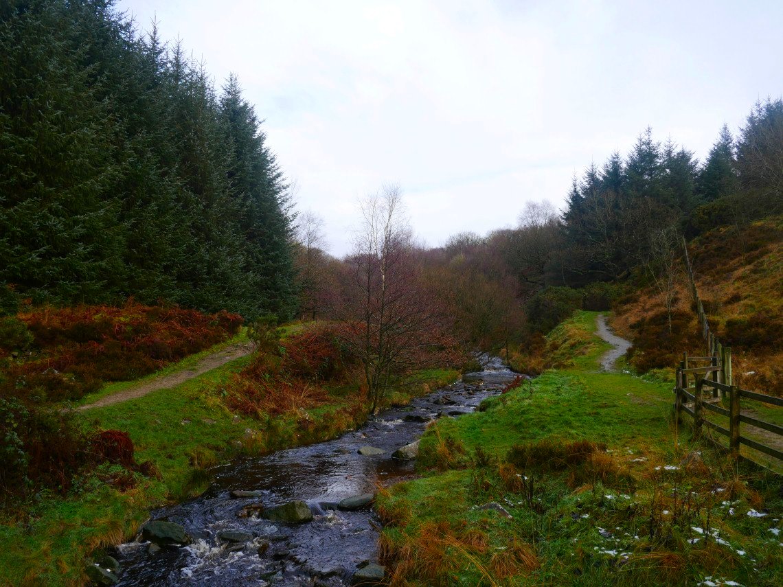
The trees around Drinkwaters and Great Hill are across the valley of Dean Black Brook..
Our path descends to the brook from where you could cross to the main path to Great Hill but we elected to return on to the moor.
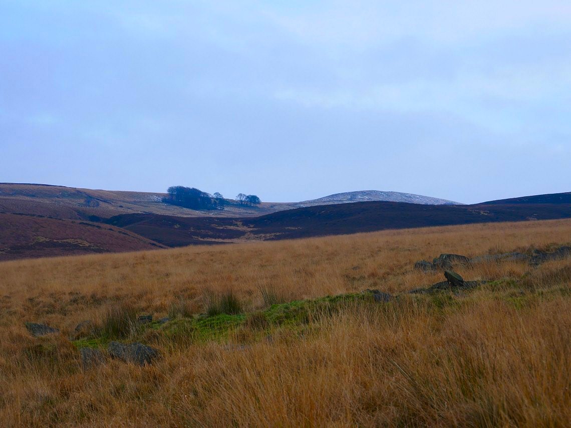
Where, after following a narrow path through the heather we reached Round Loaf.
From Round Loaf to Redmond's Edge the ground is incredibly boggy and wet so we were glad to reach the slabs.
A nice end to the day on Spittlers Edge.
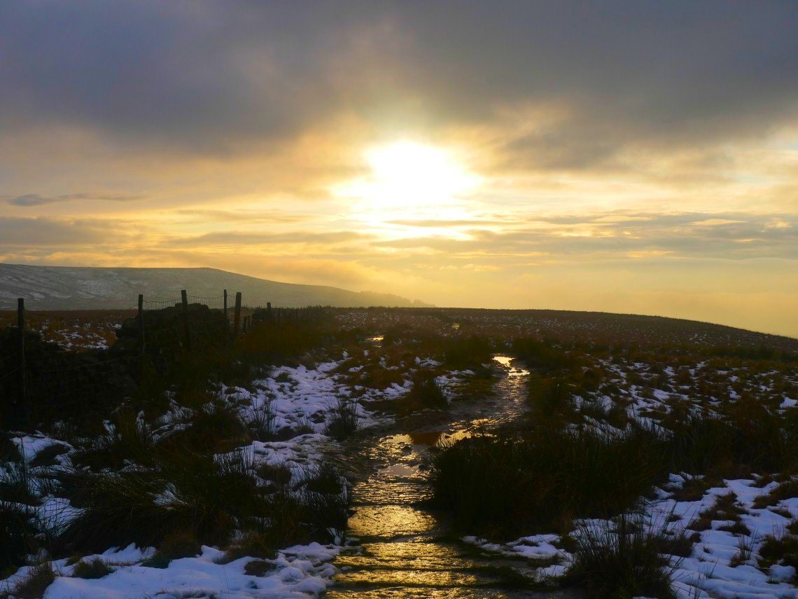
Sunshine and cloud on Winter Hill.
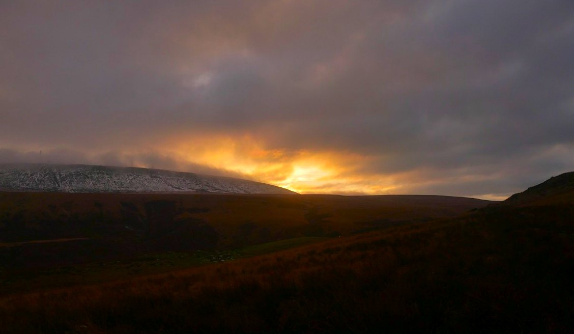
Pretty good ( or lucky ) timing as we reached home just before darkness.