WWW.KARLSWALKS.CO.UK
PICTURES AND TRIP REPORTS FROM MY WALKS IN THE ENGLISH LAKE DISTRICT
|
|
|
|
Another quick overnighter, this week walking from the highest point on the A6 just outside Shap over the lonely open moorland to camp above the Longsleddale valley..
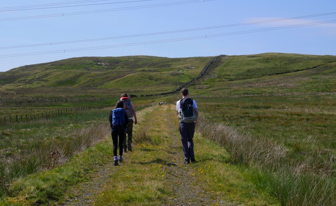
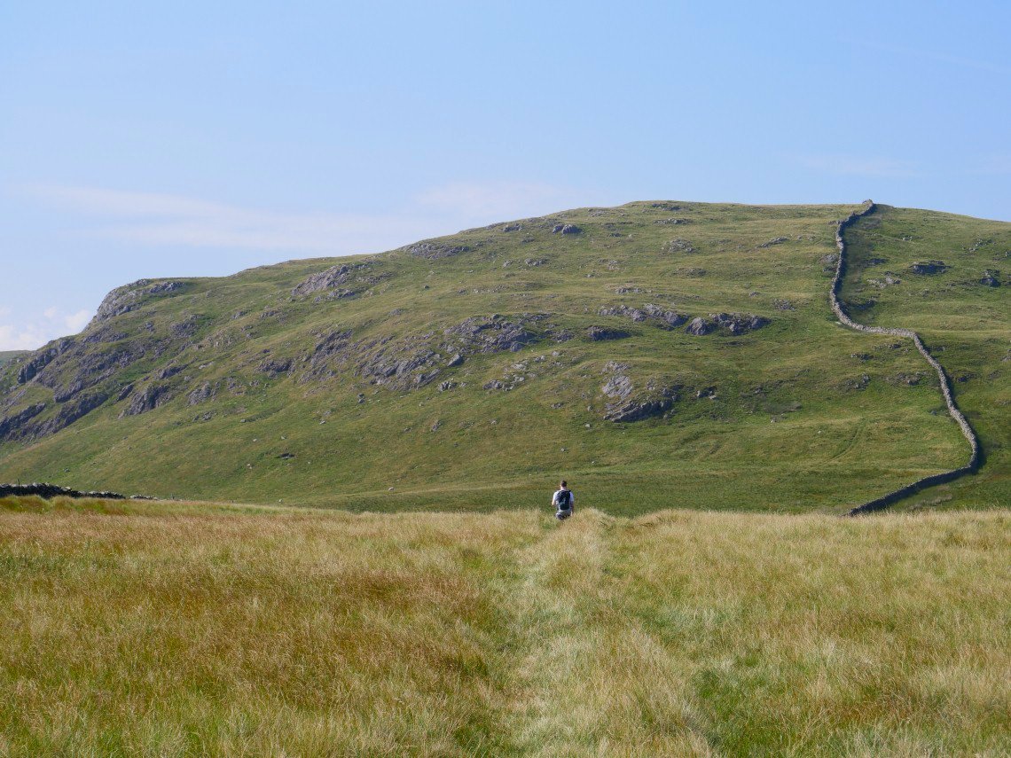
Robert, David and even Emily ( who has not camped in about 3 years ) came along today and here they are setting off under the electric wires up the gentle climb to Whatshaw Common.
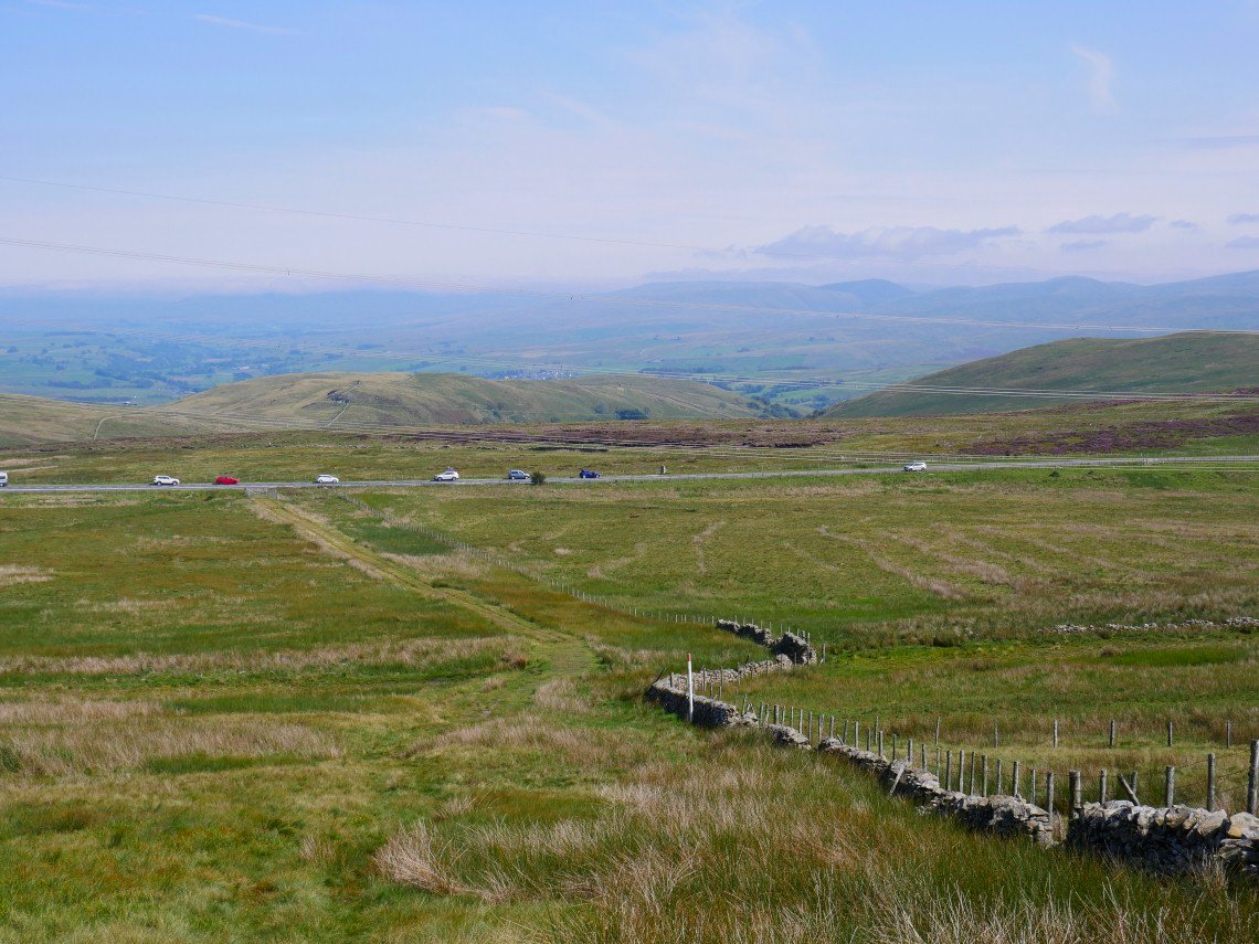
Looking back to the long lay-by at the road summit. The eastern Howgills seen away to the right.
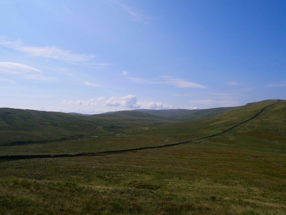
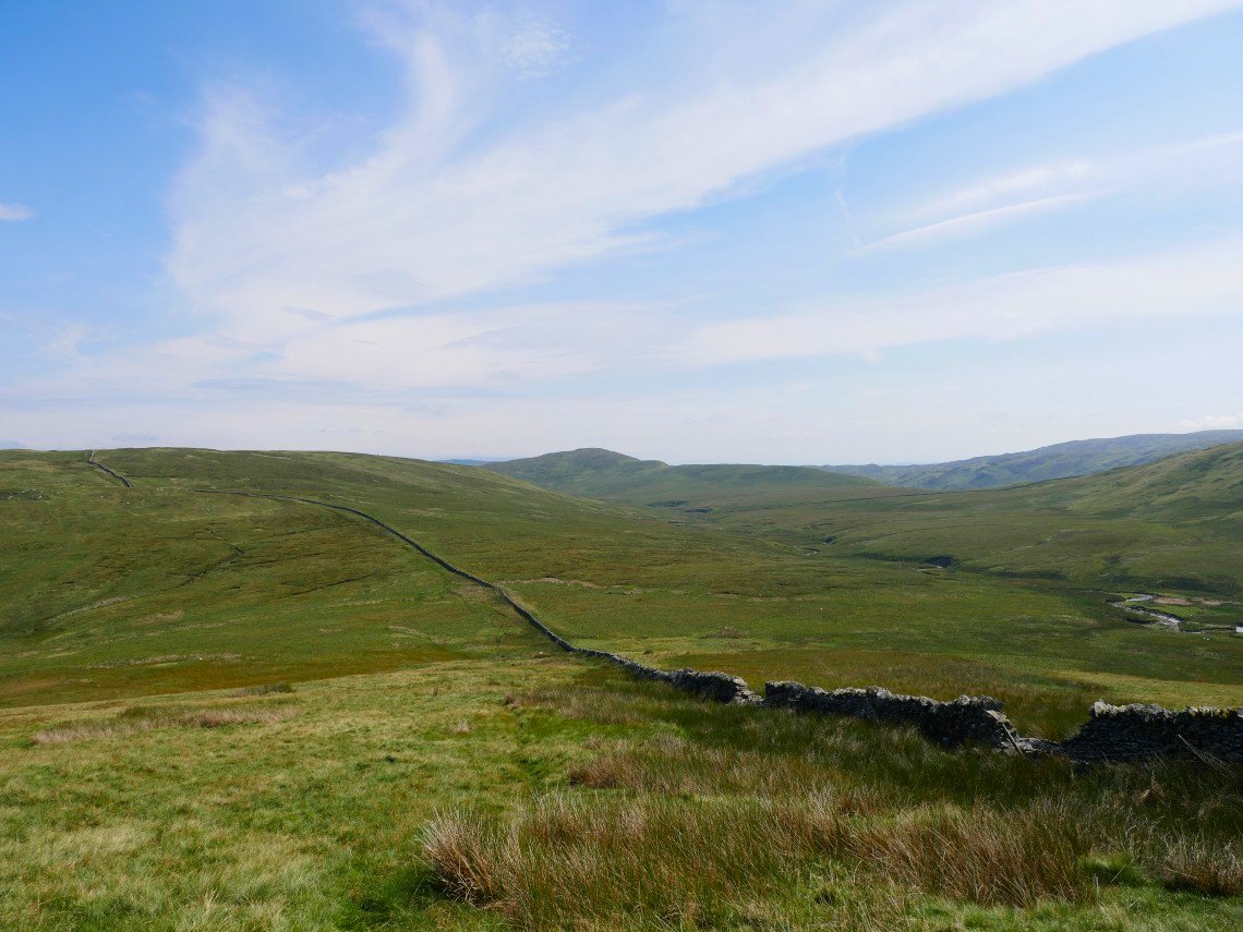
Navigation is really easy on this route, just follow the wall all the way over Little and Great Yarlside to Harrop Pike which is the higher ground in the centre of the photo.
Although fine today the weather recently has been quite poor so unsurprisingly the normally boggy ground was saturated in places especially here in Wasdale Mouth. Crookdale is the valley to the left.
The ground did dry out as we climbed Little Yarlside. The hill in the distance is High House Bank which we planned to climb on our way back tomorrow.
Approaching Great Yarlside. Yarlside Crag on the left
And a look back from the climb.
.
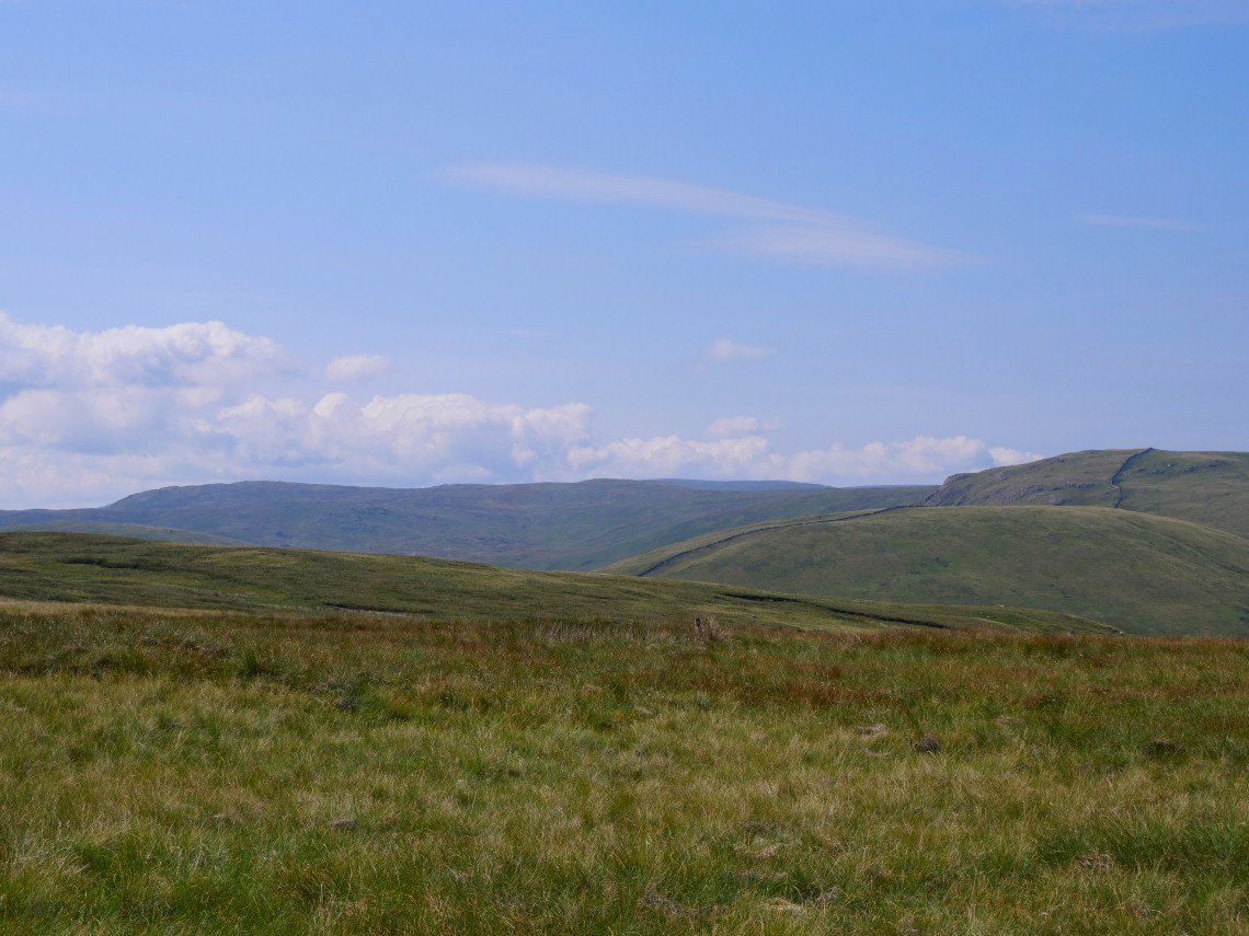
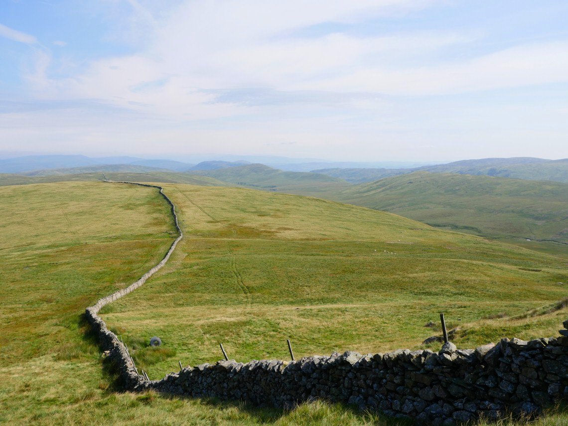
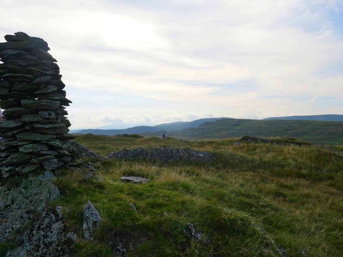
If you are looking to avoid the post lockdown crowds this is the place to come. Miles and miles of lovely nothingness and we only saw three people over the two days. If you squint you can just see the cairn on Harrop Pike in the distance.
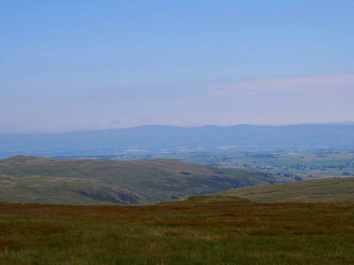
Cross Fell and the Dun fells across the Eden valley.

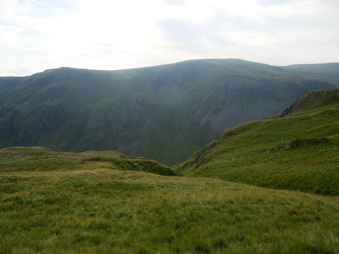
Round to the south are the hills of Borrowdale in Westmorland.
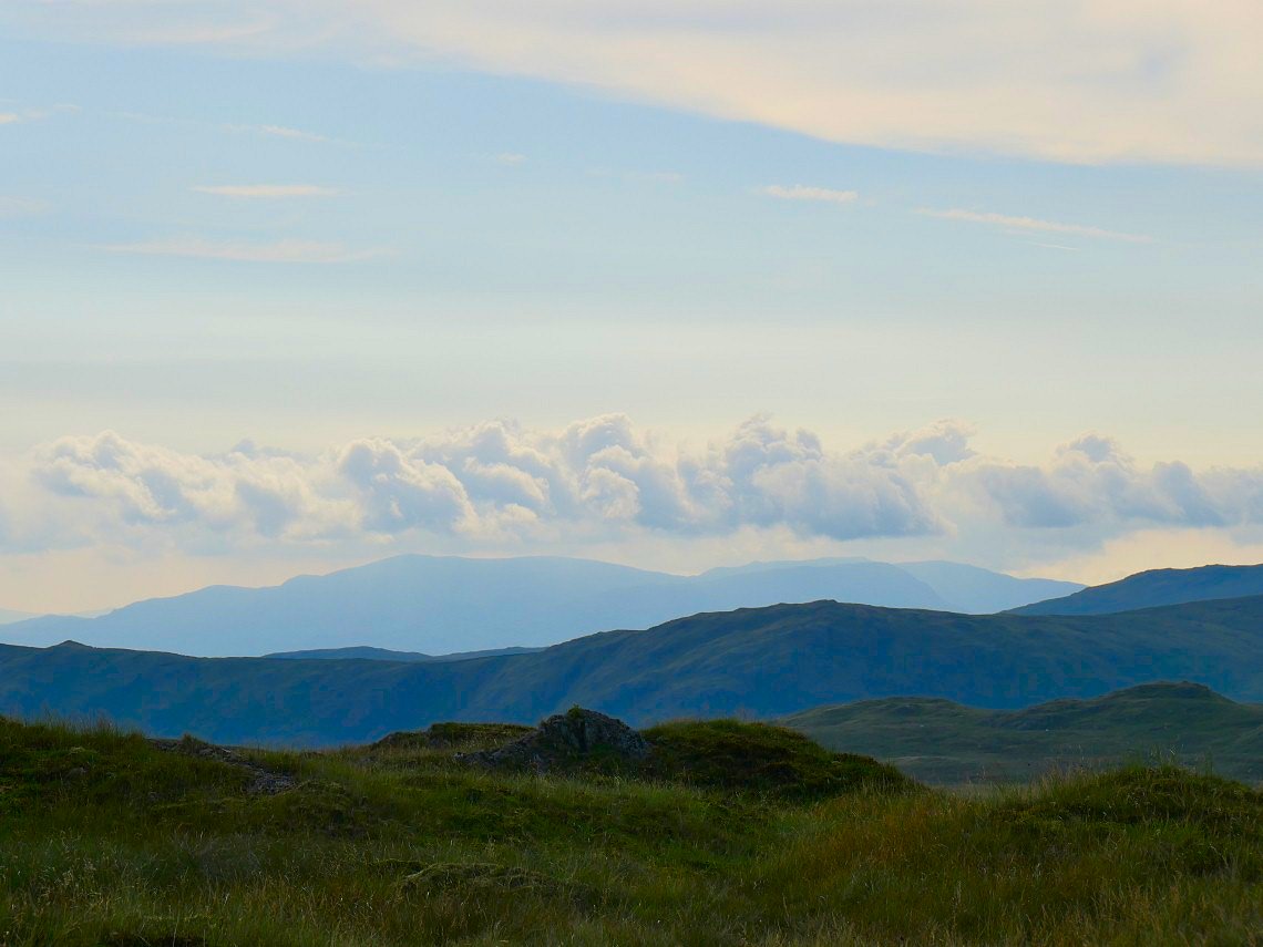
As you approach Harrop Pike the view to the west opens up and the Coniston fells are seen in the far distance.
On Harrop Pike now looking across to Tarn Crag.
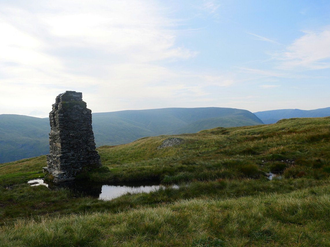
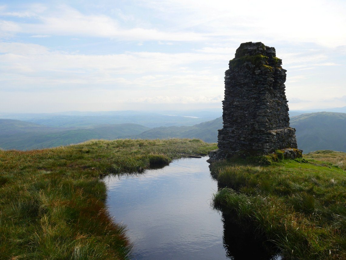
It's not that far across the boggy saddle of Grey crag Tarn till you reach the survey tower on Tarn Crag.We had set off around 2.30 and it's five O'clock now on a lovely temperate late afternoon with warm sunshine and slight breeze to keep the midges away.
Windermere seen through the afternoon haze.
We descended quite a way from Tarn Crag as I wanted a view of the valley from our camp site. This is looking back to Tarn Crag.
Goat Scar and Kentmere Pike across Longsleddale.
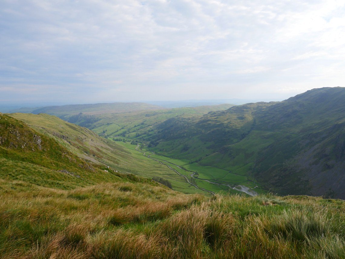
There was a view down into Longsleddale from our camp site..
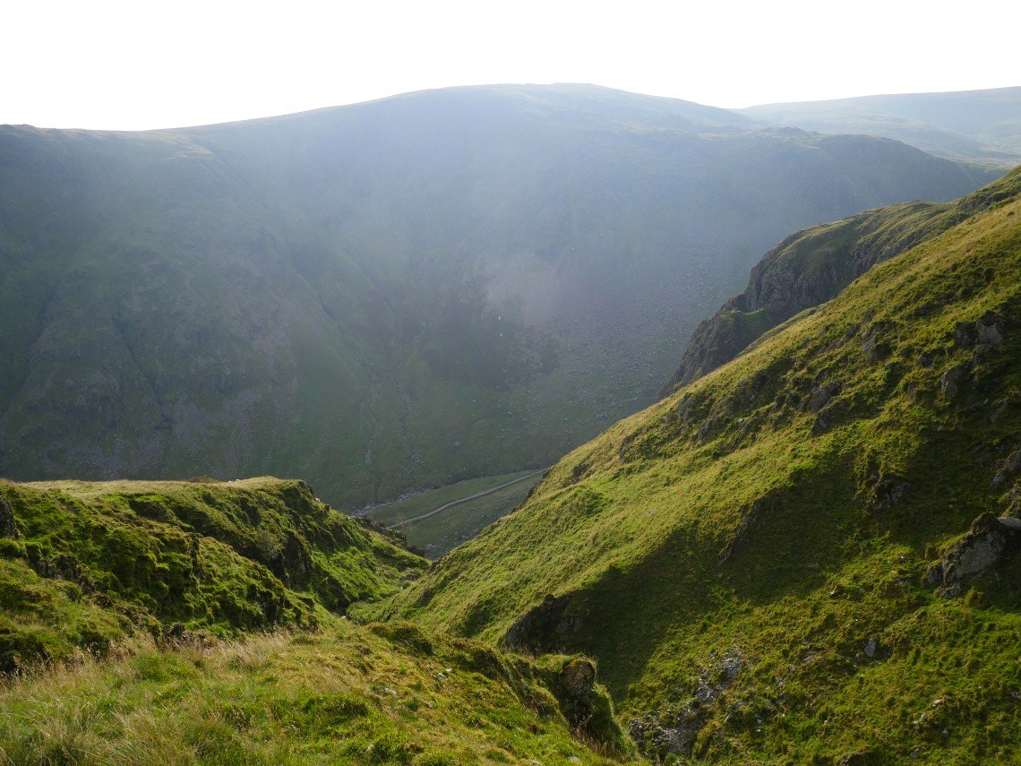
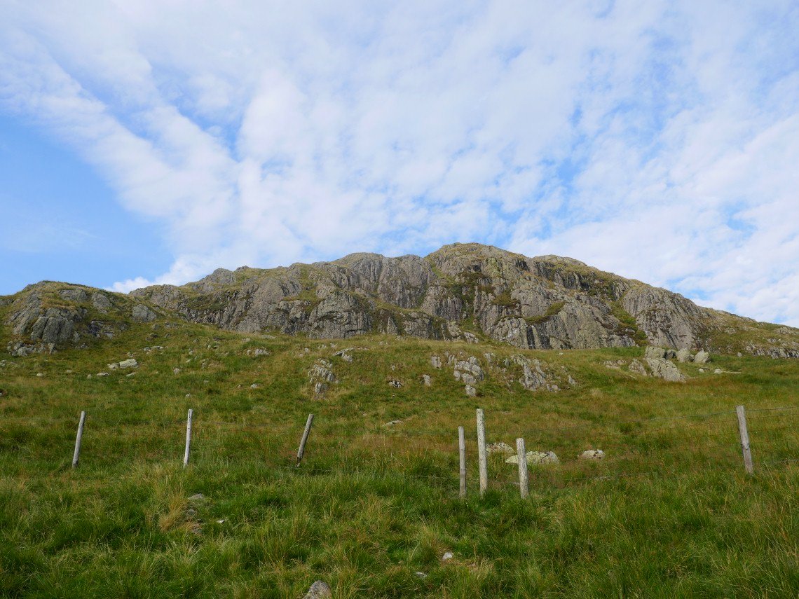
I went over to The stream running down Buckbarrow Crag hoping to have an explore but it was much too steep and rough to follow and even just getting water for our tea involved a steep scramble.
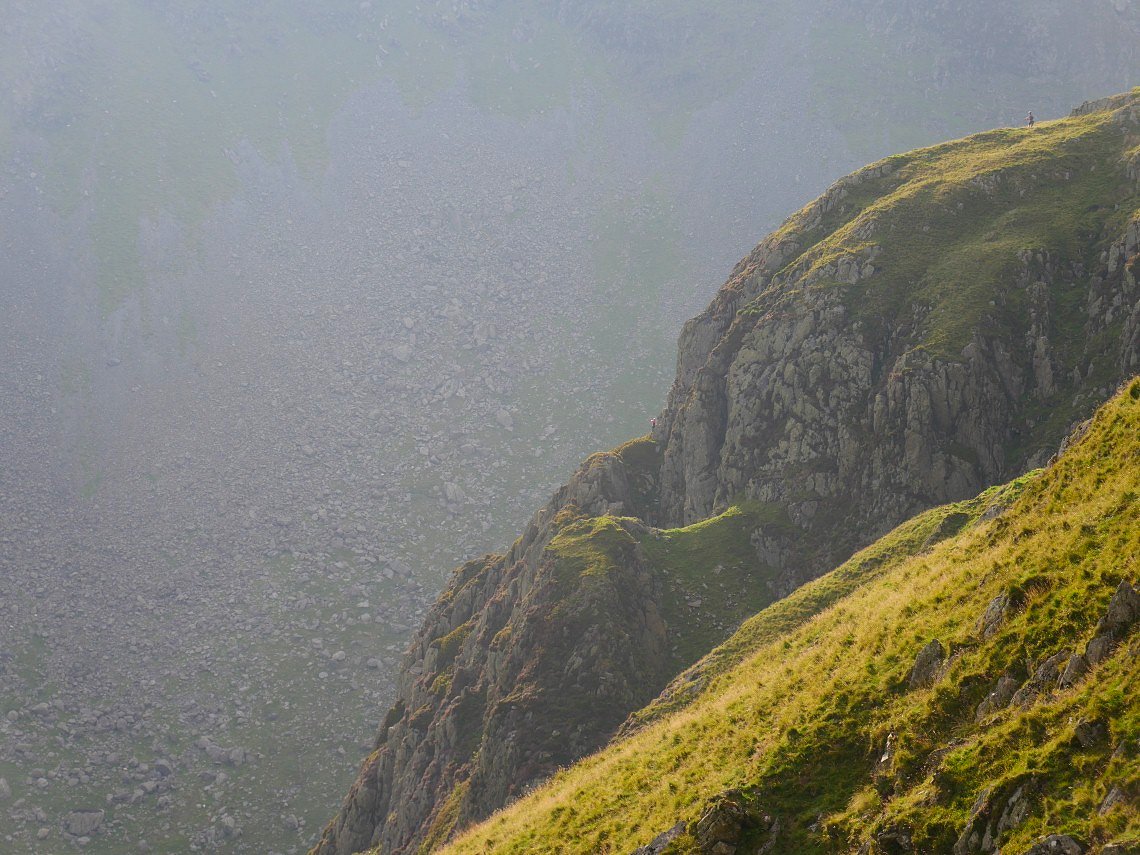
A lovely evening for a climb on Buckbarrow.
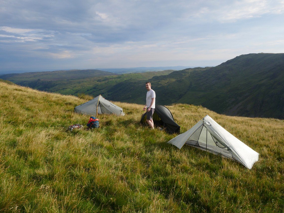
And a lovely evening for a camp.
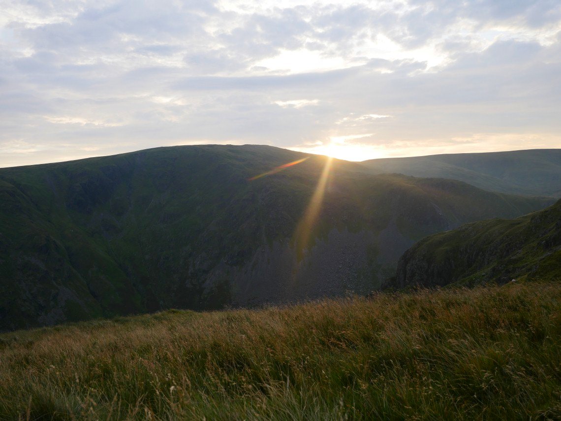
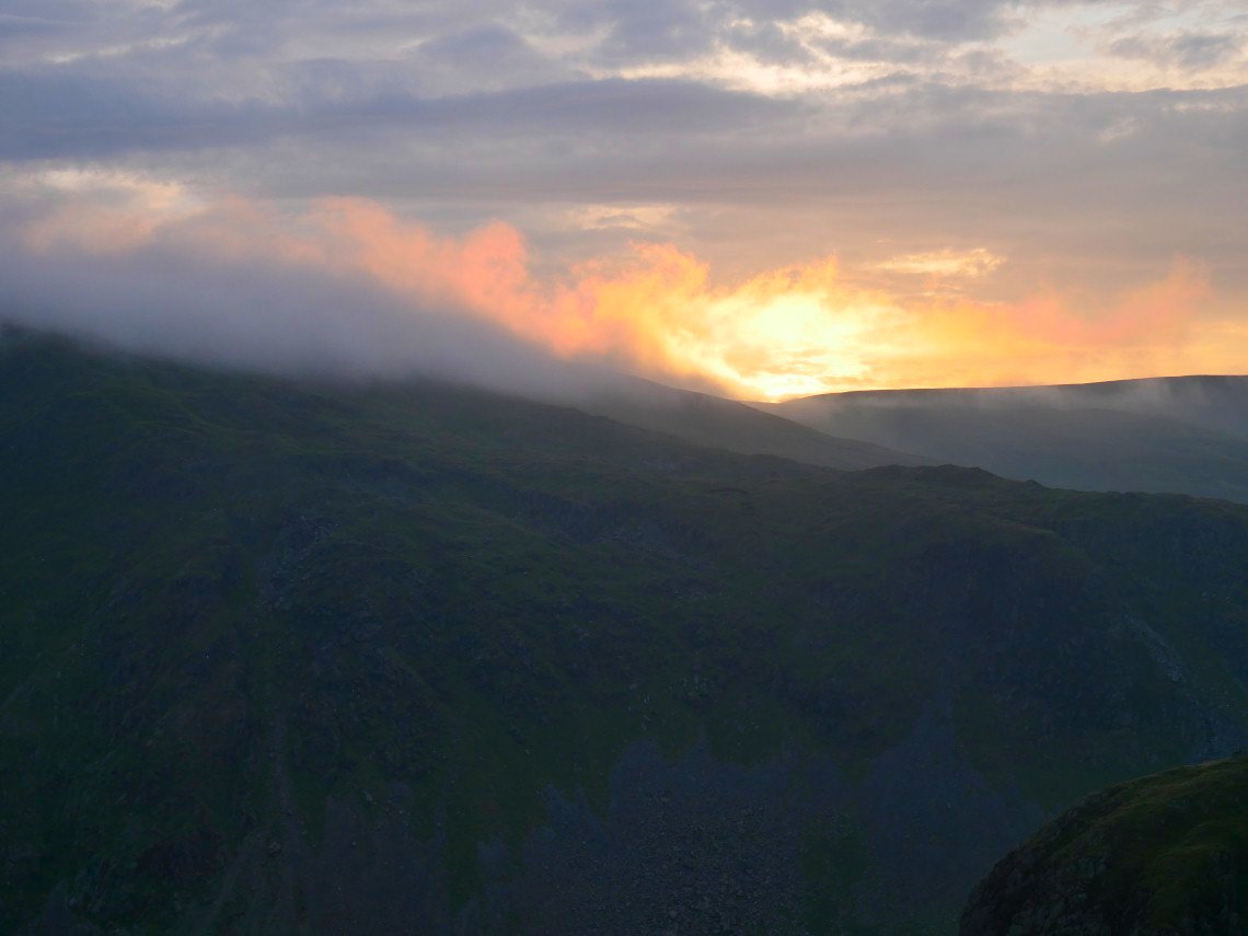
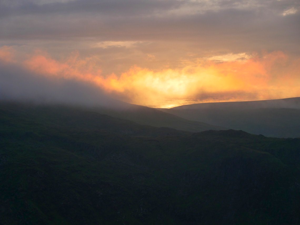
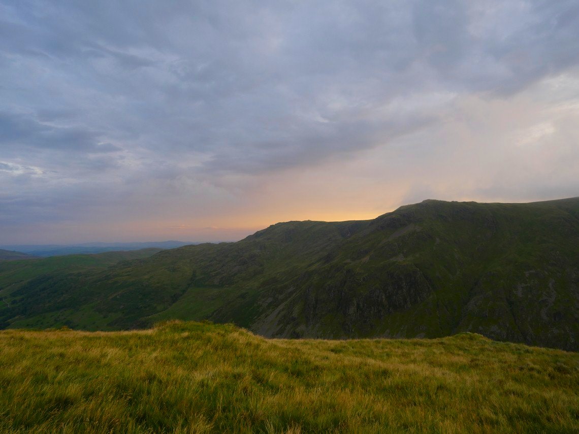
Sunset behind Kentmere Pike.
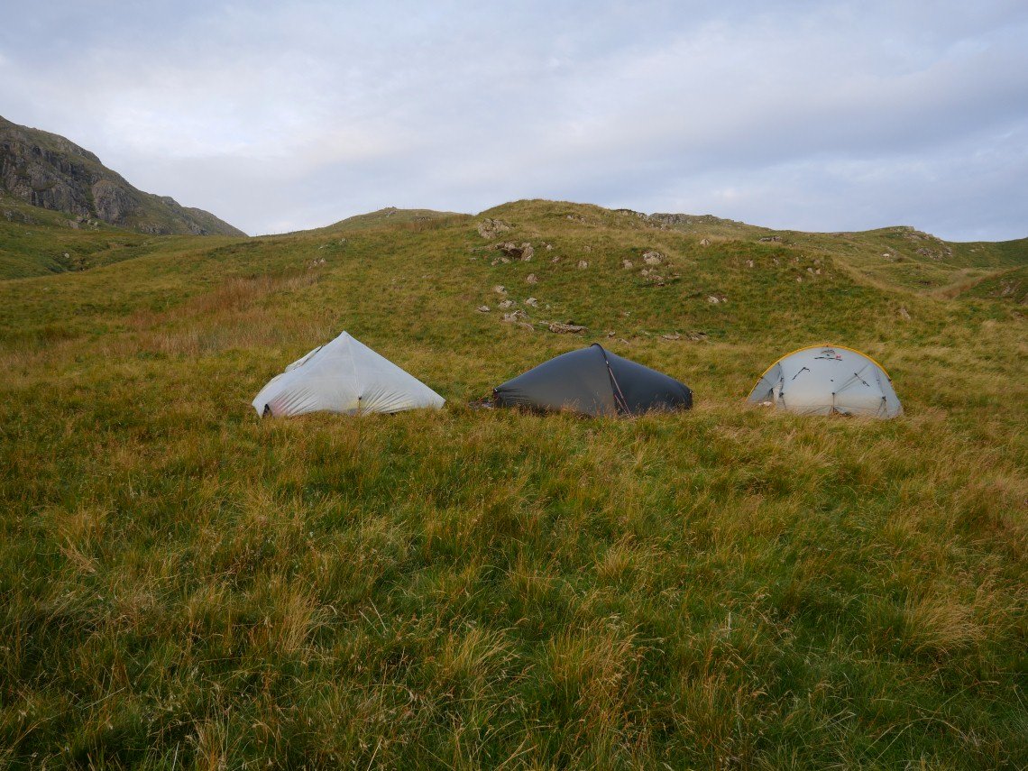
Our beds for the night lit by the evening sun.
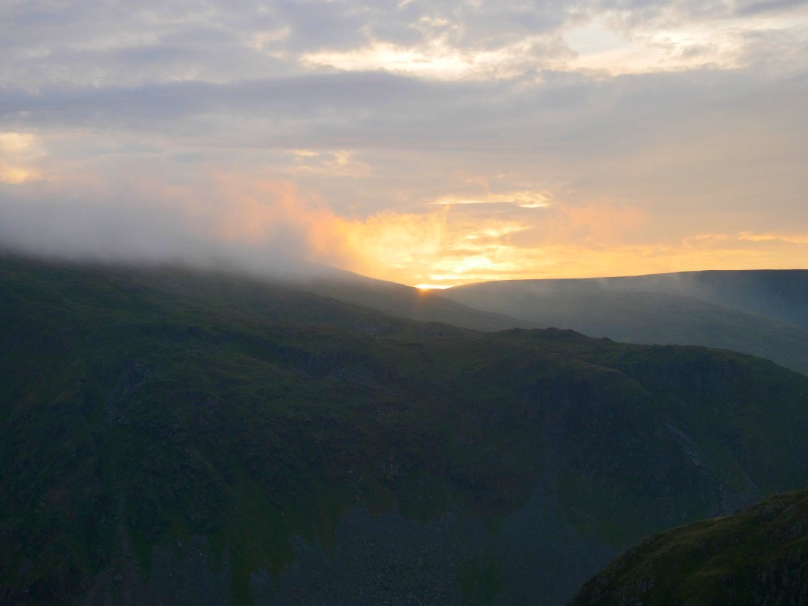
Quite a nice sunset but it didn't last long.
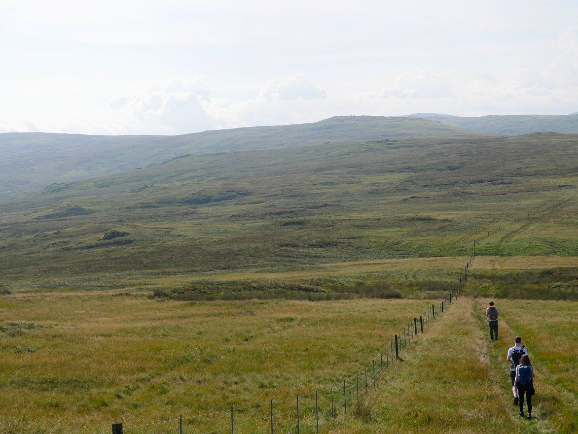
Although rain wasn't forecast it did start to rain after dark and seemed to rain all night. When we woke the clag had come down so we changed plans and returned the way we came following the fence all the way back to the car.