WWW.KARLSWALKS.CO.UK
PICTURES AND TRIP REPORTS FROM MY WALKS IN THE ENGLISH LAKE DISTRICT
|
|
|
|
Another local walk for us today albeit a little further than we have been going.

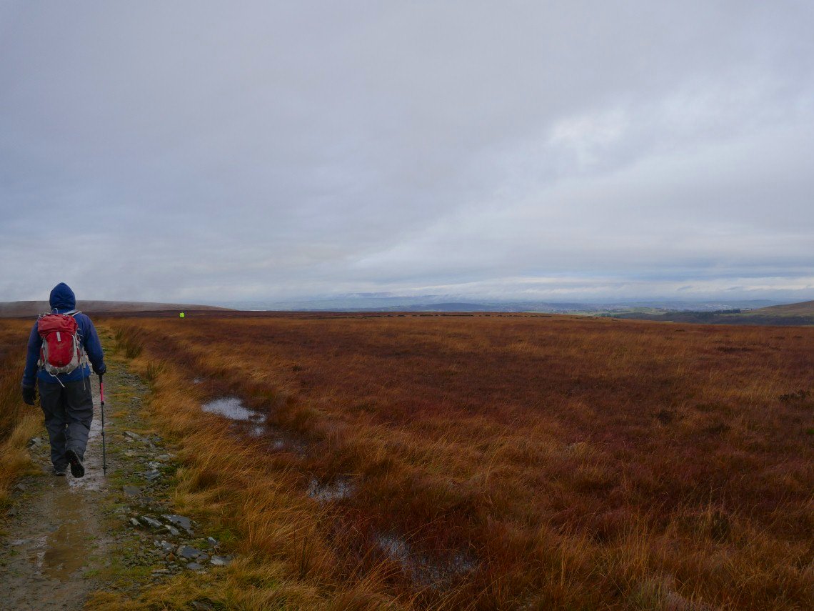
We set off in quite heavy rain which only relented as we reached Spitlers Edge the meandering path over the moor.
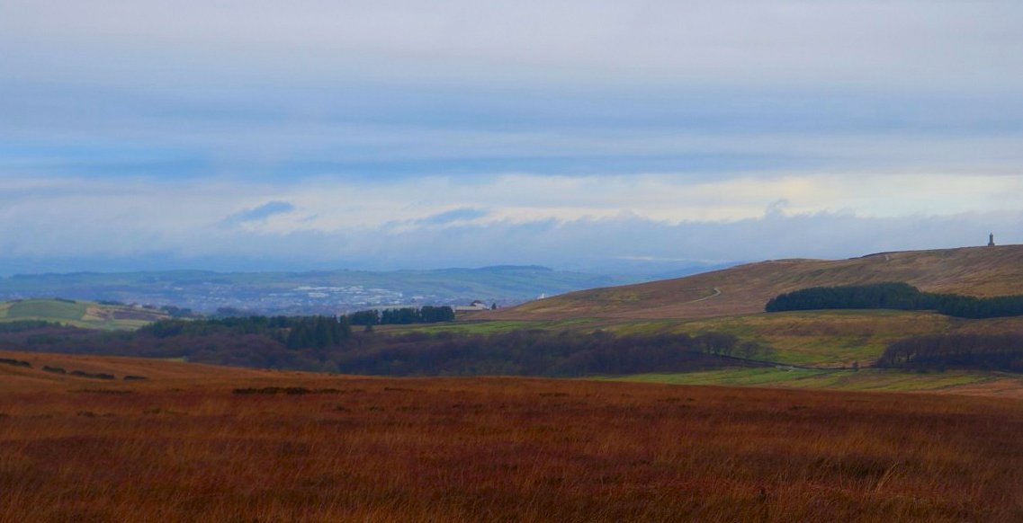
Bit of a view over Blackburn but not quite to Longridge fell and Pendle Hill. Darwen Tower on the right.
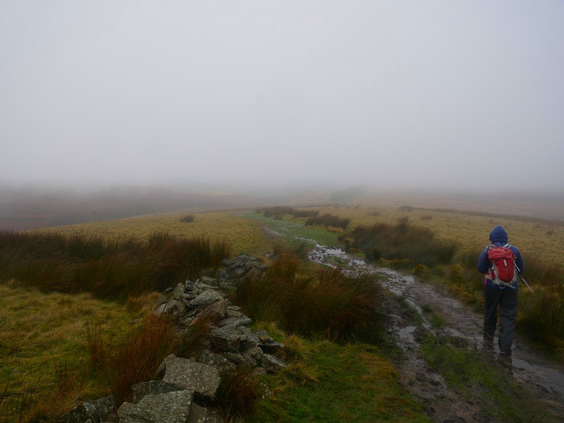
The bad weather returned as we climbed Great Hill and we set off for White Coppice in drizzle and low cloud.
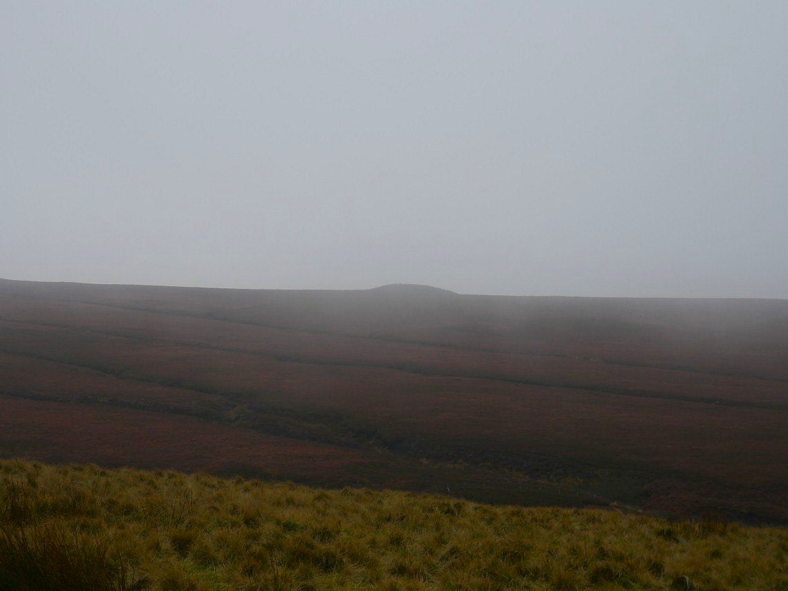
Over to our left is the neolithic tumulus Round Loaf
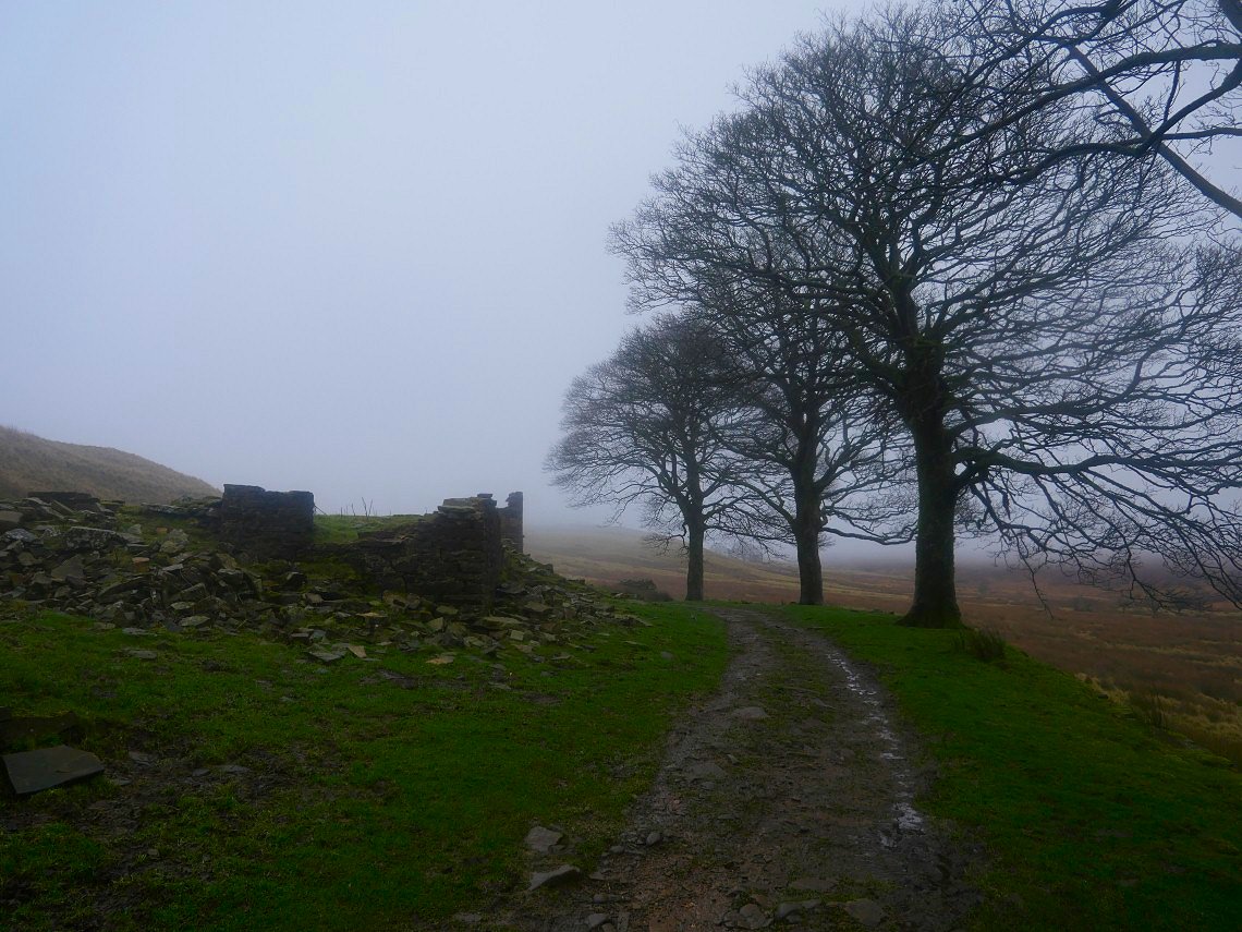
Passing through Drinkwaters. There are lots of these ruined farms dotted about the moors locally indicating that the hills were more populated than they are now.
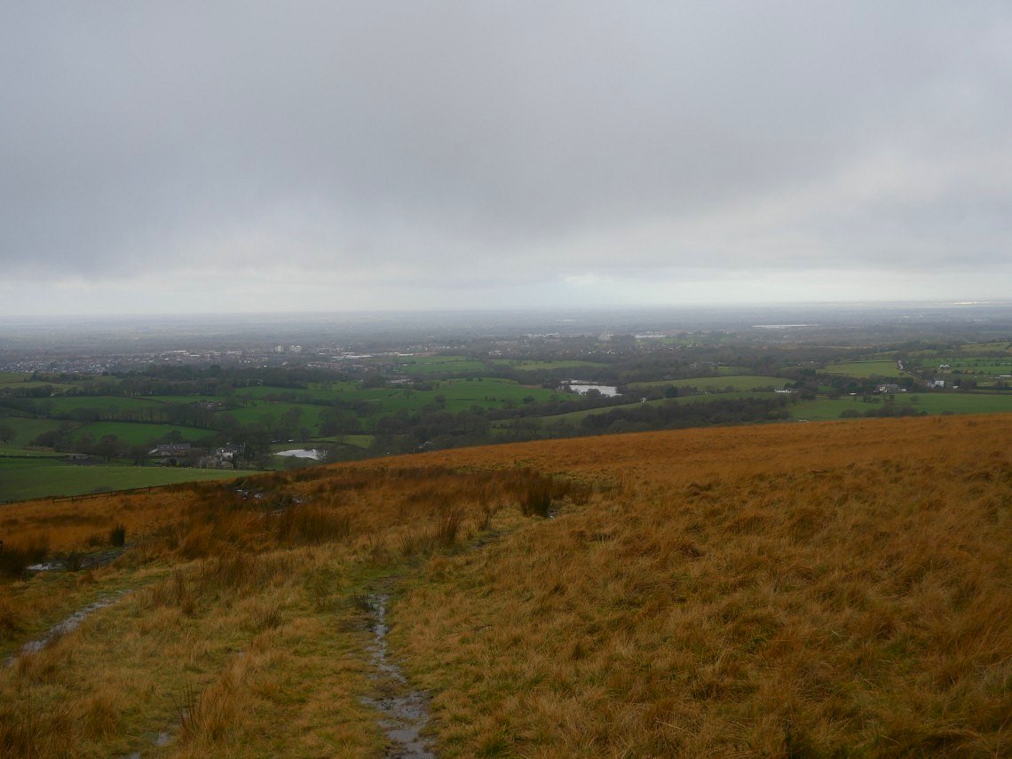
Looking down on White Coppice and the Lancashire plain.
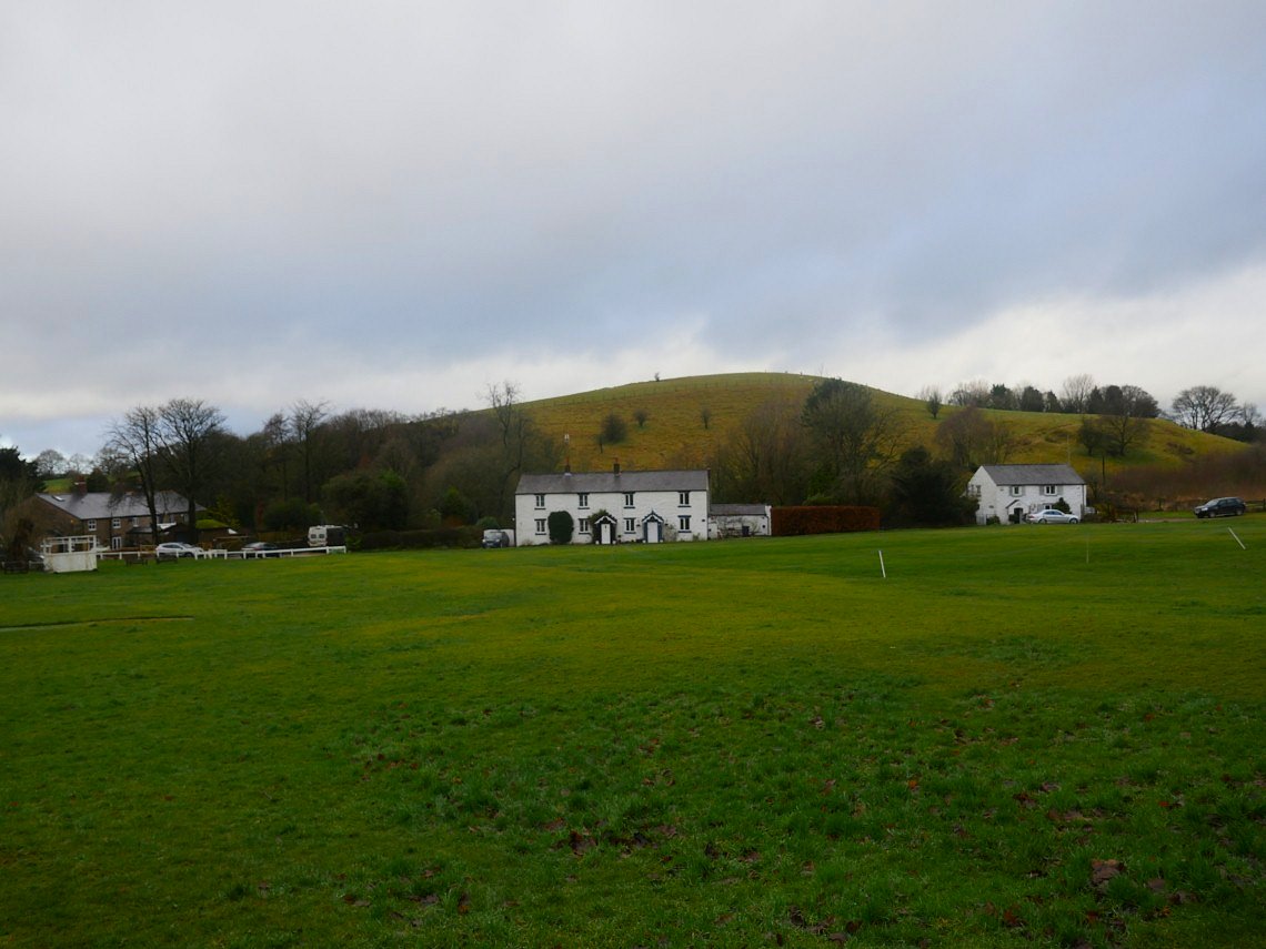
Lunch was taken under the shelter of White Coppice cricket club pavilion.
.
The weather picked up for a few minutes after lunch as we made our way along the path by Anglezarke reservoir.
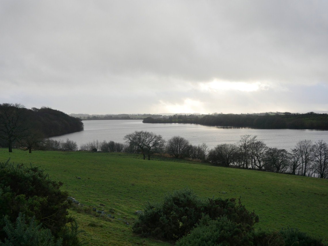
Speaking of which, here is.Anglezarke reservoir.
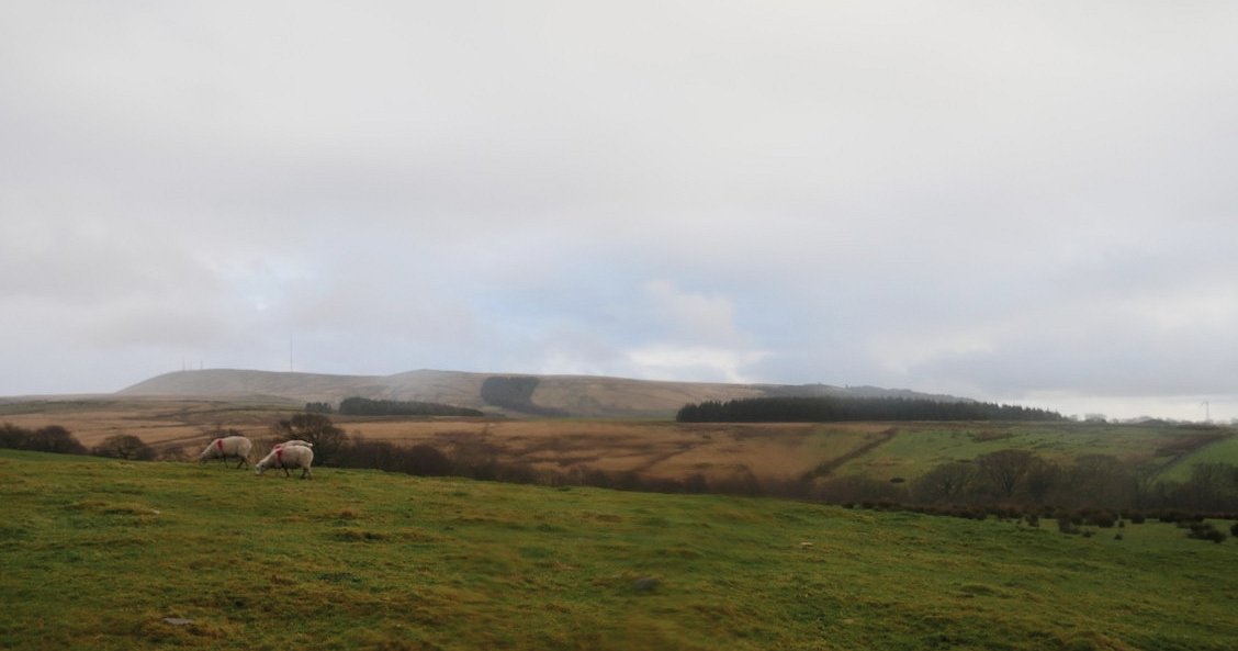
Unfortunately we had the hardest rain of the day as we passed the scenic High Bullough and Yarrow Reservoirs ( although High Bullough is being drained for maintenance so was not as scenic as usual ) We climbed out of the valley of Lead Mines Clough on to the open moor with Winter Hill ahead.
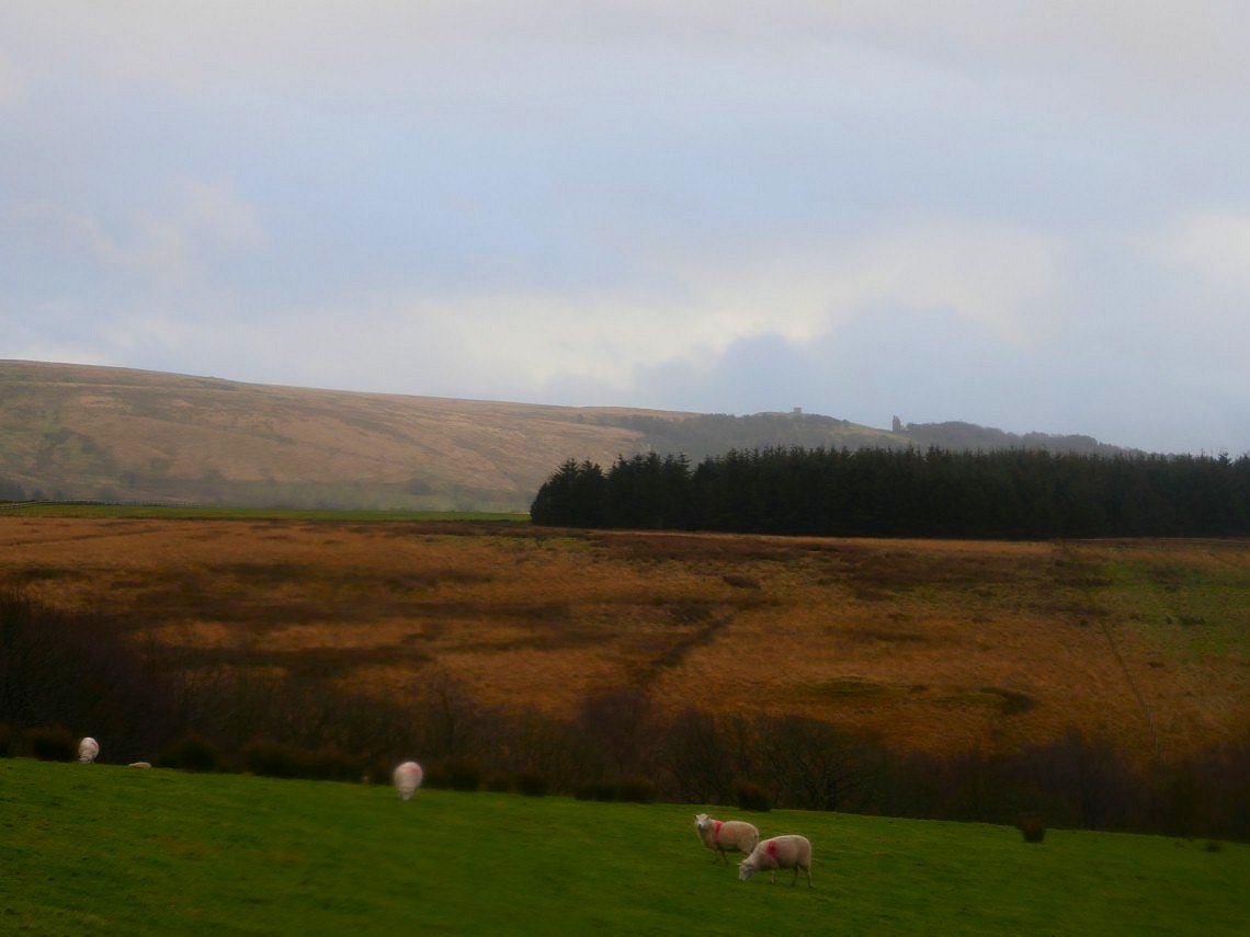
Rivington Pike on the left and the pigeon tower on the right.
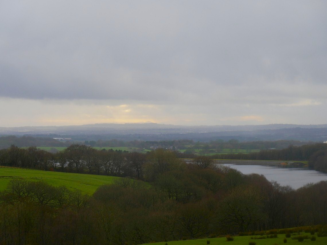
After the rain had moved away we had a very faint view of the mountains of Snowdonia.
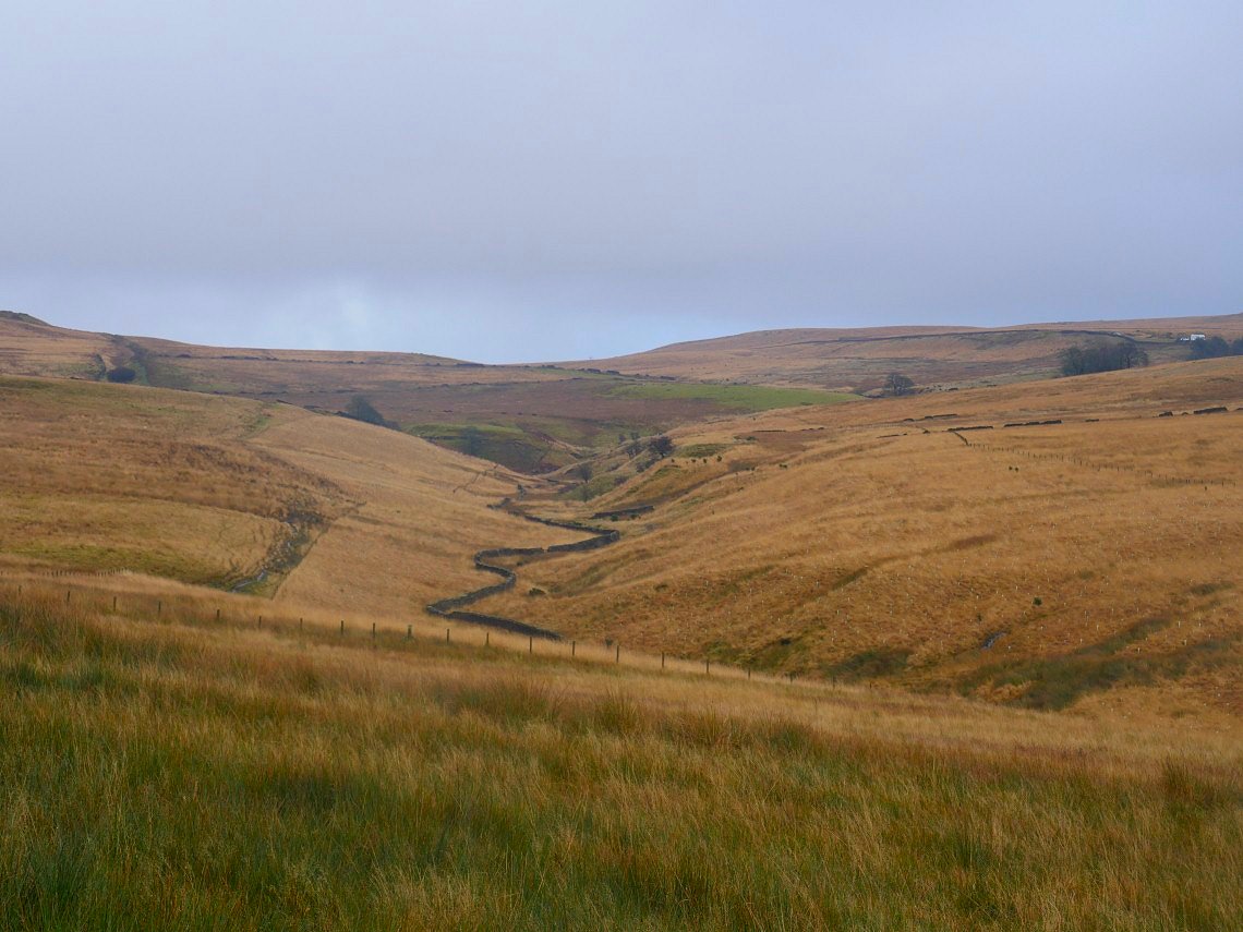
The valley of the infant river Yarrow.
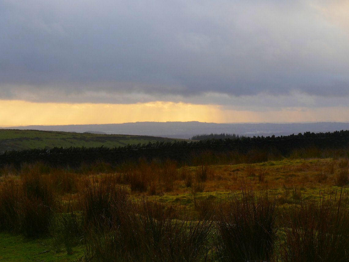
Nice little touch of early evening sunshine as we climbed back up to Will Narr.
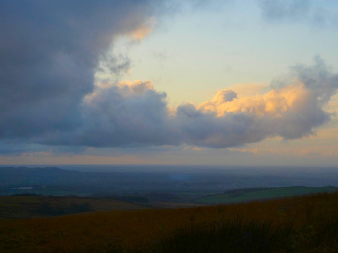
Sunlit cloud over the Lancashire plain.
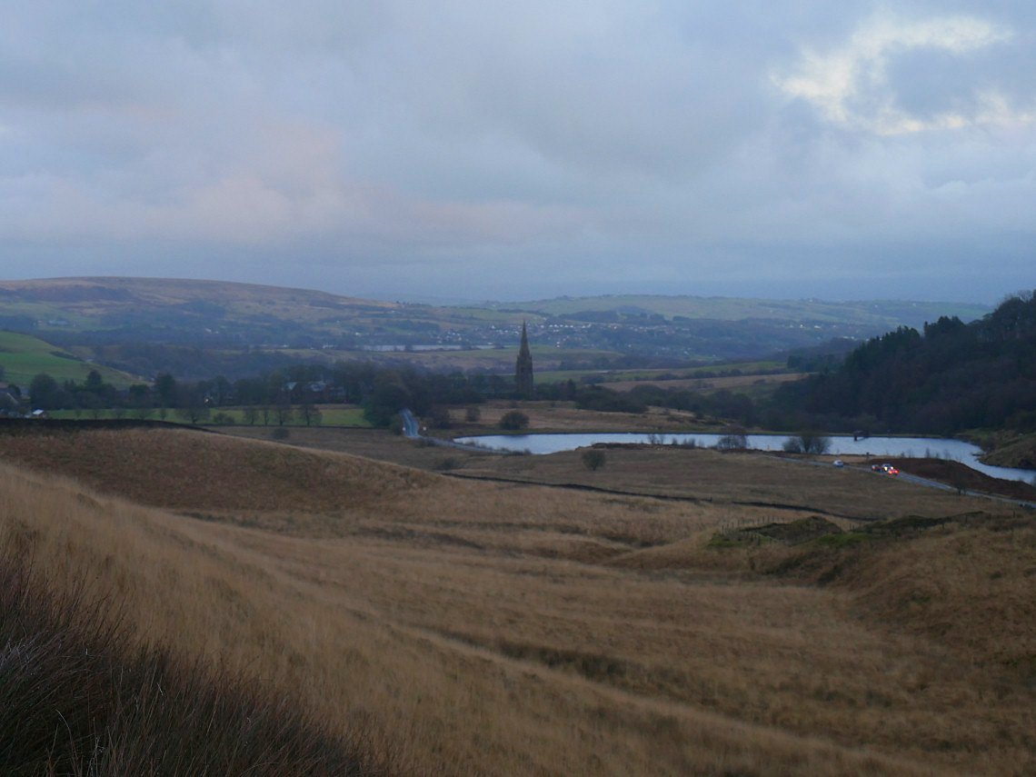
Descending back to Belmont.