WWW.KARLSWALKS.CO.UK
PICTURES AND TRIP REPORTS FROM MY WALKS IN THE ENGLISH LAKE DISTRICT
|
|
A few pictures from a couple of bad weather outings.
The late May bank holiday gave me the chance of a couple of nights camping and three days walking with a vague plan to make my way from the far north west of the national park heading roughly south east to see where I would end up. For whatever reason though in the week leading up to the walk I just didn't seem to have the enthusiasm I normally do, perhaps the weather forecast put me off or maybe a hard week at work was taking it's toll, anyway at the last minute I decided to go and the first part of my journey ran to plan and the train and bus got me to Cleator Moor.
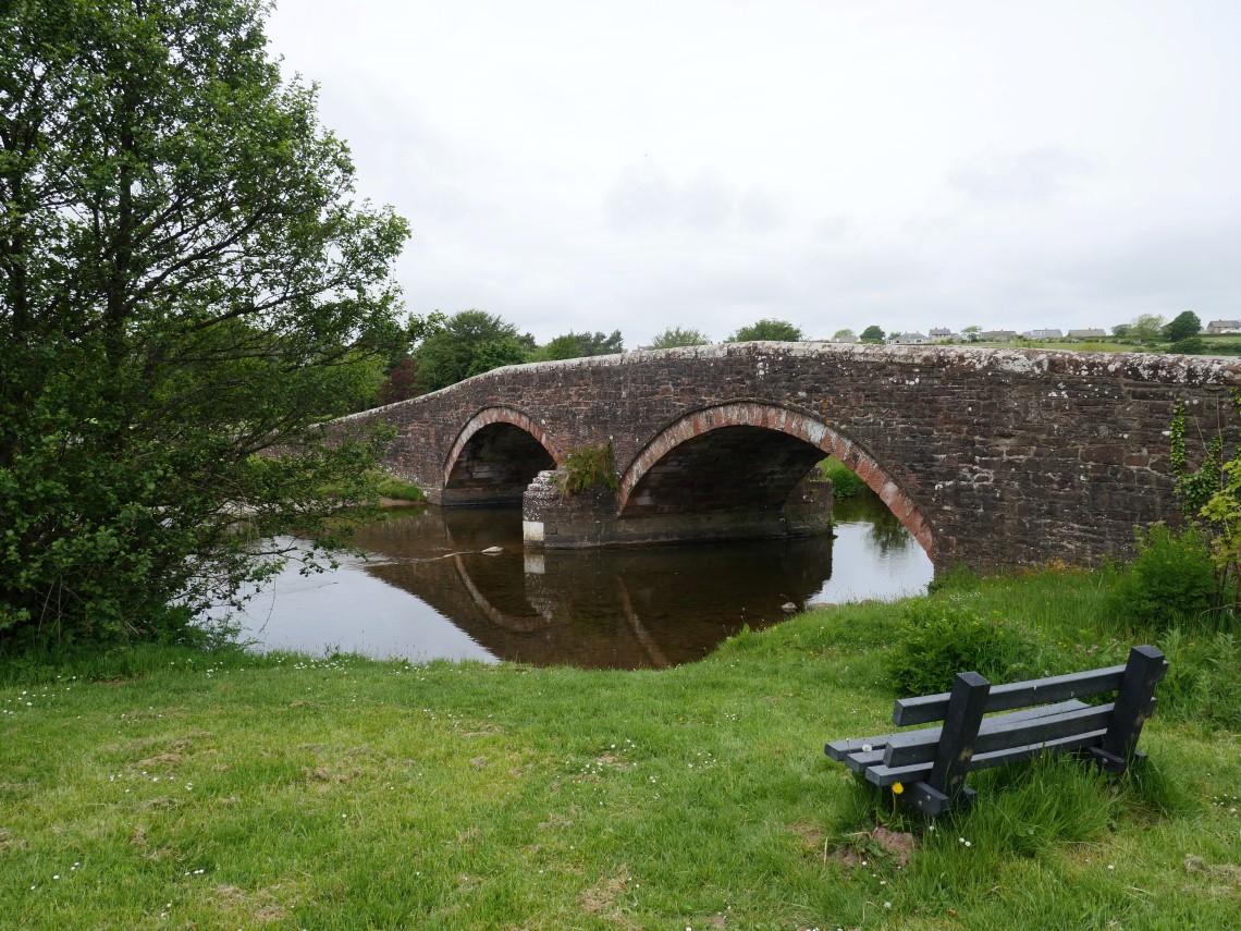
Leaving the town I crossed the Ehan at Wath Bridge and headed up Nannycatch road.
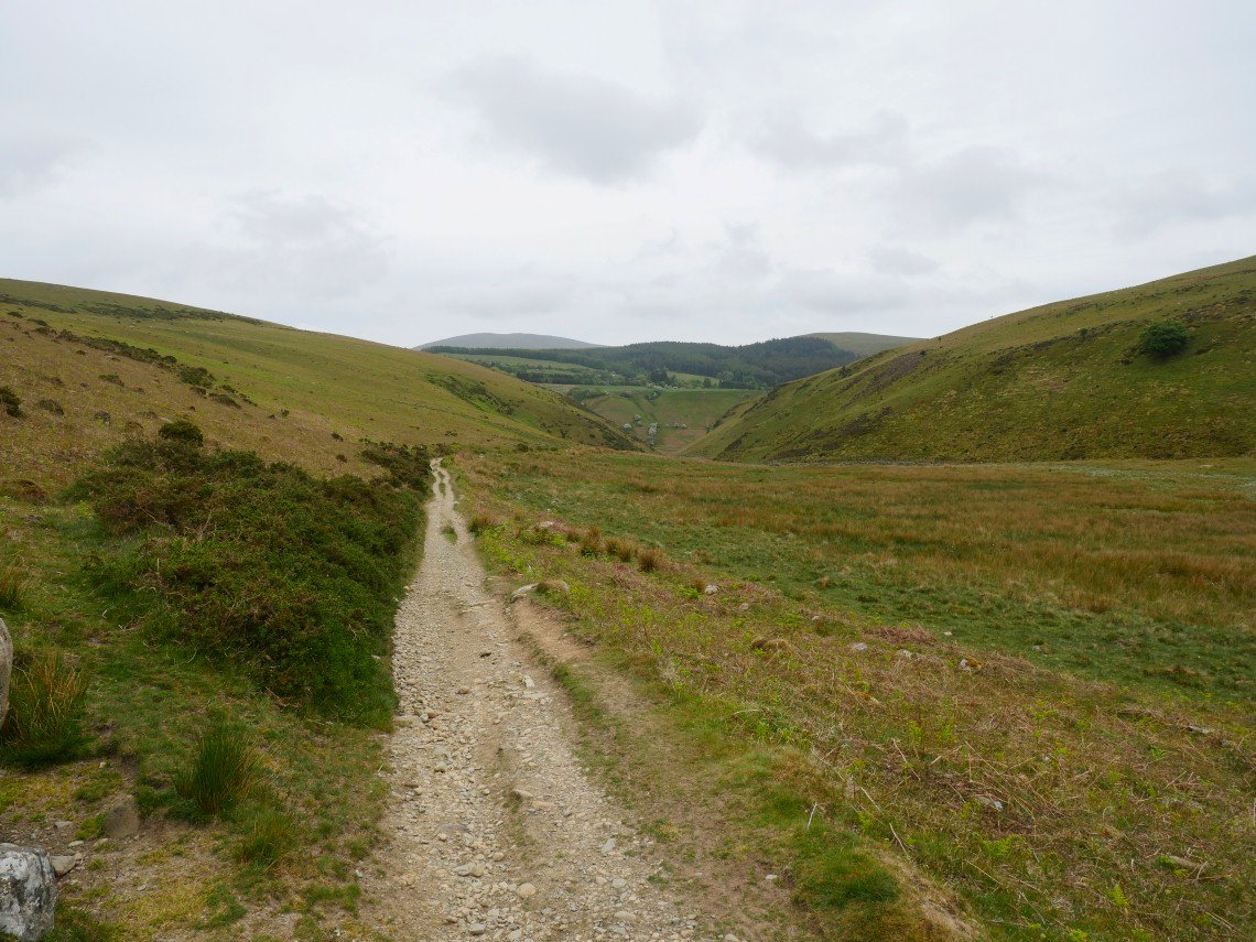
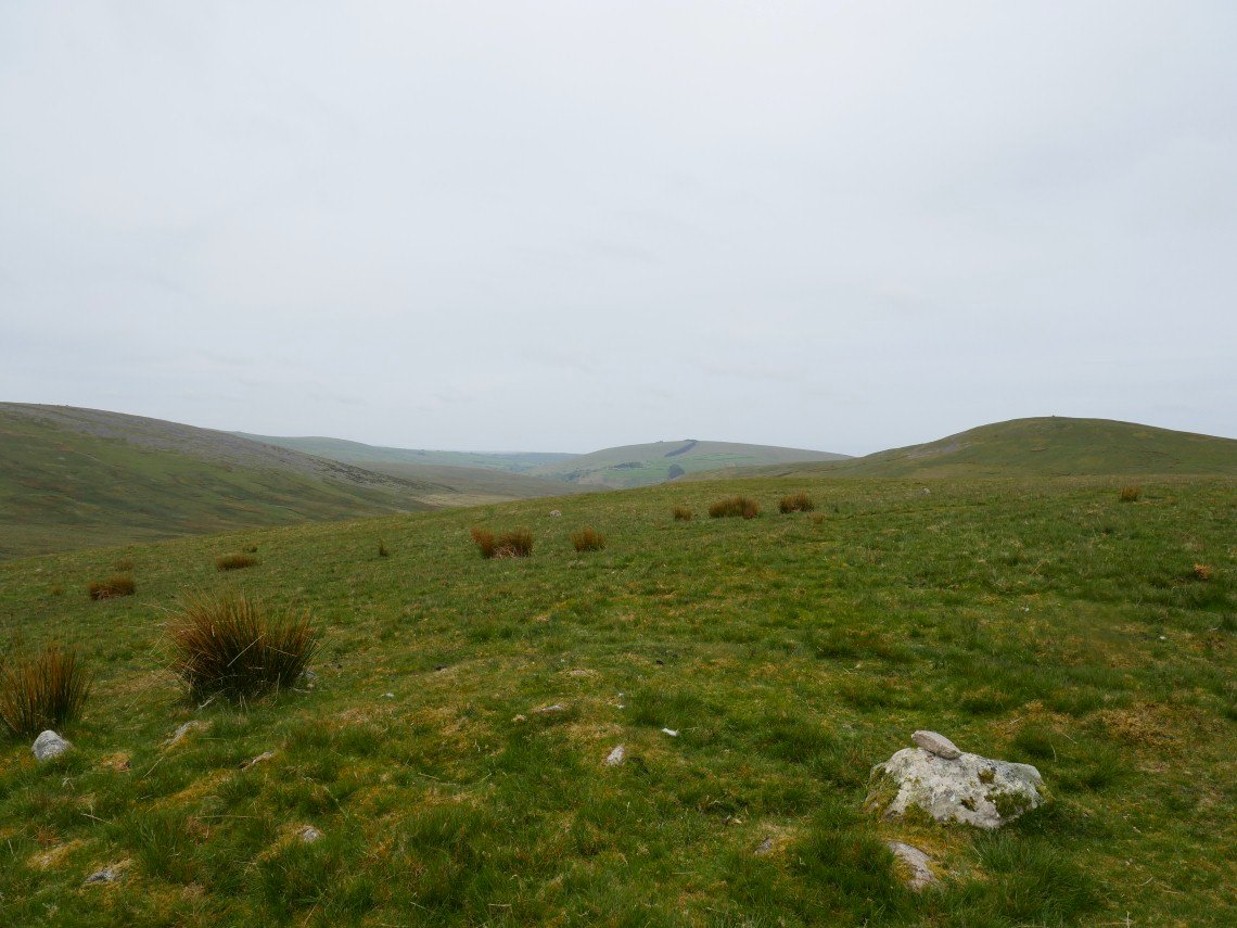
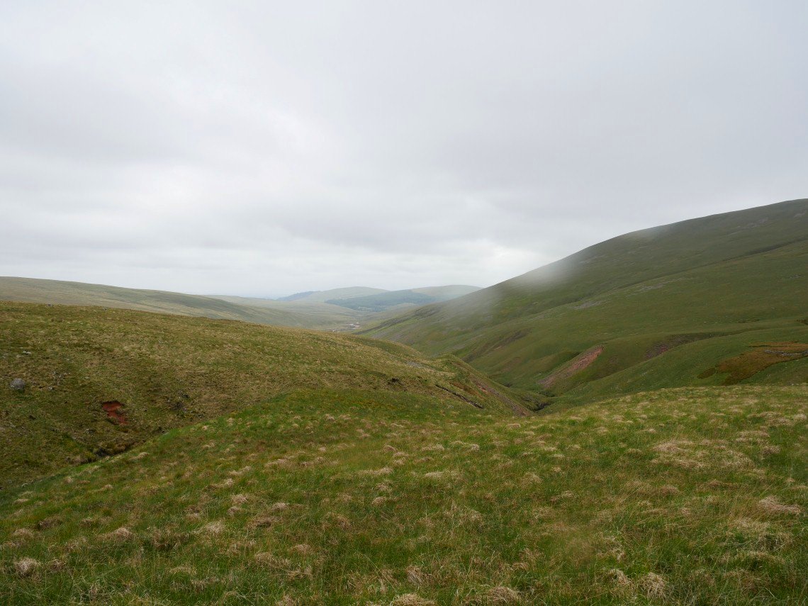
The tarmac gives way to a track leading down to the lovely Nannycatch Valley.The high ground in the distance is Kinniside Common and Lank Rigg.
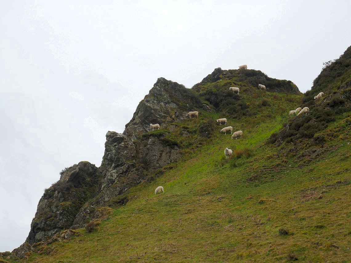
Mountaineering sheep on Raven Crag.
looking back to Dent on the left and Flat Fell on the right from the Cold Fell road.
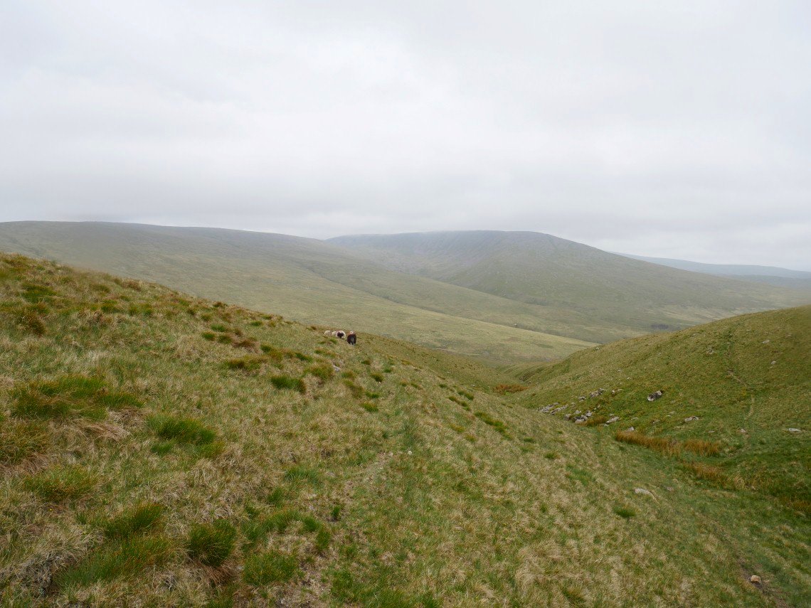
When I had done the Birkett tops in this area I wasn't 100% sure that I had passed over the top of Burn Edge so today I diverted up to it and from the top I'm looking back to Swarth Fell with Cold Fell.in the distance and the lower slopes of Latter Barrow on the left.
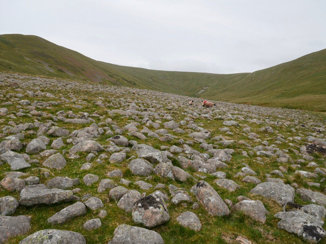
Into the valley of Whoap Beck now and I diverted off the path to look at this field of boulders.
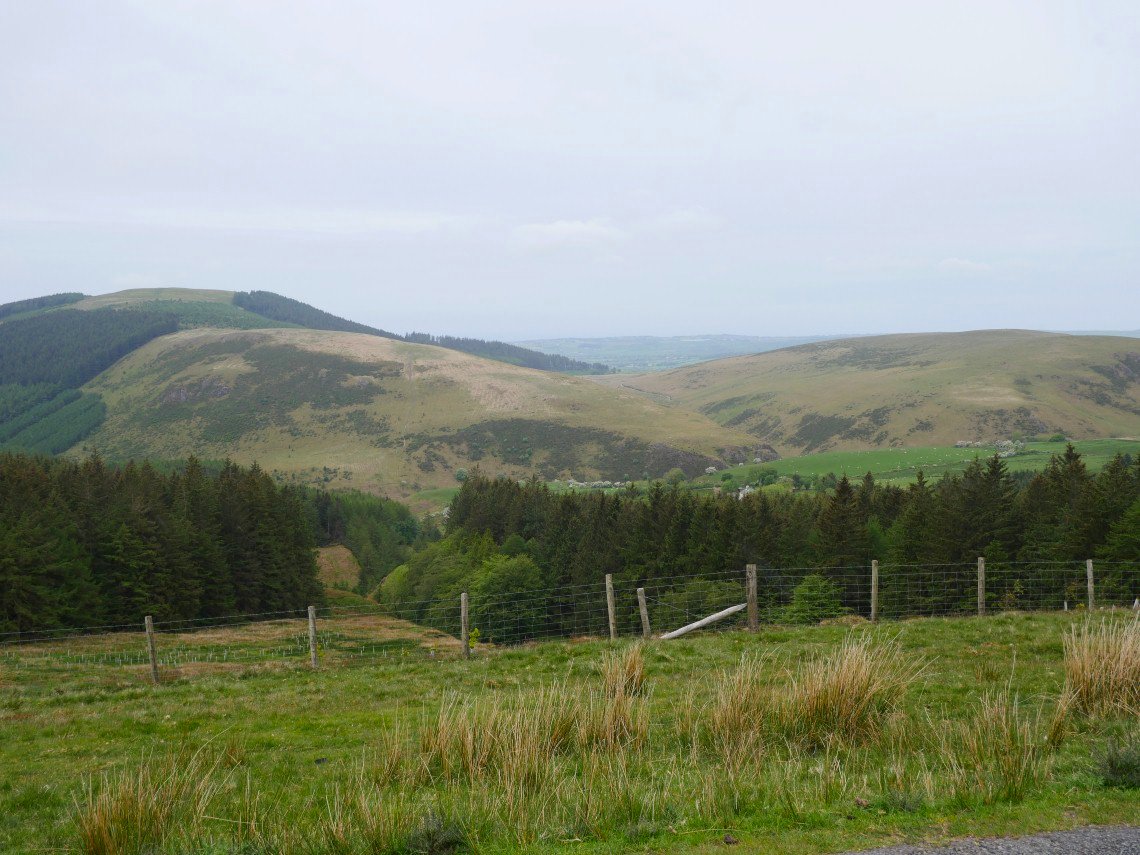
Climbing out of the valley Grike in the distance.
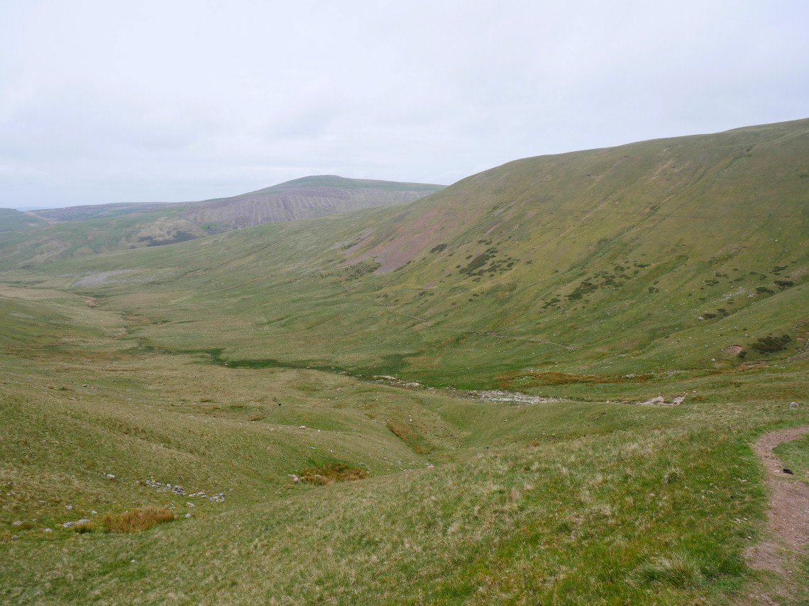
Looking to Caw Fell from just beyond the col between Whoap and Lank Rigg. The forecast was for Saturday to stay dry 'till late but there was rain on the wind.
.
It's starting to spot with rain now as I cross Short and Long Grain on my way to the base of Caw Fell.
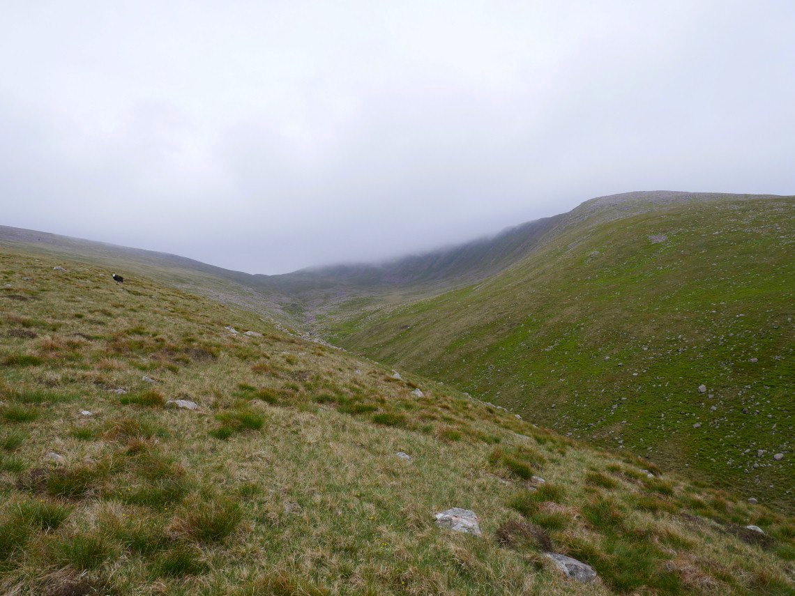
Approaching Bleaberry Gill and Caw is in the cloud.
As I started on the long pull up the ridge the rain started in earnest and it quickly became quite heavy so although it was not quite three O'clock I decided to pitch the tent on a small piece of flattish ground near the top of the ridge. The rain continued all day and all night without a break, sometimes drizzling and sometimes absolutely lashing it down. Paradoxically I slept really well but did decide to abandon my plans and work out the best way to get to the coast to catch the train. I decided to head down across the moor to the Blengdale forest and then walk through Blengdale to Gosforth and then Seascale where there is a station.
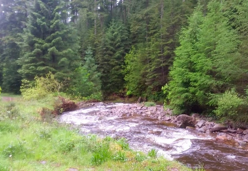
I packed up in the pouring rain so my camera was well buried in my pack so I only took this one phone picture of the impressive river Bleng racing through the forest. I was quite impressed with Blengdale especially as the rain slackened and I got a view of the river from above with mist swirling around the trees, in fact it all looked very Canadian and if a moose had come trotting around the corner I wouldn't have been surprised.
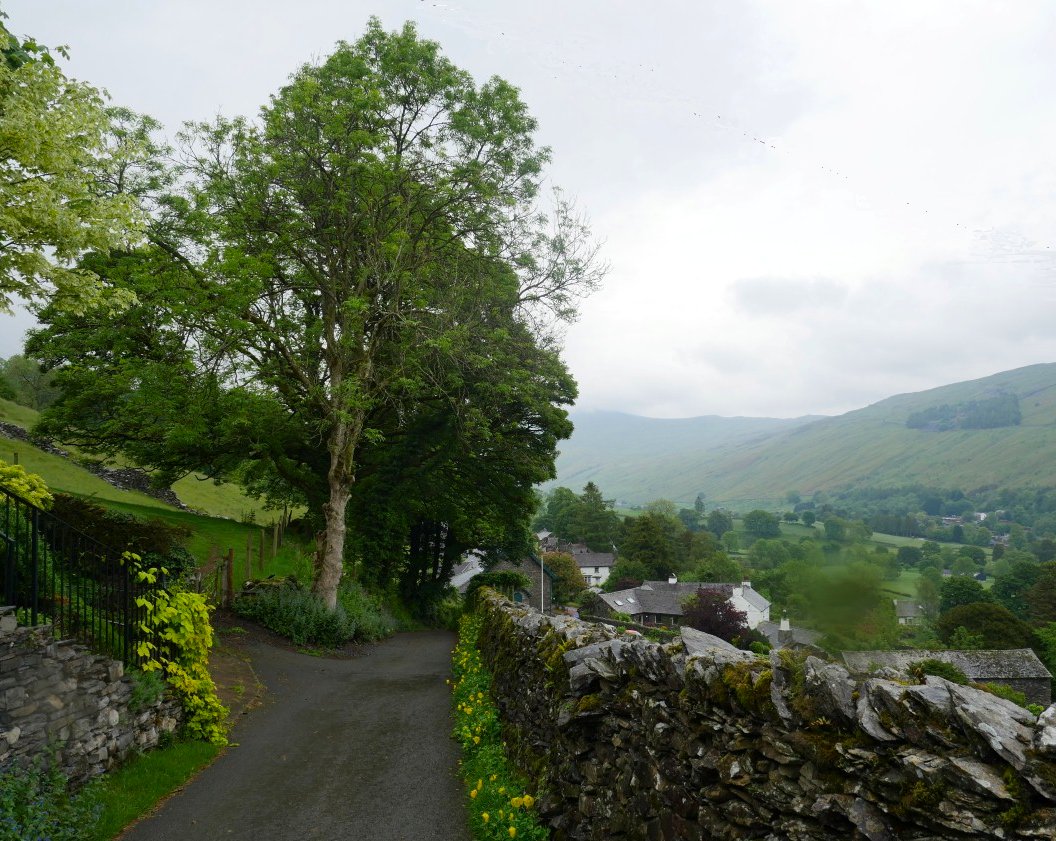
Fast forward seven days and Sue and I risked the weather again for a walk over Wansfell Pike and Baystones. Like we did on our last visit to Wansfell we walked up Robin Lane from where we got this view over Troutbeck.
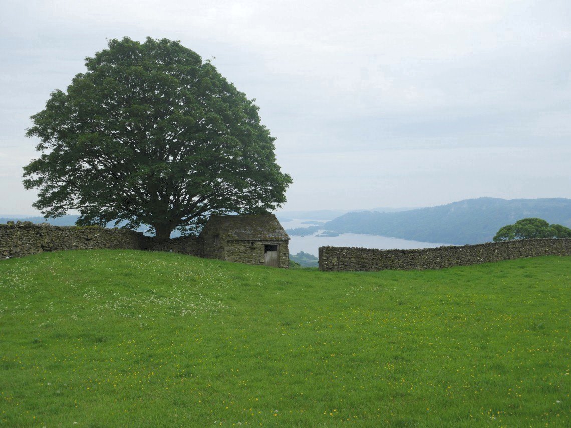
It's dry at the moment but still not what you'd call great weather. Windermere in the distance.
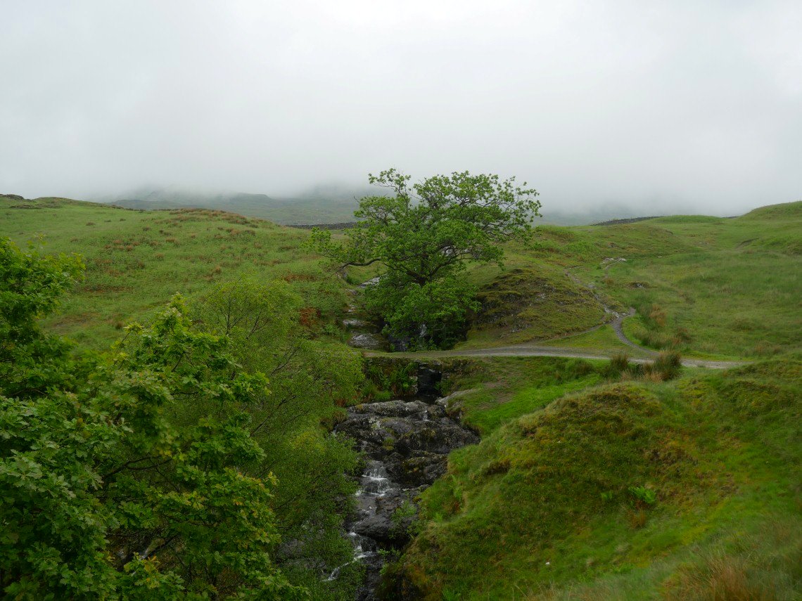
I should imagine the waterfalls at the head of Hundreds Road are a nice picnic spot in fine weather
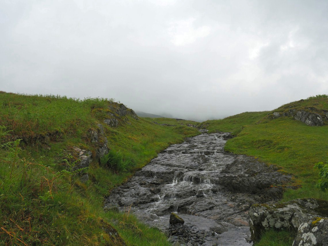
The beck running down to the falls.
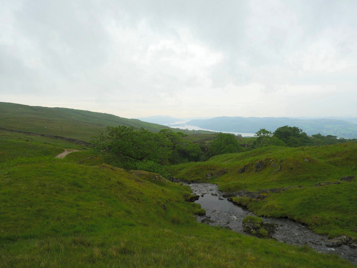
And from a bit further up Windermere is visible again.
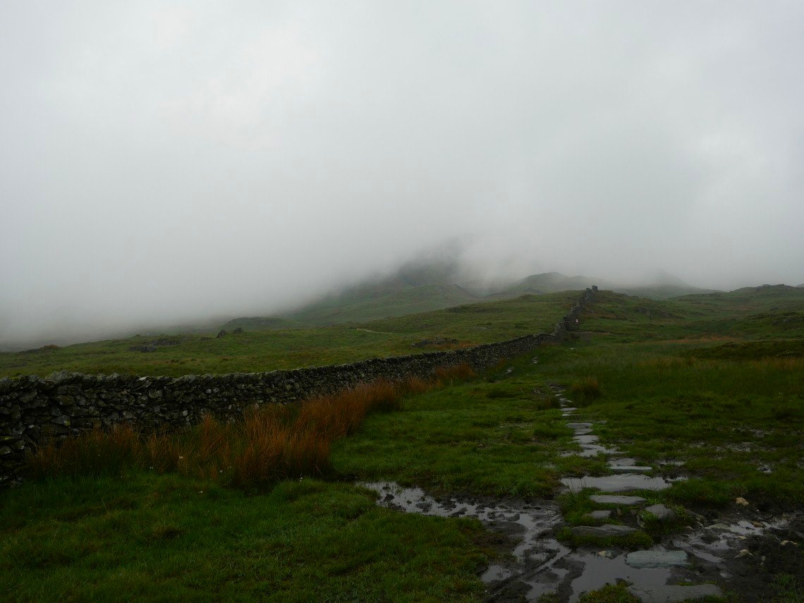
Which is more than can be said of Wansfell Pike.
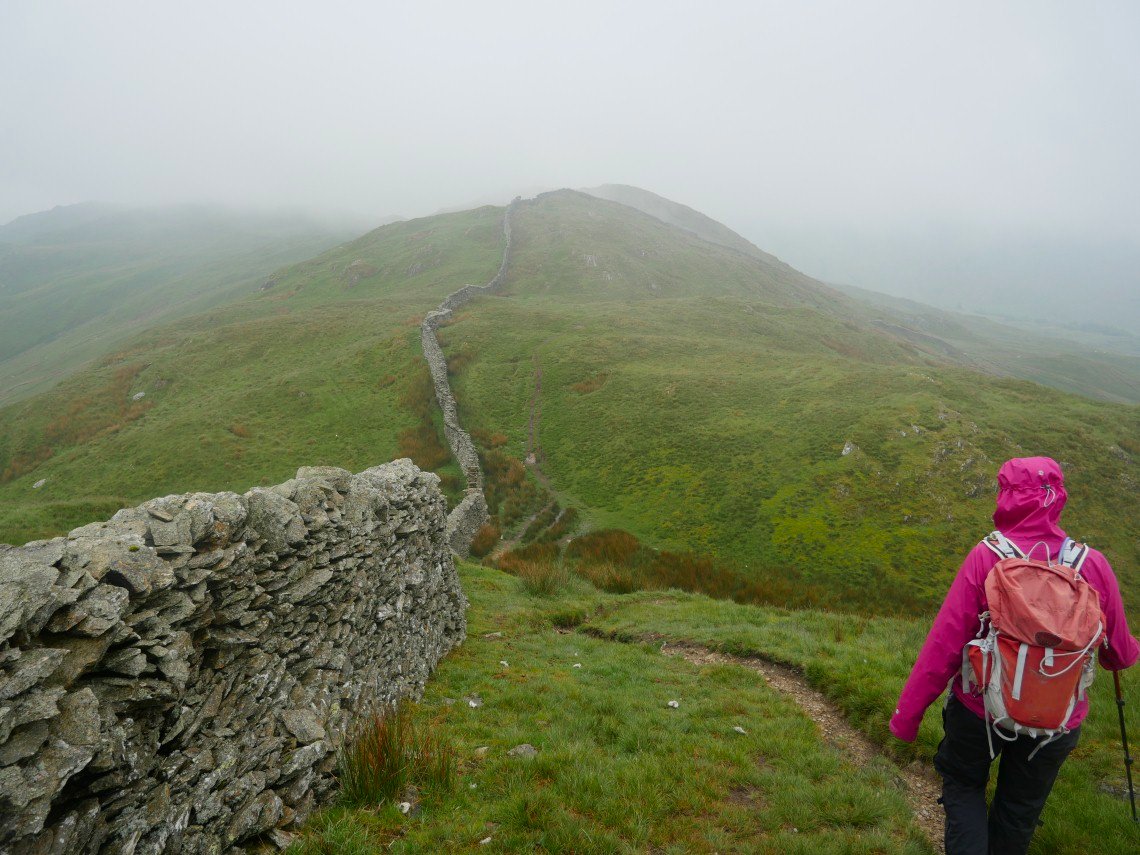
No view from Wansfell so It's along the ridge to Baystones.
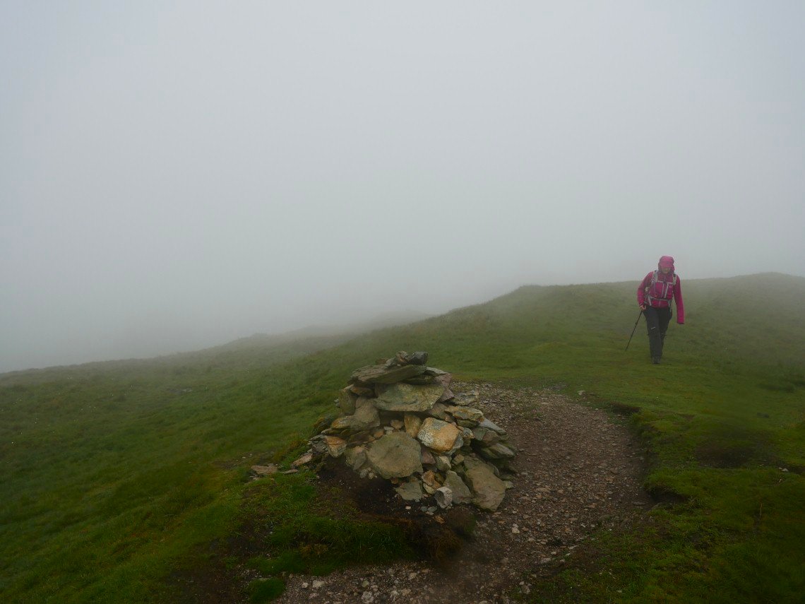
Where it's started to rain and a very cold rain for June it was too. it rained all the way back down to the car but we were determined to make the best of the day so we walked along the ridge to the road and then came back on a path new to us both which runs parallel to the road which again on a good clear day would give lovely views of Troutbeck Tongue and the valley.